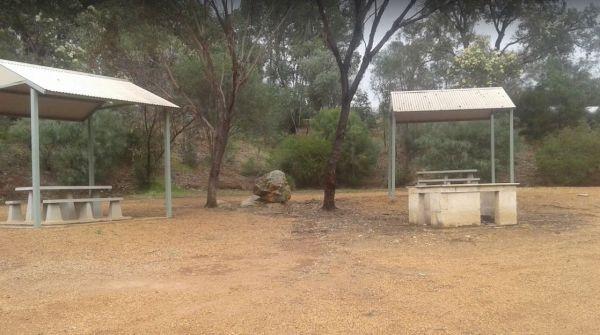
Facilities: Fishing
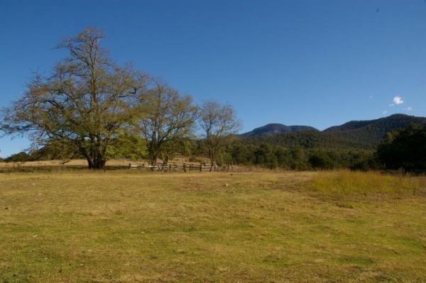
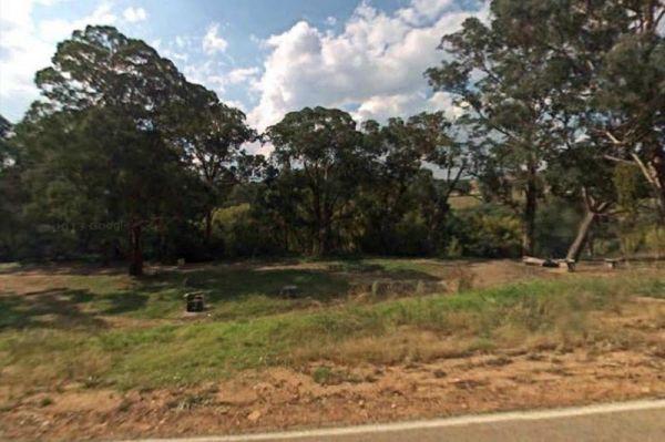
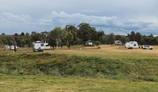
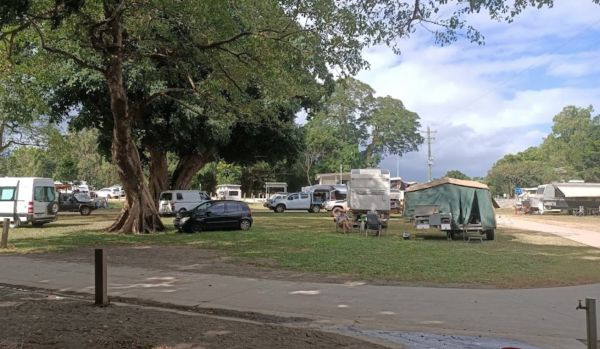
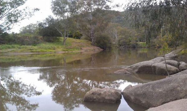
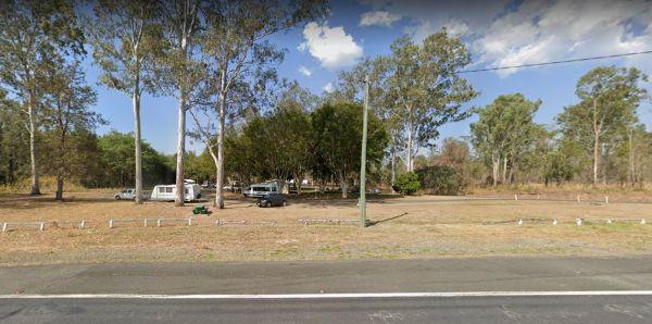
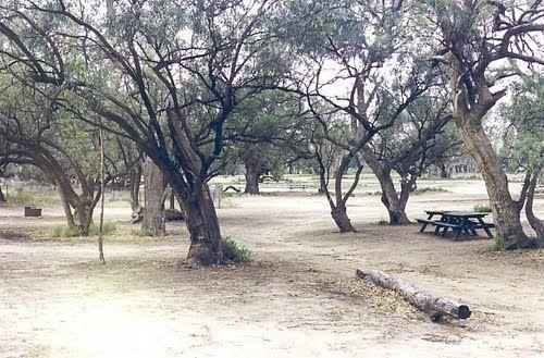
From the 25 Mile Creek Camping Ground, it's a steep walk to get to the Big River, with dinner waiting to be caught if your a fisherman, otherwise it's another rough bush campsite. 25 Mile Creek Camping Ground
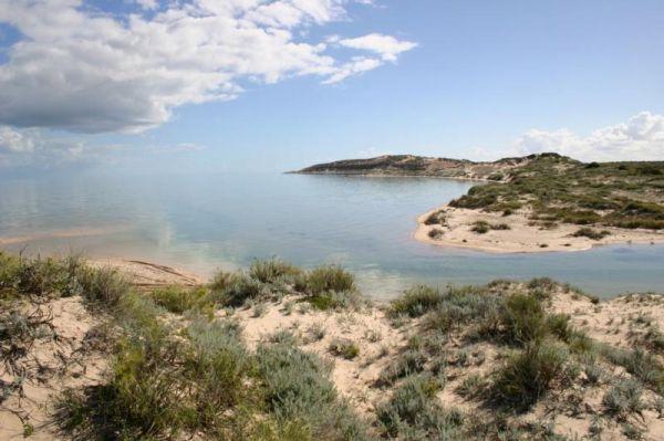
90 Mile Beach, Golden Beach, Seaspray, Paradise Beach C...
Free camping areas located between Golden Beach and Seaspray in the Gippsland Lakes Coastal Park, also camping at Paradise Beach. Toilets at every 2nd site. Hot showers available at Golden Beach. Some areas dogs allowed on leash, no dog areas signed. Furt ...
Read More...
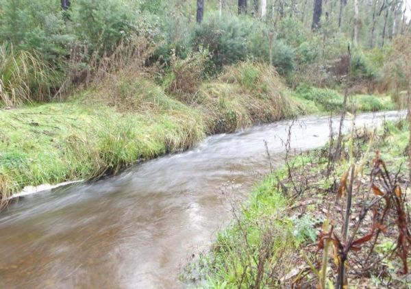
Ada River Camping Area
The Ada River Campground is isolated and quiet, and it's distance from the Princes Highway deters most overnight travellers. This campsite is set among tall gum trees with plenty of room for your caravan to spend a pleasant day or two. You have drop toile ...
Read More...
The AH Youngs Camping Area has long drop toilets, and the Buckland River water is clear with plenty of places to swim. The campsite has large grassy areas to park your caravan, or pitch a tent. AH Youngs Camping Area location map
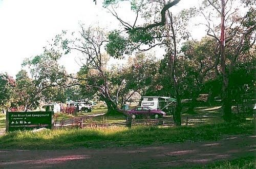
Aire River East Campground - Otway National Park
When camping at Aire River East Campground - Otway National Park.
For permits and information, contact Parks Victoria: 13 19 63 (within Australia)
Entrance to the Aire River East Campground - Otway National Park
Aire River East Campground - Otway Nat ...
Read More...
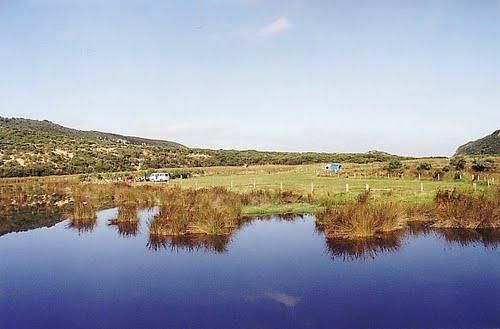
Aire River West Campground - Otway National Park
When camping at Aire River West Campground - Otway National Park, remember to Bring your own water & firewood.
For permits and information contact Parks Victoria: 13 19 63 (within Australia)
Entrance to the Aire River West Campground - Otway Nationa ...
Read More...

The Alma Reserve Picnic Area is a nice spot for a rest and a picnic, grab your fishing rod and try your luck, or launch your kayak and have a quick exploratory paddle of the waterway.
No Camping is permitted here
Entrance to the Alma Reserve Picnic Area ...
Read More...
 ,
,  ,
, 
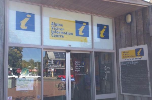
The Alpine Visitor Information Centre is located in the township of Bright and open seven days a week (excluding Christmas day). Entrance to the Alpine Visitor Information Centre Alpine Visitor Information Centre location map
 ,
,  , , ,
, , ,  ,
,
Andersons Camping Area
Andersons Garden Camping Area is located within the Mount Disappointment State Forest, with the Sunday Creek running along this campground, it's a nice place for a tent camping adventure.
Entrance to the Andersons Camping Area
Andersons Camping Area l ...
Read More...
Andersons Garden Camping Area
The Andersons Garden Camping Area, the toilets are as clean as a drop toilet can be. There are a lot of mud tracks and roads to explore. There is a nice little creek for the kids to paddle in. The campground is now boarded off so you won't be able to get ...
Read More...
Anglers Rest Campground Area
When stopping at the Anglers Rest Camping Area, is the first of many river access areas from Anglers Rest. There is a drop toilet, with not a lot of level ground to camp at, but you can walk over to the Blue Duck Inn for a bite to eat.
Entrance to the An ...
Read More...
Entrance to the Anglesea Beachfront Family Caravan Park Anglesea Beachfront Family Caravan Park location map
,  , ,
, ,  ,
,  ,
,  ,
,  ,
,  , ,
, ,  ,
,  ,
,  ,
,  ,
,  , ,
, ,  ,
,  ,
,  ,
,  ,
,  ,
, 
Entrance to the Anglesea Lions Park Reserve Rest Area Anglesea Lions Park Reserve Rest Area location map
, , , , ,
Angusvale Camping Area has plenty of places for your camper trailer plus, there is a Ranger on duty in the area also, you can ask about some of the Old Gold Mining ventures that took place not too far away from here.
Angusvale Camping Area
Angusvale C ...
Read More...
The Apex Beach Camping Area has good fishing right next to your campsite on the banks of the mighty Murray River Victoria side, and opposite the NSW town of Tocumwal. Apex Beach Camping Area location map
Apex Caravan Park
Entrance to the Apex Caravan Park Apex Caravan Park location map
, , ,  , ,
, , 
Entrance to the Apex RiverBeach Holiday Park Apex RiverBeach Holiday Park location map
, , , , , , , , ,  ,
,

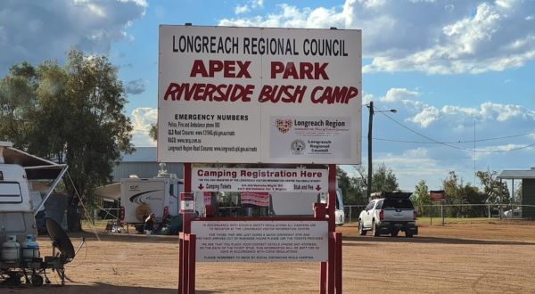
When stopping at the Apex Riverside Park you can enjoy fishing and kayaking, but be prepared for a few neighbours, as this is a popular place to stay. Be wary of the wet season if stopping overnight here. No limit on stay. Wifi available but limit to top ...
Read More...
, , , , , 
Apollo Bay Recreation Reserve
Entrance to the Apollo Bay Recreation Reserve Apollo Bay Recreation Reserve location map
, , , ,  , ,
, ,
Apollo Bay Rest Area
Entrance to the Apollo Bay Rest Area Apollo Bay Rest Area location map
, ,
The Archers Crossing Camping Area (Northside) is a basic campsite, with some fireplaces and mobile phone reception. The bush camp is on the banks of the Condamine River where you might be able to catching a fish for dinner.
Archers Crossing Camping Area ...
Read More...
, , ,
The Archers Crossing Camping Area (Southside) has mobile phone reception and some fireplaces, bbqs and picnic tables and some shade trees located on the banks of the Condamine River. You might like to pop your kayak into the river and try to catch a fish ...
Read More...
, , , , ,
The Arno Bay Park Rest Area is a nice place for a stroll along the beach or have a bite to eat at one of the picnic tables, then use the public toilets and rubbish bins. Entrance to the Arno Bay Park Rest Area Arno Bay Park Rest Area location map
, , , ,
Arve River Picnic Area is a rather nice spot for a picnic, it's situated on the bank of the Arve River, just off the main road and in amongst the forest, with roughly 4 parking spots if you're in a campervan. There are picnic tables, flushing public toile ...
Read More...
, , , , ,
Avoca Lions Park has free Camping overlooking the Avoca River its a beautiful place to stop and unwind. The kids can play on the playground and you can sit by and cook dinner on the Barby, or have a crack at fishing in the nearby Avoca River.
Entrance to ...
Read More...
Aysons Reserve is a great free camping spot, is not bad for an overnight stay or several days with a caravan or tent. This site gets quiet busy during public holidays, there are public toilets and a boat ramp right on the Campaspe River, and you are permi ...
Read More...
,  , , , ,
The Babinda Rotary Park Campground has picnic tables, rubbish bins and a toilet block a blackwater dump point next to it, there is also a potable water tap in the shower room. The park is on the banks of the Babinda Creek with plenty of room to park all s ...
Read More...
, , , , , , ,
The maximum number of stays at any of the Balgal Beach Foreshore Reserve Camping Area sites is once per week. Council officers routinely visit camping areas to check on how long people have stayed. If it is found that campers are not complying with this p ...
Read More...
, , ,
The maximum number of stays at any of the Balgal Beach Foreshore Reserve Camping Area sites is once per week. Council officers routinely visit camping areas to check on how long people have stayed. If it is found that campers are not complying with this p ...
Read More...
, , ,
The Ball Bay Foreshore Reserve Camping Area has an electric bbq, and hot water sink, clean toilets, outside cold showers, bins, right on the edge of the Coral Sea. Local Council Attendants visit daily to collect fees. Contact: Mackay Regional Council on 1 ...
Read More...
, ,
Balla Balla Inlet
The Balla Balla Inlet has quite a few suitable places to stop, and maybe take a few extra days rest all along the Balla Inlet. Balla Balla Inlet location map
,
Balley Hooley - Snowy River National Park has no bookings required, camping is strictly on a first in first-served basis Balley Hooley - Snowy River National Park location map
, , ,
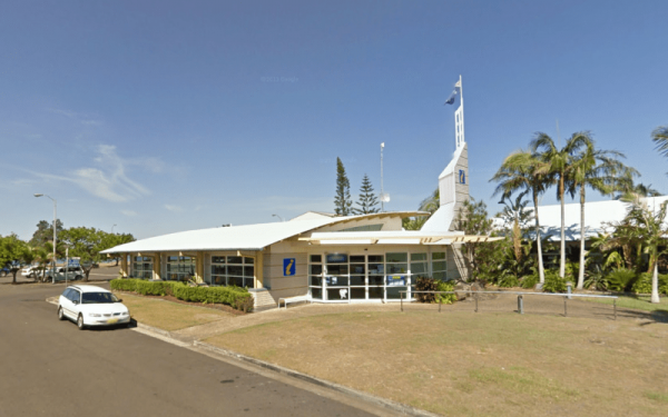
Ballina Visitor Information Centre
Open Hours:
Monday 9am–5pm
Tuesday 9am–5pm
Wednesday 9am–5pm
Thursday 9am–5pm
Friday 9am–5pm
Saturday 9am–5pm
Sunday 9am–5pm
Entrance to the Ballina Visitor Information Centre
Ballina Visitor Information ...
Read More...
, ,
Banksia Bluff Campground
Banksia Bluff Campground location map
, , ,
Entrance to the Barham Caravan & Tourist Park. Barham Caravan & Tourist Park location map
, , , , , , , , ,
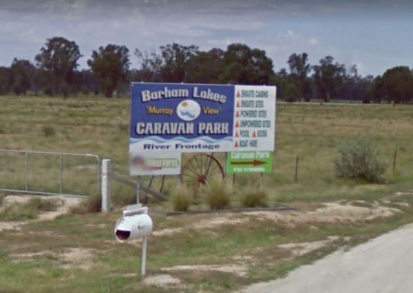
Entrance to the Barham Lakes Caravan Park Barham Lakes Caravan Park location map
, , ,  , , , , , , , , , ,
The Ocean is within a hop skip and a jump from the Barkers Rocks Camping Area.
Note: The Yorke Peninsula Council are now charging fees to stay here from the 24 January 2021
Entrance to the Barkers Rocks Camping Area
Barkers Rocks Camping Area locatio ...
Read More...
, ,
Barmah Lakes Camping Area is close to the Murray River and is great for Kayaking, Photography, Fishing, Swimming, and there is a boat ramp as well. Barmah Lakes Camping Area location map
Entrance to the Barmera Apex Park Rest Area Barmera Apex Park Rest Area location map
, , , , ,
Entrance to the Barnadown River Reserve Barnadown River Reserve location map
, , ,
The Barnett River Gorge Barnett River Gorge location map
, ,
Entrance to the Barwidgee Rest Area Barwidgee Rest Area location map
, ,
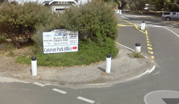
Barwon Heads Caravan Park
Entrance to the Barwon Heads Caravan Park Barwon Heads Caravan Park location map
, , , , , , ,
Baw Baw National Park - Aberfeldy River Camping Area is within easy walking distance to the Aberfeldy River where you can catch a trout for dinner, or try your hand at panning for gold. This campsite set amongst gumtrees and not a bad place to camp for a ...
Read More...
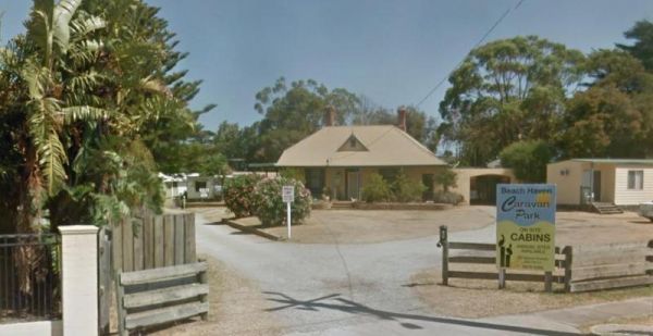
Entrance to the Beach Haven Caravan Park Beach Haven Caravan Park location map
, ,
Entrance to the Beach Park Tourist Caravan Park Beach Park Tourist Caravan Park location map
, , , , , , , , ,
Bear Gully Reserve Camping Area
Bear Gully Reserve Camping Area is a nice place off season, but very busy during School Holidays. It has beautiful Rock Pools long the beach for you to explore and capture with your camera.
Bear Gully Reserve Camping Area location map
Bear Gully Reser ...
Read More...
Beardy Waters Rest Area
The Beardy Waters Rest Area is a quite area and room for your caravan with some shady trees to park under, and quite close to the River. There is undercover picnic tables and fireplace base bbqs, and you can drop a line in or have a paddle in your Kayak w ...
Read More...
, , , , ,
Bears Lagoon Fruit Fly Rest Area
The Bears Lagoon Fruit Fly Rest Area has plenty of room to park your caravan. There are a few picnic tables and rubbish bins, and the lagoon is not to far away if you want to try some fishing.
Entrance to the Bears Lagoon Fruit Fly Rest Area
Bears Lag ...
Read More...
, ,
Beau Morton Park Rest Area
From the Beau Morton Park Rest Area you can take a stroll along edge of Racecourse lake, maybe throw a line in just for fun, you never know... they might be on the bite, or you could take the kayak of the the roof rack and have a paddle.
Entrance to the ...
Read More...
, , , ,
Beechworth Lake Sambell Caravan Park
Entrance to the Beechworth Lake Sambell Caravan Park Beechworth Lake Sambell Caravan Park location map
, , , , , ,  , , , , ,
  ,
,
The Beggs Bend State Forest Camping Area has quite a few places to camp at, all along this stretch of dirt road which follows the Murray River for a bit.
Entrance to the Beggs Bend State Forest Camping Area
Beggs Bend State Forest Camping Area locatio ...
Read More...
Benalla Visitor Information Centre overlooks lake Benalla and this centre incorporates a Museum which includes Ned Kelly for those interested in his life.
Open Hours:9.00am to 5.00pm everyday
Entrance to the Benalla Visitor Information Centr ...
Read More...
,
At the Benaraby Public Campgrounds there are cold showers available, tap water, a public toilet, picnic tables, bbqs, some rubbish bins and you can get phone reception here.
Entrance to the Benaraby Public Campgrounds
Boyne River Rest Area location ma ...
Read More...
, , , , , , ,
Entrance to the Holiday Haven Bendalong Holiday Haven Bendalong location map
, , , , , , , , ,

Bendeela Reserve Camping Area
The Bendeela Reserve Camping Area is a nice spot on banks of the Kangaroo River. Turn left just before the power station. Note: The dump point is located at the first toilet block. Bendeela Reserve Camping Area location map
The Bendemeer Apex Park Rest Area is a nice spot near to local services, with lots of picnic tables both under shade and under cover. Garbage bins and toilets are there, along with picnic tables and a bbq, plus a completely fenced children playground. The ...
Read More...
The Bendemeer Park Rest Area is located next to the Watson Creek quite a nice place to pull over and relax a bit. Note: No Camping Permitted Entrance to the Bendemeer Park Rest Area Bendemeer Park Rest Area location map
Bendethera Valley Camping Area you can test out your 4x4 on some of the tracks or simply enjoy the river and the activities available on it.
Bring your own firewood, and check the water levels before crossing the creeks.
Bendethera Valley Camping Area l ...
Read More...
From the Bethune Park Camping Area you can go Fishing, Boating, Kayak, and walks along the lake shore are all available from this popular spot. Entrance to the Bethune Park Camping Area Bethune Park Camping Area location map
, , , , ,
The Big Bend Camping Area has mobile phone coverage, lots of fishing spots and a few level spots along the Murray River to camp at all with rivergums, and a riverfront view. Entrance to the Big Bend Camping Area Big Bend Camping Area location map
Big Toms Beach Camping Area is just a few Kilometres from Cobram and on a nice sandy bank of the Murray River which is good for swimming. This is a lovely open area, with lots of room for several vans. Big Toms Beach Camping Area location map
The Bilyuin Pool Camping Area is a quiet place to camp, and well away from the highway with reasonable level ground to camp on next to the Murchison River. The river water level varies depending on season and drought conditions. Normally there is plenty o ...
Read More...
, , ,
Birdcage River Reserve Rest Area
The Birdcage River Reserve Rest Area has lots of room for a caravan and campers covers both sides of the road and is a large area with access to the Murrumbidgee River and plenty of places to rest for an hour or two or try to catch a fish. There are compo ...
Read More...
, , ,
A lovely place to spend some time, you can find some quite secluded areas to pop the van into, and spend a night or two quite easily here. Entrance to the Black River Camping Area Black River Camping Area location map
, , , ,
Black Rocks Camping Area location map
, ,
Blackbird Hut (Kelly's Hut) Campground
The Pickerings Flat Camping Area still has a historic cattleman's hut in use today by Parks Victoria, it's used to maintain the other huts and parks in the area. This campsite comprises of a large grassy area, with plenty of camp sites to choose from. You ...
Read More...
Blanket Bay Camping Area campsites are more suited to Vehicle based camping and small camper trailers. Water tends to be a bit scarce, so it is better to bring your own.
No Petrol Generators permitted.
Take your Rubbish away with you.
The Blanket B ...
Read More...
, , ,
Blue Pools Camping Area
Blue Pools Camping Area, as the name suggests, a nice pool of water set in the Briagolong State Forest. There is a public toilet onsite and the Freestone Creek runs close by for those interested in fishing or exploring.
Blue Pools Camping Area
Blue Po ...
Read More...
Blue Range Creek Camping Area
Blue Range Creek Camping Area is nice little campground on the river, with drop toilets located in the day area across the road. This campground is a relatively quiet spot to camp and is 20 min from Mansfield. Its set amongst tall gum trees that offer sha ...
Read More...
Entrance to the Bluegums Riverside Holiday Park Bluegums Riverside Holiday Park location map
, , , , , , , , , , ,
The Bluewater creek runs alongside the Bluewater Park Rest Area is a lovely park area with a clean toilet block and dump point, picnic tables plus a playground for the kids, so check it out while your there.
Entrance to the Bluewater Park Rest Area
Bl ...
Read More...
, , , , , , ,
The Boltons Green Campground is a nice free campsite at Cockle Creek is a beautiful place with best scenery and beach with shallow water and a public toilet. Entrance to the Boltons Green Campground Boltons Green Campground location map
,
At the Bombay Reserve Camping Area, small caravans or camper trailers are best suited for this spot. It's about 100 metres or so to the Shoalhaven river for those fishing enthusiasts out there, which is a bit too far and difficult to carry the kayak.
It' ...
Read More...
The Bonnie Vale Campground has powered and unpowered sites suitable for tents, trailers, and caravans.Located btw Bundeena and Maianbar at the Royal National Park, Swimming, kayaking and fishing are all perfect in these waters.
Note: This campsite can ge ...
Read More...
, , , ,
The Bonshaw Weir Camping Area does not allow fishing and swimming within 200m of weir is prohibited, but is OK once you pass the 200 metre mark in either direction. Entrance to the Bonshaw Weir Camping Area Bonshaw Weir Camping Area location map
The Booberoi Weir in on the Lachlan River offering a nice place to stop at and test your kayak and fishing gear, and trusty camera. Booberoi Weir Camping Area location map
The Boolooroo Rest Area is next to the Gydir River so you might be able to catch dinner here. There is a public toilet and undercover picnic tables and a few rubbish bins, with plenty of room to park quite a few caravans.
From the Boolooroo Rest Area you ...
Read More...
, , , , ,
Entrance to the Boort Lakes Holiday Park Boort Lakes Holiday Park location map
, , , , ,  , , , , , , , , , , ,
Entrance to the Bottle Bend Forest Reserve Picnic Area Bottle Bend Forest Reserve Picnic Area location map
, , , , ,
Boundary Bend East Park Rest Area
Boundary Bend East Park Rest Area has a public toilet and is a nice spot alongside the Murray River to kill a few hours. Entrance to the Boundary Bend East Park Rest Area Boundary Bend East Park Rest Area location map
, , ,
Boundary Falls Campground has quite a few walking tracks to choose from, with long drop toilets, fire places with camp oven stands. The Falls are just a short stroll from the camping ground, with a crystal clear swimming hole at base of falls
Boundary Fa ...
Read More...
, , , ,
Bourkes Bend State Forest Camping Area
Bourkes Bend State Forest Camping Area location map
From the Bourkes Bridge Rest Area you can walk over to the bridge and take some fishing tackle with you. Entrance to the Bourkes Bridge Rest Area Bourkes Bridge Rest Area Location Map
, ,
Bournda National Park Camping Area
,
Entrance to the Bowen South Rest Area Bowen South Rest Area location map
, , , ,
Bradys Lake Camping Area 7 Day Limit
Bradys Lake Camping Area camping is only allowed in designated areas, some of the best brown trout fishing is to be had from this lake. Entrance to the Bradys Lake Camping Area Bradys Lake Camping Area location map
,
At the Brandons Bend River Reserve Rest Area you crop your Kayak in the Murrumbidgee River and go for a short paddle or drop a line in and try and catch dinner, this is quite a large off road site with plenty of opportunities to park.
Entrance to the Bra ...
Read More...
, , ,
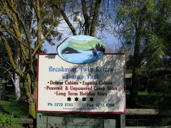
Breakaway Twin Rivers Caravan Park location map
, , , , , , , , , ,
At the Brentnalls Beach Camping Area, you will need to bring everything you need for your stay, and take away your rubbish with you when you leave. This is a real bush camp with fishing available from your doorstep.
Brentnalls Beach Camping Area location ...
Read More...
Brewarrina Rest Area
The Brewarrina Rest Area is a beautiful little spot down near the old lift span bridge in Brewarrina. There are lots of room for caravans and campers to set up camp at, but access could be boggy if rains. There are undercover picnic tables, a fitness gym, ...
Read More...
, , , , , ,
Brickmakers Beach Rest Area
The Brickmakers Beach Rest Area is a nice day rest area, with the beach only a short distance from the car park area. I believe it's a bit too rocky for fishing on the left hand side, but you are welcome to prove me wrong. My preference is over off the sa ...
Read More...
, , , , ,
Bridgetown Caravan Park
Entrance to the Bridgetown Caravan Park Bridgetown Caravan Park location amp
, , , , , ,
Bridgewater on Loddon Tourist Park
Entrance to the Bridgewater on Loddon Tourist Park Bridgewater on Loddon Tourist Park location map
, , , , , , , ,
The Bright Riverside Holiday Park is located on right the banks of the Ovens River, with plenty of poewed and unpowered sites with riverfront views, the only drawback is it close proximity to HT powerlines buzzing overhead.
Entrance to the Bright Riversi ...
Read More...
, , , , , , , ,
Brodies Camping Area has plenty of places to camp and it's for the kayak to be taken off the roof rack, and explore some of the lake, take your camera and fishing gear with you to capture that Giant Redfin. Brodies Corner Camping Area location map
The Bromus Dam Camping Area is a good place for a stop over, with public toilets, picnic tables, and fire pits and shady trees with heaps of room for caravans to park. For the fishermen, there is a dam not too far away with yabbies in it.
Entrance to the ...
Read More...
, ,
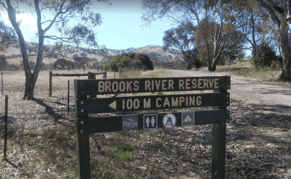
The Brooks River Reserve Camping Area can be dusty during the summer months and very quiet and peaceful, it's a lovely spot with a long drop toilet. It's a bit of a steep 200 metre walk down to the Goulburn River, but not bad one there.
Brooks River Rese ...
Read More...
Brooms Head Caravan Park
Entrance to the Brooms Head Caravan Park Brooms Head Caravan Park location map
, , , , , , ,
Bruces Beach Camping Area is another secluded rough bush camp with a nice waterfront view, from the campsite you choose. Bruce's Beach Camping Area location map
The Bruces Bend Camping Area has Non-flush toilets and picnic tables and a boat ramp all close to the Murray River. Bruces Bend Camping Area location map
The Buckland River Camping Area has plenty of fishing spots to choose from along it's banks, and for those with kayaks you will have a bit of fun also. There are a few camping areas along the Buckland River, it's best to Boil the River water before drinki ...
Read More...
Bummaroo Ford Campground
When stopping at the Bummaroo Ford Campground you can hike along the Abercrombie River, check out a few swimming holes and fishing spots, drop your kayak in and take a paddle along the river.
Generators are not permitted in this campground. Bring your ow ...
Read More...
Bunyip Hole Reserve Camping Area
The Bunyip Hole Reserve Camping Area is a bush camp on the banks of the Murrumbidgee River with plenty of shade and fishing opportunities to catch Yellowbelly and Murray Cod. Bunyip Hole Reserve Camping Area location map
Bunyip River Rest Area
The Bunyip River Rest Area Set back a short distance from the Princes Freeway, you can let the kids run without fear of them getting run over. Entrance to the Bunyip River Rest Area Bunyip River Rest Area location map
, , , , ,
The Burnt Bridge Camping Area is an amazing place, with easy access to the river, good for fishing. There are 2 separate drop toilets, one in the main area, and the other further down the towards the end of Burnt Bridge.
Most of the camping areas are of ...
Read More...
Burra Rock Nature Reserve Camping Area
The Burra Rock Nature Reserve Camping Area is a day use area with camping allowed. There are some picnic tables, fireplace and a public toilet, and at the base of the Burra Rock is a dam, once used to water the steam trains used for carrying wood back to ...
Read More...
, , ,
At the Burraga Dam Camping Area you can take a walk around, and you will find some old fish hatchery ponds, and a few other things of interest, so take your camera with you.
P.S. The Burraga Dam is a great place to catch a fish or two while your there. ...
Read More...
Burrill Lake Park Rest Area
Entrance to the Burrill Lake Park Rest Area Burrill Lake Park Rest Area location map
, , , , ,
Burrowye Camping Area
Burrowye Camping Area is a place to simply unwind and enjoy the sights of the Murray River flowing past. Entrance to the Burrowye Camping Area Burrowye Camping Area Location Map
, ,
The Bush Bay Camping Area, is another easy to miss turn from the main road to the camping area. Follow the dirt road to a T junction, then turn right to the camping area right on the ocean. This campsite is very close to the ocean, and is no longer a free ...
Read More...
, , ,
Bushy Parker Park Rest Area 48 Hour Limit
The Bushy Parker Park Rest Area has flushing public toilets and a blackwater dump point, water taps connected to town water, picnic tables, bbqs next to a beautiful creek. The local store and police station are just down the road. Understandably this is a ...
Read More...
, , , , , , ,
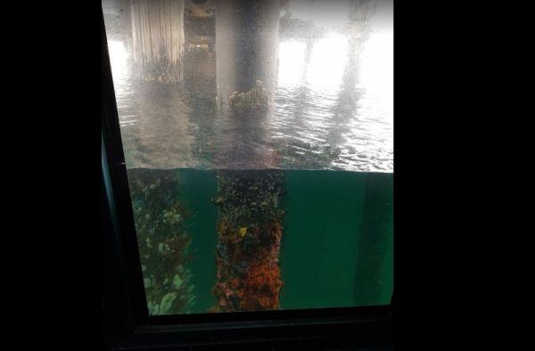
Entrance to the Busselton Underwater Observatory Busselton Underwater Observatory location map
,
Entrance to the Busselton Visitor Information Centre Busselton Visitor Information Centre location map
,
Buttercup Creek Camping Areas (Campgrounds 1-5) has 5 different campground locations, ranging from 2 to 20 suitable campsites in each. Plenty of 4x4 driving tracks to explore from your base camp, you can also checkout the numerous walking tracks in the ar ...
Read More...
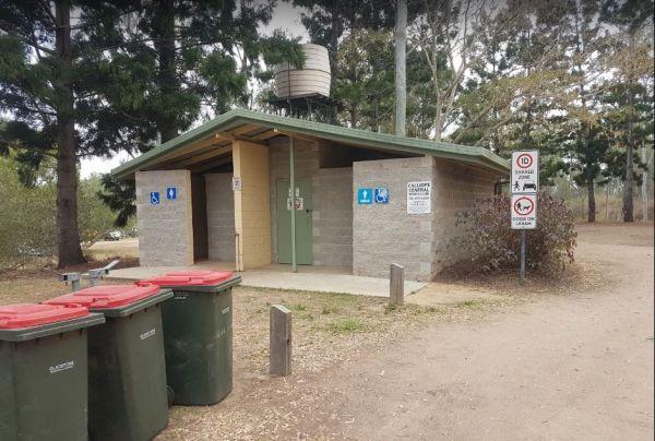
Calliope River Rest Area 48 Hour Limit
The Calliope River Rest Area has spacious camping areas on both sides, with the opportunity to sleep the night next to the Calliope River. There are public drop toilets, fireplaces and fishing and it is a popular spot to free camp.
Be Aware: Crocodiles a ...
Read More...
, , , , ,
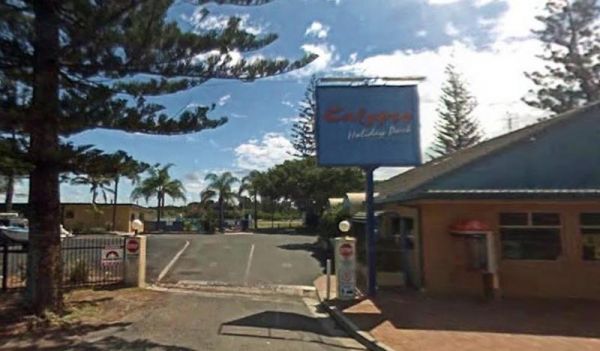
Entrance to the Calypso Holiday Park Calypso Holiday Park location map
, , , , ,
Campbell Town Lions Park Rest Area
The Campbell Town Lions Park Rest Area is a place to relax and take in the tranquil scenery, grab your kayak and g for a paddle, try your luck at catching dinner, grab your bikes and ride around town, all in all plenty to do here.
Entrance to the Campbel ...
Read More...
, , , ,
Campbells Reserve Camping Area
The Campbells Reserve Camping Area is a genuine bush camp where you bring and take everything with you, located on the banks of the Murrumbidgee River, fishing at your doorstep, and generally your on your own as these sites are hardly ever marked with cle ...
Read More...
The Canadian Gully Bushland Reserve Rest Area you might be lucky and catch a yabbie or two for the tucker bag. Entrance to the Canadian Gully Bushland Reserve Rest Area Canadian Gully Bushland Reserve Rest Area location map
, , ,
The Cane River Rest Area located on the banks of the Cane River, close to the road is level with no shade to park your caravan, but you can go inland a bit further away from the highway, for a bit more privacy. Managed by Parks and Wildlife - NO CAMPING P ...
Read More...
,
Cape Conran Coastal Park
The Cape Conran Coastal Park has lots of places to pop the tent up for a day or two. You will be kept fit if you walk down to the beach and back a few times. P.S. Make sure you remember where you enter the beach from, or better still, take a GPS fix befor ...
Read More...
, , ,
Cape Liptrap - Bear Gully
Cape Liptrap - Bear Gully Camping Area has a long drop toilet, lots of wildlife around, and you can sleep to the sound of waves crashing on the beach. Mostly rock beaches so not ideal for swimming, but there are some nice rock pools to explore.
There are ...
Read More...
, ,
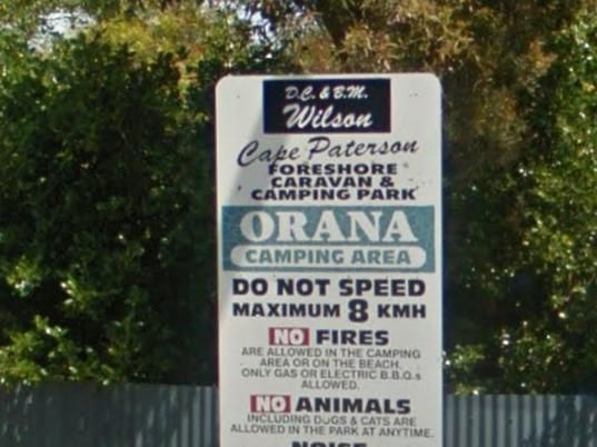
Cape Paterson Foreshore Caravan Park
Entrance to the Cape Paterson Foreshore Caravan Park Cape Paterson Foreshore Caravan Park location map
, , , , , , , , ,
The Carcoar Dam Water Reserve Camping Area has onsite power is supplied for Hair dryers and Shavers the outlets are in the Amenities Block.
Note: The available showers are not heated, so be forewarned if you intend to have a shower in the middle of winte ...
Read More...
, , ,
The Caroline Pool Rest Area, is a nice naturally formed water hole, so make sure you have your camera on hand to capture the wildlife at dusk coming to drink. The water level varies depending on drought conditions.
Turn off Duncan Road at GPS -18.240968, ...
Read More...
, , ,
Carrathool Bridge Camping Area
The Carrathool Bridge Camping Area is close to the historic Bridge which has a width restriction of 3.2 metres, so keep that in mind if you intended to cross it to the campsite on the north side of the bridge.
Entrance to the Carrathool Bridge Camping Ar ...
Read More...
The Casey Weir Rest Area is located on the Broken River set well back from the Midland Hwy and just a short walk to the Weir itself. Entrance to the Casey Weir Rest Area Casey Weir Rest Area location map
, , ,
The Casterton Park Rest Area is on the banks of the Glenelg River, and the Casterton Bridge is within easy walking distance. Entrance to the Casterton Park Rest Area Casterton Park Rest Area location map
, , ,
The Casuarina Sands Reserve is a really great place to swim in freshwater then have a bbq, and undercover picnic tables, then use the public toilets. This picnic area is located on the banks of the mighty Murrumbidgee River.
Entrance to the Casuarina San ...
Read More...
The Catamaran Campground and Boat Ramp, is great little spot for camping, boating, fishing and kayaking. There are quite a few nice spots to do an overnighter or two. A handy public toilet and a modern fishing platform for the little ones to try their luc ...
Read More...
, ,

Chaffe Creek Camping Ground
Chaffe Creek Camping Ground is a great campsite spread across 2 sections, there are long drop toilets and a few fireplaces. This camping area is a bit more open than a few others close to this location. You can also catch a fish dinner if you try hard eno ...
Read More...
Charlton Gordon Park has the Avocca River running alongside the park area To camp here your rig must have it's own toilet facilities, as you cannot use the park amenities. Entrance to the Charlton Gordon Park Charlton Gordon Park location map
The Cherrypool Park is next to the Glenelg River. with room to maneuver and places to park along this dirt road. You can try your hand at fishing or grab a camera and stretch your legs. If your in need of the toilets you have a around half a kilometer to ...
Read More...
, , ,
The Cherrypool Park Rest Area is next to Cherrypool waterhole on the Glenelg River It's a nice place to stop and have a picnic. Entrance to the Cherrypool Park Rest Area Entrance to the Cherrypool Rest Area
, , ,
At the Chinaman Creek Dam Recreation Park you should keep an eye open for freshwater crocodiles in the dam, take your kayak for a spin and a camera in case something pops up out of the water with big teeth, or try your hand at fishing.
NO CAMPING PERMITT ...
Read More...
, , , ,
Chinchilla Weir Camping Area
While at the Chinchilla Weir Camping Area you will enjoy hearing hardly any traffic noise, as the main camping area is set well away from the road. Approx 8 powered sites - donation can be made at tourist info centre for power. Drop the kayak and go for a ...
Read More...
, , , , ,
The Claude Wharton Weir Park is busy in the morning with locals taking a walk, nice boat ramp and plenty of opportunities to get your line wet, it's well worth a peek.
NO CAMPING PERMITTED
Entrance to the Claude Wharton Weir Park
Claude Wharton Weir ...
Read More...
, , , , ,
Cliff Head North Rest Area 72 Hour LImit
The Cliff Head North Rest Area as long as you are self sufficient this is a great place for you. There are three public toilets and undercover picnic tables and rubbish bins. There is plenty of turning area for big rigs. Shade from trees for your campsite ...
Read More...
, , ,
Cobbledicks Ford Reserve
The Cobbledicks Ford Reserve is a historic site with the river crossing at the Werribee River, it has bluestone pavers laid across it, and you can go for a walk along the tracks. This location is very close to Tarneit, Hoppers, Werribee and Wyndham Vale. ...
Read More...
, , ,
Cobrawonga Island Camping Area
Cobrawonga Island Camping Area location map
Cockburn River Camp Area the rivers water level can be anything from a bunch of pools to a trickle, so make sure you have brought sufficient drinking water with you, if you intend to stay a few days. Cockburn River Camp Area location map
, , , ,
The Cohuna Gateway to Gannawarra Visitor Centre backs onto the Gunbower Creek. Cohuna township is nicely set up for RV free camping in the town centre, its for fully self contained caravans and motorhomes only. There is a RV dump site opposite the caravan ...
Read More...
, , ,
Entrance to the Cohuna Waterfront Holiday Park Cohuna Waterfront Holiday Park location map
, , , , , , , , , , , , , , , , ,
Colac Colac Caravan Park
Entrance to the Colac Colac Caravan Park Colac Colac Caravan Park location map
, , , , , , , , , ,
Collendina Caravan Park
The Collendina Caravan Park is close to the beach, and has a full size basketball court and footy oval to keep the kids active. Entrance to the Collendina Caravan Park Collendina Caravan Park location map
, , , , , , , ,
Entrance to the Colombo Park Colombo Park location map
, , , , ,
Coochin Creek Camping Area
Coochin Creek Camping Area is a flat, grassy area beside Coochin Creek, ideal for visitors who enjoy fishing and boating and there is also a boat ramp available. Entrance to the Coochin Creek Camping Area Coochin Creek Camping Area location map
, , , , ,
Cooee Point Reserve toilets are a real ramshackle affair, well worth taking the camera just to show your friends how you had to rough it while camping. Entrance to the Cooee Point Reserve Cooee Point Reserve location map
, , , ,
Entrance to the Cooinda Campground & Caravan Park
, ,
Coonawarra Bush Holiday Park
Entrance to the Coonawarra Bush Holiday Park Coonawarra Bush Holiday Park location map
, , , , , , ,
Coongan Pool
The Coongan Pool is a lovely, peaceful place for camping and a great place for a swim or picnic. This are permanent water holes, this camping area has limited shade and no facilities, and is well away from the main road. Coongan Pool location map
, ,
The Cooper's Creek Rest Area offers plenty of spots to choose from, with time to drop the kayak in and wets its bottom while your there. Entrance to the Cooper's Creek Rest Area Cooper's Creek Rest Area location map
, , ,
Coopers Creek Reserve Campground
Coopers Creek Coopers Creek Reserve Campground location map
From the Coorong National Park Long Point Campground all water activities Fishing, Canoeing, bird watching or simply enjoy a long stroll along the beach.
Camping fees apply. Ticket at gate entrance A view of Long Point.
Coorong National Park Long Point ...
Read More...
Coorong National Park Parnka Point Campground location map
The Cooyar Swinging Bridge Park is set well back from the main road. If you need power, walk over to the Pub and grab the key for a small fee. Entrance to the Cooyar Swinging Bridge Park Cooyar Swinging Bridge Park location map
, , , , ,
The Coraki Riverside Caravan Park is close to shops and right on the Richmond river. Great for bike rides, fishing, kayaking, boats etc. There is also an off leash dog area
The Coraki Art Festival - October each year
Entrance to the Coraki Riverside ...
Read More...
, , , , , ,
Coronation Beach Campground
The Coronation Beach Campground is a lovely little spot with drop toilets, shower cubicles, covered eating areas, rubbish bins and a small playground. There is a protected beach with outer reef, fishing, diving and snorkelling are pretty good here.
This ...
Read More...
, , , , , , ,
Corunna Lake National Park Rest Area
The Corunna Lake National Park Rest Area is not suitable for big rigs, it gets a bit on the tight side if anyone else is already there. Entrance to the Corunna Lake National Park Rest Area Corunna Lake National Park Rest Area location map
, ,
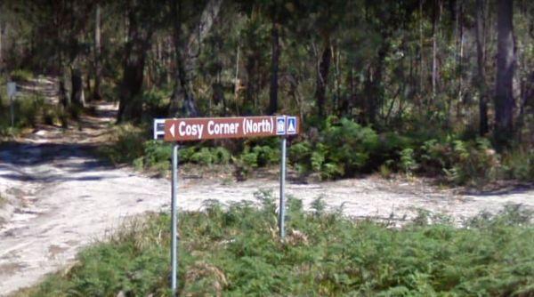
Cosy Corner North Campground
Cosy Corner North Campground is a beautiful camp next to the beach and some great fishing of the rocks, and stunning beach walks that the shell collectors amongst you will also be happy with. Plenty of room to park your caravan and drop toilets available ...
Read More...
, , ,
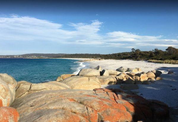
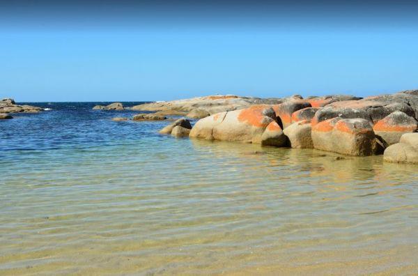
Cosy Corner South Campground
The Cosy Corner South Campground has a fantastic morning view of the Bay of Fires and is popular around School Holiday time, and you will see why, once you walk down to the white sand with orange lichen covered Granite Boulders strewn around. This campgro ...
Read More...
, , ,
The Cotter Campground is located on the banks of the Cotter River with access to fishing, swimming and quite a bit of wildlife including emus and kangaroos, and there are walking tracks available. This campsite has bbs, fireplaces, potable water, hot show ...
Read More...
Entrance to the Cowes Caravan Park Cowes Caravan Park location map
, , , , , , , ,
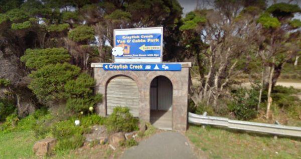
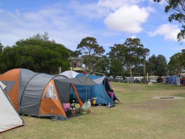
Crayfish Creek Van and Cabin Park
The Crayfish Creek Van and Cabin Park has good facilities and they have an after hour phone number available plus an on site manager 24 hours a day. Entrance to the Crayfish Creek Van and Cabin Park Crayfish Creek Van and Cabin Park location map
, , , , , , , , ,
CRB Camping Area
CRB Camping Area is close to the Cobungra River, so have a go at fishing or swimming, and for the more adventurous, grab your kayak and navigate upstream a bit. h3>CRB Camping Area location map
Crooked Creek Rest Area
The Crooked Creek Rest Area, the reek is clean & running, trails to meander along. Lots of birdlife and is a secluded and large area, with plenty of room to choose a campsite from, there are suitable areas for your solar panels to keep you going for a ...
Read More...
, , , ,
Entrance to the Currarong Beachside Holiday Park Currarong Beachside Holiday Park location map
, , , , , , , , , 
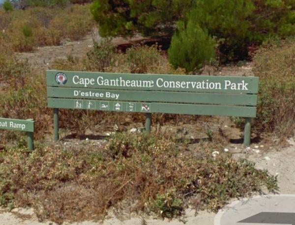
D'Estrees Bay Campground
Entrance to the D'Estrees Bay Campground D'Estrees Bay Campground location map
Dando's Camping Area
The Dando's Camping Area is well set up campsite with lots of camping areas and relatively easy access by car. The river is very close and easily accessible. There's 2 clean drop toilets, and some fire pits with bbq swing plates. The Dando's Camping Area ...
Read More...
The Dangar Falls Picnic Area has a great photographic opportunity in almost any direction, as long as you're pointing at the waterfall hahaha. It's easy walking along the boardwalk.
Entrance to the Dangar Falls Picnic Area
Dangar Falls Picnic Area loc ...
Read More...
, , , , , ,
Darbys Falls River Reserve Rest Area
Entrance to the Darbys Falls River Reserve Rest Area Darbys Falls River Reserve Rest Area location map
, , ,
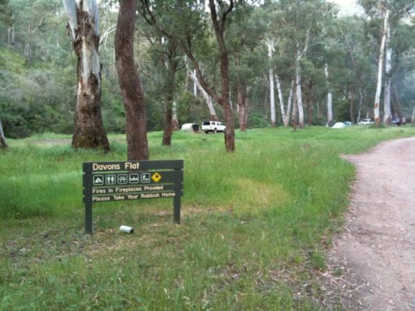
Davons Flat Camping Area
The Davons Flat Camping Area is a beautiful spot alongside the Howqua River and hugely popular. It is part of the Howqua Hills Historic area and just next door to Sheepyard Flats another very popular camping area. This area was used for gold mining, so if ...
Read More...
The De Grey River Rest Area is next to the river, with amazing pools of water along river. This is a very large and popular stopping place for caravanners, there are flushing public toilets with a black water dump point and some rubbish bins. You can take ...
Read More...
, , , ,
Dead Mans Point Rest Area
The Dead Mans Point Rest Area is for fishing and that’s about all there is to do at this location, unless you want to play with your kayak. Entrance to the Dead Mans Point Rest Area Dead Mans Point Rest Area location map
, , ,
The Delegate River Camping Area and is a beautiful little campground with approximately 6 suitable areas to camp at. There are fire pits with bbq plates, a long drop toilet. As the name suggests, this camping ground is next to the Delegate River, so don't ...
Read More...
Depot Beach Campground
Entrance to the Depot Beach Campground Depot Beach Campground location map
, , , ,
The Derby Park is set well back from the main road, with a river right next to your spot you have pulled over at. If you have a bike with you, ride over to Briseis Lake Entrance to the Derby Park Derby Park location map
, , , , , ,
Des Streckfuss Rest Area 24 Hour Limit
The Des Streckfuss Rest Area has public composting toilets, undercover picnic tables and bbq facilities. You can walk to the Gorge Creek, but the water levels will vary with the season, so it may or may not have any water in it, but take your camera anywa ...
Read More...
, , , ,
Entrance to the Diamond Head Campground Diamond Head Campground location map
, ,
The Diana's Basin Camping Area is another sandy beach within easy walking distance of your camp, you can try and catch a fish for supper. Entrance to the Diana's Basin Camping Area Diana's Basin Camping Area location map
, ,
Dicks Bend Camping Area
If going to the Dicks Bend Camping Area, you should bring everything you need to make life comfortable, and take away your rubbish when you leave. Dicks Bend Camping Area location map
Entrance to the Dimboola Riverside Caravan Park Dimboola Riverside Caravan Park location map
, , , , , , , ,
The Dogwood Creek Rest Area is just a short walk to the creek to drop a line in and try your luck, or Pop the Kayak in and take it for a quick explore of the area. Entrance to the Dogwood Creek Rest Area Dogwood Creek Rest Area location map
, , , , ,
Doolans Bend Camping Area
The Doolans Bend Camping Area has the Murray River at your doorstep, and all associated water activities at your pleasure are available here. Doolans Bend Camping Area Doolans Bend Camping Area location map
Doolena Gorge Camping Area
The Doolena Gorge Camping Area is a really nice place to visit for a day or two. Make sure you have your camera handy at all times. This campsite is approx 41 kilometres north of Marble Bar on the Marble Bar-Port Hedland Road. The turnoff is very easy to ...
Read More...
, ,
When stopping at the Drillham Rest Area that has parking spaces on both sides of the road, you can take a stroll along the banks of the creek, paddle your kayak or simply take a quick look around the small town.
Entrance to the Drillham Rest Area
Dril ...
Read More...
, , , ,
Dumaresq Dam Recreation Area
The Dumaresq Dam Recreation Area is a beautiful, peaceful, atmospheric place to be with plenty of room to park, a children's playground, fireplaces with bbq facilities, good fishing and a few picnic tables and rubbish bins. Just be careful, and check for ...
Read More...
, , , , , ,
Entrance to the Dunalley Hotel Camping Area Dunalley Hotel Camping Area location map
, , ,
The Dunham River Rest Area is a great spot for a short stopover, located on a large gravel area with some shady trees. There are public toilets with a black water dump point, undercover picnic tables and wood fired BBQ's. (Bring your own wood). Water leve ...
Read More...
, , , , ,
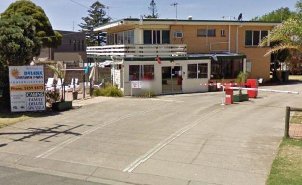
Dylene Caravan Park
Entrance to the Dylene Caravan Park Dylene Caravan Park location map
, , , , , , , , , , , ,
The Eadine Springs Rest Area is a good place to stop over for the night for motorhomes, caravans etc. There are some undercover picnic tables, wood fired bbqs, rubbish bins, and some shady trees to park under.
Entrance to the Eadine Springs Rest Area ...
Read More...
, , , , ,
The Eagle Bluff Campsite is an awesome spot to see sharks and turtles from the viewing platform on a sunny day. Get a permit from the discovery centre to camp the same night only Note: There are only 4 campsites sites available.
Entrance to the Eagle Blu ...
Read More...
Eagle Point Caravan Park
Entrance to the Eagle Point Caravan Park Eagle Point Caravan Park location map
, , , , , , , , ,
Entrance to the Edenhope Lakeside Tourist Park Edenhope Lakeside Tourist Park location map
, , , , , , , , , , , ,
At the Edi Turnoff Rest Area take your camera over to the bridge over the King River and grab a nice photo to remember this place by. Entrance to the Edi Turnoff Rest Area Edi Turnoff Rest Area Location Map
, , ,
From the Edward River Camping Area you can catch dinner from the Edward River or test your kayak skills, or simply take a dip in the water with your GoPro Camera. This is a very well set up place to camp. Edward River Camping Area location map
Ellenborough Reserve Camping Area 14 Day Limit
The Ellenborough Reserve Camping Area is a nice grassy area where the Hastings and Ellenborough Rivers meet.
It's a rather nice spot to spend a few hours or days simply relaxing.
Entrance to the Ellenborough Reserve Camping Area 14 Day Limit
Ellenbor ...
Read More...
The Ellendale Pool Camping Area is an excellent peaceful camp over well worth the stop, bitumen road for most of the way and approximately 1.3km dirt road. It's incredibly affordable and has flushing toilets a Gas bbq, Rubbish Bins a shaded seating area. ...
Read More...
, , , , , , ,
Ellis Bridge Rest Area 24 Hour Limit
Ellis Bridge Rest Area is on the banks of the Mitta Mitta River and it's a nice place to take your camera over to the bridge over the King River, and grab a nice photo to remember this place by.
Entrance to the Ellis Bridge Rest Area
Ellis Bridge Rest ...
Read More...
, ,
Emu Bight Camping Area - The Lakes National Park
Emu Bight Campground National Park you must bring your own drinking water, there are fireplaces and bbqs. Fires may only be lit in the fireplaces provided and Campers are required to bring their own firewood. Pop your kayak in tho the lake and enjoy the b ...
Read More...
, , ,
The Endrick River Crossing Rest Area is good for fishing with plenty of images waiting to be captured with your camera. Entrance to the Endrick River Crossing Rest Area Endrick River Crossing Rest Area location map
, ,
The English's Bridge Camping Area is a great campsite by the Campaspe River, with good swimming area near bridge boat ramp. There is plenty of level ground for RV's or caravans. It's best to be self contained if camping here as there are no amenities, and ...
Read More...
The Ensay South Rest Area is on the banks of the Tambo River you will pretty much get this place all to yourself. Entrance to the Ensay South Rest Area Ensay South Rest Area location map
, , ,
While visiting the Euroley Bridge Reserve Rest Area, you can drop the kayak into the Murrumbidgee River via the boat ramp, or fish from the banks and as always take your camera with you.
Entrance to the Euroley Bridge Reserve Rest Area
Euroley Bridge ...
Read More...
, ,
Everard Park Streamside Reserve
The Everard Park Streamside Reserve is located on both sides of the Maroondah Highway, and a great place to drop your kayak in for a quick explore of the area.
Entrance to the Everard Park Streamside Reserve
Everard Park Streamside Reserve location ma ...
Read More...
, ,
Entrance to the Finlays Beach Camping Area Finlays Beach Camping Area location map
To get to the Finley Beach Camping Area, turn onto an unnamed Dirt Road at GPS -35.821054,145.554872, Nice spot on the Murray River Entrance to the Finley Beach Camping Area Finley Beach Camping Area lcation map
The Finns Beach Campground has a public toilet, and a few secluded campsites, with a nice sandy beach close at hand, where you can enjoy nice sunsets or have a go at catching dinner.
Entrance to the Finns Beach Campground
Finns Beach Campground locati ...
Read More...
, , ,
Fishbone Flat Camping Area is a nice spot along the Arnold Creek, with a few fireplaces and no other facilities to grace this campsite. Fishbone Flat Camping Area location map
The Fishermans Rest Riverside Reserve is just out of Mitchell town, there is a public drop pit toilet, picnic tables and rubbish bins. There are plenty of shady spots to camp under, and it's only a short walk to the Maranoa River, so fishing and kayaking ...
Read More...
, , , ,
Fitzroy River Streamside Reserve Rest Area
The Fitzroy River Streamside Reserve Rest Area has a few spots to choose from along the Fitzroy River waterfront. Entrance to the Fitzroy River Streamside Reserve Rest Area Fitzroy River Streamside Reserve Rest Area location map
, ,
Flat Rock Camping Area is a nice spot with a decent amount of wildlife. Watch out for wallabies, roos and wombats on the side of the road if driving In the evening or night. Great campsite with lots of camping space to base yourself and go exploring from ...
Read More...
The Forbes Apex Riverside Park is a huge level camping ground located adjacent the old bridge and is very inexpensive with toilets, potable water and under cover areas right on the river. You can enjoy fishing and kayaking, but be prepared for a few neigh ...
Read More...
, , , ,
The Forbes Taylor Underpass Rest Area is is next to Lake Forbes with a public toilet and plenty of places to park with water views, it is a Short term Rest Area, while your there pop over to the Lions Park next door and checkout some of the Old Machinery ...
Read More...
, , , ,
Forges Beach No 1
Forges Beach No 1 can accommodate large vans, and provides excellent camping right on the Murray River. This campsite is a safe place for the kids to swim and is very popular during public holidays. There are long drop toilets at the campground.
Forges B ...
Read More...
Forges Beach No 2 Forges Beach No 2 Location Map
, , ,
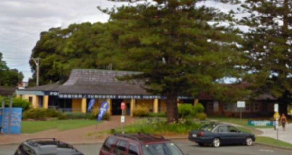
Entrance to the Forster Visitor Information Centre Forster Visitor Information Centre location map
, ,
Four Mile Reserve Camping Area
The Four Mile Reserve Camping Area is a great spot on the Barwon River, with flushing toilets, cold water showers and bbqs. This is a large campground with plenty of flat spots to park your caravan. There is a Jetty and a Boat Ramp, for those who like fis ...
Read More...
Franklinford Streamside Reserve
The Franklinford Streamside Reserve, is best suited to vehicle based camping or small camper trailers etc. This is a small Nature preserve that has mobile phone coverage and a fireplace on the banks of the Jim Crow Creek.
Map of the Franklinford Streamsi ...
Read More...
, , ,
The Frankston Visitor centre is next to an Award winning beach, located on Port Phillip Bay, and the Frankston pier is within easy walking distance for those who like fishing.Be sure to check out the locally made gifts and Souvenirs while your in the Fran ...
Read More...
, , , , ,
Freds Landing Rest Area
From the Freds Landing Rest Area you can launch your Kayak and go for a paddle up or down the Murray River, or try your hand at catching dinner. Entrance to the Freds Landing Rest Area Freds Landing Rest Area location map
The Frenchmans Creek Camping Area is a really nice peaceful and quiet camping ground next to the Big River for fishing. There are lots of tracks to explore and heaps of spots to camp and the campsites are better suited to vehicle based camping rather than ...
Read More...
Froam Campground
Froam Campground is a small camping and picnic area on the banks of the Freestone Creek. Visitors can gain access to Blue Pool via the Freestone Creek Walking Track, here you will find a nice swimming hole. Additional campsites are located further along F ...
Read More...
, ,
Frys Flat Camping Area
Frys Flat Camping Area is a picturesque campsite with a long drop toilet, and fire pits with the Howqua Hills Historic Walk on your doorstep and it will take you around 1 1/2 hours to complete. The king parrots and kookaburras are overly friendly, so watc ...
Read More...
The Futter Creek Camping Reserve is on level ground is small, beautiful and quiet, and simply perfect for a few nights camping. There are long drop toilets, picnic tables and rubbish bins. The creek offers some fishing and photo opportunities. There is al ...
Read More...
, , ,
The Galena Bridge Rest Area is a beautiful bush camping spot for overnight stop with plenty of room on both sides of the river to find a quiet spot. There are quite a few long drop public toilets with black water dump point, picnic tables and rubbish bins ...
Read More...
, , , , ,
The Gang Gang Gully Camping Area has no rubbish bins onsite, you should take your rubbish home with you. If you want to light a fire, gather only dead wood and don't cut down any trees. Gang Gang Gully Camping Area location map
Geehi Flats Camping Area is a beautiful riverside campsite with public toilets, fire places, shelter and loads of space, and the campground is accessible with a 2WD vehicle if you drive through the Geehi rest area. This is a great spot to camp plenty of r ...
Read More...
The Genoa Rest Area has a General store just over the footbridge, so you can stock up your larders, and access to a public phone box if needed. Entrance to the Genoa Rest Area Genoa Rest Area location map
, , , ,
The Geo Spencer Memorial Rest Area has a 48 Hour Limit for stopovers. There are a few level places to park your caravan under shady trees. Here you will find flushing toilets, an undercover BBQ and some picnic tables and rubbish bins.
Entrance to the Geo ...
Read More...
, , , , ,
Entrance to the Geraldton Visitor Information Centre Geraldton Visitor Information Centre location map
, ,
Glasshouse Camping Area
The Glasshouse Camping Area is a nice free camp with no amenities. Grab your camera and capture what you see. P.S. No Camping is permitted closer than 50 meters to the water.
Entrance to the Glasshouse Camping Area
Glasshouse Camping Area location map ...
Read More...
,
Glebe Weir
At the Glebe Weir they hold a Fishing comp on the June long weekend. this is a low cost camp site. There is asphalt all the way to the weir, and plenty of space once you get there.
BRING Your own water and wood for your fireplace plus a long power leads. ...
Read More...
, , , , , ,
Glen Davis Camping Area
The Glen Davis Camping Area is a great camping spot, stunning scenery and close to hiking trails and a river. Basic camping toilets, fire pits, children's playground, undercover picnic tables, bbqs and hot showers, and lots of native wildlife around the c ...
Read More...
, , , ,
The Glenriddle Recreation Reserve Camp Area is a large area with plenty of places to choose your campsite,. There is an undercover picnic table, a public toilet and a few rubbish bins. The Manilla River is close by for those eager fishermen amongst you, a ...
Read More...
, , , , , ,
Glendinning Camping Area has plenty of space for you to find that perfect spot to setup camp. There are long drop toilets, views of grampians, and good fishing spots. Entrance to Glendinning Camping Area Glendinning Camping Area Location Map
, , , ,
Entrance to the Glenelg River Rest Area Glenelg River Rest Area location map
Glenriddle Rec Reserve Camp Area is a great free camping ground beside Manilla River on the upper limits of Split Rock dam. This is a huge area suitable for all types of camping - caravans, campervans, mobile homes, tents, and there is a boat ramp. There ...
Read More...
, , , , , ,
Gloryvale Reserve Camping Area is a great spot for a weekend or overnight just to get away. Reasonably level ground for your caravan with concrete fire pit bbq, long drop toilet, and picnic tables. There are fish and yabbies in the Manning River that runs ...
Read More...
, , , , ,
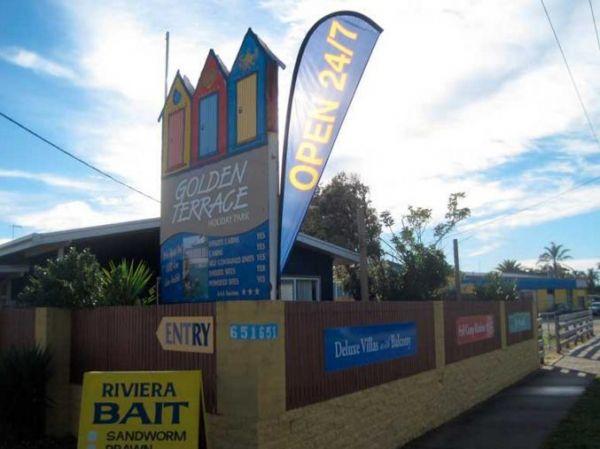
Golden Terrace Caravan Park
Entrance to the Golden Terrace Caravan Park Golden Terrace Caravan Park location map
, , , , , , , ,
GoLightly Park Caravan & Camping
Entrance to the GoLightly Park Caravan & Camping GoLightly Park Caravan & Camping location map
, , ,
This site has flushing toilets, there is a water tank but make sure you boil the water first. A nice grassy area for you to set up camp and the beach nearby for sightseeing and fishing.
Entrance to the Gordon Foreshore Reserve Camping Area
Gordon Fore ...
Read More...
, , , ,
Gordonvale Rest Area
From the Gordonvale Rest Area you can take a walk along the banks of the small creek that runs into the Mulgrave River or be more adventurous and drop the kayak in. Entrance to the Gordonvale Rest Area Gordonvale Rest Area location map
, , , , ,
Goughs Bay Caravan Park
Goughs Bay Caravan Park location map
, , , , , , ,
The Goulburn River Rest Area is a place to take a break from driving and maybe catch a fish for dinner. It's a nice spot to have a rest, and take a few photos while exploring the Goulburn River.
Entrance to the Goulburn River Rest Area
Goulburn River ...
Read More...
, ,
Entrance to the Granite Creek Rest Area Granite Creek Rest Area location map
, , , , ,
The Grannys Flat Camping Area has a few 4x4's tracks to check out. There are no built fireplaces at this site, so please use a previous campfire site and clean up afterwards. This is a nice place on the Jamerson River, for those of you who enjoy fishing e ...
Read More...
The Granthams Bend Camping Area is close to town, you only need to simply cross the bridge over the Murray River into N.S.W. This campsite is a rough Bush camp, where you need to bring everything you need, and take your rubbish with you when you leave.
E ...
Read More...
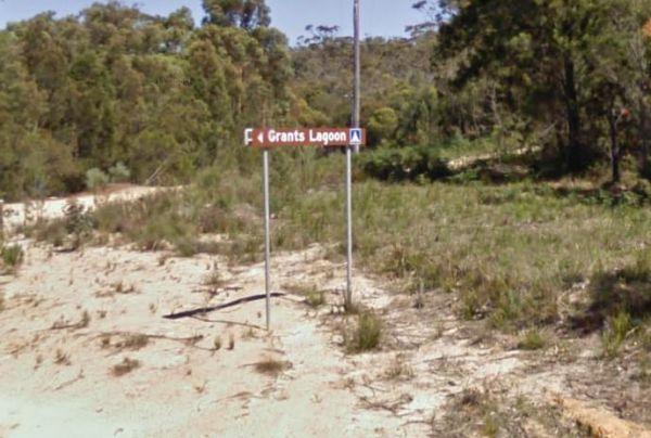
Grants Lagoon Camping Area 30 Day Limit
Grants Lagoon Camping Area is a nice Bush camp with some drop toilets inside the Bay of Fires Conservation Area, with a boat ramp if you need it, plus it's a nice kayaking area as well.
Entrance to the Grants Lagoon Camping Area
Grants Lagoon Camping ...
Read More...
, ,
Grantville - Picnic BBQ Area
Entrance to the Grantville - Picnic BBQ Area Grantville - Picnic BBQ Area location map
, , , , ,
At the Green Hill Lake Camping Area, you can stay for 4-5 days and a permit is need for longer stays. free hot showers and a good toilet facility, bbq, fire pits, a children's playground and lots of rubbish bins. You can swim,kayak and explore the islands ...
Read More...
, , , , , , , ,
Greens Lake Regional Park Camping Area has plenty of camp spaces, power, toilets and showers and fire pits provided and it's right on the lake with safe swimming for kids.
Entrance to the Greens Lake Regional Park Camping Area
Greens Lake Regional Par ...
Read More...
, , ,
When visiting the Greens Point Camping Area you can pop over to the historic old township of Sofala, it's well worth the short drive from your campsite. Greens Point Camping Area location map
Gulpa Island Precinct Camping Area has plenty of places to pull over and enjoy the scenery.
You might want to check this location first before committing to taking a large caravan in, as the road can be a bit difficult in places.
Gulpa Island Precinct C ...
Read More...
Gum Bend Lake Camping Area 14 Day Limit
The Gum Bend Lake Camping Area has hot showers, rubbish bins, undercover picnic tables and bbqs with plenty of camping places to pick from, fishing, photographic opportunities everywhere and it's about 5km from the town of Condobolin in Central NSW. The G ...
Read More...
, , , , , , , ,
The Gunbower Park Rest Area is on the banks of the Gunbower Creek.So why not take a stroll and check it out, or drop your kayak in for a better look.There is a children's playground right next to the toilets to keep the kids amused.
Entrance to the Gunbo ...
Read More...
, , , , , ,
At the Gunbower State Forest Camping Area has lots of camping spots and very clean and tidy, with long drop toilets, you can take caravans in, the tracks are a bit rough in spots, but passable, and you will be rewarded with a good campsite next to the Mur ...
Read More...
, , , ,
Guttram State Forest Camping Area
The Guttram State Forest Camping Area is on the banks of the Murray River with all water activities at your doorstep. It's a bit on the bumpy side to get their so take care. Guttram State Forest Camping Area location map
The Gwydir River Camping Area is very relaxing and peaceful, with large open areas to park your caravan for a few days, and the Gwydir River at your doorstep asking to be explored. There is an introduced plant you need to keep an eye open for, it's the ti ...
Read More...
The Hadspen Lions Park Reserve Area is a nice open area with boat ramp, and is a lovely spot for a bbq and picnic. This is a great park on the banks of the South Esk River, with playground and off lead dog area.
Entrance to the Hadspen Lions Park Reserve ...
Read More...
, , , , , , ,
The Hamilton Rest Area is opposite the Bicentennial Park, is a beautiful place with apple and pear trees, public toilet and showers, laundry, dump point and potable water. where you'll find a public toilet, undercover picnic tables and rubbish bins. Or yo ...
Read More...
, , , , , , , ,
The Hann River Camping Area may look idyllic, but it's good practice to make sure you have plenty of water and supplies when travelling in outback Australia. This campsite is set back a short distance from the Gibb River Road, a few trees for shade and no ...
Read More...
, ,
Happy Valley Landing Camping Area
To get to the camping spots follow Happy Valley Landing Road, you have another 1/2 Kilometre of dirt road to go after the asphalt ends to get to this spot on the Murray River.
Entrance to the Happy Valley Landing Camping Area
Happy Valley Landing Camp ...
Read More...
, ,
The Hattah-Kulkyne National Park Camping Area has lovely walks through the Mallee with plenty of bird life and gorgeous flora. It's a semi-desert national park, and very flat with lots of Emus, Kangaroos, Possums etc. There are a a few separate Camping ar ...
Read More...
The Haythorpe Reserve Camping Area has plenty of places to choose from, and you are right on the banks of the Murray River. Entrance to the Haythorpe Reserve Camping Area Haythorpe Reserve Camping Area location map
The Hellyer Gorge Rest Area is a lovely spot to stop if you're heading through to Cradle Mountain or Waratah, with beautiful walks through the myrtle rainforest down to the Hellyer River.
Entrance to the Hellyer Gorge Rest Area
Hellyer Gorge Rest Area ...
Read More...
, , , , ,
The Henry Angel Flat Camping Area is a nice spot to enjoy a week or two, fishing swimming photography and short walks all on your doorstep. Entrance to the Henry Angel Flat Camping Area Henry Angel Flat Camping Area location map
, , , , , , ,
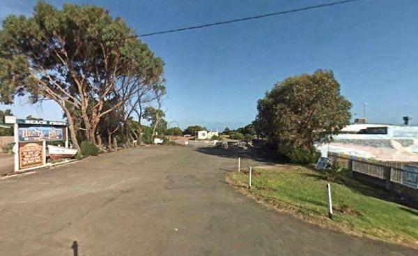
Entrance to the Henty Bay Beach Front Van & Cabin Park Henty Bay Beach Front Van & Cabin Park location map
, , , , , , , , , , , , ,
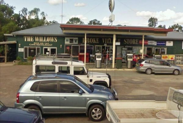
At the Herbert Reserve Rest Area you can take a short stroll into town and hang a right at Paynes Crossing Rd to go to the Broke Village Store and grab a bite to eat. (GPS -32.75062,151.10358)
Entrance to the Herbert Reserve Rest Area
Herbert Reserve ...
Read More...
, , ,
Heritage Park
Heritage Park location map
, , ,
Heron Bend Camping Area
At the Heron Bend Camping Area you can pop into the pub while your there, and check out the conditions before you head down the dirt road.
Note: Dogs must under owners control at all times.
Entrance to the Heron Bend Camping Area
Heron Bend Camping A ...
Read More...
Hettner Landing Camping Area
When stopping at the Hettner Landing Camping Area you can pop into the Walker Flat General Store and stock up on food, drinks, and fuel, before popping into this camp site. GPS for store: -34.752985, 139.557238 You will find rock rings for fires & tab ...
Read More...
Hickeys Falls Rest Area has a beautiful waterfall close to the highway and plenty of parking with picnic tables and rubbish bins. It takes roughly two minutes to walk to the falls, and there is a pool at the bottom of it.
Entrance to the Hickeys Falls Re ...
Read More...
, ,
Hiscocks Crossing Camping Area is situated on the Banks of the Crawford River, with camping permitted only at Hiscocks Crossing, where the public toilets are provided. This is 4x4 country Hiscocks Crossing Camping Area Location Map
, , ,
The Hobart Beach campground has drop toilets, hot showers, wood fired bbq on each campsite. Close to lake and beach, with lots of wildlife, including goannas, wallabies, echidnas and possums.
For the fishermen, you can catch prawns at night
Note: The pa ...
Read More...
, , , , ,
The Hogwash Bend Conservation Park is a great place to drop the kayak into the Murray River and paddle upstream a bit, or sit on the large sandy beach and try your luck at catching dinner.
Entrance to the Hogwash Bend Conservation Park
Hogwash Bend Co ...
Read More...
The Holder Bend Reserve and Boat Ramp has a nice concrete boat ramp to pop your kayak into the Murray River and remember to take your camera with you. Entrance to the Holder Bend Reserve and Boat Ramp Holder Bend Reserve and Boat Ramp location map
The Horseshoe Bend Camping Area has one long drop toilet, and lots of level ground to park your caravan next to the Murray River. This campsite is good for boating, skiing, and fishing or just plain relaxing. Plenty of spots along the Murray and not too f ...
Read More...
The Horseyard Flat Camping Area has a nice and the stunning walk to the Falls and gorge. There are lots of 4x4 tracks to explore, the lower campgrounds back right onto the Moroka River. Horseyard Flat Camping Area location map
Entrance to the Horsham Riverside Caravan Park Horsham Riverside Caravan Park location map
, , , , , , , , , , ,
The Hotspur Bridge has a few good fishing spots, and it's on the banks of the Crawford River, with plenty of room to turn around. Bear in mind this place can get very boggy if it rains. Entrance to the Hotspur Bridge Hotspur Bridge location map
, ,
Howitt Park
Entrance to the Howitt Park Howitt Park location map
, , , , ,
The Howlong Lions Park Rest Area is not a bad spot on the Murray River. There are public toilets, picnic tables, bbqs, and rubbish bins with a lot of level ground to park your caravan, and gum trees for shade.
NOTE: No Camping Allowed
Pop over to the Tr ...
Read More...
, , , , , ,
Humbug Point Nature Recreation Area
The Humbug Point Nature Recreation Area is close to a beach with fine white sand and a turquoise ocean with brightly coloured red lichen covered rocks. There are a few spots to pull over every now and then along the main road. This spot is not suitable fo ...
Read More...
, , ,
The Humes Crossing Camping Area is a beautiful spot! There are long drop toilets, wood fireplaces with bbq facilities, and picnic tables, but it's best to bring levelling blocks for your caravan if you intend to camp here. This campground is just a short ...
Read More...
, , , ,
Entrance to the Huntly Lions Park Rest Area Huntly Lions Park Rest Area location map
, , , ,
The Hunts Bridge Camping Area has plenty of space and shade next to the Moorabool River West Branch with a deep water hole for good swimming. It's recommended to get there early, as the best camping spots go fast.
Entrance to the Hunts Bridge Camping Are ...
Read More...
Entrance to the Huskisson White Sands Holiday Park Huskisson White Sands Holiday Park location map
, , , , , , , , ,
Entrance to the Hynes Reserve - Water Reserve Camping Area Hynes Reserve - Water Reserve Camping Area location map
, ,
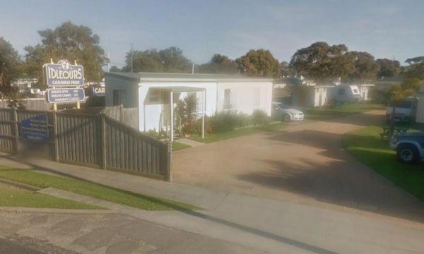
Idleours Caravan Park
Entrance to the Idleours Caravan Park Idleours Caravan Park location map
, , , , , , ,
At the Illilawa River Reserve Rest Area you can drop your Kayak in the Murrumbidgee River and go for a short paddle or drop a line in and try and catch dinner. This is quite a large off road site with plenty of opportunities to park.
Entrance to the Illi ...
Read More...
, , ,
Entrance to the Iluka on Freycinet Holiday Park Big4 Iluka on Freycinet Holiday Park Big4 location map
, ,  , , , , , , , ,
Indented Head Bellarine Bayside Holiday Parks
Entrance to the Indented Head Bellarine Bayside Holiday Parks Indented Head Bellarine Bayside Holiday Parks location map
, , , , , , , ,
Indi Bridge Reserve Camping Area
The Indi Bridge Reserve Camping Area is an absolutely awesome campground with a long drop toilet. This is a nice place for fishing, relaxing and the occasional photograph of the one that got away.
Note: There is an irrigation pump that starts up in dry p ...
Read More...
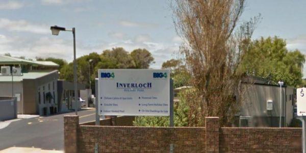
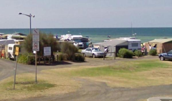
Entrance to the Inverloch Holiday Park BIG4 Inverloch Holiday Park BIG4 location map
, , , , , , , , , , , , , , , ,
Italian Flat is a large flat campsite, with one toilet located on the banks of the Upper Dargo River. You will find a couple of small shallow swimming holes on the river and this camp is only 10 min from Dargo. Italian Flat Campground location map
, , , , ,
James Camping Area is quite close to the Moonee Creek is quite close to this spot. There are fire pits with swinging hot plate and long drop toilets with plenty of shade to park. James Camping Area Location Map
, , , ,
The James King Park is just a short walk to the Murray River, there is a boat ramp plus parking this spot gets rather busy on weekends. Entrance to the James King Park James King Park location map
, , , , ,
James Norman Hedges Park Rest Area
Entrance to the James Norman Hedges Park Rest Area James Norman Hedges Park Rest Area location map
, , , , , , ,
The James Price Point Camping Area has four cliff top campsites, there are some fireplaces and cliff top view of the open ocean. Access to the beach is via 4x4 and can be a bit tricky, it has also been reported that getting off the beach can be a bit diff ...
Read More...
, ,
Entrance to the the Jamieson Caravan Park.
, , , , , , , , ,
The Jane Duff Highway Park Rest Area has a historical marker dedicated to Jane Duff, one of three Duff children who in 1864 that was found by an Aboriginal tracker, after being lost for nine days in the bush.
There is also a small lake nearby if you fanc ...
Read More...
, , , ,
Entrance to the JC Stretch Memorial Park Rest Area JC Stretch Memorial Park Rest Area location map
, , , ,
Entrance to the Jervis Bay Caravan Park Jervis Bay Caravan Park location map
, , , , , , , , ,
Jessie Kennedy Reserve Rest Area
The Jessie Kennedy Reserve Rest Area is not the most quietest of places to rest at with the Midland Hwy running past. Entrance to the Jessie Kennedy Reserve Rest Area Jessie Kennedy Reserve Rest Area location map
, , ,
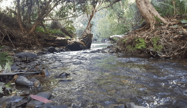
The Jimmy Bullocks Camping Area is close to the Big River that flows around a bend, giving you plenty of river to explore, without walking too far from your tent. Jimmy Bullocks Camping Area location map
Jingellic Reserve Camping Area is a beautiful spot right on the Murray River, free camp, with gumtrees offering shade and quite a few spots to camp at there are some rubbish bins, the toilets and showers are available at the back of the pub across the roa ...
Read More...
Entrance to the Johanna Beach Camping Area Johanna Beach Camping Area location map
, ,
Jokers Flat Camping Area
The Jokers Flat Camping Area is a nice campground next to the Big River, time to take the kayak off the roof and dip it in some water. Entrance to the Jokers Flat Camping Area Jokers Flat Camping Area location map
Jonah Bay Campsite
The Jonah Bay Campsite has pit toilets, and plenty of room to park your caravan close to Arthurs Lake. It's a bush camp with plenty of gumtrees, and this campsite has some excellent fishing spots, with access to sheltered shorelines and shallow weedy bays ...
Read More...
, ,
The Jones Camping Area has a public toilet, and some fireplaces, and is located next to the Holland Creek, so fishing for trout is a possibility, and there are plenty of photographs waiting to be taken here. Jones Camping Area location map
The Jounama Creek Camping Area, has plenty of riverbank areas for camping on with your caravan. There is a long drop toilet, fire pits and the Jounama Creek has crystal clear water, with Rainbow and Brown Trout waiting to be caught. You will also see cock ...
Read More...
The Joyce Pearce Memorial Park, is just on the edge of Sofalla you should take the time to walk through the Historic town of Sofala. Grab a bite to eat from one of the cafés or checkout the museum. If that doesn't tickle your fancy drop a line in the Turo ...
Read More...
, , , ,
Kangaroo Flat Park Area
Entrance to the Kangaroo Flat Park Area Kangaroo Flat Park Area location map
, , , , , ,
Kangaroo Valley Tourist Park
Entrance to the Kangaroo Valley Tourist Park Kangaroo Valley Tourist Park location map
, , , , , , ,  , , , , ,
Karalee Rocks Camping Area 72 Hou Limit
The Karalee Rocks Camping Area is a nice place to stay, there is a flushing toilet and an RV black water dump point, picnic tables and fire pits. You can swim in the dam, or catch a feed of yabbies. The camping area has lots of shade to park your caravan. ...
Read More...
, , , , , ,
Entrance to the Kelso Sands Holiday Park Big4 Kelso Sands Holiday Park Big4 location map
, , , , , , , , , , ,
Kennedys Reserve
The Kennedys Reserve is next the Murray River with plenty of campsite opportunities. You can drop your kayak into the river and go for a paddle, or try out some riverbank fishing, or simply kick back and relax.
Entrance to the Kennedys Reserve
Kennedy ...
Read More...
,
Kentish Park Camping Area - Permanetly Closed
NOTE: Kentish Campground has Permanently closed, there are no longer toilet facilities at this site. Parks & Wildlife Tasmania have taken over.
The Kentish Park Camping Area has a boat ramp is located just below the toilet block area, there are plent ...
Read More...
, , , , ,
Entrance to the the Kergunyah Caravan Park.
, , , , , ,
The Kilgowlah Creek Rest Area is an oval shaped parking area that might not be suitable for large caravans especially if someone else is already there. You can take a short walk to the banks of the Keajura Creek, its roughly 100 metres along the path, rub ...
Read More...
, , ,
The King Hut Camping Area has the King River close at hand, for the Trout fishermen out there. A normal 2wd car can get here in the drier months. King Hut Camping Area King Hut Camping Area location map
King Parrot Creek Rest Area
The King Parrot Creek Rest Area with the King Parrot Creek is on your doorstep and is set back away from the Goulburn Valley Highway. It's not a bad place to take a break from diving and do a bit of relaxation.
Entrance to the King Parrot Creek Rest Area ...
Read More...
, ,
King Street Oval Rest Area 24 Hour Limit
Entrance to the King Street Oval Rest Area King Street Oval Rest Area location map
, , , , ,
The Knockwood Reserve Camping Area is a good spot to blow the dust off your kayak and do some exploring. The campground is situated on the banks of the Gaffneys Creek, with plenty of grassy campsites to choose from.
Entrance to the Knockwood Reserve Camp ...
Read More...
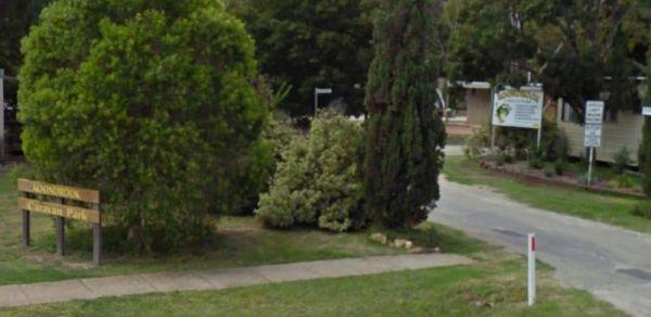
Entrance to the Koondrook Caravan Park Koondrook Caravan Park location map
, , , , , , , , ,
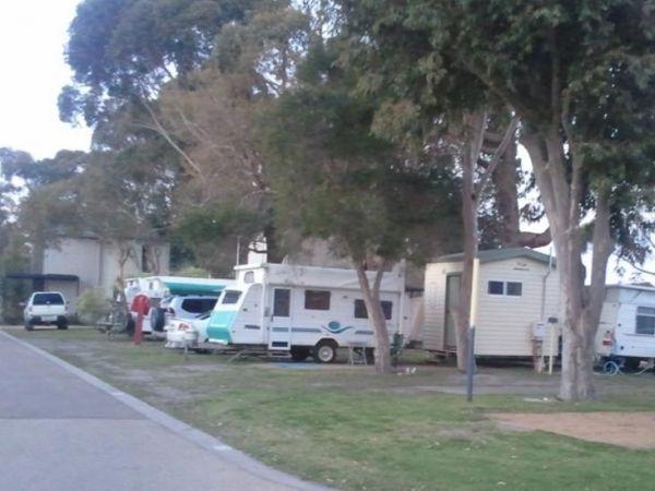
Koonwarra Family Holiday Park
Entrance to the Koonwarra Family Holiday Park Koonwarra Family Holiday Park location map
, , , , , , , , , , , ,
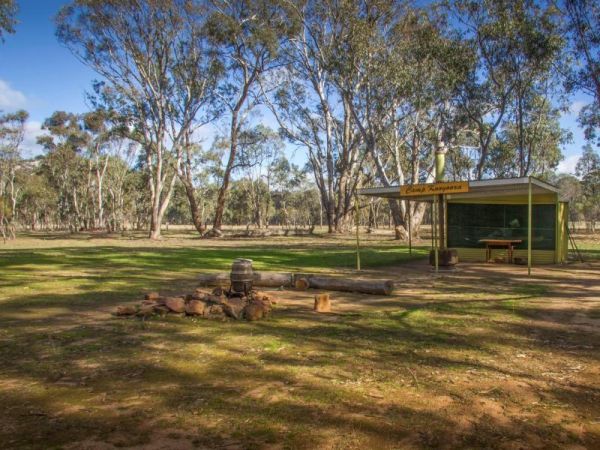
Kooyoora Park Retreat has pet friendly camping and it's only 15 minutes from the Melville Caves with magnificent views of Mt Kooyoora. Camping with all the features of an outdoor kitchen, large fire pit, 80 acres of beautiful private bushland plus thousan ...
Read More...
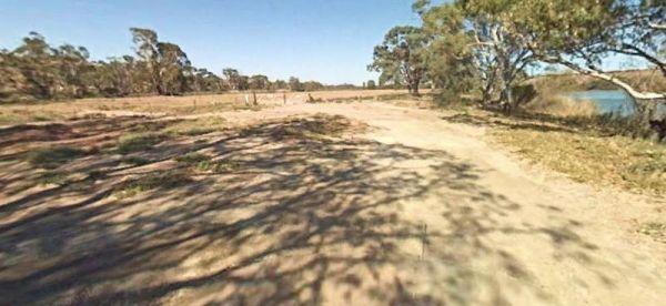
Kroehns Landing
Kroehns Landing is on the banks of the Murray River and a bit on the bumpy side of things, when trying to find level ground. Entrance to the Kroehns Landing Kroehns Landing location map
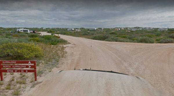
The Kurrajong (Cape Range) Campground is a beautiful campground on the Ningaloo Coast World Heritage Area, at Cape Range NP. There are drop toilets and some shaded benches.
You must book in advance if you intend to stay here. You can stay a maximum of 28 ...
Read More...
,
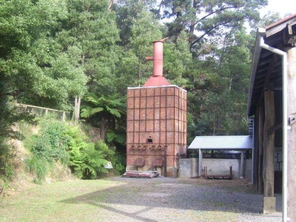
The Kurth Kiln Picnic and Camping Ground is a place for you to chill and relax, walk around the nature along one of the walking tracks found here. There are plenty of good flat spots to pitch tents. this is a lovely little spot close to Melbourne, with go ...
Read More...
Entrance to the Kyabram Western Gums Tourist Park Kyabram Western Gums Tourist Park location map
, , , , , , , , , , ,
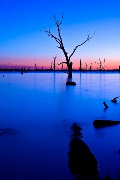
Kyffins Reserve Camping Area is a great place to unwind, and use your kayak for a paddle around, or fishing for Yellow Belly and Murray Cod. From your campsite you will get to see lots of birdlife and great views of Lake Mulwala. You're going to be spoilt ...
Read More...
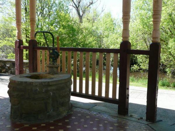
If stopping at the Kyneton Mineral Springs Rest Area, why not grab some fresh Mineral Water direct from the old hand pump and with the Campaspe River is next to the car-park, it's a nice place for a rest.
Entrance to the Kyneton Mineral Springs Rest Area ...
Read More...
, , , ,
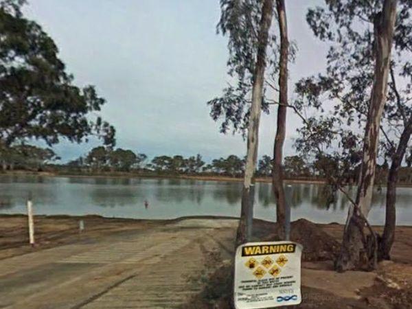
Laanecoorie Lakeside Park
Entrance to the Laanecoorie Lakeside Park Laanecoorie Lakeside Park location map
, , , , , , , , , , , , ,
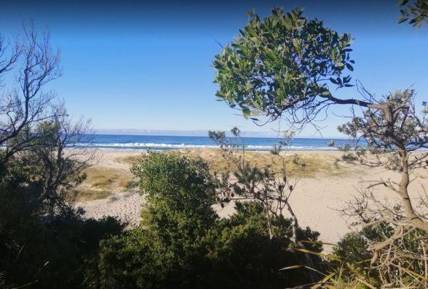
Lagoons Beach Camping Area
The Lagoons Beach Camping Area is a safe place for a paddle for the kids, fishing over on the main beach. There are multiple campsites ranging from quite open to secluded in this popular location. There are long drop toilets, beautiful shells to be found ...
Read More...
, , ,
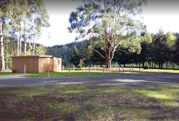
At Lake Barrington Camping Area you can pick your spot from a large grassed area surrounded by large trees. Walk down to the boat ramp and enjoy the scenic view over the lake, or drop a line in and see if there biting today.
Entrance to the Lake Barringt ...
Read More...
, , , , , ,
Lake Boga Caravan Park Entrance to the Lake Boga Caravan Park Lake Boga Caravan Park location map
, , , , , , , ,
Lake Bolac East Beach Camping Area
Lake Bolac East Beach Camping Area location map
, , , ,
Entrance to the Lake Bonney Rest Area Lake Bonney Rest Area location map
, ,
Lake Borumba Camping Grounds
Lake Borumba campgrounds are tidy and clean amenities, hot showers, kitchen and toilet.Activities include beach volleyball playground, table tennis located next to the Yabba Creek is a nice quiet place to visit for a few days, Plenty of Shade, and Grassy ...
Read More...
, , , , ,  , , ,
, , ,
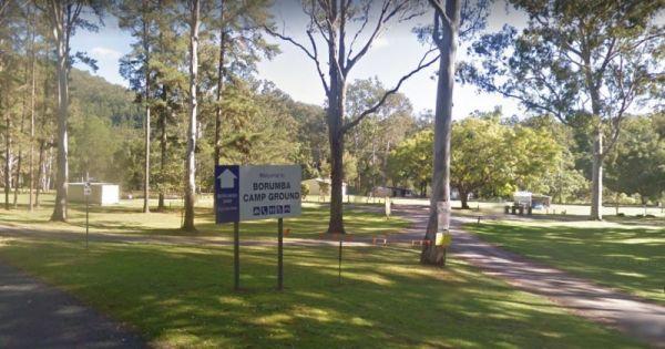
Lake Borumba Camping Grounds
The Lake Borumba Camping Grounds are adjacent the Yabba Creek which flows towards the Dam. There is a camp kitchen, fire pits a toilet block with hot showers and shady grassy spots to camp under.
NOTE: The Onsite Kiosk only accepts cash, so you can't use ...
Read More...
, , , , , ,
Lake Charm Rest Area
At the Lake Charm Rest Area, you can take a break and have a bbq. This rest area is next to Racecourse Lake.Note: the lakes water levels vary according to the seasonal conditions.
Entrance to the Lake Charm Rest Area
Lake Charm Rest Area location map ...
Read More...
, , , ,
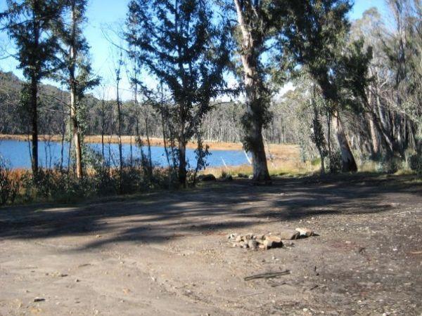
The Lake Cobbler Camping Area can be accessed in a conventional 2WD as far as Bennies in dry weather only. Once there you'll find a fairly large gravel surface. Be prepared with warm clothing and sufficient supplies, as the weather conditions rapidly chan ...
Read More...
,
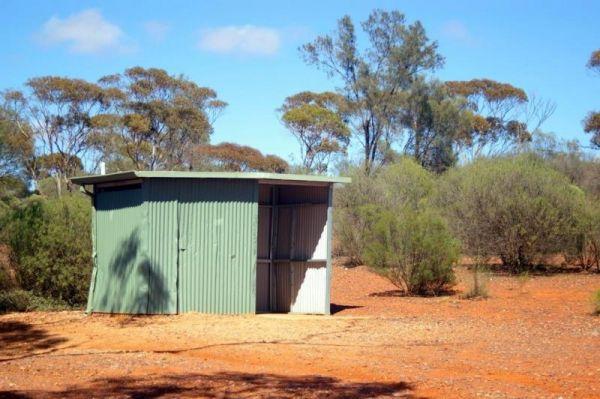
The Lake Douglas Recreation Reserve road in, past the quarry is very corrugated that leads to a large camping area. The camping area is suitable for caravans that have levelling blocks with them. There is one long-drop toilet, picnic tables and fire pits ...
Read More...
, , , , , ,
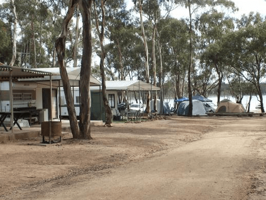
Entrance to the Lake Eppalock Holiday Park Lake Eppalock Holiday Park location map
, , , , , ,
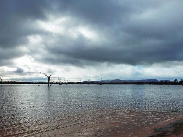
Lake Fyans Holiday Park
Entrance to the Lake Fyans Holiday Park Lake Fyans Holiday Park location map
, , , , , , , , , , , , , , ,
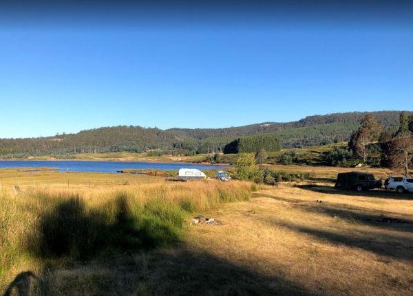
Lake Gairdner Camping Area is a nice spot with amazing view towards the lake and this campsite is great for relaxing, fishing, playing with the kayak etc. But be sure to bring everything you need with you.
Note: The camp area can flood with greater than ...
Read More...
, , ,
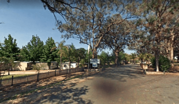
Entrance to the Lake Hume - Discovery Parks Lake Hume - Discovery Parks location map
, , , , , , , , , , , , , ,
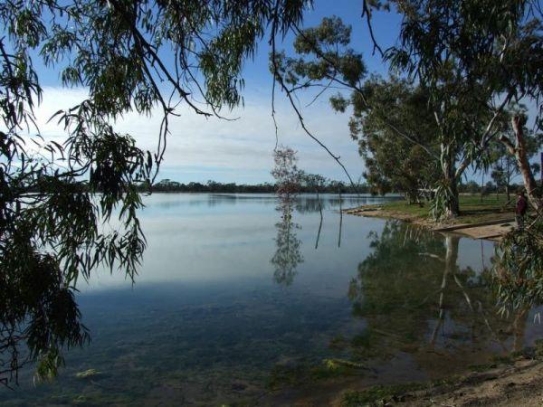
Lake Lascelles Rest Area is a great place to free camp around the lake with shady spots right next to the water and brilliant sunsets across the lake. There are toilet and shower facilities, both powered and unpowered sites, a washing machine is available ...
Read More...
, , , , ,
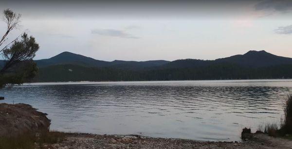
Lake Mackintosh Camping Area location map
, , ,
Lake Meran Camping Area
When camping at the Lake Meran Camping Area, water in the lake varies from nothing to full, so fishing is not an option here hahaha. Lake Meran has an Honesty box Fees/Donations used to upkeep of lake facilities and improvements to foreshore:
Entrance to ...
Read More...
, , ,
Lake Narracan Caravan Park
Entrance to the Lake Narracan Caravan Park Lake Narracan Caravan Park location map
, , , , , ,
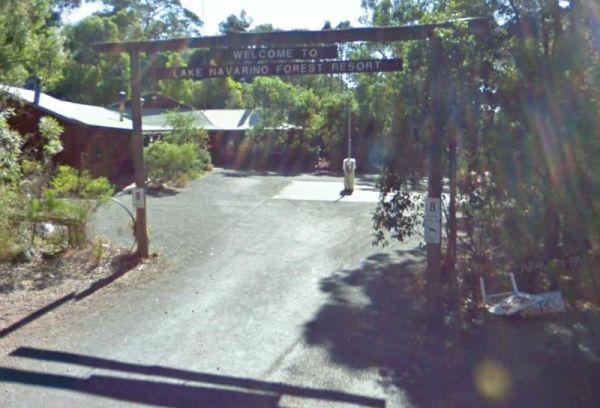
Entrance to the Lake Navarino Holiday Park Lake Navarino Holiday Park location map
, , , , , , , ,
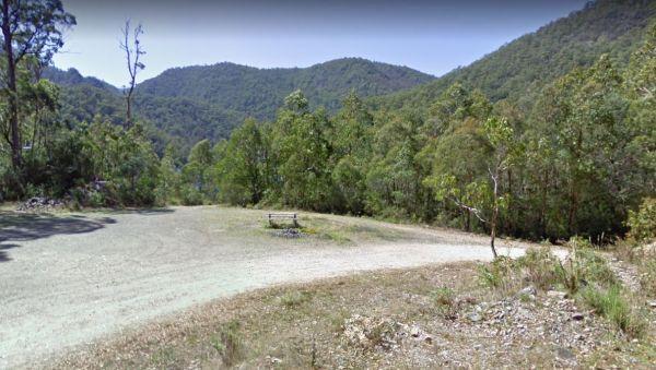
Lake Parangana Camping Area
At the Lake Parangana Camping Area you can relax with a fishing line in your hand, grab your kayak and go explore the lake, blow the dust off your camera and take some unforgettable scenery.
Entrance to the Lake Parangana Camping Area
Lake Parangana C ...
Read More...
, , ,
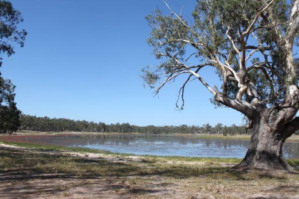
The Lake Ratzcastle Camping Area is an awesome little location right next to the lake. There are two flushing toilets, tank water and a solar powered shower, and lots os campsites to choose from. Maybe you would like to try your luck at catching a Yabbie ...
Read More...
, , , ,
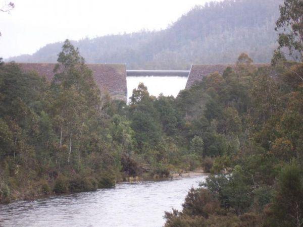
Lake Rowallan Bridge Rest Area
The Lake Rowallan Bridge Rest Area is on the banks of the Mersey River. I’ve said fishing is available, but you do have to walk a short while to find a suitable place near the bridge. Lake Rowallan Bridge Rest Area location map
, , ,
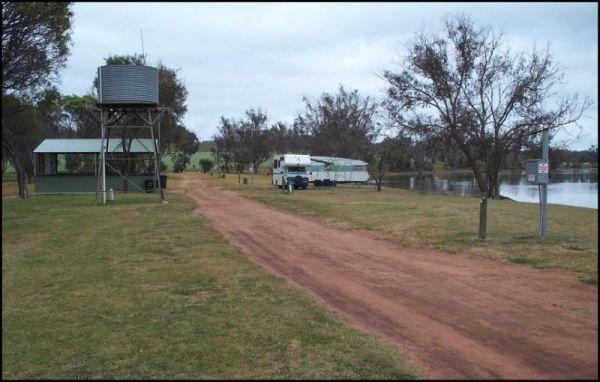
Lake Towerrinning Lakeside Camping
Entrance to the Lake Towerrinning Lakeside Camping Lake Towerrinning Lakeside Camping location map
, , , , , ,
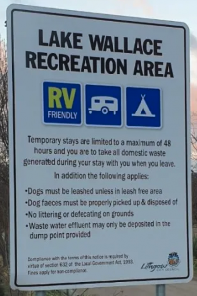
Lake Wallace Reserve Rest Area
Lake Wallace Reserve Rest Area
The onsite taps use Town water.
Time to take that Kayak off the roof and put it to good use there is also a public boat ramp.
Both Rainbow and Brown trout are in the lake so good luck.
There is now a children's play ar ...
Read More...
, , , ,
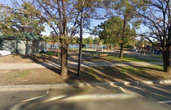
Entrance to the Lake Weeroona Park Rest Area Lake Weeroona Park Rest Area location map
, , , , ,
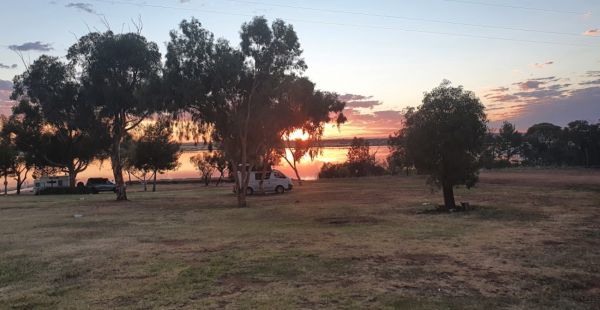
Lake Wyangan Picnic Area 72 Hour Limit
When staying at the Lake Wyangan Picnic Area, you will find some camping spots for your caravan close to the lake with some trees for shade. There are some picnic tables, bbqs and flushing public toilets with cold showers, plus the occasional got and peac ...
Read More...
, , , , , ,
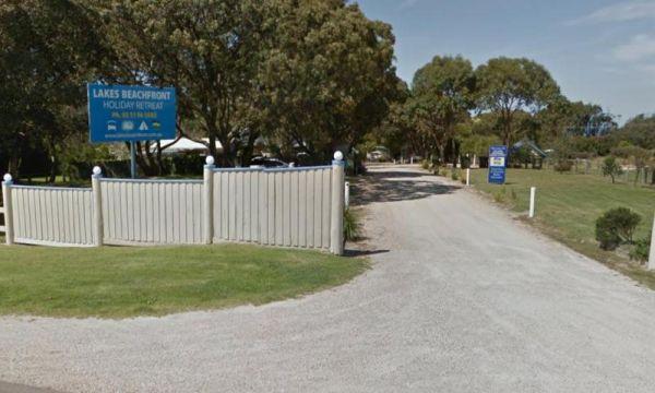
Lakes Beachfront Holiday Retreat
Entrance to the Lakes Beachfront Holiday Retreat Lakes Beachfront Holiday Retreat location map
, , , , , , , , , , , , , ,
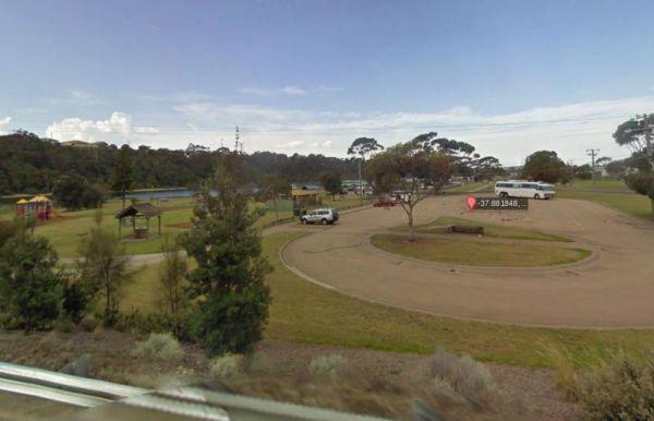
Lakes Entrance Parking Area
The Lakes Entrance Parking Area Walk over to the Tidal inlet and toss a line in. Have a BBQ while the kids play on the playground or pop over to the Visitor Information Centre.
Entrance to the Lakes Entrance Parking Area
Lakes Entrance Parking Area lo ...
Read More...
, , , ,
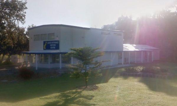
Lakes Entrance Visitors Information Centre
The Lakes Entrance Visitors Information Centre is opposite the Marine Parade Reserve which has bbq facilities and fishing. Entrance to the Lakes Entrance Visitors Information Centre Lakes Entrance Visitors Information Centre location map
, , ,
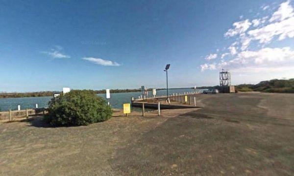
LakeView Caravan Park
Entrance to the LakeView Caravan Park LakeView Caravan Park location map
, , , , , , , , ,
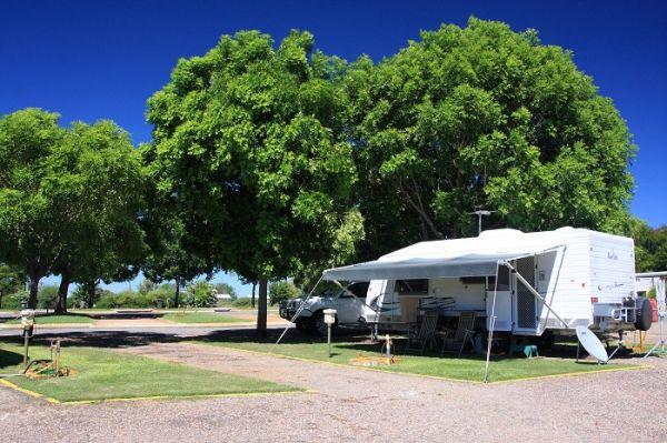
Entrance to the Lakeview Caravan Park Lakeview Caravan Park location map
, , , , , , ,
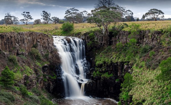
The Lal Lal Falls Rest Area is well worth a detour from the highway to experience this wonder of nature. From the carpark it's a short,250m walk, that allows you to view the falls from 2 different viewing platforms. This spot has a bbq, toilets and shelte ...
Read More...
, , , ,
Leigh River Rest Area
Entrance to the Leigh River Rest Area Leigh River Rest Area location map
, , ,
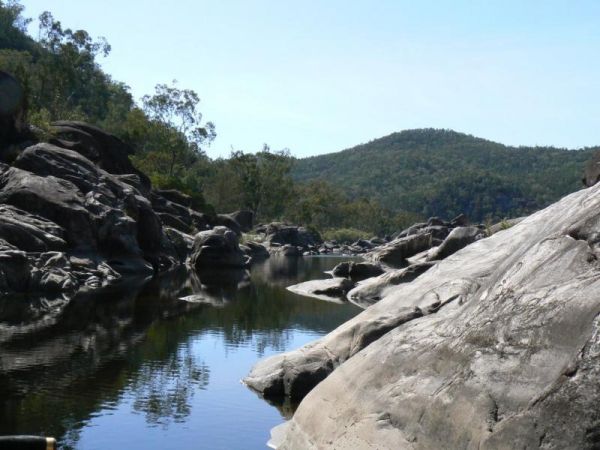
Lemon Tree Flat Camping Area is next to the Severn River. There is one free gas BBQ in a shelter, toilets, and some fireplaces. You will find a few walking tracks here. You'll find lots of wildlife, including Kangaroos echidnas goannas possums platypus et ...
Read More...
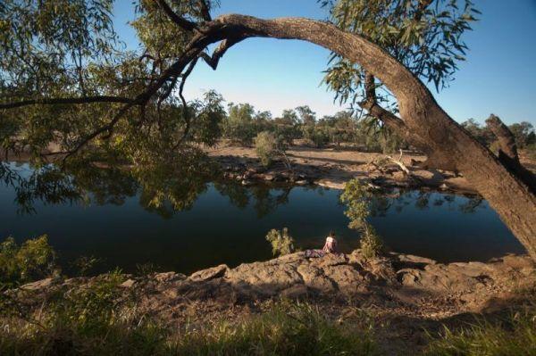
Lennard River Rest Area
The Lennard River Rest Area is along the banks of the Lennard River, so you might be able to catch a fish here. The campsite is reasonably level and approximately 100 metres of the main road with some small trees for shade.
Entrance to the Lennard River ...
Read More...
, ,
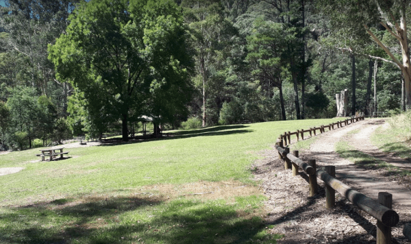
Lightning Creek Camping Area
The Lightning Creek Camping Area is a large level and well grassed area with beautiful mountain scenery to set up camp in. There is plenty of room for caravans, clean long drop toilets with wheelchair access, bbqs, picnic tables, large grassy areas with s ...
Read More...
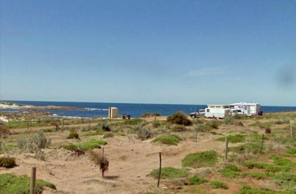
The Lipson Cove Campground is not sheltered so choose your weather wisely. There are public toilets and fire pits, and good fishing available here. This is a nice sandy bay on the Eyre Peninsula overlooking the Spencer Gulf, you will be quite isolated her ...
Read More...
, , ,
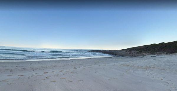
Little Beach Camping Area
The Little Beach Camping Area has a drop toilet, and bbq, and is a back to basics camp, you bring everything you need and take your rubbish away with you. P.S. Good Rock Fishing at either end of the white sand beach. this campsite Gets Noisy around school ...
Read More...
, ,
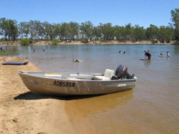
Little Bruces Track Camping Area
Little Bruces Track Camping Area can be hard to find the correct road to turn onto another Dirt road, thats running off the Murray Valley Highway.😂
There are 3 general camping sites, Forges 1, Forges 2, and Little Bruce itself.
Turn Off GPS -35.998578, ...
Read More...
The Little Creek Reserve Picnic & Rest Area does not have enough water for a kayak unless you enjoy lifting it over the shallow rocky sections. There are wood fired bbqs and picnic tables and some shade to park under.
Little Creek Reserve Picnic & ...
Read More...
, , ,
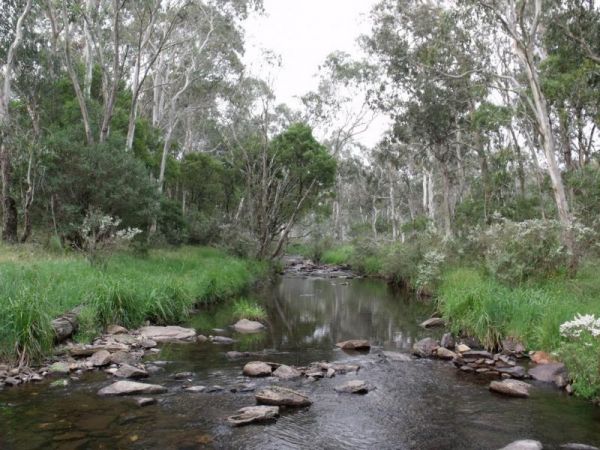
The Little Styx River Camping Area is a beautiful spot near a small trickling river and is a nice restful place to share with a few other travellers. There is a composting toilet and a few fireplaces come bbqs, and plenty of shady trees to park your carav ...
Read More...
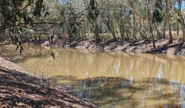
Lloyd Jones Weir Riverside Reserve Camp Area
The Lloyd Jones Weir Riverside Reserve Camp Area is a nice place to enjoy a day or two, this is a popular stopover so it always a good idea to arrive early and pick a good spot to stay. Lloyd Jones Weir Riverside Reserve Camp Area location map
, , , ,
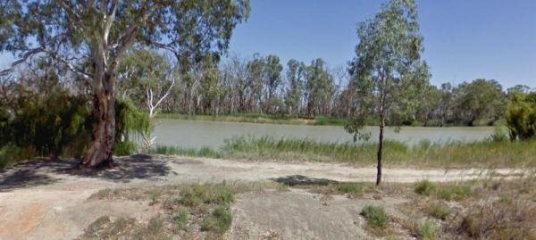
Loch Luna Game Reserve Camping Area 2
The Loch Luna Game Reserve Camping Area 2 is a basic campsite suited to those of you who are self contained, there is a public toilet, and quite a few campsites along the Murray River and Dogs must be on a leash at all times.
Entrance to the Loch Luna Ga ...
Read More...
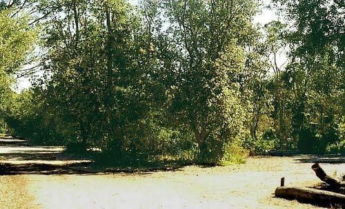
Loch Sport – Emu Bight Campground National Park
Emu Bight Campground National Park Travel through Loch Sport. Camping is permitted at Emu Bight only, close to the shore of Lake Victoria. Bookings are required. Phone the Parks Victoria Loch Sport office via 13 1963. Bring your Own Firewood and Water
Lo ...
Read More...
,
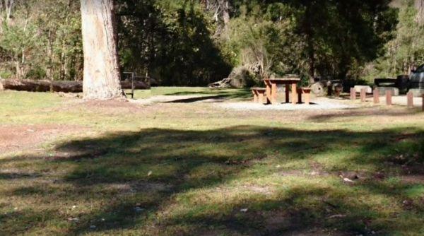
Log Crossing Picnic Area
Log Crossing Picnic Area Log Crossing Picnic Area location map
, , , ,
Log Wharf Reserve Rest Area
The Log Wharf Reserve Rest Area has a boat ramp, and plenty of space to park your caravan. There are undercover picnic tables, a few BBQ's and rubbish bins, and a public toilet. This is a nice scenic spot on the banks of the Wilson River to take a break f ...
Read More...
, , , , ,
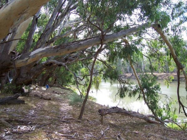
Long Beach Camping Area is best suited to vehicle based camping and I'd think twice before committing a large caravan to this spot on the Murrumbidgee River, as it might be a bit difficult to maneuver. Long Beach Camping Area location map
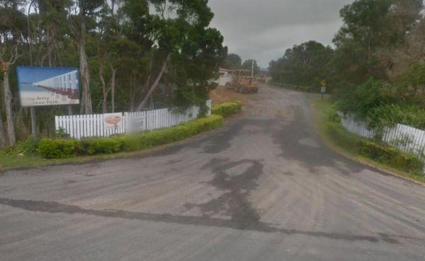
Long Jetty Caravan Park
Entrance to the Long Jetty Caravan Park Long Jetty Caravan Park location map
, , , , , , ,
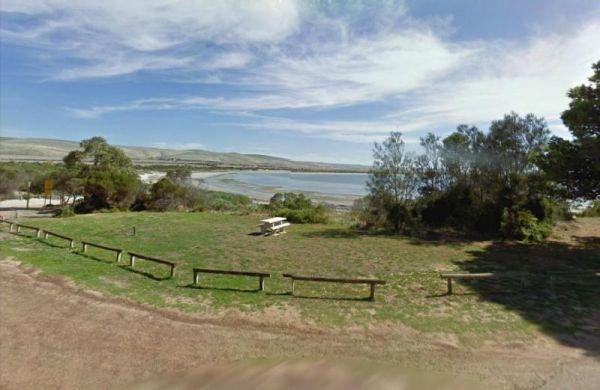
Louth Bay is a lovely seaside town located approximately 24km from Port Lincoln.Entrance to the campground is off Louth Terrace.The campground has 5 unpowered sites, camping outside these designated sites is strictly not permitted.
Bookings are not taken ...
Read More...
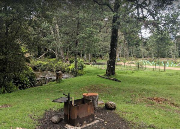
The Lower Liffey Reserve Camping Area is on the banks of the Liffey River, DO NOT ATTEMPT to Take Your Rig Up To The Falls, you will be asking for trouble if you do. The road is narrow and very winding up to the falls car-park.
Entrance to the Lower Liff ...
Read More...
, , , ,
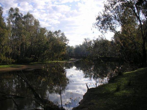
Permanently Closed due damage by inconsiderate campers.
The Lumbys Bend Camping Area is a rough bush camp next to the Murray River, water activities including fishing, swimming, kayaking etc. come to mind and photography all available from this campsit ...
Read More...
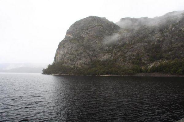
The Mackintosh Dam Rest Area camping area is past the dam wall, further down the road. Entrance to the Mackintosh Dam Rest Area Mackintosh Dam Rest Area location map
,
Macksville Lions Park Rest Area
Macksville Lions Park Rest Area is a small tidy park right on the river's edge and very popular amongst travellers. The park has bbq facilities, public toilets, boat ramp, children's playground, rubbish bins, and it's a free overnight stop over with room ...
Read More...
, , , , , ,
The Macquarie Woods Forest Reserve is a fantastic spot to park our caravan for a few nights to explore Bathurst and has more camping spots than you can poke a stick at. There is a public long drop toilet, picnic tables, fireplaces with bbq facilities, a f ...
Read More...
, , , , , , ,
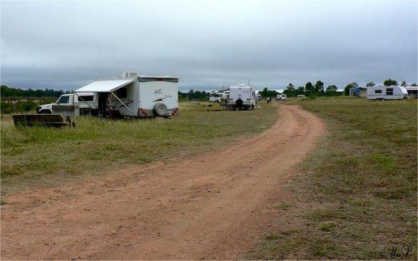
From the Macrossan Park Rest Area you can drop the kayak in and paddle down and have a look at the twin railway bridges. Perhaps you would prefer to sit on the bank of the Burdekin River, and kill some time fishing. Don't forget to take your camera with y ...
Read More...
, , , , , ,
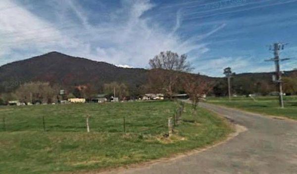
Magorra Caravan Park
Entrance to the Magorra Caravan Park Magorra Caravan Park location map
, , , , , , , , , , , ,
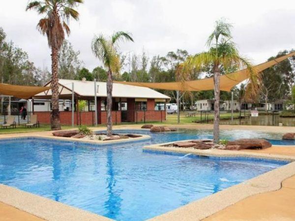
Entrance to the Maiden's Inn Holiday Park Maiden's Inn Holiday Park location map
, , , , , , , , , , ,
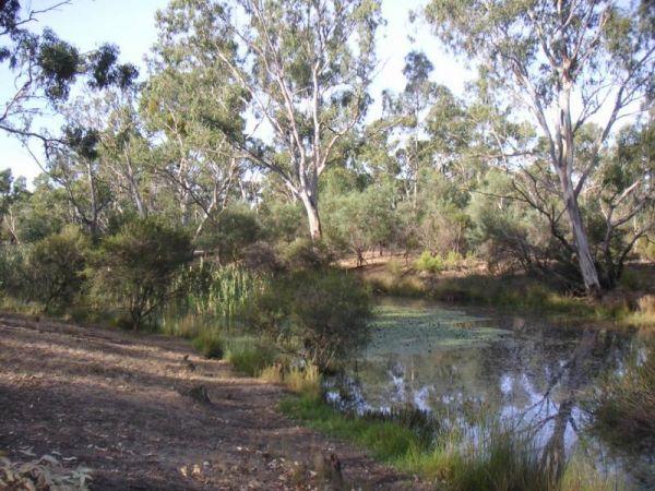
Major Creek Reserve Camping Area
The Major Creek Reserve Camping Area, is a great camp spot if you can get near the water ...it's a bit dusty otherwise with good access for caravans, and depending on what time of the year you stay here especially around Easter, you might hear the scare g ...
Read More...
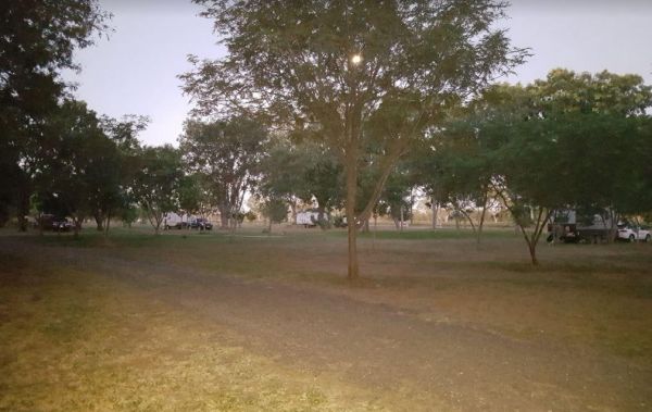
Entrance to the Manbulloo Homestead Manbulloo Homestead location map
, , , ,
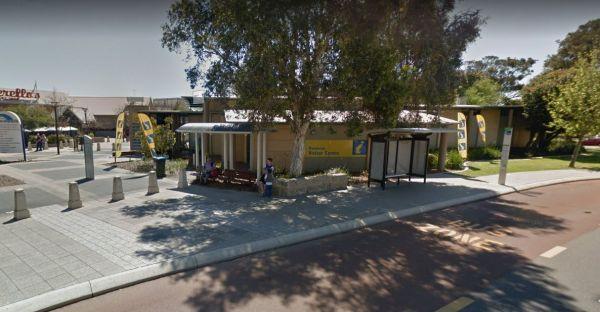
Entrance to the Mandurah Visitor Information Centre Mandurah Visitor Information Centre location map
,
Mann River Caravan Park
Entrance to the Mann River Caravan Park Mann River Caravan Park location map
, , , , , , , , ,
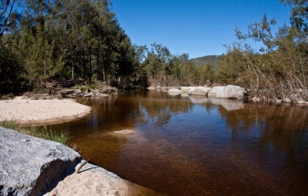
When visiting the Mann River Nature Reserve, why not pop your Kayak in and paddle up to the Old Bridge, all that's left to see are the supports jutting out of the water. Or you can cross over the river and stay in the Mann River Caravan Park. There is a p ...
Read More...
, , , , ,
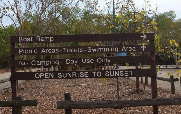
Manton Dam Recreation Area
The Manton Dam Recreation Area has plenty of places to have a picnic in the shade, and there is a public toilet and rubbish bins present. This is a nice spot to pop your Kayak into and paddle around for a bit, and maybe do some fishing.
Gates are Open: M ...
Read More...
, ,
Marengo Holiday Park
Entrance to the Marengo Holiday Park Marengo Holiday Park location map
, , , , , , , ,
Entrance to the Mark Point Campground Mark Point Campground location map
The Marlay Point Free Camping has public toilets and an old water tank with water, with camping right on the edge of the beach on a nice grassy area (just near yacht club). This campsite is located approx 18kms from Sale on Clydebank Road, turn off at sig ...
Read More...
, , , ,
Entrance to the Marlo Ocean View Caravan & Camping Park Marlo Ocean View Caravan & Camping Park location map
, , , , , , , ,
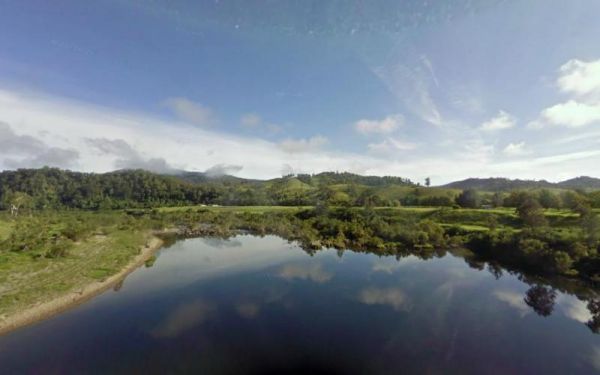
Marr Creek Rest Area
The Marr Creek Rest Area has the makings of a wonderful overnight spot, with the Mann River on your doorstep. There are undercover picnic tables, wood fired bbqs, rubbish bins and tank water here.
Entrance to the Marr Creek Rest Area
Marr Creek Rest A ...
Read More...
, , , , , ,
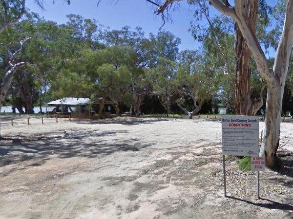
At the Martin's Bend Reserve Campground riverside camping is not permitted, you now have dedicated areas set aside at reasonable prices. Entrance to the Martin's Bend Reserve Campground Martin's Bend Reserve Campground location map
Martins Bend Riverside Reserve Camping Area
To find the Martins Bend Riverside Reserve Camping Area, follow Riverview Dr then turn onto Unnamed Road. Use GPS to find it more easily
Note: This site is more suited to smaller rigs or Tent Camping.
Martins Bend Riverside Reserve Camping Area location ...
Read More...
, , , , ,
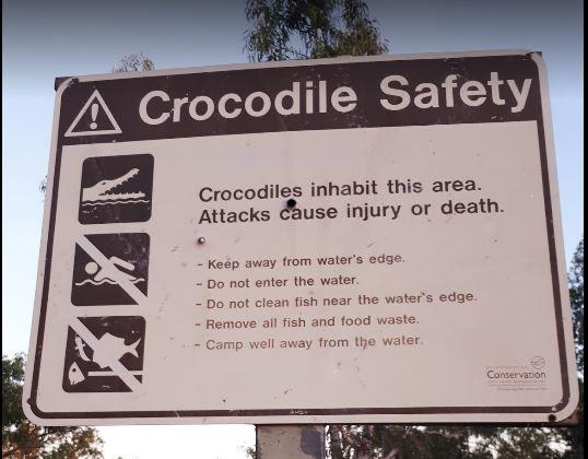
Mary Pool Rest Area
Mary Pool Rest Area location map
, , , ,
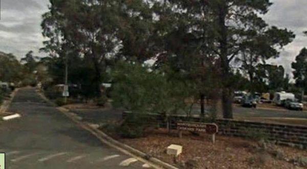
Maryborough Caravan Park
Entrance to the Maryborough Caravan Park Maryborough Caravan Park location map
, , , , , , , , , , , , ,
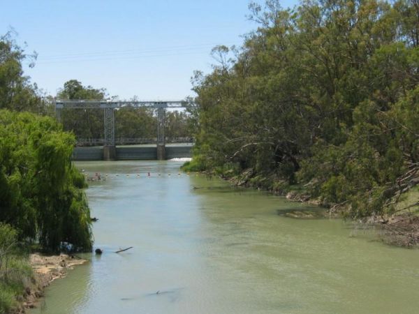
The Maude Camping Area is located just South of the bridge, about 200 mtr off Maude Rd on Nap Nap Rd on dirt road. This is a rough bush camp area on the Murrumbidgee River with enough space for about 6 or so caravans. You are within walking distance to th ...
Read More...
The McClelland Camping Area is a great spot by the river and accessible by 2wd, but best accessed with 4x4's with vehicle based tent camping. You will need to bring everything, and take your rubbish with you, water is available from the Big River, but mak ...
Read More...
McKillops Bridge Camping Area
The McKillops Bridge Camping Area has walking tracks, a public toilet and quite limited facilities. The campground is within easy walking distance to the Snowy River, for fishing or swimming over the small rocks.
Entrance to the McKillops Bridge Camping ...
Read More...
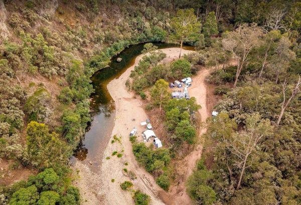
McKinnon Point Camping Area
The Mckinnon Point Camping Area is a lovely secluded flat free campsite close to the Freestone Creek, the only downside is that the sunsets early in the afternoon due to the surrounding cliffs. There is easy access from this campsite to river during the s ...
Read More...
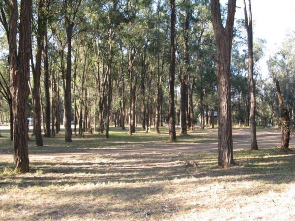
The McNamara Park Rest Area is a fairly large campground, surrounded by bush picnic tables, rubbish bins and flushing toilets. This park is suitable for caravans, campers, motorhomes as well as tents and is located on the banks of Wollombi Brook, with a t ...
Read More...
, , , , ,
The Meningie Lions Jubilee Park has shops within walking distance. You can fish from the beach or from the small jetty at high tide, or take a nice walk along the sandy shoreline.
Entrance to the Meningie Lions Jubilee Park
Meningie Lions Jubilee Park ...
Read More...
, , ,
Lake Colac holds Redfin and Carp for those who like fishing, and it's a great place to put your kayak into the water, there is even a boat ramp located here. The campsites is on 6 hectares of land with plenty of places to pitch a tent on grass and quiet c ...
Read More...
, , , , , ,
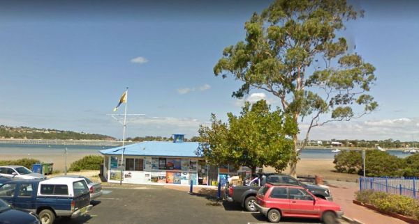
Merimbula Visitor Information Centre Open hours:9am to 5pm Monday-Friday9.00am to 4.00pm Saturday10.00am to 4.00pm Sunday Entrance to the Merimbula Visitor Information Centre Merimbula Visitor Information Centre location map
, ,
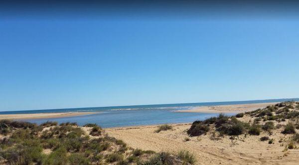
Miaboolya Beach Rest Area location map
,
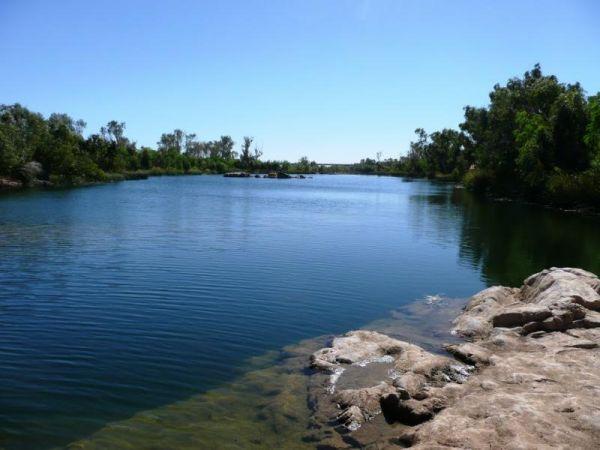
Entrance to the Miaree Pool Rest Area Miaree Pool Rest Area location map
, , , , , ,
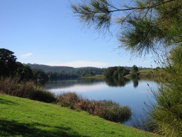
Entrance to the Mick Tuck Riverside Reserve Mick Tuck Riverside Reserve location map
, , , , , , ,

The Middle Beach Camping Area, is a walk in backpacking campsite with a public toilet, and some places to pitch a tent, but you will be rewarded with a beautiful open ocean beach at your doorstep. Some of these locations are difficult to find the first ti ...
Read More...
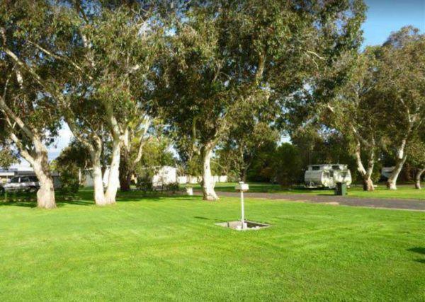
Entrance to the Millicent Lakeside Caravan Park Millicent Lakeside Caravan Park location map
, , , , , , , , ,
The Mirimbah West Rest Area is a rough bush camp with no facilites, and next to the Delatite River. It's a nice spot to try your hand at fishing, or take a quick stroll with your trusty camera in hand.
Entrance to the Mirimbah West Rest Area
Mirimbah ...
Read More...
, ,
The Delatite River runs along the side of the Mirimbah West Rest Area, it's a nice spot to take a quick stroll with your trusty camera in hand. Entrance to the Mirimbah West Rest Area Mirimbah West Rest Area Location Map
, ,
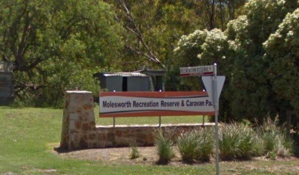
Molesworth Reserve Camping Ground
Entrance to the Molesworth Reserve Camping Ground Molesworth Reserve Camping Ground location map
, , , , , ,
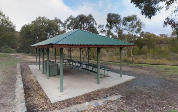
Molonglo Gorge Reserve Rest Area has a public toilet, plus bbq and a small children's playground, and the Molonglo River is very close if you want to try your hand at fishing, or take a few photos to remember this place.
Molonglo Gorge Reserve rest area ...
Read More...
, , , , ,
Mongans Bridge Caravan Park
Entrance to the Mongans Bridge Caravan Park Mongans Bridge Caravan Park location map
, , , , ,
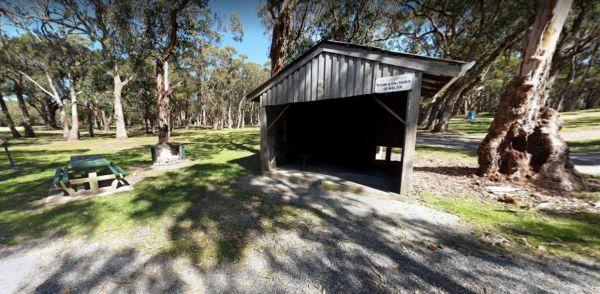
The Montagu Camping Area is a very popular place for fishermen with boats. If your shore based fishing there, you can walk out to the Robbins Passage channel at low tide. Montagu Camping Area location map
, , , , , ,
Monto Community Rest Area Campground location map
, , , ,
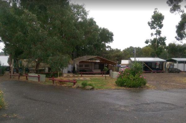
Moorabee Lodge Caravan Park location map
, , , , , , , ,
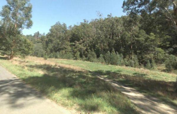
Morwell River Free Camping site 1 location map
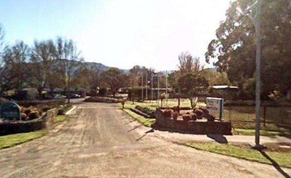
Entrance to the Mount Beauty Holiday Centre and Caravan Park Mount Beauty Holiday Centre and Caravan Park location map
, , , , , , , ,
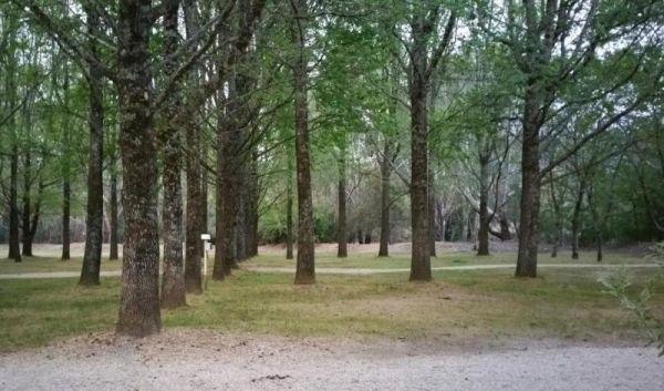
Mount Buffalo Caravan Park
Entrance to the Mount Buffalo Caravan Park Mount Buffalo Caravan Park location map
, , , , , , , , ,
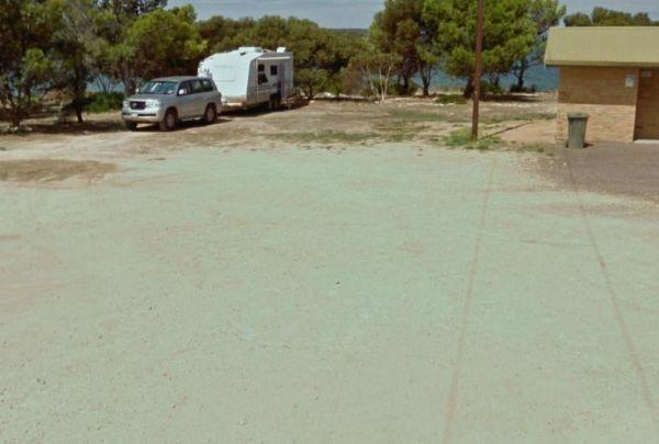
Mount Dutton Bay Rest Area
The Mount Dutton Bay Rest Area is level and right on the bay's edge. Please keep the adjacent boat launching area and carpark clear for the locals. Entrance to the Mount Dutton Bay Rest Area Mount Dutton Bay Rest Area location map
, ,
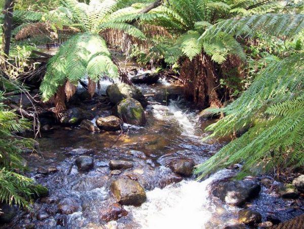
Mountain Dam Camping Area has lots of wildlife photography opportunities. There is a boat ramp, a drop toilet and a few fire pits with picnic tables at this campground. You can launch your kayak with ease, but do take it carefully, as there are lots of de ...
Read More...
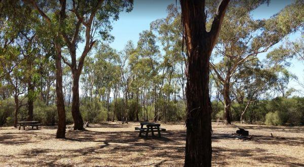
The Mountain Dam Camping Area has a boat ramp so you can launch your kayak with ease. There is a drop toilet and a few fire pits with picnic tables and this campsite has plenty of campsites to choose from.
Mountain Dam Camping Area
Mountain Dam Campin ...
Read More...
, , , ,
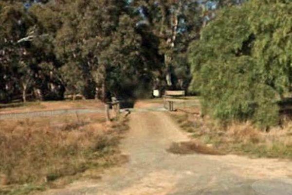
The Murchison State Forest - McMillans Camping Area you need to bring everything you need with you, and remember to take your rubbish to keep this site pristine, and ready for the next camper to enjoy. This is a rough bush camp with a few campsites to cho ...
Read More...
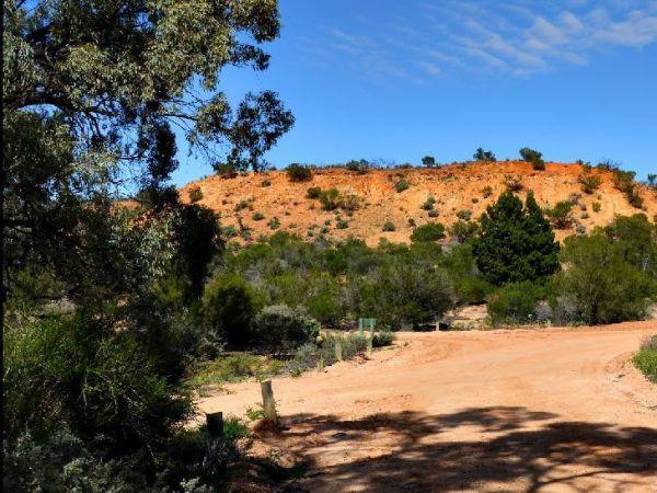
The Murtho Forest Landing Campground is very close to the Murray River. This is a basic bush camp and not a bad place to drop a fishing line. Entrance to the Murtho Forest Landing Campground Murtho Forest Landing Campground location map
Musselroe Bay Camping Area
When camping in the Musselroe Bay Camping Area, you should bring your own firewood and use the existing fireplaces. There is a boat launching ramp just up the road in the area if you need it. GPS -40.831987,148.177916
Entrance to the Musselroe Bay Campin ...
Read More...
, ,
Myall Creek Rest Area
The Myall Creek Rest Area is a shady spot set back from the main road in amongst some tall trees that offer some nice shade. Entrance to the Myall Creek Rest Area Myall Creek Rest Area location map
, , ,
Myrtleford Holiday Park
Entrance to the Myrtleford Holiday Park Myrtleford Holiday Park location map
, , , , , , , , , , ,
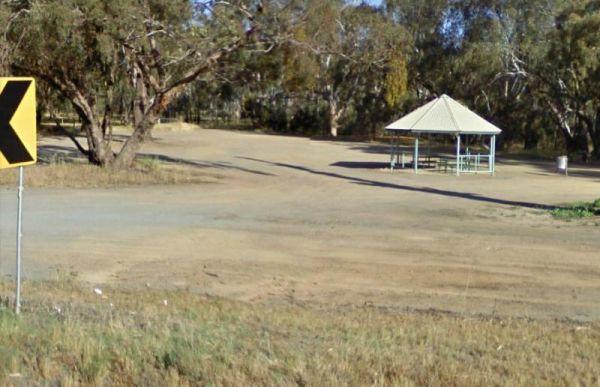
Nalinga Rest Area
The Nalinga Rest Area has an undercover picnic tables area with rubbish bins. This rest area is on a large gravel area with plenty of parking for your caravan. The Broken River runs quite close to this rest area, so take your fishing rod with you, and try ...
Read More...
, ,
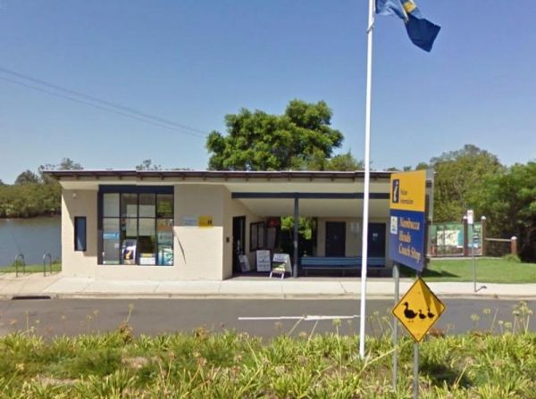
Nambucca Valley Visitor Information Centre
The Nambucca Valley Visitor Information Centre is a good place to catch a fish or stretch your legs Open Hours:9.00am to 5.00pm Daily Entrance to the Nambucca Valley Visitor Information Centre Nambucca Valley Visitor Information Centre location map
, ,
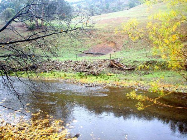
Nariel Creek Recreation Reserve Camping Area 48 Hour Li...
The Nariel Creek Recreation Reserve Camping Area is a beautiful spot, with public long drop toilets, a lovely babbling river, green grass for camping on. is on the grassy banks of the creek, lots of spots to choose from for an overnight stay. Please note ...
Read More...
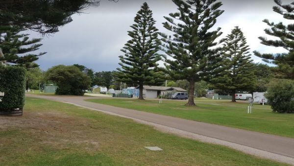
Entrance to the Narrawong Caravan Park Narrawong Caravan Park location map
, , , , , , , , ,
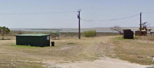
Plenty of spots at the Narrung Jetty Reserve, all on a nice grassy area within easy walking distance of the waters edge. There are rubbish bins toilets and a water tap for washing dishes etc. NOTE: 72 Hour Limit for camping NOTE: 72 Hour Limit for camping ...
Read More...
, , , ,
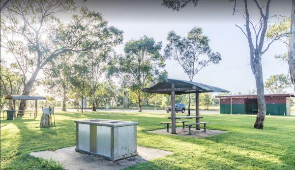
The Neil Turner Weir Rest Area is a nice safe area for your Kayak, the banks can be a bit steep, so be careful if you have young children. P.S. There is a Concrete Boat Ramp which will make it a lot easier to launch the larger rubber boats etc.
Entrance ...
Read More...
, , , , , , ,
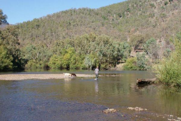
Neils Reserve Camping Area
The Neils Reserve Camping Area Well away from the main road and on the Banks of the Murray River. This is a fantastic reserve, and very popular during peak holiday periods, there are plenty of camping areas close to the water. It's a bring everything you ...
Read More...
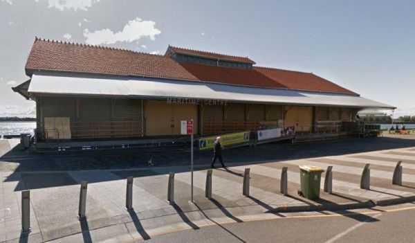
The Newcastle Visitor Information Centre is located on the banks of the Hunter RiverOpen Hours:Closed Monday10am to 4pm for the rest of the week Entrance to the Newcastle Visitor Information Centre Newcastle Visitor Information Centre location map
,
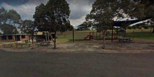
Entrance to the Nicholson Rest Area Nicholson Rest Area location map
, , , , , ,
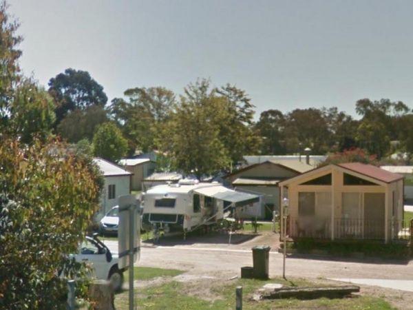
Entrance to the Nicholson River Caravan Park Nicholson River Caravan Park location map
, , , , , , , , , , , ,
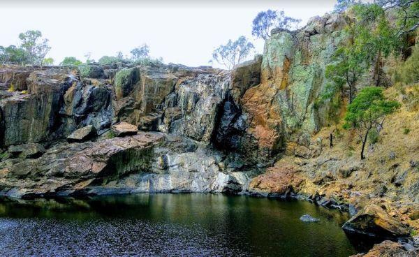
The Nigretta Falls Scenic Reserve were previously known as the Upper Wannon Falls, these waterfalls are located in the Southern Grampians Shire, approximately 16 kilometres west of Hamilton. There are three different viewing areas, one from car park and w ...
Read More...

Nobles Beach Camping Area
The Nobles Beach Camping Area has a few good camping spots to stop at, along the Murrumbidgee River, and make camp for a few days. Nobles Beach Camping Area location map
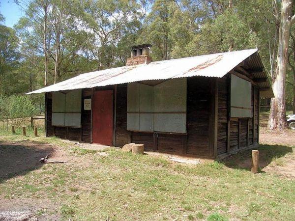
Noonans Flat Camping Area
If planning on staying at the Noonans Flat Camping Area, has amazing views with good access to the river, and an there's an old mine not far away to explore. It would be a good idea to contact Parks Victoria about prevailing conditions, before heading off ...
Read More...
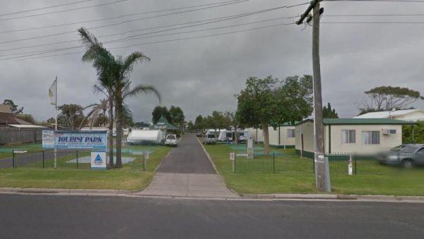
North Arm Tourist Park
Entrance to the North Arm Tourist Park North Arm Tourist Park location map
, , , , , , , , ,
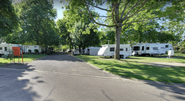
NRMA Bairnsdale Riverside Holiday Park
The NRMA Bairnsdale Riverside Holiday Park is pet friendly and has a great location next to the Mitchell River, plus its within easy walking to the local shops, and restaurants.
Entrance to the NRMA Bairnsdale Riverside Holiday Park
NRMA Bairnsdale Ri ...
Read More...
, , , , , , , ,
The NRMA Bright Holiday Park is located on the banks of Morse’s Creek which flows into the Ovens River all within easy walking distance from your campsite. Entrance to the NRMA Bright Holiday Park NRMA Bright Holiday Park location map
, , , , , , , , , , , ,
The Numeralla River Rest Area has the river close at hand, so it's hard not to try some fishing and a spot of camera work, not to mention a crack at trying to get the kayak on the water.
Entrance to the Numeralla River Rest Area
Numeralla River Rest A ...
Read More...
, , , ,
Nyah Lions Club Recreation Reserve Camping Area, is an amazing place to camp at. With plenty of room for any size camper and access to the river, there's a dump point and potable water available, along with rubbish bins, bbqs are provided free for all to ...
Read More...
, , , , , , ,
Entrance to the Nyngan Riverside Tourist Park Nyngan Riverside Tourist Park location map
, , , , , , , , , ,
At the Nyngan Rotary Park Rest Area there is No Camping permitted at this location, it is a rest areas only. Entrance to the Nyngan Rotary Park Rest Area Nyngan Rotary Park Rest Area location map
, , , , ,
Oaky Creek Rest Area
The Oaky Creek Rest Area is just a short walk to the Oakley River, but don't expect to see a massive amount of water, but there are fish in there if your keen enough. Entrance to the Oaky Creek Rest Area Oaky Creek Rest Area location map
, ,
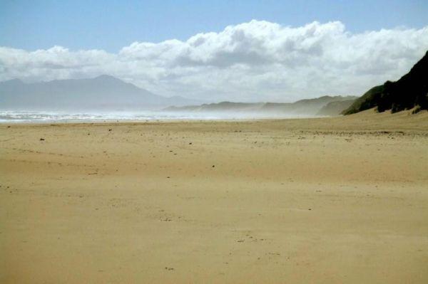
If visiting the Ocean Beach Coastal Reserve Strahan, beach fishing is the main attraction here, and long walks along the sandy shoreline.
NO CAMPING PERMITTED
Entrance to the Ocean Beach Coastal Reserve Strahan
Ocean Beach Coastal Reserve Strahan loc ...
Read More...
,
Old Bonalbo Pioneers Park Rest Area 24 Hour Limit
The Old Bonalbo Pioneers Park Rest Area has room to park your caravan and is right on the banks of the Duck Creek for fishing enthusiasts. You will experience a bit of Road noise, but apart from that, it's a nice spot for an overnighter.
Entrance to the ...
Read More...
, , , , ,
Old Camp
Entrance to Old Camp Old Camp Location Map
, , , ,
Ovens River Frosts Camping Area
The Ovens River Frosts Camping Area is a rough bush camp that has a few camping spots along the Boundary Creek. Camping here will give you a chance to catch lunch if your into fishing. Ovens River Frosts Camping Area location map
Paddys River Rest Area
You can catch some trout at the Paddys River Rest Area, it's a nice place to spend a few minutes, or for an overnight stop if needed. There is a children's playground, and bbqs here.
Entrance to the Paddys River Rest Area
Paddys River Rest Area locati ...
Read More...
, , , ,
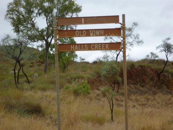
Palm Springs Rest Area
Palm Springs Rest Area location map
, ,
When at the Pamamaroo Lake Camping Area is a huge space to camp, either along the lake shore where there are no toilets, or adjacent to the historical Burke and Wills campsite where there's toilets.
Note: The Menindee sports ground has a tap for water. ...
Read More...
Paper Beach Reserve Rest Area 12 Hour Limit
At the Paper Beach Reserve Rest Area you can make a call from the phone box, pop over to the water, turn right, and take a walk along the water's edge to the point, and take your camera with you.
Entrance to the Paper Beach Reserve Rest Area
Paper Bea ...
Read More...
, , , ,
Paradise Beach Camping Area
From Paradise Beach Camping Area you can walk over the sand dunes and take a stroll along the ninety mile beach. If fishing is your thing, wait till close to sundown and into twilight, you can catch Gummy Sharks quit close to the beach. If you are lucky y ...
Read More...
, ,
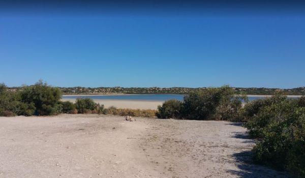
Parnka Point Campground location map
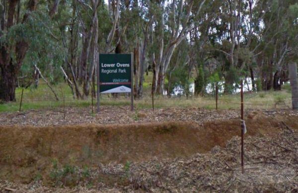
The Parolas Bend Camping Area is a rough bush camp, you might be lucky to catch a fish for dinner from her since your adjacent the Ovens River, or you can also stay at the Bundalong Riverside Caravan Park if you prefer.
Entrance to the Parolas Bend Campi ...
Read More...
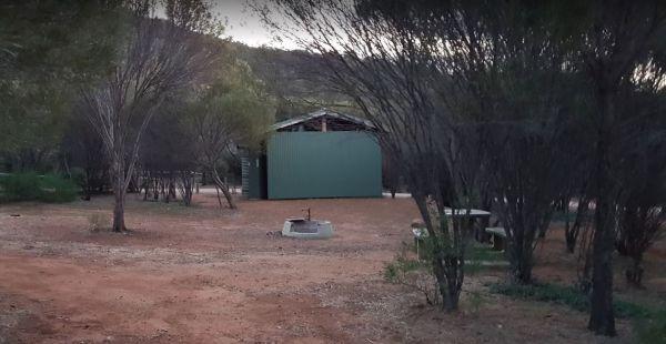
Peak Charles National Park Camping Area
The Peak Charles National Park Camping Area is located at the base of the largest granite outcrop in the Great Western Woodlands. The campground is small with some shade available, theres public long drop toilets, fire pits, undercover picnic tables, and ...
Read More...
, ,
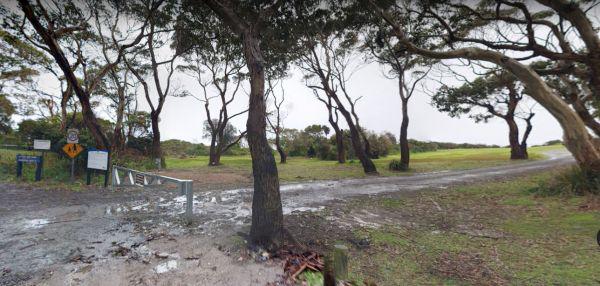
Peggs Beach Conservation Area Campgrounds
The Peggs Beach Conservation Area Campgrounds has no Power available, Bring your Own Wood for the BBQ's, this campground is controlled by Parks Tasmania. This is a popular spot with easy access to nice sandy beaches.
Entrance to the Peggs Beach Conservat ...
Read More...
, , , ,
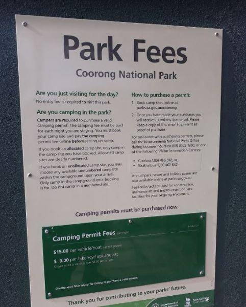
Pelican Campground location map
Peppermint Ridge Camping Ground has access to the Big River with two camping areas available. This is a rough bush camp, so you will need to bring everything you need and take your rubbish with you when you leave.
Peppermint Ridge Camping Ground location ...
Read More...
Entrance to the Perlubie Beach Camping Area Perlubie Beach Camping Area location map
,
Entrance to the Perts River Reserve Perts River Reserve location map
, , ,
Peterborough Park Rest Area
Entrance to the Peterborough Park Rest Area Peterborough Park Rest Area location map
, , , ,
Peters Bridge Rest Area
The Peters Bridge Rest Area is a large grassy area next to the Mitta Mitta River. This is a nice rest spot to try your kayak out, and maybe a bit of fishing also. Entrance to the Peters Bridge Rest Area Peters Bridge Rest Area location map
, ,
Entrance to the Piangil North Rest Area Piangil North Rest Area location map
, , ,
Pickerings Flat Camping Area
Pickerings Flat Camping Area is a rough bush camp, there are a few Old Mines in the area, so take care if walking off the beaten track. Pickerings Flat Camping Area Location Map
, , , ,
The Picnic Point Camping Area is next to the Goulburn River, with plenty of water activities for you to pursue. Time to see if the Kayak has a leak in it. Entrance to the Picnic Point Camping Area Picnic Point Camping Area location map
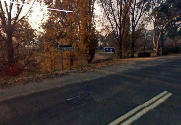
Pigs Point Reserve Camping Area
The Pigs Point Reserve Camping Area is a great spot the Mitta River on the omeo highway about 14 km from Tallangatta. It has mobile phone reception, clean long drop toilets, large well maintained camping areas and fire pits. Great area for fishing, trout, ...
Read More...
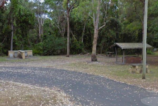
Pilgrim Memorial Park Rest Area
The Pilgrim Memorial Park Rest Area is just outside Brunswick on Tweed Street, there is room to park your caravan, a public toilet, some picnic tables and rubbish bins, and a wood fired bbq. With the Simpsons Creek on the other side of Tweed Street, grab ...
Read More...
, , , , , ,
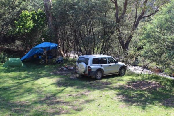
Pinch River Camping Area
When stopping at the Pinch River Camping Area is split into two camping grounds on both sides of the Pinch River. This is a nice spot to stay along the Barry way. with some long drop toilets, picnic shelters and fire rings. The pinch river is a small cree ...
Read More...
Pioneer Bridges Rest Area Location Map
, , ,
The Pipers Reserve Camping Area has plenty of shade and near the Murrumbidgee River for those fishing people who insist on trying to catch dinner. Pipers Reserve Camping Area location map
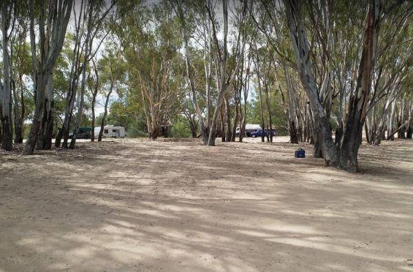
The Plushes Bend Camping Area now requires booking your site in advance for self contained RV's and caravans. The toilet block within walking distance of the designated and numbered campsites.
Entrance to the Plushes Bend Camping Area
Plushes Bend Cam ...
Read More...
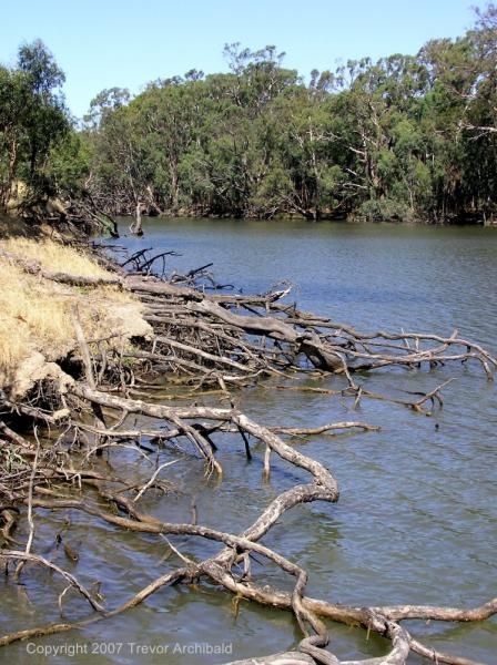
Entrance to the Pocock Park Rest Area Pocock Park Rest Area location amp
, , , , , ,
Point Lowly Camping Area
The Point Lowly Camping Area has it all, great views, good fishing, clean facilities its a credit to the Whyalla Council. As of 1 July 2013 a camping permit system was introduced at Point Lowly Camping Area.
Entrance to the Point Lowly Camping Area
Po ...
Read More...
, , , , ,
You will arrive at the Ponto Falls Reserve Camping Area is next to the quiet and gentle flowing water on the Macquarie River with lots of bird life. This is a beautiful place and easily accessible for a normal 2wd vehicle but will change rapidly in wet co ...
Read More...
Porepunkah Bridge Caravan Park
Entrance to the Porepunkah Bridge Caravan Park Porepunkah Bridge Caravan Park location map
, , , , , , , ,
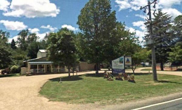
Porepunkah Pines Tourist Resort
Entrance to the Porepunkah Pines Tourist Resort Porepunkah Pines Tourist Resort location map
, , , , , , , , , , , , ,
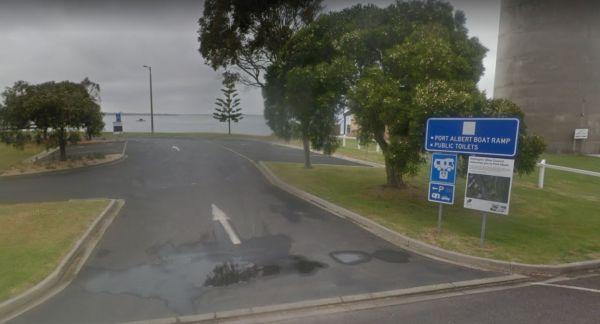
Port Albert Rest Area 24 Hour Limit
Entrance to the Port Albert Rest Area Port Albert Rest Area location map
, , , ,
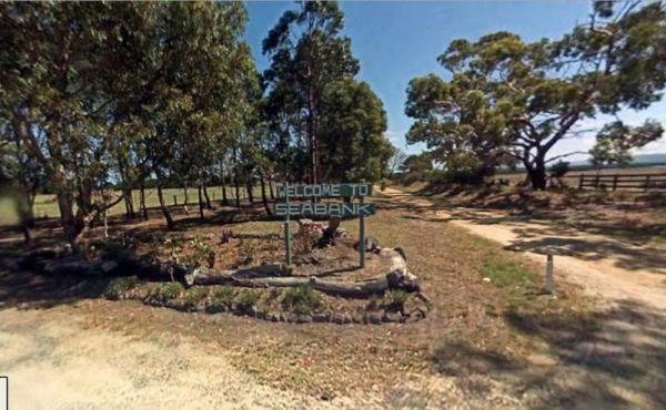
Port Albert Seabank Caravan Park
Entrance to the Port Albert Seabank Caravan Park Port Albert Seabank Caravan Park location map
, , , , , ,
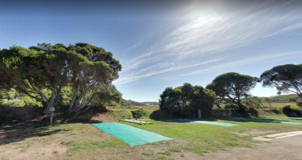
Port Campbell Caravan Park
Entrance to the Port Campbell Caravan Park Port Campbell Caravan Park location map
, , , , , , , , ,
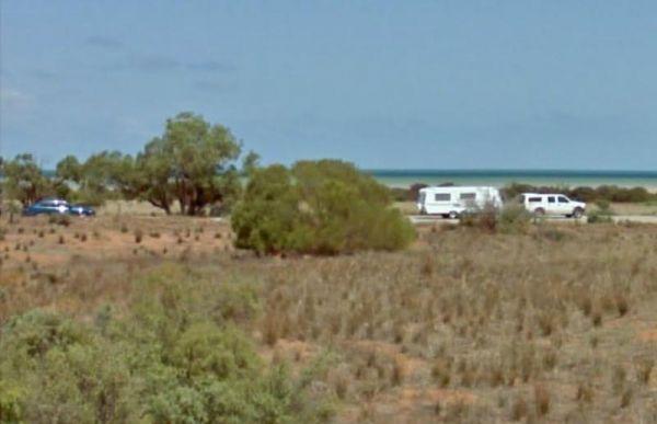
Port Gibbon Camping Area
If your planning on going to Port Gibbon Camping Area be sure to bring plenty of supplies with you, as there are no local shops to replenish from, and I'm sure you will get fed up eating fish everyday and nothing else.
Entrance to the Port Gibbon Camping ...
Read More...
, , , , , , , ,
At the Port Minlacowie Boat Ramp you can open your door and look out at the Spencer Gulf, Please keep well clear of the boat ramp area. Entrance to the Port Minlacowie Boat Ramp Port Minlacowie Boat Ramp location map
, ,
Pop over to the pub from the Port Neill Park Area, it's on the other side of the road or go for a stroll along the beach or go for a walk along the Jetty. Entrance to the Port Neill Park Rest Area Port Neill Park Rest Area location map
, , ,
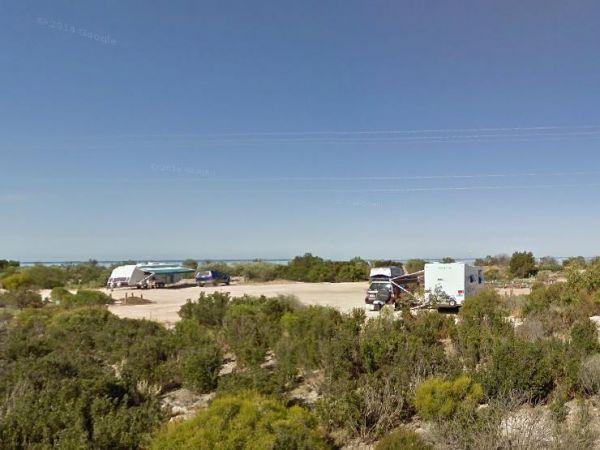
The Port Parham Foreshore Camping Reserve is a really nice location, but make sure you bring plenty of supplies with you as there are no shops close by to stock up.
Note: For those of you tent camping, make sure you have heavy duty tent pegs as the groun ...
Read More...
, , , ,
The Porters Creek Picnic Area is located on the corner of Porters Creek Road and Hut Road. This spot is on the banks of the Murray River, with a few picnic tables and shady trees to park under. Remember to take everything you need with you, and take your ...
Read More...
, , , ,
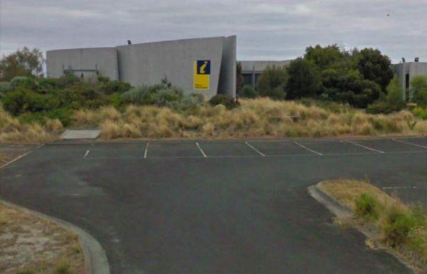
The Portland Visitor Information Centre has a very interesting maritime museum within the centre, or grab a hot chocolate and a meal and enjoy the surrounds. There is also a long breakwater nearby for those who are fishing enthusiasts.
Entrance to then P ...
Read More...
,
Powelltown Rest Area
Entrance to the Powelltown Rest Area Powelltown Rest Area location map
, , , ,
Entrance to the Powlett River Caravan Park Powlett River Caravan Park location map
, ,
The Private Jackson Park Gungal Rest Area is set back approximately 70 metres from Maitland Street, with a public toilet, some undercover picnic tables and rubbish bins. There is quite a bit of space to park your caravan and enjoy a break from driving.
E ...
Read More...
, , , ,
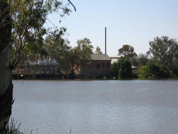
The Psyche Bend Camping Area is a place you can take your dog popular spot during public holidays. There is a historic pumping station nearby, which is open, and run by local enthusiasts.
Psyche Bend Pumping Station 360
Psyche Bend Camping Area locati ...
Read More...
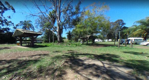
The Puma Kybong Rest Area has a public toilet and a paid shower facility, some undercover picnic tables with rubbish bins. The rest area is reasonably level and is located just behind the petrol station. You can walk along a path back to the servo shop, a ...
Read More...
, , ,
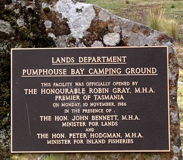
Pump House Bay Campground
The Pump House Bay campground has toilets and showers adjacent Hydro Bay area of Arthurs Lake and this lake has some of the best trout fishing in Tasmania, the campsite can be closed during the winter months due to snow.
Entrance to the Pump House Bay ca ...
Read More...
, , , , ,
Getting to the Quandong Camping Area is a rough bush camp, so you need to bring everything you need and it's a rough ride getting in here. So make sure all your equipment is working correctly, but once there you will have a choice of a few different camps ...
Read More...
,
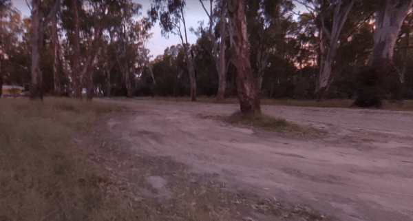
This Quicks Beach Camping Area is a beautiful, clean and quiet spot on the banks of the Murray River with sandy beach areas, and lovely clear water. There are grass areas sloping down to a sandy beach, which is ideal for kayaks and fishing.
Note: Check t ...
Read More...
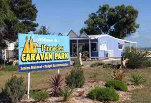
Entrance to the RAC Cervantes Holiday Park RAC Cervantes Holiday Park location map
, , , , , , , , , ,
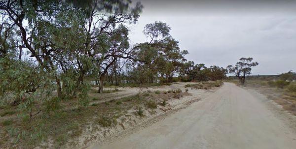
Entrance to the Ramco Point Camping Area Ramco Point Camping Area location map
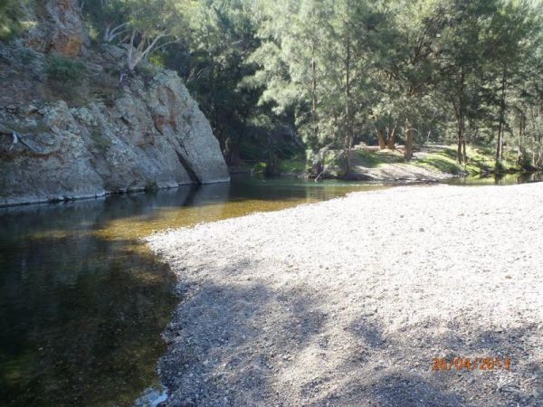
The Ration Point Camping Area is a nice spot to spend some time on the river and its interesting to see both sides of the river here have been worked for alluvial gold during the gold rush days. This campite is not far from the historic mining township of ...
Read More...
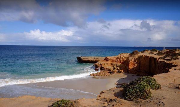
Turn off Lincoln Highway onto an unnamed dirt road to get to the Red Banks Rest Area, and follow for about 1 kilometre to camping area. There are spots for approx 6 caravans. Entrance to the Redbanks Rest Area Red Banks Rest Area location map
,
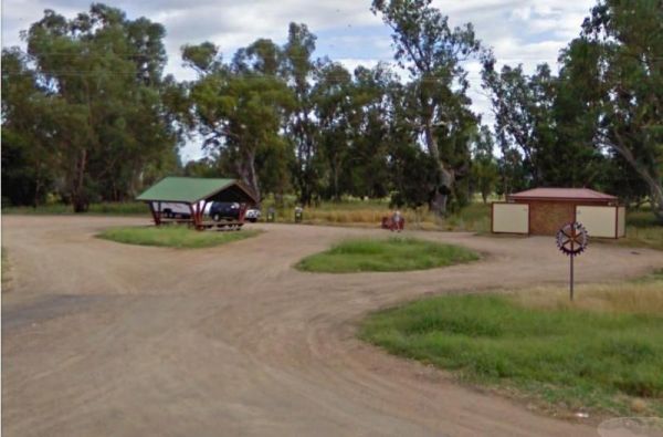
Entrance to the RedBank Rest Area RedBank Rest Area location map
, , , , , ,
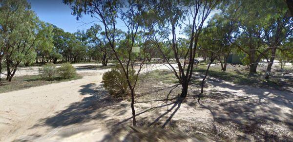
Reddas Park Camping Area toilets have two hot and cold showers each, and are clean and tidy and the nighttime lights are timed by push button. There are 2 powered camping areas, each with a power pole and four outlets. This campground is illuminated at ni ...
Read More...
, , , , ,
The Reedy Creek Camping Area is a basic bush camp, that you need a permit to fly a Quadcopter here. I personally have found quite a few specks of gold along this old alluvial mining area. So grab your Miners licence, and have a go at panning in the creek. ...
Read More...
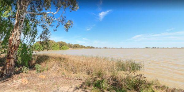
Reedy Lake Apex Park Rest Area
Entrance to the Reedy Lake Apex Park Rest Area Reedy Lake Apex Park Rest Area location map
, ,
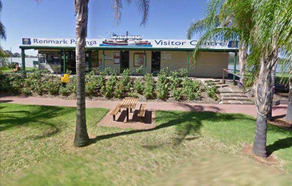
Renmark Paringa Visitor Information Centre
Facilities include:
Tourism information
Theatrette with interpretive displays
Souvenirs
Digital Signage
Internet access
Disabled access
Accommodation enquiries
Booking agents for events and River cruis ...
Read More...
, , ,
From the Richmond Rest Area you can walk over to the lake and pop a line in and see what bites, take a quick paddle around the lake for some exercise, or simple take a walk and stretch your legs for a bit.
Entrance to the Richmond Rest Area
Richmond R ...
Read More...
, , , ,
Ricky Bates Reserve
No Camping permitted at the Ricky Bates Reserve NOTE: There are a few low cost camp sites available not far away, my Dutton bay woolshed, Farm beach. Shelly beach. So you can camp legally, and enjoy what the local area has to offer.
Entrance to the Ricky ...
Read More...
,
Entrance to the Riverlander Caravan Park Riverlander Caravan Park location map
, , , , , , ,
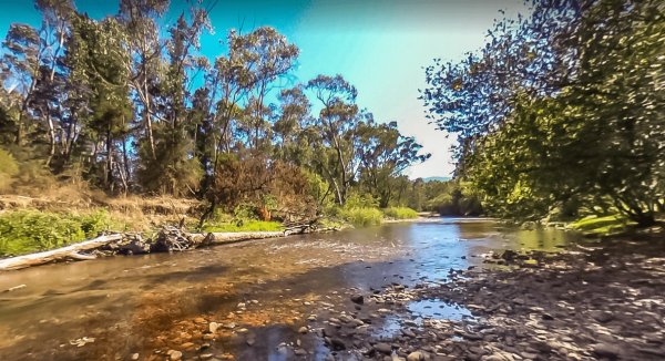
Riverview Caravan Park
Entrance to the Riverview Caravan Park Riverview Caravan Park location map
, , , , , , , , , , , ,
Riverview Family Caravan Park
Entrance to the Riverview Family Caravan Park Riverview Family Caravan Park location map
, , , , , , , , ,
Robin Falls Rest Area
The Robin Falls Rest Area has a natural spring however the little creek does get a little low at the end of the year, and is a nice place for a swim on a hot day, or use your fishing rod to try and catch dinner. (The Robin Falls are approx 1 kilometre fro ...
Read More...
Entrance to the Robinvale Riverside Caravan Park Robinvale Riverside Caravan Park location map
, , , , , , , , ,
Rochester North Rest Area
Entrance to the Rochester North Rest Area Rochester North Rest Area location map
, , ,
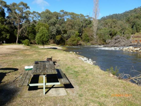
Rock Flat Camping Area
To find the Rock Flat Camping Area is an awesome place to go camping with family. There are long drop toilets, picnic tables and fireplaces with large grassy areas to camp on, use your GPS to navigate to this nice camping area. If you intend to use the fi ...
Read More...
Rocks Crossing Reserve
The Rocks Crossing Reserve is a small spot just off the Nowendoc Road, there are picnic tables and rubbish bins here, plus the Nowendoc River runs behind the reserve, so it might be worth a look. To get to the water, you need to walk down two flights of s ...
Read More...
, , ,
Rose Bay Park Rest Area 12 Hour Limit
The Rose Bay Park Rest Area is a lovely park with shady trees and good playground for kids, plus a skate ramp and Basketball hoops. There is also a public toilet, some undercover picnic tables, rubbish bins and free electric BBQ's . You can easliy walk ov ...
Read More...
, , , , , , , ,
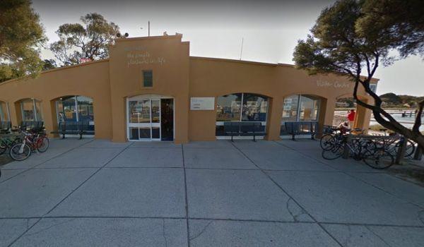
Rottnest Island Visitor Information Centre
Entrance to the Rottnest Island Visitor Information Centre Rottnest Island Visitor Information Centre location map
, ,
The Rowles Lagoon Nature Reserve Camping Area has quite a few waterbirds around the lagoon, so it's a good place to get some wildlife photos. This camping area is well maintained with a public toilet, and quite a few fire pits, you will have no trouble fi ...
Read More...
, ,
The Rubicon Boys Campground is near the scenic Rubicon River and the historic hydro power station. This campground has long drop toilets and can get busy over long weekends, and holidays in general. There are some nice 4x4 tracks to explore, and fishing i ...
Read More...
, , , ,

The Rubicon State forest, Kendalls Camping Area A is close to the Rubicon River and a great free camping site. There are lots of space and choices for campsites that are separated by wooden fences. You'll find undercover picnic tables, fire pits there's a ...
Read More...
Rudds Point Reserve Camping Area
Rudds Point Reserve Camping Area has some picnic tables, and fireplaces and plenty of places to park your caravan close to the Murrumbidgee River. The turn off can be easily missed, so use your GPS and you’ll be OK finding this place.
Entrance to the Rud ...
Read More...
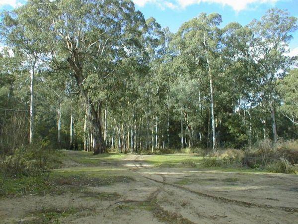
The Running Creek Camping Area has no built fireplaces at this site, so please use a previous campfire site where possible and clean up afterwards please. Running Creek Camping Area location map
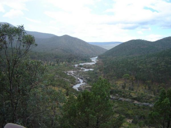
Running Waters Camping Area
At the Running Waters Camping Area you just have to love the experience of camping beside the Snowy River. There is a long drop toilet and a couple of picnic tables and fireplaces with plenty of cut logs. There are plenty of things to capture within the c ...
Read More...
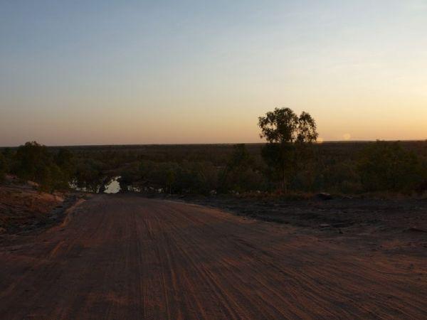
The Russ Creek Camping Area is not far from the Gibb River-Wyndham Road, the campsite is next to a billabong. This is a rough bush camp site where you bring everything you need and take away your rubbish, make certain you have plenty of fresh water if cho ...
Read More...
, , ,
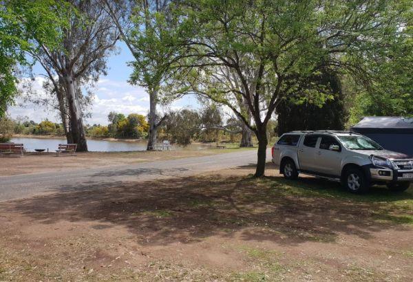
Rutherglen Caravan & Tourist Park
Entrance to the Rutherglen Caravan & Tourist Park Rutherglen Caravan & Tourist Park location map
, , , , ,
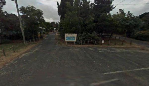
Entrance to the San Remo Foreshore Caravan Park San Remo Foreshore Caravan Park location map
, , ,
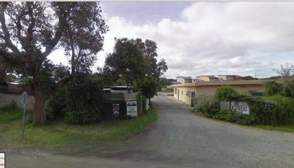
Sandy Point Holiday Park
Entrance to the Sandy Point Holiday Park Sandy Point Holiday Park location map
, , , , , , ,
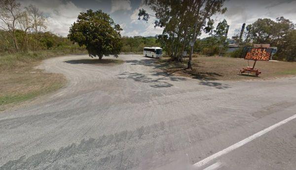
The Apex Park is on the Opposite side of the road. which also has parking but its a bit harder for caravans to get in and out of. This is a nice site on the banks of Pine Creek.
Entrance to the Sarina Apex Park Rest Area
Sarina Apex Park Rest Area loc ...
Read More...
, , , ,
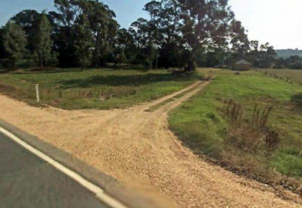
Entrance to the Sarsfield Rest Area Sarsfield Rest Area location map
, , ,
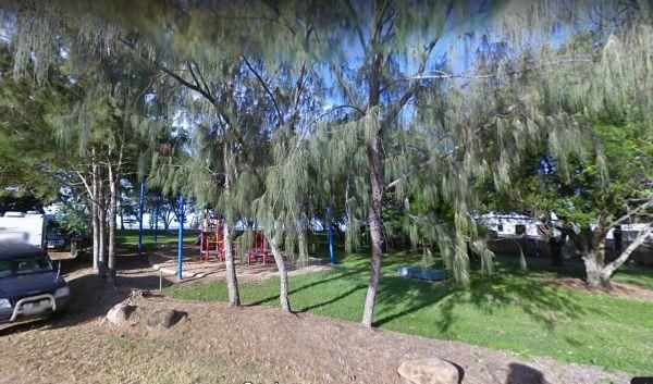
Saunders Beach Park Rest Area 48 Hour Limit
When stopping at the Saunders Beach Park Rest Area bear in mind the maximum number of stays at any of these sites is 48 hours once per week. Council officers routinely visit camping areas to check on how long people have stayed. If it is found that camper ...
Read More...
, , , , ,
Sawpit Gorge Camping Area 72 Hour Limit
The Sawpit Gorge Camping Area is a bit off the beaten track with sections of the road quite rocky, a 4x4 or high clearance AWD will get you here. The gorge is an amazing, peaceful and thoroughly tranquil place and the swimming hole, is one of the coldest ...
Read More...
, , ,
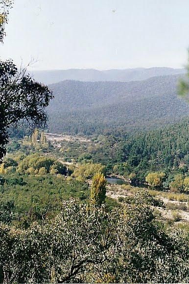
Scotchies Yard Camping Area - Permanently Closed
Permanently Closed Scotchies Yard Camping Area is another great spot for your camera, with plenty of walks and spots to drop the kayak on the water and lots of fishing spots as well. Scotchies Yard Camping Area location map
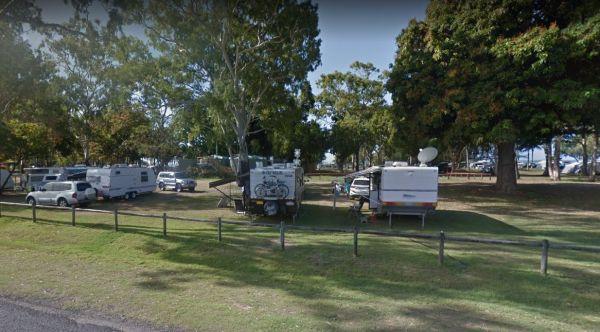
The Seaforth Foreshore Reserve Camping Area has a camp kitchen, toilets, showers, BBQ, powered and unpowered sites, washing machines, easy access to the beach, even outside showers Bookings are advised for peak periods. Seaforth - Booking office is locate ...
Read More...
, , , , , , , ,
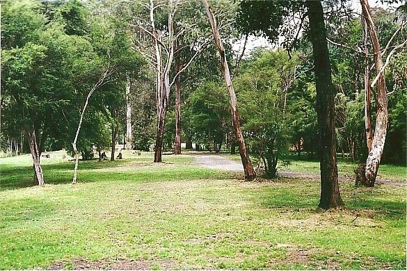
The Sennis Campground is a quiet spot with a couple of long drop toilets and a lovely creek which meanders around the outskirt of the camping ground. This campground is located on the Tyers River, and has plenty of wildlife visiting this campsite, includi ...
Read More...
, , ,
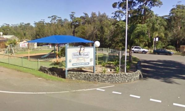
Entrance to the Seven Mile Beach Holiday Park Seven Mile Beach Holiday Park location map
, , , , , , , , , ,
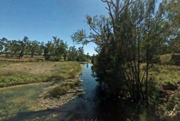
The Severn River Rest Area Site has been upgraded since and I don't have a current photo, so Old photos used. The Severn River is within easy walking distance for those interested in fishing, photography and of cause the kayak.
Entrance to the Severn Riv ...
Read More...
, , ,
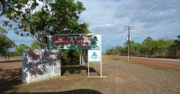
Entrance to the Shady Lane Tourist Park Shady Lane Tourist Park location map
, , , , , ,
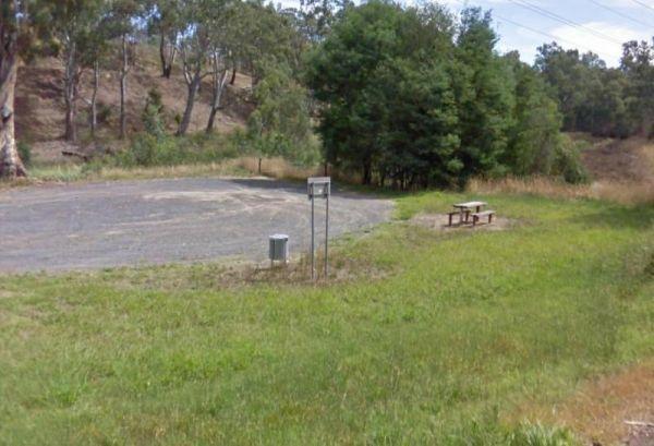
Sheepwash Lagoon Rest Area
Entrance to the Sheepwash Lagoon Rest Area Sheepwash Lagoon Rest Area location map
,
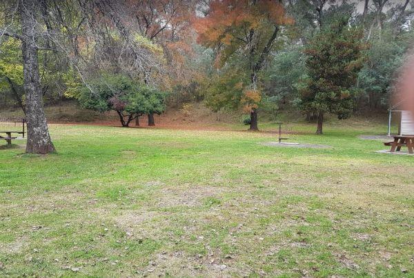
Sheepyard Flat Camping Area
The Sheepyard Flat Camping Area is a lovely quiet and relaxing campsite that has plenty of grassy areas to choose from on the banks of the Howqua River. For the fishermen amongst us, the river seems to only hold carp, but I could be wrong. To get to the c ...
Read More...
The Sheringa Beach Camping Area has a series of parking bays, each within easy walking access to beach for fishing and surfing, there is a public toilet onsite. Sheringa Beach Free Camping Area location map
,
Entrance to the Sherlock River Rest Area Sherlock River Rest Area location map
, , ,
Shoalhaven Heads Holiday Park
Entrance to the Shoalhaven Heads Holiday Park Shoalhaven Heads Holiday Park location map
, , , , , , , , , , , , ,
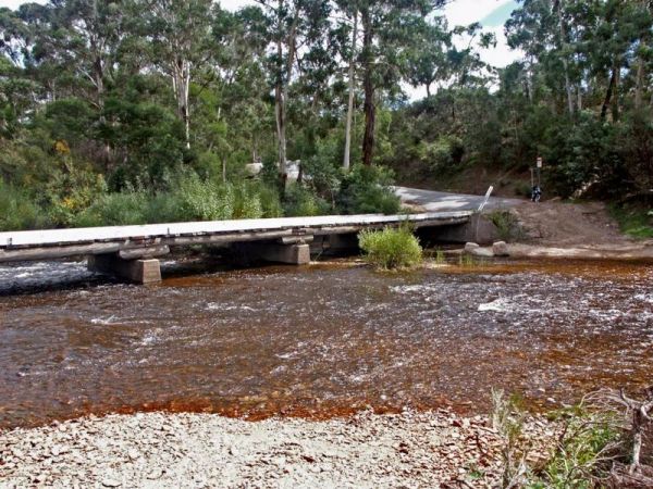
The Shoalhaven River Crossing, is a nice place to take a swim and gold pan. There are no facilities, or camping amenities, but it's a great stretch your legs and maybe catch a fish for dinner, or some gold in your pan after a day of fossicking.
Entrance ...
Read More...
Entrance to the Shoalhaven Zoo - Campsite Shoalhaven Zoo - Campsite location map
, , , , , ,
Sisters Beach Foreshore Parking Area
The Sisters Beach Foreshore Parking Area is a pleasant day stopover, with the foreshore only a few steps away from the car park, and a nice place to enjoy a picnic.
No Camping Permitted
Entrance to the Sisters Beach Foreshore Parking Area
Sisters Bea ...
Read More...
, , , , ,

Skenes Creek Beachfront Park
Entrance to the Skenes Creek Beachfront Park Skenes Creek Beachfront Park location map
, , , , , , , , , , ,
Skinners Flat Rest Area
Skinners Flat Rest Area 360 Skinners Flat Rest Area location map
, ,
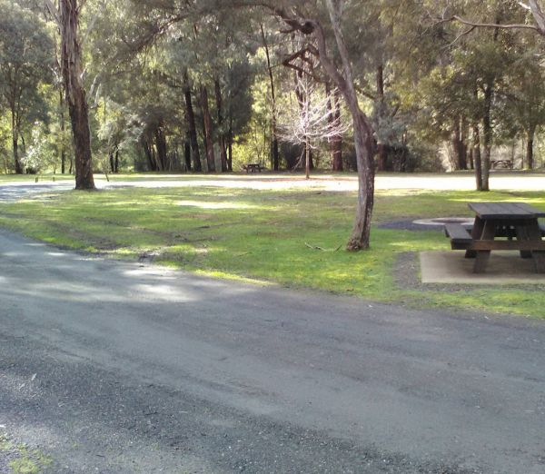
Entrance to Skipworth Reserve Skipworth Reserve Location Map
, , , , ,
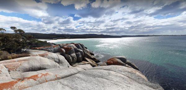
Sloop Reef Camping Area
Sloop Reef Camping Area is a basic bring everything including the kitchen sink and take away your rubbish when you leave place. Entrance to the Sloop Reef Camping Area Sloop Reef Camping Area location map
,
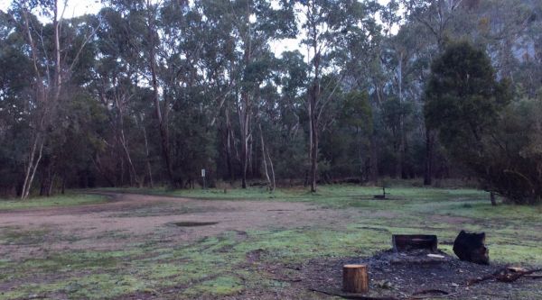
Entrance to Smoko Smoko Location Map
, , , ,
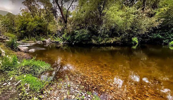
Snowy Creek Campground
The Snowy Creek Campground is located on the banks of the Snowy, with Brown and Rainbow Trout, Redfin, Yellow Belly, Blackfish.Creek, and Murray Cod waiting to be caught. There is a public toilet and picnic tables at this camp. Other activities include bu ...
Read More...
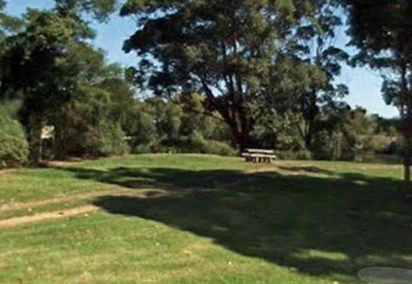
Entrance to the Snowy River Rest Area No 1 Snowy River Rest Area No 1 location map
, , ,
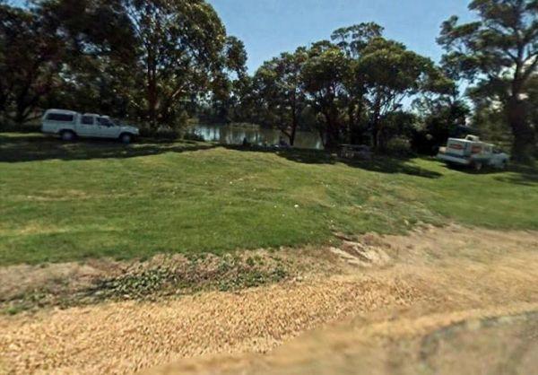
Entrance to the Snowy River Rest Area No 2 Snowy River Rest Area No 2 location map
, , ,
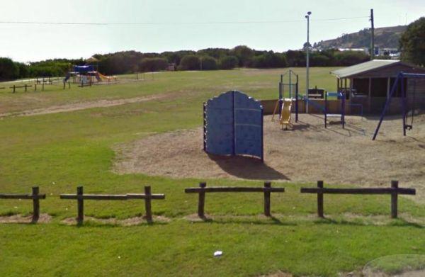
At the Somerset Memorial Park let the kids go wild on the playgrounds, or you can take a short stroll down along the beach, the choice is yours. Entrance to the Somerset Memorial Park Somerset Memorial Park location map
, , , ,
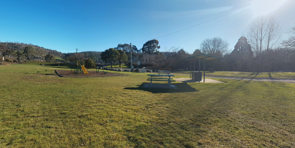
The South Esk Lions Park Rest Area is set on the Banks of the South Esk River, a nice spot for a picnic, you could try your hand at fishing, drop your kayak in, or use the boat ramp if you prefer.
Entrance to the South Esk Lions Park Rest Area
South E ...
Read More...
, , , , ,
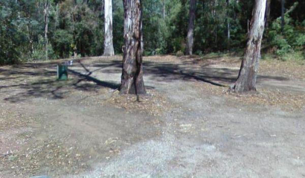
Spellmans Reserve
The Spellmans Reserve is a small area next to a stony Wilmot River with a few deep holes, with the possibility of a trout or two lurking in them. Entrance to the Spellmans Reserve Spellmans Reserve location map
, ,
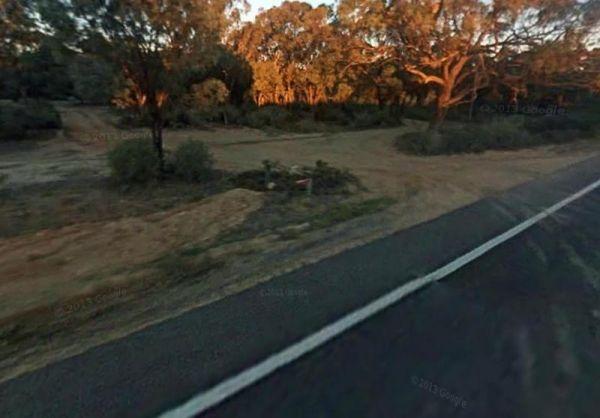
The Spencers Bend Camping Area is a tight squeeze for caravans, and more suited to camper trailers and tents. Spencers Bend Camping Area location map
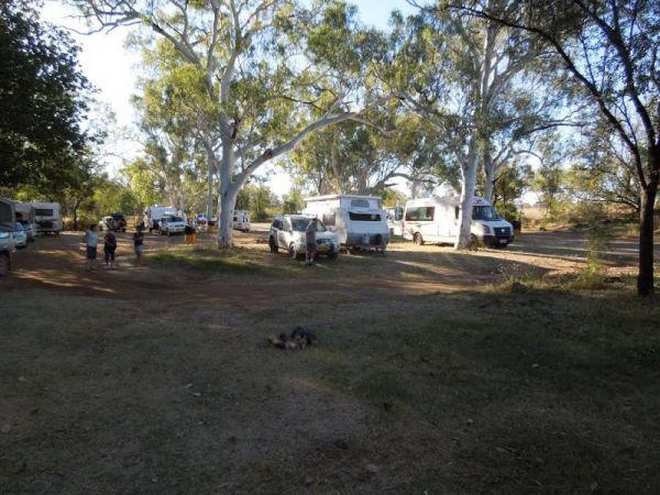
Entrance to the Spring Creek Rest Area Spring Creek Rest Area location map
, , , , , ,
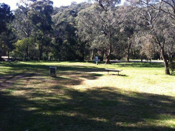
Stacey Bridge Camping Area
The Stacey Bridge Camping Area is next to the beautiful Wheeler Creek, there's two sites on either side of the road, with plenty of space your caravan. There's well maintained long drop toilets, fire pits, picnic tables. The Wheeler Creek is good for fly ...
Read More...
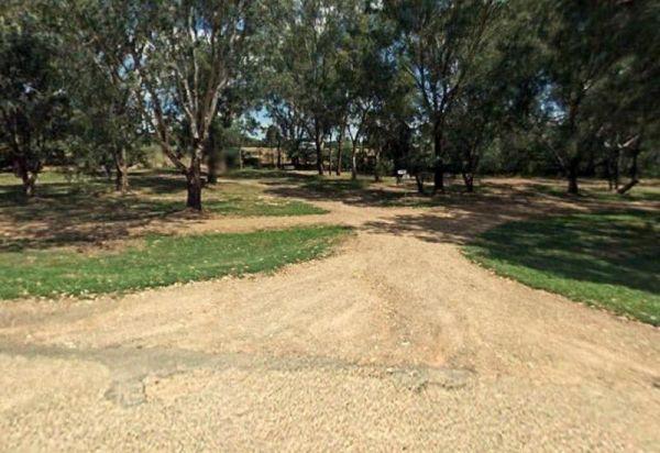
Entrance to the Stan Allen Reserve Rest Area Stan Allen Reserve Rest Area location map
, , ,
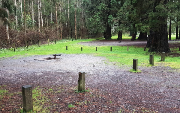
Stevenson Falls Scenic Reserve Rest Area
Stevenson Falls Scenic Reserve Location Map View Larger Map
, , , , ,
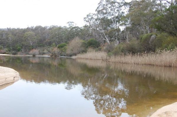
The Stewarts Crossing Camping Area is a large camping ground on the Shoalhaven River to the north of Braidwood. There are long drop toilets and lots of spots to camp. This is a rather sandy area so 4x4 if towing a lightweight van is a good idea.
Generall ...
Read More...
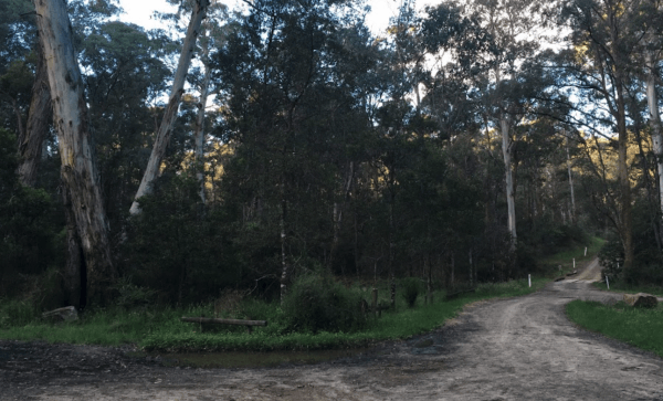
Stockmans Reward Camping Ground is a well set up camp ground with fire pits and a long drop toilet sand good access to water at Arnold Creek. There is a fair amount of suitable areas to camp at. You can get a small camper trailer in, but it's more suited ...
Read More...
, , , , ,
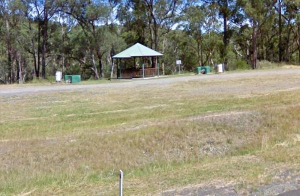
Entrance to the Stoney Creek Rest Area Stoney Creek Rest Area location map
, , ,
Straneys Bridge Camping Area
When stopping at the Straneys Bridge Camping Area, apart from fishing or a rest from driving there's not much else to be had here. Entrance to the Straneys Bridge Camping Area Straneys Bridge Camping Area location map
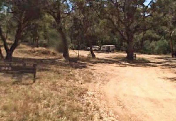
Suggan Buggan Campground
When going to Suggan Buggan Campground, be a bit wary if you intend to take a caravan to this place, it is a bit hilly, Once there pop over and have a look at the Old Schoolhouse, remember to take your camera with you.
Entrance to the Suggan Buggan Campg ...
Read More...
Entrance to the Surf Beach Holiday Park Surf Beach Holiday Park location map
, , , , , , , , , ,
To get to the Surry Ridge Picnic and Camping Area you need to travel down narrow dirt roads which means it's more suitable to small campervans and car based camping. Surry Ridge Picnic and Camping Area location map
Surveyors Memorial Reserve Rest Area
The Surveyors Memorial Reserve Rest Area is the actual Memorial to Tasmania's Early Surveyors, Lyell Highway, is located in a small cut-out on the other-side of the bridge.
Entrance to the Surveyors Memorial Reserve Rest Area
Surveyors Memorial Reserv ...
Read More...
, ,
Swaggies Beach Camping Area
The Swaggies Beach Camping Area can be a bit hard to find unless you use GPS with off road maps is a great help in finding camping spots like this one. Swaggies Beach Camping Area location map
The Swan Brook Rest Area is a nice location next to a small creek, no large truck access but ample room for large rigs. With a public toilet with wheelchair access, undercover picnic table, wood fired bbq and rubbish bins next to the Swan Brook for fishin ...
Read More...
, , ,
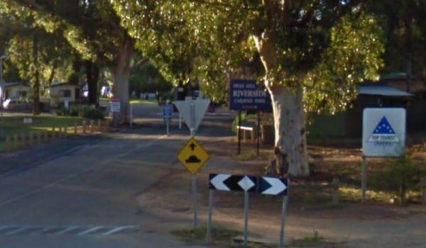
Entrance to the Big4 Swan Hill Riverside Caravan Park Big4 Swan Hill Riverside Caravan Park location map
, , , , , , , , , , , , ,
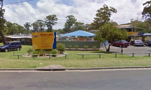
Entrance to the Swan Lake Holiday Park Swan Lake Holiday Park location map
, , , , , , , , , , , , , , ,
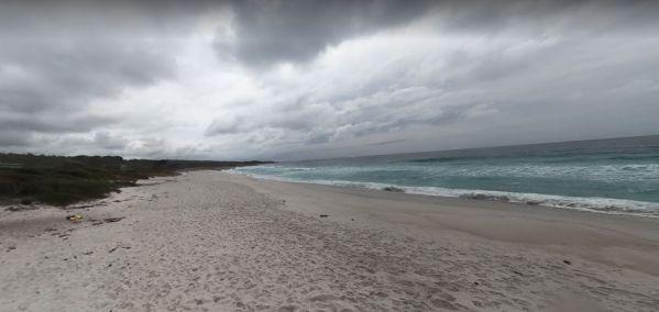
Swimcart Beach Camping
Swimcart Beach Camping Area is a beautiful free camp close to white sandy beaches and rocks with lots of spots to choose from, and it's just a short walk to the beach, overall it's a nice place to sit and relax for a while.
Swimcart Beach Camping Area lo ...
Read More...
, ,
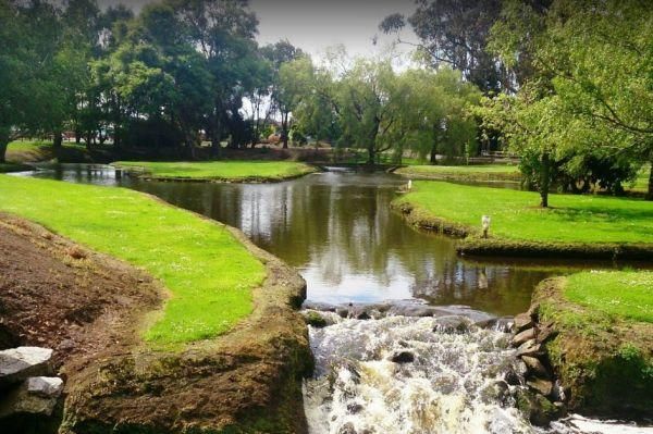
Tall Timbers Tasmania, welcome you and your fully self-contained vehicle for maximum stays of up to 72 hours in any 14 day consecutive period.
Your visitors are welcome but out of respect to our other guests should not be in the park after 10pm or before ...
Read More...
, , , , , , , ,
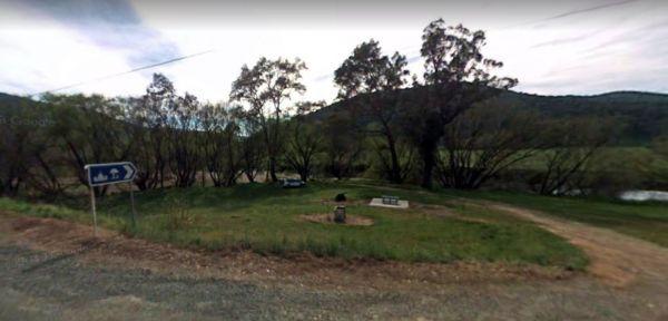
Entrance to the Tallandoon Rest Area Tallandoon Rest Area location map
, , ,
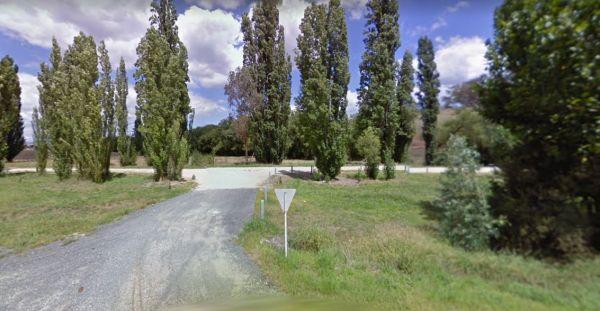
Entrance to the Tallangatta Creek Rest Area Tallangatta Creek Rest Area location map
, , ,
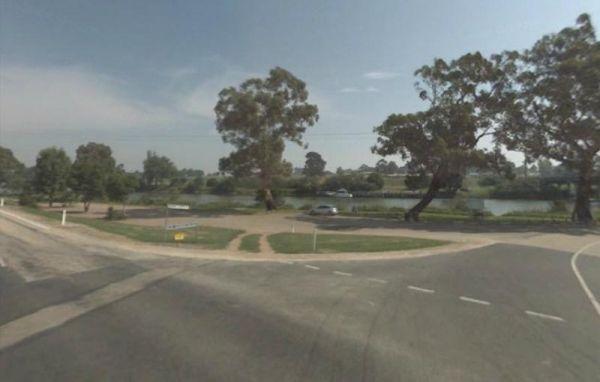
Tambo River Swan Reach Rest Area
Entrance to the Tambo River Swan Reach Rest Area Tambo River Swan Reach Rest Area location map
, ,
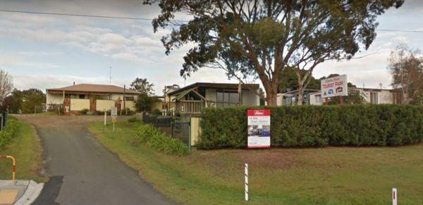
Tambo River Tourist Park
Entrance to the Tambo River Tourist Park Tambo River Tourist Park location map
, , , , , , , , ,
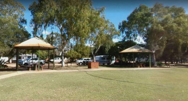
From the Tambo Wetland Reserve Rest Area enjoy the view and count the birds and wildlife that is attracted to this lake system. P.S. It's a fair walk to the local eatery
Entrance to the Tambo Wetland Reserve Rest Area
Tambo Wetland Reserve Rest Area l ...
Read More...
, , ,
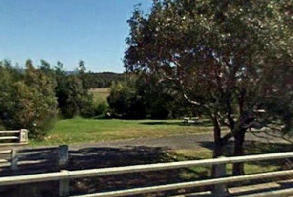
Entrance to the Tarra River Rest Area Tarra River Rest Area local map
, , ,
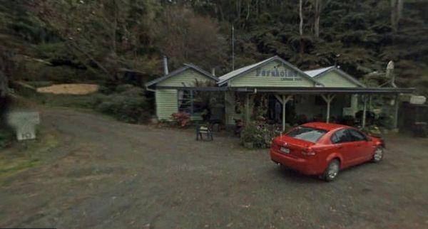
Tarra Valley Caravan Park
Entrance to the Tarra Valley Caravan Park Tarra Valley Caravan Park location map
, , , , , , , , ,
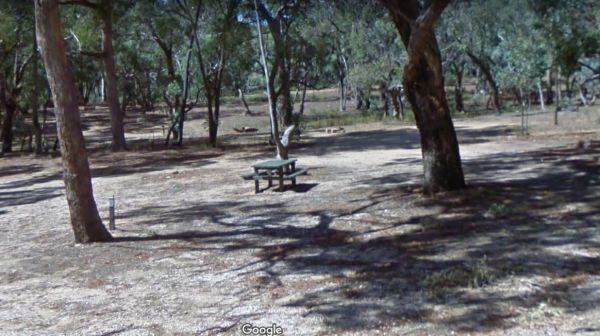
Teddington Reservoir Camping Area
When at Teddington Reservoir Camping Area, is an absolutely beautiful spot with flushing toilets, some fire pits, and quite a few places to choose a campsite for a day or two, there's plenty of wildlife passing by. You can walk over and take a look at the ...
Read More...
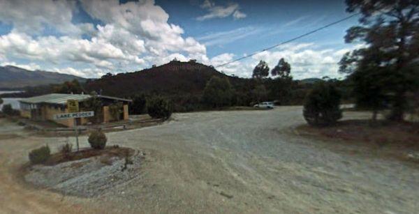
Teds Beach Camping Area
Teds Beach Camping Area has Free Electric BBQ, Boat Ramp, Great Views. Take an easy stroll along the walkway to get some great photos to remember this spot you visited on the Lake Pedder foreshore.
Entrance to the Teds Beach Camping Area
Teds Beach Ca ...
Read More...
, , , ,
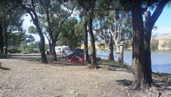
Tenbury Hunter Reserve
The Tenbury Hunter Reserve has public toilets, fire pits & ferry to Swan Reach. It appears this is no longer a Free Campsite, and fees now apply if you intend to stay here.
Could someone please confirm that a small fee now applies to stay here?
Entr ...
Read More...
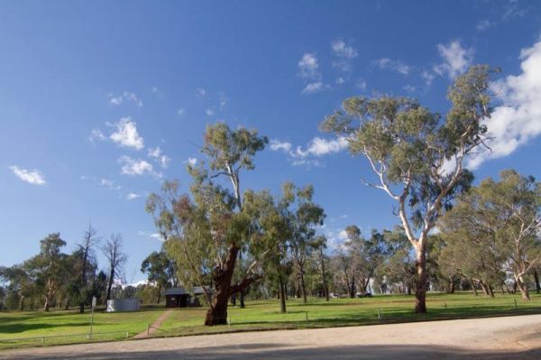
Terramungamine Reserve 24 Hour Limit
The Terramungamine Reserve is a great free place to camp right next to the river. It's great for swimming, water actives, canoes, kayaks etc. and for those who like fishing, Murray Cod and Golden Perch. The reserve is set well back from the main road, wit ...
Read More...
, , , , , ,
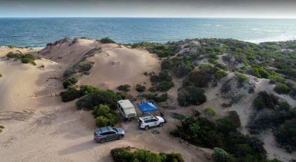
The The Bamboos Camping Area looks sheltered but you get a lot of sand/dirt blowing around on a windy day and is not really suited for caravans, but ideal for small camper trailers.
Camping permit is required to camp here, however there are no camping fe ...
Read More...
,
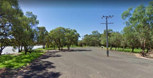
Entrance to the The Bert Dix Memorial Park The Bert Dix Memorial Park location map
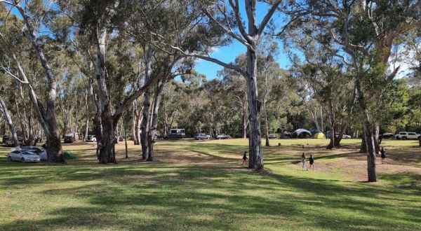
The Fort O'Hare Camping Area has large campsite with built in fire pits with bbq plate, a public drop toilet and picnic tables, located on the banks of the Glenelg River, pet friendly.
You will also find an Honesty box at the local store for camp fees. W ...
Read More...
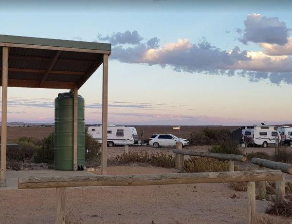
The Gap Camping Area overlooks the Spencer Gulf, with a few nice spots to camp at.A Camping permit is required if you intend to stay here. Entrance to The Gap Camping Area The Gap Camping Area location map
,
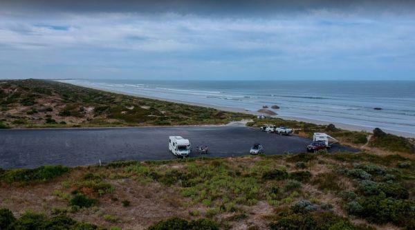
The Granites Parking Area is a popular spot for fishermen with the open Ocean within easy walking distance. Remember to bring everything you need and take your rubbish with you when you leave.
Entrance to The Granites Parking Area
The Granites Parking ...
Read More...
, ,
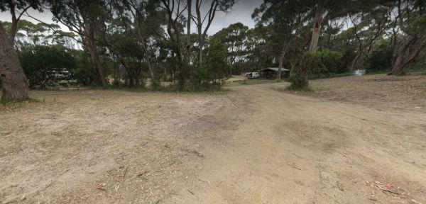
The Neck Camping Area
The Neck Camping Area is run by Parks Tas, with beach access only a short distance away. Enjoy your surroundings and walk to the beach. Be sure to check out the boardwalk viewing platforms. Keep an eye open for penguins around dusk, as the inhabit burrows ...
Read More...
, , ,
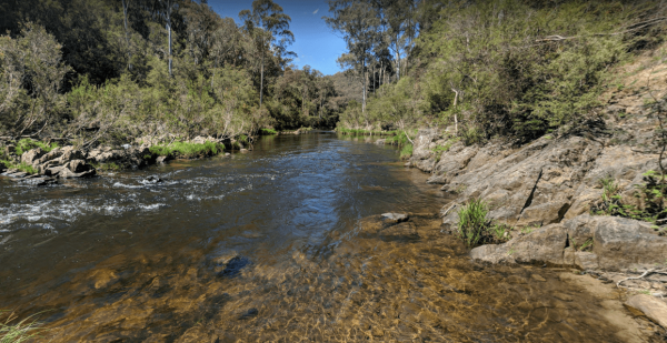
Entrance to The Pines Campground The Pines Campground location map
, ,
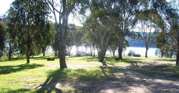
The Pines Camping Area is a beautiful waterfront location that gets packed during the long weekends. Great camping spot with longdrop toilets and grassed areas with fire places just off the bitumen road. There are a few walks available for those who like ...
Read More...
, , ,
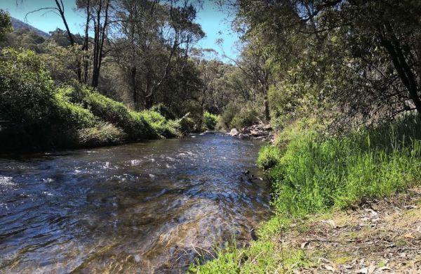
The Walnuts Campground
Entrance to the Walnuts Campground Walnuts Campground location map
, , ,
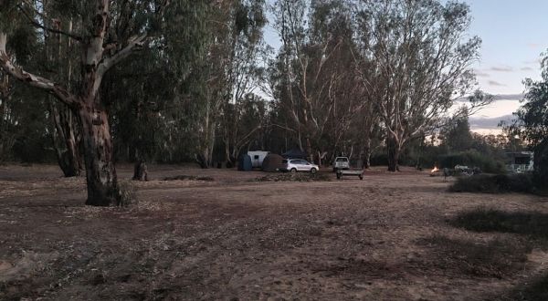
The Thiele's Sandbar Camping Area is a great free camping spot with sandy river access and easy canoe launching, and popular with locals and visitors. Better to keep back a bit in the scrub if you have a van.
Thiele's Sandbar Camping Area location map ...
Read More...
When at the Tia River Rest Area walk over to the Tia River and try your luck at angling. There is an undercover picnic table with wood fired bbq, and some rubbish bins. Entrance to the Tia River Rest Area Tia River Rest Area location map
, , , , ,
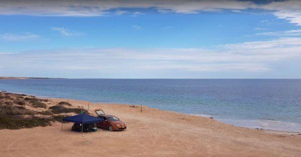
The Tiparra Rocks Camping Area overlooks the Spencer Gulf, a few nice spots to camp at. You need a free permit to camp here. Tiparra Rocks Camping Area location map
,
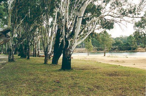
Tocumwal Regional Park Apex Beach Camping Area location map
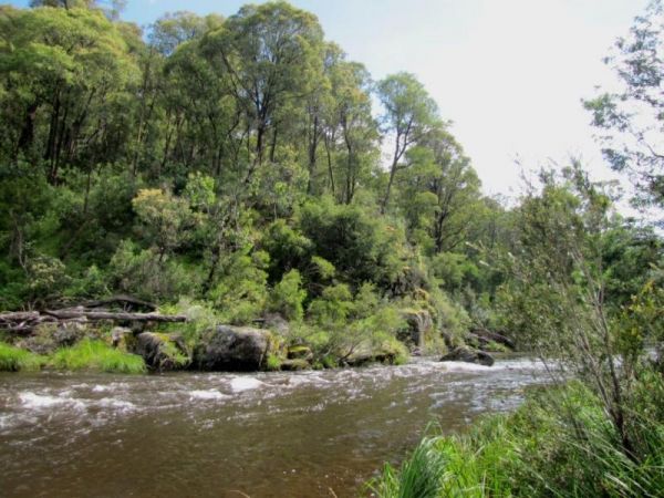
Tom Groggin Camping Area
Tom Groggin Camping Area, is a lovely location nestled right on the Murray River, NSW side and a great place to camp with toilets and lots of room to spread out on level ground. You will share your camp with eastern grey kangaroos. Emus, echidnas, brush-t ...
Read More...
Entrance to the Tooleybuc Park Tooleybuc Park location map
, , , ,
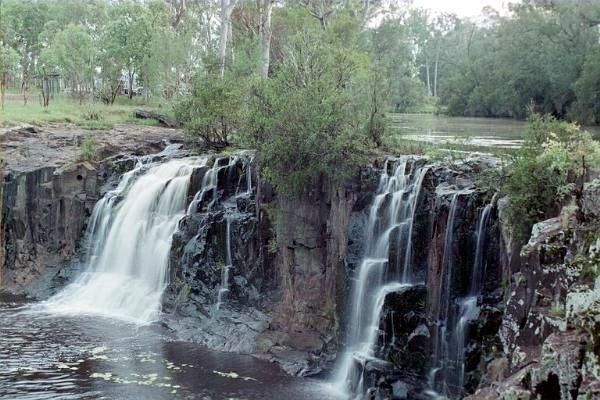
Tooloom Falls Camping Area
The Tooloom Falls Camping Area has a drop toilet and some basic facilities, with the main attraction being the waterfall. There’s a few picnic benches dotted around (some covered) and also fire pits. Tooloom Falls Camping Area location map
The Toomulla Beach Foreshore Reserve is located in Toomulla which is a small township approximately 47 kilometres north-east of Townsville, Queensland, Australia. At the 2006 Census, the population of Toomulla was 141. Located 2 kilometres north of the Br ...
Read More...
, , , , ,
Entrance to the Tooradin foreshore camping Tooradin foreshore camping location map
, , , , ,
The Toorongo Falls Camping Area provides bush camping sites near the Toorongo River. Camping sites are available on a first come, first served basis and no booking is required.
Directions: From the Noojee Township head east for 4kms, then turn left onto ...
Read More...
, , ,
Entrance to the Torquay Taylor Park Rest Area Torquay Taylor Park Rest Area location map
, , , ,
Towong Reserve Camping Area
The Towong Reserve Camping Area is located next to the Murray River with some trees for shade and a large grassy area, this a nice spot to try your hands at fishing in the Murray River. Towong Reserve Camping Area location map
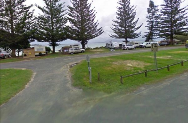
Trial Bay Gaol campground
At Trial Bay Gaol Campground the camp kitchen and toilets were very clean, hot showers are also available but on a timer. The unpowered sites are right on the beachfront, with the occasional kangaroo grazing nearby. There are also a few powered sites avai ...
Read More...
, , , , ,
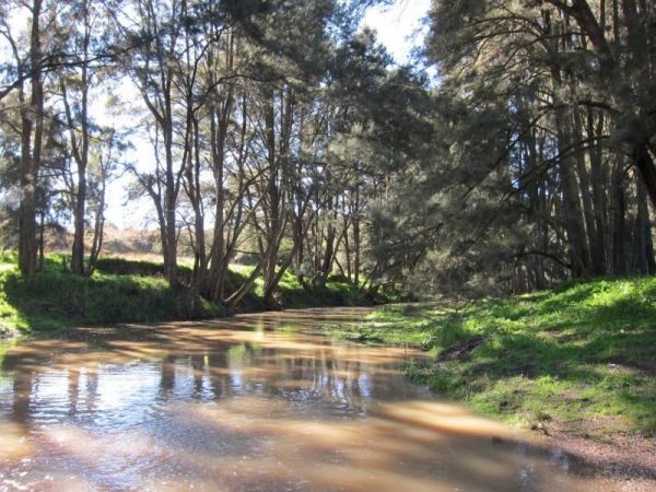
Entrance to the Tuena Camping & Picnic Ground Tuena Camping & Picnic Ground location map
, , , ,
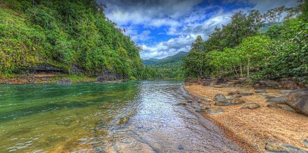
You will need Camping permits to stay at Tully Gorge National Park Camping grounds, they are available both online and at the park. We advise you book in advance to avoid disappointment. Generator use is permitted between 9.00 am and 12.00 noon and only i ...
Read More...
, , , ,
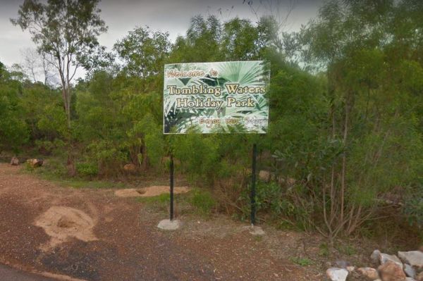
Tumbling Waters Holiday Park
Entry to the Tumbling Waters Holiday Park Tumbling Waters Holiday Park location map
Tunnel Bend Camping Area
Tunnel Bend Camping Area 360 Tunnel Bend Camping Area location map
Entrance to the Tunnel Bend Reserv Camping Area Tunnel Bend Reserve Camping Area location map
The Twelve Mile Reserve Camping Area has level camping areas, with long drop toilets and good access to the Goulburn River where it's safe to swim. This is a place to test out the kayak, or have a go at some fishing.
Entrance to the Twelve Mile Reserve C ...
Read More...
Two Mile Creek camping ground
Two Mile Creek camping ground is 7kms from Dargo, via the Dargo - Omeo Road beside creek and winding dirt road. There is a drop toilet, but you will need to bring everything else you need. Two Mile Creek camping ground location map
The Vennells Camping Area Upper is a nice campsite, but be warned, there is some broken glass in the river. There is not a lot of tent space available and best suited to 4x4's vehicle camping. Vennells Camping Area Upper location map
Vennells Camping Ground Lower location map
Victor Harbor Visitor Information Centre
Entrance to the Victor Harbor Visitor Information Centre Victor Harbor Visitor Information Centre location map
, ,
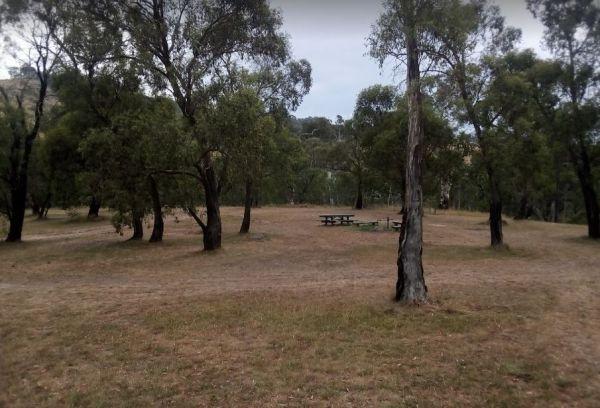
The Victoria Falls Campground is a beautiful little sheltered campground, with a public long drop toilet and good grassy areas. It has a lovely bubbling creek with small trout to be caught. There are large areas to park your caravan, with fire pits and pi ...
Read More...
Village Green Camping Area
At the Village Green Camping Area, you can go grab a beach rod and try your luck at catching dinner from Bass Strait. Village Green Camping Area location map
, ,
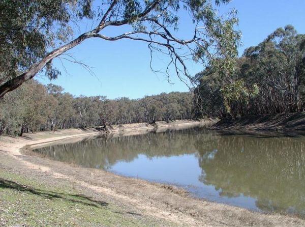
The Vinifera State Forest Camping Area does not have a lot of places that you can turn around, when towing your caravan into this site. Vinifera State Forest Camping Area location map
, , ,
Walker Flat Boat Ramp Reserve
The Walker Flat Boat Ramp Reserve is a nice place to drop your kayak into the Murray. Walker Flat Boat Ramp Reserve Location Map Entrance to the Walker Flat Boat Ramp Reserve
, , , ,
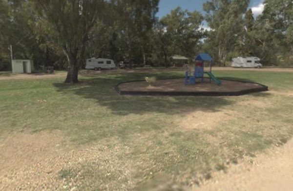
Wallabadah Rest Area
At the Wallabadah Rest Area you can take a short stroll along the banks of the Quinndi Creek NOTE: Onsite Public Toilets close at 5:00 pm. Entrance to the Wallabadah Rest Area Wallabadah Rest Area location map
, , , , ,
From the Wallacetown Rest Area you can walk over to the shop and grab a few things and ask what’s in the area worth visiting. Entrance to the Wallacetown Rest Area Wallacetown Rest Area location map
, , , , ,
Wallaroi Creek Rest Area
Entrance to the Wallaroi Creek Rest Area Wallaroi Creek Rest Area location map
, , ,
Entrance to the Warburton Caravan Camping Park Warburton Caravan Camping Park location map
, , , , , , , , , ,
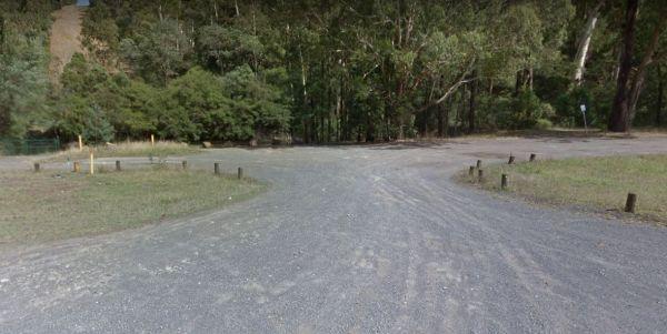
Warburton East Rest Area
Entrance to the Warburton East Rest Area Warburton East Rest Area location map
, , ,
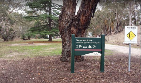
The Warburtons Bridge is a nice spot with Loddon River running at the back of it. It's mainly a level camping area with a few large river gum trees, and a long drop toilet and lots of picnic tables and fire pits. There are a few walking goldfield tracks t ...
Read More...
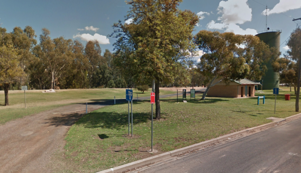
Warren Park Rest Area
Entrance to the Warren Park Rest Area Warren Park Rest Area location map
, , , , ,
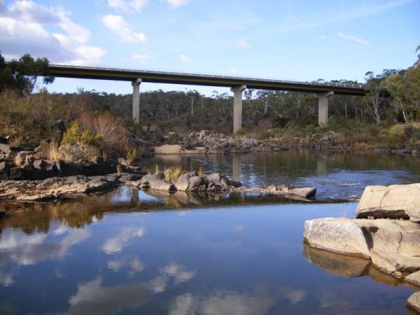
The Warri Camping Reserve is a great area to camp close the Shoalhaven River with some road noise during the day but quiet at night.
Access to some sites are better suited to off road setups, but there are plenty of sites accessible for most. The campgro ...
Read More...
Waterhouse Point Camping Area 30 Hour Limit
At the Waterhouse Point Camping Area, you can relax and listen to the waves break on the sandy shore. Then grab a bite to eat and head off with your beach fishing gear, and camera of cause.
P.S. The water is quite shallow close to shore. So I suggest you ...
Read More...
, ,
The Watts Bend Camping Area has quite a few places to choose from, but remember to bring everything you need, and take away your rubbish. Watts Bend Camping Area location map
The Wauraltee Beach Camping Area overlooks the Spencer Gulf, a few nice spots to camp at. Make sure you obtain a permit first, Use the Website Link on this page to apply for one.
Camping permit required (no camping fees apply)
Entrance to the Wauraltee ...
Read More...
, ,
The Wells Crossing Rest Area is a popular and well known fishing spot on the Severn River, so expect company when stopping here. Wells Crossing Rest Area location map
, ,
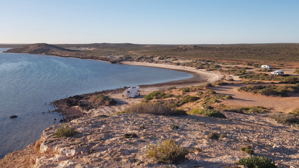
Entrance to Whalebone Bay Rest Area Whalebone Bay Rest Area Location Map
,
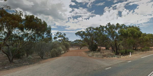
White Wells Rest Area
Entrance to White Wells Rest Area White Wells Rest Area Location Map
, , ,
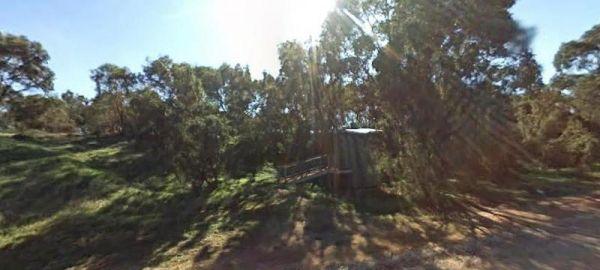
The Whitecliff Reserve Camping Area is a great little camping area with drop toilet and rubbish bins with shady campsites by a river that has a swimming hole.
Entrance to the Whitecliff Reserve Camping Area
Whitecliff Reserve Camping Area location map ...
Read More...
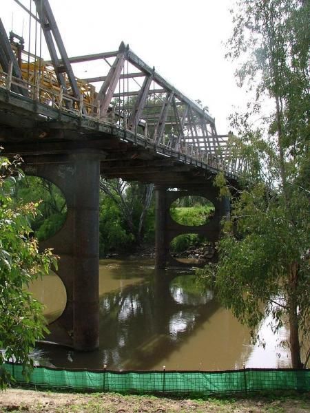
Wilks Park Rest Area 72 Hour Limit
The Wilks Park Rest Area is a lovely camping spot within walking distance to shopping centres. There are flushing public toilets with a hair dryer, and dump point, rubbish bins, potable water, there is also a bicycle way through the park with camping with ...
Read More...
Willie Creek Rest Area Location Map
,
The Willow Park Free Camping area is located approximately 1km North of Rosedale alongside Latrobe River, undercover picnic tables, bbq, and public toilets, with lots or room to park motorhomes and caravans.
There is a 24 Hour Limit imposed to camp here. ...
Read More...
Winchelsea Park Rest Area
Entrance to the Winchelsea Park Rest Area Winchelsea Park Rest Area location map
Entrance to the Wingham Riverside Reserve Overnight Parking location map Wingham Riverside Reserve Overnight Parking Location Map
, , , , , ,
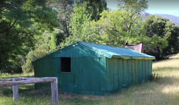
Wonnangatta Valley Camping Area
The Wonnangatta Valley Camping Area has river access and large flat areas to camp, and quite a bit to see here. Pop over to the small Cemetery and pay your respects to some of the districts Pioneers. Wonnangatta Valley Camping Area location map
Entrance to the Wood Wood Rest Area Wood Wood Rest Area location map
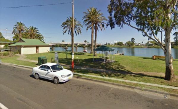
When stopping at the Woodburn Park Rest Area you can pop over the road to the take away or you can have a go at catching your own dinner in the Richmond River. Entrance to the Woodburn Park Rest Area Woodburn Park Rest Area location map
, , , ,
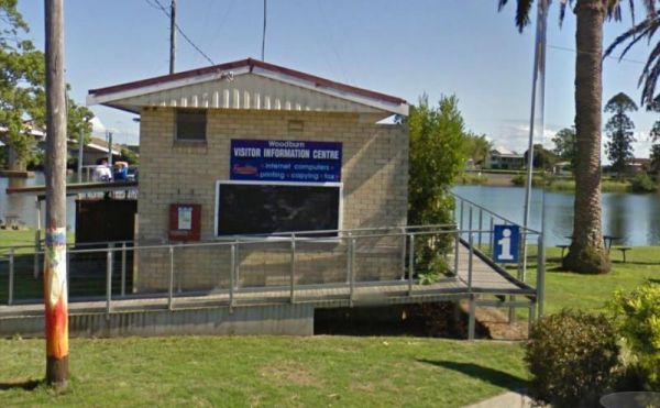
Woodburn Park Visitor Information Centre
Open Hours:Monday to Friday 8.30am to 3.30pmSaturday and Sunday 9am - 4pm
Located on the bank, of the Richmond River.
Entrance to the Woodburn Park Visitor Information Centre
Woodburn Park Visitor Information ...
Read More...
, , ,
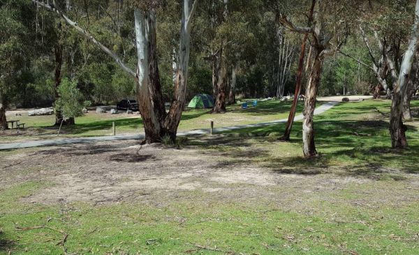
Woods Reserve
To camp at the Woods Reserve camping area, you must pre-book online first, otherwise you will not be able to stay here.
There are some fire pits, bbqs, and public toilets and showers with hot water available and a sink is provided for washing up, and thi ...
Read More...
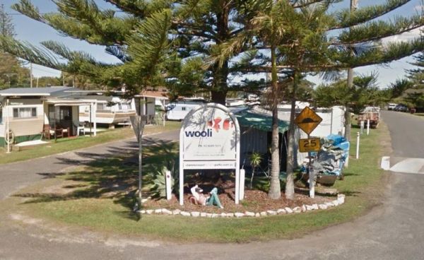
The Wooli Caravan Park is a tidy little park located between the Wooli Wooli River and the open Ocean. Try and get a campsite facing the river, that way you'll get great uninterrupted sunsets.
{tab title="Local Places to Eat" class="grey"}
Harry's Chi ...
Read More...
, , , , ,
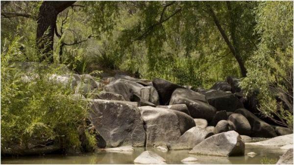
Woolridge Fossicking Camping Area
The Woolridge Fossicking Camping Area is a nice scenic and peaceful stop to try your hand at finding gold or gems near the Rocky River. This is a popular spot and, not a lot of level parking available, so make sure you have some levelling blocks with you. ...
Read More...
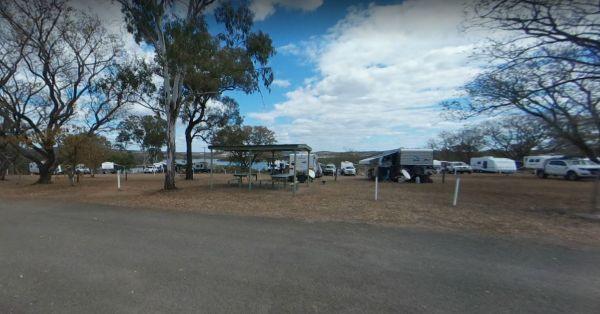
Wuruma Dam Rest Area 14 Day Limit
The Wuruma Dam Rest Area is a popular spot for us Grey Nomads, take your kayak off the roof and go for an exploratory paddle and maybe drag a fishing line behind just in case. There is a 14 Day maximum limit for all campers.
Wuruma Dam Rest Area location ...
Read More...
, , , , ,
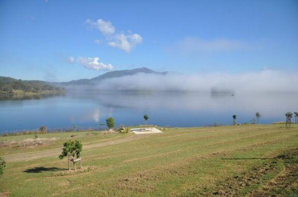
The Wyaralong Dam Camping Area with easy access to picnic tables, and bbqs there are two camping areas available.
The lilybrook Recreation Area and Ngumbi campsite have a public toilet, cold showers, water tanks, bbq's, undercover picnic tables and a chi ...
Read More...
, , , , , ,
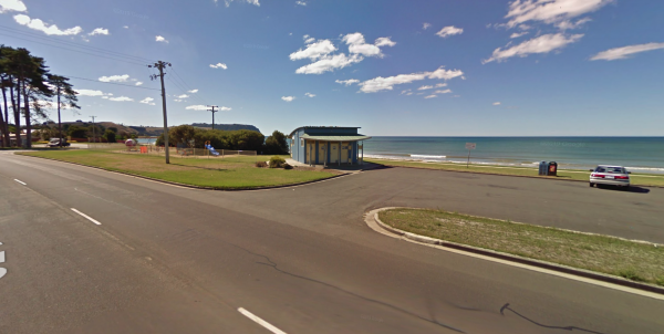
The Wynyard Foreshore Parking Area is a quiet beach front day parking area, with good facilities, and will keep the kids entertained for a while in the playground area. Entrance to the Wynyard Parking Area Wynyard Parking Area Location Map
, , , ,
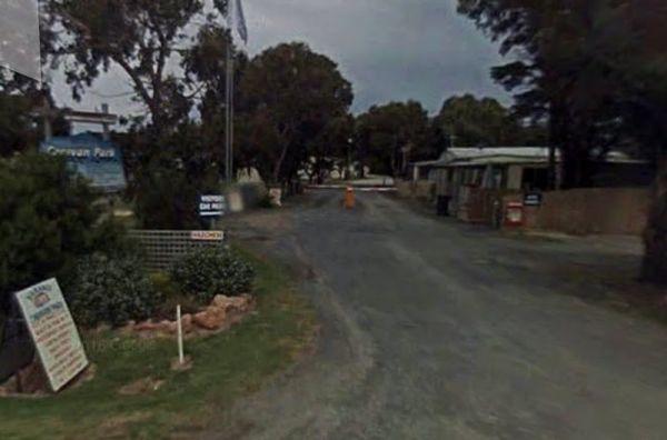
Entrance to the Yanakie Caravan Park Yanakie Caravan Park location map
, , , , , , , , ,
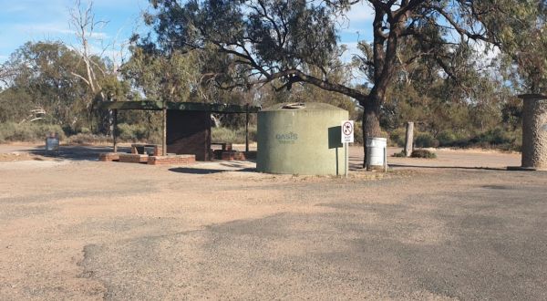
At the Yanga Creek Rest Area you'll get to see beautiful sunrises over Hay Plains. Even though it's set back a fair way from the Sturt Highway, you'll still hear some highway noise. with very little shade. There is also nothing between you and the main ro ...
Read More...
, , ,
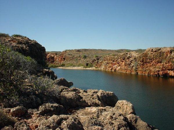
The Yardie Creek Campground is a lovely campsite at the end of Cape Range, it's close to Hardie creek to fish or walk the creek has some powered sites, but you will need very long power cords, or two. There are 11 campsites approximately 80 metres from th ...
Read More...
, ,
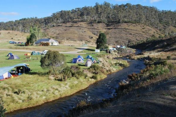
Yarrangobilly Village Camping Area
The Yarrangobilly Village Camping Area is a nice nice place for camping along the Yarrangobilly River. Long drop toilets, with lots of room to choose a campsite, there are picnic tables, fireplaces, flat mown grass, a clean creek and Brumbies roaming thro ...
Read More...
Yarrawonga Holiday Park
Entrance to the Yarrawonga Holiday Park Yarrawonga Holiday Park location map
, , , , , , , , , , , , ,
Yarrawonga Mulwala Visitor Information Centre
The Yarrawonga Mulwala Visitor Information Centre Parking is limited for caravans and motorhomes, but you can park in the side streets fairly close to the venue.
Entrance to the Yarrawonga Mulwala Visitor Information Centre
Yarrawonga Mulwala Visitor ...
Read More...
, ,
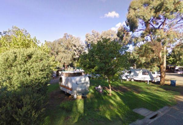
Entrance to the Yea Riverside Caravan Park Yea Riverside Caravan Park location map
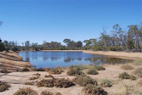
Entrance to the Yornaning Dam Rest Area Yornaning Dam Rest Area location map
, , , , ,
The Yuleba Creek Rest Area is a place to pull off the main road and take a short break from driving, walk over to the creek and you've nearly seen all there is here of interest.
Entrance to the Yuleba Creek Rest Area
Yuleba Creek Rest Area location ma ...
Read More...
, , ,
The Zonhoven Park Rest Area is just a hop step and a jump from the Burnett River if your into fishing, perhaps a short walk to the Big Orange is more your thing. (About 400 metres up the road.)
You will hear some noise from passing trucks at night and th ...
Read More...
, , , , , , ,