Airport Rest Area
Location Map
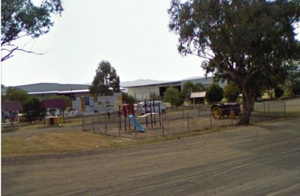
360 view - Entrance to the Airport Rest Area
Airport Rest Area location map
Address
Oxley Highway, Westdale, 2340, New South Wales
Sat Nav Coordinate
-31.077692, 150.850395
Road Access
Asphalt Road Surface
Parking Area
Gravel Surfaced Area
Drive through site
Yes - Some Drive through sites available
Big Rigs
Yes - there is room to maneuver
Power Available
No onsite mains power available
Toilets
Yes - At least one public toilet block available
Dump Point
No black water dump point
Rubbish Bins
No rubbish bins onsite - So PLEASE Take your rubbish with you when you leave
Drinking Water
Non Potable Water is available and it must be treated first before drinking
Shade
There is limited shade available at this location
Picnic Tables
Yes - At least one Picnic Table located here
Fixed Fire places
No fixed fireplaces
Fixed BBQ's
Yes - At least one BBQ facility is available
Pet Friendly
Yes - Dogs are Permitted Conditions Apply
Childrens Playground
Yes - Some playground infrastructure in place for the children to play on
Short Walks
Nothing much to see here
Fishing
No fishing spots within easy walking distance
TV Reception
Yes - Your TV will pick up reception here
Mobile Phone Reception
Mobile phone coverage is available depending on your carrier
Internet Access
Yes - Uses your Mobile Phones Internet Data Plan
Unique Pageviews
4,136
Facilities Available
 ,
,  ,
,  ,
,  ,
, 
Camping Info