Beleringar Creek Rest Area
When visiting the Beleringar Creek Rest Area you can walk over to Sandy Creek and checkout how much water is flowing. I wouldn't be unpacking the kayak in anticipation just yet. I tagged fishing at this location, but maybe catching a yabby might be more appropriate.
Location Map
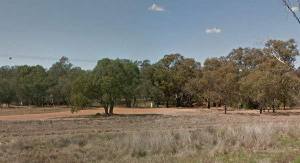
360 view - Entrance to the Beleringar Creek Rest Area
Beleringar Creek Rest Area location map
Address
Oxley Highway, Snakes Plain, 2824, New South Wales
Sat Nav Coordinate
-31.748387, 147.783445
Road Access
Asphalt Road Surface
Parking Area
Gravel Surfaced Area
Drive through site
Yes - Some Drive through sites available
Big Rigs
Yes - there is room to maneuver
Power Available
No onsite mains power available
Toilets
No public toilets at this location
Dump Point
No black water dump point
Rubbish Bins
Yes - At least one rubbish bin located here
Drinking Water
No drinking water onsite - Bring your own fresh water with you
Shade
Yes - Quite a few Shady Spots to select from
Picnic Tables
Yes - At least one Picnic Table located here
Fixed Fire places
Yes - At least one fixed fireplace onsite - Remember to bring your own supply of firewood
Fixed BBQ's
No - BBQ facilities onsite
Pet Friendly
Yes - Dogs are Permitted Conditions Apply
Childrens Playground
No playground infrastructure onsite
Short Walks
Yes - Room to stretch your legs on short walks
Fishing
Yes - Some Fishing spots within walking distance
TV Reception
Yes - Your TV will pick up reception here
Mobile Phone Reception
Mobile phone coverage is available depending on your carrier
Internet Access
Yes - Uses your Mobile Phones Internet Data Plan
Unique Pageviews
1,225
Facilities Available
 ,
,  ,
,  ,
, 
Camping Info