Dangar Falls Picnic Area
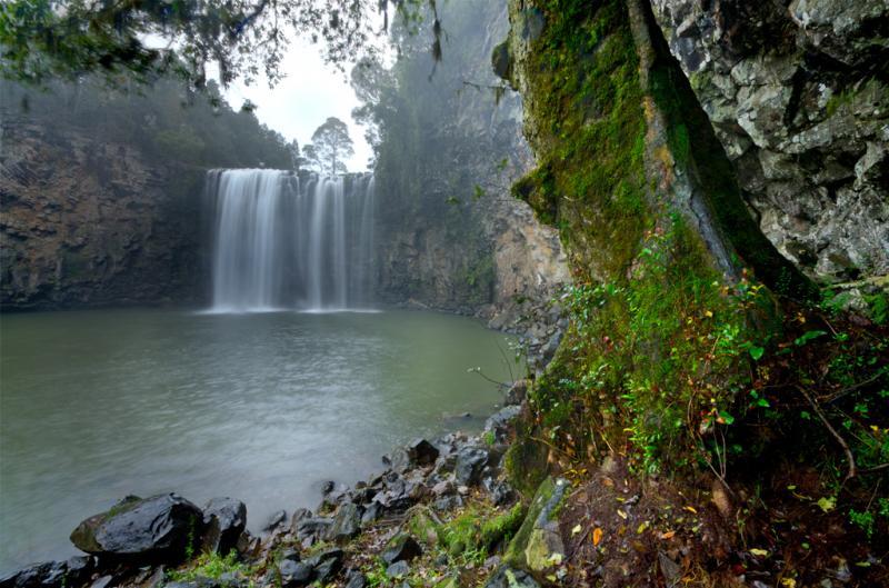
The Dangar Falls Picnic Area has a great photographic opportunity in almost any direction, as long as you're pointing at the waterfall hahaha. It's easy walking along the boardwalk.
Location Map
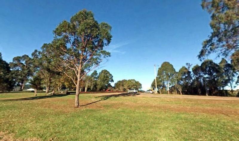
360 view - Entrance to the Dangar Falls Picnic Area
Dangar Falls Picnic Area location map
Address
Dangar Falls, Coramba Road, Dorrigo, 2453, New South Wales
Sat Nav Coordinate
-30.322661, 152.71422
Road Access
Asphalt Road Surface
Parking Area
Gravel Surfaced Area
Elevation above Sea Level
702.1 meters
Drive through site
Not Suitable for Caravans
Big Rigs
Not Suitable for large rigs
Power Available
No onsite mains power available
Toilets
Yes - At least one public toilet block available
Dump Point
No black water dump point
Rubbish Bins
Yes - At least one rubbish bin located here
Drinking Water
Creek or River Water is within walking distance
Shade
Yes - Quite a few Shady Spots to select from
Picnic Tables
Yes - At least one Picnic Table located here
Fixed Fire places
Yes - At least one fixed fireplace onsite - Remember to bring your own supply of firewood
Fixed BBQ's
Yes - At least one BBQ facility is available
Pet Friendly
Yes - Dogs are Permitted Conditions Apply
Childrens Playground
No playground infrastructure onsite
Short Walks
Yes - Room to stretch your legs on short walks
Fishing
Yes - Some Fishing spots within walking distance
TV Reception
Yes - Your TV will pick up reception here
Mobile Phone Reception
Mobile phone coverage is available depending on your carrier
Internet Access
Yes - Uses your Mobile Phones Internet Data Plan
Unique Pageviews
4,308
Facilities Available
 ,
,  ,
,  ,
,  ,
,  ,
,  ,
, 
Camping Info