Darbys Falls River Reserve Rest Area
Location Map
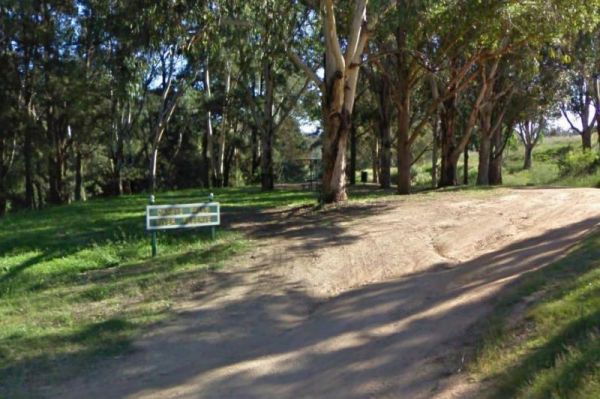
360 view - Entrance to the Darbys Falls River Reserve Rest Area
Darbys Falls River Reserve Rest Area location map
Address
Darby Falls Road, Darbys Falls, 2793, New South Wales
Sat Nav Coordinate
-33.948355, 148.862595
Road Access
Asphalt Road Surface
Parking Area
Gravel Surfaced Area
Elevation above Sea Level
306.5 meters
Drive through site
Not suitable for Large Caravans
Big Rigs
Not Suitable for large rigs
Power Available
No onsite mains power available
Toilets
Yes - At least one public toilet block available
Dump Point
No black water dump point
Rubbish Bins
Yes - At least one rubbish bin located here
Drinking Water
Creek or River Water is within walking distance
Shade
Yes - Quite a few Shady Spots to select from
Picnic Tables
Yes - At least one Picnic Table located here
Fixed Fire places
No fixed fireplaces
Fixed BBQ's
No - BBQ facilities onsite
Pet Friendly
Yes - Dogs are Permitted Conditions Apply
Childrens Playground
No playground infrastructure onsite
Short Walks
Yes - Room to stretch your legs on short walks
Fishing
Yes - Some Fishing spots within walking distance
TV Reception
Unknown if you can get a TV signal here
Mobile Phone Reception
Unknown if you can get a mobile signal here
Internet Access
Unknown if you can recieve a mobile phone Internet signal here
Unique Pageviews
4,016
Facilities Available
 ,
,  ,
,  ,
, 
Camping Info