Jerilderie South Rest Area
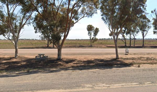
At the Jerilderie South Rest Area there is not a lot here to see or photograph, but at least there is a shady spot with a picnic table and rubbish bin to enjoy a break from driving.
Location Map
360 view - Entrance to the Jerilderie South Rest Area
Jerilderie South Rest Area location map
Address
Newell Highway, Jerilderie, 2716, New South Wales
Sat Nav Coordinate
-35.417034,145.691026
Road Access
Asphalt Road Surface
Parking Area
Gravel Surfaced Area
Elevation above Sea Level
110.0 meters
Drive through site
Yes - Some Drive through sites available
Big Rigs
Yes - there is room to maneuver
Power Available
No onsite mains power available
Toilets
No public toilets at this location
Dump Point
No black water dump point
Rubbish Bins
Yes - At least one rubbish bin located here
Drinking Water
No drinking water onsite - Bring your own fresh water with you
Shade
There is limited shade available at this location
Picnic Tables
Yes - At least one Picnic Table located here
Fixed Fire places
No fixed fireplaces
Fixed BBQ's
No - BBQ facilities onsite
Pet Friendly
Yes - Dogs are Permitted Conditions Apply
Childrens Playground
No playground infrastructure onsite
Short Walks
Nothing much to see here
Fishing
No fishing spots within easy walking distance
TV Reception
Yes - Your TV will pick up reception here
Mobile Phone Reception
Mobile phone coverage is available depending on your carrier
Internet Access
Yes - Uses your Mobile Phones Internet Data Plan
Unique Pageviews
3,431
Facilities Available
 ,
, 
Camping Info