Lightning Ridge Turnoff Rest Area
Location Map
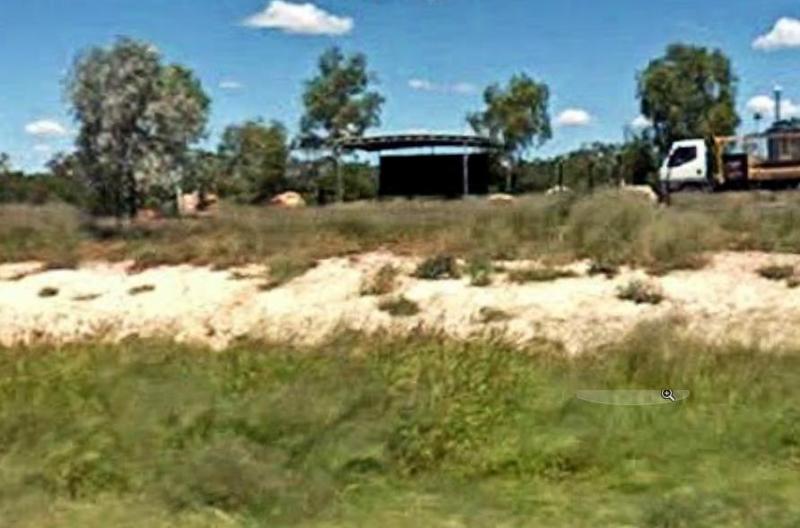
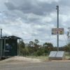
360 view - Entrance to the Lightning Ridge Turnoff Rest Area
Lightning Ridge Turnoff Rest Area location map
Address
Castlereagh Highway, Lightning Ridge, 2834, New South Wales
Sat Nav Coordinate
-29.493224, 147.970807
Road Access
Asphalt Road Surface
Parking Area
Gravel Surfaced Area
Elevation above Sea Level
144.2 meters
Drive through site
Yes - Some Drive through sites available
Big Rigs
Yes - there is room to maneuver
Power Available
No onsite mains power available
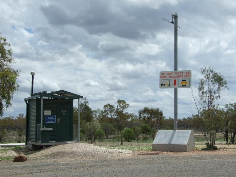
Toilets
Yes - At least one public toilet block available
Wheelchair Accessible Toilets
Yes - public toilets with wheelchair access available
Dump Point
No black water dump point
Rubbish Bins
Yes - At least one rubbish bin located here
Drinking Water
No drinking water onsite - Bring your own fresh water with you
Shade
There is limited shade available at this location
Picnic Tables
Yes - At least one Picnic Table located here
Fixed Fire places
No fixed fireplaces
Fixed BBQ's
No - BBQ facilities onsite
Pet Friendly
Yes - Dogs are Permitted Conditions Apply
Childrens Playground
No playground infrastructure onsite
Short Walks
Nothing much to see here
Fishing
No fishing spots within easy walking distance
TV Reception
Unknown if you can get a TV signal here
Mobile Phone Reception
Unknown if you can get a mobile signal here
Internet Access
Unknown if you can recieve a mobile phone Internet signal here
Unique Pageviews
4,275
Facilities Available
 ,
,  ,
, 
Camping Info