Mount Wingen Burning Mountain Nature Reserve
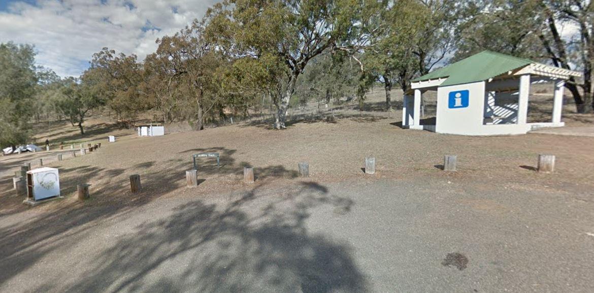
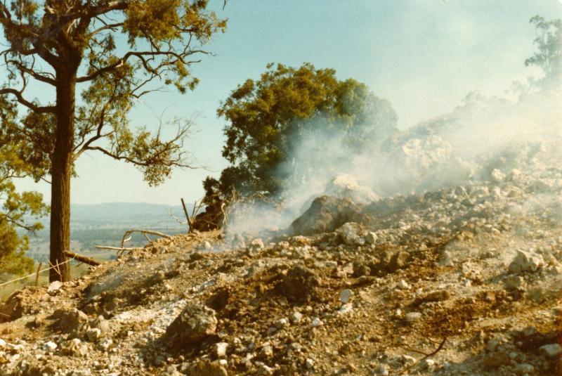
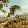
Mount Wingen Burning Mountain Nature Reserve, which is administered by the NSW National Parks and Wildlife Service A trail runs from the Park carpark to the site where smoke emanates from the ground and includes information panels. The scientific estimate is that the fire has burned for approximately 6,000 years and is the oldest known coal fire.
Location Map
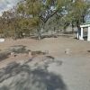
360 view - Entrance to the Mount Wingen Burning Mountain Nature Reserve
Mount Wingen Burning Mountain Nature Reserve location map
Address
New England Highway, Murulla, 2337, New South Wales
Sat Nav Coordinate
-31.856428, 150.900487
Road Access
Asphalt Road Surface
Parking Area
Gravel Surfaced Area
Drive through site
Yes - Some Drive through sites available
Big Rigs
Yes - there is room to maneuver
Power Available
No onsite mains power available
Toilets
Yes - At least one public toilet block available
Dump Point
No black water dump point
Rubbish Bins
No rubbish bins onsite - So PLEASE Take your rubbish with you when you leave
Drinking Water
No drinking water onsite - Bring your own fresh water with you
Shade
There is limited shade available at this location
Picnic Tables
No Picnic Tables on location
Fixed Fire places
No fixed fireplaces
Fixed BBQ's
No - BBQ facilities onsite
Pet Friendly
Yes - Dogs are Permitted Conditions Apply
Childrens Playground
No playground infrastructure onsite
Short Walks
Yes - Room to stretch your legs on short walks
Fishing
No fishing spots within easy walking distance
TV Reception
Unknown if you can get a TV signal here
Mobile Phone Reception
Unknown if you can get a mobile signal here
Internet Access
Unknown if you can recieve a mobile phone Internet signal here
Unique Pageviews
4,248
Facilities Available
 ,
, 
Camping Info