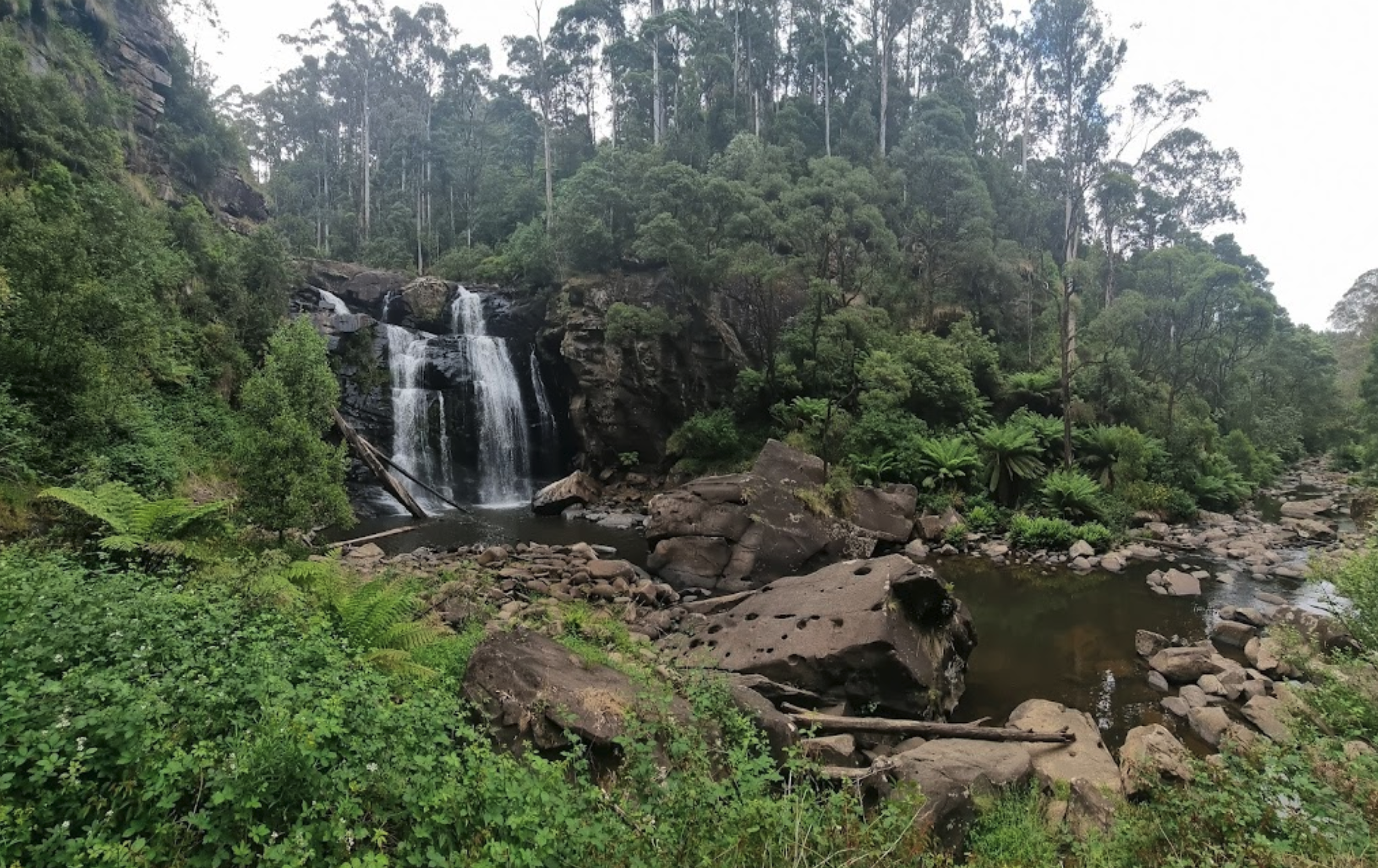
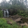
Stevenson Falls Scenic Reserve Rest Area
Location Map
Stevenson Falls Scenic Reserve Location Map
Address
425 Upper Gellibrand Road, Barramunga, 3249, Victoria
Sat Nav Coordinate
-38.564034, 143.655617
Road Access
Dry Weather Road Only
Parking Area
Gravel - Dry Weather Only
Elevation above Sea Level
157.2 meters
Drive through site
Not Suitable for Caravans
Power Available
No onsite mains power available
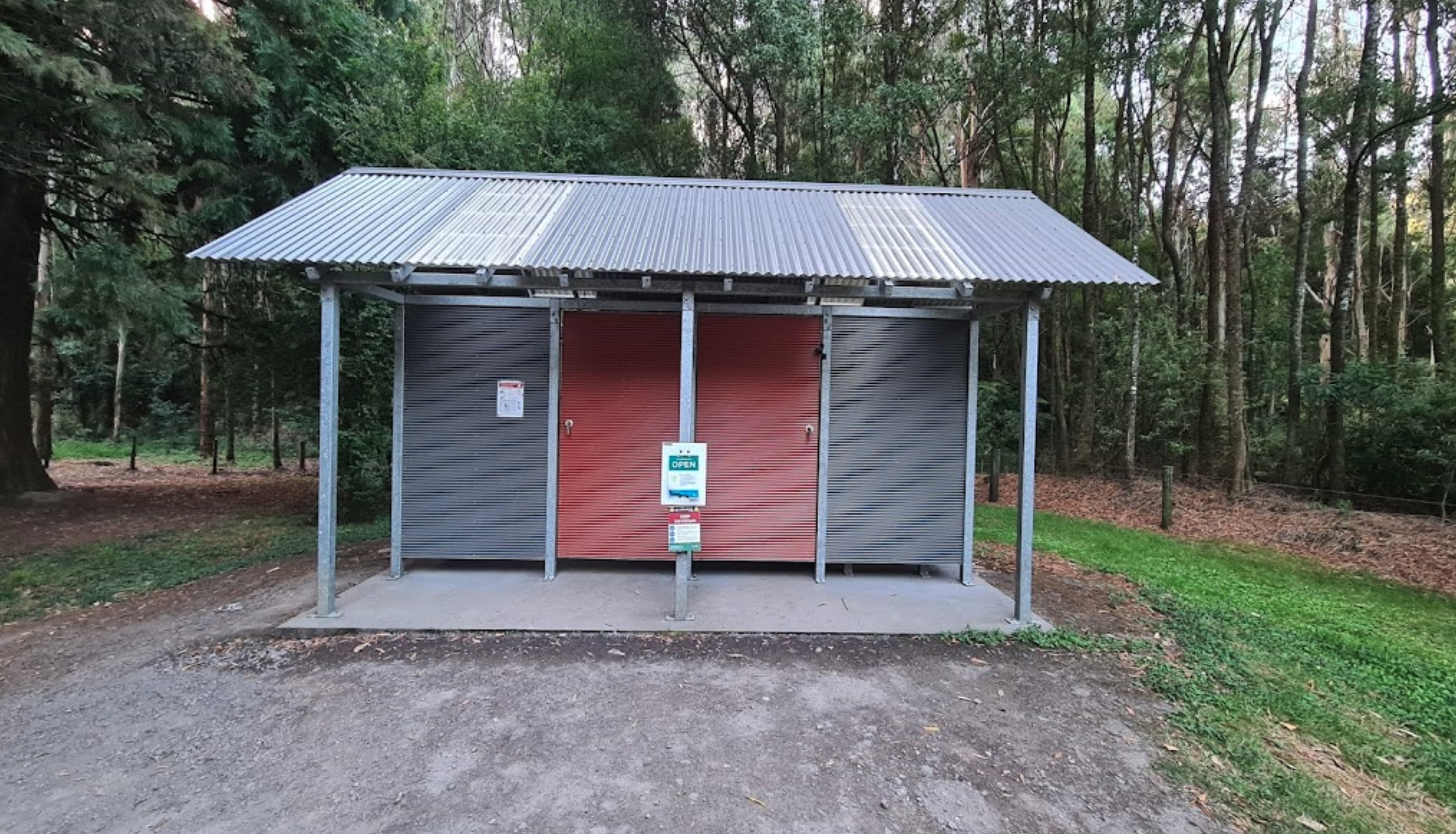
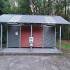
Toilets
Yes - At least one public toilet block available
Dump Point
No black water dump point
Rubbish Bins
No rubbish bins onsite - So PLEASE Take your rubbish with you when you leave
Drinking Water
Creek or River Water is within walking distance
Shade
Yes - Quite a few Shady Spots to select from
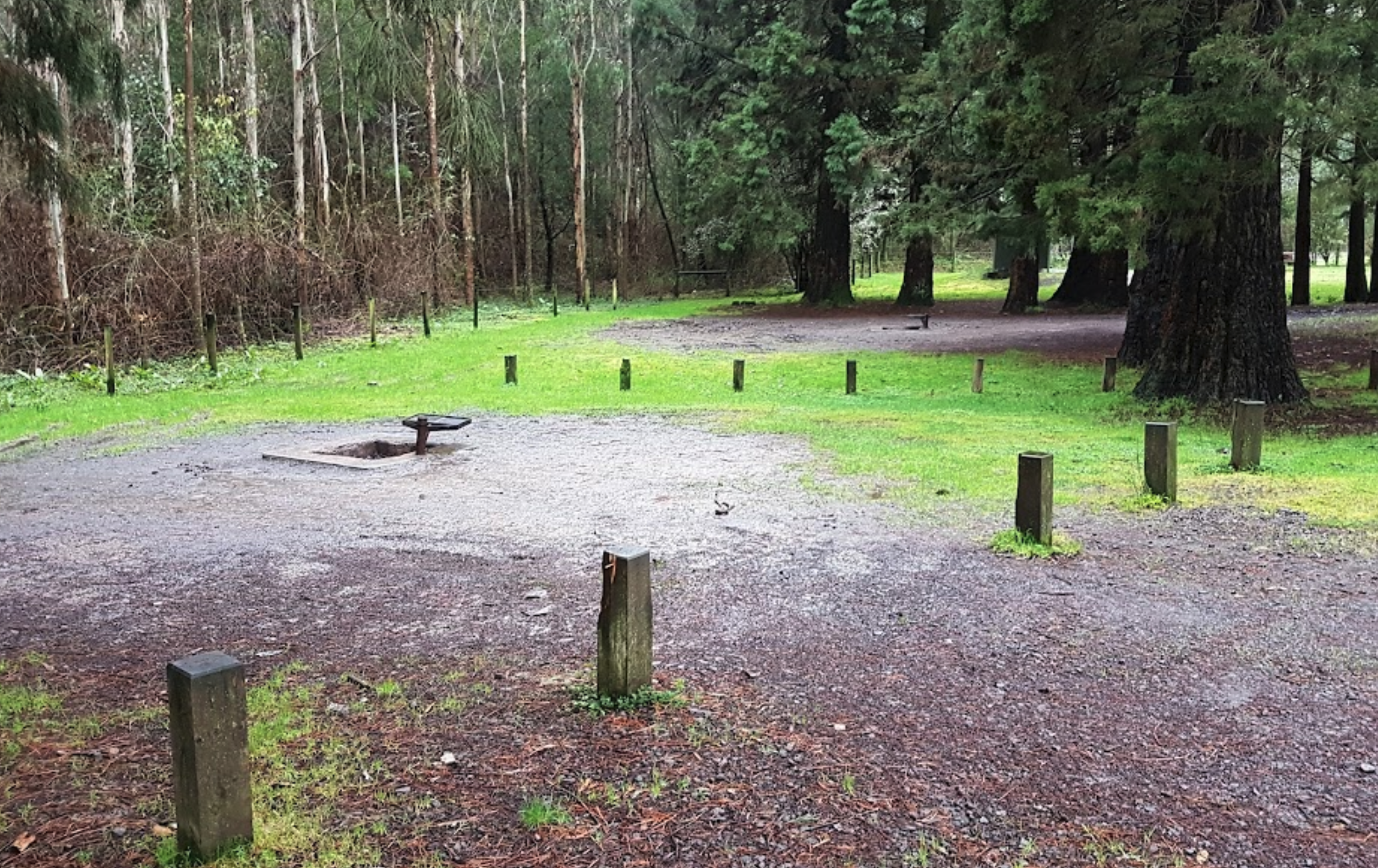
Picnic Tables
Yes - At least one Picnic Table located here
Fixed Fire places
Yes - At least one fixed fireplace onsite - Remember to bring your own supply of firewood
Fixed BBQ's
Yes - At least one BBQ facility is available
Pet Friendly
Yes - Dogs are Permitted Conditions Apply
Childrens Playground
No playground infrastructure onsite
Short Walks
Yes - Room to stretch your legs on short walks
Fishing
Yes - Some Fishing spots within walking distance
TV Reception
No TV signal available
Mobile Phone Reception
No Mobile Phone Reception
Internet Access
No Internet available at this spot
Unique Pageviews
2,548
Facilities Available
 ,
,  ,
,  ,
,  ,
,  ,
, 
Camping Info