Burra Rock Nature Reserve Camping Area
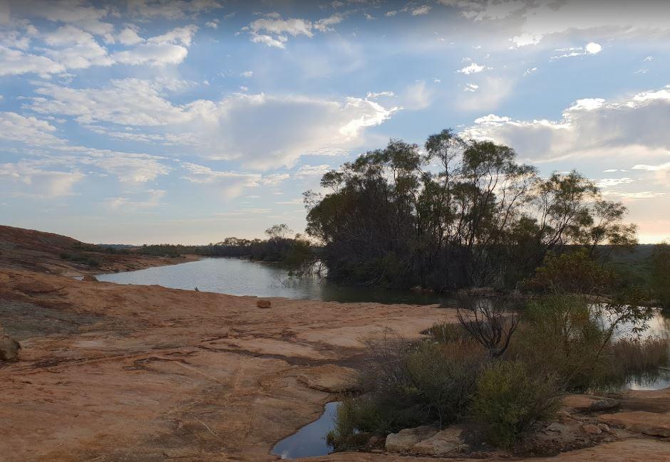
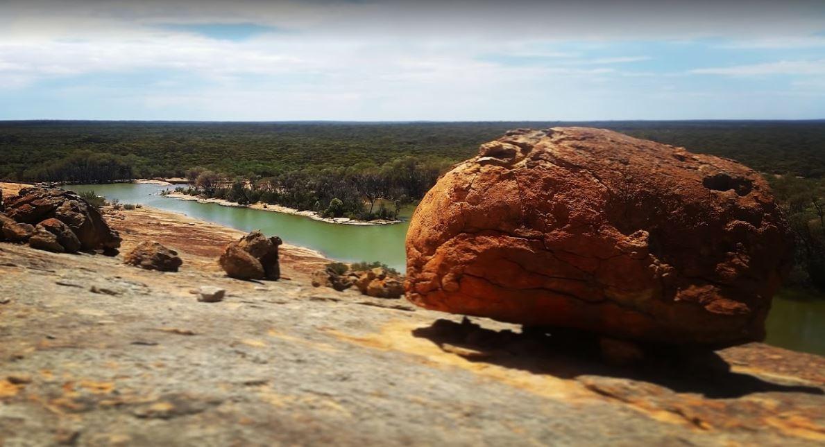
The Burra Rock Nature Reserve Camping Area is a day use area with camping allowed. There are some picnic tables, fireplace and a public toilet, and at the base of the Burra Rock is a dam, once used to water the steam trains used for carrying wood back to kalgoorlie & coolgardie for fuel. A collection of abandoned machinery and rusted relics from a small farming venture at Burra Rock in the 1960s can be found in the picnic area.
Location Map
Burra Rock Nature Reserve Camping Area location map
Address
Burra Rock Nature Reserve Burra Rock Road, Londonderry, 6429, Western Australia
Sat Nav Coordinate
-31.393117,121.200549
Road Access
Asphalt Road Surface
Parking Area
Gravel Surfaced Area
Elevation above Sea Level
430.7 meters
Drive through site
Not suitable for Large Caravans
Toilets
Yes - At least one public toilet block available
Drinking Water
Creek or River Water is within walking distance
Shade
Yes - Quite a few Shady Spots to select from
Picnic Tables
Yes - At least one Picnic Table located here
Short Walks
Yes - Room to stretch your legs on short walks
Mobile Phone Reception
Unknown if you can get a mobile signal here
Internet Access
Unknown if you can recieve a mobile phone Internet signal here
Unique Pageviews
4,098
Facilities Available
 ,
,  ,
,  ,
, 
Camping Info