Facilities: Mobile Phone Reception
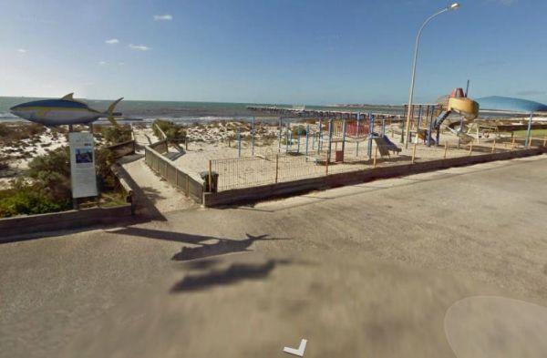
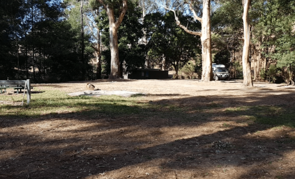
12 Mile Beach Camping Area
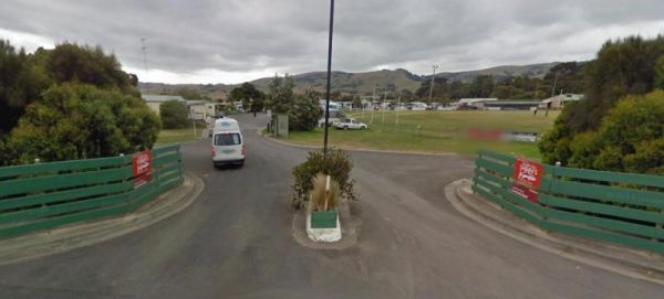
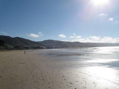
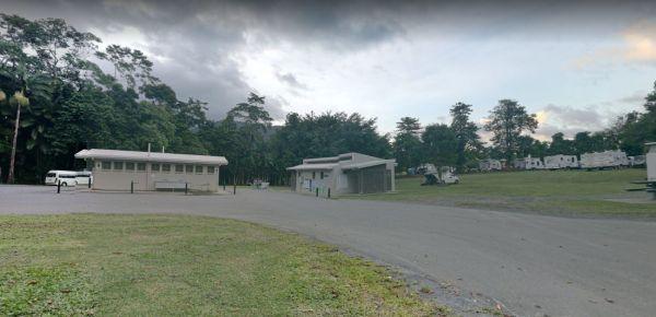
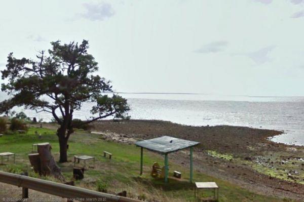
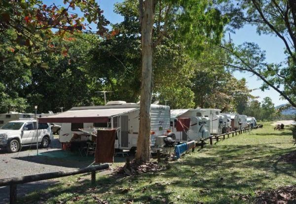
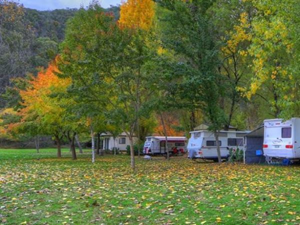
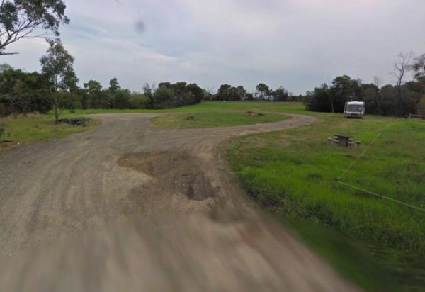
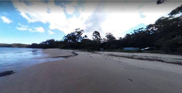
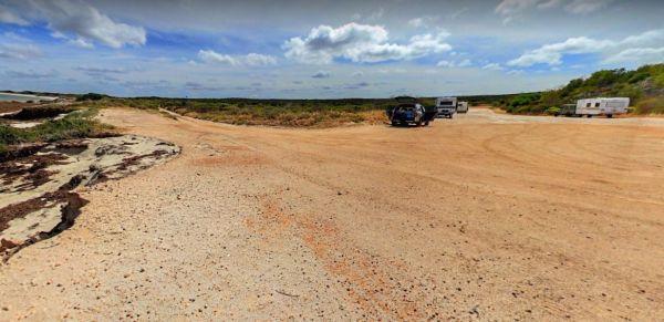
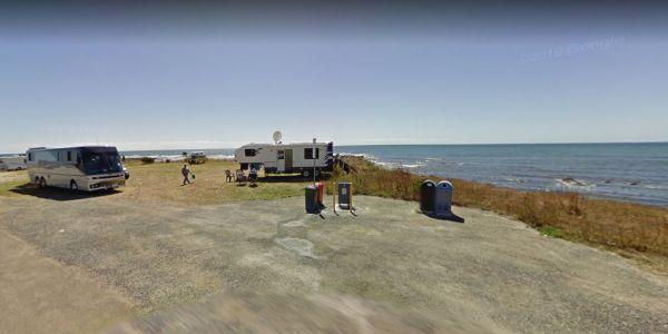
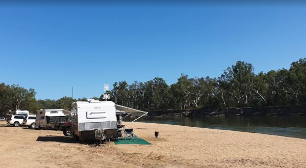
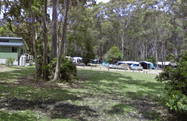
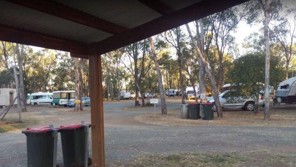
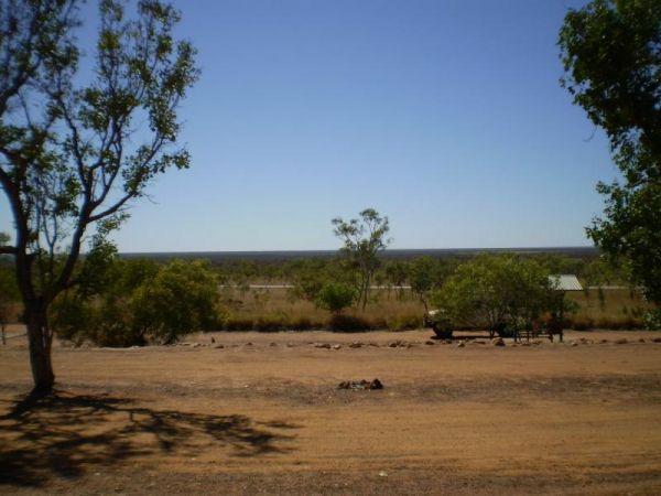
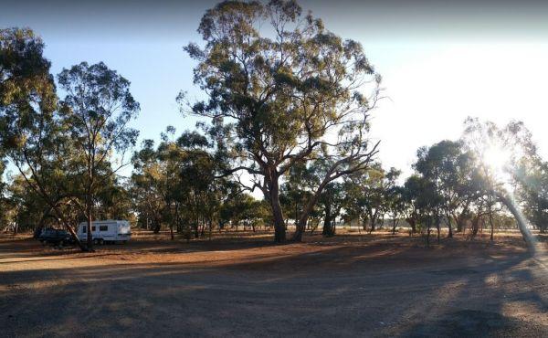
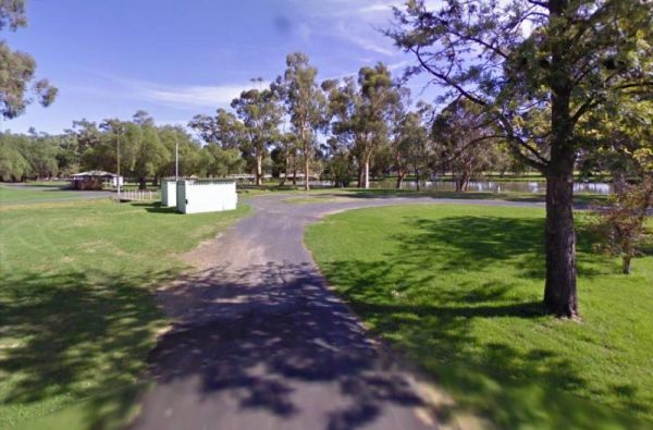
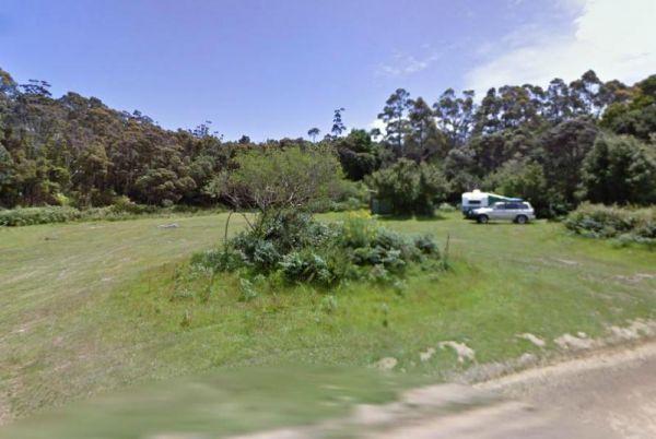
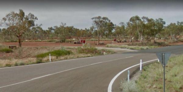
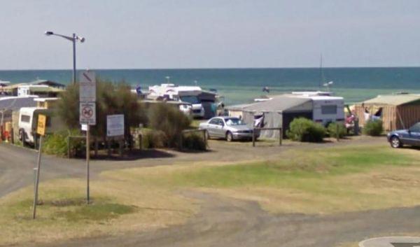
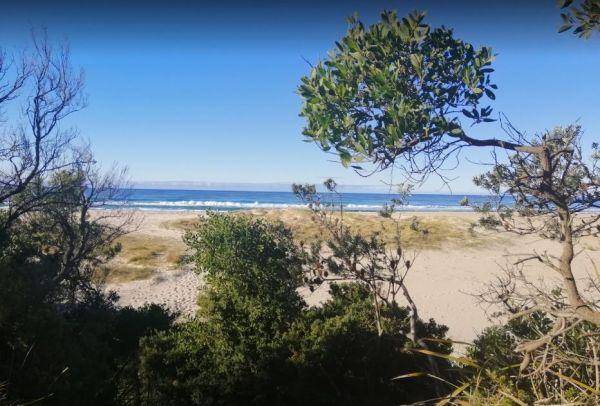
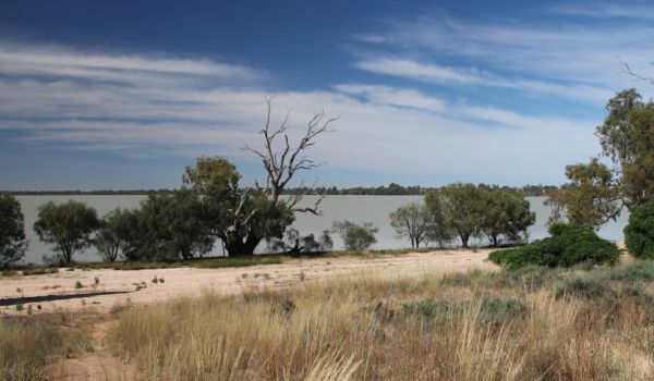
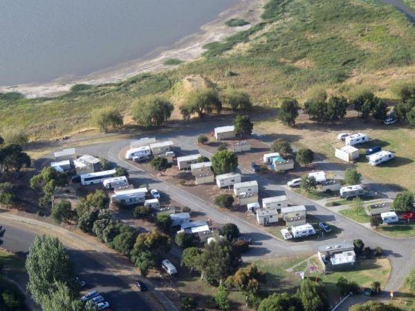
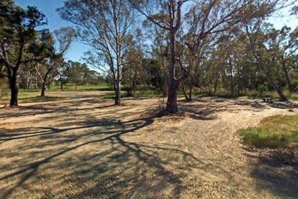
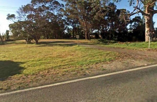
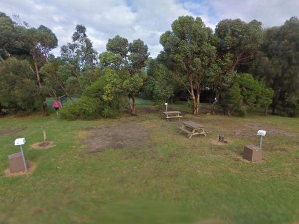
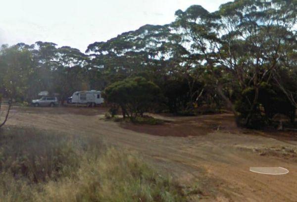
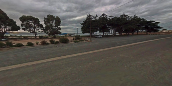
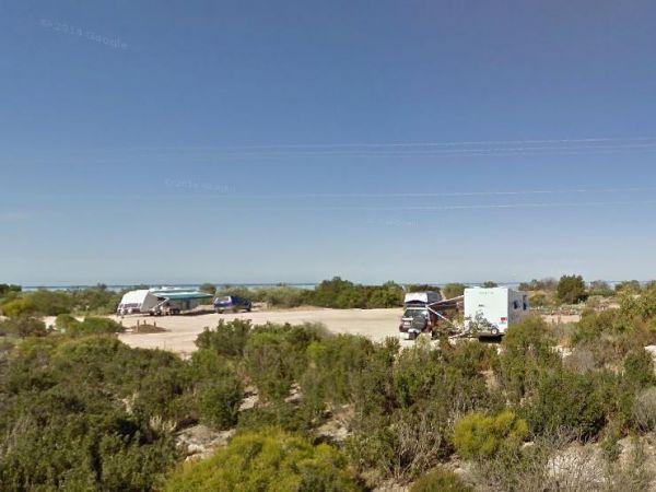
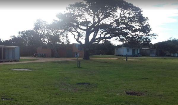
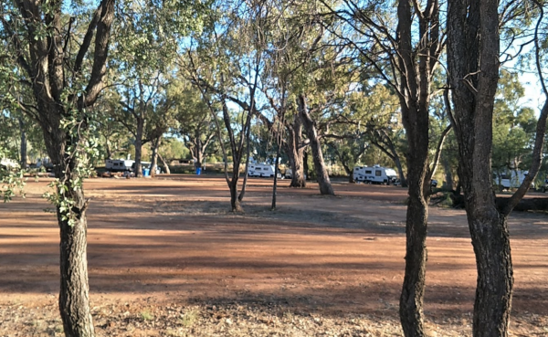
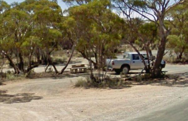
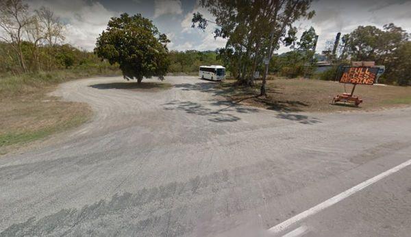
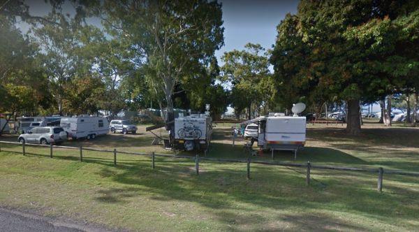
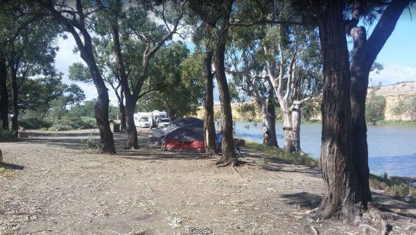
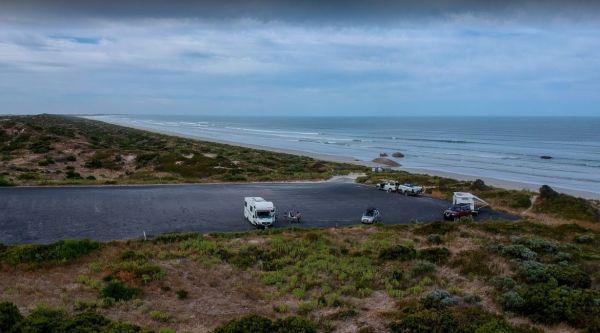
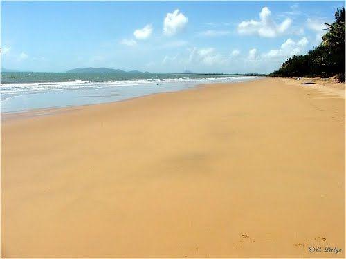
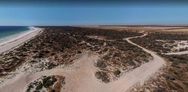
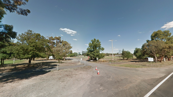
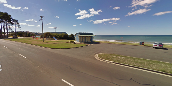
At the 12 Mile Beach Camping Area there are a few camping areas on various levels to choose from, also popular with local fishermen. 12 Mile Beach Camping Area location map
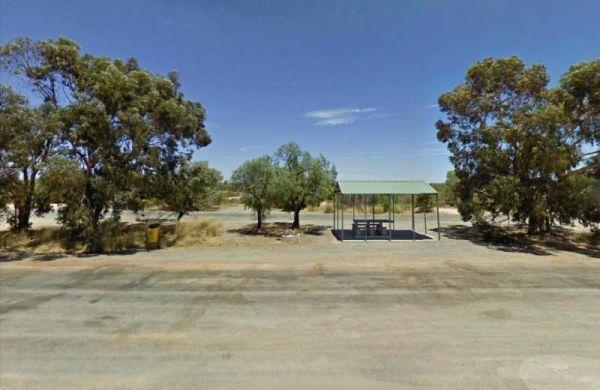
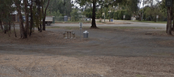
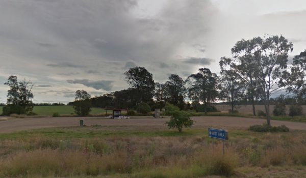
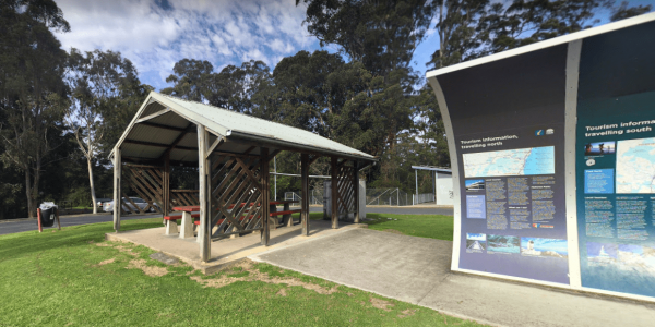
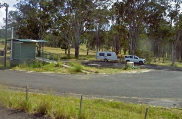
12 Mile Rest Area - Southbound
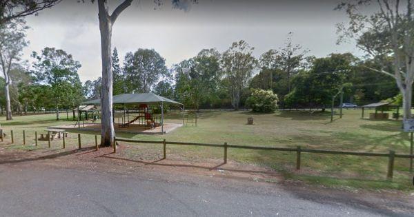
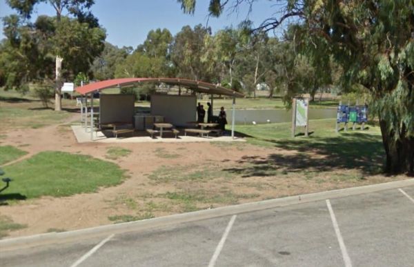
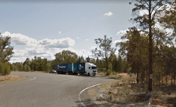
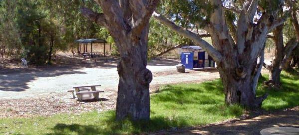
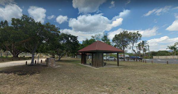
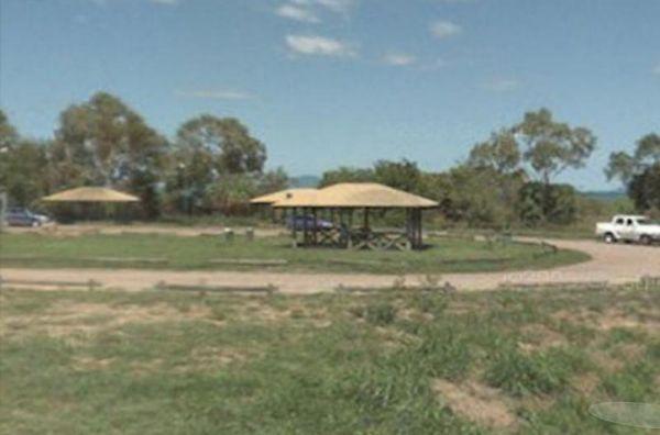
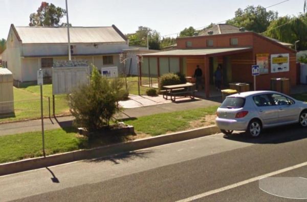
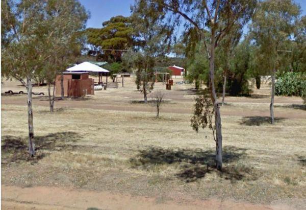
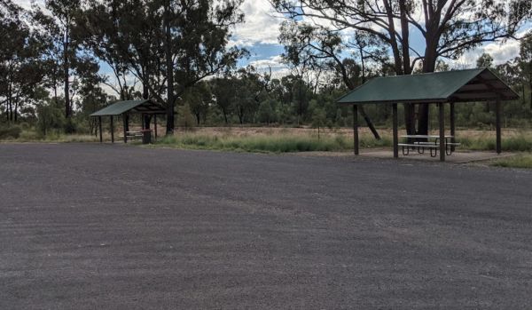
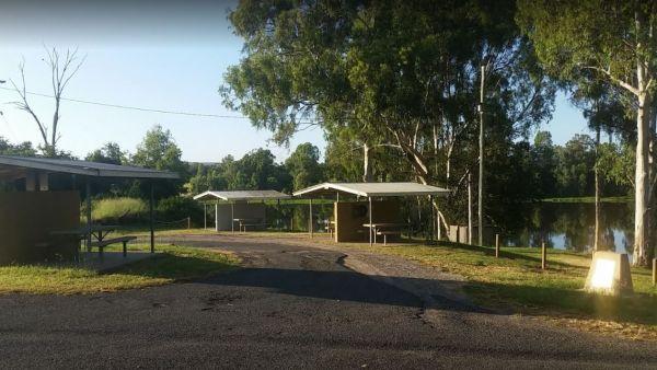
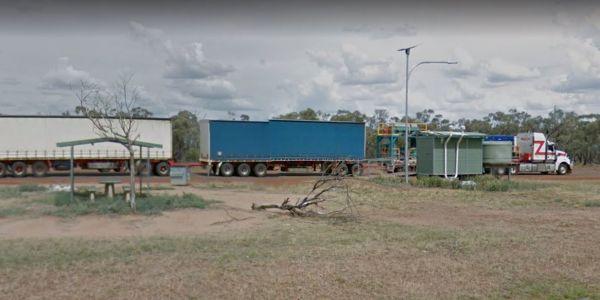
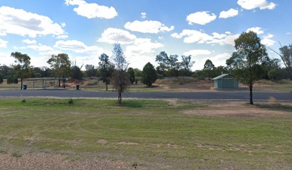
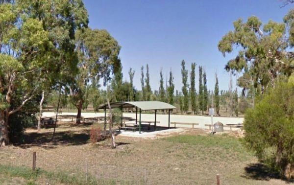
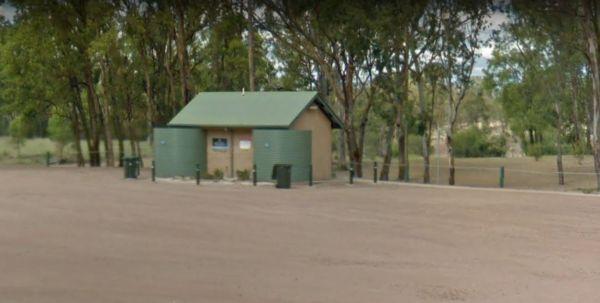
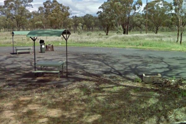
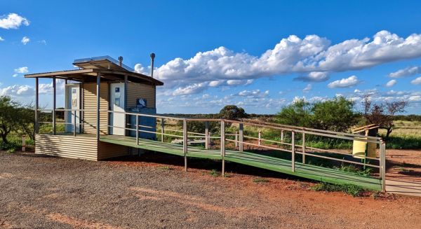
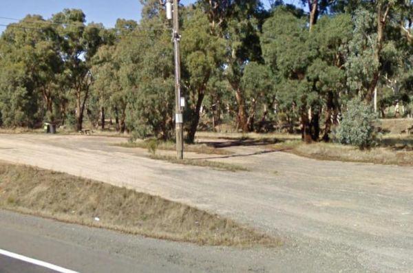
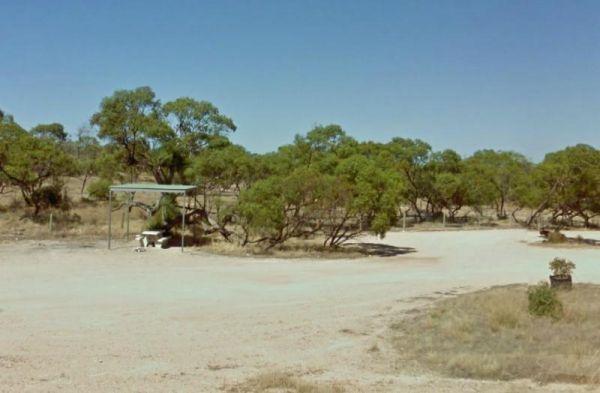
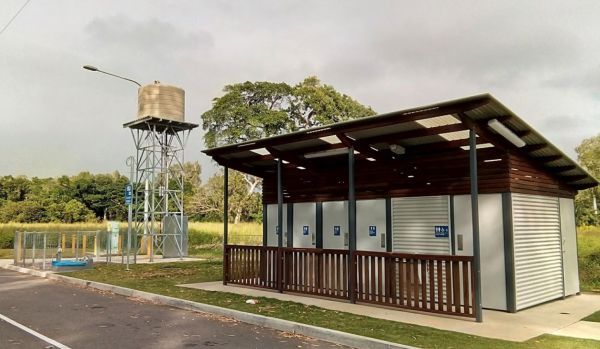
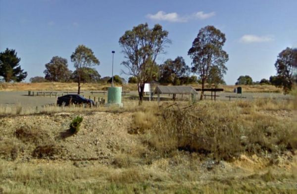
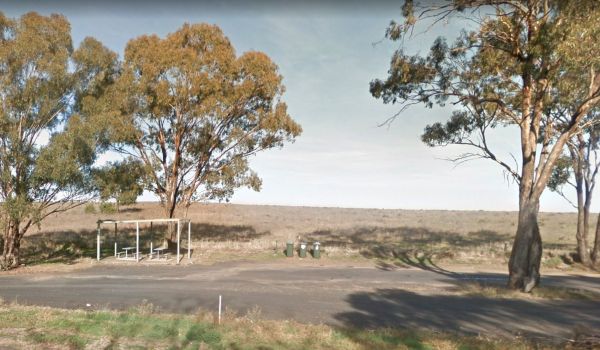
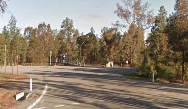
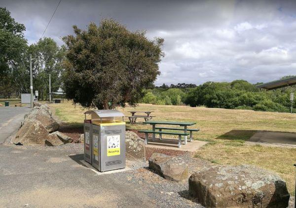
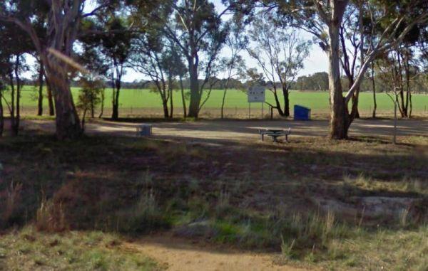
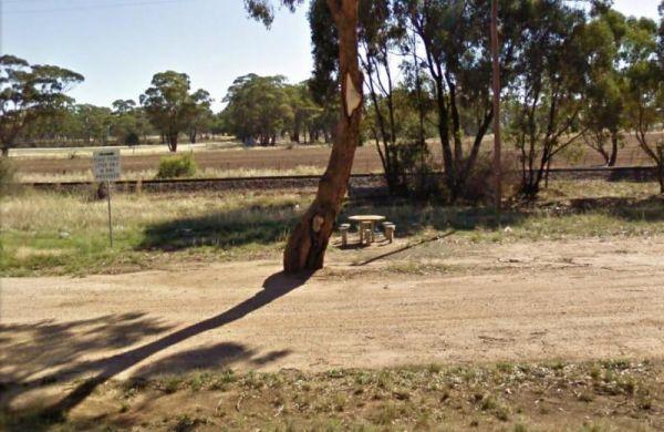
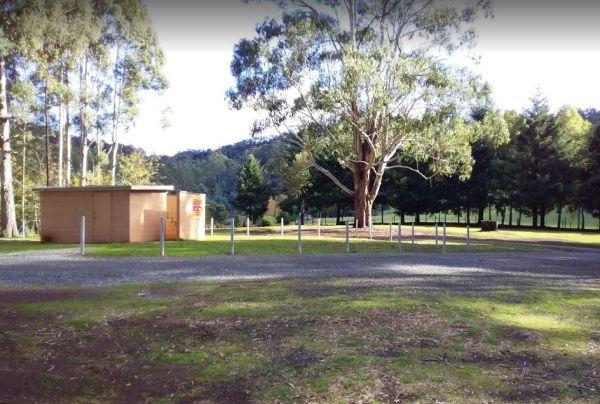
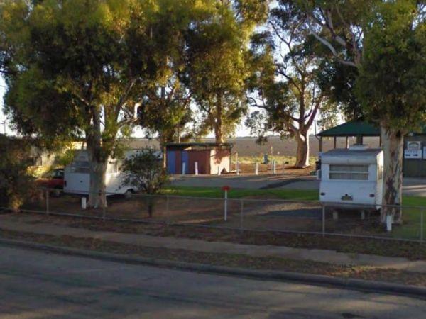
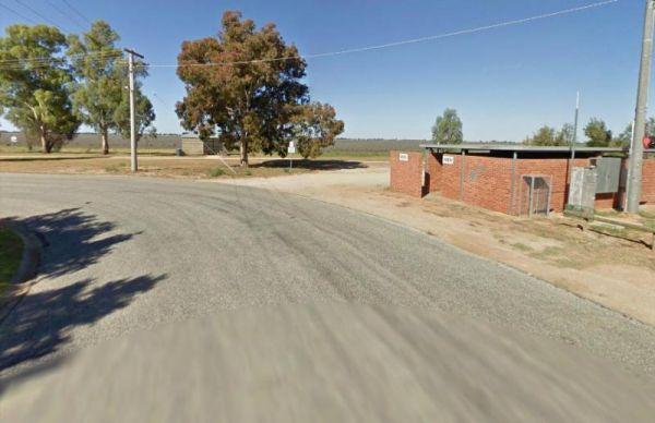
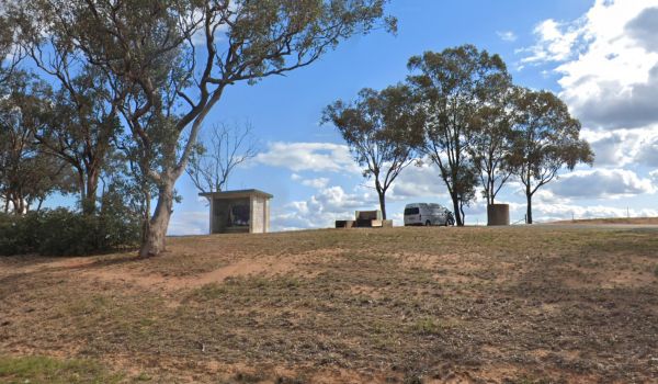
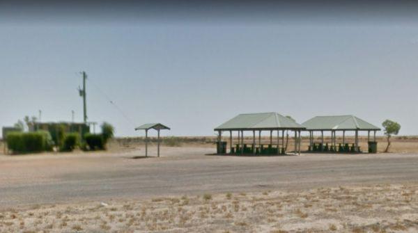
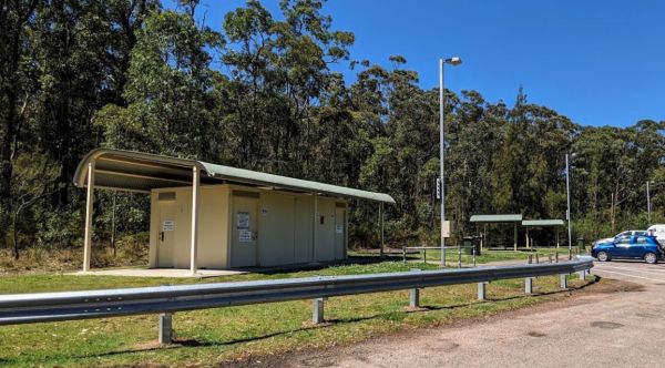
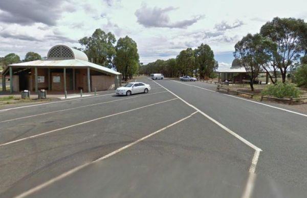
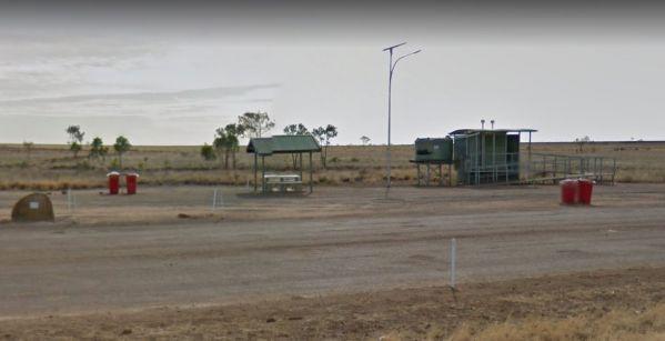
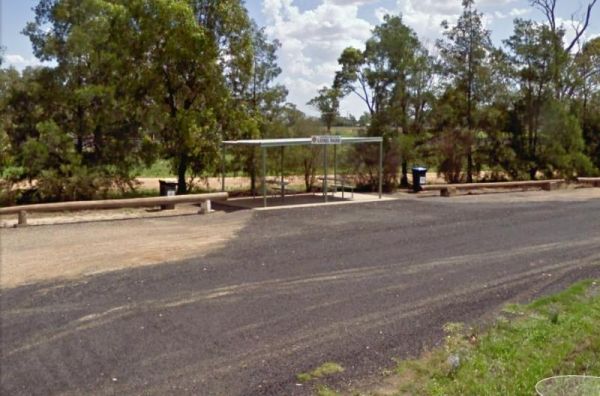
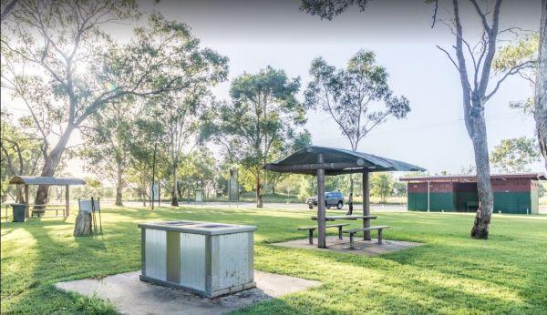
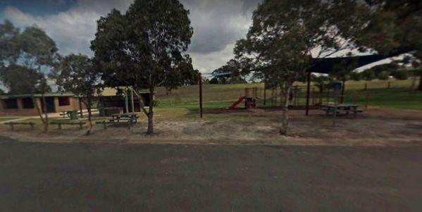
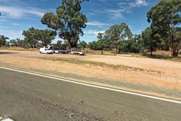
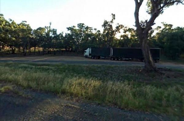
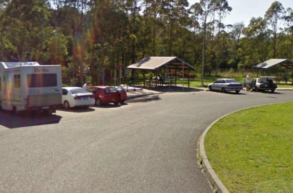
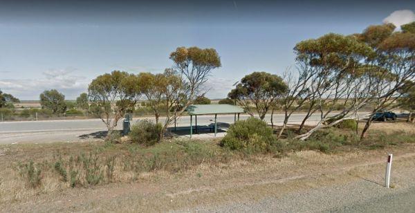
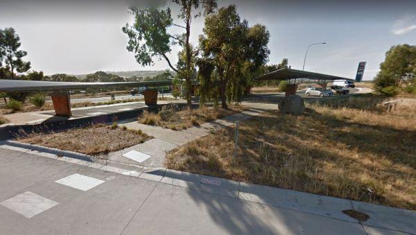
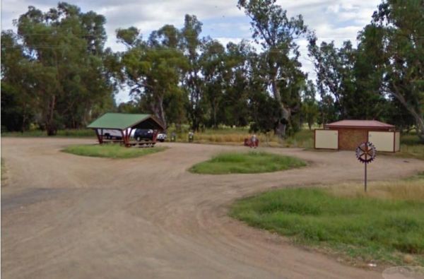
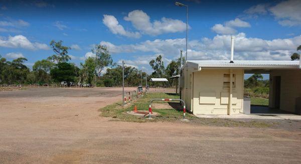
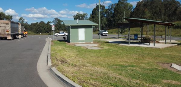
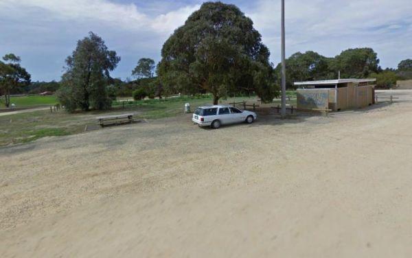
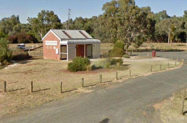
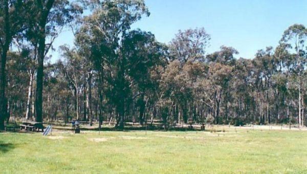
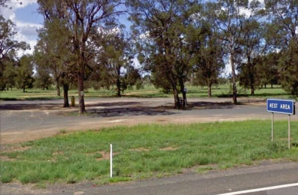
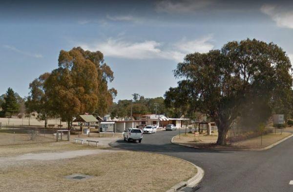
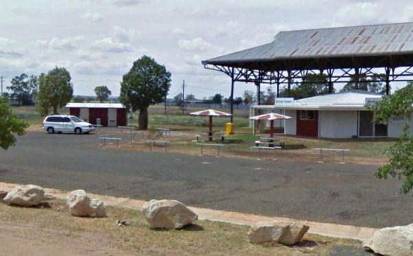
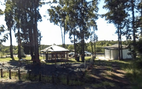
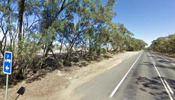
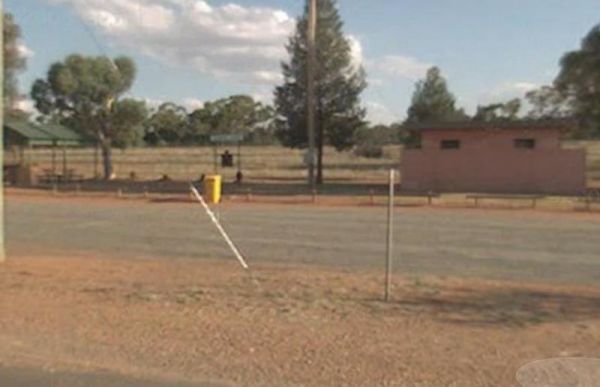
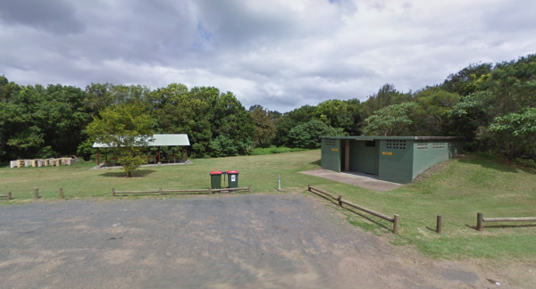
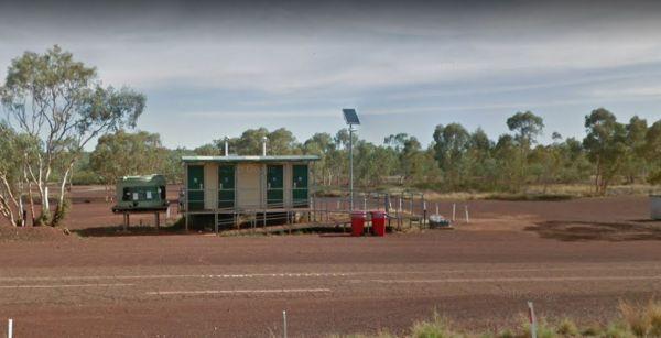
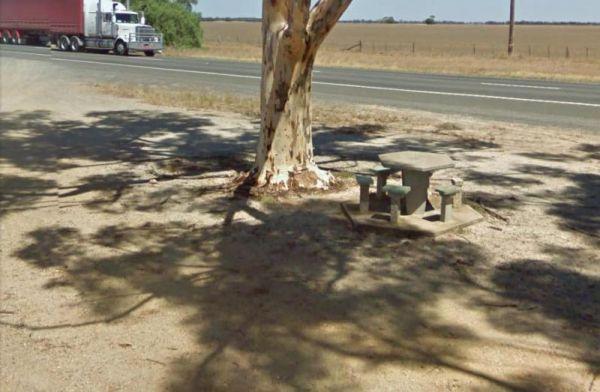
The 12 Mile Rest Area has two public toilets, and a few rubbish bins and undercover picnic tables. You will have plenty of room to park your caravan, but please make room for the truckies, as it's a popular truck rest area for them.
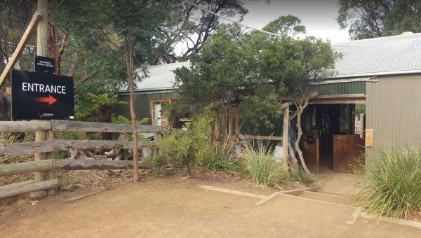
Entrance to the 12 Mi ...
Read More...
90 Mile Beach, Golden Beach, Seaspray, Paradise Beach C...
Free camping areas located between Golden Beach and Seaspray in the Gippsland Lakes Coastal Park, also camping at Paradise Beach. Toilets at every 2nd site. Hot showers available at Golden Beach. Some areas dogs allowed on leash, no dog areas signed. Furt ...
Read More...
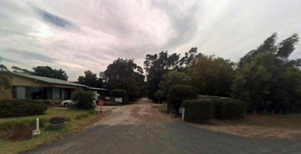
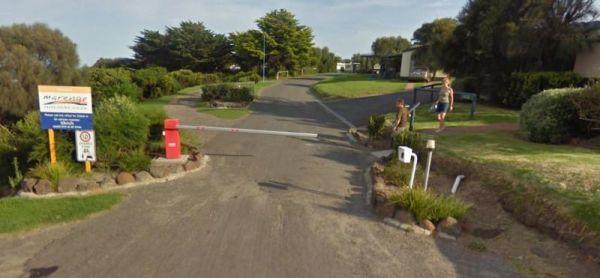
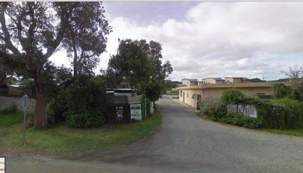
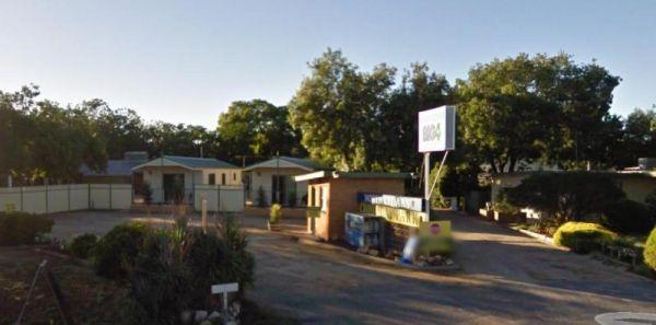
Entrance to the A Maze'N Things Holiday Park A Maze'N Things Holiday Park location map <
A-Line Holiday Park
{tab title="Local Places to Eat" class="grey"}
Red Pepper Cafe - Lansell Square, 267 High St, Kangaroo Flat
Jin Yang Chinese Restaurant, 180 High St, Kangaroo Flat
McDonald's Kangaroo Flat, 166-170 High St, Kangaroo Flat
Bee Yua ...
Read More...
A'wangralea Caravan Park
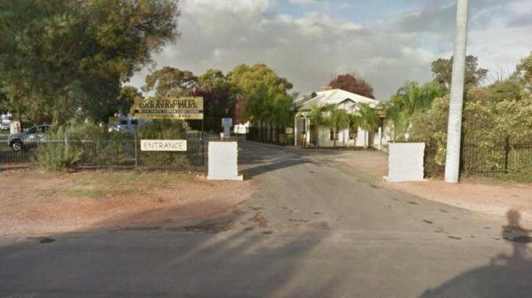
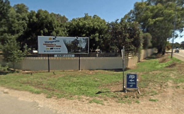
Entrance to the A'wangralea Caravan Park A'wangralea Caravan Park location map
The Abbotts Tank Rest Area has undercover picnic tables and wood fired bbq and some rubbish bins and a few trees for shade. So take break from driving and grab a bite to eat and chill out for a bit.
Entrance to the Abbotts Tank Rest Area
Abbotts Tank ...
Read More...
Local weather forecast for Ararat, Victoria: Weather report Ararat
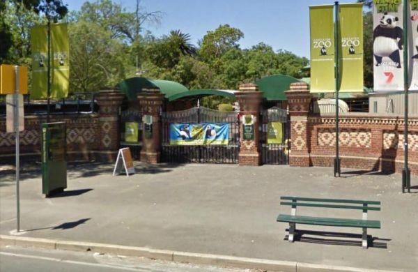
Entrance to the Adelaide Zoo Adelaide Zoo location map
Afghan Rock Rest Area 24 Hour Limit
The Afghan Rock Rest Area is on a reasonably level asphalt area, with plenty of room to park your caravan or motorhome. There are picnic tables under shady trees, and a few rubbish bins.
Note: This spot, this is a popular truck stop, so please make sure ...
Read More...
Entrance to the Agnes River Rest Area Agnes River Rest Area location map
Aireys Inlet Holiday Park
Entrance to the Aireys Inlet Holiday Park Aireys Inlet Holiday Park location map
Entrance to the Airport Rest Area Airport Rest Area location map
Entrance to the Albany Visitor Centre Albany Visitor Centre location map
The Albury Visitor Information Centre has a Dump point located in car park, water taps also available. Open Hours:9.00am to 5.00pm everyday Entrance to the Albury Visitor Information Centre Albury Visitor Information Centre location map
The Albury Visitor Information Centre is a well laid out Information Centre has everything you need to know about Albury, Wodonga Entrance to the Albury Visitor Information Centre Albury Visitor Information Centre location map
Entrance to the Alexandra Tourist Park Alexandra Tourist Park location map
Alexandra Visitor Information Centre is next to the Rotary Park that has free electric bbq's, picnic tables, rubbish bins, children's playground etc.
Open 7 Days: 9.00 to 5.00pm daily
Entrance to the Alexandra Visitor Information Centre
Alexandra Vis ...
Read More...
To get to the Alfred Town Riverside Reserve, follow signs to a small shaded camping area on the banks of the Murrumbidgee River. Entrance to the Alfred Town Riverside Reserve location map Alfred Town Riverside Reserve Location Map
Alice Springs Desert Park
Entrance to the Alice Springs Desert Park Alice Springs Desert Park location map
Alice Springs Reptile Centre
Entrance to the Alice Springs Desert Park Alice Springs Desert Park location map
Allans Flat Reserve
Allans Flat Reserve is just a short distance off the main road. The turn-off is easy to miss. Walk around the lake, enjoy the surrounding countryside' sit back and Relax.This lake was created by barge mining during the 1850s to 1890's in the quest for Gol ...
Read More...
When at the Alpha Rest Area you can grab a bite at the Cafe or the Hotel across the road, stock up on some fresh bread from the bakery, and get a haircut, all within easy walking distance. Entrance to the Alpha Rest Area Alpha Rest Area location map
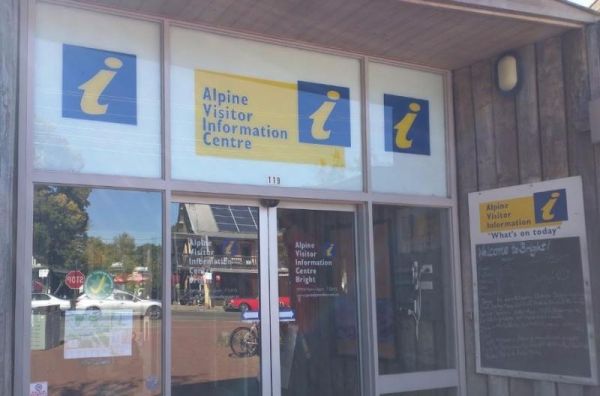
The Alpine Visitor Information Centre is located in the township of Bright and open seven days a week (excluding Christmas day). Entrance to the Alpine Visitor Information Centre Alpine Visitor Information Centre location map
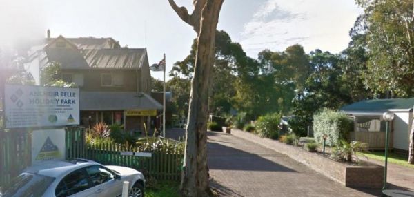
Entrance to the Anchor Belle Holiday Park Anchor Belle Holiday Park location map
Andersons Camping Area
Andersons Garden Camping Area is located within the Mount Disappointment State Forest, with the Sunday Creek running along this campground, it's a nice place for a tent camping adventure.
Entrance to the Andersons Camping Area
Andersons Camping Area l ...
Read More...
Entrance to the Anglesea Beachfront Family Caravan Park Anglesea Beachfront Family Caravan Park location map
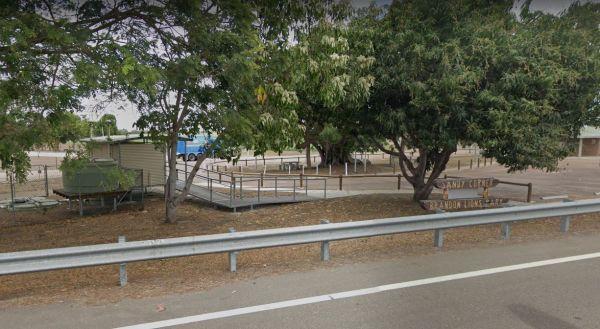
Entrance to the Anglesea Lions Park Reserve Rest Area Anglesea Lions Park Reserve Rest Area location map
The Apex Beach Camping Area has good fishing right next to your campsite on the banks of the mighty Murray River Victoria side, and opposite the NSW town of Tocumwal. Apex Beach Camping Area location map
Entrance to the Apex Club Caravan Park - Leongatha Apex Club Caravan Park - Leongatha location map
Entrance to the Apex RiverBeach Holiday Park Apex RiverBeach Holiday Park location map
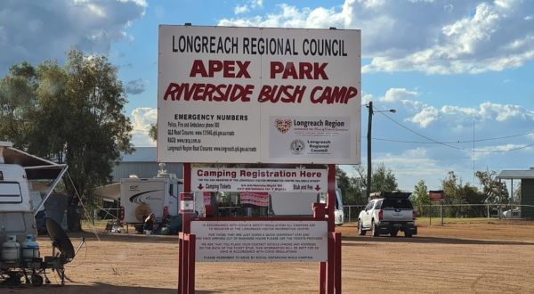
When stopping at the Apex Riverside Park you can enjoy fishing and kayaking, but be prepared for a few neighbours, as this is a popular place to stay. Be wary of the wet season if stopping overnight here. No limit on stay. Wifi available but limit to top ...
Read More...
Apollo Bay Holiday Park
Entrance to the Apollo Bay Holiday Park Apollo Bay Holiday Park location map
Apollo Bay Recreation Reserve
Entrance to the Apollo Bay Recreation Reserve Apollo Bay Recreation Reserve location map
Apollo Bay Rest Area
Entrance to the Apollo Bay Rest Area Apollo Bay Rest Area location map
Apple Tree Creek Rest Area
The Apple Tree Creek Rest Area has the Flying High Bird Sanctuary across the road if your interested and a cafe. This rest spot has picnic tables, a Public toilet and a few rubbish bins. There is room to park your caravan, you will hear the trucks passing ...
Read More...
Ararat and Grampians Visitor Information Centre
Open Hours: 10.00am to 4.00pm everyday
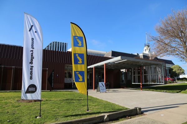
Entrance to the Ararat and Grampians Visitor Information Centre
Ararat and Grampians Visitor Information Centre Location Map
Ararat and Grampians Visitor Inform ...
Read More...
The Archers Crossing Camping Area (Northside) is a basic campsite, with some fireplaces and mobile phone reception. The bush camp is on the banks of the Condamine River where you might be able to catching a fish for dinner.
Archers Crossing Camping Area ...
Read More...
The Archers Crossing Camping Area (Southside) has mobile phone reception and some fireplaces, bbqs and picnic tables and some shade trees located on the banks of the Condamine River. You might like to pop your kayak into the river and try to catch a fish ...
Read More...
The Ardlethan Rest Area has long drop toilets, picnic tables and rubbish bins. You will hear some road noise through the night from the Newell Highway. This rest spot straddles both sides of the Highway and it's popular with truck drivers.
Entrance to th ...
Read More...
Ariah Park Campground
This is an inexpensive place to stay, power is available, a camp kitchen plus you can get a hot shower. When pitching a tent or awning ropes take note that the ground is hard so you need strong pegs and a good hammer.
Entrance to the Ariah Park Campgroun ...
Read More...
Entrance to the Armidale Tourist Park Armidale Tourist Park location map
Armidale Visitor Information Centre
Open Hours:
Monday 9am–5pm
Tuesday 9am–5pm
Wednesday 9am–5pm
Thursday 9am–5pm
Friday 9am–5pm
Saturday 9am–5pm
Sunday 9am–5pmEntrance to the Armidale Visitor Information Centre
Armidale Visitor Information ...
Read More...
The Arno Bay Park Rest Area is a nice place for a stroll along the beach or have a bite to eat at one of the picnic tables, then use the public toilets and rubbish bins. Entrance to the Arno Bay Park Rest Area Arno Bay Park Rest Area location map
Arrowsmith Rest Area
The Arrowsmith Rest Area, has a a few small trees for shade, a public toilet, fireplaces with bbq, undercover picnic tables and rubbish bins. It's located on a gravel surface just off the Brand Highway. No Overnight Camping Permitted This is strictly a Re ...
Read More...
Ascot Holiday Park BIG4
Entrance to the Ascot Holiday Park BIG4 Ascot Holiday Park BIG4 location map
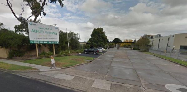
Entrance to the Ashley Gardens BIG4 Ashley Gardens BIG4 location map
Entrance to the Atkinson Park Rest Area Atkinson Park Rest Area location map
Entrance to the Austin Tourist Park Austin Tourist Park location map
At the Australian Butterfly Sanctuary, you can walk amongst the butterflies, see them hatching and growing. The sanctuary has a large display of Australian Butterflies, with lots of plants and a small creek running through the middle.
Open Hours: 9:45am ...
Read More...
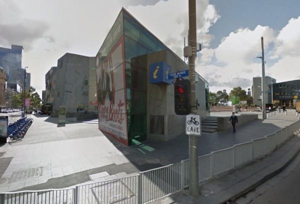
The Australian Visitor Centres is located in Melbourne opposite Flinders Street Railway Station and St Paul's Cathedral, so a few photo opportunities are right on your doorstep.
Open Hours: 9.00am to 6.00pm everyday
Entrance to the Australian Visitor Ce ...
Read More...
Avoca Lions Park has free Camping overlooking the Avoca River its a beautiful place to stop and unwind. The kids can play on the playground and you can sit by and cook dinner on the Barby, or have a crack at fishing in the nearby Avoca River.
Entrance to ...
Read More...
Avoca Shire Turf Club
NOTE: Camp-sites are only available for these two race meetings, and this site is closed to camping for the rest of the year. So Book Now, for the 3rd Saturday in October Avoca Cup same day as the Caulfield Cup, and secure you spot ...
Read More...
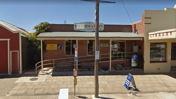
The Avoca Visitor Information Centre located in the business center of Avoca, so you can walk up and down High Street and either window shop, or spend some money.
Open Hours:Monday to Friday 9:30am–4:30pmSaturday and Sunday 11am–2pm
Entrance to the Avoc ...
Read More...
Avondel Caravan Park
Entrance to the Avondel Caravan Park Avondel Caravan Park location map
Aysons Reserve is a great free camping spot, is not bad for an overnight stay or several days with a caravan or tent. This site gets quiet busy during public holidays, there are public toilets and a boat ramp right on the Campaspe River, and you are permi ...
Read More...
The Babinda Rotary Park Campground has picnic tables, rubbish bins and a toilet block a blackwater dump point next to it, there is also a potable water tap in the shower room. The park is on the banks of the Babinda Creek with plenty of room to park all s ...
Read More...
Bacchus Marsh - Rotary Art Show
The Bacchus Marsh - Rotary Art Show is held every year on the Queens Birthday Weekend in June, this Art show has been running for over 45 years and well worth visit if your in the area.
Entrance to the Bacchus Marsh - Rotary Art Show
Bacchus Marsh - R ...
Read More...
Badcoe VC Rest Area
If stopping at the Badcoe VC Rest Area has picnic two tables with a beautiful expansive peace of landscape and Lake George, water is not always present in it, so don't get excited at the prospect of catching fish.
Entrance to the Badcoe VC Rest Area
B ...
Read More...
The maximum number of stays at any of the Balgal Beach Foreshore Reserve Camping Area sites is once per week. Council officers routinely visit camping areas to check on how long people have stayed. If it is found that campers are not complying with this p ...
Read More...
The maximum number of stays at any of the Balgal Beach Foreshore Reserve Camping Area sites is once per week. Council officers routinely visit camping areas to check on how long people have stayed. If it is found that campers are not complying with this p ...
Read More...
Ballina Visitor Information Centre
Open Hours:
Monday 9am–5pm
Tuesday 9am–5pm
Wednesday 9am–5pm
Thursday 9am–5pm
Friday 9am–5pm
Saturday 9am–5pm
Sunday 9am–5pm
Entrance to the Ballina Visitor Information Centre
Ballina Visitor Information ...
Read More...
Entrance to the Balmattum Rest Area (Northbound) Balmattum Rest Area (Northbound) location map
Balranald Visitor Information Centre Open Hours:9am to 4.30pm Mon to Fri9am to 1pm Sat & Sun Free 24 hour RV Parking Entrance to Balranald Visitor Information Centre. Balranald Visitor Information Centre location map.
Ban Ban Springs Rest Area 24 Hour Limit
From the Ban Ban Springs Rest Area has a clear flowing spring bubbling up around rocks, and with an interesting plaque and mural depicting the early inhabitants, the Wakka Wakka's. From here take a short walk up the Burnett Highway to the Roadhouse and gr ...
Read More...
The Bangalow North Rest Area access is from southbound traffic only, with a great view if you decide to pop in for a minute or two. Entrance to the Bangalow North Rest Area Bangalow North Rest Area location map
The Bannister Rest Area has picnic tables and a rubbish bin, there are some trees for shade and plenty room for big rigs and caravans. Entrance to the Bannister Rest Area Bannister Rest Area location map
The Barbour Park is a beautiful place by the river and plenty of room to park your caravan. There are free bbqs, toilets & hot showers, and swimming pool accross the road and you can walk to the main shopping centre on the Old Hume Highway, and spend ...
Read More...
Barcaldine East Rest Area
The Barcaldine East Rest Area has a toilet, picnic tables, rubbish bins a bit of room to park with limited shade. There's not have a lot to do here, apart from take a rest driving, and watch the occasional aeroplane land at the airport across the road.
E ...
Read More...
At the Barcoo River Rest Area you can take a short break from driving. This spot is set well back from the highway with plenty of shade to select from, with undercover picnic tables, rubbish bins, and quiet a few shady spots to park your caravan.
Entran ...
Read More...
Entrance to the Barham Caravan & Tourist Park. Barham Caravan & Tourist Park location map
Entrance to the Barham Lakes Caravan Park Barham Lakes Caravan Park location map
If staying overnight at Barmedman Mineral Pool Rest Area you can visit the mineral pool which is spacious and salty. There are shower facilities to wash away the salt after your dip, or have bbq.
Minimum Camping Fees apply, and a small fee for the shower ...
Read More...
Entrance to the Barmera Apex Park Rest Area Barmera Apex Park Rest Area location map
Entrance to the Barnadown River Reserve Barnadown River Reserve location map
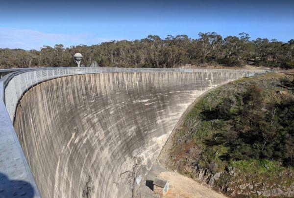
Barossa Reservoir Whispering Wall
You will find the Barossa Reservoir Whispering Wall (Dam wall) was built between 1899 and 1903 its almost a perfect acoustic wall, with sound travelling along its full length using your normal voice levels. Free Entry
Entrance to the Barossa Reservoir Wh ...
Read More...
The Barraba Lions Park Rest Area is a credit to the Lions and Shire council. This is pleasant little area adjacent the main road, offering a bit of shade and covered picnic tables, bbqs and long drop toilets.
Entrance to the Barraba Lions Park Rest Area ...
Read More...
The Bass Valley Reserve Rest Area. This is a nice spot with quite a bit of room to park your caravan. There is an onsite toilet, and a few picnic tables set among the gum trees.
THE LOCAL COUNCIL HAS PERMANENTLY CLOSED THIS REST AREA
Entrance to the ...
Read More...
Batchelor Butterfly Farm And Tropical Retreat
Entrance to the Batchelor Butterfly Farm And Tropical Retreat Batchelor Butterfly Farm And Tropical Retreat location map
Batemans Bay - Birdland Animal Park
Entrance to the Batemans Bay - Birdland Animal Park Batemans Bay - Birdland Animal Park location map
Batemans Bay Tourist Information Centre
Entrance to the Batemans Bay Tourist Information Centre Batemans Bay Tourist Information Centre location map
Entrance to the Bathurst Visitor Information Centre Bathurst Visitor Information Centre location map
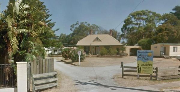
Entrance to the Beach Haven Caravan Park Beach Haven Caravan Park location map
Entrance to the Beach Park Tourist Caravan Park Beach Park Tourist Caravan Park location map
Beacon Resort BIG4
Entrance to the Beacon Resort BIG4 Beacon Resort BIG4 location map
Beaconsfield Showground Rest Area 12 Hour Limit
Entrance to the Beaconsfield Showground Rest Area Beaconsfield Showground Rest Area location map
Beardy Waters Rest Area
The Beardy Waters Rest Area is a quite area and room for your caravan with some shady trees to park under, and quite close to the River. There is undercover picnic tables and fireplace base bbqs, and you can drop a line in or have a paddle in your Kayak w ...
Read More...
Beardy Waters Woodland Park Rest Area
Please Note: Beardy Waters Woodland Park is intended to be a Rest Area Only, and strictly day use for picnics, bush walking, fishing, etc.
No Overnight Camping of any type is permitted.
Entrance to the Beardy Waters Woodland Park Rest Area
Beardy Wat ...
Read More...
Beechworth Lake Sambell Caravan Park
Entrance to the Beechworth Lake Sambell Caravan Park Beechworth Lake Sambell Caravan Park location map
Beechworth Visitor Information Centre
The Beechworth Visitor Information Centre is located in the historic gold mining heart of Beechworth. Here you will gain a lot of knowledge of things to do, and places to visit, and your in for a real treat if you are looking for information about Ned Kel ...
Read More...
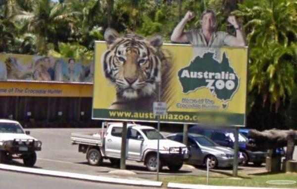
The Beerwah Australia Zoo is really is a wonderful tribute to Steve's legacy, with various shows such as Tiger, Crocodile, and a koala show, so be certain if you visit here not to miss them.
Entrance to the Beerwah - Australia Zoo
Beerwah - Australia ...
Read More...
Entrance to the Bega Lookout Park Rest Area Bega Lookout Park Rest Area location map
The Beggs Bend State Forest Camping Area has quite a few places to camp at, all along this stretch of dirt road which follows the Murray River for a bit.
Entrance to the Beggs Bend State Forest Camping Area
Beggs Bend State Forest Camping Area locatio ...
Read More...
Beleringar Creek Rest Area
When visiting the Beleringar Creek Rest Area you can walk over to Sandy Creek and checkout how much water is flowing. I wouldn't be unpacking the kayak in anticipation just yet. I tagged fishing at this location, but maybe catching a yabby might be more a ...
Read More...
Bellarine Holiday Park BIG4
Entrance to the Bellarine Holiday Park BIG4 Bellarine Holiday Park BIG4 location map
Entrance to the Bellingen Shire Tourist Information Centre Bellingen Shire Tourist Information Centre location map
Entrance to the Bemboka Rest Area Bemboka Rest Area location map
The Ben Hall Park Rest Area is on the main Highway just before the ACT border, with a few covered picnic tables and bins, and some trees spread out if you feel like stretching your legs.
Entrance to the Ben Hall Park Rest Area
Ben Hall Park Rest Area ...
Read More...
Entrance to the Benalla North Truck Parking Rest Area (Northbound) Benalla North Truck Parking Rest Area (Northbound) location map
Benalla Visitor Information Centre overlooks lake Benalla and this centre incorporates a Museum which includes Ned Kelly for those interested in his life.
Open Hours:9.00am to 5.00pm everyday
Entrance to the Benalla Visitor Information Centr ...
Read More...
At the Benaraby Public Campgrounds there are cold showers available, tap water, a public toilet, picnic tables, bbqs, some rubbish bins and you can get phone reception here.
Entrance to the Benaraby Public Campgrounds
Boyne River Rest Area location ma ...
Read More...
The Bendemeer Apex Park Rest Area is a nice spot near to local services, with lots of picnic tables both under shade and under cover. Garbage bins and toilets are there, along with picnic tables and a bbq, plus a completely fenced children playground. The ...
Read More...
The Bendemeer Park Rest Area is located next to the Watson Creek quite a nice place to pull over and relax a bit. Note: No Camping Permitted Entrance to the Bendemeer Park Rest Area Bendemeer Park Rest Area location map
Bendick Murrell Rest Area
Entrance to the Bendick Murrell Rest Area Bendick Murrell Rest Area location map
The Bendigo Visitor Information Center is located in the middle of Bendigo.It has a small Museum exhibition of interesting bits and pieces.Also a wonderful place to get information from helpful and friendly staff, who volunteer their time and pass on thei ...
Read More...
Bermagui Visitor Information Centre Open Hours:7 days 10am - 4pm(closed Christmas Day) Entrance to the Bermagui Visitor Information Centre Bermagui Visitor Information Centre location map
Berriwillock North Rest Area
The Berriwillock North Rest Area is a Truck Stop along the Calder Hwy and next to the Railway Line. Entrance to the Berriwillock North Rest Area Berriwillock North Rest Area location map
Berriwillock Tynan Park Rest Area
At the Berriwillock Tynan Park Rest Area you can pop over to the Golden Crown Hotel for a bite to eat, use the public phone out front, or buy a paper from the Post Office Newsagent.
Entrance to the Berriwillock Tynan Park Rest Area
Berriwillock Tynan ...
Read More...
The Berry Jerry Rest Area has plenty of shady spots to stop on a hot day. There are public toilets, picnic tables and rubbish bins and is a popular Truck stop and it's set-up accordingly to accommodate big rigs, so make sure you park with them in mind.
E ...
Read More...
Berry Springs - Territory Wildlife Park
Entrance to the Berry Springs - Territory Wildlife Park Berry Springs - Territory Wildlife Park location map
From the Bethune Park Camping Area you can go Fishing, Boating, Kayak, and walks along the lake shore are all available from this popular spot. Entrance to the Bethune Park Camping Area Bethune Park Camping Area location map
The Bethungra Rest Area is a short walk along the Olympic Hwy, to the Old Bethungra Hotel and remember to take your camera with you. Entrance to the Bethungra Rest Area Bethungra Rest Area location map
The Bewong Rest Area is a popular place to pull over for many travellers, there is a public toilet, picnic tables and rubbish bins here. Pop over to the Caltex Roadhouse for a bite to eat, and if you need a few bits and pieces for your pantry.
Entrance t ...
Read More...
The Bicentennial Gardens Rest Area has a public toilet, tap water, undercover picnic tables and rubbish bins and plenty of space to park your rig, and close to the Aldi Supermarket, so take advantage and stock up on supplies (GPS -28.850545,153.553775)
E ...
Read More...
Entrance to the Bicheno Caravan Park & Takeaway Food Bicheno Caravan Park & Takeaway Food location map
The Big Bend Camping Area has mobile phone coverage, lots of fishing spots and a few level spots along the Murray River to camp at all with rivergums, and a riverfront view. Entrance to the Big Bend Camping Area Big Bend Camping Area location map
The Big Spring Creek Rest Area is a good overnight location to stop prior to entering into the Bungles, so this place can get pretty crowded at times. There are Public Long Drop Toilets, undercover picnic tables, and bbq facilities and some trees for shad ...
Read More...
Big Toms Beach Camping Area is just a few Kilometres from Cobram and on a nice sandy bank of the Murray River which is good for swimming. This is a lovely open area, with lots of room for several vans. Big Toms Beach Camping Area location map
Entrance to the Billabong Creek Rest Area Billabong Creek Rest Area location map
Australian Wildlife Park with native animals including crocodiles, koalas, kangaroos and wombats. Mingle with kangaroos and wallabies, hold a wombat and there's snake and crocodile handling
Open 7 Days 9am – 5pm
Entrance to the Billabong Sanctuary
Bi ...
Read More...
The Bilyuin Pool Camping Area is a quiet place to camp, and well away from the highway with reasonable level ground to camp on next to the Murchison River. The river water level varies depending on season and drought conditions. Normally there is plenty o ...
Read More...
At the Binalong Rest Area you can take a swim in the swimming pool, have a BBQ or let the kids play on the playground, perhaps take a stroll along the streets and checkout the neighbourhood.
Entrance to the Binalong Rest Area
Binalong Rest Area locati ...
Read More...
The Bindoon Hill Rest Area Bindoon Hill is situated northeast of Mount Byroomanning and this rest area is located on both sides of the Great Northern Highway. There is a public toilet, picnic tables, fireplace with bbqs, and some trees for shade with room ...
Read More...
The Binjour Range Rest Area is a rather pleasant spot, set back from the main road in amongst tall trees, with no noise from passing traffic. This is a nice spot to stay overnight, with relatively level ground, a public toilet, undercover picnic tables an ...
Read More...
Birdcage River Reserve Rest Area
The Birdcage River Reserve Rest Area has lots of room for a caravan and campers covers both sides of the road and is a large area with access to the Murrumbidgee River and plenty of places to rest for an hour or two or try to catch a fish. There are compo ...
Read More...
A lovely place to spend some time, you can find some quite secluded areas to pop the van into, and spend a night or two quite easily here. Entrance to the Black River Camping Area Black River Camping Area location map
At the Blackall Park Rest Area stop and have a picnic using the undercover table and chairs, and watch the occasional car or truck go by. Entrance to the Blackall Park Rest Area Blackall Park Rest Area location map
Entrance to the Blackbutt Reserve Blackbutt Reserve location map
Blackwater Lions Park Rest Area
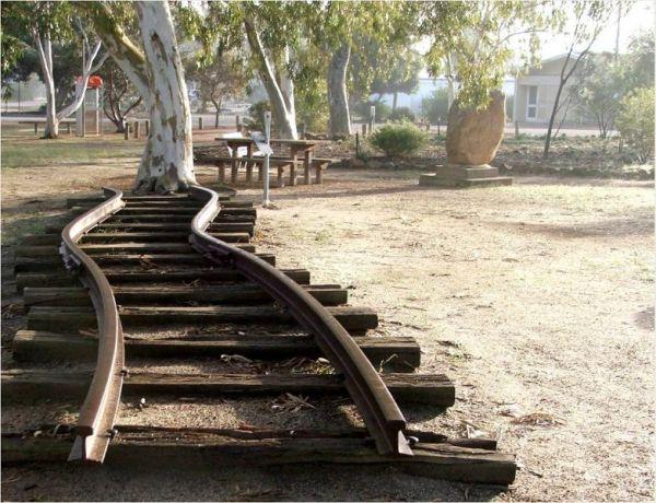
From the Blackwater Lions Park Rest Area you can let the Kids go wild on the Stationary Steam Train they have in this park. There are 6 major open cut coal mines located in the area, and just up the road you will find this Dragline Bucket to admire and ta ...
Read More...
The Blandford Rest Area has a public toilet block, undercover picnic tables and rubbish bins, plus there are fixed BBQ fireplaces scattered around also. The road is a bit on the tight side for large rigs, so you might want to check it out first before com ...
Read More...
Entrance to the Blind Joe Creek Rest Area Blind Joe Creek Rest Area location map
Blue Mountains Heritage Centre
Entrance to the Blue Mountains Heritage Centre Blue Mountains Heritage Centre location map
Bluebird Rest Area
The Bluebird Rest Area is a large level gravell area with a picnic table, fire pit and rubbish bins. There is plenty of space to park your caravan, and this is a popular truck stop. There are a few tracks just off the main parking area for the more advent ...
Read More...
The Bluewater creek runs alongside the Bluewater Park Rest Area is a lovely park area with a clean toilet block and dump point, picnic tables plus a playground for the kids, so check it out while your there.
Entrance to the Bluewater Park Rest Area
Bl ...
Read More...
The Bluff Rest Area is a great stop over if your interested in Trains, you will be able to see some with many carriages, making some of these trains over two kilometres in length from end to end. Bluff is a major interchange for coal trains in the region. ...
Read More...
Bluff Rock Lookout is an impressive rock feature with a sad Aboriginal story of a massacre that took place in 1884. There is room to park your caravan, long drop toilets, bbqs, undercover picnic tables and rubbish bins, and a pretty creek with some nice r ...
Read More...
Bodalla Park Rest Area is an awesome spot, great facilities and close to town, and good for caravans and camper vans. There are also some large flat gravel sites to accommodate large caravans and car, and plenty of nice grassy areas to pitch tents. Long d ...
Read More...
The Bodallin Pioneers Park has a nice childrens playground and an undercover picnic table and it's located next to the Bodallin Roadhouse, so you can get some food and fuel at this stopover, remember that these guys maintain this parking area.
Entrance t ...
Read More...
The Boggabri South Rest Area is just off the Kamilaroi Highway, with room to turn and park your caravan. There is an undercover picnic table, tank water, rubbish bins and public toilets with wheelchair access located here.
If your visiting the Boggabri S ...
Read More...
Bohena Creek Rest Area
Bohena Creek Rest Area is a large asphalted and slightly elevated spot with plenty of room to park all sized caravans and motorhomes. There are trees running alongside the rest area to park under with public toilets offering wheelchair access and a few ru ...
Read More...
The Bonnie Vale Campground has powered and unpowered sites suitable for tents, trailers, and caravans.Located btw Bundeena and Maianbar at the Royal National Park, Swimming, kayaking and fishing are all perfect in these waters.
Note: This campsite can ge ...
Read More...
The Bonorong Wildlife Sanctuary is a community funded site. Your ticket price includes a bag of kangaroo food, so you'll have plenty of new friends when you walk around this place.
Entrance to the Bonorong Wildlife Sanctuary
Bonorong Wildlife Sanctuar ...
Read More...
The Bool Lagoon Turnoff Rest Area is reasonably level with an information wall and an undercover picnic table. Entrance to the Bool Lagoon Turnoff Rest Area Bool Lagoon Turnoff Rest Area location map
The Boolooroo Rest Area is next to the Gydir River so you might be able to catch dinner here. There is a public toilet and undercover picnic tables and a few rubbish bins, with plenty of room to park quite a few caravans.
From the Boolooroo Rest Area you ...
Read More...
Boondi Lookout Rest Area
The Boondi Lookout Rest Area is on the verge ot the Great Eastern Highway with a rubbish bin and no shade. You are close to the highway and will hear every passing car and truck day and night. There's not much to do here apart from taking a rest from the ...
Read More...
Booroorban Rest Area
The Booroorban Rest Area is set well back from the Cobb Highway, next to the Nyangay Creek, which has seasonal flows, there is a bit of shade and a place to rest before heading off again.
Entrance to the Booroorban Rest Area
Booroorban Rest Area locat ...
Read More...
Entrance to the Boort Lakes Holiday Park Boort Lakes Holiday Park location map
Entrance to the Borderland Caravan Park BIG4 Borderland Caravan Park BIG4 location map
Entrance to the Bororen Memorial Park Rest Area Bororen Memorial Park Rest Area location map
Entrance to the Boston Bay Rest Area Boston Bay Rest Area location map
Entrance to the Bottle Bend Forest Reserve Picnic Area Bottle Bend Forest Reserve Picnic Area location map
Bouldercombe Park Rest Area
When at the Bouldercombe Park Rest Area be sure to pop into the Pub which is directly opposite the park, and grab a meal or cold drink to help you on your way. Entrance to the Bouldercombe Park Rest Area Bouldercombe Park Rest Area location map
Entrance to the Bowen South Rest Area Bowen South Rest Area location map
Bowen Visitor Information Centre
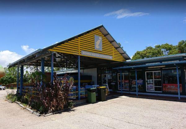
Open Hours:Monday – Friday 8.30am – 5.00pmSaturday and Sunday 10.00am – 3.00pmPublic Holidays 10:30am - 3:00pmClosed Christmas Day, Boxing Day & New Years DayEntrance to the Bowen Visitor Information Centre
Bowen V ...
Read More...
The Bower Rest Area is located next to tennis courts and town hall. A public toilet is onsite and some tank water. Entrance to the Bower Rest Area Bower Rest Area location map
The Bowna Rest Area has a public toilet, some undercover picnic tables and BBQ facilities plus a few rubbish bins Entrance to the Bowna Rest Area Bowna Rest Area location map
The Braefield Rest Area is wedged between the railway line and Kamilaroi Highway. The rest area is fairly level with picnic tables, fireplaces, rubbish bins and plenty of shade to park your caravan under.
Entrance to the Braefield Rest Area
Braefield ...
Read More...
Bramston Beach Campground
The Bramston Beach Campground is Council Run and Bookings are made direct to the Caretakers. Ph: Caretaker on (07) 4067 4121 Entrance to the Bramston Beach Campground Bramston Beach Campground location map
At the Brandons Bend River Reserve Rest Area you crop your Kayak in the Murrumbidgee River and go for a short paddle or drop a line in and try and catch dinner, this is quite a large off road site with plenty of opportunities to park.
Entrance to the Bra ...
Read More...
Branxholme Rest Area
The Branxholme Rest Area is an ideal rest area, with excellent shady areas on the highway. The shady parking bay on the highway has been developed as a commemorative area for soldiers lost during World War One. Byaduk is home to the magnificent Byaduk cav ...
Read More...
Breakaway Twin Rivers Caravan Park location map
The Bream Creek Farmers Market is held on the First Sunday of Every Month from 9.00-1.00pm Entrance to the Bream Creek Farmers Market Bream Creek Farmers Market location map
The Breelong Rest Area has some rubbish bins, bbq facilities along with undercover picnic tables here and some small trees offering some shade from the sun. Entrance to the Breelong Rest Area Breelong Rest Area location map
At the Brentnalls Beach Camping Area, you will need to bring everything you need for your stay, and take away your rubbish with you when you leave. This is a real bush camp with fishing available from your doorstep.
Brentnalls Beach Camping Area location ...
Read More...
Brewarrina Rest Area
The Brewarrina Rest Area is a beautiful little spot down near the old lift span bridge in Brewarrina. There are lots of room for caravans and campers to set up camp at, but access could be boggy if rains. There are undercover picnic tables, a fitness gym, ...
Read More...
Brickmakers Beach Rest Area
The Brickmakers Beach Rest Area is a nice day rest area, with the beach only a short distance from the car park area. I believe it's a bit too rocky for fishing on the left hand side, but you are welcome to prove me wrong. My preference is over off the sa ...
Read More...
Bridgetown - Greenbushes Visitor Information Centre
Entrance to the Bridgetown - Greenbushes Visitor Information Centre Bridgetown - Greenbushes Visitor Information Centre location map
Bridgewater on Loddon Rest Area
The Bridgewater on Loddon Rest Area has a public toilet, and plenty of room to park your camping rigs. When reasonable water levels flow, the Mill Rapid downstream of the Calder Hwy bridge provides technical whitewater kayaking of Grade 3 standard featuri ...
Read More...
Entrance to the Bright Accommodation Park Bright Accommodation Park location map
The Bright Riverside Holiday Park is located on right the banks of the Ovens River, with plenty of poewed and unpowered sites with riverfront views, the only drawback is it close proximity to HT powerlines buzzing overhead.
Entrance to the Bright Riversi ...
Read More...
Brocklehurst Rest Area
Brocklehurst Rest Area is a large gravel area just a short distance from the Newell Highway with a few trees for shade that you will be sharing with truck drivers, so please allow them plenty of room. There are undercover picnic tables, public toilets and ...
Read More...
Broken Creek Bush Camp
Entrance to Broken Creek Bush Camp Broken Creek Bush Camp Location Map
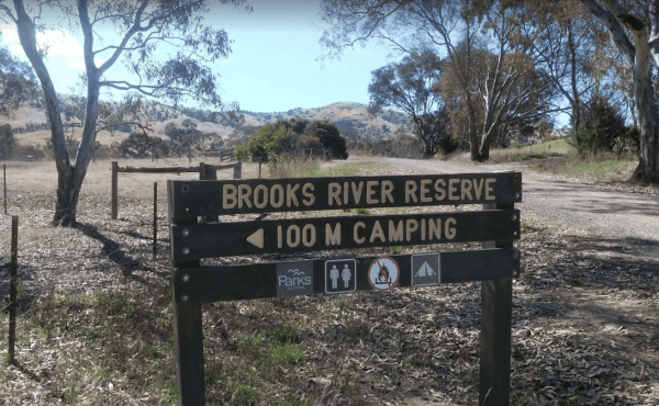
The Brooks River Reserve Camping Area can be dusty during the summer months and very quiet and peaceful, it's a lovely spot with a long drop toilet. It's a bit of a steep 200 metre walk down to the Goulburn River, but not bad one there.
Brooks River Rese ...
Read More...
Entrance to the Broome Visitor Information Centre Broome Visitor Information Centre location map
The Brown Mountain Rest Area has plenty of room to pull over for an hour to revive yourself and work out where your next camp will be. There is plenty of level ground to park your caravan or motorhome with a few sparse trees for shade, and a rubbish bin ...
Read More...
Bruces Beach Camping Area is another secluded rough bush camp with a nice waterfront view, from the campsite you choose. Bruce's Beach Camping Area location map
The Bruces Bend Camping Area has Non-flush toilets and picnic tables and a boat ramp all close to the Murray River. Bruces Bend Camping Area location map
Bulahdelah South Rest Area
The Bulahdelah South Rest Area is a popular truck stop, all I can suggest is to keep out of the sun, pick a shady spot near the trees, rest a bit, then on your way again.
Entrance to the Bulahdelah South Rest Area
Bulahdelah South Rest Area location m ...
Read More...
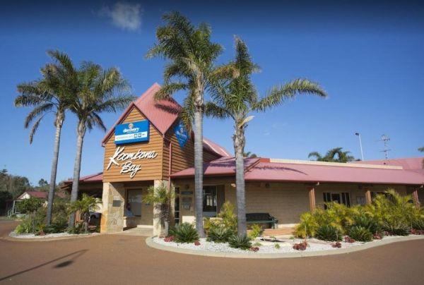
Entrance to the Bunbury Foreshore - Discovery Parks Bunbury Foreshore - Discovery Parks location map
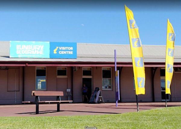
Entrance to the Bunbury Visitor Information Centre Bunbury Visitor Information Centre location map
Bundaburrah Rest Area
Entrance to the Bundaburrah Rest Area Bundaburrah Rest Area location map
Entrance to the Bundalong Rest Area Bundalong Rest Area location map
Entrance to the Bundure Rest Area Bundure Rest Area location map
The Bung Bong Rest Area has an old decommissioned Anglican church, which has a date inscription above the door showing 1876. Entrance to the Bung Bong Rest Area Bung Bong Rest Area location map
Bunyip Hole Reserve Camping Area
The Bunyip Hole Reserve Camping Area is a bush camp on the banks of the Murrumbidgee River with plenty of shade and fishing opportunities to catch Yellowbelly and Murray Cod. Bunyip Hole Reserve Camping Area location map
Bunyip River Rest Area
The Bunyip River Rest Area Set back a short distance from the Princes Freeway, you can let the kids run without fear of them getting run over. Entrance to the Bunyip River Rest Area Bunyip River Rest Area location map
Burnt Creek Rest Area
The Burnt Creek Rest Area is a nice shady place to pull over for a rest, have a sit on the picnic tables and relax a bit. Entrance to the Burnt Creek Rest Area Burnt Creek Rest Area location map
Burracoppin Centenary Park
The Burracoppin Centenary Park has flushing public toilets, some shade trees, undercover picnic tables, bbqs, water taps and just across from the Tavern where you can grab a cold drink to help wash away the dust. This park is on the corner of Great Easter ...
Read More...
At the Burraga Dam Camping Area you can take a walk around, and you will find some old fish hatchery ponds, and a few other things of interest, so take your camera with you.
P.S. The Burraga Dam is a great place to catch a fish or two while your there. ...
Read More...
Burrill Lake Park Rest Area
Entrance to the Burrill Lake Park Rest Area Burrill Lake Park Rest Area location map
The Bush Bay Camping Area, is another easy to miss turn from the main road to the camping area. Follow the dirt road to a T junction, then turn right to the camping area right on the ocean. This campsite is very close to the ocean, and is no longer a free ...
Read More...
Entrance to the Bushlands Holiday Village and Caravan Park Bushlands Holiday Village and Caravan Park location map
Bushy Parker Park Rest Area 48 Hour Limit
The Bushy Parker Park Rest Area has flushing public toilets and a blackwater dump point, water taps connected to town water, picnic tables, bbqs next to a beautiful creek. The local store and police station are just down the road. Understandably this is a ...
Read More...
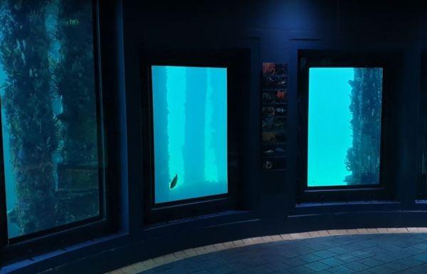
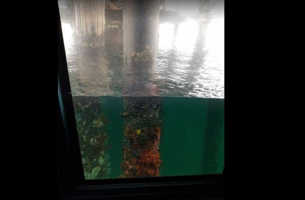
Busselton Underwater Observatory location map
Entrance to the Busselton Underwater Observatory Busselton Underwater Observatory location map
Entrance to the Busselton Visitor Information Centre Busselton Visitor Information Centre location map
Calder Inbound Rest Area Southbound Only
At the Calder Inbound Rest Area Southbound, you can grab a bite to eat or fill your fuel tank plenty of parking at the rear of this stop. Public Telephone onsite.
Entrance to the Calder Inbound Rest Area Southbound Only
Calder Inbound Rest Area Southb ...
Read More...
Calder Outbound Rest Area Northbound Only
At Calder Outbound Rest Area Northbound, you can fill up with fuel and pop in for a choice of takeaways with plenty of space to park your Caravan or RV onsite. There is also a public telephone and Tourist Information available.
Entrance to the Calder Out ...
Read More...
Entrance to the Calder Tourist Park Calder Tourist Park location map
The Calder Woodburn Memorial Rest Area is right on the edge but separated by a wire crash barrier and very easy to miss the turn-off. There are a few picnic tables where you can enjoy a meal and watch the traffic go by.
Entrance to the Calder Woodburn Me ...
Read More...
Calliope River Rest Area 48 Hour Limit
The Calliope River Rest Area has spacious camping areas on both sides, with the opportunity to sleep the night next to the Calliope River. There are public drop toilets, fireplaces and fishing and it is a popular spot to free camp.
Be Aware: Crocodiles a ...
Read More...
Entrance to the Calypso Holiday Park Calypso Holiday Park location map
Campbell Town Lions Park Rest Area
The Campbell Town Lions Park Rest Area is a place to relax and take in the tranquil scenery, grab your kayak and g for a paddle, try your luck at catching dinner, grab your bikes and ride around town, all in all plenty to do here.
Entrance to the Campbel ...
Read More...
Campbells Reserve Camping Area
The Campbells Reserve Camping Area is a genuine bush camp where you bring and take everything with you, located on the banks of the Murrumbidgee River, fishing at your doorstep, and generally your on your own as these sites are hardly ever marked with cle ...
Read More...
Campbelltown Visitor Information Centre
Campbelltown Visitor Information Centre Open Hours:Weekdays: 8.30am to 4.30pmWeekends: 10.00am to 3.00pm Entrance to the Campbelltown Visitor Information Centre Campbelltown Visitor Information Centre location map
The Canadian Gully Bushland Reserve Rest Area you might be lucky and catch a yabbie or two for the tucker bag. Entrance to the Canadian Gully Bushland Reserve Rest Area Canadian Gully Bushland Reserve Rest Area location map
Canberra - National Zoo & Aquarium
Entrance to the Canberra - National Zoo & Aquarium Canberra - National Zoo & Aquarium location map
The Canberra and Region Visitors Centre:
Open 9am-5pm weekdays
9am-4pm weekends and public holidays
Closed Christmas Day
Entrance to the Canberra and Region Visitors Centre
Canberra and Region Visitors Centre location map
Local weather forec ...
Read More...
Entrance to the Canberra South Motor Park Canberra South Motor Park location map Local weather forecast for the Symonston area of ACT: https://www.willyweather.com.au/act/canberra/symonston.html
The Candelo Rest Area has a Sunday Market and public toilet close to a children's playground that's worth visiting, plus a good general store and café directly opposite so you can easily restock your pantry, plus a public phone-box.
Entrance to the Cande ...
Read More...
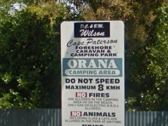
Cape Paterson Foreshore Caravan Park
Entrance to the Cape Paterson Foreshore Caravan Park Cape Paterson Foreshore Caravan Park location map
The Clarence Pirie Memorial Park has public toilets and rubbish bins and is next door to the Capertee Rest Area, with a children’s playground. You can also take a short stroll around town quite easily and be back in next to no time a all.
Entrance to the ...
Read More...
Entrance to the Capital Country Holiday Park Capital Country Holiday Park Location Map
The Caragabal Rest Area has a small area to park on with a public toilet and no shade, you can take a walk down the street to stretch your legs and maybe make a phone call from the telephone box.
Entrance to the Caragabal Rest Area
Caragabal Rest Area ...
Read More...
The Cardwell Park Rest Area is a nice place for a break from the road or for a picnic. There is soft grass, shady trees, picnic shelters and tables and you can take a stroll along the beach, and take in the sea air for an hour or two.
Entrance to the Car ...
Read More...
Open Hours:
JUNE - OCTOBER
Monday to Friday – 9am – 5pm
Saturday – 9am – 12pm
Sunday (June to October only) – 9am to 12pm
NOVEMBER - MAY
Monday to Friday – 9am – 5pm
Saturday – 9am – 12pm
Sunday – Closed
Christmas to New Years - Clos ...
Read More...
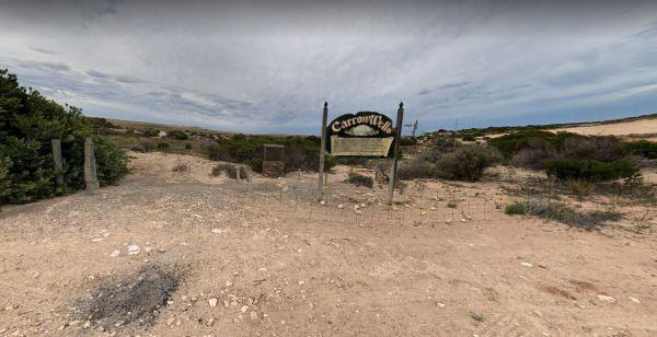
Carrow Wells Campground
The Carrow Wells Campground is very close to a beautiful beach, with a public toilet, and it's a short distance from the North Coast Road, and is a gravel surface.
There is an interesting sign explaining the history of the site and its link to the Aborig ...
Read More...
Carrum Downs Holiday Park
Entrance to the Carrum Downs Holiday Park Carrum Downs Holiday Park location map
The Casey Weir Rest Area is located on the Broken River set well back from the Midland Hwy and just a short walk to the Weir itself. Entrance to the Casey Weir Rest Area Casey Weir Rest Area location map
The Cassilis Park Rest Area is a big spacious area covered picnic tables, public long drop toilet, fire pits and rubbish bins. This spot is set well back and elevated from the Golden Highway, you will have access to many shady places to park your caravan. ...
Read More...
The Casterton Park Rest Area is on the banks of the Glenelg River, and the Casterton Bridge is within easy walking distance. Entrance to the Casterton Park Rest Area Casterton Park Rest Area location map
The Casterton Visitor Information Centre the Racecourse Road turn off is not far from the Glenelg River. Once your here there are a few picnic tables and BBQ facilities at your disposal.
Open Hours: 9.00am to 5.00pm everyday
Entrance to the Casterton Vi ...
Read More...
Castlemaine Central Cabin Van Park
Entrance to the Castlemaine Central Cabin Van Park Castlemaine Central Cabin Van Park location map
Castlemaine Gardens Caravan Park
Entrance to the Castlemaine Gardens Caravan Park Castlemaine Gardens Caravan Park location map
Castlemaine Visitor Information Centre
The Castlemaine Visitor Information Centre has a ramp access out the back, so this makes access really easy for those of needing to use wheelchairs.Once your inside you'll see plenty of maps, some artwork and local wares to purchase plus a range of souven ...
Read More...
The Catamaran Campground and Boat Ramp, is great little spot for camping, boating, fishing and kayaking. There are quite a few nice spots to do an overnighter or two. A handy public toilet and a modern fishing platform for the little ones to try their luc ...
Read More...
Entrance to the Cathcart Rest Area Cathcart Rest Area location map
Caurnamont Reserve Rest Area
From the Caurnamont Reserve Rest Area you can take the ferry across the Murray River to Purnong Landing. Entrance to the Caurnamont Reserve Rest Area Caurnamont Reserve Rest Area location map
Cavendish Recreation Reserve Camping Area has Power available along with Hot Showers. (Thanks goes to Mike Wright for this updated information.) Important: Due to Covid-19 All campers must be fully self contained (Toilet, Shower, cooking etc) until furthe ...
Read More...
Entrance to the Caversham Wildlife Park Caversham Wildlife Park location map
Entrance to the the Central City Caravan Park.
Central Goldfields Visitor Information Centre
The Central Goldfields Visitor Information Centre in the heart of Maryborough, parking with a caravan hitched is a big problem, so you will need to park some distance away and walk it.
Open Hours: 9.00am to 5.00pm everyday
Entrance to the Central Goldfi ...
Read More...
The Chandada Pioneer Park runs alongside the main highway, level area and OK for a break from driving and a picnic using the table provided. Entrance to the Chandada Pioneer Park Chandada Pioneer Park location map
The Chapman Valley Rest Area has a few trees for shade, undercover picnic tables, undercover bbq facilities, public toilet block, rubbish bins, and it's set back on a large gravel surface, with plenty of space to park the largest caravan.
Entrance to the ...
Read More...
Charlton Gordon Park has the Avocca River running alongside the park area To camp here your rig must have it's own toilet facilities, as you cannot use the park amenities. Entrance to the Charlton Gordon Park Charlton Gordon Park location map
The Cherrypool Park is next to the Glenelg River. with room to maneuver and places to park along this dirt road. You can try your hand at fishing or grab a camera and stretch your legs. If your in need of the toilets you have a around half a kilometer to ...
Read More...
The Cherrypool Park Rest Area is next to Cherrypool waterhole on the Glenelg River It's a nice place to stop and have a picnic. Entrance to the Cherrypool Park Rest Area Entrance to the Cherrypool Rest Area
At the Chinaman Creek Dam Recreation Park you should keep an eye open for freshwater crocodiles in the dam, take your kayak for a spin and a camera in case something pops up out of the water with big teeth, or try your hand at fishing.
NO CAMPING PERMITT ...
Read More...
Chinchilla Weir Camping Area
While at the Chinchilla Weir Camping Area you will enjoy hearing hardly any traffic noise, as the main camping area is set well away from the road. Approx 8 powered sites - donation can be made at tourist info centre for power. Drop the kayak and go for a ...
Read More...
Entrance to the Chittering Tourist Promotion Centre Chittering Tourist Promotion Centre location map
At the Clairview Park Rest Area Fishing is mainly at High Tide, unless you want to walk forever in the mud, and run like hell when the tide turns hahahaha, and when you do catch a fish there are electric and wood-fired BBQs available.
No Camping Permitte ...
Read More...
The Clarendon Rest Area has plenty of trees to keep the sun off you, picnic tables and some rubbish bins, and lots of room to park your caravan. Entrance to the Clarendon Rest Area Clarendon Rest Area loction map
The Claude Wharton Weir Park is busy in the morning with locals taking a walk, nice boat ramp and plenty of opportunities to get your line wet, it's well worth a peek.
NO CAMPING PERMITTED
Entrance to the Claude Wharton Weir Park
Claude Wharton Weir ...
Read More...
The Clay Wells Rest Area is a level area that runs parallel to the Princes Highway with not a lot between you and the road. Entrance to the Clay Wells Rest Area Clay Wells Rest Area location map
Cliff Head North Rest Area 72 Hour LImit
The Cliff Head North Rest Area as long as you are self sufficient this is a great place for you. There are three public toilets and undercover picnic tables and rubbish bins. There is plenty of turning area for big rigs. Shade from trees for your campsite ...
Read More...
Cloncurry Visitor Information Centre
Open hours:Monday to Friday 8.30am - 4:30pmWeekends & Public Holidays 9am – 4.30pmMay to end of October 9am – 2pmClosed Christmas Day, Boxing Day & New Years Day
The highest recorded temperature for Cloncurry ...
Read More...
Entrance to the Clover Hills Rest Area Clover Hills Rest Area location map
Entrance to the Clunes Caravan Park Clunes Caravan Park location map
The Coach Road Rest Area is a Popular Truck overnight rest area so expect to have plenty of company if you decide to stay here. Entrance to the Coach Road Rest Area Coach Road Rest Area location map
Entrance to the Coachman Tourist Park Coachman Tourist Park location map
Entrance to the Coalfields Caravan Park Coalfields Caravan Park location map
Cobbledicks Ford Reserve
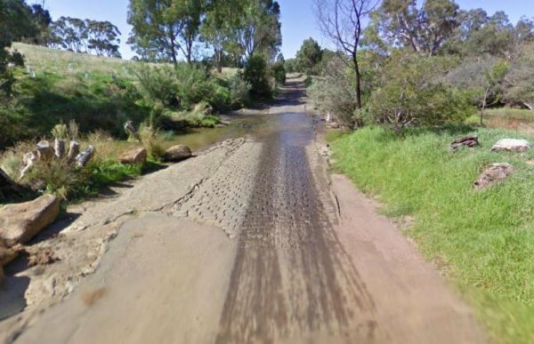
The Cobbledicks Ford Reserve is a historic site with the river crossing at the Werribee River, it has bluestone pavers laid across it, and you can go for a walk along the tracks. This location is very close to Tarneit, Hoppers, Werribee and Wyndham Vale. ...
Read More...
Entrance the the Cobram East Caravan Park Cobram East Caravan Park location map
The Cobram Showground Free Dump Point is easy to access. Entrance to the Cobram Showground Free Dump Point Cobram Showground Free Dump Point location map
The Cobram Visitor Information Centre has a dedicated Caravan and Big Rig Parking Off Punt Road, just past the Roundabout. Entrance to the Cobram Visitor Information Centre Cobram Visitor Information Centre location map
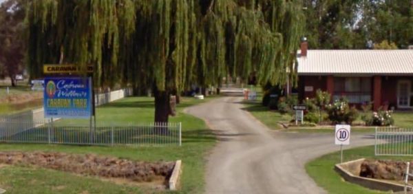
Entrance to the Cobram Willows Caravan Park Cobram Willows Caravan Park location map
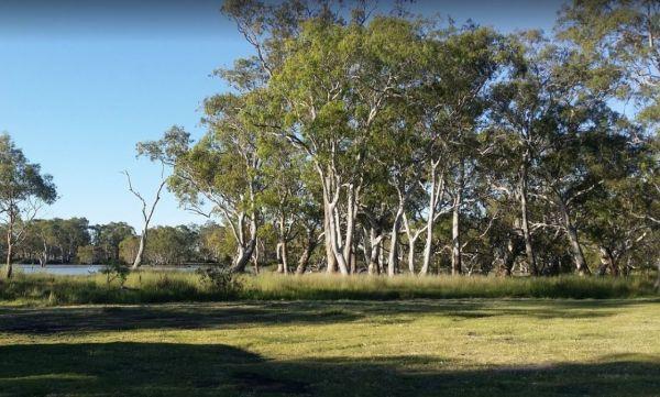
Cobrawonga Island Camping Area
Cobrawonga Island Camping Area location map
The Cockatoo Lake Reserve is a lovely bush camp where you can take the kids with you. The lake itself may or maynot have water in it, due to seasonal drought conditions. Cockatoo Lake Reserve location map
Coffs Coast Visitor Information Centre
Entrance to the Coffs Coast Visitor Information Centre Coffs Coast Visitor Information Centre location map
The Cohen Rest Area has a few fireplaces with plenty of space to park your caravan with easy access for all sized rigs, there are some rubbish bins and lots of shady spots to choose from. If you do stay overnight, you will hear some traffic noise as truck ...
Read More...
The Cohuna Gateway to Gannawarra Visitor Centre backs onto the Gunbower Creek. Cohuna township is nicely set up for RV free camping in the town centre, its for fully self contained caravans and motorhomes only. There is a RV dump site opposite the caravan ...
Read More...
Entrance to the Cohuna Waterfront Holiday Park Cohuna Waterfront Holiday Park location map
Entrance to the Cohunu Koala Park Cohunu Koala Park location map https://goo.gl/maps/2pMxfstfkZVYVH7J7
Colac Colac Caravan Park
Entrance to the Colac Colac Caravan Park Colac Colac Caravan Park location map
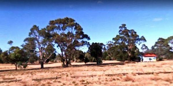
Entrance to the Collie East Rest Area Collie East Rest Area location map
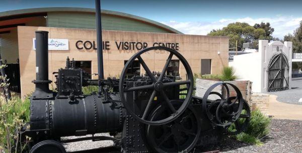
Entrance to the Collie Visitor Information Centre Collie Visitor Information Centre location map
Entrance to the Colombo Park Colombo Park location map
Conara Roadside Park Rest Area why not pop in and take a short break, walk down to the main town for a bit of exercise, pass 33 or so houses, and you’ve seen it all. And the Railway Station.
Entrance to the Conara Roadside Park Rest Area
Conara Roadsi ...
Read More...
At the Condamine Park you can let the kids enjoy the slide and a bit of a run around, while you checkout the Condamine River nearby, or walk over to the Pub and grab a meal or cool drink. Entrance to the Condamine Park Condamine Park location map
Coo-Ee March Memorial Park is a good rest stop option along the Newell Highway. Some shady trees, covered picnic tables and benches and public toilet and rubbish bins, next to the historical society building.
Entrance to the Coo-Ee March Memorial Park ...
Read More...
Coober Pedy Tourist Information Centre
Coober Pedy Tourist Information Centre Opening Hours:Monday to Friday 9am to 5pmweekends and public holidays 9am to 1pm Entrance to the Coober Pedy Tourist Information Centre Coober Pedy Tourist Information Centre location map
Coochin Creek Camping Area
Coochin Creek Camping Area is a flat, grassy area beside Coochin Creek, ideal for visitors who enjoy fishing and boating and there is also a boat ramp available. Entrance to the Coochin Creek Camping Area Coochin Creek Camping Area location map
Cooee Point Reserve toilets are a real ramshackle affair, well worth taking the camera just to show your friends how you had to rough it while camping. Entrance to the Cooee Point Reserve Cooee Point Reserve location map
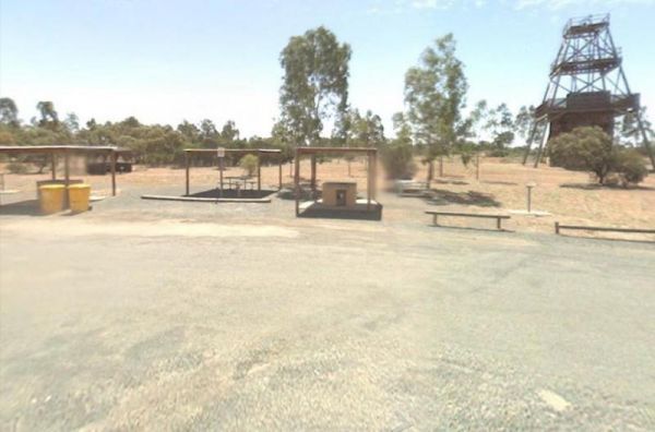
The Cooinda Reserve Poppet Head Mine Rest Area is a a short walk to the Old mining Poppet Head and get your photo taken next to it. There are bbq facilities, undercover picnic tables and rubbish bins, with plenty of room to park your caravan.
Entrance to ...
Read More...
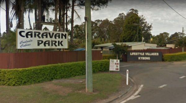
Entrance to the Cooloola Caravan Park Cooloola Caravan Park location map
Coomandook Park Rest Area
The Coomandook Park Rest Area is set just a short distance from the Dukes Highway, not a lot to do apart from resting before heading off again. Entrance to the Coomandook Park Rest Area Coomandook Park Rest Area location map
The Coonalpyn Soldiers Memorial Caravan Park is an older style park, but everything thing you need is available here, and very reasonably priced.
Entrance to the Coonalpyn Soldiers Memorial Caravan Park
Coonalpyn Soldiers Memorial Caravan Park locatio ...
Read More...
Coonawarra Bush Holiday Park
Entrance to the Coonawarra Bush Holiday Park Coonawarra Bush Holiday Park location map
Coonawarra Rest Area
The Coonawarra Rest Area is reasonably flat and surrounded by winery vines, it's a rather pretty place to pop in for a few minutes, and have a bite to eat at the picnic table provided.
Entrance to the Coonawarra Rest Area
Coonawarra Rest Area location ...
Read More...
The Cooyar Swinging Bridge Park is set well back from the main road. If you need power, walk over to the Pub and grab the key for a small fee. Entrance to the Cooyar Swinging Bridge Park Cooyar Swinging Bridge Park location map
The Coraki Riverside Caravan Park is close to shops and right on the Richmond river. Great for bike rides, fishing, kayaking, boats etc. There is also an off leash dog area
The Coraki Art Festival - October each year
Entrance to the Coraki Riverside ...
Read More...
The get to the Corryong Park Rest Area from Murray Valley Highway, NW into Donaldson St at Corryong College, 800m to saleyards. Exit Dump Point area via the saleyards as the trees have closed off the normal exit.
Entrance to the Corryong Park Rest Area ...
Read More...
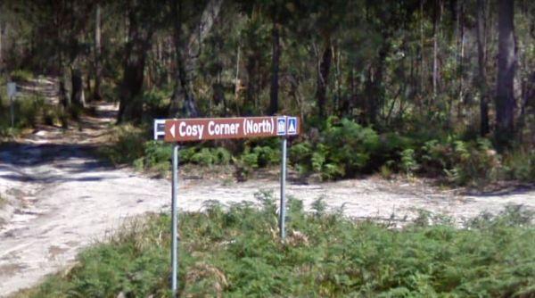
Cosy Corner North Campground
Cosy Corner North Campground is a beautiful camp next to the beach and some great fishing of the rocks, and stunning beach walks that the shell collectors amongst you will also be happy with. Plenty of room to park your caravan and drop toilets available ...
Read More...
Cosy Corner South Campground
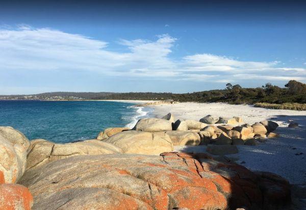
The Cosy Corner South Campground has a fantastic morning view of the Bay of Fires and is popular around School Holiday time, and you will see why, once you walk down to the white sand with orange lichen covered Granite Boulders strewn around. This campgro ...
Read More...
Entrance to the Cowell Park Rest Area Cowell Park Rest Area location map
The Cowra Visitor Information Centre is Opposite McDonalds Playground located in Olympic Park Open Hours:9.00am to 5.00pm everyday Entrance to the Cowra Visitor Information Centre Cowra Visitor Information Centre location map
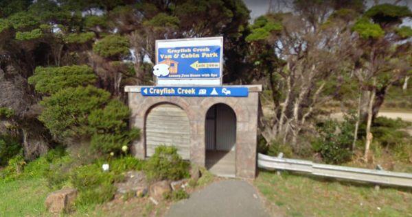
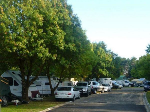
Crayfish Creek Van and Cabin Park
The Crayfish Creek Van and Cabin Park has good facilities and they have an after hour phone number available plus an on site manager 24 hours a day. Entrance to the Crayfish Creek Van and Cabin Park Crayfish Creek Van and Cabin Park location map
Entrance to the Creswick Calembeen Lake Caravan Park Creswick Calembeen Lake Caravan Park location map
Crystal Brook Holiday Centre
Entrance to the Crystal Brook Holiday Centre Crystal Brook Holiday Centre location map
The Culburra North Rest Area is reasonably flat and there is a few areas further back on dirt tracks worth a look, but close to train line. Entrance to the Culburra North Rest Area Culburra North Rest Area location map
Entrance to the Culgoa South Rest Area Culgoa South Rest Area location map
The Currajong Rest Area has public toilets, a few rubbish bins, a few trees for shade and lots of space to park your caravan. This is a popular truck stop next to the highway, so don't expect to get too much sleep, if you decide to stay overnight here.
E ...
Read More...
The Dadswells Bridge South Rest Area, has a few trees for shade, a couple of picnic tables and rubbish bins. This is a place to pull over when feeling like you need a break from driving.
Entrance to the Dadswells Bridge South Rest Area
Dadswells Bridg ...
Read More...
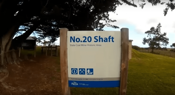
The Dalyston No 20 Shaft Historical site is the site of Australia's works underground coal mining disaster. the events that occured here changed all underground mining in Australia forever, with improved safety conditions, and making them mandatory across ...
Read More...
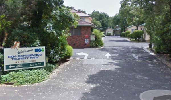
Dandenong Tourist Park Big4
Entrance to the Dandenong Tourist Park Big4 Dandenong Tourist Park Big4 location map
The Dangar Falls Picnic Area has a great photographic opportunity in almost any direction, as long as you're pointing at the waterfall hahaha. It's easy walking along the boardwalk.
Entrance to the Dangar Falls Picnic Area
Dangar Falls Picnic Area loc ...
Read More...
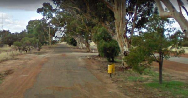
The Dangin Rest Area is along a level tree lined gravel stretch of road running next to the Quairading York Road, There is a rubbish bin, plus a bit of shade to park your caravan, and nothing else to do apart from taking a break and continuing your journe ...
Read More...
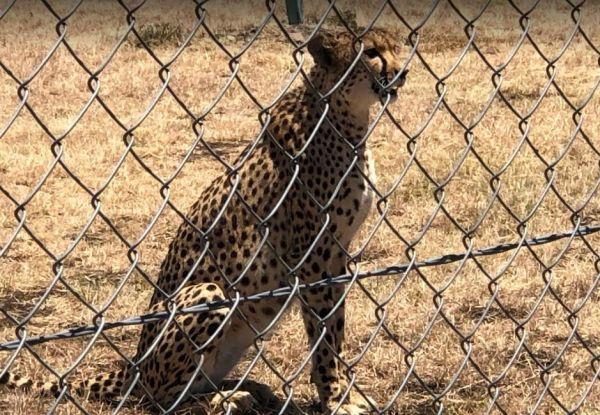
The Darling Downs Zoo has quite a few exotic cats and other species. The entrance fees are very reasonable, you can feed certain animals, but their main attraction has to be the white lions.
Entrance to the Darling Downs Zoo
Darling Downs Zoo location ...
Read More...
Entrance to the Discovery Parks - Darwin Map Location to the Discovery Parks - Darwin
Daylesford Regional Visitor Information Centre
Daylesford Regional Visitor Information Centre, has the best information so you can plan which sights to visit first. There are plenty of information pamphlets to peruse.
Entrance to the Daylesford Regional Visitor Information Centre
Daylesford Region ...
Read More...
Daylesford Victoria Caravan Park
Entrance to the Daylesford Victoria Caravan Park Daylesford Victoria Caravan Park location map
Dead Mans Point Rest Area
The Dead Mans Point Rest Area is for fishing and that’s about all there is to do at this location, unless you want to play with your kayak. Entrance to the Dead Mans Point Rest Area Dead Mans Point Rest Area location map
Dead River Beach Camping Area is great when it's not raining, if you're unfortunate and it dos rain, the whole camp gets flooded. Apart from that it's a nice place to stay for an hour or two on the banks of the Murray River.
Dead River Beach Camping Area ...
Read More...
Entrance to the Denmark Visitor Information Centre Denmark Visitor Information Centre location map
Depot Beach Campground
Entrance to the Depot Beach Campground Depot Beach Campground location map
The Derby Park is set well back from the main road, with a river right next to your spot you have pulled over at. If you have a bike with you, ride over to Briseis Lake Entrance to the Derby Park Derby Park location map
Derrick VC Rest Area
While stopping at the Derrick VC Rest Area, is a good place for rest with trees for shade, public toilets with hand wash basin, undercover picnic tables, rubbish bins and tank water. Take a look at the Towrang Bridge, it's a Convict built bridge from a by ...
Read More...
Derrinallum Recreation Reserve Rest Area 24 Hour Limit
The Derrinallum Recreation Reserve Rest Area is a free camp run by the local council, so drop some money in town and make a donation if you use this spot.
Entrance to the Derrinallum Recreation Reserve Rest Area
Derrinallum Recreation Reserve Rest Are ...
Read More...
The Diana's Basin Camping Area is another sandy beach within easy walking distance of your camp, you can try and catch a fish for supper. Entrance to the Diana's Basin Camping Area Diana's Basin Camping Area location map
Dicks Bend Camping Area
If going to the Dicks Bend Camping Area, you should bring everything you need to make life comfortable, and take away your rubbish when you leave. Dicks Bend Camping Area location map
Entrance to the Dimboola Riverside Caravan Park Dimboola Riverside Caravan Park location map
The Dogwood Creek Rest Area is just a short walk to the creek to drop a line in and try your luck, or Pop the Kayak in and take it for a quick explore of the area. Entrance to the Dogwood Creek Rest Area Dogwood Creek Rest Area location map
The Donald Lakeside Caravan Park is a beautiful lakeside area with large sites and very clean amenities. There is an honesty box, and the caretaker drops in daily to collect for powered sites.
Entrance to the Donald Lakeside Caravan Park
Donald Lakesi ...
Read More...
Entrance to the Dongara Free Dump Point Dongara Free Dump Point location map
Entrance to the Dongara – Port Denison Visitors Centre Dongara – Port Denison Visitors Centre location map
Doolans Bend Camping Area
The Doolans Bend Camping Area has the Murray River at your doorstep, and all associated water activities at your pleasure are available here. Doolans Bend Camping Area Doolans Bend Camping Area location map
Doon Reserve Caravan Park
Entrance to the Donald Lakeside Caravan Park Donald Lakeside Caravan Park location map
If your tired, pull into the Drain M Rest Area, otherwise keep driving, because all that's here, is a small row of trees for shade, and a rubbish bin on a fairly level surface. Entrance to the Drain M Rest Area Drain M Rest Area location map
When stopping at the Drillham Rest Area that has parking spaces on both sides of the road, you can take a stroll along the banks of the creek, paddle your kayak or simply take a quick look around the small town.
Entrance to the Drillham Rest Area
Dril ...
Read More...
Entrance to the Dromana Holiday & Lifestyle Village Dromana Holiday & Lifestyle Village location map
The Duaringa Campgrounds is a popular spot with very good amenities provided by the local council. You should pop a donation at the visitors centre, to help offset the cost of running the hot showers and free drinking water.
Entrance to the Duaringa Camp ...
Read More...
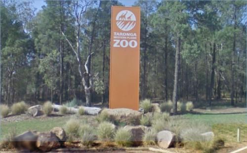
Taronga Western Plains Zoo, formerly known as Western Plains Zoo and commonly known as Dubbo Zoo, is a large zoo near Dubbo, New South Wales, Australia.
The Zoo opened to the public on 28 February 1977, to provide more living and breeding space for large ...
Read More...
Dubbo West Rest Area
Entrance to the Dubbo West Rest Area Dubbo West Rest Area location map
The Dublin Lions Park Rest Area does not offer a lot of shelter from the sun or road traffic noise, but it's a place to pull over and take advantage of the undercover picnic table.
Entrance to the Dublin Lions Park Rest Area
Dublin Lions Park Rest Are ...
Read More...
The Dublin North Rest Area does not a lot of shelter from the sun or road traffic noise, but it's a place to pull over and take advantage of the undercover picnic table. Entrance to the Dublin North Rest Area Dublin North Rest Area location map
If your stopping at the Dululu Rest Area pop in to the Dululu Hotel for showers and power if needed, walk over to the Dee River and cast a line in to try and catch lunch. Entrance to the Dululu Rest Area Dululu Rest Area location map
Entrance to the Dumboy Creek Rest Area Dumboy Creek Rest Area location map
Entrance to the Dunalley Hotel Camping Area Dunalley Hotel Camping Area location map
Entrance to the Dunolly Caravan Park Dunolly Caravan Park location map
Dwellingup History and Visitor Information Centre
Entrance to the Dwellingup History and Visitor Information Centre Dwellingup History and Visitor Information Centre location map
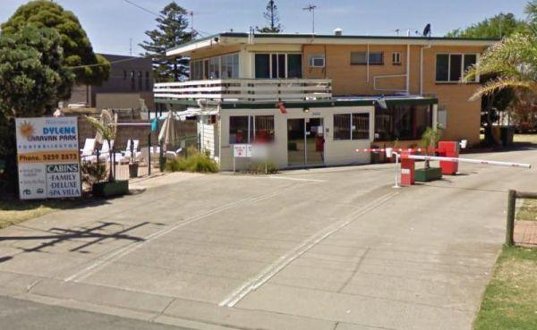
Dylene Caravan Park
Entrance to the Dylene Caravan Park Dylene Caravan Park location map
The Eadine Springs Rest Area is a good place to stop over for the night for motorhomes, caravans etc. There are some undercover picnic tables, wood fired bbqs, rubbish bins, and some shady trees to park under.
Entrance to the Eadine Springs Rest Area ...
Read More...
Eagle Point Caravan Park
Entrance to the Eagle Point Caravan Park Eagle Point Caravan Park location map
This is an older style caravan park, offers some of the cheapest accommodation options in the region, and is only a few minutes drive to the heart of the National Capital
It has a few facilities and a tennis court, plus a couple of drive through ensuite ...
Read More...
The East Coast Natureworld have friendly and knowledgeable staff. Here you will get to see Tasmanian Devils, and other native species. You can also see many animals at feeding time, or buy some food and feed the kangaroos etc yourself.Feed bags are availa ...
Read More...
Echo Beach Tourist Park
Entrance to the Echo Beach Tourist Park Echo Beach Tourist Park location map
Echo Point Information Centre Open Hours:Weekdays 10.00am to 5.00pmSaturday 10.00am to 4.00pmSunday Closed Entrance to the Echo Point Information Centre Echo Point Information Centre location map
Entrance to the Echuca Discovery Parks Echuca Discovery Parks location map
Entrance to the NRMA Echuca Holiday Park NRMA Echuca Holiday Park location map
The Edaggee Rest Area is a large gravel area to park your caravan, it has a flushing public toilet with a black water dump point, undercover picnic tables, rubbish bins, but no shade. This is a popular place, so you will have quite a few fellow travellers ...
Read More...
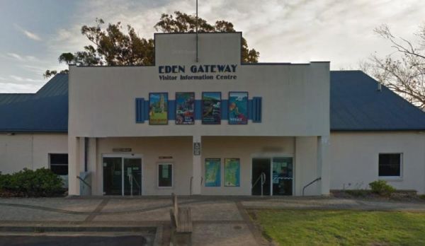
Eden Visitor Information Centre Open Hours:Weekdays 9am to 5pmWeekends 10am to 4pm Entrance to the Eden Visitor Information Centre Eden Visitor Information Centre location map
Entrance to the Edenhope Lakeside Tourist Park Edenhope Lakeside Tourist Park location map
Eight Mile Corner Rest Area 20 Hour Limit
The Eight Mile Corner Rest Area is a large wide and flat area that will take all sized caravans and motorhomes. There is a 20 hour stopover permitted at this rest stop.
Entrance to the Eight Mile Corner Rest Area
Eight Mile Corner Rest Area location m ...
Read More...
Entrance to the Eildon Pondage Holiday Park Eildon Pondage Holiday Park location map
The El Arish Rest Area is on the banks of the Digger Creek, you can try your luck at catching a fish in the small creek that runs along the rest area. Entrance to the El Arish Rest Area El Arish Rest Area location map
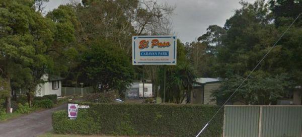
Entrance to the El-Paso Caravan Park El-Paso Caravan Park location map
Ellendale Rest Area 24 Hour Limit
The Ellendale Rest Area is gravel surface with no shade, set back approximately 300 metres from the main road. There are public toilets with a black water dump point, fireplaces, and undercover picnic tables with plenty of room to park your caravan or mot ...
Read More...
Entrance to the Elmore Highway Park Rest Area Elmore Highway Park Rest Area location map
Entrance to the Elphinstone North Rest Area Elphinstone North Rest Area location map
Entrance to the Erica Caravan Park Erica Caravan Park location map
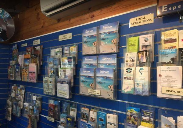
Entrance to the Esperance Visitor Information Centre Esperance Visitor Information Centre location map
Everard Park Streamside Reserve
The Everard Park Streamside Reserve is located on both sides of the Maroondah Highway, and a great place to drop your kayak in for a quick explore of the area.
Entrance to the Everard Park Streamside Reserve
Everard Park Streamside Reserve location ma ...
Read More...
Eyre's Water Hole Rest Area
The Eyre's Water Hole Rest Area is a large flat area with a nice amount of shade. Entrance to the Eyre's Water Hole Rest Area Eyre's Water Hole Rest Area location map
Fairhaven Family Holiday Park
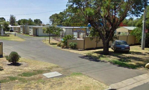
Entrance to the Fairhaven Family Holiday Park Fairhaven Family Holiday Park location map
The Falls Park to camp here you will need a Permit from local council, you can do this online quite quickly.
Free camping is available between Friday and Sunday 8.00am for self contained campers. The local Sunday market is well worth a visit if you camp ...
Read More...
The Fassifern Memorial Park Rest Area does not a lot to do here apart from take a break from driving, grab a bite to eat and get ready for more driving.
P.S. The Warrill Creek is on the opposite side of the road hidden behind long grass.
Entrance to the ...
Read More...
When stopping at the Father Woods Park you can checkout the Timber Carvings while you take a short break from your journey. Entrance to the Father Woods Park Father Woods Rest Area location map
Established on 7 acres of land originally purchased by Charles and Marjorie Wigg in 1953, Featherdale has evolved from a poultry farm into one of the best privately own wildlife parks in Australia. Education and Conservation form an integral component of ...
Read More...
FigTree Holiday Village
Entrance to the FigTree Holiday Village FigTree Holiday Village location map
Entrance to the Finlays Beach Camping Area Finlays Beach Camping Area location map
To get to the Finley Beach Camping Area, turn onto an unnamed Dirt Road at GPS -35.821054,145.554872, Nice spot on the Murray River Entrance to the Finley Beach Camping Area Finley Beach Camping Area lcation map
The Finns Beach Campground has a public toilet, and a few secluded campsites, with a nice sandy beach close at hand, where you can enjoy nice sunsets or have a go at catching dinner.
Entrance to the Finns Beach Campground
Finns Beach Campground locati ...
Read More...
The Fishermans Rest Riverside Reserve is just out of Mitchell town, there is a public drop pit toilet, picnic tables and rubbish bins. There are plenty of shady spots to camp under, and it's only a short walk to the Maranoa River, so fishing and kayaking ...
Read More...
Fitzgerald Bay Camping Areas
The Fitzgerald Bay Camping Areas has quite a few spots available in designated areas, look for the signs pointing you in the right direction to the campsites. Fitzgerald Bay Camping Areas location map
Five Mile Reserve Camping Area
If your up for a bit of a hike from the Five Mile Reserve Camping Area you can head off to the Murrumbidgee Northern Canal with fishing gear and camera. Entrance to the Five Mile Reserve Camping Area Five Mile Reserve Camping Area location map
FiveWays Caravan Park
Entrance to the FiveWays Caravan Park FiveWays Caravan Park location map
Entrance to the Flynn Rest Area Flynn Rest Area location map
The Forbes Apex Riverside Park is a huge level camping ground located adjacent the old bridge and is very inexpensive with toilets, potable water and under cover areas right on the river. You can enjoy fishing and kayaking, but be prepared for a few neigh ...
Read More...
The Forbes Taylor Underpass Rest Area is is next to Lake Forbes with a public toilet and plenty of places to park with water views, it is a Short term Rest Area, while your there pop over to the Lions Park next door and checkout some of the Old Machinery ...
Read More...
Ford Run Rest Area is a gravel area set amongst low shrubs with plenty of places to park your caravan on fairly level ground. There a few picnic tables, a fixed fireplace, no shade, and not much to to do here.
Entrance to the Ford Run Rest Area
Ford R ...
Read More...
The Forestry Information Stop is best to leave this spot to the offroaders as it's a bit of a squeeze for larger caravans. Entrance to the Forestry Information Stop Forestry Information Stop location map
Entrance to the Forster Visitor Information Centre Forster Visitor Information Centre location map
At Fossey River Rest Area, you can have a picnic and a short break from driving. Check out the Information board to show you what’s in the area. Entrance to the Fossey River Rest Area Fossey River Rest Area location map
Foster North Scenic Lookout
The Foster North Scenic Lookout, there are undercover picnic tables and a few rubbish bins to make your break from driving rather pleasant. Entrance to the Foster North Scenic Lookout Foster North Scenic Lookout location map
The Fountain Springs Rest Area has flushing public toilets, and a water tap (The water is not suitable for drinking).You will find this is a popular spot so if you get there late, you might have a problem finding a place to park your caravan.
Entrance to ...
Read More...
Four Mile Reserve Camping Area
The Four Mile Reserve Camping Area is a great spot on the Barwon River, with flushing toilets, cold water showers and bbqs. This is a large campground with plenty of flat spots to park your caravan. There is a Jetty and a Boat Ramp, for those who like fis ...
Read More...
Frampton Rotary Park Rest Area
Frampton Rotary Park Rest Area has room to park your caravan with some small trees offering some shade, and an undercover picnic table. The Mishurley Creek is next to this rest area, and it's seasonal, there's not much to do apart from relaxing a bit befo ...
Read More...
Frances Creek Rest Area
The Frances Creek Rest Area is surrounded by trees and sugar cane, has a public toilet and black water dump point, a bbq with picnic tables and rubbish bins near by. Entrance to the Frances Creek Rest Area Frances Creek Rest Area location map
Entranced to the Frank Jackman Memorial Lookout Frank Jackman Memorial Lookout location map
Entrance to the Frank Lupino Memorial Park Frank Lupino Memorial Park location Map
Frank Potts Reserve
The Frank Potts Reserve has quite a few places amongst the trees to pull into and have a picnic and a few hundred metres from a wine tasting centre. Entrance to the Frank Potts Reserve Frank Potts Reserve location map
The Franklin River Reserve is close to the Franklin River, with wood BBQ's and picnic tables scattered around. Entrance to the Franklin River Reserve Campground Franklin River Reserve Campground location map
Franklinford Streamside Reserve
The Franklinford Streamside Reserve, is best suited to vehicle based camping or small camper trailers etc. This is a small Nature preserve that has mobile phone coverage and a fireplace on the banks of the Jim Crow Creek.
Map of the Franklinford Streamsi ...
Read More...
The Frankston Visitor centre is next to an Award winning beach, located on Port Phillip Bay, and the Frankston pier is within easy walking distance for those who like fishing.Be sure to check out the locally made gifts and Souvenirs while your in the Fran ...
Read More...
Freds Landing Rest Area
From the Freds Landing Rest Area you can launch your Kayak and go for a paddle up or down the Murray River, or try your hand at catching dinner. Entrance to the Freds Landing Rest Area Freds Landing Rest Area location map
French VC Rest Area although there is loads of parking space, there's very little shade for you to park your caravan under. There are 2 long drop toilets with hand-wash basin, undercover picnic tables, tank water and fireplaces with bbq facilities.
Entra ...
Read More...
The Fullers Lane Rest Area is set back from the road it's a rather large area to pull over, with plenty of space to park your RV or Caravan. Entrance to the Fullers Lane Rest Area Fullers Lane Rest Area location map
The Galena Bridge Rest Area is a beautiful bush camping spot for overnight stop with plenty of room on both sides of the river to find a quiet spot. There are quite a few long drop public toilets with black water dump point, picnic tables and rubbish bins ...
Read More...
The Gamboola Rest Area is set back a fair way from the main road, and the area opens up with plenty of space to park your RV. There is plenty of shade, picnic tables and some rubbish bins.
Entrance to the Gamboola Rest Area
Gamboola Rest Area location ...
Read More...
The Garoolgan Rest Area has plenty of room to park all sized rigs and a few rubbish bins, and the area is wedged between the railway line and the Burley Griffin Way, so perhaps not the quietest place to be.
Entrance to the Garoolgan Rest Area
Garoolga ...
Read More...
The Gascoyne River Middle Branch Rest Area is a good place to stay overnight with room to park all sized rigs. There are long drop public toilets with a black water dump point, undercover picnic tables, and rubbish bins. There is a mining sleuth that was ...
Read More...
It's worth contacting Gawler Ranges Visitor Information Centre, to see what the area has to offer in the way of accommodation, and sightseeing in this district.
Entrance to the Gawler Ranges Visitor Information Centre
Gawler Ranges Visitor Information ...
Read More...
Geehi Flats Camping Area is a beautiful riverside campsite with public toilets, fire places, shelter and loads of space, and the campground is accessible with a 2WD vehicle if you drive through the Geehi rest area. This is a great spot to camp plenty of r ...
Read More...
Entrance to the Geelong Visitor Information Centre Geelong Visitor Information Centre location map
The Geo Spencer Memorial Rest Area has a 48 Hour Limit for stopovers. There are a few level places to park your caravan under shady trees. Here you will find flushing toilets, an undercover BBQ and some picnic tables and rubbish bins.
Entrance to the Geo ...
Read More...
Entrance to the Geraldton Visitor Information Centre Geraldton Visitor Information Centre location map
The Geranium Rest Area is level and only a few metres from the Mallee Highway, if you need toilets, you can take a stroll into town, approx 1 kilometre away. Entrance to the Geranium Rest Area Geranium Rest Area location map
The Geurie North Rest Area is a small level area with some shade to park, with an undercover picnic table and rubbish bins just off the Mitchell Highway, soyou will hear passing traffic.
Entrance to the Geurie North Rest Area
Geurie North Rest Area lo ...
Read More...
The Gil Gil Creek North Rest Area has a bit of shade to the side, a few rubbish bins and an undercover picnic table. Entrance to the Gil Gil Creek North Rest Area Gil Gil Creek North Rest Area location map
Entrance to the Gilgandra Visitor Information Centre Gilgandra Visitor Information Centre location map
From the Gilhams Beach Camping Area, you can walk over to the sandy beach and watch the sunset, or take a beach rod and try your luck at fishing. Entrance to the Gilhams Beach Camping Area Gilhams Beach Camping Area location map
The Gillenbah South Rest Area is set back and running parallel with the Newell Highway. There are plenty of places to park your caravan under shady trees, public toilets with wheelchair access, picnic tables and some rubbish bins.
Entrance to the Gillenb ...
Read More...
If stopping overnight at the Gin Gin Rest Area, you'll find plenty of room for your caravan, public toilets with hand wash basin and picnic tables and chairs, plus a water tap. Entrance to the Gin Gin Rest Area Gin Gin Rest Area location map
The Girgarre Dump Point is Behind the Memorial Hall, with easy access. Enquire at Post Office for access.
The Gisborne Northbound Rest Area is a popular Truck stop with plenty of parking for large Caravans and RV's. Entrance to the Gisborne Northbound Rest Area Gisborne Northbound Rest Area location map
Entrance to the Gisborne Southbound Rest Area Gisborne Southbound Rest Area location map
Glebe Weir
At the Glebe Weir they hold a Fishing comp on the June long weekend. this is a low cost camp site. There is asphalt all the way to the weir, and plenty of space once you get there.
BRING Your own water and wood for your fireplace plus a long power leads. ...
Read More...
Entrance to the Glenelg River Rest Area Glenelg River Rest Area location map
Glenriddle Rec Reserve Camp Area is a great free camping ground beside Manilla River on the upper limits of Split Rock dam. This is a huge area suitable for all types of camping - caravans, campervans, mobile homes, tents, and there is a boat ramp. There ...
Read More...
Entrance to the Glenugie Creek Rest Area Glenugie Creek Rest Area location map
Gloucester Visitor Information Centre
Gloucester Visitor Information Centre Open Hours:Weekends 9.00am to 3.00pmWeekdays 9.00am to 4.30pm Entrance to the Gloucester Visitor Information Centre Gloucester Visitor Information Centre location map
Entrance to the Gold Nugget Tourist Park Gold Nugget Tourist Park location map
Golden Terrace Caravan Park
Entrance to the Golden Terrace Caravan Park Golden Terrace Caravan Park location map
The Goldwire Rest Area has some long drop public toilets with a black water dump point, picnic tables, some wood fired bbqs and plenty of level ground to park your caravan. This rtes area is set well back from the Great Northern Highway, so passing noise ...
Read More...
GoLightly Park Caravan & Camping
Entrance to the GoLightly Park Caravan & Camping GoLightly Park Caravan & Camping location map
Entrance to the Goolgowi West Rest Area Goolgowi West Rest Area location map
Gooloogong Park Rest Area
At the Gooloogong Park Rest Area you can settle in, take a walk up to the pub, and check out the local shops, remember to spend some money, towns like this need a helping hand from tourism.
Entrance to the Gooloogong Park Rest Area location map
Gooloo ...
Read More...
Goolwa Visitor Information Centre
Open Hours:9am - 5pm, Monday - Friday10am - 4pm Saturday, Sunday & Public HolidaysClosed Christmas Day & Good Friday
Entrance to the Goolwa Visitor Information Centre
Goolwa Visitor Information Centre locatio ...
Read More...
This site has flushing toilets, there is a water tank but make sure you boil the water first. A nice grassy area for you to set up camp and the beach nearby for sightseeing and fishing.
Entrance to the Gordon Foreshore Reserve Camping Area
Gordon Fore ...
Read More...
Gordon VC Rest Area
The Gordon VC Rest Area is a Largish asphalted area with plenty of room to park all sized caravans and motorhomes. There is a public toilet, picnic tables and rubbish bins located here.
Entrance to the Gordon VC Rest Area
Gordon VC Rest Area location ...
Read More...
Gordonvale Rest Area
From the Gordonvale Rest Area you can take a walk along the banks of the small creek that runs into the Mulgrave River or be more adventurous and drop the kayak in. Entrance to the Gordonvale Rest Area Gordonvale Rest Area location map
The Goulburn Visitor Information Centre has a Playground in the Park OppositeOpen Hours:Monday to Friday 9am-5pmweekends & public holidays 10am-4pm
Entrance to the Goulburn Visitor Information Centre
Goulburn Visitor Information Centre location ma ...
Read More...
The Gowan North Rest Area is on the verge of the Newell Highway with a public toilet, undercover picnic tables with some rubbish bins, and has quite a few spots to pull over along this stretch of road, fishing and dropping the kayak in to the river come t ...
Read More...
Entrance to the Granite Creek Rest Area Granite Creek Rest Area location map
The Granthams Bend Camping Area is close to town, you only need to simply cross the bridge over the Murray River into N.S.W. This campsite is a rough Bush camp, where you need to bring everything you need, and take your rubbish with you when you leave.
E ...
Read More...
Grantville - Picnic BBQ Area
Entrance to the Grantville - Picnic BBQ Area Grantville - Picnic BBQ Area location map
Grass Trees Rest Area Northbound Entrance to the Grass Trees Rest Area Northbound Grass Trees Rest Area Northbound location map
The Gratwick VC Rest Area is on an asphalt surface running adjacent the Federation Highway. There are a few trees for shade, undercover picnic tables and Entrance to the Gratwick VC Rest Area Gratwick VC Rest Area location map
Gre Gre South Rest Area
The Gre Gre South Rest Area has the Avon Creek runs behind this location but hardly any water in it. But worth a look with your camera in hand. Entrance to the Gre Gre South Rest Area Gre Gre South Rest Area location map
Great Western Rest Area
Entrance to the Great Western Rest Area Great Western Rest Area location map
Green Bank Camping Area
To get to the Green Bank Camping Area, follow Cullens Road to the Loop Track to the Murray River, and pick a campsite. Entrance to the Green Bank Camping Area Green Bank Camping Area Location Map
At the Green Hill Lake Camping Area, you can stay for 4-5 days and a permit is need for longer stays. free hot showers and a good toilet facility, bbq, fire pits, a children's playground and lots of rubbish bins. You can swim,kayak and explore the islands ...
Read More...
When your at the Greenrise Lake Rest Area don't waste your time if you want to go fishing in the lake, as its been dry for a few years. Entrance to the Greenrise Lake Rest Area Greenrise Lake Rest Area location map
The Greens Lake Recreation Area is a lovely place with showers, toilets, bbqs and a Boat Launching Ramp, BUT that means very little if there is a drought, as the lake is very shallow and dries up rapidly. Greens Lake Recreation Area location map
Entrance to the Grenfell West Rest Area Grenfell West Rest Area location map
Entrance to the Griffith Visitor Information Centre Griffith Visitor Information Centre location map
Grong Grong Park Rest Area
At the Grong Grong Park Rest Area there is plenty of parking over near the Grain Silos, there is a public toilet undercover picnic table and bbq, rubbish bins and a small playground for the children.and a phone box and a shop nearby.
Entrance to the Gron ...
Read More...
Gulpa Island Precinct Camping Area has plenty of places to pull over and enjoy the scenery.
You might want to check this location first before committing to taking a large caravan in, as the road can be a bit difficult in places.
Gulpa Island Precinct C ...
Read More...
Gum Bend Lake Camping Area 14 Day Limit
The Gum Bend Lake Camping Area has hot showers, rubbish bins, undercover picnic tables and bbqs with plenty of camping places to pick from, fishing, photographic opportunities everywhere and it's about 5km from the town of Condobolin in Central NSW. The G ...
Read More...
Gumbuya Rest Area
The Gumbuya Rest Area is next to Gumbuya Park while your in the area you could drop in. Entrance to the Gumbuya Rest Area Gumbuya Rest Area location map
Entrance to the Gunalda Rest Area Gunalda Rest Area location map
The Gunbower Park Rest Area is on the banks of the Gunbower Creek.So why not take a stroll and check it out, or drop your kayak in for a better look.There is a children's playground right next to the toilets to keep the kids amused.
Entrance to the Gunbo ...
Read More...
At the Gunbower State Forest Camping Area has lots of camping spots and very clean and tidy, with long drop toilets, you can take caravans in, the tracks are a bit rough in spots, but passable, and you will be rewarded with a good campsite next to the Mur ...
Read More...
Entrance to the Gunnedah North Rest Area Gunnedah North Rest Area location map
The Gunnedah North Rest Area 2 is just off the Kamilaroi Highway, a rubbish bin and an old wood fired BBQ are located here. There is plenty of room to park your caravan under some gum trees.
Entrance to the Gunnedah North Rest Area 2
Gunnedah North Re ...
Read More...
Entrance to the Gunnedah South Rest Area Gunnedah South Rest Area location map
Gurney VC Rest Area
Gurney VC Rest Area has good views across the dry Lake George. There are some trees for shade and a loop road that you can pull off with your caravan. Public toilets, picnic tables, wood fired bbq facilities and some rubbish bins.
Entrance to the Gurney ...
Read More...
Guthalungra Rest Area
At the Guthalungra Rest Area has room for the kids to kick a football. plus undercover picnic tables and rubbish bins, and room to park your caravan on the road. There is not a lot to do here, you can use the public telephone box or pop over to the petrol ...
Read More...
Guttram State Forest Camping Area
The Guttram State Forest Camping Area is on the banks of the Murray River with all water activities at your doorstep. It's a bit on the bumpy side to get their so take care. Guttram State Forest Camping Area location map
The Hadspen Lions Park Reserve Area is a nice open area with boat ramp, and is a lovely spot for a bbq and picnic. This is a great park on the banks of the South Esk River, with playground and off lead dog area.
Entrance to the Hadspen Lions Park Reserve ...
Read More...
Hall Point Camping Area 48 Hour Limit
At the Hall Point Camping Area you can relax and take a sunset walk along the beach with your camera. I'm sure you'll find some interesting things to photograph.
The Hall Point Camping Area is restricted to 48 Hours stopovers for Self contained Motorhome ...
Read More...
Entrance to the Halls Gap Gardens Caravan Park Halls Gap Gardens Caravan Park location map
Entrance to the the Halls Gap Lakeside Caravan Park.
The Halls Gap Visitor Information Centre is open form 9.00am to 5.00pm daily. There is free WiFi and plenty of parking out the back and lots of pamphlets about the local area.
Entrance to the Halls Gap Visitor Information Centre
Halls Gap Visitor Info ...
Read More...
The Halls Gap Zoo Halls Gap Zoo is a 25 acre zoo located about 7 km from Halls Gap, Victoria, it is also Victoria's largest regional zoo. Here you will find over 160 different native and exotic species of animals and birds, and rescued wildlife.
{tab tit ...
Read More...
Hamilton & Grampians Visitor Information Centre has plenty of information available, clean, well laid out and friendly staff.
Open 7 days 9.00am-5.00pm Except Christmas Day
Entrance to the Hamilton & Grampians Visitor Information Centre
Hamil ...
Read More...
The Hamilton Rest Area is opposite the Bicentennial Park, is a beautiful place with apple and pear trees, public toilet and showers, laundry, dump point and potable water. where you'll find a public toilet, undercover picnic tables and rubbish bins. Or yo ...
Read More...
The Hanson Rest Area is set on flat ground, and it's a short distance from the Barrier Highway, with plenty of parking spots to choose from. Entrance to the Hanson Rest Area Hanson Rest Area location map
Happy Jacks Recreation Reserve
The Happy Jacks Recreation Reserve has the Bullock Creek runs just behind the reserve for those who are a bit curious as to if there are any fish in it. Entrance to the Happy Jacks Recreation Reserve Happy Jacks Recreation Reserve location map
Entrance to Happy Wanderer Holiday Resort. Happy Wanderer Holiday Resort location map.
Entrance to the Harvey District Visitor Information Centre Harvey District Visitor Information Centre location map
Hawkesbury Visitor Information Centre Open Hours:Weekdays: 9.00am to 5.00pmWeekends: 9.00am to 4.00pm Entrance to the Hawkesbury Visitor Information Centre Hawkesbury Visitor Information Centre location map
Hay Visitor Information Centre
Open Hours:Weekdays 9.00am to 5.00pmSaturday 9.00am to 2.00pmSunday 9.00am to 12.00pm
Toilets open from 7am to 6pm
Showers available for a gold coin donation, open 7am to 6pm
Entrance to the Hay Visitor Information C ...
Read More...
The Haythorpe Reserve Camping Area has plenty of places to choose from, and you are right on the banks of the Murray River. Entrance to the Haythorpe Reserve Camping Area Haythorpe Reserve Camping Area location map
Healesville Sanctuary
The Healesville Sanctuary is a Wonderful Sanctuary set in a bush environment. There are plenty of native animals to view in a well laid out zoo suitable for all ages. Entrance to the Healesville Sanctuary Healesville Sanctuary location map
Heathcote Visitor Information Centre Open Hours:9.00am to 5.00pm everyday Entrance to the Heathcote Visitor Information Centre Heathcote Visitor Information Centre location map
The Hellyer Gorge Rest Area is a lovely spot to stop if you're heading through to Cradle Mountain or Waratah, with beautiful walks through the myrtle rainforest down to the Hellyer River.
Entrance to the Hellyer Gorge Rest Area
Hellyer Gorge Rest Area ...
Read More...
The Henry Angel Flat Camping Area is a nice spot to enjoy a week or two, fishing swimming photography and short walks all on your doorstep. Entrance to the Henry Angel Flat Camping Area Henry Angel Flat Camping Area location map
Entrance to the Henty Bay Beach Front Van & Cabin Park Henty Bay Beach Front Van & Cabin Park location map
At the Henty Man Rest Area, cars have there own parking area set away from trucks and Caravans.
So expect a few heavy vehicles to pull in and take advantage of this rest site, and please make sure you don't block any trucks from parking.
Entrance to the ...
Read More...
At the Herbert Reserve Rest Area you can take a short stroll into town and hang a right at Paynes Crossing Rd to go to the Broke Village Store and grab a bite to eat. (GPS -32.75062,151.10358)
Entrance to the Herbert Reserve Rest Area
Herbert Reserve ...
Read More...
Heritage Park
Heritage Park location map
Entrance to the the High Country Holiday Par.
Overnight stays are for fully self contained RV's only at the Highbury Recreational Vehicle Free Stay Area. Note: Annexes that do not require fixing to the ground, and that form part of the RV, are permitted. No Pegs of any type are permitted to be driven ...
Read More...
The Hillston Rest Area is set on an asphalt strip running alongside the Kidman Way, it's a well known truck stop. There is a public toilet ,picnic tables and some rubbish bins. Entrance to the Hillston Rest Area Hillston Rest Area location map
The Hobart Beach campground has drop toilets, hot showers, wood fired bbq on each campsite. Close to lake and beach, with lots of wildlife, including goannas, wallabies, echidnas and possums.
For the fishermen, you can catch prawns at night
Note: The pa ...
Read More...
The Hogwash Bend Conservation Park is a great place to drop the kayak into the Murray River and paddle upstream a bit, or sit on the large sandy beach and try your luck at catching dinner.
Entrance to the Hogwash Bend Conservation Park
Hogwash Bend Co ...
Read More...
The Holder Bend Reserve and Boat Ramp has a nice concrete boat ramp to pop your kayak into the Murray River and remember to take your camera with you. Entrance to the Holder Bend Reserve and Boat Ramp Holder Bend Reserve and Boat Ramp location map
Honey Hush Caravan Park
Entrance to the Honey Hush Caravan Park Honey Hush Caravan Park location map
Hopetoun Rest Area
The Hopetoun Free Dump Point has now been installed into the rest area, you can take some time off driving, and stroll around the lake if your up to it. Entrance to the Hopetoun - Free Dump Point Hopetoun - Free Dump Point location map
The Horseshoe Bend Camping Area has one long drop toilet, and lots of level ground to park your caravan next to the Murray River. This campsite is good for boating, skiing, and fishing or just plain relaxing. Plenty of spots along the Murray and not too f ...
Read More...
The Horsham - Free Dump Point is located in Firebrace Street just outside the Horsham Caravan Park and not far from the Wimmera River. Entrance to the Horsham - Free Dump Point Horsham - Free Dump Point location map
Entrance to the Horsham Riverside Caravan Park Horsham Riverside Caravan Park location map
The Horsham Visitor Information Centre is well worth a visit if you intend to spend a couple of days in the region, and especially if it's your first visit to Horsham.
Entrance to the Horsham Visitor Information Centre
Horsham Visitor Information Cent ...
Read More...
Howitt Park
Entrance to the Howitt Park Howitt Park location map
The Howlong Lions Park Rest Area is not a bad spot on the Murray River. There are public toilets, picnic tables, bbqs, and rubbish bins with a lot of level ground to park your caravan, and gum trees for shade.
NOTE: No Camping Allowed
Pop over to the Tr ...
Read More...
Pull off the main road on the outskirts of town at the Hughenden Rotary Rest Area, walk or ride your bike to Brodie Street, the main shopping centre for Hughenden, pop over and take a meal next to the dinosaur.
Entrance to the Hughenden Rotary Rest Area ...
Read More...
The Hughie Edwards VC Rest Area has a public drop toilet, some picnic tables with some rubbish bins and is quite noisy due to the main road running past. However it's a handy place to stop and have a rest from driving to Canberra.
Entrance to the Hughie ...
Read More...
Humbug Point Nature Recreation Area
The Humbug Point Nature Recreation Area is close to a beach with fine white sand and a turquoise ocean with brightly coloured red lichen covered rocks. There are a few spots to pull over every now and then along the main road. This spot is not suitable fo ...
Read More...
The Humes Crossing Camping Area is a beautiful spot! There are long drop toilets, wood fireplaces with bbq facilities, and picnic tables, but it's best to bring levelling blocks for your caravan if you intend to camp here. This campground is just a short ...
Read More...
Entrance to the Huntly Lions Park Rest Area Huntly Lions Park Rest Area location map
Entrance to the Huskisson White Sands Holiday Park Huskisson White Sands Holiday Park location map
The Hyden Visitor Information Centre Entrance to the Hyden Visitor Information Centre Hyden Visitor Information Centre location map
Idleours Caravan Park
Entrance to the Idleours Caravan Park Idleours Caravan Park location map
The Ilford Rest Area is just off the main highway, not a lot to do here, apart from rest and refresh, before heading on your way. There are public toilets, picnic tables, rubbish bins and tank water with room to park your caravan under a few shade trees. ...
Read More...
The Illabo Rest Area is located opposite the Illabo Pub, the rest area has a public toilet undercover picnic tables, rubbish bins and plenty of room to park your caravan. Entrance to the Illabo Rest Area Illabo Rest Area location map
At the Illilawa River Reserve Rest Area you can drop your Kayak in the Murrumbidgee River and go for a short paddle or drop a line in and try and catch dinner. This is quite a large off road site with plenty of opportunities to park.
Entrance to the Illi ...
Read More...
The Inca Creek Rest Area has plenty of room to park your caravan. There are a few picnic tables and wood fired bbq facilities with a few shade trees here, and plenty of room to walk the dog.
Entrance to the Inca Creek Rest Area
Inca Creek Rest Area lo ...
Read More...
Indented Head Bellarine Bayside Holiday Parks
Entrance to the Indented Head Bellarine Bayside Holiday Parks Indented Head Bellarine Bayside Holiday Parks location map
Indigo Creek Rest Area
Entrance to the Indigo Creek Rest Area Indigo Creek Rest Area location map
Entrance to the Inglewood East Rest Area Inglewood East Rest Area location map
Entrance to the Inverloch Foreshore Camping Inverloch Foreshore Camping location map
Entrance to the Inverloch Holiday Park BIG4 Inverloch Holiday Park BIG4 location map
The Inverloch Visitor Information Centre is located in the center of Inverloch and has plenty of information about the local places of interest, including wineries etc.
Open Hours:9.00am to 5.00pm everyday
Entrance to the Inverloch Visitor Information C ...
Read More...
Entrance to the J.Sloane Park Rest Area J.Sloane Park Rest Area location map
Jacka Park Rest Area
Entrance to the Jacka Park Rest Area
Jacka Park Rest Area location map
Wedderburn is a rural town located in Victoria, Australia on the Calder Highway, 214 kilometres north of Victoria's capital city, Melbourne. At the 2006 census, Wedderburn ...
Read More...
The James Ainsworth Horrock Monument Rest Area has a small strip of tree lined land running alongside the main road with a fair amount of room for your van.
Entrance to the James Ainsworth Horrock Monument Rest Area
James Ainsworth Horrock Monument Re ...
Read More...
The James King Park is just a short walk to the Murray River, there is a boat ramp plus parking this spot gets rather busy on weekends. Entrance to the James King Park James King Park location map
James Norman Hedges Park Rest Area
Entrance to the James Norman Hedges Park Rest Area James Norman Hedges Park Rest Area location map
At the Jeir Creek Rest Area there is not much to do apart from stop use the rubbish bin or have a picnic on the undercover table and seats. Entrance to the Jeir Creek Rest Area Jeir Creek Rest Area location map
Camping at the Jericho Showgrounds has nice level spots with power and water and showers with fees payable via Honesty Box. Sites with Power and Water are limited, so be early if you need them. Hot Showers are also available.
Entrance to the Jericho Show ...
Read More...
Jerilderie South Rest Area
At the Jerilderie South Rest Area there is not a lot here to see or photograph, but at least there is a shady spot with a picnic table and rubbish bin to enjoy a break from driving.
Entrance to the Jerilderie South Rest Area
Jerilderie South Rest Area ...
Read More...
Entrance to the Jervis Bay Caravan Park Jervis Bay Caravan Park location map
Jessie Kennedy Reserve Rest Area
The Jessie Kennedy Reserve Rest Area is not the most quietest of places to rest at with the Midland Hwy running past. Entrance to the Jessie Kennedy Reserve Rest Area Jessie Kennedy Reserve Rest Area location map
Jibberding Rock Rest Area
The Jibberding Rock Rest Area is a rough bush camp set back from Great Northern Highway, you will need to bring everything you need, and take your rubbish with you when you leave. This rest area is located on a level gravel surface, inside the Jibberding ...
Read More...
John S Christian Reserve
The John S Christian Reserve is a reasonably level area and a public toilet with a few spots to park your caravan at. You. have mobile phone signal here and your dog can get a break from the backseat of your car.
Entrance to the John S Christian Reserve ...
Read More...
Kangaroo Flat Park Area
Entrance to the Kangaroo Flat Park Area Kangaroo Flat Park Area location map
Kangaroo Valley Tourist Park
Entrance to the Kangaroo Valley Tourist Park Kangaroo Valley Tourist Park location map
Entrance to the Kangerong Holiday Park Kangerong Holiday Park location map
Entrance to the Kaniva Poolside Caravan Park Kaniva Poolside Caravan Park location map
The Karoonda East Rest Area is stuck in between a railway line, and Loxton Road, on fairly level ground. Entrance to the Karoonda East Rest Area Karoonda East Rest Area location map
Katamatite Lions Memorial Park Rest Area
The Katamatite Lions Memorial Park Rest Area has a bakery is just down the road within easy walking distance. Entrance to the Katamatite Lions Memorial Park Rest Area Katamatite Lions Memorial Park Rest Area location map
The Keith Park Rest Area is a rather large park that spans both sides of the road, with plenty of picnic tables to chooses from. Entrance to the Keith Park Rest Area Keith Park Rest Area location map
Entrance to the Kelso Sands Holiday Park Big4 Kelso Sands Holiday Park Big4 location map
From the Kempton Rest Area you can take a short walk or get your bikes off the back of the van, and have a short sightseeing trip around town, then settle in for the night.
There is a Tavern with meals and takeaways within walking distance and that the K ...
Read More...
The Kentucky Truck Parking Rest Area is a simple Truck Stop with a rubbish bin or two and not much else. Entrance to the Kentucky Truck Parking Rest Area Kentucky Truck Parking Rest Area location map
Entrance to the Kerang Caravan & Tourist Park Kerang Caravan & Tourist Park location map
The Ki Ki South Rest Area is slightly elevated and running alongside the Dukes Highway with a bit of scrub to help shield noise. Entrance to the Ki Ki South Rest Area Ki Ki South Rest Area location map
If you intend to stop at the Kiama North Rest Area, it's worth taking a photo of the recently restored 1890's Police Station and Courthouse, set isolated against the mountains.
Entrance to the Kiama North Rest Area
Kiama North Rest Area location map ...
Read More...
The Kibby VC Rest Area, has plenty of room to park, long drop toilets with hand basin, undercover picnic tables, rubbish bins and tank water.
You will also see a couple of old deserted buildings in the area, that might warrant taking a photo of.
Entranc ...
Read More...
The Kiga Bore Rest Area is a large roadway section on either side of the Hwy to pull over and take a break from driving, not much to look at as the area is quite flat. Entrance to the Kiga Bore Rest Area Kiga Bore Rest Area location map
Entrance to the Kiga Bore Rest Area Southbound Kiga Bore Rest Area Southbound location map
Entrance to the the Kilcunda Oceanview Holiday Retreat.
The Kimba Rest Area is a handy spot to stop at, there is an IGA supermarket across the road so pick up some supplies while visiting here, AND the Big Galah nearby GPS -33.141783,136.421747 Entrance to the Kimba Rest Area Kimba Rest Area location map
King Street Oval Rest Area 24 Hour Limit
Entrance to the King Street Oval Rest Area King Street Oval Rest Area location map
Kings Billabong Lookout has a loop track for you to stretch your legs, it's roughly a 200 meter walk to the lake. There are some undercover picnic tables here. Entrance to the Kings Billabong Lookout Kings Billabong Lookout location map
The Kingsley Fairbridge Memorial Park Rest Area is close to the Molong Creek, which runs just behind this spot, but I wouldn't get too excited if you want to go fishing.
Entrance to the Kingsley Fairbridge Memorial Park Rest Area
Kingsley Fairbridge M ...
Read More...
Entrance to the Kingston South Rest Area Kingston South Rest Area location map
Knuckey Lagoon - Crocodylus Park
Entrance to the Knuckey Lagoon - Crocodylus Park Knuckey Lagoon - Crocodylus Park location map
Entrance to the Koondrook Caravan Park Koondrook Caravan Park location map
Koonwarra Family Holiday Park
Entrance to the Koonwarra Family Holiday Park Koonwarra Family Holiday Park location map
The Koorarawalyee Rest Area is level and on a natural dirt surface with lots of places to park your caravan for the night under shady trees. There is a public toilet, fireplaces with bbq facilities, picnic tables and lots of room for your dog to have a ru ...
Read More...
The Kooreh Hall Rest Area, the hall itself was built in 1923 as a tribute to the lost soldiers of the Boer and First World Wars. Entrance to the Kooreh Hall Rest Area Kooreh Hall Rest Area location map
Korumburra - Free Dump Point
The Korumburra - Free Dump Point is located in the Showgrounds adjacent to toilet block, near rear entrance gate to showground. Cost $10 refundable key deposit. Key available from Caravan Park in Bourke St (approx 1km east, over railway line)
Entrance to ...
Read More...
Korumburra Tourist Park
Entrance to the Korumburra Tourist Park Korumburra Tourist Park location map
Kroehns Landing
Kroehns Landing is on the banks of the Murray River and a bit on the bumpy side of things, when trying to find level ground. Entrance to the Kroehns Landing Kroehns Landing location map
Kumarl Siding Rest Area 24 Hour Limit
The Kumarl Siding Rest Area is a large area with some small trees offering some shade to park your caravan. There are picnic tables, fireplaces with bbq facilities, and rubbish bins so it's not a bad place for an overnighter, but you will be quite close a ...
Read More...
Entrance to the Kununurra Visitor Information Centre Kununurra Visitor Information Centre location map
The Kyabram - Free Dump Point is next to the Fauna Park. The Key is available from Fauna Park office, which is located on the Corner of Lake Road and Fauna Park Road. Entrance to the Kyabram - Free Dump Point Kyabram - Free Dump Point location map
Entrance to the Kyabram Caravan & Tourist Park Kyabram Caravan & Tourist Park location map
Kyffins Reserve Camping Area is a great place to unwind, and use your kayak for a paddle around, or fishing for Yellow Belly and Murray Cod. From your campsite you will get to see lots of birdlife and great views of Lake Mulwala. You're going to be spoilt ...
Read More...
If stopping at the Kyneton Mineral Springs Rest Area, why not grab some fresh Mineral Water direct from the old hand pump and with the Campaspe River is next to the car-park, it's a nice place for a rest.
Entrance to the Kyneton Mineral Springs Rest Area ...
Read More...
Laanecoorie Lakeside Park
Entrance to the Laanecoorie Lakeside Park Laanecoorie Lakeside Park location map
Lagoons Beach Camping Area
The Lagoons Beach Camping Area is a safe place for a paddle for the kids, fishing over on the main beach. There are multiple campsites ranging from quite open to secluded in this popular location. There are long drop toilets, beautiful shells to be found ...
Read More...
Entrance to the Lake Anderson Caravan Park Lake Anderson Caravan Park location map
At Lake Barrington Camping Area you can pick your spot from a large grassed area surrounded by large trees. Walk down to the boat ramp and enjoy the scenic view over the lake, or drop a line in and see if there biting today.
Entrance to the Lake Barringt ...
Read More...
The Lake Benanee Rest Area has great views of lake and birdlife and sunsets are nice. This is a gravel area with a public toilet with wheelchair access, a few picnic tables, rubbish bins and plenty of spots to park your caravan.
Entrance to the Lake Bena ...
Read More...
Lake Boga Caravan Park Entrance to the Lake Boga Caravan Park Lake Boga Caravan Park location map
The Lake Boga Rest Area lake is sometimes subject to drought condition, so NO Permanent WATER. Entrance to the Lake Boga Rest Area Lake Boga Rest Area location map
Lake Bolac Caravan & Tourist Park
Entrance to the Lake Bolac Caravan Park Lake Bolac Caravan Park location map
Lake Bolac East Beach Camping Area
Lake Bolac East Beach Camping Area location map
Lake Bolac Rest Area
The Lake Bolac Rest Area is a short distance to Lake Bolac and water levels in the lake fluctuate, depending on seasonal conditions. Entrance to the Lake Bolac Rest Area Lake Bolac Rest Area location map
Entrance to the Lake Bonney Rest Area Lake Bonney Rest Area location map
Lake Borumba Camping Grounds
Lake Borumba campgrounds are tidy and clean amenities, hot showers, kitchen and toilet.Activities include beach volleyball playground, table tennis located next to the Yabba Creek is a nice quiet place to visit for a few days, Plenty of Shade, and Grassy ...
Read More...
Entrance to the Lake Buninjon Rest Area Lake Buninjon Rest Area location map
Lake Burrumbeet Caravan Park
Entrance to the Lake Burrumbeet Caravan Park Lake Burrumbeet Caravan Park location map
The Lake Centenary Rest Area has a few trees for shade and room to park your caravan, there is undercover picnic tables and a dedicated Jet Boat Circuit just behind here, so it should prove to be a great photo opportunity if a few boats are running.
Entr ...
Read More...
Lake Charm Rest Area
At the Lake Charm Rest Area, you can take a break and have a bbq. This rest area is next to Racecourse Lake.Note: the lakes water levels vary according to the seasonal conditions.
Entrance to the Lake Charm Rest Area
Lake Charm Rest Area location map ...
Read More...
Entrance to the Lake Colac Caravan Park Lake Colac Caravan Park location map
The Lake Cowan Rest Area is very close to the Coolgardie-Esperance Highway with level gravel surfaces with a few small trees for shade to park your caravan under. There are rubbish bins, fireplace with bbq facilities and for the more adventurous, you can ...
Read More...
The Lake Douglas Recreation Reserve road in, past the quarry is very corrugated that leads to a large camping area. The camping area is suitable for caravans that have levelling blocks with them. There is one long-drop toilet, picnic tables and fire pits ...
Read More...
Lake Elingamite Camping Area
The Lake Elingamite Camping Area is a fantastic campground on the lake of Elingamite. There is plenty of slightly sloped land and some levelled spots suitable for RV’s and caravans under shady and mature cypress pines plus some native trees.
The public ...
Read More...
Lake Fyans Holiday Park
Entrance to the Lake Fyans Holiday Park Lake Fyans Holiday Park location map
Lake Gairdner Camping Area is a nice spot with amazing view towards the lake and this campsite is great for relaxing, fishing, playing with the kayak etc. But be sure to bring everything you need with you.
Note: The camp area can flood with greater than ...
Read More...
Entrance to the Lake Hamilton Motor Village and Caravan Park Lake Hamilton Motor Village and Caravan Park location map
Entrance to the Lake Hume - Discovery Parks Lake Hume - Discovery Parks location map
Lake Lascelles Rest Area is a great place to free camp around the lake with shady spots right next to the water and brilliant sunsets across the lake. There are toilet and shower facilities, both powered and unpowered sites, a washing machine is available ...
Read More...
NOTE: NO Camping in Tents PermittedEntrance to the Lake Learmonth Caravan Park Lake Learmonth Caravan Park location map
Lake Lonsdale Camping Area
The Lake Lonsdale Camping Area is an awesome free campground, there is 4 different campgrounds. This particular campground has a boat ramp and toilet facilities, and plenty of room to camp. Please Note: There are also NO CAMPING areas throughout the Natur ...
Read More...
Lake Macquarie Visitor Information Centre Open Hours:Weekends 9.00am to 4.00pmWeekdays 9.00am to 5.00pm Entrance to the Lake Macquarie Visitor Information Centre Lake Macquarie Visitor Information Centre location map
Lake Meran Camping Area
When camping at the Lake Meran Camping Area, water in the lake varies from nothing to full, so fishing is not an option here hahaha. Lake Meran has an Honesty box Fees/Donations used to upkeep of lake facilities and improvements to foreshore:
Entrance to ...
Read More...
The Lake Nallan Rest Area is set back a bit from the main road on a level area of natural dirt area. There's not much to do here as this lake is often dry during drought times, so this is just a place to take a break from driving.
Lake Nallan Rest Area l ...
Read More...
Lake Narracan Caravan Park
Entrance to the Lake Narracan Caravan Park Lake Narracan Caravan Park location map
Lake Wallace Reserve Rest Area
Lake Wallace Reserve Rest Area
The onsite taps use Town water.
Time to take that Kayak off the roof and put it to good use there is also a public boat ramp.
Both Rainbow and Brown trout are in the lake so good luck.
There is now a children's play ar ...
Read More...
The Lake Way Rest Area is about 150 metres from the Goldfields Highway on a reasonable level surface for caravans. There is an undercover picnic table and seating, nothing you can really call shade so this is a place to pull over if your tired, rest a bit ...
Read More...
Entrance to the Lake Weeroona Park Rest Area Lake Weeroona Park Rest Area location map
Lake Wyangan Picnic Area 72 Hour Limit
When staying at the Lake Wyangan Picnic Area, you will find some camping spots for your caravan close to the lake with some trees for shade. There are some picnic tables, bbqs and flushing public toilets with cold showers, plus the occasional got and peac ...
Read More...
Lakes & Craters Holiday Park
Entrance to the Lakes & Craters Holiday Park Lakes & Craters Holiday Park location map
Lakes Beachfront Holiday Retreat
Entrance to the Lakes Beachfront Holiday Retreat Lakes Beachfront Holiday Retreat location map
Lakes Caravilla Caravan Park
Entrance to the Lakes Caravilla Caravan Park Lakes Caravilla Caravan Park location map
Lakes Entrance Parking Area
The Lakes Entrance Parking Area Walk over to the Tidal inlet and toss a line in. Have a BBQ while the kids play on the playground or pop over to the Visitor Information Centre.
Entrance to the Lakes Entrance Parking Area
Lakes Entrance Parking Area lo ...
Read More...
Lakes Entrance Tourist Park
Entrance to the Lakes Entrance Tourist Park Lakes Entrance Tourist Park location map
Lakes Entrance Visitors Information Centre
The Lakes Entrance Visitors Information Centre is opposite the Marine Parade Reserve which has bbq facilities and fishing. Entrance to the Lakes Entrance Visitors Information Centre Lakes Entrance Visitors Information Centre location map
LakeView Caravan Park
Entrance to the LakeView Caravan Park LakeView Caravan Park location map
Entrance to the Lameroo Lakeside Caravan Park Lameroo Lakeside Caravan Park location map
Landsborough Park Rest Area
The Landsborough Park Rest Area has a Railway running about 50 metres from this spot, so it's great if your a train watcher. Entrance to the Landsborough Park Rest Area Landsborough Park Rest Area location map
The Langi Ghiran Rest Area is a handy place to pull over and not to far from Ararat and located just on the edge of the State Park. Entrance to the Langi Ghiran Rest Area Langi Ghiran Rest Area location map
From the Latrobe Motorhome Stop you can take a stroll over to the main shopping centre in Gilbert Street and stock up at the IGA supermarket, and be sure to check out the other shops there also.
Entrance to the Latrobe Motorhome Stop
Latrobe Motorhome ...
Read More...
Lealow Caravan Park
Entrance to the Lealow Caravan Park Lealow Caravan Park location map
Leigh River Rest Area
Entrance to the Leigh River Rest Area Leigh River Rest Area location map
The Leinster South Rest Area is a long gravel area running about 40 meters in and parallel with the Goldfields Highway. There is plenty of space to park your caravan on level ground, with some small shrubs for shade, if you can it that.
Entrance to the L ...
Read More...
At the Leven Canyon Camping Area if you intend to take the 1.2km circuit walk allow a minimum of 45 minutes, be prepared for 697 Steps and some steep sections in the walking track. Also be prepared for severe weather conditions that change quite quickly, ...
Read More...
Lexton South Rest Area is located on the outskirts of Lexton, there is not a lot to do here apart from take a rest from driving, and try and work out which way to Ararat hahaha.
Entrance to the Lexton South Rest Area
Lexton South Rest Area location ma ...
Read More...
The Leycesters Rest Area has plenty of room with some sites shaded while the others are in full sun. There is a public toilet with a black water dump point, undercover picnic tables, and a rubbish bin just a short distance from the Ord River. The river is ...
Read More...
From the Lilydale Falls Reserve Camping Area is best suited to vehicle based tents. It's a short walk to the waterfall, and well worth your time to check it out. Remember to take your camera as you will be snapping off a few shots along your walk.
Entran ...
Read More...
The Lima East Creek Rest Area, is a gravel parking area on the edge of the Midland Highway, with lots of trucks going by. There is a picnic table, a fireplace and a bit of shade. the creek has a trickle of water in it.
Entrance to the Lima East Creek Res ...
Read More...
The Lions Lookout Rest Area is set back from the highway with a few trees around for shade, its OK for a snooze and not much else, with a few trees around for shade and a picnic table to sit and enjoy a short break from driving.
Entrance to the Lions Loo ...
Read More...
The Lismore Visitor Information Centre is located in Heritage Park Open Hours9:30am-4pm daily, closed Christmas Day Entrance to the Lismore Visitor Information Centre Lismore Visitor Information Centre location map
Little Billabong Northbound Truck Bay
The Little Billabong Northbound Truck Bay is slightly elevated and running parallel to the Hume Highway with room to park your caravan, however there is only limited shade available, and a few rubbish bins.
Entrance to the Little Billabong Northbound Tru ...
Read More...
Little Billabong Rest Area
Little Billabong Rest Area has some historical information boards, nice view across farm paddocks to the hills. There is plenty of room to park your caravan, public toilets, undercover seating and rubbish bins, but no shade for your vehicle.
Entrance to ...
Read More...
Little Bruces Track Camping Area
Little Bruces Track Camping Area can be hard to find the correct road to turn onto another Dirt road, thats running off the Murray Valley Highway.😂
There are 3 general camping sites, Forges 1, Forges 2, and Little Bruce itself.
Turn Off GPS -35.998578, ...
Read More...
Little River Highway Rest Stop (Northbound)
Entrance to the Little River Highway Rest Stop (Northbound) Little River Highway Rest Stop (Northbound) location map
Little River Highway Rest Stop (Southbound)
The Little River Highway Rest Stop (Southbound) now has NO CAMPING signs but it's a nice place to take a break from driving. There is a petrol station next to this rest spot with take away food and an Information Center.
Entrance to the Avalon Rest Area ...
Read More...
Lloyd Jones Weir Riverside Reserve Camp Area
The Lloyd Jones Weir Riverside Reserve Camp Area is a nice place to enjoy a day or two, this is a popular stopover so it always a good idea to arrive early and pick a good spot to stay. Lloyd Jones Weir Riverside Reserve Camp Area location map
Loch Luna Game Reserve Camping Area
The Loch Luna Game Reserve Camping Area is not suitable for large vans, Dogs are allowed as long as they are on leash...it is national park so you have to pay as well if you wish to stay you can get the information from here.
Loch Luna Game Reserve Campi ...
Read More...
Loch Sport Caravan Park
Entrance to the Loch Sport Caravan Park Loch Sport Caravan Park location map
The Lochiel South Rest Area is reasonably level with a few trees offering limited shade, and no sound barrier between you and the Princess Highway.
P.S. Don't waste your time to go fishing, as there is nothing to catch here, and water levels vary dependi ...
Read More...
Log Wharf Reserve Rest Area
The Log Wharf Reserve Rest Area has a boat ramp, and plenty of space to park your caravan. There are undercover picnic tables, a few BBQ's and rubbish bins, and a public toilet. This is a nice scenic spot on the banks of the Wilson River to take a break f ...
Read More...
To stay at the Logan Pub Rest Area, please phone ahead, and ask for permission at the pub to camp. ph: (03) 5496 2220 Entrance to the Logan Pub Rest Area Logan Pub Rest Area location map
Entrance to the Lone Pine Koala Sanctuary Lone Pine Koala Sanctuary location map
Long Beach Camping Area is best suited to vehicle based camping and I'd think twice before committing a large caravan to this spot on the Murrumbidgee River, as it might be a bit difficult to maneuver. Long Beach Camping Area location map
Long Jetty Caravan Park
Entrance to the Long Jetty Caravan Park Long Jetty Caravan Park location map
Longwarry North Rest Area (Westbound only)
Entrance to the Longwarry North Rest Area (Westbound only) Longwarry North Rest Area (Westbound only) location map
Lorne Visitor Information Centre Open Hours:9.00am to 4.00pm everyday Entrance to the Lorne Visitor Information Centre Lorne Visitor Information Centre location map
Louth Bay is a lovely seaside town located approximately 24km from Port Lincoln.Entrance to the campground is off Louth Terrace.The campground has 5 unpowered sites, camping outside these designated sites is strictly not permitted.
Bookings are not taken ...
Read More...
Lower Ovens Regional Park Free Camping Area
Entrance to the Lower Ovens Regional Park Camping Area Lower Ovens Regional Park Camping Area location map
Permanently Closed due damage by inconsiderate campers.
The Lumbys Bend Camping Area is a rough bush camp next to the Murray River, water activities including fishing, swimming, kayaking etc. come to mind and photography all available from this campsit ...
Read More...
The Lyndabale Rest Area is surrounded by flat land in all directions, so not a lot see or do here, so take advantage of the undercover picnic table. Entrance to the Lyndabale Rest Area Lyndabale Rest Area location map
The Lyrup Turn Off Rest Area is right next to the Sturt Highway, you will hear all the road noise from passing cars and trucks. Entrance to the Lyrup Turn Off Rest Area Lyrup Turn Off Rest Area location map
Entrance to the Macedon Caravan Park Macedon Caravan Park location map
MacFarlane Rest Area
At the MacFarlane Rest Area there is not much to do here, other than take a break from driving, and make a cuppa. The scenery is pretty much the same in all directions. (Rather flat)
Entrance to the MacFarlane Rest Area
MacFarlane Rest Area location m ...
Read More...
Mackay Park Rest Area
The Mackay Park Rest Area, you can stretch the legs a bit and walk over to the corner of Burley Griffin Way and Olympic Hwy to a local store and get the local gossip. There are picnic tables, Public toilets, wood fired bbq facilities, rubbish bins and ple ...
Read More...
Mackey VC Rest Area
Mackey VC Rest Area is in close proximity to the highway and obviously noisy. There are composting toilets with hand washing basin, undercover picnic tables, bbqs, and rubbish bins and room to park your van. There is a fascinating bridge over Black Bobs C ...
Read More...
Macksville Lions Park Rest Area
Macksville Lions Park Rest Area is a small tidy park right on the river's edge and very popular amongst travellers. The park has bbq facilities, public toilets, boat ramp, children's playground, rubbish bins, and it's a free overnight stop over with room ...
Read More...
The Macquarie Woods Forest Reserve is a fantastic spot to park our caravan for a few nights to explore Bathurst and has more camping spots than you can poke a stick at. There is a public long drop toilet, picnic tables, fireplaces with bbq facilities, a f ...
Read More...
From the Macrossan Park Rest Area you can drop the kayak in and paddle down and have a look at the twin railway bridges. Perhaps you would prefer to sit on the bank of the Burdekin River, and kill some time fishing. Don't forget to take your camera with y ...
Read More...
The Macsland Rest Area is a popular overnight stop for Trucks, you can move off into the scrub if you like and stay overnight there instead if you like. Entrance to the Macsland Rest Area Macsland Rest Area location map
The Maffra Visitor Information Centre is located in the old court house and there is a collection of gemstones from all over the world adorning the wall.
Entrance to the Maffra Visitor Information Centre
Maffra Visitor Information Centre location map ...
Read More...
Magorra Caravan Park
Entrance to the Magorra Caravan Park Magorra Caravan Park location map
Entrance to the Maiden's Inn Holiday Park Maiden's Inn Holiday Park location map
Entrance to the Maldon Caravan & Camping Park Maldon Caravan & Camping Park location map
The Maldon Historic Reserve Butts Camping Area has shady trees, picnic tables, fire pits and flushing toilets, and the occasional kangaroo. It's around 2-3 KLM out of the centre of Maldon, in its northern suburbs but surrounded by bush, and has proper flu ...
Read More...
The Maldon Visitor Information Centre is open from 9.00am to 5.00pm everyday. Maldon is a nice historical town and you will get all the info to keep you busy for quite a few days here.
Entrance to the Maldon Visitor Information Centre
Maldon Visitor I ...
Read More...
No camping is allowed within the Mallala Oval camping area itself, only outside the Mallala Oval Rest Area.Hot showers are available are coin operated. Why not Pop into town and spend some money at the IGA or the Take away next door on Wasleys Road. near ...
Read More...
The Malone Park Rest Area has plenty of space for all caravans and motorhomes of all sizes. Entrance to the Malone Park Rest Area Malone Park Rest Area location map
Manangatang Rest Area
The Manangatang Rest Area is opposite the a Manangatang hotel and set on a large gravel with toilets and plenty of room to park your rig. Note a donation is asked if you use the power and toilets. These small towns are struggling, so do help them out, and ...
Read More...
Entrance to the Mandurah Visitor Information Centre Mandurah Visitor Information Centre location map
The Mandurama East Rest Area has a Railway line running along the back of this spot, it's an OK spot to enjoy a break from driving and BBQ picnic at the same time. Entrance to the Mandurama East Rest Area Mandurama East Rest Area location map
Entrance to the Manly Visitor Information Centre Manly Visitor Information Centre location map
Mannus Camping Area
The Mannus Creek runs next to this site, this is a great base-camp for hiking into the surrounding mountains. Entrance to the Mannus Camping Area Mannus Camping Area location map
The Mansfield Visitor Information Centre has a large car park.This is a great place for those wishing to get the best out their visit to the highlands, and surrounding area.
Open Hours:9.00am to 5.00pm everyday
Entrance to the Mansfield Visitor Informat ...
Read More...
The Mansfield Zoo has a large collection of exotic and native animals on 30 acres of picturesque parkland. You will get lovely views across the Delatite Valley to Mt Buller, and of cause the animals that are here.
Entrance to the Mansfield Zoo
Mansfie ...
Read More...
Marathon Rest Area if you don't like this place to stop, then your in for another 48 kilometre drive to the next one. So take a short break from driving, then continue on to the next one, at either, Richmond or Hughenden, depending which upon direction yo ...
Read More...
Marengo Holiday Park
Entrance to the Marengo Holiday Park Marengo Holiday Park location map
Margaret River Visitor Information Centre
Entrance to the Margaret River Visitor Information Centre Margaret River Visitor Information Centre location map
Entrance to the Marina View Van Village Marina View Van Village location map
The Markeys Beach Camping Area is beautiful and isolated with great campsites with a very isolated beach. This is an awesome place to get away and it's so quiet, and is the sort of location where you really need to use GPS navigation to find your campsite ...
Read More...
The Marlay Point Free Camping has public toilets and an old water tank with water, with camping right on the edge of the beach on a nice grassy area (just near yacht club). This campsite is located approx 18kms from Sale on Clydebank Road, turn off at sig ...
Read More...
Entrance to the Marong Caravan & Cabin Village BIG4 Marong Caravan & Cabin Village BIG4 location map
The Maroona Rest Area is just another stop over and take a short rest from driving, and it's a short distance from the Mitchell Highway on a small gravel section with an undercover picnic table, wood fired bbq and a few rubbish bins.
Entrance to the Maro ...
Read More...
The Marrinup Townsite Camping Area road in is a bit rough and corrugated, so adjust your speed accordingly. This is a popular campground that fills up quickly on long weekends, there is a long drop toilet, fireplaces and a few picnic tables. There are ple ...
Read More...
Marsden Rest Area Southbound
Entrance to the Marsden Rest Area Southbound Marsden Rest Area Southbound location map
Marthaguy Rest Area
The Marthaguy Rest Area is on a long strip of asphalt running parallel to the Newell Highway with a few trees for shade. It's place to pull over and have a bite to eat in the undercover table and seating area, or use the public toilet and rubbish bins.. ...
Read More...
At the Martin's Bend Reserve Campground riverside camping is not permitted, you now have dedicated areas set aside at reasonable prices. Entrance to the Martin's Bend Reserve Campground Martin's Bend Reserve Campground location map
Martins Bend Riverside Reserve Camping Area
To find the Martins Bend Riverside Reserve Camping Area, follow Riverview Dr then turn onto Unnamed Road. Use GPS to find it more easily
Note: This site is more suited to smaller rigs or Tent Camping.
Martins Bend Riverside Reserve Camping Area location ...
Read More...
From the Mary Kathleen Memorial Park you can check out the memorial park with associated museum pieces, you can always pop over to the Open Air Theatre to see what’s showing. Also pop into the Visitor Information Centre for more things to do and see in th ...
Read More...
The Mary Lawson wayside Rest Area has an undercover picnic table plus rubbish bins. plus a museum beside this park, it's called the Log Museum. There is no camping allowed at Mary Lawson Wayside. If you want to stay longer, pop over to the Finley Lakeside ...
Read More...
Maryborough Caravan Park
Entrance to the Maryborough Caravan Park Maryborough Caravan Park location map
The Maude Camping Area is located just South of the bridge, about 200 mtr off Maude Rd on Nap Nap Rd on dirt road. This is a rough bush camp area on the Murrumbidgee River with enough space for about 6 or so caravans. You are within walking distance to th ...
Read More...
The Maxwelton Rest Area does not a lot to see or do here, so take a break and rest your weary bones a bit, and make use of the undercover picnic tables. Entrance to the Maxwelton Rest Area Maxwelton Rest Area location map
McLaren Vale and Fleurieu Visitor Centre
McLaren Vale and Fleurieu Visitor Centre
Open 7 days a weekexcluding Good Friday and Christmas DayMonday to Friday 9–5pmWeekends and public holidays 10–4pm
Entrance to the McLaren Vale and Fleurieu Visitor Centre
McLaren Vale and Fleurieu Visitor Cen ...
Read More...
The McNamara Park Rest Area is a fairly large campground, surrounded by bush picnic tables, rubbish bins and flushing toilets. This park is suitable for caravans, campers, motorhomes as well as tents and is located on the banks of Wollombi Brook, with a t ...
Read More...
Entrance to the McPhillips Creek Rest Area McPhillips Creek Rest Area location map
Entrance to the Meckering Memorial Park Meckering Memorial Park location map
Medowie Rest Area
Entrance to the Medowie Rest Area Medowie Rest Area location map
Entrance to the Melbourne Big4 Holiday Park Melbourne Big4 Holiday Park location map
Entrance to the Melbourne Zoo Melbourne Zoo location map
The Mendooran Free Camp is a picturesque area on the river and close to township, beautiful setting with plenty of space for caravans and mobile homes. There are undercover picnic tables, flushing toilets, cold showers, and town water tap behind amenities ...
Read More...
The Meningie Lions Jubilee Park has shops within walking distance. You can fish from the beach or from the small jetty at high tide, or take a nice walk along the sandy shoreline.
Entrance to the Meningie Lions Jubilee Park
Meningie Lions Jubilee Park ...
Read More...
Lake Colac holds Redfin and Carp for those who like fishing, and it's a great place to put your kayak into the water, there is even a boat ramp located here. The campsites is on 6 hectares of land with plenty of places to pitch a tent on grass and quiet c ...
Read More...
The Meredith Rest Area has a toilet block a BBQ, undercover seating and plenty of room to park your caravan. Meredith Rest Area 360 Entrance to the Meredith Rest Area Meredith Rest Area location map
Meridian Rest Area
Entrance to the Meridian Rest Area Meridian Rest Area location map
Merimbula Visitor Information Centre Open hours:9am to 5pm Monday-Friday9.00am to 4.00pm Saturday10.00am to 4.00pm Sunday Entrance to the Merimbula Visitor Information Centre Merimbula Visitor Information Centre location map
The Merriton North Rest Area is quite a long flat area with a few tall trees for shade, There are rubbish bins and undercover picnic tables, running alongside the Augusta Highway, so you will get road noise from the passing traffic.
Entrance to the Merri ...
Read More...
Entrance to the Miaree Pool Rest Area Miaree Pool Rest Area location map
Entrance to the Mick Tuck Riverside Reserve Mick Tuck Riverside Reserve location map
The Middle Beach Camping Area, is a walk in backpacking campsite with a public toilet, and some places to pitch a tent, but you will be rewarded with a beautiful open ocean beach at your doorstep. Some of these locations are difficult to find the first ti ...
Read More...
The Middleton VC Rest Area is located on the Remembrance Driveway it's a place to stop for a rest and a bite to eat before continuing on your way. There are undercover picnic tables, rubbish bins and tank water located here.
Entrance to the Middleton VC ...
Read More...
Entrance to the Mildura - Free Dump Point Mildura - Free Dump Point location map
Entrance to the Mildura Deakin Holiday Park BIG4 Mildura Deakin Holiday Park BIG4 location map
Entrance to the Mildura Golden River Holiday Resort BIG4 Mildura Golden River Holiday Resort BIG4 location map
Mildura Visitor Information & Booking Centre
Open Hours:Weekends 9.00am to 5.00pmWeekdays 9.00am to 5.30pm
Entrance to the Mildura Visitor Information & Booking Centre
Mildura Visitor Information & Booking Centre location map ...
Read More...
The Millicent AH&P Society Showground RV Camping is the latest addition to friendly tourist accommodation in Millicent. We are the gateway to the Limestone Coast and the best route to the Coonawarra Wine Region. The site is run by volunteers from the ...
Read More...
Entrance to the Millicent Lakeside Caravan Park Millicent Lakeside Caravan Park location map
Entrance to the Millicent Lakeside Caravan Park Millicent Lakeside Caravan Park location map
The Millicent North Rest Area is quite flat and it's an OK place to take a break from driving when tired. Park your caravan and sit at the table and watch the traffic go by to help pass the time.
Entrance to the Millicent North Rest Area
Millicent Nor ...
Read More...
Entrance to the Miners Rest Caravan Park Miners Rest Caravan Park location map
Entrance to the Minnivale Rest Area Minnivale Rest Area location map
Mirboo North - Dump Point
Mirboo North - Dump Point located BP Service Station, Cost $5.00 fee, if fuel purchased no charge. Key from attendant. Big Rig OK Can be accessed from main road or rear access road.
Entrance to the Mirboo North - Dump Point
Mirboo North - Dump Point loc ...
Read More...
The Moama North Rest Area is set back approximately 60 metres from the Cobb Highway, with plenty of shady trees and a rubbish bin and not much else to do, sums up this location.
Entrance to the Moama North Rest Area
Moama North Rest Area location map ...
Read More...
Entrance to the Moama West Holiday Park Moama West Holiday Park location map
Entrance to the Moe Gardens Caravan Park Moe Gardens Caravan Park location map
Mogo Zoo is a privately owned zoo situated 10km south of Batemans Bay in the picturesque and historic gold mining village of Mogo. Entrance to the Mogo Zoo Mogo Zoo location map
The Mokoan Rest Area (North Bound) is a busy truck stop and very well appointed, a great place to pull over to take a break from driving with plenty of room to park and a double 15amp powerpoint in the BBQ hut.
Entrance to the Mokoan Rest Area (North Bou ...
Read More...
The Mokoan Rest Area (South Bound) has electric bbqs, public toilets with hand washing facilities, picnic tables, plus plenty of room to park all sized rigs. Entrance to the Mokoan Rest Area (South Bound) Mokoan Rest Area (South Bound) location map
The Moliagul Rest Area, a monument commemorating John Flynn the founder of the Flying Doctor service who was born nearby. Here you will find flushing public toilets, an undercover picnic table and a bbq.
Entrance to the Moliagul Rest Area
Moliagul Res ...
Read More...
The Montagu Camping Area is a very popular place for fishermen with boats. If your shore based fishing there, you can walk out to the Robbins Passage channel at low tide. Montagu Camping Area location map
The Monto Caravan & Cabin Park grounds and pool are immaculate. The bathrooms are super clean and big. The sites are a good size this caravan site has a good reputation as being a very clean and friendly place to stay for a few nights. Amenities are w ...
Read More...
Monto Community Rest Area Campground location map
At the Monto Lions Park Rest Area freshen yourself up and take a rest from driving, pop into the main town and restock your larder in Newton Street.
No Overnight Camping Permitted.
Entrance to the Monto Lions Park Rest Area
Monto Lions Park Rest Area ...
Read More...
The Mooroopna Rest Area has a skateboard ramp, public toilets, bbqs, undercover picnic tables, and a few playground attractions for the little ones. Entrance to the Mooroopna Rest Area Mooroopna Rest Area location map
Entrance to the Morambro Creek Rest Area Morambro Creek Rest Area location map
From the Morella Rest Area you can watch the Trains go by, or watch the Trucks go by, and you’ve seen it all. So it's a break in driving sort of place. Entrance to the Morella Rest Area Morella Rest Area location map
Morgan Road Rest Area
The Morgan Road Rest Area is a large level gravel area with a few tracks leading into the bush. This spot has plenty of shade, a picnic table and a few rubbish bins. Entrance to the Morgan Road Rest Area Morgan Road Rest Area location map
Mornington Community Information & Support Centre
The Mornington Community Information & Support Centre is worth a visit if you're new to the Mornington area, and not sure whats here for the tourist to see and do.
Open Hours: Weekends 10.00am to 4.00pmWeekdays 9.00am to 5.00pm
Entrance to the Morni ...
Read More...
Mornington Gardens Holiday Village
Entrance to the Mornington Gardens Holiday Village Mornington Gardens Holiday Village location map
Mornington Peninsula Visitor Information Centre
Opening Hours: 7 days a week, 10am - 4pm. Closed Christmas Day, Good Friday and ANZAC Day.
Entrance to the Mornington Peninsula Visitor Information Centre
Mornington Peninsula Visitor Information Centre ...
Read More...
The Mororo Rest Area is a tree lined strip of asphalt that runs along the Pacific Highway. There is plenty of room to park your caravan, but only two rubbish bins here. Entrance to the Mororo Rest Area Mororo Rest Area location map
Mount Bryan Rest Area
The Mt Bryan Rest Area is just off the Barrier Highway there is a turbine blade on display, You don't realise how big these things are until your up close to one. The parking area is on a large a gravel surface, where you can park many caravans of all siz ...
Read More...
The Mount Gladstone Lookout Rest Area has nice views available from the lookout platform remember to take your camera and not your fishing line. (A bit of humor, Oh Well, sometimes it works hahaha) Mount Gladstone Lookout Rest Area location map
Mountain Creek Rest Area
At the Mountain Creek Rest Area you can stretch your legs and have a look at a few of the tracks into the trees if you want. Entrance to the Mountain Creek Rest Area Mountain Creek Rest Area location map
The Mt Bryan Rest Area is just off the Barrier Highway there is a turbine blade on display, You don't realise how big these things are until your up close to one. The parking area is on a large a gravel surface, where you can park many caravans of all siz ...
Read More...
From the Mt Larcom Park Rest Area you can walk over to the the local shop and buy a Big Mama Pie then walk back and sit at the picnic tables and enjoy eating the pies. Entrance to the Mt Larcom Park Rest Area Mt Larcom Park Rest Area location map
Entrance to the Mt Robinson Rest Area Mt Robinson Rest Area location map
Mt Sturgeon Rest Area is the southernmost tip of the Grampians and just outside the township of Dunkeld and alongside the Glenelg Highway, with plenty of parking space a picnic table, plus tourist information board.
Entrance to the Mt Sturgeon Rest Area ...
Read More...
Entrance to the Mt Thirsty Rest Area Mt Thirsty Rest Area location map
Entrance to the Mudgee Visitor Information Centre Mudgee Visitor Information Centre location map
The Mullaley Park Rest Area has a Post Office across the road with a public phone booth if your mobile has died on you. Entrance to the Mullaley Park Rest Area Mullaley Park Rest Area location map
Entrance to the Mundaring Visitors Information Centre Mundaring Visitors Information Centre location map
The Mundoonan Rest Area is an extremely well appointed rest area and accessible to northbound traffic on the Hume Highway. There are modern public toilets, undercover parking for cars, undercover picnic tables and free electric bbqs rubbish bins and emerg ...
Read More...
Mungallala Creek Rest Area
Entrance to the Mungallala Creek Rest Area Mungallala Creek Rest Area location map
Entrance to the Munglinup Rest Area Munglinup Rest Area location map
The Murchison State Forest - McMillans Camping Area you need to bring everything you need with you, and remember to take your rubbish to keep this site pristine, and ready for the next camper to enjoy. This is a rough bush camp with a few campsites to cho ...
Read More...
Murrayville East Rest Area
The Murrayville East Rest Area has a train track running parallel with the main road. There are quite a few tacks into the scrub for the more adventurous. Entrance to the Murrayville East Rest Area Murrayville East Rest Area location map
Murrayville Park Rest Area
The Murrayville Park Rest Area has a phone box and public toilet block, some old farm equipment on display, bbq, picnic tables, some shade spots to park your vehicle, and the Murrayville Hotel is directly across the road.
Entrance to the Murrayville Park ...
Read More...
Murrurundi Caravan Park
Entrance to the Murrurundi Caravan Park Murrurundi Caravan Park location map
The Murtho Forest Landing Campground is very close to the Murray River. This is a basic bush camp and not a bad place to drop a fishing line. Entrance to the Murtho Forest Landing Campground Murtho Forest Landing Campground location map
Myers Flat Rest Area
Myers Flat Rest Area is wedged between the railway and the Loddon Valley Hwy and on the outskirts of Bendigo (Eaglehawk end) so lots to explore in town, a good spot to stop and work out where you are going to stay, and there is lots of room to park, with ...
Read More...
Myrtleford Holiday Park
Entrance to the Myrtleford Holiday Park Myrtleford Holiday Park location map
Nalinga Rest Area
The Nalinga Rest Area has an undercover picnic tables area with rubbish bins. This rest area is on a large gravel area with plenty of parking for your caravan. The Broken River runs quite close to this rest area, so take your fishing rod with you, and try ...
Read More...
Nambucca Valley Visitor Information Centre
The Nambucca Valley Visitor Information Centre is a good place to catch a fish or stretch your legs Open Hours:9.00am to 5.00pm Daily Entrance to the Nambucca Valley Visitor Information Centre Nambucca Valley Visitor Information Centre location map
Entrance to the Nanango Dump Point Nanango Dump Point location map
From the Nanango Tipperary Flat Rest Area you can stock up on supplies from the main strip shopping centre, which is located on the D'Aguilar Highway, Nanango.
Entrance to the Nanango Tipperary Flat Rest Area
Nanango Tipperary Flat Rest Area location ...
Read More...
Stop for rest at the Nancy Coulton Lookout Rest Area and enjoy the elevated view of the surrounding countryside. Entrance to the Nancy Coulton Lookout Rest Area Nancy Coulton Lookout Rest Area location map
Entrance to the Nannup Visitor Information Centre Nannup Visitor Information Centre location map
Nariel Creek Recreation Reserve Camping Area 48 Hour Li...
The Nariel Creek Recreation Reserve Camping Area is a beautiful spot, with public long drop toilets, a lovely babbling river, green grass for camping on. is on the grassy banks of the creek, lots of spots to choose from for an overnight stay. Please note ...
Read More...
Naringal East Rest Area
Entrance to the Naringal East Rest Area Naringal East Rest Area location map
Narooma Visitors Centre Open Hours:9.00am to 5.00pm Daily Entrance to the Narooma Visitors Centre Narooma Visitors Centre location map
Entrance to the Narrogin & Dryandra Visitor Centre Narrogin & Dryandra Visitor Centre location map
The Narrogin Recreational Vehicle Free Stay Area No1 located near the Old Goods Shed.
Overnight stays are for fully self contained RV's only. Types of vehicles allowed:Recreational Vehicle (RV) means purpose built recreational vehicles, caravans, buses, ...
Read More...
Entrance to the Narromine East Lions Park Rest Area Narromine East Lions Park Rest Area location map
Entrance to the Native Waterhole Rest Area Native Waterhole Rest Area location map
Naturaliste Reptile Park
Entrance to the Naturaliste Reptile Park Naturaliste Reptile Park location map
The Neil Turner Weir Rest Area is a nice safe area for your Kayak, the banks can be a bit steep, so be careful if you have young children. P.S. There is a Concrete Boat Ramp which will make it a lot easier to launch the larger rubber boats etc.
Entrance ...
Read More...
The Newcastle Visitor Information Centre is located on the banks of the Hunter RiverOpen Hours:Closed Monday10am to 4pm for the rest of the week Entrance to the Newcastle Visitor Information Centre Newcastle Visitor Information Centre location map
Entrance to the Newman Visitor Information Centre Newman Visitor Information Centre location map
Entrance to the Newmerella Rest Area Newmerella Rest Area location map
Newmerella Truck Rest Area
Entrance to the Newmerella Truck Rest Area Newmerella Truck Rest Area location map
Entrance to the Nhill Caravan Park Nhill Caravan Park location map
Entrance to the Nicholson Rest Area Nicholson Rest Area location map
Entrance to the Nicholson River Caravan Park Nicholson River Caravan Park location map
The Nine Mile Creek Reserve is just off the Sturt Highway with access to the Murrumbidgee River.
Note: No Camping is permitted here, but you might catch a fish if your lucky. Map Info:
Entrance to the Nine Mile Creek Rest Area
Nine Mile Creek Rest Ar ...
Read More...
The Nine Mile Creek Rest Area is set back a short distance from the South Gippsland Highway. There are no facilities here, so not much to do apart from take a rest from driving, and stretch your legs.
Entrance to the Nine Mile Creek Rest Area
Nine Mil ...
Read More...
Opens 7 days a week Monday to Friday 8:30am to 5:00pm Saturday and Sunday 9.00am to 1.00pm Closed: Christmas Day and Good Friday Entrance to the Ningaloo Visitor Centre Ningaloo Visitor Centre location map
Nobles Beach Camping Area
The Nobles Beach Camping Area has a few good camping spots to stop at, along the Murrumbidgee River, and make camp for a few days. Nobles Beach Camping Area location map
The Nooltana Creek Rest Area is a large gravel area slightly elevated from the Barndioota Rd. This is a truck stop with plenty of room for the campervan etc. please don't block the truckies from parking.
Entrance to the Nooltana Creek Rest Area
Noolta ...
Read More...
The Norman Johnson Park Rest Area is just off the Woodenbong Road, and has a few things for the kids to play on, and a public toilet, and overnight stays are permitted.
Entrance to the Norman Johnson Park Rest Area
Norman Johnson Park Rest Area locati ...
Read More...
Entrance to the Norseman East Rest Area Norseman East Rest Area location map
Entrance to the Norseman Visitor Centre Norseman Visitor Centre location map
North Arm Tourist Park
Entrance to the North Arm Tourist Park North Arm Tourist Park location map
North Star Road Rest Area
The North Star Road Rest Area is a large gravel area just off the Newell Highway on the corner of I B Bore Road with lots of room to park all sized rigs. There are picnic tables and rubbish bins, a few trees for shade and a public toilet.
Entrance to the ...
Read More...
North Tent Hill Rest Area
The North Tent Hill Rest Area has a few rubbish bins with plenty of room to park your caravan. This is a large gravel level area just off the Stuart Highway and shade is fairly limited to low shrubs with one covered picnic table.
Entrance to the North Te ...
Read More...
Entrance to the Nowa Nowa Rest Area Nowa Nowa Rest Area location map
NRMA Bairnsdale Riverside Holiday Park
The NRMA Bairnsdale Riverside Holiday Park is pet friendly and has a great location next to the Mitchell River, plus its within easy walking to the local shops, and restaurants.
Entrance to the NRMA Bairnsdale Riverside Holiday Park
NRMA Bairnsdale Ri ...
Read More...
The Nugan Bend Rest Area is located on the corner of Millis Road and Kidman Way. There are some rubbish bins and undercover picnic tables plus a public toilet, and some shady spots to park your caravan.
Entrance to the Nugan Bend Rest Area
Nugan Bend ...
Read More...
Entrance to the Nullawil Rest Area Nullawil Rest Area location map
The Numeralla River Rest Area has the river close at hand, so it's hard not to try some fishing and a spot of camera work, not to mention a crack at trying to get the kayak on the water.
Entrance to the Numeralla River Rest Area
Numeralla River Rest A ...
Read More...
Numurkah Visitor Information Centre is a hard place to park for Caravans and Big Rigs, you could try to find a park in Knox Street and walk back. Entrance to the Numurkah Visitor Information Centre Numurkah Visitor Information Centre location map
Entrance to the Nungarry Rest Stop Southbound Only Nungarry Rest Stop Southbound Only location map
Nyah Lions Club Recreation Reserve Camping Area, is an amazing place to camp at. With plenty of room for any size camper and access to the river, there's a dump point and potable water available, along with rubbish bins, bbqs are provided free for all to ...
Read More...
Entrance to the Nyah Village Caravan Park Nyah Village Caravan Park location map
Entrance to the Nyngan Riverside Tourist Park Nyngan Riverside Tourist Park location map
At the Nyngan Rotary Park Rest Area there is No Camping permitted at this location, it is a rest areas only. Entrance to the Nyngan Rotary Park Rest Area Nyngan Rotary Park Rest Area location map
Ocean Grove Holiday Park
Entrance to the Ocean Grove Holiday Park Ocean Grove Holiday Park location map
Entrance to the Old Junee Recreation Reserve Old Junee Recreation Reserve location map
Entrance to the Ooma Creek Rest Area Ooma Creek Rest Area location map
Entrance to the Orange Visitors Information Centre Orange Visitors Information Centre location map Orange Visitors Information Centre 3D View
Orroral Campground
Orroral Campground is located in a National Park and can accommodate up to six small camper trailers or campervans, there are also plenty of vehicle tent spaces available. There is plenty of wildlife around - kangaroos, birds, frogs, possums etc.
This ca ...
Read More...
The Orroroo Rest Area runs is another large area to pull over that will take all vans and campervans easily. Entrance to the Orroroo Rest Area Orroroo Rest Area location map
The Oura Beach Reserve is a huge area so you should always find a nice grassy site with access to the Murrumbidgee River on your doorstep, drop a line in or try out your Kayak and remember to take your camera.
Entrance to the Oura Beach Reserve
Oura B ...
Read More...
Entrance to the Ourimbah Exit Rest Area Ourimbah Exit Rest Area location map
Ovens River Frosts Camping Area
The Ovens River Frosts Camping Area is a rough bush camp that has a few camping spots along the Boundary Creek. Camping here will give you a chance to catch lunch if your into fishing. Ovens River Frosts Camping Area location map
Overshot Hill Nature Reserve 24 Hour Limit - PERMANENTL...
Entrance to the Overshot Hill Nature Reserve Overshot Hill Nature Reserve location map
Paddy's Rest Area
Entrance to the Paddy's Rest Area Paddy's Rest Area location map
The Padthaway North Rest Area has some low trees for shade, and undercover picnic tables, plus some rubbish bins set on a gravel road that runs parallel to the Riddoch Highway, so you will hear passing traffic.
Entrance to the Padthaway North Rest Area ...
Read More...
The Padthaway Park Rest Area is quite a long Apex Park with plenty of places to pull over for a rest. There is a public toilet, some rubbish bins, and a children's playground.
Entrance to the Padthaway Park Rest Area
Padthaway Park Rest Area location ...
Read More...
Painters Island Caravan Park
Entrance to the Painters Island Caravan Park Painters Island Caravan Park location map
Entrance to the Pakenham Caravan Park Pakenham Caravan Park location map
Entrance to the Palm Cove Foreshore Reserve Camping Area Palm Cove Foreshore Reserve Camping Area location map
Paper Beach Reserve Rest Area 12 Hour Limit
At the Paper Beach Reserve Rest Area you can make a call from the phone box, pop over to the water, turn right, and take a walk along the water's edge to the point, and take your camera with you.
Entrance to the Paper Beach Reserve Rest Area
Paper Bea ...
Read More...
The Parilla Rest Area is in the Parilla township, undercover picnic tables, a few rubbish bins,and public toilets, the Parilla Hotel is directly opposite this rest area. Entrance to the Parilla Rest Area Parilla Rest Area location map
Parkes Visitors Information Centre Open 7 daysWeekdays 9.00am- 5.00pmWeekends/public holidays 10.00am- 4.00pm Entrance to the Parkes Visitors Information Centre Parkes Visitors Information Centre location map
The Parrakie Rest Area is a designated truck rest area, so plenty of room for all sized rigs. Entrance to the Parrakie Rest Area Parrakie Rest Area location map
Parramatta Visitor Information Centre
Parramatta Visitor Information Centre Open Hours:9.00am to 5.00pm Daily Entrance to the Parramatta Visitor Information Centre Parramatta Visitor Information Centre location map
The Peake Rest Area is OK to take a break from driving and walk over to the Silos and take a photo, this rest area has rubbish bins provided. Entrance to the Peake Rest Area Peake Rest Area location map
Peggs Beach Conservation Area Campgrounds
The Peggs Beach Conservation Area Campgrounds has no Power available, Bring your Own Wood for the BBQ's, this campground is controlled by Parks Tasmania. This is a popular spot with easy access to nice sandy beaches.
Entrance to the Peggs Beach Conservat ...
Read More...
Entrance to the Pemberton Visitor Information Centre Pemberton Visitor Information Centre location map
Entrance to the Peninsula Holiday Park Peninsula Holiday Park location map
Armadale Visitor Information Centre Armadale Visitor Information Centre location map
Visiting the Perth Lions Park Rest Area might be a bit of a tight squeeze if you have a big rig and try to park in Little Mulgrave Street, as the end of the street is a court, and you might have trouble turning.
Entrance to the Perth Lions Park Rest Area ...
Read More...
Entrance to the Perts River Reserve Perts River Reserve location map
Peterborough Park Rest Area
Entrance to the Peterborough Park Rest Area Peterborough Park Rest Area location map
Peterborough Rest Area
The Peterborough Rest Area is set just back from the main road and set amongst some gum trees for shelter, with plenty of room for all sized caravans. Entrance to the Peterborough Rest Area Peterborough Rest Area location map
The Petrudor Rock Camping Area has plenty of space for a caravan, there is a long drop toilet and some picnic tables, plus a few walking tracks. It's a nice spot to enjoy the wildflowers when there in season, and a large expanse of granite, with flowing w ...
Read More...
Entrance to the Phillip Island Caravan Park Big4 Phillip Island Caravan Park Big4 location map
The Phillip Island Information Centre has lots of information available, and you can purchase tickets for the penguin parade from here also. Entrance to the Phillip Island Information Centre Phillip Island Information Centre location map
Entrance to the Piangil Memorial Park Rest Area Piangil Memorial Park Rest Area location map
Entrance to the Piangil North Rest Area Piangil North Rest Area location map
Pilgrim Memorial Park Rest Area
The Pilgrim Memorial Park Rest Area is just outside Brunswick on Tweed Street, there is room to park your caravan, a public toilet, some picnic tables and rubbish bins, and a wood fired bbq. With the Simpsons Creek on the other side of Tweed Street, grab ...
Read More...
Entrance to the Pine View Camp & Farmstay Pine View Camp & Farmstay location map
Entrance to the Pinjarra Visitors Information Centre Pinjarra Visitors Information Centre location map
The Pipers Reserve Camping Area has plenty of shade and near the Murrumbidgee River for those fishing people who insist on trying to catch dinner. Pipers Reserve Camping Area location map
Entrance to the Pocock Park Rest Area Pocock Park Rest Area location amp
Police Heritage Monument Rest Area
The Police Heritage Monument Rest Area is on a gravel surface and is reasonably level, with the Sturt Highway so close, you will hear all the passing traffic..
Entrance to the Police Heritage Monument Rest Area
Police Heritage Monument Rest Area locat ...
Read More...
You will arrive at the Ponto Falls Reserve Camping Area is next to the quiet and gentle flowing water on the Macquarie River with lots of bird life. This is a beautiful place and easily accessible for a normal 2wd vehicle but will change rapidly in wet co ...
Read More...
Poocher Swamp Game Reserve
If stopping at the Poocher Swamp Game Reserve you should take your camera and take a walk around the swamp area, I'm sure you will find plenty to photograph. Entrance to the Poocher Swamp Game Reserve Poocher Swamp Game Reserve location map
Porepunkah Holiday Park Big4
Entrance to the Porepunkah Holiday Park Big4 Porepunkah Holiday Park Big4 location map
Porepunkah Pines Tourist Resort
Entrance to the Porepunkah Pines Tourist Resort Porepunkah Pines Tourist Resort location map
Port Albert Rest Area 24 Hour Limit
Entrance to the Port Albert Rest Area Port Albert Rest Area location map
Port Augusta Tourist Information Centre
Entrance to the Port Augusta Tourist Information Centre Port Augusta Tourist Information Centre location map
Port Campbell Visitor Information Centre
The Port Campbell Visitor Information Centre gets very busy during school holidays and public holidays. There are no public toilets onsite. Parking is out front, so if you have a caravan you will need to park a bit further up the road.
Entrance to the Po ...
Read More...
Port Fairy Anchorage Holiday Park BIG4
Entrance to the Port Fairy Anchorage Holiday Park BIG4 Port Fairy Anchorage Holiday Park BIG4 location map
Port Fairy Holiday Park
Entrance to the Port Fairy Holiday Park Port Fairy Holiday Park location map
Port Fairy Visitor Information Centre
You should visit the Port Fairy Visitor Information Centre if you're planning to spend some time in Port Fairy, and surrounding district. Entrance to the Port Fairy Visitor Information Centre Port Fairy Visitor Information Centre location map
Port Gibbon Camping Area
If your planning on going to Port Gibbon Camping Area be sure to bring plenty of supplies with you, as there are no local shops to replenish from, and I'm sure you will get fed up eating fish everyday and nothing else.
Entrance to the Port Gibbon Camping ...
Read More...
Port Kenny Park Rest Area
The Pub is not too far away from the Port Kenny Park Rest Area, just a nice stroll to grab a bite to eat from. If you are a really Keen Fisher person, then you might like to take a VERY LONG Walk down the local Jetty and try your luck.
Entrance to the Po ...
Read More...
Pop over to the pub from the Port Neill Park Area, it's on the other side of the road or go for a stroll along the beach or go for a walk along the Jetty. Entrance to the Port Neill Park Rest Area Port Neill Park Rest Area location map
Port Neill South Rest Area, I know which spot I'd spend a night at for the sake of five minutes extra driving if your up to it there is a great beach front rest area a few K's away along Coast Rd. GPS -34.19776,136.298891
Entrance to the Port Neil South ...
Read More...
The Port Parham Foreshore Camping Reserve is a really nice location, but make sure you bring plenty of supplies with you as there are no shops close by to stock up.
Note: For those of you tent camping, make sure you have heavy duty tent pegs as the groun ...
Read More...
Port Stephens Visitor Information Centre
Port Stephens Visitor Information Centre Open Hours:Weekdays 9.00am to 5.00pmSaturday 9.00am to 5.00pmSunday 9.00am to 4.00pm Port Stephens Visitor Information Centre location map
Entrance to the Port Wakefield South Rest Area Port Wakefield South Rest Area location map
The Porters Creek Picnic Area is located on the corner of Porters Creek Road and Hut Road. This spot is on the banks of the Murray River, with a few picnic tables and shady trees to park under. Remember to take everything you need with you, and take your ...
Read More...
Entrance to the Portland Holiday Village Portland Holiday Village location map
Entrance to the Portland Tourist Park Portland Tourist Park location map
The Portland Visitor Information Centre has a very interesting maritime museum within the centre, or grab a hot chocolate and a meal and enjoy the surrounds. There is also a long breakwater nearby for those who are fishing enthusiasts.
Entrance to then P ...
Read More...
The Pothana Lane Rest Area is near the corner of Belford Street and Porthana Lane. There is plenty of room to turn around even the largest rigs. A public toilet, an undercover picnic table and rubbish bin and an emergency supply of tank water is what awai ...
Read More...
Powelltown Rest Area
Entrance to the Powelltown Rest Area Powelltown Rest Area location map
Entrance to the Powlett River Caravan Park Powlett River Caravan Park location map
Prince of Wales Showgrounds
The Prince of Wales Showgrounds has a Free Dump Point. Entrance to the Prince of Wales Showgrounds Prince of Wales Showgrounds location map
Entrance to the Prom Central Caravan Park Prom Central Caravan Park location map
The Psyche Bend Camping Area is a place you can take your dog popular spot during public holidays. There is a historic pumping station nearby, which is open, and run by local enthusiasts.
Psyche Bend Pumping Station 360
Psyche Bend Camping Area locati ...
Read More...
The Pub with No Beer Rest Area, Stop if you need a rest from driving, otherwise keep going to the nest spot to say overnight. This place got its name from a stone painted in the form of a Pub, hence the name for this rest spot.
Entrance to the Pub with N ...
Read More...
The Puma Kybong Rest Area has a public toilet and a paid shower facility, some undercover picnic tables with rubbish bins. The rest area is reasonably level and is located just behind the petrol station. You can walk along a path back to the servo shop, a ...
Read More...
Entrance to the Puntabie East Rest Area Puntabie East Rest Area location map
Queanbeyan Visitor Information Centre
The Queanbeyan Visitor Information Centre has an array of souvenirs, local historic books, caravan and camping publications and regional National Parks maps on sale.Open Times
9am to 5pm Monday to Friday,
9am to 12pm Saturday and Sunday. Public Holida ...
Read More...
Queenscliff Victoria Park
Entrance to the Queenscliff Victoria Park Queenscliff Victoria Park location map
Queenscliff Visitor Information Centre
The Queenscliff Visitor Information Centre has ample parking out front, with the staff very knowledgeable of the what events are happening in the area. Well worth you time to visit.
Entrance to the Queenscliff Visitor Information Centre
Queenscliff Vi ...
Read More...
This Quicks Beach Camping Area is a beautiful, clean and quiet spot on the banks of the Murray River with sandy beach areas, and lovely clear water. There are grass areas sloping down to a sandy beach, which is ideal for kayaks and fishing.
Note: Check t ...
Read More...
Entrance to the RAC Cervantes Holiday Park RAC Cervantes Holiday Park location map
Railton Motorhome Stop is a rather nice park, with seating next door, walk to the newsagent and Post Office and grab a local paper, then take a short stroll down the main street and checkout the shops for supplies.
Entrance to the Railton Motorhome Stop ...
Read More...
The Rainforestation Nature Park gives you a wonderful experience with Nature, wildlife, tour, boat and Indigenous people. This nature park is well laid out and truly an amazing place to visit.
Entrance to the Rainforestation Nature Park
Rainforestatio ...
Read More...
Entrance to the Ramco Point Camping Area Ramco Point Camping Area location map
Ravensthorpe East Rest Area
Entrance to the Ravensthorpe East Rest Area Ravensthorpe East Rest Area location map
Ravenswood Rest Area - Northbound Truck Stop
Entrance to the Ravenswood Rest Area - Northbound Truck Stop Ravenswood Rest Area - Northbound Truck Stop location map
Red Cliffs Caravan Park
Entrance to the Red Cliffs Caravan Park Red Cliffs Caravan Park location map
Red White and Blue Mine Camping Area, is a nice little place with a number of campsites near the dam with built in fireplaces, picnic tables, you can catch fish and yabbies in the dam. It's also a good location to ride a mountain bike to and there are som ...
Read More...
Entrance to the RedBank Rest Area RedBank Rest Area location map
Reedy Creek South Rest Area
The Reedy Creek South Rest Area is like a little oasis in the middle of nowhere, with fairly level parking areas to choose from. Entrance to the Reedy Creek South Rest Area Reedy Creek South Rest Area location map
Reedy Lake Apex Park Rest Area
Entrance to the Reedy Lake Apex Park Rest Area Reedy Lake Apex Park Rest Area location map
Reid River Rest Area
The Reid River Rest Area is not a bad spot to have a rest from driving, but not a lot to do or see at this location as the river is mostly dry and flows in the wet season. Entrance to the Reid River Rest Area Reid River Rest Area location map
Renmark Paringa Visitor Information Centre
Facilities include:
Tourism information
Theatrette with interpretive displays
Souvenirs
Digital Signage
Internet access
Disabled access
Accommodation enquiries
Booking agents for events and River cruis ...
Read More...
Resthaven Caravan Park
Entrance to the Resthaven Caravan Park Resthaven Caravan Park location map
From the Richmond Rest Area you can walk over to the lake and pop a line in and see what bites, take a quick paddle around the lake for some exercise, or simple take a walk and stretch your legs for a bit.
Entrance to the Richmond Rest Area
Richmond R ...
Read More...
Entrance to the Riverlander Caravan Park Riverlander Caravan Park location map
Entrance to the Riverton South Rest Area Riverton South Rest Area location map
Riverview Caravan Park
Entrance to the Riverview Caravan Park Riverview Caravan Park location map
Riverview Family Caravan Park
Entrance to the Riverview Family Caravan Park Riverview Family Caravan Park location map
Rix's Creek Rest Area
The Rix's Creek Rest Area is a small gravel are next to the New England Highway, there is room to turn around and an undercover picnic table, flushing public toilets and not much else here.
Entrance to the Rix's Creek Rest Area
Rix's Creek Rest Area l ...
Read More...
Entrance to the Robinvale Riverside Caravan Park Robinvale Riverside Caravan Park location map
Rochester North Rest Area
Entrance to the Rochester North Rest Area Rochester North Rest Area location map
Rockingham Visitor Information Centre
Entrance to the Rockingham Visitor Information Centre Rockingham Visitor Information Centre location map
Rocky Cape Tavern & Caravan Park
The Rocky Cape Tavern & Caravan Park is an inexpensive place to camp and has powered sites on level ground. There are toilets and showers available, plus you can have a night out and not have to worry about being pulled over for a breathalyzer on the ...
Read More...
Rose Bay Park Rest Area 12 Hour Limit
The Rose Bay Park Rest Area is a lovely park with shady trees and good playground for kids, plus a skate ramp and Basketball hoops. There is also a public toilet, some undercover picnic tables, rubbish bins and free electric BBQ's . You can easliy walk ov ...
Read More...
Entrance to the Rosedale Vicroads Wayside Stop Rosedale Vicroads Wayside Stop location map
The Roses Park Rest Area is a lovely place to let a few hours drift away, drop the kayak and do a quick explore or a bit of river fishing in time for dinner. Entrance to the Roses Park Rest Area Roses Park Rest Area location map
Rottnest Island Visitor Information Centre
Entrance to the Rottnest Island Visitor Information Centre Rottnest Island Visitor Information Centre location map
Round Hill Rest Area
The Round Hill Rest Area has parking on either side of the Barrier Hwy, toilet and covered tables are on the southbound side only. Entrance to the Round Hill Rest Area Round Hill Rest Area location map
Royal Hotel - Snake Valley
The Royal Hotel is in Snake Valley, just 25 minutes from Ballarat & 2 hours from Melbourne West.Snake Valley is a great stopover spot if travelling from Adelaide to Melbourne. The Hotel serves lovely home cooked country pub meals lunch & dinner 7 ...
Read More...
Rudds Point Reserve Camping Area
Rudds Point Reserve Camping Area has some picnic tables, and fireplaces and plenty of places to park your caravan close to the Murrumbidgee River. The turn off can be easily missed, so use your GPS and you’ll be OK finding this place.
Entrance to the Rud ...
Read More...
The Rush Dam Camping Area is a basic bush campground, you can take a walk around and check out the Old Gold Mining Area. Rush Dam Camping Area location map
Rutherglen Caravan & Tourist Park
Entrance to the Rutherglen Caravan & Tourist Park Rutherglen Caravan & Tourist Park location map
Rutherglen East Rest Area
Entrance to the Rutherglen East Rest Area Rutherglen East Rest Area location map
Rutherglen Wine Experience and Visitors Information Cen...
The Rutherglen Wine Experience and Visitors Information Centre has a nice cafe, and friendly staff. Here you can taste the different wines from the different wineries in the area, and you can even try fortified wines also.
Entrance to the Rutherglen Wine ...
Read More...
Entrance to the Ryan Creek Rest Area Ryan Creek Rest Area location map
Saddleworth Rest Area
The Saddleworth Rest Area backs onto the Gilbert River, this gravel area is reasonably flat to park your caravan on. There are some fireplaces, picnic tables and rubbish bins here.
Entrance to the Saddleworth Rest Area
Saddleworth Rest Area location m ...
Read More...
Entrance to the Sale Showgrounds Motor Home Facility Sale Showgrounds Motor Home Facility location map
The Sale Visitor Centre is located in the council building. Entrance to the Sale Visitor Centre Sale Visitor Centre location map
Entrance to the San Remo Foreshore Caravan Park San Remo Foreshore Caravan Park location map
Entrance to the San Remo Holiday Park San Remo Holiday Park location map
Entrance to the Sandbanks Reserve Sandbanks Reserve location map
The Sandigo Rest Area Truck Stop is a strip of asphalt a short distance from the Sturt Highway. This is a truck parking area, so please make sure you allow room for them. There is plenty of room to park here, plus an undercover picnic table and rubbish bi ...
Read More...
Entrance to the Sandleton Fruit Fly Rest Area Sandleton Fruit Fly Rest Area location map
Entrance to the Sandy Corner Rest Area Sandy Corner Rest Area location map
Sandy Creek Rest Area
Entrance to the Sandy Creek Rest Area Sandy Creek Rest Area location map
Sandy Point Holiday Park
Entrance to the Sandy Point Holiday Park Sandy Point Holiday Park location map
The Apex Park is on the Opposite side of the road. which also has parking but its a bit harder for caravans to get in and out of. This is a nice site on the banks of Pine Creek.
Entrance to the Sarina Apex Park Rest Area
Sarina Apex Park Rest Area loc ...
Read More...
Entrance to the Sarsfield Rest Area Sarsfield Rest Area location map
Saunders Beach Park Rest Area 48 Hour Limit
When stopping at the Saunders Beach Park Rest Area bear in mind the maximum number of stays at any of these sites is 48 hours once per week. Council officers routinely visit camping areas to check on how long people have stayed. If it is found that camper ...
Read More...
The Seaforth Foreshore Reserve Camping Area has a camp kitchen, toilets, showers, BBQ, powered and unpowered sites, washing machines, easy access to the beach, even outside showers Bookings are advised for peak periods. Seaforth - Booking office is locate ...
Read More...
Entrance to the Seaview Holiday Park Seaview Holiday Park location map
Entrance to the Seven Mile Beach Holiday Park Seven Mile Beach Holiday Park location map
The Severn River Rest Area Site has been upgraded since and I don't have a current photo, so Old photos used. The Severn River is within easy walking distance for those interested in fishing, photography and of cause the kayak.
Entrance to the Severn Riv ...
Read More...
The Seymour Regional Visitor Information Centre is located in the Old Court House historic building. There is also a small art gallery to look at when you visit here.
Entrance to the Seymour Regional Visitor Information Centre
Seymour Regional Visitor ...
Read More...
The Shadforth Reserve Rest Area offers no shade and is located at the corner of Millthorpe Road and Mitchell Highway. Lots of room to park your caravan while you take advantage of the public toilet, picnic tables and rubbish bins.
Entrance to the Shadfor ...
Read More...
From the Sheffield Football and Cricket Club, you can take a stroll around town and check out the wall murals there are quite a few to look at and take photos to show your friends.
Entrance to the Sheffield Football and Cricket Club
Sheffield Football ...
Read More...
Shoalhaven Heads Holiday Park
Entrance to the Shoalhaven Heads Holiday Park Shoalhaven Heads Holiday Park location map
Entrance to the Shoalhaven Zoo - Campsite Shoalhaven Zoo - Campsite location map
Silver Sands Tourist Park
Entrance to the Silver Sands Tourist Park Silver Sands Tourist Park location map
Singleton East Rest Area Will be Permanently Closed on ...
Entrance to the Singleton East Rest AreaWill be Permanently Closed on the 20th February 2020 Singleton East Rest Area location map
Sisters Beach Foreshore Parking Area
The Sisters Beach Foreshore Parking Area is a pleasant day stopover, with the foreshore only a few steps away from the car park, and a nice place to enjoy a picnic.
No Camping Permitted
Entrance to the Sisters Beach Foreshore Parking Area
Sisters Bea ...
Read More...
The Six Mile Creek Rest Area has picnic tables, public toilets and dump point plus rubbish bins here, very noisy as right on highway, and a few local drunks who seem to congregate here. Note: a Maximum stay of 20 hours, fines apply if you exceed it.
Entr ...
Read More...
Skenes Creek Beachfront Park
Entrance to the Skenes Creek Beachfront Park Skenes Creek Beachfront Park location map
Slaty Creek Campground No1
The Slaty Creek Campground No1 has a public long drop toilet, fire pits with bbq, picnic tables and quite a few places to camp at with your caravan. You will share this place with a few gold prospectors and a few motorbikes.
Entrance to the Slaty Creek C ...
Read More...
Sleepy Hollow Rest Area (northbound)
Sleepy Hollow Rest Area (northbound) has seperate areas to park trucks and cars with plenty of space to park your caravan. Public toilets with water tap on side of building, undercover picnic tables and rubbish bins.
Entrance to the Sleepy Hollow Rest Ar ...
Read More...
Sleepy Hollow Rest Area (southbound)
Sleepy Hollow Rest Area (southbound) is a nice little shaded rest spot maybe 15 to 20 minutes south of Queensland border, with separate areas for trucks and cars to park. There is ample room for your caravan, a playground for the kids, public toilets with ...
Read More...
Smythesdale Park Rest Area
The Smythesdale Park Rest Area has room for caravans and motorhomes. There is a small fee charged for those interested in camping at the Park. Entrance to the Smythesdale Park Rest Area Smythesdale Park Rest Area location map
The Snakes Downunder Reptile Park Gates are open from 9:00 am to 3:00 pm
The first snake show starts at 10.00amThe main croc show starts at 11.15am The second snake show (different snakes) starts at 12.30pm Note: Closed Wednesday
Entrance to the Snakes ...
Read More...
Entrance to the Snowy River Rest Area No 1 Snowy River Rest Area No 1 location map
Entrance to the Snowy River Rest Area No 2 Snowy River Rest Area No 2 location map
Entrance to the Somers Caravan Park Somers Caravan Park location map
The Australian Reptile Park is located at Somersby on the Central Coast, New South Wales in Australia.
It is about 50 km (a one hour drive) North of Sydney, and is just off the Sydney-Newcastle Freeway. The park is home to a variety of reptiles, includin ...
Read More...
At the Somerset Memorial Park let the kids go wild on the playgrounds, or you can take a short stroll down along the beach, the choice is yours. Entrance to the Somerset Memorial Park Somerset Memorial Park location map
The Sorell Council Overnight Stop Area is a simple no frills place where you can empty your Porta Potti, swing a cat and let the dog and kids go crazy for a while. Be sure to stock up on your supplies in the main town before leaving. there is a maximum of ...
Read More...
Entrance to the South Canberra Caravan Park South Canberra Caravan Park location map
The South Esk Lions Park Rest Area is set on the Banks of the South Esk River, a nice spot for a picnic, you could try your hand at fishing, drop your kayak in, or use the boat ramp if you prefer.
Entrance to the South Esk Lions Park Rest Area
South E ...
Read More...
South Tomingley Rest Area is a large asphalted area, with some trees for shade, trucks pull in here also. There are public toilets, picnic tables and a few rubbish bins. Entrance to the South Tomingly Rest Area South Tomingly Rest Area location map
The Spencers Bend Camping Area is a tight squeeze for caravans, and more suited to camper trailers and tents. Spencers Bend Camping Area location map
The Springfield Rest Area is right on the doorstep of Springfield Orchard so you can stock up on some fresh fruit from the shop. Entrance to the Springfield Rest Area Springfield Rest Area location map
The Springs Road Rest Area has a bit of shade, and a bit of reasonably level area to pop the van on. You'll find a picnic table, rubbish bin, and a bit of shade here. Entrance to the Springs Road Rest Area Springs Road Rest Area location amp
At the Square Bush Rest Area the picnic table and wood fired bbq that is under the shade of a large gum tree, and set well back from the main road, but you will still hear every road noise.
Entrance to the Square Bush Rest Area
Square Bush Rest Area l ...
Read More...
The St Helens Holiday Park Big4 location is with easy walking distance to town and the waters edge. This park has a well equipped camp kitchen and the outdoor camp kitchen with wood fired pizza oven.
Note to campers: At night they play the radio in the t ...
Read More...
Staghorn Flat Rest Area
Entrance to the Staghorn Flat Rest Area Staghorn Flat Rest Area location map
Entrance to the Stan Allen Reserve Rest Area Stan Allen Reserve Rest Area location map
Entrance to the Stanhope East Rest Area Stanhope East Rest Area location map
Entrance to the Stawell Federation Park Rest Area Stawell Federation Park Rest Area location map
Stawell Park Caravan Park
Entrance to the Stawell Park Caravan Park Stawell Park Caravan Park location map
Stawell Visitor Information Centre
Stawell Visitor Information Centre has angle parking along street makes it illegal for Caravans and Big Rigs, You've been warned. Stawell Visitor Information Centre Stawell Visitor Information Centre location map
At the Stockwell Rest Area there is not a lot to do apart from take a short break from driving for a few minutes. Entrance to the Stockwell Rest Area Stockwell Rest Area location map
Stockyard Plain Rest Area
The Stockyard Plain Rest Area has an undercover picnic table and rubbish bins, with reasonably level ground to park your caravan but with limited shade. It's a slightly elevated area running alongside the Sturt Highway so you can expect a bit of traffic n ...
Read More...
Stony Point Caravan Park
Stony Point Caravan Park location map. width="100%" height="500" frameborder="0" style="border:0" allowfullscreen>
Straneys Bridge Camping Area
When stopping at the Straneys Bridge Camping Area, apart from fishing or a rest from driving there's not much else to be had here. Entrance to the Straneys Bridge Camping Area Straneys Bridge Camping Area location map
Entrance to the Stratford Top Tourist Park Stratford Top Tourist Park location map
Strathalbyn Visitor Information Centre
The Strathalbyn Visitor Information Centre is located in the old Railway Station. It's well worth your time to drop in, and get more information as to what there is available to do and see in the local area.
Entrance to the Strathalbyn Visitor Informatio ...
Read More...
Streaky Bay Park Free Dump Point
Entrance to the Streaky Bay Park Free Dump Point Streaky Bay Park Free Dump Point location map
Sun City Caravan Park
Entrance to the Sun City Caravan Park Sun City Caravan Park location map
The Sunbury Visitor Information Centre is set up in the old Petty Courts building, so a bit of history associated with the building, the judge's table a witness and accuser box is still there, so this place has a bit of charisma.
Entrance to the Sunbury ...
Read More...
Sundowner Caravan & Cabin Park
Entrance to the Sundowner Caravan & Cabin Park Sundowner Caravan & Cabin Park location map
The Sunshine Mobil Service Centre - Free Dump Point is located on the Western Ring Road North Bound, use truck lane, after pumps, marked as Bus Effluent Point. Suitable for all vehicles , Service centre for fuel and McDonalds
Entrance to the Sunshine Mob ...
Read More...
Entrance to the Lilydale Pine Hill Caravan Park Lilydale Pine Hill Caravan Park location map
Swaggies Beach Camping Area
The Swaggies Beach Camping Area can be a bit hard to find unless you use GPS with off road maps is a great help in finding camping spots like this one. Swaggies Beach Camping Area location map
Entrance to the Swan Hill BIG4 Swan Hill BIG4 location map
Entrance to the Big4 Swan Hill Riverside Caravan Park Big4 Swan Hill Riverside Caravan Park location map
The Swan Hill Visitor Information Centre can be found across the road from the Big Cod. The centre has some historic and regional displays, plus a good assortment of the necessary visitor information resources.
Entrance to the Swan Hill Visitor Informati ...
Read More...
Entrance to the Swan Lake Holiday Park Swan Lake Holiday Park location map
Swan Reach Gardens Tourist Park
Entrance to the Swan Reach Gardens Tourist Park Swan Reach Gardens Tourist Park location map
Swan Reach Rest Area
The Swan Reach Rest Area is directly opposite the Swan Reach General Store, so you can pop over and purchase a few essentials for your journey while stopping here. Entrance to the Swan Reach Rest Area Swan Reach Rest Area location map
Entrance to the Swan Valley Visitor Centre Swan Valley Visitor Centre location map
Taronga Zoo is the city zoo of Sydney, New South Wales, Australia. Officially opened on 7 October 1916, it is located on the shores of Sydney Harbour in the suburb of Mosman.
Taronga Zoo is managed by the Zoological Parks Board of New South Wales under t ...
Read More...
Sydney Hills Tourist Information Centre Open Hours:10.00am to 5.00pm Daily Entrance to the Sydney Hills Tourist Information Centre Sydney Hills Tourist Information Centre location map
Sydney Visitor Centre - The Rocks Open Hours:9.30am to 5.30pm Daily Entrance to the Sydney Visitor Centre - The Rocks Sydney Visitor Centre - The Rocks location map
Sylvan Caravan Park
Entrance to the Sylvan Caravan Park Sylvan Caravan Park location map
Symbio Wildlife Park
Symbio was established in 1975 as a small wildlife park and has become an award winning zoo and tourist attraction. Bordering Australia’s World historic Royal National Park, the Sutherland Shire, Cronulla Coast and Wollongong City.
Entrance to the Symbio ...
Read More...
Talawahl Creek Rest Area
Entrance to the Talawahl Creek Rest Area Talawahl Creek Rest Area location map
Tall Timbers Tasmania, welcome you and your fully self-contained vehicle for maximum stays of up to 72 hours in any 14 day consecutive period.
Your visitors are welcome but out of respect to our other guests should not be in the park after 10pm or before ...
Read More...
Tambo River Swan Reach Rest Area
Entrance to the Tambo River Swan Reach Rest Area Tambo River Swan Reach Rest Area location map
Tambo River Tourist Park
Entrance to the Tambo River Tourist Park Tambo River Tourist Park location map
From the Tambo Wetland Reserve Rest Area enjoy the view and count the birds and wildlife that is attracted to this lake system. P.S. It's a fair walk to the local eatery
Entrance to the Tambo Wetland Reserve Rest Area
Tambo Wetland Reserve Rest Area l ...
Read More...
Entrance to the Tanwood South Rest Area Tanwood South Rest Area location map
From the Tarlee Park Rest Area you can take a short stroll to the Take Away, which is located approx one hundred metres down the road. There is a public phone box a bit further down if you need it.
Entrance to the Tarlee Park Rest Area
Tarlee Park Res ...
Read More...
Entrance to the Tarlee Park Rest Area Tarlee Park Rest Area location map
Entrance to the Tarpeena Margaret Medhurst Memorial Park Rest Area Tarpeena Margaret Medhurst Memorial Park Rest Area location map
Entrance to the Tarra River Rest Area Tarra River Rest Area local map
Entrance to the Taungurung Truck Stop Rest Area (Southbound Only) Taungurung Truck Stop Rest Area (Southbound Only) location map
Taylor Creek Rest Area has a mobile-phone signal enhancer that enable your phone to access the network. Plenty of room to park with undercover picnic tables, wood fired bbqs, rubbish bins, tank water and public toilet making this a well equipped rest spot ...
Read More...
The Taylor Park Rest Area is a nice free overnighter with toilets and a pump out station for RV's. This spot is directly opposite the Commercial Hotel, drop in for a bite to eat while your stopping at the rest area.
Entrance to Taylor Park Rest Area ...
Read More...
The Telleraga Rest Area doesn't have much to see or do apart from a small pit stop before heading off to your next destination. Entrance to the Telleraga Rest Area Telleraga Rest Area location map
Temora Visitor Information Centre Open Hours:Weekends 9.30am to 4.00pmWeekdays 9.30am to 5.00pm Entrance to the Temora Visitor Information Centre Temora Visitor Information Centre location map
Tenbury Hunter Reserve
The Tenbury Hunter Reserve has public toilets, fire pits & ferry to Swan Reach. It appears this is no longer a Free Campsite, and fees now apply if you intend to stay here.
Could someone please confirm that a small fee now applies to stay here?
Entr ...
Read More...
Terramungamine Reserve 24 Hour Limit
The Terramungamine Reserve is a great free place to camp right next to the river. It's great for swimming, water actives, canoes, kayaks etc. and for those who like fishing, Murray Cod and Golden Perch. The reserve is set well back from the main road, wit ...
Read More...
Take a short toilet break at the Thangool Memorial Park Rest Area, check out the military hardware on-site, then pop down the road to the pup for a cold drink, before heading off again on your adventure.
The entrance to the Thangool Memorial Park Rest Ar ...
Read More...
Entrance to the The Bert Dix Memorial Park The Bert Dix Memorial Park location map
The Big Banana Fun Park
When at the The Big Banana Fun Park it's worth noting there is an Ice Skating rink onsite, plus mini golf and a heap of other activities for the little ones.
Open Hours:Open every day of the year except Christmas day
December & January – 9am to 5p ...
Read More...
You need to register at the Boolarra Club Hotel first, if you want to camp at the Boolarra Recreation Reserve. Entrance to the The Boolarra Recreation Reserve The Boolarra Recreation Reserve location map
The Fort O'Hare Camping Area has large campsite with built in fire pits with bbq plate, a public drop toilet and picnic tables, located on the banks of the Glenelg River, pet friendly.
You will also find an Honesty box at the local store for camp fees. W ...
Read More...
The Granites Parking Area is a popular spot for fishermen with the open Ocean within easy walking distance. Remember to bring everything you need and take your rubbish with you when you leave.
Entrance to The Granites Parking Area
The Granites Parking ...
Read More...
Entrance to the The Palms Caravan Park The Palms Caravan Park location map
The Thiele's Sandbar Camping Area is a great free camping spot with sandy river access and easy canoe launching, and popular with locals and visitors. Better to keep back a bit in the scrub if you have a van.
Thiele's Sandbar Camping Area location map ...
Read More...
Entrance to the Thunderbolts Rock Park Rest Area Thunderbolts Rock Park Rest Area location map
When at the Tia River Rest Area walk over to the Tia River and try your luck at angling. There is an undercover picnic table with wood fired bbq, and some rubbish bins. Entrance to the Tia River Rest Area Tia River Rest Area location map
The Tiaro Memorial Park Free Camping Area is a great place to stop grab a meal and stock up on supplies, it also has Hot Showers in the amenities block. The Park has a 48 hour time limit on camping. Tiaro Memorial Park Free Camping Area location map
There is also off-road parking on the other side of the TM Price Rotary Park Rest Area for motorhomes, with a 24 Hour Limit and No Caravans permitted. Entrance to the TM Price Rotary Park Rest Area TM Price Rotary Park Rest Area location map
Tocumwal Regional Park Apex Beach Camping Area location map
When stopping at the Tolderol Game Reserve don't get excited about Lake Alexandrina having water in it as its often in drought conditions. But it's still a good place for your camera. Tolderol Game Reserve Location Map
Entrance to the Tom Price Visitor Information Centre Tom Price Visitor Information Centre location map
The Tongaboo Rest Area is a long strip of asphalt running alongside the Newell Highway, with some small trees for shade, and an undercover picnic table plus a few rubbish bins, there is plenty of room to park your caravan or motorhome here.
Entrance to t ...
Read More...
Entrance to the Tongaboo Rest Area 2 Tongaboo Rest Area 2 location map
Entrance to the Tongala Turnoff Rest Area Tongala Turnoff Rest Area location map
Entrance to the Toodyay Visitor Information Centre Toodyay Visitor Information Centre location map
Tookey Creek Rest Area is a large bitumen parking area Entrance to the Tookey Creek Rest Area Tookey Creek Rest Area location map
Entrance to the Tooleybuc Park Tooleybuc Park location map
The Toomingley North Rest Area has plenty of spots to park the caravan for an hour or two, and a few trees for shade, there are picnic tables and rubbish bins located along this asphalted area.
Entrance to the Toomingley North Rest Area
Toomingley Nor ...
Read More...
The Toomulla Beach Foreshore Reserve is located in Toomulla which is a small township approximately 47 kilometres north-east of Townsville, Queensland, Australia. At the 2006 Census, the population of Toomulla was 141. Located 2 kilometres north of the Br ...
Read More...
Entrance to the Toora Tourist Park Toora Tourist Park location map
Entrance to the Tooradin foreshore camping Tooradin foreshore camping location map
Tooraweenah Rest Area
Tooraweenah Rest Area is a strip of asphalt with public toilets, undercover picnic tables and rubbish bins with nice views of the mountains in the distance. Entrance to the Tooraweenah Rest Area Tooraweenah Rest Area location map
Entrance to the Torneys Tank Bushland Reserve Rest Area Torneys Tank Bushland Reserve Rest Area location map
Entrance to the Torquay Foreshore Caravan Park Torquay Foreshore Caravan Park location map
Entrance to the Torquay Holiday Park Torquay Holiday Park location map
Entrance to the Torquay Taylor Park Rest Area Torquay Taylor Park Rest Area location map
Torquay Visitor Information Centre it's not easy for parking Caravans and Big Rigs, your best bet is to park on Beach Road, and walk over. Torquay Visitor Information Centre Torquay Visitor Information Centre location map
The Torrumbarry Weir Camping Area is a great place for fishing, swimming or boating. This is a bush camp with plenty of spots to choose from, and not far from the Murray River. Be sure to pop over to the Weir gates and learn the history on how the weir wa ...
Read More...
Tourism Top End Open Hours: Weekdays: 8.30am to 5.00pm Weekends: 9.00am to 3.00pm Entrance to the Tourism Top End Tourism Top End location map
Entrance to the Trangie Rest Area Trangie Rest Area location map
Entrance to the Traralgon Rest Area (West) Traralgon Rest Area (West) location map
Entrance to the Trawalla State Forest Rest Area Trawalla State Forest Rest Area location map
Trial Bay Gaol campground
At Trial Bay Gaol Campground the camp kitchen and toilets were very clean, hot showers are also available but on a timer. The unpowered sites are right on the beachfront, with the occasional kangaroo grazing nearby. There are also a few powered sites avai ...
Read More...
Trowunna Wildlife Park
The Trowunna Wildlife Park is a privately owned wildlife sanctuary. Open 9am - 5pm everyday Closed Christmas Day Entrance to the Trowunna Wildlife Park Trowunna Wildlife Park location map
Entrance to the Tuena Camping & Picnic Ground Tuena Camping & Picnic Ground location map
Tullibigeal Pioneer Park Rest Area
The Tullibigeal Pioneer Park Rest Area is directly opposite the Co Op, so you can stock up on essential supplies, or walk up the road for a take away meal. P.S. You will need a long leads if you intend to use the free power at this site. (30 metre)
Entra ...
Read More...
Entrance to the Tumblong Rest Area Tumblong Rest Area location map
At the Tumut Park Rest Area you can take a short stroll around the Park and stretch your legs. There are plenty of places to pull over and take a break from driving. Entrance to the Tumut Park Rest Area Tumut Park Rest Area location map
Entrance to the Twin Gums Caravan Park Twin Gums Caravan Park location map
The Two Mile Creek Rest Area is far enough off the road to be safe enough fo the kids. Located on the Mitchell Highway, Cundumbul and has a toilet block, mobile phone coverage and is pet friendly, there is not a lot to do here but take a rest from driving ...
Read More...
If stopping at the Tyagarah Rest Area flushing style composting toilets and tank water. If your lucky you will see the Byron Bay Gliding Club use the runway which is at a 90 degree angle to this spot, on the other side of the Hwy. You might get to see a f ...
Read More...
Entrance to the Underbool Park Underbool Park location map
The Uralla South Rest Area is a great place to stop to give the dog a chance to run around while you take in the sculptures. There is an Electric BBQ, picnic table & rubbish bin is available but no potable water, it's a nice shady spot to pull and hav ...
Read More...
Urimbirra Wildlife Park
Urimbirra Wildlife Park has over 70 species of Australian fauna in their natural surroundings. This park is situated on 16 hectares, and includes freshwater and saltwater crocodiles, venomous snakes, pythons, lizards ets.
Urimbirra Wildlife Park Rest Are ...
Read More...
Entrance to the Venus Bay Caravan Park Venus Bay Caravan Park location map
Victor Harbor Visitor Information Centre
Entrance to the Victor Harbor Visitor Information Centre Victor Harbor Visitor Information Centre location map
Victoria - South Australia Border Rest Area
Entrance to the Victoria - South Australia Border Rest Area Victoria - South Australia Border Rest Area location map
Vietnam Memorial Rest Area - Muswellbrook North
At the Vietnam Memorial Rest Area - Muswellbrook North some uncaring Campers are doing the wrong thing by all of us, and are causing damage to these free facilities provided by the local RSL, and if it continues, we are possibly all going to lose the abil ...
Read More...
The Vinifera State Forest Camping Area does not have a lot of places that you can turn around, when towing your caravan into this site. Vinifera State Forest Camping Area location map
Visit Prom Country Information Centre, has Free Wi-Fi, very helpful and informative staff who will make sure you enjoy your visit to the area. They will also help you find the best accommodation to suit your needs. There is also plenty of room to park all ...
Read More...
Entrance to the Visitor Information Centre Visitor Information Centre location map
Entrance to the Wagerup Rest Area Wagerup Rest Area location map
Waikerie District Visitor Information Centre
Open 7 days.Mon – Fri 9am to 5pmweekends and public holidays 10am to 2pmClosed Good Friday and Christmas Day.
Entrance to the Waikerie District Visitor Information Centre
Waikerie District Visitor Informat ...
Read More...
The Wail Rest Area is a fairly open area with plenty of room for the largest rigs to manoeuvre. Entrance to the Wail Rest Area Wail Rest Area location map
The Walcha East Rest Area has very large bays for B Doubles etc, and plenty of room for caravans. This site is set back from the Oxley Highway, with public toilets, undercover picnic table, a bbq fireplace and a few rubbish bins, plus some trees for shade ...
Read More...
Entrance to the Waldrons Swamp Rest Area Waldrons Swamp Rest Area location map
Wallabadah Rest Area
At the Wallabadah Rest Area you can take a short stroll along the banks of the Quinndi Creek NOTE: Onsite Public Toilets close at 5:00 pm. Entrance to the Wallabadah Rest Area Wallabadah Rest Area location map
From the Wallacetown Rest Area you can walk over to the shop and grab a few things and ask what’s in the area worth visiting. Entrance to the Wallacetown Rest Area Wallacetown Rest Area location map
Wallangarra Lions Park Rest Area
Entrance to the Wallangarra Lions Park Rest Area Wallangarra Lions Park Rest Area location map
Wallaroi Creek Rest Area
Entrance to the Wallaroi Creek Rest Area Wallaroi Creek Rest Area location map
Wallumbilla Rest Area
The Wallumbilla Rest Area is located in the Centre of Town, you can cross the road and walk to the Newsagent and Grab a Take Away while your there. Heritage Complex and Calico Cottage are in the same location. The Queens Theatre and Museum is a short walk ...
Read More...
Entrance to the Walpole-Nornalup Visitor Centre Walpole-Nornalup Visitor Centre location map
The Wang Wauk Rest Area is a nice spot to take a break from driving. with plenty of room for big rigs. Entrance to the Wang Wauk Rest Area Wang Wauk Rest Area location map
Wangaratta & Region Visitor Information Centre
The Wangaratta & Region Visitor Information Centre is located on the edge of town and has lots of information available about attractions in local area. Parking out the front is not suitable for caravans and large motorhomes.
Entrance to the Wangarat ...
Read More...
Wangaratta BIG4 - North Cedars Holiday Park
Entrance to the Wangaratta BIG4 - North Cedars Holiday Park Wangaratta BIG4 - North Cedars Holiday Park location map
Wangaratta Caravan & Tourist Park
Entrance to the Wangaratta Caravan & Tourist Park Wangaratta Caravan & Tourist Park location map
The Wangary Rest Area is reasonable level gravel surface just off the Flinders Highway, with an undercover picnic table area, and some trees for shade for your car and caravan. Entrance to the Wangary Rest Area Wangary Rest Area location map
The Wannon Falls is situated between Hamilton and Coleraine. It's a bush setting and is accessible for all on and off road caravanners. Bring your own wood and build fires only in constructed fireplaces. The available Drinking Water is Tank Water. Boiling ...
Read More...
Entrance to the Wantirna Park Caravan Park Wantirna Park Caravan Park location map
Waratah Bay Caravan Park
Entrance to the Waratah Bay Caravan Park Waratah Bay Caravan Park location map
Entrance to the Warburton Caravan Camping Park Warburton Caravan Camping Park location map
Warburton East Rest Area
Entrance to the Warburton East Rest Area Warburton East Rest Area location map
The Warburton Visitor Information Centre is in the center of town, and is a good information on local and surrounding areas. Also has a native animal display and exhibition space which highlights local artists which includes hand made soaps and wines and ...
Read More...
Entrance to the Wardell Rest Area (Southbound) Wardell Rest Area (Southbound) location map
The Warialda Creek Rest Area has a few trees and birds to keep you company, and not much else at this location. Entrance to the Warialda Creek Rest Area location map Warialda Creek Rest Area Location Map
When stopping at the Warialda Rotary Park Rest Area check out the walking tracks and take your camera with you. Entrance to the Warialda Rotary Park Rest Area location map Warialda Rotary Park Rest Area Location Map
Entrance to the Warra Rest Area Warra Rest Area location map
The Warri Camping Reserve is a great area to camp close the Shoalhaven River with some road noise during the day but quiet at night.
Access to some sites are better suited to off road setups, but there are plenty of sites accessible for most. The campgro ...
Read More...
Warrnambool Claremont Holiday Village
Entrance to the Warrnambool Claremont Holiday Village Warrnambool Claremont Holiday Village location map
Warrnambool Discovery Holiday Parks
Entrance to the Warrnambool Discovery Holiday Parks Warrnambool Discovery Holiday Parks location map
Warrnambool Visitor Information Centre
Warrnambool Visitor Information Centre has angle parking for Caravans and Big Rigs available in the adjacent Car Park. Entrance to the Warrnambool Visitor Information Centre Warrnambool Visitor Information Centre location map
The Warwick Victoria Park Rest Area is on large flat bitumen area with grassy areas and plenty of room to turn around big rigs. There is a wood-fired bbq, public toilet with wheelchair access, and a childrens playground.
Entrance to the Warwick Victoria ...
Read More...
The Watts Bend Camping Area has quite a few places to choose from, but remember to bring everything you need, and take away your rubbish. Watts Bend Camping Area location map
The Wauraltee Beach Camping Area overlooks the Spencer Gulf, a few nice spots to camp at. Make sure you obtain a permit first, Use the Website Link on this page to apply for one.
Camping permit required (no camping fees apply)
Entrance to the Wauraltee ...
Read More...
Wedderburn Pioneer Caravan Park
Entrance to the Wedderburn Pioneer Caravan Park Wedderburn Pioneer Caravan Park location map
Wedderburn West Rest Area
Entrance to the Wedderburn West Rest Area Wedderburn West Rest Area location map
Entrance to the Weethalle Rest Area Weethalle Rest Area location map
If your at the Wellington South Rest Area you might as well visit the Wellington Caves, the turn off to them is a hundred metres or so down the road. Entrance to the Wellington South Rest Area Wellington South Rest Area location map
Werribee Open Range Zoo is an African themed zoo in Werribee, about 32 km south-west of Melbourne, Victoria, Australia. It is part of the Zoological Parks and Gardens Board or 'Zoos Victoria' which also includes Melbourne Zoo and Healesville Sanctuary. It ...
Read More...
Werribee South Beach Caravan Park
Entrance to the Werribee South Beach Caravan Park Werribee South Beach Caravan Park Location map
Werribee Visitor Information Centre
Werribee Visitor Information Centre is located at entry to Werribee Open Range Zoo Open 7 days, 9am – 5pm Werribee Visitor Information Centre Werribee Visitor Information Centre location map
West of The Range Rest Area
The West of The Range Rest Area has a public toilet and picnic tables but no rubbish bins. Entrance to the West of The Range Rest Area West of The Range Rest Area location map
West Pennant Hills - Koala Park Sanctuary
Koala Park was created in the 1920's and officially opened in October of 1930 by the founder Noel Burnet. He became alarmed at the high numbers of koalas shot for the large export fur trade. He feared that if such harsh treatment was allowed to continue, ...
Read More...
Entrance to the Western Australian Visitor Centre Western Australian Visitor Centre location map
Western Port Harbour Caravan Park
Entrance to the Western Port Harbour Caravan Park Western Port Harbour Caravan Park location map
Entrance to the Wharparilla Flora Reserve Rest Area Wharparilla Flora Reserve Rest Area location map
The White Gate Rest Area has mobile phone reception, and it's dog friendly. There is a picnic table with plenty of shade, with an iconic white gate. I wouldn't recommend towing a large caravan into here.
Entrance to the White Gate Rest Area
White Gate ...
Read More...
Whittlesea Courthouse Information Centre
The Whittlesea Courthouse Information Centre has off road parking but not suitable for caravans.There is a bit of interesting history associated with the courthouse and police lockup building outside.
Open Hours:9.00am to 5.00pm everyday
Entrance to the ...
Read More...
Wilcannia South Rest Area has Four Trees, a picnic table nicely shaded by them. and two rubbish bins, and not a lot to do or see here. Entrance to the Wilcannia South Rest Area Wilcannia South Rest Area location map
Wildlife Habitat Port Douglas
The Wildlife Habitat Port Douglas is good value if you are staying for a week with kids, as your ticket is valid for 5 days. There is a nice selection of native species. As an added bonus, some of the birds often will sit on your shoulder.
Entrance to th ...
Read More...
Wilks Park Rest Area 72 Hour Limit
The Wilks Park Rest Area is a lovely camping spot within walking distance to shopping centres. There are flushing public toilets with a hair dryer, and dump point, rubbish bins, potable water, there is also a bicycle way through the park with camping with ...
Read More...
Willalooka Park Rest Area
Entrance to the Willalooka Park Rest Area Willalooka Park Rest Area location map
The Willow Park Free Camping area is located approximately 1km North of Rosedale alongside Latrobe River, undercover picnic tables, bbq, and public toilets, with lots or room to park motorhomes and caravans.
There is a 24 Hour Limit imposed to camp here. ...
Read More...
Entrance to the Wimmera Lakes Caravan Resort Wimmera Lakes Caravan Resort location map
Entrance to the Winavon Rest Area Winavon Rest Area location map
Winchelsea Park Rest Area
Entrance to the Winchelsea Park Rest Area Winchelsea Park Rest Area location map
Wing's Wildlife Park
The Wing's Wildlife Park also has a campground attached, with special dispensation for access to the wildlife park. Entrance to the Wing's Wildlife Park Wing's Wildlife Park location map
Entrance to the Wingham Riverside Reserve Overnight Parking location map Wingham Riverside Reserve Overnight Parking Location Map
Winkler Park Rest Area
Entrance to the Winkler Park Rest Area Winkler Park Rest Area location map
From the Winton Visitor Information Centre pop in to the Outback Regional Gallery or the Quantilda Museum, both are located in the information centre, or simply pop into the Coolibah Cafe and grab a coffee while checking out the pamphlets you have just pi ...
Read More...
Entrance to the Wodonga Caravan & Cabin Park Wodonga Caravan & Cabin Park location map
The Wonthaggi Visitor Information Centre is also a an Art Gallery, and a Gift shop, showing creative works from some of the local artists. It's worth stopping simply to check out the artwork, and get some expert advice on thing to see and do in Wonthaggi. ...
Read More...
When stopping at the Woodburn Park Rest Area you can pop over the road to the take away or you can have a go at catching your own dinner in the Richmond River. Entrance to the Woodburn Park Rest Area Woodburn Park Rest Area location map
Woodburn Park Visitor Information Centre
Open Hours:Monday to Friday 8.30am to 3.30pmSaturday and Sunday 9am - 4pm
Located on the bank, of the Richmond River.
Entrance to the Woodburn Park Visitor Information Centre
Woodburn Park Visitor Information ...
Read More...
Entrance to Woodside Beach Caravan Park. Woodside Beach Caravan Park location map.
Entrance to the Woolbrook Rest Area Woolbrook Rest Area location map
Woolridge Fossicking Camping Area
The Woolridge Fossicking Camping Area is a nice scenic and peaceful stop to try your hand at finding gold or gems near the Rocky River. This is a popular spot and, not a lot of level parking available, so make sure you have some levelling blocks with you. ...
Read More...
The World War II Historical Site Rest Area is not too bad a place to stop for a night or two, but not a lot to see or do once you turn off the car engine. This site gets its name from being a WWII Aircraft landing strip nearby.
Entrance to the World War ...
Read More...
Wycheproof Caravan Park
Entrance to Wycheproof Caravan Park Wycheproof Caravan Park Location Map
Wycheproof South Rest Area
The Wycheproof South Rest Area Entrance to the Wycheproof South Rest Area Wycheproof South Rest Area location map
The Wynyard Foreshore Parking Area is a quiet beach front day parking area, with good facilities, and will keep the kids entertained for a while in the playground area. Entrance to the Wynyard Parking Area Wynyard Parking Area Location Map
Entrance to the Wyuna Rest Area Wyuna Rest Area location map
The Yaamba Rest Area is a bit noisy from the constant road traffic as it's just off the Bruce Highway. There is a public toilet, a bbq and undercover picnic tables, and plenty of level ground to park on.
The Royal Oak Hotel is worth a visit to get a good ...
Read More...
Yackandandah Holiday Park
Entrance to the Yackandandah Holiday Park Yackandandah Holiday Park location map
Yackandandah Lake Picnic Reserve
Entrance to the Yackandandah Lake Picnic Reserve Yackandandah Lake Picnic Reserve location map
Yackandandah Visitor Information Centre
The Yackandandah Visitor Information Centre is right in the middle of town. There is a bit of history here, going back to the gold rush days, with a quaint, old world feel to main street.
Entrance to the Yackandandah Visitor Information Centre
Yackand ...
Read More...
At the Yalcogrin Rest Area you can get mobile phone reception, and the site is just off the Newell Highway with an undercover picnic table and a couple of rubbish bins and not much shade for you caravan.
Entrance to the Yalcogrin Rest Area
Yalcogrin R ...
Read More...
Yallock Creek Rest Area
The Yallock Creek Rest Area has room to park your van, an undercover picnic table and a few BBQ's to help take the stress out of driving. Entrance to the Yallock Creek Rest Area Yallock Creek Rest Area location map
The Yamba East Rest Area is on both sides of the Sturt Highway, there some rubbish bins and small shade trees. Entrance to the Yamba East Rest Area Yamba East Rest Area location map
Entrance to the Yanakie Caravan Park Yanakie Caravan Park location map
Entrance to the Lance Moon Park Lance Moon Park location map
At the Yanga Creek Rest Area you'll get to see beautiful sunrises over Hay Plains. Even though it's set back a fair way from the Sturt Highway, you'll still hear some highway noise. with very little shade. There is also nothing between you and the main ro ...
Read More...
Yankalilla Bay Visitor Information Centre
Yankalilla Bay Visitor Information Centre
Visitor Information & Maps
Museum
Accommodation Bookings
Tour Bookings
Kangaroo Island Sealink Bookings
Souvenirs
Art Display
WiFi & Public Internet Access
Tea & Coffee facilities
Entranc ...
Read More...
The Yanko Creek Rest Area is very close to the creek from the rest area so a bit of relaxing with a fishing rod might be what is needed here. Entrance to the Yanko Creek Rest Area Yanko Creek Rest Area location map
The Yarram Visitor Information Centre is operating out of the old court house and is open 10-4 in summer, and 10-3 in the winter, it's a great source of information for the local area.
Entrance to the Yarram Visitor Information Centre
Yarram Visitor I ...
Read More...
Yarrawonga - Free Dump Point
Entrance to the Yarrawonga - Free Dump Point Yarrawonga - Free Dump Point location map
Yarrawonga Holiday Park
Entrance to the Yarrawonga Holiday Park Yarrawonga Holiday Park location map
Yarrawonga Mulwala Visitor Information Centre
The Yarrawonga Mulwala Visitor Information Centre Parking is limited for caravans and motorhomes, but you can park in the side streets fairly close to the venue.
Entrance to the Yarrawonga Mulwala Visitor Information Centre
Yarrawonga Mulwala Visitor ...
Read More...
Yarrawonga Westside Caravan Park
Entrance to the Yarrawonga Westside Caravan Park Yarrawonga Westside Caravan Park location map
The Yass South Rest Area has no signposts, and easily missed believe it or not, this rest area runs adjacent part of the Barton Hwy, just after the form 1 lane sign. Entrance to the Yass South Rest Area Yass South Rest Area location map
Yass Valley Visitor Information Centre Open Hours:Week Days 9.30am to 4.30pmClosed Weekends Entrance to the Yass Valley Visitor Information Centre Yass Valley Visitor Information Centre location map
The Yass Valley Way Rest Area is on the corner of two major roads, the Yass Valley Way and Hume Hwy. a quick spot to chill out from driving for a minute or two. Entrance to the Yass Valley Way Rest Area Yass Valley Way Rest Area location map
Entrance to the Yea Riverside Caravan Park Yea Riverside Caravan Park location map
The Yeoval Showground Camping, has showers and toilets, with lots of space to park your caravan. The main business area of town is within easy walking distance from the showground.
Entrance to the Yeoval Showground Camping Area
Yeoval Showground Campi ...
Read More...
Yerong Creek Camping Area
Entrance to the Yerong Creek Camping Area Yerong Creek Camping Area location map
Entrance to the Yornaning Dam Rest Area Yornaning Dam Rest Area location map
The Young Visitor Information Centre is located in the old Young Railway Station building. Open Hours:9.00am to 5.00pm daily Entrance to the Young Visitor Information Centre Young Visitor Information Centre location map
The Yuleba Creek Rest Area is a place to pull off the main road and take a short break from driving, walk over to the creek and you've nearly seen all there is here of interest.
Entrance to the Yuleba Creek Rest Area
Yuleba Creek Rest Area location ma ...
Read More...
Yuppeckiar Park Rest Area 20 Hour Limit
Entrance to the Yuppeckiar Park Rest Area Yuppeckiar Park Rest Area location map
The Zonhoven Park Rest Area is just a hop step and a jump from the Burnett River if your into fishing, perhaps a short walk to the Big Orange is more your thing. (About 400 metres up the road.)
You will hear some noise from passing trucks at night and th ...
Read More...


