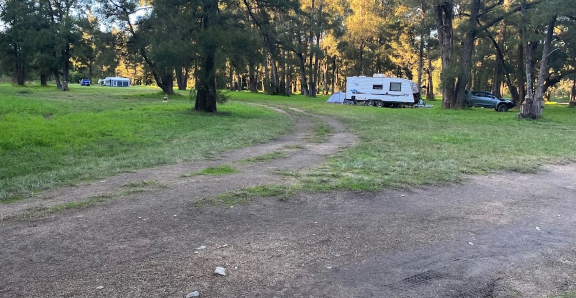
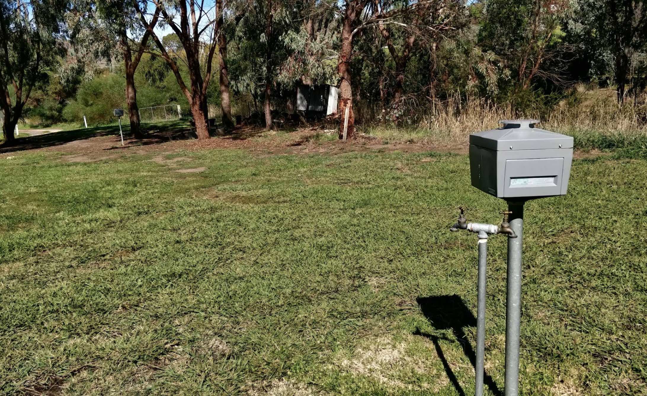
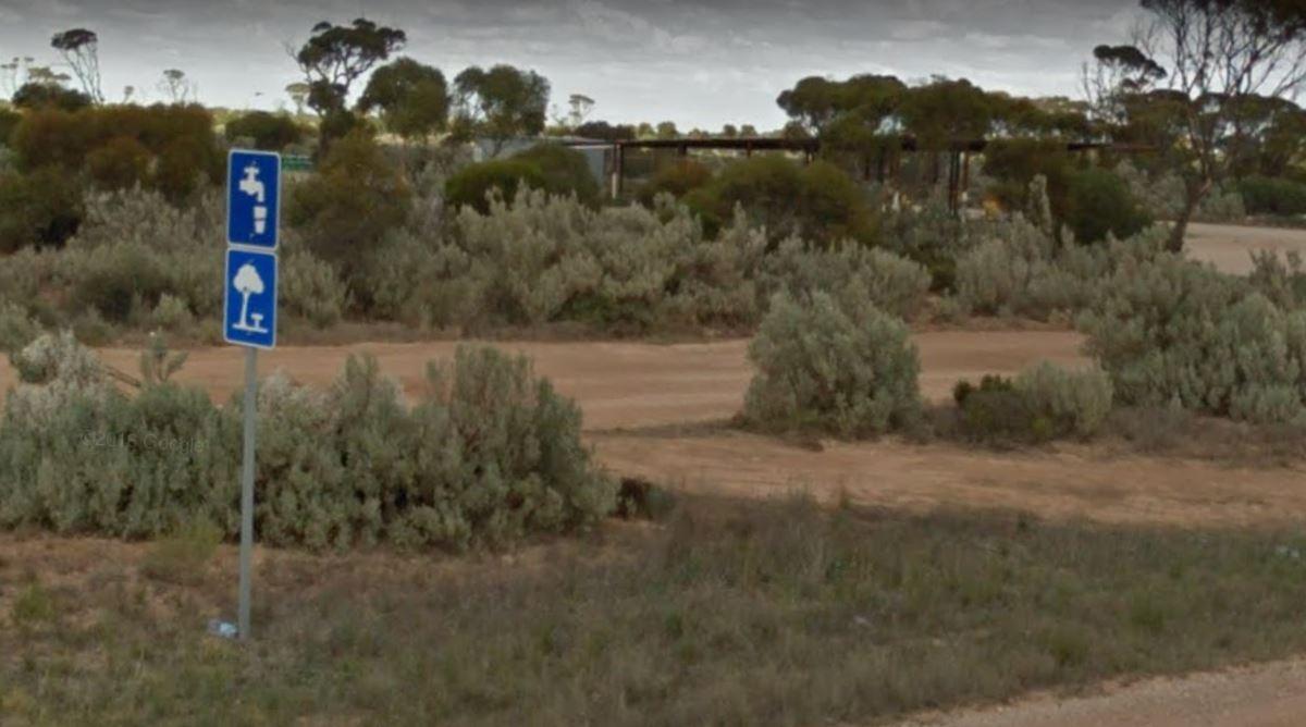
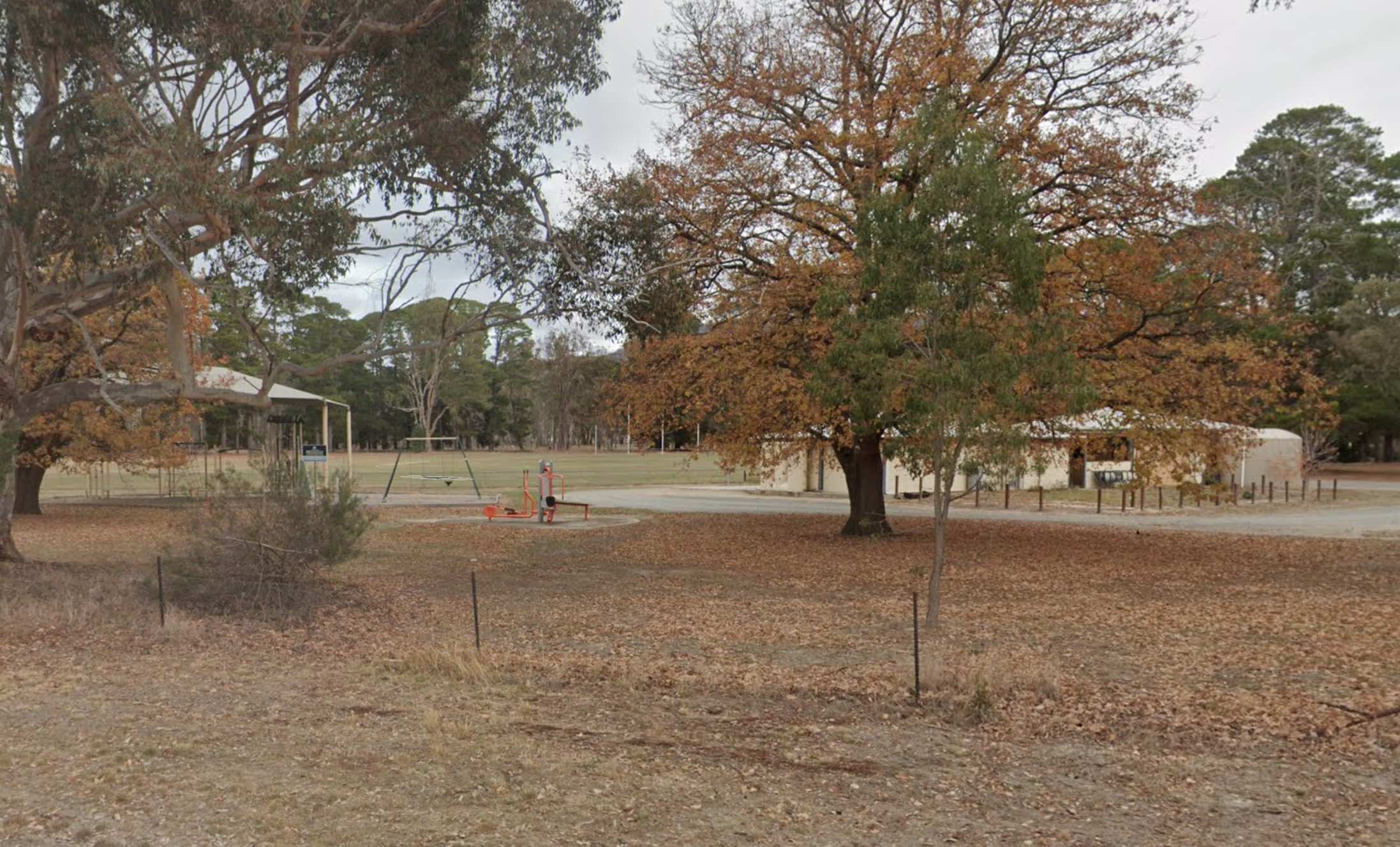
Facilities Available: Water Taps
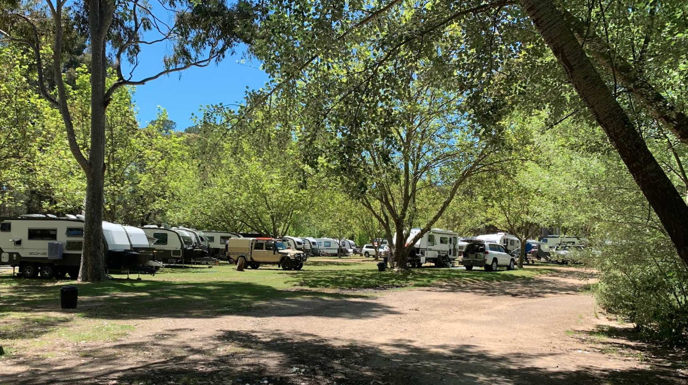
Results 1 - 507 of 507
0 reviews
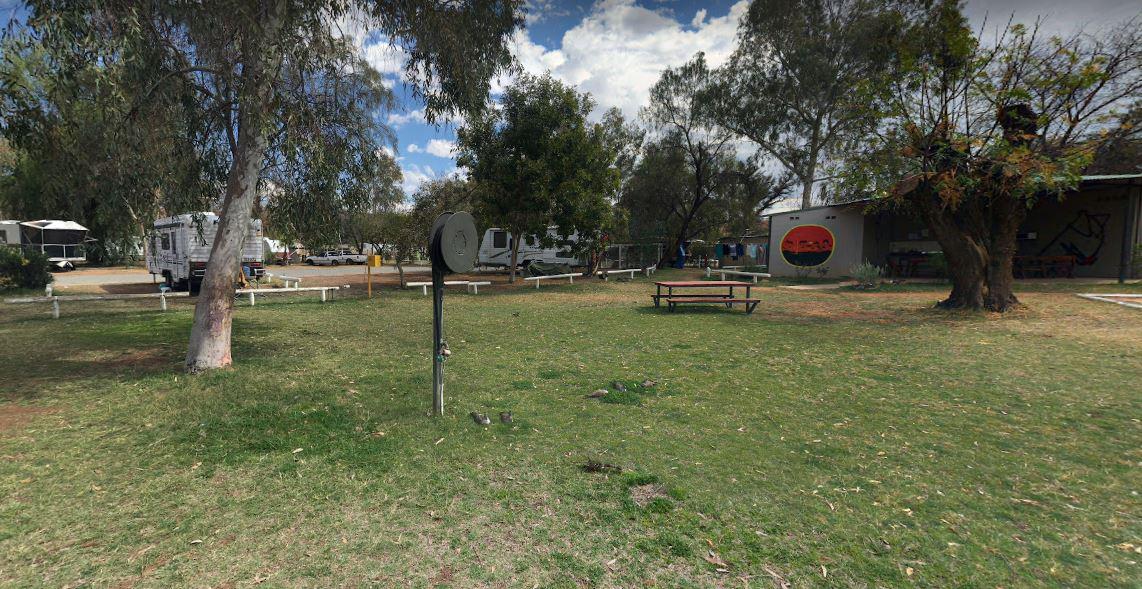
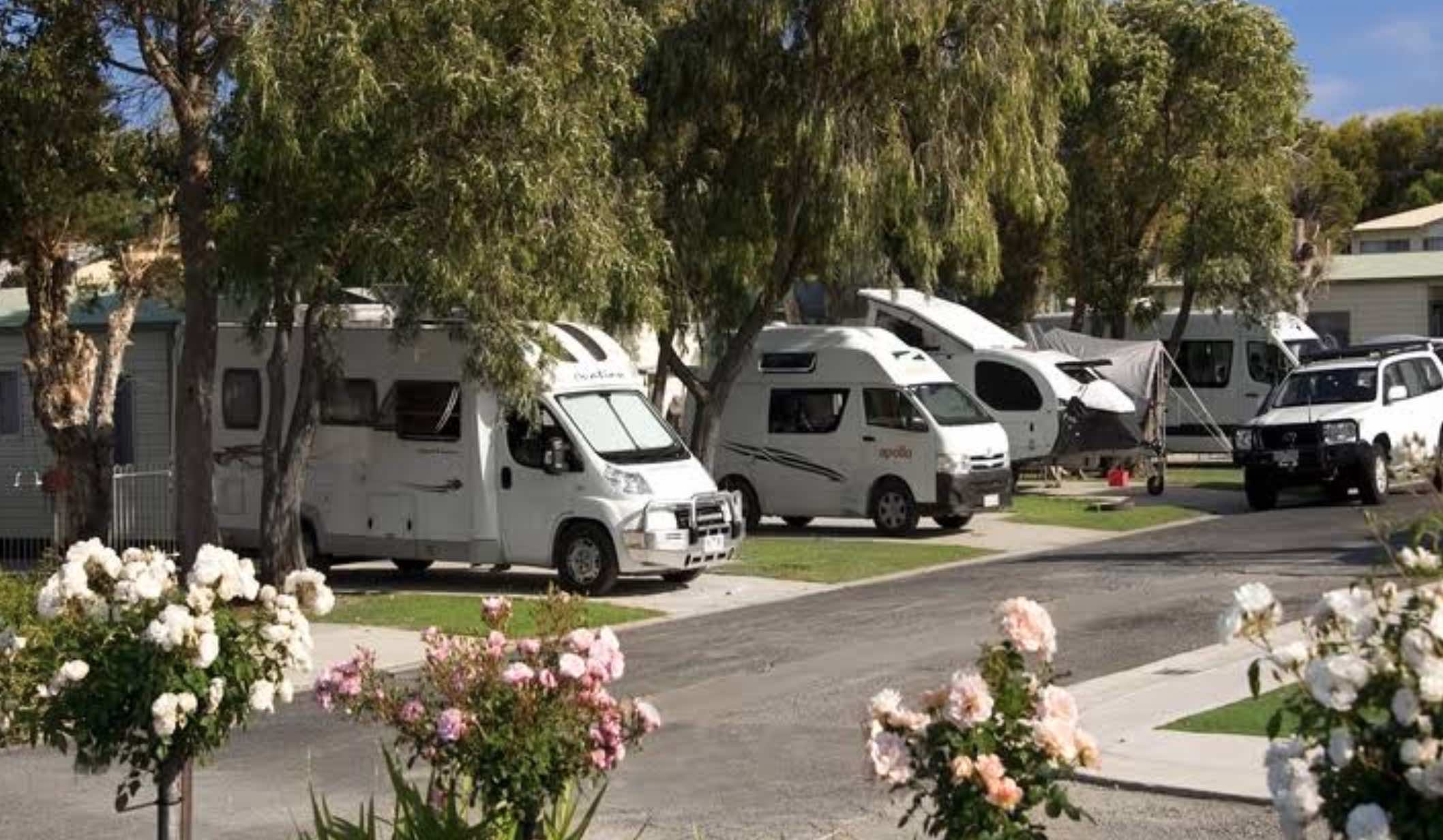
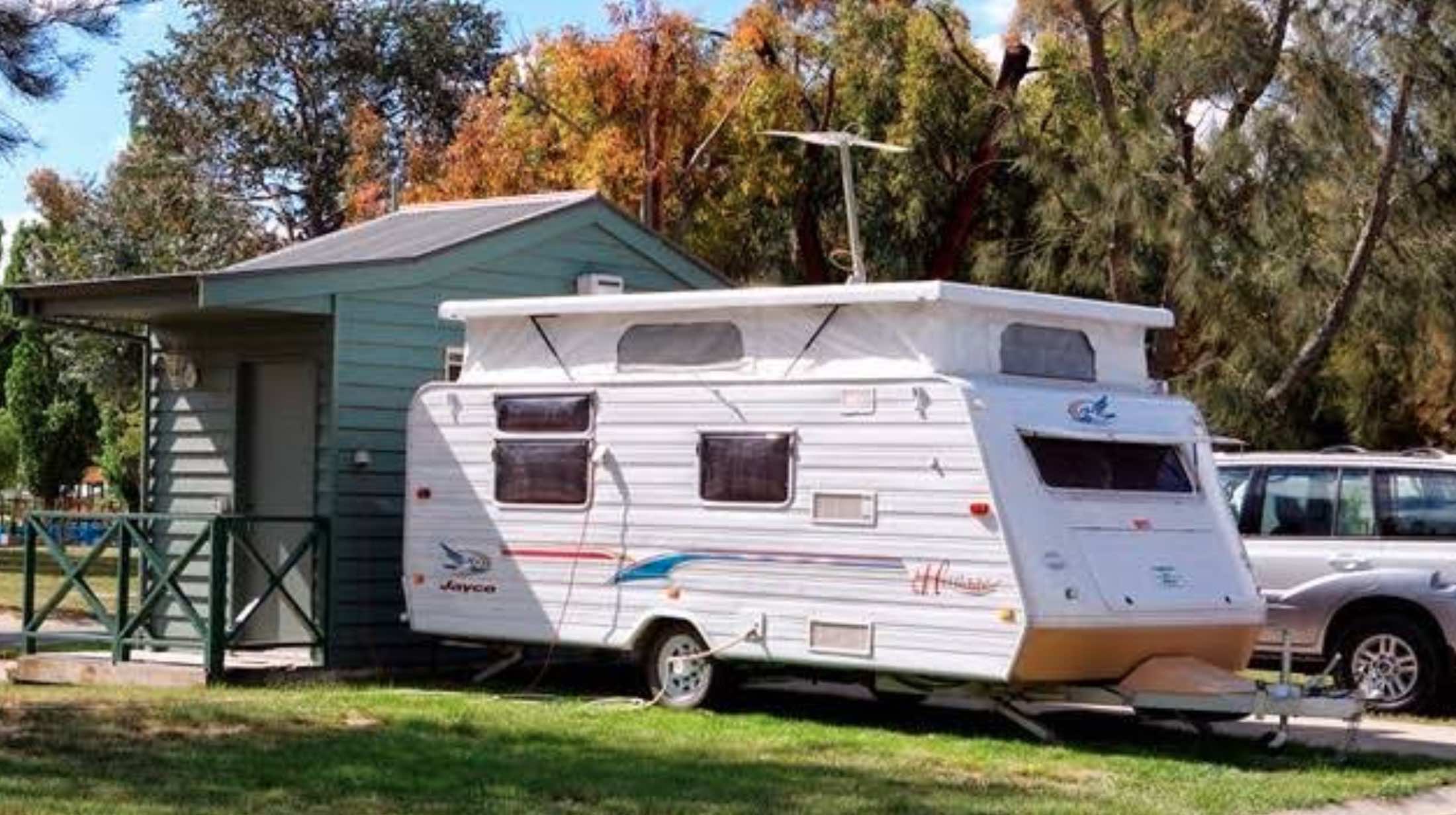
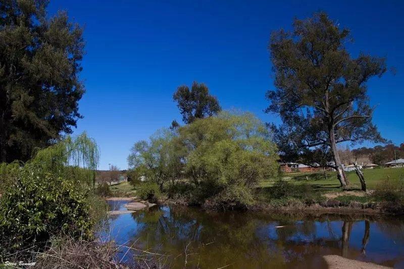
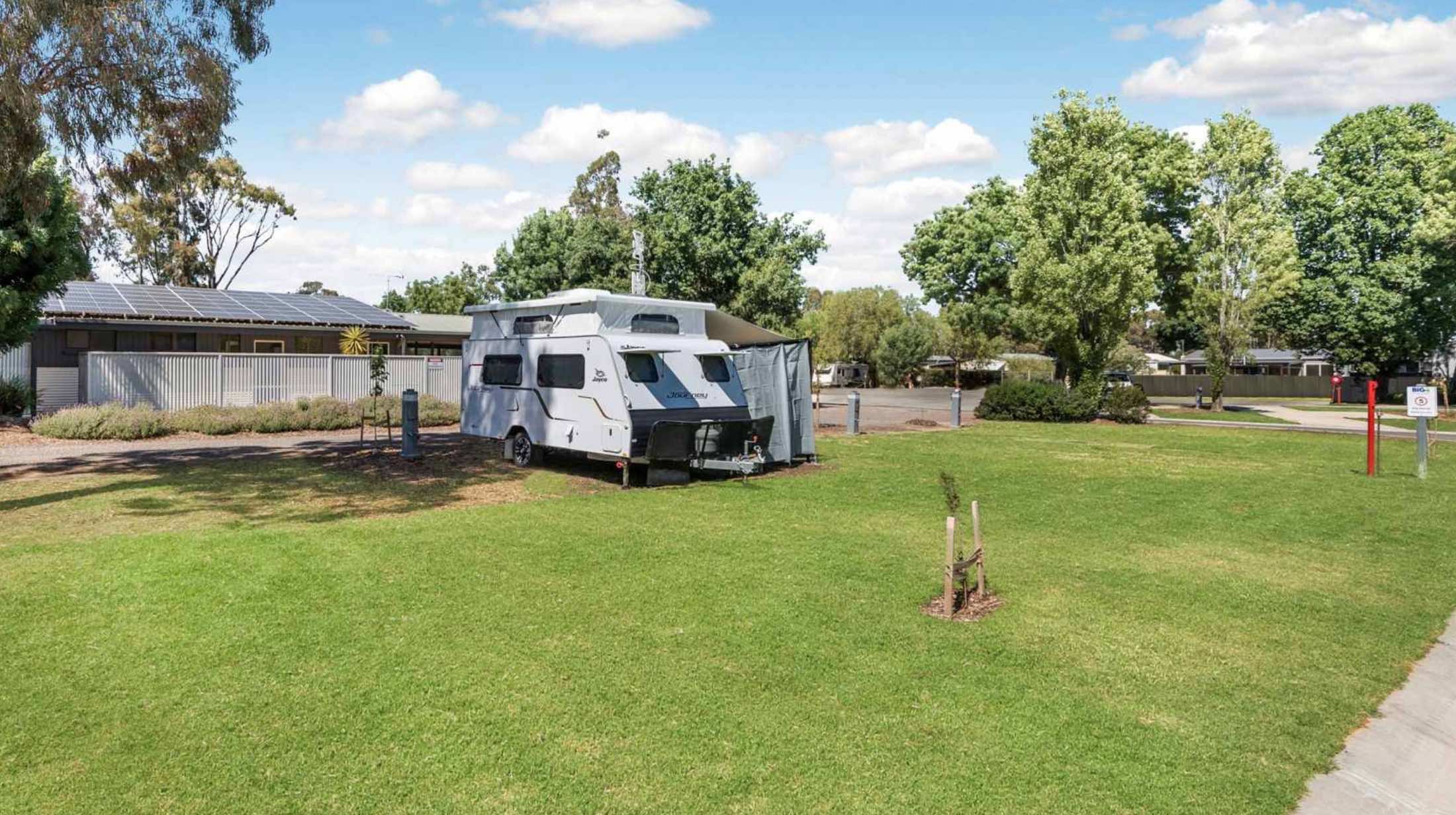
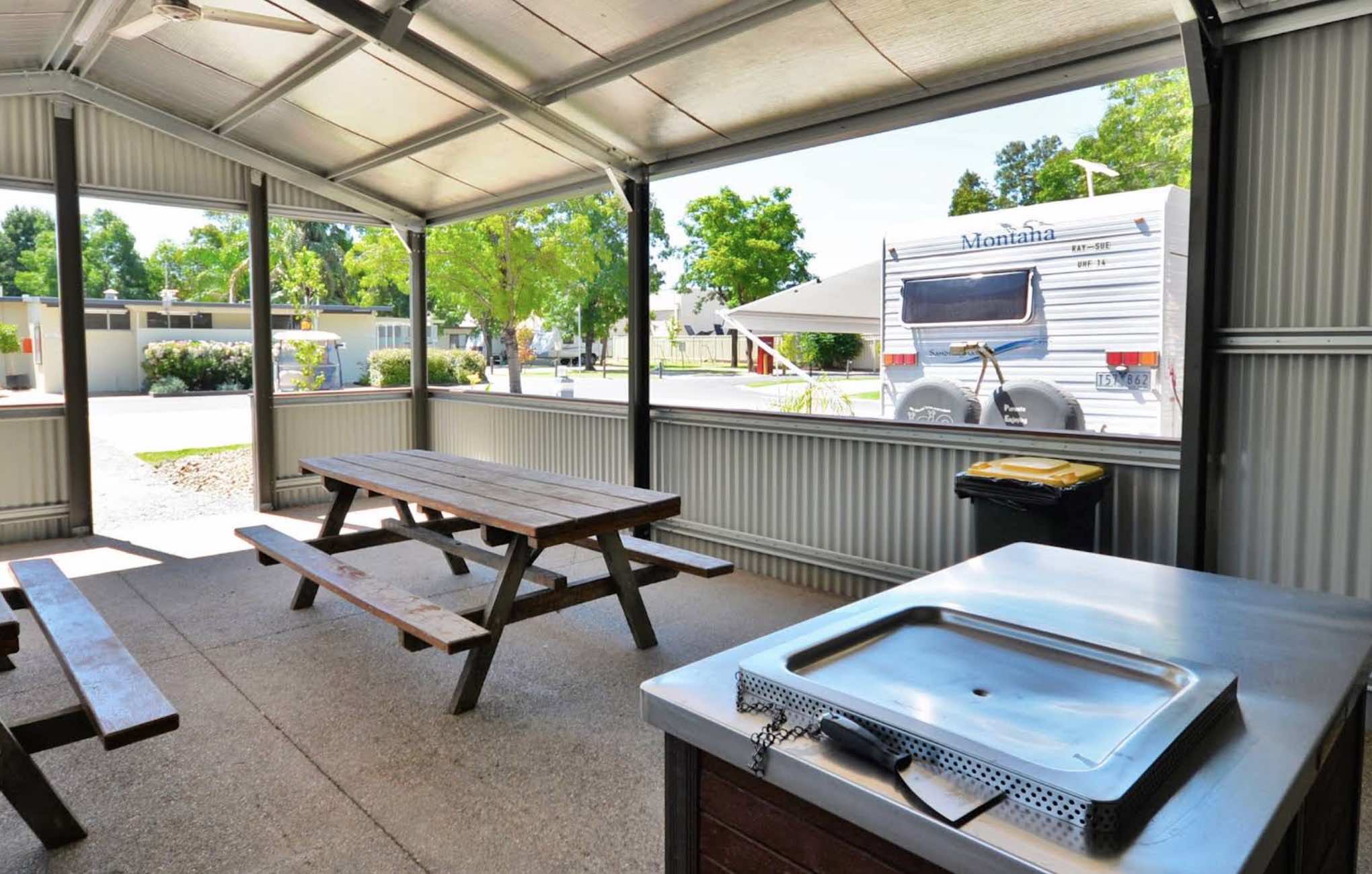
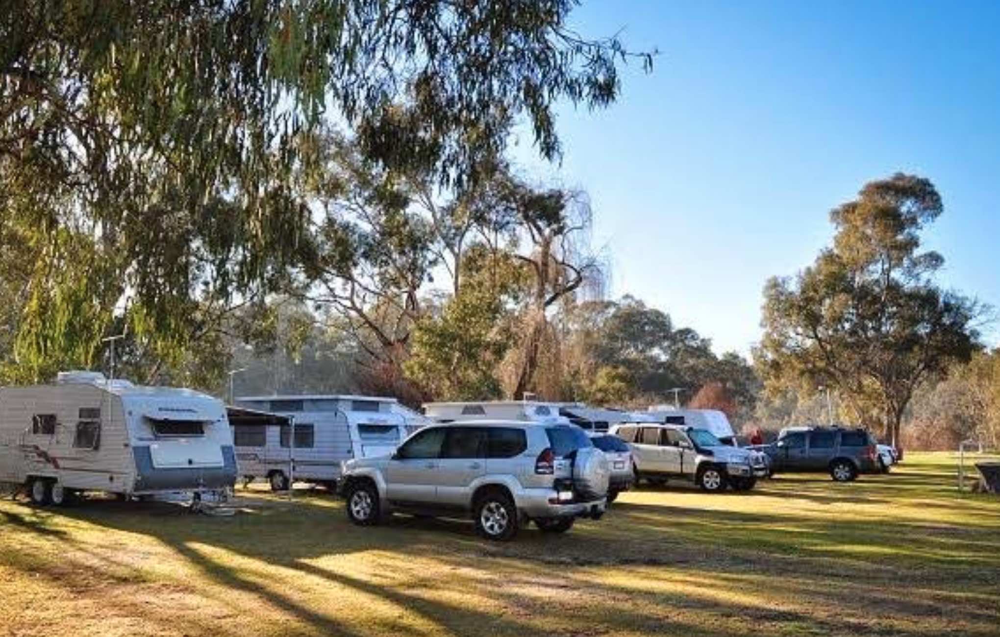
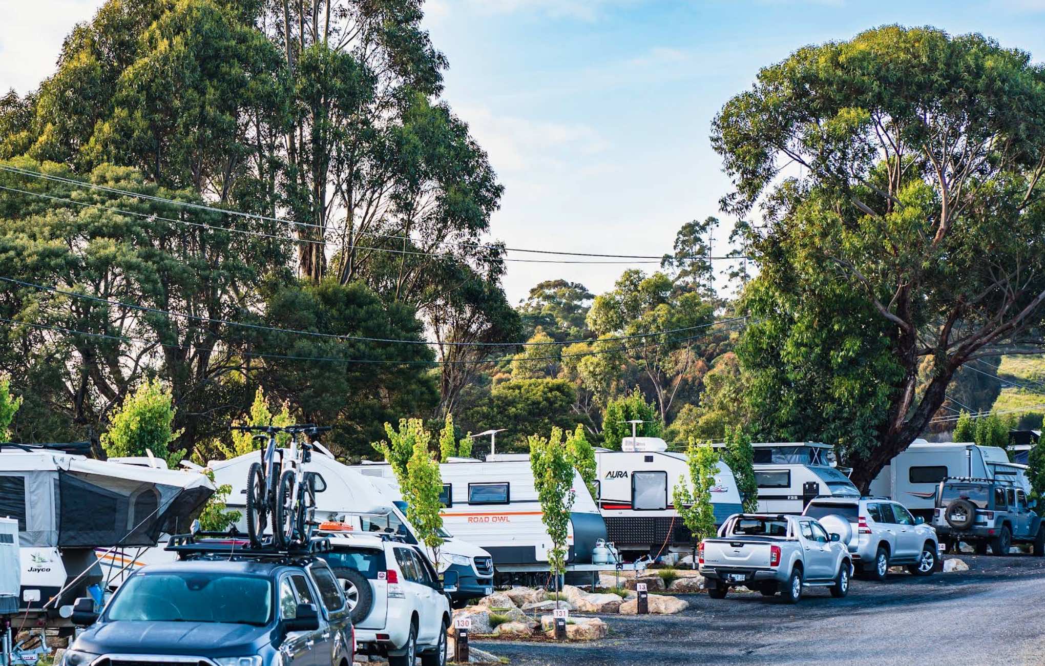
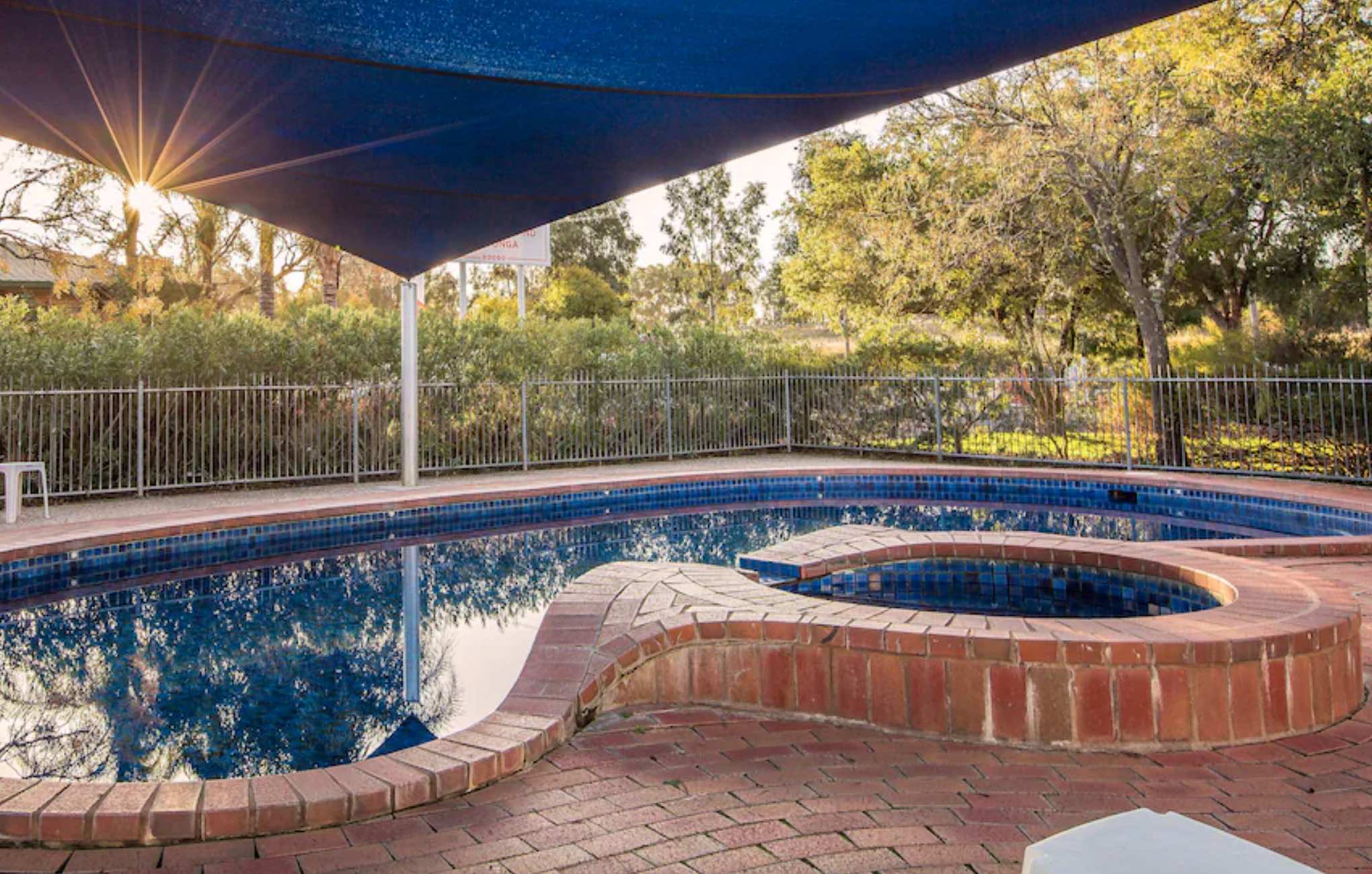
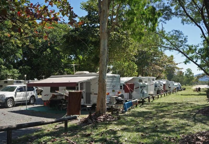
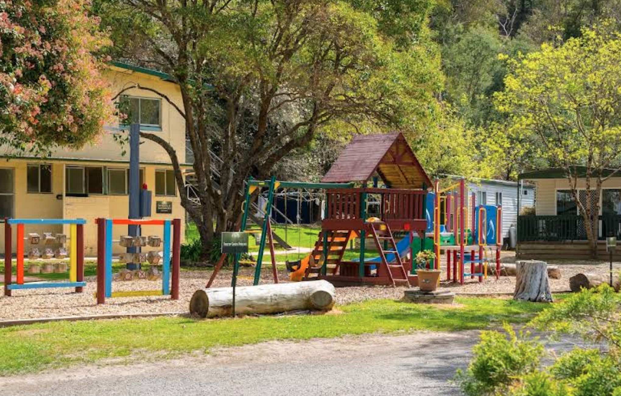
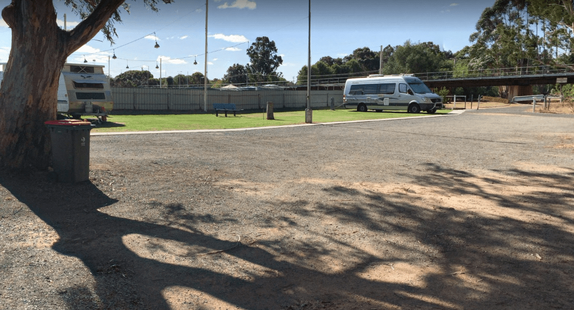
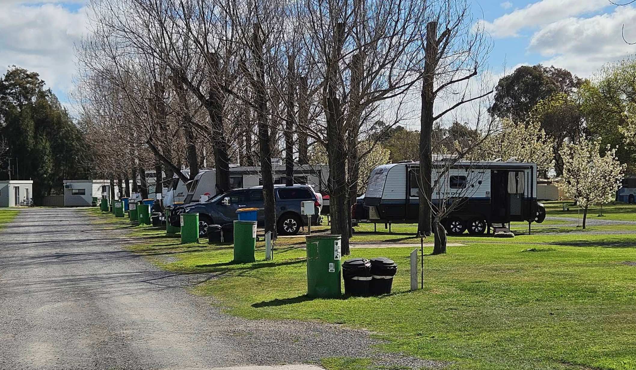
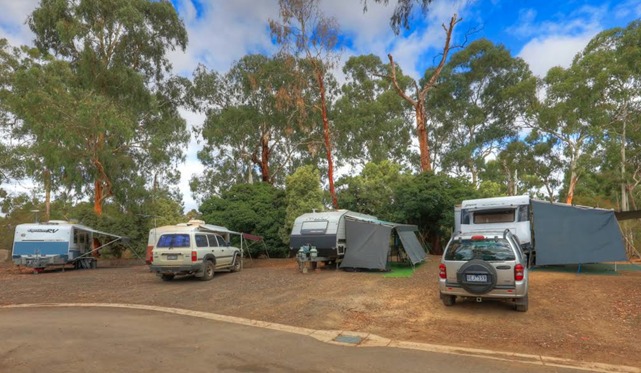
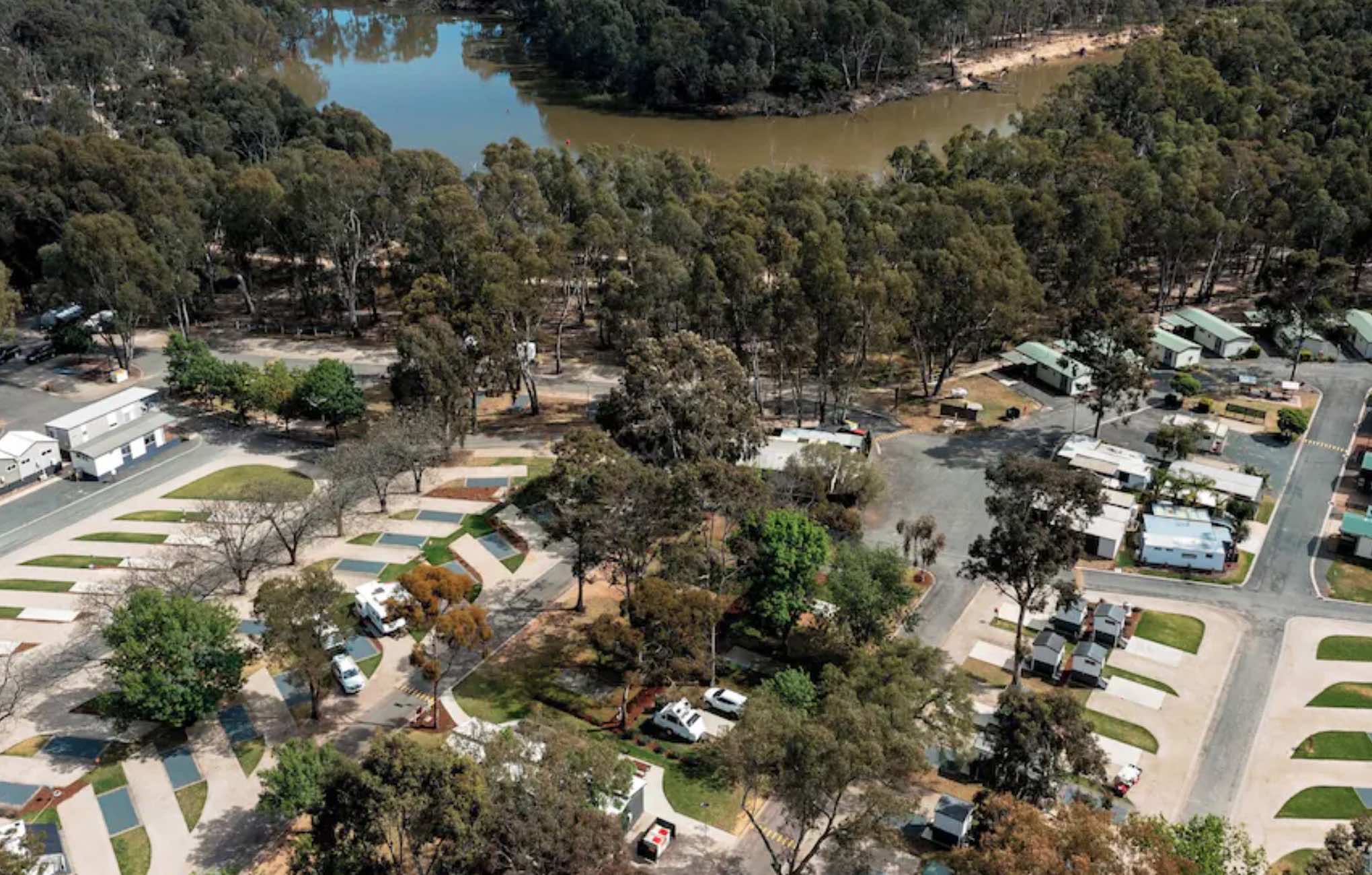
A-Line Holiday Park, Bendigo: Your Relaxing Base in Goldfields Country
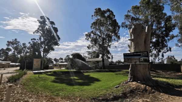
Escape to the tranquil bushland setting of A-Line Holiday Park in Bendigo, offering a peaceful and comfortable stay while being conveniently close to the city's rich history and a ...
Read More...
Category
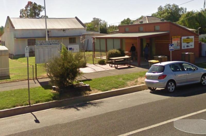
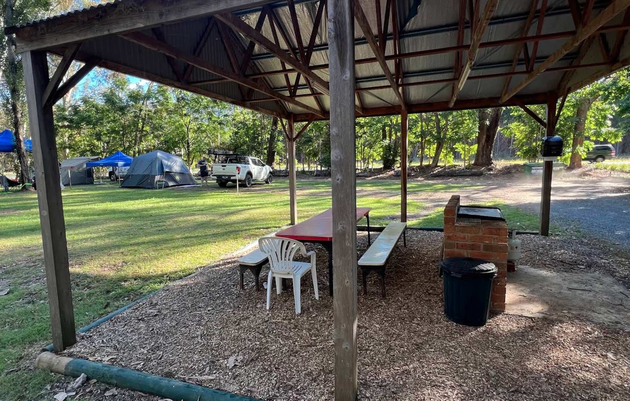
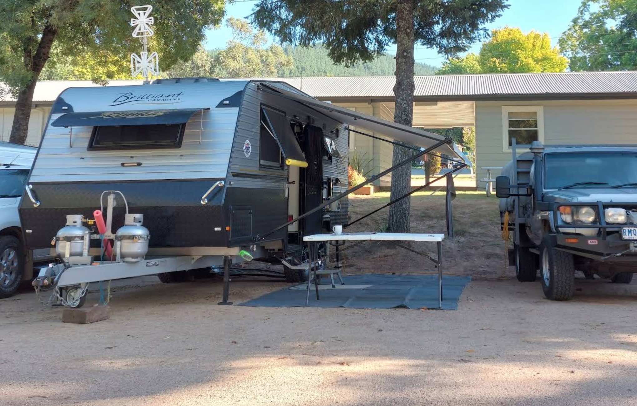
Caravan Parks List
Facilities Available ,
,  ,
,  ,
,  ,
,  ,
,  ,
,  ,
,  ,
,  ,
, 
, , , , , , , , ,
Camping Info

78 Betka Road, Mallacoota, 3892, Victoria
0 reviews
A'wangralea Caravan Park, Mallacoota: A Tranquil Coastal Escape
Nestled in the coastal town of Mallacoota in Victoria's East Gippsland region, A'wangralea Caravan Park offers a peaceful and well-equipped base for exploring the stunning natural surround ...
Read More...
Category
Caravan Parks List
Facilities Available, , ,  , ,
, ,  ,
,  , ,
, ,  ,
,
, , , , , , , , ,
Camping Info
0 reviews
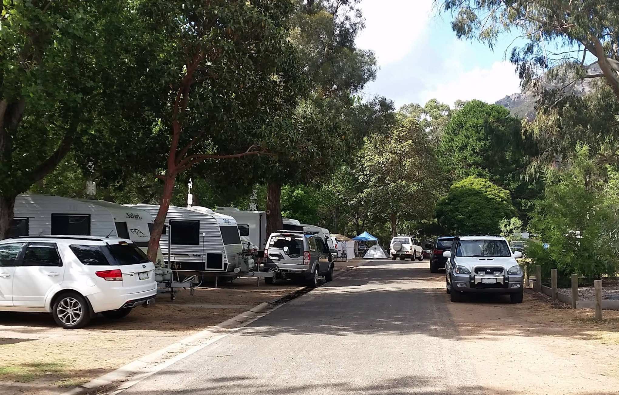
Acacia Caravan Park, Ararat: Your Gateway to the Grampians and Beyond
Located in the rural city of Ararat, Victoria, Acacia Caravan Park offers a friendly and relaxed base for exploring the vibrant local area and the majestic Grampians National Park. S ...
Read More...
Category
Caravan Parks List
Facilities Available, , , ,  ,
,  ,
,  ,
,  , , , , , ,
  , , ,
, , ,
, , , , , , , , , , , , , , , ,
Camping Info
0 reviews
ACE Caravan Park, Seymour: A Tranquil Base in the Goulburn Valley
Nestled in the scenic countryside of Seymour, Victoria, ACE Caravan Park offers a peaceful retreat for travellers exploring the Goulburn Valley region. Located at 3-5 Emily Street, the p ...
Read More...
Category
Caravan Parks List
Facilities Available, , , , ,
, , , , ,
Camping Info
Dorat Road, Adelaide River, 0846, Northern Territory
0 reviews
Bar open from 4pm Thursday – Sunday. Meals available 6pm-8pm Thursday-Sunday
PETS are welcome however, MUST be on a leash at all times. (Subject to our discretion).
We do not take pre-bookings.
Please contact our Caravan Park on (08) 8976 7032 with any ...
Read More...
Category
Caravan Parks
Facilities Available, , , , , , , ,  ,
,
, , , , , , , , ,
Camping Info
0 reviews
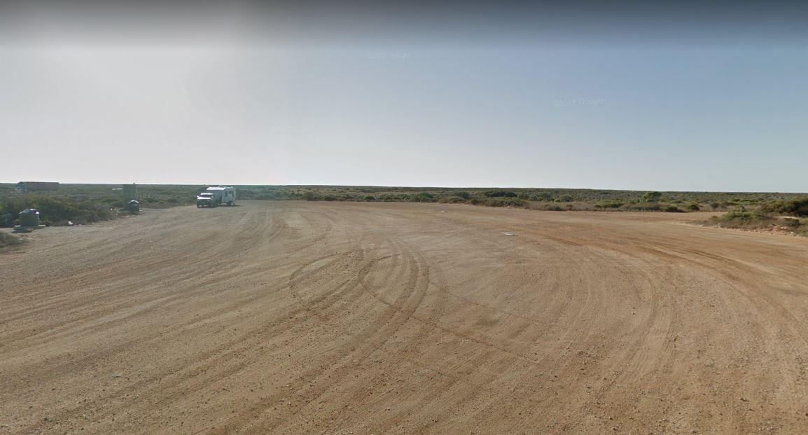
Aeroplane Parking Bay has a public toilet, picnic tables and rubbish bins and lots of room to park. This is perhaps not the best place for an overnight stay for your caravan or camper, as trucks use this halfway point between Sydney and Melbourne to meet ...
Read More...
Category
Rest Areas
Facilities Available,  , ,
, ,
, , ,
Camping Info
19-25 Great Ocean Road, Aireys Inlet, 3231, Victoria
0 reviews
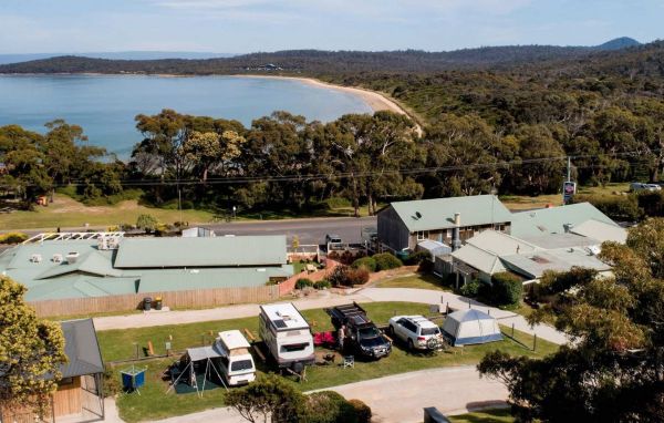
BIG4 Aireys Inlet: Your Coastal Escape on the Great Ocean Road
Located at 19-25 Great Ocean Road, Aireys Inlet, Victoria, BIG4 Aireys Inlet is a popular holiday park situated at the stunning beginning of the world-famous Great Ocean Road. Nestled betwe ...
Read More...
Category
Caravan Parks List
0 reviews
Airport Tourist Village Melbourne offers casual cabins, apartments, villas, and powered sites in a relaxed setting, conveniently located near Melbourne's Tullamarine Airport. It's a down-to-earth property known for its self-contained accommodation options ...
Read More...
Category
Caravan Parks List
Facilities Available,  , , , ,
, , , , ,
Camping Info
0 reviews
Entry from Cardinia Street (Gate 5) Please book ahead
Category
Camping Fees Apply
Facilities Available, , , , , , , , ,
, , , , , , , , ,
Camping Info
0 reviews
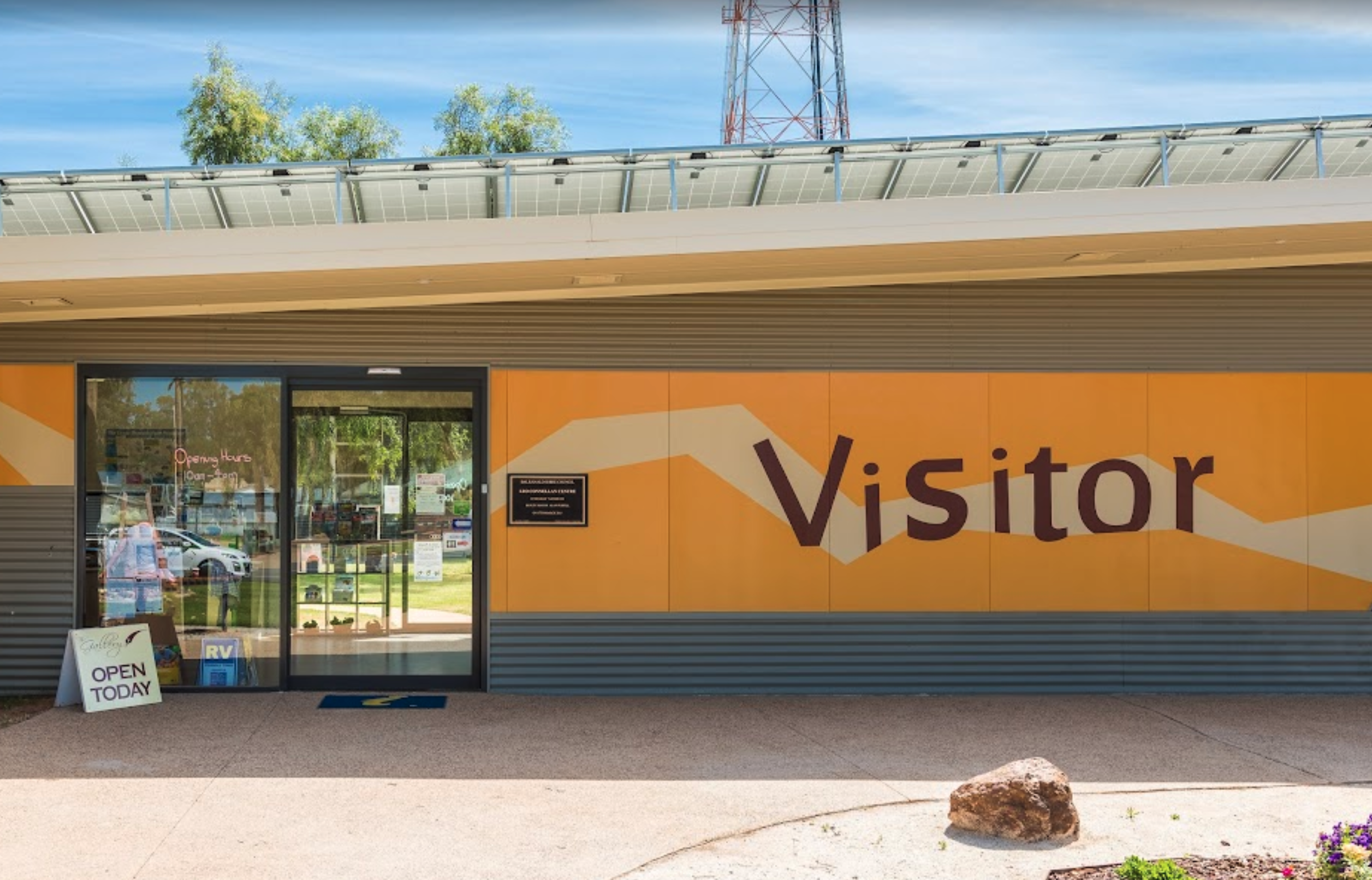
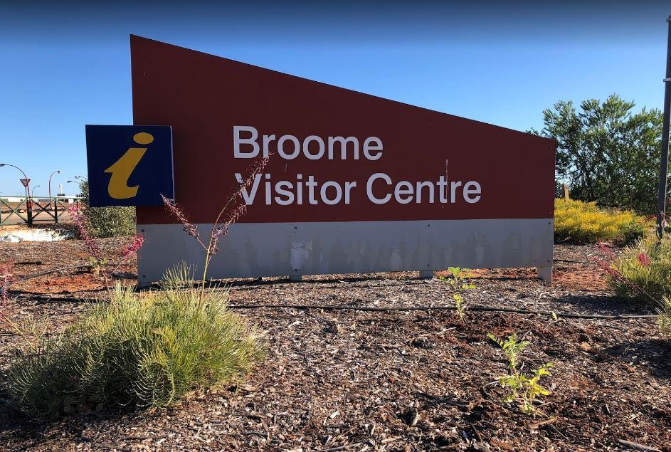
The Albury Visitor Information Centre has a Dump point located in car park, water taps also available. Open Hours:9.00am to 5.00pm everyday
Category
Visitor Information Centres
Facilities Available, ,
, ,
Camping Info
0 reviews
Alexandra Showgrounds Caravan Park offers a relaxed and budget-friendly accommodation option in the charming town of Alexandra, Victoria. Operated largely by volunteers, the park provides a quiet retreat while being conveniently located within easy walkin ...
Read More...
Category
Camping Fees Apply
Facilities Available, , , , , , ,
, , , , , , ,
Camping Info, 
0 reviews
Alexandra Tourist Park: A Relaxing Getaway in Victoria's High Country
Nestled in the picturesque town of Alexandra, Victoria, Alexandra Tourist Park offers a tranquil retreat in the foothills of the Great Dividing Range. Located at 5016 Maroondah Highw ...
Read More...
Category
Caravan Parks List
Facilities Available, , , ,  , , , , ,
  , ,
, ,
, , , , , , , , , , ,
Camping Info
0 reviews
Alivio Tourist Park O'Connor - Canberra's Bushland Resort
Alivio Tourist Park is widely considered Canberra's premier holiday park accommodation, offering a unique blend of modern resort luxury and tranquil Australian bushland. Located in the leafy ...
Read More...
Category
Caravan Parks
Facilities Available,  ,
,  , ,
, ,  ,
,  , , , ,
  , , , , ,
  , , , ,
, , , , , , , , , , , , , , , , , ,
Camping Info
0 reviews
All Seasons Holiday Park, Mildura: Sunny Stays in the Murray Region
Located at 818 Fifteenth Street (Calder Highway) in Mildura, Victoria, All Seasons Holiday Park is a popular and award-winning park nestled in the heart of town. Offering a relaxed and ...
Read More...
Category
Caravan Parks List
Facilities Available, , , ,  , ,
, ,  , , , ,
, , , , , , , , , ,
Camping Info
459 Headworks Road, Torrumbarry, 3562, Victoria
0 reviews
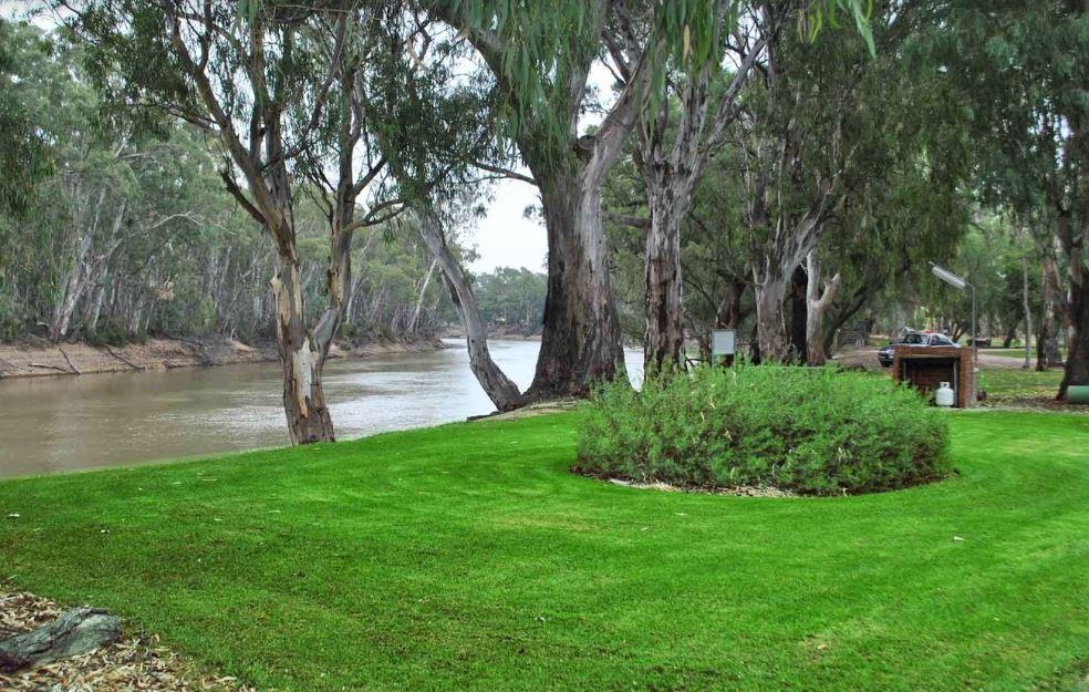
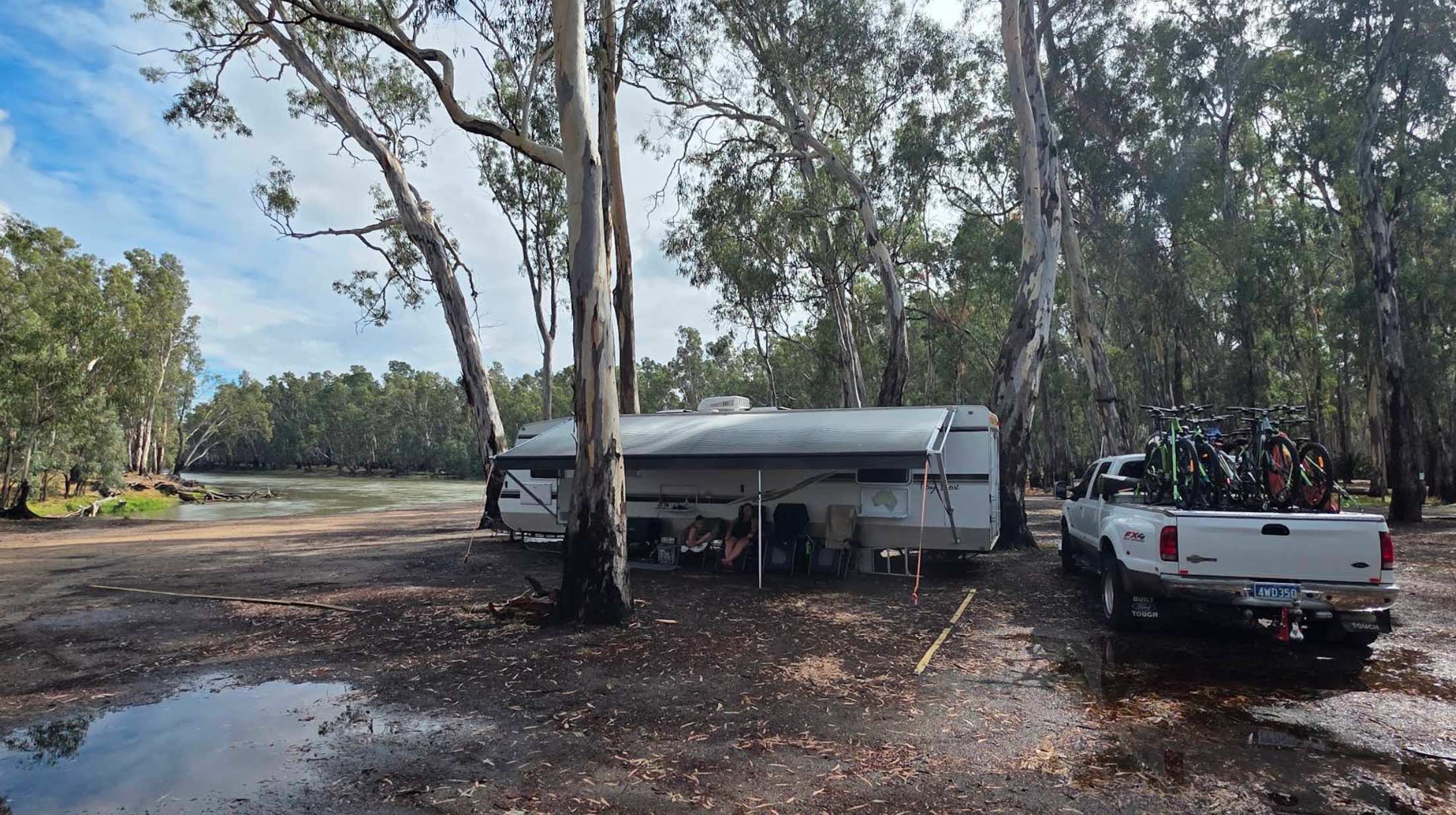
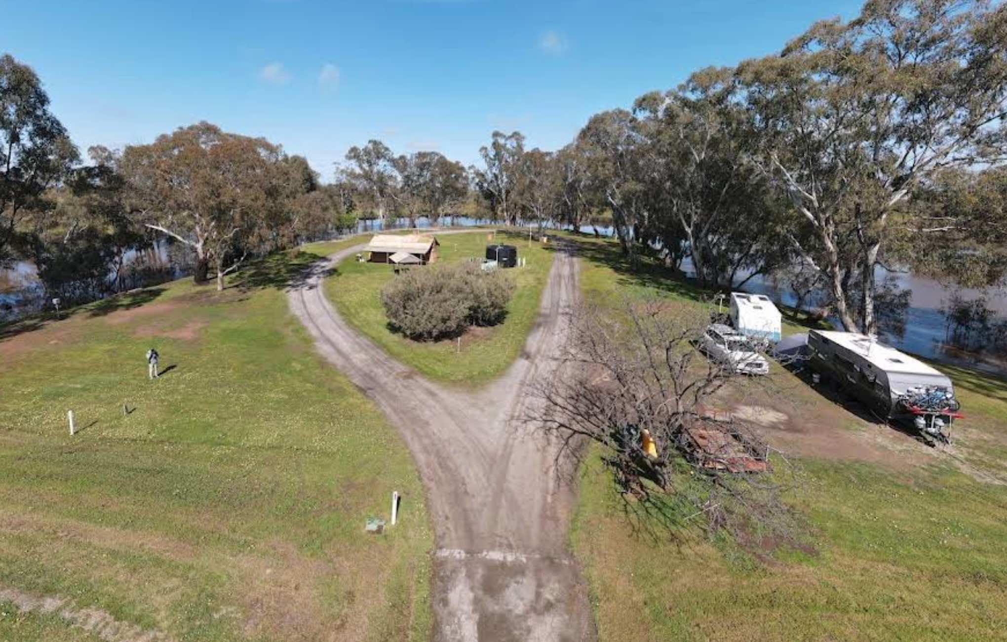
All The Rivers Run Caravan Park, Torrumbarry: Riverside Tranquility near Echuca
Nestled in the serene setting of Torrumbarry, Victoria, All The Rivers Run Caravan Park offers a peaceful escape on the banks of or with easy access to the Murray River. Lo ...
Read More...
Category
Caravan Parks List
Facilities Available, , , , ,  , , , , , ,
, , , , , , , , , , ,
Camping Info
79 Slip Road, Paynesville, 3880, Victoria
0 reviews
Allawah Caravan And Boat Park, Paynesville: A Boater's Haven in the Gippsland Lakes
Situated at 79 Slip Road in Paynesville, Victoria, Allawah Caravan And Boat Park (also referred to as Allawah Lifestyle Park) offers an absolute waterfront location wit ...
Read More...
Category
Caravan Parks List
Facilities Available, , , , ,  , , ,
, , ,
, , , , , , , ,
Camping Info
0 reviews
Amaroo Park, Cowes, Phillip Island: A Welcoming Base in a Prime Location
Nestled in the heart of Cowes on Phillip Island, Victoria, Amaroo Park offers a convenient and friendly place to stay, ideally situated for exploring the island's famous attractio ...
Read More...
Category
Caravan Parks List
Facilities Available, , , , , , , , , ,
, , , , , , , , , ,
Camping Info
0 reviews
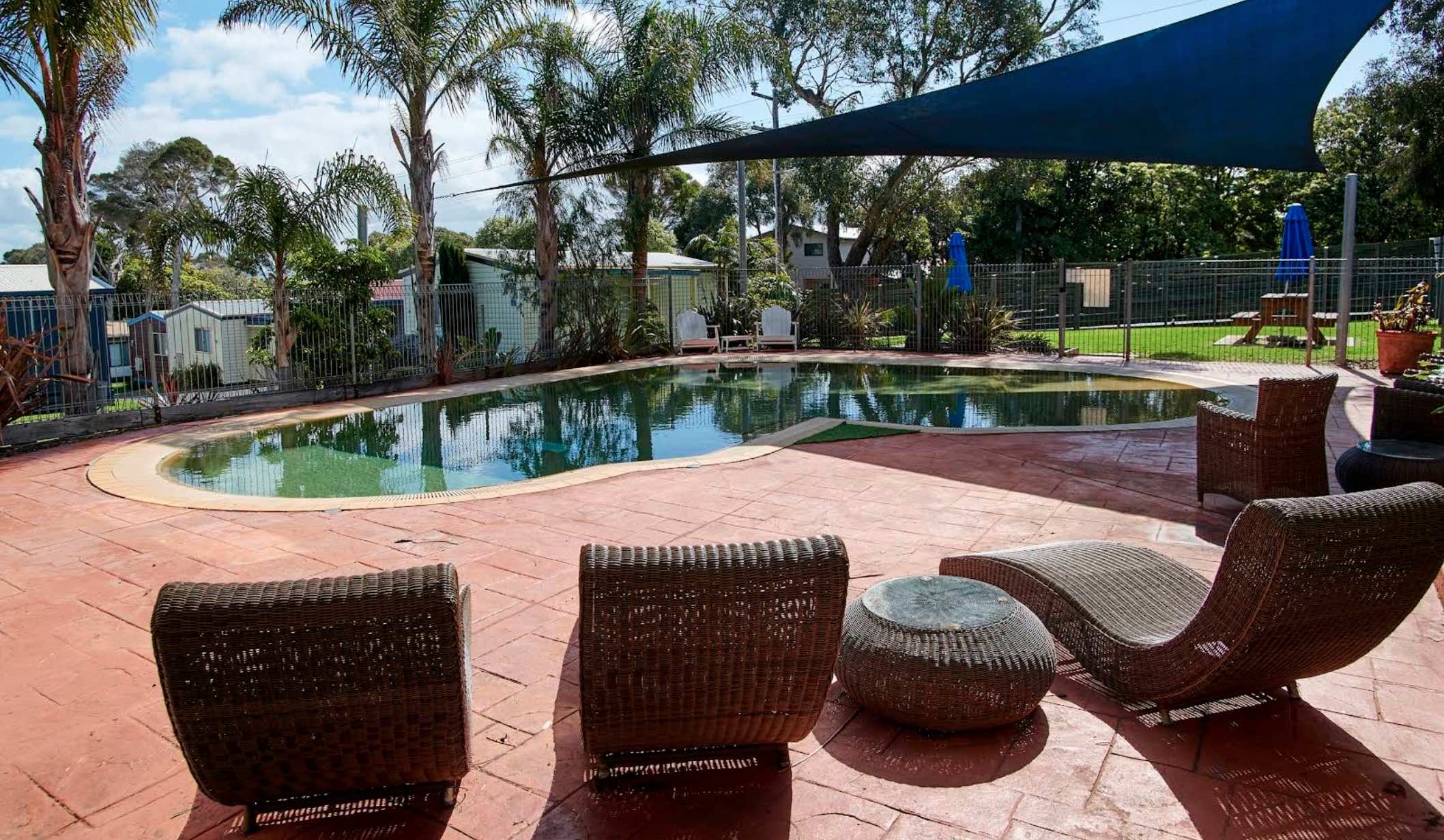
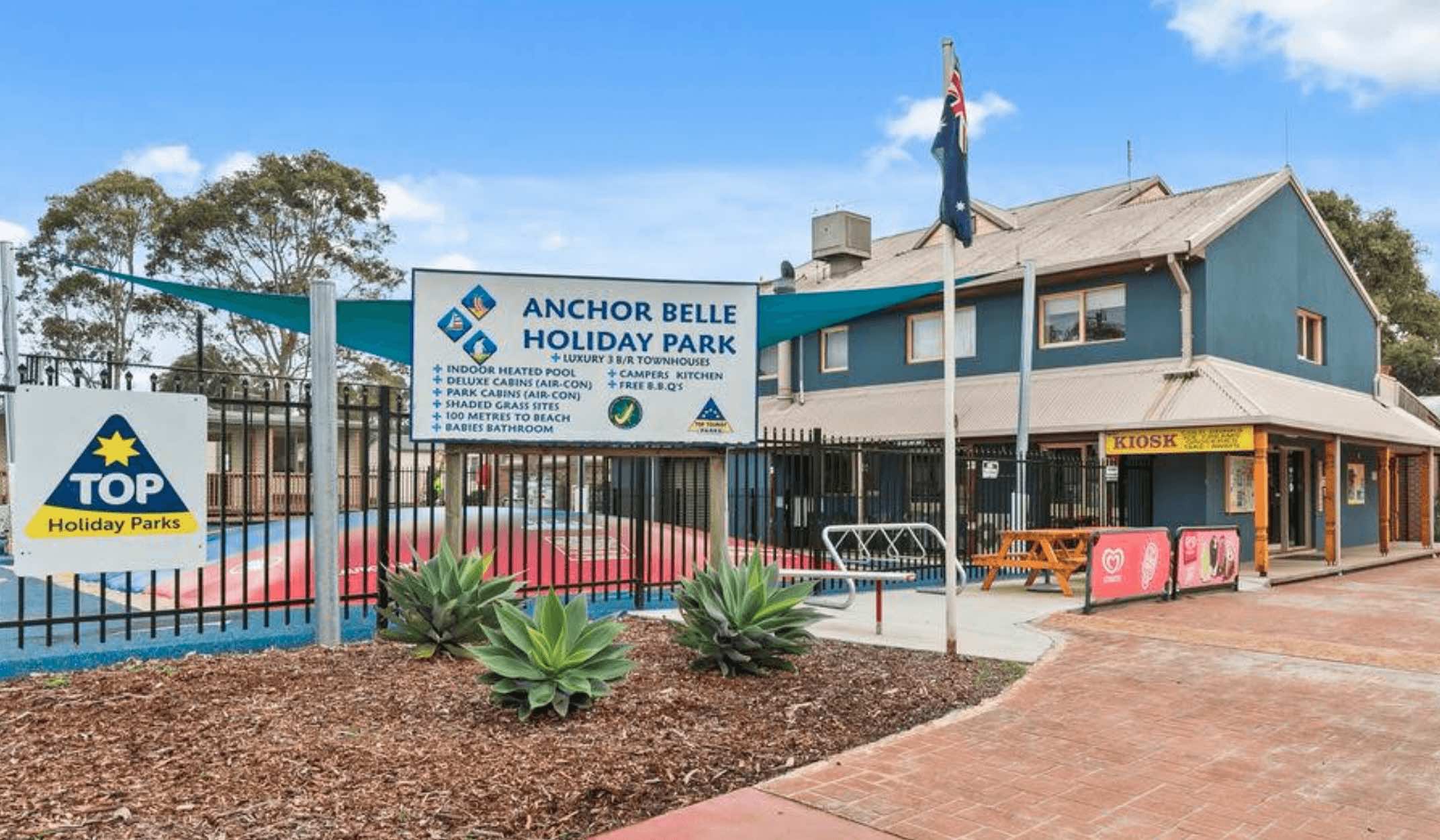
Anchor Belle Holiday Park, Phillip Island: A Family-Friendly Escape by the Sea
Located at 272 Church Street in Cowes, on the popular Phillip Island in Victoria, Anchor Belle Holiday Park is a family-friendly park ideally situated just a short stroll fr ...
Read More...
Category
Caravan Parks List
Facilities Available, , , , , ,  , , , , , ,
, , , , , , , , , , , ,
Camping Info
0 reviews
Anglesea Family Caravan Park: Beachfront Fun on the Great Ocean Road
Situated at 35 Cameron Road in Anglesea, Victoria, Anglesea Family Caravan Park, formerly known as Anglesea Beachfront Family Caravan Park, holds a prime location at the heart of the ...
Read More...
Category
Caravan Parks List
Facilities Available, , , , , , ,  , , , ,
  , , , , , , , , , , , , , ,
, , , , , , , , , , , , , , , , , , , , , , , , ,
Camping Info
0 reviews
Apex RiverBeach Holiday Park, Mildura: Riverside Bliss by the Murray
Nestled on the banks of the majestic Murray River at 435 Cureton Avenue, Mildura, Victoria, Apex RiverBeach Holiday Park offers a truly unique holiday experience with direct access to ...
Read More...
Category
Caravan Parks List
Facilities Available, ,  , , , , , , , , , , , , ,
, , , , , , , , , , , , , , ,
Camping Info
27 Cawood Street, Apollo Bay, 3233, Victoria
0 reviews
Apollo Bay Holiday Park: Seaside Serenity on the Great Ocean Road
Nestled at 27 Cawood Street in the picturesque coastal town of Apollo Bay, Victoria, Apollo Bay Holiday Park offers a prime location just a stone's throw from the beach and a short strol ...
Read More...
Category
Caravan Parks List
70 Great Ocean Road, Apollo Bay, 3233, Victoria
0 reviews
Located at 70 Great Ocean Road in Apollo Bay, Victoria, Apollo Bay Recreation Reserve offers a more straightforward camping experience right by the Barham River and just across the road from the beach. This reserve provides a convenient and budget-friendl ...
Read More...
Category
Caravan Parks List
Facilities Available, , , , , , , , ,
, , , , , , , , ,
Camping Info
0 reviews
Araluen Creek Campground offers an authentic bush camping experience in the heart of the "Valley of Peace." Located in Araluen, NSW 2622, this campground is perfect for families, solo travelers, and nature enthusiasts seeking a quiet retreat.
Visitors ca ...
Read More...
Category
Free Camping
Facilities Available, , , ,
, , , ,
Camping Info
0 reviews
The Ardlethan Rest Area has long drop toilets, picnic tables and rubbish bins. You will hear some road noise through the night from the Newell Highway. This rest spot straddles both sides of the Highway and it's popular with truck drivers.
Category
Rest Areas
Facilities Available, , , ,
, , , ,
Camping Info
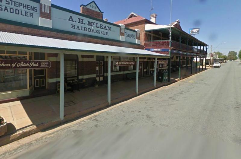
LOT 7001 Barnes Street, Ariah Park, 2665, New South Wales
0 reviews
Ariah Park Campground - Camping Riverina NSW - Heritage Village
Relax in the Town of Wowsers, Bowsers and Peppercorn Trees
Ariah Park Campground offers a delightful, low-cost camping experience in the heart of one of New South Wales' most charming her ...
Read More...
Category
Camping Fees Apply
Facilities Available, , , , , , , , ,
, , , , , , , , ,
Camping Info, 
0 reviews
Located just off Waterfall Way in Armidale, NSW, the Armidale Tourist Park is a well-equipped and family-friendly accommodation option perfect for caravanners, campers, and holidaymakers. The park offers 33 cabins, 95 powered sites, and 30 unpowered sites ...
Read More...
Category
Caravan Parks
Facilities Available, , , , , , ,
, , , , , , ,
Camping Info
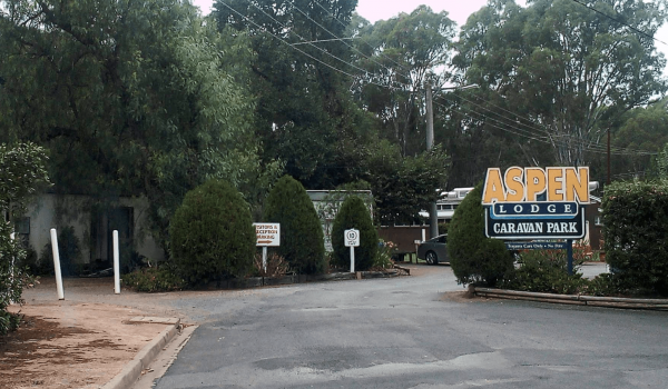
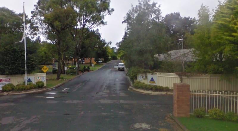
0 reviews
Aspen Lodge Caravan Park, Mooroopna: A Friendly Stay in the Goulburn Valley
You'll find Aspen Lodge Caravan Park tucked away at 1 Lawson Street in Mooroopna, Victoria. This park offers a friendly and settled atmosphere, particularly catering to long-t ...
Read More...
Category
Caravan Parks List
Facilities Available, , , , , ,
, , , , , ,
Camping Info
17949 Stuart Highway, Tablelands, 0862, Northern Territory
0 reviews
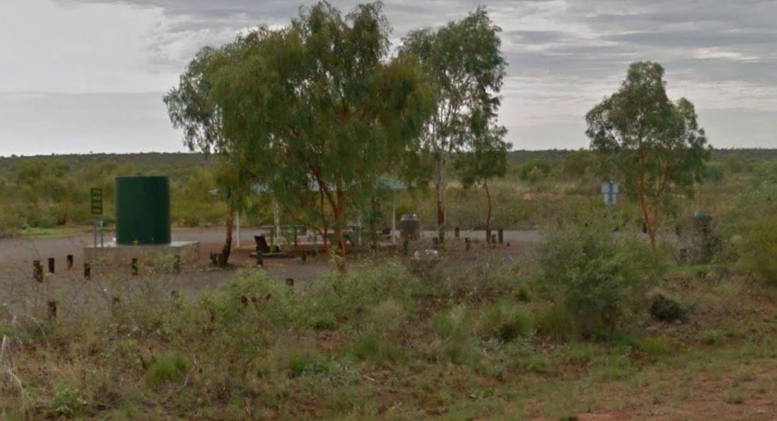
Attack Creek Rest Stop has some history attached to this place, and there is a cairne plaque dedicated to John McDouall Stuart and party on what occurred on 25th June 1860 an it's well worth reading. There is plenty of room to park with a few trees for sh ...
Read More...
Category
Rest Areas
Facilities Available, , , ,
, , , ,
Camping Info
0 reviews
Avoca Caravan Park: Your Base in the Pyrenees Shire
Avoca Caravan Park, located in the charming town of Avoca in Victoria, Australia, offers a tranquil and convenient stay for travellers exploring, Situated on the banks of the Avoca River and bordered by ...
Read More...
Category
Caravan Parks List
Facilities Available, , , , , , , ,
, , , , , , , ,
Camping Info
0 reviews
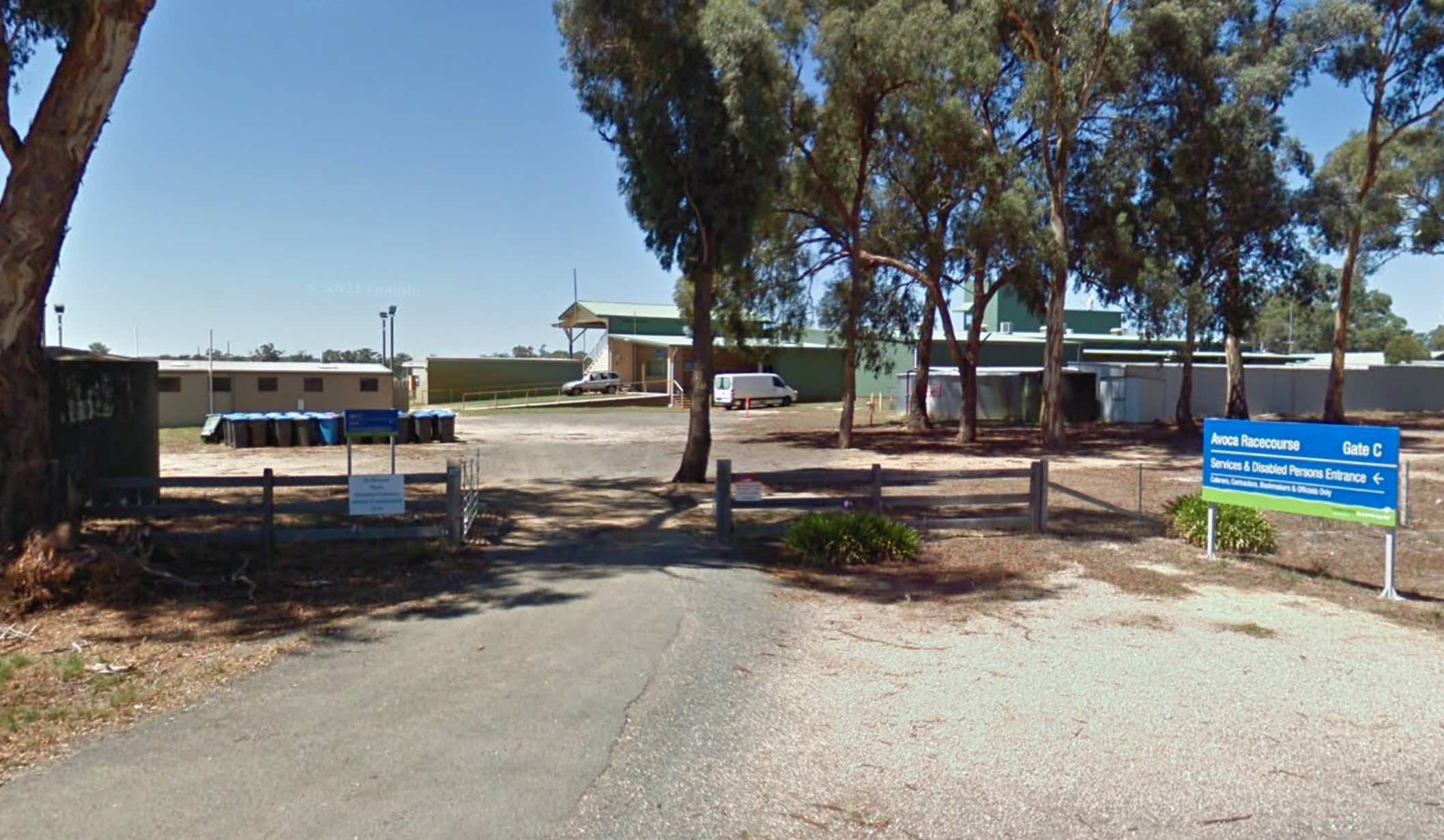
Avoca Shire Turf Club
NOTE: Camp-sites are only available for these two race meetings, and this site is closed to camping for the rest of the year. So Book Now, for the 3rd Saturday in October Avoca Cup same day as the Caulfield Cup, and secure you spot ...
Read More...
Category
Camping Fees Apply
Facilities Available, ,
, ,
Camping Info


723 Calder Highway, Maiden Gully, 3551, Victoria
0 reviews
Avondel Caravan Park, situated in Maiden Gully near the historic city of Bendigo, offers a comfortable base for exploring the region. The park provides a range of accommodation options, including powered sites suitable for caravans, motorhomes, and camper ...
Read More...
Category
Caravan Parks List
Facilities Available, , , , , , , , , , , , , ,
, , , , , , , , , , , , , ,
Camping Info

0 reviews
The Baan Hill Reserve Picnic Area is a popular spot for the 4x4 enthusiasts not far from the Ngarkat Conservation Park HIstoric site.
Category
Rest Areas
Facilities Available, , , ,
, , , ,
Camping Info
0 reviews
The Babinda Rotary Park Campground has picnic tables, rubbish bins and a toilet block a blackwater dump point next to it, there is also a potable water tap in the shower room. The park is on the banks of the Babinda Creek with plenty of room to park all s ...
Read More...
Category
Free Camping
Facilities Available, , , , , , , ,
, , , , , , , ,
Camping Info ,
, 

26 Main Street, Bacchus Marsh, 3340, Victoria
0 reviews
Bacchus Marsh Caravan Park is a well-maintained and friendly park situated conveniently just 1 kilometre west of the Bacchus Marsh town centre. Established in the 1950s, the park has a long history in the town. It serves as a central base for exploring lo ...
Read More...
Category
Caravan Parks List
Facilities Available, , , , , , , ,
, , , , , , , ,
Camping Info
0 reviews
The Baden Park Rest Area has plenty of parking spaces, long drop toilet, wood fired bbq, undercover picnic table with rubbish bins and tank water. There's really not a lot to do here, apart from taking a break from driving, and contemplate how hard it was ...
Read More...
Category
Rest Areas
Facilities Available, , , , ,
, , , , ,
Camping Info
0 reviews
NRMA Ballarat Holiday Park is a multi-award-winning holiday park nestled in the Victorian Goldfields town of Ballarat, approximately a 90-minute drive west of Melbourne. It's known as a family-friendly park with a range of facilities and its close proximi ...
Read More...
Category
Caravan Parks List
Facilities Available, , , , , , , , , , , , , ,
, , , , , , , , , , , , , ,
Camping Info
0 reviews
Balranald Visitor Information Centre Open Hours:9am to 4.30pm Mon to Fri9am to 1pm Sat & Sun Free 24 hour RV Parking
Category
Visitor Information Centres
Facilities Available, , , ,
, , , ,
Camping Info, 
0 reviews
The Barbour Park is a beautiful place by the river and plenty of room to park your caravan. There are free bbqs, toilets & hot showers, and swimming pool accross the road and you can walk to the main shopping centre on the Old Hume Highway, and spend ...
Read More...
Category
Rest Areas
Facilities Available, , , , , , ,
, , , , , , ,
Camping Info, 
0 reviews
The Ocean is within a hop skip and a jump from the Barkers Rocks Camping Area. Note: The Yorke Peninsula Council are now charging fees to stay here from the 24 January 2021
Category
Camping Fees Apply
Facilities Available, ,
, ,
Camping Info
0 reviews
Barmah Bridge Caravan Park is nestled on the banks of the iconic Murray River, providing a serene and welcoming environment for visitors. It's perfectly positioned for those wishing to explore the magnificent Barmah National Park, renowned as the world's ...
Read More...
Category
Caravan Parks List
Facilities Available, , , , , , , , ,
, , , , , , , , ,
Camping Info
Whispering Wall Road, Williamstown, 5351, South Australia
0 reviews
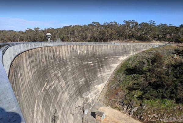
You will find the Barossa Reservoir Whispering Wall (Dam wall) was built between 1899 and 1903 its almost a perfect acoustic wall, with sound travelling along its full length using your normal voice levels. Free Entry
Category
Sightseeing Locations
Facilities Available, , , ,
, , , ,
Camping Info
0 reviews
The Barraba Lions Park Rest Area is a credit to the Lions and Shire council. This is pleasant little area adjacent the main road, offering a bit of shade and covered picnic tables, bbqs and long drop toilets.
Category
Rest Areas
Facilities Available, , , , , ,
, , , , , ,
Camping Info
0 reviews
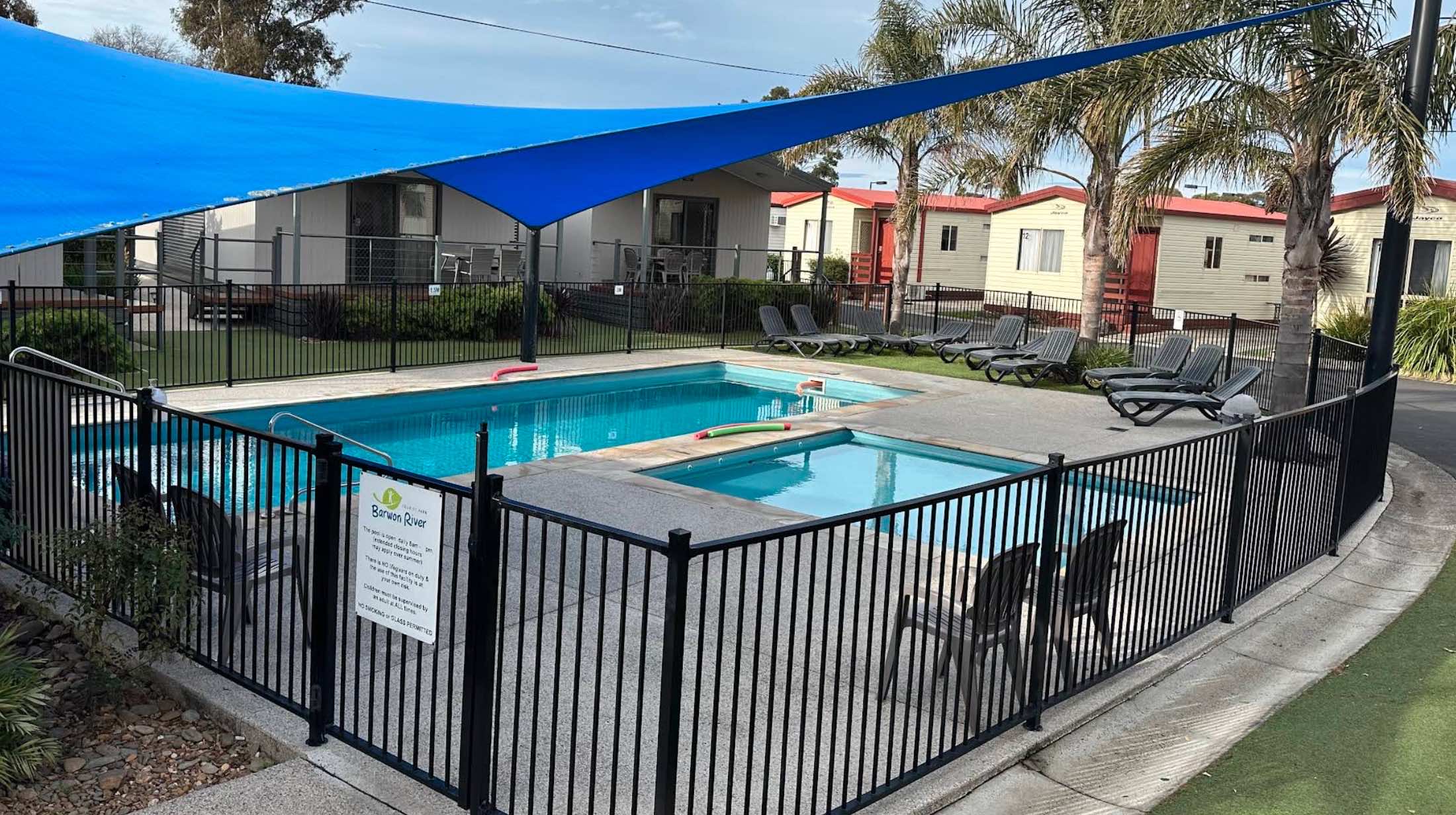
Barwon River Holiday Park is a well-regarded caravan park nestled on the banks of the picturesque Barwon River in Belmont, Geelong, Victoria. It offers a relaxed atmosphere with beautiful natural surroundings and abundant wildlife.2The park is known for i ...
Read More...
Category
Caravan Parks List
Facilities Available, , , , , , , , , , , , , ,
, , , , , , , , , , , , , ,
Camping Info
0 reviews
Beach Haven Caravan Park, San Remo, Victoria
Beach Haven Caravan Park in San Remo, Victoria, offers a peaceful and secluded retreat with a prime location just a short walk from the vibrant heart of San Remo, the gateway to Phillip Island. Nestled in an i ...
Read More...
Category
Caravan Parks List
Facilities Available, , , , , ,
, , , , , ,
Camping Info
0 reviews
Beach Park Tourist Caravan Park: Your Phillip Island Getaway
Beach Park Tourist Caravan Park, located on picturesque Phillip Island, offers a range of accommodation options for your coastal escape, from powered and unpowered sites to various cabin types. ...
Read More...
Category
Caravan Parks List
Facilities Available, , , , , , , , , , ,
, , , , , , , , , , ,
Camping Info
151 Stanley Road, Beechworth, 3747, Victoria
0 reviews
Beechworth Holiday Park
Nestled on the banks of Spring Creek, Beechworth Holiday Park (formerly known as Silver Creek Caravan Park) offers a relaxing bush environment just a short distance from the historic town of Beechworth in Victoria, Australia. It s ...
Read More...
Category
Caravan Parks List
Facilities Available, , , , , , , , , , , , , ,
, , , , , , , , , , , , , ,
Camping Info
20 Peach Drive, Beechworth, 3747, Victoria
0 reviews
Beechworth Lake Sambell Caravan Park: Your Gateway to Historic Beechworth and Natural Beauty
Nestled on the banks of picturesque Lake Sambell and bordered by Spring Creek, Beechworth Lake Sambell Caravan Park offers a tranquil and convenient accommodatio ...
Read More...
Category
Caravan Parks List
Facilities Available, , ,  , , , , , , , , , ,
  , ,
, ,
, , , , , , , , , , , , , , ,
Camping Info
0 reviews
The Bemboka Rest Area, situated along the iconic Snowy Mountains Highway in Bemboka, NSW 2550, serves as a welcoming haven for travelers and caravanners. Located at the foot of Brown Mountain, this rest area offers a picturesque spot to take a break or se ...
Read More...
Category
Free Camping
Facilities Available, , , , , , , ,
, , , , , , , ,
Camping Info
0 reviews
The Ben Hall Park Rest Area is on the main Highway just before the ACT border, with a few covered picnic tables and bins, and some trees spread out if you feel like stretching your legs.
Category
Rest Areas
Facilities Available, ,
, ,
Camping Info
0 reviews
Benalla Tourist Park offers a warm welcome to holidaymakers and long-term residents alike, nestled in Victoria's picturesque High Country. Whether you're travelling with a caravan, motorhome, or looking for comfortable cabin accommodation, this park provi ...
Read More...
Category
Caravan Parks List
Facilities Available, , , , , , , ,
, , , , , , , ,
Camping Info
0 reviews
At the Benaraby Public Campgrounds there are cold showers available, tap water, a public toilet, picnic tables, bbqs, some rubbish bins and you can get phone reception here.
Category
Free Camping
Facilities Available, , , , , , , ,
, , , , , , , ,
Camping Info
0 reviews
The Bendemeer Apex Park Rest Area is a nice spot near to local services, with lots of picnic tables both under shade and under cover. Garbage bins and toilets are there, along with picnic tables and a bbq, plus a completely fenced children playground. The ...
Read More...
Category
Free Camping
0 reviews
Bents Basin Campground Greendale - Camping Western Sydney NSW
Bents Basin Campground: A Scenic Riverside Escape Near Sydney
Located just a short drive from Western Sydney, Bents Basin Campground offers a surprising and delightful natural escape withou ...
Read More...
Category
Camping Fees Apply
Facilities Available, , , , ,
, , , , ,
Camping Info,
1720 Tarra Valley Road, Tarra Valley, 3971, Victoria
0 reviews
Best Friend Holiday Retreat stands out as a truly unique and multi-award-winning pet-friendly holiday destination, nestled within 4 hectares of lush parkland and gardens in the stunning Tarra Valley of Gippsland, Victoria. This retreat is specifically des ...
Read More...
Category
Caravan Parks List
Facilities Available, , , , , , , , ,
, , , , , , , , ,
Camping Info
0 reviews
Bethanga Recreation Reserve is a community hub in Bethanga, Victoria, offering a range of sports facilities alongside camping options. Located in a picturesque rural setting near Lake Hume, it provides a welcoming and dog-friendly environment for visitors ...
Read More...
Category
Camping Fees Apply
Facilities Available, , , , , ,
, , , , , ,
Camping Info, , 
0 reviews
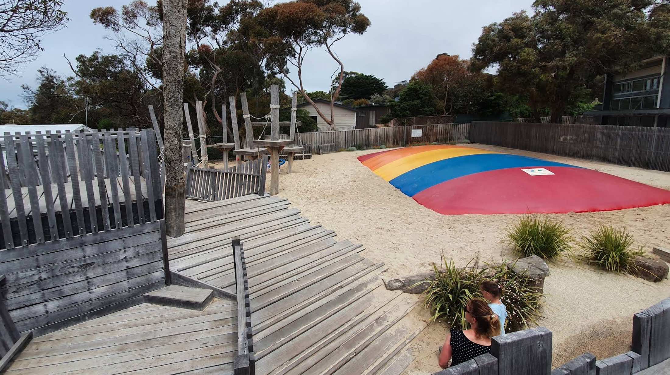
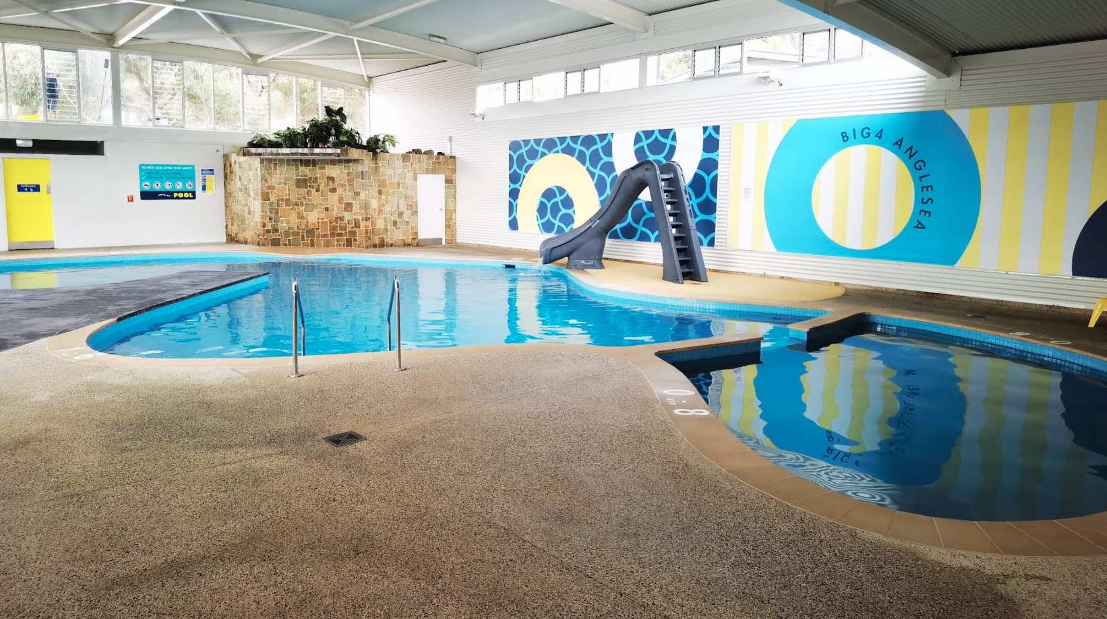
BIG4 Anglesea Holiday Park is a highly rated, family-friendly holiday park situated in Anglesea, a charming surf town on Victoria's iconic Great Ocean Road. The park offers a diverse range of accommodation, from modern self-contained units and glamping sa ...
Read More...
Category
Caravan Parks List
Facilities Available, , , , , , , , , , , , ,
, , , , , , , , , , , , ,
Camping Info
311 Great Ocean Road, Apollo Bay, 3233, Victoria
0 reviews
BIG4 Apollo Bay Pisces Holiday Park is ideally situated on the beachfront along the iconic Great Ocean Road in Apollo Bay, Victoria, Australia. The park offers a range of accommodation options, including modern cabins, glamping tents, and caravan/camping ...
Read More...
Category
Caravan Parks List
Facilities Available, , , , , , ,  , , , , , , ,
, , , , , , , , , , , , , ,
Camping Info
0 reviews
BIG4 Ballarat Windmill Holiday Park
The Ballarat Windmill Holiday Park, part of the BIG4 network, offers a peaceful retreat in a bushland setting on the historic Avenue of Honour.
BIG4 Ballarat Windmill Holiday Park is situated on the historic Avenue of ...
Read More...
Category
Caravan Parks List
Facilities Available, , , , , , , , , , , , , , , ,
, , , , , , , , , , , , , , , ,
Camping Info
1801 Bellarine Highway, Marcus Hill, 3222, Victoria
0 reviews
BIG4 Bellarine Holiday Park: Your Family Fun Getaway on the Bellarine Peninsula
Located on the picturesque Bellarine Peninsula in Victoria, BIG4 Bellarine Holiday Park is a popular destination offering a wide range of accommodation and activities designe ...
Read More...
Category
Caravan Parks List
Facilities Available, , , , , , , , , , , , , , , , ,
, , , , , , , , , , , , , , , , ,
Camping Info
0 reviews
BIG4 Bendigo Marong Holiday Park
Nestled in a peaceful, rural setting in the small town of Marong, just a short drive from the vibrant city of Bendigo, BIG4 Bendigo Marong Holiday Park offers a relaxed and feature-rich holiday experience. This Gold Award ...
Read More...
Category
Caravan Parks List

0 reviews
Bendigo Park Lane Holiday Park
Nestled conveniently on the edge of Bendigo's vibrant city centre, Bendigo Park Lane Holiday Park offers a contemporary and family-friendly retreat, perfect for exploring the rich history and attractions of the Goldfields r ...
Read More...
Category
Caravan Parks List
Facilities Available, , , , , , , , , , , , , , ,
, , , , , , , , , , , , , , ,
Camping Info
1 Doran Avenue, Castlemaine, 3450, Victoria
0 reviews
BIG4 Castlemaine Gardens Holiday Park: Your Goldfields Escape
BIG4 Castlemaine Gardens Holiday Park offers a peaceful and vibrant retreat, perfectly situated adjacent to the magnificent Castlemaine Botanical Gardens in the heart of Victoria's historic Go ...
Read More...
Category
Caravan Parks List
Facilities Available, , , , , , , , , , , , , , , , ,
, , , , , , , , , , , , , , , , ,
Camping Info
370 Frankston-Dandenong Road, Dandenong South, 3175, Victoria
0 reviews
BIG4 Dandenong Tourist Park (formerly Twin Bridge Tourist Park) is strategically located in Dandenong South, offering a convenient base for exploring Melbourne and its surrounding attractions. Situated in green and pleasant surroundings, the park provides ...
Read More...
Category
Caravan Parks List
Facilities Available, , , , , , , , , , , , , , ,
, , , , , , , , , , , , , , ,
Camping Info
170 Whitewood Road, Howard Springs, 0835, Northern Territory
0 reviews
BIG4 Howard Springs Holiday Park
Escape to a tropical oasis at BIG4 Howard Springs Holiday Park, conveniently located just outside Darwin in the Northern Territory. This family-friendly park offers a relaxing and welcoming atmosphere amidst lush gardens, ...
Read More...
Category
Caravan Parks
Facilities Available, , , , , , , , , , , , , ,
, , , , , , , , , , , , , ,
Camping Info
0 reviews
BIG4 Iluka on Freycinet Holiday Park
Nestled under the majestic Hazard Mountain Range, BIG4 Iluka on Freycinet Holiday Park offers a perfect getaway on Tasmania's stunning East Coast. Situated on 10 acres directly opposite Muirs Beach in the charming Col ...
Read More...
Category
Caravan Parks
Facilities Available, , , , , , , , , , , , ,
, , , , , , , , , , , , ,
Camping Info
0 reviews
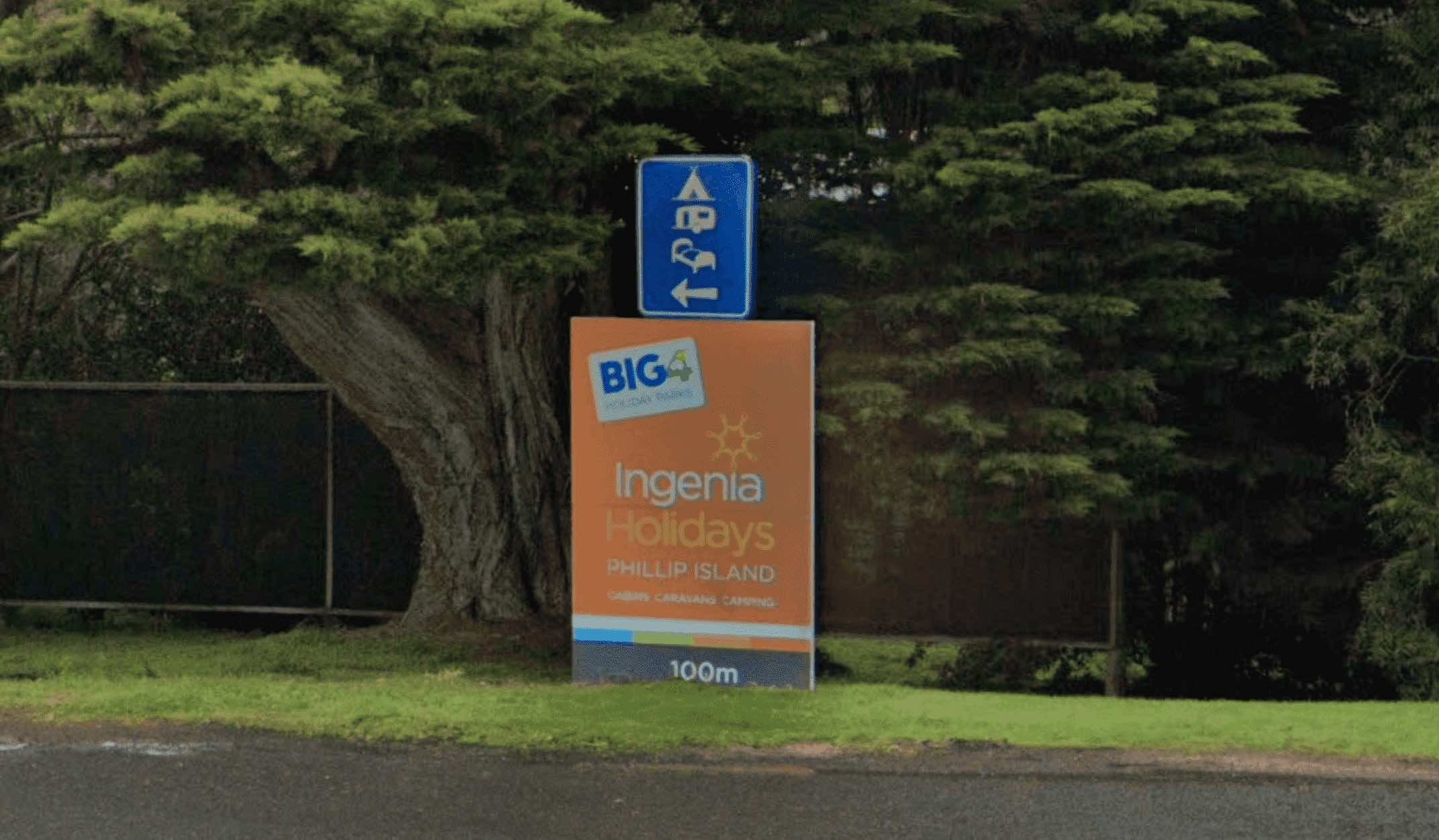
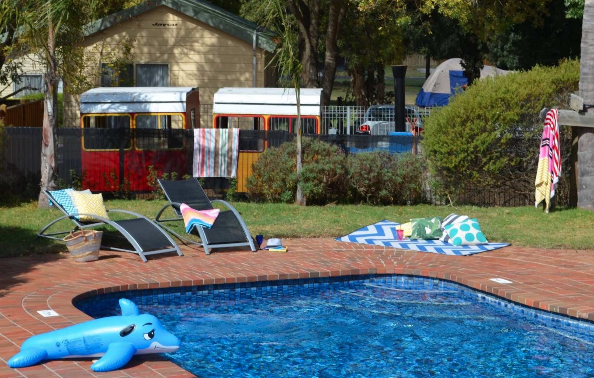
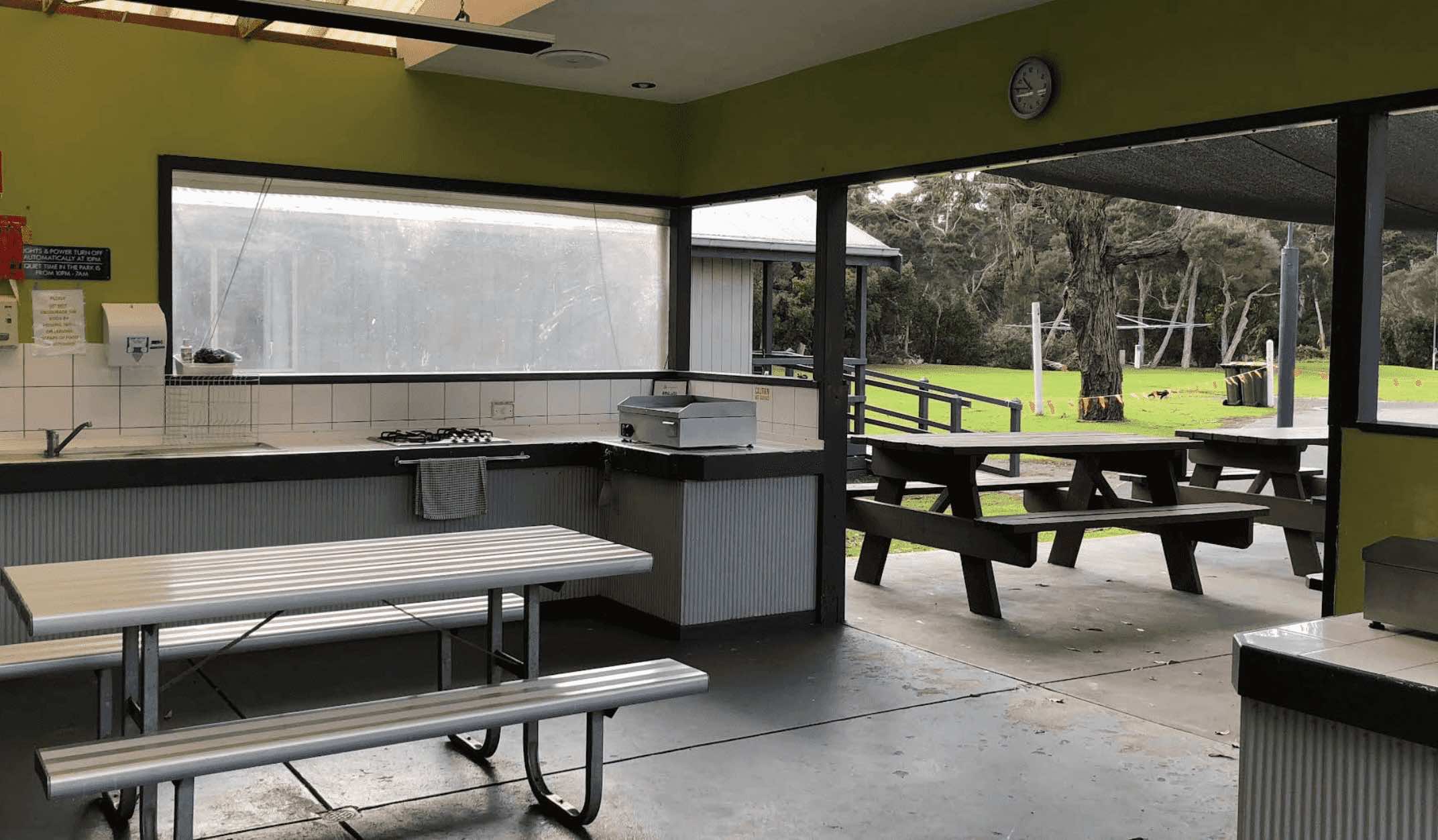
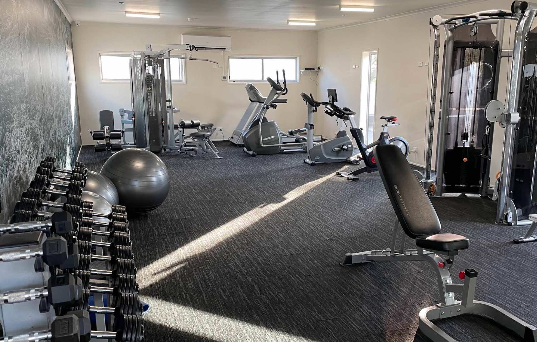
BIG4 Ingenia Holidays Inverloch
Located on Anderson Inlet, BIG4 Ingenia Holidays Inverloch offers a range of accommodations from caravan and camping sites to cabins and luxury villas. It's close to attractions like Phillip Island and Wilson's Promontory ...
Read More...
Category
Caravan Parks List
Facilities Available, , , , , , , , , , , , , , , , ,
, , , , , , , , , , , , , , , , ,
Camping Info
0 reviews
Big4 Ingenia Holidays Phillip Island
If you're lookin' for a cracking spot for a getaway down in Victoria, Ingenia Holidays Phillip Island BIG4 is a ripper choice. Located in Newhaven, it's set right on Newhaven Beach, giving you that absolute beachfro ...
Read More...
Category
Caravan Parks List
Facilities Available, , , , , , , , , , , , ,
, , , , , , , , , , , , ,
Camping Info

78 Bellarine Highway, Queenscliff, 3225, Victoria
0 reviews
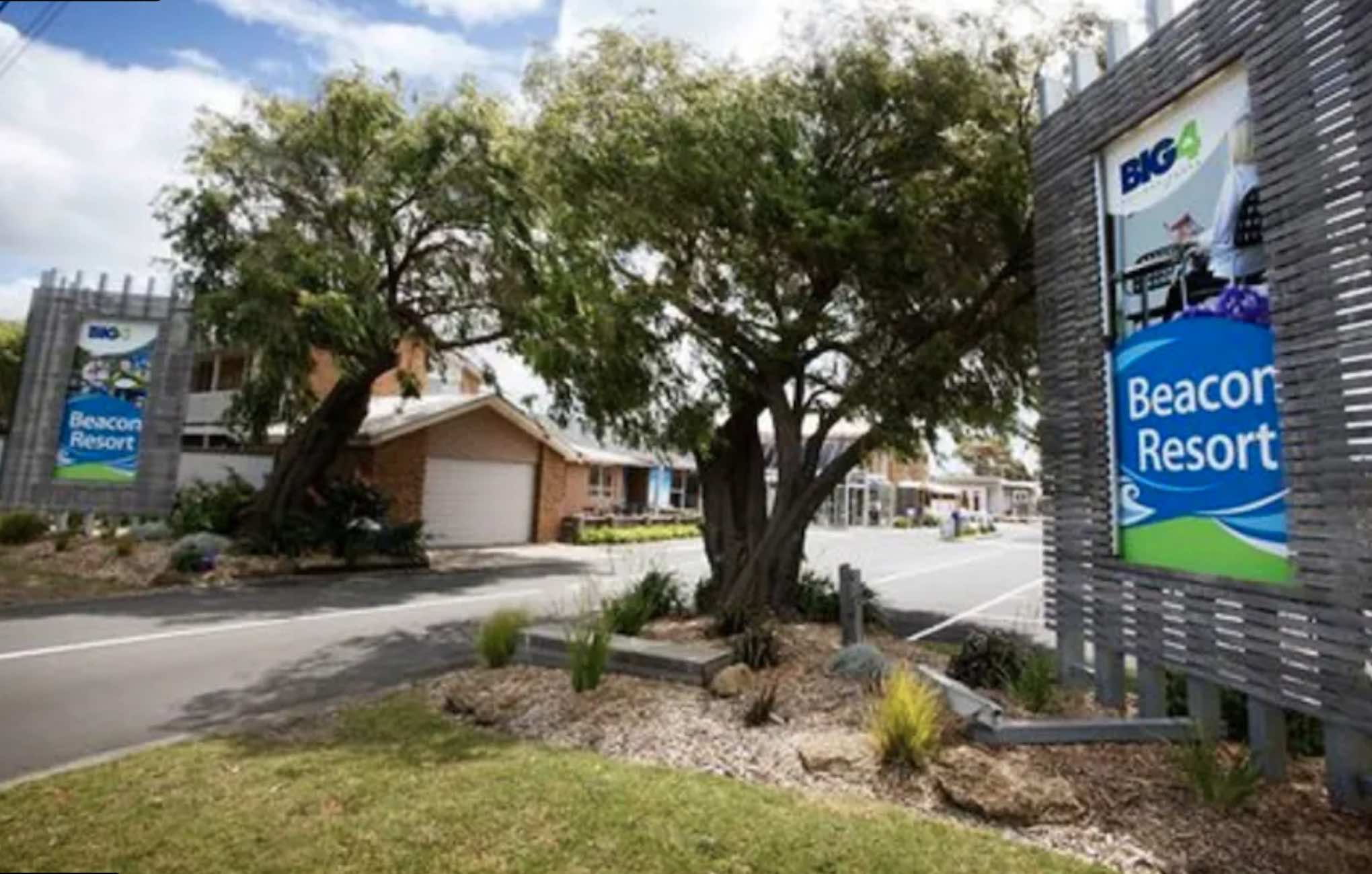
BIG4 Ingenia Holidays Queenscliff Beacon
Experience a blend of luxury and relaxation at BIG4 Ingenia Holidays Queenscliff Beacon, nestled on the picturesque Bellarine Peninsula in Victoria. Less than 90 minutes from Melbourne, this holiday park offers a ...
Read More...
Category
Caravan Parks List
Facilities Available, , , , , , , , , , , , , , , , , , , , ,
, , , , , , , , , , , , , , , , , , , , ,
Camping Info
0 reviews
BIG4 Kelso Sands Holiday & Native Wildlife Park: Your Tasmanian Nature Escape
Kelso, Tasmania - Discover the serene beauty of northern Tasmania at BIG4 Kelso Sands Holiday & Native Wildlife Park. This unique park is nestled at the top of the pict ...
Read More...
Category
Caravan Parks
Facilities Available, , , , , , , , , , , , , , ,
, , , , , , , , , , , , , , ,
Camping Info
0 reviews
BIG4 Kerang Riverfront Holiday Park
BIG4 Kerang Riverfront Holiday Park offers a peaceful and scenic escape right on the banks of the Loddon River in the charming town of Kerang. This well-maintained park is an ideal destination for families, fishing ent ...
Read More...
Category
Caravan Parks List
Facilities Available, , , , , , , , , , , ,
, , , , , , , , , , , ,
Camping Info
86-94 Glen Dhu Street, South Launceston, 7249, Tasmania
0 reviews
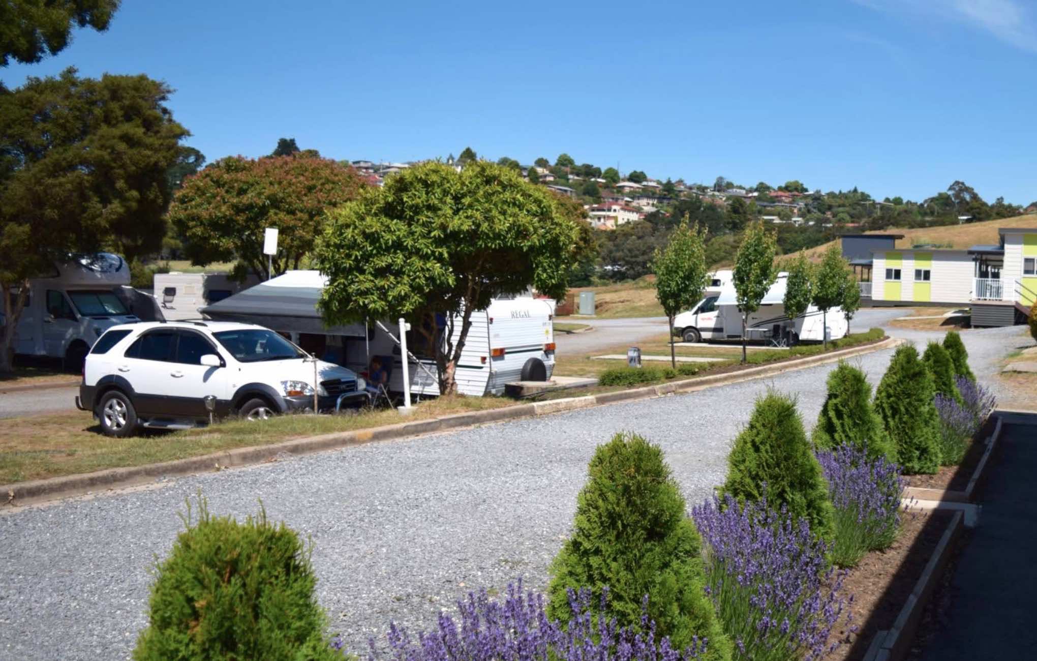
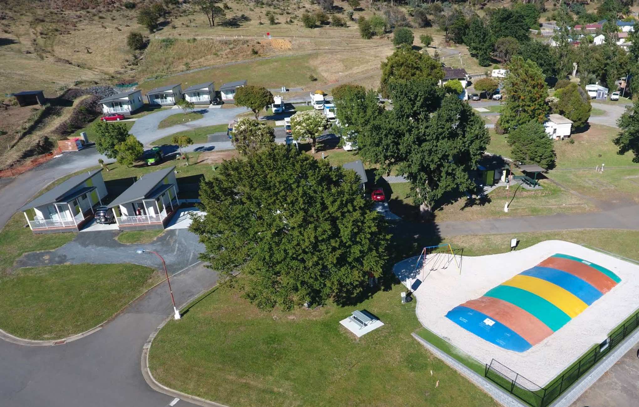
BIG4 Launceston Holiday Park: Your Tasmanian Getaway Details
Launceston, Tasmania - Nestled in a 16-acre elevated setting with stunning views over Launceston city and the Tamar Valley, BIG4 Launceston Holiday Park offers a family-owned and operated retre ...
Read More...
Category
Caravan Parks
Facilities Available, , , , , , , , , , ,
, , , , , , , , , , ,
Camping Info
0 reviews
BIG4 Macdonnell Range Holiday Park
Discover the true essence of the Australian Outback at BIG4 Macdonnell Range Holiday Park, Alice Springs' most awarded tourist park. Situated amidst the stunning and picturesque surrounds of the MacDonnell Ranges, just ...
Read More...
Category
Caravan Parks
Facilities Available, , , , , , , , , , , , , , , , , ,
, , , , , , , , , , , , , , , , , ,
Camping Info
0 reviews
BIG4 Melbourne Holiday Park
Experience a fantastic family getaway at BIG4 Melbourne Holiday Park, a conveniently located oasis just 9 kilometres from Melbourne's bustling CBD. This award-winning park offers a relaxing and friendly retreat with a wide ran ...
Read More...
Category
Caravan Parks List
Facilities Available, , , , , , , , , , , , ,
, , , , , , , , , , , , ,
Camping Info
0 reviews
BIG4 Mildura Getaway Holiday Park
BIG4 Mildura Getaway Holiday Park is an award-winning, family-owned park offering a comfortable and convenient stay in Mildura, Victoria. It's ideally located within a short stroll of a main shopping centre and eateries, ...
Read More...
Category
Caravan Parks List
Facilities Available, , , , , , , , , , ,
, , , , , , , , , , ,
Camping Info

0 reviews
BIG4 Mornington Peninsula Holiday Park - Frankston
Located at the gateway to the stunning Mornington Peninsula, BIG4 Mornington Peninsula Holiday Park in Frankston South offers an ideal base for exploring Melbourne's south-eastern coastline and the vibra ...
Read More...
Category
Caravan Parks List
Facilities Available, , , , , , , , , , , , ,
, , , , , , , , , , , , ,
Camping Info, 
6674 Great Alpine Road, Porepunkah, 3760, Victoria
0 reviews
BIG4 Porepunkah Holiday Park
Nestled at the base of majestic Mount Buffalo and with the tranquil Ovens River flowing at its rear, BIG4 Porepunkah Holiday Park is an idyllic retreat in Victoria's stunning High Country. Just a few minutes' drive from the v ...
Read More...
Category
Caravan Parks List
Facilities Available, , , , , , , , , , , , , , , , , ,
, , , , , , , , , , , , , , , , , ,
Camping Info
115 Princes Highway, Port Fairy, 3284, Victoria
0 reviews
BIG4 Port Fairy Holiday Park
Nestled in the historic coastal town of Port Fairy, at the end of Victoria's iconic Great Ocean Road, BIG4 Port Fairy Holiday Park offers a diverse range of accommodation and extensive facilities for a memorable family holida ...
Read More...
Category
Caravan Parks List
Facilities Available, , , , , , , , , , , , , , , , , ,
, , , , , , , , , , , , , , , , , ,
Camping Info
0 reviews
BIG4 Riverside Swan Hill
BIG4 Riverside Swan Hill is a highly rated holiday park nestled on the tranquil banks of the Little Murray River, just a short stroll from the heart of Swan Hill's vibrant town centre. This family-friendly park offers a serene es ...
Read More...
Category
Caravan Parks List
Facilities Available, , , , , , , , , , , , , , , , , , ,
, , , , , , , , , , , , , , , , , , ,
Camping Info
0 reviews
BIG4 Seymour Holiday Park
BIG4 Seymour Holiday Park offers a peaceful and convenient stay on the banks of the Goulburn River in the heart of Victoria. It provides an ideal base for exploring the Goulburn Valley region, known for its rich history, natural ...
Read More...
Category
Caravan Parks List
Facilities Available, , , , , , , , , , , ,
, , , , , , , , , , , ,
Camping Info
0 reviews
BIG4 Shepparton Park Lane Holiday Park
Experience a relaxing and activity-filled getaway at BIG4 Shepparton Park Lane Holiday Park, perfectly positioned in Kialla, just a short drive from the heart of Shepparton. This popular park offers a tranquil setti ...
Read More...
Category
Caravan Parks List
Facilities Available, , , , , , , , , , , , , ,
, , , , , , , , , , , , , ,
Camping Info
Hutchison Street, Coober Pedy, 5723, South Australia
0 reviews
BIG4 Stuart Range Outback Resort
Nestled amidst the unique landscape of Coober Pedy, the BIG4 Stuart Range Outback Resort offers a refreshing oasis for travellers exploring South Australia's iconic outback. This welcoming resort provides a range of accom ...
Read More...
Category
Caravan Parks
0 reviews
BIG4 Taggerty Holiday Park
Nestled in a serene bush setting on the banks of the Acheron River, BIG4 Taggerty Holiday Park offers a peaceful and adventurous escape in Victoria's High Country. With the majestic Cathedral Ranges as a backdrop, this park is ...
Read More...
Category
Caravan Parks List
Facilities Available, , , , , , , , , , , , , , , , , , , , , , ,
, , , , , , , , , , , , , , , , , , , , , , ,
Camping Info
0 reviews
BIG4 Tasman Holiday Parks - Bright
Nestled in the picturesque town of Bright, in Victoria's spectacular Alpine High Country, BIG4 Tasman Holiday Parks - Bright offers a serene and memorable holiday experience. Situated directly along the banks of the Ove ...
Read More...
Category
Caravan Parks List
Facilities Available, , , , , , , , , , , ,
, , , , , , , , , , , ,
Camping Info
33 Lava Street, Warrnambool, 3280, Victoria
0 reviews
BIG4 Tasman Holiday Parks - Warrnambool
BIG4 Tasman Holiday Parks - Warrnambool is ideally situated in the heart of Warrnambool, offering a central and convenient base for exploring the famous Great Ocean Road and the many attractions of this vibrant coa ...
Read More...
Category
Caravan Parks List
Facilities Available, , , , , , , , , , , , , ,
, , , , , , , , , , , , , ,
Camping Info
0 reviews
BIG4 Tassie Getaway Parks St Helens
BIG4 Tassie Getaway Parks St Helens, formerly BIG4 St Helens Holiday Park, offers a fantastic base for exploring the stunning East Coast of Tasmania. Situated in St Helens, known as the game fishing capital of Tasmania ...
Read More...
Category
Caravan Parks
Facilities Available, , , , , , , , , , , , , , , , , , , ,
, , , , , , , , , , , , , , , , , , , ,
Camping Info
0 reviews
BIG4 Traralgon Park Lane Holiday Park
Nestled in the heart of Gippsland, BIG4 Traralgon Park Lane Holiday Park is a premier holiday destination offering an abundance of activities and a relaxed atmosphere for families and travellers of all ages. Situated ...
Read More...
Category
Caravan Parks List
Facilities Available, , , , , , , , , , , , , ,
, , , , , , , , , , , , , ,
Camping Info
170 Bowser Road, Wangaratta North, 3676, Victoria
0 reviews
BIG4 Wangaratta - North Cedars Holiday Park is a welcoming and family-friendly holiday park situated in Wangaratta, the heart of Victoria's Legends, Wine, and High Country region. Known for its tranquil setting with established trees and well-maintained g ...
Read More...
Category
Caravan Parks List
Facilities Available, , , , , , , , , , , , , , , , ,
, , , , , , , , , , , , , , , , ,
Camping Info
55 Roadknight Street, Lakes Entrance, 3909, Victoria
0 reviews
BIG4 Whiters Holiday Village is a family-friendly holiday park located in the stunning beachside town of Lakes Entrance on Victoria's east coast, where the magnificent Gippsland Lakes meet the ocean. It's a quiet and welcoming park, ideal for families to ...
Read More...
Category
Caravan Parks List
Facilities Available, , , , , , , , , , , , , , , , ,
, , , , , , , , , , , , , , , , ,
Camping Info
0 reviews
BIG4 Wye River Holiday Park
BIG4 Wye River Holiday Park is perfectly situated on the iconic Great Ocean Road, offering a breathtaking beachfront location where the forest meets the sea. With the tranquil Wye River running through the park and the beach d ...
Read More...
Category
Caravan Parks List
419 Don Road, Badger Creek, 3777, Victoria
0 reviews
Nestled in the tranquil bushland of Badger Creek, BIG4 Yarra Valley Park Lane Holiday Park offers a relaxing retreat in the heart of Victoria's renowned Yarra Valley. Surrounded by stunning landscapes and native Australian wildlife, it provides a perfect ...
Read More...
Category
Caravan Parks List
0 reviews
The Bilyana Rest Area has all requirements needed with a rest area it has a public toilet, and undercover picnic tables with a few rubbish bins and room to park your caravan. This rest area can get quiet busy with grey nomads.
Category
Rest Areas
Facilities Available, ,
, ,
Camping Info
90 Manna Gum Dr, Cape Otway, (03) 5237 92463233, Victoria
0 reviews
Bimbi Park - Camping Under Koalas
Bimbi Park offers a truly unique and immersive nature experience, nestled within 4 hectares of magnificent manna gum forest in Cape Otway, the heart of the Great Ocean Road and Great Ocean Walk. This multi-award-winning ...
Read More...
Category
Caravan Parks List
Facilities Available, , , , , , , , , , ,
, , , , , , , , , , ,
Camping Info
0 reviews
At the Binalong Rest Area you can take a swim in the swimming pool, have a BBQ or let the kids play on the playground, perhaps take a stroll along the streets and checkout the neighbourhood.
Category
Rest Areas
Facilities Available, , , , ,
, , , , ,
Camping Info,
Abercrombie Road, Black Springs, 2787, New South Wales
0 reviews
Category
Rest Areas
Facilities Available, , ,
, , ,
Camping Info
0 reviews
Blackwood Mineral Springs Caravan Park
Escape to a timeless bush retreat at Blackwood Mineral Springs Caravan Park, nestled in the tranquil surrounds of Blackwood, Victoria. This pet-friendly park offers a chance to reconnect with nature and family, far ...
Read More...
Category
Caravan Parks List
Facilities Available, , , , , , , , ,
, , , , , , , , ,
Camping Info

0 reviews
The Bluewater creek runs alongside the Bluewater Park Rest Area is a lovely park area with a clean toilet block and dump point, picnic tables plus a playground for the kids, so check it out while your there.
Category
Rest Areas
Facilities Available, , , , , , , ,
, , , , , , , ,
Camping Info,
0 reviews
Visiting Bluff Creek Camping Area during springtime, is a great time to take the walking trail to see the Bluff Falls, there is only 5 suitable spots for caravans.
Category
Free Camping
0 reviews
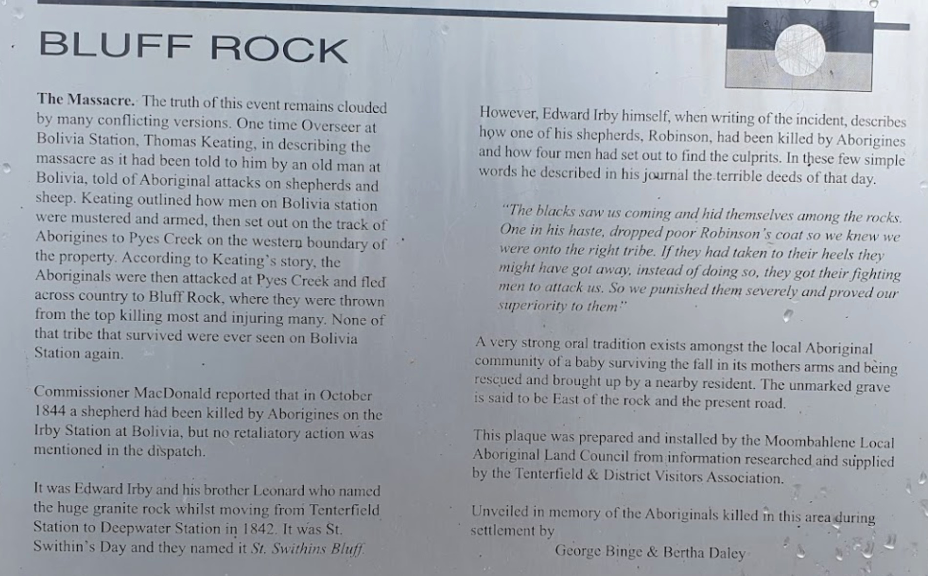
Bluff Rock Lookout is an impressive rock feature with a sad Aboriginal story of a massacre that took place in 1884. There is room to park your caravan, long drop toilets, bbqs, undercover picnic tables and rubbish bins, and a pretty creek with some nice r ...
Read More...
Category
Rest Areas
Facilities Available, , , ,
, , , ,
Camping Info
0 reviews
Bodalla Park Rest Area is an awesome spot, great facilities and close to town, and good for caravans and camper vans. There are also some large flat gravel sites to accommodate large caravans and car, and plenty of nice grassy areas to pitch tents. Long d ...
Read More...
Category
Rest Areas
Facilities Available, , , ,
, , , ,
Camping Info

0 reviews
The Bon Bon Rest Area is set back from the Stuart Hwy this rest stop has a public telephone, toilets, an undercover picnic table, rubbish bins and an emergency supply of drinking water, as with all tank water, its best to boil your water first before drin ...
Read More...
Category
Rest Areas
Facilities Available, ,
, ,
Camping Info
0 reviews
The Bonnie Vale Campground has powered and unpowered sites suitable for tents, trailers, and caravans.Located btw Bundeena and Maianbar at the Royal National Park, Swimming, kayaking and fishing are all perfect in these waters.
Note: This campsite can ge ...
Read More...
Category
Camping Fees Apply
Facilities Available, , , , ,
, , , , ,
Camping Info
0 reviews
If your at the Bookham Park Rest Area has flushing public toilets with wheelchair access, undercover picnic tables and ample shade for travellers to park under. While your here pop over and take a look at the old Church while your in Bookham, It's just ac ...
Read More...
Category
Rest Areas
Facilities Available, ,
, ,
Camping Info

0 reviews
Boomerang Way Tourist Park: Your Peaceful Riverside Retreat in Tocumwal
Boomerang Way Tourist Park offers a tranquil escape on a spacious 12-acre wooded property in Tocumwal, New South Wales. It's an ideal spot for those looking to relax amidst grassy, s ...
Read More...
Category
Caravan Parks List
Facilities Available, , , , , , , , , , ,
, , , , , , , , , , ,
Camping Info

0 reviews
Boort Lakes Holiday Park
Boort Lakes Holiday Park offers a serene and picturesque holiday experience, perfectly situated on the shores of Little Lake Boort in North Central Victoria. This easy-to-find park is an ideal venue for a relaxing getaway, allowi ...
Read More...
Category
Caravan Parks List
Facilities Available, , , , , , , , , , , , , , , , , , ,
, , , , , , , , , , , , , , , , , , ,
Camping Info
0 reviews
Borderland Wodonga Holiday Park
Ideally situated just three kilometres from the heart of Wodonga, Borderland Wodonga Holiday Park offers a convenient and comfortable stopover for travellers journeying between Sydney and Melbourne, or a fantastic base for ...
Read More...
Category
Caravan Parks List
Facilities Available, , , , , , , , , , , , , , , , , , , , ,
, , , , , , , , , , , , , , , , , , , , ,
Camping Info
0 reviews
Boulevard Caravan Park, now known as Breeze Holiday Parks – Eildon, offers a fantastic getaway in the heart of Victoria's stunning Lake Eildon region.
Situated at the gateway to the magnificent Lake Eildon and the surrounding High Country, this park prov ...
Read More...
Category
Caravan Parks List
Facilities Available, , , , , , ,
, , , , , , ,
Camping Info
0 reviews
The Bower Rest Area is located next to tennis courts and town hall. A public toilet is onsite and some tank water.
Category
Camping Fees Apply
Facilities Available, , , ,
, , , ,
Camping Info
96 Evans Road, Bramston Beach, 4871, Queensland
0 reviews
The Bramston Beach Campground is Council Run and Bookings are made direct to the Caretakers. Ph: Caretaker on (07) 4067 4121
Category
Caravan Parks
Facilities Available, , , ,
, , , ,
Camping Info
Henty Highway, Branxholme, 3302, Victoria
0 reviews
The Branxholme Rest Area is an ideal rest area, with excellent shady areas on the highway. The shady parking bay on the highway has been developed as a commemorative area for soldiers lost during World War One. Byaduk is home to the magnificent Byaduk cav ...
Read More...
Category
Rest Areas
Facilities Available, , ,
, , ,
Camping Info
0 reviews
Breakaway Twin Rivers Caravan Park: Your Riverside Getaway in Acheron, Victoria
Nestled in the picturesque valleys of Acheron, Victoria, approximately 1.5 hours from Melbourne, Breakaway Twin Rivers Caravan Park offers a serene escape on the banks of the ...
Read More...
Category
Caravan Parks List
Facilities Available, , , , , , , , , , , , , , ,
, , , , , , , , , , , , , , ,
Camping Info
0 reviews
Breamlea Caravan Park
Nestled in a beautiful bushland setting amongst the gums and tea-trees, Breamlea Caravan Park offers a tranquil coastal getaway between Barwon Heads and Torquay. It's the home of the nearest surf beach to Melbourne, providing a rela ...
Read More...
Category
Caravan Parks List
Facilities Available, , , , , , , , , , ,
, , , , , , , , , , ,
Camping Info
0 reviews
Breeze Holiday Parks – Grampians: Your Gateway to the Grampians National Park
Nestled in a peaceful setting just a few minutes' drive from the centre of Halls Gap, Breeze Holiday Parks – Grampians offers a serene escape amidst the stunning landscapes of ...
Read More...
Category
Caravan Parks List
Facilities Available, , , , , , , , , , , , , , , ,
, , , , , , , , , , , , , , , ,
Camping Info
0 reviews
Breeze Holiday Parks – Halls Gap: Central Charm in the Grampians
Breeze Holiday Parks – Halls Gap offers a unique and convenient holiday experience, being the only park located right in the heart of Halls Gap township, while still backing directly onto ...
Read More...
Category
Caravan Parks List
Facilities Available, , , , , , , , , , , ,
, , , , , , , , , , , ,
Camping Info
9 Park Street, Bridgewater, 3516, Victoria
0 reviews
Bridgewater Caravan Park
Bridgewater Caravan Park offers a welcoming and relaxing escape in the heart of Bridgewater-on-Loddon, Victoria. Situated front row to the scenic Loddon River, it provides a tranquil base for exploring the Loddon Valley region, p ...
Read More...
Category
Caravan Parks List
Facilities Available, , , , , , , , , , , , , , ,
, , , , , , , , , , , , , , ,
Camping Info
Brougham Street, Bridgewater On Loddon, 3516, Victoria
0 reviews
The Bridgewater on Loddon Rest Area has a public toilet, and plenty of room to park your camping rigs. When reasonable water levels flow, the Mill Rapid downstream of the Calder Hwy bridge provides technical whitewater kayaking of Grade 3 standard featuri ...
Read More...
Category
Rest Areas
Facilities Available, , ,
, , ,
Camping Info
0 reviews
Bright Accommodation Park
Bright Accommodation Park offers a serene and adventurous escape in the heart of Victoria's Alpine High Country. Set on 8.5 acres of bushland at the base of Mystic Mountain, it's the closest park to Mystic MTB Park and Mystic Fl ...
Read More...
Category
Caravan Parks List
Facilities Available, , , , , , , , , , , , , , ,
, , , , , , , , , , , , , , ,
Camping Info
0 reviews
Bright Riverside Holiday Park
Bright Riverside Holiday Park offers an idyllic and serene getaway in the heart of Bright, Victoria's stunning Alpine High Country. Boasting an unbeatable location right on the banks of the beautiful Ovens River, and just a ...
Read More...
Category
Caravan Parks List
Facilities Available, , , , , , , , , ,
, , , , , , , , , ,
Camping Info
100 Quinn Road, Broken Creek, 3673, Victoria
0 reviews
Category
Camping Fees Apply
Facilities Available, , , , , , , ,
, , , , , , , ,
Camping Info
0 reviews
Browns Flat Rest Area Southbound with plenty of parking for both light and heavy vehicles. There are flushing public toilets with wheelchair access, covered picnic tables and rubbish bins. The stop is a large area with plenty of room for large caravans mo ...
Read More...
Category
Rest Areas
Facilities Available, , ,
, , ,
Camping Info
0 reviews
The Bulla Park Rest Area has plenty of room to park your caravan with some small trees for shade. There is an undercover picnic table, wood fired bbq facilities and rubbish bins. This is a located in a desolate countryside, don't wander too far away from ...
Read More...
Category
Rest Areas
Facilities Available, , ,
, , ,
Camping Info
0 reviews
Bunyip Recreation Reserve is located close to the centre of Bunyip, Victoria, offering a convenient and accessible camping option for travellers. The reserve is a community hub that hosts various local events, including shows and rodeos, and provides camp ...
Read More...
Category
Camping Fees Apply
Facilities Available, , , , ,
, , , , ,
Camping Info , ,
, ,
LOT 146 Parkes Street, Burracoppin, 6421, Western Australia
0 reviews
The Burracoppin Centenary Park has flushing public toilets, some shade trees, undercover picnic tables, bbqs, water taps and just across from the Tavern where you can grab a cold drink to help wash away the dust. This park is on the corner of Great Easter ...
Read More...
Category
Rest Areas
Facilities Available, , , , ,
, , , , ,
Camping Info
Kamilaroi Highway, Burren Junction, 2386, New South Wales
0 reviews
Burren Junction Baths Reserve Camping Area has plenty of room to park your caravan at this is an Iconic mineral bath. There are public toilets and showers, picnic tables and rubbish bins, plus the council ranger collects camping fees daily.
Category
Rest Areas
Facilities Available, , , ,
, , , ,
Camping Info
68 Sturt Highway, Cullulleraine, 3496, Victoria
0 reviews
Bushman's Rest Caravan Park: A Lakeside Oasis in the Mallee
Bushman's Rest Caravan Park offers a beautiful, tranquil, and shady setting on the foreshore of Lake Cullulleraine, making it a perfect stop and relaxing stay in the Mallee region of Victoria. L ...
Read More...
Category
Caravan Parks List
Facilities Available, , , , , , , , ,
, , , , , , , , ,
Camping Info
Rollingstone Street, Rollingstone, 4816, Queensland
0 reviews
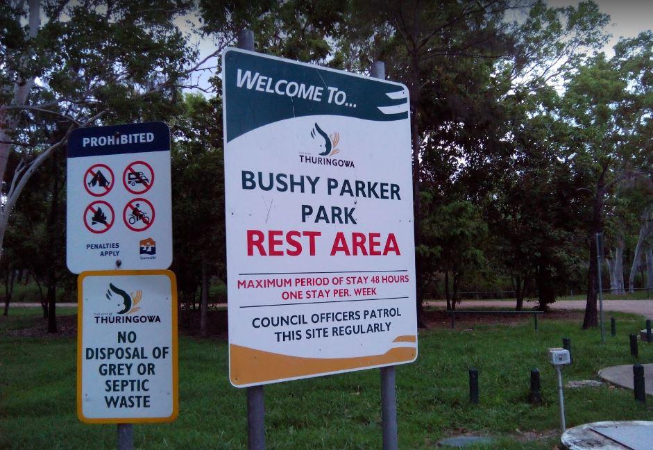
The Bushy Parker Park Rest Area has flushing public toilets and a blackwater dump point, water taps connected to town water, picnic tables, bbqs next to a beautiful creek. The local store and police station are just down the road. Understandably this is a ...
Read More...
Category
Free Camping
Facilities Available, , , , , , ,
, , , , , , ,
Camping Info, ,

0 reviews
Calder Tourist Park: Your Convenient Mildura Stay
Calder Tourist Park, a well-regarded member of the Top Tourist (Top Parks) network, offers a neat, tidy, and welcoming stay in the heart of Mildura, Victoria. Situated on Fifteenth Street, it boasts a pri ...
Read More...
Category
Caravan Parks List
Facilities Available, , , , , , , , ,
, , , , , , , , ,
Camping Info

0 reviews
At the Caltigeena Rest Area you can haul your rig in here and take a break from driving in the heat. There is no shade to speak of, but the picnic table is under cover, and plenty of space to park.
Category
Rest Areas
Facilities Available, ,
, ,
Camping Info
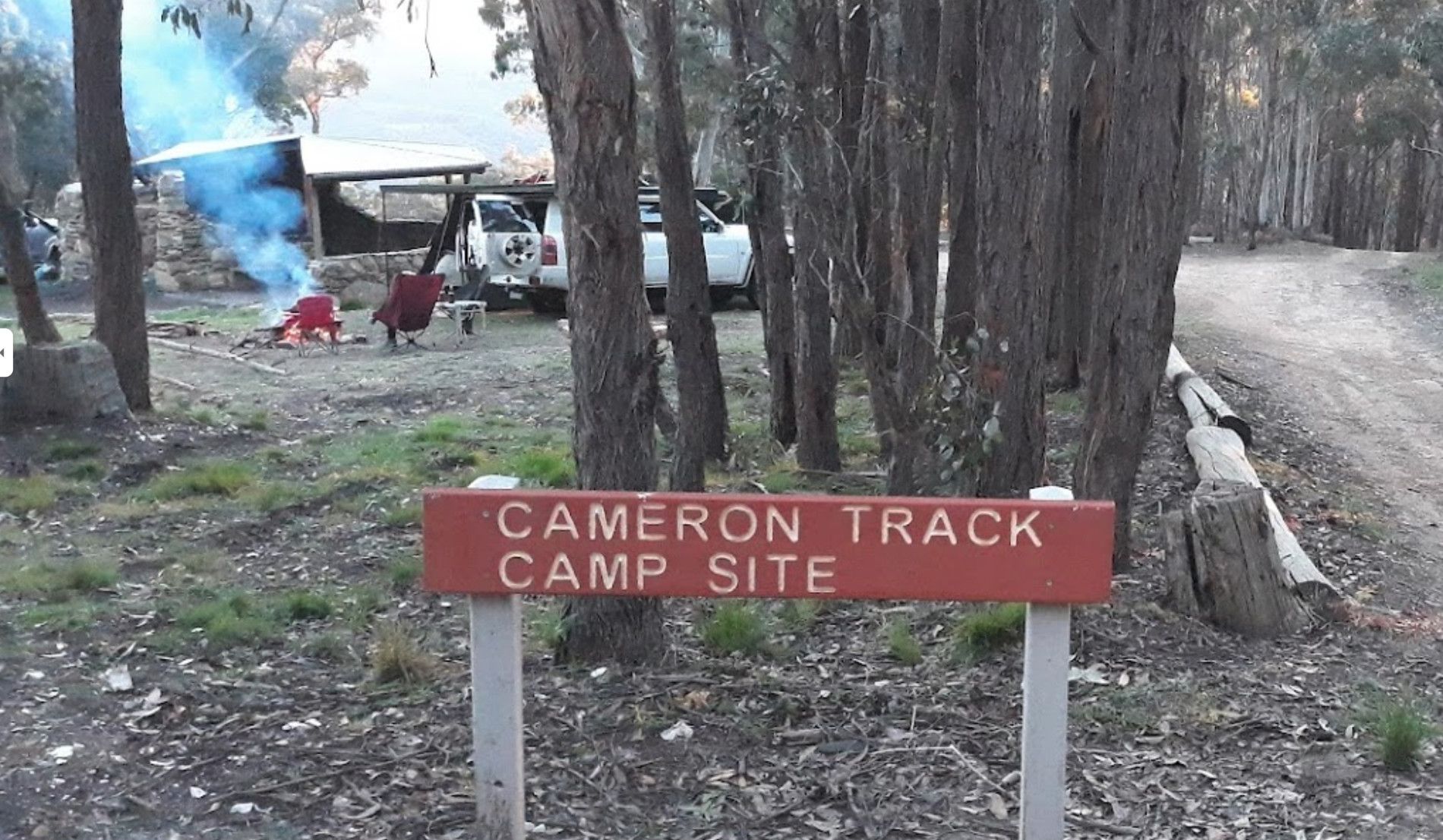
Cameron Track, Warrenmang, 3478, Victoria
0 reviews
Cameron Track Camping Area is a good place to get your Hiking Boots on, and tackle a few of the walks, don't forget to take your camera with you.
Category
Free Camping
Facilities Available, ,
, ,
Camping Info
0 reviews
Water is limited at the Campaspe River Rest Area, the river runs at trickle in the river most times, and it's worth the time to walk over and take a peek. This location is quite a popular rest area, so expect company if you decide to stay overnight.
Category
Rest Areas
Facilities Available, , , ,
, , , ,
Camping Info, , 
0 reviews
Canberra Park Gungahlin - Modern Gateway to the Capital
Canberra Park, located at 26 Old Well Station Road in Gungahlin, stands as one of the newest and most purpose-built accommodation precincts in the Australian Capital Territory. Strategically p ...
Read More...
Category
Caravan Parks
Facilities Available, , , , ,
, , , , ,
Camping Info
0 reviews
Cania Gorge Tourist Retreat do not permit Portable Generators to be used in the Park.
Category
Caravan Parks
Facilities Available, , , , , , , ,
, , , , , , , ,
Camping Info
7536 Princes Highway, Cann River, 3890, Victoria
0 reviews
Cann River Rainforest Caravan Park: A Free Stopover in the Wilderness
Cann River Rainforest Caravan Park, also known as Cann River Rainforest Campground, offers a tranquil and free stopover for travellers. Nestled on the banks of the Cann River, right on ...
Read More...
Category
Caravan Parks List
Facilities Available, , , ,
, , , ,
Camping Info,
0 reviews
The Carcoar Dam Water Reserve Camping Area has onsite power is supplied for Hair dryers and Shavers the outlets are in the Amenities Block.
Note: The available showers are not heated, so be forewarned if you intend to have a shower in the middle of winte ...
Read More...
Category
Free Camping
Facilities Available, , , ,
, , , ,
Camping Info
0 reviews
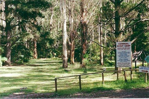
Caringal Scout Camp - Tanjil Tyers State Forest Located 29kms NE Moe or 2kms south of Erica, 7km dirt road.This camp is surrounded by natural bush and is set on the Tyers River.Open to the public year round for camping and day access.Note: A small fee app ...
Read More...
Category
Camping Fees Apply
Facilities Available, ,
, ,
Camping Info
0 reviews
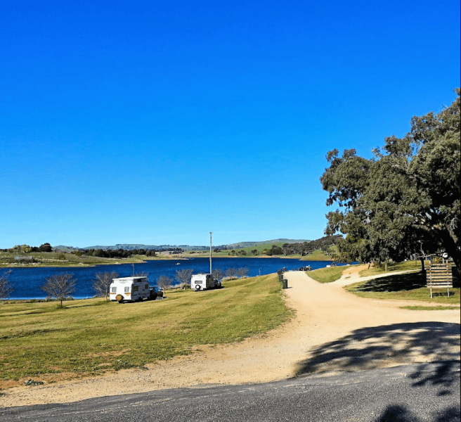
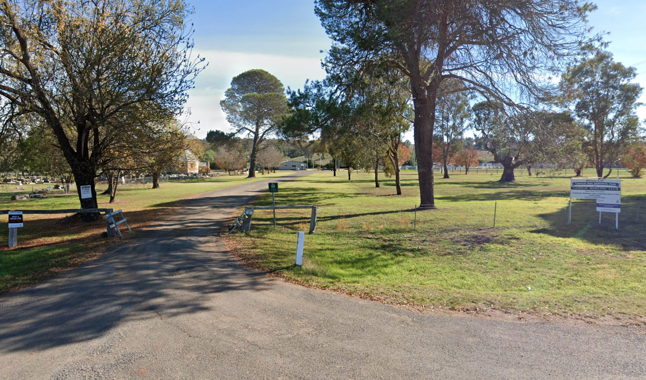
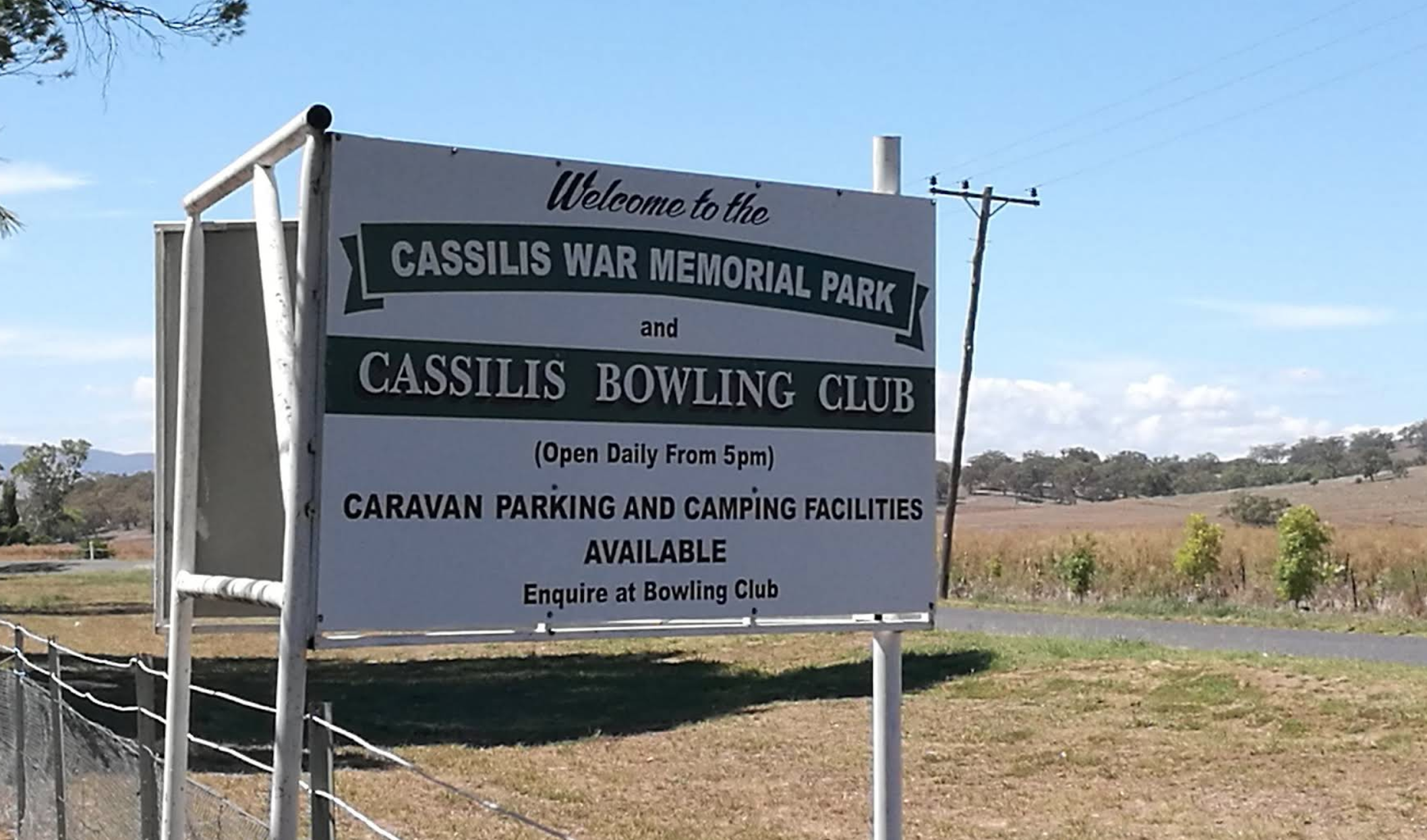
The Cassilis War Memorial Park Camping Area, located in Cassilis, New South Wales, offers camping facilities for travellers. It's a convenient spot to stop and explore the local area.
The most reliable method to confirm the current price for powered site ...
Read More...
Category
Camping Fees Apply
Facilities Available, , , , ,
, , , , ,
Camping Info,
0 reviews
Casuarina Sands Reserve ACT - Premier River Swimming & Picnics
Situated on the banks of the mighty Murrumbidgee River, Casuarina Sands Reserve stands as one of the Australian Capital Territory's most beloved riverside destinations. Located just ...
Read More...
Category
Rest Areas
0 reviews
Cavendish Recreation Reserve Camping is a picturesque campground situated on the banks of the Wannon River in the small rural township of Cavendish, Victoria. Located within the Southern Grampians Shire, it offers a relaxed camping experience surrounded b ...
Read More...
Category
Camping Fees Apply

0 reviews
The Ceratodus Rest Area is on the banks of the Burnett River, There is a railway building that has been moved onsite, undercover picnic tables and rubbish bins, so you can refresh oneself, ready for the next destination.
Category
Rest Areas
Facilities Available, ,
, ,
Camping Info,
0 reviews
Charlton Gordon Park has the Avocca River running alongside the park area To camp here your rig must have it's own toilet facilities, as you cannot use the park amenities.
Category
Camping Fees Apply
0 reviews
Chiltern Park Rest Area has a short walk to some historic Gold diggings and an undercover bbq, picnic tables and public toilet, with plenty of room to park your caravan.
Category
Rest Areas
Facilities Available, , , ,
, , , ,
Camping Info
0 reviews
If stopping at the Chowne VC Memorial Rest Area it's worth your time to read as to whom this site is named after, and understand how a brave man died for his country. This rest spot has a public toilet, tank water, some undercover picnic tables and a few ...
Read More...
Category
Rest Areas
Facilities Available, ,
, ,
Camping Info

0 reviews
Clearwater By The Upper Murray Caravan Park: Your Serene Riverside Escape
Clearwater By The Upper Murray Caravan Park offers an idyllic and peaceful setting for relaxation or outdoor adventure, situated directly opposite the magnificent Murray River in ...
Read More...
Category
Caravan Parks List
Facilities Available, , , ,  , , ,
, , ,
, , , , , , ,
Camping Info,

0 reviews
Clunes Caravan Park: A Peaceful Retreat in Australia's First Booktown
Clunes Caravan Park offers a small, quiet, and friendly escape, ideally situated in the heart of the historic town of Clunes, Victoria. Located at 17 Purcell Street, the park is nestle ...
Read More...
Category
Caravan Parks List
Facilities Available, , , , , , , , , , ,
, , , , , , , , , , ,
Camping Info
0 reviews
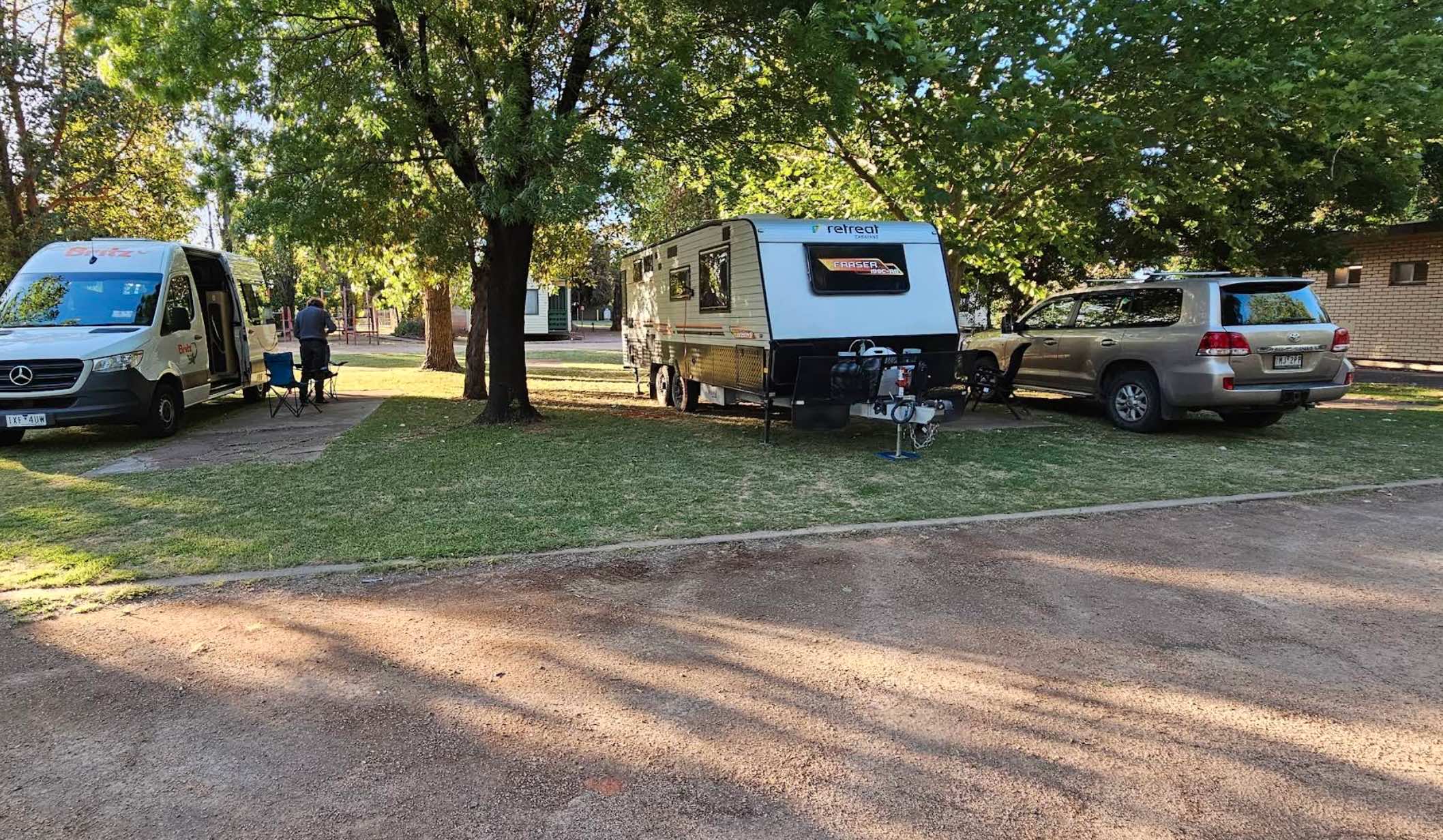
Coachman Tourist Park: Your Relaxing Stay in Irymple
Coachman Tourist Park offers a welcoming and convenient stay in Irymple, Victoria, located on the Calder Highway and just a short drive from Mildura. Situated in a grape and citrus-growing area, the pa ...
Read More...
Category
Caravan Parks List
Facilities Available, , , , , , , , , , ,
, , , , , , , , , , ,
Camping Info
0 reviews
Cobram Oasis Tourist Park: Your Peaceful Retreat on the Murray
Cobram Oasis Tourist Park offers a friendly and serene holiday experience, perfectly situated in the sunniest inland town of Victoria, Cobram. This award-winning park, part of the G'day Parks ...
Read More...
Category
Caravan Parks List
Facilities Available, , , , , , , , , , , , , , ,
, , , , , , , , , , , , , , ,
Camping Info
0 reviews
Cobram Willows Caravan Park
Cobram Willows Caravan Park offers a clean and peaceful retreat on the outskirts of Cobram, a vibrant town on the Murray River. Set on 8 acres of land shaded by mature Poplar trees, the park provides a relaxing atmosphere for ...
Read More...
Category
Caravan Parks List
Facilities Available, , , , , , , , , , , , ,
, , , , , , , , , , , , ,
Camping Info
0 reviews
Cohuna Waterfront Holiday Park
Discover the tranquility of Cohuna Waterfront Holiday Park, perfectly positioned on the scenic banks of Gunbower Creek, an anabranch of the mighty Murray River. This holiday park offers a relaxing escape in a beautiful natu ...
Read More...
Category
Caravan Parks List
Facilities Available, , , , , , , , , , , , , , , , , , ,
, , , , , , , , , , , , , , , , , , ,
Camping Info
0 reviews
Colac Central Showground Caravan Park, managed by the Colac & District P & A Society, offers a peaceful camping experience situated in a quiet corner of the Colac showgrounds. Located with easy access from the Princes Highway and within walking di ...
Read More...
Category
Camping Fees Apply
Facilities Available, , , , , , , , ,
, , , , , , , , ,
Camping Info, ,
1994 Murray Valley Highway, Colac Colac, 3707, Victoria
0 reviews
Colac Colac Caravan Park
Nestled in the picturesque Upper Murray region of Victoria, Colac Colac Caravan Park (affectionately known as "Clack Clack" by locals) offers a tranquil and scenic escape. Situated just 6 kilometres from the town of Corryong, thi ...
Read More...
Category
Caravan Parks List
Facilities Available, , , , , , , , , , , , , , , ,
, , , , , , , , , , , , , , , ,
Camping Info
177 Bonnyvale Road, Ocean Grove, 3226, Victoria
0 reviews
Collendina Caravan Park
Unplug, unwind, and embrace the quintessential coastal charm of Collendina Caravan Park, your all-season retreat on Victoria's stunning Bellarine Peninsula. Located in Ocean Grove, just 90 minutes from Melbourne, this park offers ...
Read More...
Category
Caravan Parks List
Facilities Available, , , , , , , , , , , , , , , ,
, , , , , , , , , , , , , , , ,
Camping Info
0 reviews
Conara Roadside Park Rest Area why not pop in and take a short break, walk down to the main town for a bit of exercise, pass 33 or so houses, and you’ve seen it all. And the Railway Station.
Category
Rest Areas
Facilities Available, , ,
, , ,
Camping Info,
0 reviews
Coo-Ee March Memorial Park is a good rest stop option along the Newell Highway. Some shady trees, covered picnic tables and benches and public toilet and rubbish bins, next to the historical society building.
Category
Rest Areas
Facilities Available, , , ,
, , , ,
Camping Info
0 reviews
Cooee Point Reserve toilets are a real ramshackle affair, well worth taking the camera just to show your friends how you had to rough it while camping.
Category
Free Camping
Facilities Available, , , ,
, , , ,
Camping Info,
The Coonalpyn Soldiers Memorial Caravan Park is an older style park, but everything thing you need is available here, and very reasonably priced.
Category
Caravan Parks
Votes1
Facilities Available, , , , , , ,
, , , , , , ,
Camping Info
Lot 1 Comaum School Road, Coonawarra, 5277, South Australia
0 reviews
Category
Caravan Parks
Facilities Available, , , , , , ,
, , , , , , ,
Camping Info

0 reviews
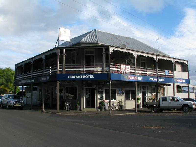
The Coraki Riverside Caravan Park is close to shops and right on the Richmond river. Great for bike rides, fishing, kayaking, boats etc. There is also an off leash dog area The Coraki Art Festival - October each year
Category
Caravan Parks
Facilities Available, , , , , ,
, , , , , ,
Camping Info
0 reviews
Corindhap Recreation Reserve, situated on a former football ground in the rural village of Corindhap, Victoria, offers a simple and peaceful camping experience managed by the generous local community. Located in a historic goldfields area, it provides a q ...
Read More...
Category
Camping Fees Apply
Facilities Available, , , ,
, , , ,
Camping Info, , ,
0 reviews
Discover Cotter Campground: The Jewel of the ACT
Located on the picturesque banks of the Cotter River, Cotter Campground in Stromlo is widely regarded as the most highly serviced bush campground in the Australian Capital Territory. Just a short drive f ...
Read More...
Category
Camping Fees Apply
Facilities Available, , , , , ,
, , , , , ,
Camping Info
20049 Bass Highway, Crayfish Creek, 7321, Tasmania
0 reviews
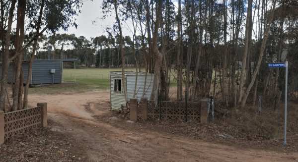
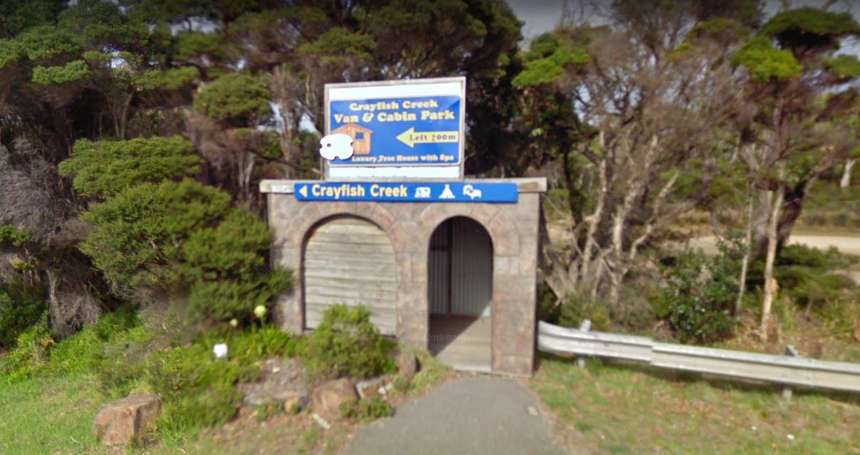
The Crayfish Creek Van and Cabin Park has good facilities and they have an after hour phone number available plus an on site manager 24 hours a day.
Category
Caravan Parks
Facilities Available, , , , , , , , ,
, , , , , , , , ,
Camping Info
0 reviews
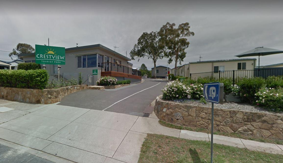
Crestview Tourist Park - Gateway to Canberra & Snowy Mountains
Situated in the quiet suburb of Karabar within the Queanbeyan region, Crestview Tourist Park offers a serene and picturesque base for exploring the Australian Capital Territory and ...
Read More...
Category
Caravan Parks
Facilities Available, , , , , , , ,
, , , , , , , ,
Camping Info,
0 reviews
Creswick Holiday Park
Nestled in the heart of the Goldfields region, Creswick Holiday Park offers a peaceful and natural escape just a short drive from Ballarat. Surrounded by native bushland and bordered by the tranquil Creswick Creek, this park provide ...
Read More...
Category
Caravan Parks List
Facilities Available, , , , , , , , , , , , ,
, , , , , , , , , , , , ,
Camping Info

182 Heidelberg-Warrandyte Road, Doncaster East, 3109, Victoria
0 reviews
Crystal Brook Tourist Park (Melbourne, Victoria)
Crystal Brook Tourist Park offers a convenient city park experience with a tranquil bushland atmosphere, set amongst native wildlife. It's an ideal base for exploring Melbourne and the surrounding regions. ...
Read More...
Category
Caravan Parks List
Facilities Available, , , , , , , , , , , , , ,
, , , , , , , , , , , , , ,
Camping Info
3021 Ballan-Daylesford Road, Daylesford, 3460, Victoria
0 reviews
Daylesford Holiday Park
Daylesford Holiday Park offers a tranquil escape in the heart of Victoria's spa country. Surrounded by lush greenery, it provides a range of accommodations, including powered and unpowered sites suitable for caravans, motorhomes, ...
Read More...
Category
Caravan Parks List
Facilities Available, , , , , , , , , , , , , ,
, , , , , , , , , , , , , ,
Camping Info
Depot Beach Road, Depot Beach, 2536, New South Wales
0 reviews
Category
Caravan Parks
Facilities Available, , , ,
, , , ,
Camping Info
0 reviews
The Derby Park is set well back from the main road, with a river right next to your spot you have pulled over at. If you have a bike with you, ride over to Briseis Lake
Category
Rest Areas
Facilities Available, , , , , , ,
, , , , , , ,
Camping Info
Derrick VC Rest Area, Hume Highway, Boxers Creek, 2580, New South Wales
0 reviews
While stopping at the Derrick VC Rest Area, is a good place for rest with trees for shade, public toilets with hand wash basin, undercover picnic tables, rubbish bins and tank water. Take a look at the Towrang Bridge, it's a Convict built bridge from a by ...
Read More...
Category
Rest Areas
Facilities Available, , , ,
, , , ,
Camping Info
0 reviews
Discovery Parks - Bright
Discovery Parks - Bright offers a picturesque and family-friendly retreat nestled on 12 acres along the banks of the beautiful Ovens River, with breathtaking views of Mount Feathertop. Located just a short drive from the vibrant ...
Read More...
Category
Caravan Parks List
Facilities Available, , , , , , , , , , , , , , , ,
, , , , , , , , , , , , , , , ,
Camping Info
0 reviews
Discovery Parks - Echuca
Discovery Parks - Echuca, formerly Yarraby Holiday Park, offers resort-style accommodation on the banks of the mighty Murray River. It's a fantastic choice for families and those looking to explore the rich history and natural be ...
Read More...
Category
Caravan Parks List
Facilities Available, , , , , , , , , , , , , , , , , , ,
, , , , , , , , , , , , , , , , , , ,
Camping Info
0 reviews
Discovery Parks - Geelong
Discovery Parks - Geelong offers a fantastic holiday experience nestled alongside the picturesque Barwon River, just minutes from Geelong's vibrant city centre. This park serves as an ideal base for exploring the diverse attract ...
Read More...
Category
Caravan Parks List
Facilities Available, , , , , , , , , , , , , , , , , ,
, , , , , , , , , , , , , , , , , ,
Camping Info
0 reviews
Discovery Parks - Lake Hume, Victoria
Nestled on the picturesque shores of Lake Hume, Discovery Parks - Lake Hume, Victoria (formerly Boathaven Holiday Park) offers a resort-style holiday experience perfect for families, couples, and groups. Just over th ...
Read More...
Category
Caravan Parks List
Facilities Available, , , , , , , , , , , , , , ,
, , , , , , , , , , , , , , ,
Camping Info
0 reviews
Discovery Parks - Maidens Inn, Moama
Discovery Parks - Maidens Inn, Moama, is a premier holiday park ideally located on the banks of the mighty Murray River in Moama, New South Wales, the twin town to Echuca in Victoria. Just a convenient three-hour driv ...
Read More...
Category
Caravan Parks List
0 reviews
Discovery Parks - Moama West is nestled on 10.5 hectares of natural bushland and gardens, adjoining the magnificent Murray River. Just a short drive from the historic twin towns of Echuca-Moama, this park offers a serene and picturesque escape, where you ...
Read More...
Category
Caravan Parks List
Facilities Available, , , , , , , , , , , , , , , , , , ,
, , , , , , , , , , , , , , , , , , ,
Camping Info
0 reviews
The Domblegabby Rest Area, has a fairly level gravel surface to park your caravan. There is a large undercover area and a few shade trees, and lots of rubbish bins. There is tank water here, so make sure you boil the water before drinking it.
Category
Rest Areas
Facilities Available, , ,
, , ,
Camping Info
0 reviews
Donald Lakeside Caravan Park (Donald, Victoria)
Donald Lakeside Caravan Park offers a peaceful and well-maintained setting right on the shores of Foletti Lake, providing a beautiful backdrop for your stay. It's conveniently located within walking distanc ...
Read More...
Category
Caravan Parks List
Facilities Available, , , , , , , , , ,
, , , , , , , , , ,
Camping Info

200 Doon Road, Yarra Junction, 3797, Victoria
0 reviews
Doon Reserve Caravan Park (Yarra Junction, Victoria)
Doon Reserve Caravan Park is a delightful spot nestled on the banks of the Yarra River in Yarra Junction, offering a serene bush setting within the beautiful Yarra Valley. It provides a relaxing escape ...
Read More...
Category
Caravan Parks List
Facilities Available, , , , , , , , , , , , ,
, , , , , , , , , , , , ,
Camping Info
0 reviews
The Duaringa Campgrounds is a popular spot with very good amenities provided by the local council. You should pop a donation at the visitors centre, to help offset the cost of running the hot showers and free drinking water.
Category
Free Camping
Facilities Available, , , , , ,
, , , , , ,
Camping Info,
0 reviews
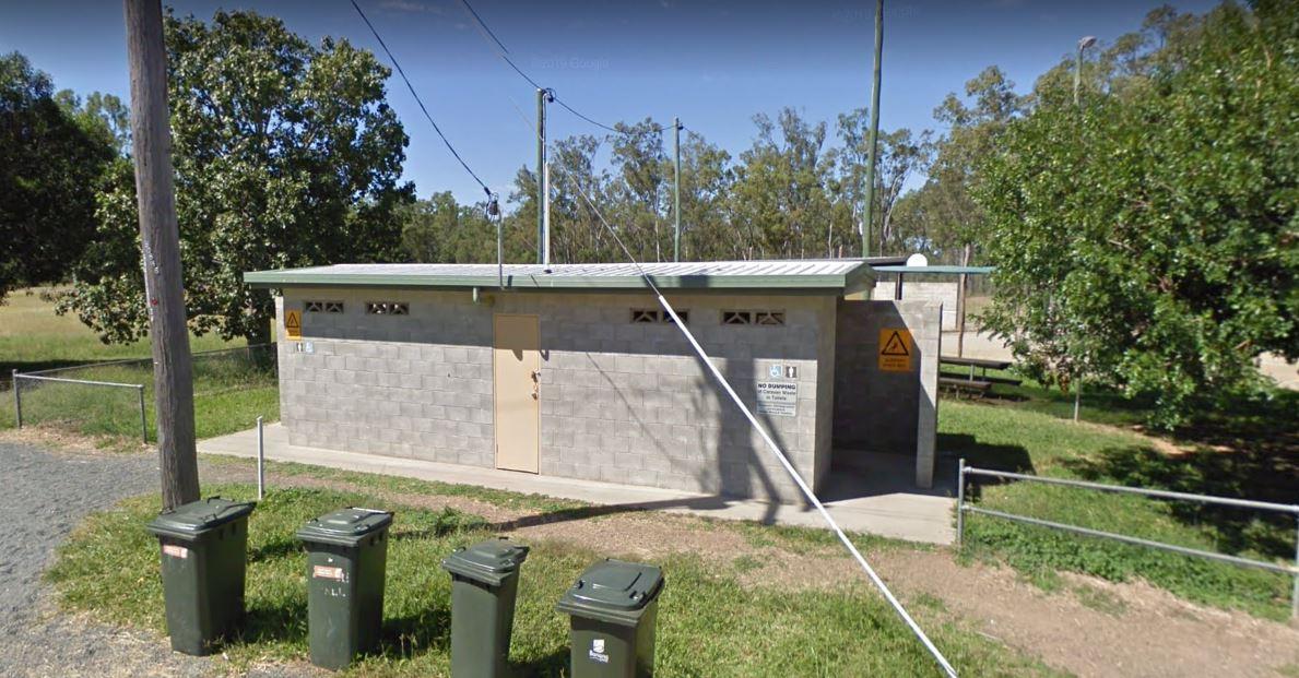
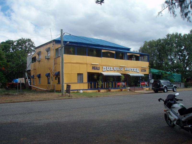
If your stopping at the Dululu Rest Area pop in to the Dululu Hotel for showers and power if needed, walk over to the Dee River and cast a line in to try and catch lunch.
Category
Rest Areas
Facilities Available, , , , , ,
, , , , , ,
Camping Info,

0 reviews
Dunolly Caravan Park (Dunolly, Victoria)
Dunolly Caravan Park offers a serene lakeside setting perfect for a relaxing getaway in the heart of Victoria's historic goldfields. It's conveniently located on a small lake and within walking distance of the mai ...
Read More...
Category
Caravan Parks List
Facilities Available, , , , , , ,
, , , , , , ,
Camping Info

5 Mercer Street, Portarlington, 3223, Victoria
0 reviews
Dylene Holiday Park Portarlington (Portarlington, Victoria)
Dylene Holiday Park offers a fantastic holiday experience perched on Half Moon Bay, just a short stroll from the beach in picturesque Portarlington. It's an ideal base to explore the stunning Be ...
Read More...
Category
Caravan Parks List
Facilities Available, , , , , , , , , , , , , , , ,
, , , , , , , , , , , , , , , ,
Camping Info


School Road, Eagle Point, 3878, Victoria
Eagle Point Caravan Park
Nestled on the tranquil shores of Lake King, a central hub of the vast Gippsland Lakes system, Eagle Point Caravan Park offers a relaxed and family-friendly escape in Victoria's picturesque East Gippsland region. Named after the ...
Read More...
Category
Caravan Parks List
Votes1
Facilities Available, , , , , , , , , , , , , ,
, , , , , , , , , , , , , ,
Camping Info
0 reviews
This is an older style caravan park, offers some of the cheapest accommodation options in the region, and is only a few minutes drive to the heart of the National Capital
It has a few facilities and a tennis court, plus a couple of drive through ensuite ...
Read More...
Category
Caravan Parks
Facilities Available, , , , , , ,
, , , , , , ,
Camping Info
33 Roadknight Street, Lakes Entrance, 3909, Victoria
0 reviews
Echo Beach Tourist Park
Echo Beach Tourist Park is a small, family-orientated holiday park located in Lakes Entrance, Victoria. Situated just 300 metres from the footbridge leading to the stunning Ninety Mile Beach, it offers a welcoming and comfortable ...
Read More...
Category
Caravan Parks List
Facilities Available, , , , , , , , , , , , , ,
, , , , , , , , , , , , , ,
Camping Info
0 reviews
This park is available for fully self contained RVs only, and is situated on the banks of the Campaspe River.
Category
Camping Fees Apply
Facilities Available, , , ,
, , , ,
Camping Info, , ,
0 reviews
Edenhope Lakeside Tourist Park
Nestled on the picturesque banks of Lake Wallace, Edenhope Lakeside Tourist Park offers a serene escape in regional Victoria. This welcoming park provides a variety of accommodation options for tourists, caravanners, and ca ...
Read More...
Category
Caravan Parks List
Facilities Available, , , , , , , , , , , , , ,
, , , , , , , , , , , , , ,
Camping Info
0 reviews
The Edgeroi Rest Area is a nice place to take a break from driving, there is a public toilet, and picnic tables here. Consider popping into the local shop or fill up with fuel to help this small community.
Category
Rest Areas
Facilities Available, , ,
, , ,
Camping Info
0 reviews
Eildon Pondage Holiday Park
Nestled on 12 hectares along the picturesque Eildon Pondage waterway, Eildon Pondage Holiday Park offers a tranquil escape in the heart of Victoria's High Country. Surrounded by beautiful bushland and mountains, it's a perfect ...
Read More...
Category
Caravan Parks List
Facilities Available, , , , , , , , , , , , , , , ,
, , , , , , , , , , , , , , , ,
Camping Info
0 reviews
Eldorado Caravan Park: A Peaceful Retreat in Victoria's High Country
Eldorado Caravan Park offers a tranquil and immersive nature escape in the charming, quiet town of Eldorado, nestled in Victoria's North East High Country. This park is a perfect base f ...
Read More...
Category
Caravan Parks List
Facilities Available, , , , , , ,
, , , , , , ,
Camping Info
0 reviews
Elmhurst Recreation Reserve is a pleasant country campground situated in Elmhurst, Victoria. It offers a spacious and shady environment with level grassed areas, making it suitable for tents, motorbikes, RVs, camper trailers, caravans, and big rigs. The r ...
Read More...
Category
Camping Fees Apply
Facilities Available, , , , , , ,
, , , , , , ,
Camping Info
0 reviews
Emmdale Roadhouse Camping Area is an oasis approx 100 k's east of Wilcannia, it's a good place to stop for a break. It's a roadhouse with camping and showers and toilets.
Fuel prices are very competitive
Entrance to the Emmdale Roadhouse Camping Area ...
Read More...
Category
Camping Fees Apply
Facilities Available, , , , ,
, , , , ,
Camping Info
0 reviews
Exhibition Park in Canberra (EPIC) Campground - Pet Friendly & Big Rig Ready
Exhibition Park in Canberra, commonly known as EPIC, offers one of the most spacious and convenient camping experiences in the Australian Capital Territory. Located in ...
Read More...
Category
Caravan Parks
Facilities Available, , , , ,
, , , , ,
Camping Info,
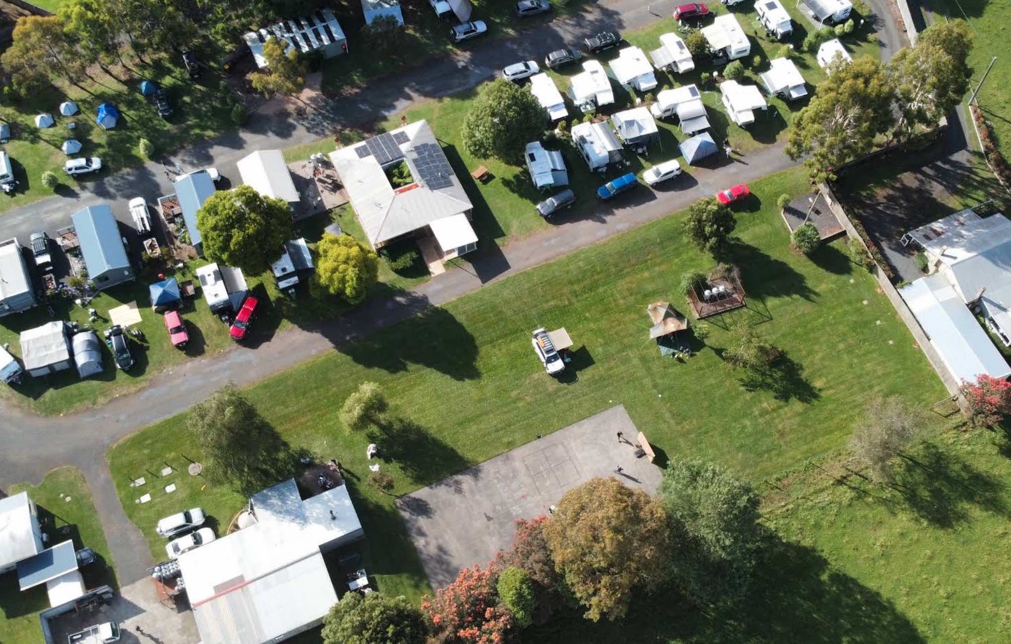
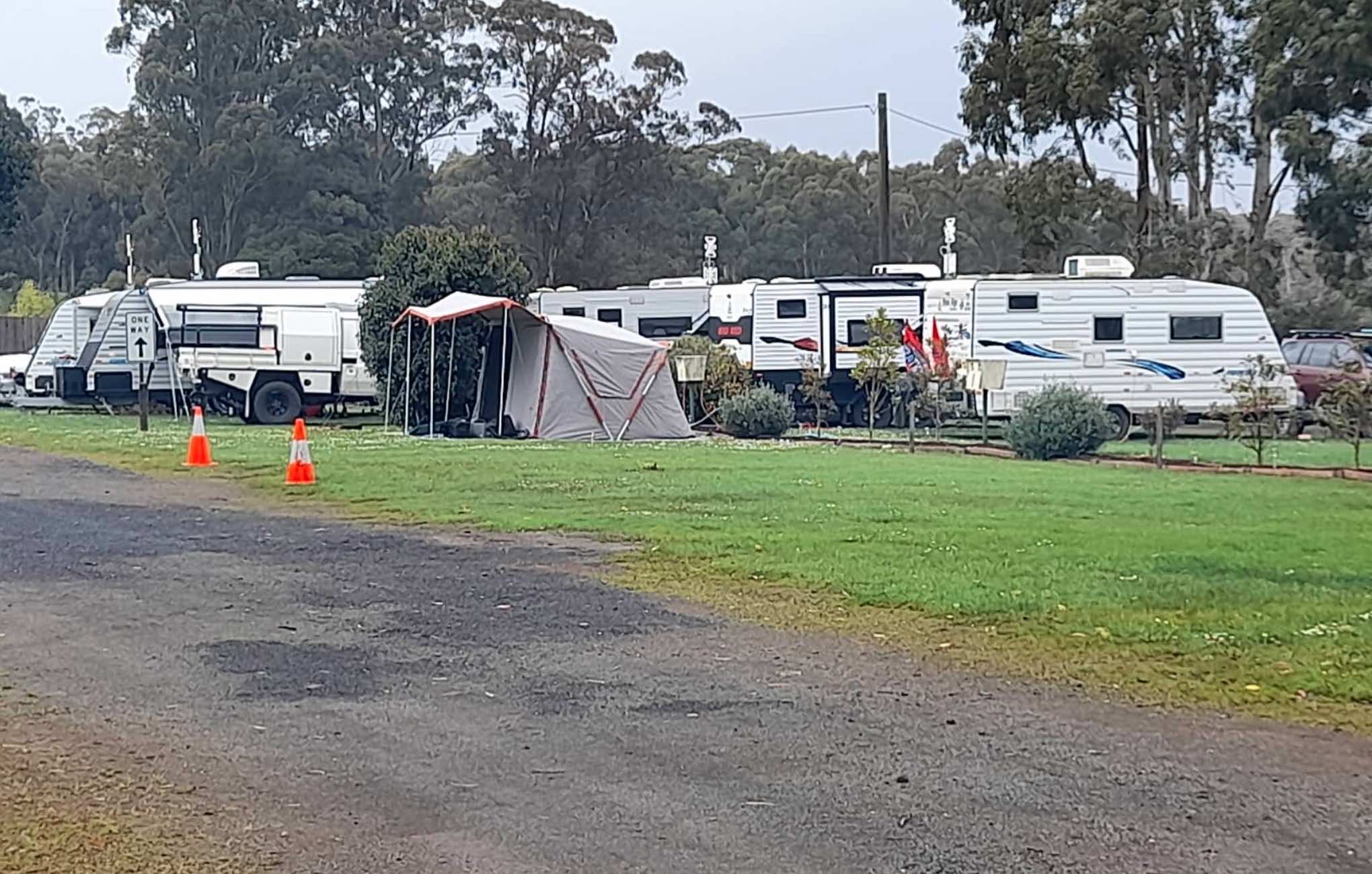
0 reviews
Erica Caravan Park
Erica Caravan Park is perfectly positioned as "Nature's Gateway" to the breathtaking natural attractions of Victoria's High Country. Located in the small, charming township of Erica, this park offers a peaceful and friendly atmosphere, ...
Read More...
Category
Caravan Parks List
Facilities Available, , , , , , , , , , ,
, , , , , , , , , , ,
Camping Info


0 reviews
Eureka Stockade Caravan Park
Eureka Stockade Holiday Park is a family-run park situated right next to the historic Eureka Stockade monument and reserve, approximately 2 kilometres from the heart of Ballarat. It offers a range of accommodation options fro ...
Read More...
Category
Caravan Parks List
Facilities Available, , , , , , , , , , , ,
, , , , , , , , , , , ,
Camping Info,
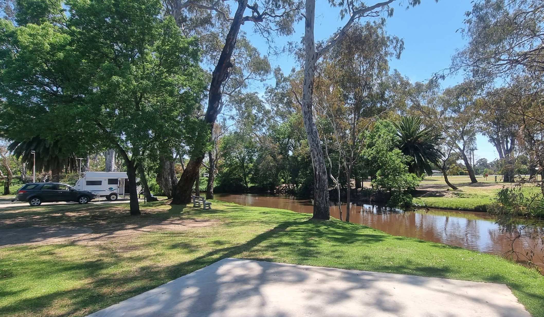
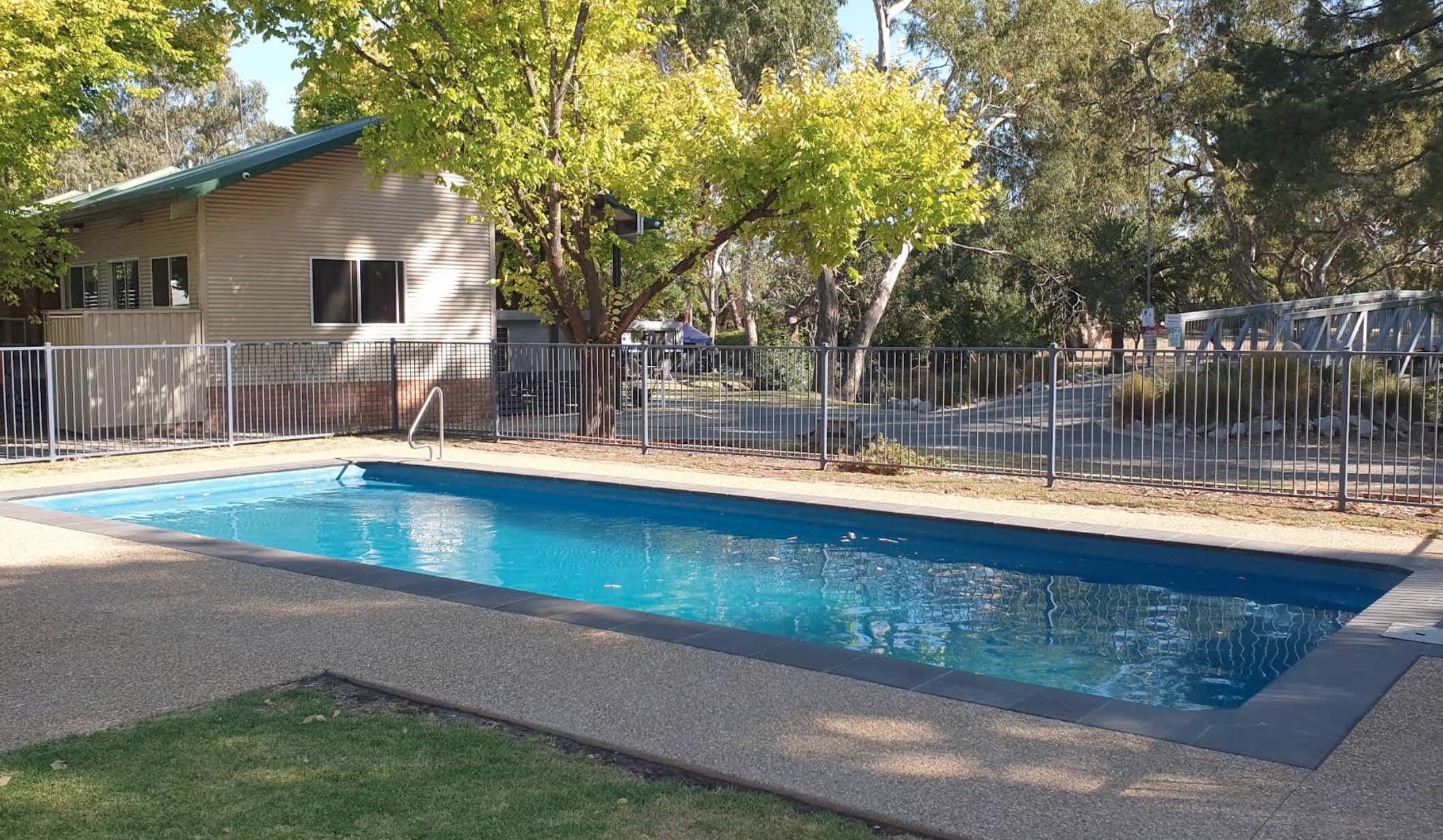
0 reviews
Euroa Caravan Park
Euroa Caravan Park is a welcoming park nestled on the picturesque banks of Seven Creeks, offering a relaxing getaway surrounded by beautiful parkland. It's conveniently located a leisurely 10-minute stroll from the Euroa town centre an ...
Read More...
Category
Caravan Parks List
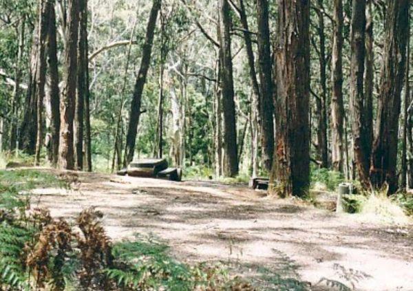
0 reviews
Ferntree Camping Ground has a short and easy walk to Ferntree Falls from the carpark. To camp here you will need to book online with Parks Victoria. has 5 suitable campsites on mostly uneven ground. Take a short hike to the Ferntree Waterfalls and take yo ...
Read More...
Category
Camping Fees Apply
Facilities Available, ,
, ,
Camping Info
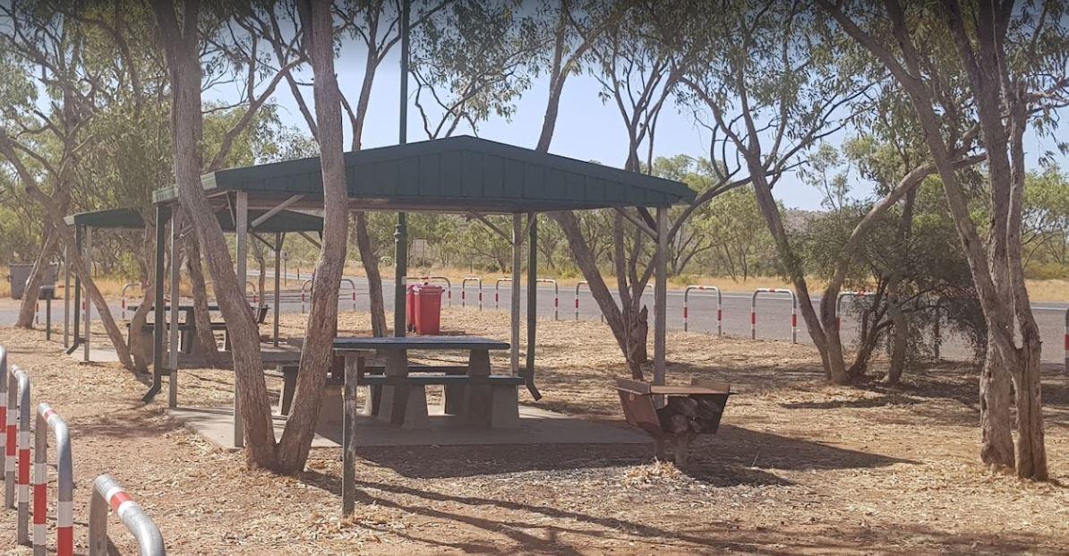
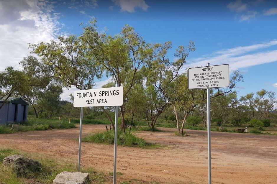
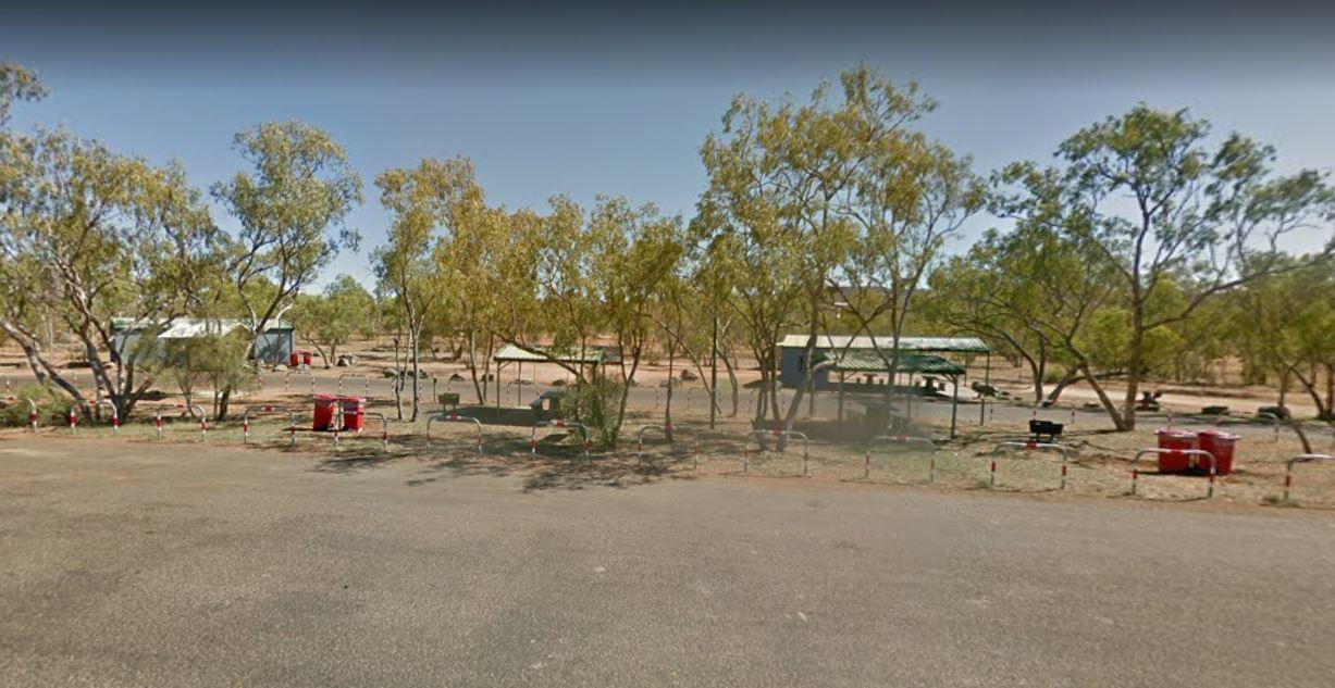
0 reviews
The Fountain Springs Rest Area has flushing public toilets, and a water tap (The water is not suitable for drinking).You will find this is a popular spot so if you get there late, you might have a problem finding a place to park your caravan.
Category
Rest Areas
Facilities Available, , , ,
, , , ,
Camping Info, ,
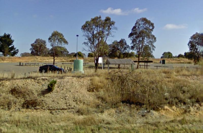
0 reviews
French VC Rest Area although there is loads of parking space, there's very little shade for you to park your caravan under. There are 2 long drop toilets with hand-wash basin, undercover picnic tables, tank water and fireplaces with bbq facilities.
Category
Rest Areas
Facilities Available, , , ,
, , , ,
Camping Info


111 Griffiths Street, Port Fairy, 3284, Victoria
0 reviews
Gardens Caravan Park Port Fairy
Gardens Caravan Park in Port Fairy offers a tranquil getaway nestled beside the picturesque Botanic Gardens and the Moyne River. It's conveniently located just 200 metres from the popular East Beach, allowing guests to eas ...
Read More...
Category
Caravan Parks List
Facilities Available, , , , , , , , , , , ,
, , , , , , , , , , , ,
Camping Info
79 Breakwater Road, Breakwater, 3219, Victoria
0 reviews
Geelong Showgrounds Campground offers an affordable and convenient camping option located in the heart of Geelong, Victoria, specifically at 79 Breakwater Road, East Geelong. Managed by the Royal Geelong Agricultural and Pastoral Society, the campground p ...
Read More...
Category
Camping Fees Apply
Facilities Available, , , , , ,
, , , , , ,
Camping Info,
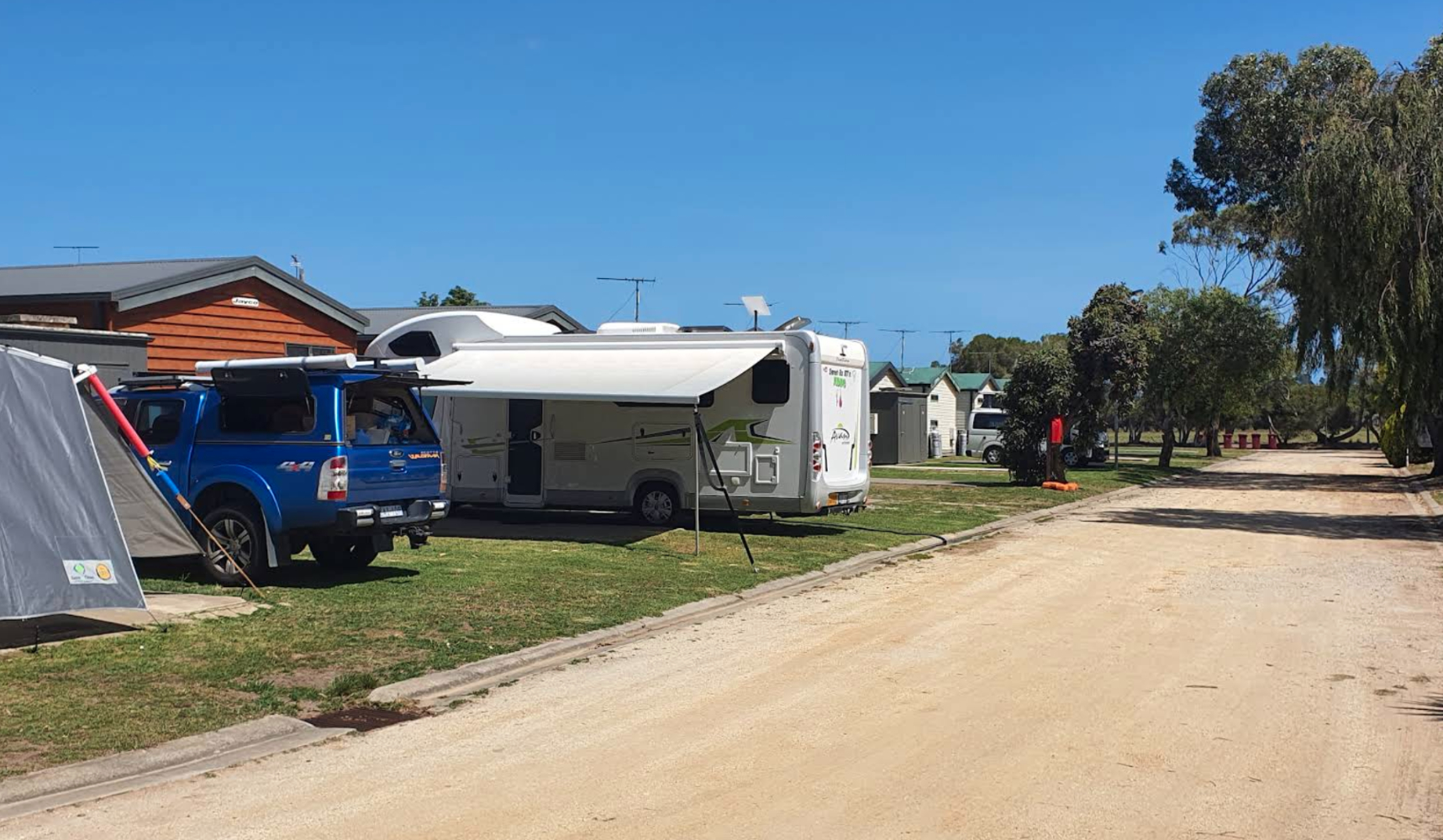


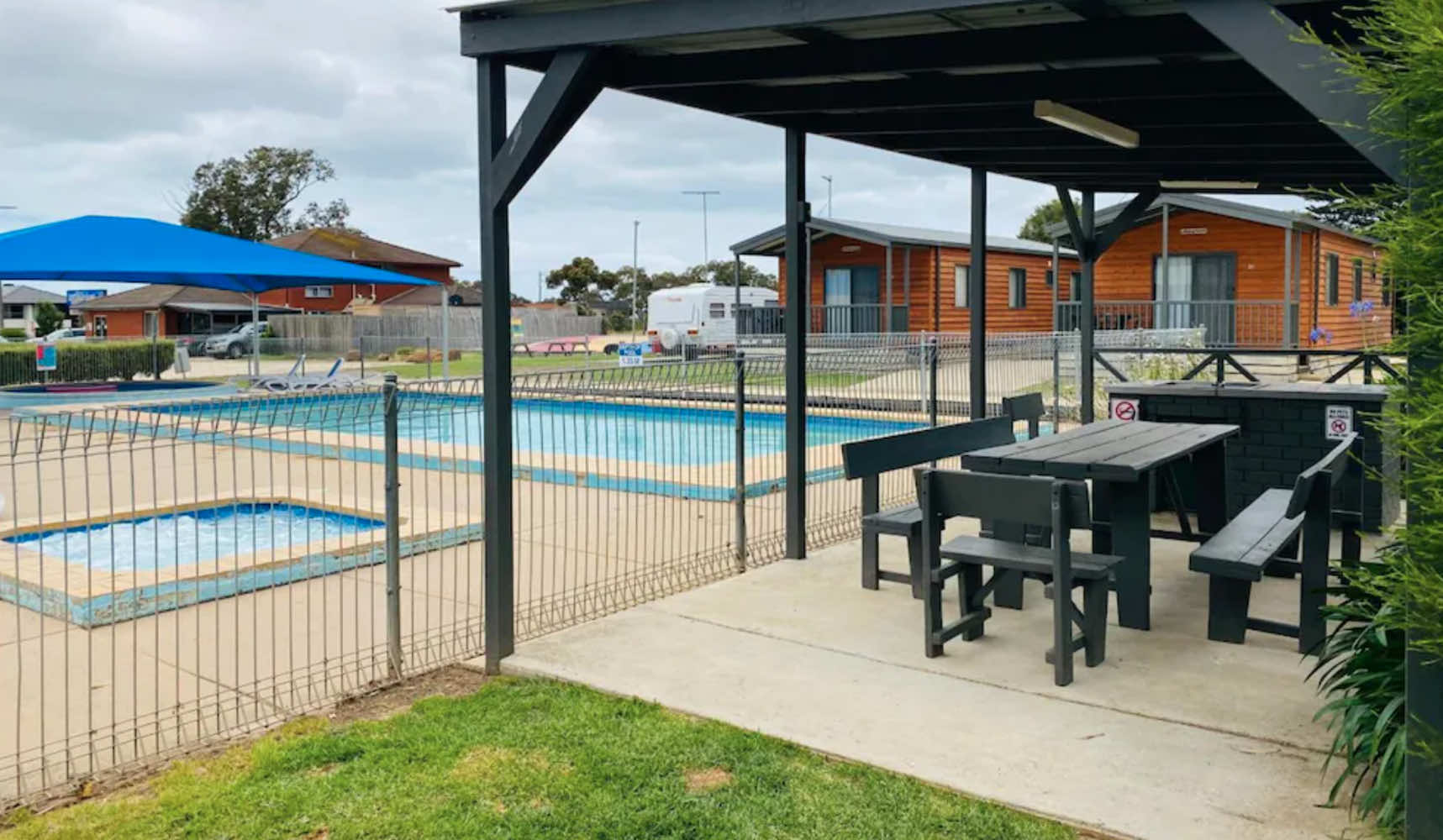
621 Surf Coast Highway, Mount Duneed, 3216, Victoria
0 reviews
Geelong Surfcoast Hwy Holiday Park
Geelong Surfcoast Hwy Holiday Park, situated in Mount Duneed near Torquay, serves as a gateway to the Great Ocean Road and is conveniently located just minutes from the renowned beaches of Torquay and a short 10-minute ...
Read More...
Category
Caravan Parks List
Facilities Available, , , , , , , , , , , , ,
, , , , , , , , , , , , ,
Camping Info
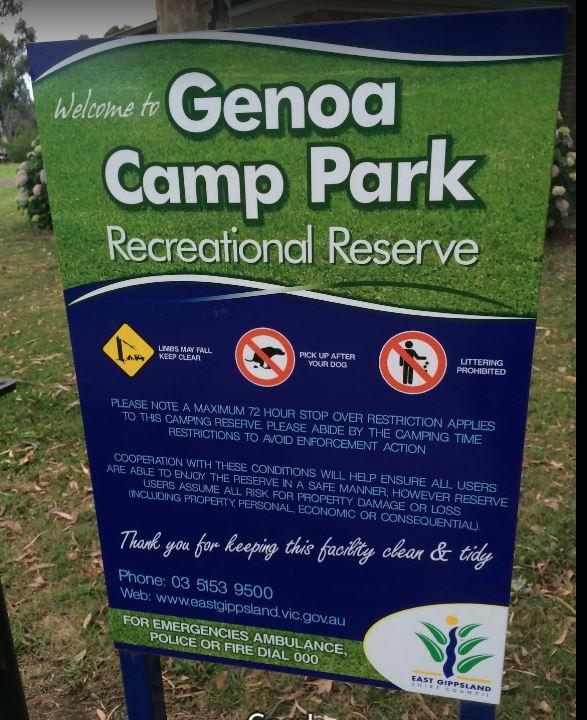
0 reviews
The Genoa Rest Area has a General store just over the footbridge, so you can stock up your larders, and access to a public phone box if needed.
Category
Rest Areas
Facilities Available, , , , , ,
, , , , , ,
Camping Info, , ,
0 reviews
The Gilgunnia Rest Area is on the corner of Tara-Tallebung Rd and Kidman Way, it's a place to stop and rest a bit and nothing more. There is a public toilet, some rubbish bins, and a few places to park your caravan under some shade trees.
Category
Rest Areas
Facilities Available, ,
, ,
Camping Info
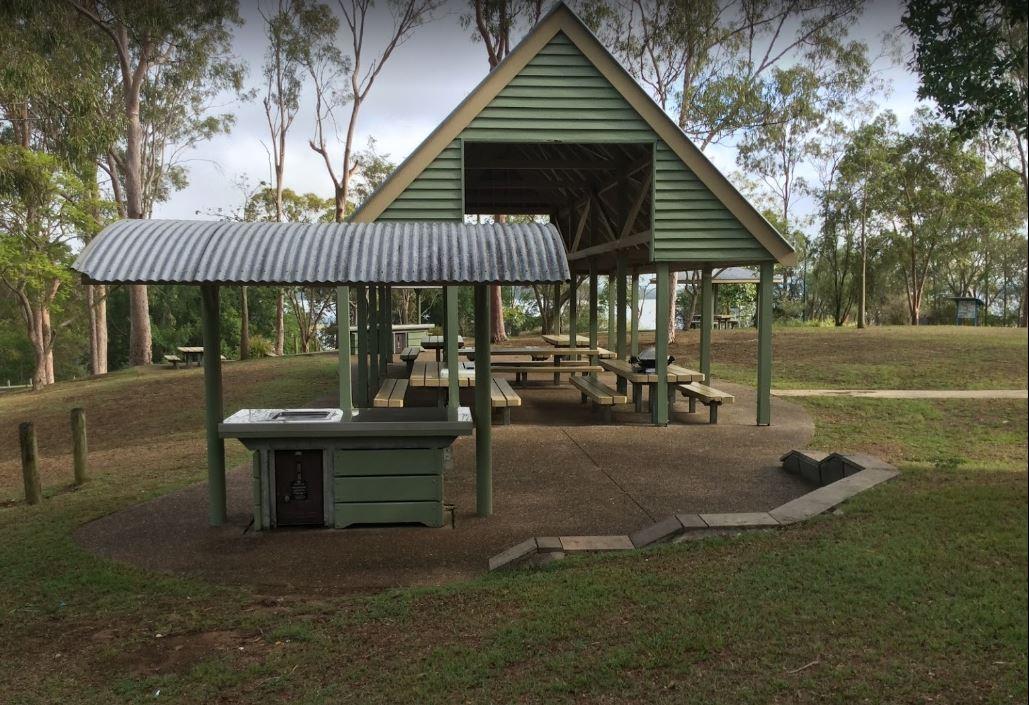
0 reviews
If stopping overnight at the Gin Gin Rest Area, you'll find plenty of room for your caravan, public toilets with hand wash basin and picnic tables and chairs, plus a water tap.
Category
Rest Areas
Facilities Available, , ,
, , ,
Camping Info, ,
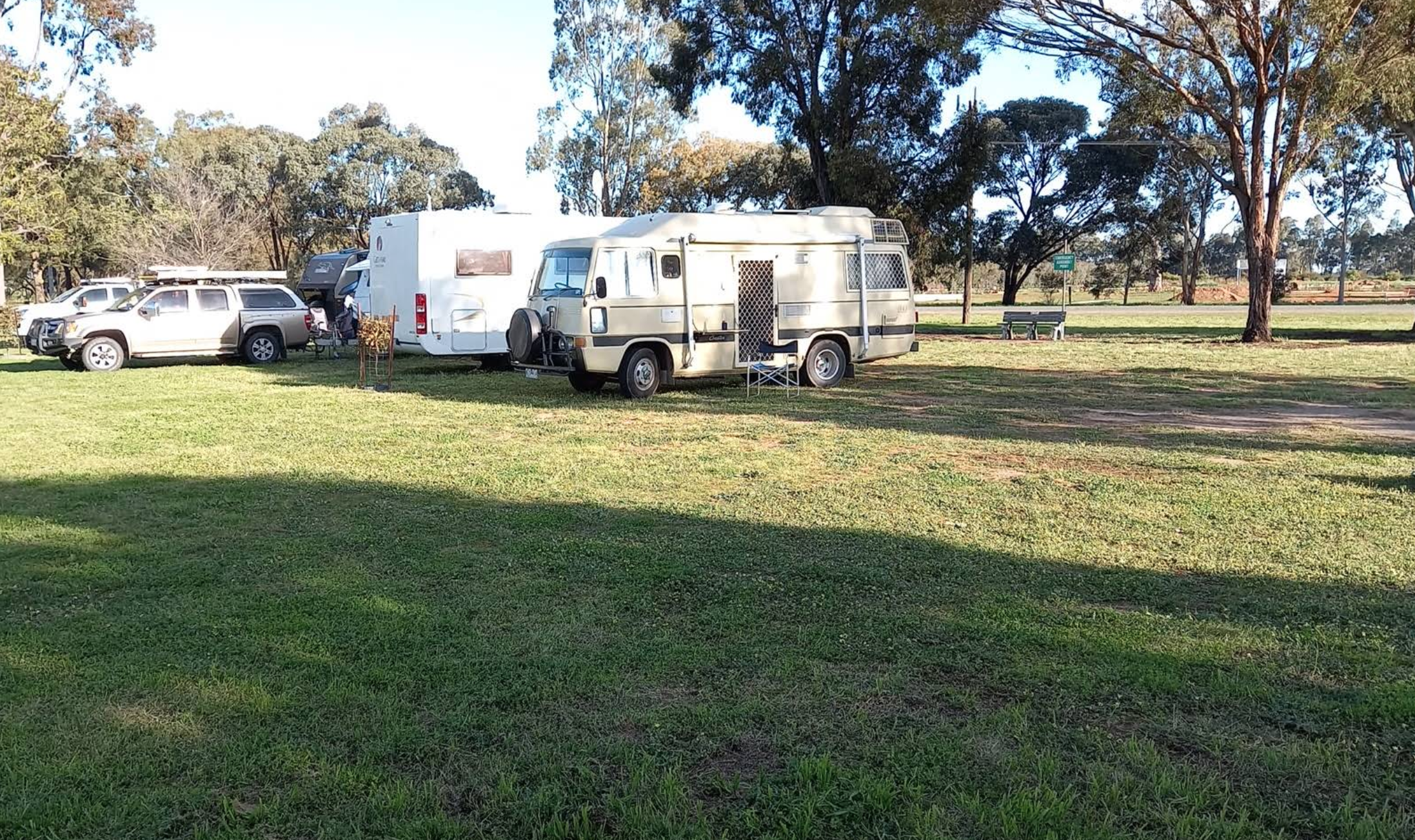
0 reviews
A donation box located in showers/toilets block. Note: Grounds are NOT available on the full weekend of the 2nd Sunday of every month due to large onsite markets.
Category
Camping Fees Apply
Facilities Available, , , , , , ,
, , , , , , ,
Camping Info,  , ,
, ,
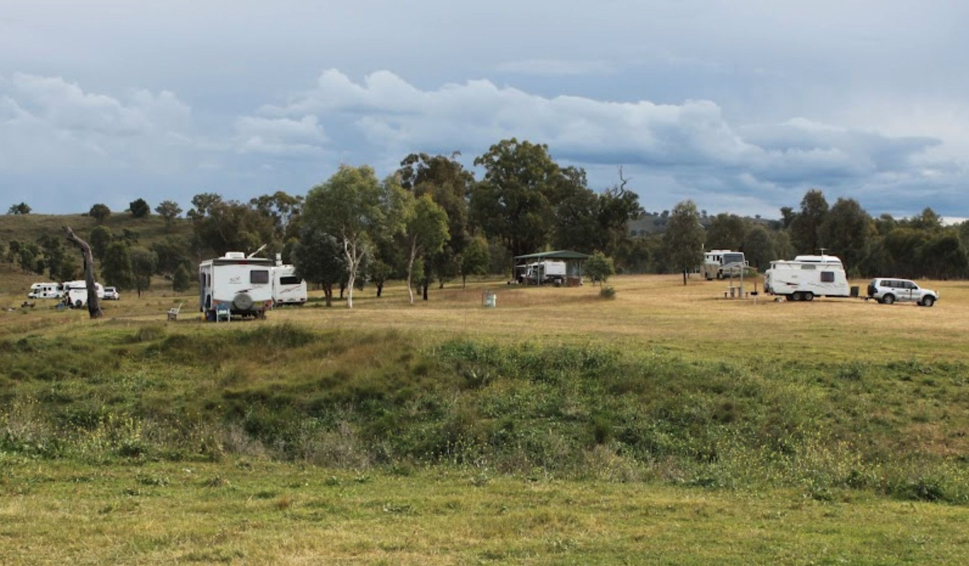
0 reviews
The Glenriddle Recreation Reserve Camp Area is a large area with plenty of places to choose your campsite,. There is an undercover picnic table, a public toilet and a few rubbish bins. The Manilla River is close by for those eager fishermen amongst you, a ...
Read More...
Category
Rest Areas
Facilities Available, , , , , ,
, , , , , ,
Camping Info
0 reviews
The Glenariff Rest Area is off the main road with a few trees to keep the sun off your head, while you are getting ready to continue your journey.
Category
Rest Areas
Facilities Available,
,
Camping Info
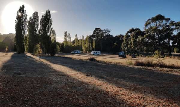
0 reviews
Glenlyon Recreation Reserve offers a picturesque camping experience set alongside the Loddon River in the charming area of Glenlyon, Victoria. Known for its tranquil riverside setting and the presence of the Glenlyon Mineral Spring, the reserve provides a ...
Read More...
Category
Camping Fees Apply
Facilities Available, , , , ,
, , , , ,
Camping Info,
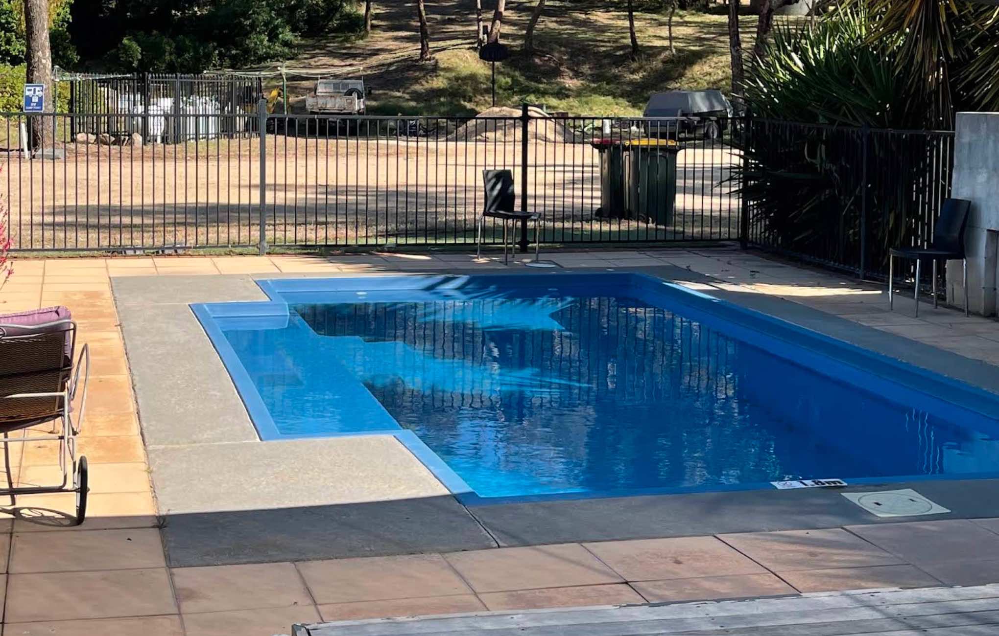
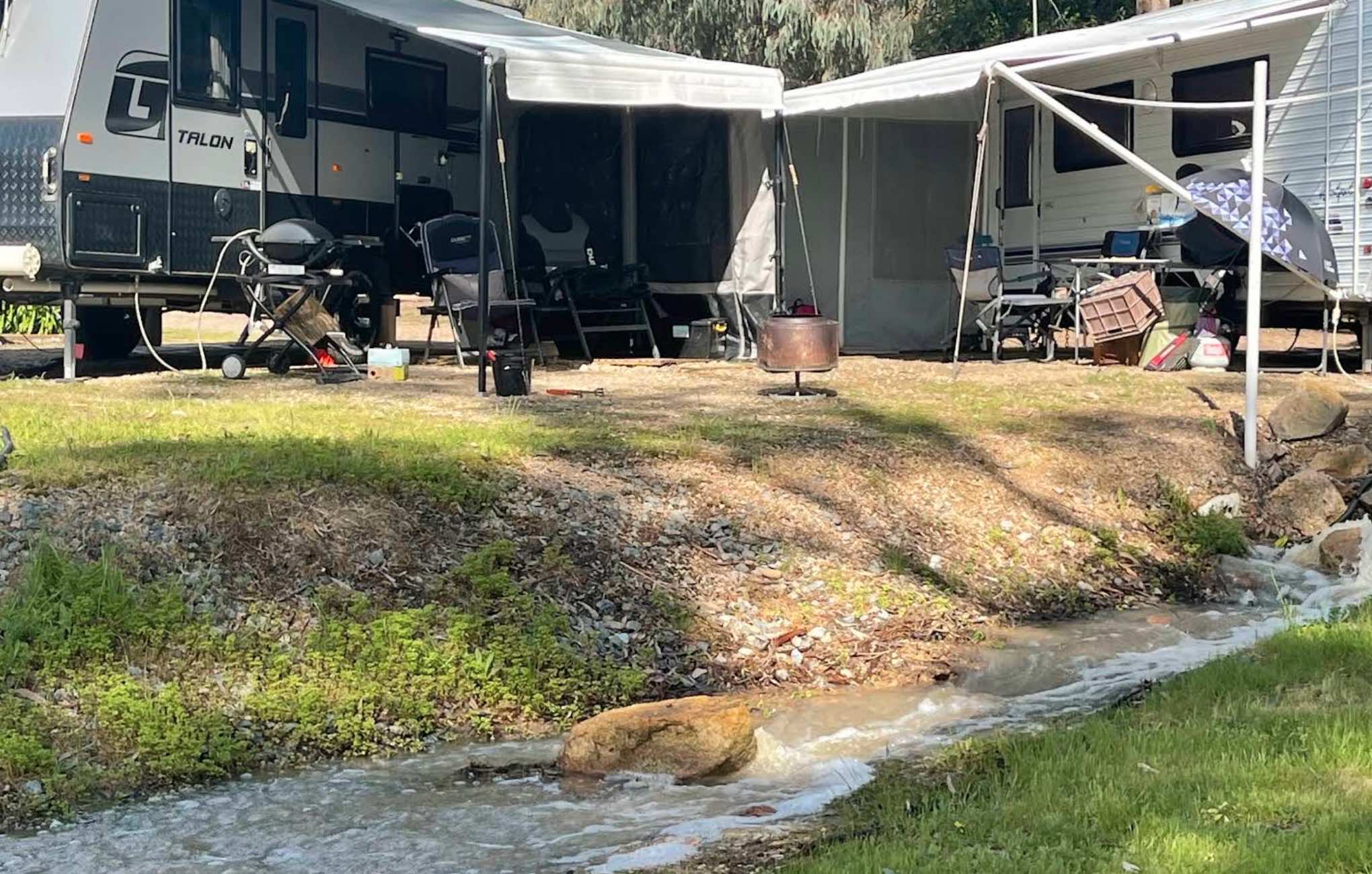
0 reviews
Glenrowan Caravan and Tourist Park
Nestled amidst 35 acres of natural bushland at the foothills of the Warby Ovens National Park, Glenrowan Caravan and Tourist Park offers a tranquil escape just 2.5 kilometres from the historic town of Glenrowan. This qu ...
Read More...
Category
Caravan Parks List
Facilities Available, , , , , , , , , ,
, , , , , , , , , ,
Camping Info

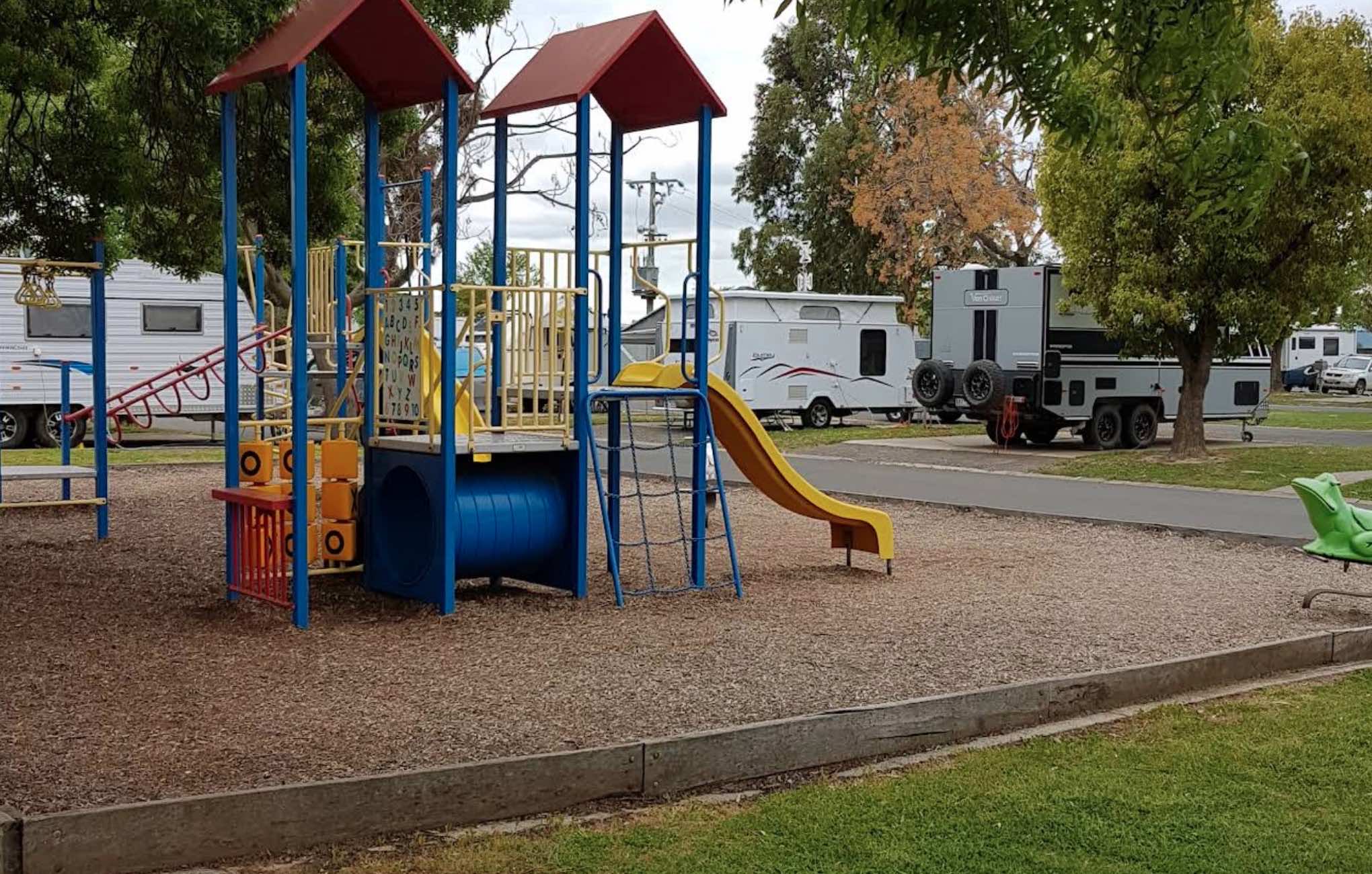
0 reviews
Gold Nugget Tourist Park (Bendigo)
Gold Nugget Tourist Park, located in Epsom, just north of Bendigo, is a highly-rated, family-owned and operated park widely recognised as one of Victoria's premier tourist parks. Offering a peaceful, bushland-like setti ...
Read More...
Category
Caravan Parks List
Facilities Available, , , , , , , , , , , , , , , ,
, , , , , , , , , , , , , , , ,
Camping Info
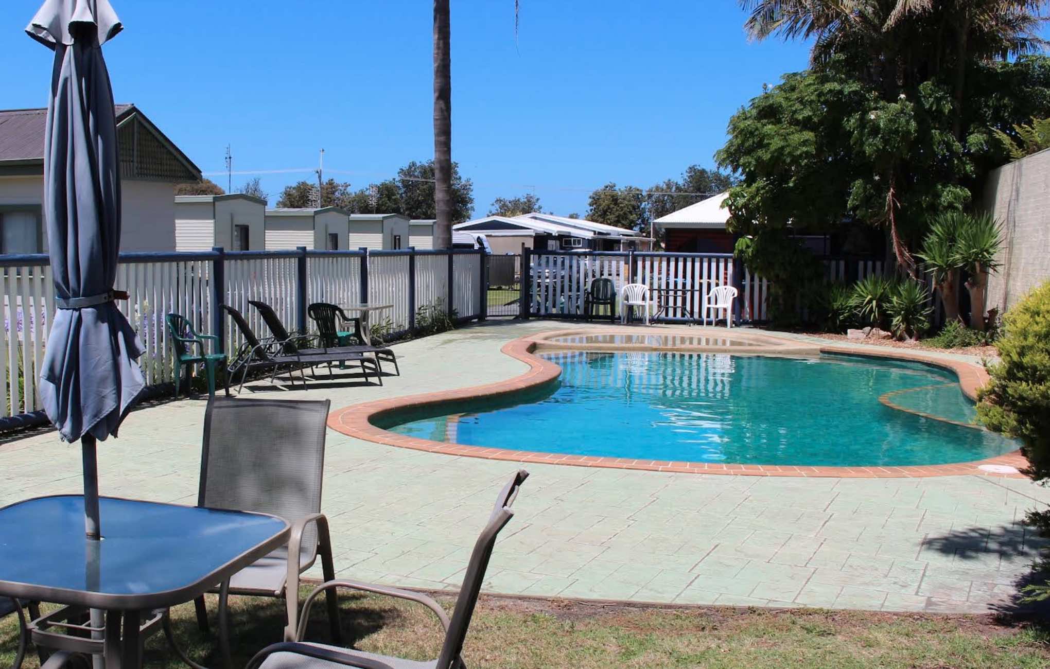
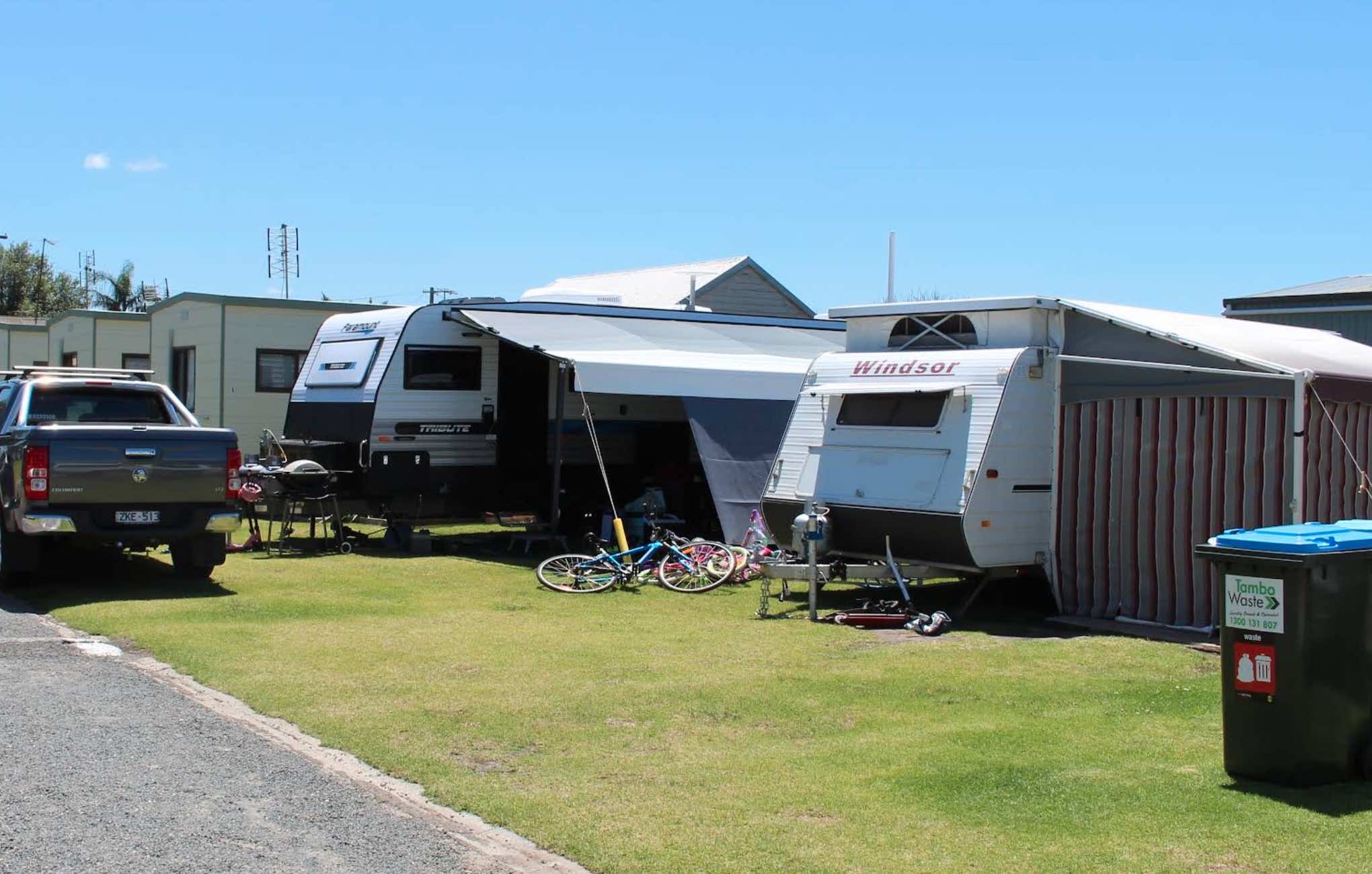
651 Esplanad, Lakes Entrance, 3909, Victoria
0 reviews
Golden Terrace Holiday Park
Golden Terrace Holiday Park is a small, quiet, and locally-owned caravan park perfectly positioned in Lakes Entrance, a popular coastal town renowned for its stunning waterways and proximity to the Ninety Mile Beach. The park ...
Read More...
Category
Caravan Parks List
Facilities Available, , , , , , , , , , ,
, , , , , , , , , , ,
Camping Info
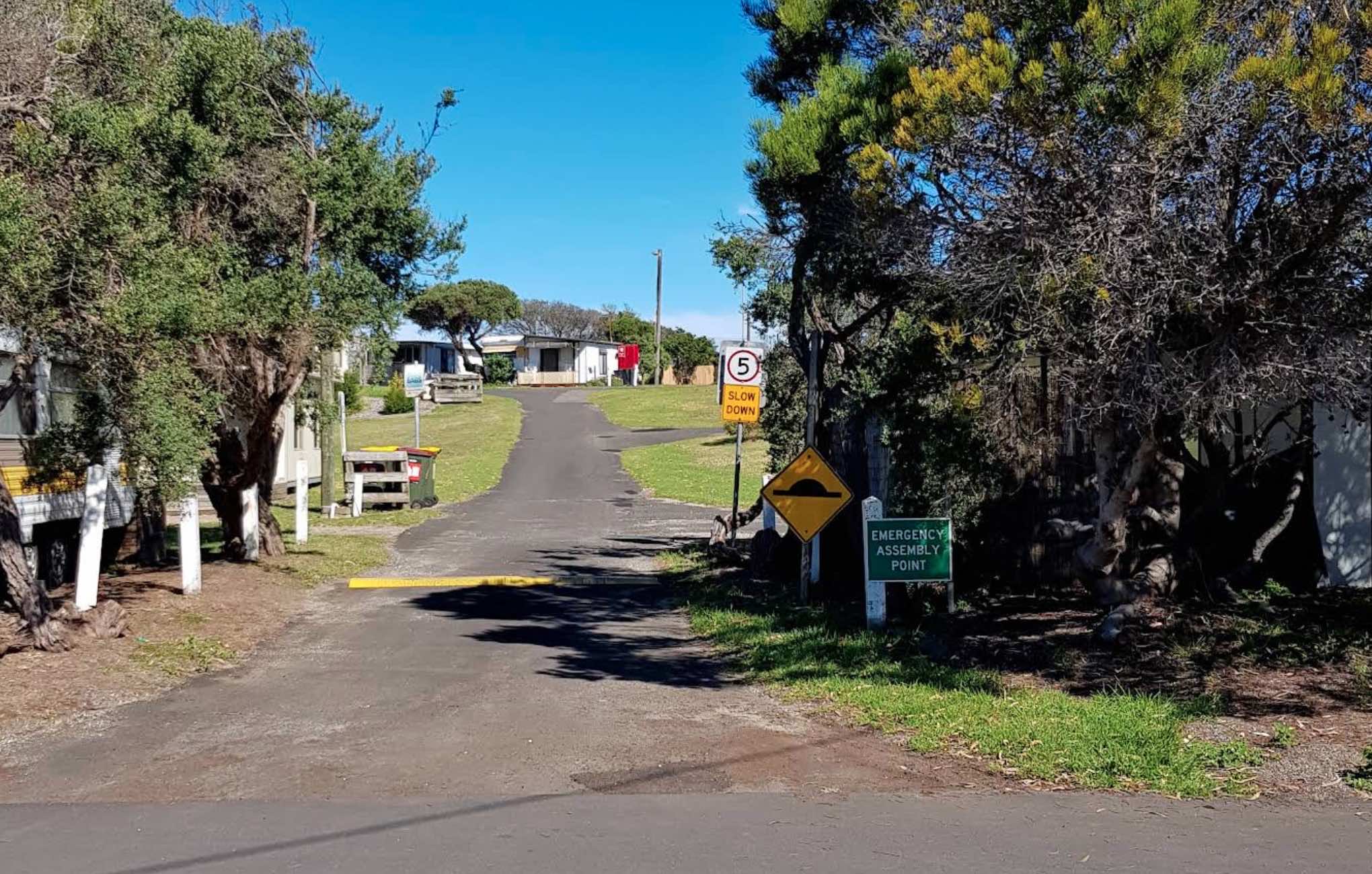
2 Bowen Road, Point Lonsdale, 3225, Tasmania
0 reviews
GoLightly Park Caravan & Camping
Nestled among the Moonah trees with prime beachfront access, GoLightly Park Caravan & Camping offers a serene and traditional camping experience in Point Lonsdale, on Victoria's beautiful Bellarine Peninsula. As o ...
Read More...
Category
Caravan Parks List
Facilities Available, , , , , , , ,
, , , , , , , ,
Camping Info
Lachlan Valley Way, Gooloogong, 2805, New South Wales
0 reviews
At the Gooloogong Park Rest Area you can settle in, take a walk up to the pub, and check out the local shops, remember to spend some money, towns like this need a helping hand from tourism.
Category
Rest Areas
Facilities Available, , , , ,
, , , , ,
Camping Info
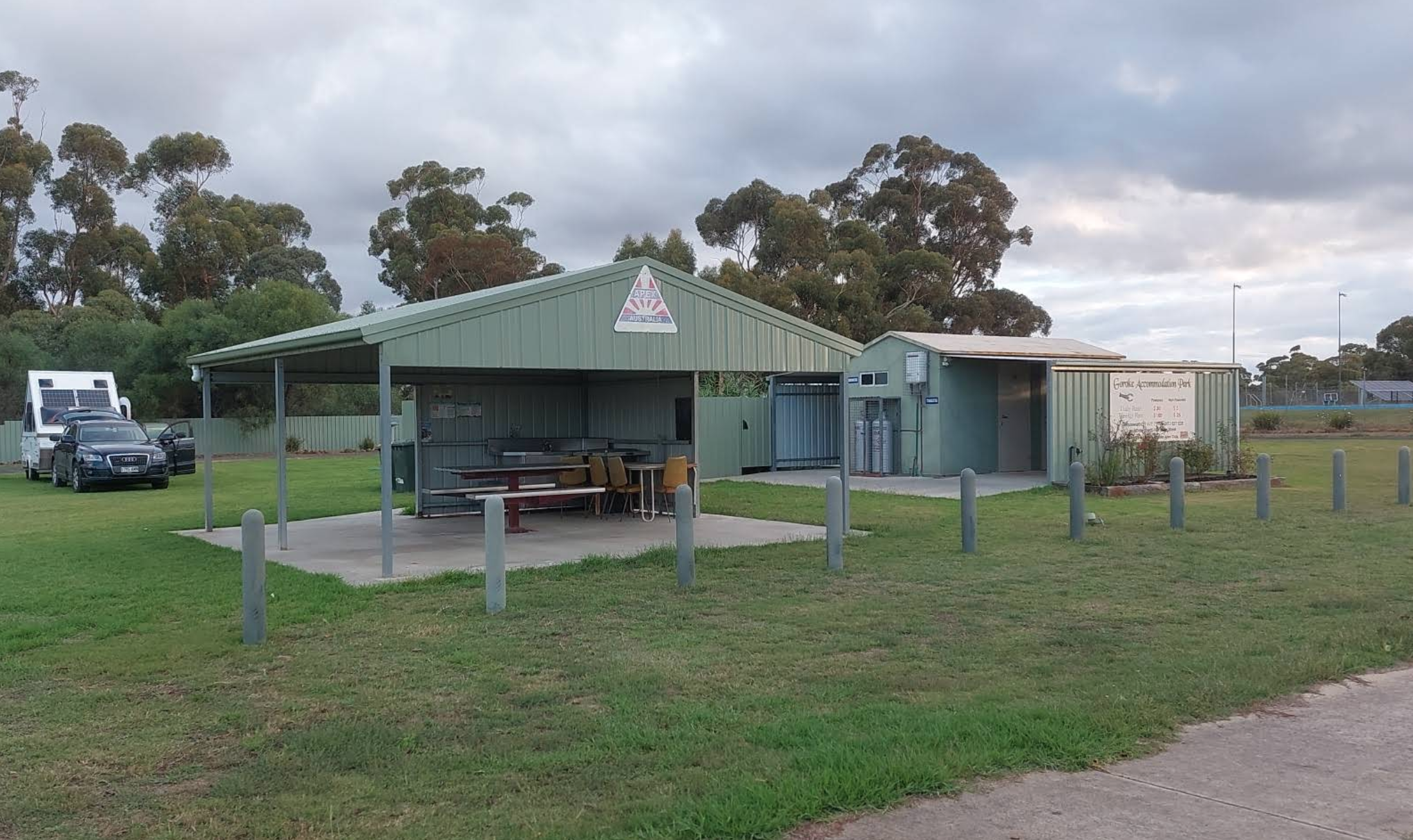
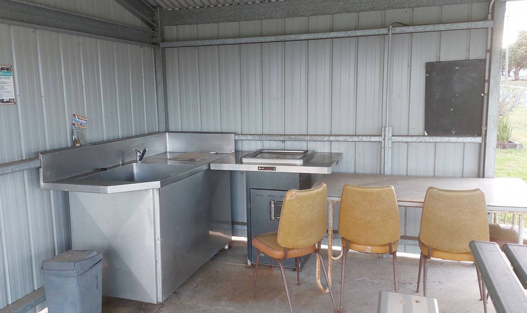
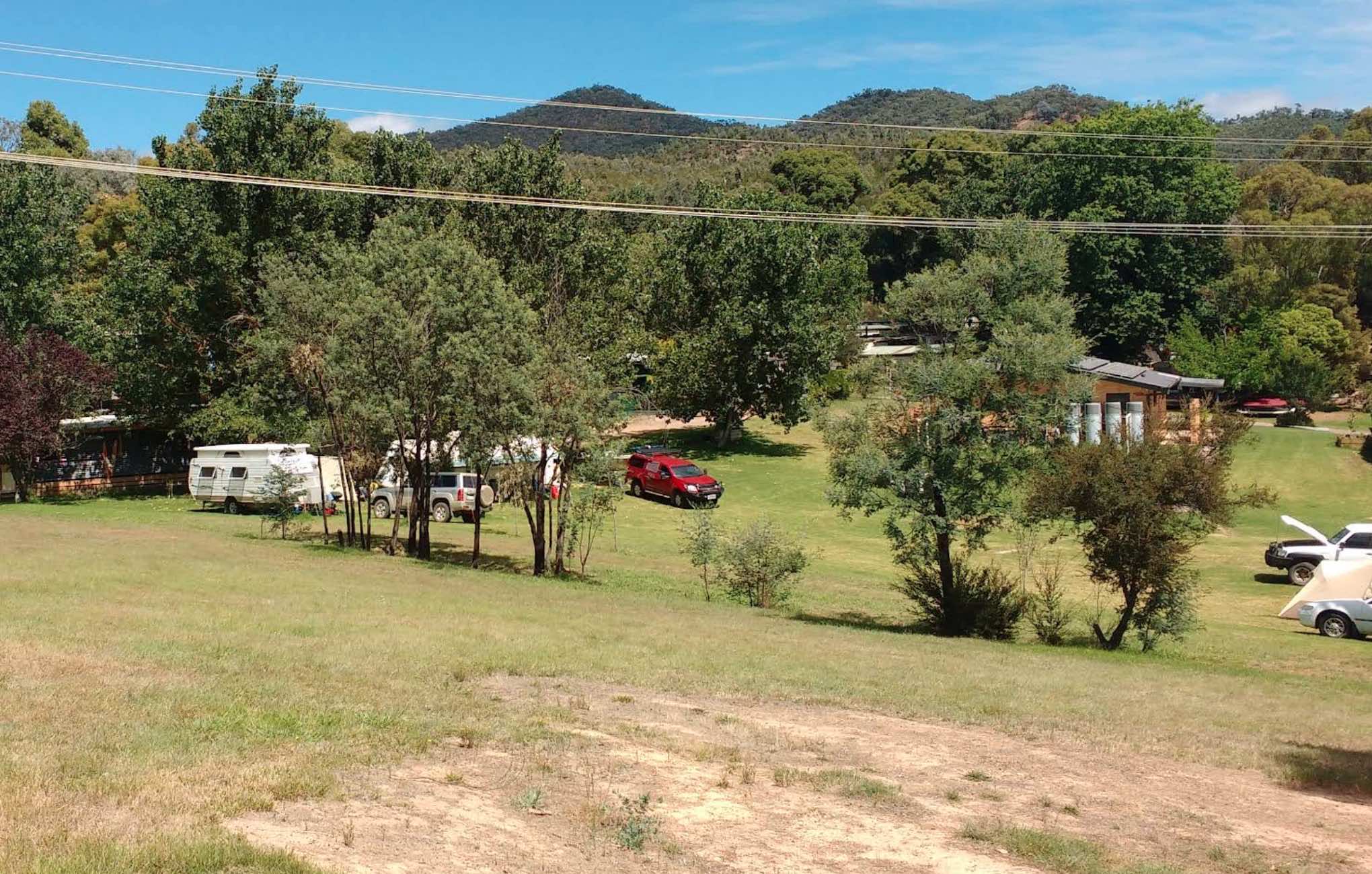
35 Bayside Boulevard, Goughs Bay, 3723, Victoria
0 reviews
Goughs Bay Caravan Park
Goughs Bay Caravan Park offers a tranquil and scenic retreat on the shores of Lake Eildon, in the heart of Victoria's High Country. Located just a short drive from Mansfield, this small, family-friendly park provides direct lake a ...
Read More...
Category
Caravan Parks List
Facilities Available, , , , , , , , ,
, , , , , , , , ,
Camping Info
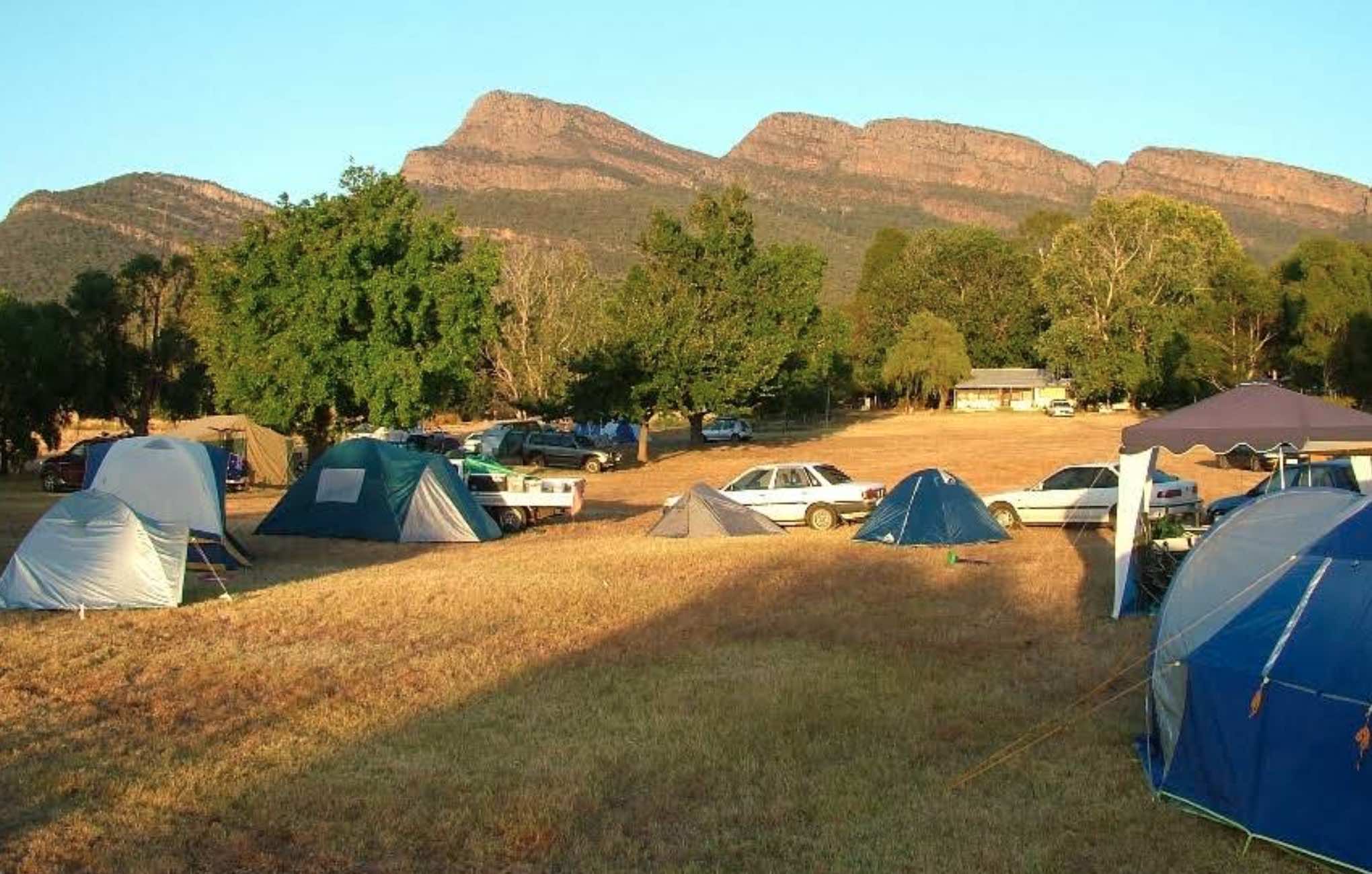
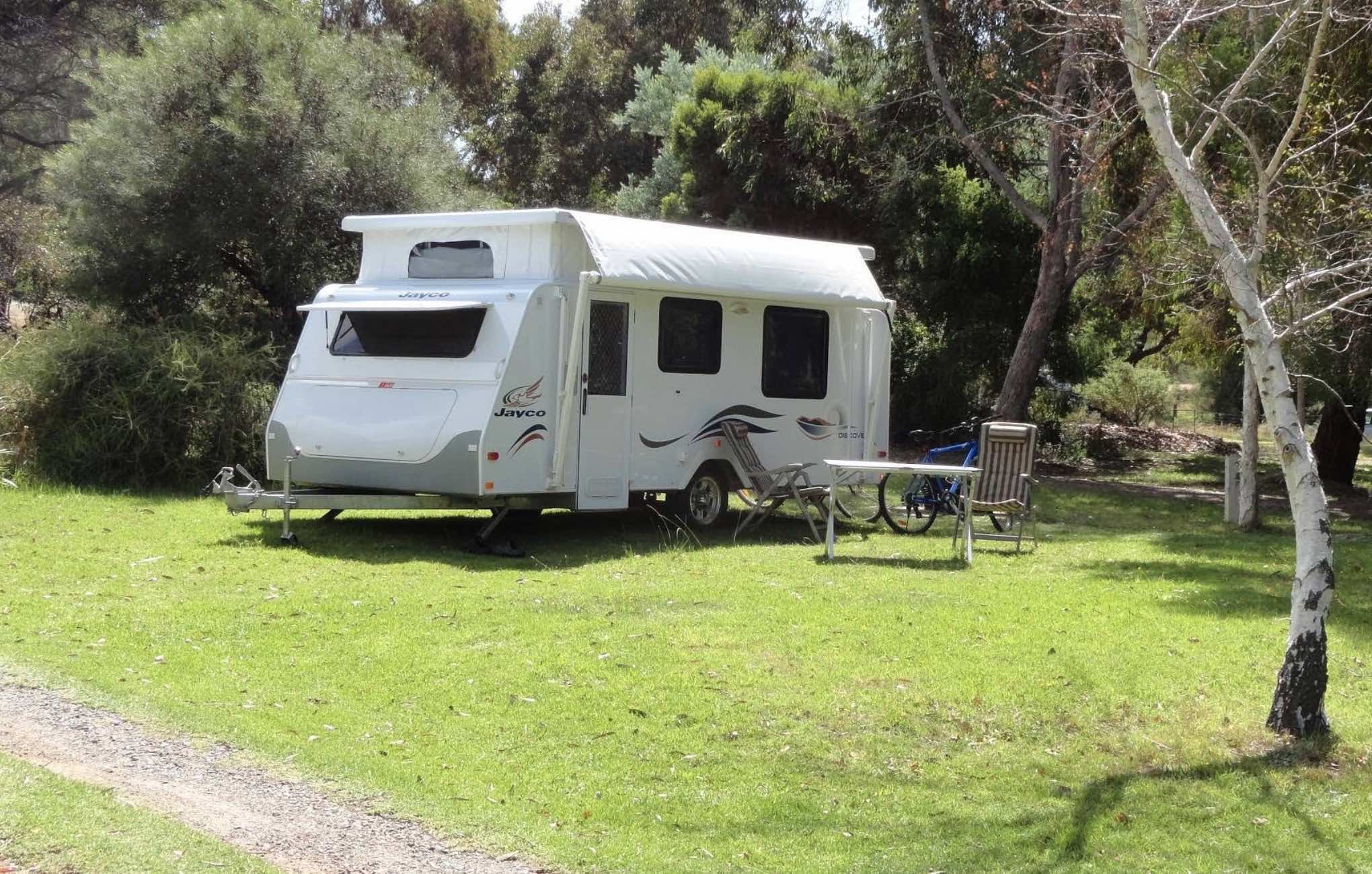
0 reviews
Grampians Paradise Camping and Caravan Parkland
Nestled in a serene rural setting at the base of the majestic Grampians mountain ranges, Grampians Paradise Camping and Caravan Parkland offers a truly immersive nature experience. With spacious, grassed si ...
Read More...
Category
Caravan Parks List
Facilities Available, , , , , ,
, , , , , ,
Camping Info
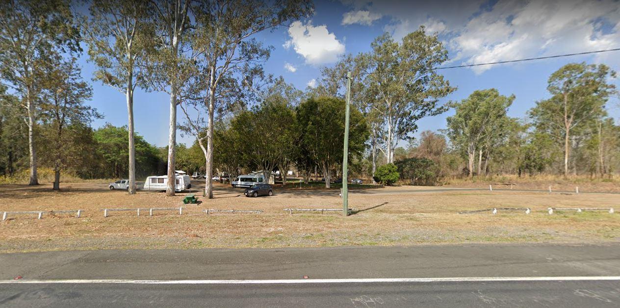
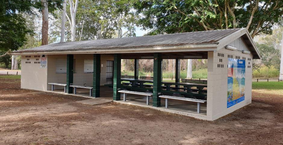
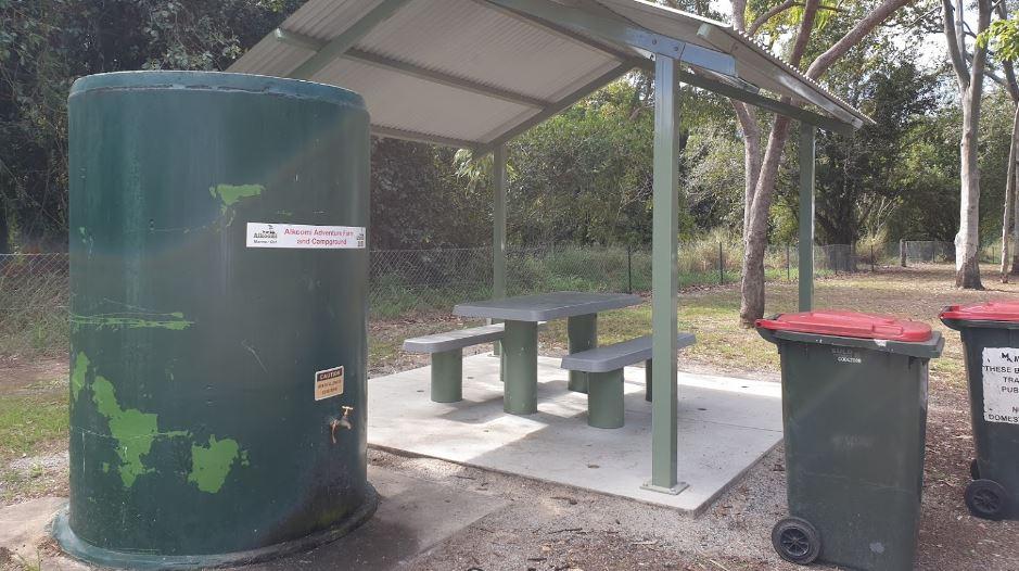
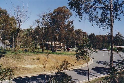
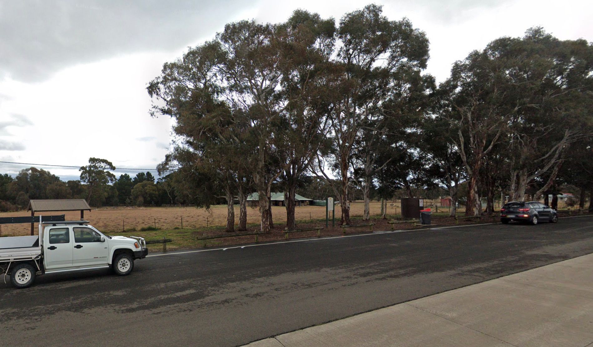
0 reviews
The Gratwick VC Rest Area is on an asphalt surface running adjacent the Federation Highway. There are a few trees for shade, undercover picnic tables and
Category
Rest Areas
Facilities Available, ,
, ,
Camping Info


Irvine Street and Great Ocean Road, Peterborough, 3270, Victoria
0 reviews
Great Ocean Road Tourist Park
Great Ocean Road Tourist Park is situated at Peterborough, right on the Great Ocean Road, near the bridge over the Curdies River inlet and a short 150 metres from the main beach. This multi-award-winning park (voted Victoria ...
Read More...
Category
Caravan Parks List
Facilities Available, , , , , , , , , , , , , , , , , ,
, , , , , , , , , , , , , , , , , ,
Camping Info
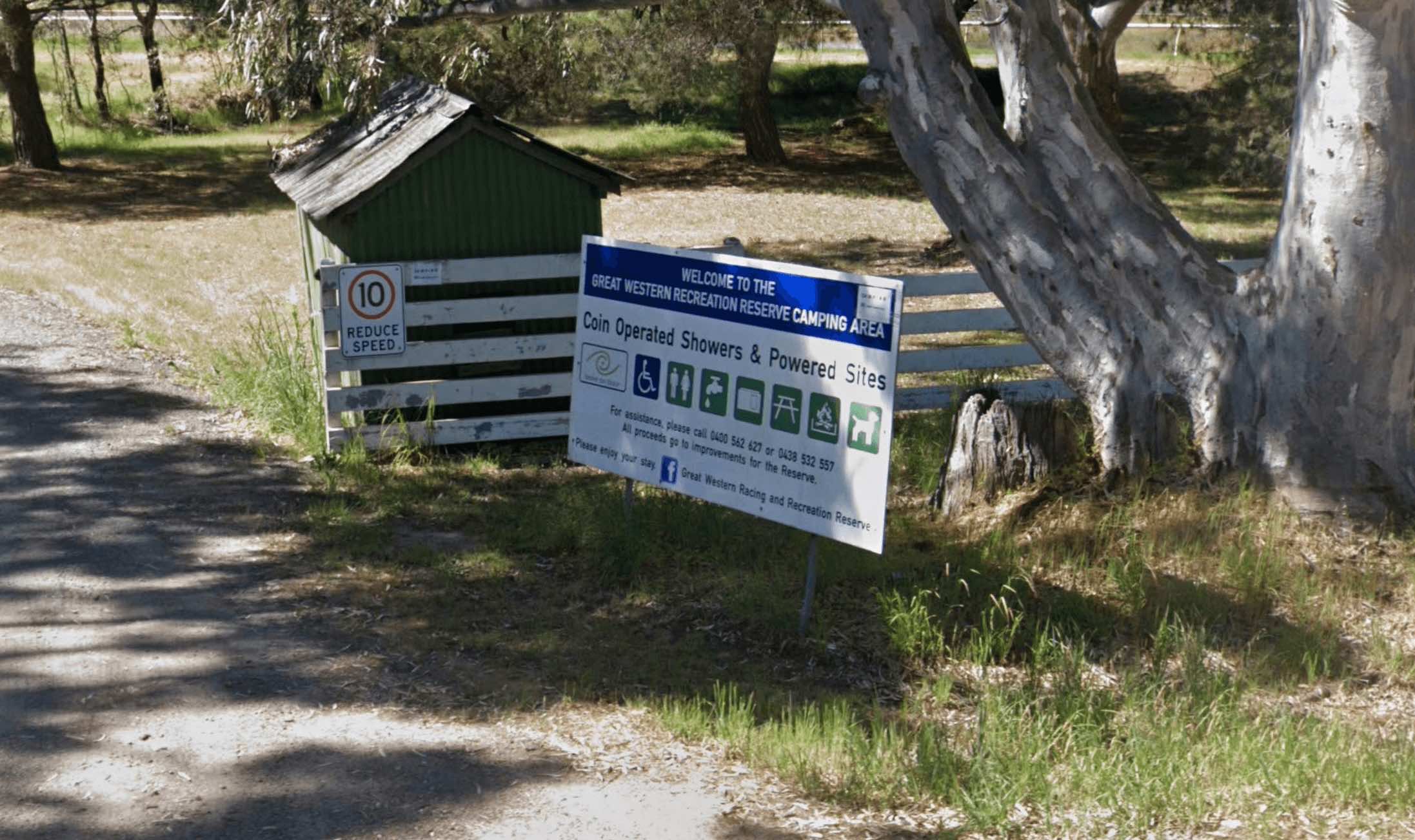
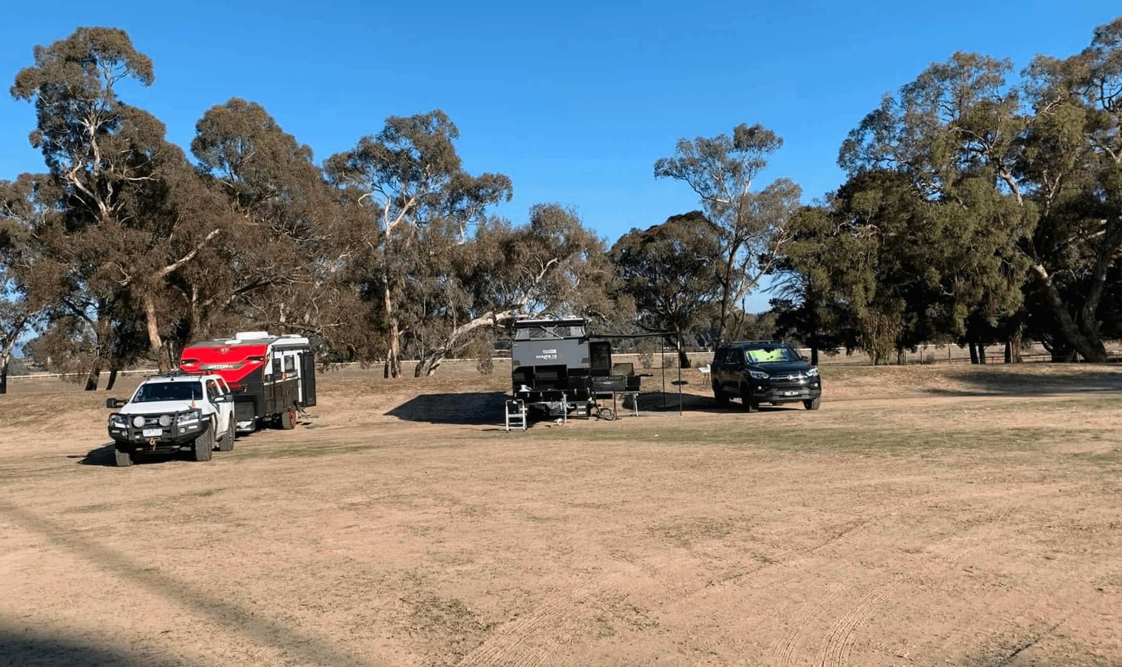
1098 Moyston-Great Western Road, Great Western, 3374, Victoria
0 reviews
Located in the heart of Victoria's picturesque Grampians region, the Great Western Racing & Recreation Reserve offers a spacious and shaded setting for camping and recreation. Situated within the grounds of the Great Western Racecourse, the reserve sp ...
Read More...
Category
Camping Fees Apply
Facilities Available, , , , , , ,
, , , , , , ,
Camping Info,
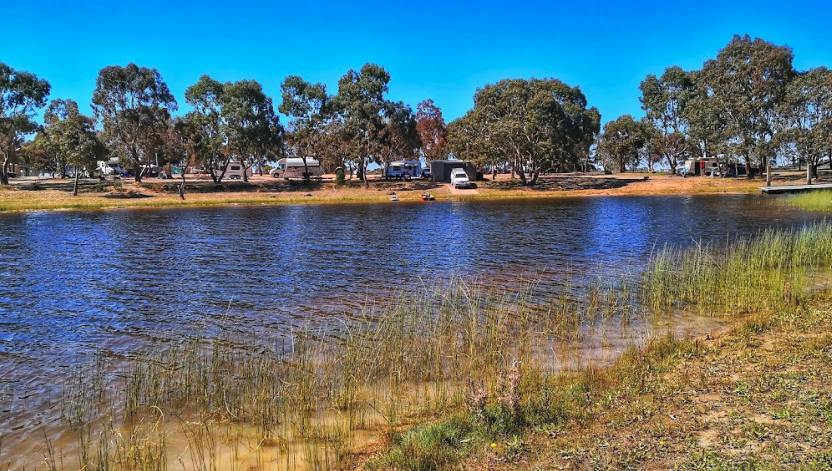
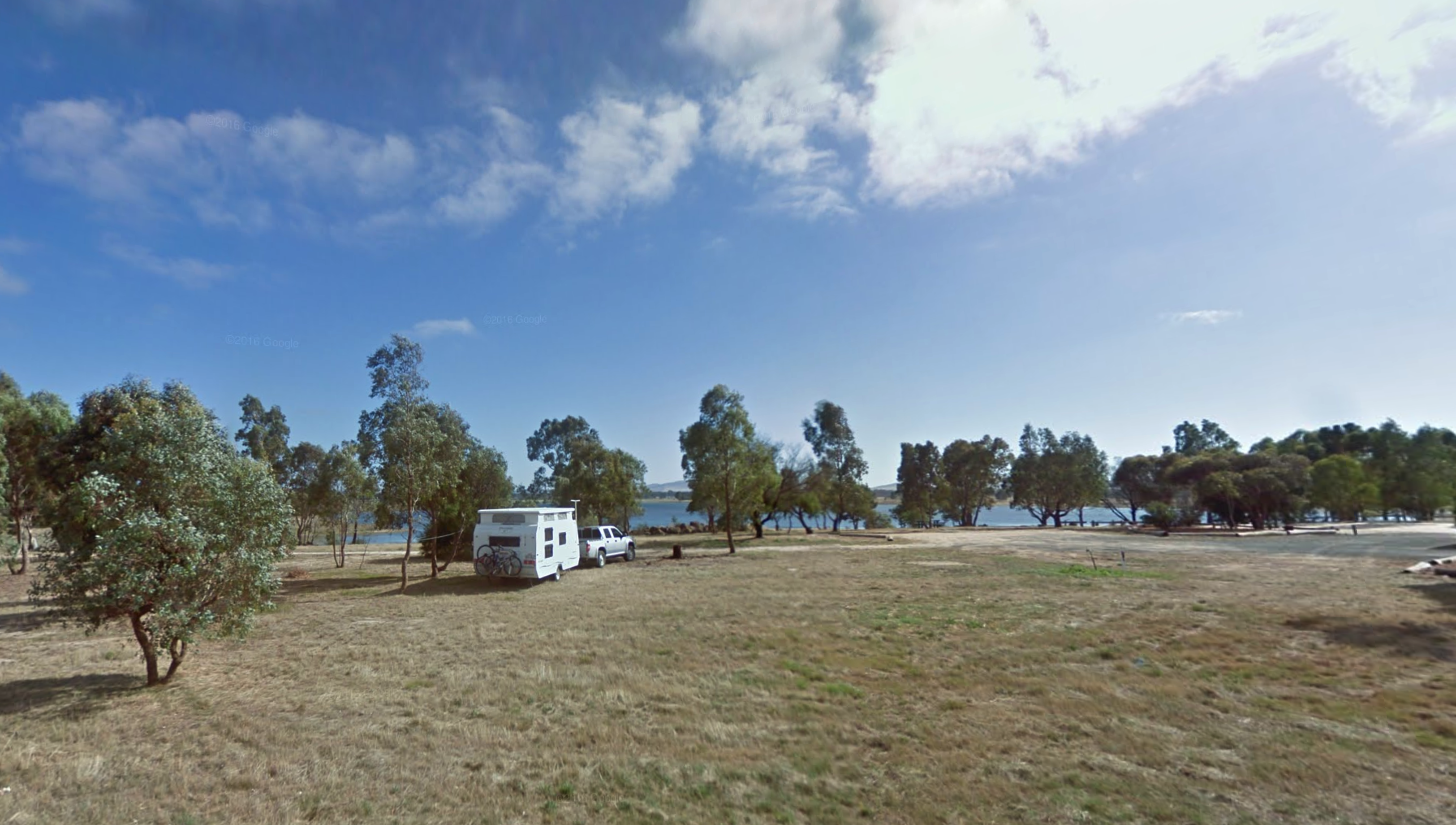
0 reviews
At the Green Hill Lake Camping Area, you can stay for 4-5 days and a permit is need for longer stays. free hot showers and a good toilet facility, bbq, fire pits, a children's playground and lots of rubbish bins. You can swim, kayak and explore the island ...
Read More...
Category
Free Camping
Facilities Available, , , , , , , , ,
, , , , , , , , ,
Camping Info, 

0 reviews
Greens Lake Regional Park Camping Area has plenty of camp spaces, power, toilets and showers and fire pits provided and it's right on the lake with safe swimming for kids.
Category
Camping Fees Apply
Facilities Available, , ,
, , ,
Camping Info
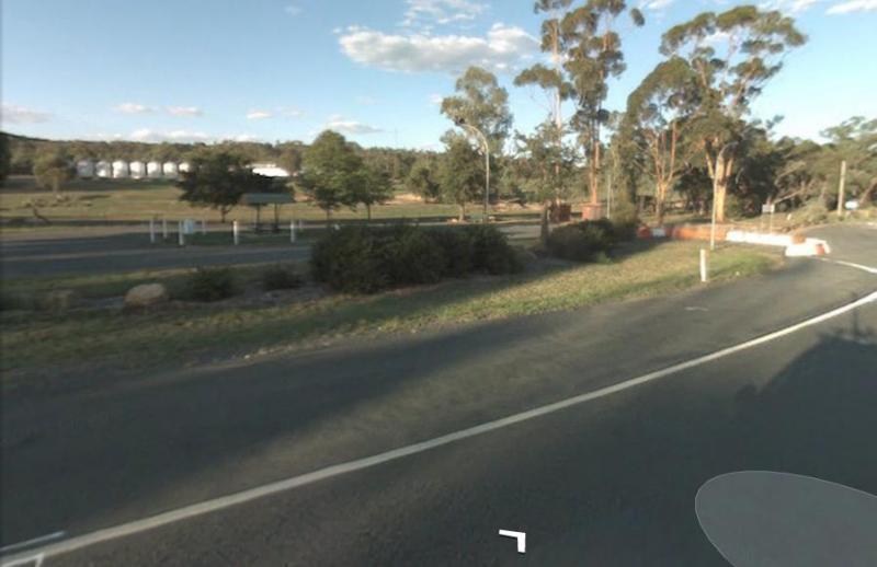
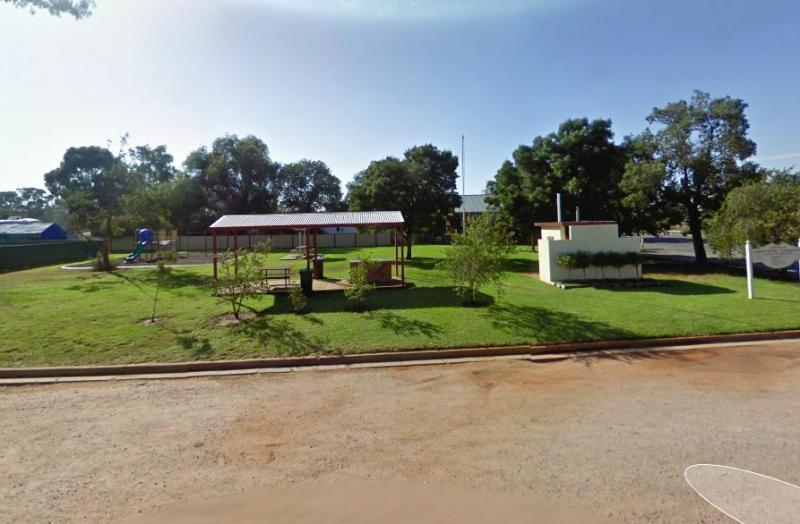
Junee Street, Grong Grong, 2652, New South Wales
0 reviews
At the Grong Grong Park Rest Area there is plenty of parking over near the Grain Silos, there is a public toilet undercover picnic table and bbq, rubbish bins and a small playground for the children.and a phone box and a shop nearby.
Category
Rest Areas
Facilities Available, , , , ,
, , , , ,
Camping Info,
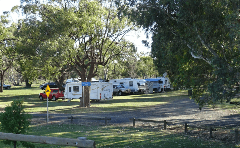
LOT 7004 Gum Bend Road, Condobolin, 2877, New South Wales
0 reviews
The Gum Bend Lake Camping Area has hot showers, rubbish bins, undercover picnic tables and bbqs with plenty of camping places to pick from, fishing, photographic opportunities everywhere and it's about 5km from the town of Condobolin in Central NSW. The G ...
Read More...
Category
Free Camping
Facilities Available, , , , , , , , ,
, , , , , , , , ,
Camping Info, 
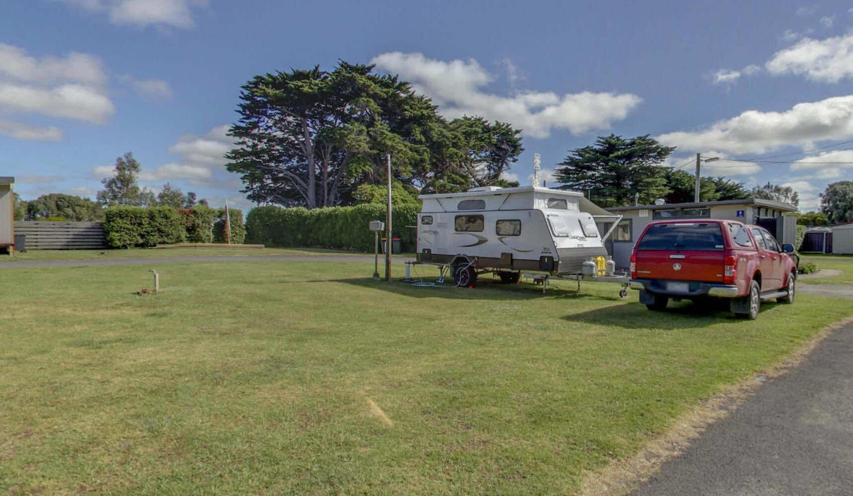
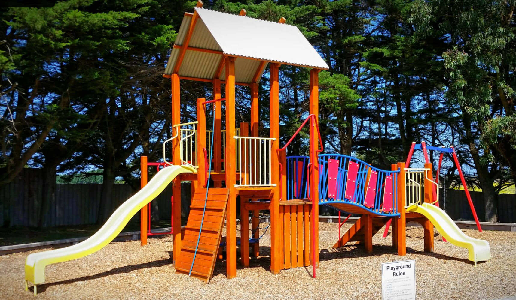
8 Amble Lane, Port Fairy, 3284, Victoria
0 reviews
Gum Tree Caravan Park
Gum Tree Caravan Park, nestled on the edge of the historic village of Port Fairy and just 300 metres from the Great Ocean Road, offers a variety of self-contained accommodation options and powered sites to suit different budgets. Th ...
Read More...
Category
Caravan Parks List
Facilities Available, , , , , , , , , , , , , ,
, , , , , , , , , , , , , ,
Camping Info,
0 reviews
Gunbower Recreational Reserve, located on Gunbower Island Road in Gunbower, is a Crown land reserve managed by a local committee. It serves as a community hub with various sporting facilities and offers a casual camping experience adjacent to the pictures ...
Read More...
Category
Free Camping
Facilities Available, , , ,
, , , ,
Camping Info
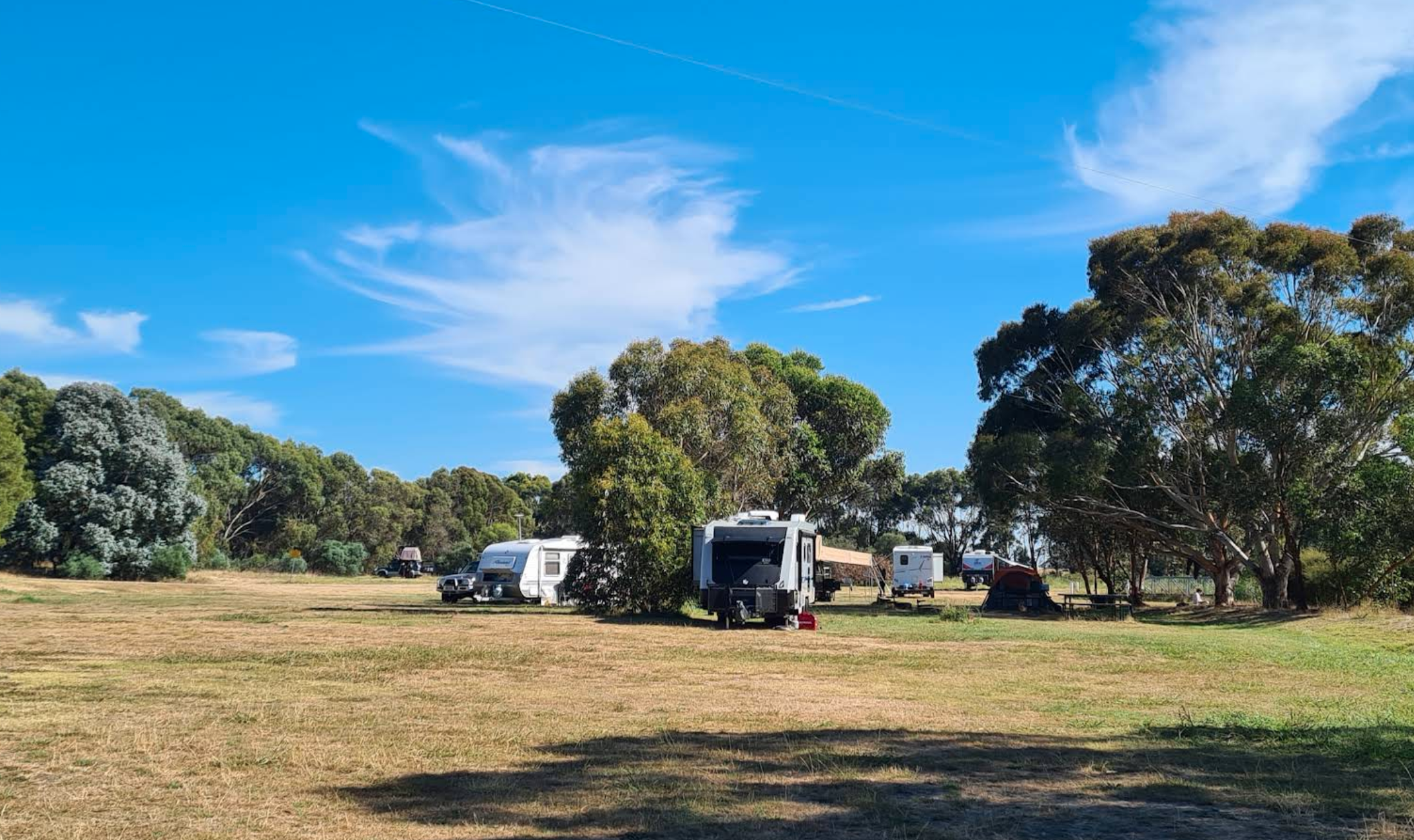
0 reviews
Your campsite donation can be paid at the local store using the envelopes provided.
Category
Camping Fees Apply
Facilities Available, , , , , , , ,
, , , , , , , ,
Camping Info,
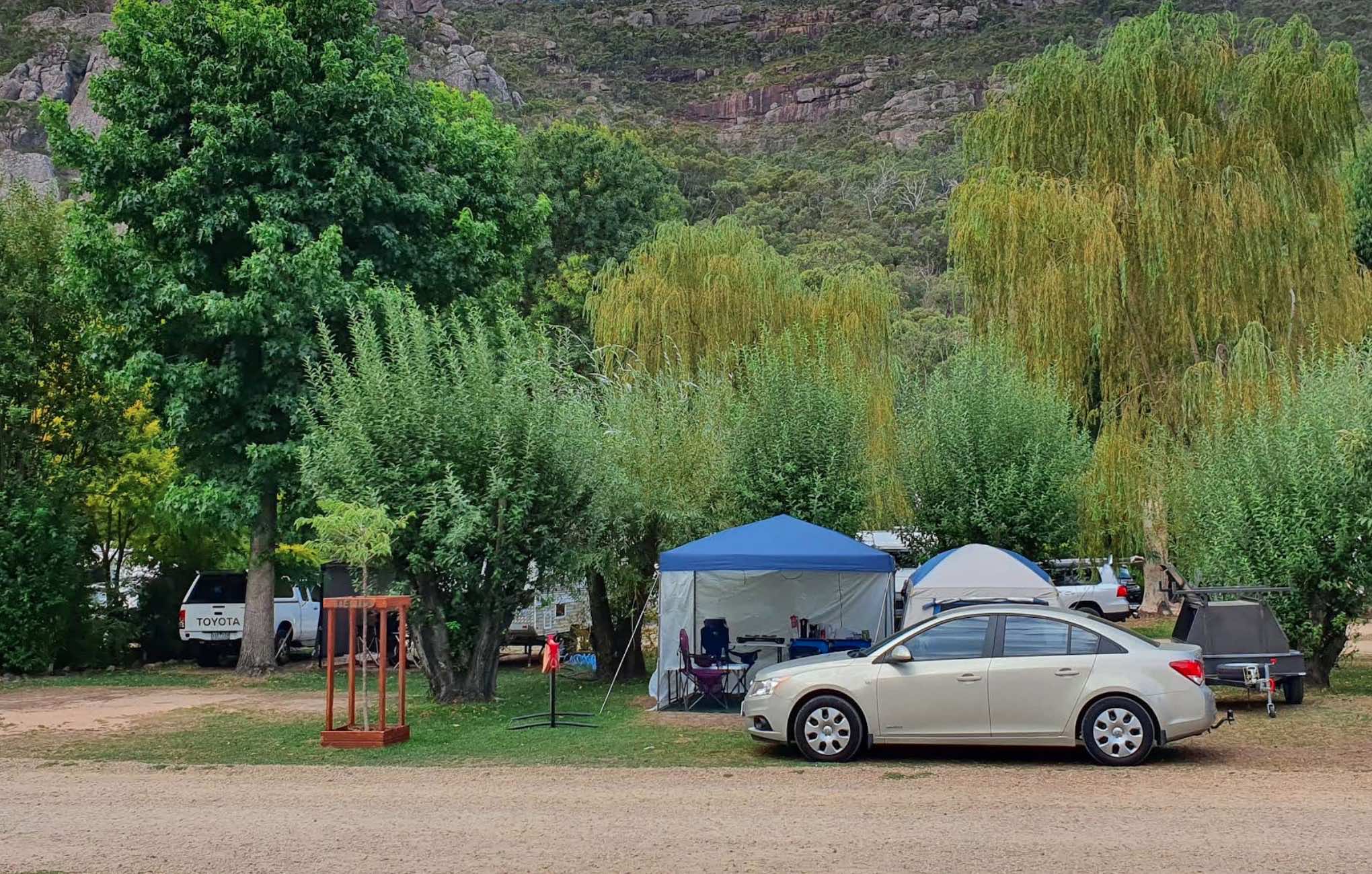
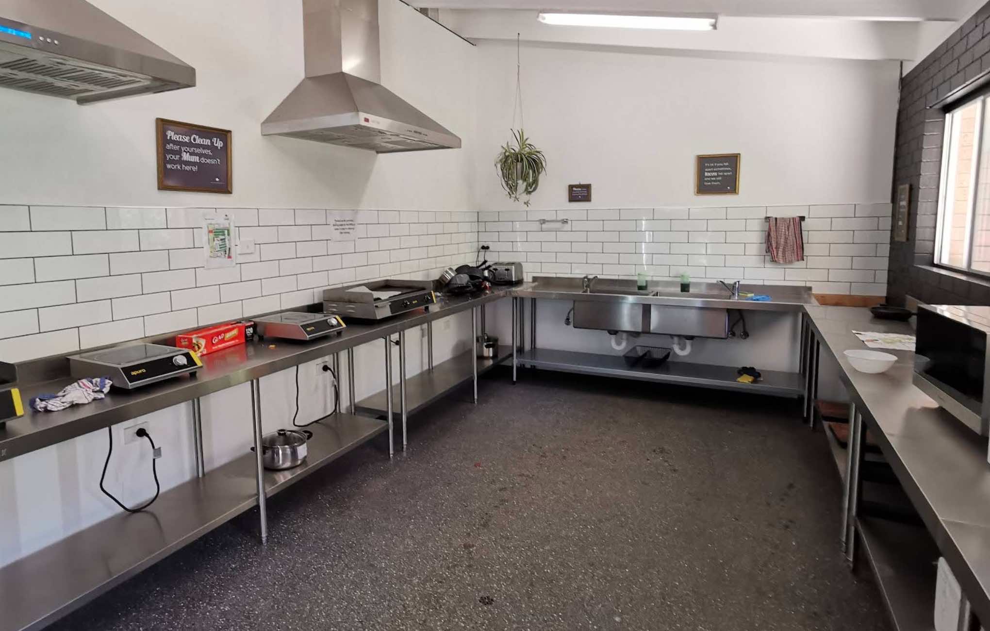
0 reviews
Halls Gap Lakeside Tourist Park
Halls Gap Lakeside Tourist Park is a family-owned tourist park set on nine hectares (22 acres) at the edge of the majestic Grampians National Park. It offers a tranquil, park-like setting teeming with native wildlife, incl ...
Read More...
Category
Caravan Parks List
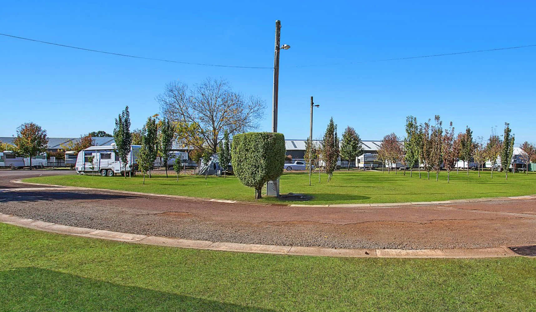
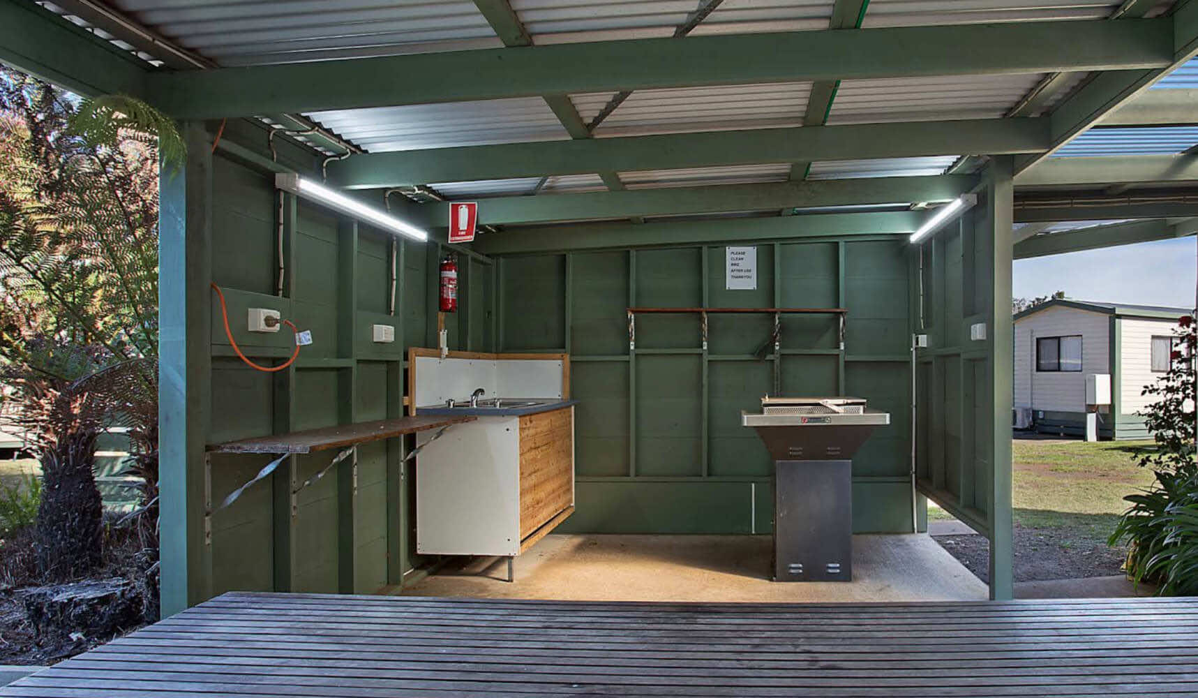
0 reviews
Hamilton Caravan Park
Hamilton Caravan Park, situated in Hamilton, Victoria, offers a range of cabin accommodations, from studio to three-bedroom options, catering to various group sizes. The park prides itself on its quiet and peaceful off-highway locat ...
Read More...
Category
Caravan Parks List
Facilities Available, , , , , , , , , ,
, , , , , , , , , ,
Camping Info
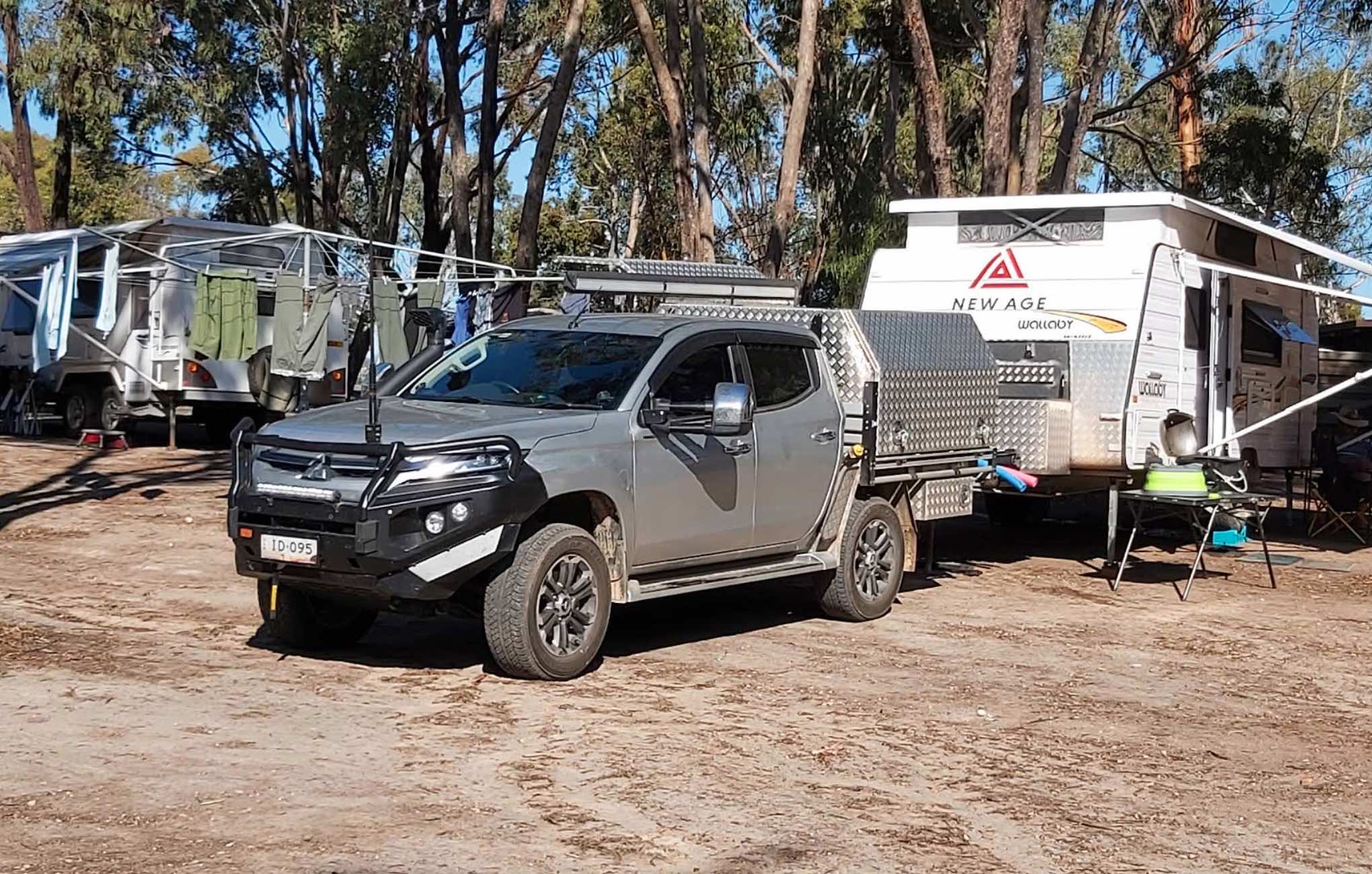
0 reviews
Happy Wanderer Holiday Resort
The Happy Wanderer Holiday Resort is a family-owned and operated caravan park and accommodation complex located in the heart of the Grampians National Park, in Halls Gap. Established in 1965, this resort has been a popular c ...
Read More...
Category
Caravan Parks List
Facilities Available, , , , , , , , , , , , ,
, , , , , , , , , , , , ,
Camping Info
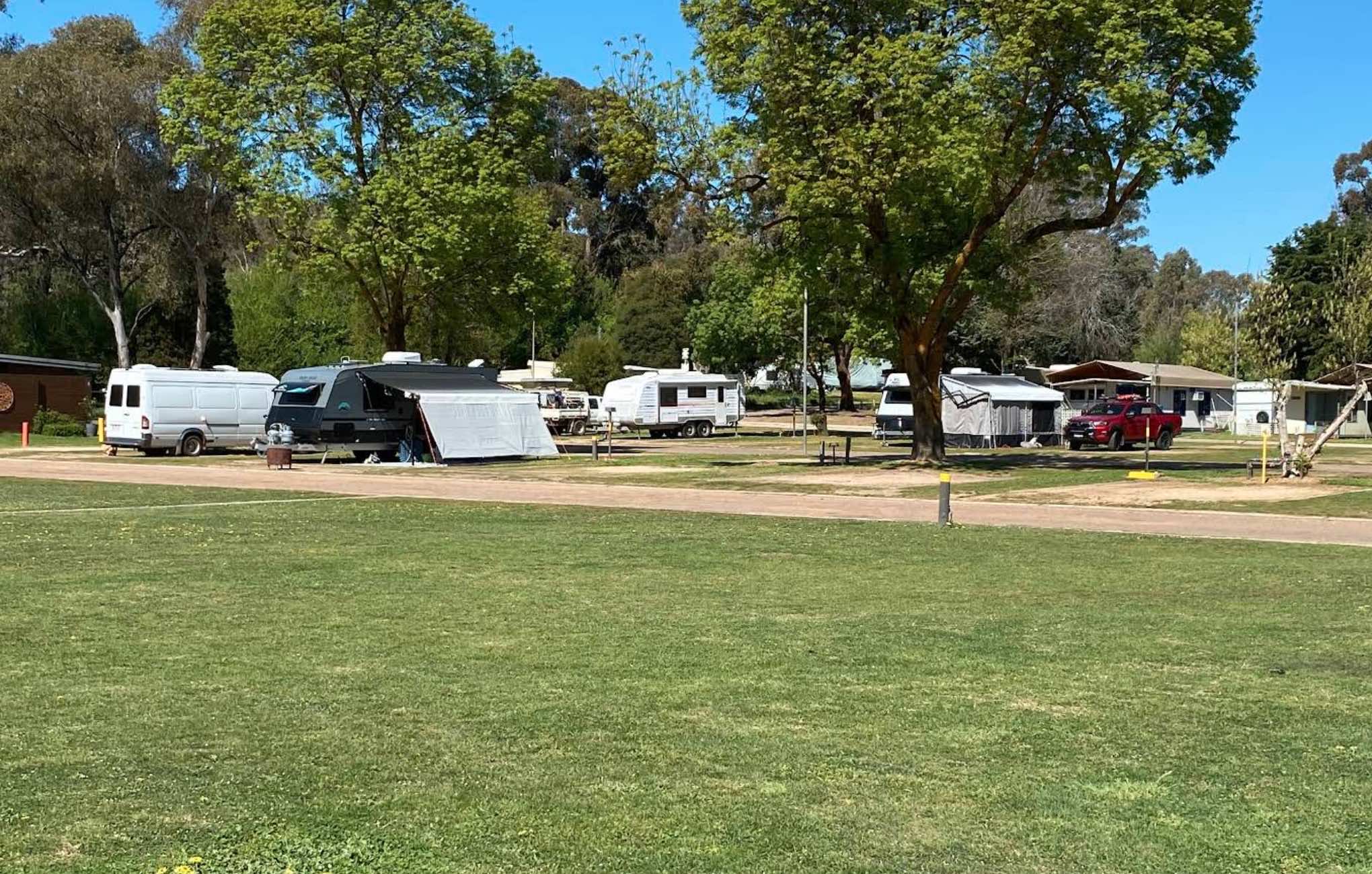
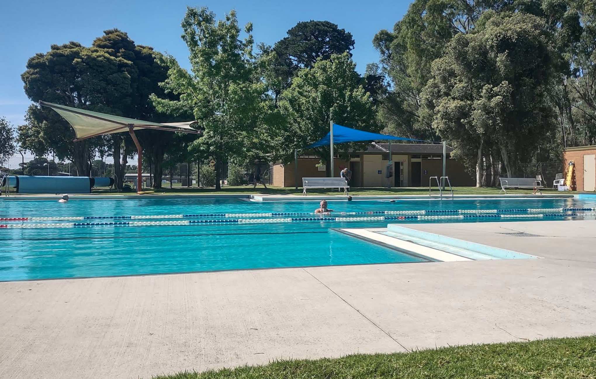
0 reviews
Heathcote Queen Meadow Caravan Park
Nestled at the foot of the picturesque McIvor Ranges, Heathcote Queen Meadow Caravan Park is a peaceful, 10-acre park offering a relaxed and natural setting in the heart of Victoria's Heathcote wine region. This friend ...
Read More...
Category
Caravan Parks List
Facilities Available, , , , , , , , , , , , , ,
, , , , , , , , , , , , , ,
Camping Info
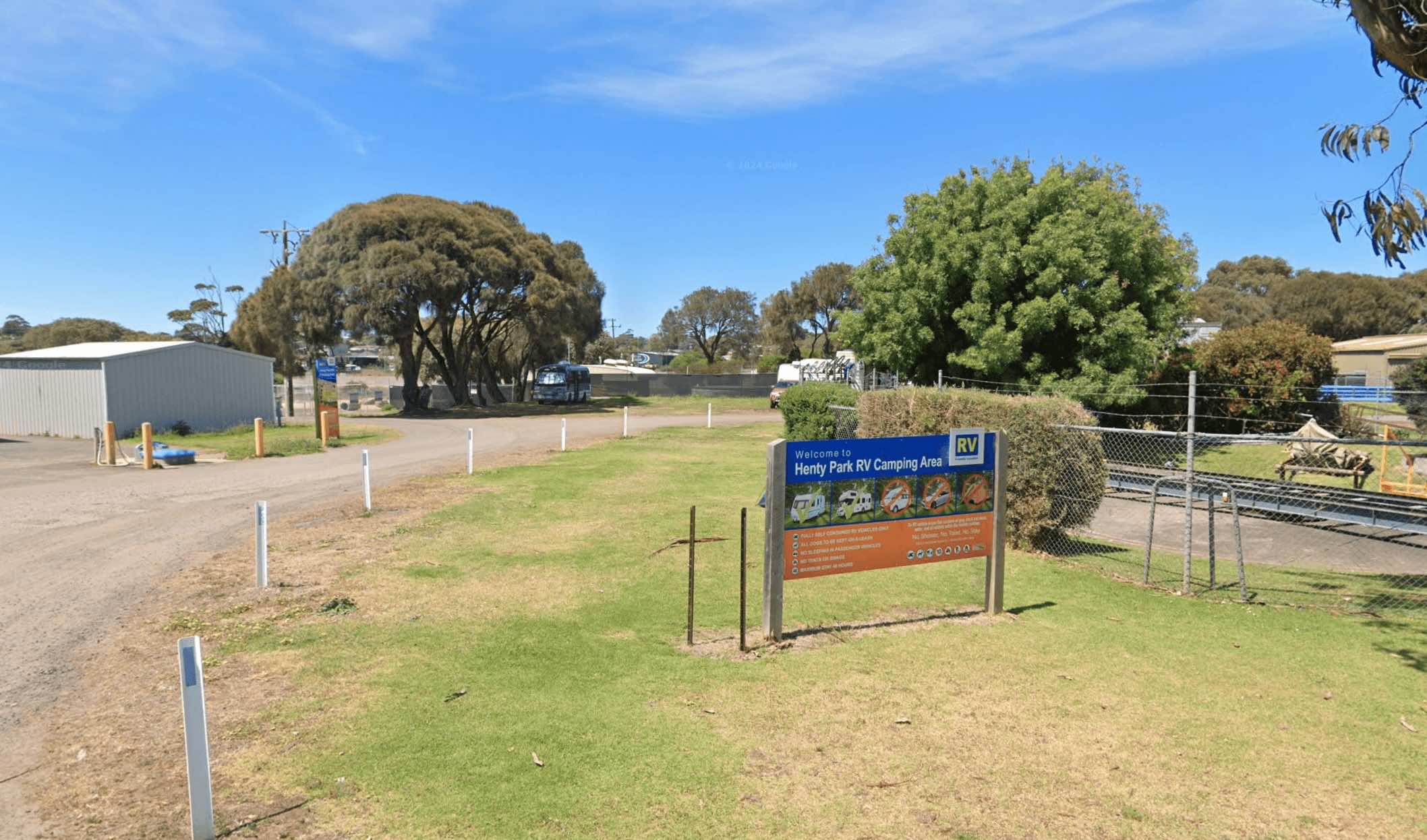
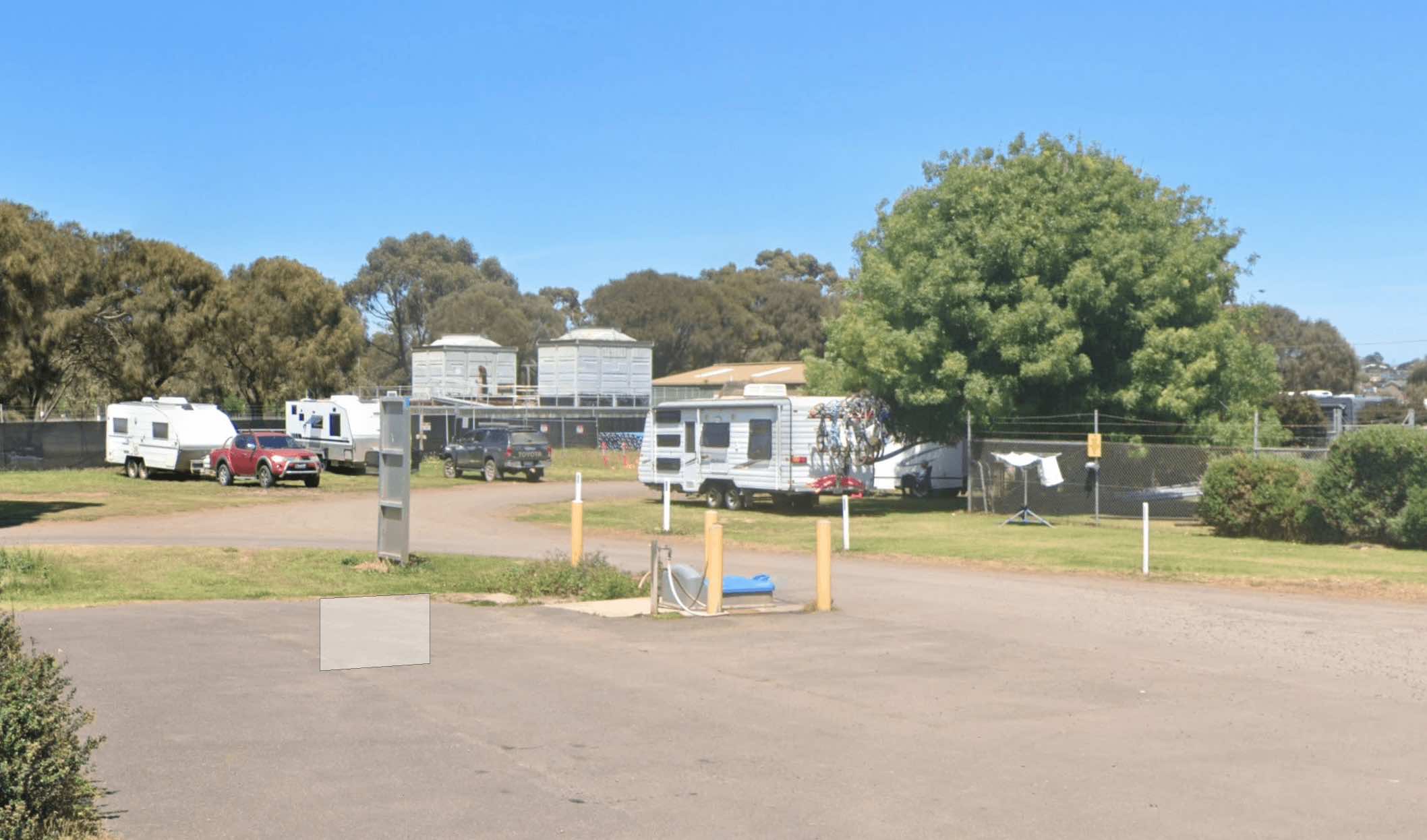
0 reviews
Henty Park in Portland, Victoria, is a notable recreational area that includes a designated RV camping area. It is located near the town centre and the foreshore, making it a convenient spot for visitors to explore Portland. The park itself features sport ...
Read More...
Facilities Available, , , ,
, , , ,
Camping Info, , ,
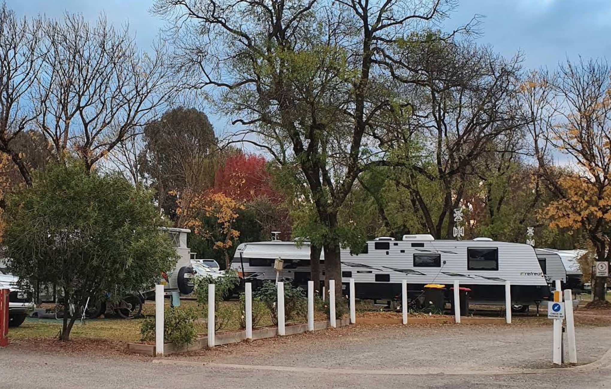
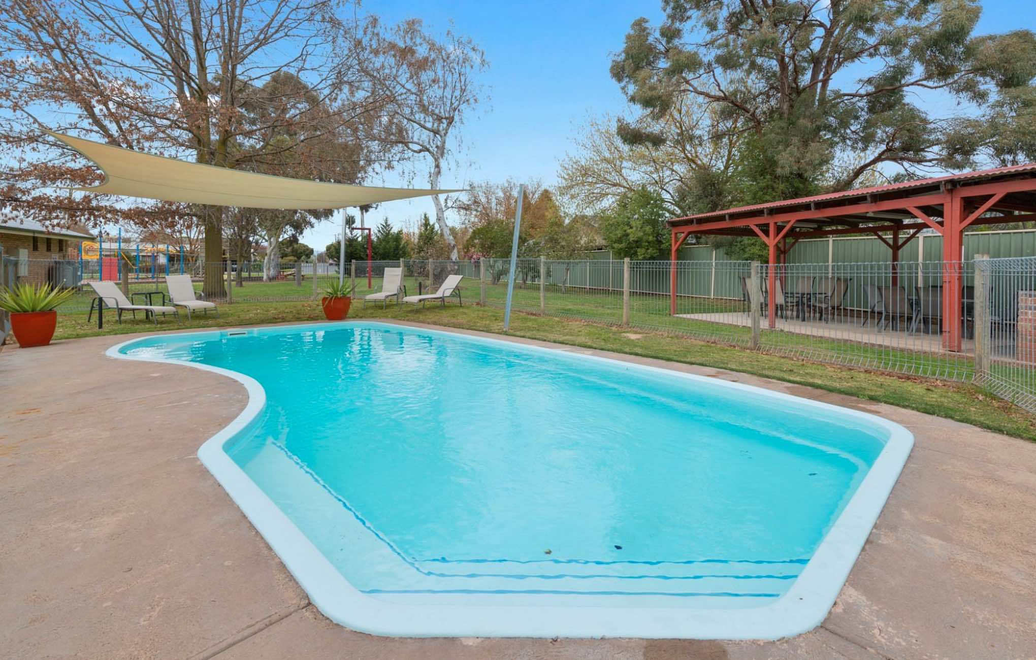
0 reviews
High Country Holiday Park
High Country Holiday Park offers a welcoming retreat in Mansfield, Victoria, ideally situated for exploring the stunning High Country region. This holiday park provides a variety of accommodation options, from comfortable cabins ...
Read More...
Category
Caravan Parks List
Facilities Available, , , , , , , , , , , , , , , ,
, , , , , , , , , , , , , , , ,
Camping Info
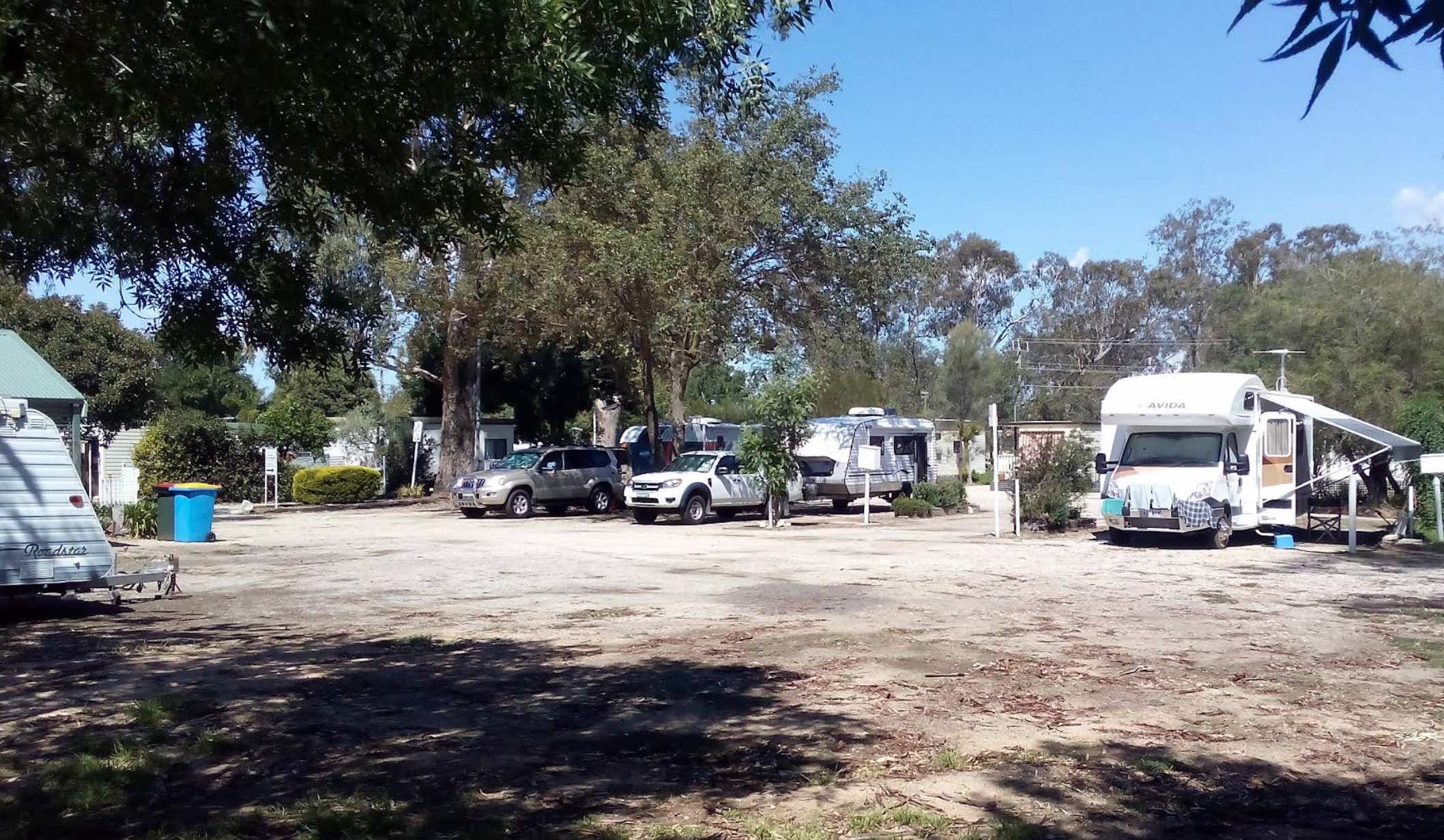
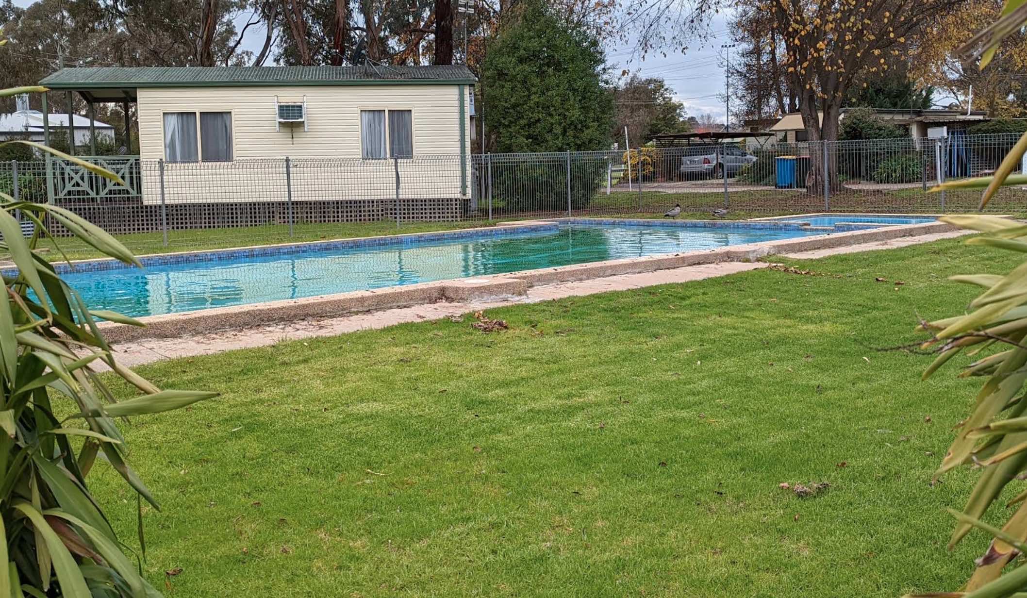
0 reviews
Highlands Caravan Park
Highlands Caravan Park is located at 33 Emily Street, Seymour, Victoria, 3660, offering a welcoming and friendly atmosphere in Central Victoria and the Goulburn Valley. Situated just an hour's drive from Melbourne, Bendigo, and She ...
Read More...
Category
Caravan Parks List
Facilities Available, , , , , , , , , ,
, , , , , , , , , ,
Camping Info,
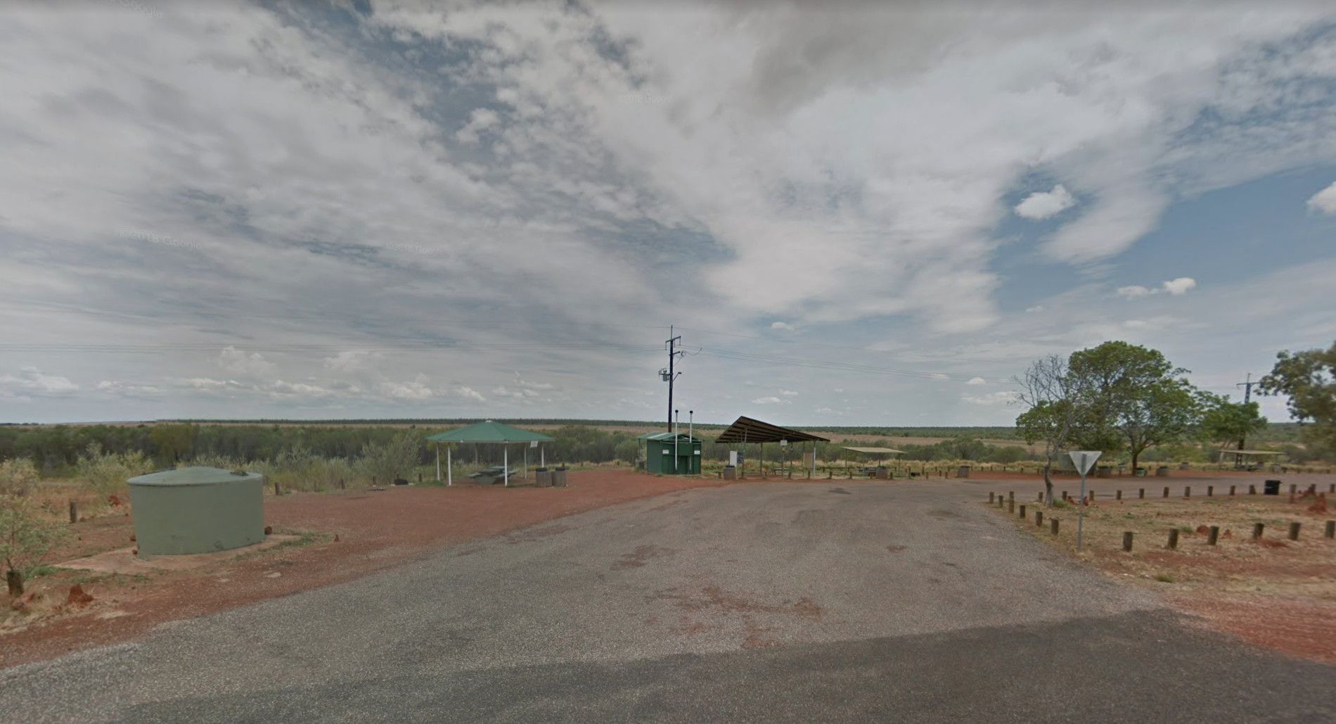
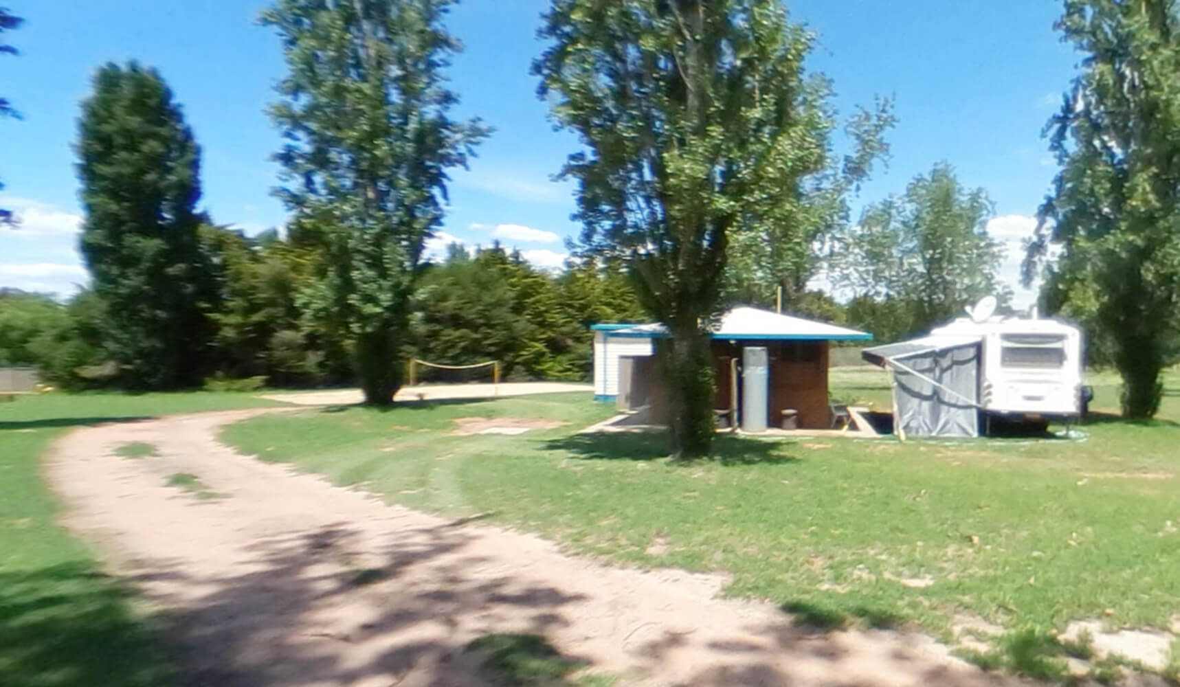
0 reviews
Hilltop Resort
Hilltop Resort, located at 659 Murray Valley Highway near Swan Hill, Victoria, 3585, is a spacious and peaceful motel and caravan park set on 35 acres. Situated just a 5-minute drive north of Swan Hill town centre, it offers a quiet, off-h ...
Read More...
Category
Caravan Parks List
Facilities Available, , , , , , , , , , , ,
, , , , , , , , , , , ,
Camping Info
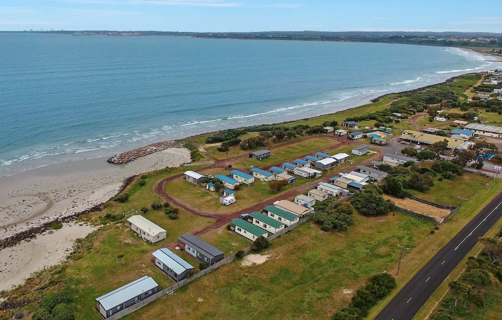
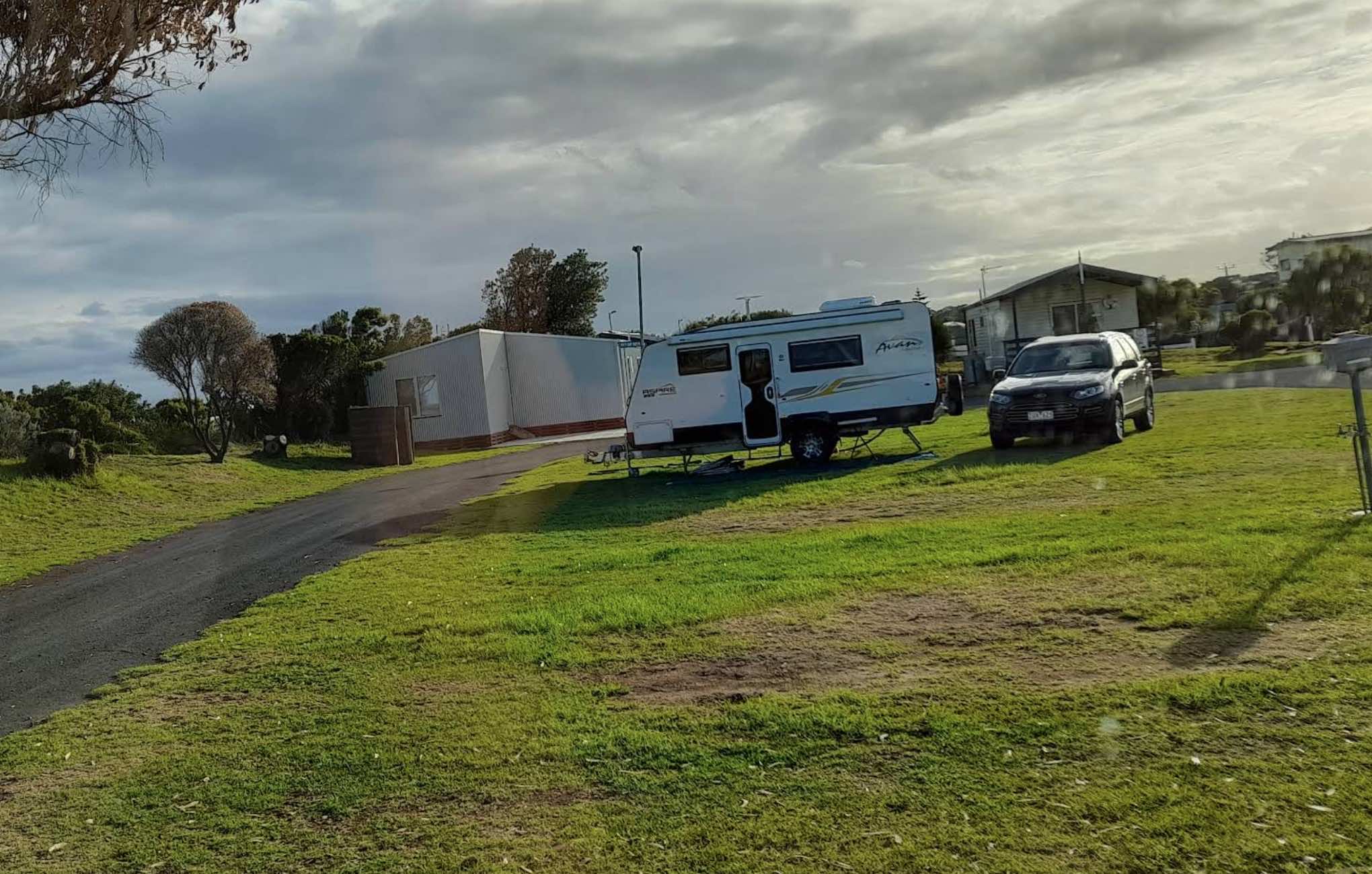
0 reviews
Holiday Lifestyle Henty Bay
Holiday Lifestyle Henty Bay (also known as Henty Bay Beachfront Holiday Park) offers a tranquil and spacious beachfront escape just a short drive from Portland, the western gateway to the Great Ocean Road. Set on 10 acres of p ...
Read More...
Category
Caravan Parks List
Facilities Available, , , , , , , , , , , , , , , ,
, , , , , , , , , , , , , , , ,
Camping Info
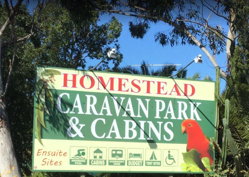
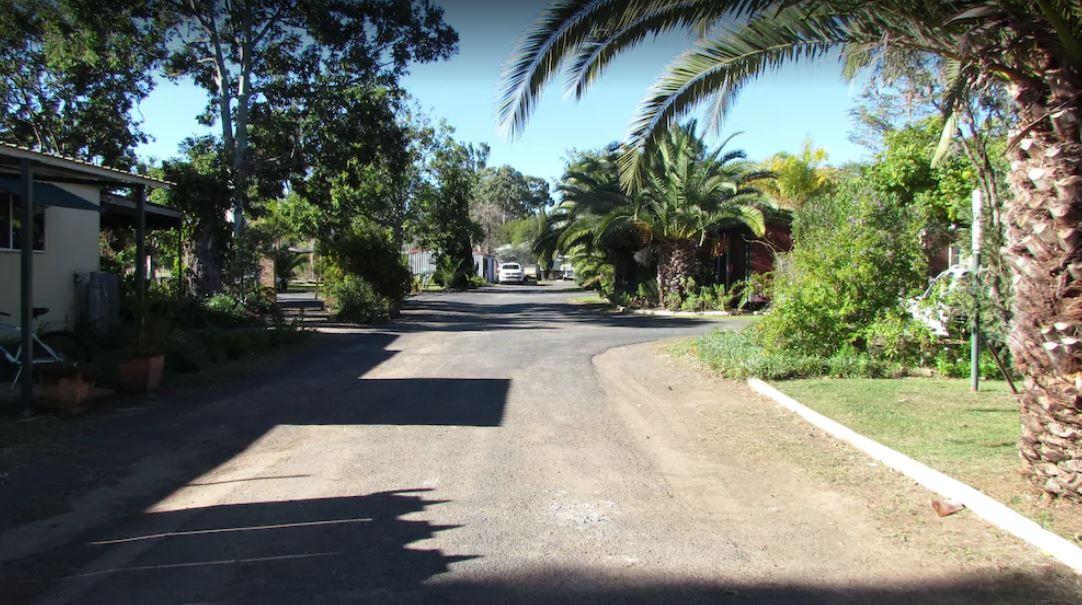
0 reviews
The Homestead Caravan Park and Cabins is an older style caravan park situated on 7 acres. They have a camp kitchen, laundry facilities, covered bbq area, and hey have added a new salt water swimming pool and games area, there are also Powered Ensuite Site ...
Read More...
Category
Caravan Parks
Facilities Available, , , , , , , , , , ,
, , , , , , , , , , ,
Camping Info
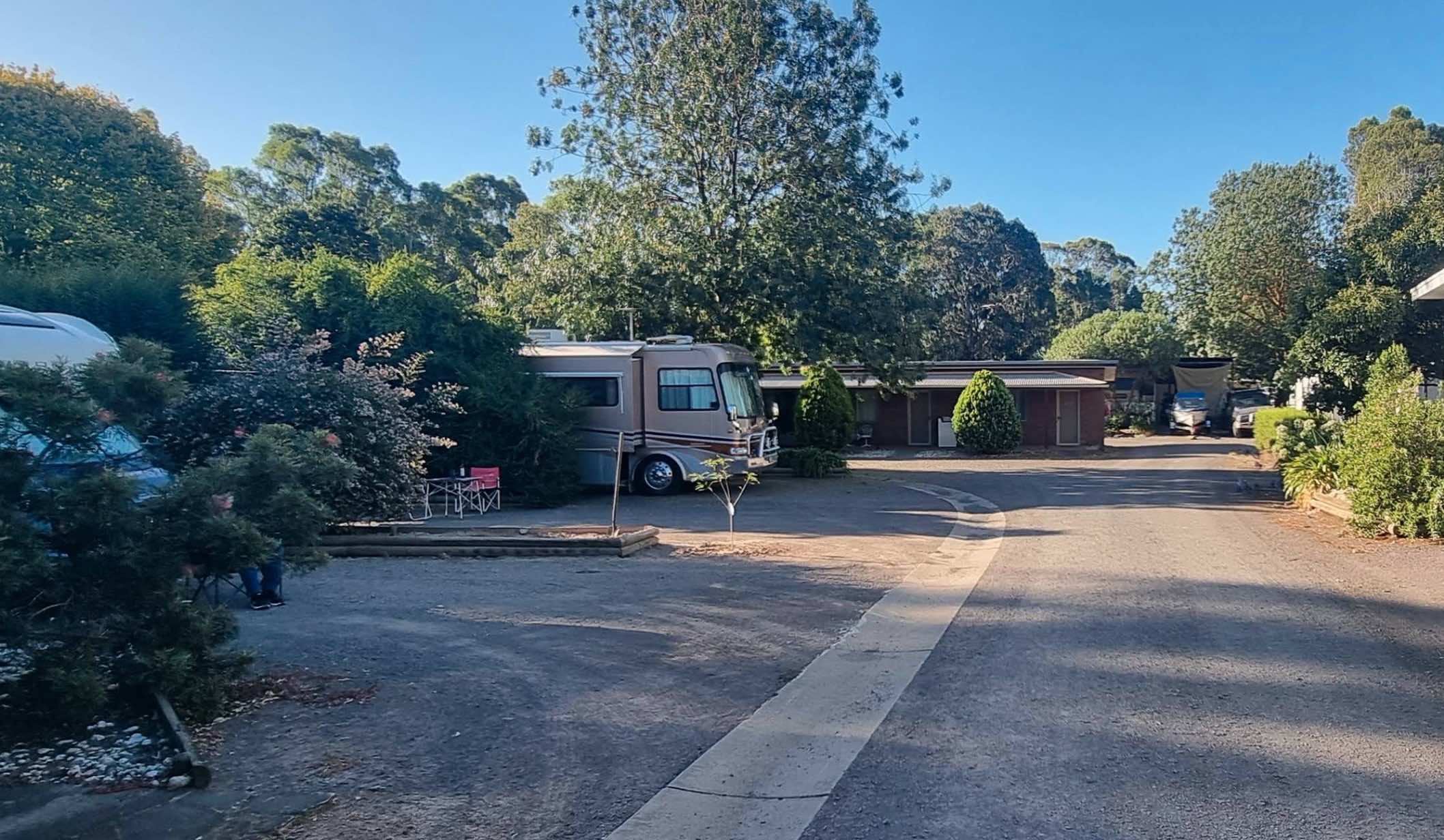
154 High Street, Violet Town, 3669, Victoria
0 reviews
Honeysuckle Caravan Village
Honeysuckle Caravan Village is a smaller, well-maintained park located in Violet Town, Victoria. Easily accessible from the Hume Freeway, it offers a quiet rural environment ideal for overnight stays or longer visits. The park ...
Read More...
Category
Caravan Parks List
Facilities Available, , , , , , ,
, , , , , , ,
Camping Info
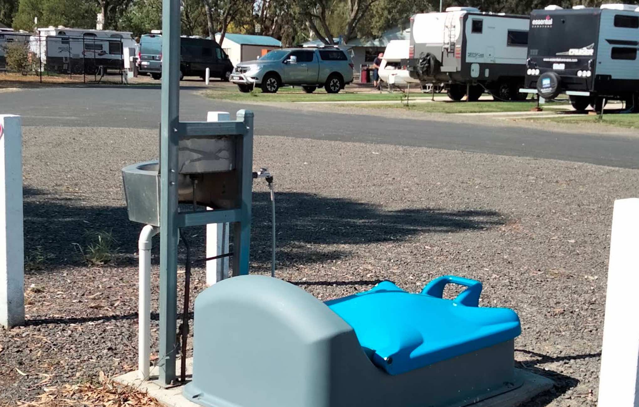
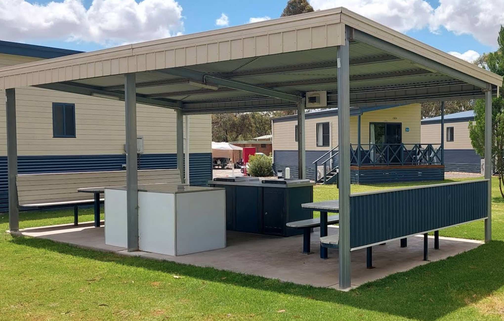
0 reviews
Horsham Riverside Caravan Park
Horsham Riverside Caravan Park offers a tranquil and convenient stay on the picturesque banks of the Wimmera River, adjacent to the Horsham Botanical Gardens. It's an ideal choice for travellers seeking accommodation in Hor ...
Read More...
Category
Caravan Parks List
Facilities Available, , , , , , , , , , , , , ,
, , , , , , , , , , , , , ,
Camping Info
0 reviews
Nestled along McBryde Street in the heart of Horsham, Victoria, the Horsham Showground offers a convenient and comfortable camping experience with all the essentials. Ideal for travellers, grey nomads, and event-goers alike, this campsite provides two sep ...
Read More...
Category
Camping Fees Apply
Facilities Available, , , , , , ,
, , , , , , ,
Camping Info
0 reviews
Howqua Valley Holiday Park
Howqua Valley Holiday Park is a picturesque lakeside retreat nestled on the shores of Lake Eildon, within Victoria's stunning High Country. Offering breathtaking views of the Howqua Valley, this family-friendly park provides a ...
Read More...
Category
Caravan Parks List
Facilities Available, , , , , , , , , , , , , ,
, , , , , , , , , , , , , ,
Camping Info
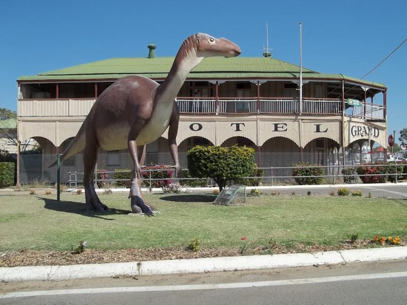
0 reviews
Pull off the main road on the outskirts of town at the Hughenden Rotary Rest Area, walk or ride your bike to Brodie Street, the main shopping centre for Hughenden, pop over and take a meal next to the dinosaur.
Category
Rest Areas
Facilities Available, , , , ,
, , , , ,
Camping Info
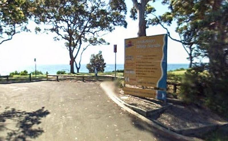
0 reviews
The Ilford Rest Area is just off the main highway, not a lot to do here, apart from rest and refresh, before heading on your way. There are public toilets, picnic tables, rubbish bins and tank water with room to park your caravan under a few shade trees.
Category
Rest Areas
Facilities Available, , , ,
, , , ,
Camping Info
0 reviews
The Illabo Rest Area is located opposite the Illabo Pub, the rest area has a public toilet undercover picnic tables, rubbish bins and plenty of room to park your caravan.
Category
Rest Areas
Facilities Available, , , ,
, , , ,
Camping Info
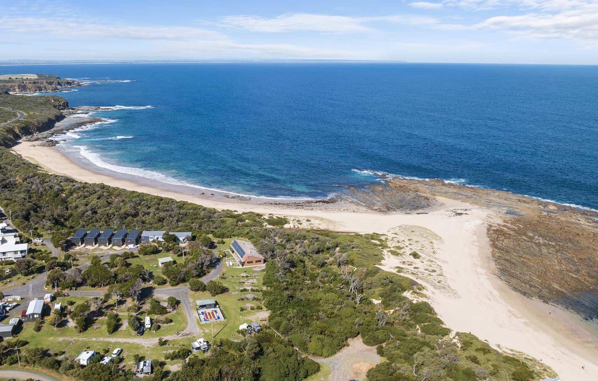
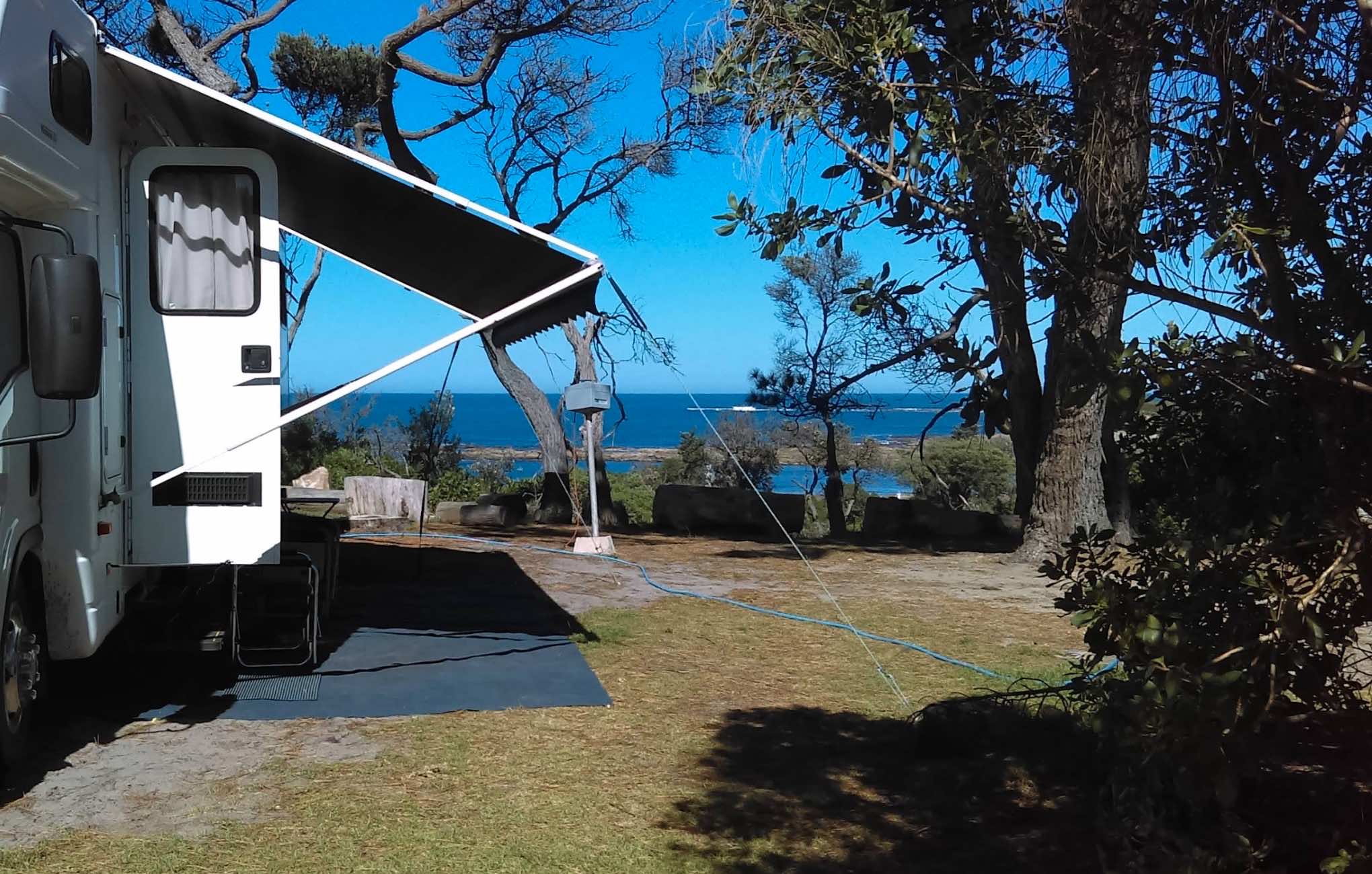
1 Surf Beach Road, Cape Paterson, 3995, Victoria
0 reviews
Ingenia Holidays Cape Paterson
Ingenia Holidays Cape Paterson (Formerly Cape Paterson Foreshore Caravan Park): Coastal Bliss in South Gippsland
Nestled directly along the foreshore reserve of the charming seaside village of Cape Paterson, Ingenia Holida ...
Read More...
Category
Caravan Parks List
Facilities Available, , , , , , , , , ,
, , , , , , , , , ,
Camping Info
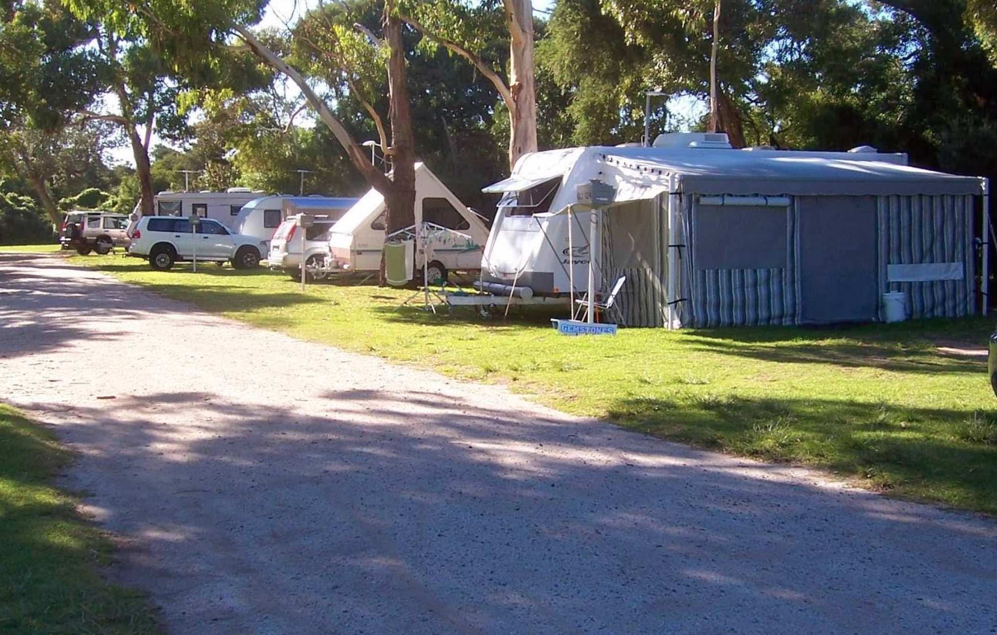
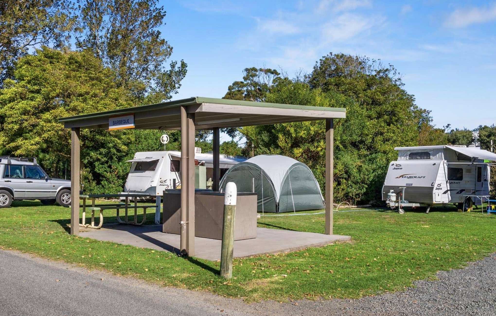
0 reviews
Inverloch Foreshore Camping (Managed by Ingenia Holidays)
Inverloch Foreshore Camping, now managed by Ingenia Holidays, offers an idyllic beachfront camping experience nestled along the sand dunes of Anderson Inlet in Inverloch, Victoria. It's a popular ...
Read More...
Category
Caravan Parks List
Facilities Available, , , , , , , ,
, , , , , , , ,
Camping Info

1165 Frankston Dandenong Road, Carrum Downs, 3201, Victoria
0 reviews
Ingenia Rental Carrum Downs: Flexible Living and Convenient Stays
Ingenia Rental Carrum Downs offers a unique blend of affordable rental accommodation and convenient short-term stays, situated in Melbourne's south-eastern suburbs. While primarily designe ...
Read More...
Category
Caravan Parks List
Facilities Available, , , , , , , , , , ,
, , , , , , , , , , ,
Camping Info
0 reviews
From the Ingomar Rest Area there is a lot of nothing to look at from a fairly level area that's not too far from the highway, with an undercover picnic table, it's a place to stop if you need a break.
Category
Rest Areas
Facilities Available,
,
Camping Info
0 reviews
The Isla Gorge National Park Campground is a little rocky so just a little extra care when setting up, if you tow a caravan, be aware it can be a bit of a tight squeeze to position your van into a suitable camping spot. There is a long drop toilet, underc ...
Read More...
Category
Camping Fees Apply
Facilities Available, ,
, ,
Camping Info,
Calder Highway, Wedderburn, 3518, Victoria
0 reviews
Wedderburn is a rural town located in Victoria, Australia on the Calder Highway, 214 kilometres north of Victoria's capital city, Melbourne. At the 2006 census, Wedderburn had a population of 704. It is mainly a farming community but its early residents w ...
Read More...
Category
Rest Areas
Facilities Available, , , , , ,
, , , , , ,
Camping Info
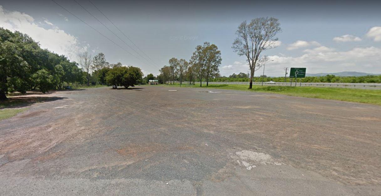
Warrego Highway, Helidon Spa, 4344, Queensland
0 reviews
Category
Rest Areas
Facilities Available, , , , , , ,
, , , , , , ,
Camping Info
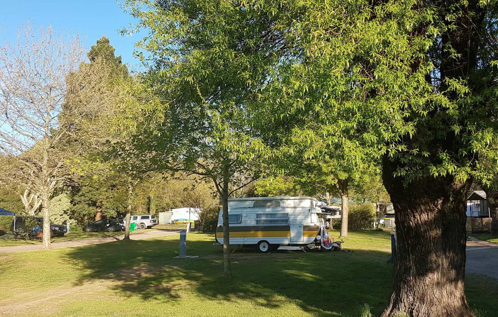
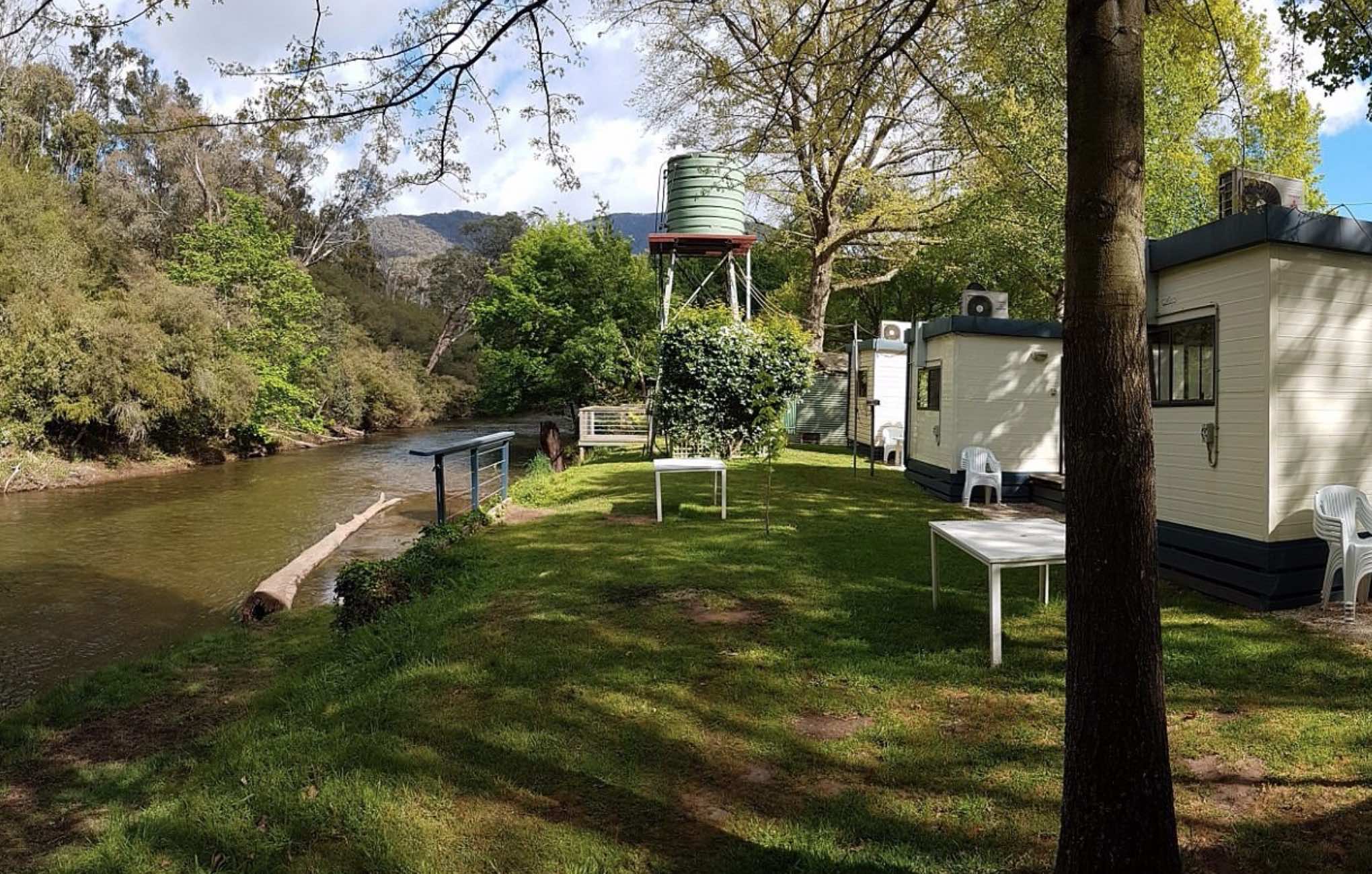
0 reviews
Jamieson Caravan Park
Nestled in the heart of the picturesque Victorian High Country, Jamieson Caravan Park offers a tranquil escape on the banks of the Jamieson River. It's an ideal base for outdoor enthusiasts, offering easy access to fishing, hiking, ...
Read More...
Category
Caravan Parks List
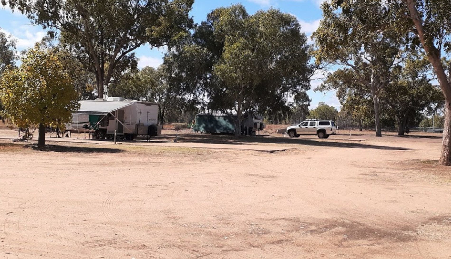
0 reviews
Camping at the Jericho Showgrounds has nice level spots with power and water and showers with fees payable via Honesty Box. Sites with Power and Water are limited, so be early if you need them. Hot Showers are also available.
Category
Camping Fees Apply
Facilities Available, , , , , ,
, , , , , ,
Camping Info
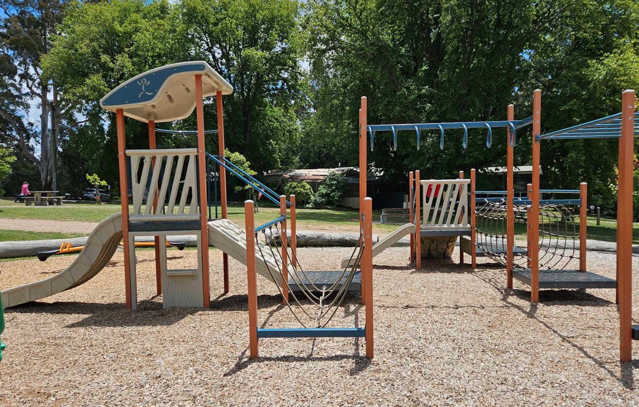
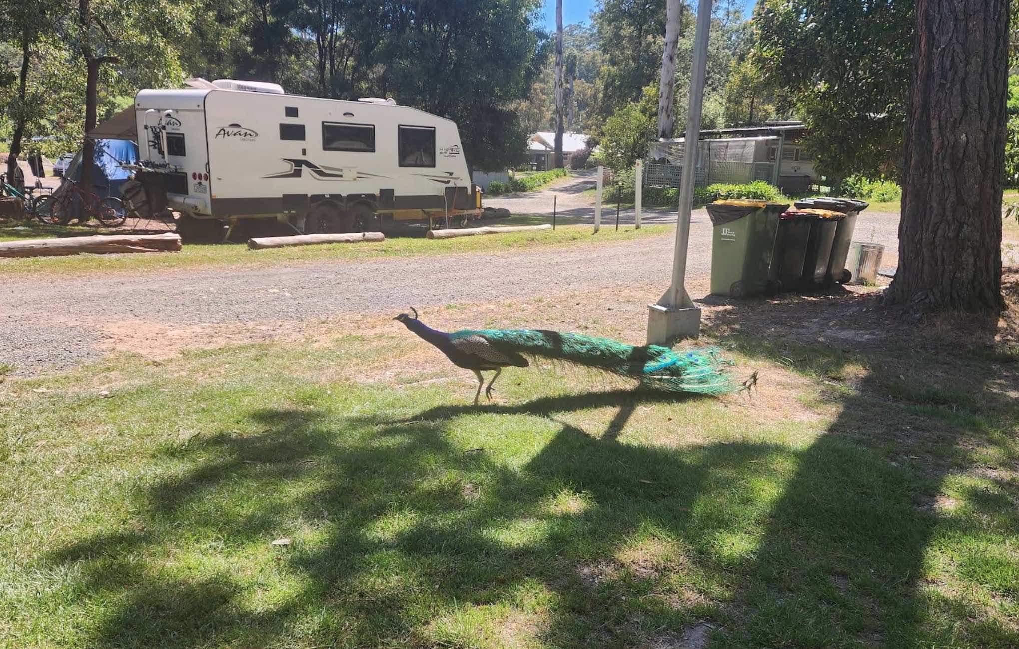
151 Lake Road, Daylesford, 3460, Victoria
0 reviews
Jubilee Lake Holiday Park & Cafe
Jubilee Lake Holiday Park is a beautiful, rustic, family and pet-friendly bush park located in Victoria's famous spa country, just 2.5km from Daylesford. Situated on the picturesque Jubilee Lake, it offers a peaceful ...
Read More...
Category
Caravan Parks List
Facilities Available, , , , , , , , , , , ,
, , , , , , , , , , , ,
Camping Info
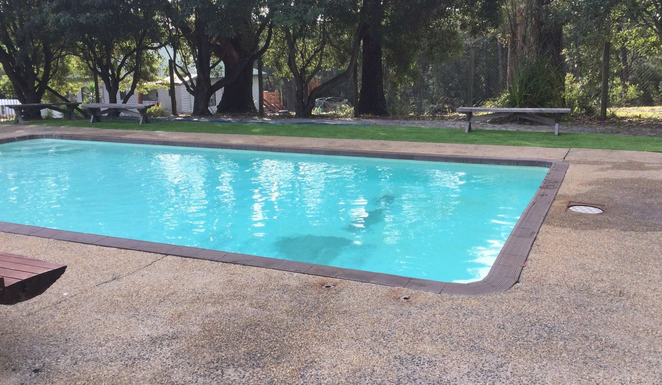
0 reviews
Jungle Beach Caravan Park
Jungle Beach Caravan Park is a hidden gem offering a serene and natural camping experience right on the beachfront. It's a fantastic spot for those who love the beach and a relaxed atmosphere. The park provides direct beach ac ...
Read More...
Category
Caravan Parks List
Facilities Available, , , , , , ,
, , , , , , ,
Camping Info
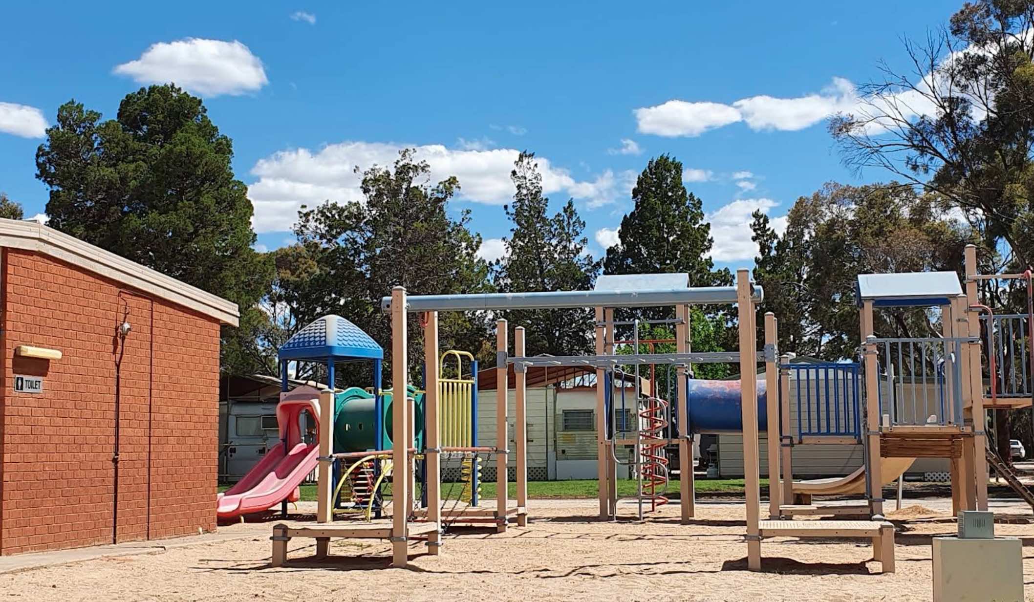
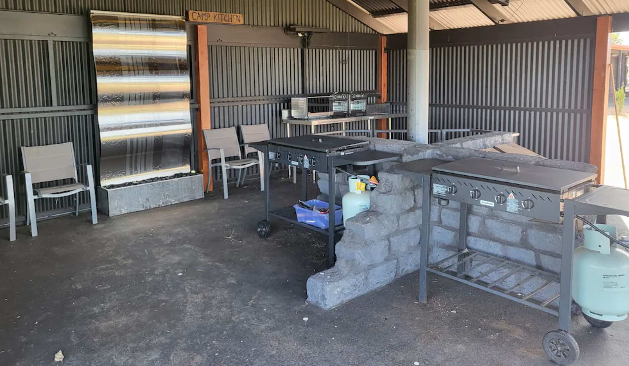
2625 Murray Valley Highway, Mystic Park, 3579, Victoria
0 reviews
Kangaroo Lake C&C Cabin & Caravan Park Motel
Kangaroo Lake C&C Cabin & Caravan Park Motel offers a relaxed and friendly atmosphere right on the shores of picturesque Kangaroo Lake. Located in the heart of Victoria's diverse and productive ...
Read More...
Category
Caravan Parks List
Facilities Available, , , , , , , , ,
, , , , , , , , ,
Camping Info
5 Moss Vale Road, Kangaroo Valley, 2577, New South Wales
0 reviews
Category
Caravan Parks
Facilities Available, , , , , , , , , , , ,
, , , , , , , , , , , ,
Camping Info
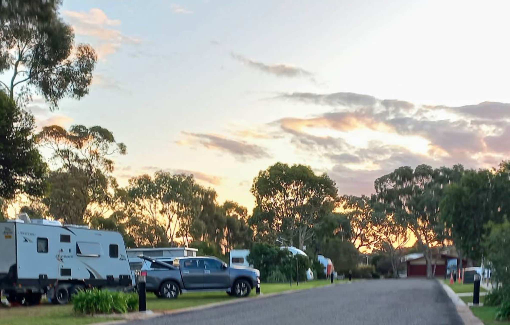
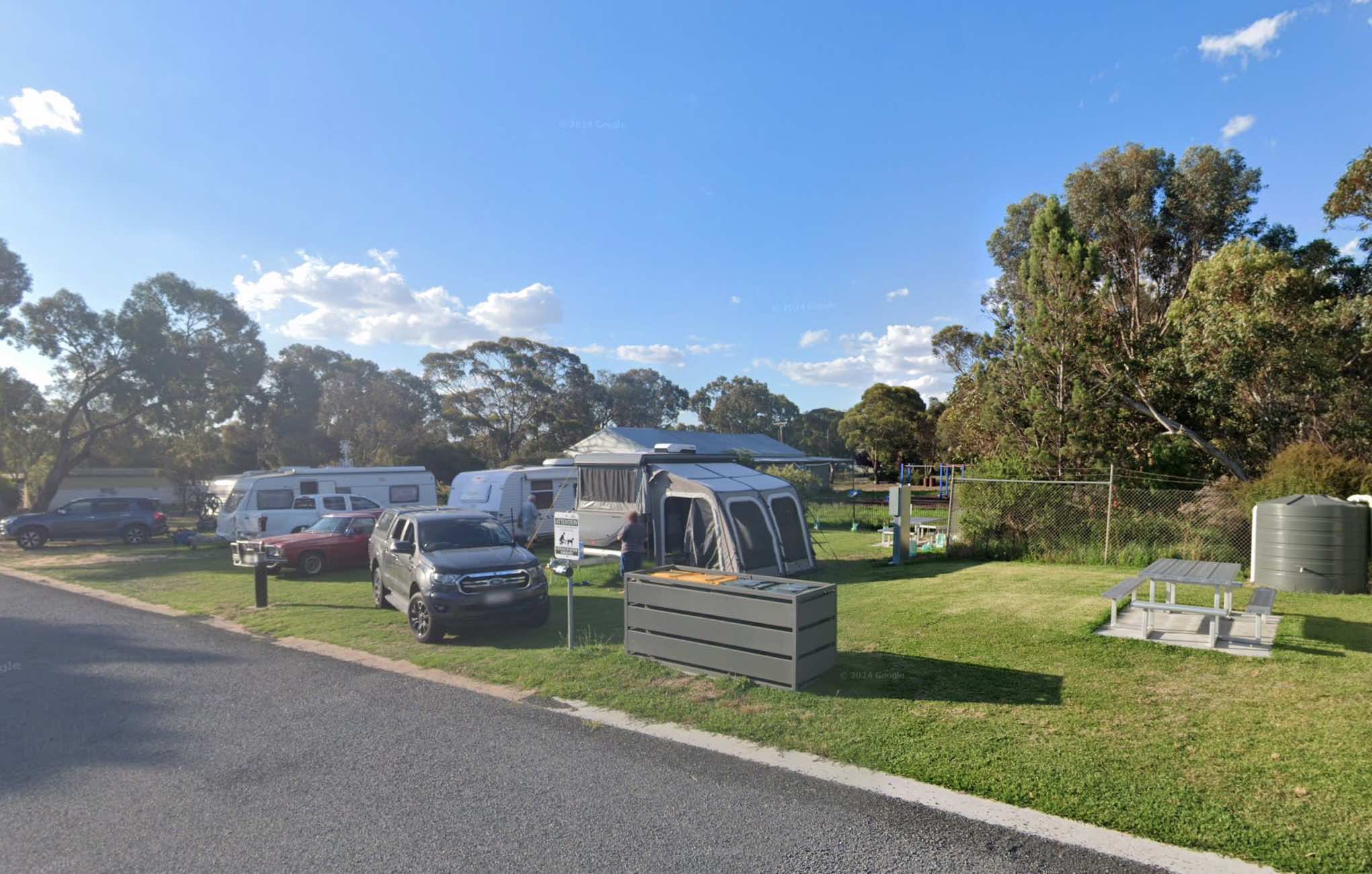
0 reviews
Kaniva Poolside Caravan Park
Kaniva Poolside Caravan Park offers a peaceful and convenient stopover for travellers on the Western Highway, midway between Melbourne and Adelaide. As a council-run park, it prides itself on its clean, modern facilities and ...
Read More...
Category
Caravan Parks List
Facilities Available, , , , , , , , , , ,
, , , , , , , , , , ,
Camping Info
Eyre Highway, Mundrabilla, 6443, Western Australia
0 reviews
The Kathala Pass Rest Area is set back approximately 620 meters from the Eyre Highway, with two large undercover water tanks. There is also a bit of shade beside these tanks for a picnic break, and room to park your van back a bit from here.
Category
Rest Areas
Facilities Available,
,
Camping Info
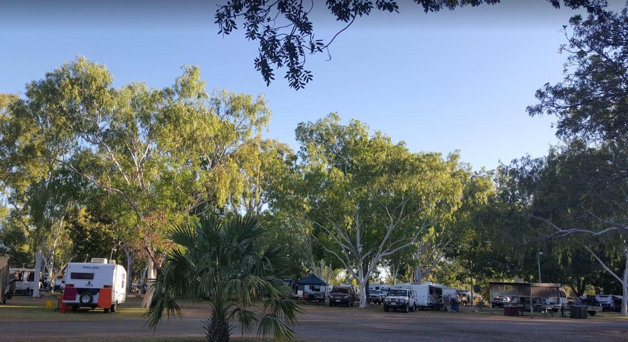
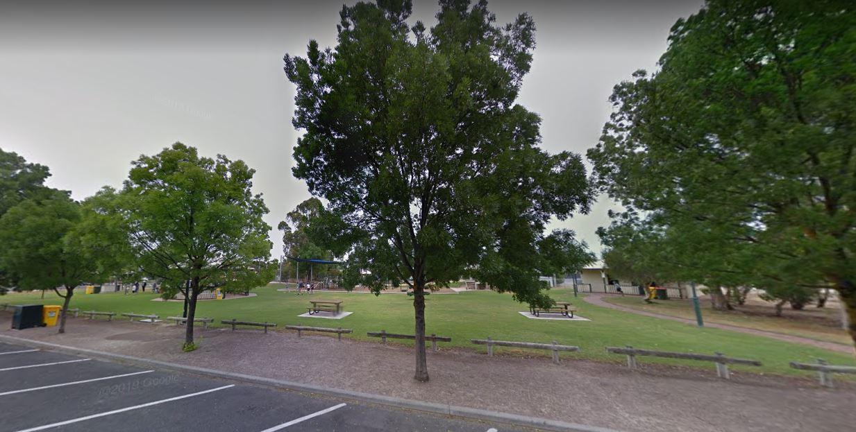
0 reviews
The Keith Park Rest Area is a rather large park that spans both sides of the road, with plenty of picnic tables to chooses from.
Category
Rest Areas
Facilities Available, , , , , ,
, , , , , ,
Camping Info
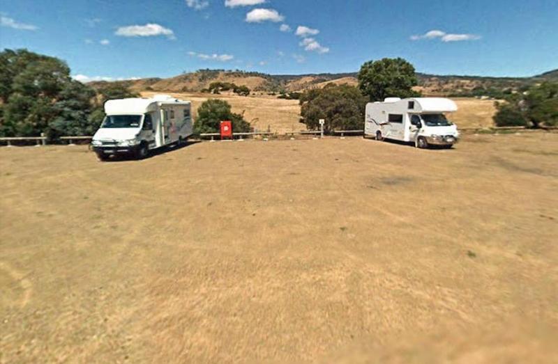
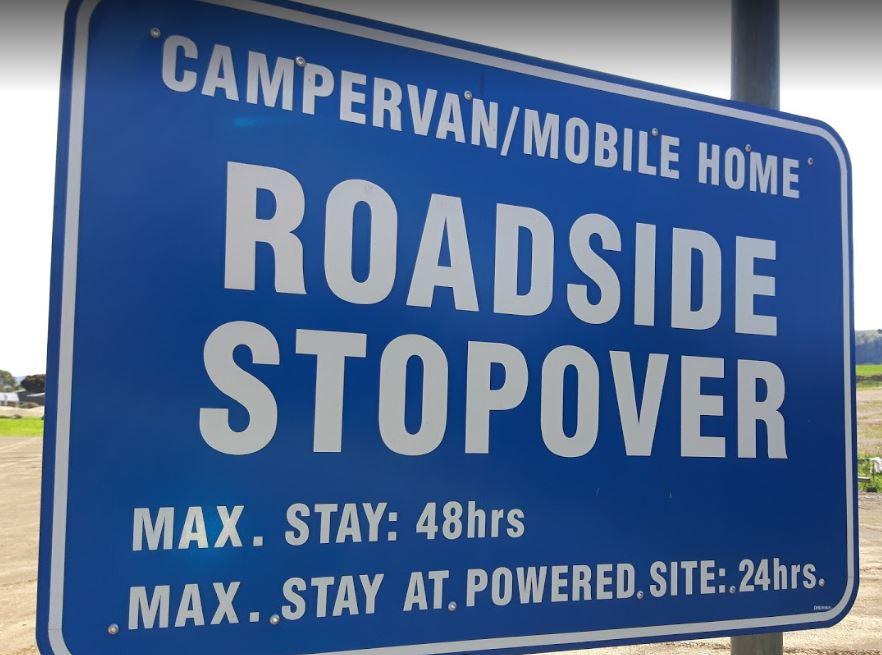
0 reviews
From the Kempton Rest Area you can take a short walk or get your bikes off the back of the van, and have a short sightseeing trip around town, then settle in for the night.
There is a Tavern with meals and takeaways within walking distance and that the K ...
Read More...
Category
Rest Areas
Facilities Available, , , , ,
, , , , ,
Camping Info, ,
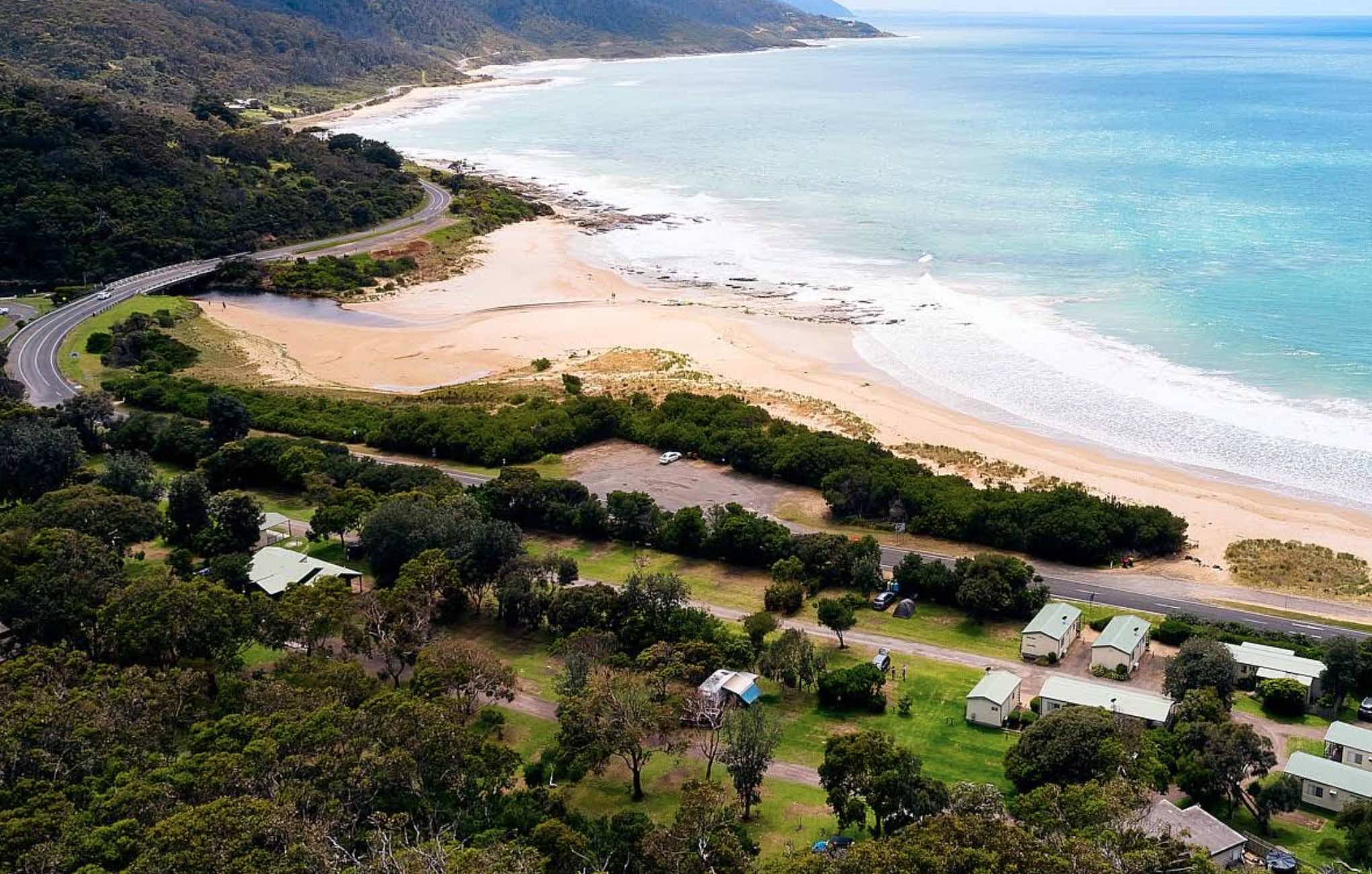
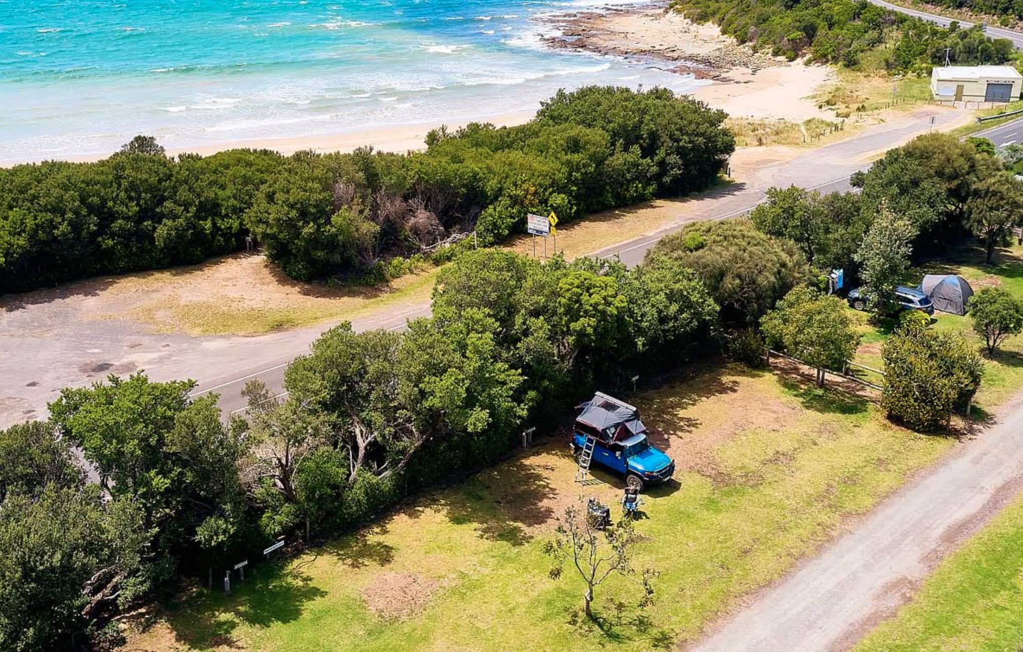
13 Great Ocean Road, Kennett River, 3221, Victoria
0 reviews
Kennett River Family Caravan Park
Kennett River Family Caravan Park offers an idyllic escape nestled on the spectacular Great Ocean Road, halfway between Lorne and Apollo Bay. This peaceful, family-friendly park is perfectly positioned just metres from t ...
Read More...
Category
Caravan Parks List
Facilities Available, , , , , , , , ,
, , , , , , , , ,
Camping Info
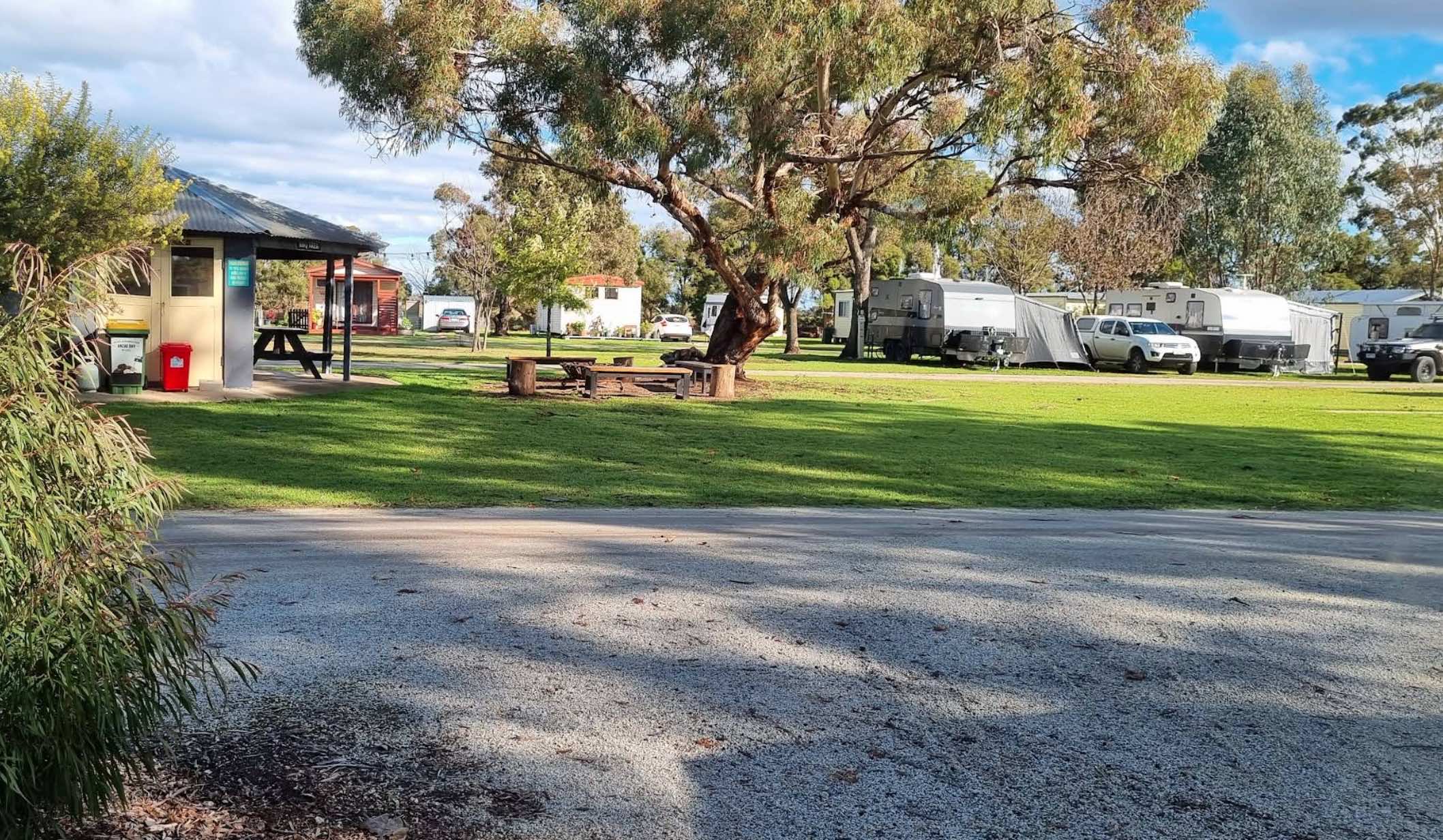
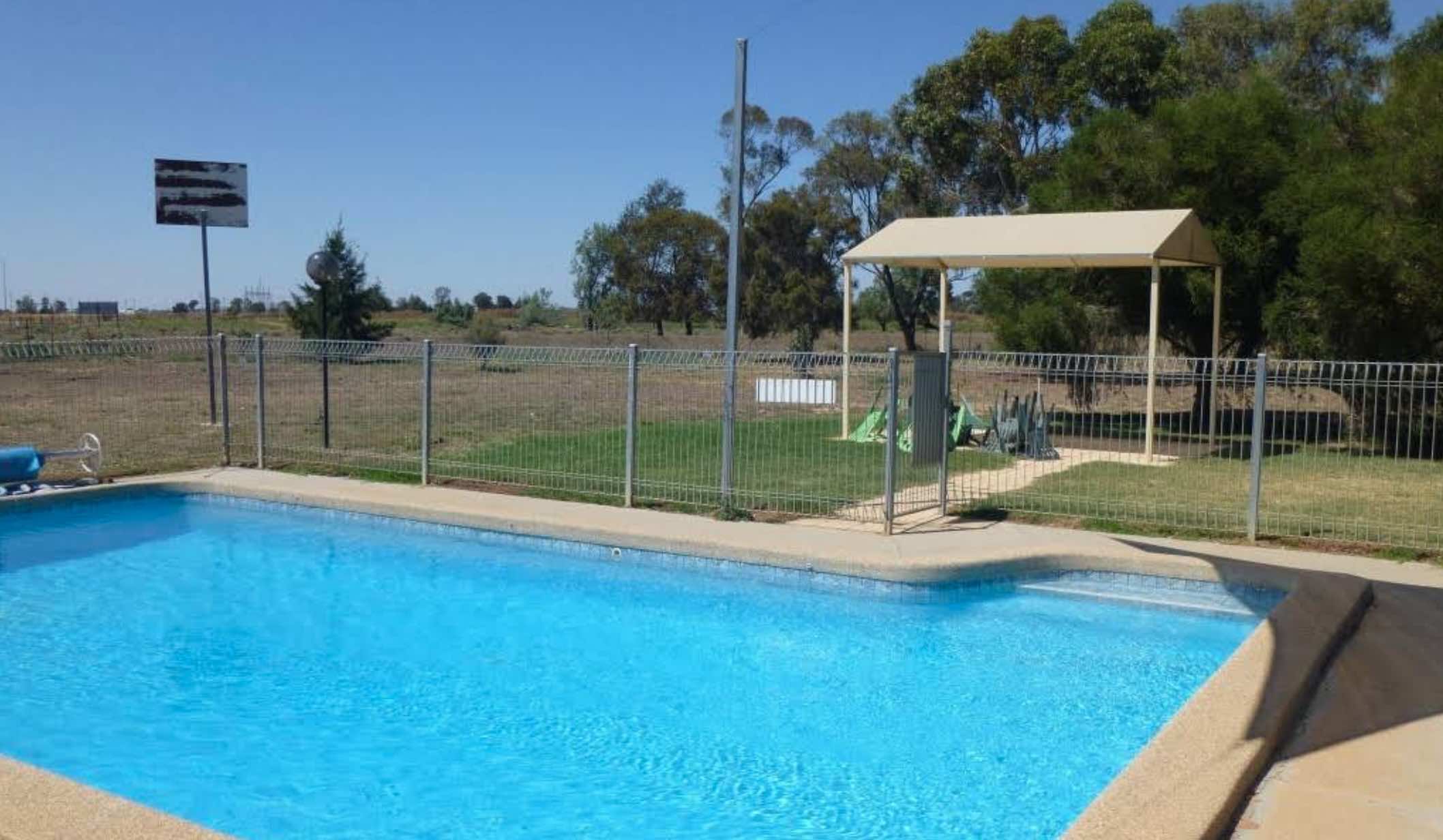
0 reviews
Kerang Holiday Park
Kerang Holiday Park, formerly known as Ibis Caravan Park, offers a friendly country hospitality experience in a beautiful bush setting in Kerang, Victoria. Located amidst native trees, birds, and lush greenery, the park provides a nat ...
Read More...
Category
Caravan Parks List
Facilities Available, , , , , , , , , ,
, , , , , , , , , ,
Camping Info
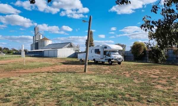
0 reviews
Kerang Turf Club offers a designated camping area primarily for self-contained recreational vehicles, caravans, and big rigs. Located on Park Road in Kerang, it provides a convenient and budget-friendly stopover option for travellers exploring the region. ...
Read More...
Category
Free Camping
Facilities Available, , , ,
, , , ,
Camping Info, ,
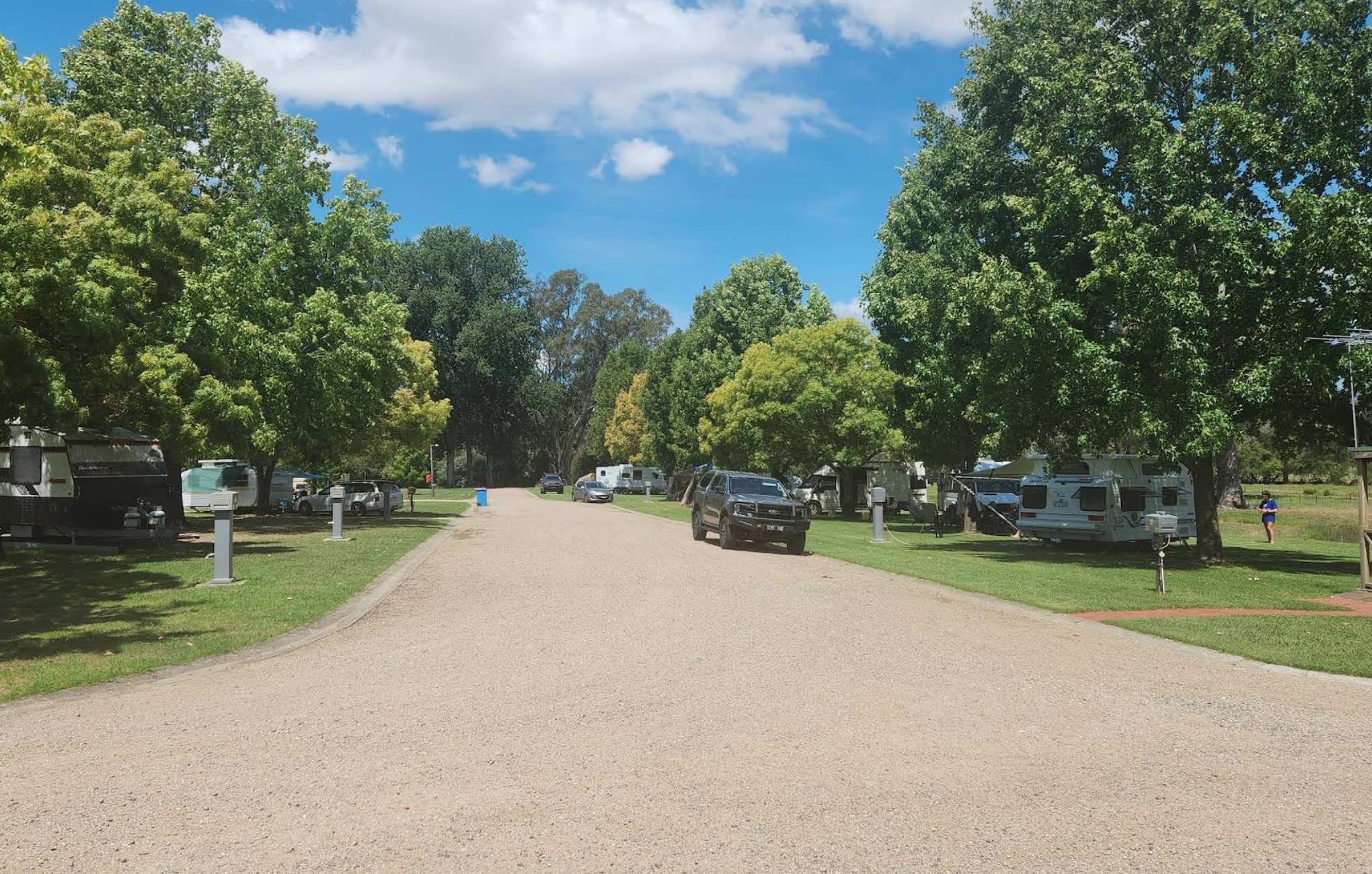
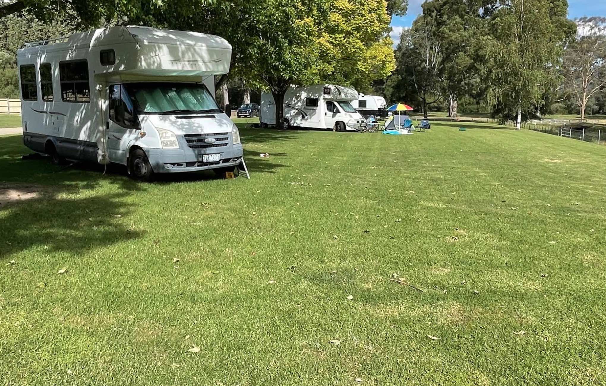
0 reviews
Kergunyah Caravan Park
Kergunyah Caravan Park offers a tranquil and picturesque setting in the scenic Kiewa Valley, providing a peaceful escape for travellers. Located at The Kergunyah Store, this friendly park serves as an excellent base for exploring t ...
Read More...
Category
Caravan Parks List
Facilities Available, , , , , , , , ,
, , , , , , , , ,
Camping Info
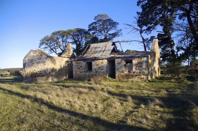
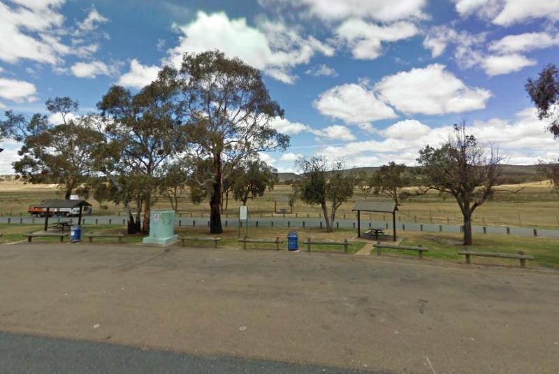
0 reviews
The Kibby VC Rest Area, has plenty of room to park, long drop toilets with hand basin, undercover picnic tables, rubbish bins and tank water. You will also see a couple of old deserted buildings in the area, that might warrant taking a photo of.
Category
Rest Areas
Facilities Available, , , ,
, , , ,
Camping Info
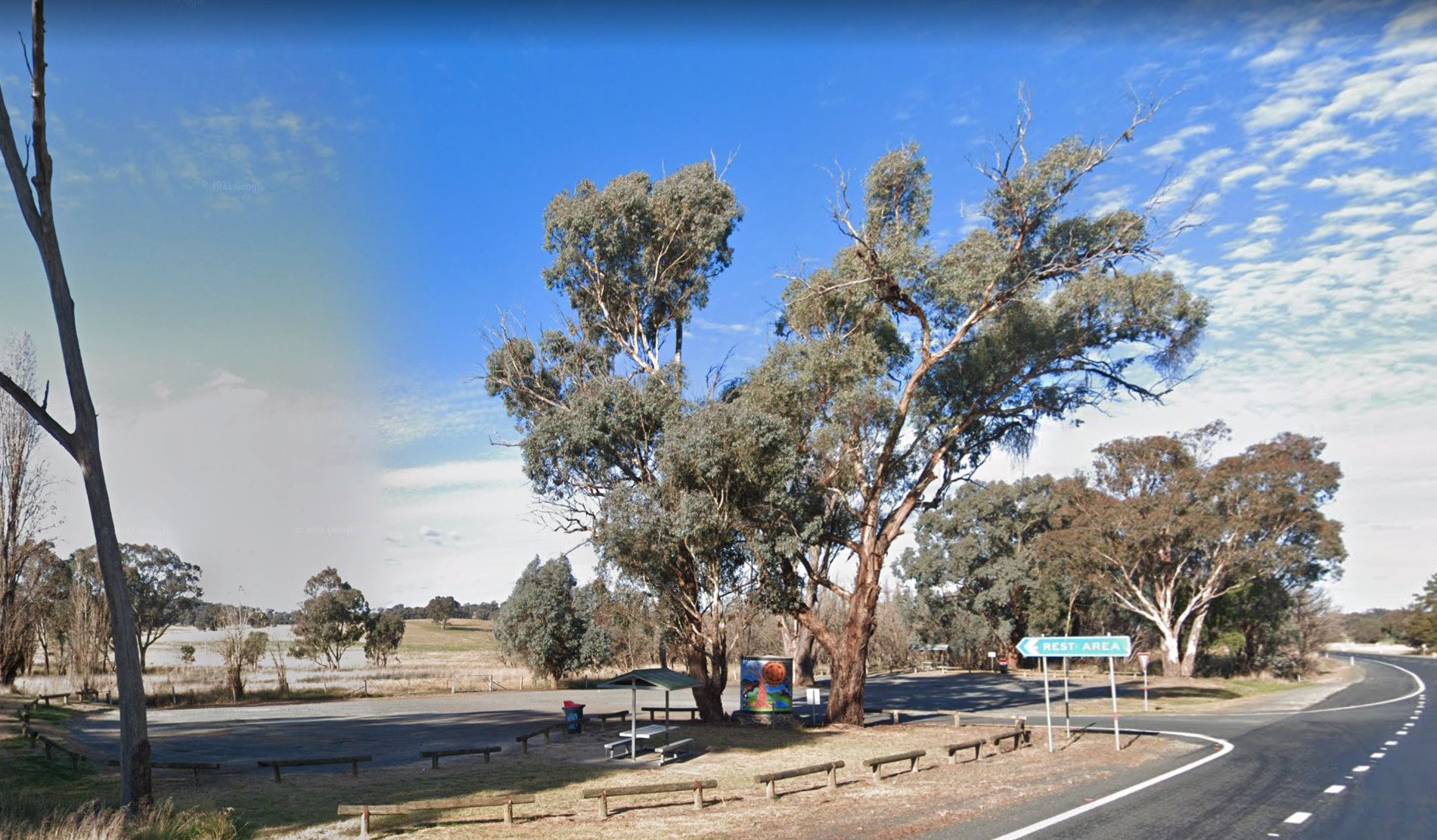
0 reviews
The Kilgowlah Creek Rest Area is an oval shaped parking area that might not be suitable for large caravans especially if someone else is already there. You can take a short walk to the banks of the Keajura Creek, its roughly 100 metres along the path, rub ...
Read More...
Category
Rest Areas
Facilities Available, , ,
, , ,
Camping Info

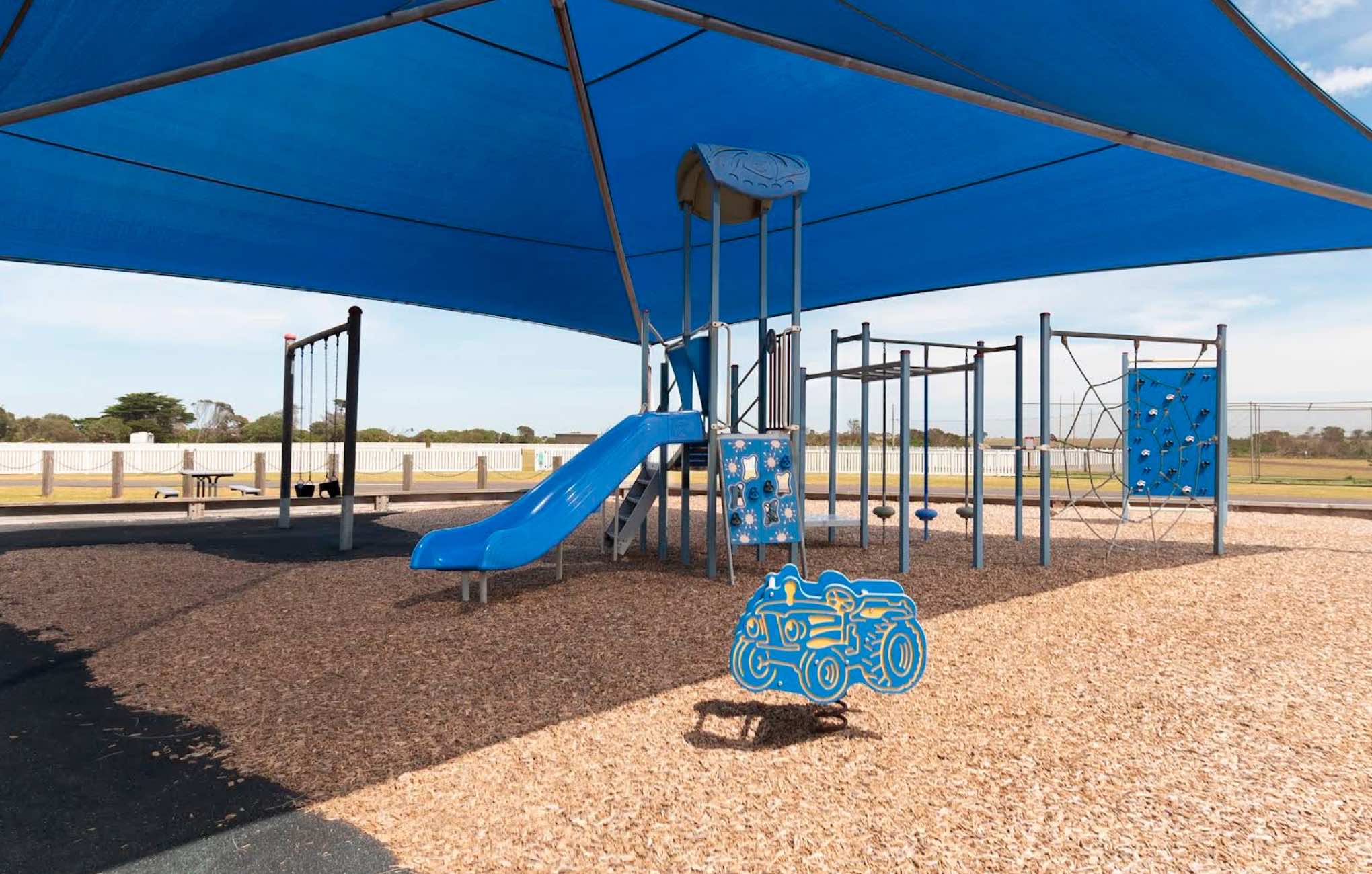
0 reviews
Killarney Caravan Park
Killarney Caravan Park offers a tranquil and immersive natural coastal experience, perfectly positioned just 2 kilometres off the Princes Highway in Killarney, Victoria. This quaint and peaceful park is ideal for those seeking to u ...
Read More...
Category
Caravan Parks List
Facilities Available, , , , , , ,
, , , , , , ,
Camping Info
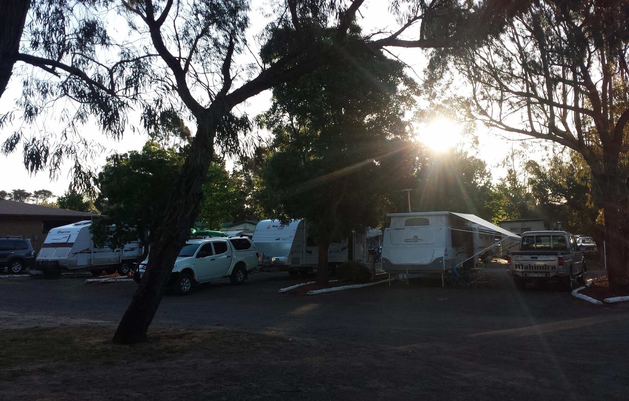
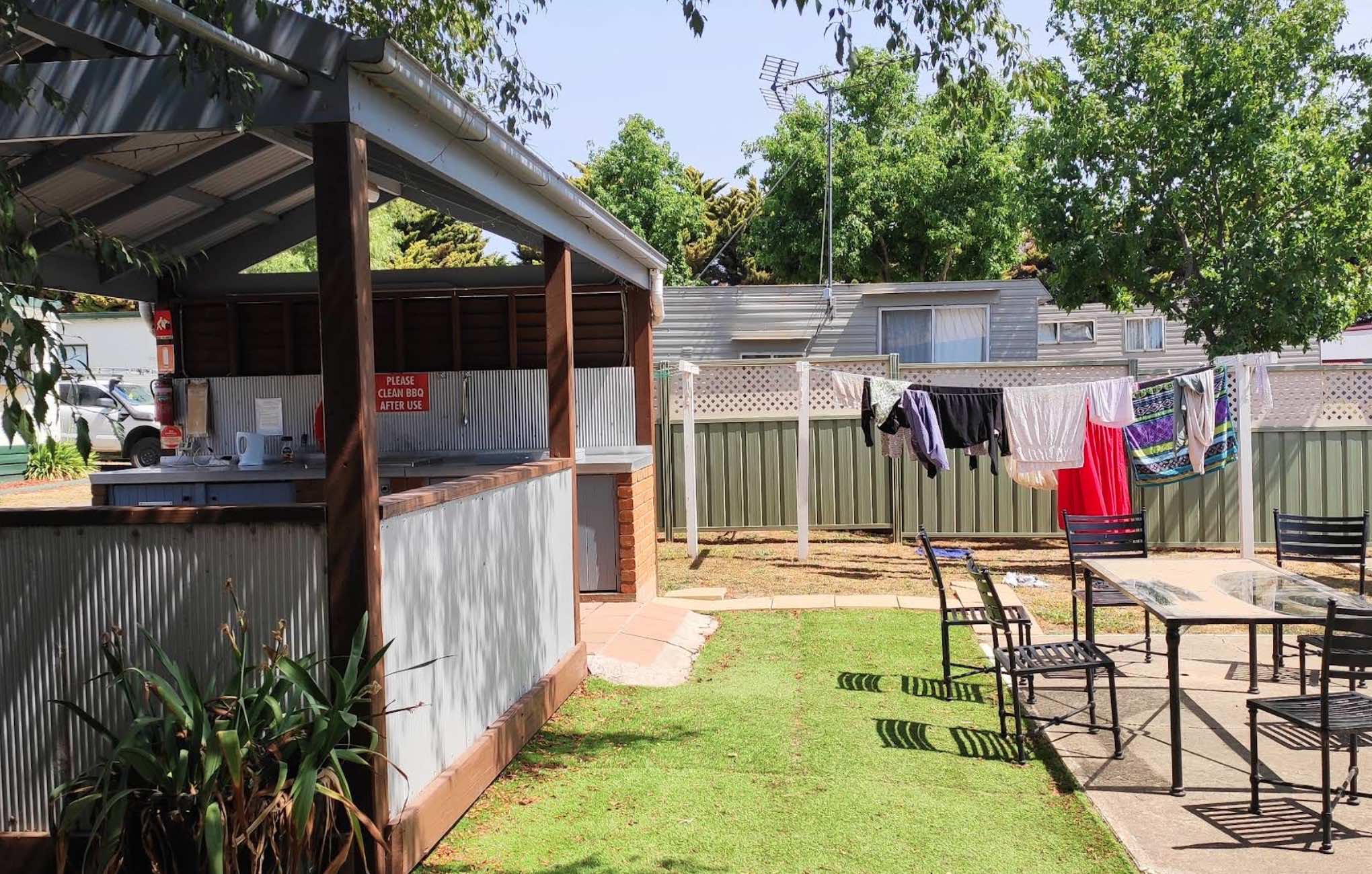
0 reviews
Kilmore Caravan Park
Kilmore Caravan Park offers a centrally located and welcoming stay in Kilmore, Victoria, just under an hour north of Melbourne. Believed to be Victoria's oldest inland settled town, Kilmore provides a rich historical backdrop for you ...
Read More...
Category
Caravan Parks List
Facilities Available, , , , , , , , , ,
, , , , , , , , , ,
Camping Info,
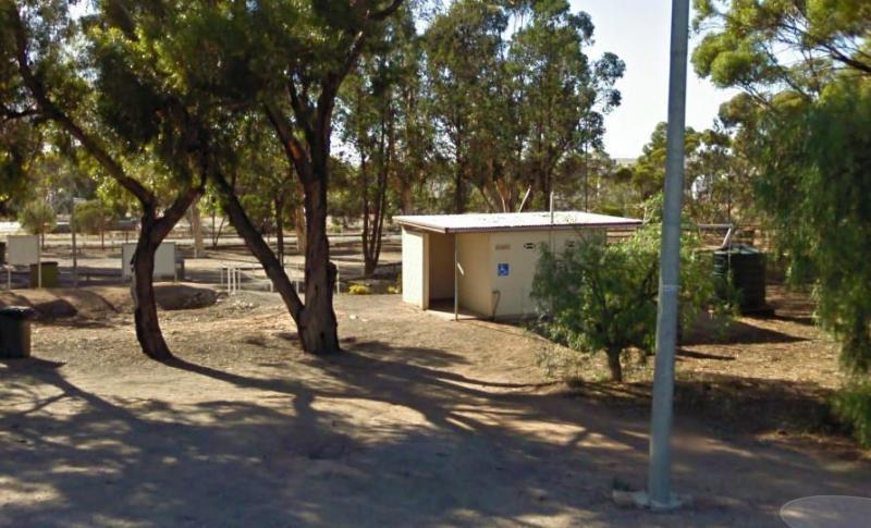
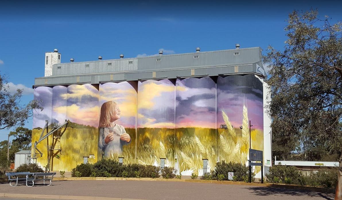
0 reviews
The Kimba Rest Area is a handy spot to stop at, there is an IGA supermarket across the road so pick up some supplies while visiting here, AND the Big Galah nearby GPS -33.141783,136.421747
Category
Rest Areas
Facilities Available, , , ,
, , , ,
Camping Info
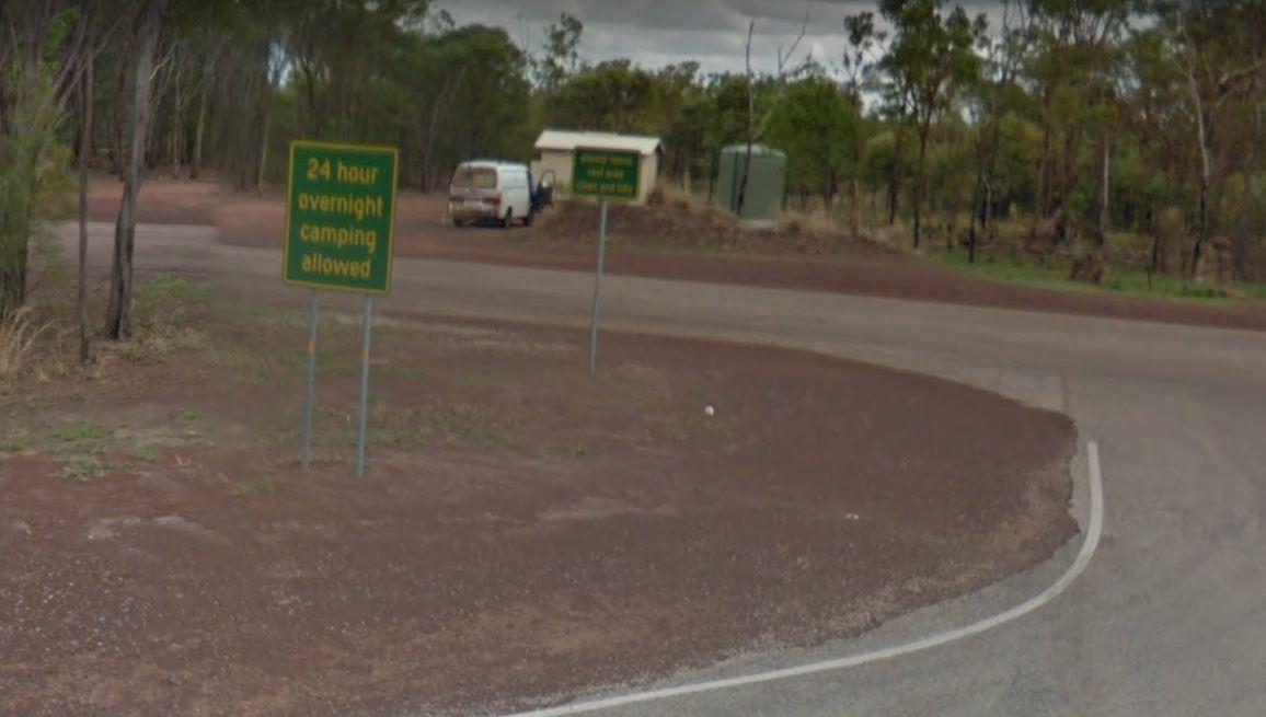
0 reviews
The King River Rest Area is close to the road so expect some noise, two large tanks with some potable water is onsite, undercover picnic tables and fireplaces available, and for the more adventurous, you can take a short walk to Leech Lagoon.
Category
Free Camping
0 reviews
At the Kings Billabong Rest Area camping is permitted around the reserve, when backpacking in, you will find plenty of bush camping spots.
Category
Rest Areas
Facilities Available, ,
, ,
Camping Info

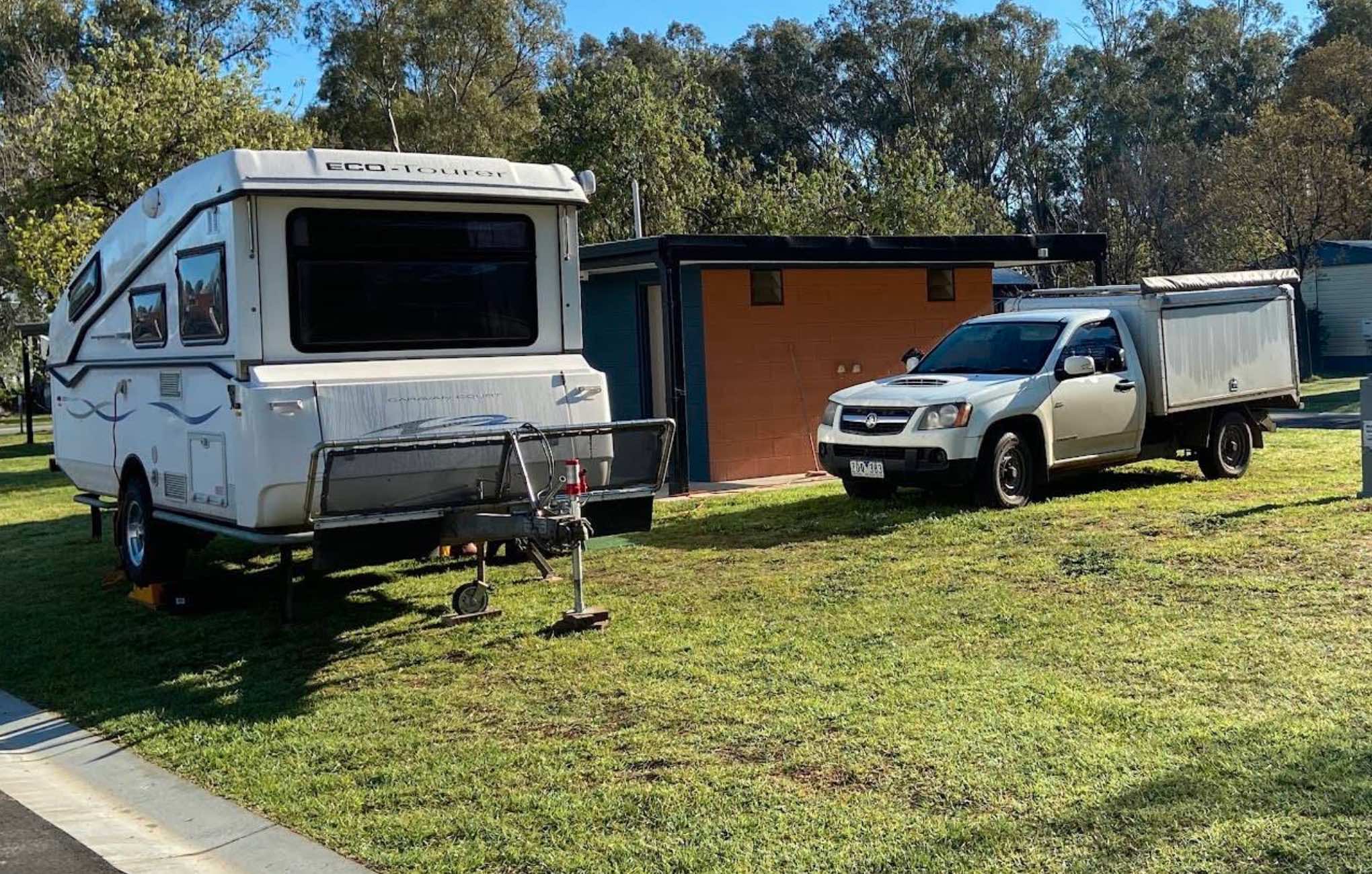
0 reviews
Koondrook Caravan Park
Koondrook Caravan Park offers a tranquil and picturesque setting on the banks of the mighty Murray River and Gunbower Creek, in the historic red gum township of Koondrook. This well-maintained park is an ideal destination for those ...
Read More...
Category
Caravan Parks List
Facilities Available, , , , , , , , , , , , ,
, , , , , , , , , , , , ,
Camping Info
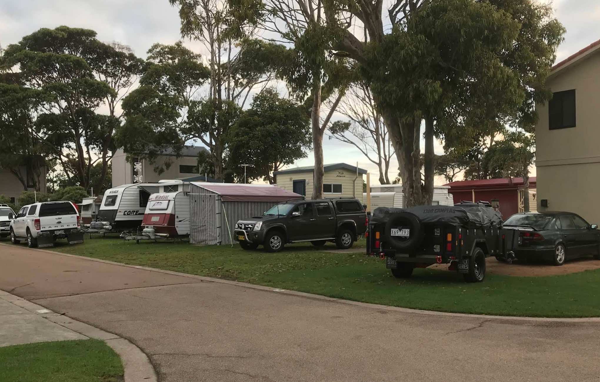
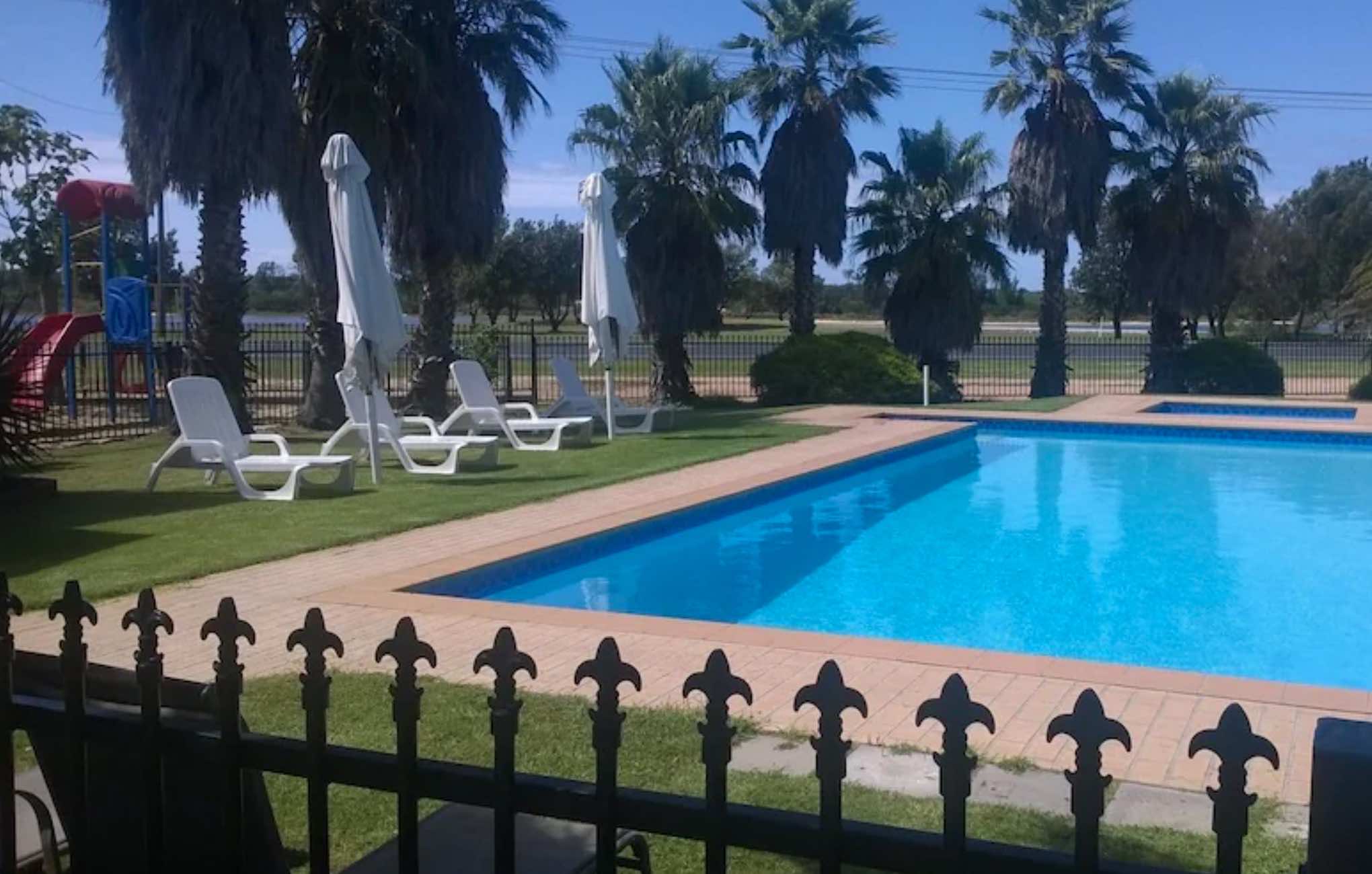
683 The Esplanade, Lakes Entrance, 3909, Victoria
0 reviews
Koonwarra Family Holiday Park - Lakes Entrance, Victoria, Australia
Koonwarra Family Holiday Park offers a friendly and relaxed setting for your holiday in Lakes Entrance, Victoria. Situated directly across the road from the foreshore of the Cunninghame ...
Read More...
Category
Caravan Parks List
Facilities Available, , , , , , , , , , , , , , ,
, , , , , , , , , , , , , , ,
Camping Info
0 reviews
The Kooreh Hall Rest Area, the hall itself was built in 1923 as a tribute to the lost soldiers of the Boer and First World Wars.
Category
Rest Areas
Facilities Available, , ,
, , ,
Camping Info
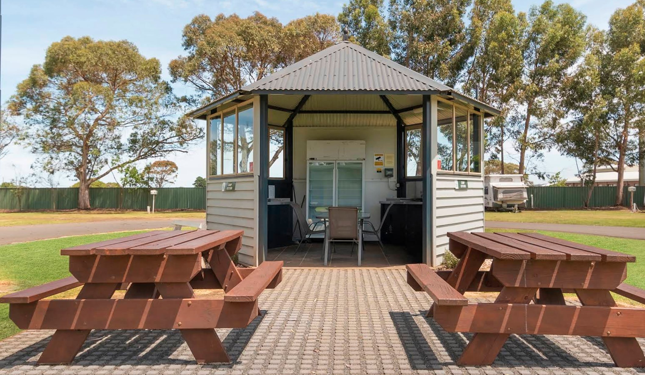
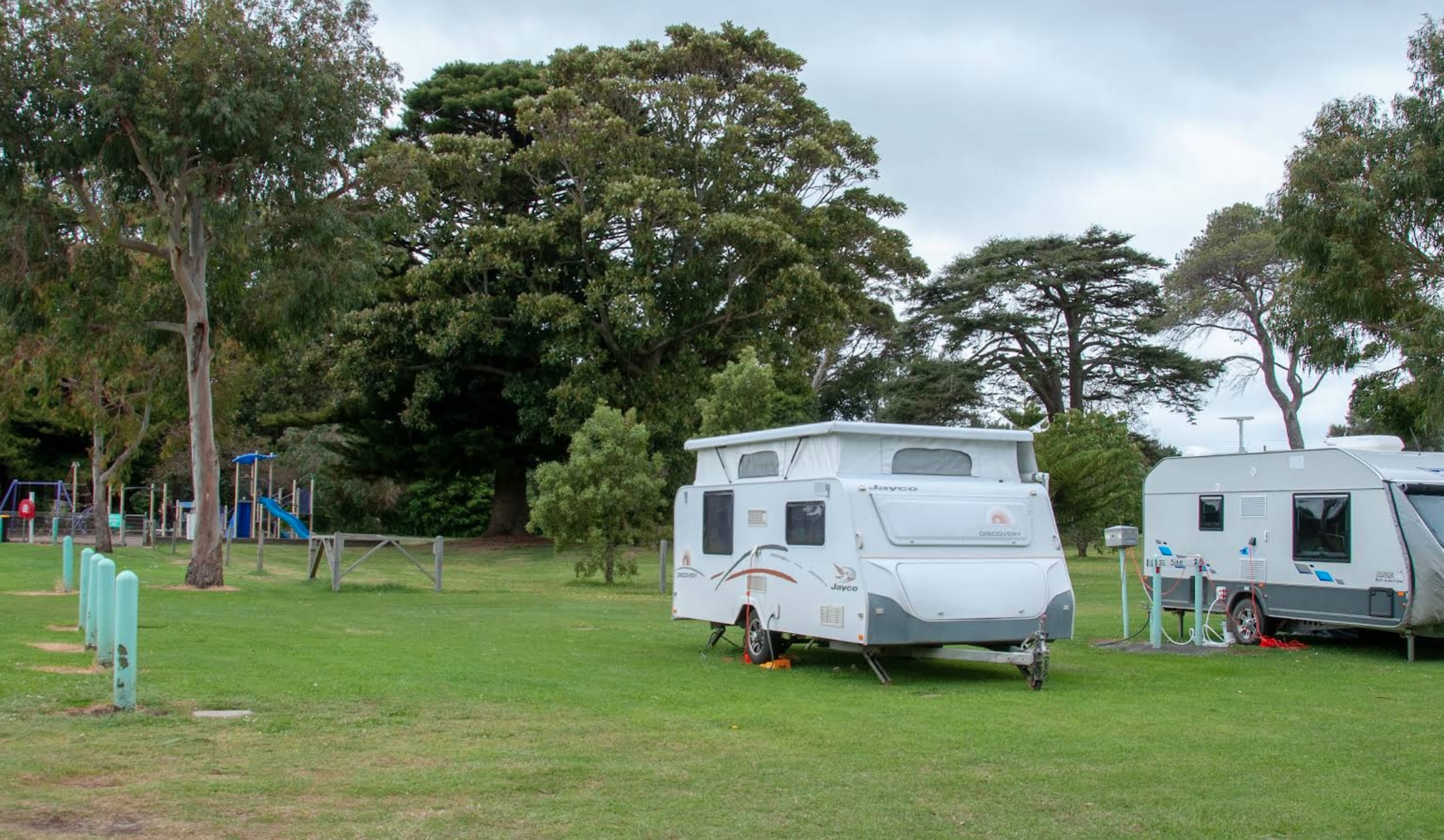
0 reviews
Koroit-Tower Hill Caravan Park: Your Gateway to Nature and History
Koroit-Tower Hill Caravan Park offers a peaceful retreat in the charming Irish township of Koroit, Victoria, ideally situated for exploring the stunning natural surroundings and rich hist ...
Read More...
Category
Caravan Parks List
Facilities Available, , , , , , , , ,
, , , , , , , , ,
Camping Info
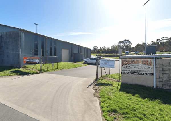
Victoria Street, Korumburra, 3950, Victoria
0 reviews
Alright, let's talk about camping at the Korumburra Showgrounds in Victoria. If you're after a no-frills, budget-friendly stop in South Gippsland, especially if you're self-contained, the showgrounds can be a good option. It's run by a volunteer committee ...
Read More...
Facilities Available, , , , , ,
, , , , , ,
Camping Info, , ,
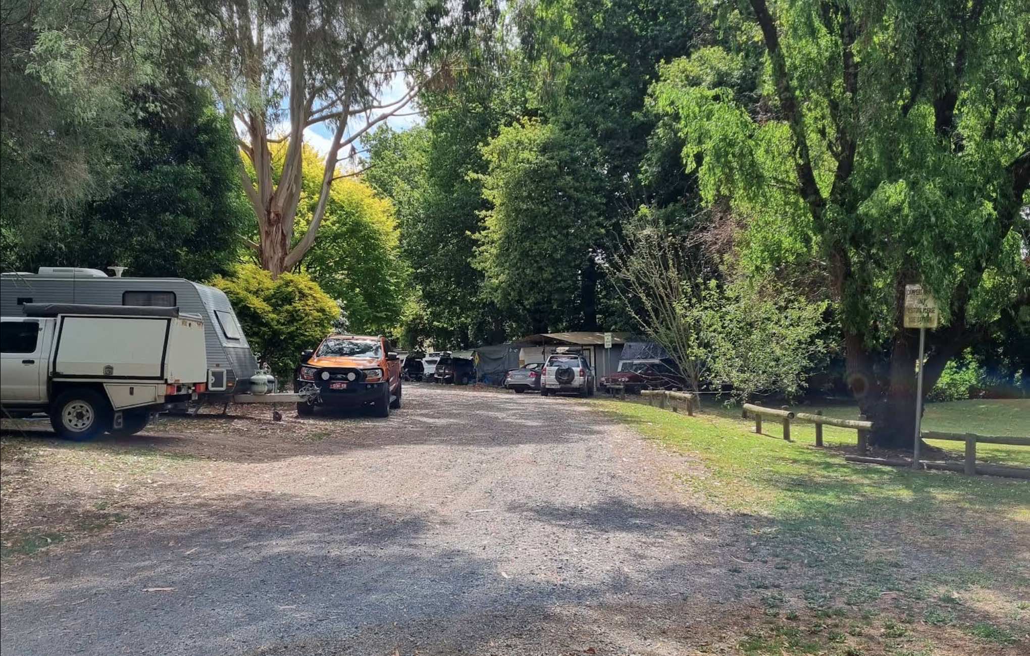
56 Bourke Street, Korumburra, 3950, Victoria
0 reviews
Korumburra Tourist Park
Korumburra Tourist Park offers a peaceful and family-friendly retreat nestled in the rolling green pastures of South Gippsland. Adjoining the Botanical Gardens, the park provides a tranquil atmosphere with majestic trees, abundant ...
Read More...
Category
Caravan Parks List
Facilities Available, , , , , , , , , ,
, , , , , , , , , ,
Camping Info
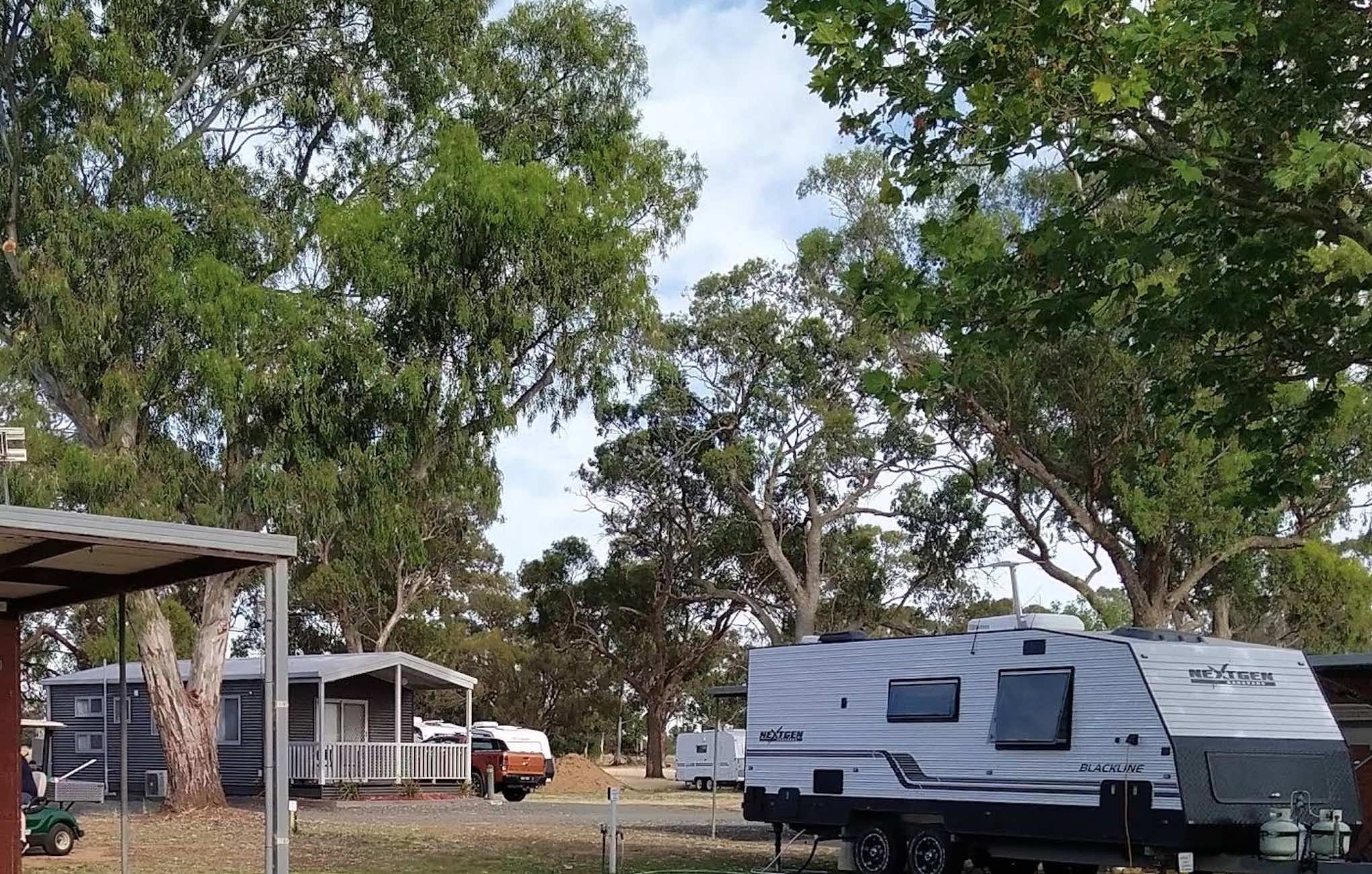
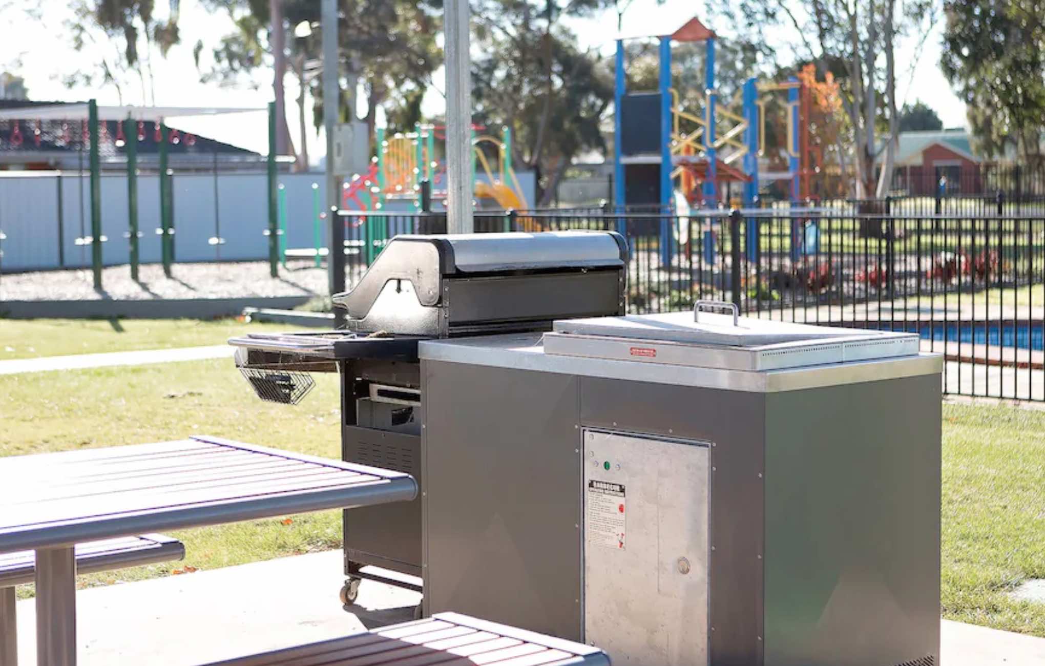
0 reviews
Kyabram Western Gums Tourist Park
Discover a tranquil escape in the heart of the Goulburn Valley at Kyabram Western Gums Tourist Park. This welcoming park offers a relaxing setting amongst native gums and lush lawn sites, providing the perfect base for e ...
Read More...
Category
Caravan Parks List
Facilities Available, , , , , , , , , , , , , , , ,
, , , , , , , , , , , , , , , ,
Camping Info
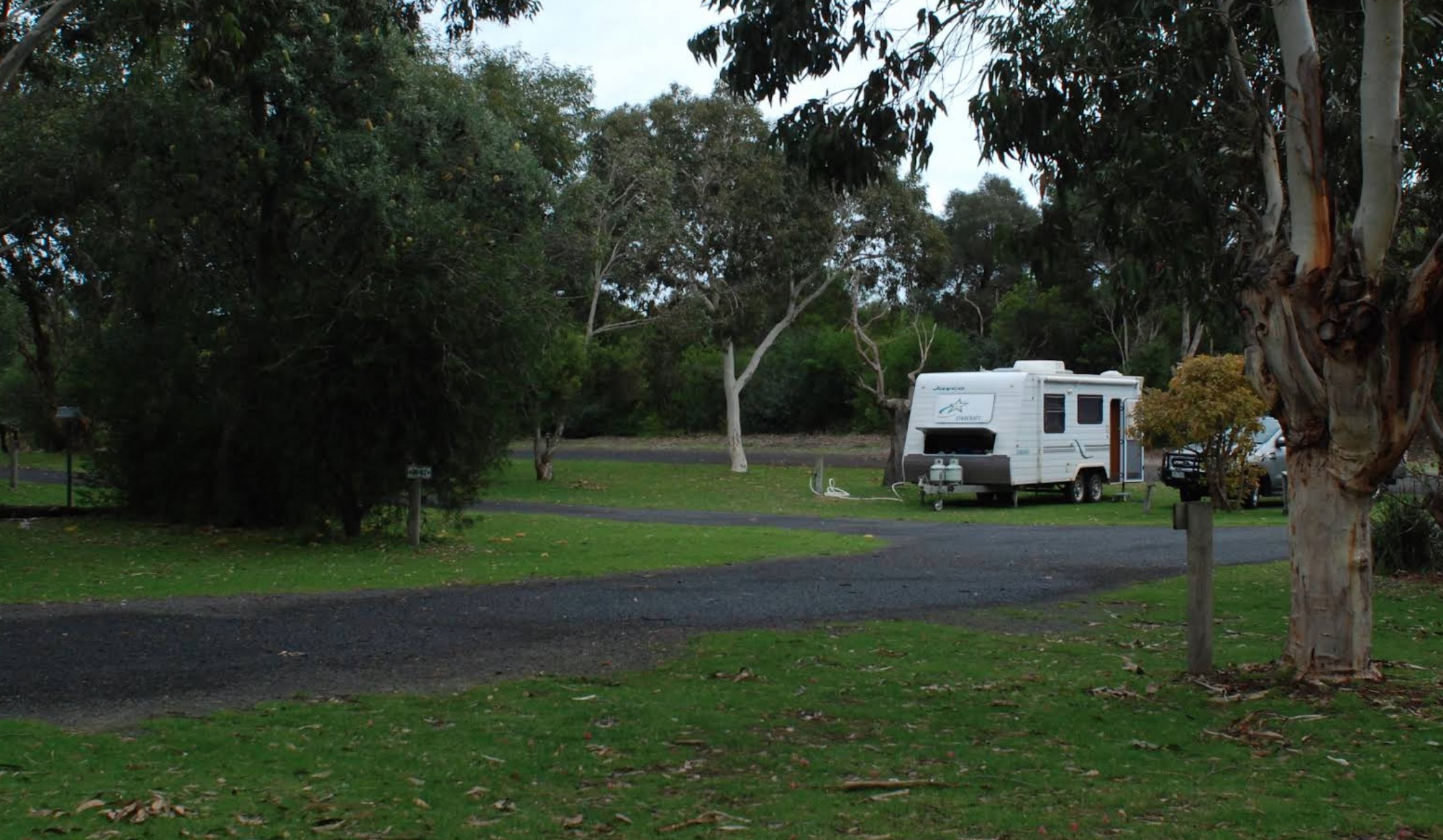
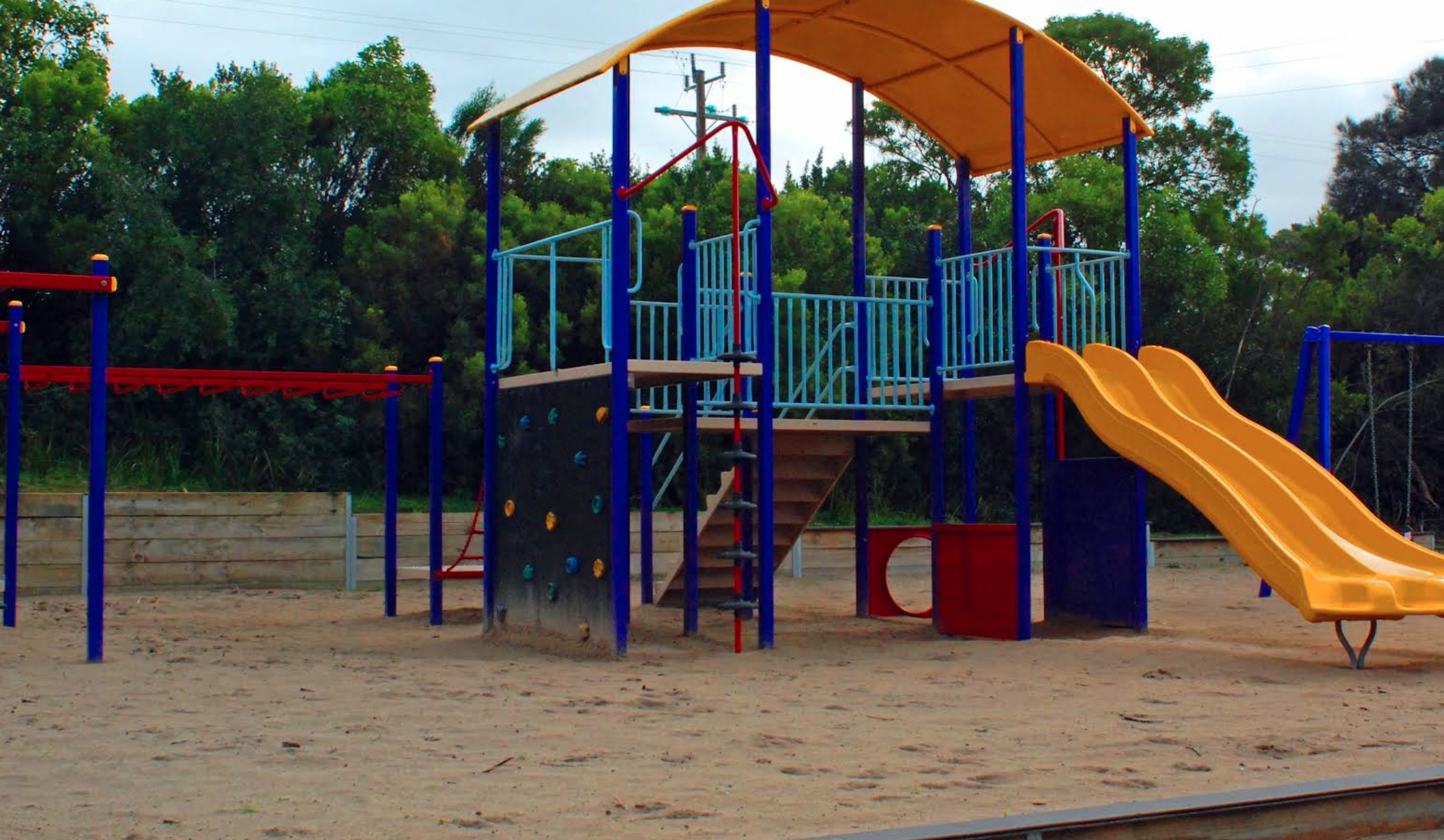
0 reviews
Kywong Caravan Park: Bushland Serenity near the Glenelg River
Kywong Caravan Park, nestled on 25 acres of tranquil bushland in Nelson, Victoria, offers a peaceful retreat for travellers exploring the region where the Glenelg River meets the sea. The park ...
Read More...
Category
Caravan Parks List
Facilities Available, , , , , , ,
, , , , , , ,
Camping Info
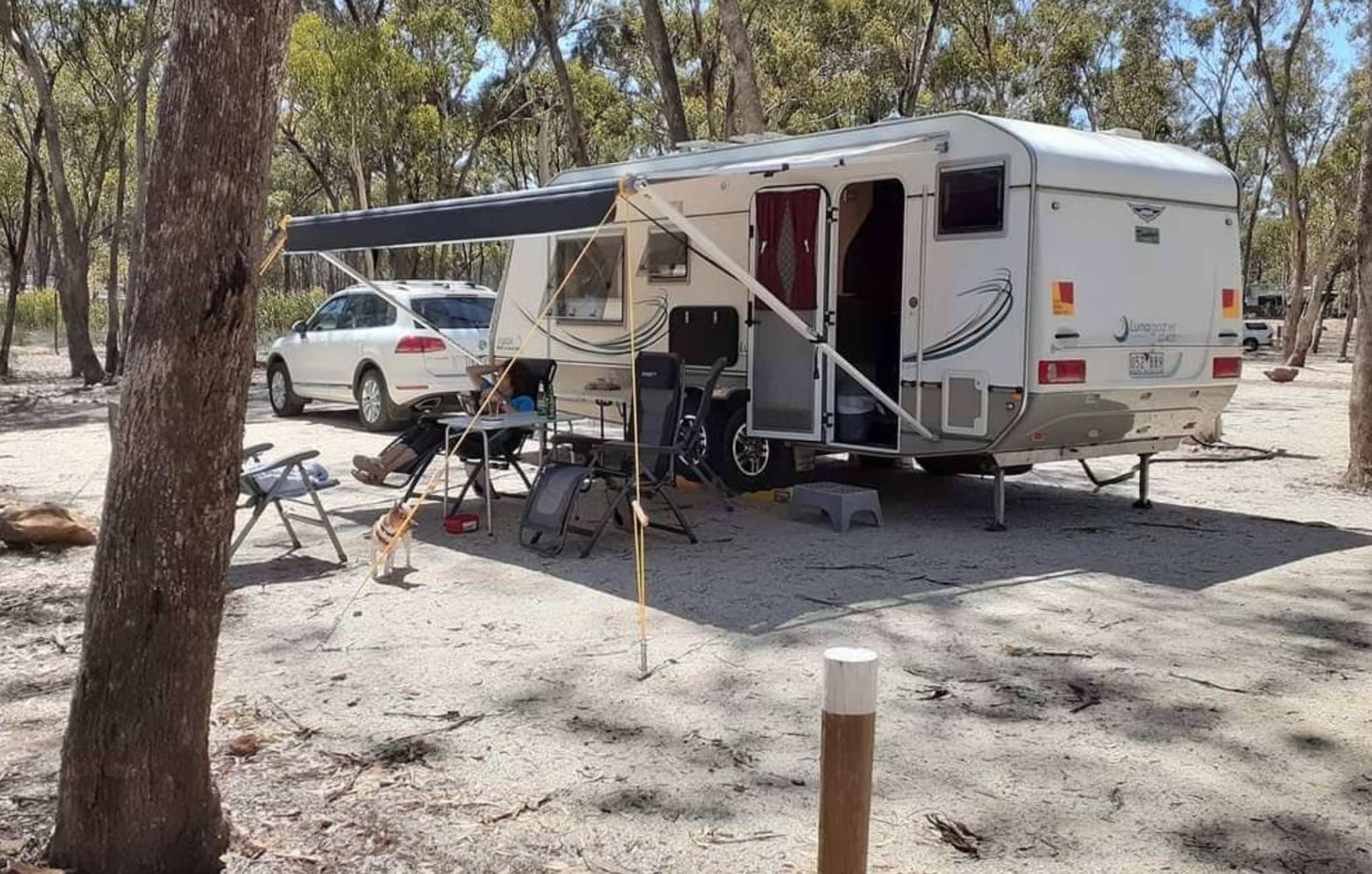
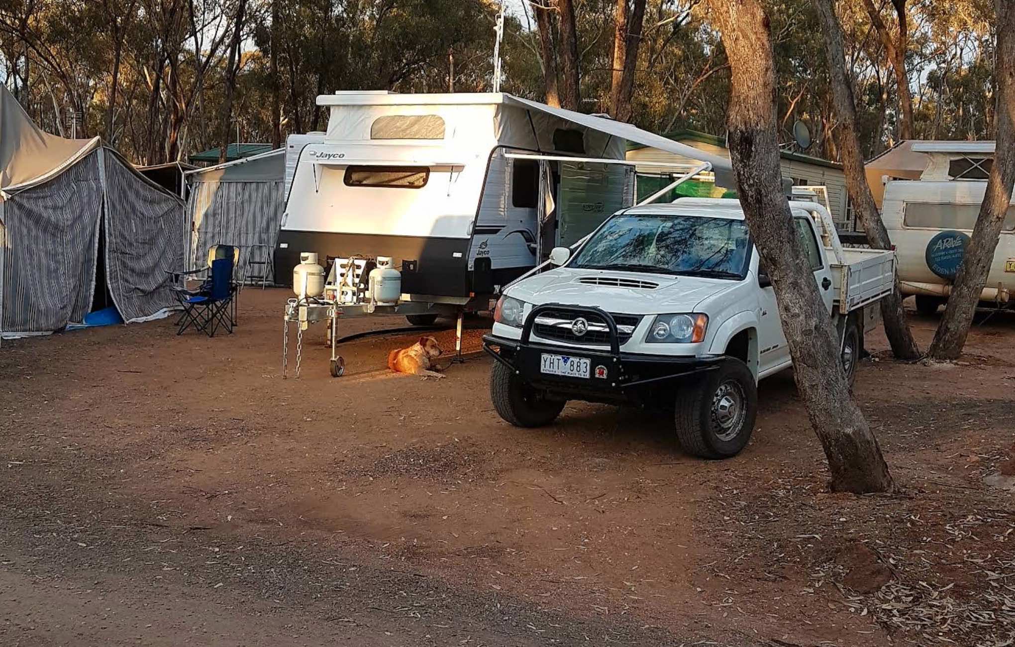
58 Brownbills Road, Laanecoorie, 3463, Victoria
0 reviews
Laanecoorie Lakeside Park
Nestled on the serene shores of Laanecoorie Reservoir, Laanecoorie Lakeside Park offers a tranquil retreat for families, water sports enthusiasts, and gold prospectors alike. Set on 45 acres of natural bushland, the park provide ...
Read More...
Category
Caravan Parks List
Facilities Available, , , , , , , , , , , , , , , ,
, , , , , , , , , , , , , , , ,
Camping Info
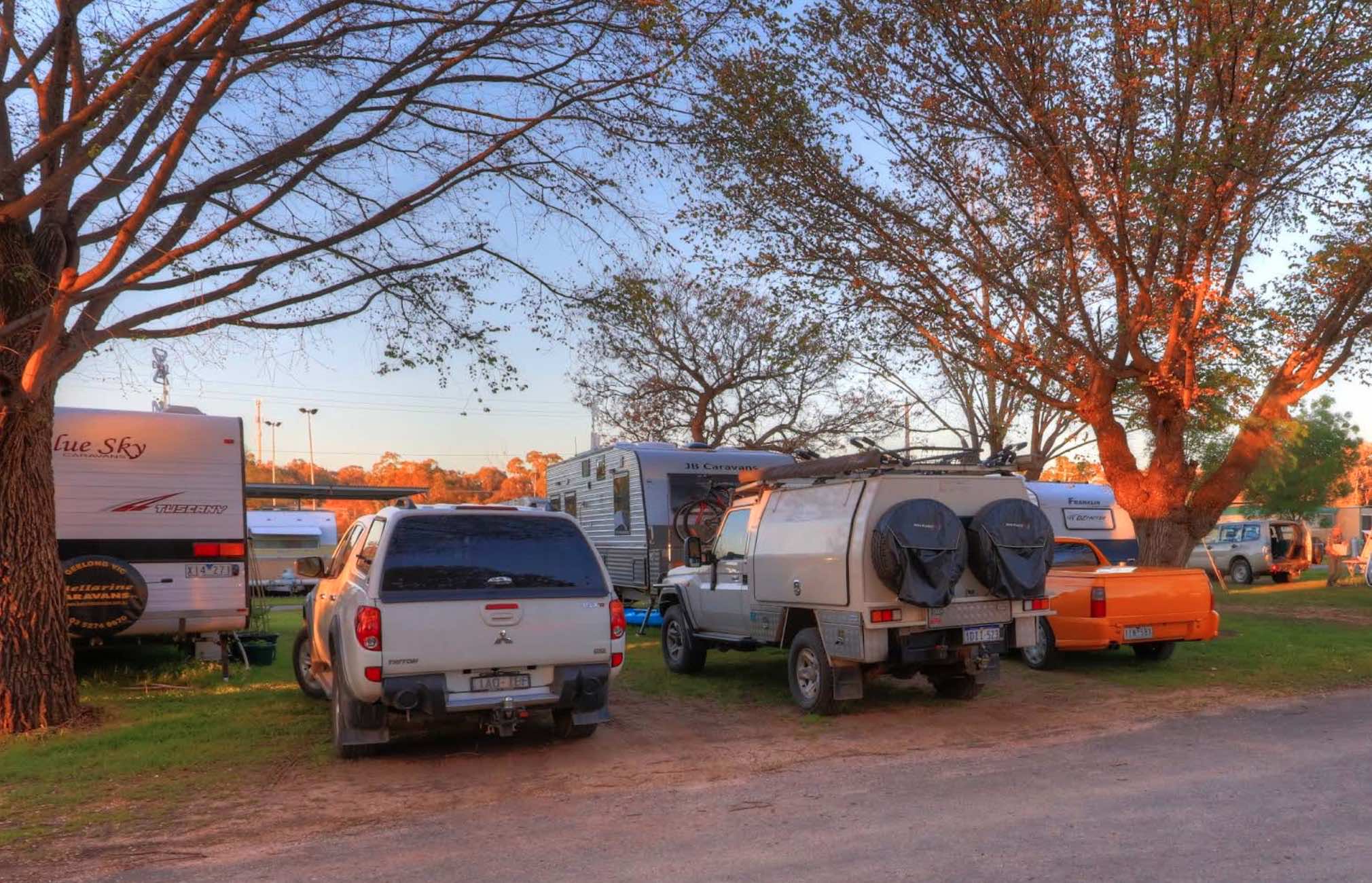
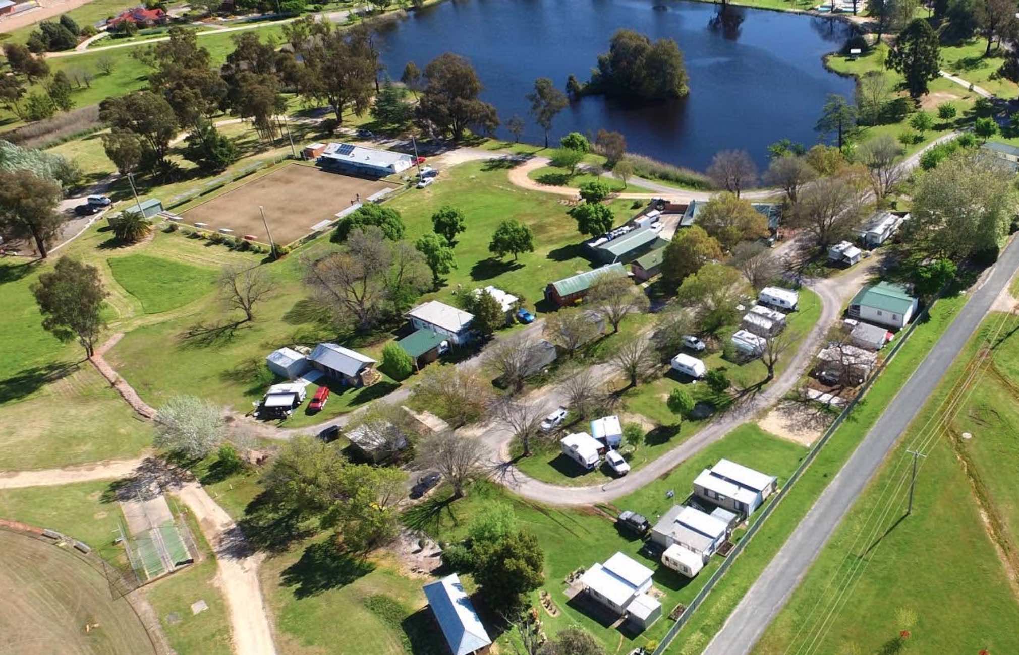
0 reviews
Lake Anderson Caravan Park
Lake Anderson Caravan Park is a beautifully maintained park situated on approximately four acres, overlooking the picturesque Lake Anderson in Chiltern, Victoria. It's an ideal base for exploring the heritage town of Chiltern a ...
Read More...
Category
Caravan Parks List
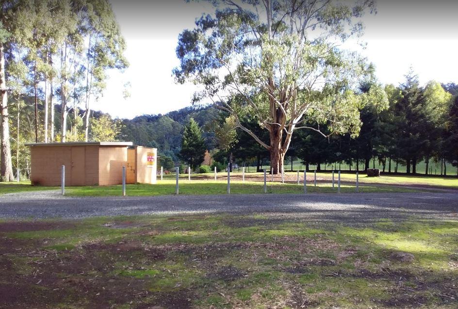
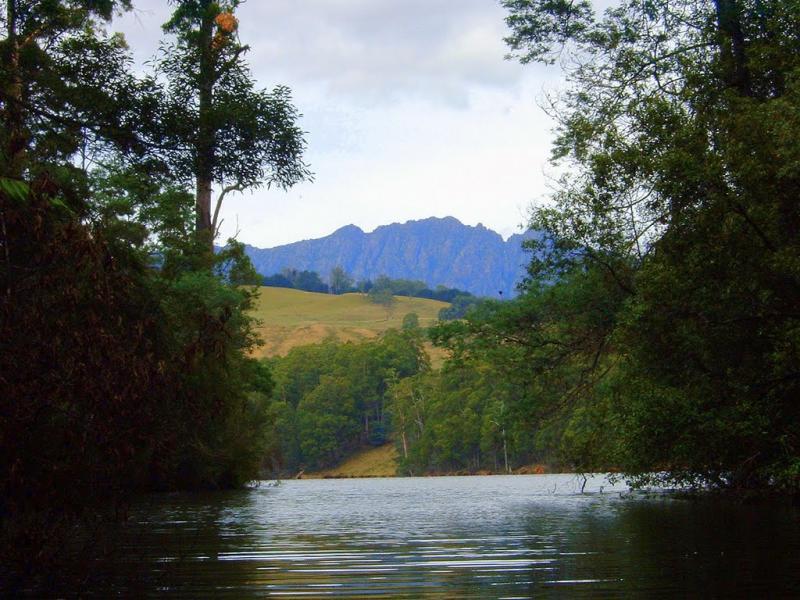
0 reviews
At Lake Barrington Camping Area you can pick your spot from a large grassed area surrounded by large trees. Walk down to the boat ramp and enjoy the scenic view over the lake, or drop a line in and see if there biting today.
Category
Free Camping
Facilities Available, , , , , ,
, , , , , ,
Camping Info,
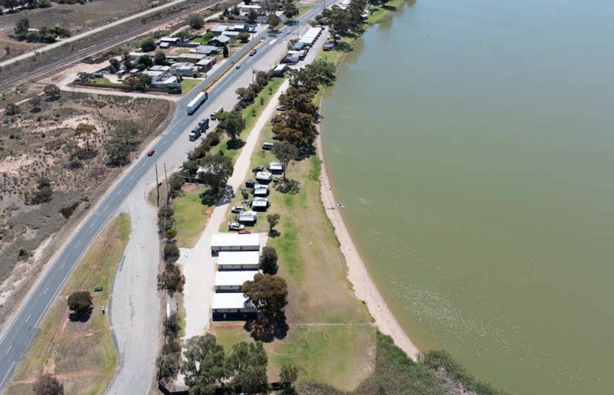
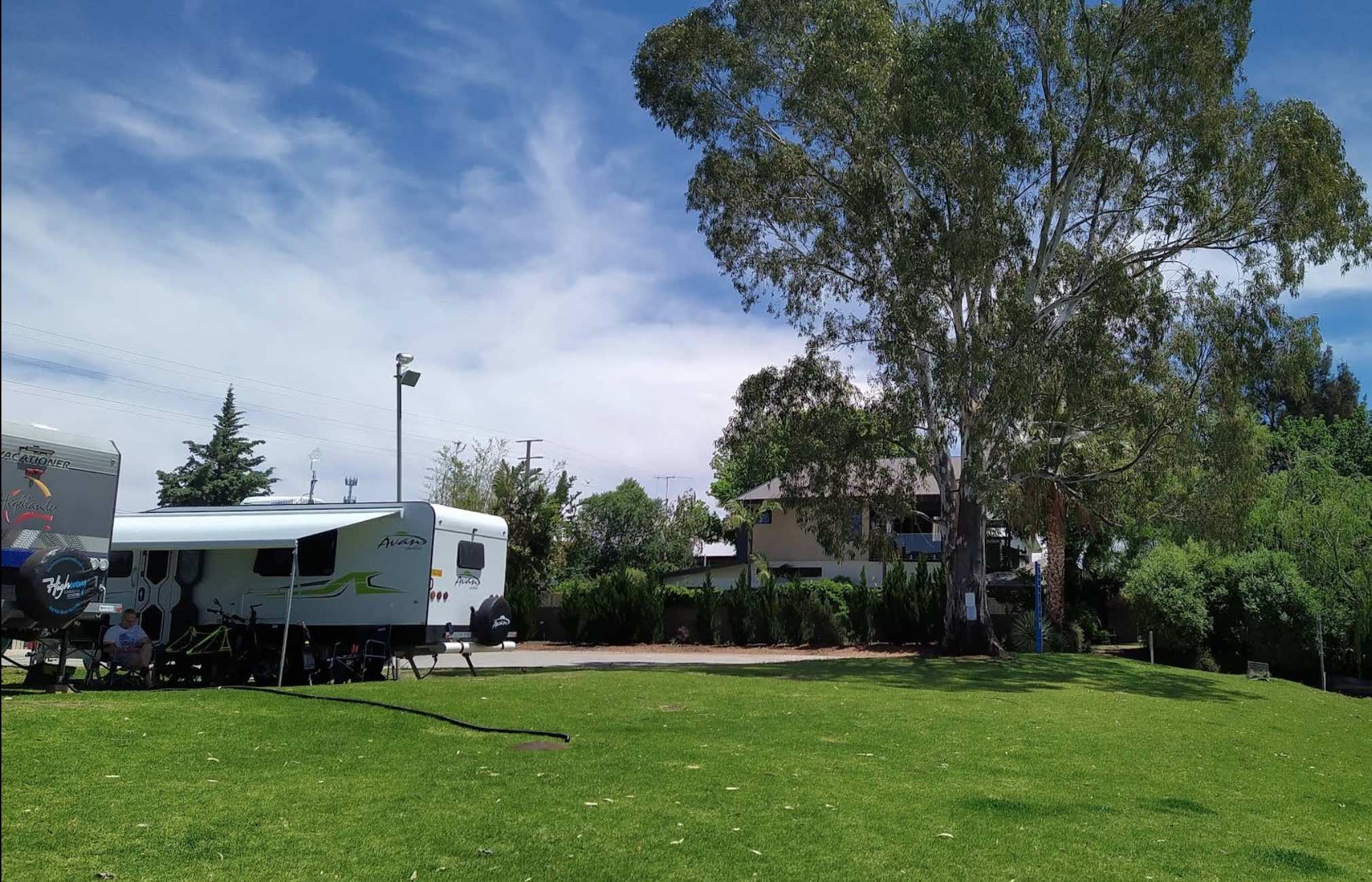
0 reviews
Lake Boga Caravan Park
Lake Boga Caravan Park offers a relaxing lakeside holiday experience, situated right on the banks of pristine Lake Boga in Victoria. It's a popular spot for water-based activities and outdoor adventures, providing a peaceful escape ...
Read More...
Category
Caravan Parks List
Facilities Available, , , , , , , , , , , , ,
, , , , , , , , , , , , ,
Camping Info
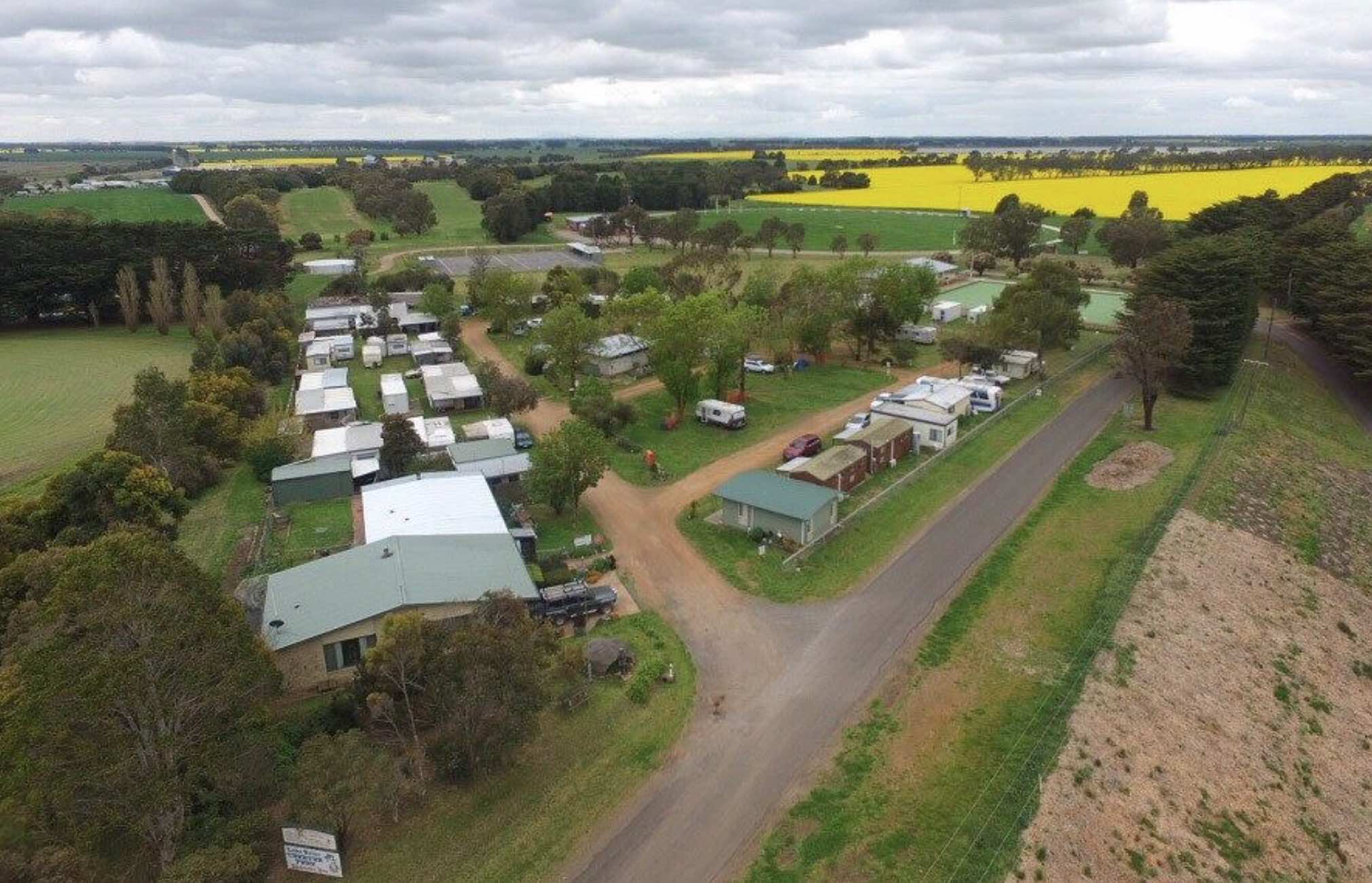
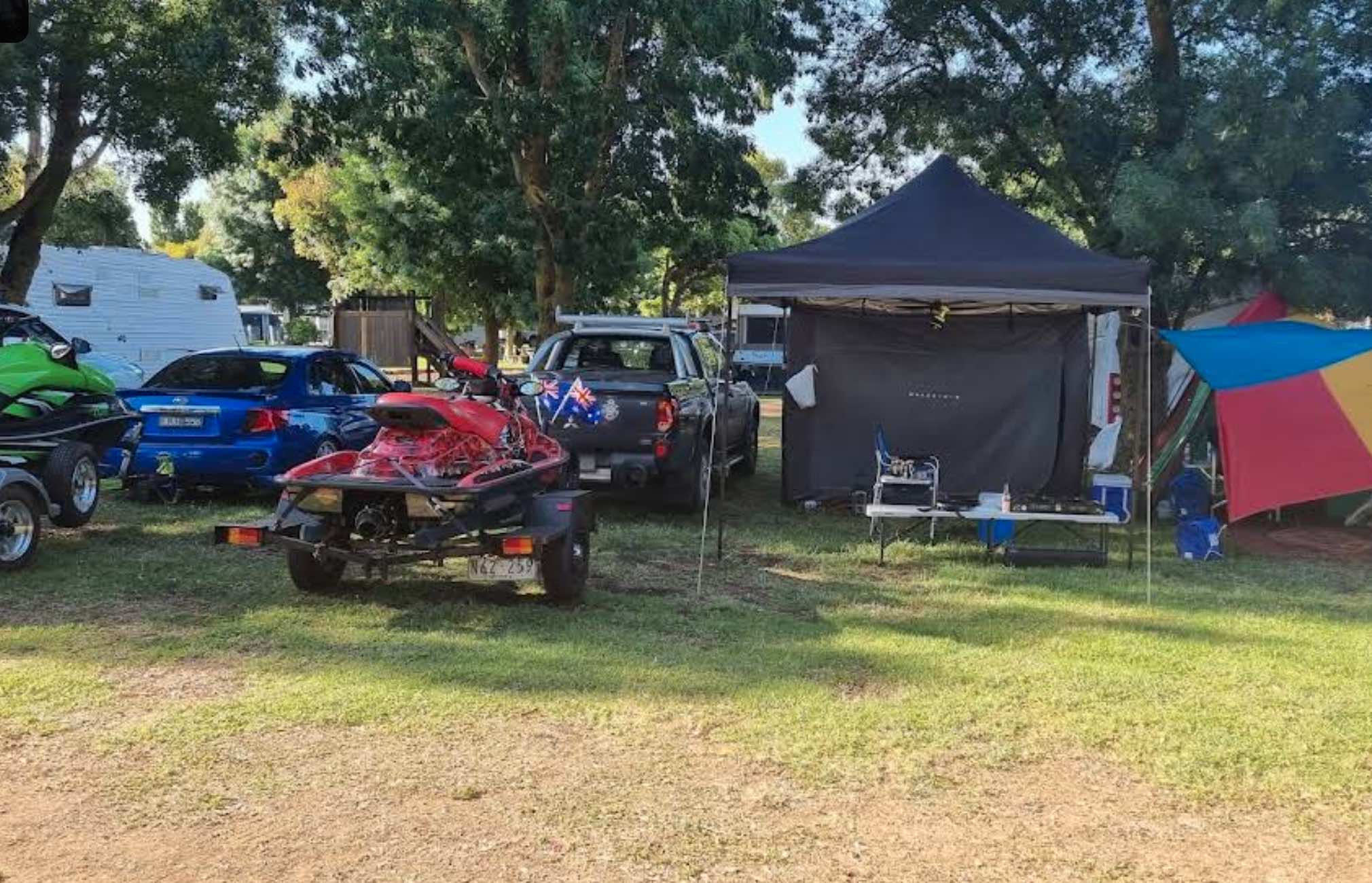
115 Frontage Road, Lake Bolac, 3351, Victoria
0 reviews
Lake Bolac Caravan & Tourist Park
Lake Bolac Caravan & Tourist Park offers a tranquil and spacious retreat on the shores of Lake Bolac, a large freshwater lake in the Western District of Victoria. It's an ideal destination for those seeking a pea ...
Read More...
Category
Caravan Parks List
Facilities Available, , , , , , , , , ,
, , , , , , , , , ,
Camping Info
1484 Yabba Creek Road, Lake Borumba, 4570, Queensland
0 reviews
Lake Borumba campgrounds are tidy and clean amenities, hot showers, kitchen and toilet.Activities include beach volleyball playground, table tennis located next to the Yabba Creek is a nice quiet place to visit for a few days, Plenty of Shade, and Grassy ...
Read More...
Category
Camping Fees Apply
Facilities Available, , , , , , , , ,
, , , , , , , , ,
Camping Info
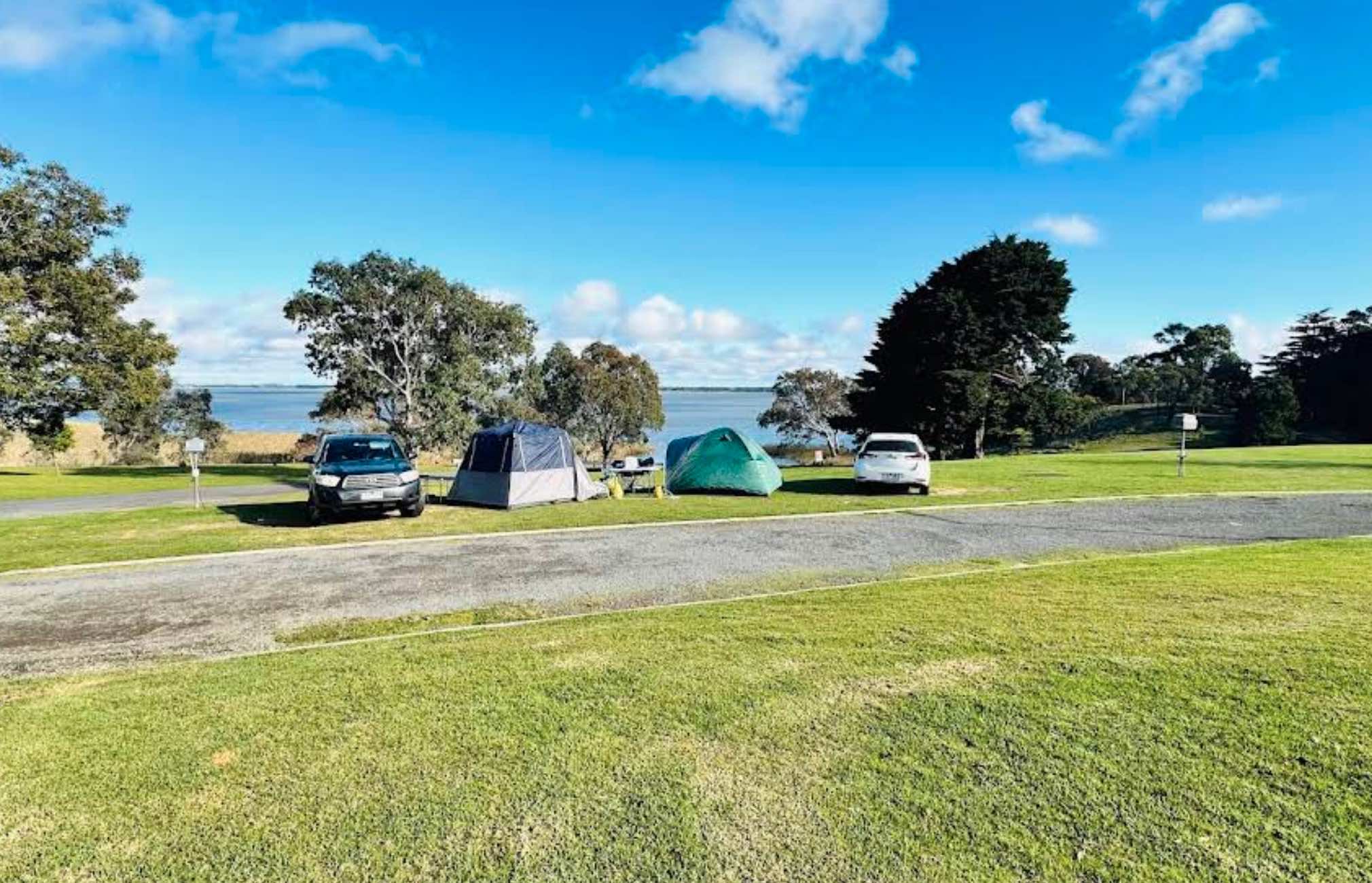
1185 Remembrance Drive, Burrumbeet, 3352, Victoria
0 reviews
Lake Burrumbeet Caravan Park
Lake Burrumbeet Caravan Park offers a serene and peaceful lakeside getaway, perfectly positioned on the north-east end of Lake Burrumbeet. It's an ideal spot for those seeking a quiet escape, to reconnect with nature, or as a ...
Read More...
Category
Caravan Parks List
Facilities Available, , , , , , , , , , , , , , , ,
, , , , , , , , , , , , , , , ,
Camping Info
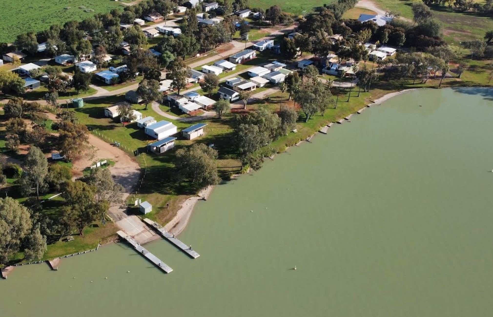
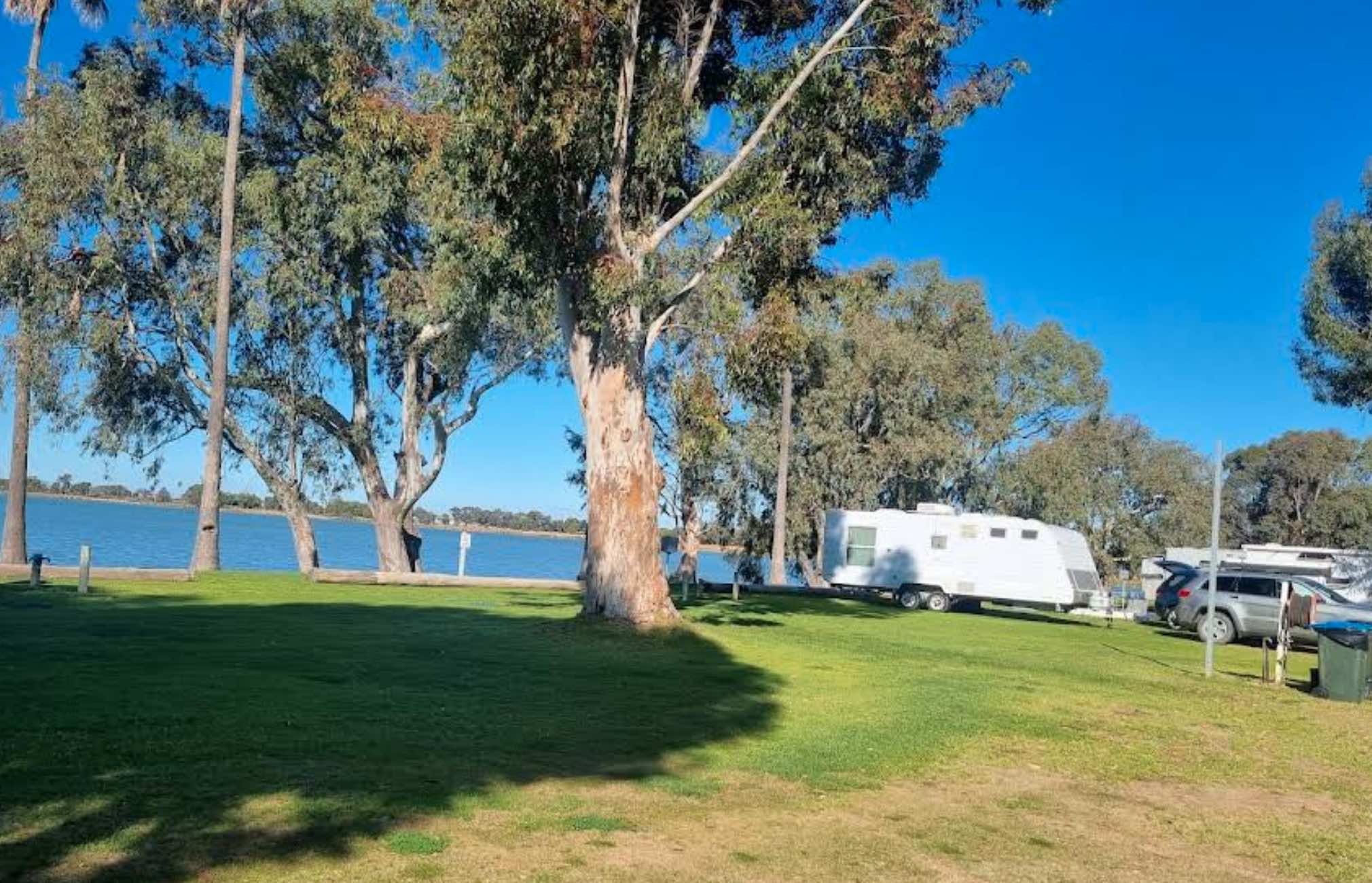
36 Park Road, Lake Charm, 3581, Victoria
0 reviews
Lake Charm Foreshore Caravan Park
Lake Charm Foreshore Caravan Park offers a tranquil and picturesque setting right on the shores of Lake Charm, a beautiful freshwater lake in Victoria's northern region. It's a perfect destination for those who love fish ...
Read More...
Category
Caravan Parks List
Facilities Available, , , , ,
, , , , ,
Camping Info
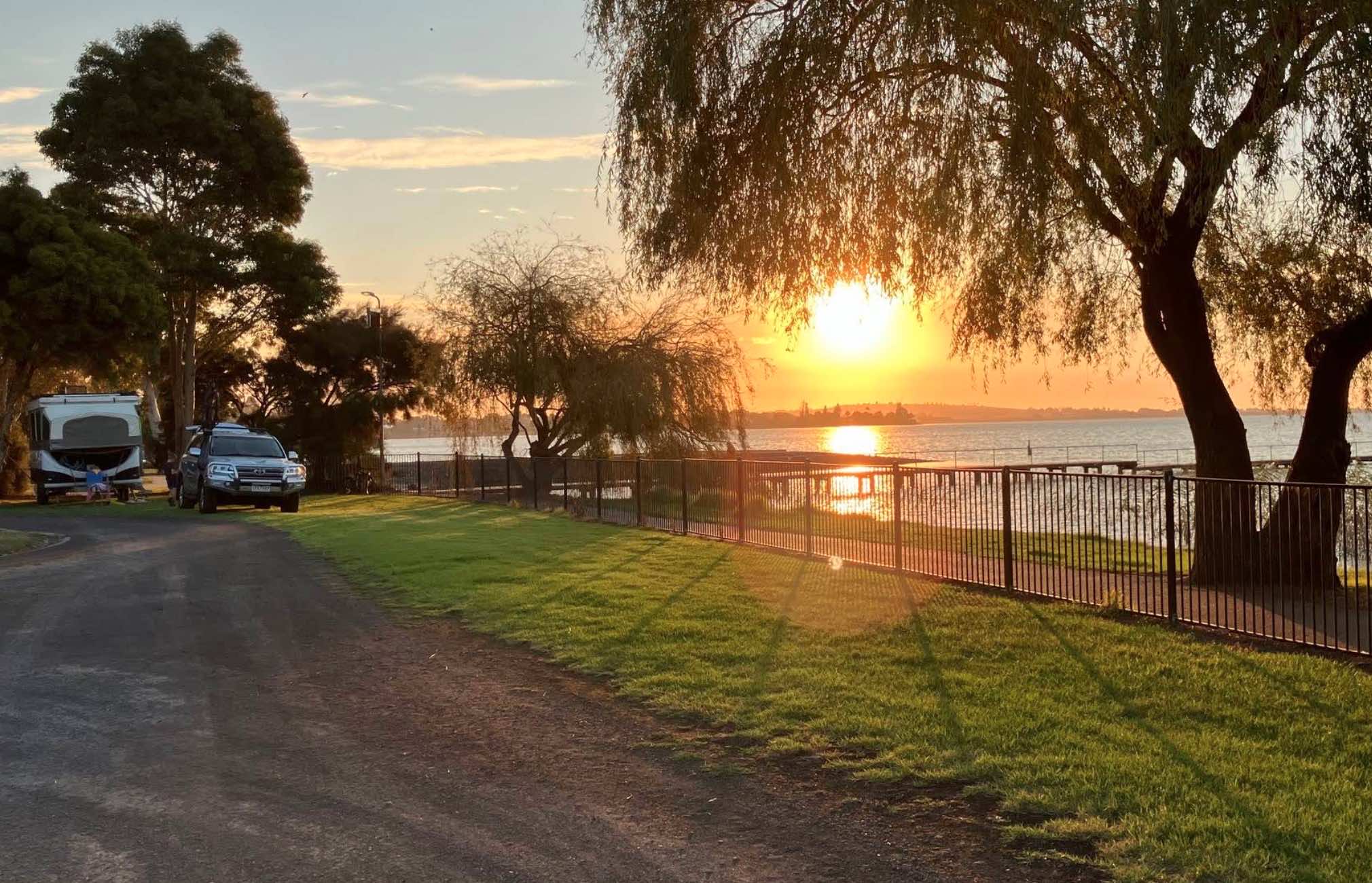
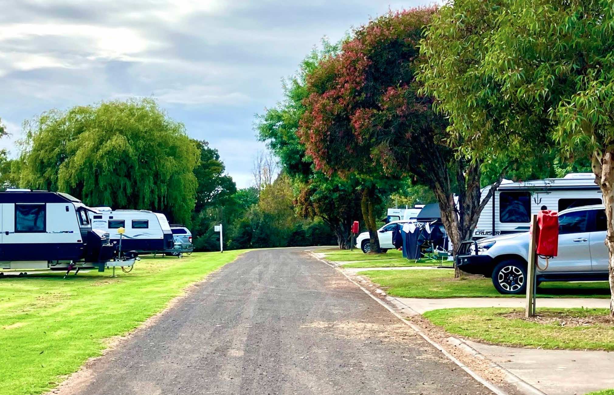
0 reviews
Lake Colac Caravan Park
Lake Colac Caravan Park offers a tranquil and scenic stay right on the foreshore of picturesque Lake Colac, Victoria's largest freshwater lake. It's an ideal base for exploring the vibrant town of Colac, enjoying a range of water- ...
Read More...
Category
Caravan Parks List
Facilities Available, , , , , , , , , , , ,
, , , , , , , , , , , ,
Camping Info
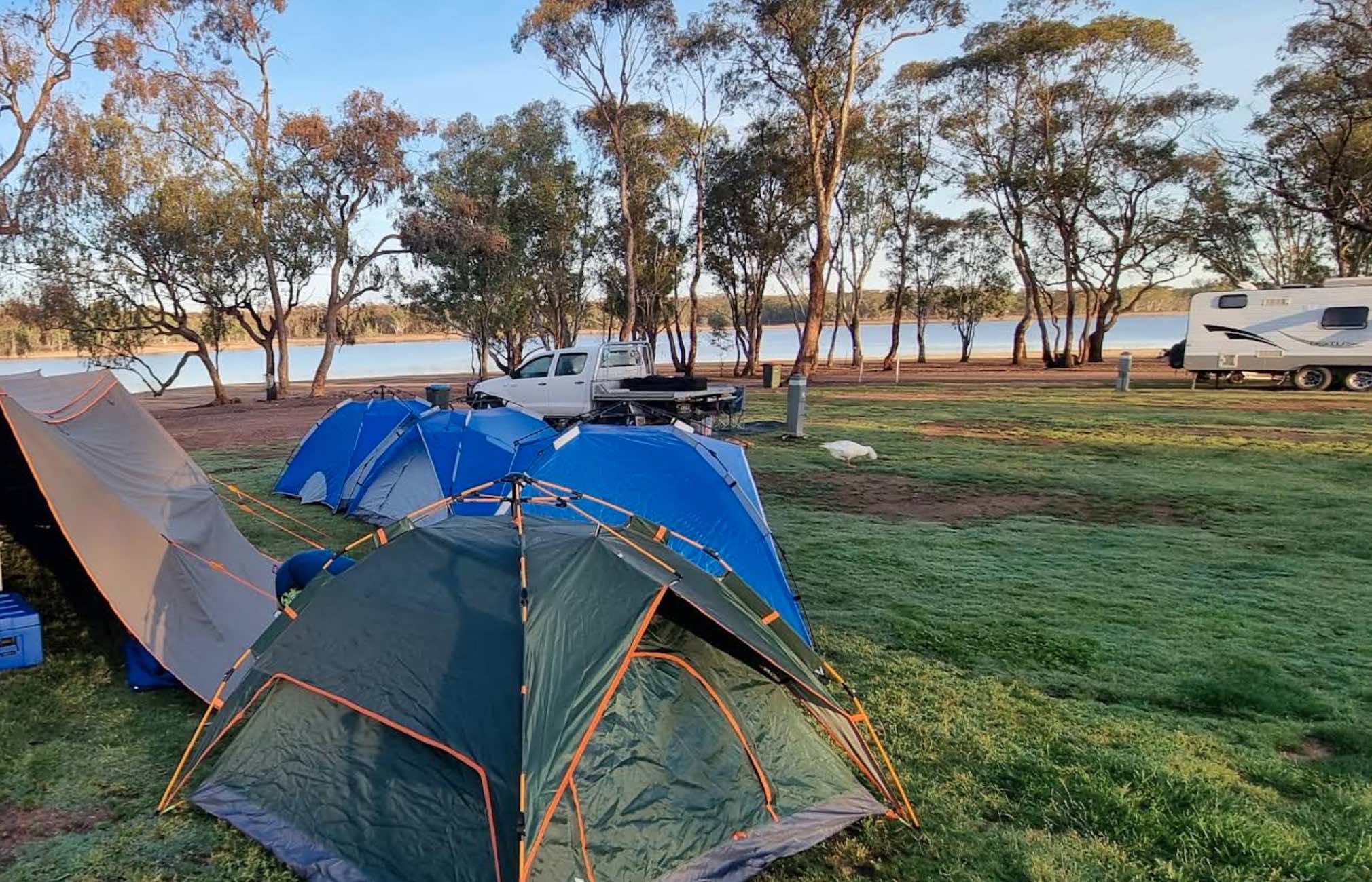
0 reviews
Lake Eppalock Holiday Park
Lake Eppalock Holiday Park boasts an expansive 2.5 kilometres of sweeping lake frontage, making it a premier destination for families, campers, and water enthusiasts alike. Situated on the vast Lake Eppalock, a major reservoir ...
Read More...
Category
Caravan Parks List
Facilities Available, , , , , , , , ,
, , , , , , , , ,
Camping Info
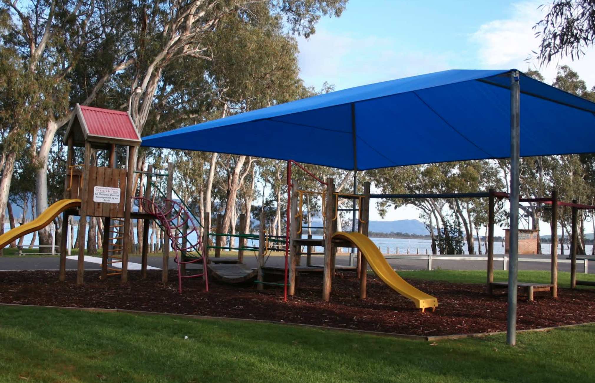
650 Mokepilly Road, Lake Fyans, 3381, Victoria
0 reviews
Lake Fyans Holiday Park
Lake Fyans Holiday Park offers a tranquil and scenic escape nestled on the shores of Lake Fyans, with the majestic Grampians (Gariwerd) National Park forming a stunning backdrop. This park is a nature lover's paradise, providing a ...
Read More...
Category
Caravan Parks List
Facilities Available, , , , , , , , , , , , , , , , , , , ,
, , , , , , , , , , , , , , , , , , , ,
Camping Info
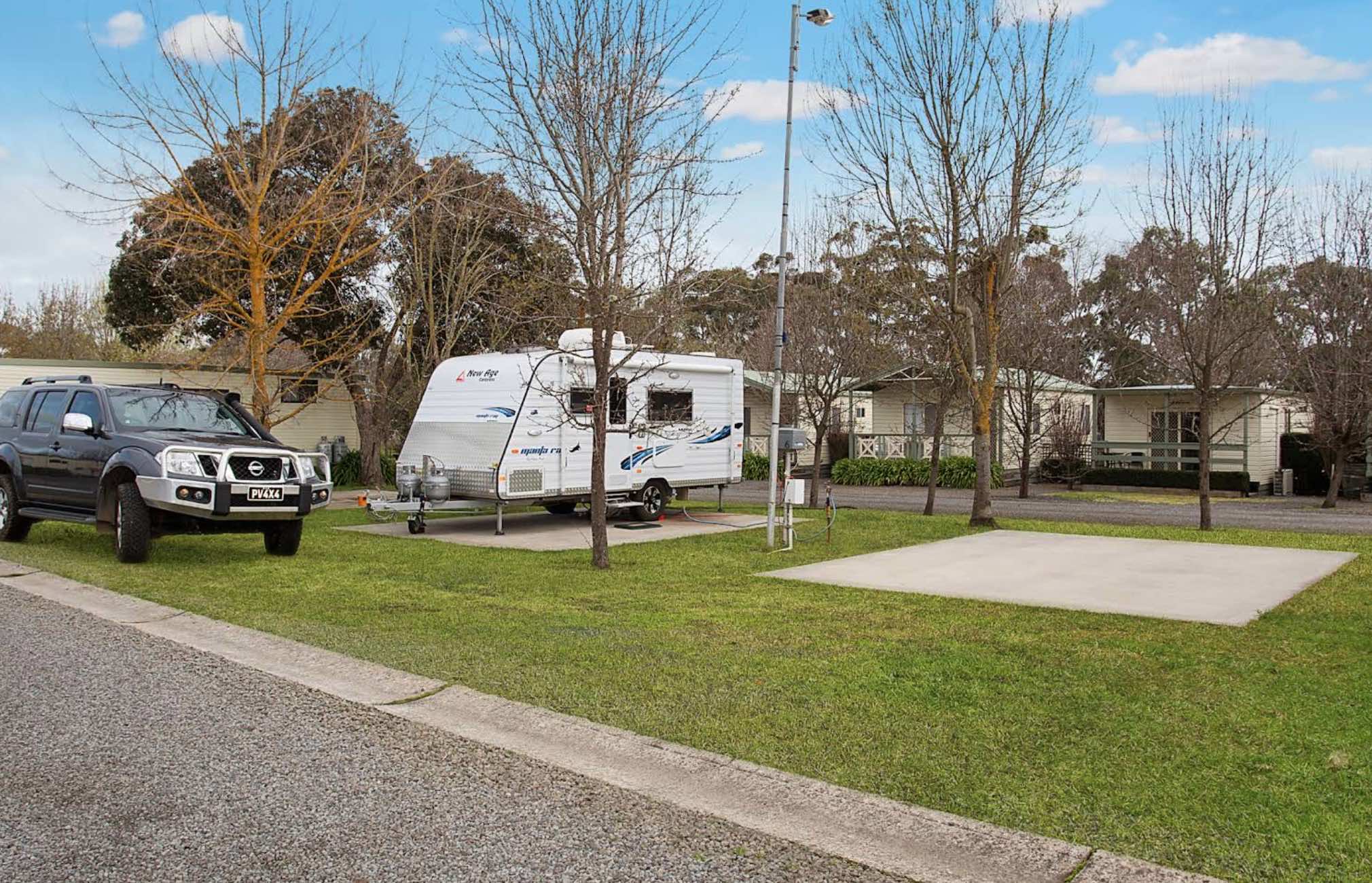
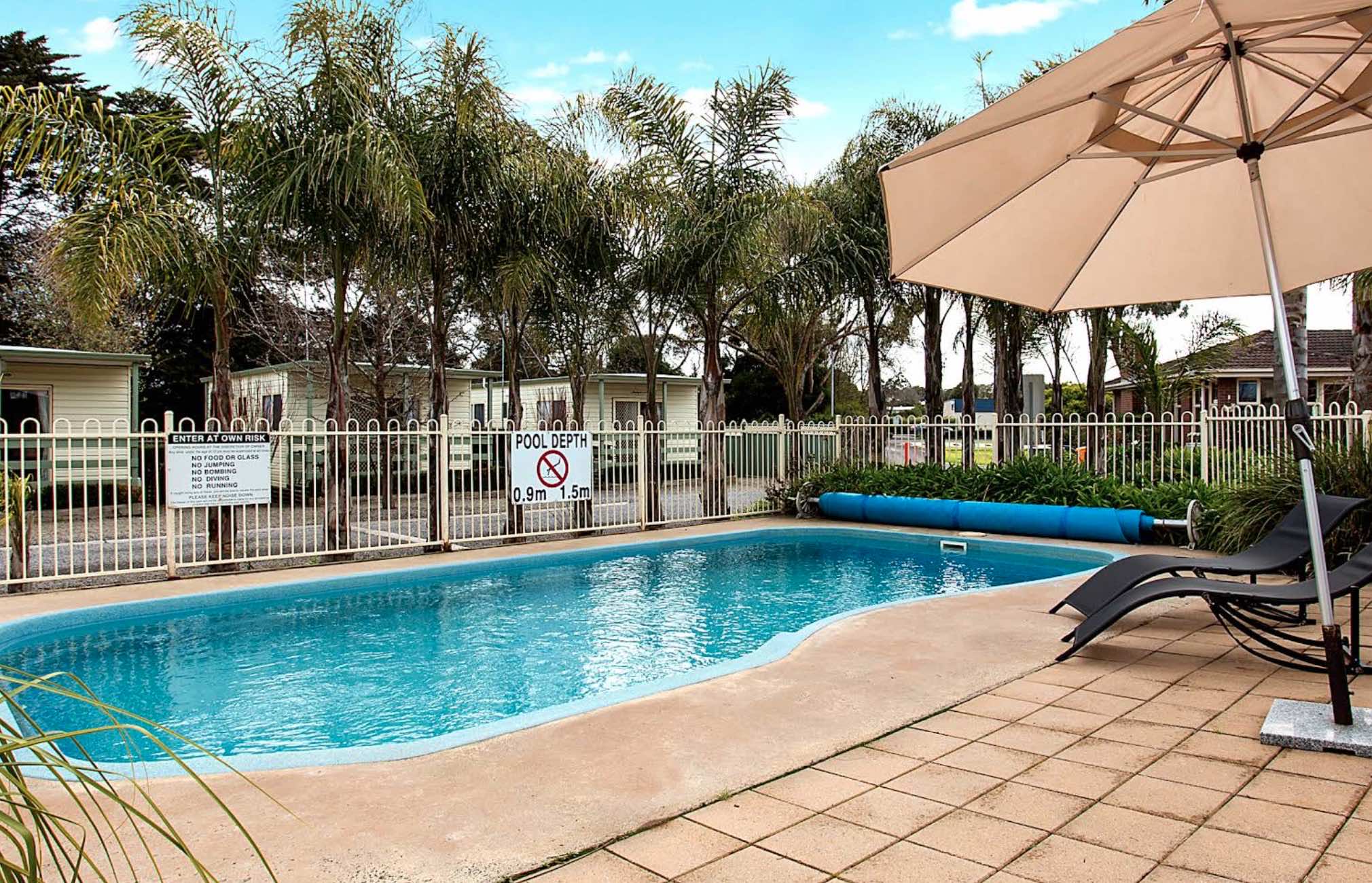
0 reviews
Lake Hamilton Motor Village and Caravan Park
Nestled alongside the tranquil Grange Burn, Lake Hamilton Motor Village and Caravan Park offers a clean, comfortable, and spacious retreat in Hamilton, Victoria. It's a perfect base for exploring the Southern ...
Read More...
Category
Caravan Parks List
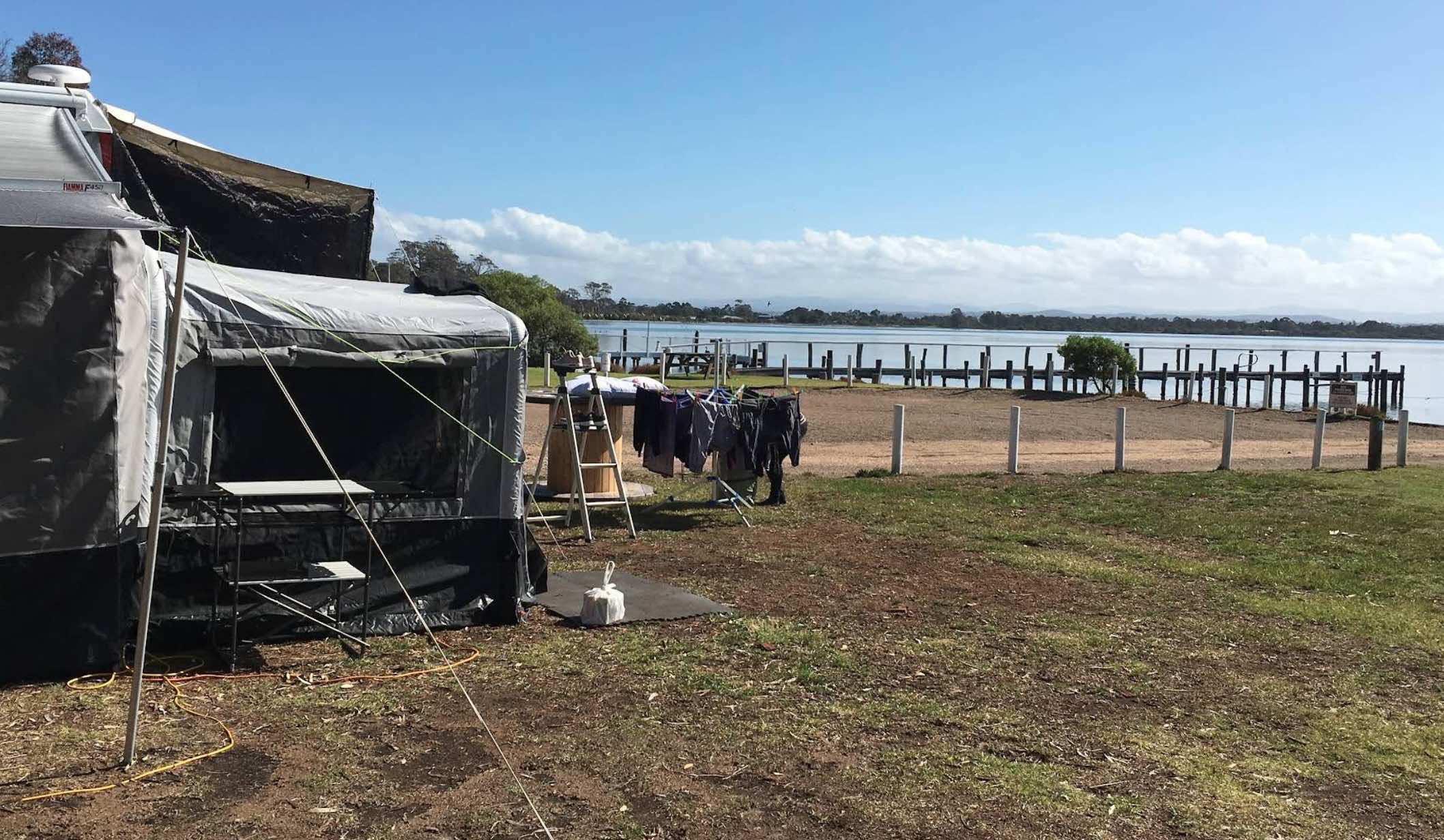
67 Bay Road, Eagle Point, 3878, Victoria
0 reviews
Lake King Waterfront Caravan Park, Eagle Point, Victoria
Lake King Waterfront Caravan Park, also referred to as Lake King Waterfront Holiday Park and located in Eagle Point, offers a superb waterfront setting on the shores of Lake King in Victoria's beau ...
Read More...
Category
Caravan Parks List
Facilities Available, , , , , , , , , ,
, , , , , , , , , ,
Camping Info
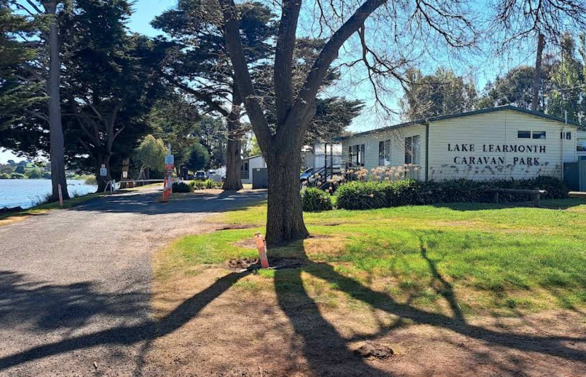
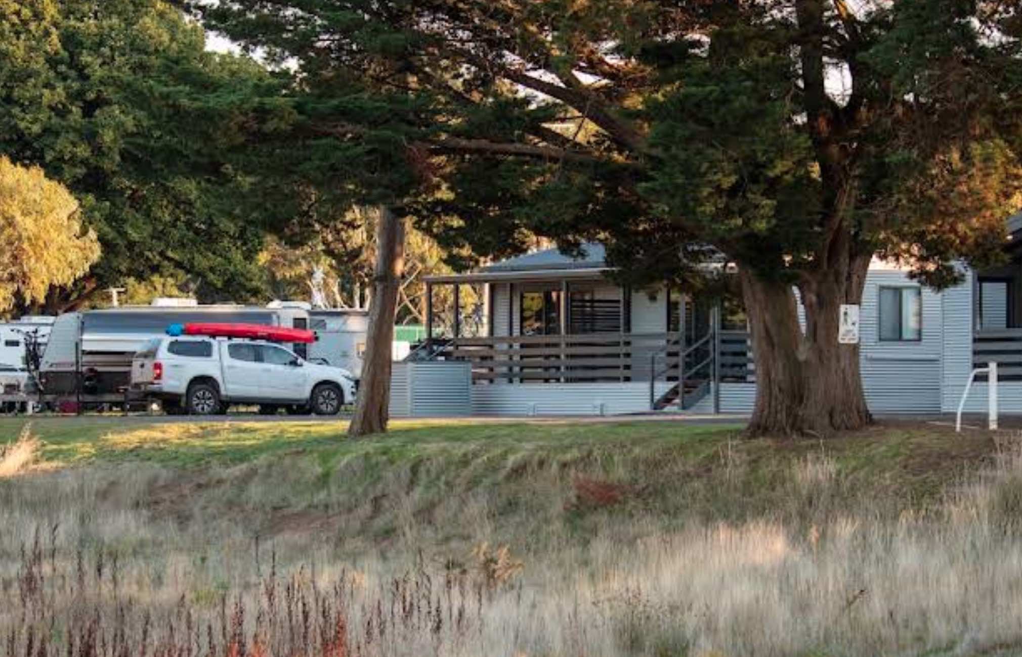
0 reviews
Lake Learmonth Caravan Park
Lake Learmonth Caravan Park offers a tranquil and accommodating escape by the picturesque shores of Lake Learmonth in Learmonth, Victoria. This park is known for its spacious sites, making it suitable for larger caravans and R ...
Read More...
Category
Caravan Parks List
Facilities Available, , , , , , , ,
, , , , , , , ,
Camping Info
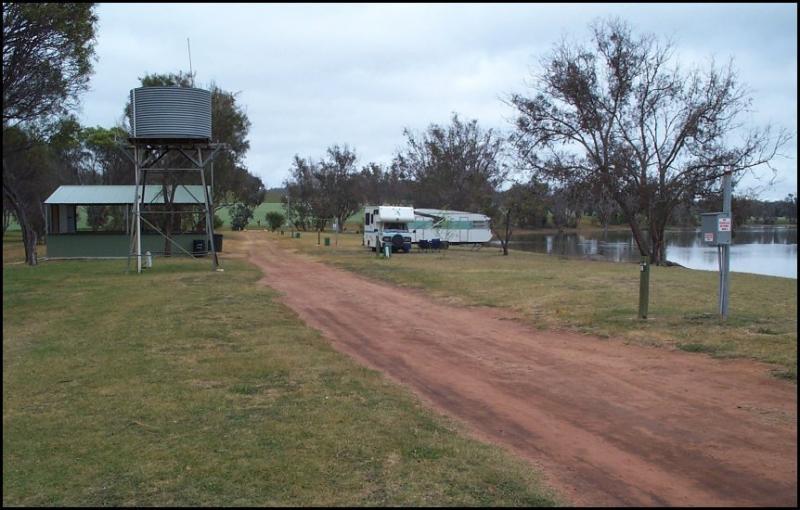
Lake Towerrining Road, Moodiarrup, 6393, Western Australia
0 reviews
Category
Caravan Parks
Facilities Available, , , , , ,
, , , , , ,
Camping Info
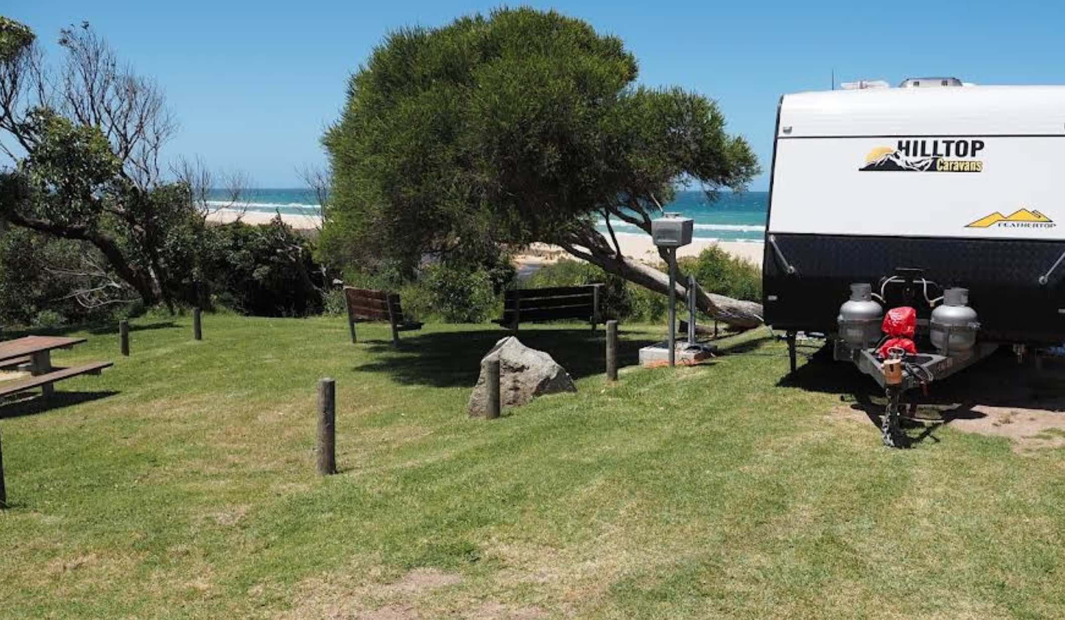
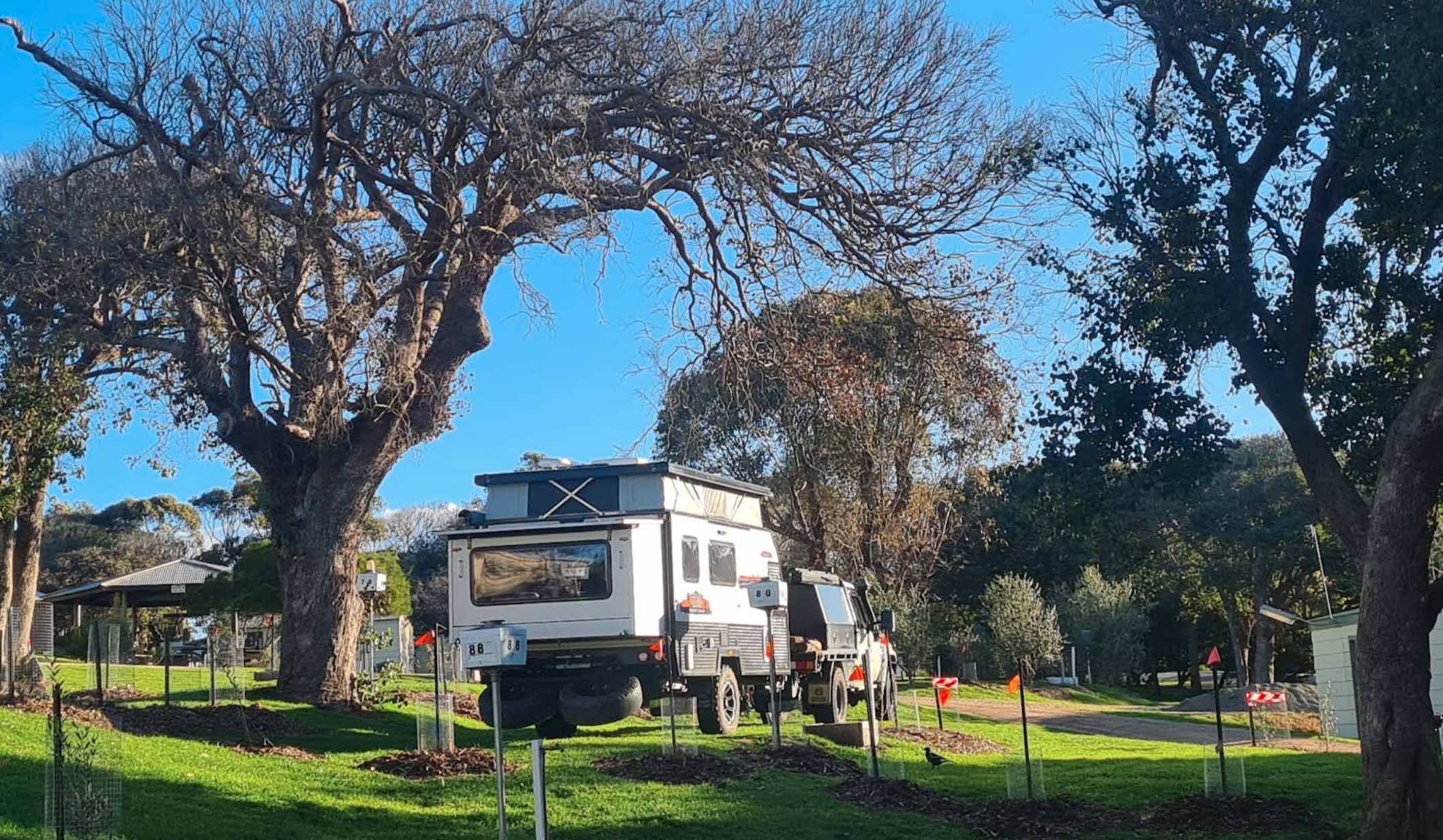
558 Lake Tyers Beach Road, Lake Tyers Beach, 3909, Victoria
0 reviews
Lake Tyers Camp & Caravan Park, Lake Tyers Beach, Victoria
Lake Tyers Camp & Caravan Park offers a picturesque coastal and bushland camping experience at Lake Tyers Beach in Victoria. Owned and operated on behalf of the Uniting Church in Australi ...
Read More...
Category
Caravan Parks List
Facilities Available, , , , , ,
, , , , , ,
Camping Info
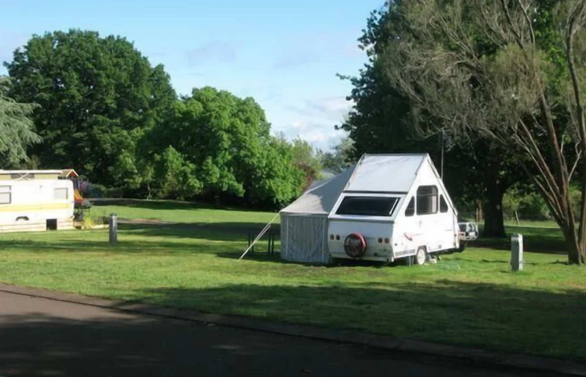
220 Park Road, Camperdown, 3260, Victoria
0 reviews
Lakes & Craters Holiday Park
Perched on a ridge between the stunning volcanic lakes of Lake Bullen Merri and Lake Gnotuk, Lakes & Craters Holiday Park in Camperdown, Victoria, offers truly panoramic views of the unique "Lakes and Craters country. ...
Read More...
Category
Caravan Parks List
Facilities Available, , , , , , , , , , , , ,
, , , , , , , , , , , , ,
Camping Info
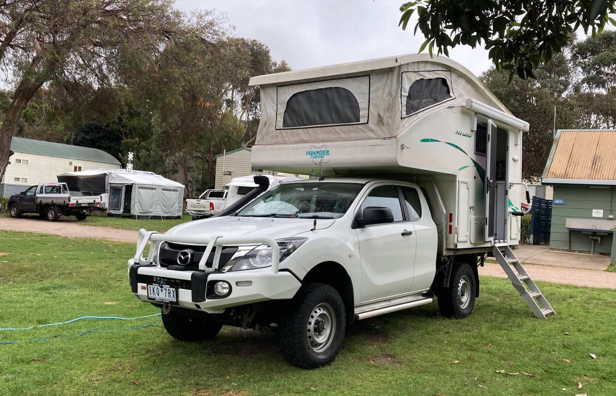
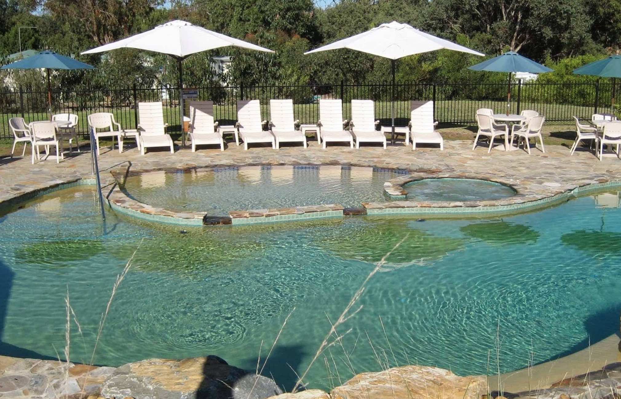
430 Lake Tyers Beach Road, Lake Tyers Beach, 3909, Victoria
0 reviews
Lakes Beachfront Holiday Retreat
Lakes Beachfront Holiday Retreat is a superb holiday park offering absolute beachfront access to the magnificent Ninety Mile Beach at Lake Tyers Beach, just a short 5-minute drive from the popular tourist hub of Lakes Ent ...
Read More...
Category
Caravan Parks List
Facilities Available, , , , , , , , , , , , , , , , , , ,
, , , , , , , , , , , , , , , , , , ,
Camping Info
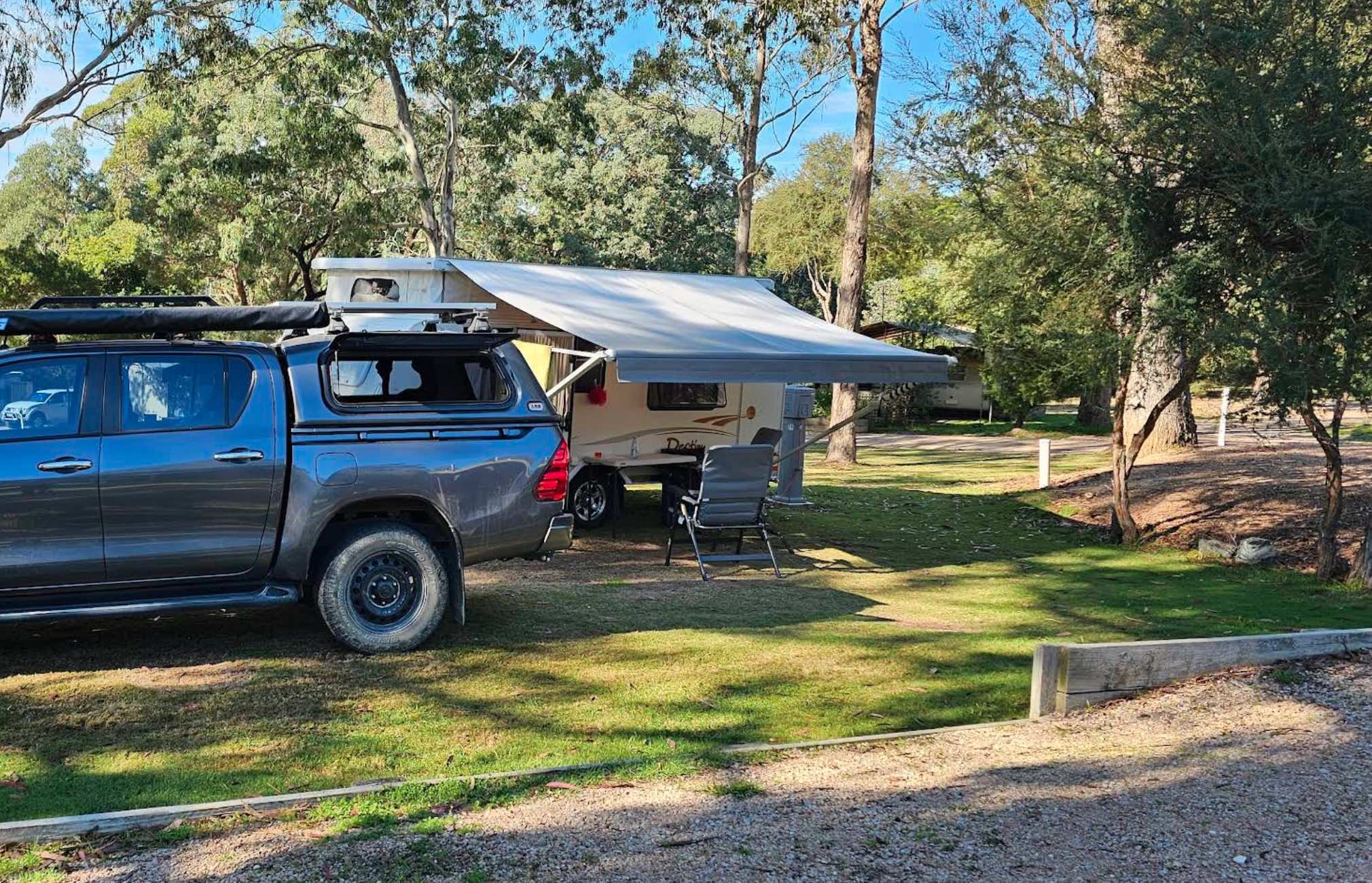
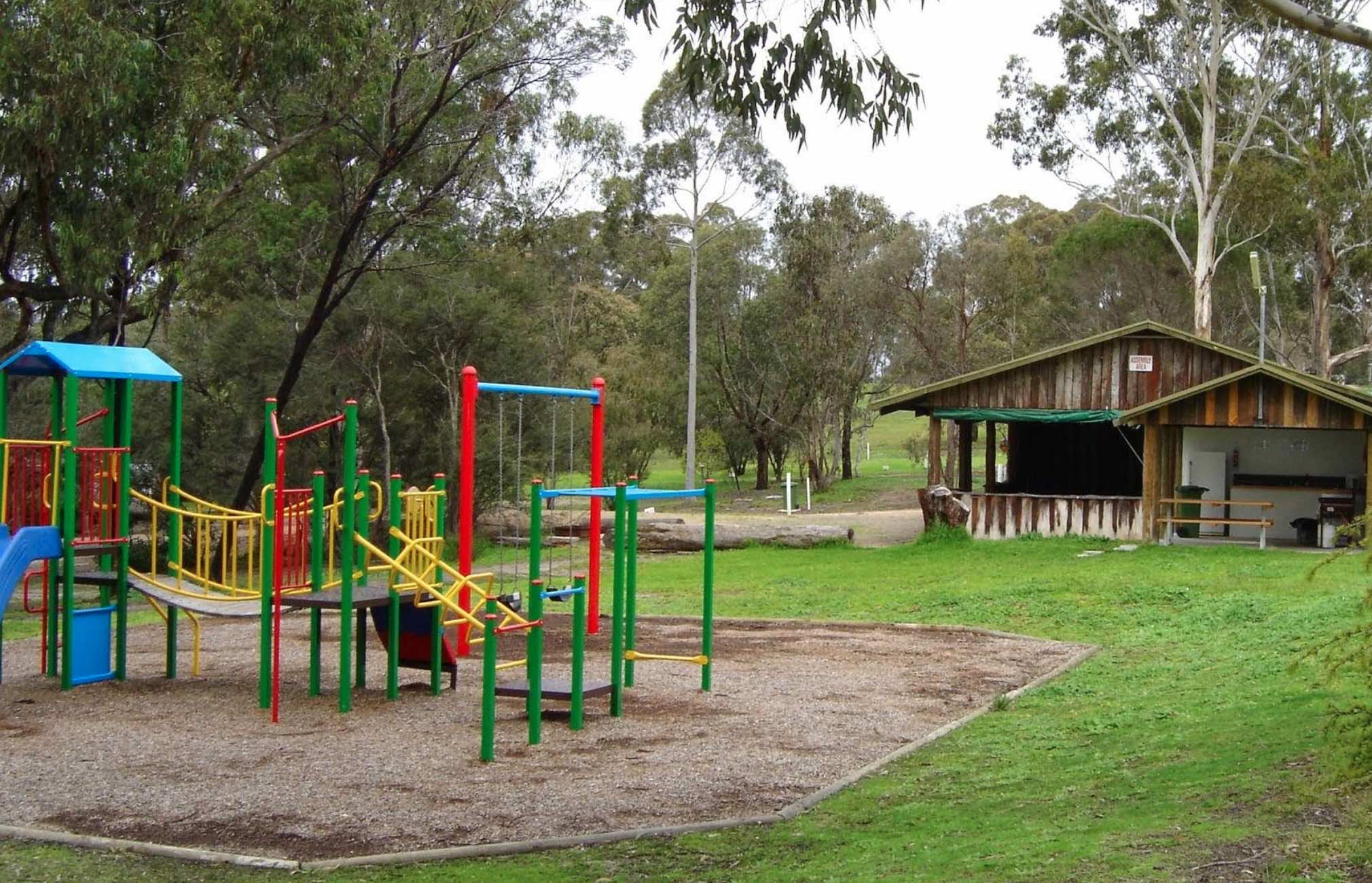
0 reviews
Lakes Bushland Caravan Park: A Bushland Retreat in Nicholson, Victoria
Nestled on 32 acres of peaceful bushland in Nicholson, Victoria, Lakes Bushland Caravan and Lifestyle Park offers a tranquil escape with a range of facilities for a relaxing holiday. ...
Read More...
Category
Caravan Parks List
Facilities Available, , , , , , , , , , , , ,
, , , , , , , , , , , , ,
Camping Info
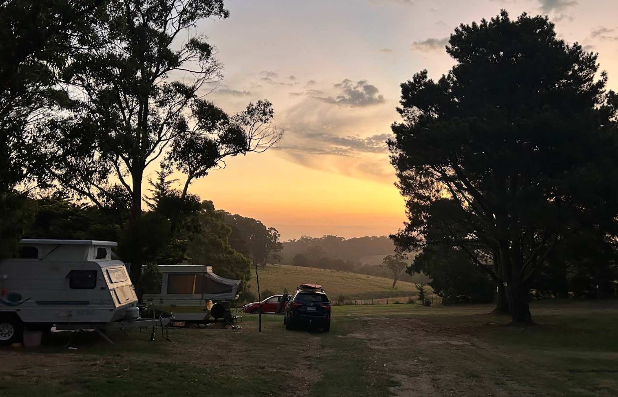
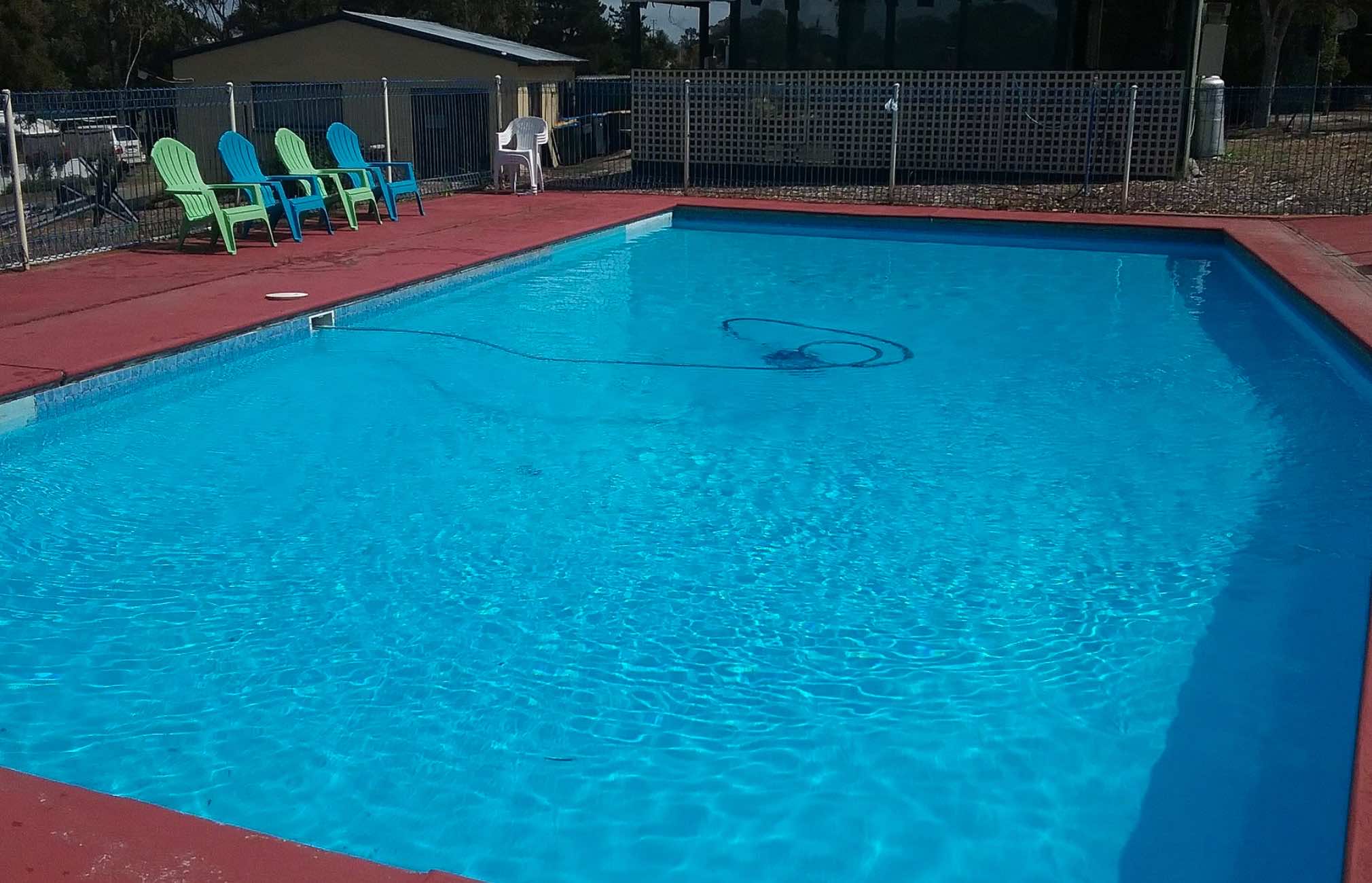
3192 Princes Highway, Lakes Entrance, 3909, Victoria
0 reviews
Lakes Caravilla Caravan Park
Lakes Caravilla Caravan Park offers a tranquil and family-friendly escape, conveniently located on the Princes Highway in Kalimna, just 1.8km from the heart of Lakes Entrance, Victoria. This park is known for its spacious, op ...
Read More...
Category
Caravan Parks List
Facilities Available, , , , , , , , , , ,
, , , , , , , , , , ,
Camping Info
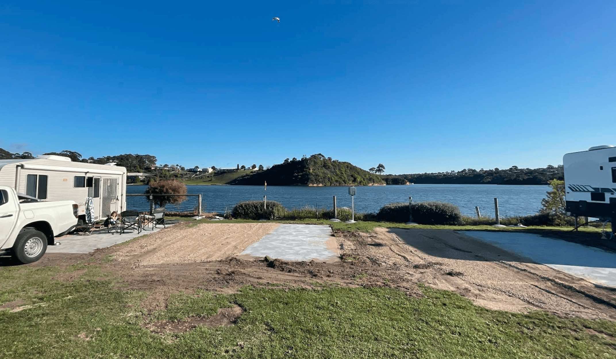

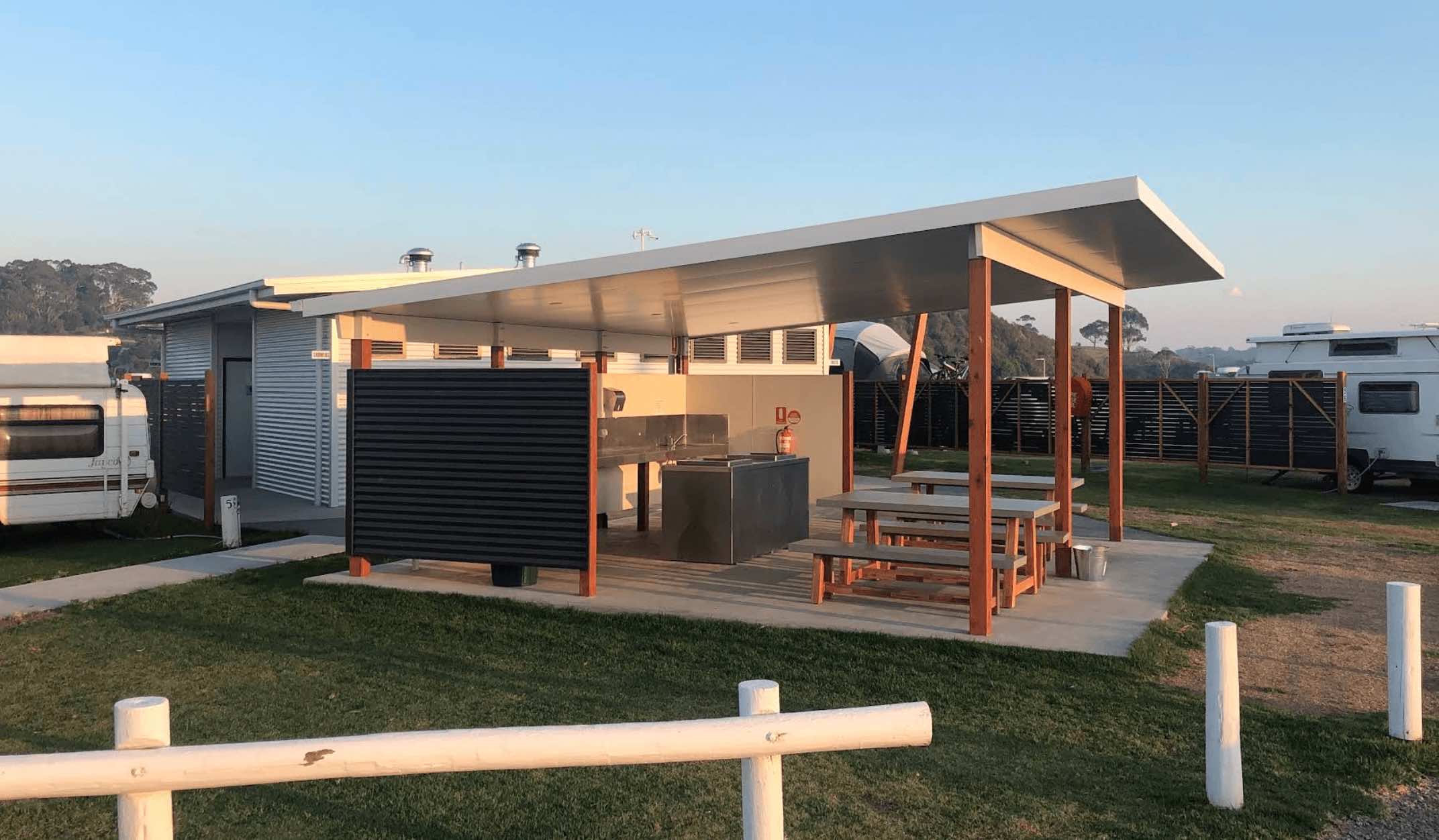
1 Rowe Street, Lakes Entrance, 3909, Victoria
0 reviews
If you're planning a trip to Lakes Entrance and looking for a spot to set up camp that's right in the heart of it, the Lakes Entrance Recreation & Camping Reserve is a fair crack at it. It's a classic, no-frills sort of place, run under the Crown Land ...
Read More...
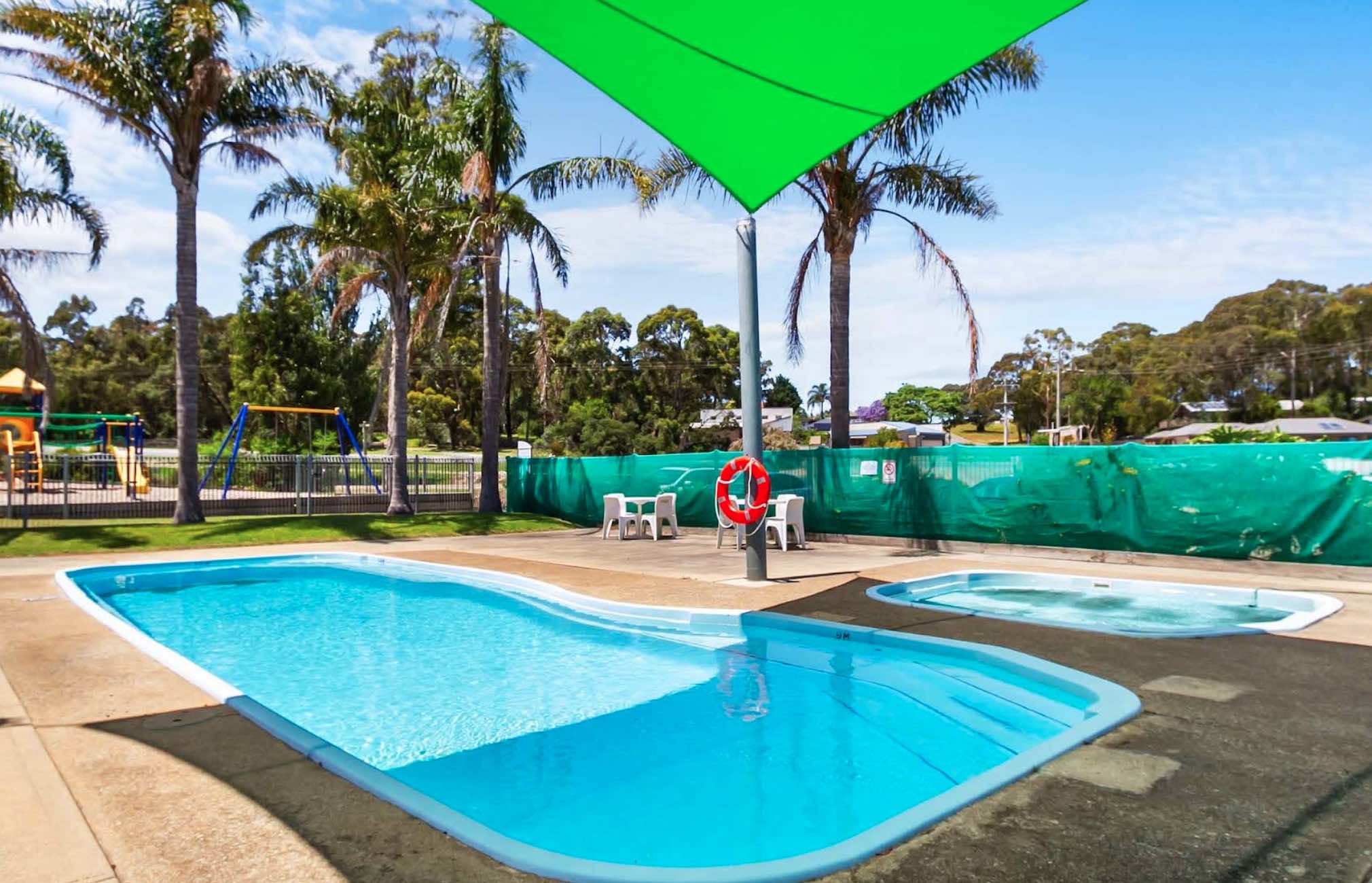
127 Princes Highway, Lakes Entrance, 3909, Victoria
0 reviews
Lakes Entrance Tourist Park
Lakes Entrance Tourist Park offers a spacious and welcoming holiday haven, perfectly situated on 6 acres of parkland at 127 Princes Highway, Lakes Entrance, Victoria. Just 2.5 kilometres from the bustling town centre, this par ...
Read More...
Category
Caravan Parks List
Facilities Available, , , , , , , , , , , ,
, , , , , , , , , , , ,
Camping Info
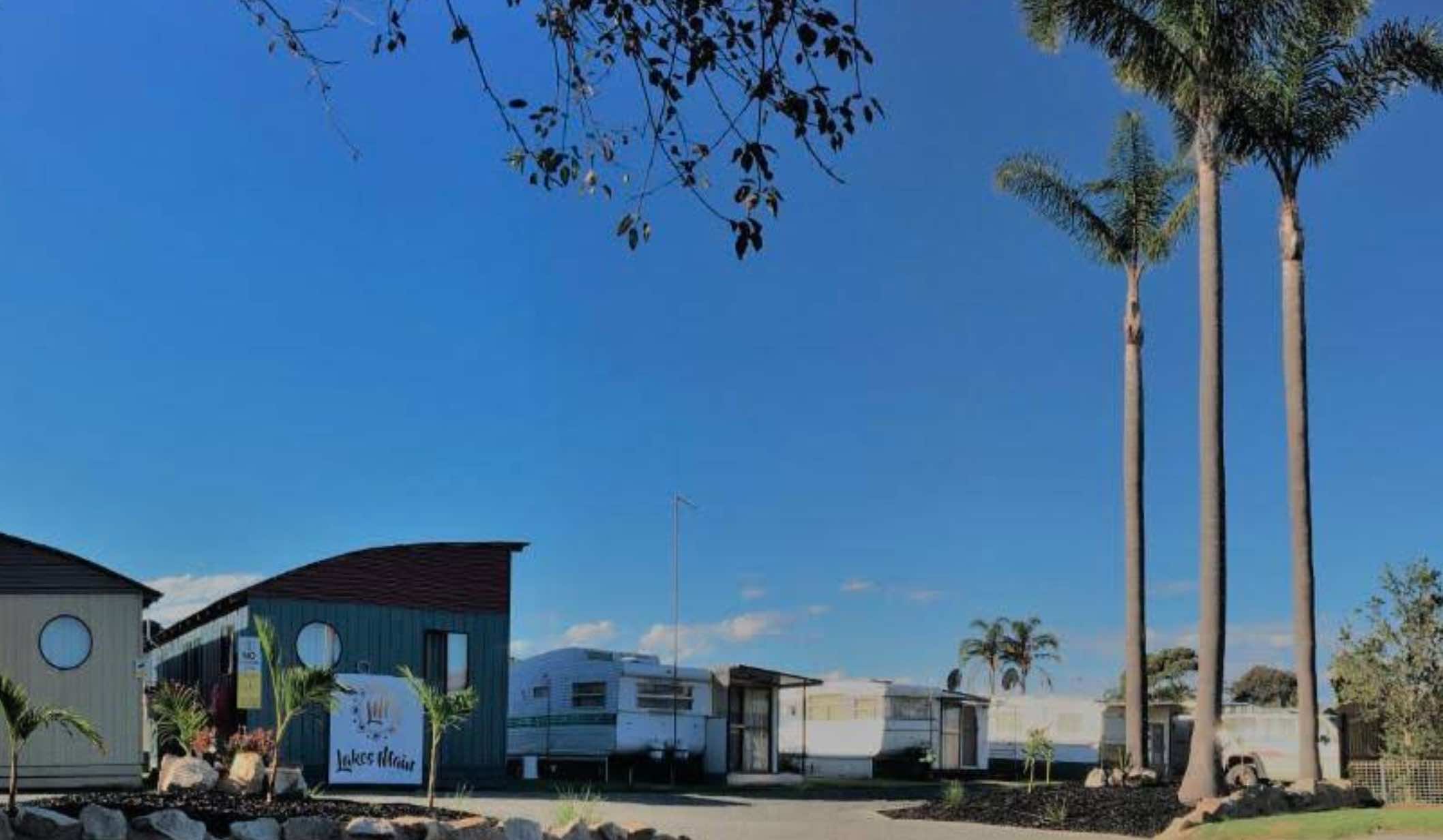

7 Willis Street, Lakes Entrance, 3909, Victoria
0 reviews
Lakes Main Holiday Park, Lakes Entrance, Victoria
Lakes Main Holiday Park in Lakes Entrance, Victoria, offers a convenient and well-equipped base for exploring the beautiful Gippsland Lakes region and the nearby Ninety Mile Beach. Situated in a quiet res ...
Read More...
Category
Caravan Parks List
Facilities Available, , , , , , , ,
, , , , , , , ,
Camping Info
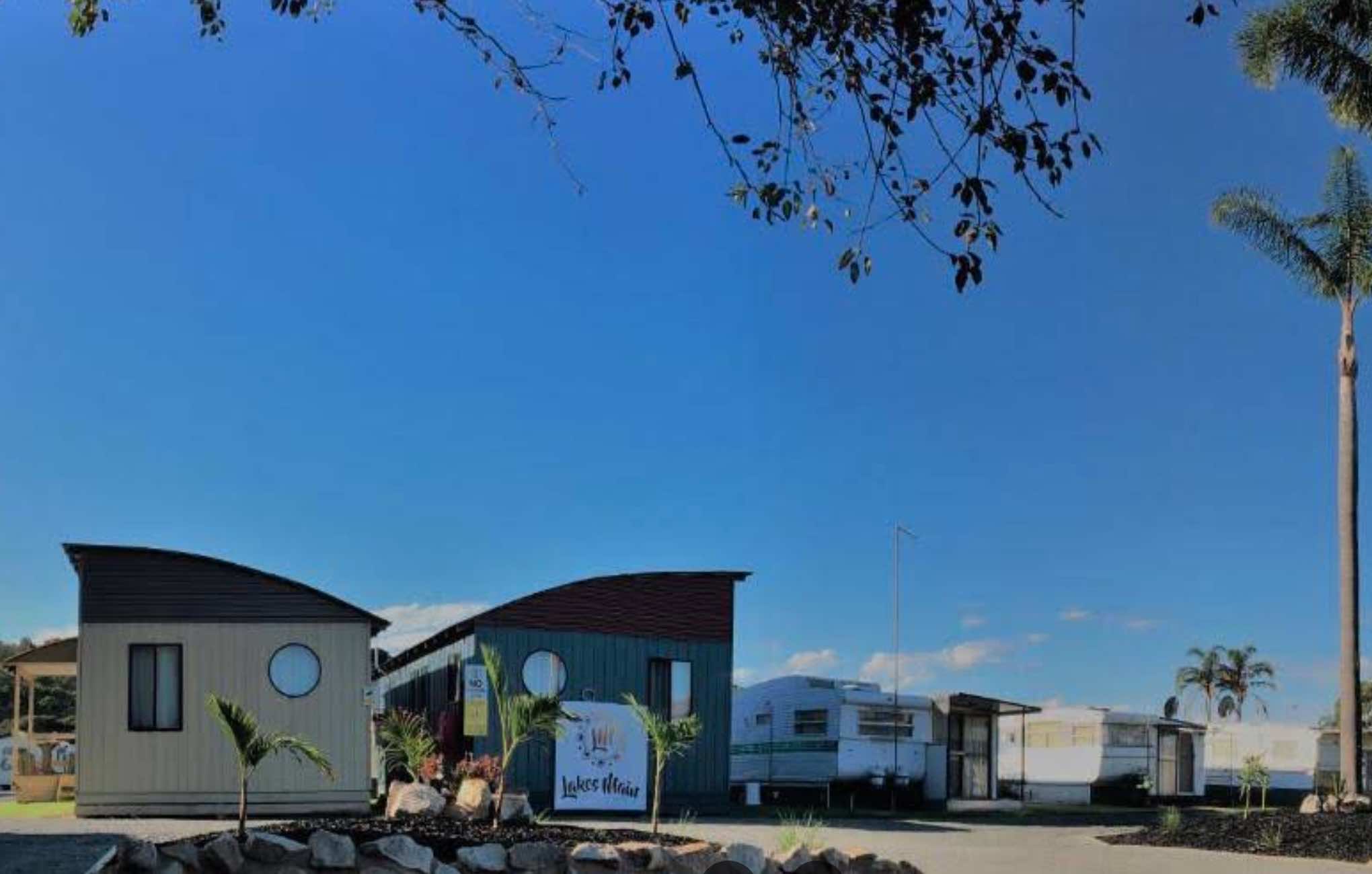
7 Willis Street, Lakes Entrance, 3909, Victoria
0 reviews
Lakes Main Holiday Park
Lakes Main Holiday Park offers a friendly, quiet, and relaxing holiday experience in Lakes Entrance, one of Victoria's most popular coastal destinations. Tucked away in a peaceful residential area with bushland at the rear, the pa ...
Read More...
Category
Caravan Parks List
Facilities Available, , , , , , , , , , , ,
, , , , , , , , , , , ,
Camping Info
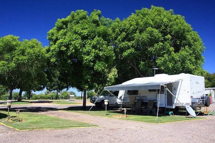
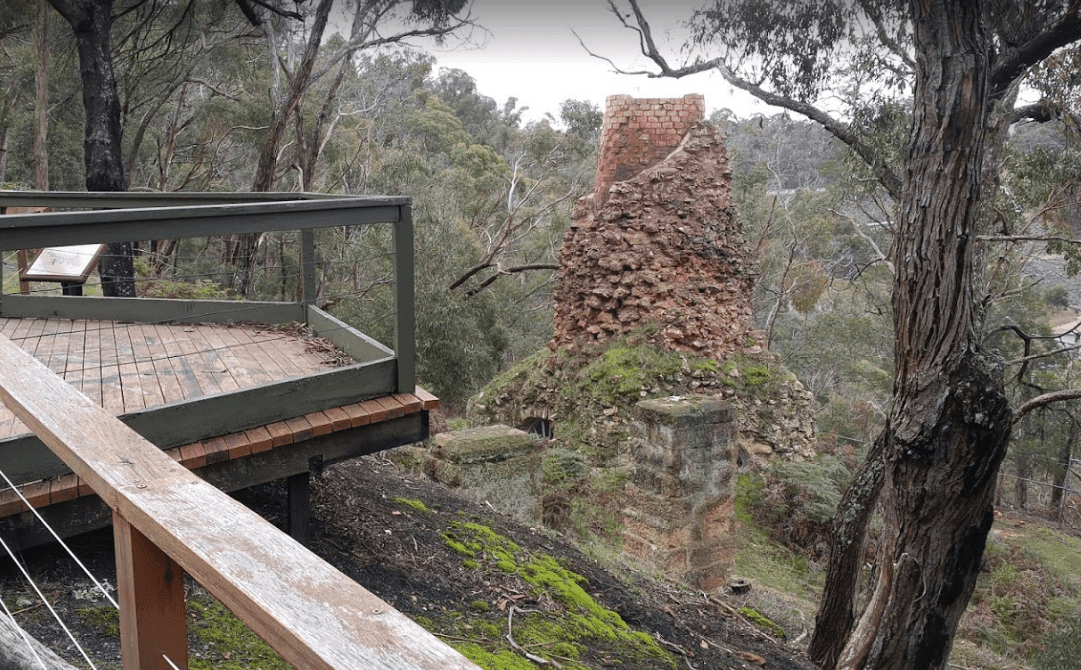
0 reviews
The Lal Lal Blast Furnace Rest Area has a picturesque short historical walk at a unique and interesting chapter of Victorian history. There are flushing toilets and a picnic area consisting of some grass that you can put a blanket down on. Be sure to take ...
Read More...
Category
Sightseeing Locations
Facilities Available, , , ,
, , , ,
Camping Info

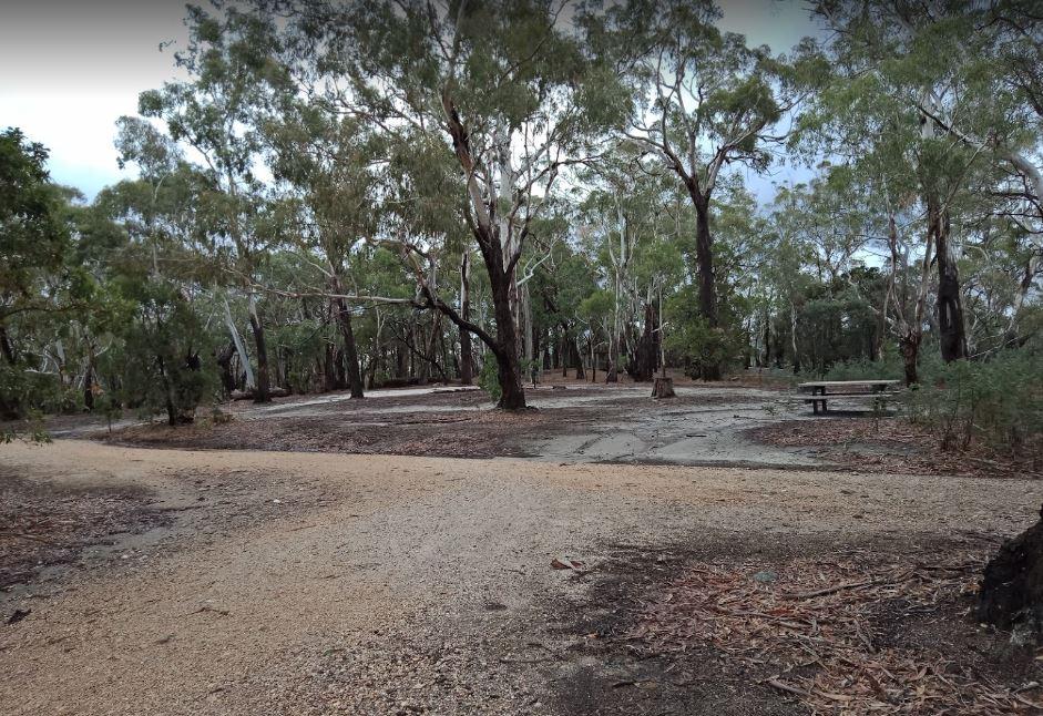
0 reviews
Lalgambook Picnic Area was once considered the richest alluvial gold-field in the world. Checkout the Old Silkworm Farm (GPS -37.014618,144.31176) and a few other archaeological features associated with it.
Category
Free Camping
Facilities Available, , ,
, , ,
Camping Info
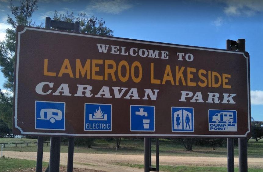
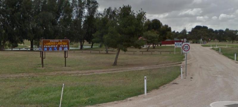
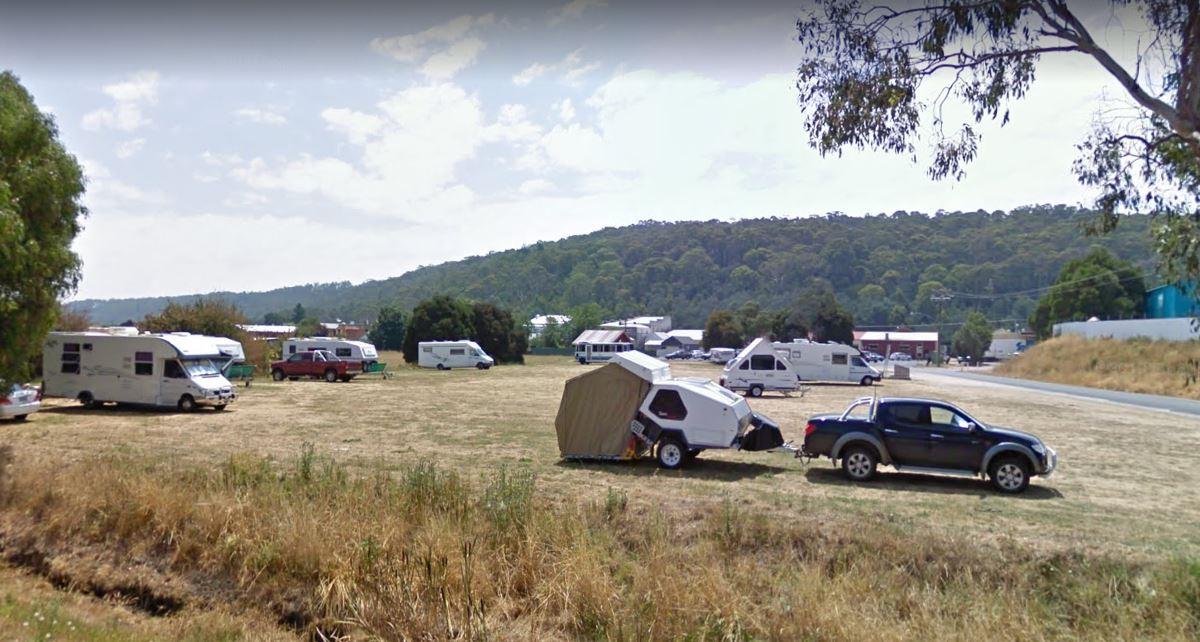
0 reviews
From the Latrobe Motorhome Stop you can take a stroll over to the main shopping centre in Gilbert Street and stock up at the IGA supermarket, and be sure to check out the other shops there also.
Category
Camping Fees Apply
Facilities Available, , , ,
, , , ,
Camping Info,
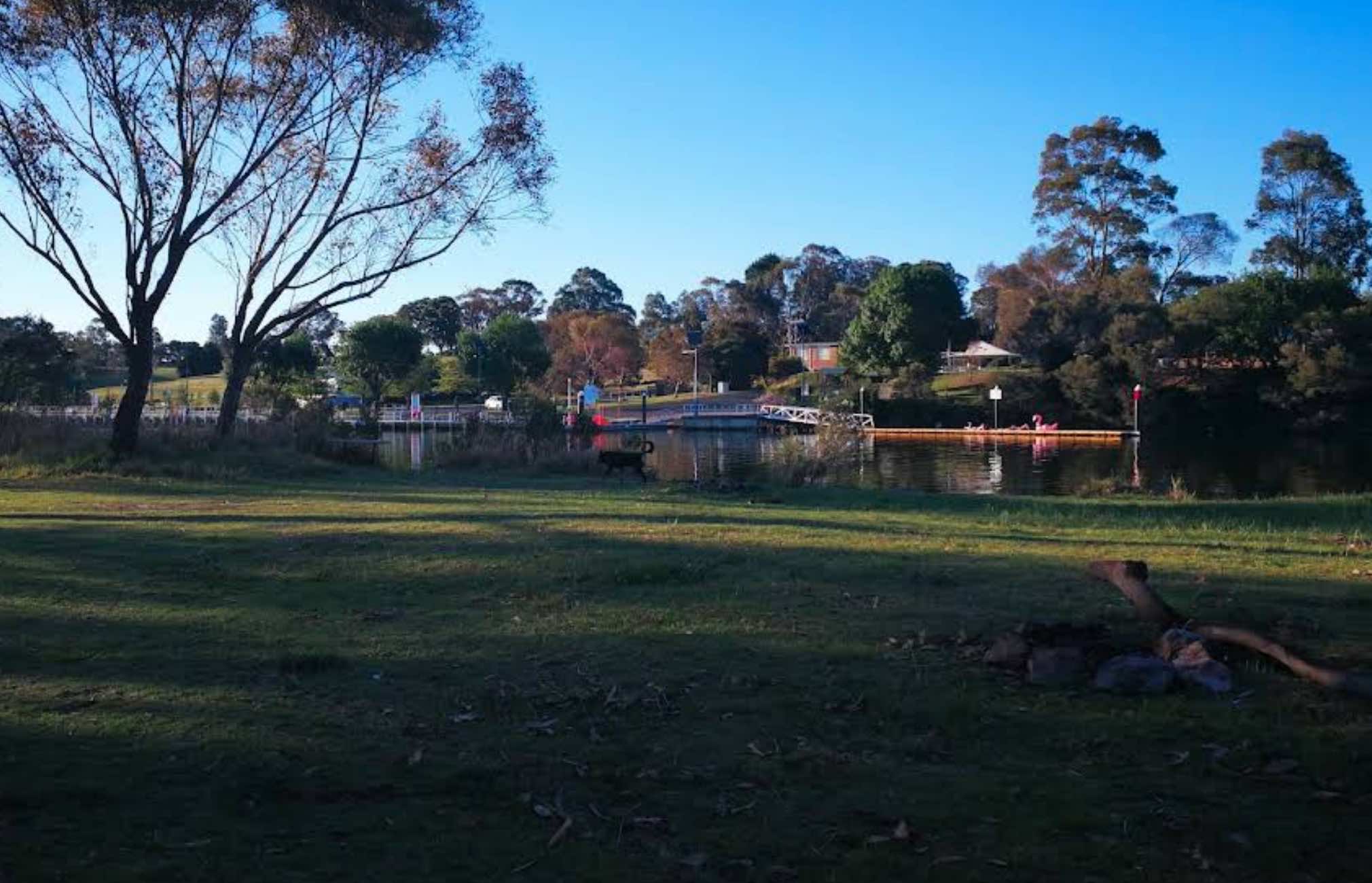
62 Punt Road, Johnsonville, 3902, Victoria
0 reviews
Lealow Caravan Park
Lealow Caravan Park offers a truly tranquil and picturesque escape in Johnsonville, East Gippsland, Victoria. Situated on 300 acres of rural land, this park boasts stunning views over the beautiful Tambo River and is teeming with loca ...
Read More...
Category
Caravan Parks List
Facilities Available, , , , , , , ,
, , , , , , , ,
Camping Info
0 reviews
At the Leven Canyon Camping Area if you intend to take the 1.2km circuit walk allow a minimum of 45 minutes, be prepared for 697 Steps and some steep sections in the walking track. Also be prepared for severe weather conditions that change quite quickly, ...
Read More...
Category
Free Camping
Facilities Available, , , , ,
, , , , ,
Camping Info, ,
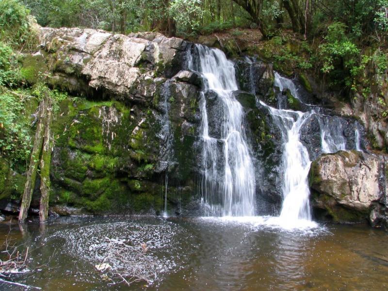
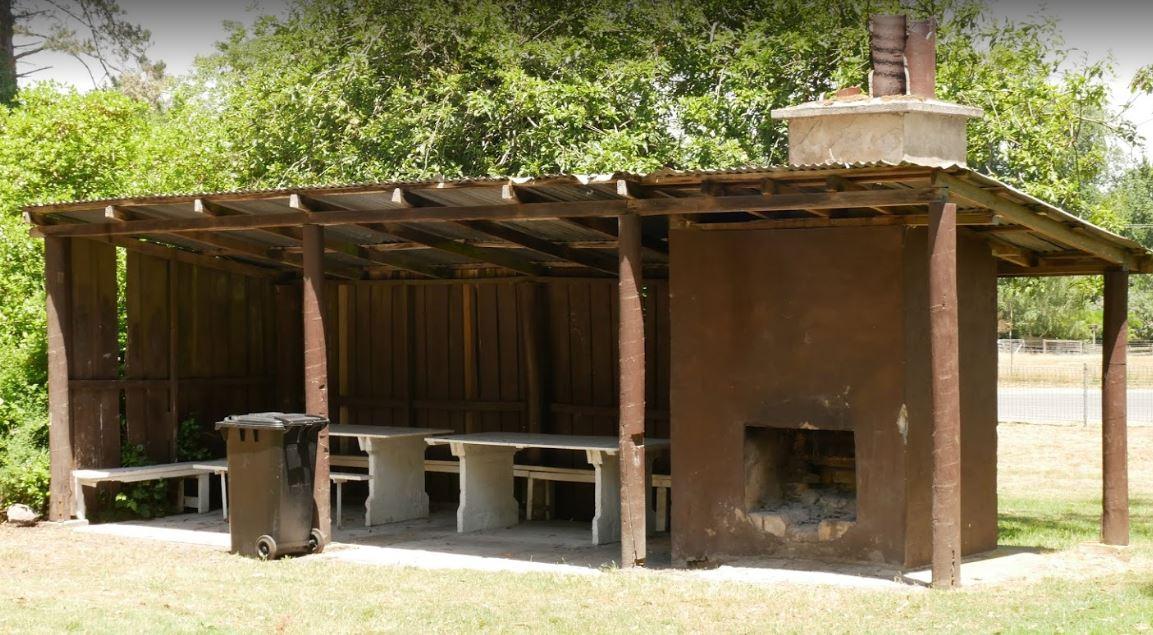
0 reviews
From the Lilydale Falls Reserve Camping Area is best suited to vehicle based tents. It's a short walk to the waterfall, and well worth your time to check it out. Remember to take your camera as you will be snapping off a few shots along your walk.
2!1sen ...
Read More...
Category
Free Camping
Facilities Available, , , ,
, , , ,
Camping Info, ,
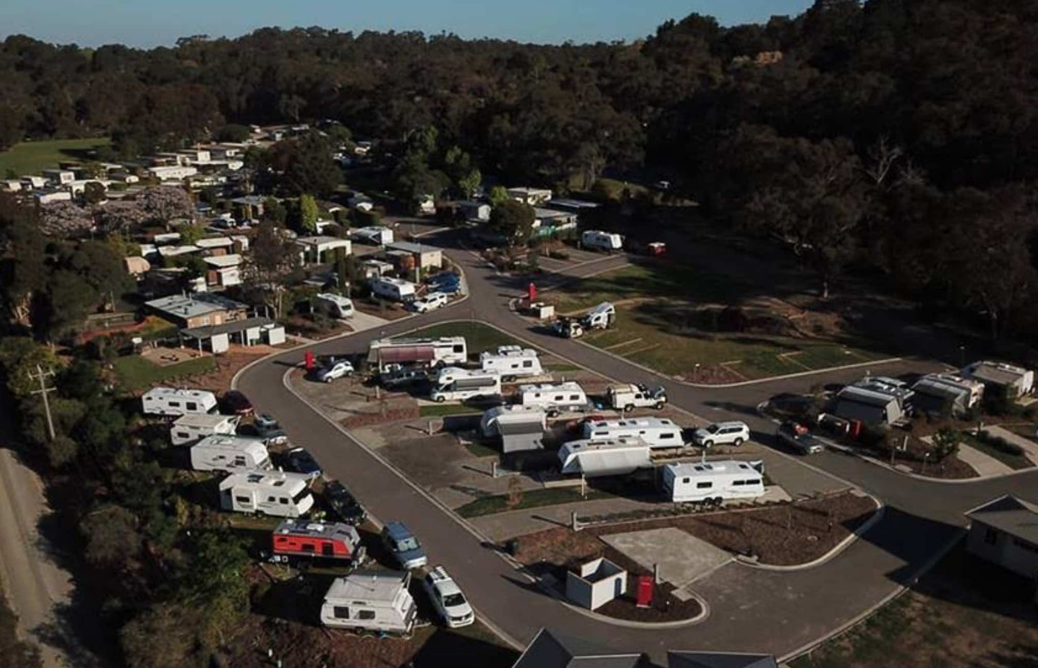
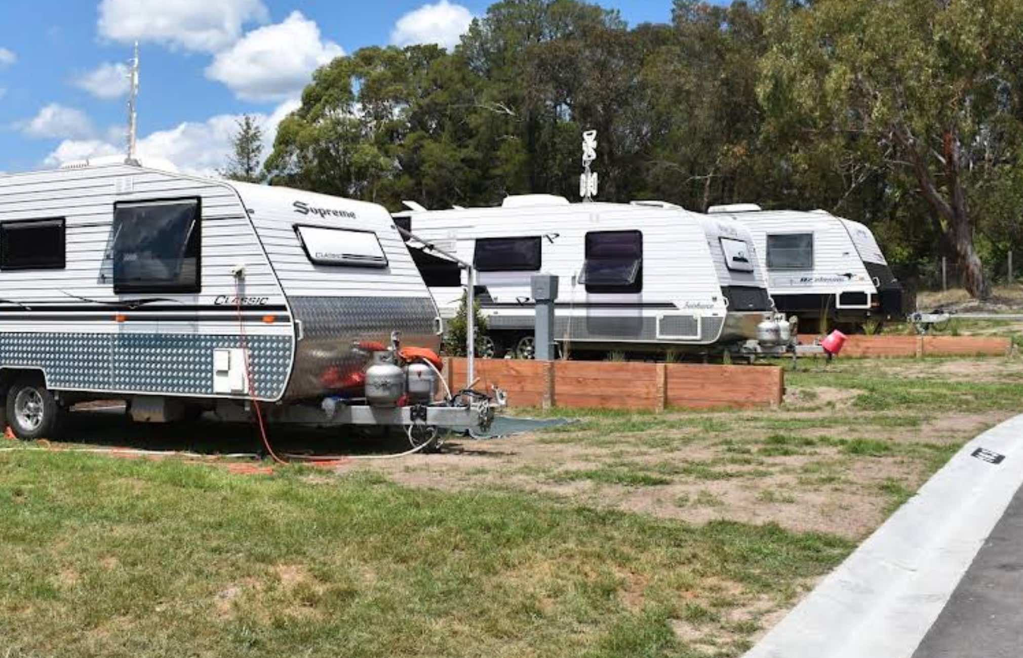
0 reviews
Lilydale Pine Hill Caravan Park
Lilydale Pine Hill Caravan Park is perfectly positioned at the gateway to Victoria's renowned Yarra Valley and the majestic Dandenong Ranges. This 10-acre park offers a peaceful rural setting with native landscaping and ab ...
Read More...
Category
Caravan Parks List
Facilities Available, , , , , , , , , , , , , , , , , , ,
, , , , , , , , , , , , , , , , , , ,
Camping Info, ,
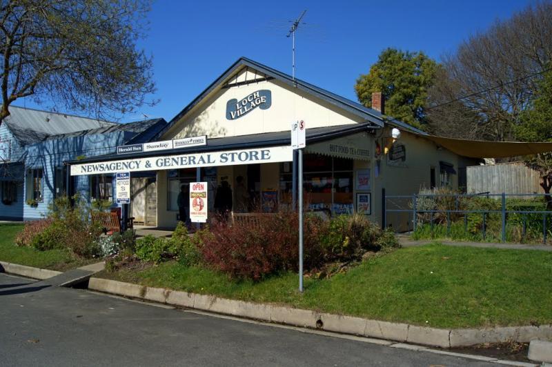
0 reviews
From the Loch Memorial Reserve Camping Area, you can take a short stroll down Victoria Road to the local General Store and pick up a newspaper and some supplies.
Category
Camping Fees Apply
Facilities Available, , , ,
, , , ,
Camping Info
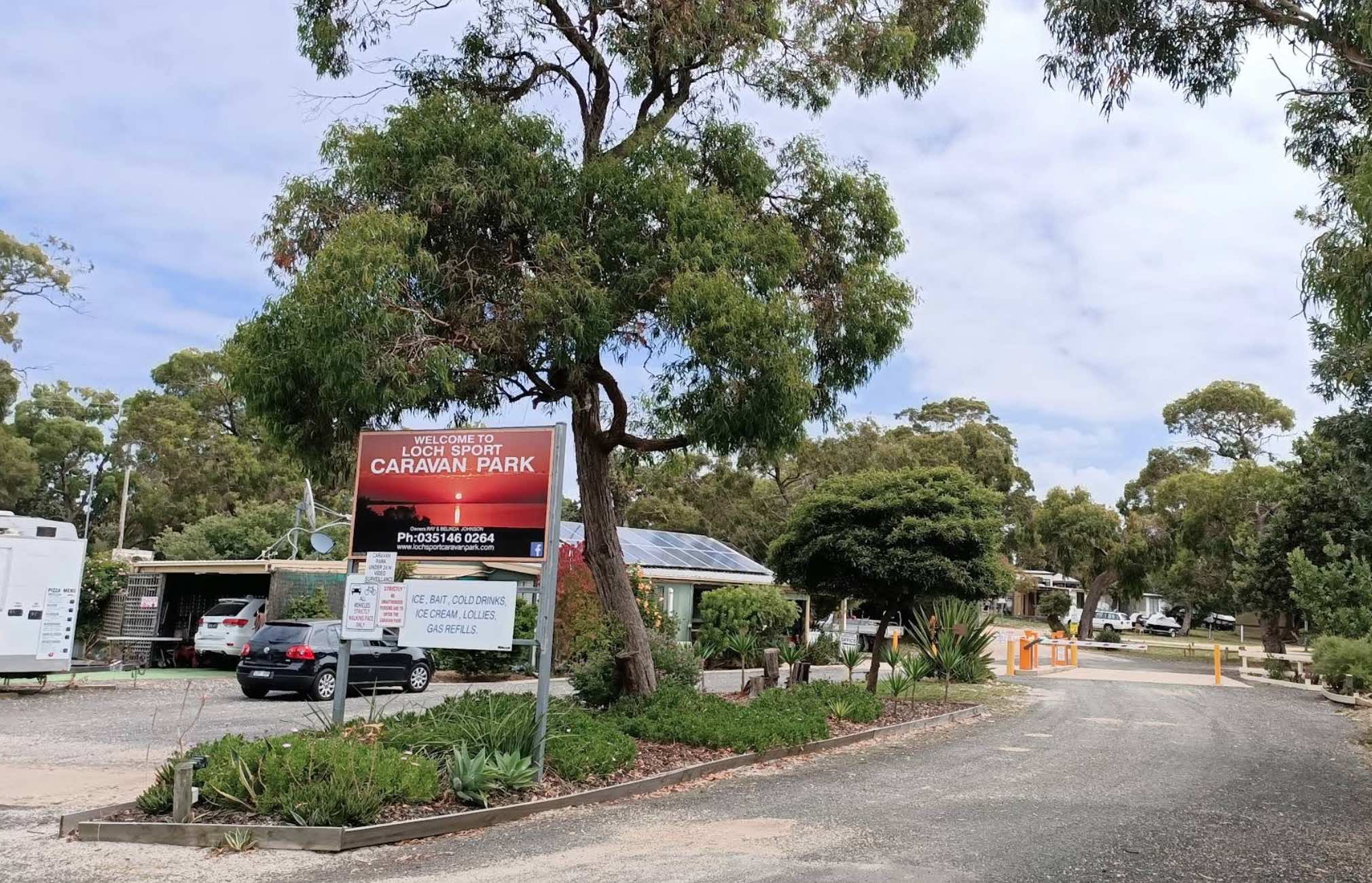
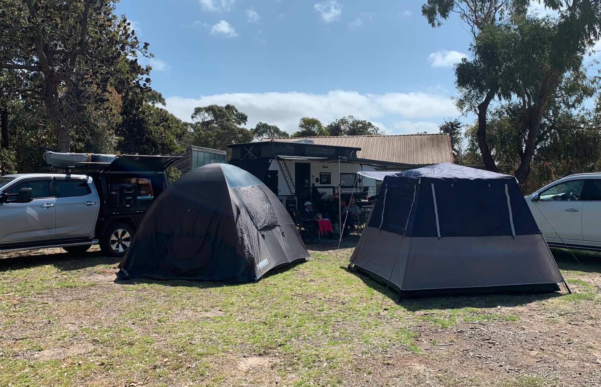
Lot 1C Charles Street, Loch Sport, 3851, Victoria
0 reviews
Loch Sport Caravan Park
Loch Sport Caravan Park offers a quiet and idyllic getaway, perfectly situated right on the Gippsland Lakes, on the southern shores of Lake Victoria. This park is a true water wonderland, surrounded by lakes, beaches, and national ...
Read More...
Category
Caravan Parks List
Facilities Available, , , , , , , , , , ,
, , , , , , , , , , ,
Camping Info

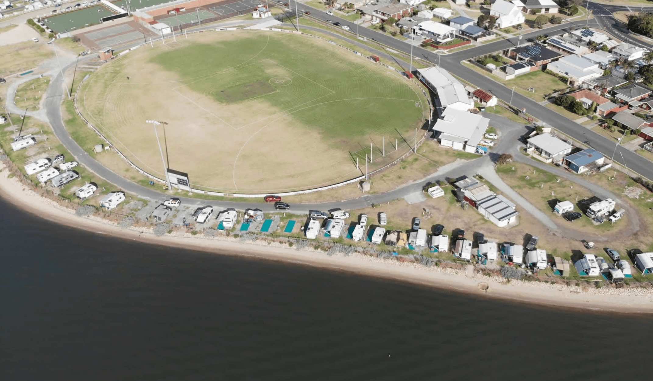
Pannoo Road, Lockington, 3563, Victoria
0 reviews
If you're wandering through the northern parts of Victoria, near the Murray River region, and looking for a handy and well-priced spot to pull up, the Lockington Travellers Rest is a top little option. It's essentially a community-run camping area right i ...
Read More...
Facilities Available, , , , , , , ,
, , , , , , , ,
Camping Info, , , ,
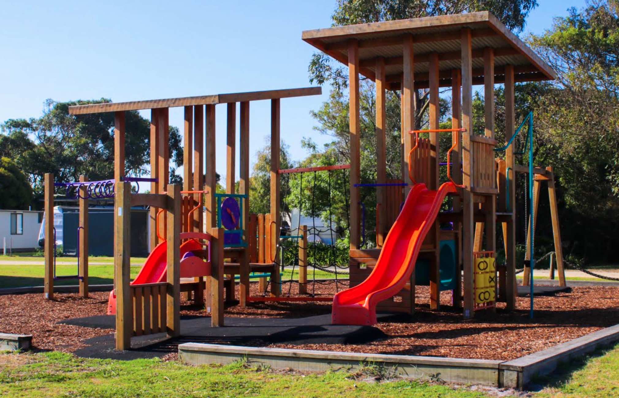
6 Port Welshpool Road, Port Welshpool, 3965, Victoria
0 reviews
Long Jetty Caravan Park
Long Jetty Caravan Park offers a wonderfully tranquil and family-friendly escape in the idyllic small town of Port Welshpool, Victoria. Nestled on the Corner Inlet coastline, this park provides magnificent views of Wilsons Promont ...
Read More...
Category
Caravan Parks List
Facilities Available, , , , , , , , , ,
, , , , , , , , , ,
Camping Info
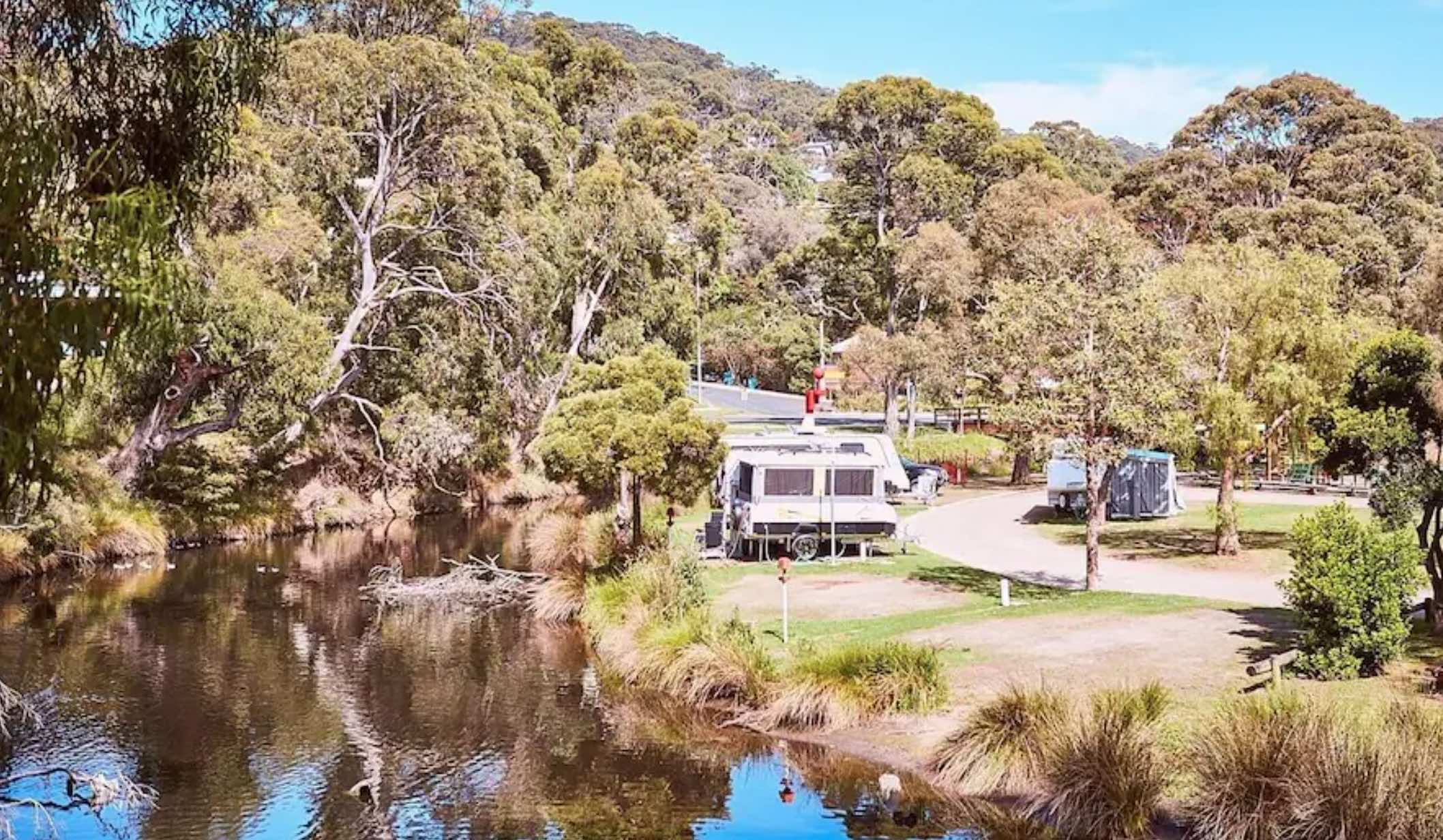
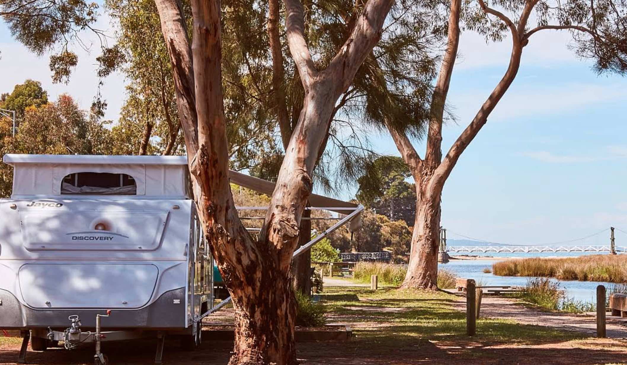
0 reviews
Lorne Foreshore Caravan Park, Victoria
Lorne Foreshore Caravan Park offers an iconic coastal holiday experience scattered across five distinct areas along the foreshore and Erskine River in the popular Great Ocean Road town of Lorne, Victoria. This expan ...
Read More...
Category
Caravan Parks List
Facilities Available, , , , , , , , , , ,
, , , , , , , , , , ,
Camping Info
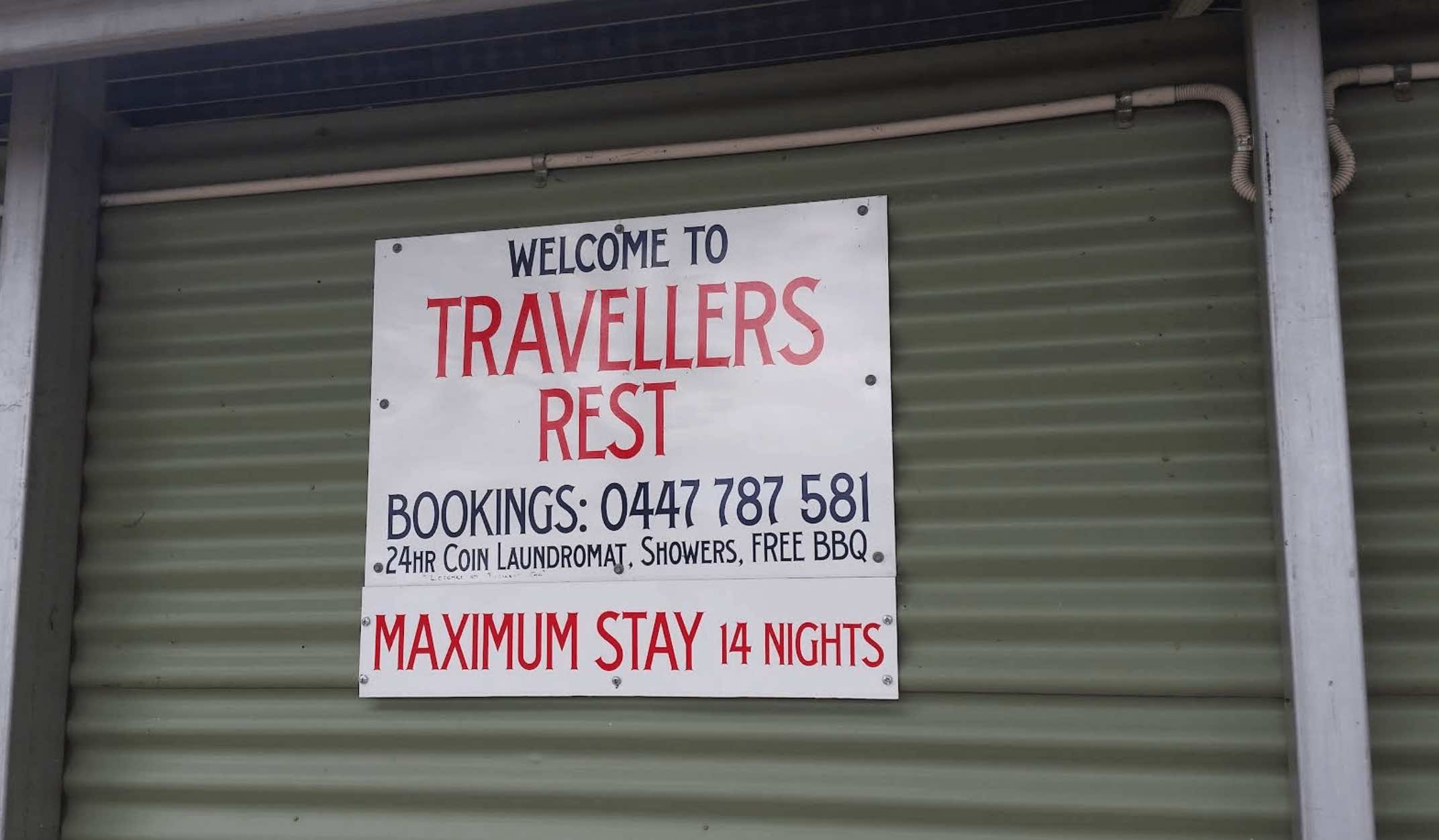
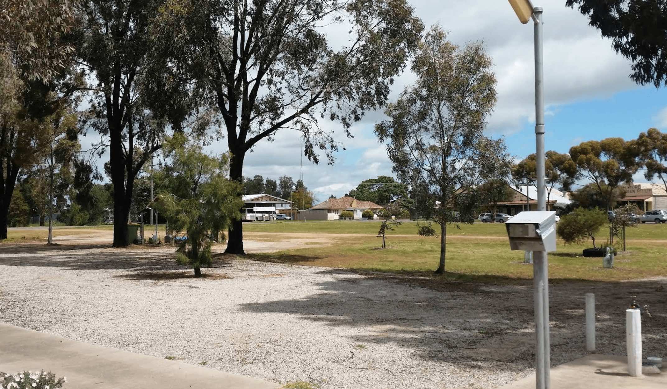
0 reviews
Macarthur Recreation Reserve, located in the rural township of Macarthur in Victoria, is a welcoming camping spot managed by the Macarthur Advancement Development Association. It provides a convenient and affordable base for exploring the local area and t ...
Read More...
Facilities Available, , , , , ,
, , , , , ,
Camping Info, , , ,

Burley Griffin Way, Wallendbeen, 2588, New South Wales
0 reviews
The Mackay Park Rest Area, you can stretch the legs a bit and walk over to the corner of Burley Griffin Way and Olympic Hwy to a local store and get the local gossip. There are picnic tables, Public toilets, wood fired bbq facilities, rubbish bins and ple ...
Read More...
Category
Rest Areas
Facilities Available, , , ,
, , , ,
Camping Info
Ferry Street, Macksville North, 2447, New South Wales
0 reviews
Macksville Lions Park Rest Area is a small tidy park right on the river's edge and very popular amongst travellers. The park has bbq facilities, public toilets, boat ramp, children's playground, rubbish bins, and it's a free overnight stop over with room ...
Read More...
Category
Rest Areas
Facilities Available, , , , , ,
, , , , , ,
Camping Info
0 reviews
The Macquarie Woods Forest Reserve is a fantastic spot to park our caravan for a few nights to explore Bathurst and has more camping spots than you can poke a stick at. There is a public long drop toilet, picnic tables, fireplaces with bbq facilities, a f ...
Read More...
Category
Free Camping
Facilities Available, , , , , , ,
, , , , , , ,
Camping Info
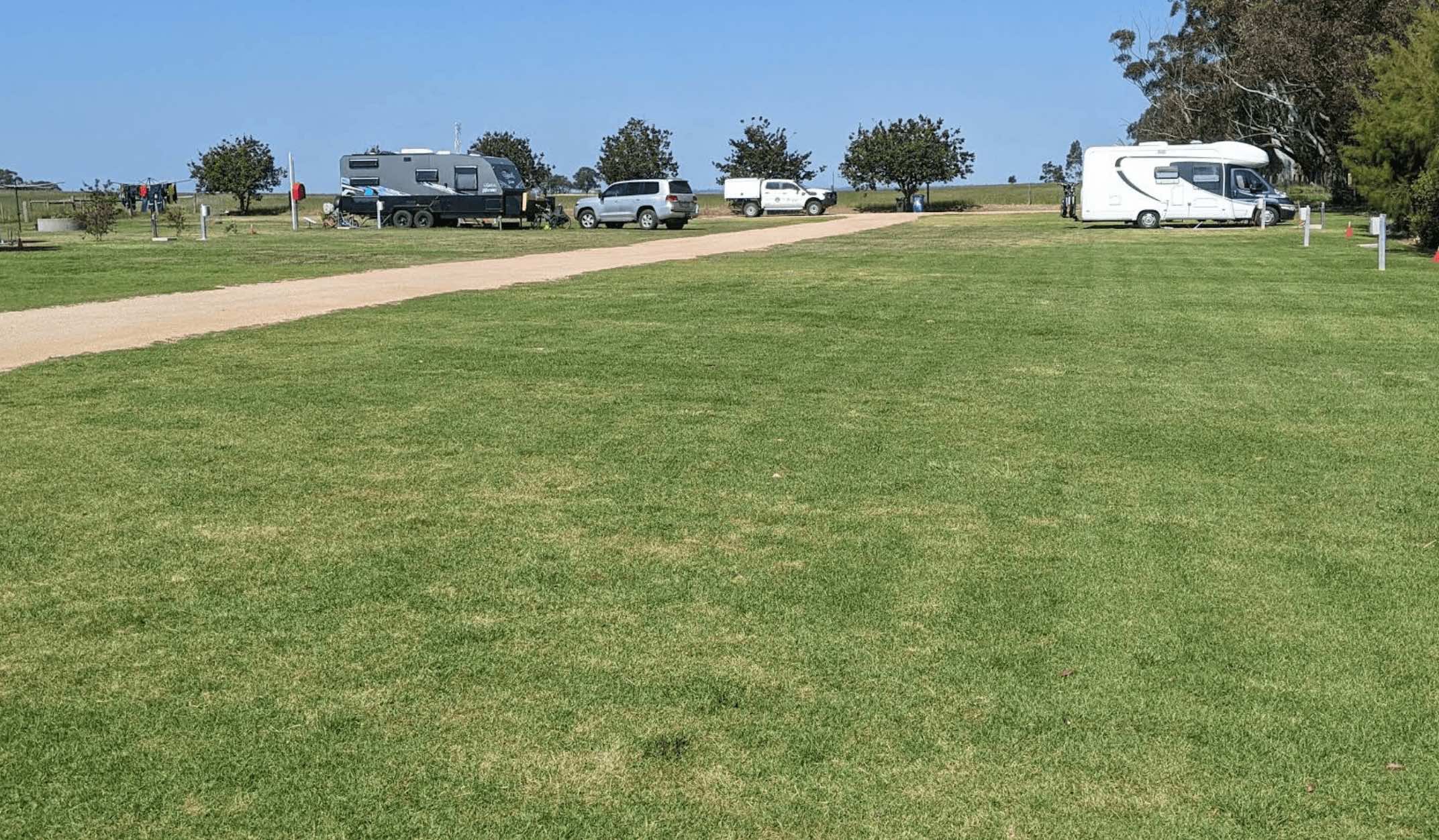
0 reviews
Maffra Golf Club RV Park, located on the outskirts of the charming town of Maffra in Victoria's East Gippsland region, offers a convenient and picturesque stop for travellers with caravans and motorhomes. It uniquely combines the leisure of golfing with c ...
Read More...

Hill Street, Majors Creek, 2622, New South Wales
0 reviews
The Macquarie Woods Forest Reserve has more camping spots than you can poke a stick at. There is a public toilet, bbq, and a small creek nearby.
Category
Free Camping
Facilities Available, ,
, ,
Camping Info,
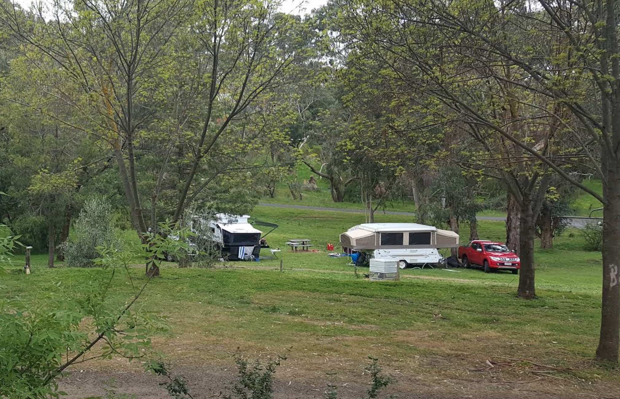
0 reviews
Maldon Caravan & Camping Park
Maldon Caravan & Camping Park offers a charming and tranquil bushland setting at the base of Mount Tarrengower, on the outskirts of the historic goldfields town of Maldon, Victoria. Renowned for its friendly atmosphe ...
Read More...
Category
Caravan Parks List
Facilities Available, , , , , , , ,
, , , , , , , ,
Camping Info
0 reviews
No camping is allowed within the Mallala Oval camping area itself, only outside the Mallala Oval Rest Area.Hot showers are available are coin operated. Why not Pop into town and spend some money at the IGA or the Take away next door on Wasleys Road. near ...
Read More...
Category
Camping Fees Apply
Facilities Available, , , ,
, , , ,
Camping Info
0 reviews
The Mallee Fowl Rest Area is just off the Sturt Highway, with plenty of room to park all sized rigs. There are public toilets, some wood fired BBQ's, and enough room to take your dog for a walk.
Category
Free Camping
Facilities Available, , , ,
, , , ,
Camping Info

4467 Gwydir Highway, Jackadgery, 2460, New South Wales
0 reviews
Category
Caravan Parks
Facilities Available, , , , , , , , ,
, , , , , , , , ,
Camping Info


0 reviews
Mansfield Lakeside
Mansfield Lakeside offers a serene and picturesque escape on the tranquil shores of Lake Eildon, just seven kilometres from the vibrant town of Mansfield, Victoria. This family-friendly holiday park is perfectly situated as a gateway t ...
Read More...
Category
Caravan Parks List
Facilities Available, , , , , , , , , , ,
, , , , , , , , , , ,
Camping Info
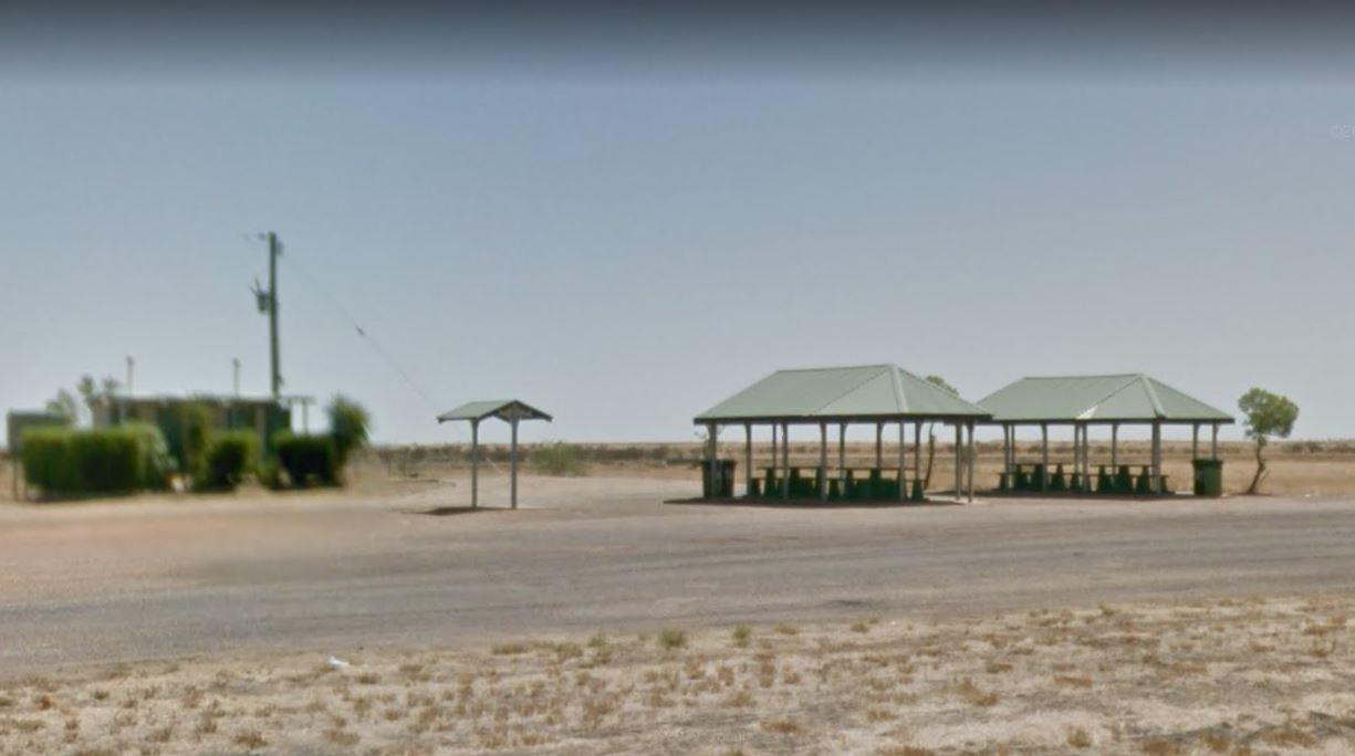
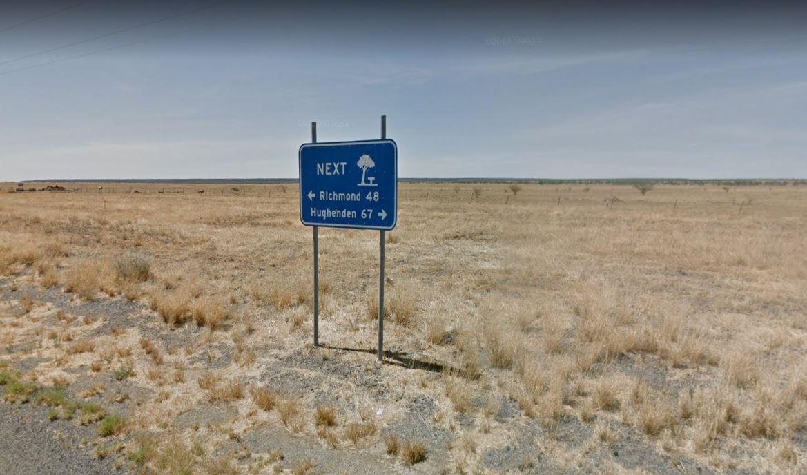
0 reviews
Marathon Rest Area if you don't like this place to stop, then your in for another 48 kilometre drive to the next one. So take a short break from driving, then continue on to the next one, at either, Richmond or Hughenden, depending which upon direction yo ...
Read More...
Category
Rest Areas
Facilities Available, , , ,
, , , ,
Camping Info,
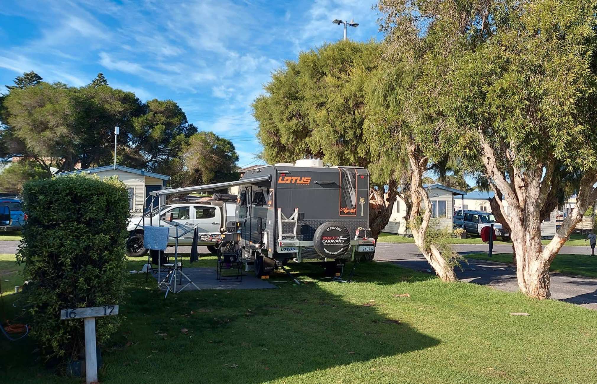
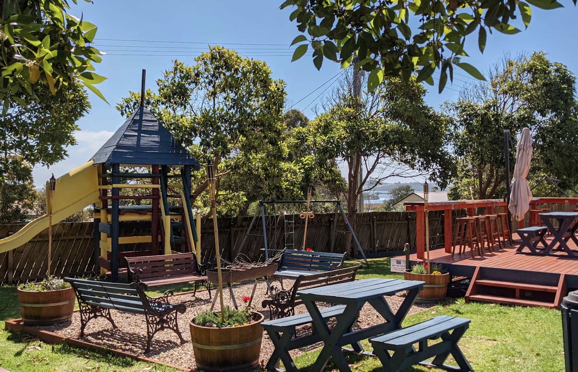
0 reviews
Marlo Caravan Park and Motel
Marlo Caravan Park and Motel offers a prime location at the mouth of the magnificent Snowy River, in the charming coastal town of Marlo, Victoria. Situated conveniently in the town centre, directly opposite the iconic Marlo H ...
Read More...
Category
Caravan Parks List
Facilities Available, , , , , , , , , , , ,
, , , , , , , , , , , ,
Camping Info
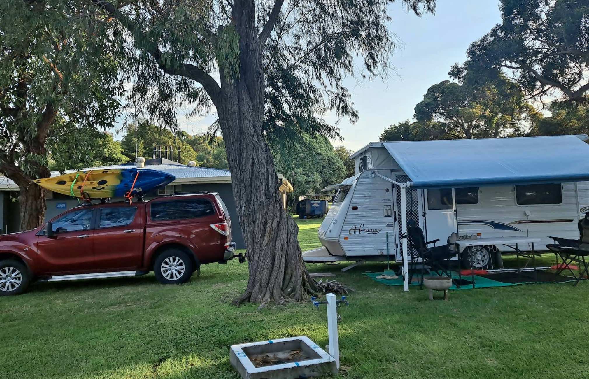
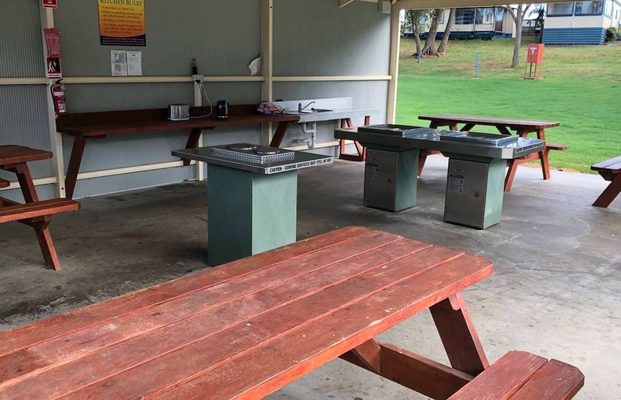
0 reviews
Marlo Ocean View Caravan & Camping Park
Marlo Ocean View Caravan & Camping Park offers a spectacular coastal getaway right at the mouth of the iconic Snowy River, in the charming town of Marlo, Victoria. Boasting 13 acres of beautifully grassed p ...
Read More...
Category
Caravan Parks List
Facilities Available, , , , , , , , , , , ,
, , , , , , , , , , , ,
Camping Info
Gwydir Highway, Jackadgery, 2460, New South Wales
0 reviews
The Marr Creek Rest Area has the makings of a wonderful overnight spot, with the Mann River on your doorstep. There are undercover picnic tables, wood fired bbqs, rubbish bins and tank water here.
Category
Rest Areas
Facilities Available, , , , , ,
, , , , , ,
Camping Info
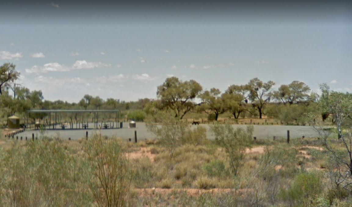
Stuart Highway, Ayers Range South, 0872, South Australia
0 reviews
The Marryat Creek Rest Area has an emergency Phone and emergency rainwater tank to supply of Drinking water. There is lots of space for your caravan, you will find undercover picnic tables, rubbish bins to compliment this rest area.
Category
Rest Areas
Facilities Available,
,
Camping Info
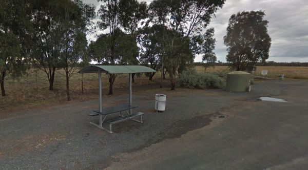
Mid Western Highway, Back Creek, 2671, New South Wales
0 reviews
Located on the northbound side of the Mid Western Highway near Back Creek, NSW, the Marsden Rest Area Northbound offers a convenient roadside stop for drivers in need of a break. With easy access from the asphalt highway, this rest area provides essential ...
Read More...
Category
Rest Areas
Facilities Available, ,
, ,
Camping Info
7 Holyrood Street, Maryborough, 3465, Victoria
0 reviews
Maryborough Caravan Park
Maryborough Caravan Park offers a tranquil and spacious haven, perfectly situated on 3.5 hectares of landscaped parkland and trees, right on the banks of Lake Victoria in Maryborough, Victoria. As part of the historic Goldfields ...
Read More...
Category
Caravan Parks List
Facilities Available, , , , , , , , , , , , , , , ,
, , , , , , , , , , , , , , , ,
Camping Info
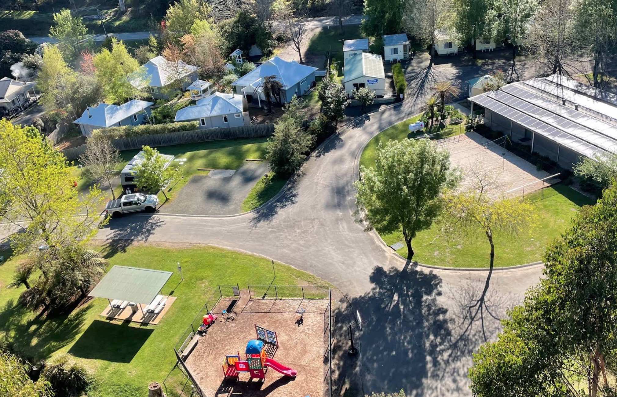
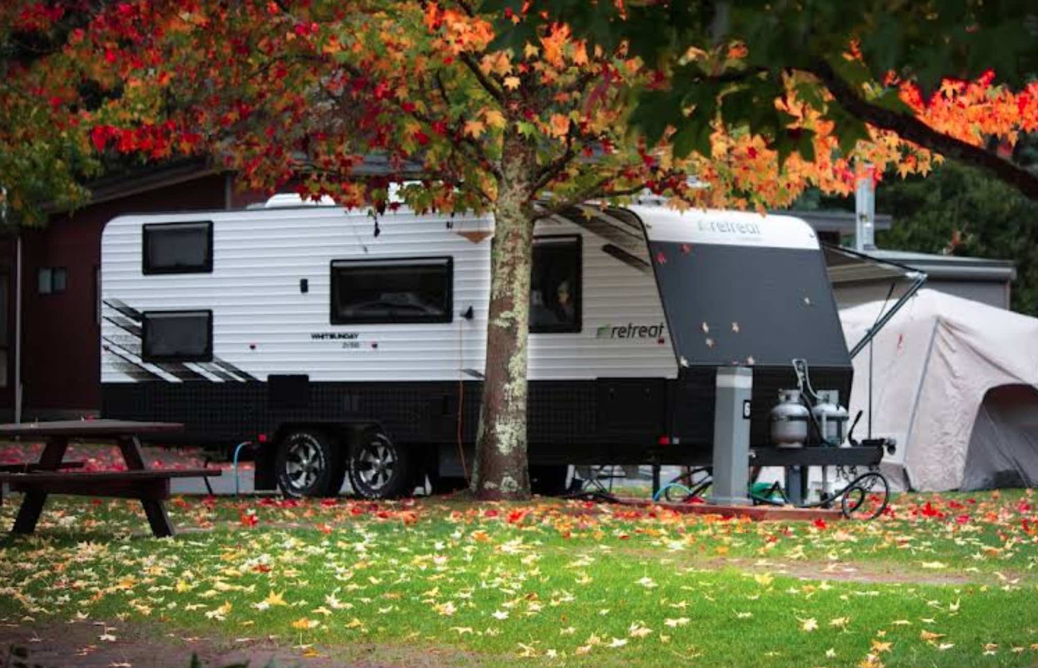
1130 Buxton Road, Marysville, 3779, Victoria
0 reviews
Marysville Caravan and Holiday Park
Marysville Caravan and Holiday Park offers a picturesque and family-friendly escape, nestled among spectacular trees with the tranquil Steavenson River (also spelled Stevenson River) flowing through the park. Located i ...
Read More...
Category
Caravan Parks List
Facilities Available, , , , , , , , , , , ,
, , , , , , , , , , , ,
Camping Info
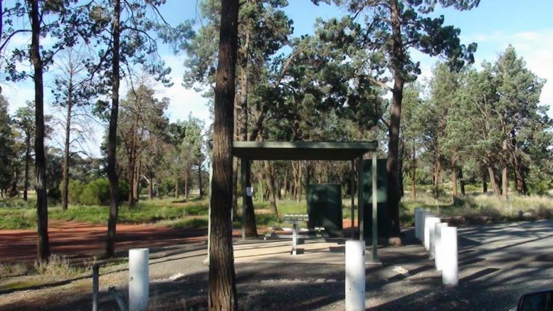
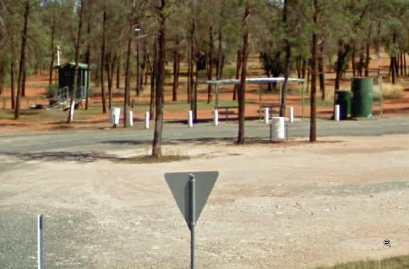
0 reviews
The Meadow Glen Rest Area is set a short distance away from the main road in amongst some trees with a public toilet, picnic table and fixed fire place, water is also available.
Category
Rest Areas
Facilities Available, , , ,
, , , ,
Camping Info
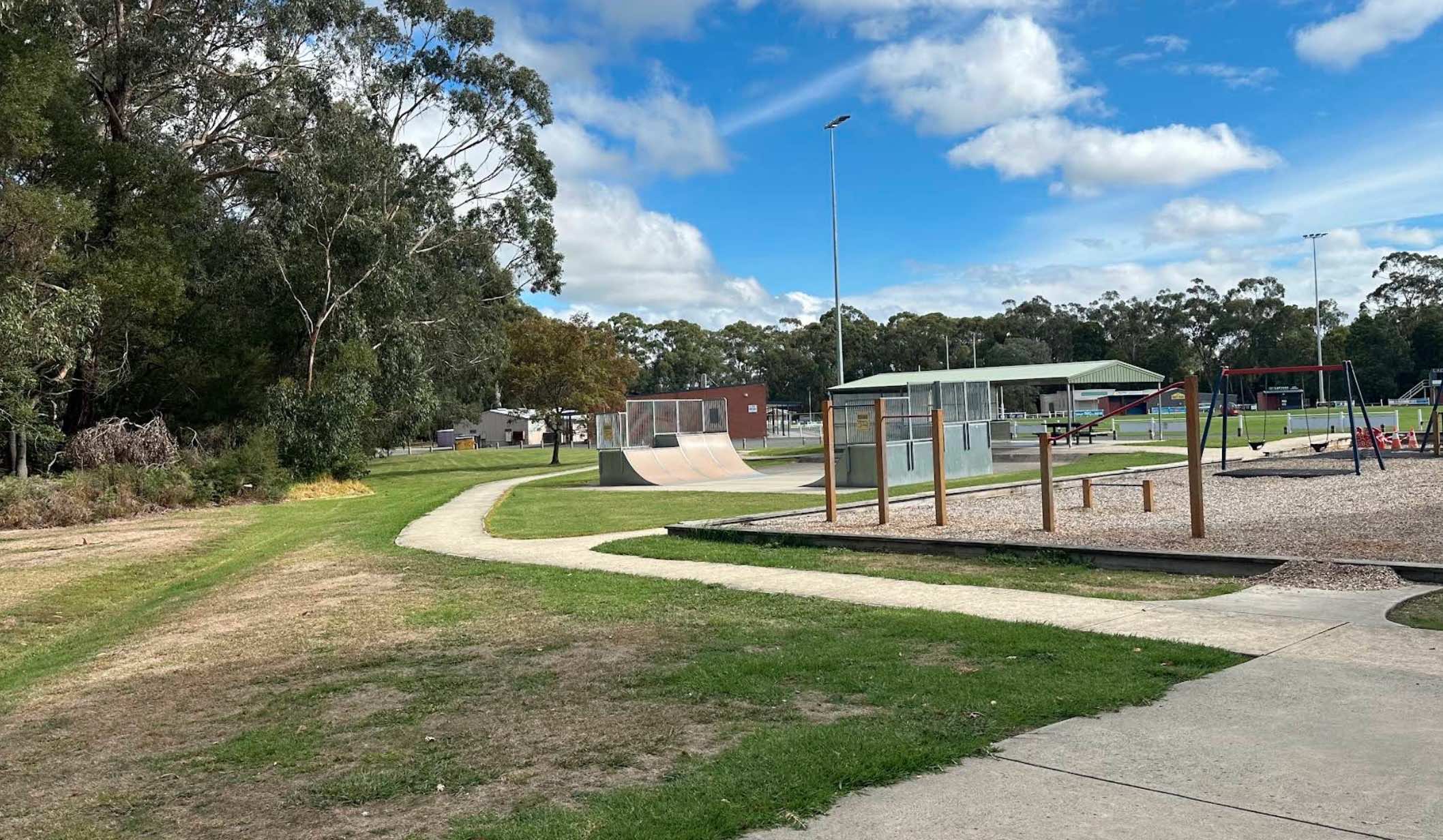
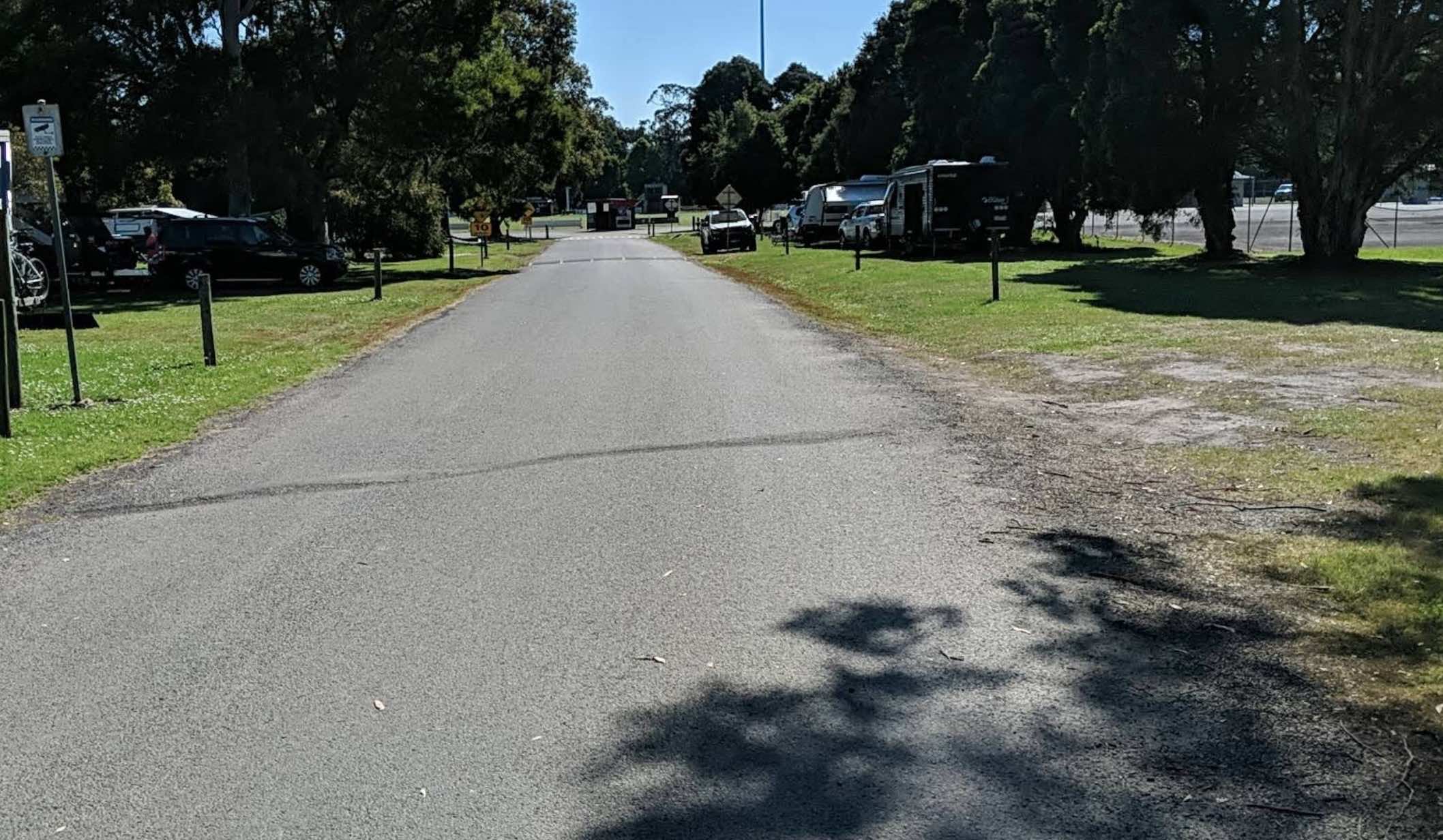
0 reviews
Meeniyan Reserve Campsite is a low-cost camping option located at the Meeniyan Recreation Reserve in the charming town of Meeniyan, in the South Gippsland region of Victoria. It provides a convenient and relaxed base for exploring the town and the many at ...
Read More...
Facilities Available, , , ,
, , , ,
Camping Info, ,
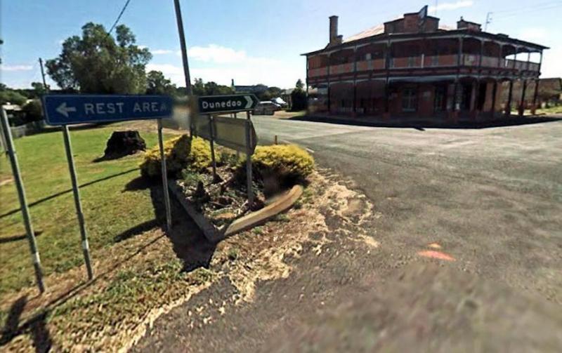
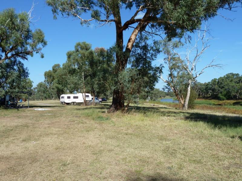
0 reviews
The Mendooran Free Camp is a picturesque area on the river and close to township, beautiful setting with plenty of space for caravans and mobile homes. There are undercover picnic tables, flushing toilets, cold showers, and town water tap behind amenities ...
Read More...
Category
Free Camping
Facilities Available, , , , , , , , ,
, , , , , , , , ,
Camping Info,
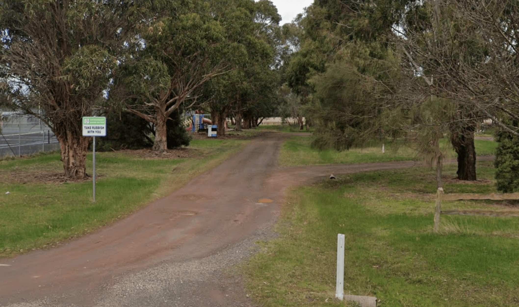
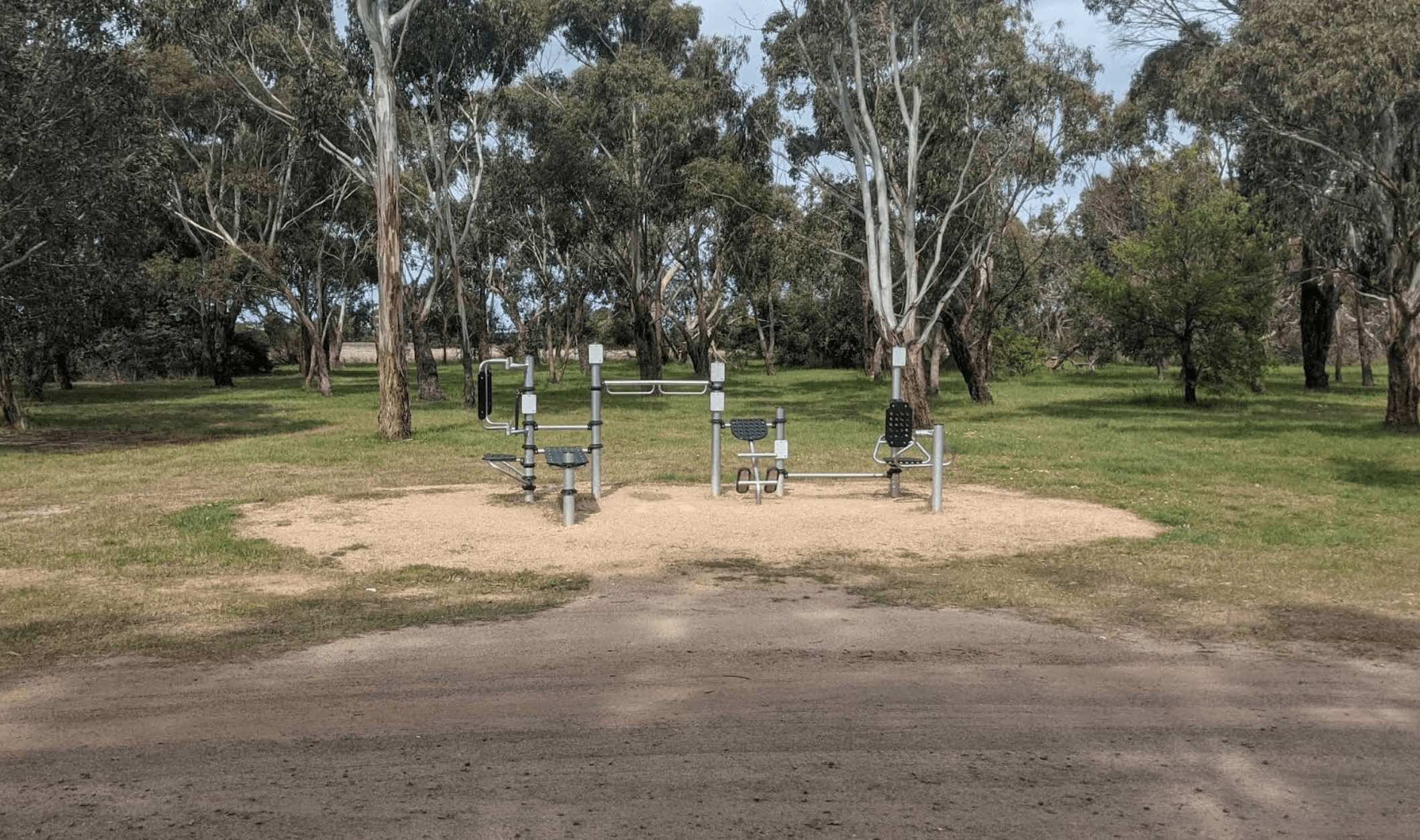
0 reviews
Meredith Pioneer Park is a recreational area located in Meredith, Victoria, offering a bushland setting and various amenities. While primarily a day-use area with sporting facilities, it is also utilised by campers, though there is some conflicting inform ...
Read More...
Facilities Available, , , , ,
, , , , ,
Camping Info
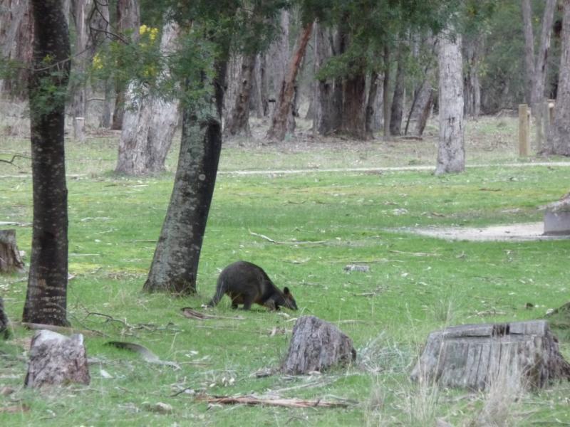
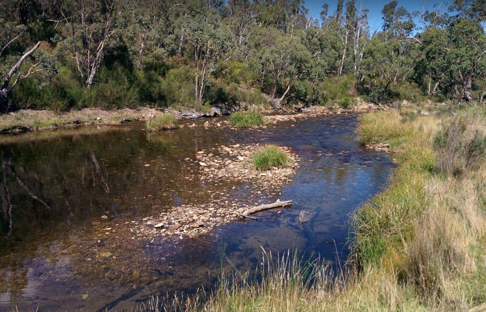
0 reviews
At the Middle Creek Camping Area, you can take a stroll along the Cave Walking Track, but be warned, it's rather steep.
Category
Free Camping
Facilities Available, , ,
, , ,
Camping Info
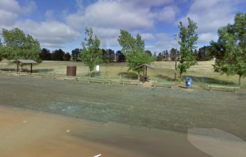
0 reviews
The Middleton VC Rest Area is located on the Remembrance Driveway it's a place to stop for a rest and a bite to eat before continuing on your way. There are undercover picnic tables, rubbish bins and tank water located here.
Category
Rest Areas
Facilities Available, ,
, ,
Camping Info
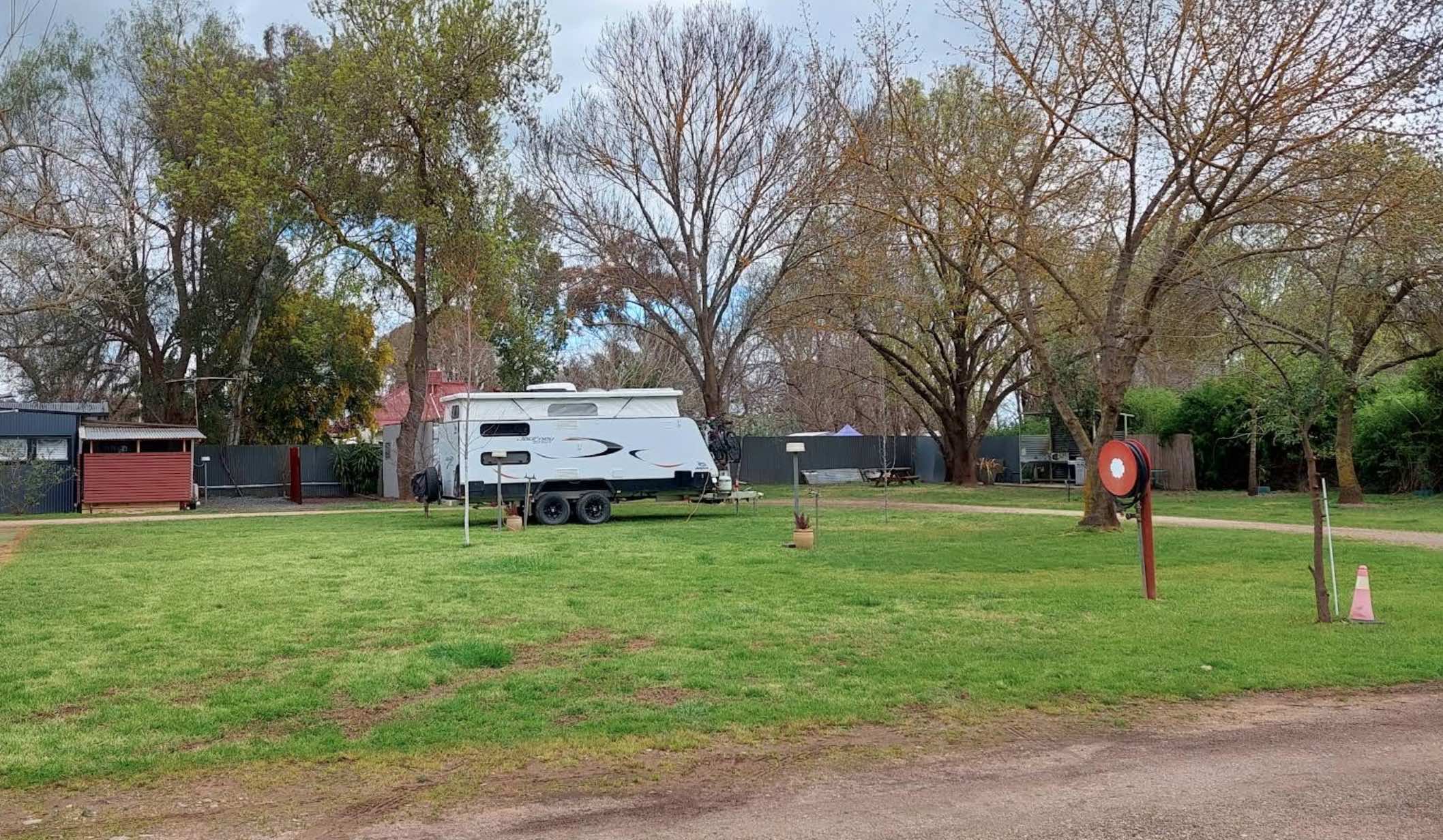
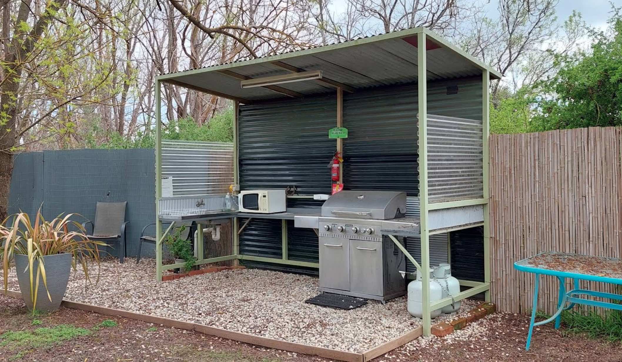
0 reviews
Milawa Caravan and Tourist Park: Your Base in the Milawa Gourmet Region
Milawa Caravan and Tourist Park, located in the heart of Victoria's renowned Milawa Gourmet Region, offers a convenient and relaxed accommodation option for travellers exploring the ...
Read More...
Category
Caravan Parks List
Facilities Available, , , , , ,
, , , , , ,
Camping Info
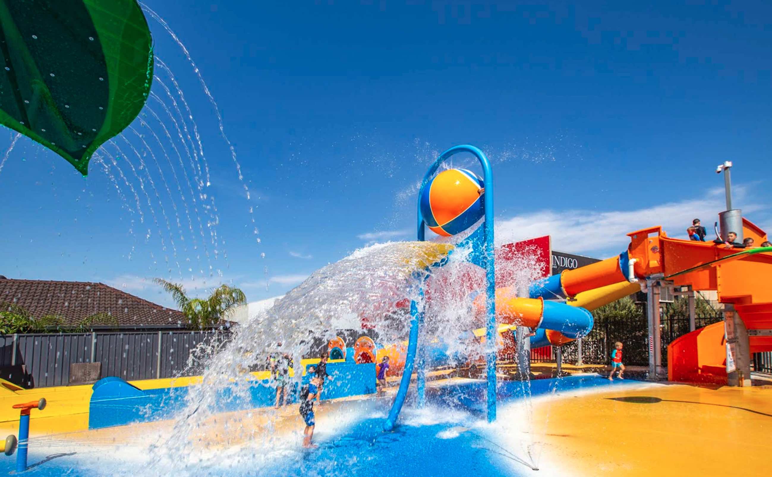
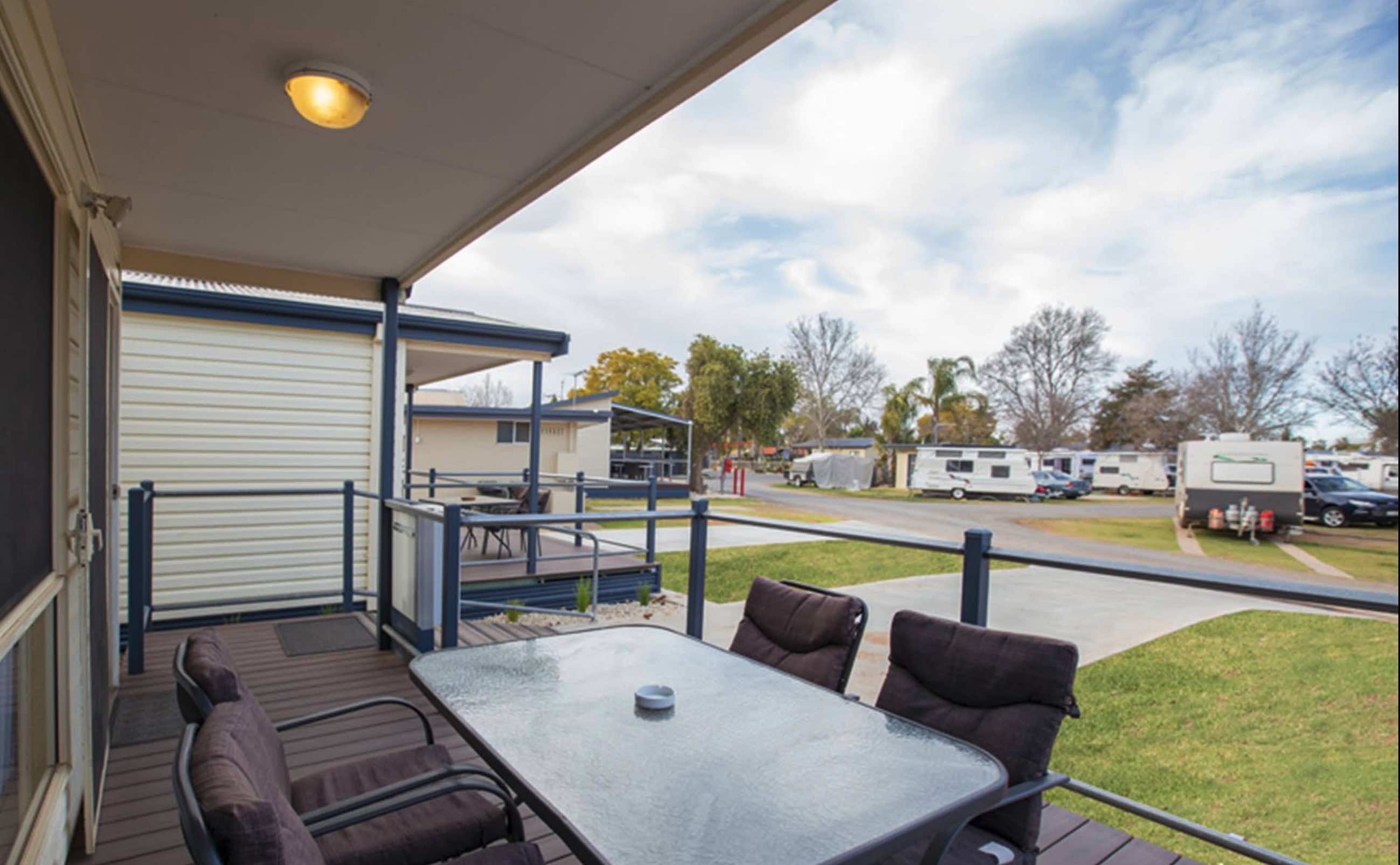
0 reviews
Mildura - All Seasons Holiday Park, an award-winning, family-run holiday park, offers a relaxed and comfortable atmosphere in the heart of Mildura.
1. It caters to tourists, holidaymakers, and retirees, providing a range of accommodation from new three-b ...
Read More...
Category
Caravan Parks List
Facilities Available, , , , , , , , , , , , , , , , , , ,
, , , , , , , , , , , , , , , , , , ,
Camping Info
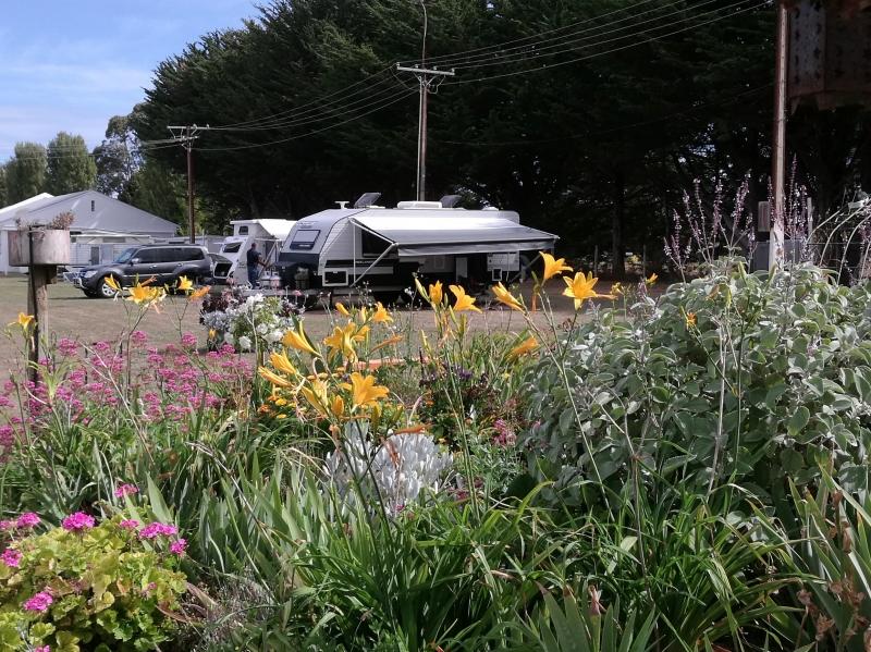
0 reviews
The Millicent AH&P Society Showground RV Camping is the latest addition to friendly tourist accommodation in Millicent. We are the gateway to the Limestone Coast and the best route to the Coonawarra Wine Region. The site is run by volunteers from the ...
Read More...
Category
Camping Fees Apply
Facilities Available, , , ,
, , , ,
Camping Info
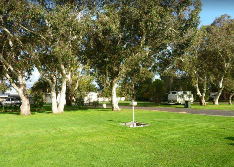
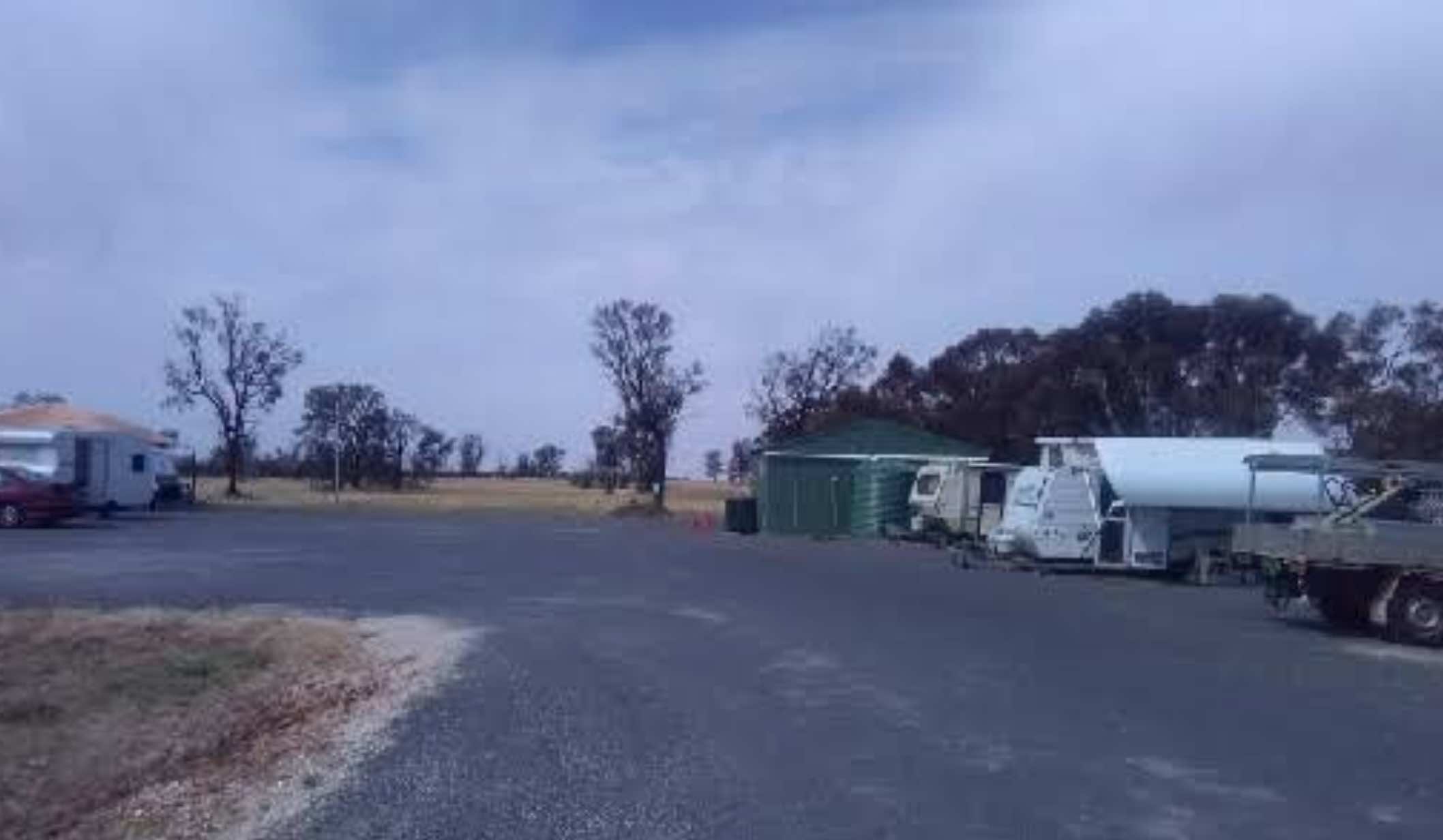
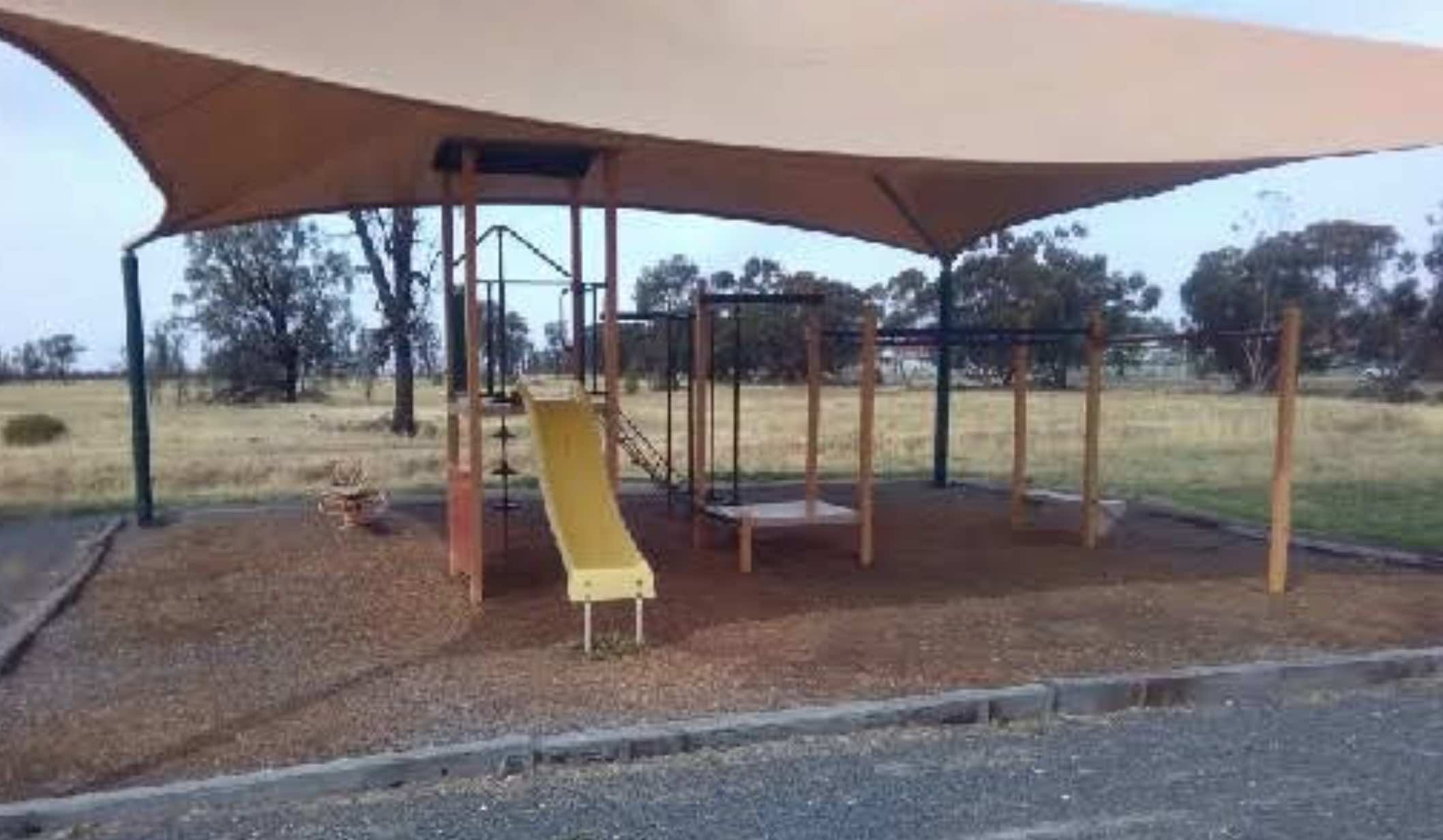
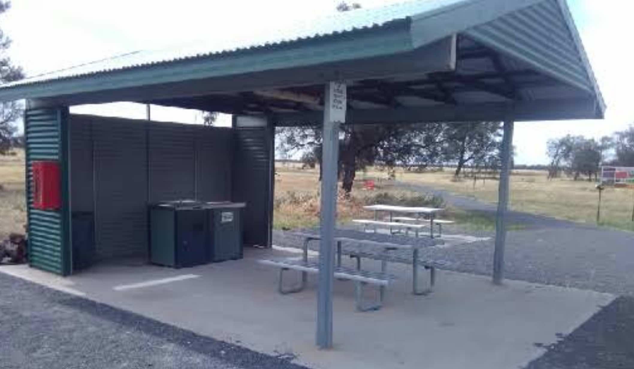
0 reviews
Minyip Caravan Park, also known as Minyip Community Caravan Park, is located just off Petering Street, Minyip, and integrates with the Minyip Wetlands. It offers a relaxed and community-oriented stay, operating on an honesty system with no booking require ...
Read More...
Category
Caravan Parks List
Facilities Available, , , , , ,
, , , , , ,
Camping Info
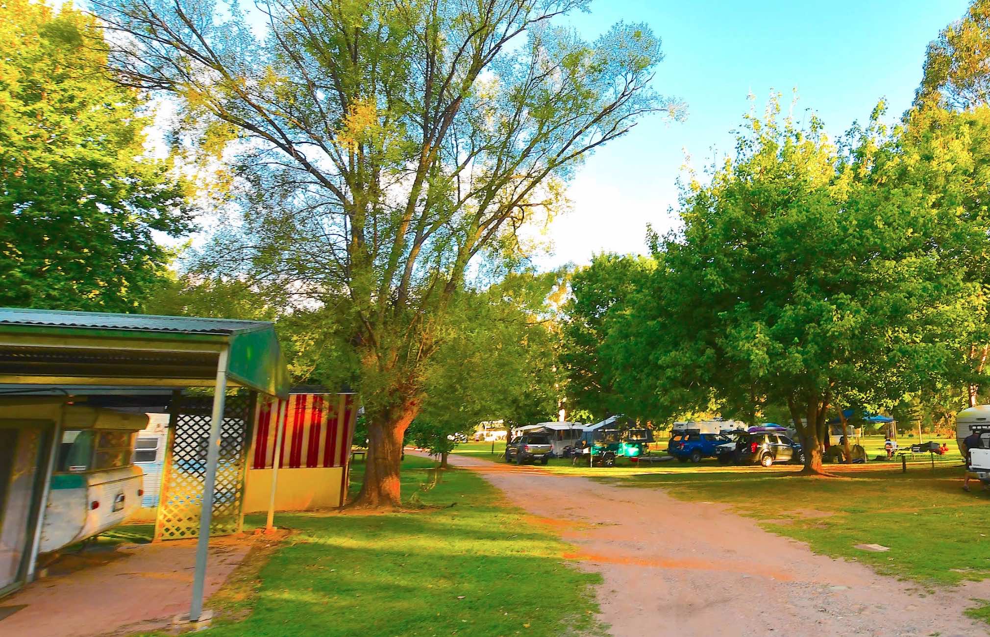
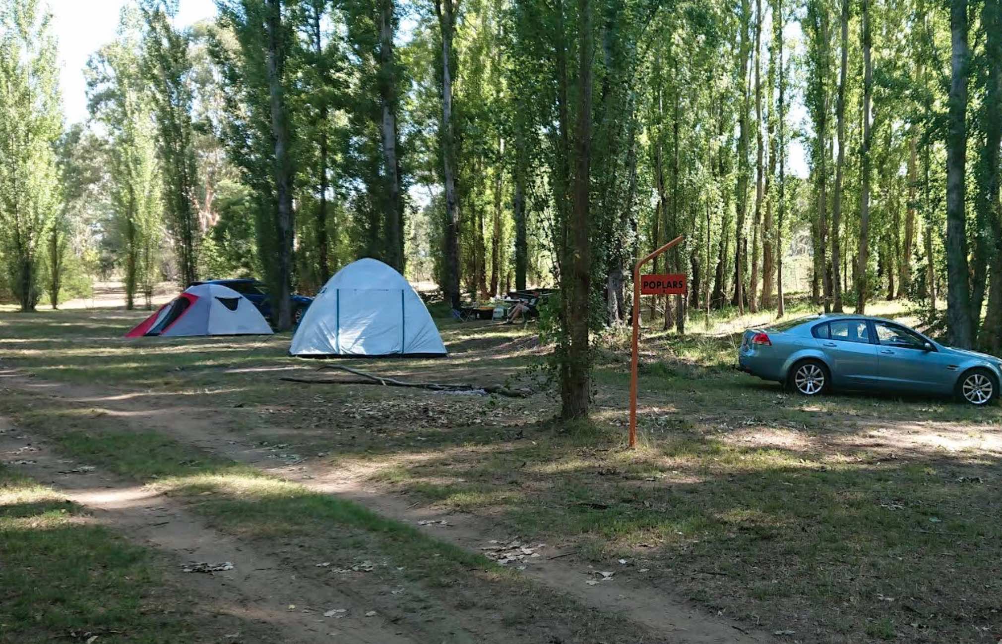
1784 Mitta North Road, Mitta Mitta, 3701, Victoria
0 reviews
Mitta Mitta Caravan Park
Mitta Mitta Caravan Park offers a tranquil and authentic bush experience, perfectly positioned on 22 acres of Crown land bordering the pristine Mitta Mitta River in Mitta Mitta, Victoria. This park is a true haven for nature love ...
Read More...
Category
Caravan Parks List
Facilities Available, , , , , , , , ,
, , , , , , , , ,
Camping Info
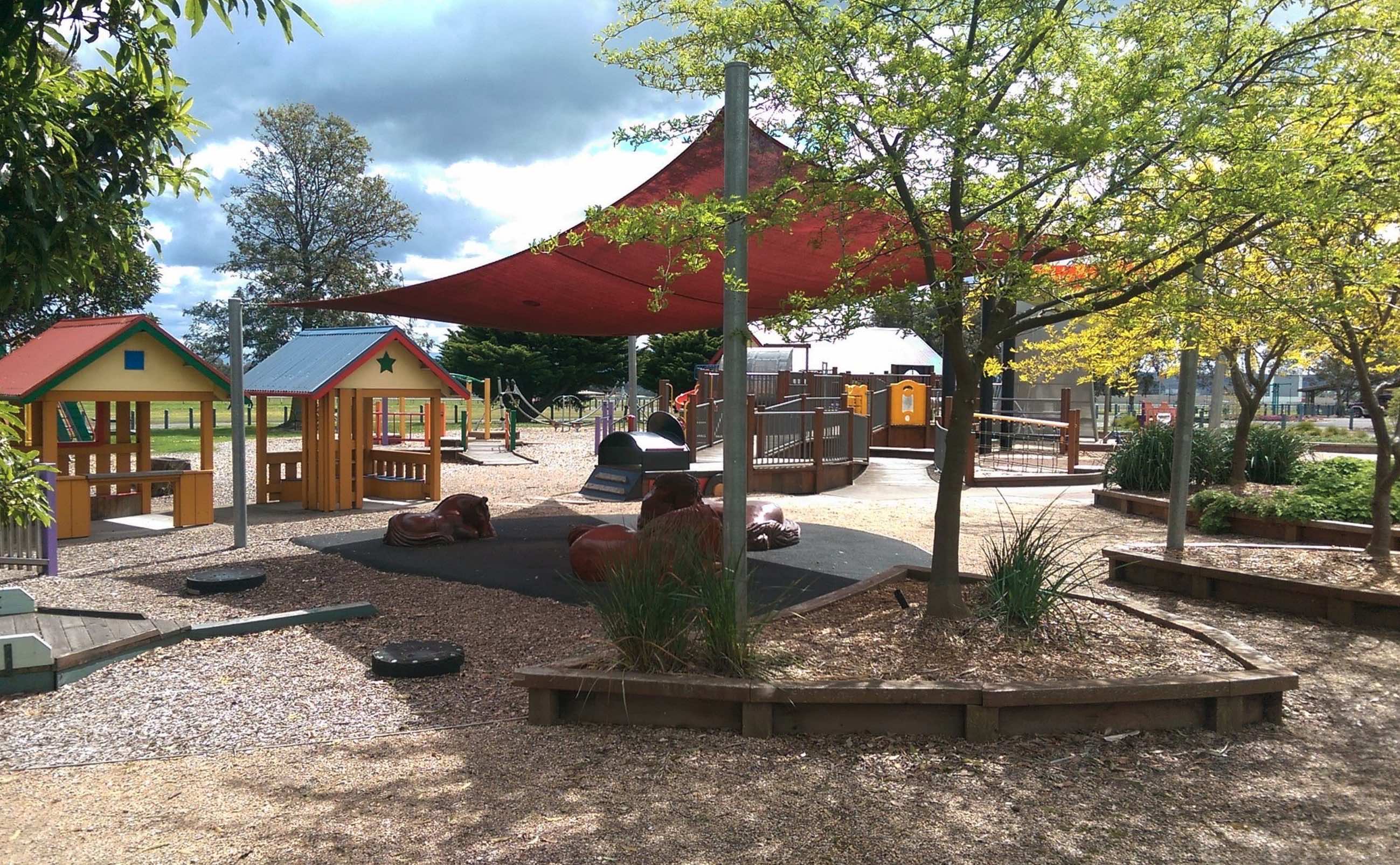
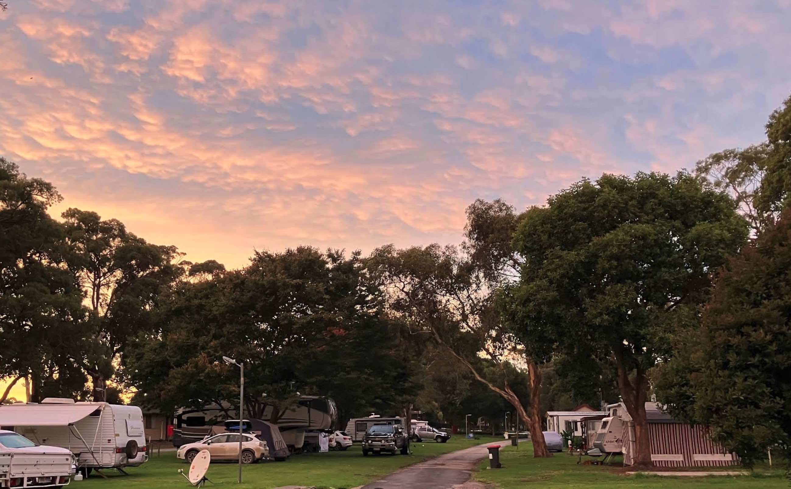
0 reviews
Moe Gardens Caravan Park is a welcoming and spacious park situated just a 900-metre walk from Moe's town centre and easily accessible from the M1 Princes Freeway. It serves as an ideal base for both short-term travellers and those on an extended stay in t ...
Read More...
Category
Caravan Parks List
Facilities Available, , , , , , , , ,
, , , , , , , , ,
Camping Info
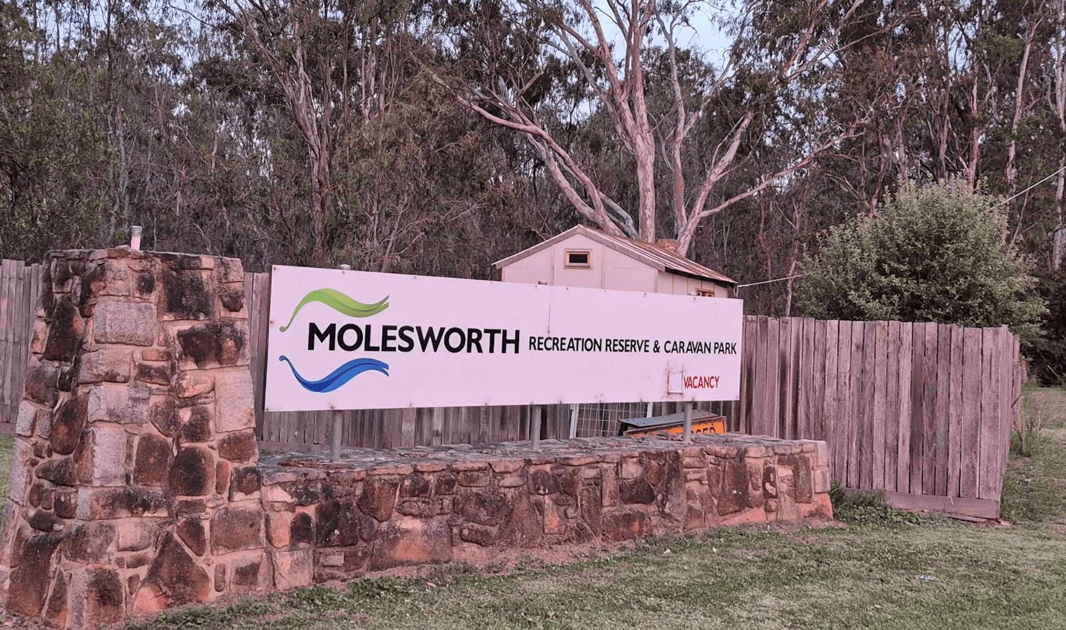
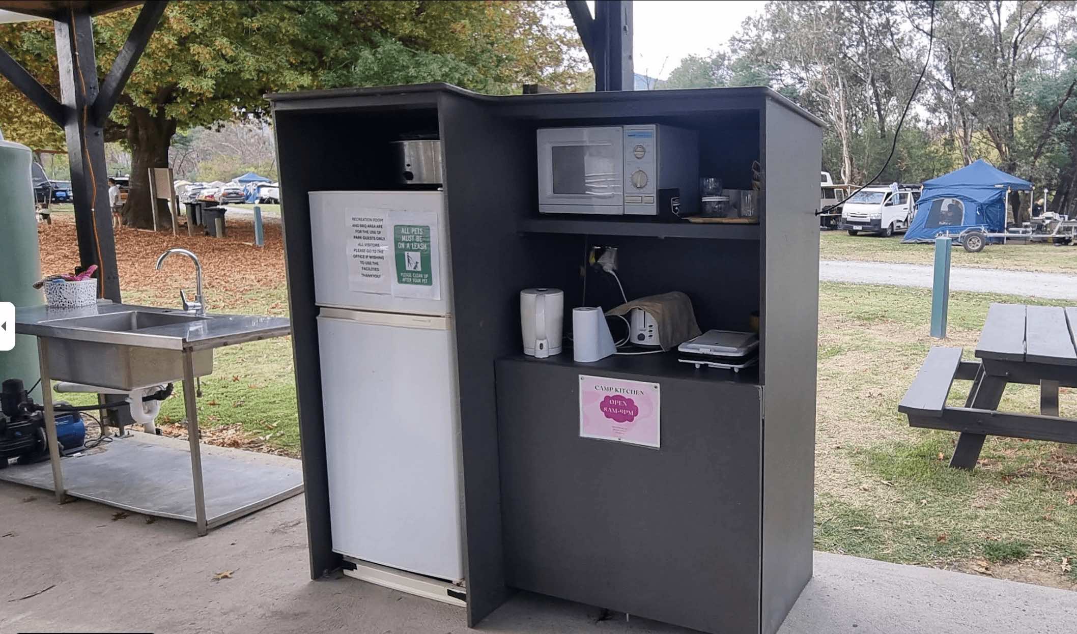
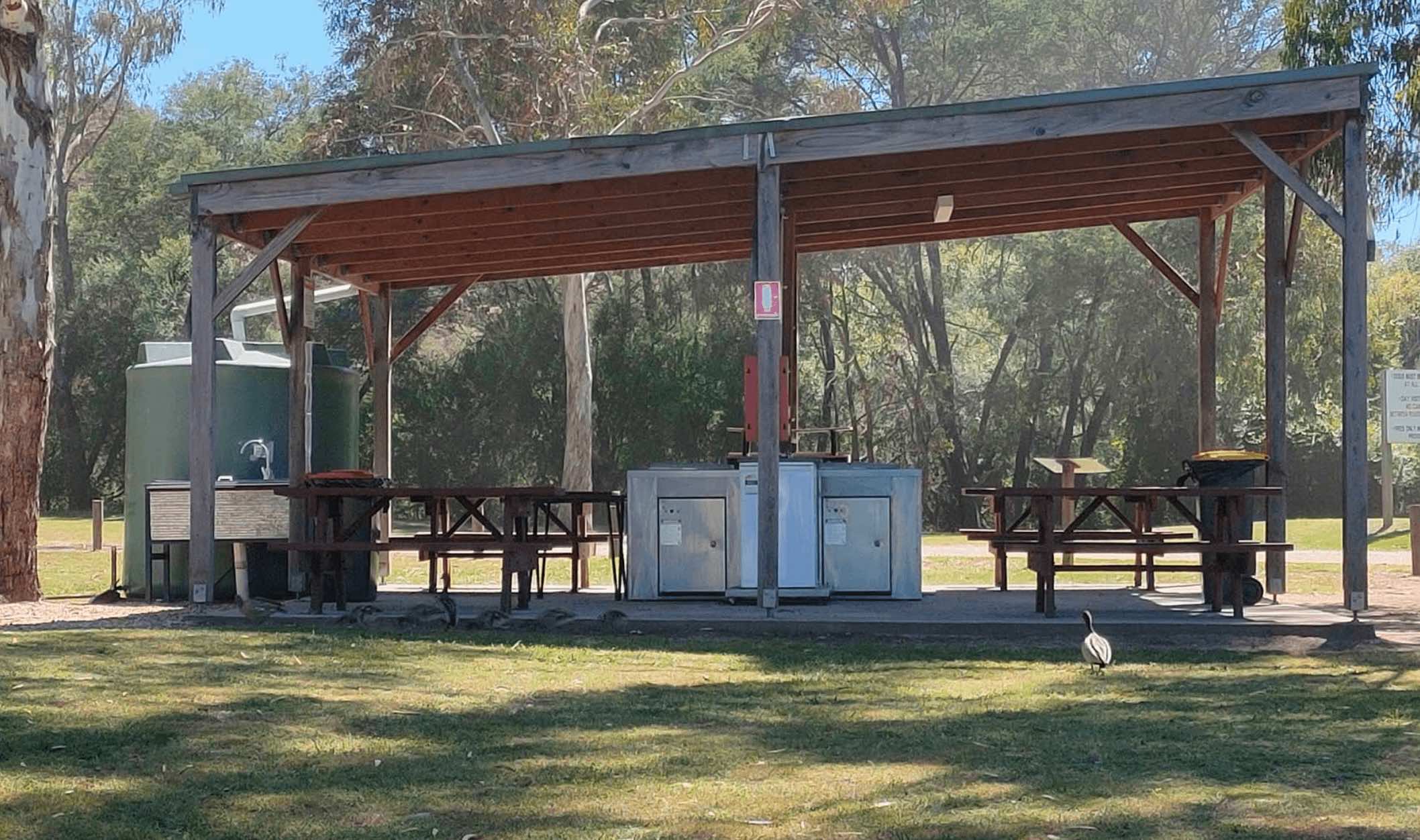
Recreation Reserve Road, Molesworth, 3718, Victoria
0 reviews
Molesworth Recreation Reserve & Caravan Park is a family-friendly camping destination situated on the banks of the Goulburn River in the township of Molesworth, Victoria, located between Yea and Alexandra. It functions as both a local recreation area ...
Read More...
Facilities Available, , , , , , , , , ,
, , , , , , , , , ,
Camping Info, ,
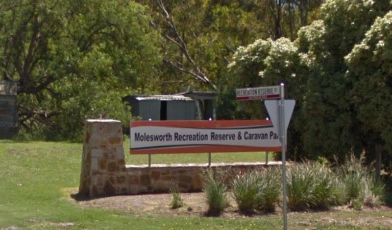
Goulburn Valley Highway, Molesworth, 3718, Victoria
0 reviews
Category
Caravan Parks List
Facilities Available, , , , , ,
, , , , , ,
Camping Info
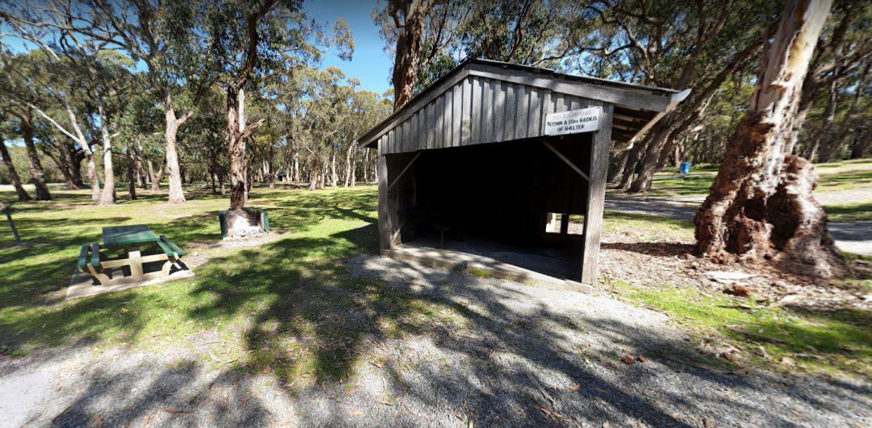
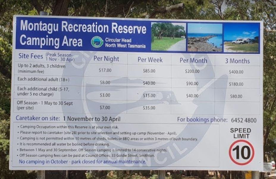
0 reviews
The Montagu Camping Area is a very popular place for fishermen with boats. If your shore based fishing there, you can walk out to the Robbins Passage channel at low tide.
Category
Camping Fees Apply
Facilities Available, , , , , ,
, , , , , ,
Camping Info
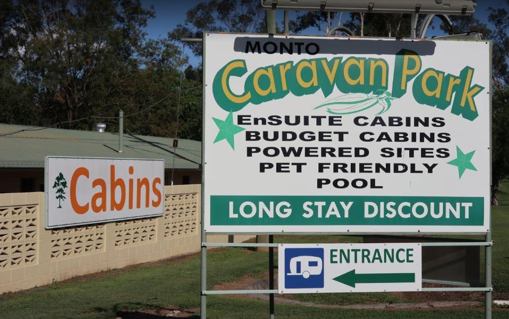
0 reviews
The Monto Caravan & Cabin Park grounds and pool are immaculate. The bathrooms are super clean and big. The sites are a good size this caravan site has a good reputation as being a very clean and friendly place to stay for a few nights. Amenities are w ...
Read More...
Category
Caravan Parks
Facilities Available, , , , , , , ,
, , , , , , , ,
Camping Info
0 reviews
The Mooroopna Rest Area has a skateboard ramp, public toilets, bbqs, undercover picnic tables, and a few playground attractions for the little ones.
Category
Rest Areas
Facilities Available, , , , ,
, , , , ,
Camping Info
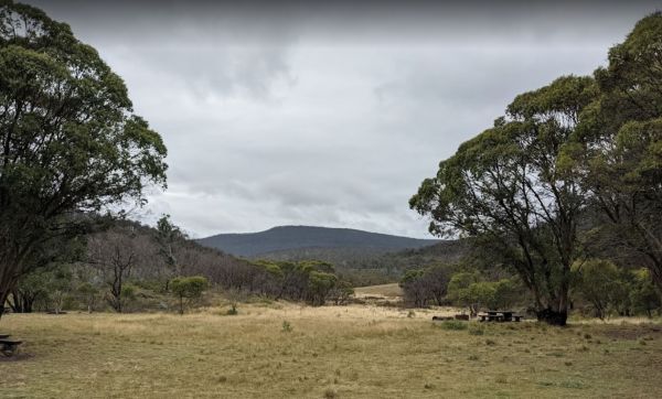
Unsealed Road, Mount Clear, 2620, Australian Capital Territory
0 reviews
Mount Clear Campground Namadgi National Park - Remote Camping ACT
Experience Solitude in the Southern Namadgi Wilderness
Mount Clear Campground represents the most remote established vehicle-based camping opportunity within the Australian Capital Terr ...
Read More...
Category
Camping Fees Apply
Facilities Available, ,
, ,
Camping Info
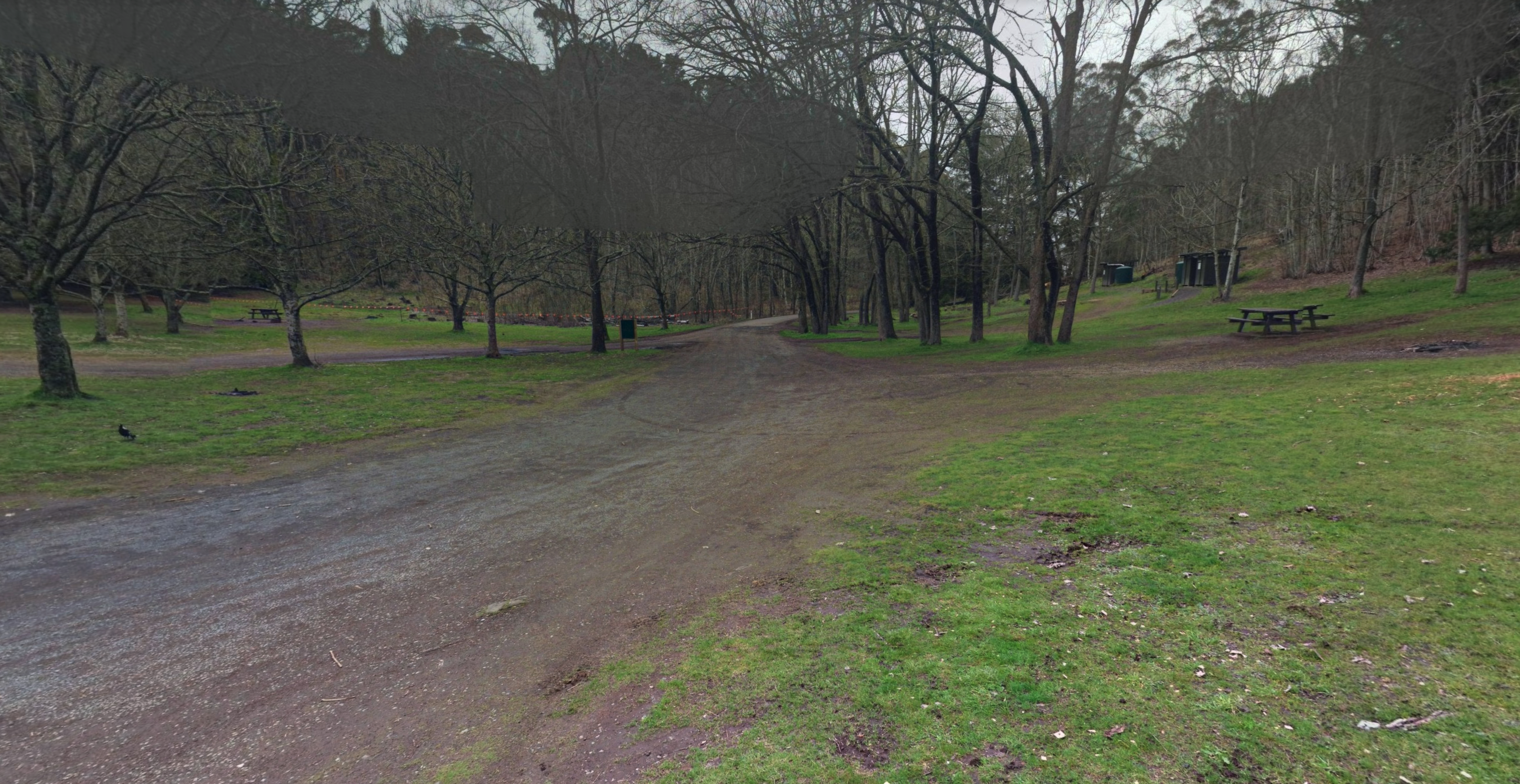
Mt Franklin Road, Mt Franklin, 3461, Victoria
0 reviews
Category
Rest Areas
Facilities Available, ,
, ,
Camping Info
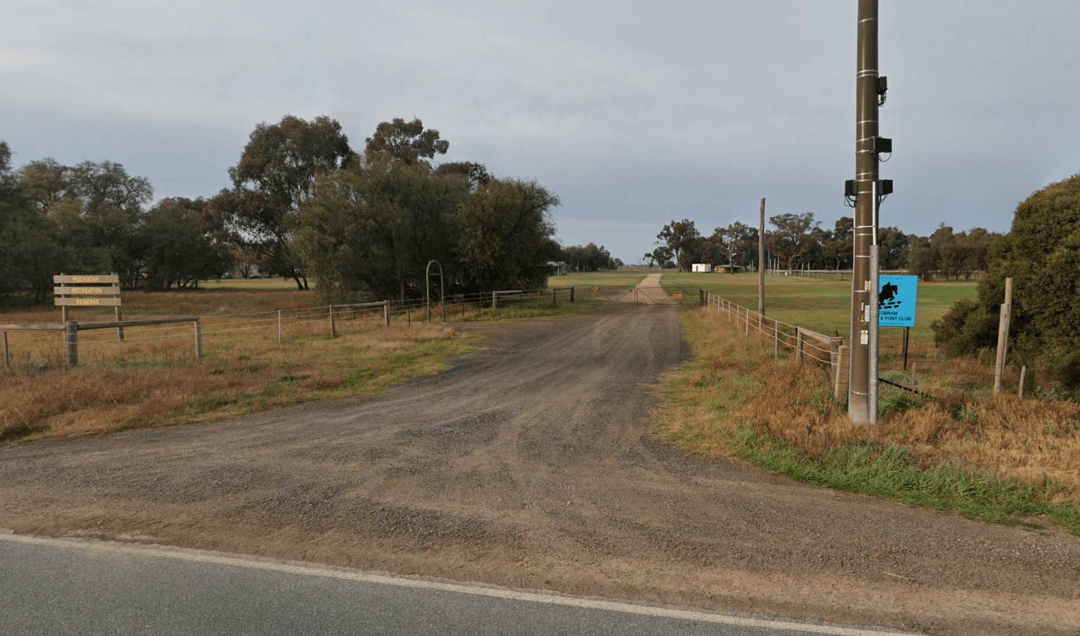
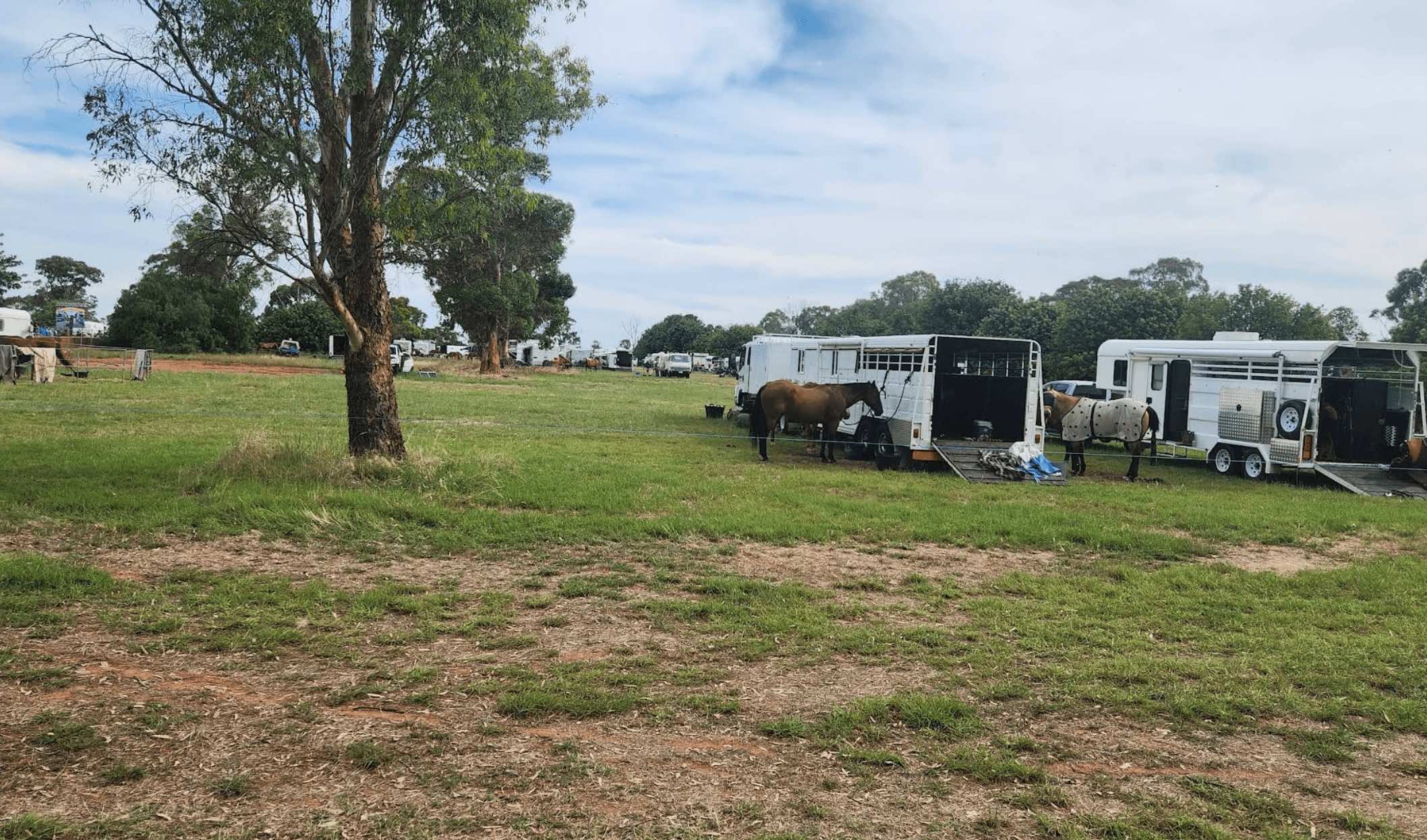
0 reviews
Muckatah Recreation Reserve is a 40-acre public reserve located in Muckatah, Victoria, offering a spacious and open area for recreation and camping. Situated in the Moira Shire, it provides a rural escape with basic facilities for travellers.
The reserve ...
Read More...
Facilities Available, , ,
, , ,
Camping Info,
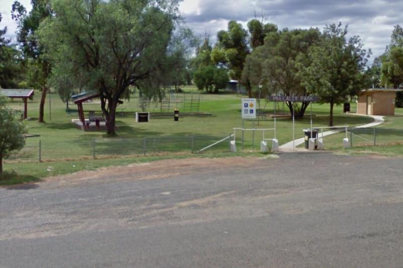
0 reviews
The Mullaley Park Rest Area has a Post Office across the road with a public phone booth if your mobile has died on you.
Category
Rest Areas
Facilities Available, , ,
, , ,
Camping Info
0 reviews
The Mundoonan Rest Area is an extremely well appointed rest area and accessible to northbound traffic on the Hume Highway. There are modern public toilets, undercover parking for cars, undercover picnic tables and free electric bbqs rubbish bins and emerg ...
Read More...
Category
Rest Areas
Facilities Available, , , , ,
, , , , ,
Camping Info
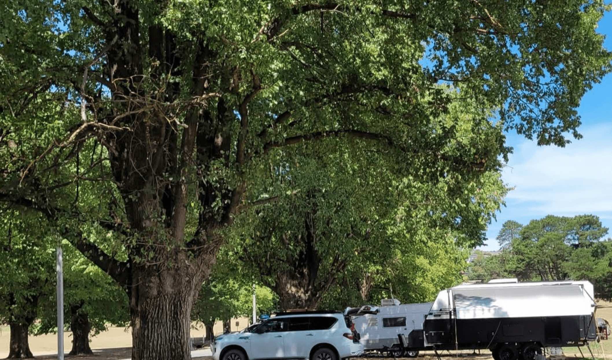
Odonnell Avenue, Myrtleford, 3737, Victoria
0 reviews
Myrtleford Recreation Reserve, also known as the Myrtleford Showgrounds, is a prominent community hub in Myrtleford, Victoria, offering extensive sporting facilities and providing camping options for visitors. Located within the town, it serves as a conve ...
Read More...
Facilities Available, , , , , , ,
, , , , , , ,
Camping Info, , ,
0 reviews
Nambrok Recreation Reserve, which also includes the Nambrok Public Hall, is a local community facility in Nambrok, Victoria, that offers recreational spaces and camping facilities for travellers. Located within the Wellington Shire, it provides a convenie ...
Read More...
Facilities Available, ,
, ,
Camping Info, ,
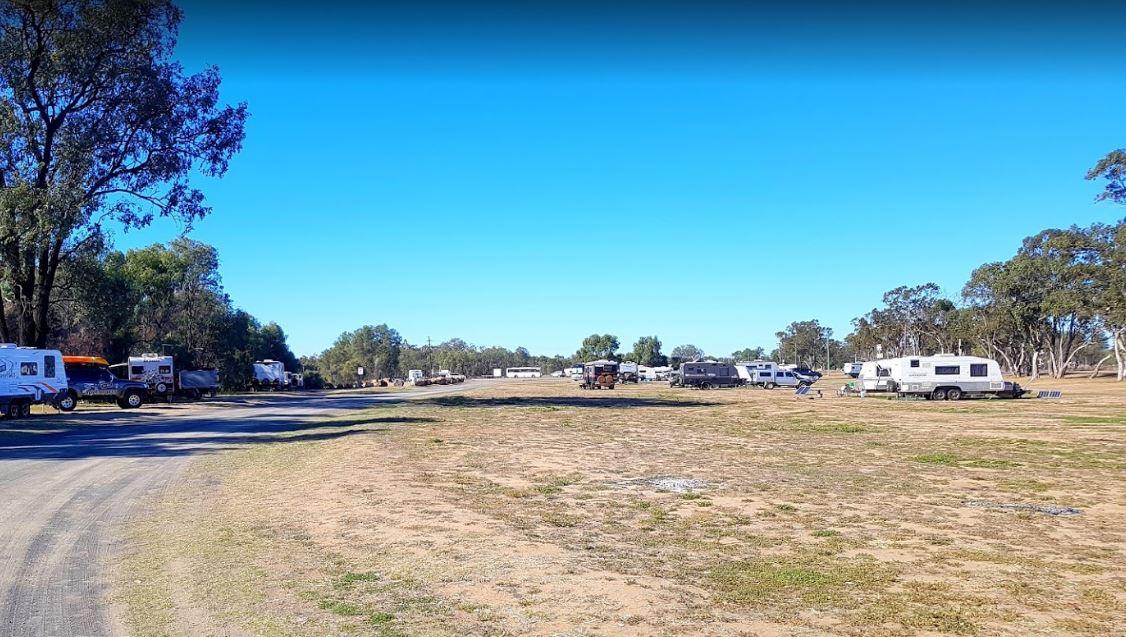
0 reviews
The Neil Turner Weir Rest Area is a nice safe area for your Kayak, the banks can be a bit steep, so be careful if you have young children. P.S. There is a Concrete Boat Ramp which will make it a lot easier to launch the larger rubber boats etc.
Category
Rest Areas
Facilities Available, , , , , , ,
, , , , , , ,
Camping Info,
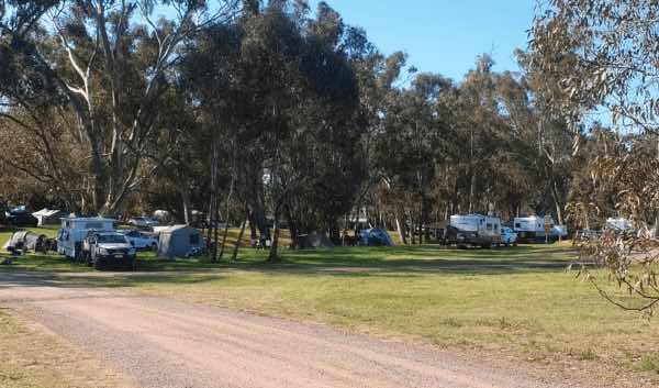
0 reviews
Newbridge Recreation Reserve is a welcoming community space and low-cost campground situated on the banks of the Loddon River in the small town of Newbridge, Victoria. It serves as a popular spot for both locals and visitors seeking a relaxed riverside ex ...
Read More...
Facilities Available, , , , , , , , , ,
, , , , , , , , , ,
Camping Info, ,
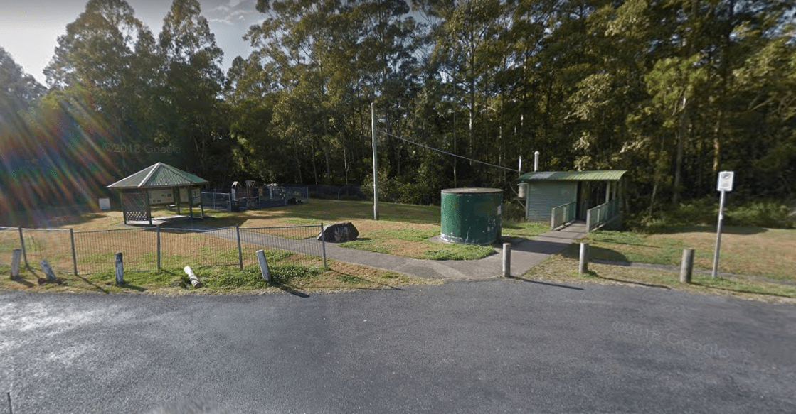
0 reviews
The Newmans Road Rest Area Southbound has an emergency phone is located at this spot along with a few rubbish bins.
Category
Rest Areas
Facilities Available, , , , ,
, , , , ,
Camping Info
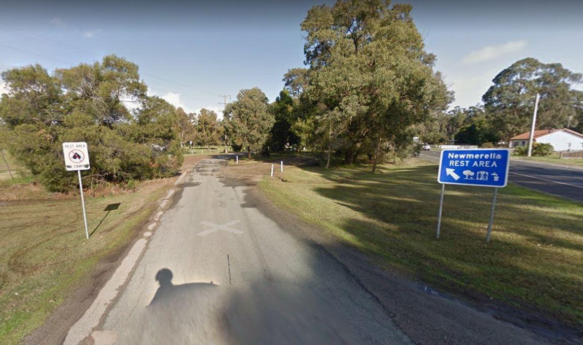
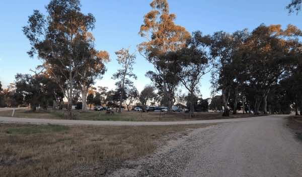
0 reviews
Newstead Racecourse and Recreation Reserve is a historic and spacious reserve located in the town of Newstead, Victoria, situated on the banks of the Loddon River in the heart of the Goldfields region. Once renowned as the longest racecourse in Australia, ...
Read More...
Facilities Available, , , , , , ,
, , , , , , ,
Camping Info, ,
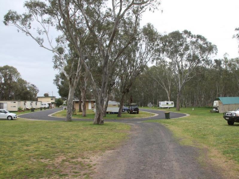
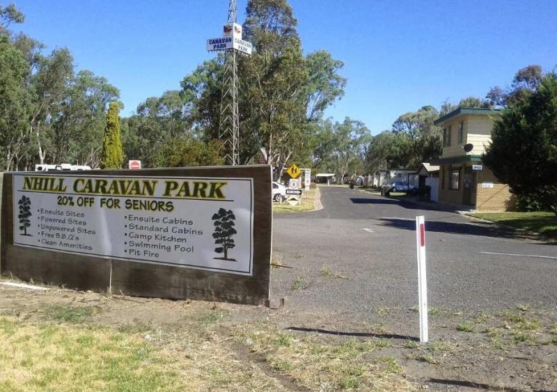
0 reviews
Nhill Caravan Park offers a quiet, pet-friendly, and well-maintained park ideal for a restful overnight stop or a few days of exploring Victoria’s Wimmera region. Surrounded by native trees and well-kept grounds, this park is perfect for caravanners, camp ...
Read More...
Category
Caravan Parks List
Facilities Available, , , , , , , , ,
, , , , , , , , ,
Camping Info
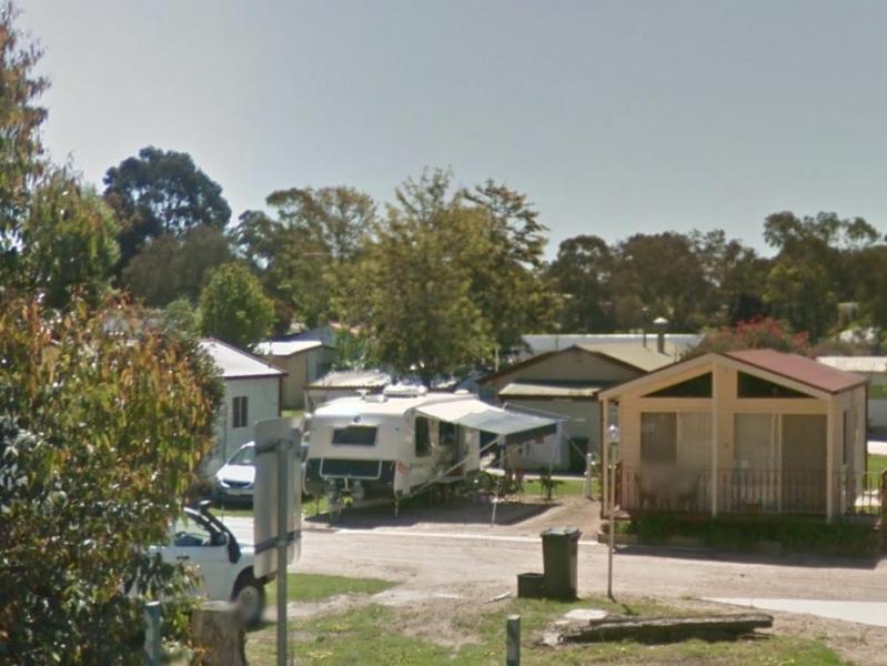
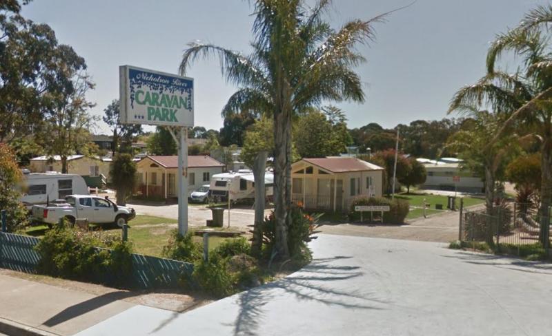
0 reviews
Nicholson River Caravan Park offers a peaceful and well-kept riverside getaway in the heart of East Gippsland. With direct river frontage, this charming park is ideal for fishing, kayaking, or simply relaxing in the natural surroundings. Whether you’re pa ...
Read More...
Category
Caravan Parks List
Facilities Available, , , , , , , , , , , ,
, , , , , , , , , , , ,
Camping Info
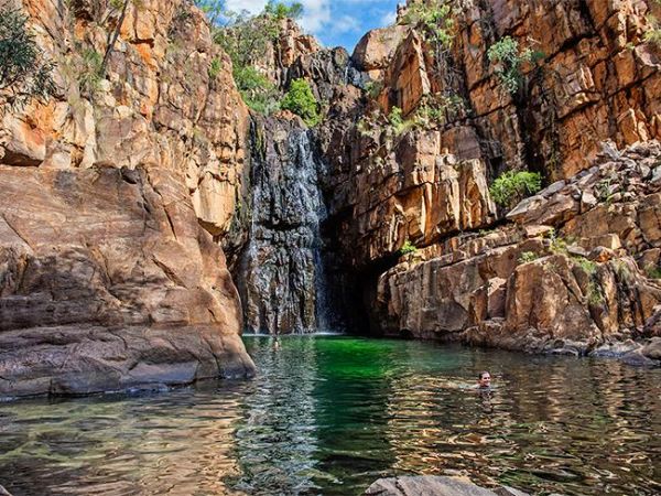
0 reviews
Category
Caravan Parks
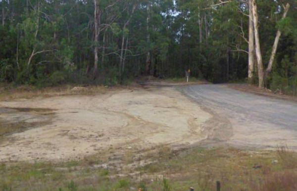
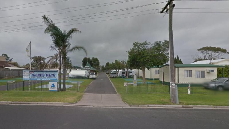
76 Marine Parade, Lakes Entrance, 3909, Victoria
0 reviews
North Arm Tourist Park offers a relaxed and friendly atmosphere just a short walk from the heart of Lakes Entrance. Nestled on the banks of the sheltered North Arm of the Gippsland Lakes, the park is a favourite among fishing enthusiasts, families, and th ...
Read More...
Category
Caravan Parks List
Facilities Available, , , , , , , , ,
, , , , , , , , ,
Camping Info
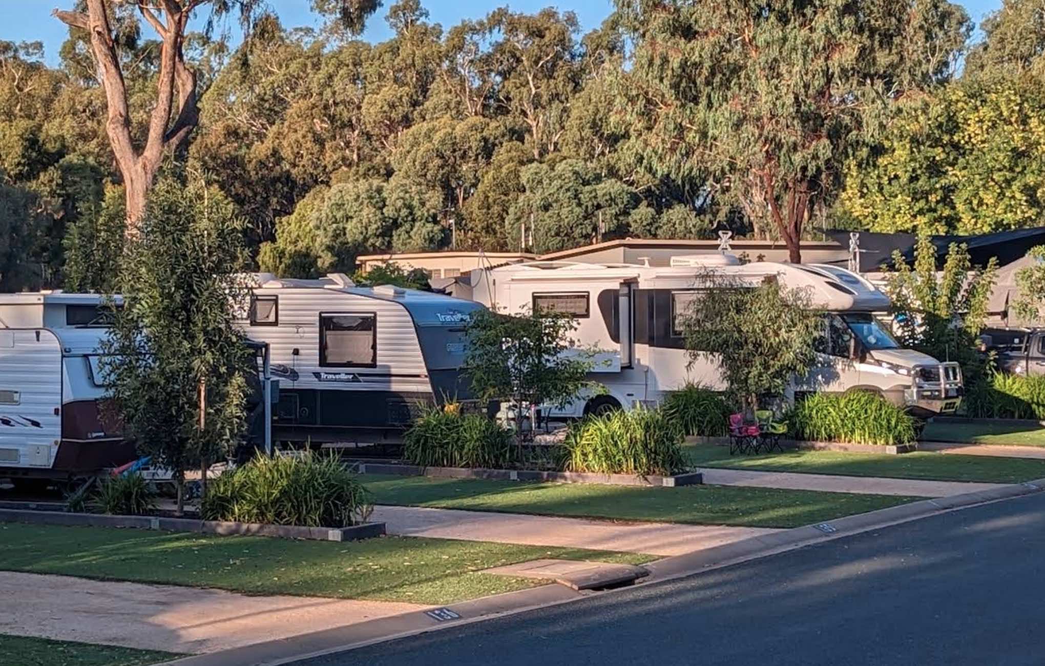
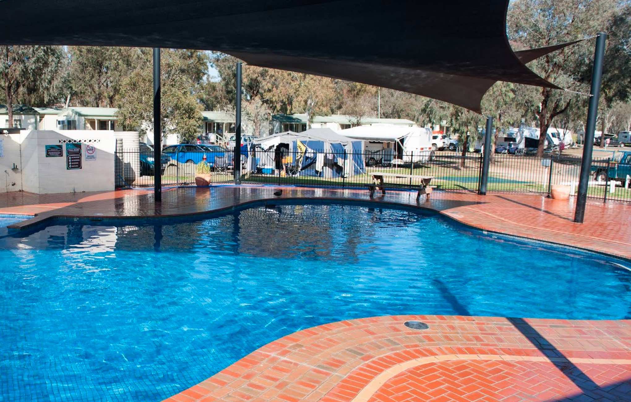
0 reviews
NRMA Echuca Holiday Park
Nestled by the mighty Murray River in the historic town of Echuca, Victoria, NRMA Echuca Holiday Park offers a quintessential Australian holiday experience. It's an ideal base for exploring the rich heritage of the Port of Echuca ...
Read More...
Category
Caravan Parks List
Facilities Available, , , , , , , , , , , , , , , , ,
, , , , , , , , , , , , , , , , ,
Camping Info
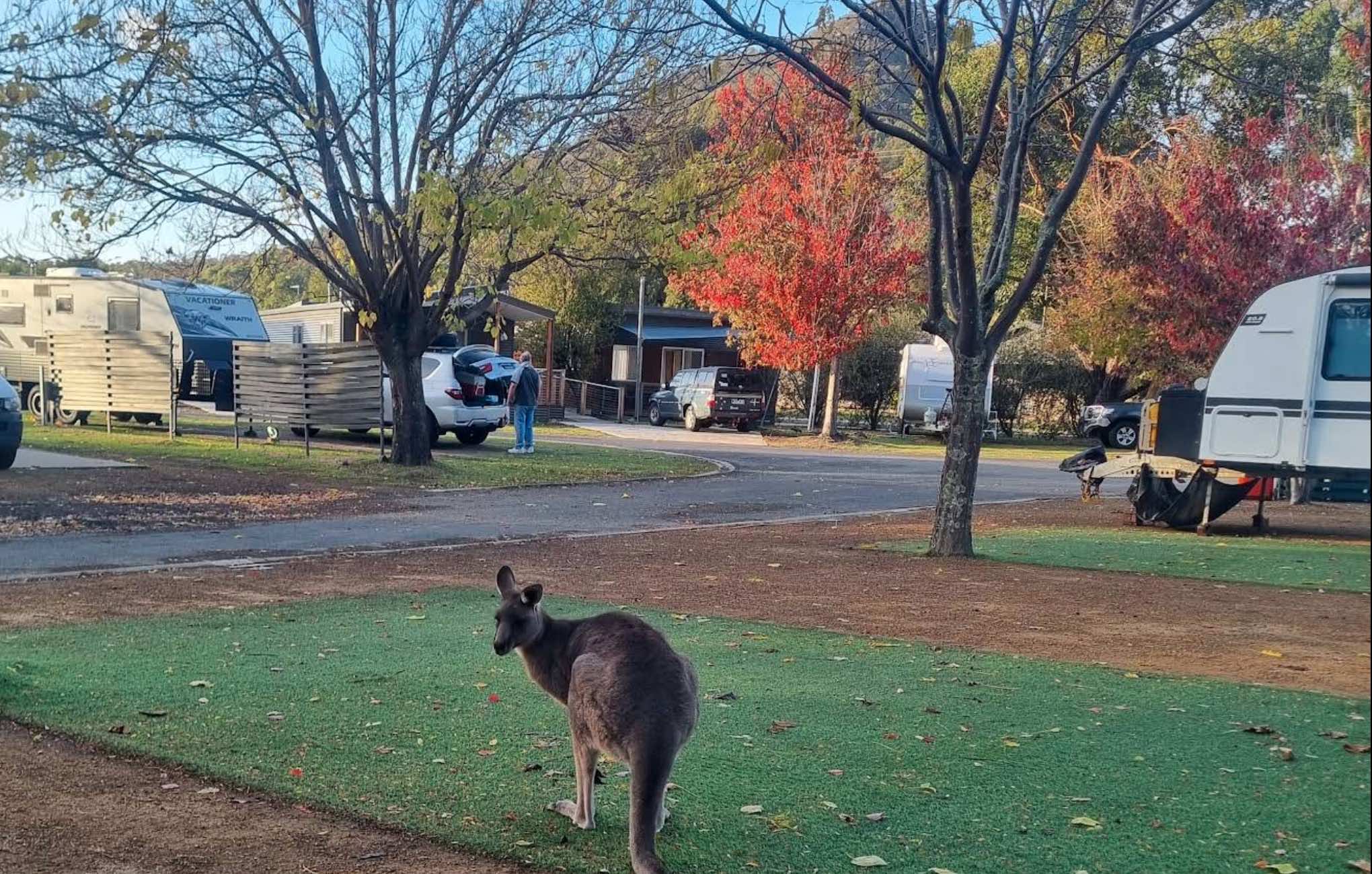
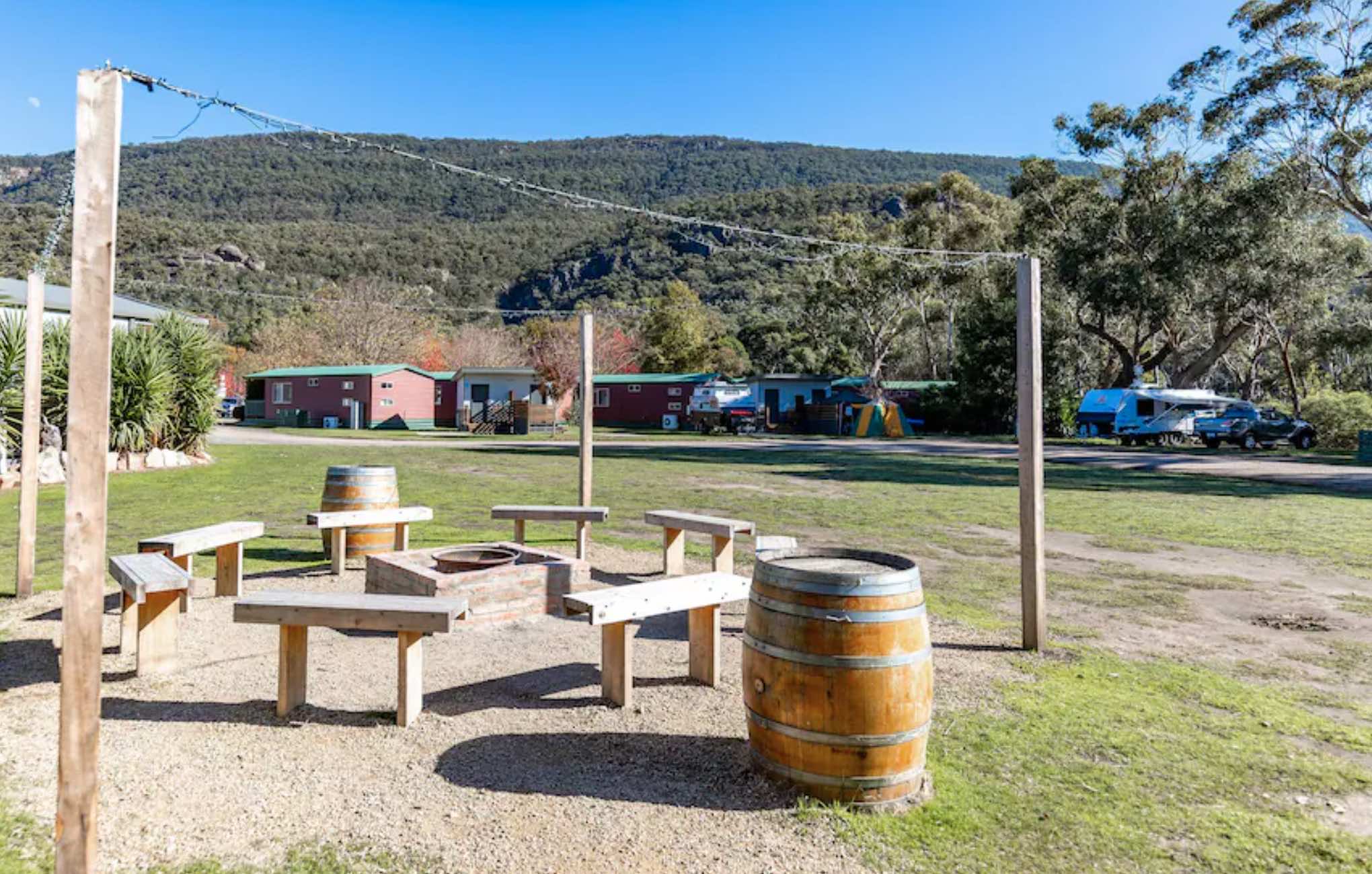
0 reviews
NRMA Halls Gap Holiday Park
Discover the breathtaking beauty of the Grampians National Park from the comfort of NRMA Halls Gap Holiday Park. Located in the heart of Halls Gap, this highly-rated park offers a diverse range of accommodation and an abundanc ...
Read More...
Category
Caravan Parks List
Facilities Available, , , , , , , , , , , , , , , , , ,
, , , , , , , , , , , , , , , , , ,
Camping Info
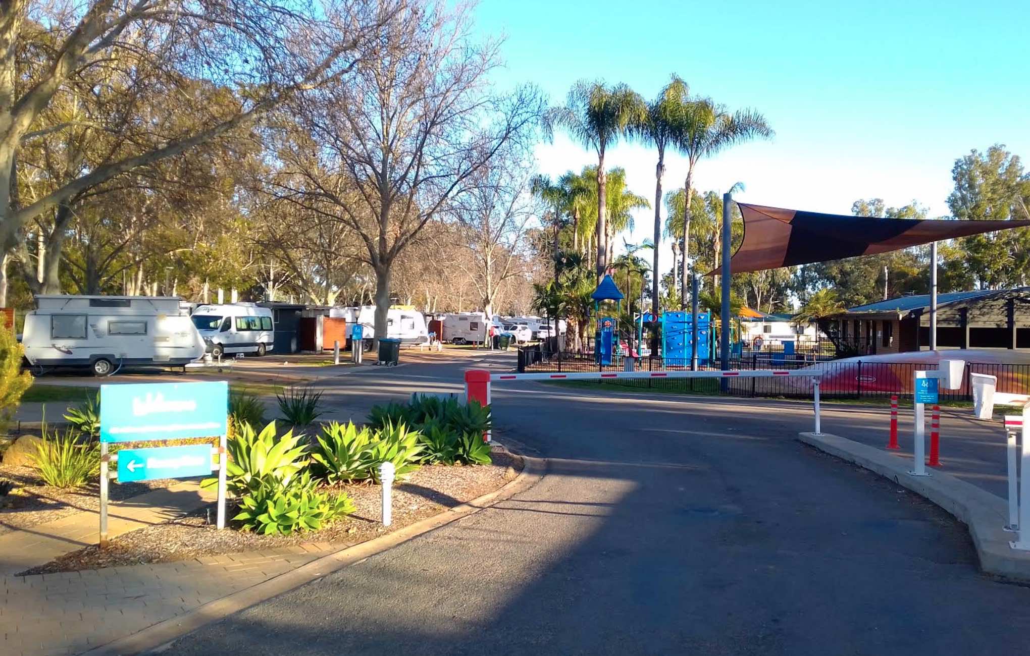
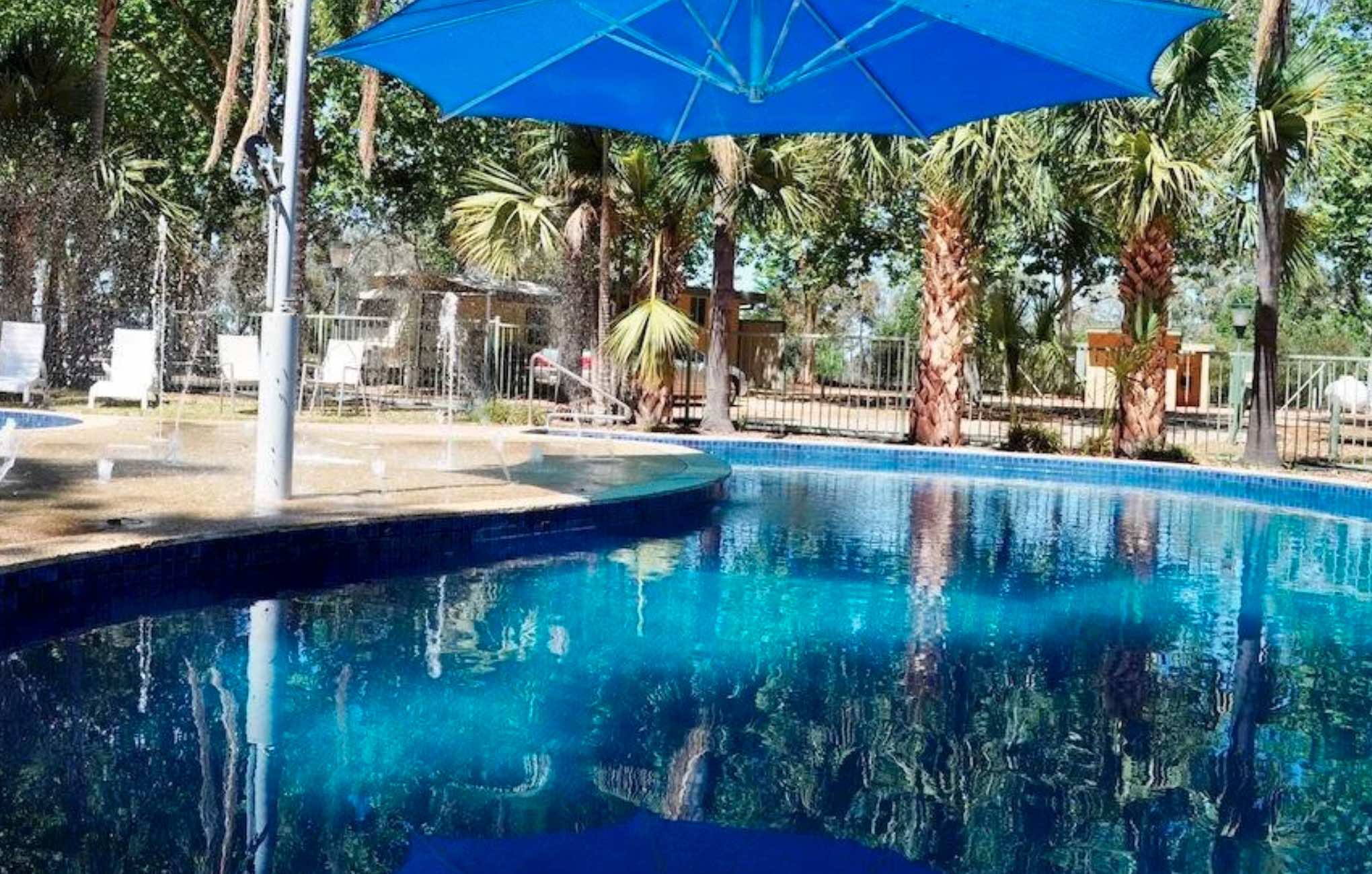
0 reviews
NRMA Mildura Riverside Holiday Park
Discover a tranquil riverside oasis at NRMA Mildura Riverside Holiday Park, perfectly situated in a quiet bushland setting on the banks of the mighty Murray River. This holiday park is your ideal gateway to exploring t ...
Read More...
Category
Caravan Parks List
Facilities Available, , , , , , , , , , , , , , , , ,
, , , , , , , , , , , , , , , , ,
Camping Info
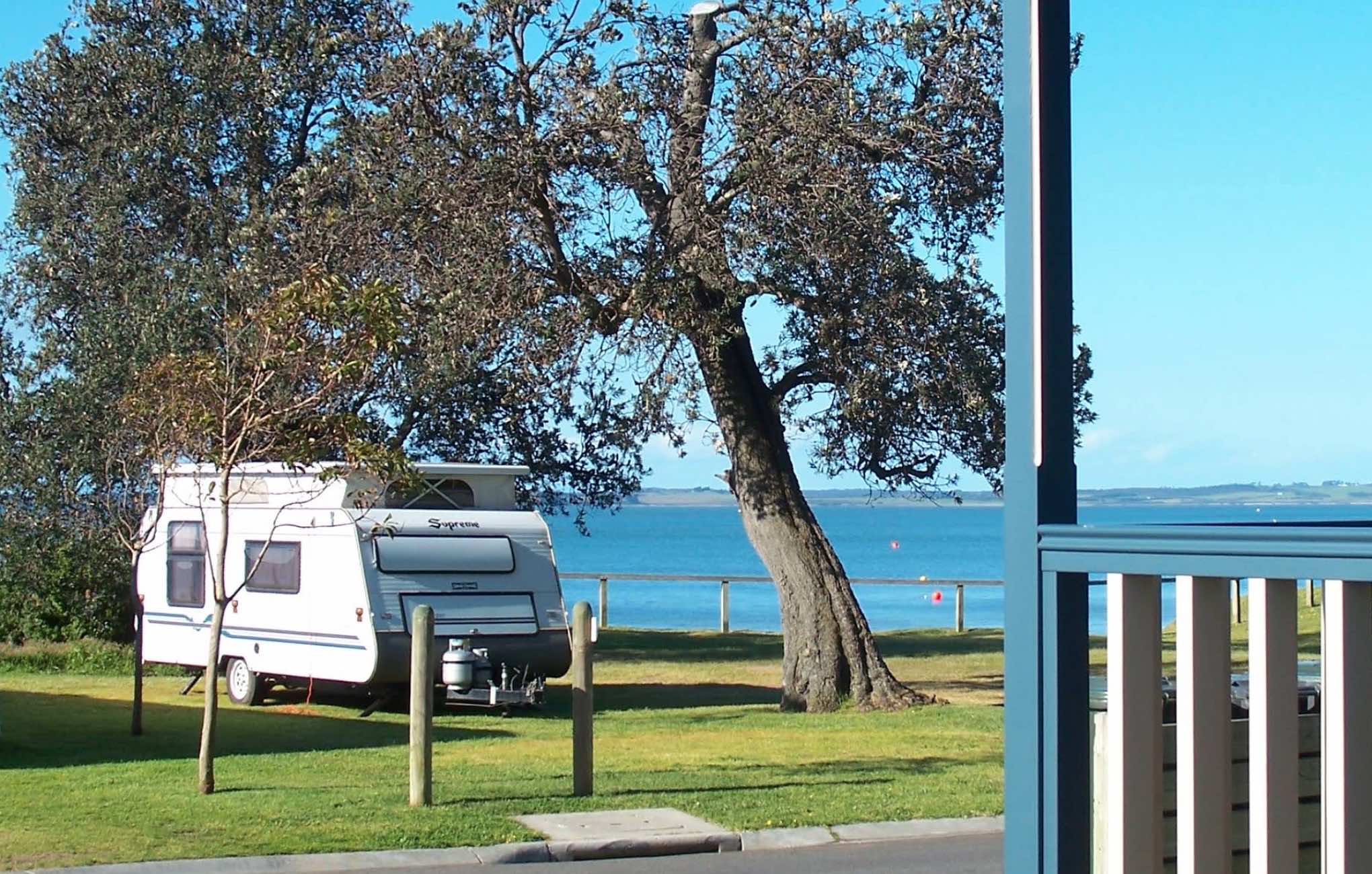
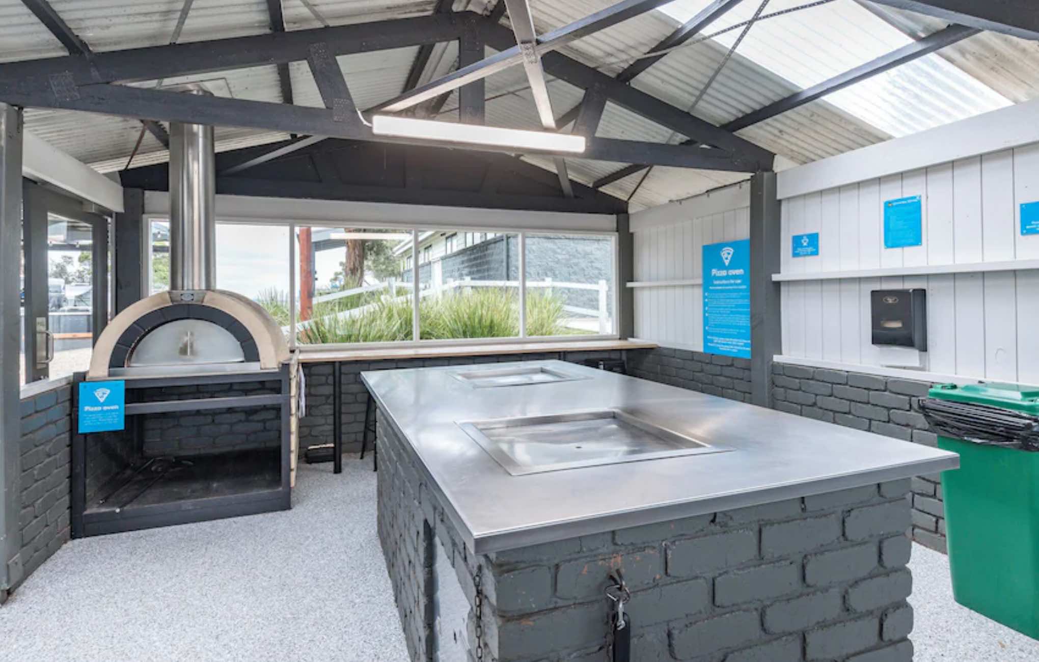
0 reviews
NRMA Phillip Island Beachfront Holiday Park
Experience the best of Phillip Island at NRMA Phillip Island Beachfront Holiday Park, ideally situated directly on the foreshore of Cowes. This award-winning holiday park offers stunning water views and direct ...
Read More...
Category
Caravan Parks List
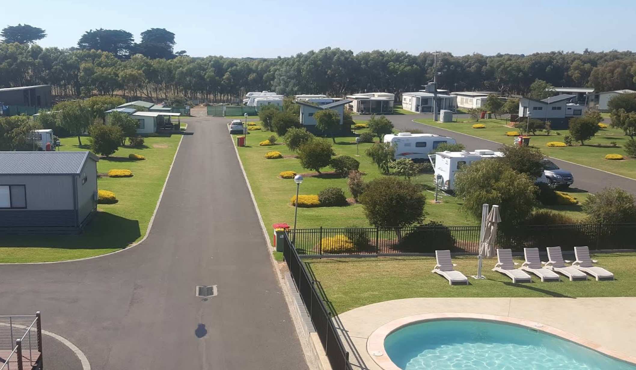
125 Jubilee Park Road, Warrnambool, 3280, Victoria
0 reviews
NRMA Warrnambool Riverside Holiday Park is nestled on the banks of the picturesque Hopkins River, just a short drive east of Warrnambool city centre and conveniently located on the Great Ocean Road. This pet-friendly park offers a variety of accommodation ...
Read More...
Category
Caravan Parks List
Facilities Available, , , , , , , , , , , , , , , , , ,
, , , , , , , , , , , , , , , , , ,
Camping Info,
0 reviews
The Numurkah Showgrounds and Recreation Reserve, located on Tunnock Road in Numurkah, Victoria, is a multi-purpose community facility that serves as the town's showgrounds, a recreational hub, and offers camping facilities for visitors. Situated in the at ...
Read More...
Facilities Available, , , , , ,
, , , , , ,
Camping Info, , , ,
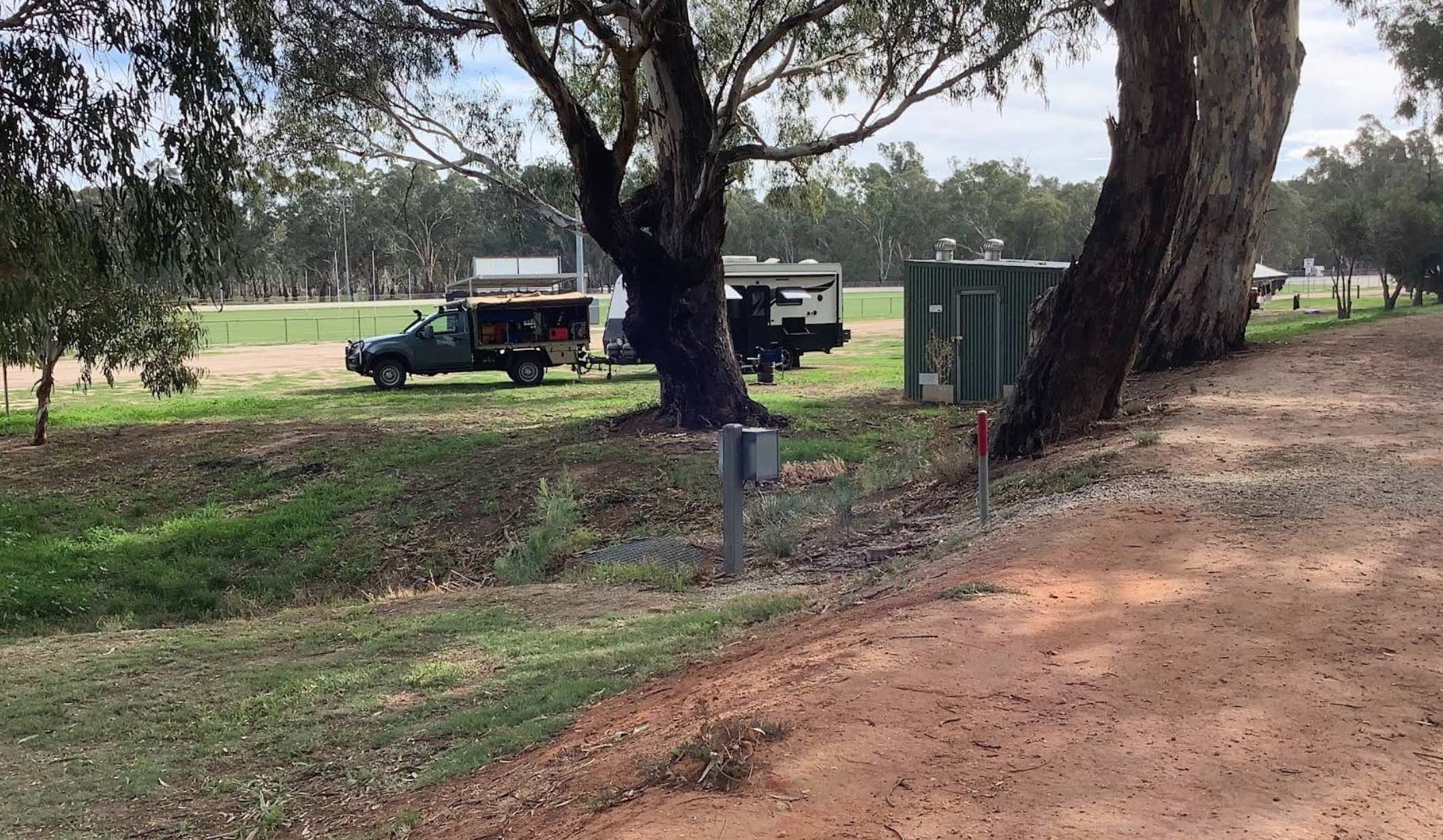
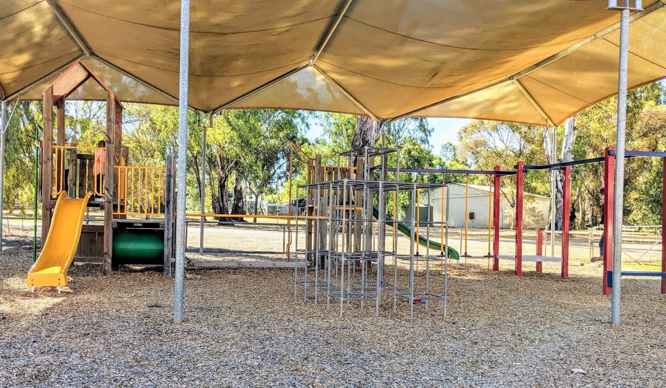
0 reviews
Nyah Lions Club Recreation Reserve Camping Area offers a welcoming and free camping experience situated on the banks of the serene Murray River in Victoria. This reserve provides a relaxed setting with a mix of shaded and sunny spots, abundant wildlife, a ...
Read More...
Category
Free Camping
Facilities Available, , , , , , ,
, , , , , , ,
Camping Info, , , ,
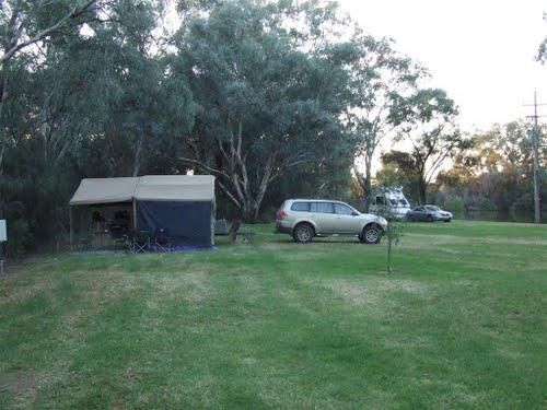
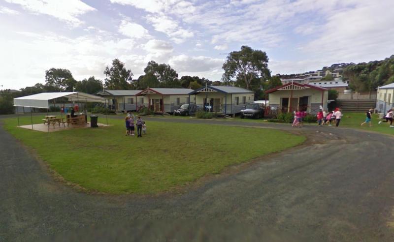
90 Wallington Road, Ocean Grove, 3226, Victoria
0 reviews
Ocean Grove Holiday Park offers the perfect mix of relaxation and recreation for families, couples, and groups looking to enjoy the coast. Just a short drive from Geelong, this holiday park is a favorite for its laid-back vibe, well-maintained facilities, ...
Read More...
Category
Caravan Parks List
Facilities Available, , , , , , , ,
, , , , , , , ,
Camping Info
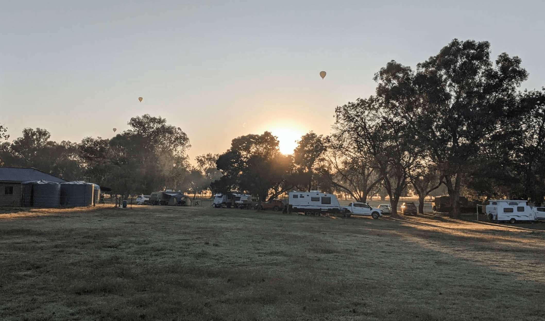

0 reviews
The Oxley Recreation Reserve, located at 300-312 Oxley-Meadow Creek Road, Oxley VIC 3678, is a unique and expansive reserve situated in Victoria's picturesque High Country. Covering 47 hectares, the reserve features a blend of bushland and cleared areas a ...
Read More...
Facilities Available, , , , , , , ,
, , , , , , , ,
Camping Info, ,
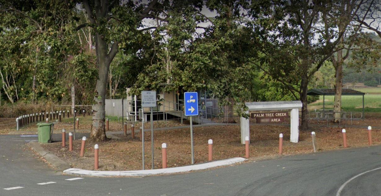
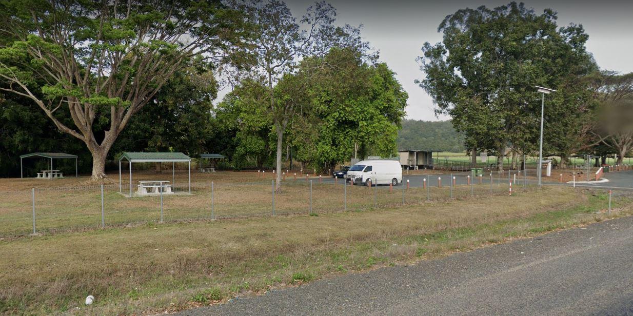
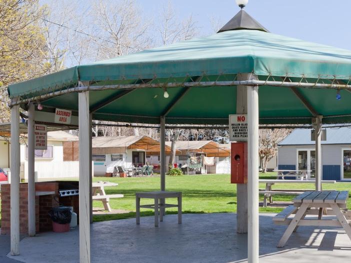
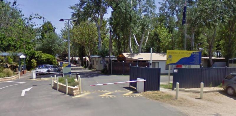
0 reviews
Peninsula Holiday Park offers a laid-back, family-friendly base for exploring the best of the Mornington Peninsula. Set amongst mature trees and landscaped gardens, the park provides a tranquil atmosphere for holidaymakers of all kinds—from couples seekin ...
Read More...
Category
Caravan Parks List
Facilities Available, , , , , , , , , ,
, , , , , , , , , ,
Camping Info
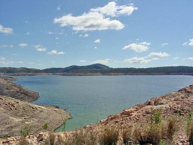
0 reviews
The Pindari Dam Camping Area is utopia if you enjoy fishing and camping and has a boat ramp available if needed. There is plenty of shoreline fishing spots available, great place for a kayak and camera , undercover picnic tables, public long drop toilets, ...
Read More...
Category
Rest Areas
Facilities Available, , , , , ,
, , , , , ,
Camping Info
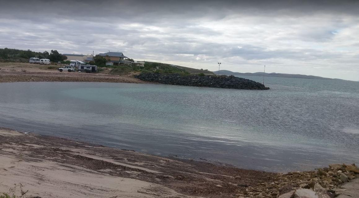
Port Bonython Road, Point Lowly, 5601, South Australia
0 reviews
The Point Lowly Camping Area has it all, great views, good fishing, clean facilities its a credit to the Whyalla Council. As of 1 July 2013 a camping permit system was introduced at Point Lowly Camping Area.
Category
Camping Fees Apply
Facilities Available, , , , ,
, , , , ,
Camping Info,
Stuart Highway, Mount Willoughby, 5723, South Australia
0 reviews
The Pootnoura Rest Area has an amazing view... oooopps maybe the heat is getting to me, there's not much to do here but take a break from driving, and maybe hallucinate a bit from the heat and read the information board. This site is set back from the mai ...
Read More...
Category
Rest Areas
Facilities Available,
,
Camping Info


0 reviews
Poowong Recreation Reserve in Victoria offers a budget-friendly camping option for travellers, particularly those with self-contained vehicles.
Powered sites are available: payment to be made at the local pub in Poowong.
Facilities: The reserve provides ...
Read More...
Facilities Available, , , ,
, , , ,
Camping Info, ,
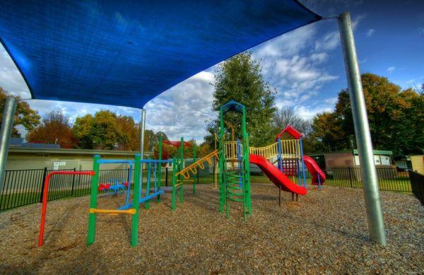
36 Mount Buffalo Road, Porepunkah, 3740, Victoria
0 reviews
Porepunkah Bridge Caravan Park offers a serene riverside getaway surrounded by mountains, native bush, and the picturesque charm of the Ovens Valley. It’s a favourite spot for families, nature lovers, and cyclists exploring the Alpine region.
With Mount ...
Read More...
Category
Caravan Parks List
Facilities Available, , , , , , , ,
, , , , , , , ,
Camping Info
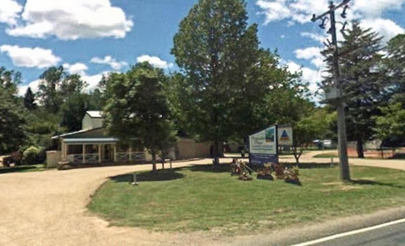
7065 Great Alpine Road, Porepunkah, 3740, Victoria
0 reviews
Porepunkah Pines Tourist Resort is a peaceful and welcoming holiday destination nestled at the foot of Mount Buffalo. Set among shady pine trees and open grassy spaces, this family-friendly resort offers clean, comfortable accommodation with a strong focu ...
Read More...
Category
Caravan Parks List
Facilities Available, , , , , , , , , , , , ,
, , , , , , , , , , , , ,
Camping Info
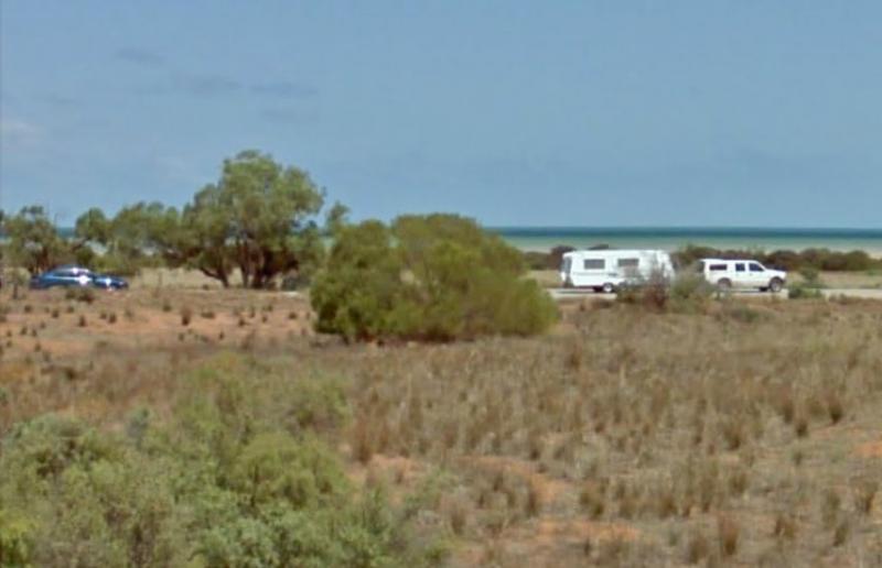
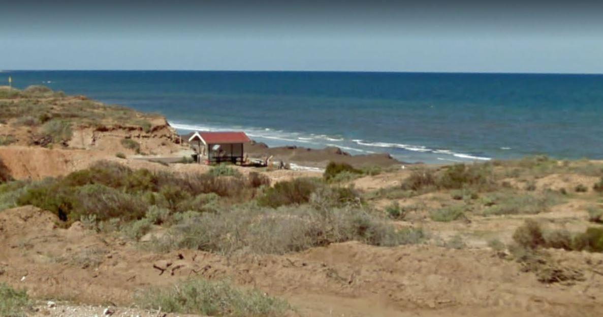
Beach Road, Port Gibbon, 5602, South Australia
0 reviews
If your planning on going to Port Gibbon Camping Area be sure to bring plenty of supplies with you, as there are no local shops to replenish from, and I'm sure you will get fed up eating fish everyday and nothing else.
Category
Camping Fees Apply
Facilities Available, , , , , , , ,
, , , , , , , ,
Camping Info
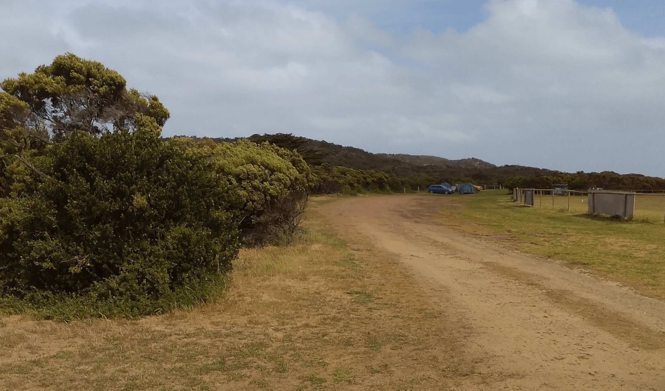
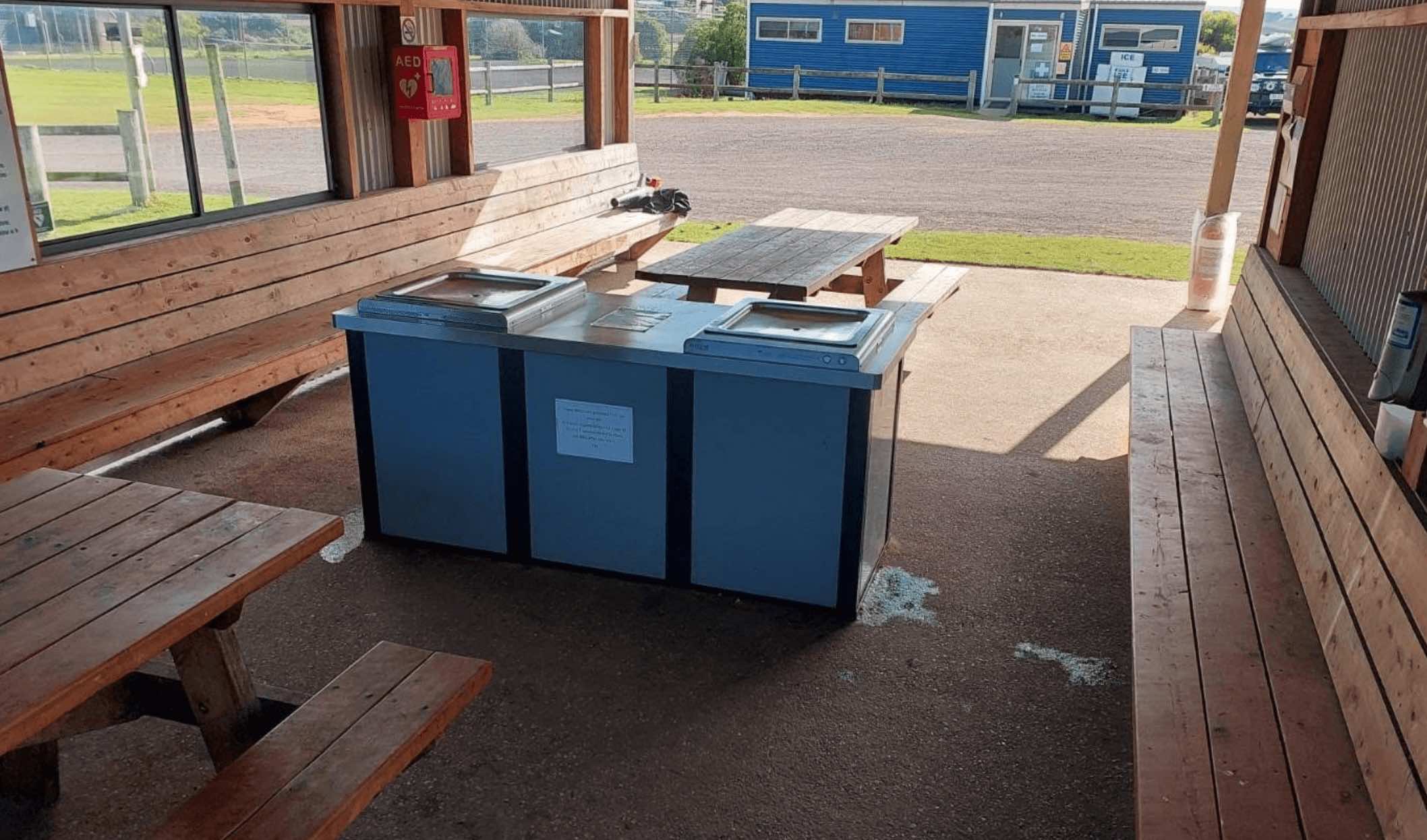
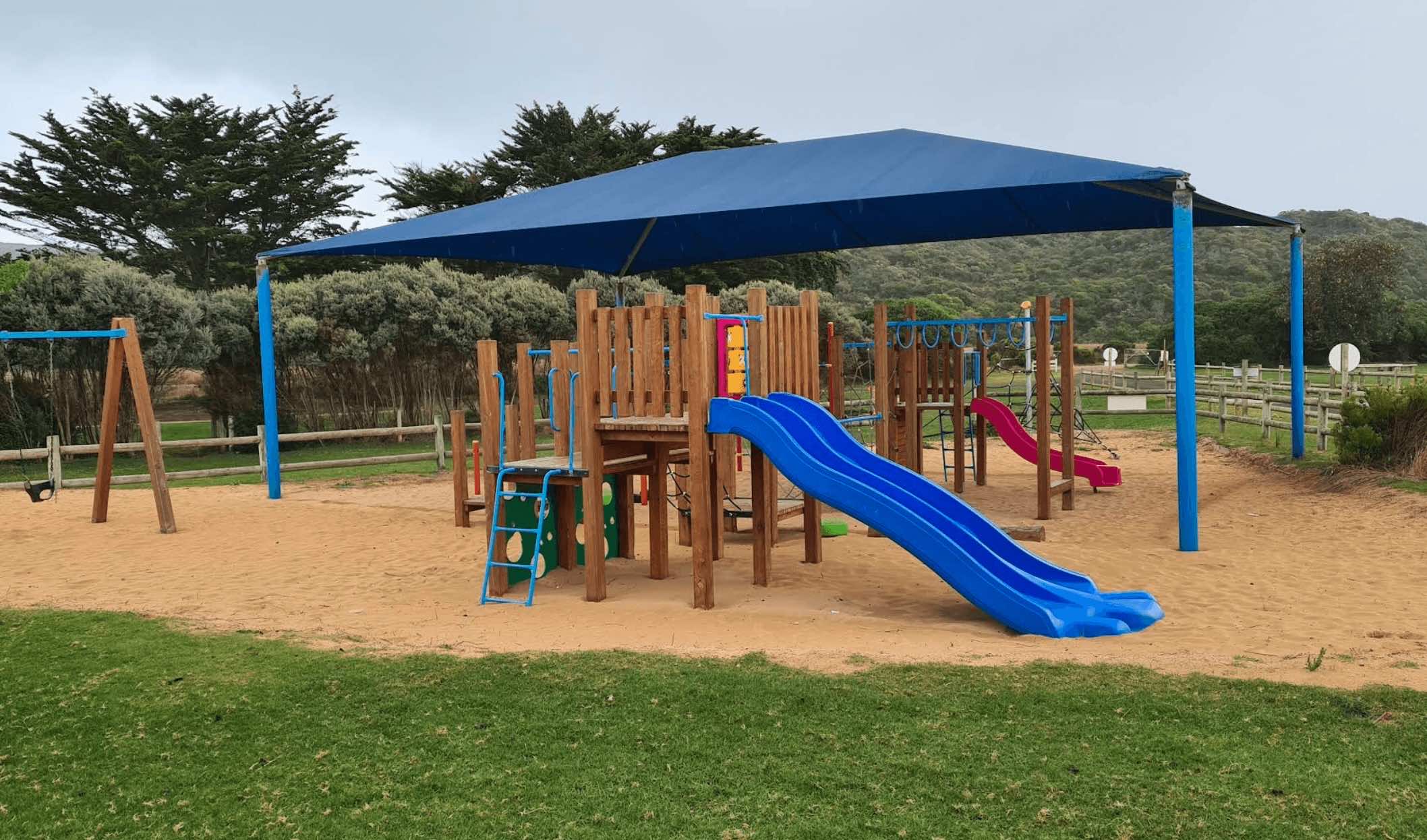
Old Coach Road, Princetown, 3269, Victoria
0 reviews
Princetown Recreation Reserve is a popular campground located on the Great Ocean Road in Victoria, approximately 6 kilometres east of the iconic Twelve Apostles. Situated adjacent to the Gellibrand River and close to the Princetown Wetlands and Princetown ...
Read More...
Facilities Available, , , , , ,
, , , , , ,
Camping Info,
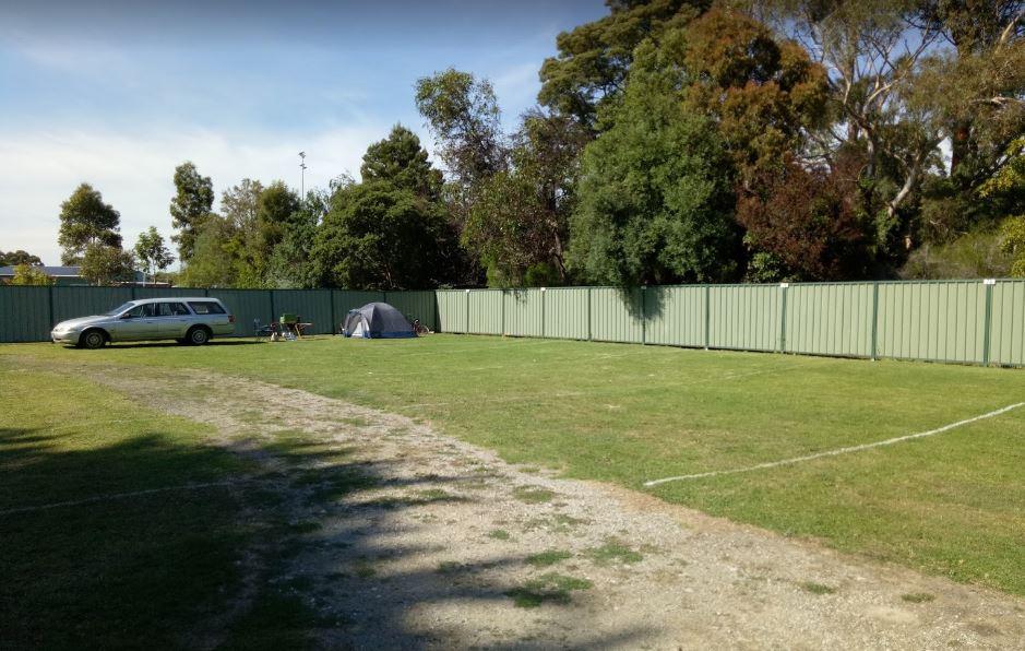
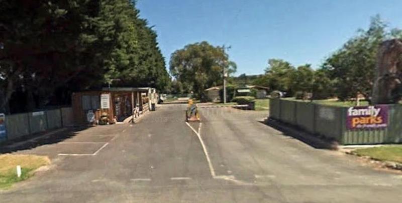
0 reviews
Prom Central Caravan Park offers a peaceful and convenient stay for visitors heading to Wilsons Promontory, one of Victoria’s most loved national parks. Located in the friendly township of Foster, the park is a short walk from shops, cafés, and the Great ...
Read More...
Category
Caravan Parks List
Facilities Available, , , , , , , , , ,
, , , , , , , , , ,
Camping Info
Unnamed Road, Arthurs Lake, 7030, Tasmania
0 reviews
The Pump House Bay campground has toilets and showers adjacent Hydro Bay area of Arthurs Lake and this lake has some of the best trout fishing in Tasmania, the campsite can be closed during the winter months due to snow.
Category
Camping Fees Apply
Facilities Available, , , , , ,
, , , , , ,
Camping Info
Hesse Street, Queenscliff, 3225, Victoria
0 reviews
Queenscliff Recreation Reserve, part of the Queenscliffe Tourist Parks, offers a coastal camping experience in the charming town of Queenscliff, Victoria. Situated a stone's throw from the beach and bay, the reserve provides a convenient base for explorin ...
Read More...
Facilities Available, , , , , , , ,
, , , , , , , ,
Camping Info, ,
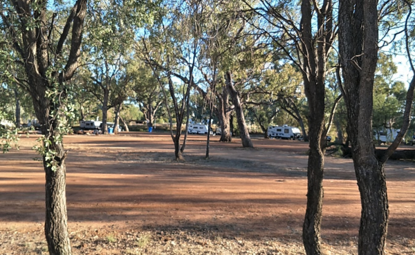

0 reviews
Reddas Park Camping Area toilets have two hot and cold showers each, and are clean and tidy and the nighttime lights are timed by push button. There are 2 powered camping areas, each with a power pole and four outlets. This campground is illuminated at ni ...
Read More...
Category
Camping Fees Apply
Facilities Available, , , , , ,
, , , , , ,
Camping Info
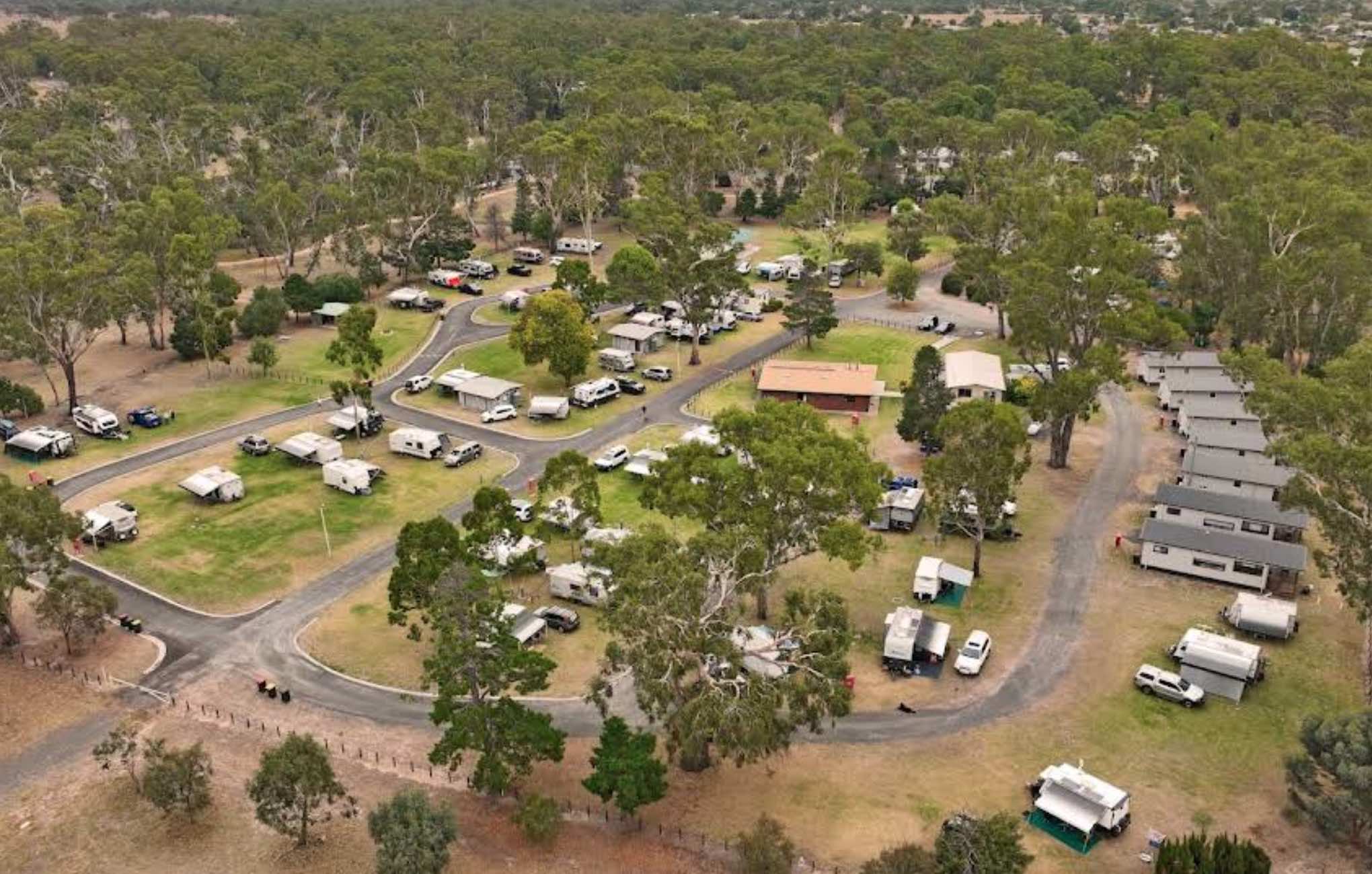
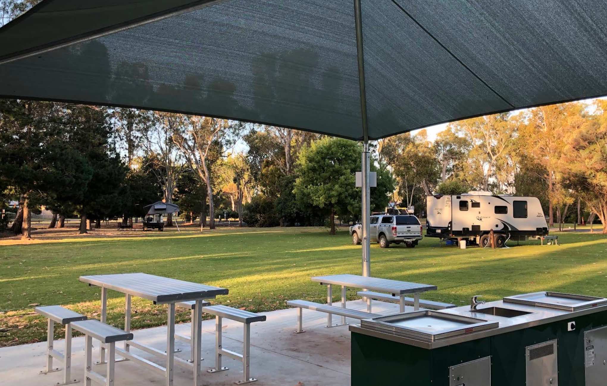
0 reviews
Riverside Caravan Park Dimboola (Dimboola, Victoria)
Riverside Caravan Park Dimboola is nestled alongside the picturesque Wimmera River, offering a tranquil bush setting for a relaxing getaway. It's an ideal base for exploring the Little Desert National ...
Read More...
Category
Caravan Parks List
Facilities Available, , , , , , ,
, , , , , , ,
Camping Info
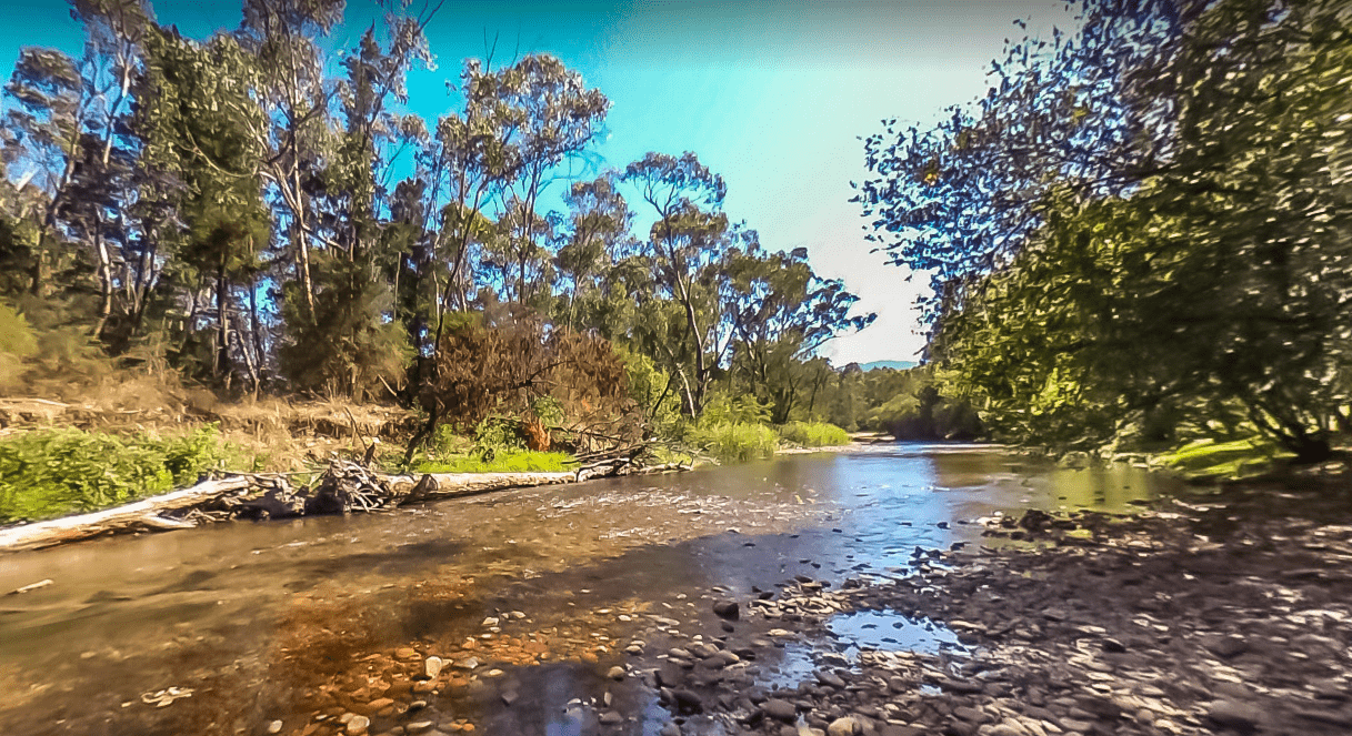
18 Junction Road, Porepunkah, 3740, Victoria
0 reviews
Riverview Caravan Park is a quiet, riverside retreat ideal for campers, caravanners, and families looking to unwind in a natural setting. With large shaded sites, cozy cabins, and direct access to the Murray River, it’s the perfect base to explore the Rut ...
Read More...
Category
Caravan Parks List
Facilities Available, , , , , , , , , , , ,
, , , , , , , , , , , ,
Camping Info
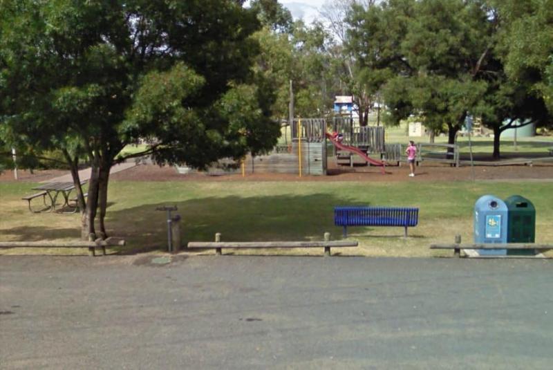
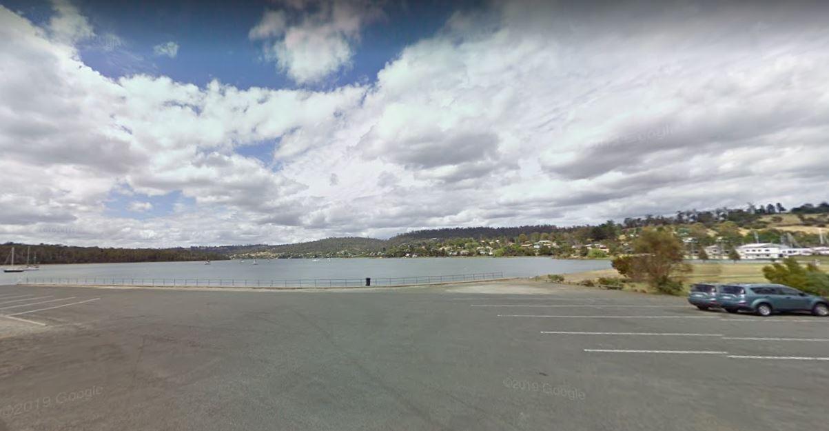
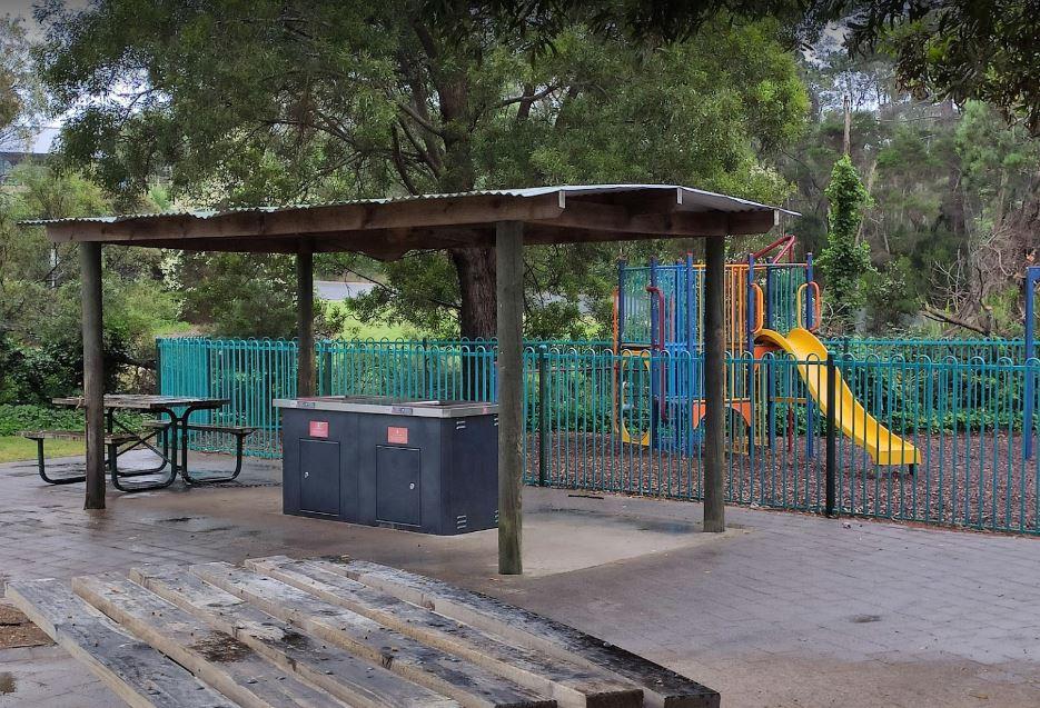
Gravelly Beach Road, Gravelly Beach, 7276, Tasmania
0 reviews
The Rose Bay Park Rest Area is a lovely park with shady trees and good playground for kids, plus a skate ramp and Basketball hoops. There is also a public toilet, some undercover picnic tables, rubbish bins and free electric BBQ's . You can easliy walk ov ...
Read More...
Category
Rest Areas
Facilities Available, , , , , , , ,
, , , , , , , ,
Camping Info,
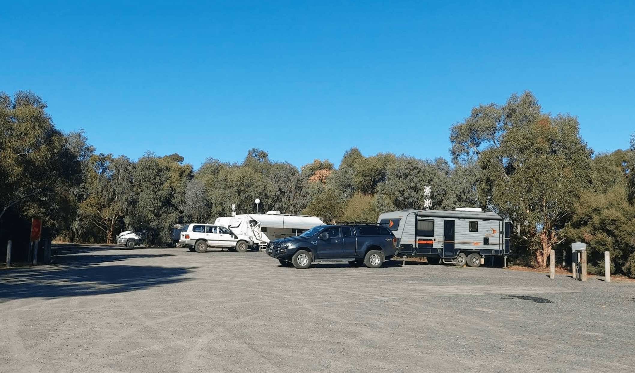

0 reviews
Rupanyup Memorial Park, located at 89 Wimmera Highway in Rupanyup, Victoria 3388, offers a convenient and affordable stop for travellers, particularly those exploring the renowned Silo Art Trail. Situated beside a tranquil billabong, the park provides bot ...
Read More...
Facilities Available, , , , , , ,
, , , , , , ,
Camping Info, , ,
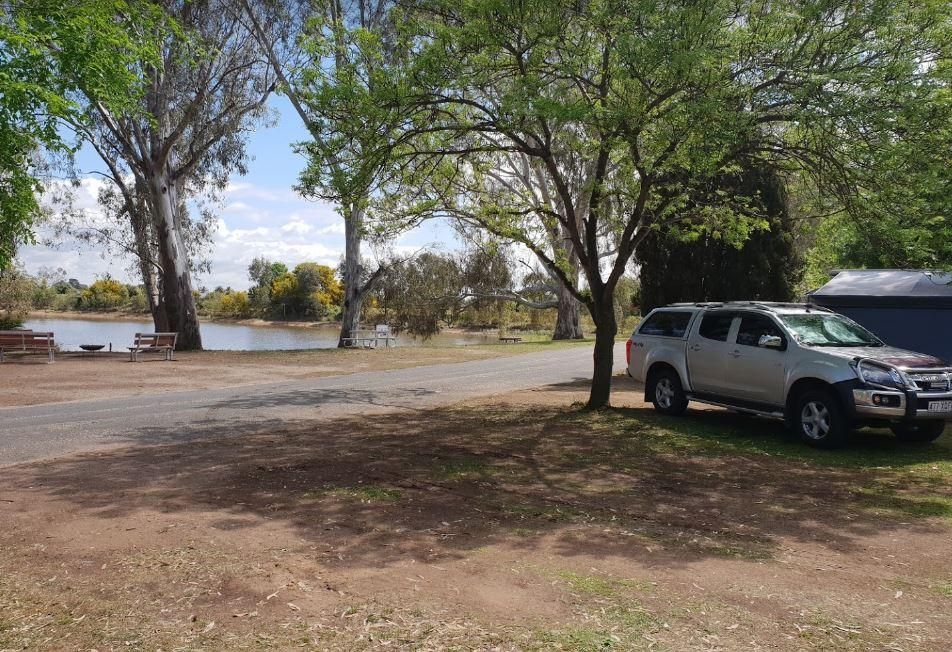
72 Murray Street, Rutherglen, 3685, Victoria
0 reviews
Rutherglen Caravan & Tourist Park offers relaxed, shady accommodation in the heart of one of Victoria’s most famous wine regions. This peaceful park is set within a natural bush setting alongside Lake King, providing visitors with both tranquility and ...
Read More...
Category
Caravan Parks List
Facilities Available, , , , ,
, , , , ,
Camping Info
0 reviews
Sale Motor Village offers a peaceful and well-maintained accommodation option for travellers exploring the Gippsland region. Whether you're in a caravan, motorhome, or looking for a cozy cabin stay, the park provides easy access to town amenities while ma ...
Read More...
Category
Caravan Parks List
Facilities Available, , , , , , , , , , , , ,
, , , , , , , , , , , , ,
Camping Info

0 reviews
Sale Showgrounds Caravan & Motorhome Park: A Convenient Stop in Sale
Located at the Sale Showgrounds, the Sale Showgrounds Caravan & Motorhome Park offers a convenient and well-equipped stop for travellers with caravans, motorhomes, and camper tr ...
Read More...
Category
Caravan Parks List
Facilities Available, , ,
, , ,
Camping Info
0 reviews
Sea Lake Recreation Reserve Caravan Park offers convenient and well-equipped accommodation in the heart of Sea Lake, Victoria, making it an excellent base for exploring the unique natural attractions and art installations of the Mallee region. Located on ...
Read More...
Facilities Available, , , , , ,
, , , , , ,
Camping Info
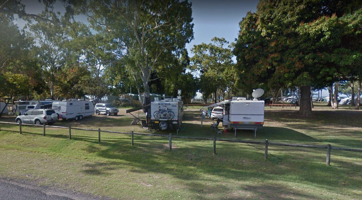
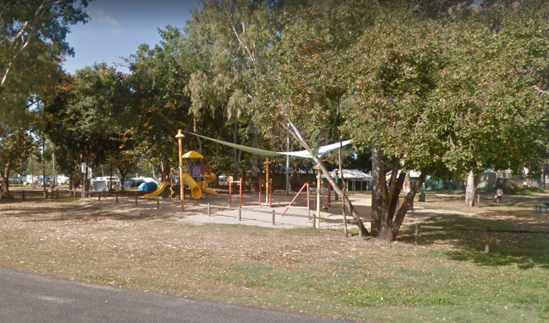
0 reviews
The Seaforth Foreshore Reserve Camping Area has a camp kitchen, toilets, showers, BBQ, powered and unpowered sites, washing machines, easy access to the beach, even outside showers Bookings are advised for peak periods. Seaforth - Booking office is locate ...
Read More...
Category
Camping Fees Apply
Facilities Available, , , , , , , , ,
, , , , , , , , ,
Camping Info,
0 reviews
Sebastian Racecourse & Recreation Reserve, located at 23 Vogele Road, Sebastian VIC 3556, offers a budget-friendly camping option with a focus on community support. This reserve functions as a locally maintained campsite, situated on an active trottin ...
Read More...
Facilities Available, , , ,
, , , ,
Camping Info, ,
49 Mcintosh Street, Shoalhaven Heads, 2535, New South Wales
0 reviews
Category
Caravan Parks
Facilities Available, , , , , , , , , , , , ,
, , , , , , , , , , , , ,
Camping Info
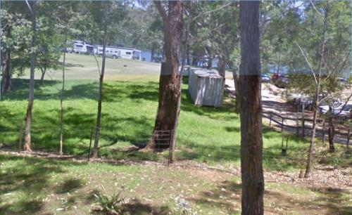
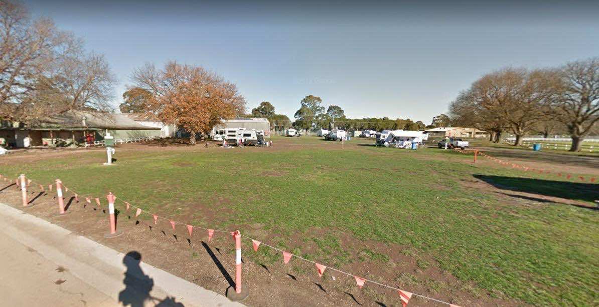
0 reviews
Simpson Recreation Reserve Camping
Note: Must book in advance. 0428363604 or 0408034359.
Facilities:
Toilets and showers
Drinking water
Power hookups
Dump point
Pets allowed (must be controlled)
Suitable for caravans, big r ...
Read More...
Facilities Available, , , , , ,
, , , , , ,
Camping Info, ,
0 reviews
The Six Mile Creek Rest Area has picnic tables, public toilets and dump point plus rubbish bins here, very noisy as right on highway, and a few local drunks who seem to congregate here. Note: a Maximum stay of 20 hours, fines apply if you exceed it.
Category
Rest Areas
Facilities Available, , , , ,
, , , , ,
Camping Info,
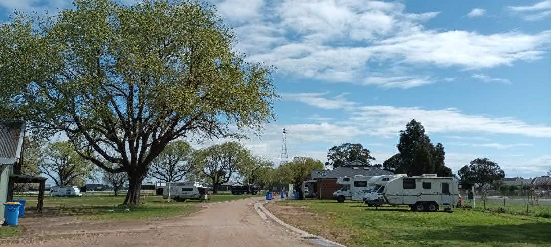
0 reviews
The Skipton Golf & Bowls Club offers camping for self-contained vehicles, providing a relaxed stopover option.
Camping is available by donation: Donations can be placed in envelopes provided near the clubroom's front door, with a note indicating it i ...
Read More...
Facilities Available, , , ,
, , , ,
Camping Info, ,
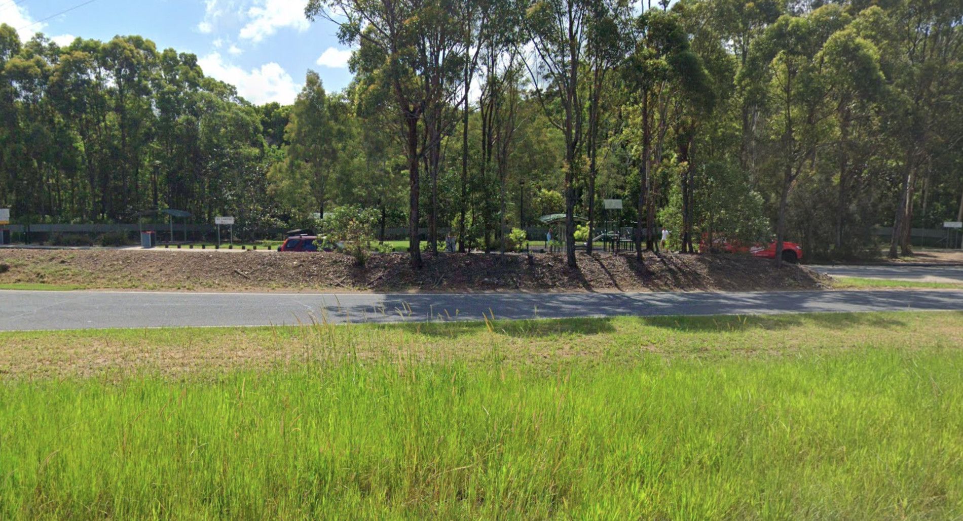
Pacific Highway, Sleepy Hollow, 2483, New South Wales
0 reviews
Sleepy Hollow Rest Area (northbound) has seperate areas to park trucks and cars with plenty of space to park your caravan. Public toilets with water tap on side of building, undercover picnic tables and rubbish bins.
Category
Rest Areas
Facilities Available, , , ,
, , , ,
Camping Info
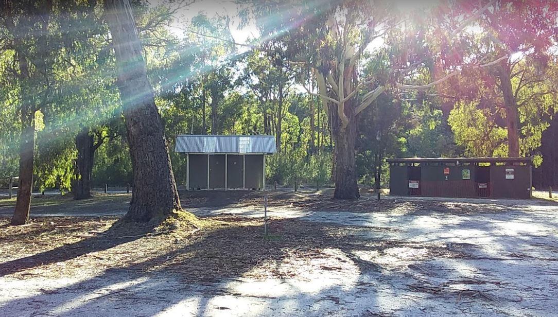
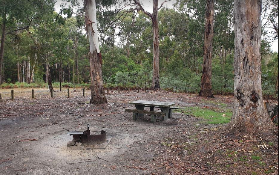
0 reviews
The Smiths Bridge Campground, is fairly close to the main road, but not to many cars at night so you can relax in amongst the tall trees, and take advantage of public toilets and the picnic facilities.
Category
Free Camping
Facilities Available, , , ,
, , , ,
Camping Info
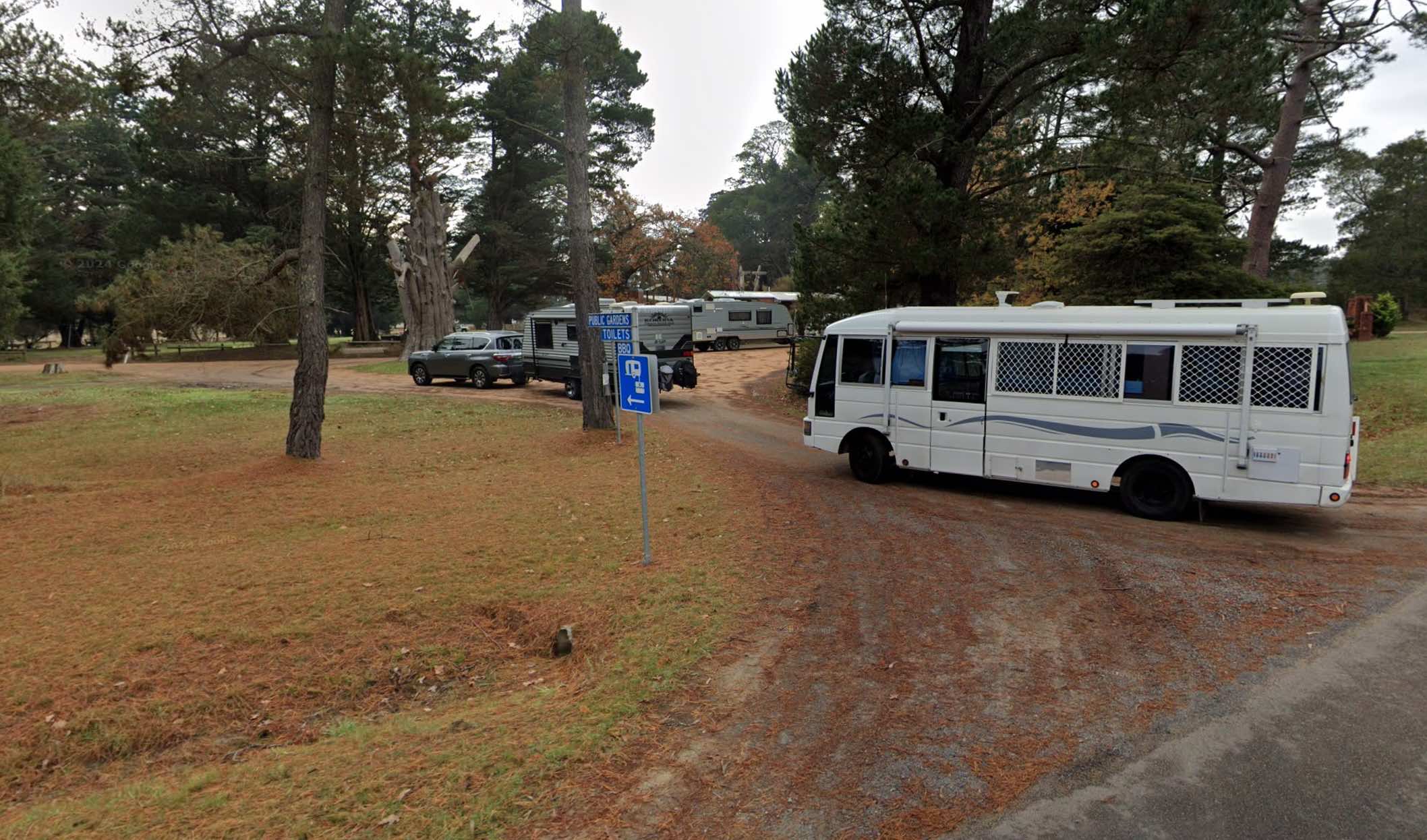
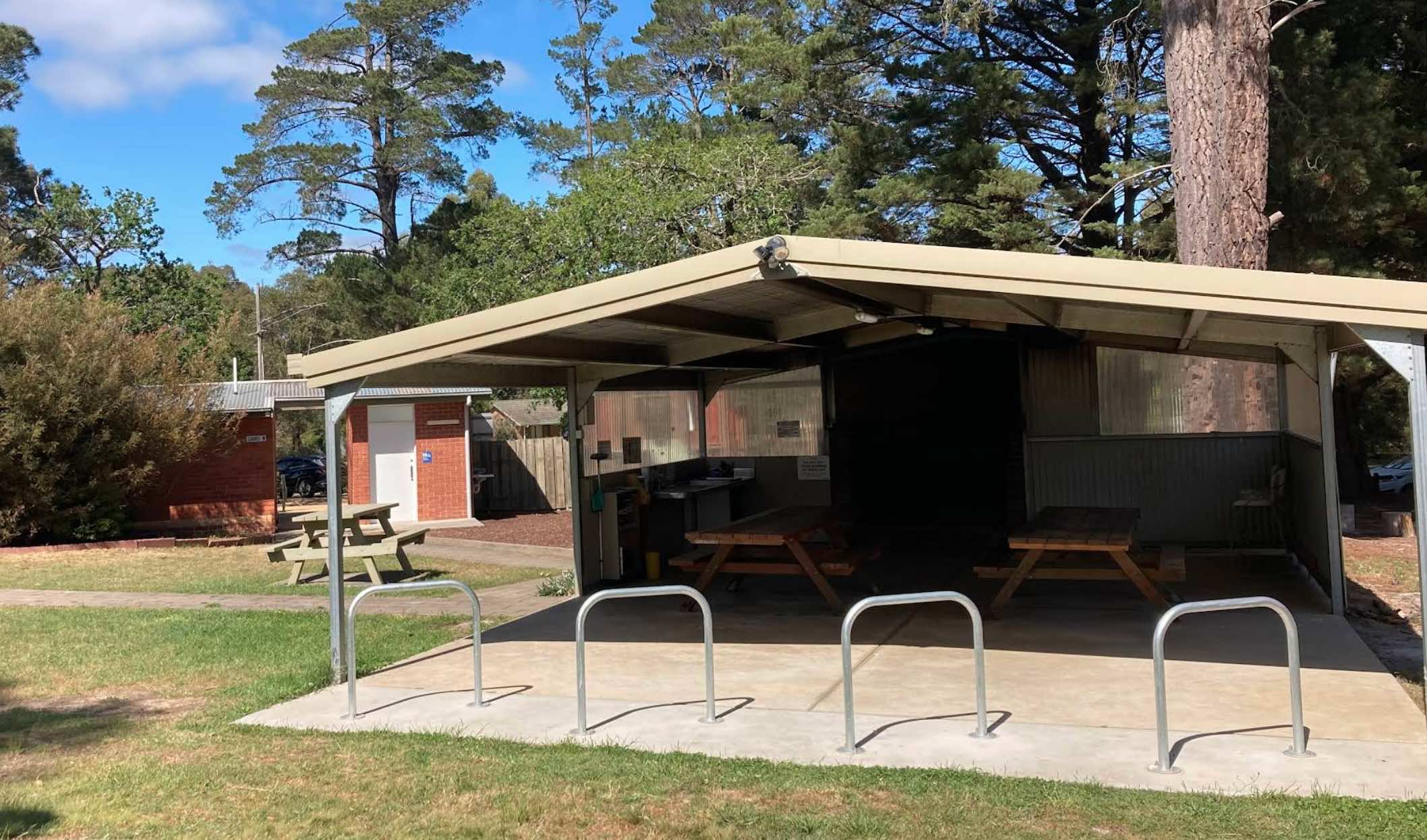
35 Garden Street, Smythesdale, 3351, Victoria
0 reviews
Smythesdale Public Gardens, located in Smythesdale, Victoria, is a public reserve that offers camping facilities. It is known for being a community-managed space that provides a convenient and often free or low-cost stop for travellers, particularly those ...
Read More...
Facilities Available, , , , , , , ,
, , , , , , , ,
Camping Info, , ,
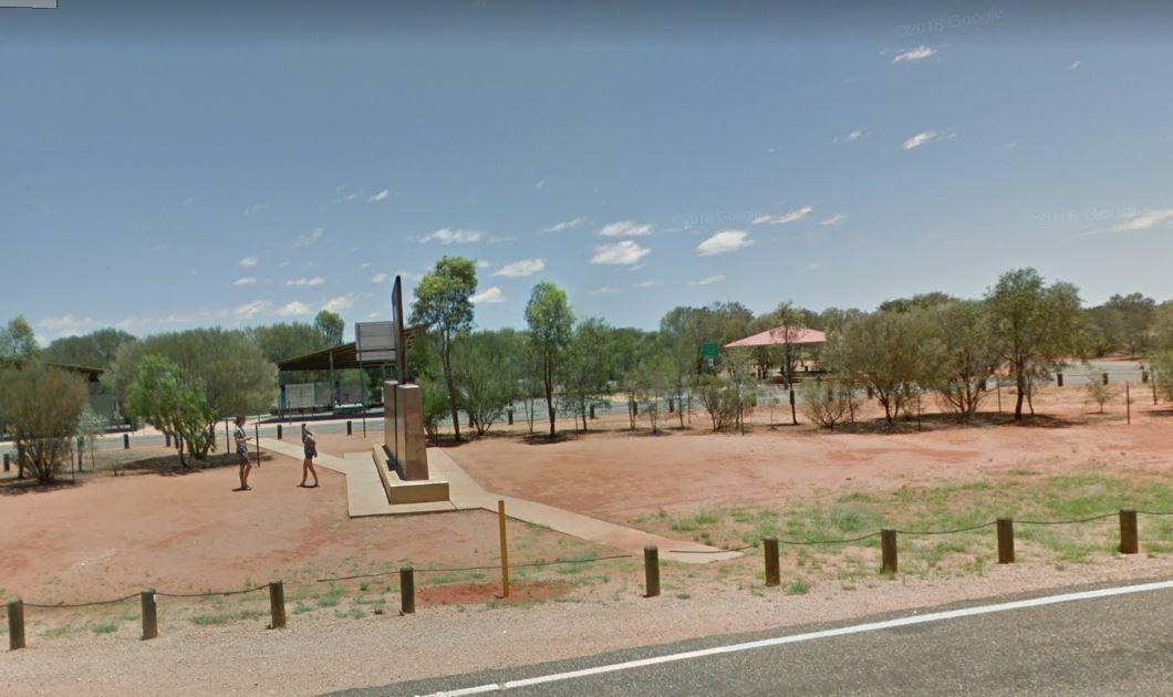
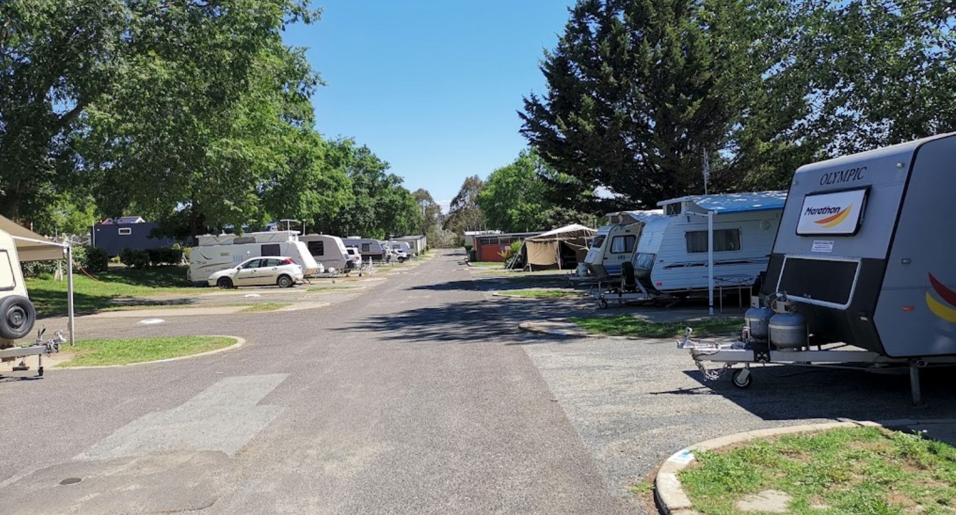
0 reviews
South Canberra Caravan Park (Southside Village) - Symonston ACT
South Canberra Caravan Park, operating under the name Southside Village, is a long-standing accommodation provider located in the semi-rural suburb of Symonston. Situated at 250 Canber ...
Read More...
Category
Caravan Parks
Facilities Available, , , , , , , , ,
, , , , , , , , ,
Camping Info,
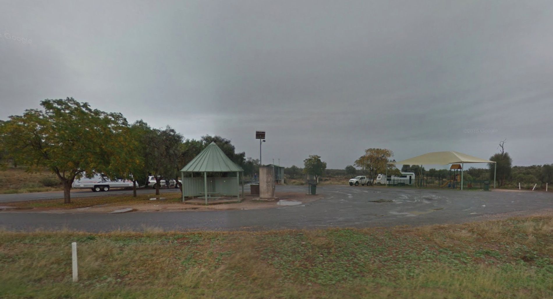
Barrier Highway, Little Topar, 2880, New South Wales
0 reviews
At the Spring Hill Rest Area you will find an undercover children’s playground, Undercover picnic tables, public toilet, tank water and rubbish bins. There is a normally dry creek-bed to explore, overall it's a nice spot to take a rest and refresh yoursel ...
Read More...
Category
Rest Areas
Facilities Available, , , , , ,
, , , , , ,
Camping Info
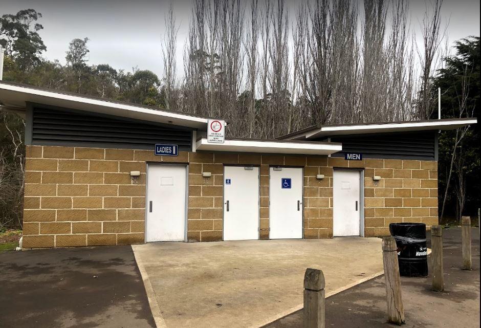
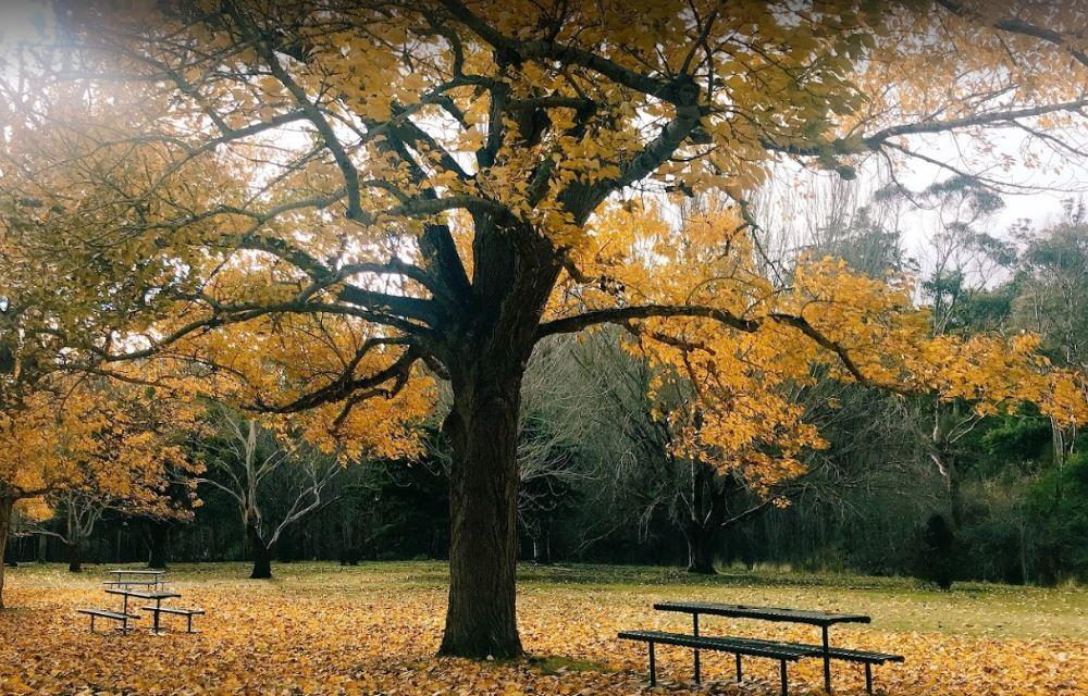
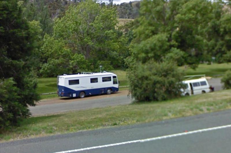
0 reviews
St Peters Pass Rest Area is a nice secluded rest stop, just north of Oatlands. Pass Creek runs behind the rest area, this is fairly level ground with an old stone shelter and picnic tables, public toilets and rubbish bins.
Category
Rest Areas
Facilities Available, , , , ,
, , , , ,
Camping Info
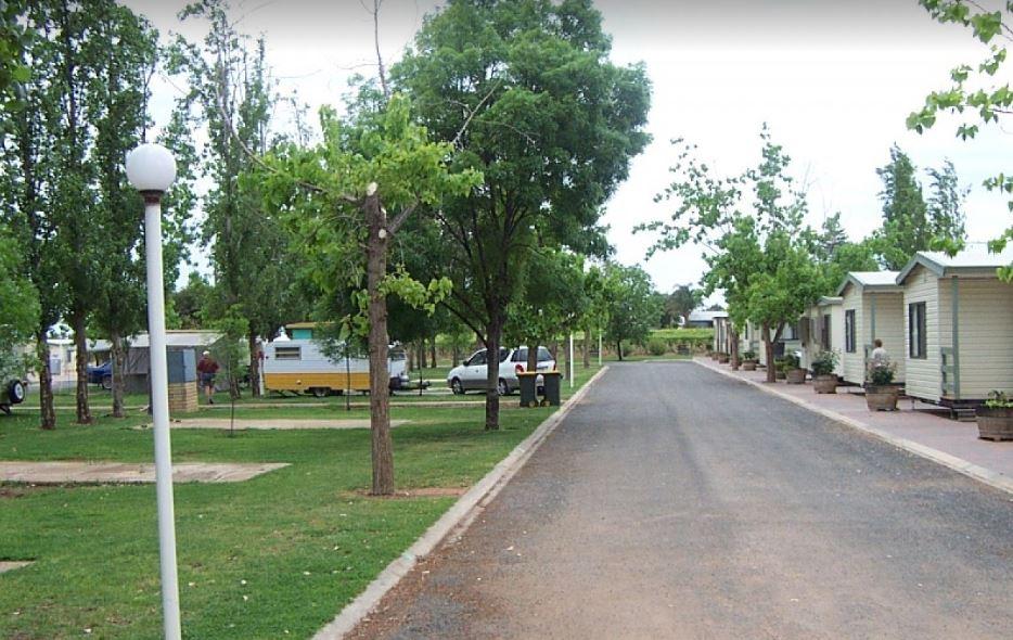
Benetook Avenue, Mildura East, 3500, Victoria
0 reviews
Entrance to the Sun City Caravan Park Sun City Caravan Park location map
Category
Caravan Parks List
Facilities Available, , , , , , , , , ,
, , , , , , , , , ,
Camping Info
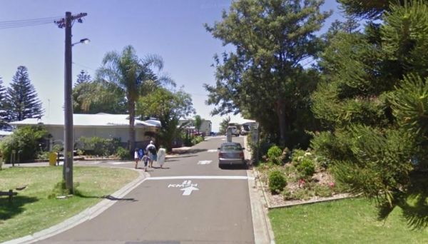
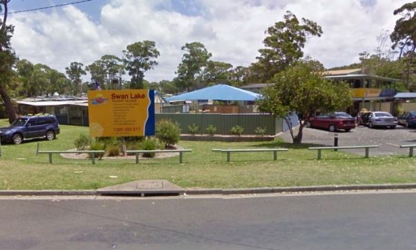
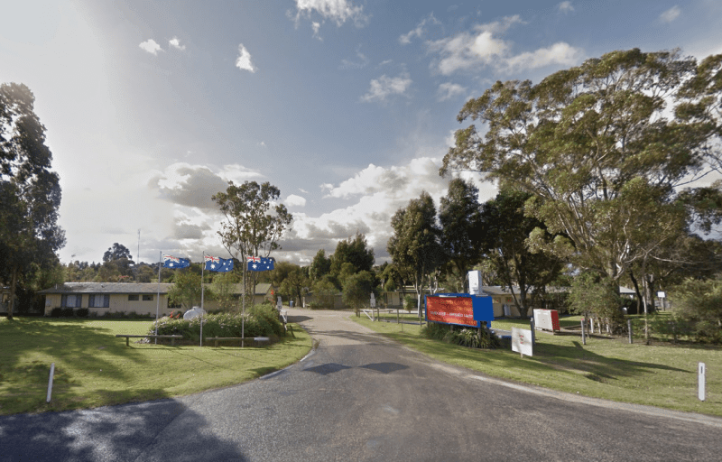
2143 Princes Highway, Swan Reach, 3903, Victoria
0 reviews
Entrance to the Swan Reach Gardens Tourist Park Swan Reach Gardens Tourist Park location map
Category
Caravan Parks List
Facilities Available, , , , , , , , , , ,
, , , , , , , , , , ,
Camping Info
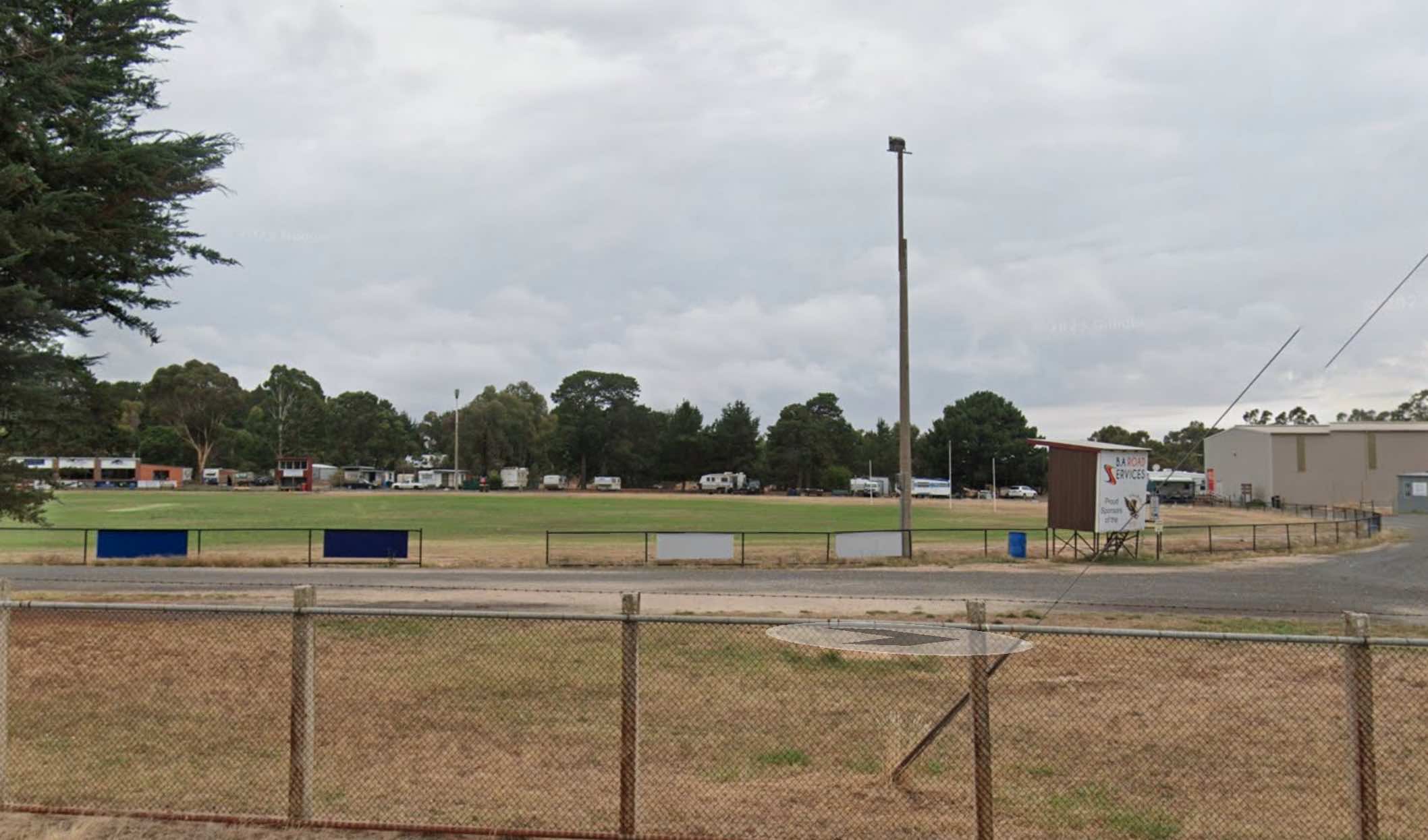
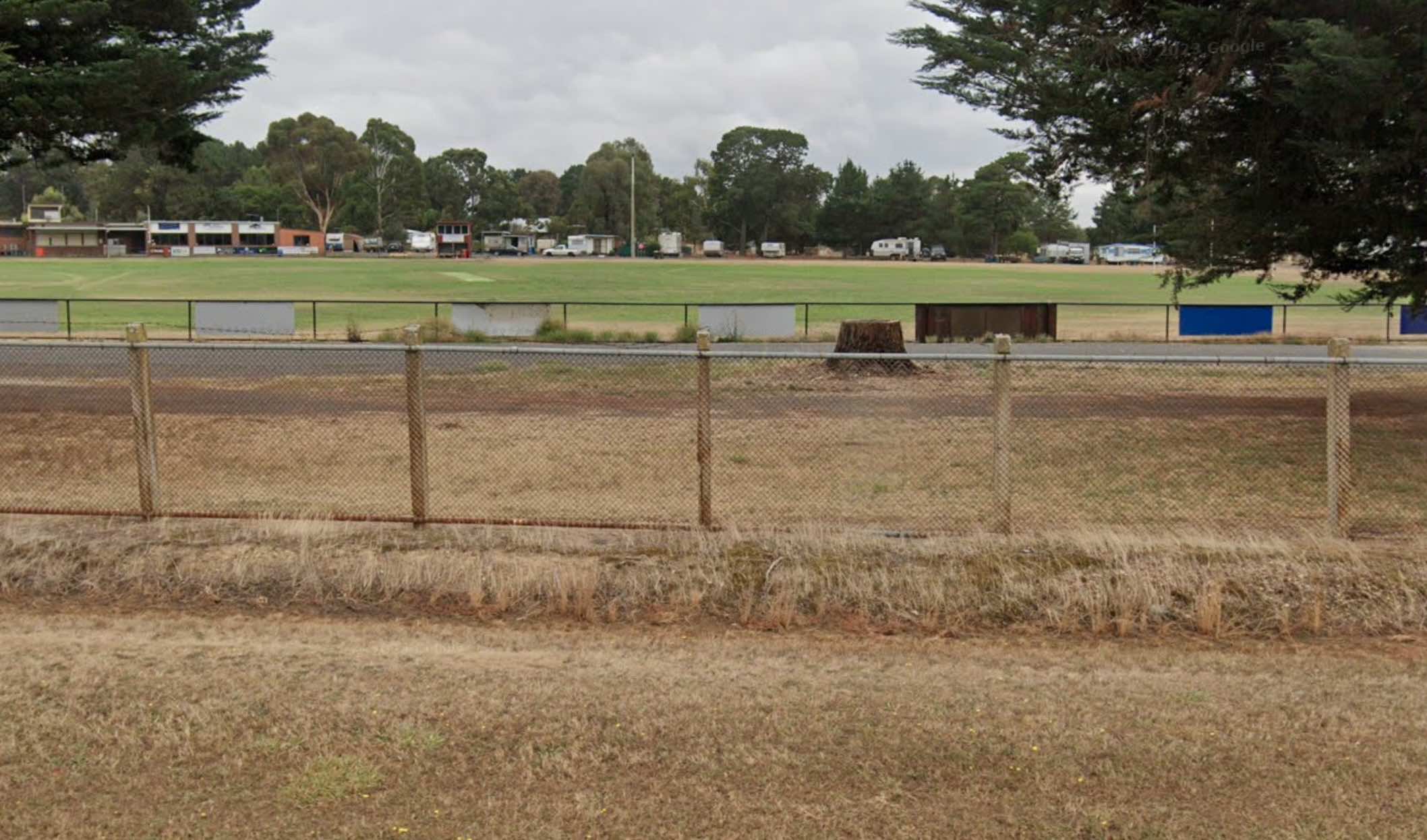
0 reviews
Talbot Recreation Reserve offers a rural camping experience in the historic goldfields region of Victoria. It serves as a convenient base for visitors wishing to explore the local area and its history.
Facilities: The reserve provides a range of faciliti ...
Read More...
Facilities Available, , , , , , , , ,
, , , , , , , , ,
Camping Info, ,
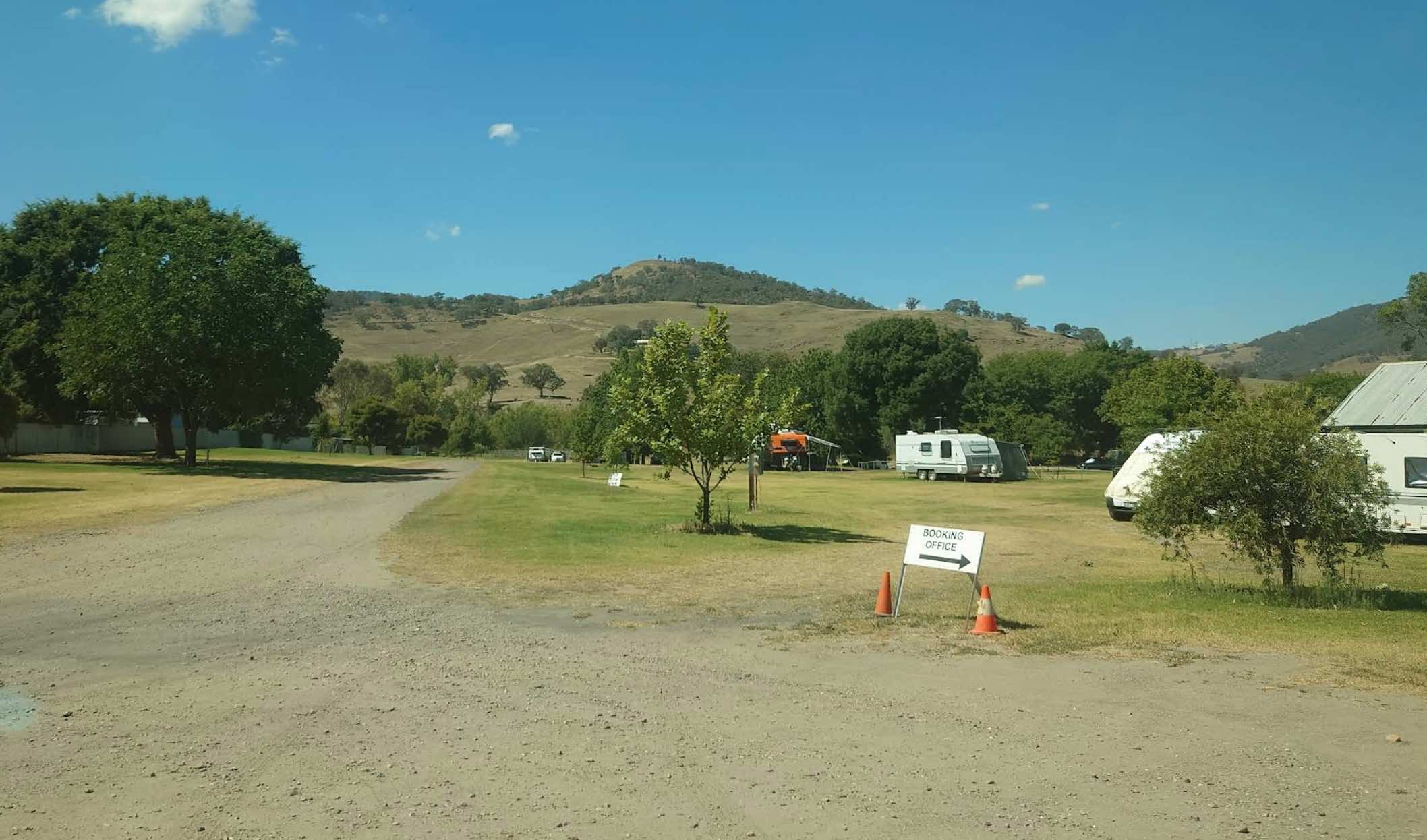
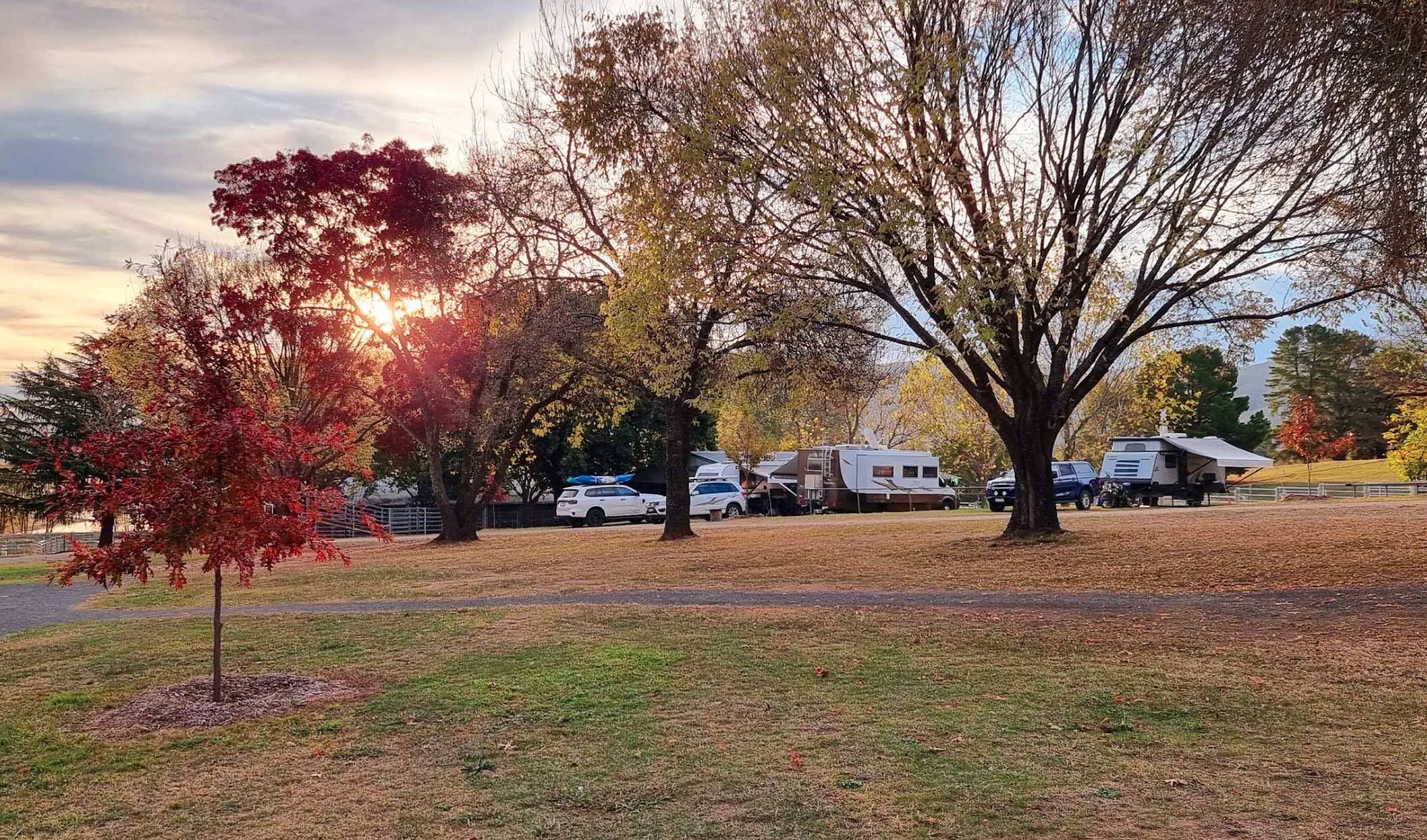
10 Coorilla Street, Tallangatta, 3700, Victoria
0 reviews
The Tallangatta Showground, located in Tallangatta, Victoria, serves as an expansive rural camping area offering a tranquil retreat for visitors. It is situated within easy walking distance of the Tallangatta town centre, providing convenient access to lo ...
Read More...
Facilities Available, , , , , ,
, , , , , ,
Camping Info, , ,
0 reviews
The Tarcutta Rest Area has some shade and 2 picnic tables, but no toilets on both Northbound and Southbound side. There is enough room for large rigs to maneuver, and is located near the junction of the Keajura and Kilgowla Creek, so yabbies might be avai ...
Read More...
Category
Rest Areas
Facilities Available,
,
Camping Info
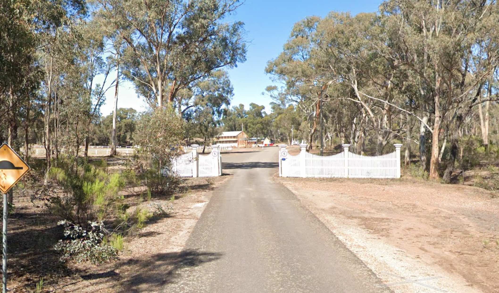
Wayman Street, Tarnagulla, 3551, Victoria
0 reviews
Tarnagulla Recreation Reserve offers a tranquil camping experience in the heart of Victoria's historic goldfields. Please note that powered sites are not available at this reserve; camping is unpowered only.
Facilities:
The reserve provides essential am ...
Read More...
Facilities Available, , , , , , ,
, , , , , , ,
Camping Info, ,
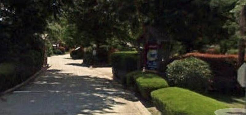
0 reviews
Tasman Holiday Parks - South Bright
Tasman Holiday Parks - South Bright offers a fantastic holiday experience in the vibrant resort town of Bright, nestled in Victoria's glorious Alpine High Country. This park provides a comfortable and convenient base, ...
Read More...
Category
Caravan Parks List
Facilities Available, , , , , , , , , , , , , , , , , ,
, , , , , , , , , , , , , , , , , ,
Camping Info
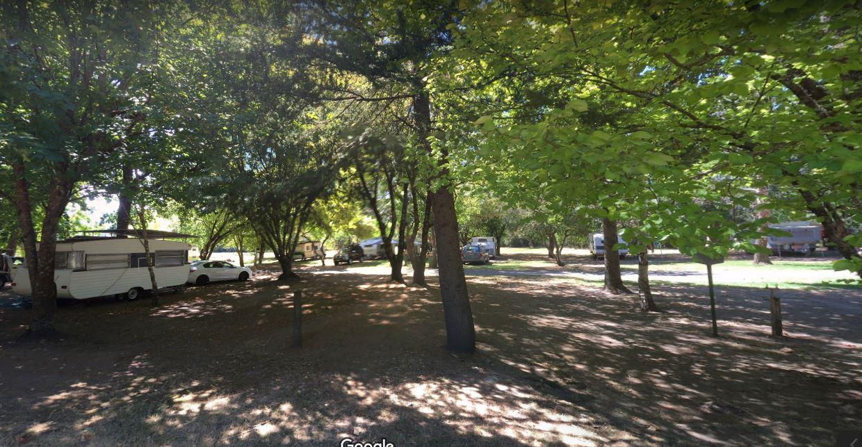
0 reviews
Tawonga Caravan Park location map
Category
Caravan Parks List
Facilities Available, , , , , , , , , ,
, , , , , , , , , ,
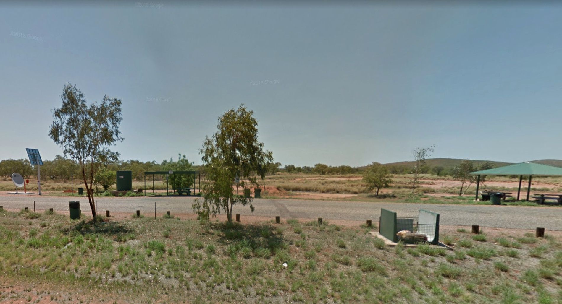
0 reviews
Taylor Creek Rest Area has a mobile-phone signal enhancer that enable your phone to access the network. Plenty of room to park with undercover picnic tables, wood fired bbqs, rubbish bins, tank water and public toilet making this a well equipped rest spot ...
Read More...
Category
Rest Areas
Facilities Available, , , , ,
, , , , ,
Camping Info
0 reviews
The Taylor Park Rest Area is a nice free overnighter with toilets and a pump out station for RV's. This spot is directly opposite the Commercial Hotel, drop in for a bite to eat while your stopping at the rest area.
Category
Rest Areas
Facilities Available, , , , , ,
, , , , , ,
Camping Info
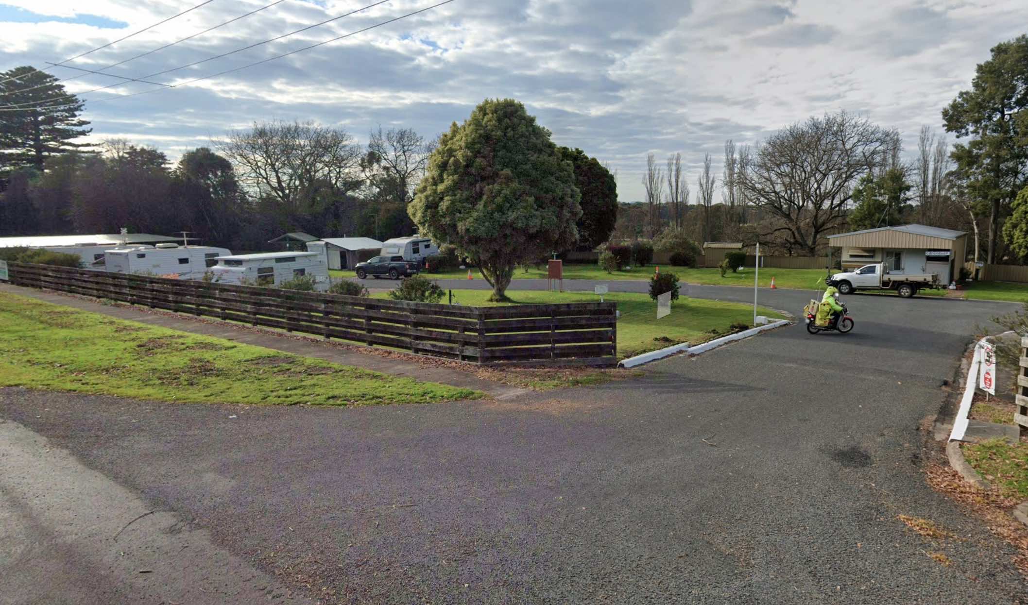
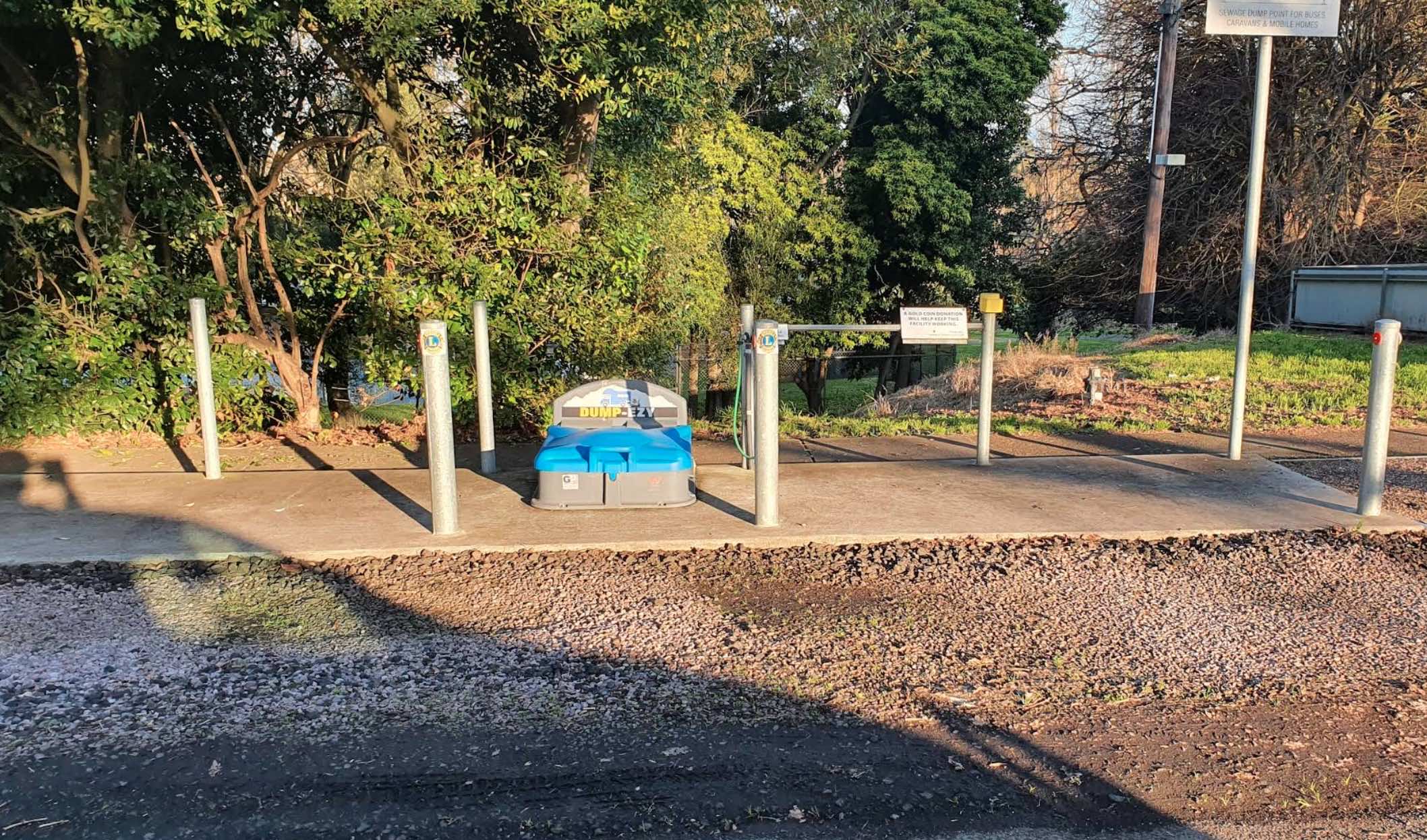
School Road, Terang VIC 3264, 3264, Victoria
0 reviews
Located in the charming town of Terang in regional Victoria, the Terang Community Caravan Park offers a convenient and relaxed base for travellers exploring the area, particularly the beautiful Western District and the nearby volcanic Lakes and Craters re ...
Read More...
Facilities Available, , , , , ,
, , , , , ,
Camping Info,
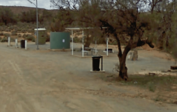
Barrier Highway, Broken Hill, 2880, New South Wales
0 reviews
At the Thackaringa Hills Rest Area you can pull off the Barrier Highway along a strip of gravell that has a few low trees for shade, a public toilet, undercover picnic table, rubbish bins and tank water. There is not a lot to do here, apart from sitting a ...
Read More...
Category
Rest Areas
Facilities Available, , , ,
, , , ,
Camping Info
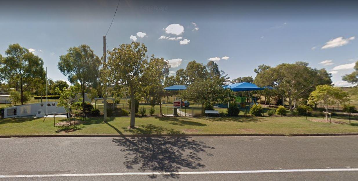
0 reviews
Take a short toilet break at the Thangool Memorial Park Rest Area, check out the military hardware on-site, then pop down the road to the pup for a cold drink, before heading off again on your adventure.
Category
Rest Areas
Facilities Available, , , , , ,
, , , , , ,
Camping Info
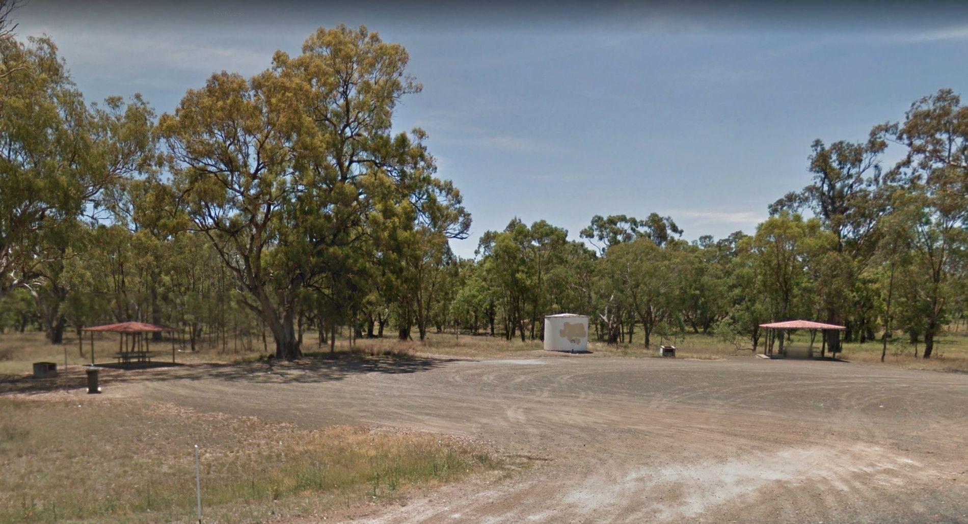
0 reviews
The Ponds Camp Rest Area has the Andersons Creek adjacent this spot, but only has a small amount of water in it. There is tank water, a few trees for shade, undercover picnic tables, wood fired bbqs, rubbish bins and plenty of room to park your caravan
Category
Rest Areas
Facilities Available,
,
Camping Info
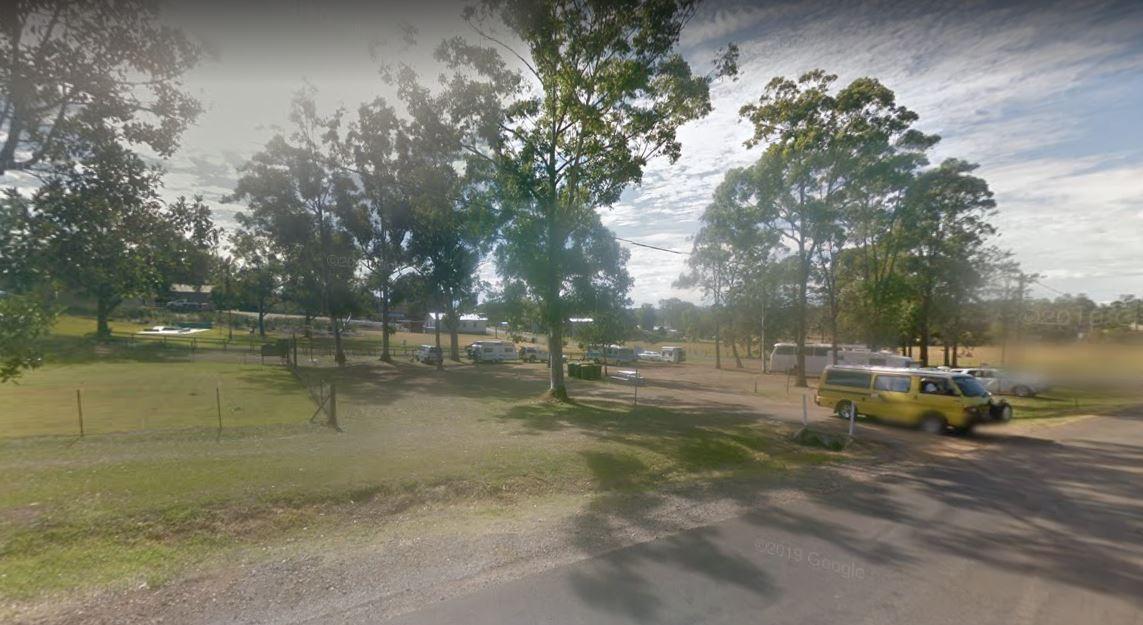
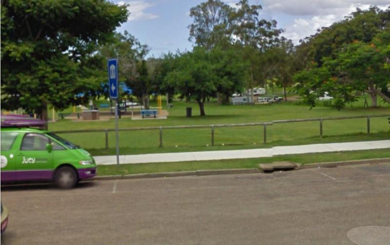
0 reviews
The Tiaro Memorial Park Free Camping Area is a great place to stop grab a meal and stock up on supplies, it also has Hot Showers in the amenities block. The Park has a 48 hour time limit on camping.
Category
Free Camping
Facilities Available, , , ,
, , , ,
Camping Info, ,
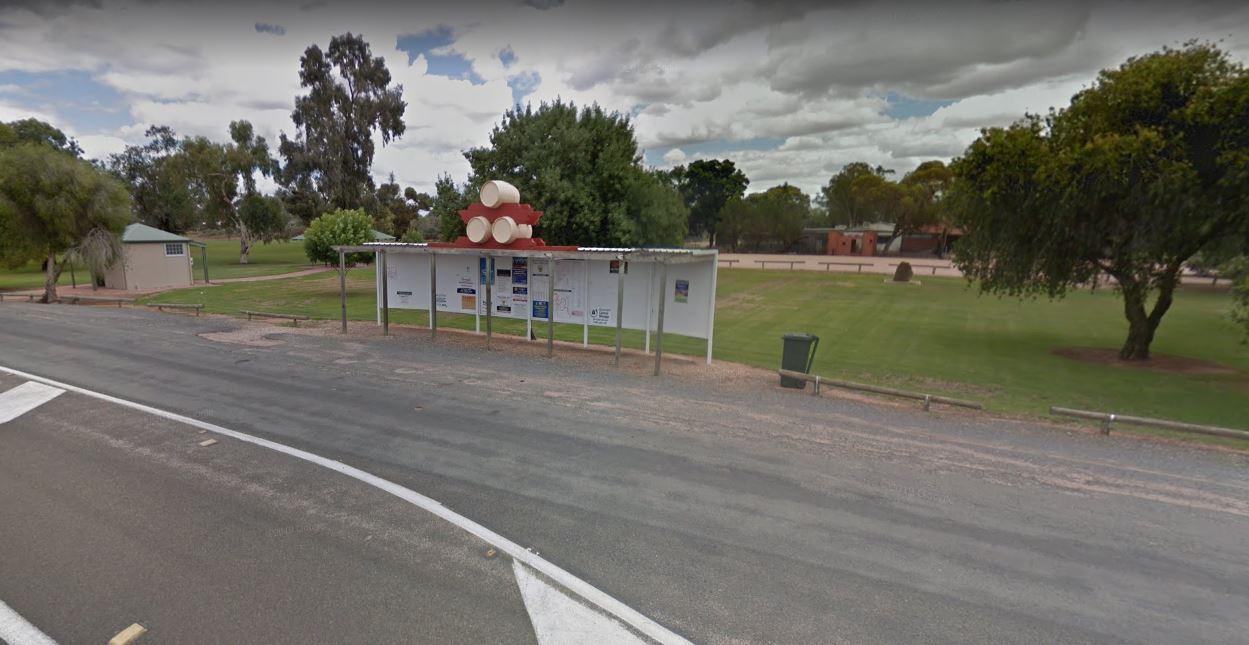
0 reviews
There is also off-road parking on the other side of the TM Price Rotary Park Rest Area for motorhomes, with a 24 Hour Limit and No Caravans permitted.
Category
Rest Areas
Facilities Available, , , ,
, , , ,
Camping Info
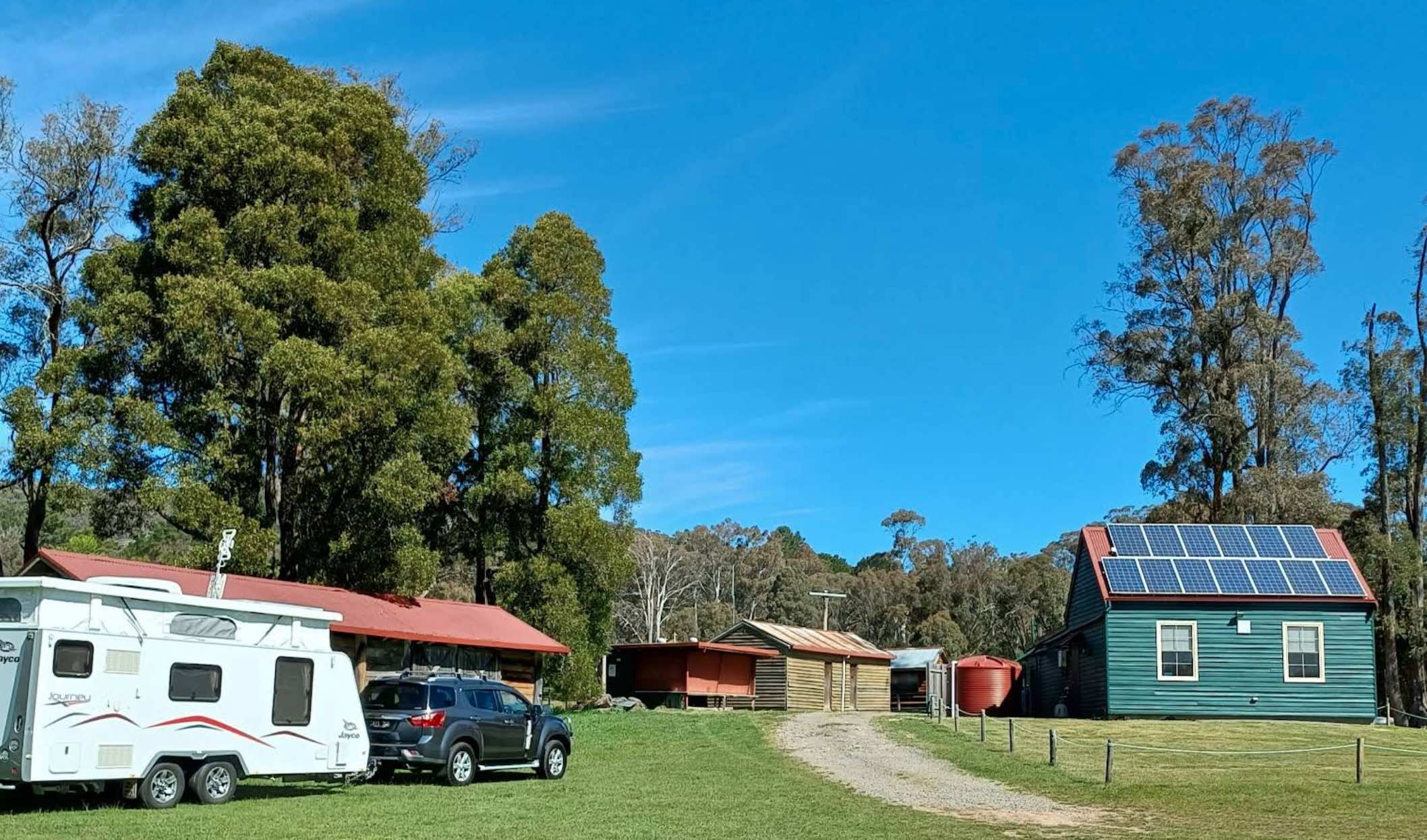
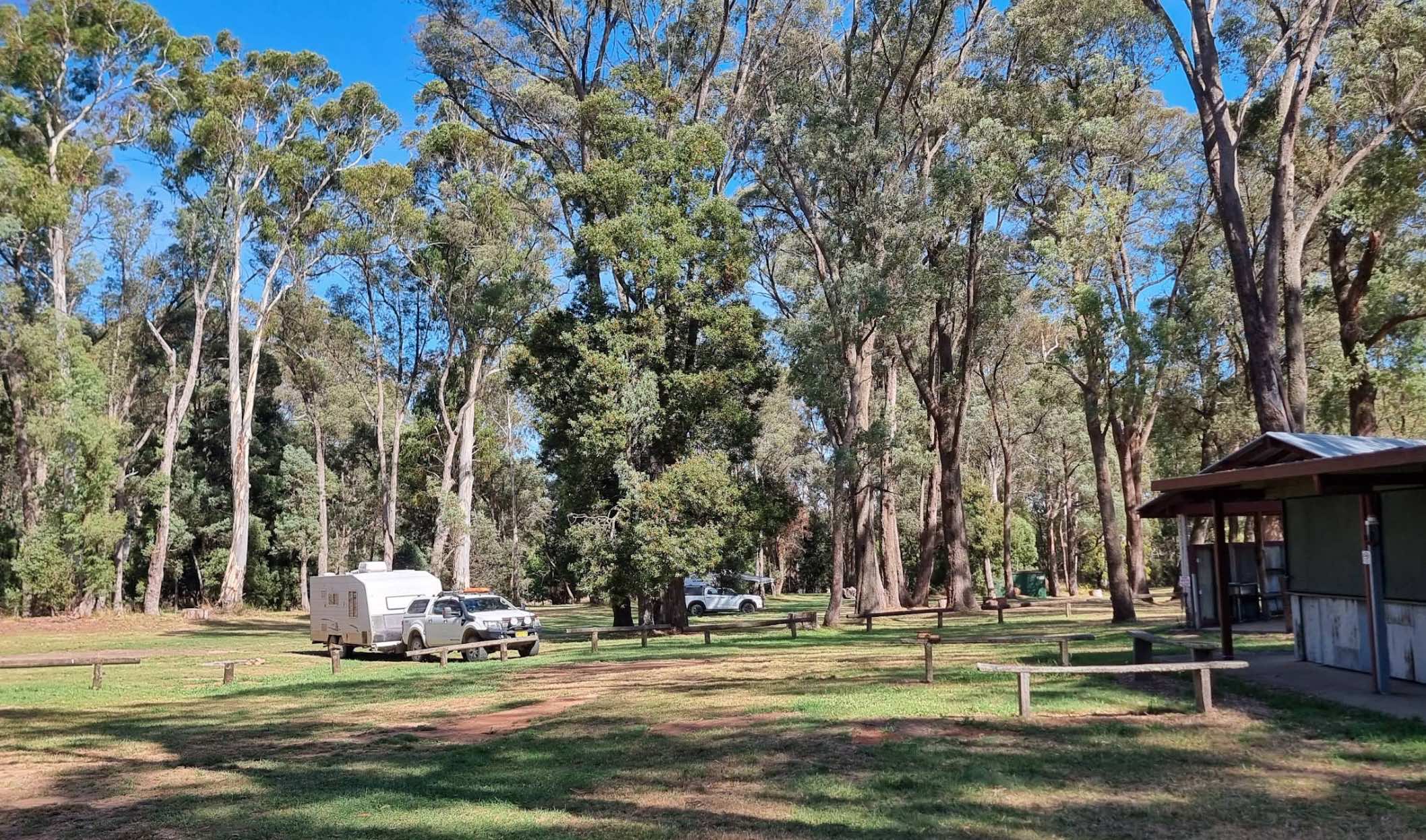
0 reviews
Tolmie Recreation Reserve: Your Guide to Camping and Exploring
Tolmie Recreation Reserve, nestled in the natural surrounds of Tolmie, Victoria, offers a relaxed camping experience with essential facilities and proximity to the region's attractions.
Faci ...
Read More...
Facilities Available, , , , , ,
, , , , , ,
Camping Info, ,
Newell Highway, Tooraweenah, 2831, New South Wales
0 reviews
Tooraweenah Rest Area is a strip of asphalt with public toilets, undercover picnic tables and rubbish bins with nice views of the mountains in the distance.
Category
Rest Areas
Facilities Available, , , ,
, , , ,
Camping Info
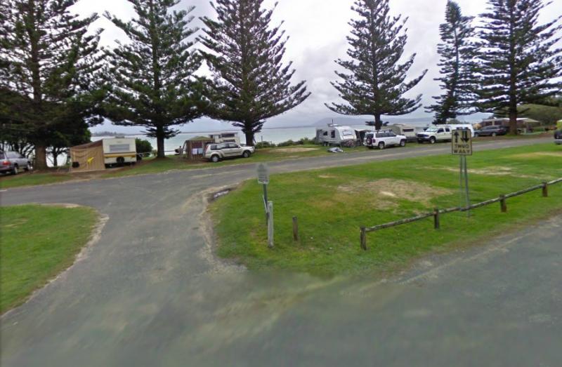
Cardwell Street, South West Rocks, New South Wales
0 reviews
At Trial Bay Gaol Campground the camp kitchen and toilets were very clean, hot showers are also available but on a timer. The unpowered sites are right on the beachfront, with the occasional kangaroo grazing nearby. There are also a few powered sites avai ...
Read More...
Category
Camping Fees Apply
Facilities Available, , , , , ,
, , , , , ,
Camping Info,
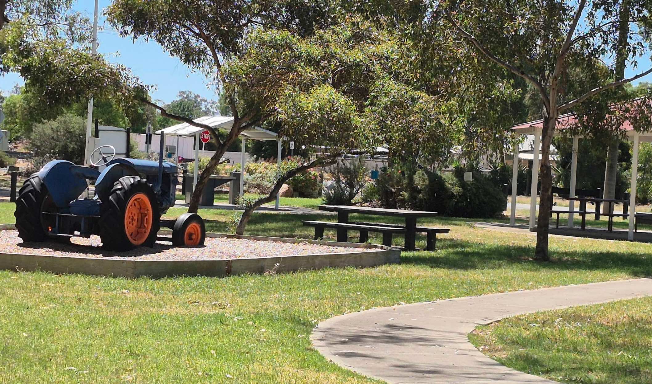
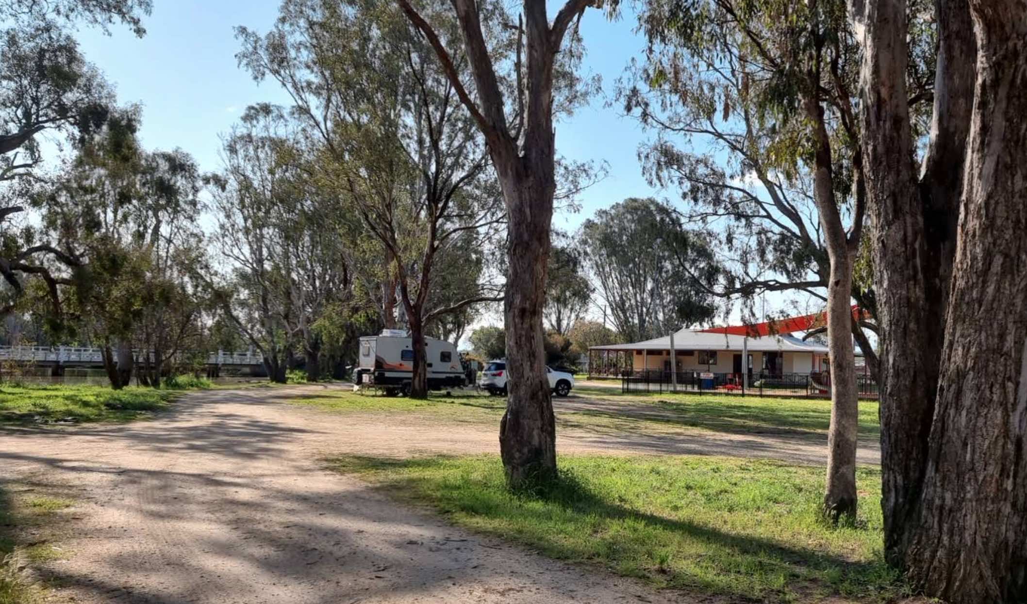
0 reviews
Tungamah Lions Park is a welcoming and free campground and RV park situated on the picturesque banks of the Boosey Creek. It is run by volunteers and prides itself on being a clean and pet-friendly location, accommodating tents, caravans, RVs, and mobile ...
Read More...
Facilities Available, , , , , , , , , ,
, , , , , , , , , ,
Camping Info, ,
0 reviews
The Underbool Recreation Reserve offers budget-friendly camping in a relaxed, rural setting. It provides both powered and unpowered sites and is a convenient stop for travellers exploring the Mallee region. The reserve is located near the town and offers ...
Read More...
Facilities Available, , , ,
, , , ,
Camping Info, ,
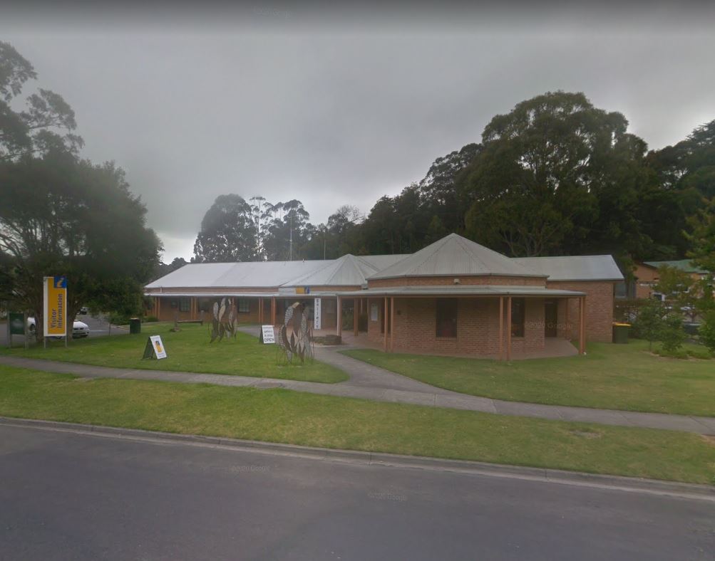
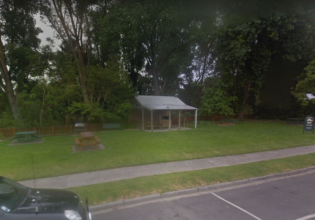
0 reviews
Visit Prom Country Information Centre, has Free Wi-Fi, very helpful and informative staff who will make sure you enjoy your visit to the area. They will also help you find the best accommodation to suit your needs. There is also plenty of room to park all ...
Read More...
Category
Visitor Information Centres
Facilities Available, , , , ,
, , , , ,
Camping Info
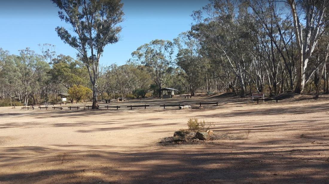
0 reviews
The Waanyarra Camping Grounds is situated in the Waanyarra/Dunolly state forest. There are long drop toilets, a shade hut with seating, and tank water but not suitable for drinking. The campground is quite large and is accessible for all vehicles includin ...
Read More...
Category
Free Camping
Facilities Available, , , ,
, , , ,
Camping Info
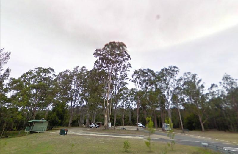
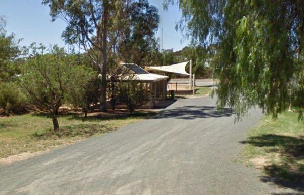
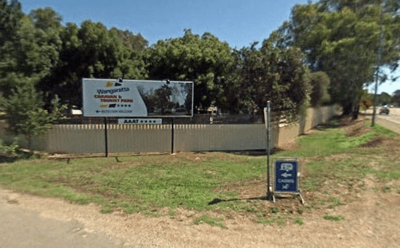
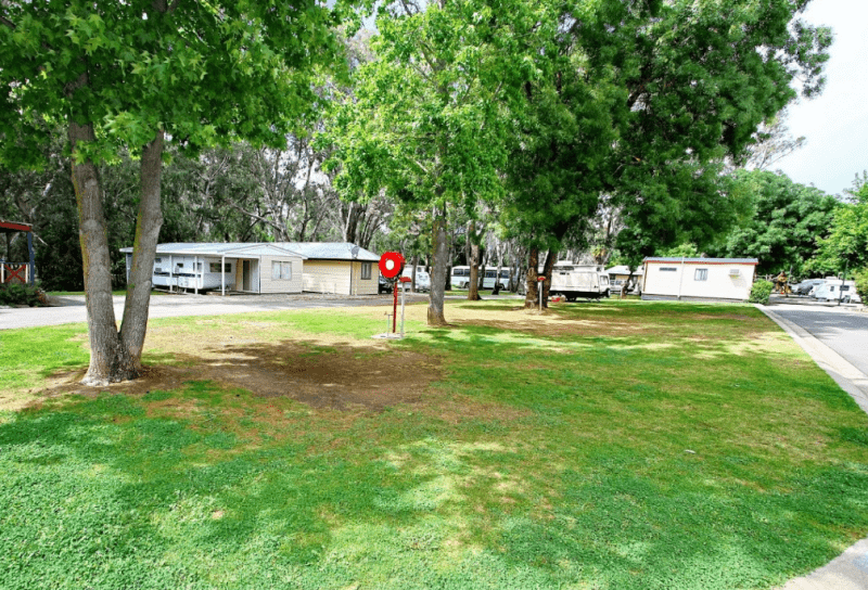
79 Parfitt Road, Wangaratta, 3677, Victoria
0 reviews
Category
Caravan Parks List
Facilities Available, , , , , , , , , , , , ,
, , , , , , , , , , , , ,
Camping Info
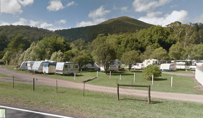
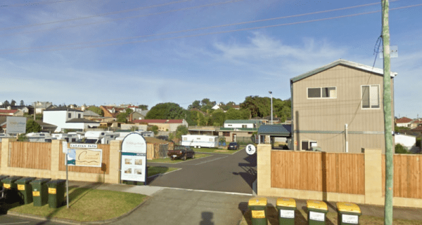
81 Henna Street, Warrnambool, 3280, Victoria
0 reviews
Category
Caravan Parks List
Facilities Available, , , , , , ,
, , , , , , ,
Camping Info
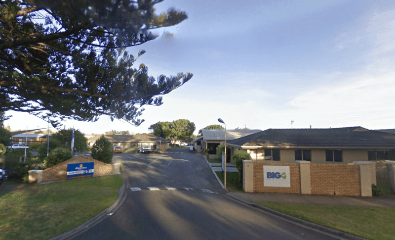
25 Pertobe Road, Warrnambool, 3280, Victoria
0 reviews
Category
Caravan Parks List
Facilities Available, , , , , , , , , , ,
, , , , , , , , , , ,
Camping Info
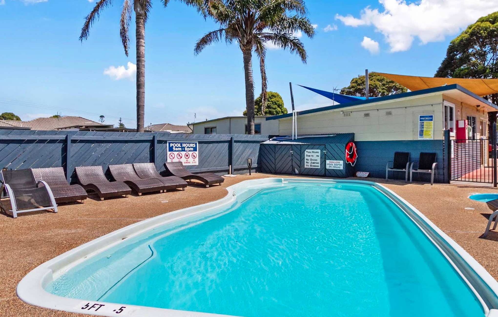
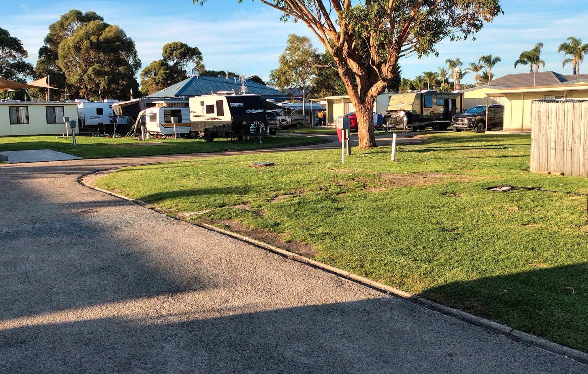
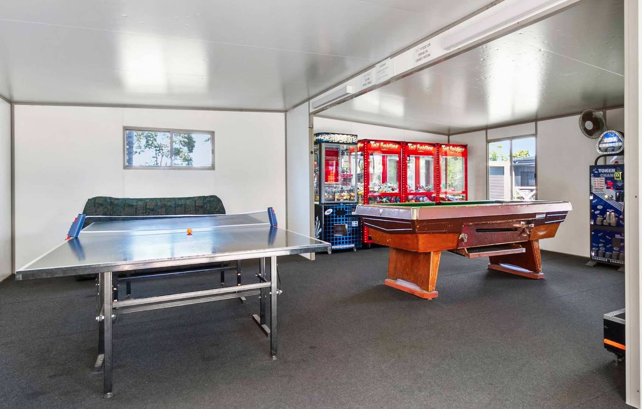
623 Esplanade, Lakes Entrance, 3909, Victoria
0 reviews
Waters Edge Holiday Park Big4
Waters Edge Holiday Park is a well-regarded holiday park located in Lakes Entrance, Victoria, offering a convenient and family-friendly accommodation option on the Gippsland Lakes. Situated directly opposite the Cunningham ...
Read More...
Category
Caravan Parks List
Facilities Available, , , , , , , , , , , , , ,
, , , , , , , , , , , , , ,
Camping Info
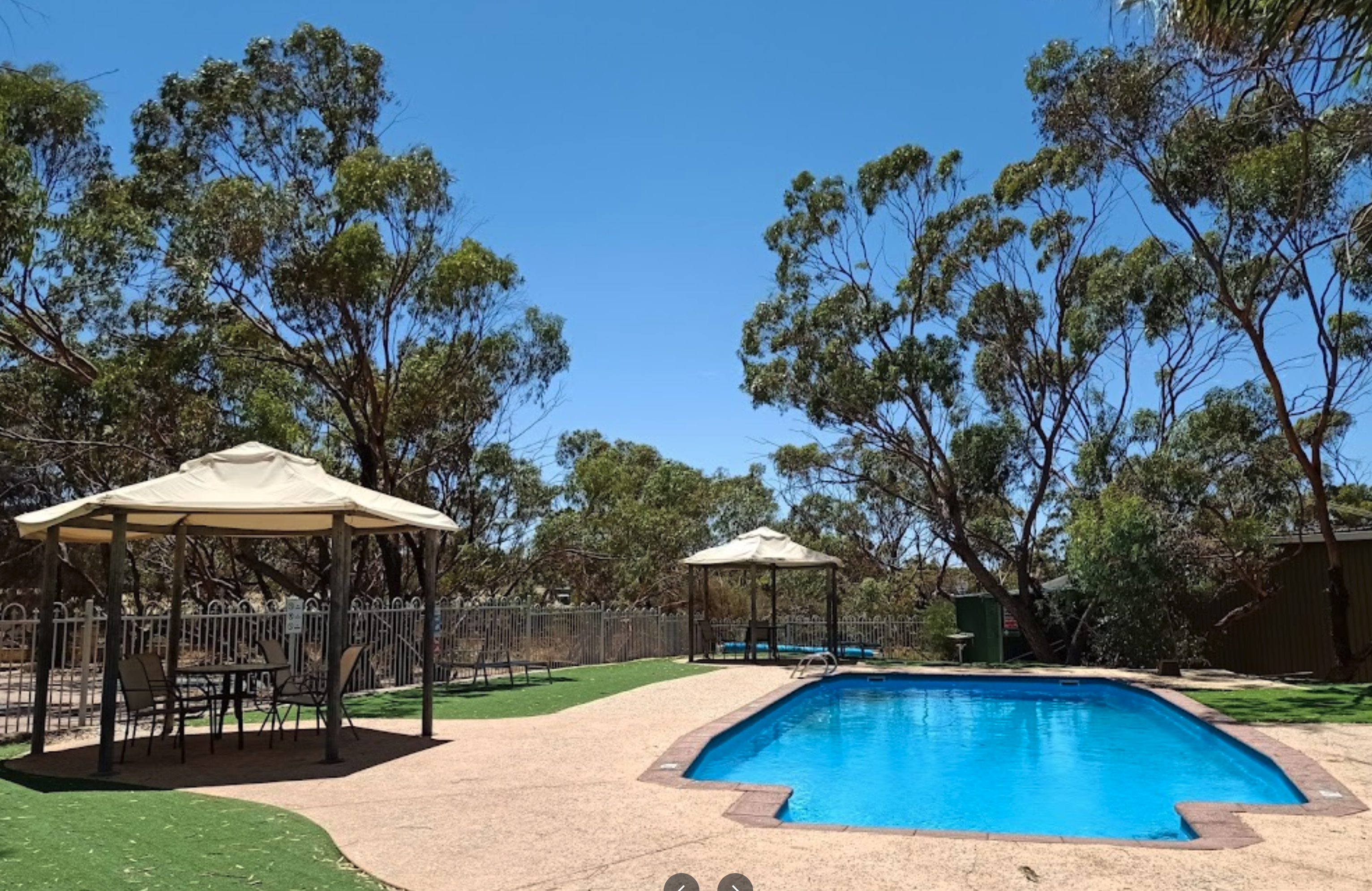
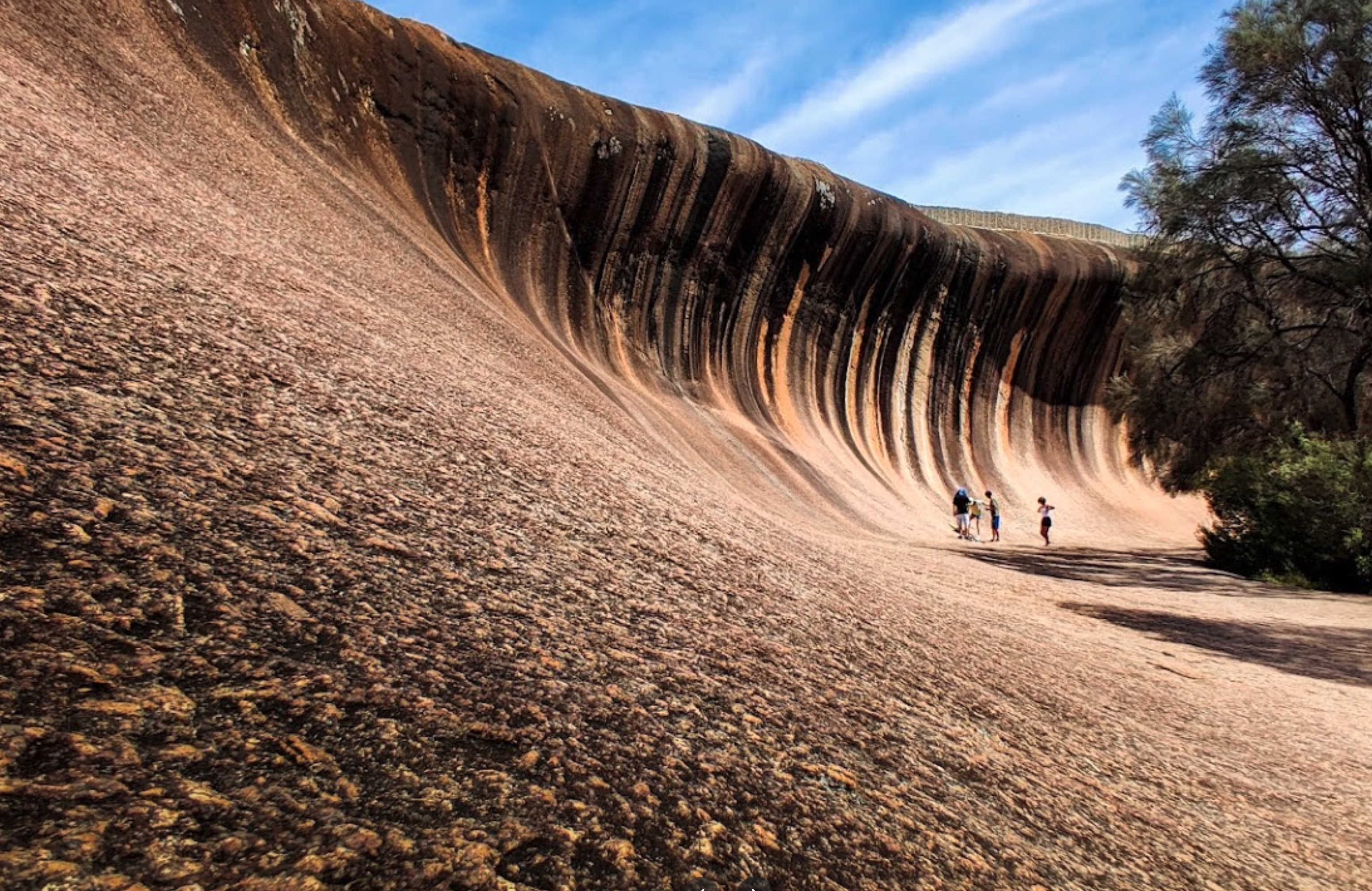
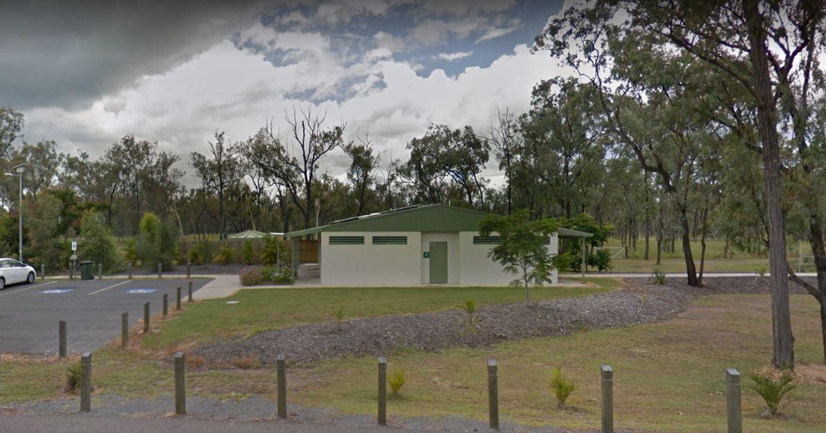
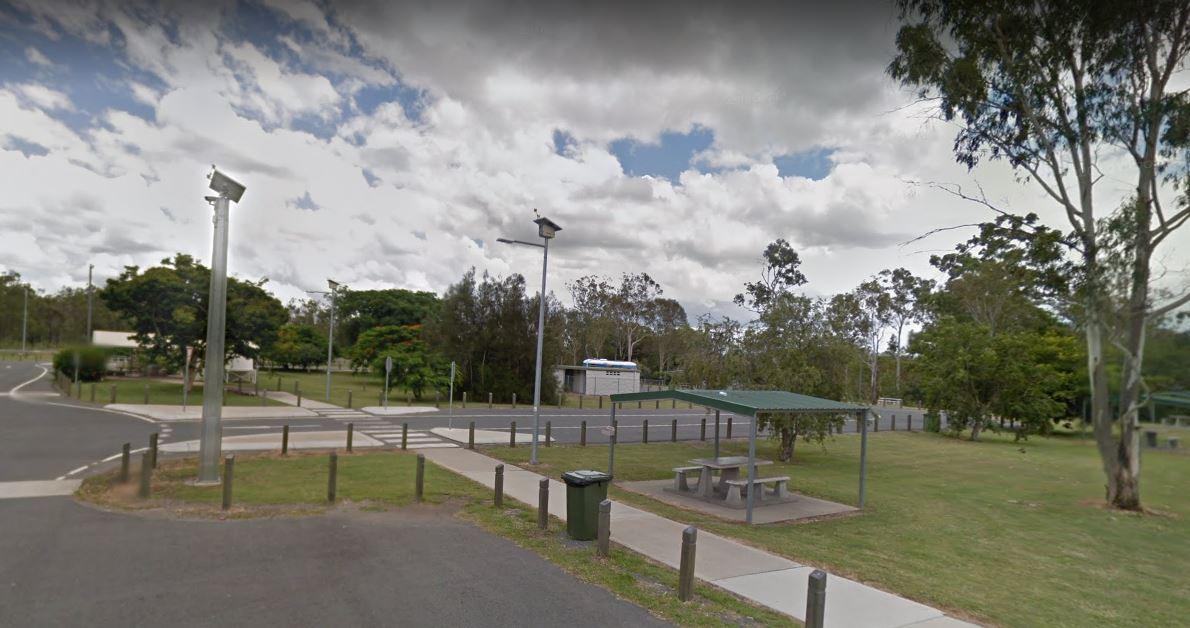
Bruce Highway, St Lawrence, 4707, Queensland
0 reviews
The Waverley Creek Rest Area has a maximum stay 20 hours allowed, Facilities include Wood fired BBQs, and tap water, as with most water your not sure about, it's advisable to purify it first by boiling before drinking. There is also a telephone box availa ...
Read More...
Category
Rest Areas
Facilities Available, , , , ,
, , , , ,
Camping Info,
39 Beach Road, Werribee South, 3030, Victoria
0 reviews
Category
Caravan Parks List
Facilities Available, , , , , , , ,
, , , , , , , ,
Camping Info
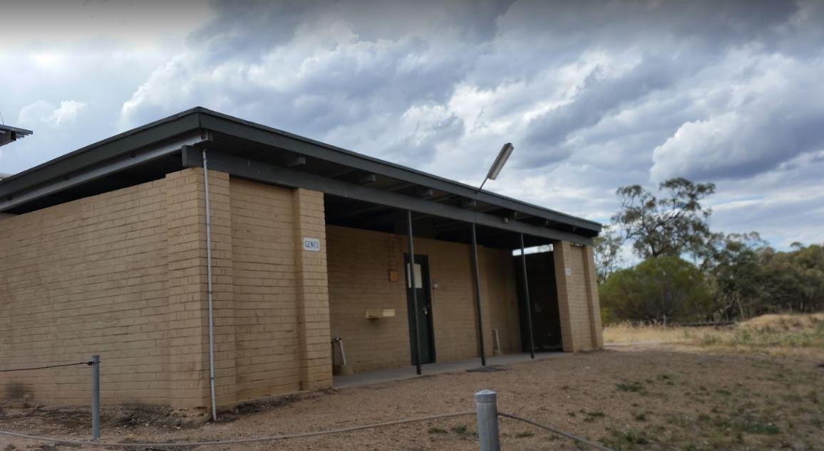
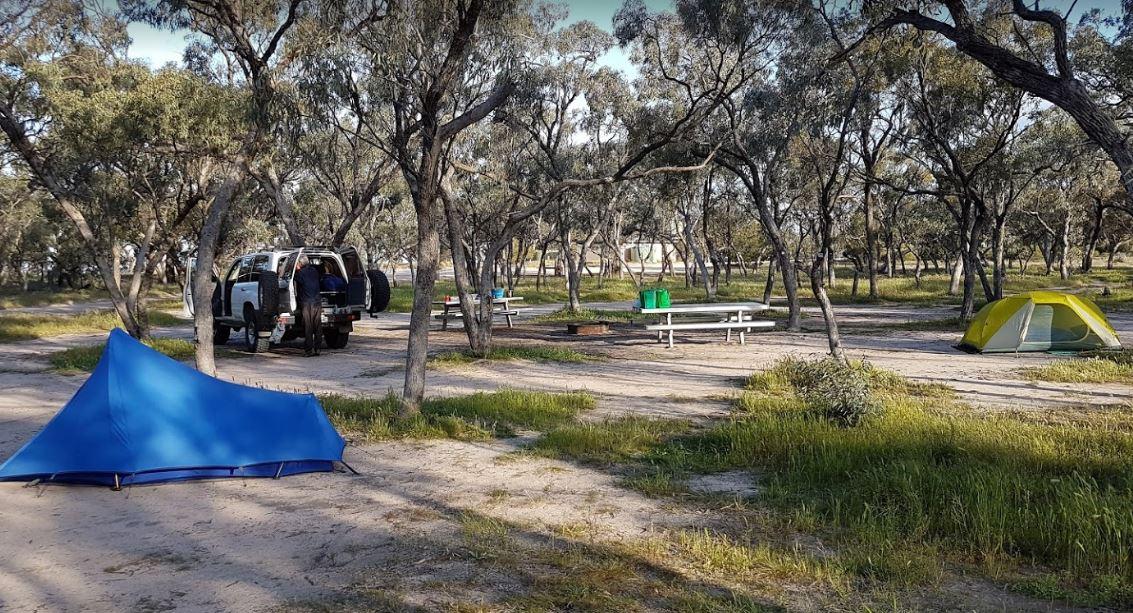
0 reviews
The Western Beach Camping Area has excellent toilets and cold showers with lighting, and tank water on tap. Fishing is not an option here as the lake has been dry for many years, and fills approx every 20 years or so.
Category
Free Camping
Facilities Available, , , , ,
, , , , ,
Camping Info
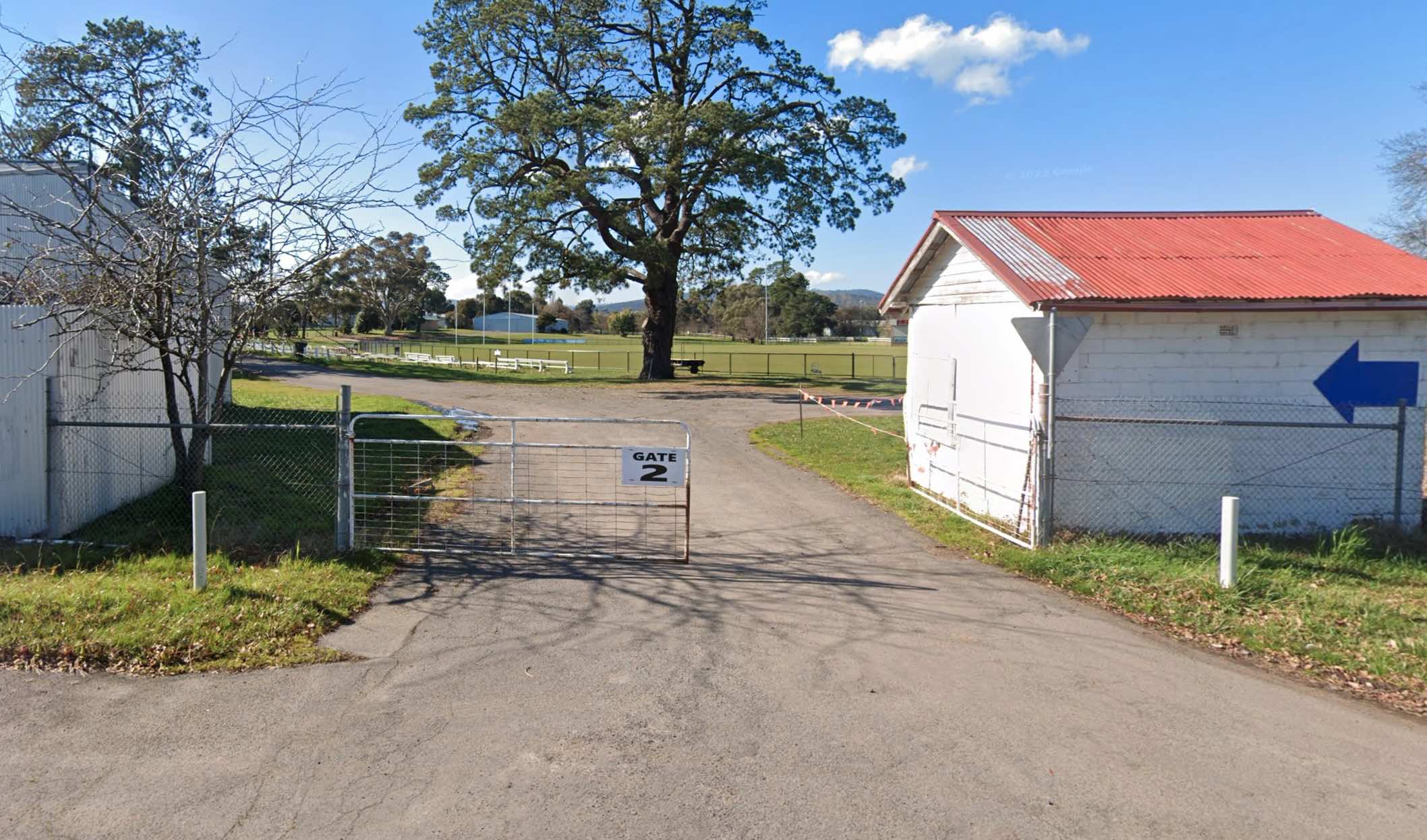

Gate 2 Mcphees Road, Whittlesea, 3757, Victoria
0 reviews
The Whittlesea Showgrounds is a large, multi-purpose facility that hosts the annual Whittlesea Show, along with various other events throughout the year. While primarily known for these events, it occasionally offers camping for specific occasions, such ...
Read More...
Facilities Available, , , , ,
, , , , ,
Camping Info
0 reviews
The Whorouly Recreation Reserve offers a tranquil and spacious setting for camping and recreation. Situated in a peaceful rural environment, it's a popular spot for those seeking a quiet getaway or a base to explore the surrounding region. The reserve fea ...
Read More...
Facilities Available, , , , , ,
, , , , , ,
Camping Info
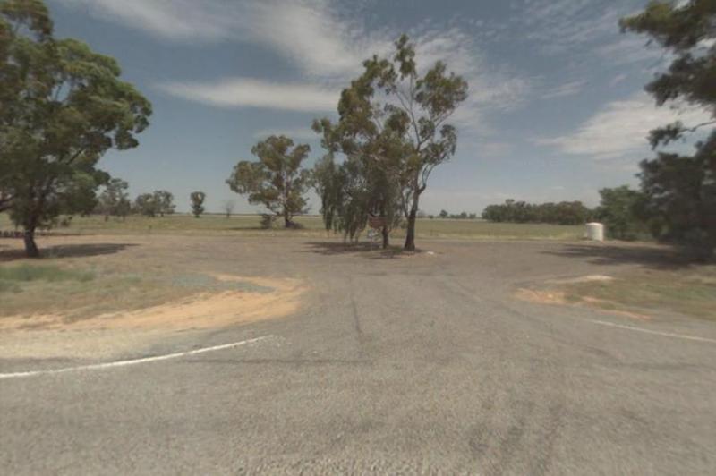
0 reviews
The Widgiwa Rest Area has a reasonably large turning area that caters for all sized rigs. There is a picnic table, some large trees, plus rubbish bins and room for bigger caravans. There is water available but treat it first if you intend to drink it.
Category
Rest Areas
Facilities Available,
,
Camping Info
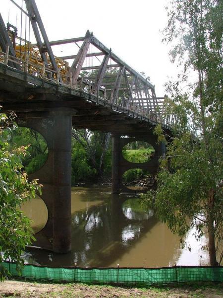
Hampden Avenue, Wagga Wagga, 2650, New South Wales
0 reviews
The Wilks Park Rest Area is a lovely camping spot within walking distance to shopping centres. There are flushing public toilets with a hair dryer, and dump point, rubbish bins, potable water, there is also a bicycle way through the park with camping with ...
Read More...
Category
Free Camping
Riddoch Highway, Willalooka, 5267, South Australia
0 reviews
Category
Rest Areas
Facilities Available, , , ,
, , , ,
Camping Info

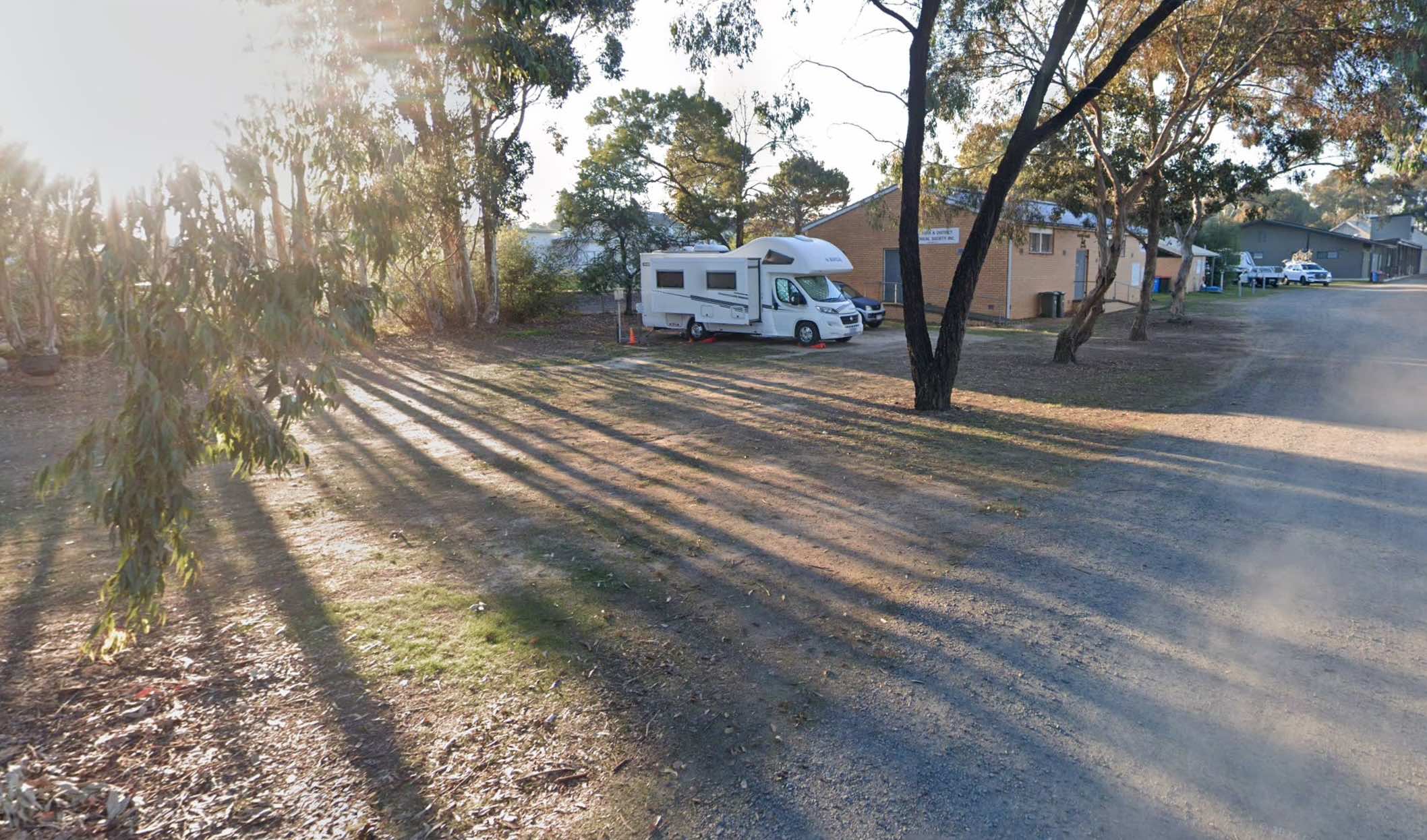
0 reviews
The Willaura Recreation Reserve offers a budget-friendly and welcoming camping experience in a bushland setting.
It provides both powered and unpowered sites suitable for tents, camper trailers, motorhomes, caravans, and big rigs. The reserve is known f ...
Read More...
Facilities Available, , , , ,
, , , , ,
Camping Info, ,
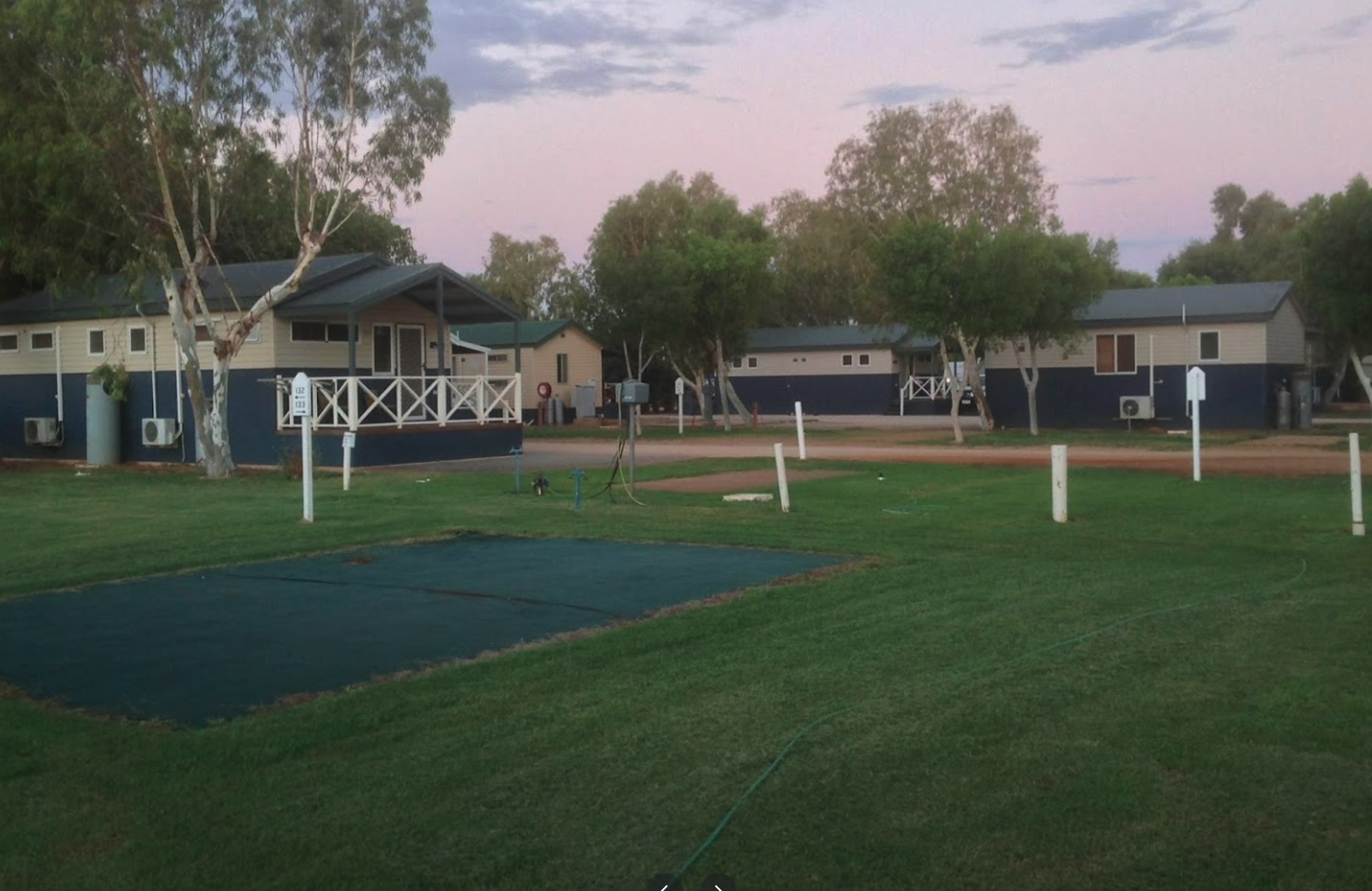
0 reviews
The Winton Motor Raceway Campground offers convenient on-site camping adjacent to the renowned Winton Motor Raceway, one of Australia's longest-standing permanent motorsport circuits. It provides an ideal base for motorsport enthusiasts attending events o ...
Read More...
Facilities Available, , , , ,
, , , , ,
Camping Info, ,
0 reviews
The Wodonga Showgrounds offers basic camping facilities suitable for caravans and motorhomes. Tents are not permitted. There are a limited number of powered sites available (only 8), so it is recommended to call ahead to confirm availability. The showgrou ...
Read More...
Facilities Available, , , ,
, , , ,
Camping Info, , ,
0 reviews
The Wollomombi Gorge National Park Camping Area is a great campground, with 10 spaces well-separated from each other suitable for cars and small caravans. Firewood is supplied for the fire pits with bbq hot plate, there is water onsite and a long drop toi ...
Read More...
Category
Free Camping
Facilities Available
Camping Info


0 reviews
Wonthaggi Park Lane Holiday Park: Your Peaceful Retreat on the Bass Coast
Wonthaggi Park Lane Holiday Park, formerly known as Coalfields Caravan Park, offers a quiet and peaceful sanctuary just outside the bustling town centre of Wonthaggi, Victoria. Sit ...
Read More...
Category
Caravan Parks List
Facilities Available, , , , , , , , , , , , , ,
, , , , , , , , , , , , , ,
Camping Info
0 reviews
The Wooli Caravan Park is a tidy little park located between the Wooli Wooli River and the open Ocean. Try and get a campsite facing the river, that way you'll get great uninterrupted sunsets.
{tab title="Local Places to Eat" class="grey"}
Harry's Chi ...
Read More...
Category
Caravan Parks
Facilities Available, , , , ,
, , , , ,
Camping Info
381 Snowy River Road, Wulgulmerang East, 3885, Victoria
0 reviews
Wulgulmerang Recreation Reserve offers both powered and unpowered sites suitable for tents, camper trailers, motorhomes, and caravans. It is a large, flat, grassy area with some trees providing shade. The reserve is looked after by the small township of W ...
Read More...
Facilities Available, , , , , , ,
, , , , , , ,
Camping Info,
Wuruma Dam Road, Wuruma Dam, 4627, Queensland
0 reviews
The Wuruma Dam Rest Area is a popular spot for us Grey Nomads, take your kayak off the roof and go for an exploratory paddle and maybe drag a fishing line behind just in case. There is a 14 Day maximum limit for all campers.
Category
Free Camping
Facilities Available, , , , ,
, , , , ,
Camping Info,
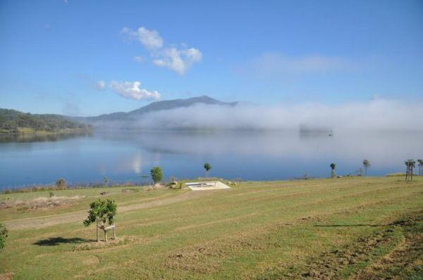
0 reviews
The Wyaralong Dam Camping Area with easy access to picnic tables, and bbqs there are two camping areas available.
The lilybrook Recreation Area and Ngumbi campsite have a public toilet, cold showers, water tanks, bbq's, undercover picnic tables and a chi ...
Read More...
Category
Camping Fees Apply
Facilities Available, , , , , , ,
, , , , , , ,
Camping Info
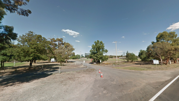
462 Broadway, Wycheproof, 3527, Victoria
0 reviews
Category
Caravan Parks List
Facilities Available, , , , , , , ,
, , , , , , , ,
Camping Info
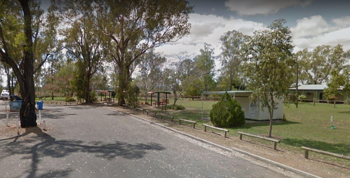
0 reviews
The Yaamba Rest Area is a bit noisy from the constant road traffic as it's just off the Bruce Highway. There is a public toilet, a bbq and undercover picnic tables, and plenty of level ground to park on.
The Royal Oak Hotel is worth a visit to get a good ...
Read More...
Category
Rest Areas
Facilities Available, , , ,
, , , ,
Camping Info
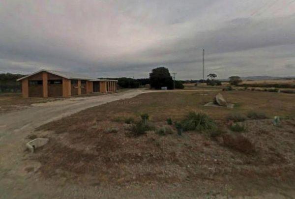
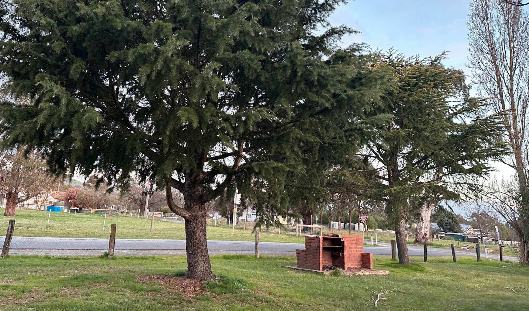
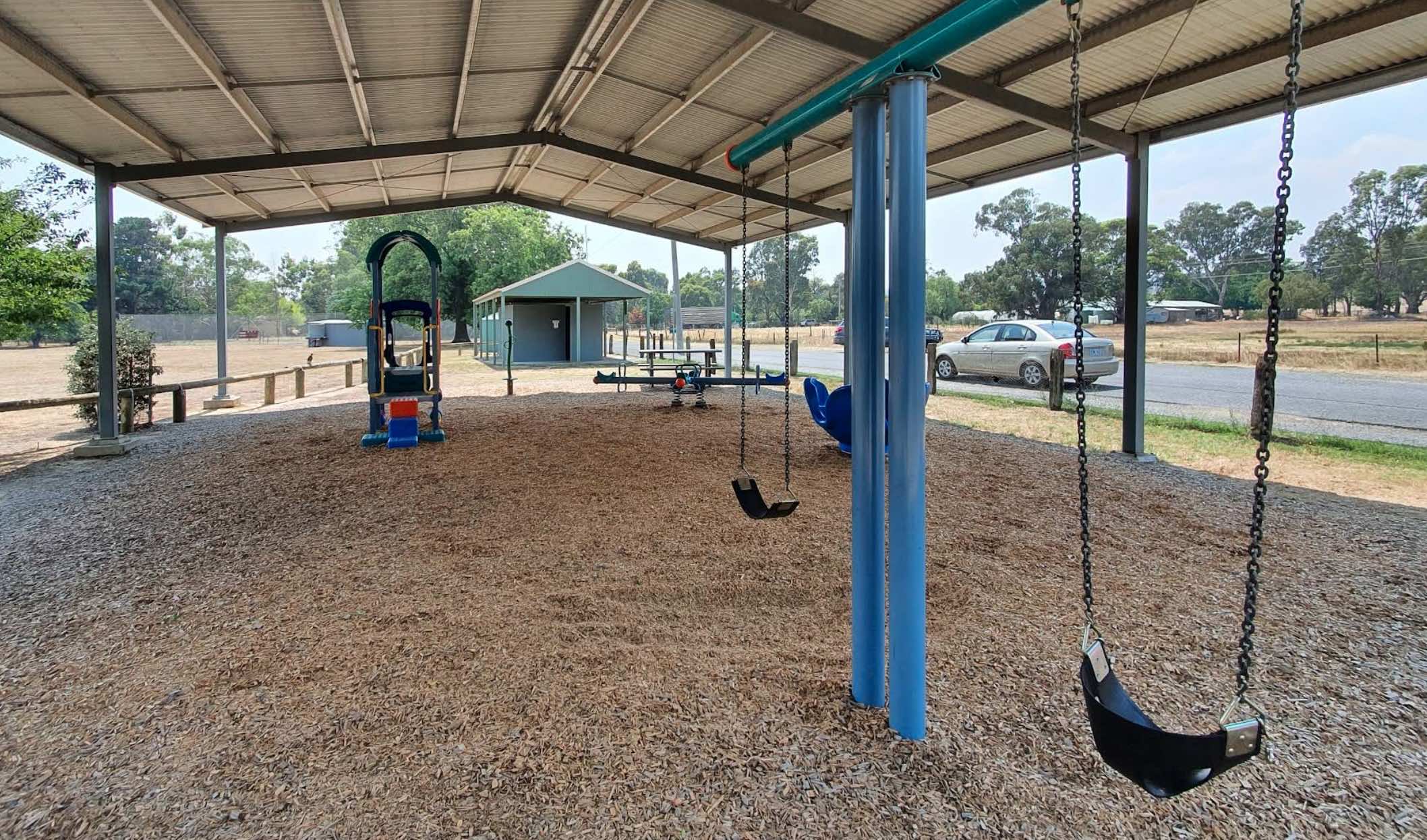
0 reviews
Yarck Recreation Reserve offers a spacious and generally flat area suitable for tents, camper trailers, motorhomes, and caravans. There are a number of powered sites available, as well as ample unpowered areas. The reserve provides basic amenities and is ...
Read More...
Facilities Available, , , ,
, , , ,
Camping Info
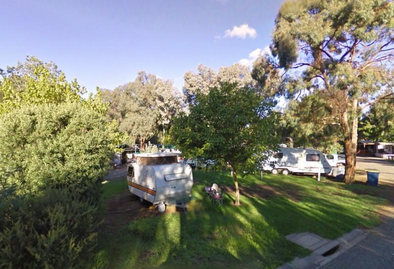
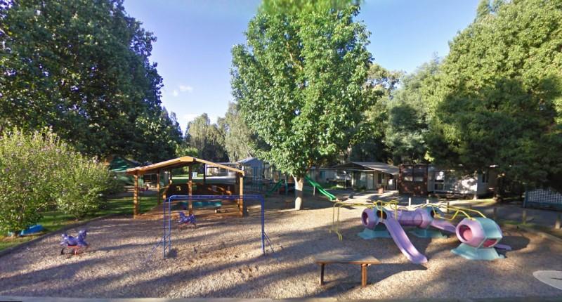
0 reviews
Category
Caravan Parks List
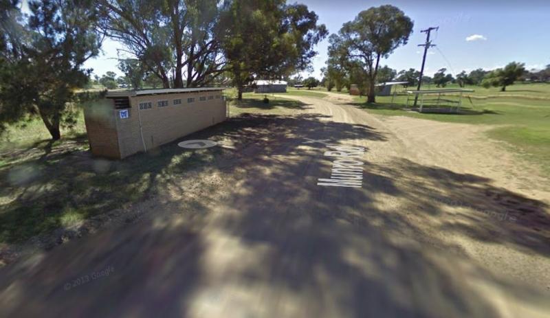
0 reviews
The Yeoval Showground Camping, has showers and toilets, with lots of space to park your caravan. The main business area of town is within easy walking distance from the showground.
Entrance to the Yeoval Showground Camping Area
Yeoval Showground Campi ...
Read More...
Category
Camping Fees Apply
Facilities Available, , , , , ,
, , , , , ,
Camping Info
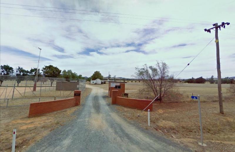
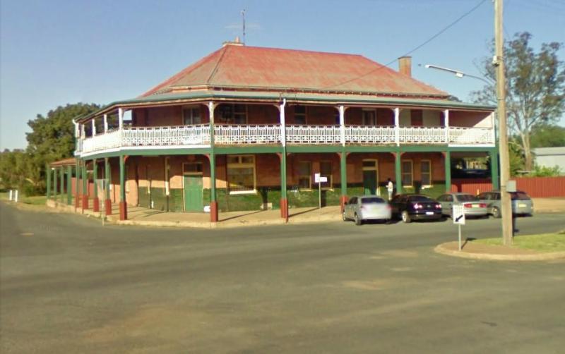
Hay Street, Yerong Creek, 2642, New South Wales
0 reviews
Entrance to the Yerong Creek Camping Area Yerong Creek Camping Area location map
Category
Pet Friendly Sites
Facilities Available, , , ,
, , , ,
Camping Info