Marryat Creek Rest Area
The Marryat Creek Rest Area has an emergency Phone and emergency rainwater tank to supply of Drinking water. There is lots of space for your caravan, you will find undercover picnic tables, rubbish bins to compliment this rest area.
Location Map
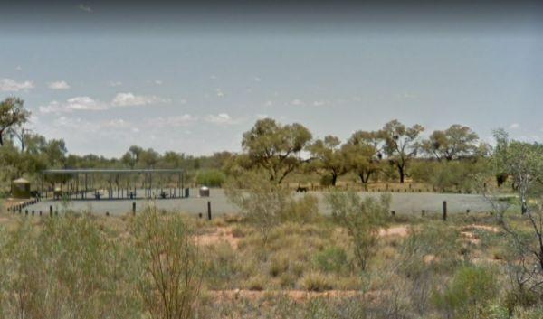
360 view - Entrance to the Marryat Creek Rest Area
Marryat Creek Rest Area location map
Address
Stuart Highway, Ayers Range South, 0872, South Australia
Sat Nav Coordinate
-26.278495,133.188917
Entrance side
Vehicles travelling Southbound
Suitable for
Caravans and Motorhomes
Road Access
Asphalt Road Surface
Parking Area
Gravel Surfaced Area
Elevation above Sea Level
458.1 meters
Drive through site
Yes - Some Drive through sites available
Big Rigs
Yes - there is room to maneuver
Power Available
No onsite mains power available
Toilets
No public toilets at this location
Dump Point
No black water dump point
Rubbish Bins
Yes - At least one rubbish bin located here
Drinking Water
Non Potable Water is available and it must be treated first before drinking
Shade
No shade to be had anywhere
Picnic Tables
Yes - At least one Picnic Table located here
Fixed Fire places
No fixed fireplaces
Fixed BBQ's
No - BBQ facilities onsite
Pet Friendly
Yes - Dogs are Permitted Conditions Apply
Childrens Playground
No playground infrastructure onsite
Short Walks
Nothing much to see here
Fishing
No fishing spots within easy walking distance
TV Reception
Unknown if you can get a TV signal here
Mobile Phone Reception
Unknown if you can get a mobile signal here
Internet Access
Unknown if you can recieve a mobile phone Internet signal here
Unique Pageviews
3,894
Facilities Available
 ,
, 
Camping Info