Surry Ridge Picnic and Camping Area
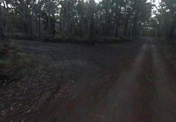
To get to the Surry Ridge Picnic and Camping Area you need to travel down narrow dirt roads which means it's more suitable to small campervans and car based camping.
Location Map
Surry Ridge Picnic and Camping Area location map
Address
Surrey Ridge Picnic Area Cut Out Dam Road, Heywood, 3304, Victoria
Sat Nav Coordinate
-38.184061,141.504193
Entrance side
Vehicles travelling Eastbound
Suitable for
Caravans and Motorhomes
Tags
Campsite Fees Contact Details
Controlled by Parks Victoria
Road Access
Dry Weather Road Only
Parking Area
Gravel - Dry Weather Only
Elevation above Sea Level
80.4 meters
Drive through site
Not suitable for Large Caravans
Big Rigs
Not Suitable for large rigs
Power Available
No onsite mains power available
Toilets
No public toilets at this location
Dump Point
No black water dump point
Rubbish Bins
No rubbish bins onsite - So PLEASE Take your rubbish with you when you leave
Drinking Water
Creek or River Water is within walking distance
Shade
Yes - Quite a few Shady Spots to select from
Picnic Tables
Yes - At least one Picnic Table located here
Fixed Fire places
Yes - At least one fixed fireplace onsite - Remember to bring your own supply of firewood
Pet Friendly
No Dogs Permitted at any time
Childrens Playground
No playground infrastructure onsite
Short Walks
Yes - Room to stretch your legs on short walks
Fishing
Yes - Some Fishing spots within walking distance
TV Reception
No TV signal available
Mobile Phone Reception
No Mobile Phone Reception
Internet Access
No Internet available at this spot
Number of Un-Powered Sites
13 campsites available three of which are set aside for tents only
Thank You
A Big Thanks for supplying Update information for this listing - Goes to - Robert Jaffrey
Unique Pageviews
3,607
Facilities Available
 ,
,  ,
, 
Camping Info