Free Camping

Victoria Free Camping and Free Campgrounds List
Free camping is an extremely cost-effective way to explore the Victorian countryside.
There are so many free camping places to choose from, ranging from basic, rough and ready camping with amazing scenery and beautiful riverside camps, to more luxurious options with flushing public toilets, hot showers, drinking water, free barbecues, undercover picnic tables, and more.
Please Add Missing Free Camping Areas 📖
Please add any free camping areas in Victoria that we don’t already have listed on our site.
Alternatively, you can contact the admin and the'll add them for you.
Doolans Bend Camping Area
The Doolans Bend Camping Area has the Murray River at your doorstep, and all associated water activities at your pleasure are available here.

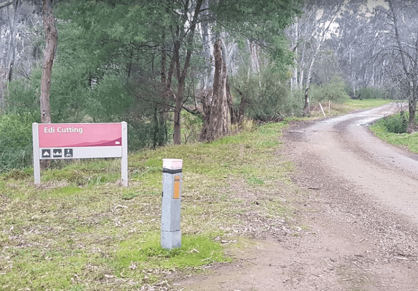
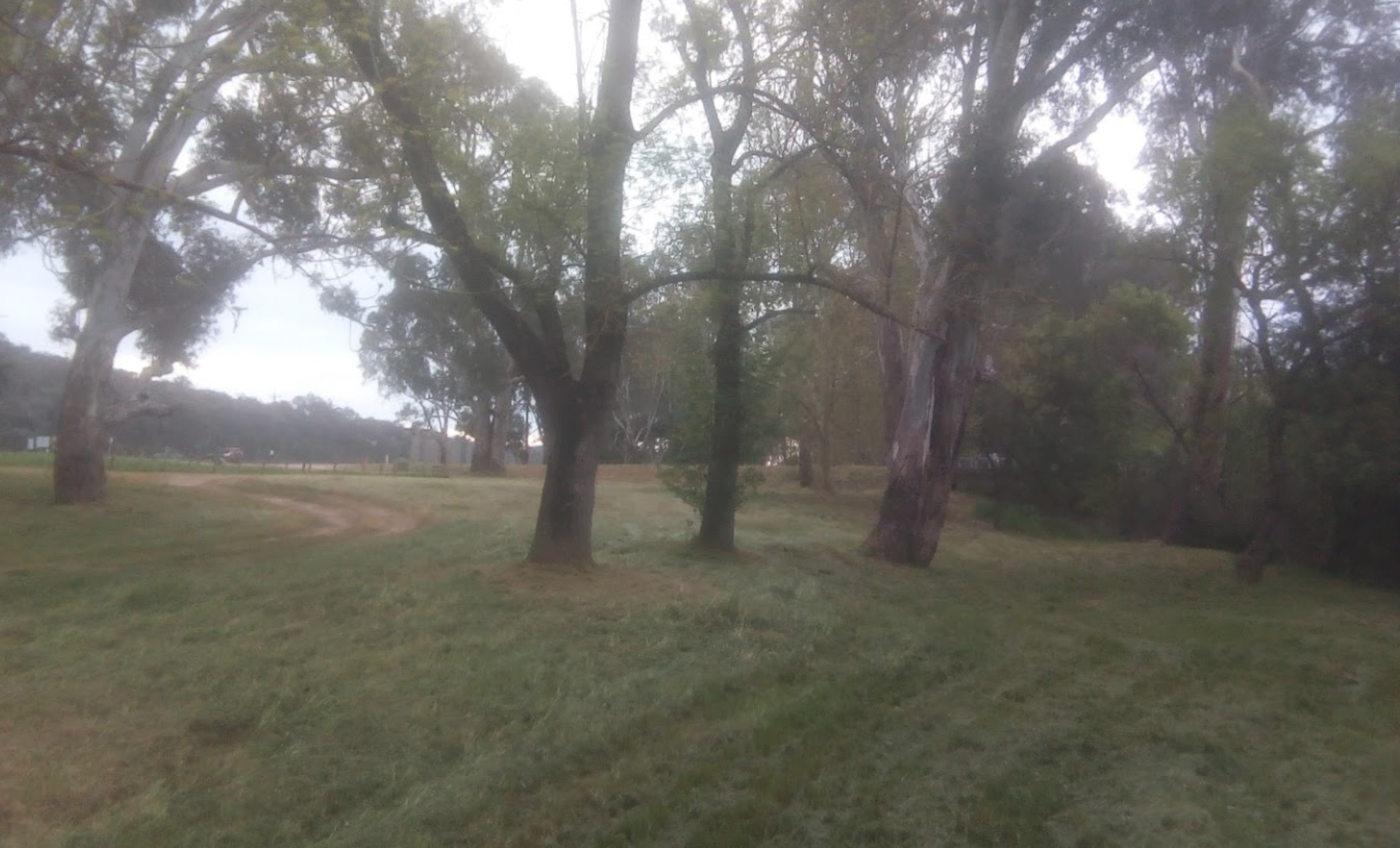
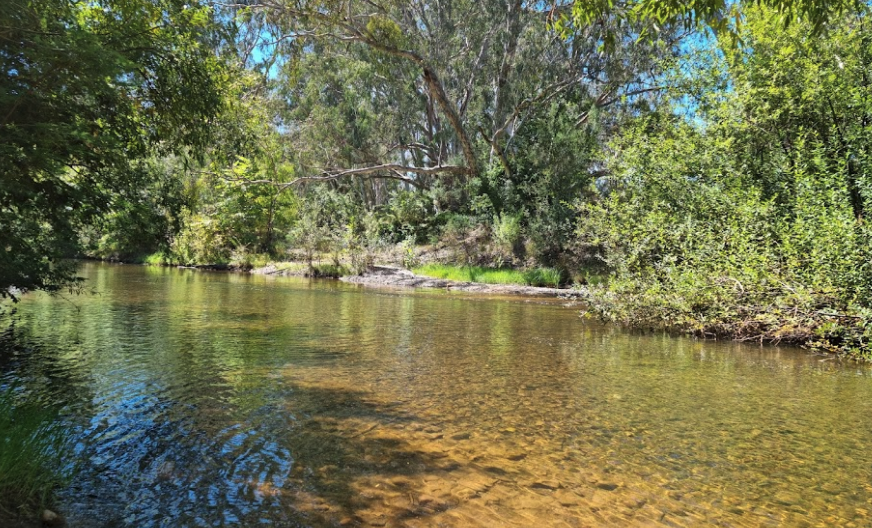
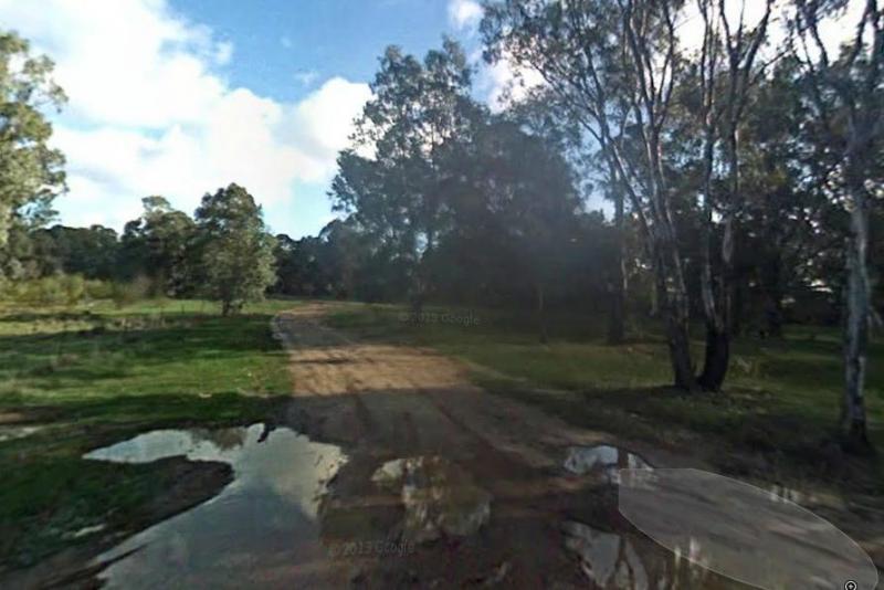
Edi Cutting Camping Area has crystal clear water in the King River, and plenty space for camping. There’s two toilets available and this place gets very busy over holidays. This campsite is really a nice place for the kayak, and a bit of fishing or simply ...
Read More...
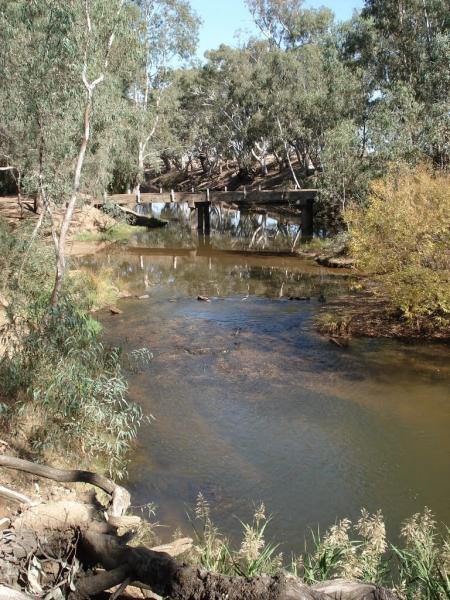
The English's Bridge Camping Area is a great campsite by the Campaspe River, with good swimming area near bridge boat ramp. There is plenty of level ground for RV's or caravans. It's best to be self contained if camping here as there are no amenities, and ...
Read More...
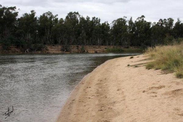
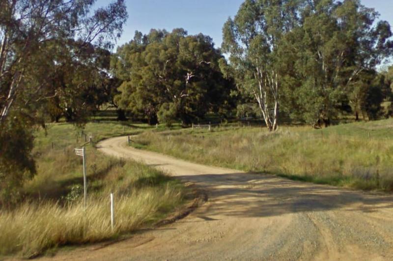
To get to the Finley Beach Camping Area, turn onto an unnamed Dirt Road at GPS -35.821054,145.554872, Nice spot on the Murray River
Firth Park Camping Area
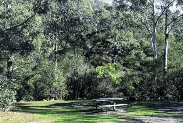
The Firth Park Camping Area has some undercover Picnic Tables, there is also a small lake where you can try to catch a fish or two. Not many places for caravans, but plenty of room for tents, there are 4 long drop toilets, fireplaces with swivel bbq plate ...
Read More...
 ,
,  ,
,  ,
, 

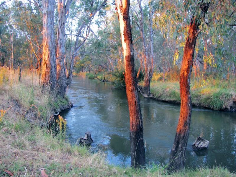
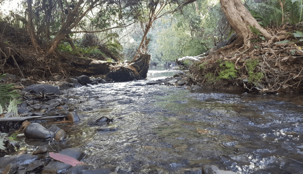
Fishbone Flat Camping Area is a nice spot along the Arnold Creek, with a few fireplaces and no other facilities to grace this campsite.

Forges Beach No 1
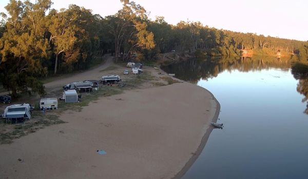
Forges Beach No 1 can accommodate large vans, and provides excellent camping right on the Murray River. This campsite is a safe place for the kids to swim and is very popular during public holidays. There are long drop toilets at the campground.
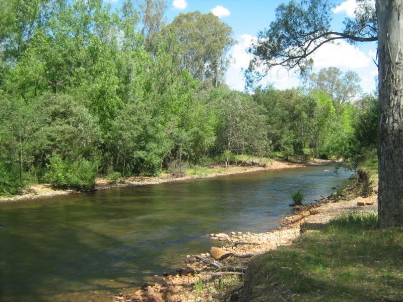
The Frenchmans Creek Camping Area is a really nice peaceful and quiet camping ground next to the Big River for fishing. There are lots of tracks to explore and heaps of spots to camp and the campsites are better suited to vehicle based camping rather than ...
Read More...
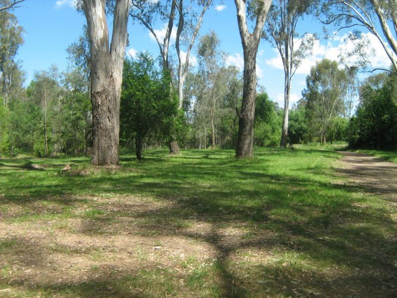
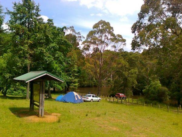
Froam Campground
Froam Campground is a small camping and picnic area on the banks of the Freestone Creek. Visitors can gain access to Blue Pool via the Freestone Creek Walking Track, here you will find a nice swimming hole. Additional campsites are located further along F ...
Read More...
 ,
,  ,
,