List Categories and Listings by M
The Mountain Dam Camping Area has a boat ramp so you can launch your kayak with ease. There is a drop toilet and a few fire pits with picnic tables and this campsite has plenty of campsites to choose from.
Mountain Dam Camping Area
Mountain Dam Campin ...
Read More...
 ,
,  ,
,  ,
,  ,
, 
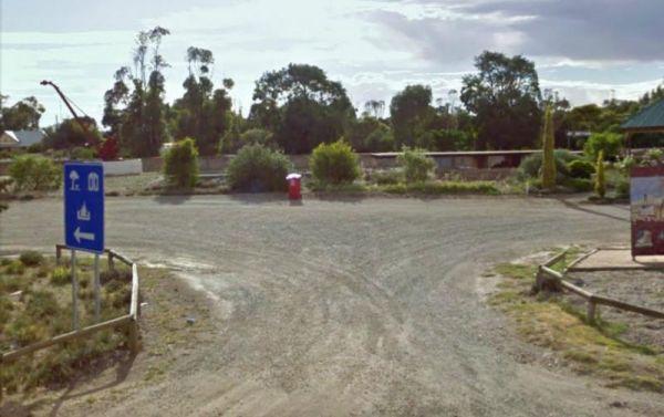
The Mt Bryan Rest Area is just off the Barrier Highway there is a turbine blade on display, You don't realise how big these things are until your up close to one. The parking area is on a large a gravel surface, where you can park many caravans of all siz ...
Read More...
,  ,
,  ,
,  ,
,
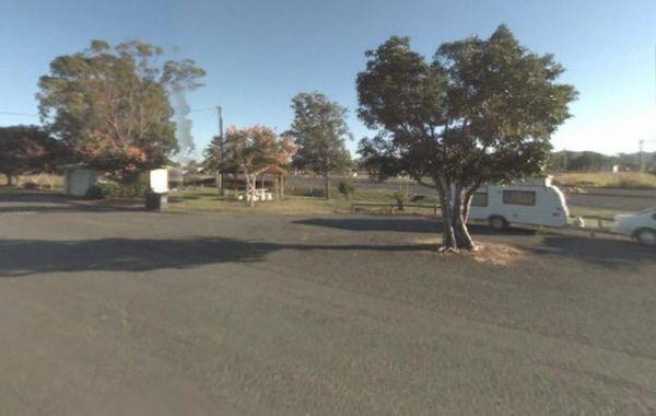
Mt Buffalo Caravan Park
Entrance to the Mt Buffalo Caravan Park Mt Buffalo Caravan Park location map
,  , ,
, ,  ,
,  ,
, 
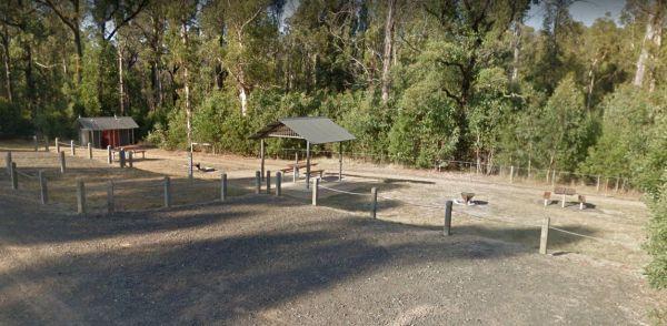
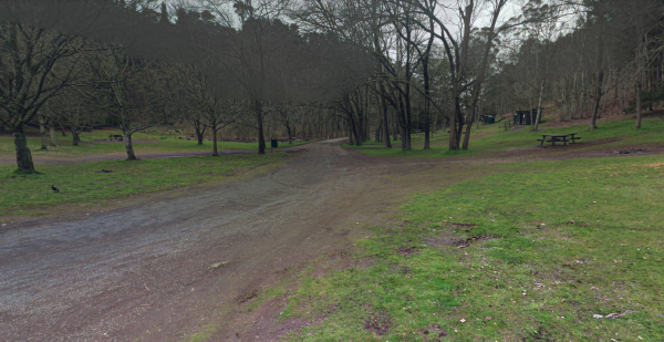
Mt Disappointment State Forest - No 1 Camping Area
Mt Disappointment State Forest - No 1 Camping Area has plenty of spots to choose a campsite from. There are picnic tables, undercover shelters, fire pits and public toilet, plus a few good mountain bike tracks in the area that are worth exploring.
Entran ...
Read More...
, ,
Mt Franklin Rest Area
Turn from Midland Highway to the Mt Franklin Rest Area Mt Franklin Rest Area location map
, , 
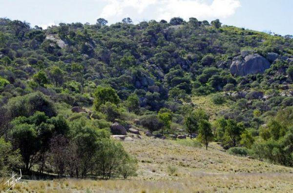
The Mt Korong Scenic Reserve has a walking track with a slow incline from the car park to the top of the rock outcrop. Mt Korong Scenic Reserve location map
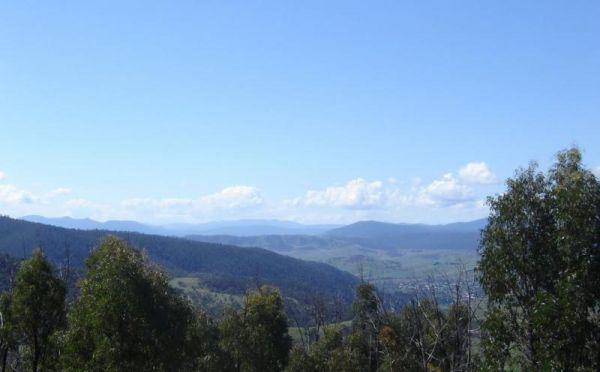
The Mt Kosciuszko Lookout Rest Area has plenty of room to park all sized caravans on a large gravel surface. There is an information board and a few bench seats, and on a clear day you can see Mt Kosciusko in the distance.
Mt Kosciuszko Lookout Rest Area ...
Read More...
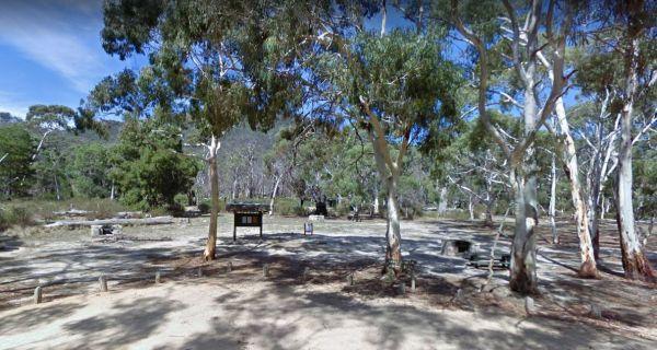
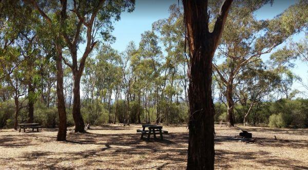
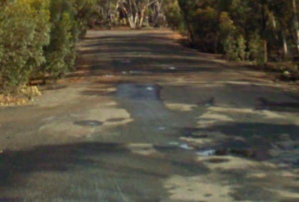
The Mt Langi Ghiran State Park Camp Area is a very basic free camping bush site for setting up a hiking or 4WDriving camp base. Entrance to the Mt Langi Ghiran State Park Camp Area Mt Langi Ghiran State Park Camp Area location map
, ,
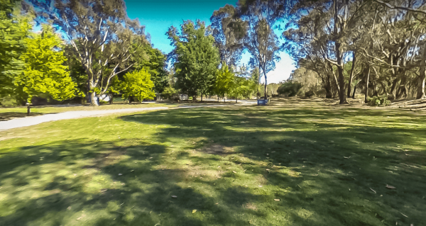
From the Mt Larcom Park Rest Area you can walk over to the the local shop and buy a Big Mama Pie then walk back and sit at the picnic tables and enjoy eating the pies. Entrance to the Mt Larcom Park Rest Area Mt Larcom Park Rest Area location map
, , ,
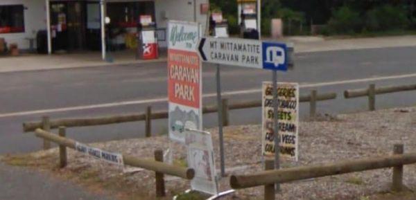
Entrance to the Mt Mittamatite Caravan Park Mt Mittamatite Caravan Park location map
, , , ,  , , , ,
  ,
,
Mt Pleasant Rest Area
Entrance to the Mt Pleasant Rest Area Mt Pleasant Rest Area location map
Entrance to the Mt Robinson Rest Area Mt Robinson Rest Area location map
, , ,
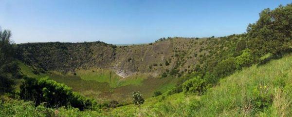
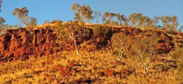
Mt Schank Picnic Area - Extinct Volcano
Entrance to the Mt Schank Picnic Area - Extinct Volcano Mt Schank Picnic Area - Extinct Volcano location map
, , ,
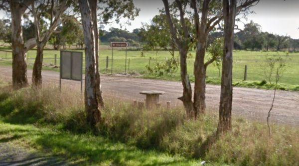
Mt Sturgeon Rest Area is the southernmost tip of the Grampians and just outside the township of Dunkeld and alongside the Glenelg Highway, with plenty of parking space a picnic table, plus tourist information board.
Entrance to the Mt Sturgeon Rest Area ...
Read More...
,
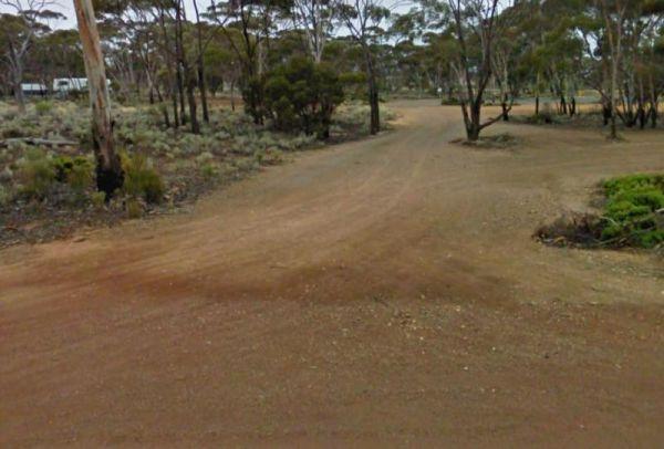
Entrance to the Mt Thirsty Rest Area Mt Thirsty Rest Area location map
, , ,
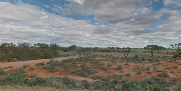
The Mt Vivian Rest Area is set a reasonable way back from the Stuart Hwy with a picnic table undercover to sit at, there really isn't much else to do to help pass the time away. So enjoy the flat desolate surroundings, but don't stray too far from you car ...
Read More...
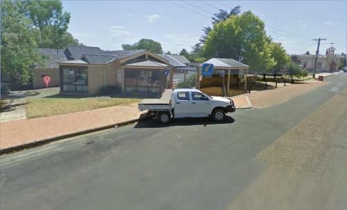
Entrance to the Mudgee Visitor Information Centre Mudgee Visitor Information Centre location map
Mulberrygong Rest Area
Entrance to the Mulberrygong Rest Area Mulberrygong Rest Area location map

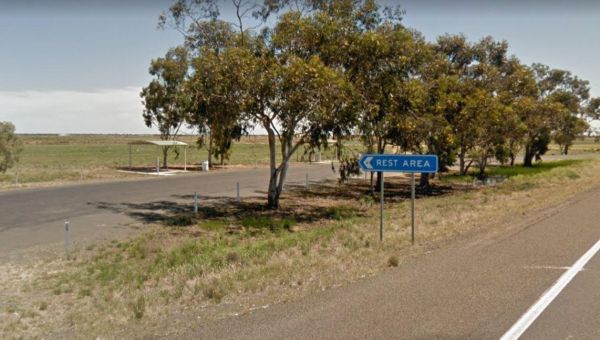
The Mulga Well North Rest Area is set back a reasonable distance from the Stuart Highway, on a level gravel surface with rubbish bins and an undercover picnic table for a bite to eat.
Entrance to the Mulga Well North Rest Area
Mulga Well North Rest Ar ...
Read More...
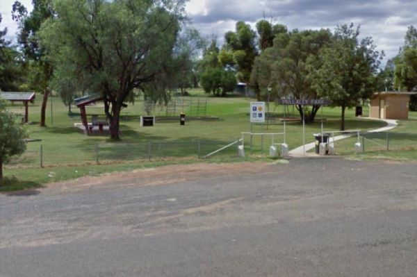
The Mullaley Park Rest Area has a Post Office across the road with a public phone booth if your mobile has died on you. Entrance to the Mullaley Park Rest Area Mullaley Park Rest Area location map
, , ,