List Categories and Listings by M
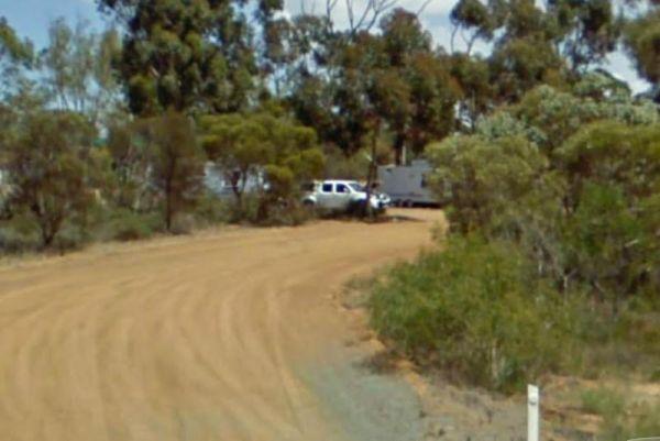
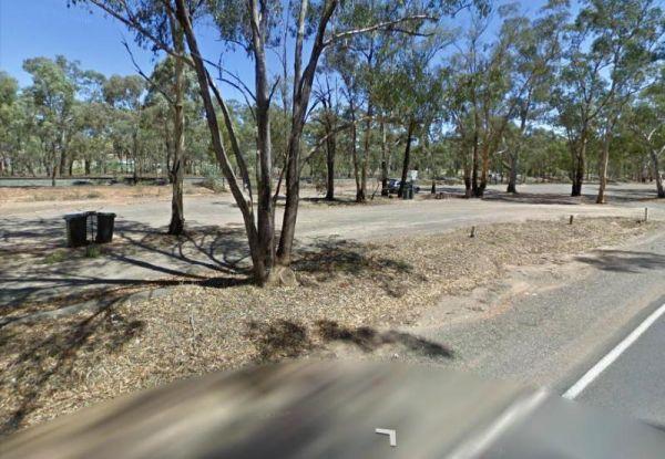
Mullengandra Creek Rest Area
Entrance to the Mullengandra Creek Rest Area Mullengandra Creek Rest Area location map
 ,
, 
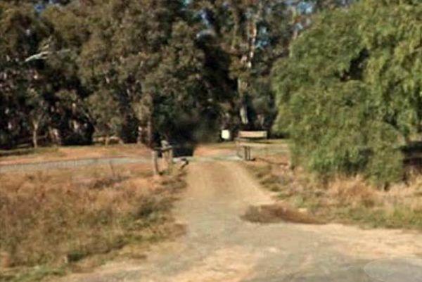
Entrance to the Mundaring Visitors Information Centre Mundaring Visitors Information Centre location map
,  ,
, 
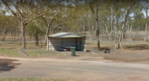
The Mundoonan Rest Area is an extremely well appointed rest area and accessible to northbound traffic on the Hume Highway. There are modern public toilets, undercover parking for cars, undercover picnic tables and free electric bbqs rubbish bins and emerg ...
Read More...
,  , , ,
, , ,  ,
,
Mungallala Creek Rest Area
Entrance to the Mungallala Creek Rest Area Mungallala Creek Rest Area location map
,  , ,
, ,
Entrance to the Munglinup Rest Area Munglinup Rest Area location map
, ,  , , ,
, , ,
The Murchison State Forest - McMillans Camping Area you need to bring everything you need with you, and remember to take your rubbish to keep this site pristine, and ready for the next camper to enjoy. This is a rough bush camp with a few campsites to cho ...
Read More...
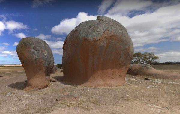
At the Murphy's Haystacks Park Rest Area you can walk along the path and explore the unusual rock formations at the park location. Entrance to the Murphy's Haystacks Park Rest Area Murphy's Haystacks Park Rest Area location map
,
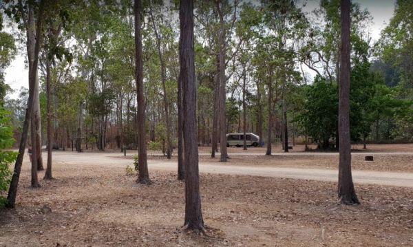
Murray Falls State Forest Camping Area
From the Murray Falls State Forest Camping Area you can take a short stroll to the falls or go for a swim in one of the water holes in the creek.
Entrance to the Murray Falls State Forest Camping Area
Murray Falls State Forest Camping Area location ma ...
Read More...
,
Murray Sunset National Park Camping Area
The Murray Sunset National Park Camping Area is a very basic bush camp and a great place to set up a base camp for four wheel drive touring, bushwalking and camping. Murray Sunset National Park Camping Area location map
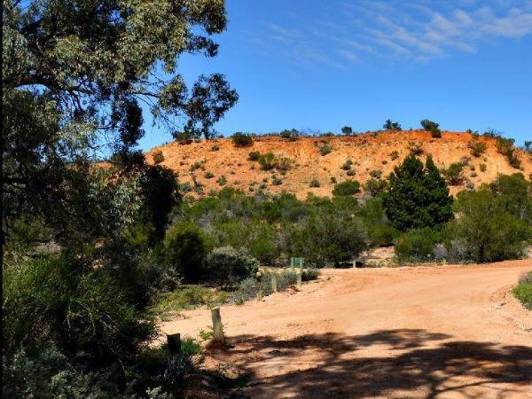
Murrayville East Rest Area
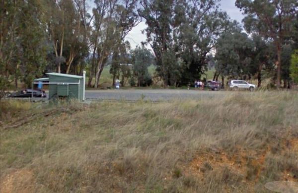
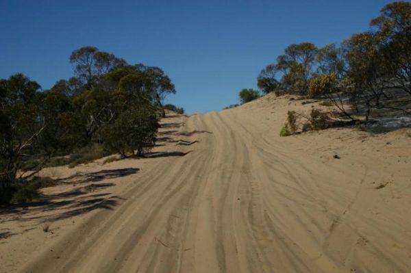
The Murrayville East Rest Area has a train track running parallel with the main road. There are quite a few tacks into the scrub for the more adventurous. Entrance to the Murrayville East Rest Area Murrayville East Rest Area location map
,
Murrayville Park Rest Area
The Murrayville Park Rest Area has a phone box and public toilet block, some old farm equipment on display, bbq, picnic tables, some shade spots to park your vehicle, and the Murrayville Hotel is directly across the road.
Entrance to the Murrayville Park ...
Read More...
, , ,
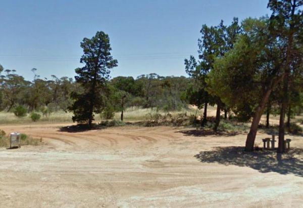
Murrungower Rest Area
The Murrungower Rest Area is set back from the Princes Hwy with a few trees to block the traffic noise. This rest area has had a major upgrade with asphalt being laid with plenty of room to park all sized rigs. There is a public toilet block, picnic table ...
Read More...
, ,
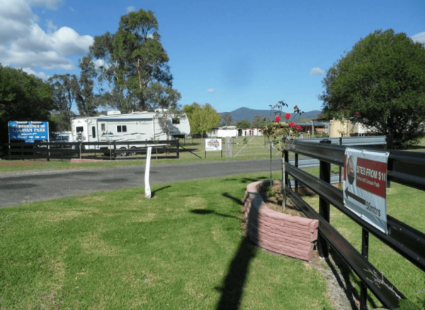
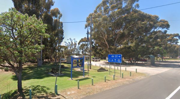
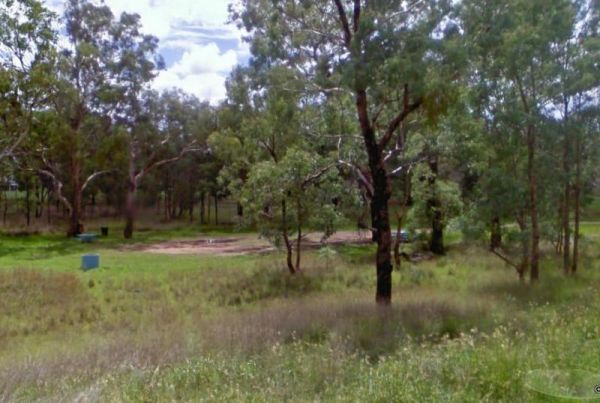
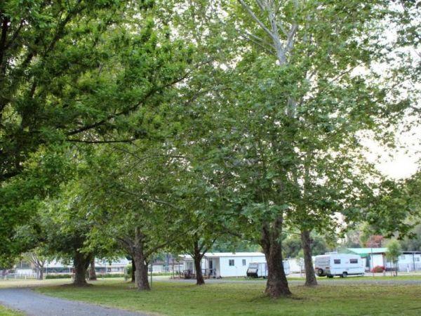
Murrurundi Caravan Park
Entrance to the Murrurundi Caravan Park Murrurundi Caravan Park location map
, ,  ,
,  , ,
, ,
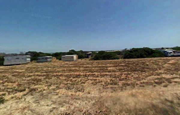
The Murtho Forest Landing Campground is very close to the Murray River. This is a basic bush camp and not a bad place to drop a fishing line. Entrance to the Murtho Forest Landing Campground Murtho Forest Landing Campground location map
Musselroe Bay Camping Area
When camping in the Musselroe Bay Camping Area, you should bring your own firewood and use the existing fireplaces. There is a boat launching ramp just up the road in the area if you need it. GPS -40.831987,148.177916
Entrance to the Musselroe Bay Campin ...
Read More...
,  ,
,
Myall Creek Rest Area
The Myall Creek Rest Area is a shady spot set back from the main road in amongst some tall trees that offer some nice shade. Entrance to the Myall Creek Rest Area Myall Creek Rest Area location map
 , , ,
, , ,
Myers Flat Rest Area
Myers Flat Rest Area is wedged between the railway and the Loddon Valley Hwy and on the outskirts of Bendigo (Eaglehawk end) so lots to explore in town, a good spot to stop and work out where you are going to stay, and there is lots of room to park, with ...
Read More...
, ,
Myrtleford Holiday Park
Entrance to the Myrtleford Holiday Park Myrtleford Holiday Park location map
, , ,  , ,
, ,  , , , , ,
  ,
,