List Categories and Listings by S
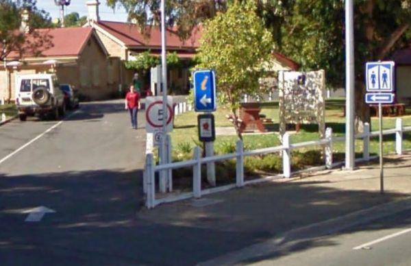
Strathalbyn Visitor Information Centre
The Strathalbyn Visitor Information Centre is located in the old Railway Station. It's well worth your time to drop in, and get more information as to what there is available to do and see in the local area.
Entrance to the Strathalbyn Visitor Informatio ...
Read More...
 ,
,  ,
,  ,
, 
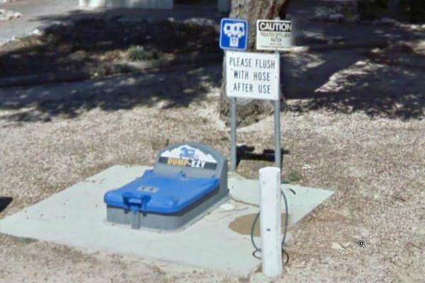
Streaky Bay Park Free Dump Point
Entrance to the Streaky Bay Park Free Dump Point Streaky Bay Park Free Dump Point location map
, , ,  , ,
, , 
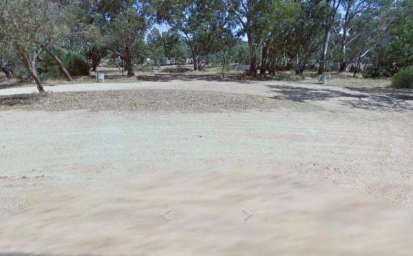
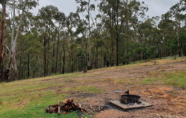
Stuart Mill South Rest Area
Entrance to the Stuart Mill South Rest Area Stuart Mill South Rest Area location amp
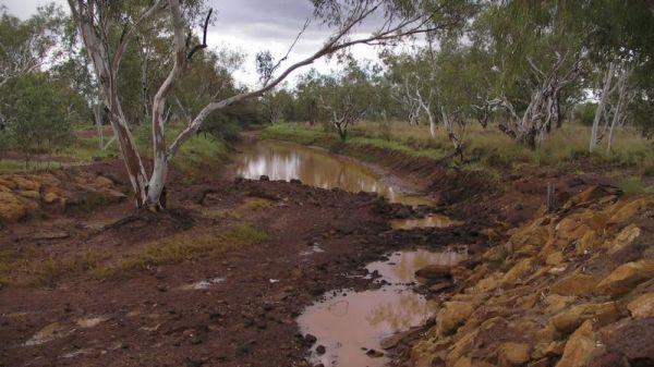
Sturt Creek Rest Area
Sturt Creek Rest Area location map
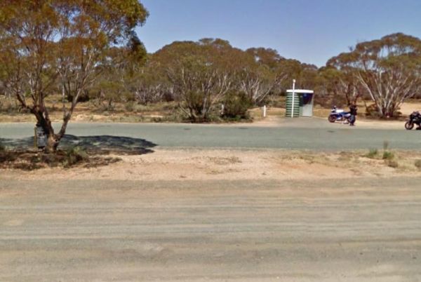
At the Sturt Highway Rest Area you can pull off the asphalt onto the gravel area on both sides of the Sturt Highway. There is a public toilet on the eastbound side, and undercover picnic tables and rubbish bins on both sides. So if you are a bit on the t ...
Read More...
,
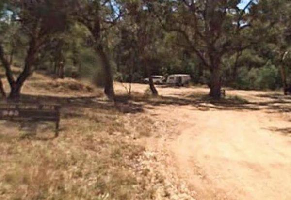
Suggan Buggan Campground
When going to Suggan Buggan Campground, be a bit wary if you intend to take a caravan to this place, it is a bit hilly, Once there pop over and have a look at the Old Schoolhouse, remember to take your camera with you.
Entrance to the Suggan Buggan Campg ...
Read More...
Sullivan Rock Rest Area
Entrance to the Sullivan Rock Rest Area Sullivan Rock Rest Area location map
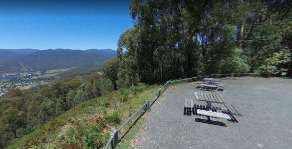
Sullivans Lookout Rest Area
The Sullivans Lookout Rest Area has plenty of parking area to accommodate the largest rigs with a wonderful view of Mt Beauty in the distance. It's well worth the stop if your on the Tawonga Gap Road to Falls Creek.
Entrance to the Sullivans Lookout Rest ...
Read More...
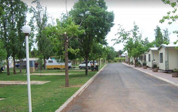
Sun City Caravan Park
Entrance to the Sun City Caravan Park Sun City Caravan Park location map
, ,  ,
,  ,
,  ,
,  , , ,
, , ,  ,
,  ,
, 
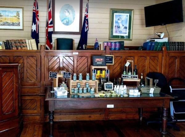
The Sunbury Visitor Information Centre is set up in the old Petty Courts building, so a bit of history associated with the building, the judge's table a witness and accuser box is still there, so this place has a bit of charisma.
Entrance to the Sunbury ...
Read More...
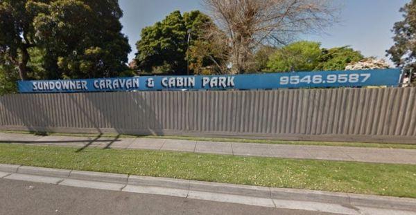
Sundowner Caravan & Cabin Park
Entrance to the Sundowner Caravan & Cabin Park Sundowner Caravan & Cabin Park location map
,
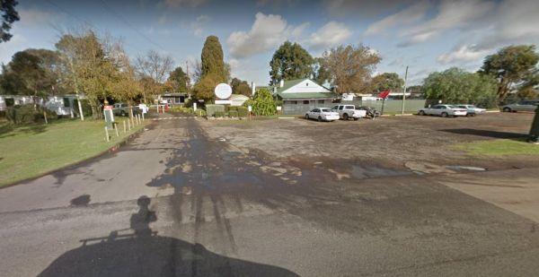
Entrance to the Sundowner Rockbank Caravan Park Sundowner Rockbank Caravan Park location map
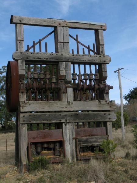
Sunny Corner Recreation Reserve
The Sunny Corner Recreation Reserve is a great place to go and get away from it all, and there is some interesting mining relics to be found here. is located in an Old mining area (GPS Location for the Stamper Battery below -33.38315,149.887969)
Entrance ...
Read More...
,
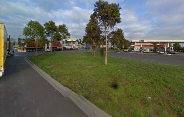
The Sunshine Mobil Service Centre - Free Dump Point is located on the Western Ring Road North Bound, use truck lane, after pumps, marked as Bus Effluent Point. Suitable for all vehicles , Service centre for fuel and McDonalds
Entrance to the Sunshine Mob ...
Read More...
, , ,
Entrance to the Surf Beach Holiday Park Surf Beach Holiday Park location map
, , , , ,  ,
,  , , , ,
The Surface Point Camping Area has a few walking trails, with lots of wildlife and a creek to explore plus you can try your luck at finding GOLD in the creek. Please be careful if bushwalking here as there are many hidden mine shafts in the area. There is ...
Read More...
,  ,
,  ,
,  ,
,
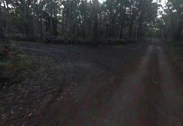
To get to the Surry Ridge Picnic and Camping Area you need to travel down narrow dirt roads which means it's more suitable to small campervans and car based camping. Surry Ridge Picnic and Camping Area location map
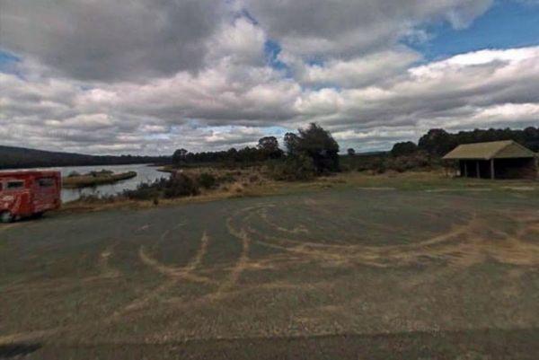
Surveyors Memorial Reserve Rest Area
The Surveyors Memorial Reserve Rest Area is the actual Memorial to Tasmania's Early Surveyors, Lyell Highway, is located in a small cut-out on the other-side of the bridge.
Entrance to the Surveyors Memorial Reserve Rest Area
Surveyors Memorial Reserv ...
Read More...
, ,

Entrance to the Lilydale Pine Hill Caravan Park Lilydale Pine Hill Caravan Park location map
, , , , ,  , , , , ,
  , , ,
, , ,  ,
,
Swaggies Beach Camping Area
The Swaggies Beach Camping Area can be a bit hard to find unless you use GPS with off road maps is a great help in finding camping spots like this one. Swaggies Beach Camping Area location map