List Categories and Listings by S
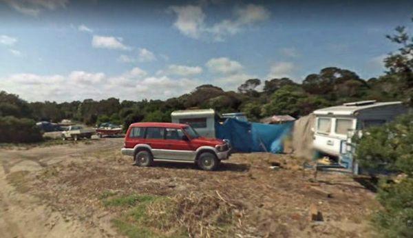
South Croppies Point Camping Area
South Croppies Point Camping Area is a rough Bush Camp with limited spaces available, and a nice sandy beach within easy walking distance of your campsite.
Entrance to the South Croppies Point Camping Area
South Croppies Point Camping Area location ma ...
Read More...
The South Esk Lions Park Rest Area is set on the Banks of the South Esk River, a nice spot for a picnic, you could try your hand at fishing, drop your kayak in, or use the boat ramp if you prefer.
Entrance to the South Esk Lions Park Rest Area
South E ...
Read More...
 ,
,  ,
,  ,
,  ,
,  ,
, 
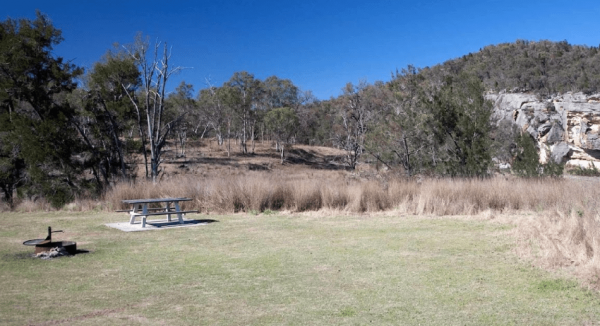
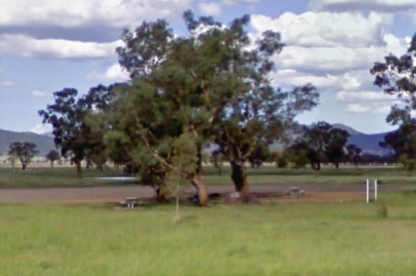
South Tomingley Rest Area is a large asphalted area, with some trees for shade, trucks pull in here also. There are public toilets, picnic tables and a few rubbish bins. Entrance to the South Tomingly Rest Area South Tomingly Rest Area location map
, ,
The Spalding Junction Rest Area is on a reasonably level gravel surface . for parking your caravan. There is a picnic table, rubbish bins and some shade just off the Barrier Highway.
Entrance to the Spalding Junction Rest Area
Spalding Junction Rest A ...
Read More...

The Specimen Creek Camping Ground is a 4x4 enthusiasts with and tent based camping, so you need to bring everything you need for this rough bush campsite. Specimen Creek Camping Ground location map
Spellmans Reserve
The Spellmans Reserve is a small area next to a stony Wilmot River with a few deep holes, with the possibility of a trout or two lurking in them. Entrance to the Spellmans Reserve Spellmans Reserve location map
 , ,
, ,
The Spencers Bend Camping Area is a tight squeeze for caravans, and more suited to camper trailers and tents. Spencers Bend Camping Area location map
Entrance to the Spire View Rest Area Spire View Rest Area location map
Entrance to the Spring Creek Rest Area Spring Creek Rest Area location map
, ,  , , , ,
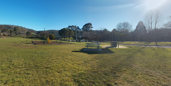
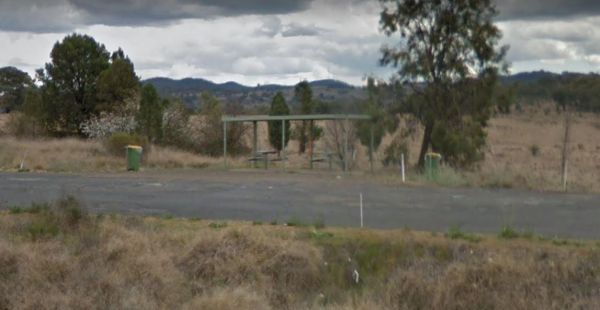
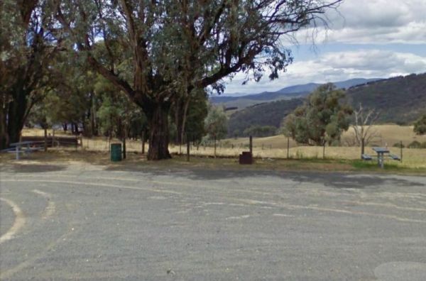
Spring Hill Rest Area
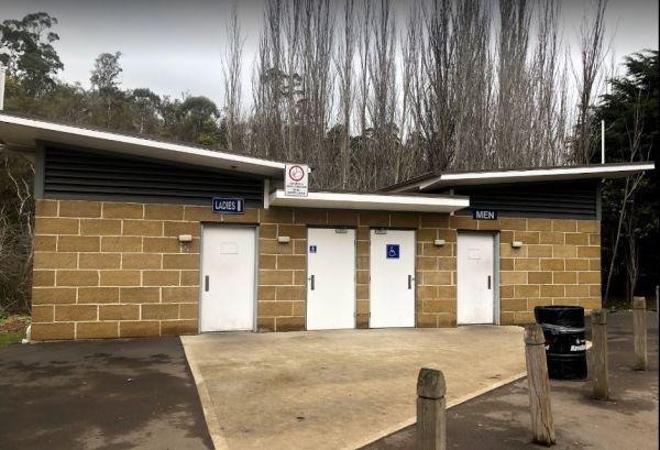
At the Spring Hill Rest Area you will find an undercover children’s playground, Undercover picnic tables, public toilet, tank water and rubbish bins. There is a normally dry creek-bed to explore, overall it's a nice spot to take a rest and refresh yoursel ...
Read More...
, , , , ,  ,
,
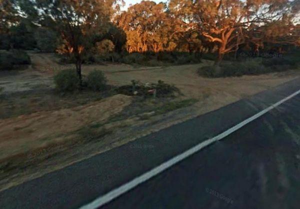
The Springfield Rest Area is right on the doorstep of Springfield Orchard so you can stock up on some fresh fruit from the shop. Entrance to the Springfield Rest Area Springfield Rest Area location map
, , ,
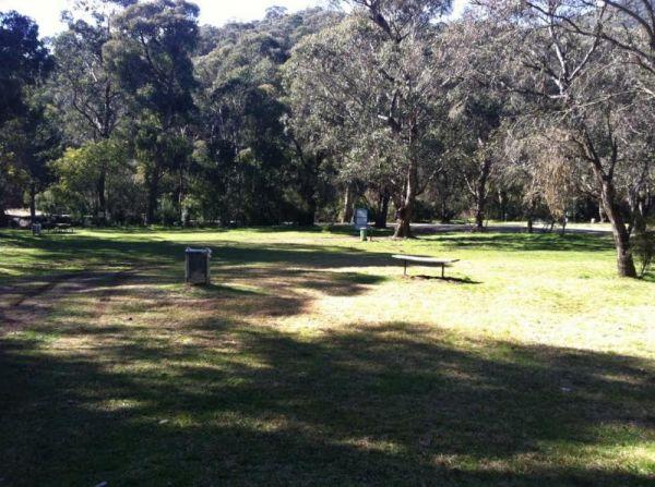
The Springs Road Rest Area has a bit of shade, and a bit of reasonably level area to pop the van on. You'll find a picnic table, rubbish bin, and a bit of shade here. Entrance to the Springs Road Rest Area Springs Road Rest Area location amp
,
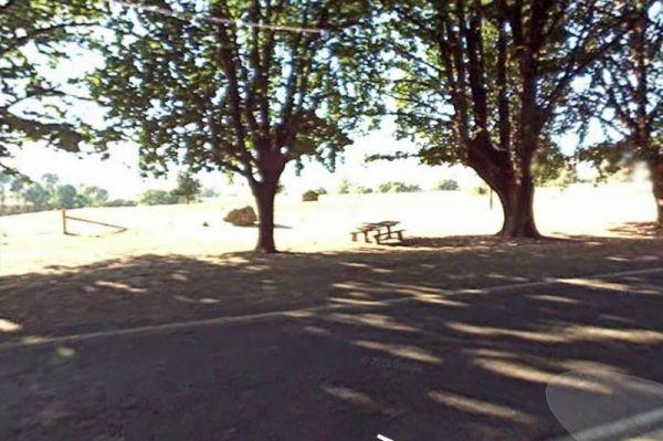
At the Square Bush Rest Area the picnic table and wood fired bbq that is under the shade of a large gum tree, and set well back from the main road, but you will still hear every road noise.
Entrance to the Square Bush Rest Area
Square Bush Rest Area l ...
Read More...
, , ,
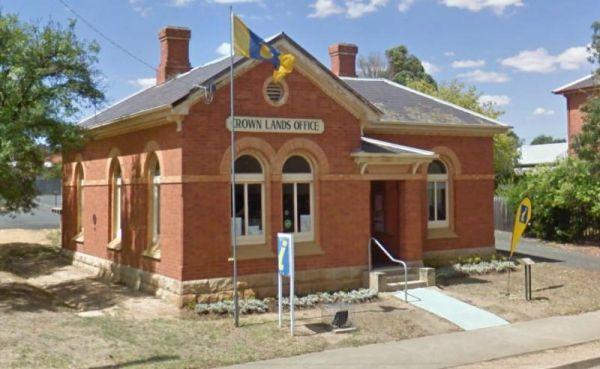
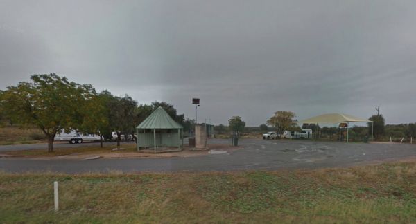
The St Arnaud Visitor Information Centre is located Directly Opposite the Queen Mary Gardens. The garden is a nice place to have a stroll around. Entrance to the St Arnaud Visitor Information Centre St. Arnaud Tourism location map
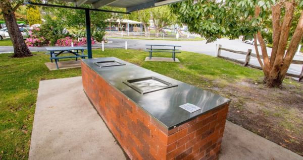
The St Helens Holiday Park Big4 location is with easy walking distance to town and the waters edge. This park has a well equipped camp kitchen and the outdoor camp kitchen with wood fired pizza oven.
Note to campers: At night they play the radio in the t ...
Read More...
,  , ,
, ,  ,
,  , ,
, ,  ,
,  ,
,  ,
,  , , ,
, , ,  ,
,  ,
,
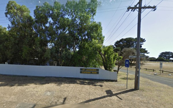
St Leonards Caravan Park
Entrance to the St Leonards Caravan Park St Leonards Caravan Park location map
St Peters Pass Rest Area is a nice secluded rest stop, just north of Oatlands. Pass Creek runs behind the rest area, this is fairly level ground with an old stone shelter and picnic tables, public toilets and rubbish bins.
Entrance to the St Peters Pass ...
Read More...
, , , , ,
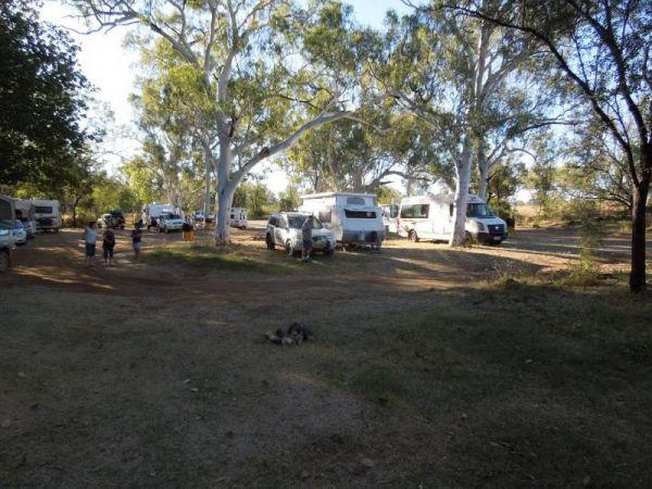
Stacey Bridge Camping Area
The Stacey Bridge Camping Area is next to the beautiful Wheeler Creek, there's two sites on either side of the road, with plenty of space your caravan. There's well maintained long drop toilets, fire pits, picnic tables. The Wheeler Creek is good for fly ...
Read More...
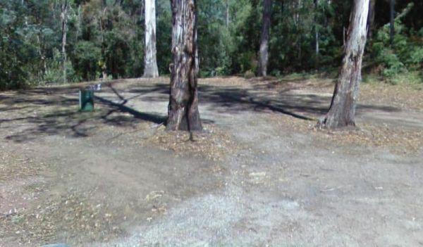
Staghorn Flat Rest Area
Entrance to the Staghorn Flat Rest Area Staghorn Flat Rest Area location map
,