List Categories and Listings by W
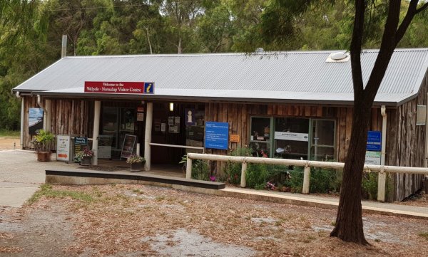
Entrance to the Walpole-Nornalup Visitor Centre Walpole-Nornalup Visitor Centre location map
 ,
, 
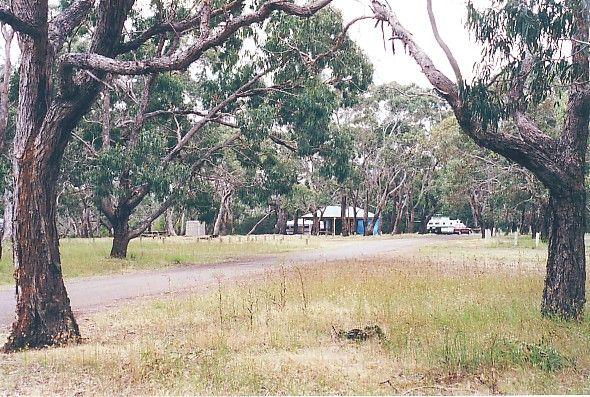
Wanda Wandong Camping Area is a great campsite with clean toilets, fire places, and plenty of walking trails. This is a large open area for Caravans and Campervans etc.
The walking track includes several informative signs that give insight into the local ...
Read More...
,  ,
, 
The Wang Wauk Rest Area is a nice spot to take a break from driving. with plenty of room for big rigs. Entrance to the Wang Wauk Rest Area Wang Wauk Rest Area location map
, , , ,  ,
, 
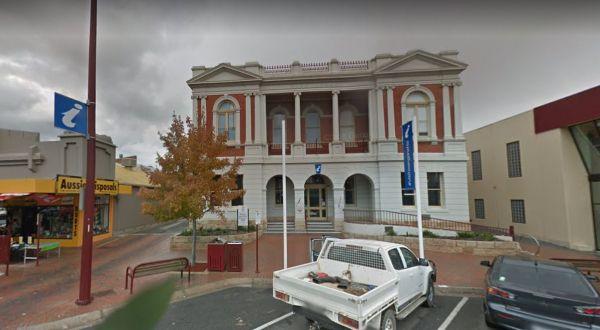
Wangaratta & Region Visitor Information Centre
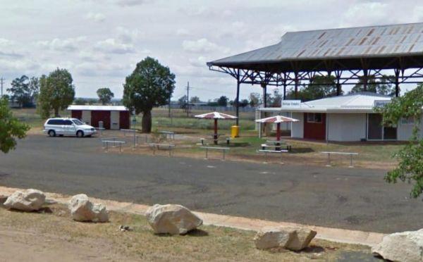
The Wangaratta & Region Visitor Information Centre is located on the edge of town and has lots of information available about attractions in local area. Parking out the front is not suitable for caravans and large motorhomes.
Entrance to the Wangarat ...
Read More...
,
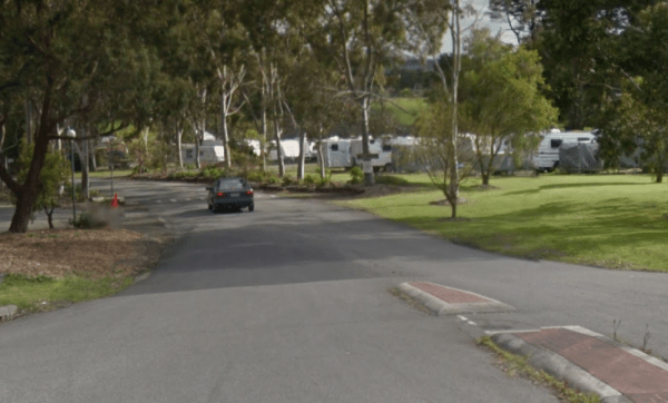
Wangaratta BIG4 - North Cedars Holiday Park
Entrance to the Wangaratta BIG4 - North Cedars Holiday Park Wangaratta BIG4 - North Cedars Holiday Park location map
, ,  ,
,  ,
,  ,
,  , ,
, ,  ,
, 
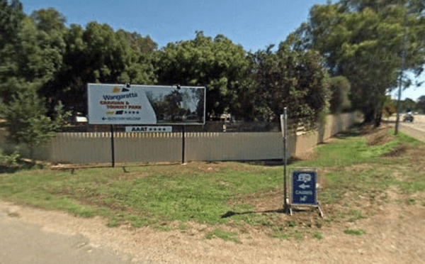
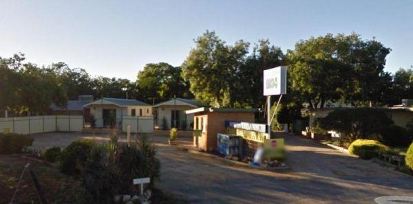
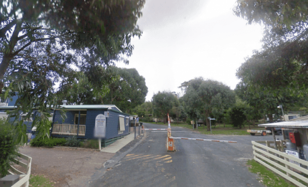
Wangaratta Caravan & Tourist Park
Entrance to the Wangaratta Caravan & Tourist Park Wangaratta Caravan & Tourist Park location map
, ,  ,
,  , , ,
, , ,  , , ,
, , ,  , ,
, ,  , ,
, , 
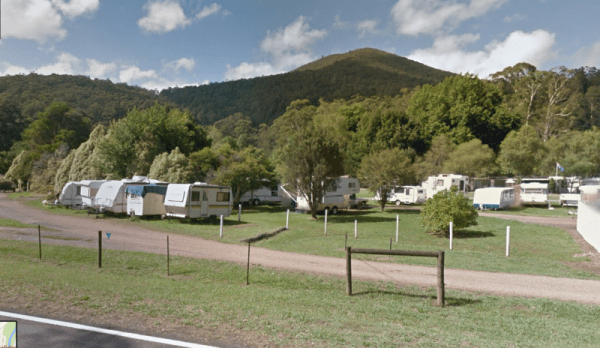
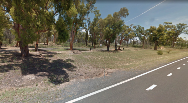
The Wangary Rest Area is reasonable level gravel surface just off the Flinders Highway, with an undercover picnic table area, and some trees for shade for your car and caravan. Entrance to the Wangary Rest Area Wangary Rest Area location map
,
Entrance to Wannamal Rest Area Wannamal Rest Area Location Map
, , ,
The Wannon Falls is situated between Hamilton and Coleraine. It's a bush setting and is accessible for all on and off road caravanners. Bring your own wood and build fires only in constructed fireplaces. The available Drinking Water is Tank Water. Boiling ...
Read More...
, ,
Entrance to the Wantirna Park Caravan Park Wantirna Park Caravan Park location map
, , , , , , ,  , , , ,
Waratah Bay Caravan Park
Entrance to the Waratah Bay Caravan Park Waratah Bay Caravan Park location map
, , , ,  , , , , ,
Entrance to the Warburton Caravan Camping Park Warburton Caravan Camping Park location map
, , , ,  , , , , , ,
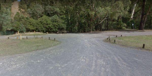
Warburton East Rest Area
Entrance to the Warburton East Rest Area Warburton East Rest Area location map
 , , ,
, , ,
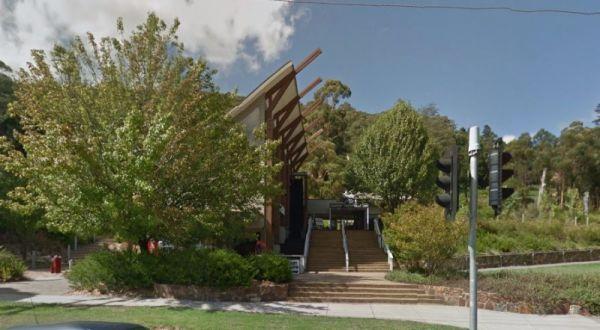
The Warburton Visitor Information Centre is in the center of town, and is a good information on local and surrounding areas. Also has a native animal display and exhibition space which highlights local artists which includes hand made soaps and wines and ...
Read More...
,
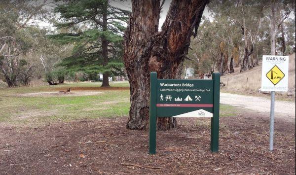
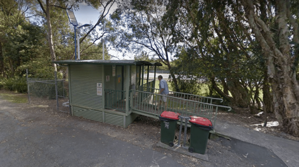
The Warburtons Bridge is a nice spot with Loddon River running at the back of it. It's mainly a level camping area with a few large river gum trees, and a long drop toilet and lots of picnic tables and fire pits. There are a few walking goldfield tracks t ...
Read More...
Entrance to the Wardell Rest Area (Southbound) Wardell Rest Area (Southbound) location map
, , ,
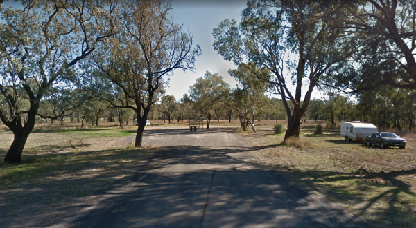
The Warialda Creek Rest Area has a few trees and birds to keep you company, and not much else at this location. Entrance to the Warialda Creek Rest Area location map Warialda Creek Rest Area Location Map
,
When stopping at the Warialda Rotary Park Rest Area check out the walking tracks and take your camera with you. Entrance to the Warialda Rotary Park Rest Area location map Warialda Rotary Park Rest Area Location Map
,
Entrance to the Warra Rest Area Warra Rest Area location map
, , , , ,
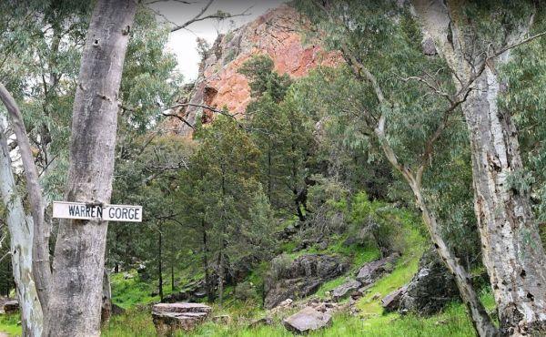
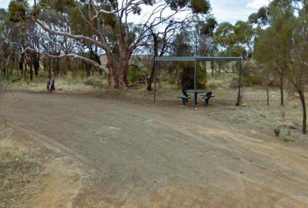
The Warren Gorge Camping Area has public toilets, and fireplace bbqs. and is run by the local council and for a nominal fee placed in the donation box. Warren Gorge Camping Area location map
, , ,