List Categories and Listings by H
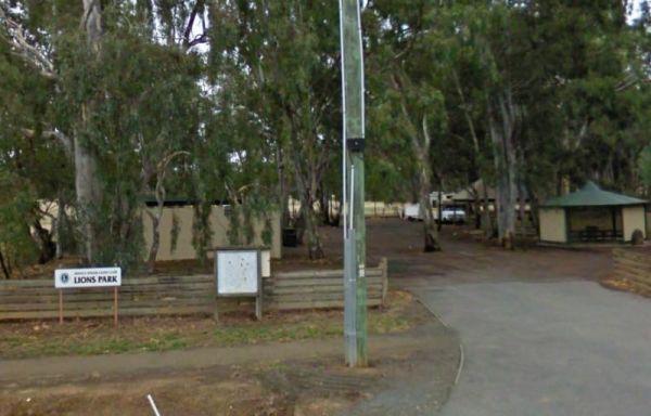
Highlands Caravan Park
Highlands Caravan Park is located at 33 Emily Street, Seymour, Victoria, 3660, offering a welcoming and friendly atmosphere in Central Victoria and the Goulburn Valley. Situated just an hour's drive from Melbourne, Bendigo, and She ...
Read More...
 ,
,  ,
,  ,
,  ,
,  ,
,  ,
,  ,
,  ,
,  ,
,  ,
, 
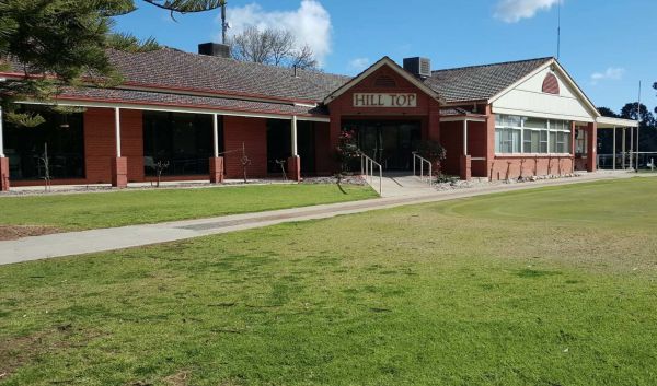
Hill Top Golf & Country Club is a well-regarded sporting and social hub nestled in Tatura, within the Goulburn Valley region of Victoria, Australia. The club is perhaps best known for its challenging golf course but also offers other amenities and ser ...
Read More...
, , ,
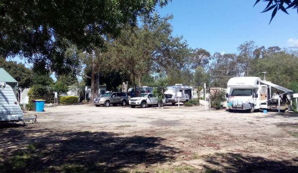
Hilltop Resort
Hilltop Resort, located at 659 Murray Valley Highway near Swan Hill, Victoria, 3585, is a spacious and peaceful motel and caravan park set on 35 acres. Situated just a 5-minute drive north of Swan Hill town centre, it offers a quiet, off-h ...
Read More...
, ,  , ,
, ,  , , , , ,
  , , ,
, , ,
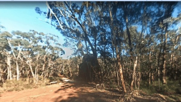
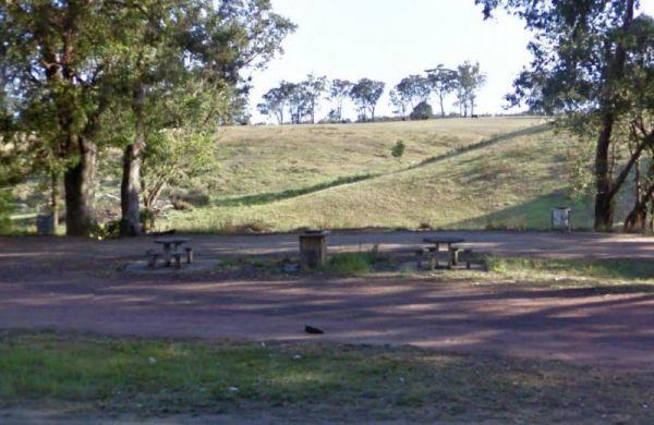
Hiscocks Crossing Camping Area is situated on the Banks of the Crawford River, with camping permitted only at Hiscocks Crossing, where the public toilets are provided. This is 4x4 country
,  ,
,  ,
, 
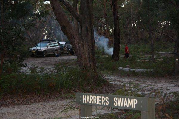
The Holey Plains State Park - Harriers Swamp Campground is 10kms south east of Rosedale. The park is situated south of the Princes Highway between Rosedale and Sale. The main access is from Rosedale, via the Rosedale Willung Road and Recreation Racecourse ...
Read More...
, ,
Holiday Lifestyle Henty Bay
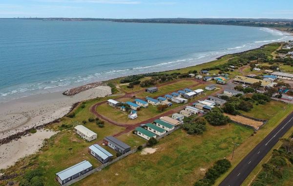
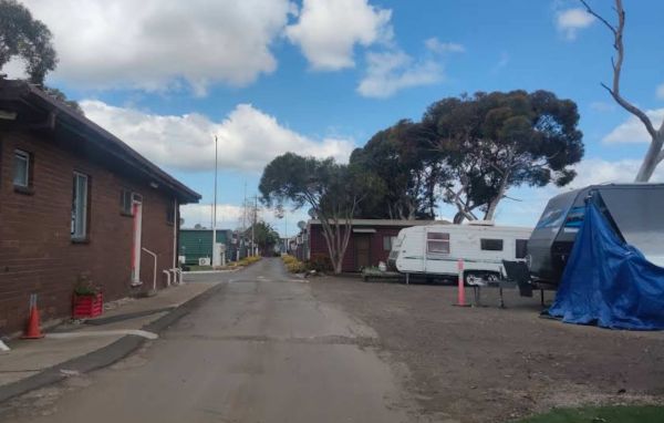
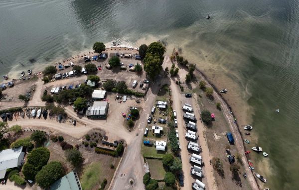
Holiday Lifestyle Henty Bay (also known as Henty Bay Beachfront Holiday Park) offers a tranquil and spacious beachfront escape just a short drive from Portland, the western gateway to the Great Ocean Road. Set on 10 acres of p ...
Read More...
, , , , ,  , ,
, ,  ,
,  ,
,  , , , , ,
  , ,
, ,
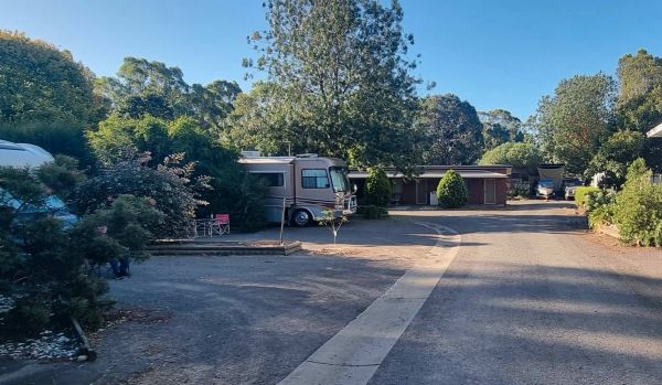
Honey Hush Caravan Park
Honey Hush Caravan Park
Honey Hush Caravan Park offers a practical and convenient stay in Laverton North, a western suburb of Melbourne. Located approximately 17 kilometres from the Melbourne CBD, it provides excellent access to major highways, making it ...
Read More...
,
Honeysuckle Caravan Village
Honeysuckle Caravan Village
Honeysuckle Caravan Village is a smaller, well-maintained park located in Violet Town, Victoria. Easily accessible from the Hume Freeway, it offers a quiet rural environment ideal for overnight stays or longer visits. The park ...
Read More...
, , , , , , ,
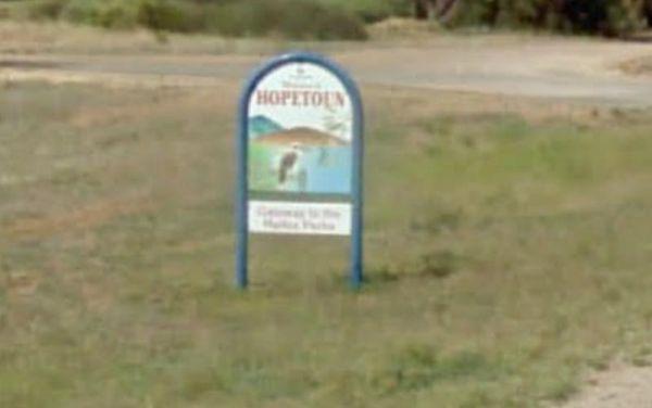
Hopetoun Rest Area
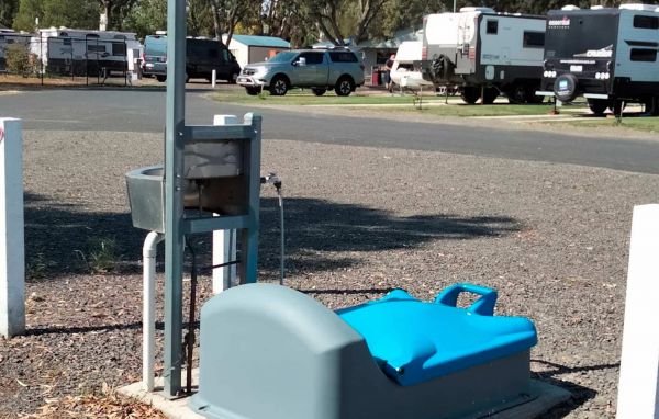
The Hopetoun Free Dump Point has now been installed into the rest area, you can take some time off driving, and stroll around the lake if your up to it.
, , , ,
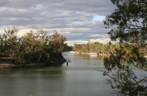
The Horseshoe Bend Camping Area has one long drop toilet, and lots of level ground to park your caravan next to the Murray River. This campsite is good for boating, skiing, and fishing or just plain relaxing. Plenty of spots along the Murray and not too f ...
Read More...
The Horseyard Flat Camping Area has a nice and the stunning walk to the Falls and gorge. There are lots of 4x4 tracks to explore, the lower campgrounds back right onto the Moroka River.
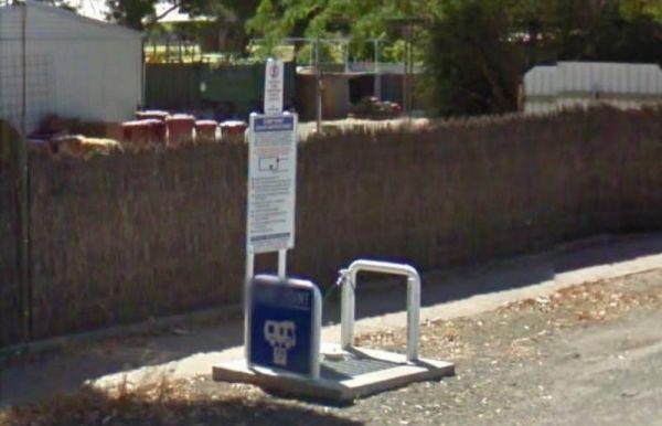
The Horsham - Free Dump Point is located in Firebrace Street just outside the Horsham Caravan Park and not far from the Wimmera River.
, ,
Horsham Riverside Caravan Park
Horsham Riverside Caravan Park offers a tranquil and convenient stay on the picturesque banks of the Wimmera River, adjacent to the Horsham Botanical Gardens. It's an ideal choice for travellers seeking accommodation in Hor ...
Read More...
, , , , , , , , , , , , , ,
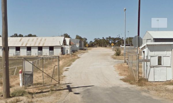
Nestled along McBryde Street in the heart of Horsham, Victoria, the Horsham Showground offers a convenient and comfortable camping experience with all the essentials. Ideal for travellers, grey nomads, and event-goers alike, this campsite provides two sep ...
Read More...
, , , , , , ,
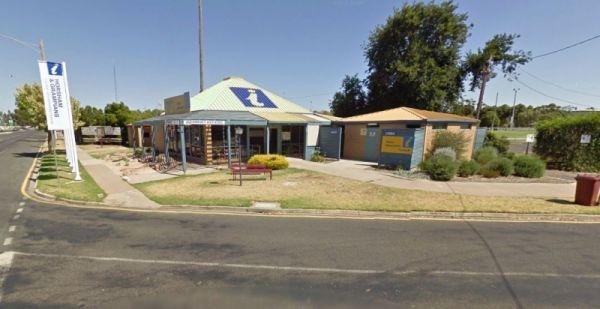
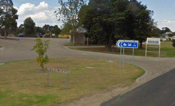
The Horsham Visitor Information Centre is well worth a visit if you intend to spend a couple of days in the region, and especially if it's your first visit to Horsham.
,
Set next to the Hospital Creek and just off the Princess Highway, Its a place to stop and have a BBQ at.
, ,
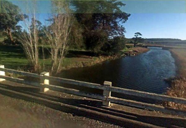
The Hotspur Bridge has a few good fishing spots, and it's on the banks of the Crawford River, with plenty of room to turn around. Bear in mind this place can get very boggy if it rains.
, ,
Howitt Park

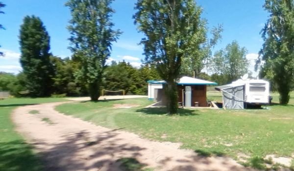
Howqua Valley Holiday Park
Howqua Valley Holiday Park is a picturesque lakeside retreat nestled on the shores of Lake Eildon, within Victoria's stunning High Country. Offering breathtaking views of the Howqua Valley, this family-friendly park provides a ...
Read More...
,  , , , , ,
  , , ,
, , ,  , , ,
, , ,  , ,
, ,