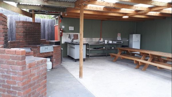
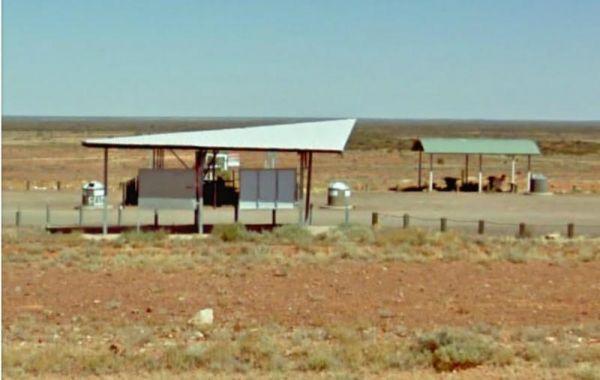
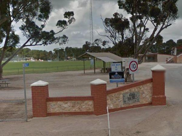
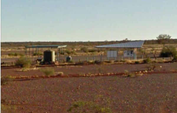
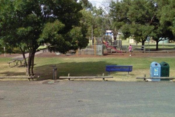
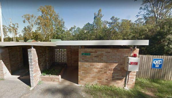
Facilities: Water Taps
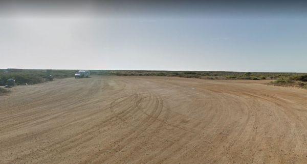
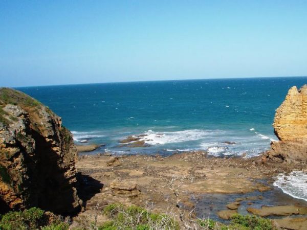
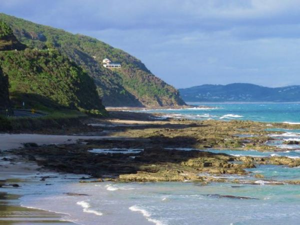
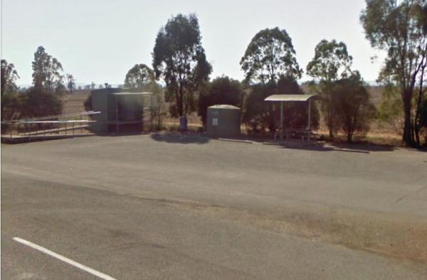
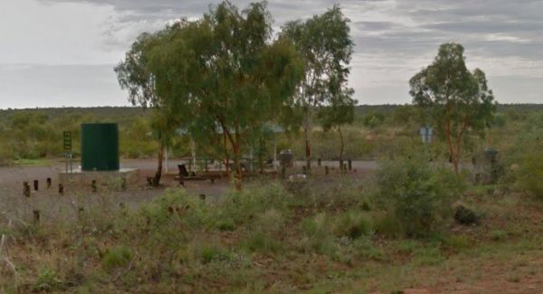
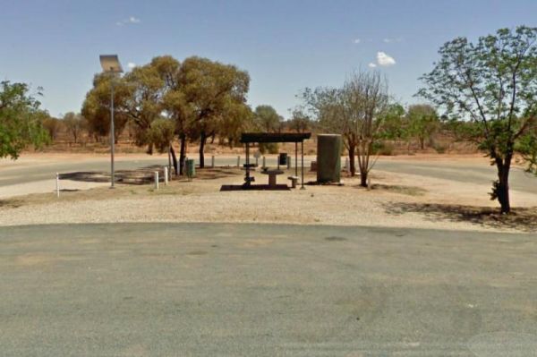
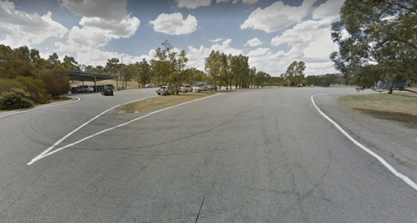
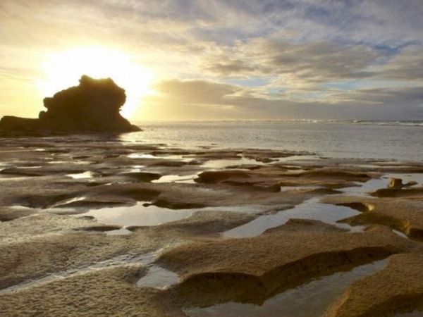
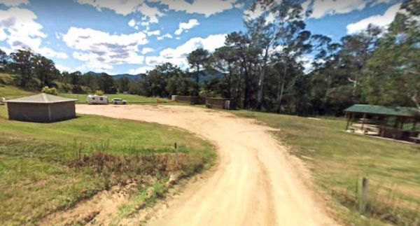
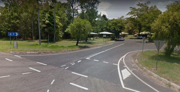
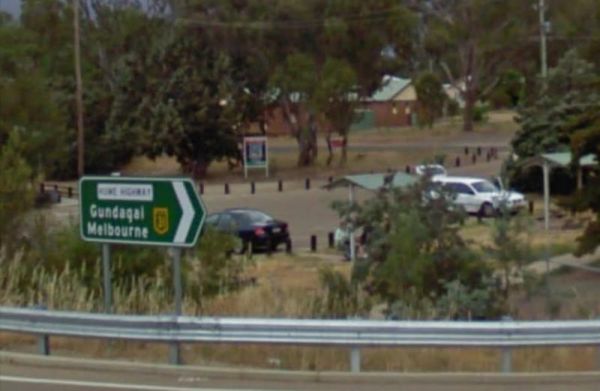
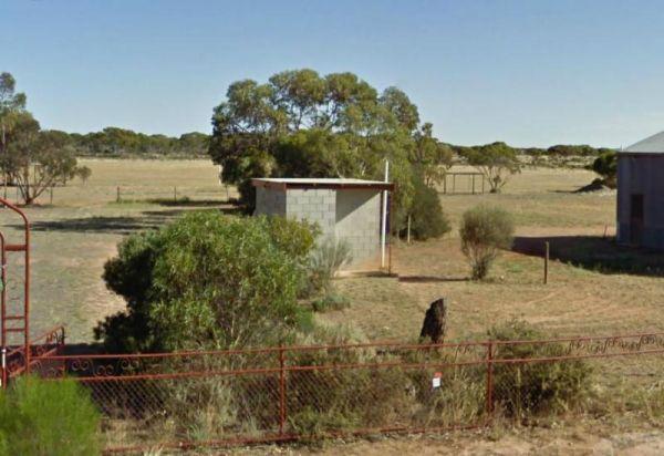
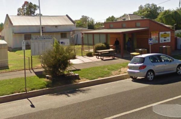
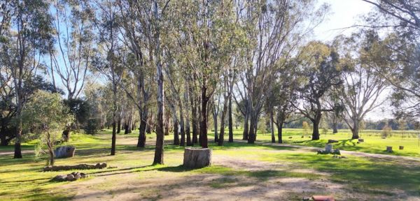
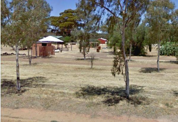
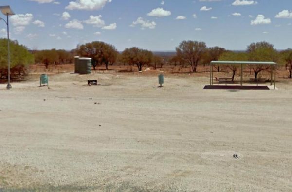
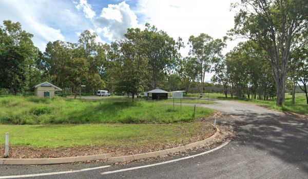
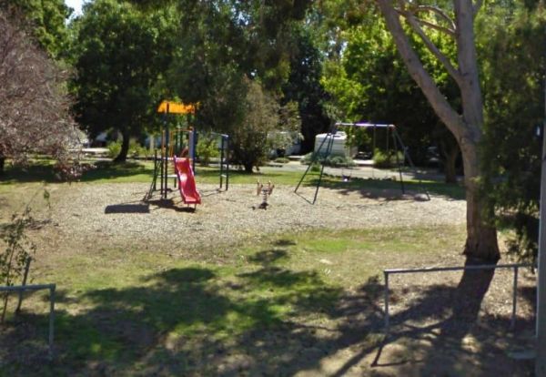
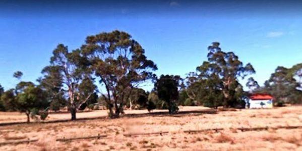
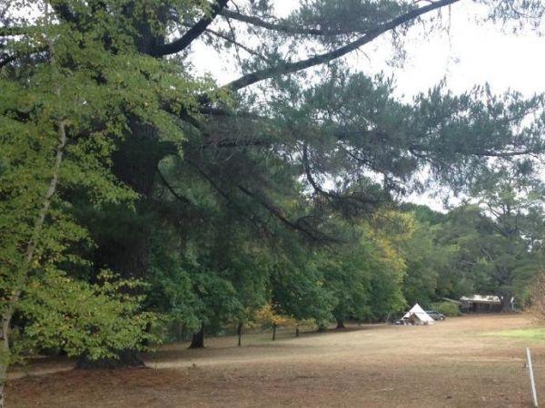
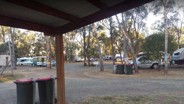
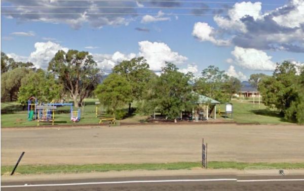
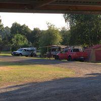
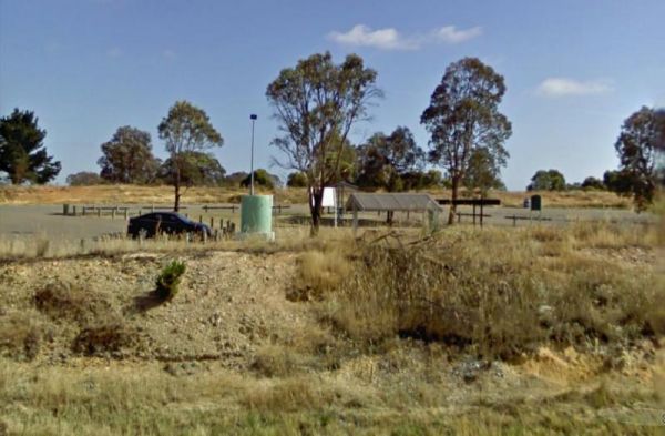
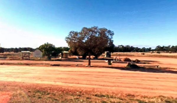
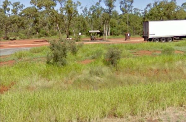
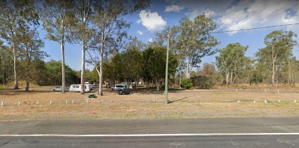
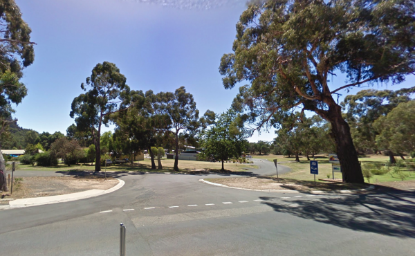
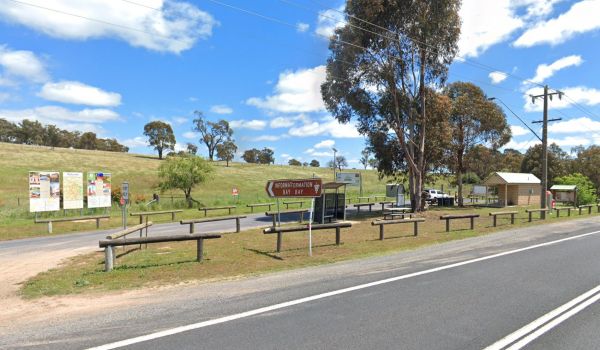
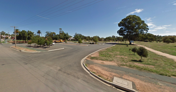
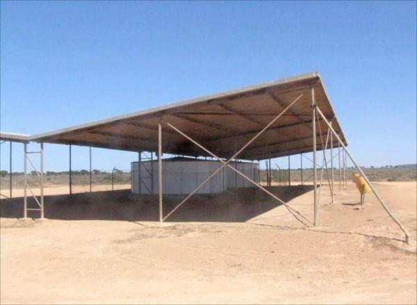
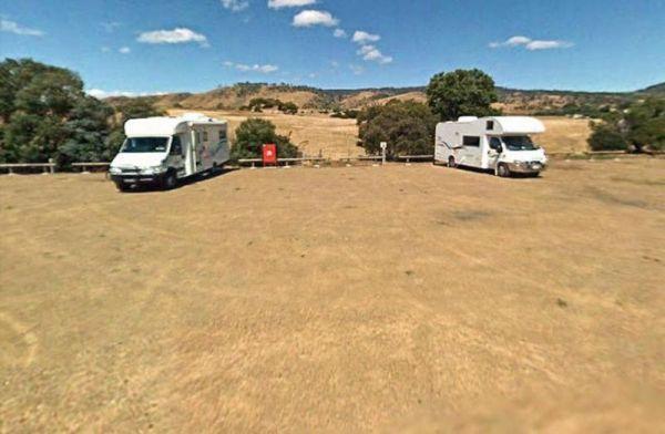
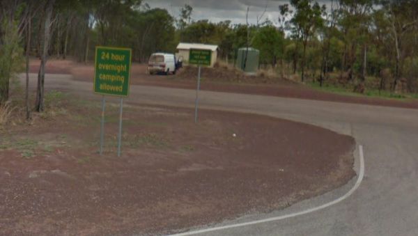
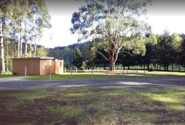
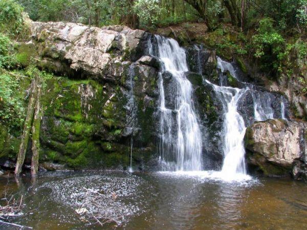
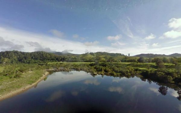
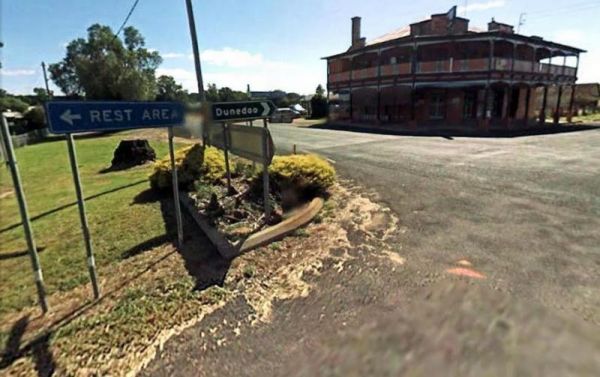
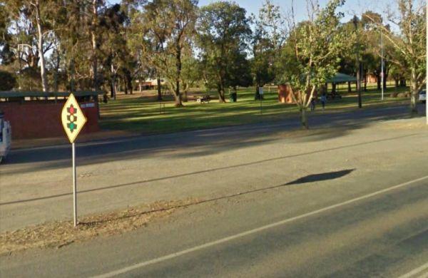
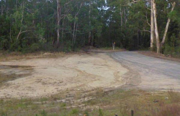
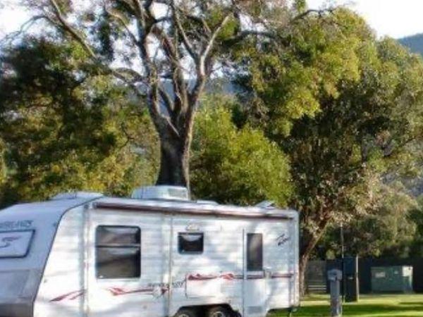
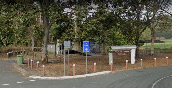
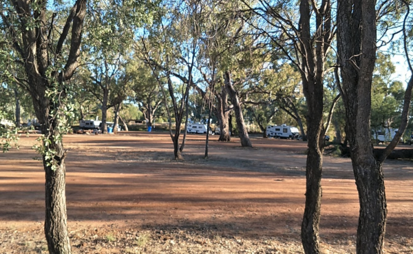
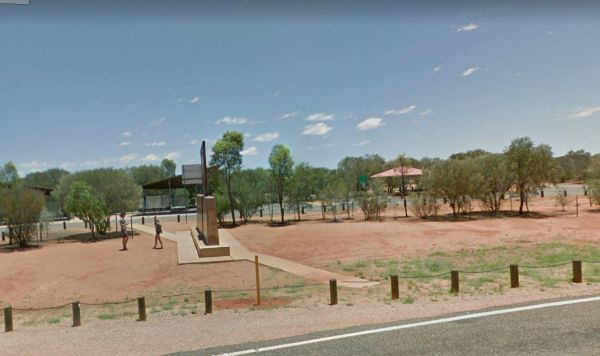
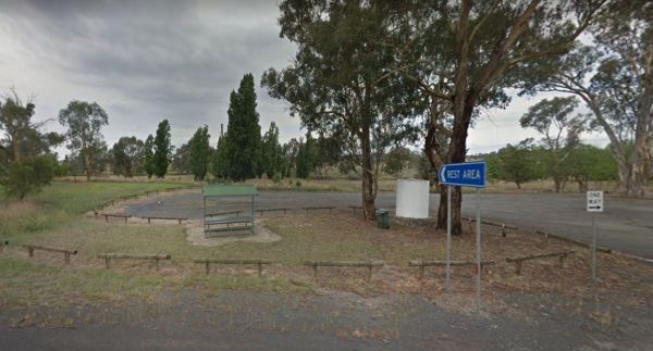
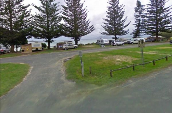
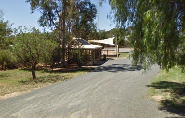
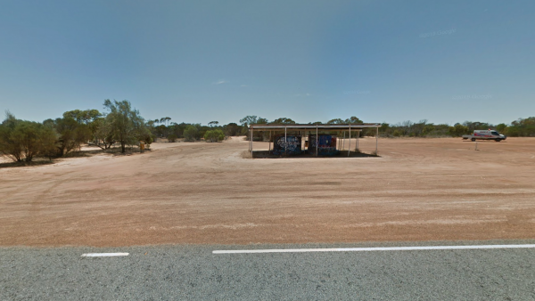
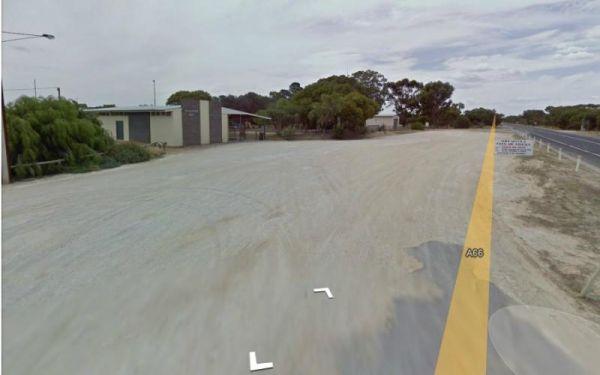
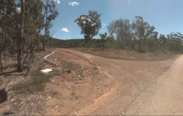
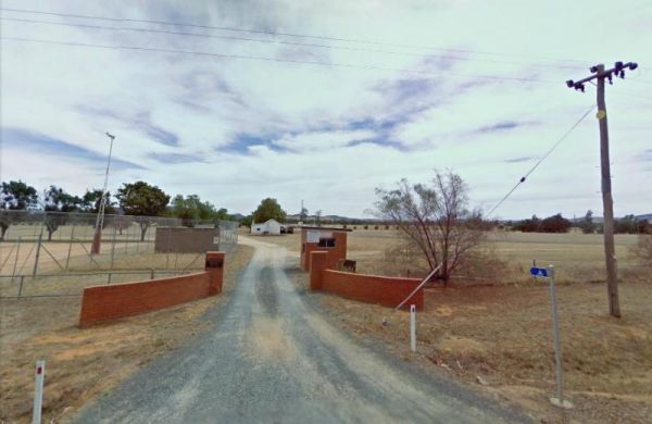
Entrance to the 52k Peg Rest Area 52k Peg Rest Area location map
 ,
, 
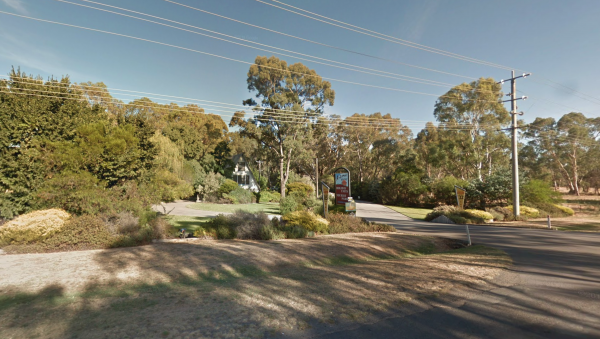
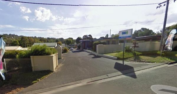
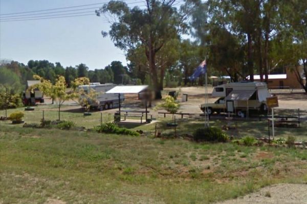
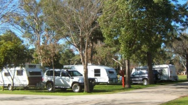
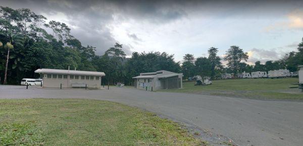
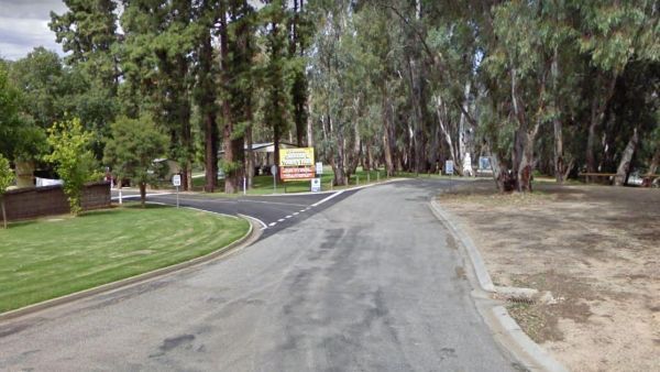
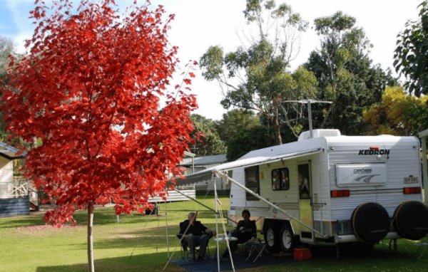
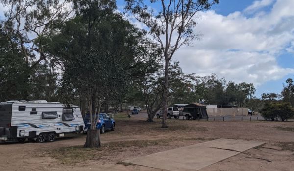
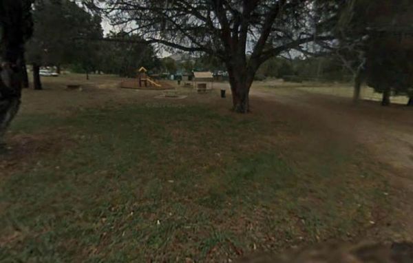
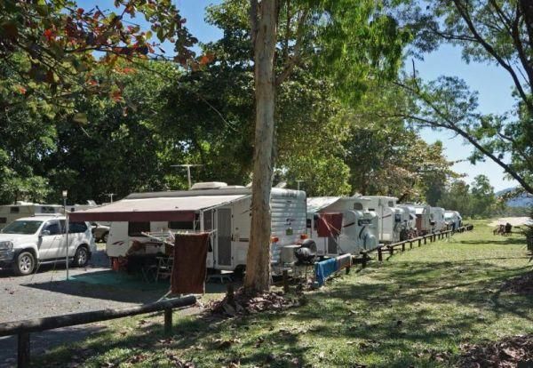
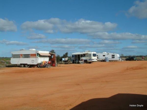
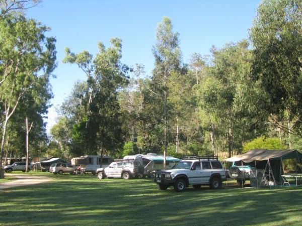
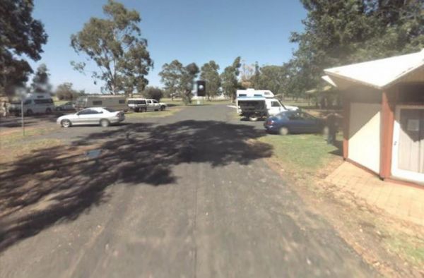
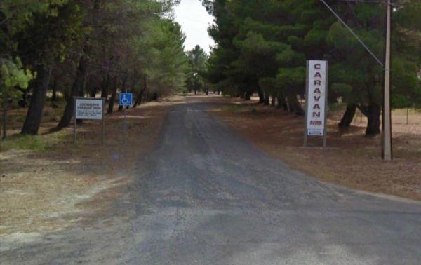
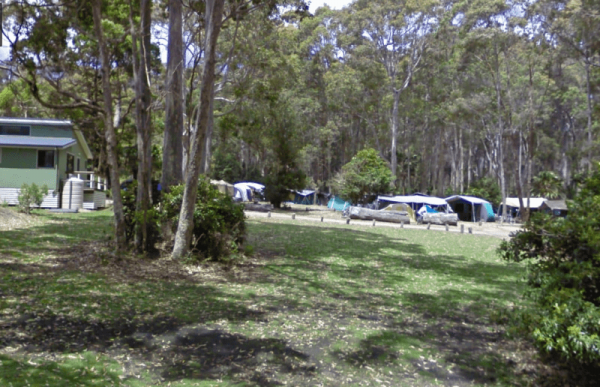
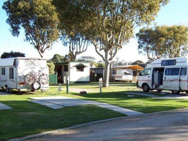
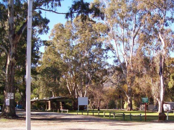
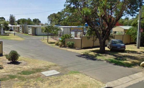
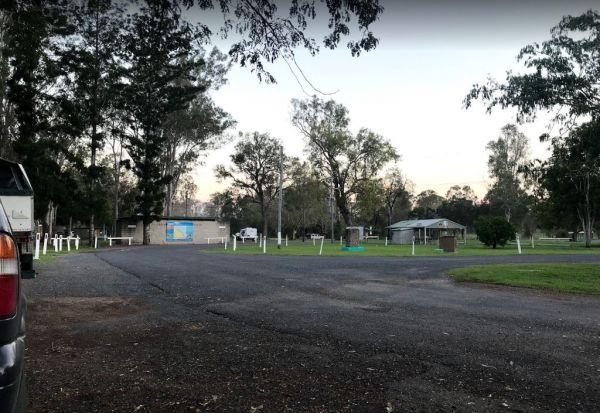
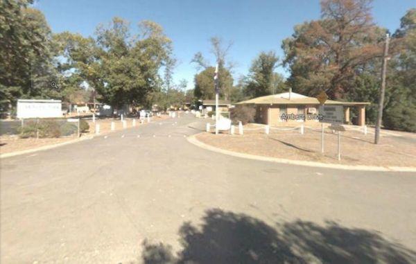
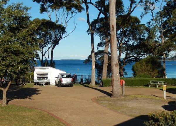
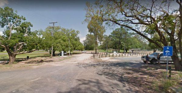
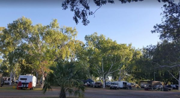
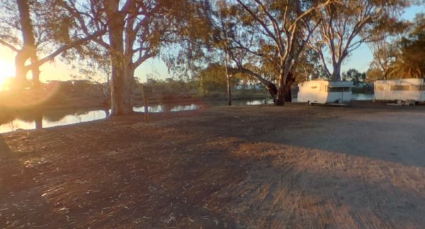
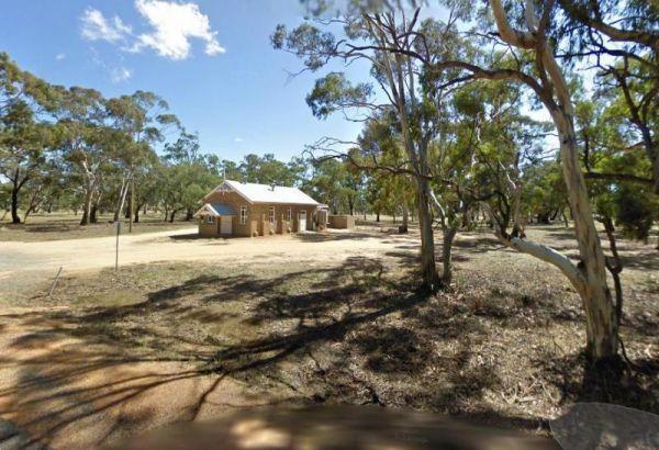
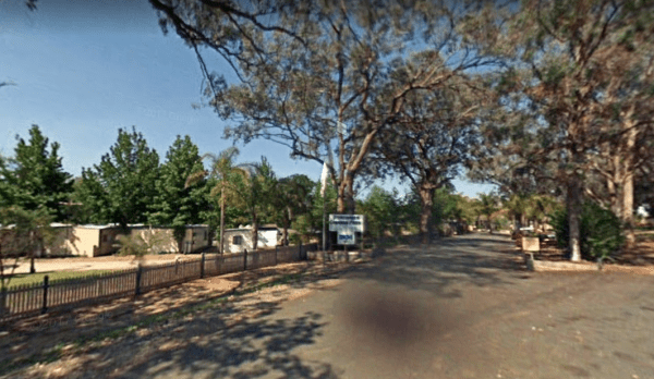
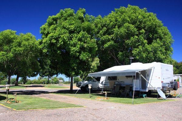
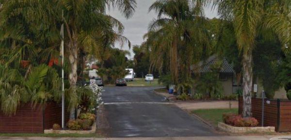
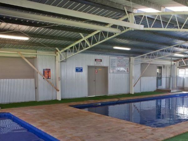
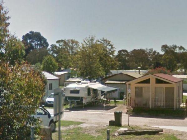
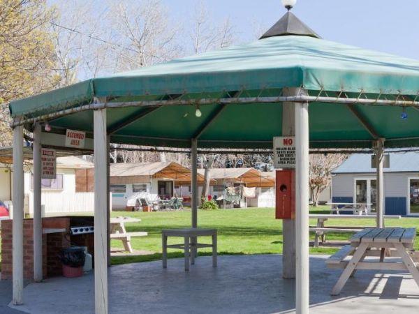
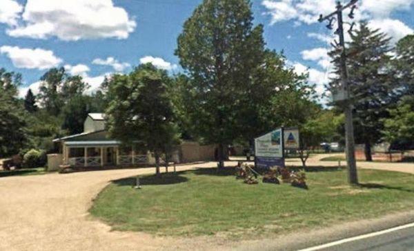
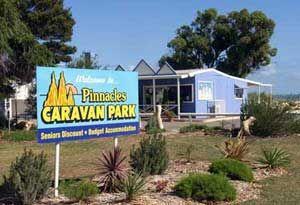
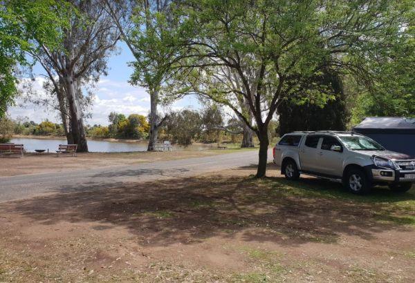
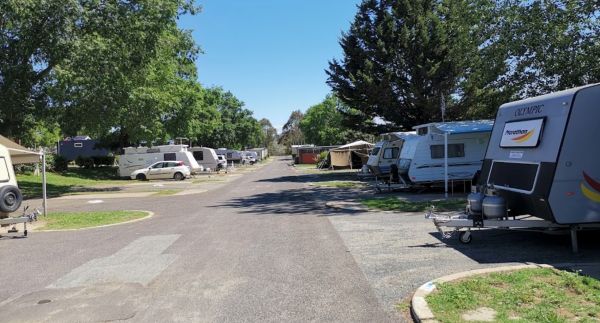
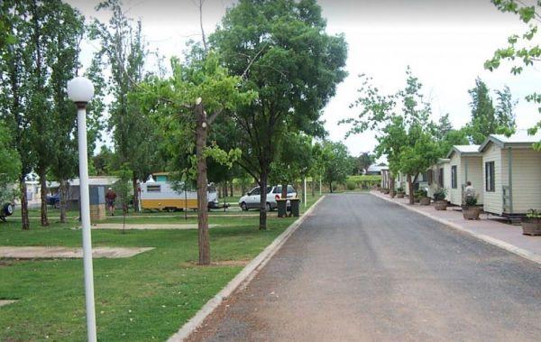
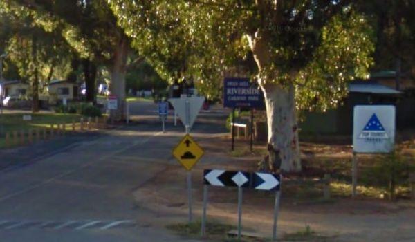
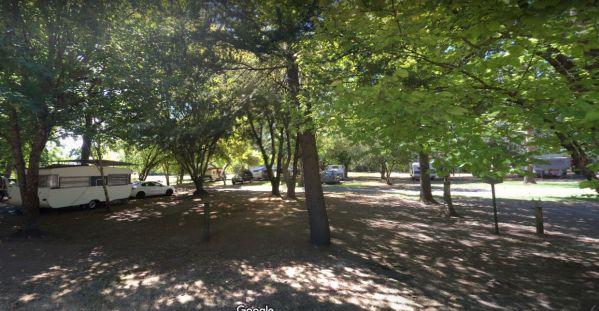
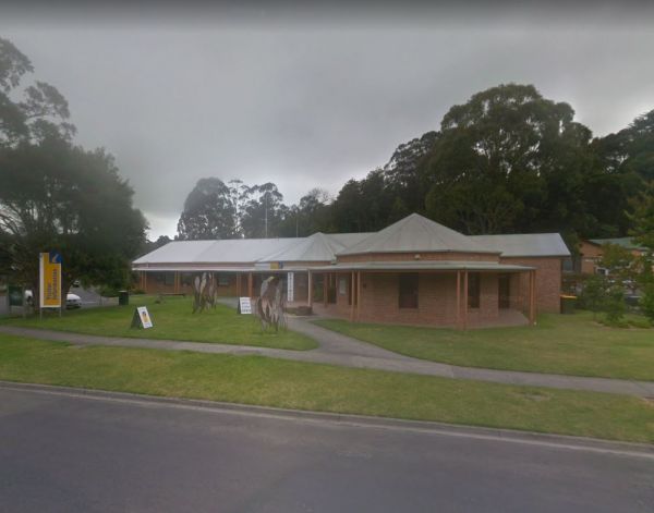
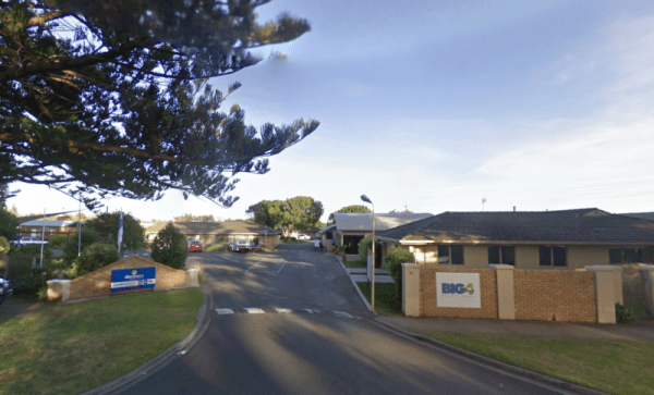
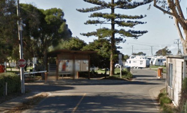
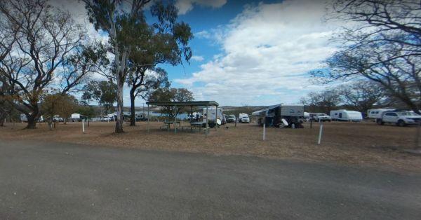
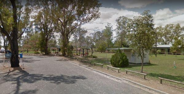
A-Line Holiday Park
{tab title="Local Places to Eat" class="grey"}
Red Pepper Cafe - Lansell Square, 267 High St, Kangaroo Flat
Jin Yang Chinese Restaurant, 180 High St, Kangaroo Flat
McDonald's Kangaroo Flat, 166-170 High St, Kangaroo Flat
Bee Yua ...
Read More...
 ,
,  ,
,  ,
,  ,
,  ,
,  ,
,  ,
,  ,
,
Local weather forecast for Ararat, Victoria: Weather report Ararat
, , , ,  ,
,  ,
,  , , , ,
  ,
,
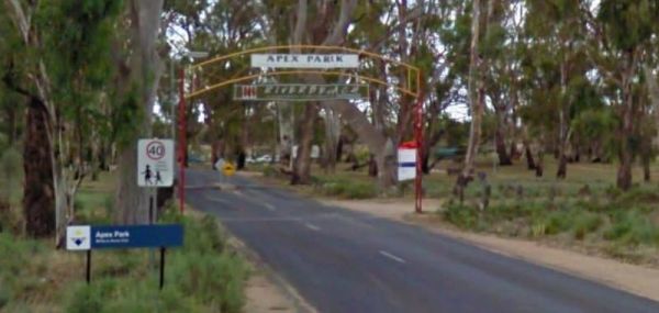
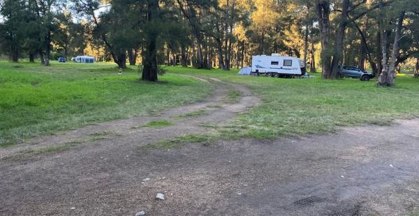
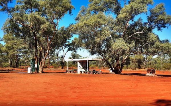
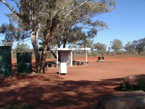
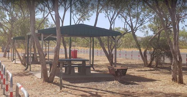
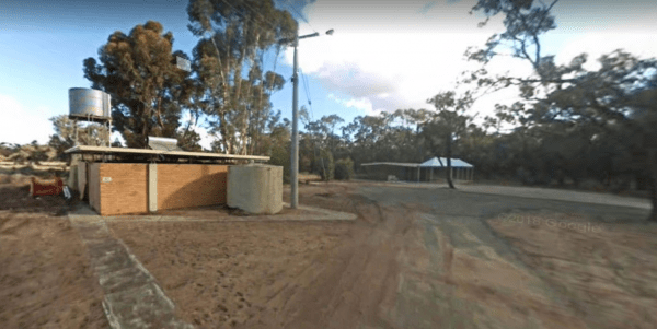
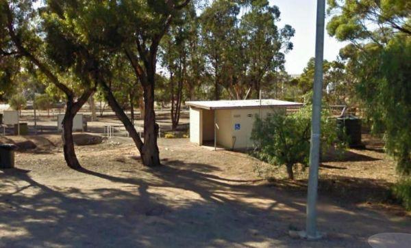
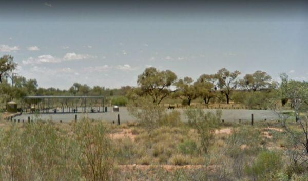
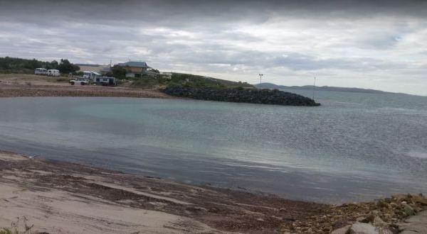
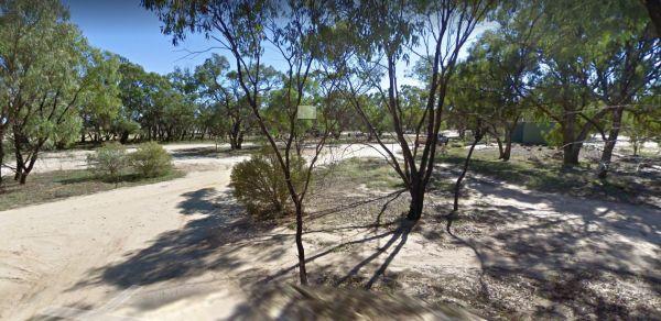
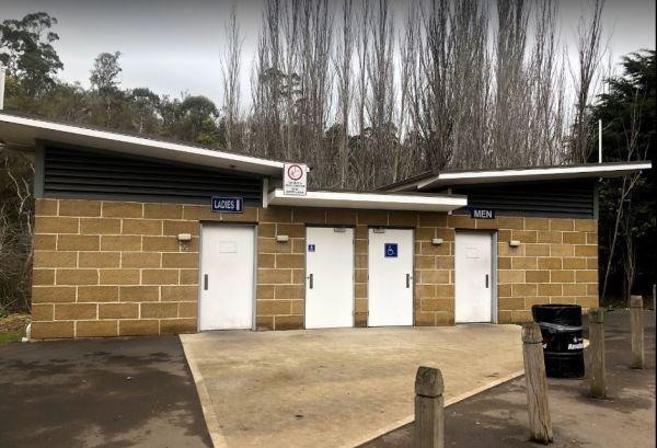
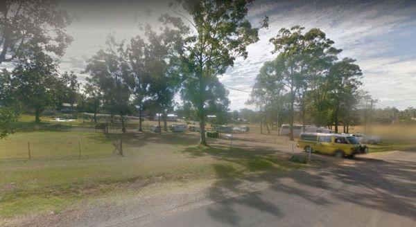
Aeroplane Parking Bay has a public toilet, picnic tables and rubbish bins and lots of room to park. This is perhaps not the best place for an overnight stay for your caravan or camper, as trucks use this halfway point between Sydney and Melbourne to meet ...
Read More...
,  , ,
, ,
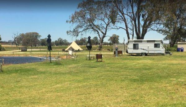
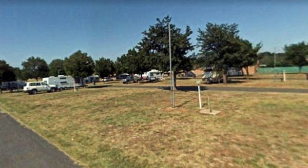
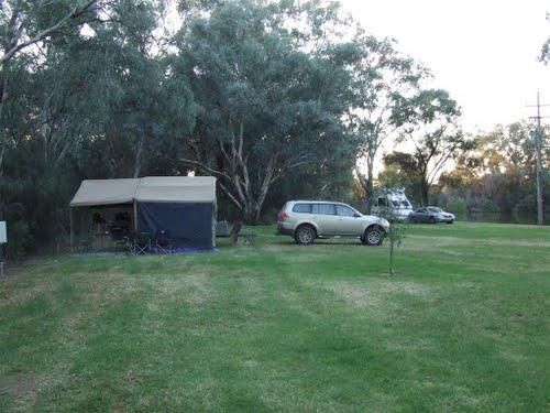
Aireys Inlet Holiday Park
Entrance to the Aireys Inlet Holiday Park Aireys Inlet Holiday Park location map
, , , ,  , , , , ,
  ,
,
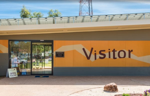
The Albury Visitor Information Centre has a Dump point located in car park, water taps also available. Open Hours:9.00am to 5.00pm everyday Entrance to the Albury Visitor Information Centre Albury Visitor Information Centre location map
, ,
Entrance to the Alice Springs Tourist Park Alice Springs Tourist Park location map
, , , , , ,  , , ,
, , , 

Very good pool area for young children, other activities include a recreation room, tennis court, cycling, basketball, volleyball and more.
Not suitable for Camper trailers that need to hammer pegs into the ground
Entrance to the Alivio Tourist Park ...
Read More...
,  ,
,  , ,
, ,  ,
,  , , , ,
  , , , , ,
  ,
,  , , ,
, , ,
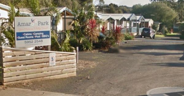
Entrance to the Amaroo Park Amaroo Park location map
, , ,  , , , ,

Entrance to the Anchor Belle Holiday Park Anchor Belle Holiday Park location map
, , , , ,  , , , , ,
Entrance to the Anglesea Beachfront Family Caravan Park Anglesea Beachfront Family Caravan Park location map
, , , , , , ,  ,
,  , ,
, ,  ,
,  , ,
, ,  , ,
, ,  , , , , ,
Entrance to the Anglesea Holiday Park BIG4 Anglesea Holiday Park BIG4 location map
, , , , ,  , , , , , , ,
Entrance to the Apex RiverBeach Holiday Park Apex RiverBeach Holiday Park location map
, , , , , , , , , ,

Apollo Bay Pisces Holiday Park Big4
Entrance to the Apollo Bay Pisces Holiday Park Big4 Apollo Bay Pisces Holiday Park Big4 location map
, , , , , , ,
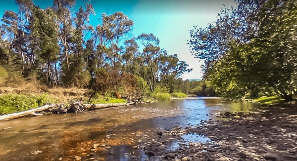
The Araluen Creek campground is a secluded camping spot with plenty of flat grassed ground, two public toilets, tank water, rubbish bins and is a nice quiet spot to enjoy a break from driving. Walk over to the creek "it's a seasonal flow" and have a walk ...
Read More...
, ,  , ,
, ,
The Ardlethan Rest Area has long drop toilets, picnic tables and rubbish bins. You will hear some road noise through the night from the Newell Highway. This rest spot straddles both sides of the Highway and it's popular with truck drivers.
Entrance to th ...
Read More...
, , , ,
Ariah Park Campground
This is an inexpensive place to stay, power is available, a camp kitchen plus you can get a hot shower. When pitching a tent or awning ropes take note that the ground is hard so you need strong pegs and a good hammer.
Entrance to the Ariah Park Campgroun ...
Read More...
, , , , , ,
Entrance to the Armidale Tourist Park Armidale Tourist Park location map
, , , , , , ,
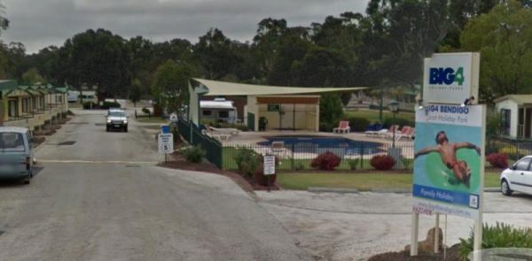
Ascot Holiday Park BIG4
Entrance to the Ascot Holiday Park BIG4 Ascot Holiday Park BIG4 location map
, , , , , , , , , , , , , , ,
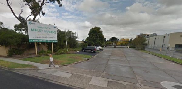
Entrance to the Ashley Gardens BIG4 Ashley Gardens BIG4 location map
, , , , , , , , ,
Attack Creek Rest Stop
Attack Creek Rest Stop has some history attached to this place, and there is a cairne plaque dedicated to John McDouall Stuart and party on what occurred on 25th June 1860 an it's well worth reading. There is plenty of room to park with a few trees for sh ...
Read More...
, , , ,
Entrance to the Austin Tourist Park Austin Tourist Park location map
, , , , , , , ,
Avoca Shire Turf Club
NOTE: Camp-sites are only available for these two race meetings, and this site is closed to camping for the rest of the year. So Book Now, for the 3rd Saturday in October Avoca Cup same day as the Caulfield Cup, and secure you spot ...
Read More...
, ,

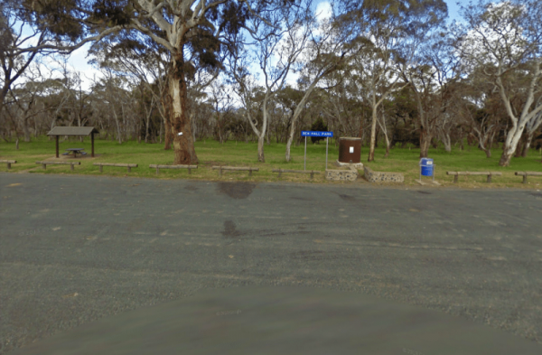
The Baan Hill Reserve Picnic Area is a popular spot for the 4x4 enthusiasts not far from the Ngarkat Conservation Park HIstoric site. Baan Hill Reserve Picnic Area location map
, , , ,
The Babinda Rotary Park Campground has picnic tables, rubbish bins and a toilet block a blackwater dump point next to it, there is also a potable water tap in the shower room. The park is on the banks of the Babinda Creek with plenty of room to park all s ...
Read More...
, , , , , , ,
The Baden Park Rest Area has plenty of parking spaces, long drop toilet, wood fired bbq, undercover picnic table with rubbish bins and tank water. There's really not a lot to do here, apart from taking a break from driving, and contemplate how hard it was ...
Read More...
, , , , ,
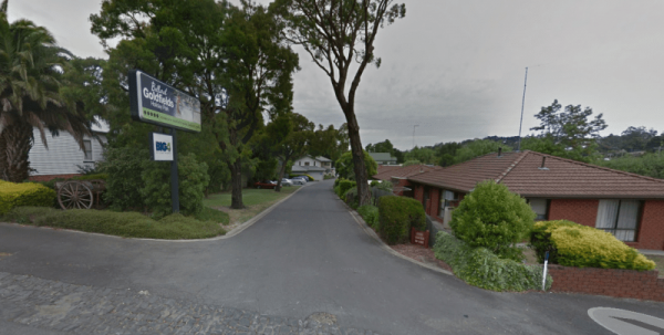
Entrance to the Ballarat Goldfields Holiday Park Big4 Ballarat Goldfields Holiday Park location map
, , , , , , , , , ,
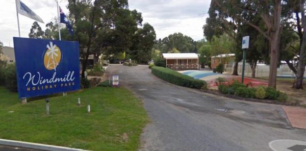
Entrance to the Ballarat Windmill Holiday Park BIG4 Ballarat Windmill Holiday Park BIG4 location map
, , , , , , , , , ,
Entrance to the Balmattum Rest Area (Northbound) Balmattum Rest Area (Northbound) location map
, , , ,
Balranald Visitor Information Centre Open Hours:9am to 4.30pm Mon to Fri9am to 1pm Sat & Sun Free 24 hour RV Parking Entrance to Balranald Visitor Information Centre. Balranald Visitor Information Centre location map.
, , ,
The Barbour Park is a beautiful place by the river and plenty of room to park your caravan. There are free bbqs, toilets & hot showers, and swimming pool accross the road and you can walk to the main shopping centre on the Old Hume Highway, and spend ...
Read More...
, , , , , ,
Entrance to the Barham Caravan & Tourist Park. Barham Caravan & Tourist Park location map
, ,  , , , , , , ,
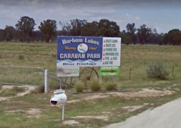
Entrance to the Barham Lakes Caravan Park Barham Lakes Caravan Park location map
, , , , , , , , , , , , ,
The Ocean is within a hop skip and a jump from the Barkers Rocks Camping Area.
Note: The Yorke Peninsula Council are now charging fees to stay here from the 24 January 2021
Entrance to the Barkers Rocks Camping Area
Barkers Rocks Camping Area locatio ...
Read More...
, ,
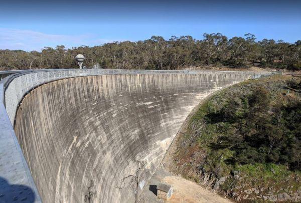
Barossa Reservoir Whispering Wall
You will find the Barossa Reservoir Whispering Wall (Dam wall) was built between 1899 and 1903 its almost a perfect acoustic wall, with sound travelling along its full length using your normal voice levels. Free Entry
Entrance to the Barossa Reservoir Wh ...
Read More...
, , , ,
The Barraba Lions Park Rest Area is a credit to the Lions and Shire council. This is pleasant little area adjacent the main road, offering a bit of shade and covered picnic tables, bbqs and long drop toilets.
Entrance to the Barraba Lions Park Rest Area ...
Read More...
, , , , , ,
Entrance to the Beach Park Tourist Caravan Park Beach Park Tourist Caravan Park location map
, , , , , , , , ,
Beacon Resort BIG4
Entrance to the Beacon Resort BIG4 Beacon Resort BIG4 location map
, , , , , , , , , , , , ,
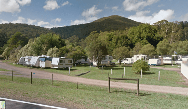
Beechworth Holiday Park
Entrance to the Beechworth Holiday Park Beechworth Holiday Park location map
, , , , , , , , , , ,
Beechworth Lake Sambell Caravan Park
Entrance to the Beechworth Lake Sambell Caravan Park Beechworth Lake Sambell Caravan Park location map
, , , , , , , , , , , ,
Bellarine Holiday Park BIG4
Entrance to the Bellarine Holiday Park BIG4 Bellarine Holiday Park BIG4 location map
, , , , , , , , , , , ,
Entrance to the Bemboka Rest Area Bemboka Rest Area location map
, , , , , , ,
The Ben Hall Park Rest Area is on the main Highway just before the ACT border, with a few covered picnic tables and bins, and some trees spread out if you feel like stretching your legs.
Entrance to the Ben Hall Park Rest Area
Ben Hall Park Rest Area ...
Read More...
, ,
At the Benaraby Public Campgrounds there are cold showers available, tap water, a public toilet, picnic tables, bbqs, some rubbish bins and you can get phone reception here.
Entrance to the Benaraby Public Campgrounds
Boyne River Rest Area location ma ...
Read More...
, , , , , , ,
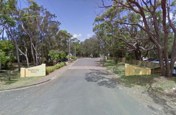
Entrance to the Holiday Haven Bendalong Holiday Haven Bendalong location map
, , , , , , , , ,
The Bendemeer Apex Park Rest Area is a nice spot near to local services, with lots of picnic tables both under shade and under cover. Garbage bins and toilets are there, along with picnic tables and a bbq, plus a completely fenced children playground. The ...
Read More...
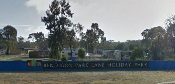
Entrance to the Bendigo Park Lane Holiday Park Bendigo Park Lane Holiday Park location map
, , , , , , , , , , , , , ,
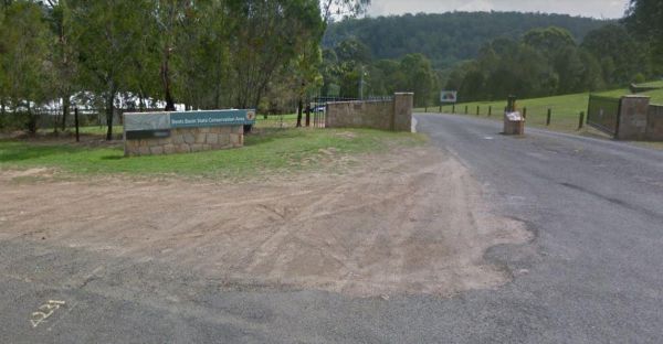
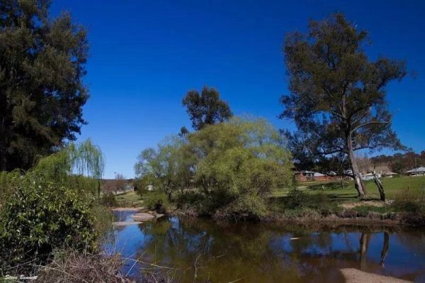
Bents Basin Campground has nice open areas, lots of areas to setup a tent, caravan, camper trailer or for a day visit. Lots of areas to choose a campsite, there are fire pits, clean toilets with hot showers too. The Nepean River is close by if you want to ...
Read More...
, , , ,
Best Friend Holiday Retreat
Entrance to the Best Friend Holiday Retreat Best Friend Holiday Retreat location map
, , , , ,
Entrance to the Bicheno Caravan Park & Takeaway Food Bicheno Caravan Park & Takeaway Food location map
, , , , , ,
The Bilyana Rest Area has all requirements needed with a rest area it has a public toilet, and undercover picnic tables with a few rubbish bins and room to park your caravan. This rest area can get quiet busy with grey nomads.
Entrance to the Bilyana Res ...
Read More...
, ,
At the Binalong Rest Area you can take a swim in the swimming pool, have a BBQ or let the kids play on the playground, perhaps take a stroll along the streets and checkout the neighbourhood.
Entrance to the Binalong Rest Area
Binalong Rest Area locati ...
Read More...
, , , , ,
Black Springs Rest Area
Entrance to the Black Springs Rest Area Black Springs Rest Area location map
, , ,
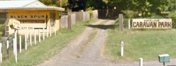
Black Spur Motel & Caravan Park
Permanently Closed Entrance to the Black Spur Motel & Caravan Park Black Spur Motel & Caravan Park location map
, , , , , ,
Entrance to the Blind Joe Creek Rest Area Blind Joe Creek Rest Area location map
, , ,
The Bluewater creek runs alongside the Bluewater Park Rest Area is a lovely park area with a clean toilet block and dump point, picnic tables plus a playground for the kids, so check it out while your there.
Entrance to the Bluewater Park Rest Area
Bl ...
Read More...
, , , , , , ,
Visiting Bluff Creek Camping Area during springtime, is a great time to take the walking trail to see the Bluff Falls, there is only 5 suitable spots for caravans. Bluff Creek Camping Area location map
Bluff Rock Lookout is an impressive rock feature with a sad Aboriginal story of a massacre that took place in 1884. There is room to park your caravan, long drop toilets, bbqs, undercover picnic tables and rubbish bins, and a pretty creek with some nice r ...
Read More...
, , , ,
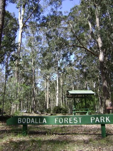
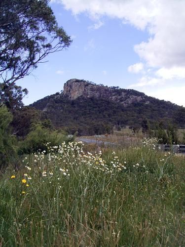
Bodalla Park Rest Area is an awesome spot, great facilities and close to town, and good for caravans and camper vans. There are also some large flat gravel sites to accommodate large caravans and car, and plenty of nice grassy areas to pitch tents. Long d ...
Read More...
, , , ,
The Bon Bon Rest Area is set back from the Stuart Hwy this rest stop has a public telephone, toilets, an undercover picnic table, rubbish bins and an emergency supply of drinking water, as with all tank water, its best to boil your water first before drin ...
Read More...
, ,
The Bonnie Vale Campground has powered and unpowered sites suitable for tents, trailers, and caravans.Located btw Bundeena and Maianbar at the Royal National Park, Swimming, kayaking and fishing are all perfect in these waters.
Note: This campsite can ge ...
Read More...
, , , ,
If your at the Bookham Park Rest Area has flushing public toilets with wheelchair access, undercover picnic tables and ample shade for travellers to park under. While your here pop over and take a look at the old Church while your in Bookham, It's just ac ...
Read More...
, ,
Entrance to the Boort Lakes Holiday Park Boort Lakes Holiday Park location map
, , , , ,  , , , , , , , , , , ,
Entrance to the Borderland Caravan Park BIG4 Borderland Caravan Park BIG4 location map
, , , , , , , , , , , , , , , , , ,
Entrance to the Bowen South Rest Area Bowen South Rest Area location map
, , , ,
The Bower Rest Area is located next to tennis courts and town hall. A public toilet is onsite and some tank water. Entrance to the Bower Rest Area Bower Rest Area location map
, , , ,
Bramston Beach Campground
The Bramston Beach Campground is Council Run and Bookings are made direct to the Caretakers. Ph: Caretaker on (07) 4067 4121 Entrance to the Bramston Beach Campground Bramston Beach Campground location map
, , , ,
Branxholme Rest Area
The Branxholme Rest Area is an ideal rest area, with excellent shady areas on the highway. The shady parking bay on the highway has been developed as a commemorative area for soldiers lost during World War One. Byaduk is home to the magnificent Byaduk cav ...
Read More...
, , ,
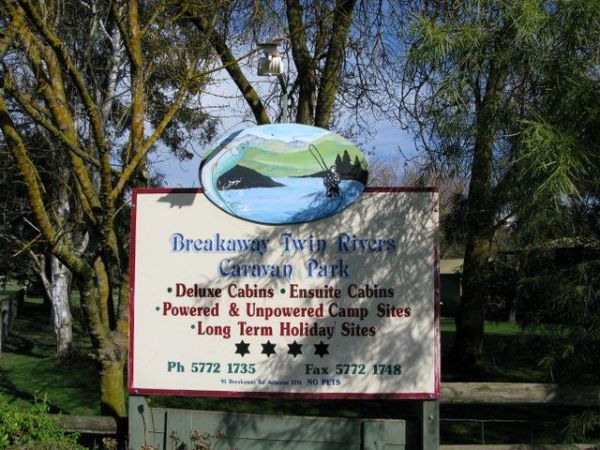
Breakaway Twin Rivers Caravan Park location map
, , , , , , , , , ,
Bridgewater on Loddon Rest Area
The Bridgewater on Loddon Rest Area has a public toilet, and plenty of room to park your camping rigs. When reasonable water levels flow, the Mill Rapid downstream of the Calder Hwy bridge provides technical whitewater kayaking of Grade 3 standard featuri ...
Read More...
, , ,
Bridgewater on Loddon Tourist Park
Entrance to the Bridgewater on Loddon Tourist Park Bridgewater on Loddon Tourist Park location map
, , , , , , , ,
Entrance to the Bright Accommodation Park Bright Accommodation Park location map
, , , , , , , , , ,

Entrance to the Bright Freeburgh Caravan Park Bright Freeburgh Caravan Park location map
, , , , , , , , , , , ,
The Bright Riverside Holiday Park is located on right the banks of the Ovens River, with plenty of poewed and unpowered sites with riverfront views, the only drawback is it close proximity to HT powerlines buzzing overhead.
Entrance to the Bright Riversi ...
Read More...
, , , , , , , ,
Broken Creek Bush Camp
Entrance to Broken Creek Bush Camp Broken Creek Bush Camp Location Map
, , , , , ,  ,
,
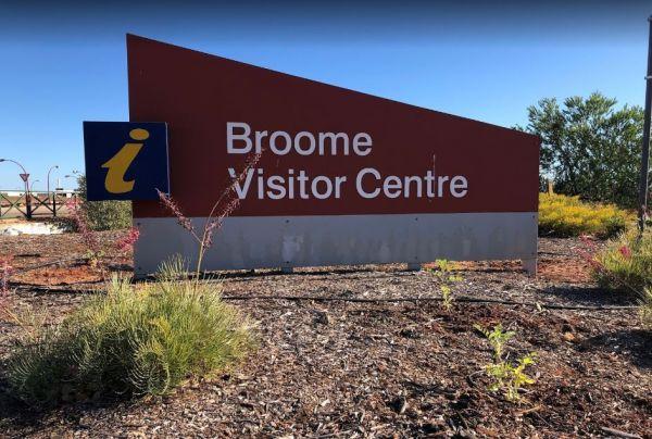
Entrance to the Broome Visitor Information Centre Broome Visitor Information Centre location map
, , ,
Browns Flat Rest Area Southbound with plenty of parking for both light and heavy vehicles. There are flushing public toilets with wheelchair access, covered picnic tables and rubbish bins. The stop is a large area with plenty of room for large caravans mo ...
Read More...
, , ,
The Bulla Park Rest Area has plenty of room to park your caravan with some small trees for shade. There is an undercover picnic table, wood fired bbq facilities and rubbish bins. This is a located in a desolate countryside, don't wander too far away from ...
Read More...
, , ,
Burracoppin Centenary Park
The Burracoppin Centenary Park has flushing public toilets, some shade trees, undercover picnic tables, bbqs, water taps and just across from the Tavern where you can grab a cold drink to help wash away the dust. This park is on the corner of Great Easter ...
Read More...
, , , , ,
Burren Junction Baths Reserve Camping Area
Burren Junction Baths Reserve Camping Area has plenty of room to park your caravan at this is an Iconic mineral bath. There are public toilets and showers, picnic tables and rubbish bins, plus the council ranger collects camping fees daily.
Entrance to t ...
Read More...
, , ,
Bushy Parker Park Rest Area 48 Hour Limit
The Bushy Parker Park Rest Area has flushing public toilets and a blackwater dump point, water taps connected to town water, picnic tables, bbqs next to a beautiful creek. The local store and police station are just down the road. Understandably this is a ...
Read More...
, , , , , , ,
Entrance to the Calder Tourist Park Calder Tourist Park location map
, , , , , , , , ,
At the Caltigeena Rest Area you can haul your rig in here and take a break from driving in the heat. There is no shade to speak of, but the picnic table is under cover, and plenty of space to park.
Entrance to the Caltigeena Rest Area
<h3>Caltigee ...
Read More...
, ,
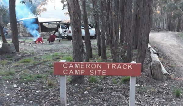
Cameron Track Camping Area
Cameron Track Camping Area is a good place to get your Hiking Boots on, and tackle a few of the walks, don't forget to take your camera with you. Cameron Track Camping Area location map
, ,
Water is limited at the Campaspe River Rest Area, the river runs at trickle in the river most times, and it's worth the time to walk over and take a peek. This location is quite a popular rest area, so expect company if you decide to stay overnight.
Entr ...
Read More...
, , , ,
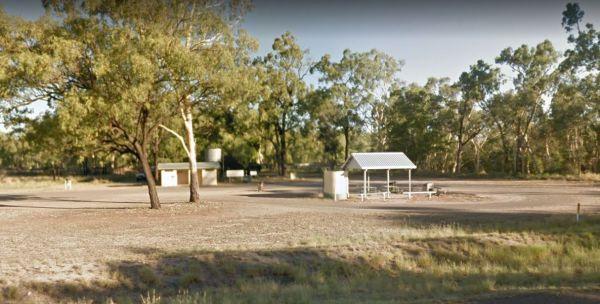
Entrance to the Canberra Park Canberra Park location map
, , ,
Cania Gorge Tourist Retreat do not permit Portable Generators to be used in the Park. Cania Gorge Tourist Retreat location map
, , , , , , , ,
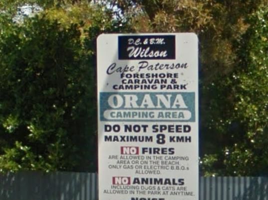
Cape Paterson Foreshore Caravan Park
Entrance to the Cape Paterson Foreshore Caravan Park Cape Paterson Foreshore Caravan Park location map
, , , , , , , , ,
Entrance to the Capital Country Holiday Park Capital Country Holiday Park Location Map
, , , , , , , , , , ,
The Carcoar Dam Water Reserve Camping Area has onsite power is supplied for Hair dryers and Shavers the outlets are in the Amenities Block.
Note: The available showers are not heated, so be forewarned if you intend to have a shower in the middle of winte ...
Read More...
, , ,
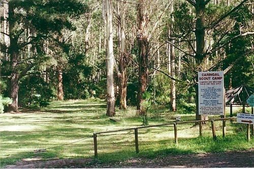
Caringal Scout Camp - Tanjil Tyers State Forest Located 29kms NE Moe or 2kms south of Erica, 7km dirt road.This camp is surrounded by natural bush and is set on the Tyers River.Open to the public year round for camping and day access.Note: A small fee app ...
Read More...
, ,
Castlemaine Gardens Caravan Park
Entrance to the Castlemaine Gardens Caravan Park Castlemaine Gardens Caravan Park location map
, , , , , , , , , , , , ,
The Casuarina Sands Reserve is a really great place to swim in freshwater then have a bbq, and undercover picnic tables, then use the public toilets. This picnic area is located on the banks of the mighty Murrumbidgee River.
Entrance to the Casuarina San ...
Read More...
Cavendish Recreation Reserve Camping Area has Power available along with Hot Showers. (Thanks goes to Mike Wright for this updated information.) Important: Due to Covid-19 All campers must be fully self contained (Toilet, Shower, cooking etc) until furthe ...
Read More...
The Ceratodus Rest Area is on the banks of the Burnett River, There is a railway building that has been moved onsite, undercover picnic tables and rubbish bins, so you can refresh oneself, ready for the next destination.
Entrance to the Ceratodus Rest Ar ...
Read More...
, ,
Charlton Gordon Park has the Avocca River running alongside the park area To camp here your rig must have it's own toilet facilities, as you cannot use the park amenities. Entrance to the Charlton Gordon Park Charlton Gordon Park location map
Chiltern Park Rest Area has a short walk to some historic Gold diggings and an undercover bbq, picnic tables and public toilet, with plenty of room to park your caravan.
Entrance to the Chiltern - Ironbark Rest Area
Chiltern - Ironbark Rest Area locat ...
Read More...
, , , ,
If stopping at the Chowne VC Memorial Rest Area it's worth your time to read as to whom this site is named after, and understand how a brave man died for his country. This rest spot has a public toilet, tank water, some undercover picnic tables and a few ...
Read More...
, ,
Entrance to the Clunes Caravan Park Clunes Caravan Park location map
, , , , , , ,
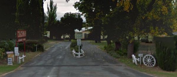
Entrance to the Coachman Tourist Park Coachman Tourist Park location map
, , , , , , , , , ,

Entrance to the Coalfields Caravan Park Coalfields Caravan Park location map
, , , , , , , , ,
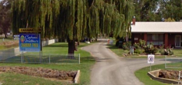
Entrance to the Cobram Willows Caravan Park Cobram Willows Caravan Park location map
, , , , , , , , , , ,
Entrance to the Cohuna Waterfront Holiday Park Cohuna Waterfront Holiday Park location map
, , , , , , , , , , , , , , , , ,
Conara Roadside Park Rest Area why not pop in and take a short break, walk down to the main town for a bit of exercise, pass 33 or so houses, and you’ve seen it all. And the Railway Station.
Entrance to the Conara Roadside Park Rest Area
Conara Roadsi ...
Read More...
, , ,
Coo-Ee March Memorial Park is a good rest stop option along the Newell Highway. Some shady trees, covered picnic tables and benches and public toilet and rubbish bins, next to the historical society building.
Entrance to the Coo-Ee March Memorial Park ...
Read More...
, , , ,
Cooee Point Reserve toilets are a real ramshackle affair, well worth taking the camera just to show your friends how you had to rough it while camping. Entrance to the Cooee Point Reserve Cooee Point Reserve location map
, , , ,
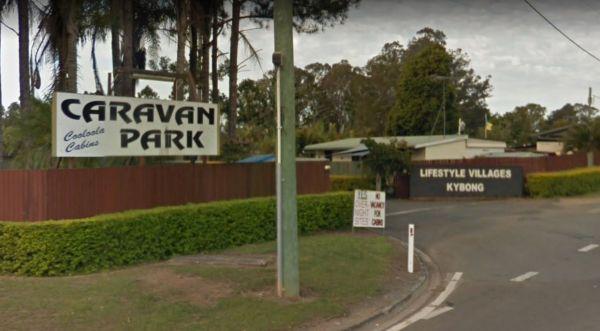
Entrance to the Cooloola Caravan Park Cooloola Caravan Park location map
, , , ,
The Coonalpyn Soldiers Memorial Caravan Park is an older style park, but everything thing you need is available here, and very reasonably priced.
Entrance to the Coonalpyn Soldiers Memorial Caravan Park
Coonalpyn Soldiers Memorial Caravan Park locatio ...
Read More...
, , , , , , ,
Coonawarra Bush Holiday Park
Entrance to the Coonawarra Bush Holiday Park Coonawarra Bush Holiday Park location map
, , , , , , ,
The Coraki Riverside Caravan Park is close to shops and right on the Richmond river. Great for bike rides, fishing, kayaking, boats etc. There is also an off leash dog area
The Coraki Art Festival - October each year
Entrance to the Coraki Riverside ...
Read More...
, , , , , ,
The Cotter Campground is located on the banks of the Cotter River with access to fishing, swimming and quite a bit of wildlife including emus and kangaroos, and there are walking tracks available. This campsite has bbs, fireplaces, potable water, hot show ...
Read More...
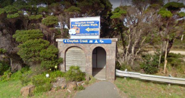
Crayfish Creek Van and Cabin Park
The Crayfish Creek Van and Cabin Park has good facilities and they have an after hour phone number available plus an on site manager 24 hours a day. Entrance to the Crayfish Creek Van and Cabin Park Crayfish Creek Van and Cabin Park location map
, , , , , , , , ,
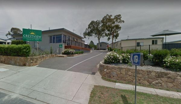
Entrance to the Crestview Tourist Park Crestview Tourist Park Location Map
, , , , , ,
Crystal Brook Holiday Centre
Entrance to the Crystal Brook Holiday Centre Crystal Brook Holiday Centre location map
, , , , , , , , , , , , ,
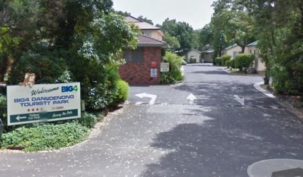
Dandenong Tourist Park Big4
Entrance to the Dandenong Tourist Park Big4 Dandenong Tourist Park Big4 location map
, , , , , , , , , , , ,
Daylesford Victoria Caravan Park
Entrance to the Daylesford Victoria Caravan Park Daylesford Victoria Caravan Park location map
, , , , , , , ,
Depot Beach Campground
Entrance to the Depot Beach Campground Depot Beach Campground location map
, , , ,
The Derby Park is set well back from the main road, with a river right next to your spot you have pulled over at. If you have a bike with you, ride over to Briseis Lake Entrance to the Derby Park Derby Park location map
, , , , , ,
Derrick VC Rest Area
While stopping at the Derrick VC Rest Area, is a good place for rest with trees for shade, public toilets with hand wash basin, undercover picnic tables, rubbish bins and tank water. Take a look at the Towrang Bridge, it's a Convict built bridge from a by ...
Read More...
, , , ,
Entrance to the Dimboola Riverside Caravan Park Dimboola Riverside Caravan Park location map
, , , , , , , ,

The Domblegabby Rest Area, has a fairly level gravel surface to park your caravan. There is a large undercover area and a few shade trees, and lots of rubbish bins. There is tank water here, so make sure you boil the water before drinking it.
Entrance to ...
Read More...
, , ,
The Donald Lakeside Caravan Park is a beautiful lakeside area with large sites and very clean amenities. There is an honesty box, and the caretaker drops in daily to collect for powered sites.
Entrance to the Donald Lakeside Caravan Park
Donald Lakesi ...
Read More...
, , , , , , , ,
Doon Reserve Caravan Park
Doon Reserve is a great place to come with your caravan or motorhome & to camp as a family, couple or individual..
You’ll enjoy great access to the Yarra as well as the beautiful surrounds including mountain views.
With Yarra Junction just minutes a ...
Read More...
, , , , , , , , , , , ,
Entrance to the Dromana Holiday & Lifestyle Village Dromana Holiday & Lifestyle Village location map
, , , , , , , , , ,
The Duaringa Campgrounds is a popular spot with very good amenities provided by the local council. You should pop a donation at the visitors centre, to help offset the cost of running the hot showers and free drinking water.
Entrance to the Duaringa Camp ...
Read More...
, , , , , ,
If your stopping at the Dululu Rest Area pop in to the Dululu Hotel for showers and power if needed, walk over to the Dee River and cast a line in to try and catch lunch. Entrance to the Dululu Rest Area Dululu Rest Area location map
, , , , , ,
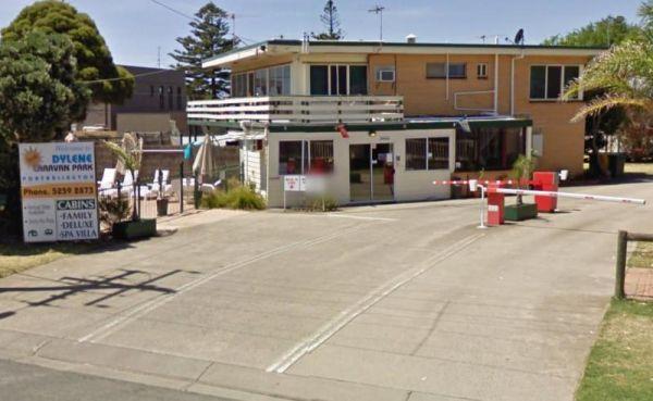
Dylene Caravan Park
Entrance to the Dylene Caravan Park Dylene Caravan Park location map
, , , , , , , , , , , ,
Eagle Point Caravan Park
Entrance to the Eagle Point Caravan Park Eagle Point Caravan Park location map
, , , , , , , , ,
This is an older style caravan park, offers some of the cheapest accommodation options in the region, and is only a few minutes drive to the heart of the National Capital
It has a few facilities and a tennis court, plus a couple of drive through ensuite ...
Read More...
, , , , , , ,
Echo Beach Tourist Park
Entrance to the Echo Beach Tourist Park Echo Beach Tourist Park location map
, , , , , , , , , , , ,
Entrance to the Echuca Discovery Parks Echuca Discovery Parks location map
, , , , , , , , , , , , , ,
Entrance to the NRMA Echuca Holiday Park NRMA Echuca Holiday Park location map
, , , , , , , , , , , , ,
Entrance to the Edenhope Lakeside Tourist Park Edenhope Lakeside Tourist Park location map
, , , , , , , , , , , ,
The Edgeroi Rest Area is a nice place to take a break from driving, there is a public toilet, and picnic tables here. Consider popping into the local shop or fill up with fuel to help this small community.
Entrance to the Edgeroi Rest Area
Edgeroi Res ...
Read More...
, , ,
Entrance to the Eildon Pondage Holiday Park Eildon Pondage Holiday Park location map
, , , , , , , , , , , , ,
Emmdale Roadhouse Camping Area is an oasis approx 100 k's east of Wilcannia, it's a good place to stop for a break. It's a roadhouse with camping and showers and toilets.
Fuel prices are very competitive
Entrance to the Emmdale Roadhouse Camping Area ...
Read More...
, , , ,
Entrance to the Epic Exhibition Caravan Park Epic Exhibition Caravan Park Location Map
, , , ,
Entrance to the Erica Caravan Park Erica Caravan Park location map
, , , , , ,
Fairhaven Family Holiday Park
Entrance to the Fairhaven Family Holiday Park Fairhaven Family Holiday Park location map
, , , ,
Ferntree Camping Ground has a short and easy walk to Ferntree Falls from the carpark. To camp here you will need to book online with Parks Victoria. has 5 suitable campsites on mostly uneven ground. Take a short hike to the Ferntree Waterfalls and take yo ...
Read More...
, ,
FigTree Holiday Village
Entrance to the FigTree Holiday Village FigTree Holiday Village location map
, , , , , , , , , , , ,
The Fountain Springs Rest Area has flushing public toilets, and a water tap (The water is not suitable for drinking).You will find this is a popular spot so if you get there late, you might have a problem finding a place to park your caravan.
Entrance to ...
Read More...
, , , ,
French VC Rest Area although there is loads of parking space, there's very little shade for you to park your caravan under. There are 2 long drop toilets with hand-wash basin, undercover picnic tables, tank water and fireplaces with bbq facilities.
Entra ...
Read More...
, , , ,
Entrance to the Geelong Discovery Park Geelong Discovery Park location map
, , , , , , , , , ,
The Genoa Rest Area has a General store just over the footbridge, so you can stock up your larders, and access to a public phone box if needed. Entrance to the Genoa Rest Area Genoa Rest Area location map
, , , ,
The Gilgunnia Rest Area is on the corner of Tara-Tallebung Rd and Kidman Way, it's a place to stop and rest a bit and nothing more. There is a public toilet, some rubbish bins, and a few places to park your caravan under some shade trees.
Entrance to the ...
Read More...
, ,
If stopping overnight at the Gin Gin Rest Area, you'll find plenty of room for your caravan, public toilets with hand wash basin and picnic tables and chairs, plus a water tap. Entrance to the Gin Gin Rest Area Gin Gin Rest Area location map
, , ,
Entrance to the Gisborne Southbound Rest Area Gisborne Southbound Rest Area location map
, , ,
The Glenriddle Recreation Reserve Camp Area is a large area with plenty of places to choose your campsite,. There is an undercover picnic table, a public toilet and a few rubbish bins. The Manilla River is close by for those eager fishermen amongst you, a ...
Read More...
, , , , , ,
The Glenariff Rest Area is off the main road with a few trees to keep the sun off your head, while you are getting ready to continue your journey. Entrance to the Glenariff Rest Area Glenariff Rest Area location map
,
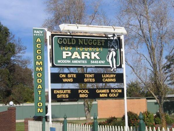
Entrance to the Gold Nugget Tourist Park Gold Nugget Tourist Park location map
, , , , , , , , , , , , , , ,
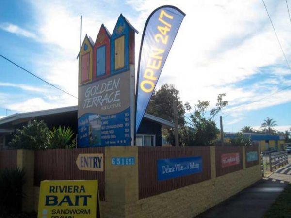
Golden Terrace Caravan Park
Entrance to the Golden Terrace Caravan Park Golden Terrace Caravan Park location map
, , , , , , , ,
Gooloogong Park Rest Area
At the Gooloogong Park Rest Area you can settle in, take a walk up to the pub, and check out the local shops, remember to spend some money, towns like this need a helping hand from tourism.
Entrance to the Gooloogong Park Rest Area location map
Gooloo ...
Read More...
, , , ,
Entrance to the Granite Creek Rest Area Granite Creek Rest Area location map
, , , , ,
Grass Trees Rest Area Northbound Entrance to the Grass Trees Rest Area Northbound Grass Trees Rest Area Northbound location map
, , , ,
The Gratwick VC Rest Area is on an asphalt surface running adjacent the Federation Highway. There are a few trees for shade, undercover picnic tables and Entrance to the Gratwick VC Rest Area Gratwick VC Rest Area location map
, ,
At the Green Hill Lake Camping Area, you can stay for 4-5 days and a permit is need for longer stays. free hot showers and a good toilet facility, bbq, fire pits, a children's playground and lots of rubbish bins. You can swim,kayak and explore the islands ...
Read More...
, , , , , , , ,
Greens Lake Regional Park Camping Area has plenty of camp spaces, power, toilets and showers and fire pits provided and it's right on the lake with safe swimming for kids.
Entrance to the Greens Lake Regional Park Camping Area
Greens Lake Regional Par ...
Read More...
, , ,
Entrance to the Grenfell West Rest Area Grenfell West Rest Area location map
, , , , ,
Grong Grong Park Rest Area
At the Grong Grong Park Rest Area there is plenty of parking over near the Grain Silos, there is a public toilet undercover picnic table and bbq, rubbish bins and a small playground for the children.and a phone box and a shop nearby.
Entrance to the Gron ...
Read More...
, , , , ,
Gum Bend Lake Camping Area 14 Day Limit
The Gum Bend Lake Camping Area has hot showers, rubbish bins, undercover picnic tables and bbqs with plenty of camping places to pick from, fishing, photographic opportunities everywhere and it's about 5km from the town of Condobolin in Central NSW. The G ...
Read More...
, , , , , , , ,
Entrance to the the NRMA Halls Gap Holiday Park BIG4
, , , , , , , , , , , ,

Entrance to the the Halls Gap Lakeside Caravan Park.
, , , , , , , , , ,
Heathcote Queen Meadow Caravan Park Entrance to the Heathcote Queen Meadow Caravan Park <h3>Heathcote Queen Meadow Caravan Park location map
, , , , , , ,
Entrance to the the High Country Holiday Par.
, , , , , , , , , , , , , ,
Entrance to the Highway Rest Area Location map for the Highway Rest Area
, , ,
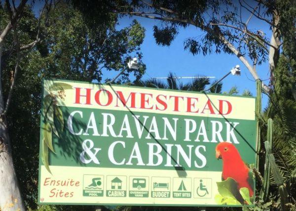
The Homestead Caravan Park and Cabins is an older style caravan park situated on 7 acres. They have a camp kitchen, laundry facilities, covered bbq area, and hey have added a new salt water swimming pool and games area, there are also Powered Ensuite Site ...
Read More...
, , , , , , , , , ,
The Honeysuckle Campground has good spacing for campsites so you don't feel too crowded, but it does get busy over the weekends. There are public toilets no flushable type also undercover picnic table, fireplace and two gas barbeques.
Note: Rain water ta ...
Read More...
, , ,

Howard Springs Holiday Park Big4
Entrance to the BIG4 Howard Springs Holiday Park BIG4 Howard Springs Holiday Park location map
, , , , , , , , , , ,
Pull off the main road on the outskirts of town at the Hughenden Rotary Rest Area, walk or ride your bike to Brodie Street, the main shopping centre for Hughenden, pop over and take a meal next to the dinosaur.
Entrance to the Hughenden Rotary Rest Area ...
Read More...
, , , , ,
Entrance to the Huntly Lions Park Rest Area Huntly Lions Park Rest Area location map
, , , ,
Entrance to the Huskisson White Sands Holiday Park Huskisson White Sands Holiday Park location map
, , , , , , , , ,
The Ilford Rest Area is just off the main highway, not a lot to do here, apart from rest and refresh, before heading on your way. There are public toilets, picnic tables, rubbish bins and tank water with room to park your caravan under a few shade trees. ...
Read More...
, , , ,
The Illabo Rest Area is located opposite the Illabo Pub, the rest area has a public toilet undercover picnic tables, rubbish bins and plenty of room to park your caravan. Entrance to the Illabo Rest Area Illabo Rest Area location map
, , , ,
From the Ingomar Rest Area there is a lot of nothing to look at from a fairly level area that's not too far from the highway, with an undercover picnic table, it's a place to stop if you need a break.
Entrance to the Ingomar Rest Area
Ingomar Rest Are ...
Read More...
,
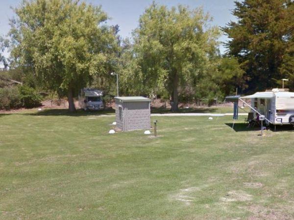
Entrance to the Inverloch Foreshore Camping Inverloch Foreshore Camping location map
, , , , , , , ,
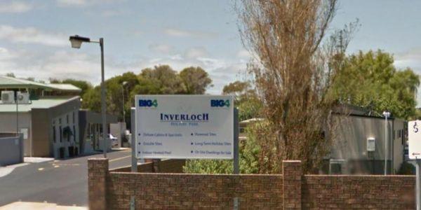
Entrance to the Inverloch Holiday Park BIG4 Inverloch Holiday Park BIG4 location map
, , , , , , , , , , , , , , , ,
The Isla Gorge National Park Campground is a little rocky so just a little extra care when setting up, if you tow a caravan, be aware it can be a bit of a tight squeeze to position your van into a suitable camping spot. There is a long drop toilet, underc ...
Read More...
, ,
Entrance to the J.Sloane Park Rest Area J.Sloane Park Rest Area location map
, , , ,
Jacka Park Rest Area
Entrance to the Jacka Park Rest Area
Jacka Park Rest Area location map
Wedderburn is a rural town located in Victoria, Australia on the Calder Highway, 214 kilometres north of Victoria's capital city, Melbourne. At the 2006 census, Wedderburn ...
Read More...
, , , , , ,
James Norman Hedges Park Rest Area
Entrance to the James Norman Hedges Park Rest Area James Norman Hedges Park Rest Area location map
, , , , , , ,
Entrance to the the Jamieson Caravan Park.
, , , , , , , , ,
Camping at the Jericho Showgrounds has nice level spots with power and water and showers with fees payable via Honesty Box. Sites with Power and Water are limited, so be early if you need them. Hot Showers are also available.
Entrance to the Jericho Show ...
Read More...
, , , , ,
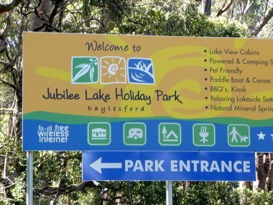
Jubilee Lake Caravan Park
Entrance to the Jubilee Lake Caravan Park Jubilee Lake Caravan Park location map
, , , , , , , , ,
Kangaroo Valley Tourist Park
Entrance to the Kangaroo Valley Tourist Park Kangaroo Valley Tourist Park location map
, , , , , , , , , , , ,
Entrance to the Kangerong Holiday Park Kangerong Holiday Park location map
, , , , , ,
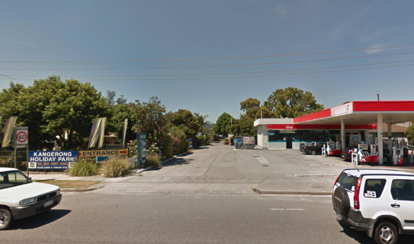
Entrance to the the Kangerong Holiday Park.
, , , , , , ,
Kathala Pass Rest Area
The Kathala Pass Rest Area is set back approximately 620 meters from the Eyre Highway, with two large undercover water tanks. There is also a bit of shade beside these tanks for a picnic break, and room to park your van back a bit from here.
Entrance to ...
Read More...
,
Entrance to the Katherine Holiday Park Katherine Holiday Park location map
, , , , , , , , , ,
The Keith Park Rest Area is a rather large park that spans both sides of the road, with plenty of picnic tables to chooses from. Entrance to the Keith Park Rest Area Keith Park Rest Area location map
, , , , , ,
Entrance to the Kelso Sands Holiday Park Big4 Kelso Sands Holiday Park Big4 location map
, , , , , , , , , , ,
From the Kempton Rest Area you can take a short walk or get your bikes off the back of the van, and have a short sightseeing trip around town, then settle in for the night.
There is a Tavern with meals and takeaways within walking distance and that the K ...
Read More...
, , , , ,
Entrance to the Kerang Caravan & Tourist Park Kerang Caravan & Tourist Park location map
, , , , , , ,
The Kibby VC Rest Area, has plenty of room to park, long drop toilets with hand basin, undercover picnic tables, rubbish bins and tank water.
You will also see a couple of old deserted buildings in the area, that might warrant taking a photo of.
Entranc ...
Read More...
, , , ,
The Kilgowlah Creek Rest Area is an oval shaped parking area that might not be suitable for large caravans especially if someone else is already there. You can take a short walk to the banks of the Keajura Creek, its roughly 100 metres along the path, rub ...
Read More...
, , ,
The Kimba Rest Area is a handy spot to stop at, there is an IGA supermarket across the road so pick up some supplies while visiting here, AND the Big Galah nearby GPS -33.141783,136.421747 Entrance to the Kimba Rest Area Kimba Rest Area location map
, , , ,
The King River Rest Area is close to the road so expect some noise, two large tanks with some potable water is onsite, undercover picnic tables and fireplaces available, and for the more adventurous, you can take a short walk to Leech Lagoon.
Entrance to ...
Read More...
At the Kings Billabong Rest Area camping is permitted around the reserve, when backpacking in, you will find plenty of bush camping spots. Entrance to the Kings Billabong Rest Area Kings Billabong Rest Area location map
, ,
The Kooreh Hall Rest Area, the hall itself was built in 1923 as a tribute to the lost soldiers of the Boer and First World Wars. Entrance to the Kooreh Hall Rest Area Kooreh Hall Rest Area location map
, , ,
Entrance to the Kyabram Western Gums Tourist Park Kyabram Western Gums Tourist Park location map
, , , , , , , , , , ,
At Lake Barrington Camping Area you can pick your spot from a large grassed area surrounded by large trees. Walk down to the boat ramp and enjoy the scenic view over the lake, or drop a line in and see if there biting today.
Entrance to the Lake Barringt ...
Read More...
, , , , , ,
Lake Borumba Camping Grounds
Lake Borumba campgrounds are tidy and clean amenities, hot showers, kitchen and toilet.Activities include beach volleyball playground, table tennis located next to the Yabba Creek is a nice quiet place to visit for a few days, Plenty of Shade, and Grassy ...
Read More...
, , , , ,  , , ,
, , ,
Entrance to the Lake Hume - Discovery Parks Lake Hume - Discovery Parks location map
, , , , , , , , , , , , , ,
Lake Towerrinning Lakeside Camping
Entrance to the Lake Towerrinning Lakeside Camping Lake Towerrinning Lakeside Camping location map
, , , , , ,
Entrance to the Lakeview Caravan Park Lakeview Caravan Park location map
, , , , , , ,
The Lal Lal Blast Furnace Rest Area has a picturesque short historical walk at a unique and interesting chapter of Victorian history. There are flushing toilets and a picnic area consisting of some grass that you can put a blanket down on. Be sure to take ...
Read More...
, , , ,

Lalgambook Picnic Area was once considered the richest alluvial gold-field in the world. Checkout the Old Silkworm Farm (GPS -37.014618,144.31176) and a few other archaeological features associated with it.
Entrance to the Lalgambook Picnic Area location ...
Read More...
, , ,

Entrance to the Lameroo Lakeside Caravan Park Lameroo Lakeside Caravan Park location map
, , , , , ,
From the Latrobe Motorhome Stop you can take a stroll over to the main shopping centre in Gilbert Street and stock up at the IGA supermarket, and be sure to check out the other shops there also.
Entrance to the Latrobe Motorhome Stop
Latrobe Motorhome ...
Read More...
, , , ,
At the Leven Canyon Camping Area if you intend to take the 1.2km circuit walk allow a minimum of 45 minutes, be prepared for 697 Steps and some steep sections in the walking track. Also be prepared for severe weather conditions that change quite quickly, ...
Read More...
, , , , ,
From the Lilydale Falls Reserve Camping Area is best suited to vehicle based tents. It's a short walk to the waterfall, and well worth your time to check it out. Remember to take your camera as you will be snapping off a few shots along your walk.
Entran ...
Read More...
, , , ,

Lilydale Pine Hill Caravan Park is at the gateway to Victoria’s famous Yarra Valley and the Dandenong Ranges.
We have a range of modern & affordable accommodation in Lilydale, Victoria. Whether you need a Cabin or a Site for your RV’s, caravan, larg ...
Read More...
, , , , , , , , , , , , , ,
From the Loch Memorial Reserve Camping Area, you can take a short stroll down Victoria Road to the local General Store and pick up a newspaper and some supplies.
Entrance to the Loch Memorial Reserve Camping Area
Loch Memorial Reserve Camping Area loc ...
Read More...
, , , ,
Mackay Park Rest Area
The Mackay Park Rest Area, you can stretch the legs a bit and walk over to the corner of Burley Griffin Way and Olympic Hwy to a local store and get the local gossip. There are picnic tables, Public toilets, wood fired bbq facilities, rubbish bins and ple ...
Read More...
, , , ,
Macksville Lions Park Rest Area
Macksville Lions Park Rest Area is a small tidy park right on the river's edge and very popular amongst travellers. The park has bbq facilities, public toilets, boat ramp, children's playground, rubbish bins, and it's a free overnight stop over with room ...
Read More...
, , , , , ,
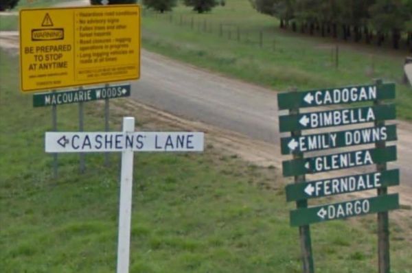
The Macquarie Woods Forest Reserve is a fantastic spot to park our caravan for a few nights to explore Bathurst and has more camping spots than you can poke a stick at. There is a public long drop toilet, picnic tables, fireplaces with bbq facilities, a f ...
Read More...
, , , , , , ,
Magorra Caravan Park
Entrance to the Magorra Caravan Park Magorra Caravan Park location map
, , , , , , , , , , , ,
Majors Creek Recreation Reserve 24 Hour Limit
The Macquarie Woods Forest Reserve has more camping spots than you can poke a stick at. There is a public toilet, bbq, and a small creek nearby.
Entrance to the Majors Creek Recreation Reserve 24 Hour Limit
Majors Creek Recreation Reserve 24 Hour Limi ...
Read More...
, ,
Entrance to the Maldon Caravan & Camping Park Maldon Caravan & Camping Park location map
, , , , , ,
No camping is allowed within the Mallala Oval camping area itself, only outside the Mallala Oval Rest Area.Hot showers are available are coin operated. Why not Pop into town and spend some money at the IGA or the Take away next door on Wasleys Road. near ...
Read More...
, , , ,
The Mallee Fowl Rest Area is just off the Sturt Highway, with plenty of room to park all sized rigs. There are public toilets, some wood fired BBQ's, and enough room to take your dog for a walk.
Entrance to the Mallee Fowl Rest Area
Mallee Fowl Rest A ...
Read More...
, , , ,
Mann River Caravan Park
Entrance to the Mann River Caravan Park Mann River Caravan Park location map
, , , , , , , , ,
Marathon Rest Area if you don't like this place to stop, then your in for another 48 kilometre drive to the next one. So take a short break from driving, then continue on to the next one, at either, Richmond or Hughenden, depending which upon direction yo ...
Read More...
, , , ,
Marr Creek Rest Area
The Marr Creek Rest Area has the makings of a wonderful overnight spot, with the Mann River on your doorstep. There are undercover picnic tables, wood fired bbqs, rubbish bins and tank water here.
Entrance to the Marr Creek Rest Area
Marr Creek Rest A ...
Read More...
, , , , , ,
Marryat Creek Rest Area
The Marryat Creek Rest Area has an emergency Phone and emergency rainwater tank to supply of Drinking water. There is lots of space for your caravan, you will find undercover picnic tables, rubbish bins to compliment this rest area.
Entrance to the Marry ...
Read More...
,
Marsden Rest Area Northbound
Entrance to the Marsden Rest Area Northbound Marsden Rest Area Northbound location map
, ,
The Meadow Glen Rest Area is set a short distance away from the main road in amongst some trees with a public toilet, picnic table and fixed fire place, water is also available.
Entrance to the Meadow Glen Rest Area
Meadow Glen Rest Area location map ...
Read More...
, , , ,
The Mendooran Free Camp is a picturesque area on the river and close to township, beautiful setting with plenty of space for caravans and mobile homes. There are undercover picnic tables, flushing toilets, cold showers, and town water tap behind amenities ...
Read More...
, , , , , , , ,
At the Middle Creek Camping Area, you can take a stroll along the Cave Walking Track, but be warned, it's rather steep. Entrance to the Middle Creek Camping Area Middle Creek Camping Area location map
, , ,
The Middleton VC Rest Area is located on the Remembrance Driveway it's a place to stop for a rest and a bite to eat before continuing on your way. There are undercover picnic tables, rubbish bins and tank water located here.
Entrance to the Middleton VC ...
Read More...
, ,
Entrance to the All Seasons Holiday Park All Seasons Holiday Park location map.
, , , , , , , , , , ,
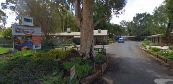
Entrance to the Mildura Golden River Holiday Resort BIG4 Mildura Golden River Holiday Resort BIG4 location map
, , , , , , , , , , , , , ,
The Millicent AH&P Society Showground RV Camping is the latest addition to friendly tourist accommodation in Millicent. We are the gateway to the Limestone Coast and the best route to the Coonawarra Wine Region. The site is run by volunteers from the ...
Read More...
, , , ,
Entrance to the Millicent Lakeside Caravan Park Millicent Lakeside Caravan Park location map
, , , , , , , , ,
Entrance to the Minnivale Rest Area Minnivale Rest Area location map
, , ,
Entrance to the Moe Gardens Caravan Park Moe Gardens Caravan Park location map
, , , , , , , ,
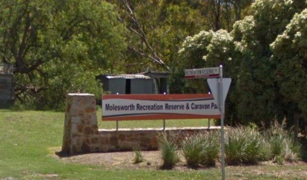
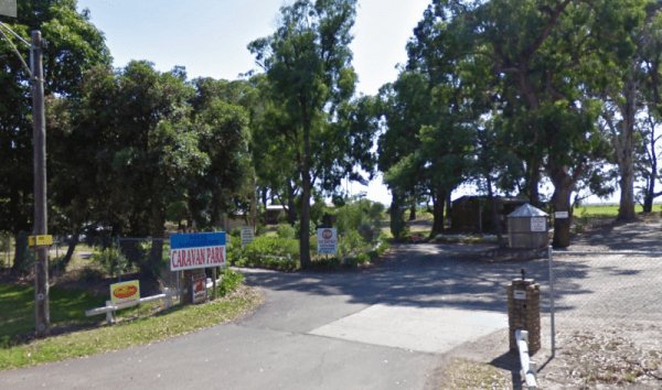
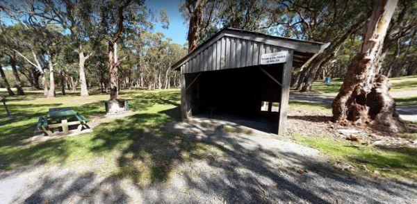
Molesworth Reserve Camping Ground
Entrance to the Molesworth Reserve Camping Ground Molesworth Reserve Camping Ground location map
, , , , , ,
The Montagu Camping Area is a very popular place for fishermen with boats. If your shore based fishing there, you can walk out to the Robbins Passage channel at low tide. Montagu Camping Area location map
, , , , , ,
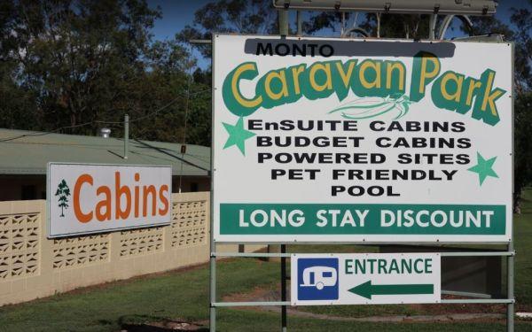
The Monto Caravan & Cabin Park grounds and pool are immaculate. The bathrooms are super clean and big. The sites are a good size this caravan site has a good reputation as being a very clean and friendly place to stay for a few nights. Amenities are w ...
Read More...
, , , , , , , ,
The Mooroopna Rest Area has a skateboard ramp, public toilets, bbqs, undercover picnic tables, and a few playground attractions for the little ones. Entrance to the Mooroopna Rest Area Mooroopna Rest Area location map
, , , , ,
Entrance to the Mornington Peninsula Holiday Park BIG4 Mornington Peninsula Holiday Park BIG4 location map
, , , , , , , , , , , , , , ,
Mount Clear Campground (Namadgi)
Mount Clear Campground is a remote camping area assessable for 2wd vehicles if you take it easy.
Great spot, heaps of space, tables, and fire pits, plus a single drop toilet and a couple of rainwater tanks
You will see colourful Eucalyptus stellulata wi ...
Read More...
, ,
Mt Franklin Rest Area
Turn from Midland Highway to the Mt Franklin Rest Area Mt Franklin Rest Area location map
, ,
The Mullaley Park Rest Area has a Post Office across the road with a public phone booth if your mobile has died on you. Entrance to the Mullaley Park Rest Area Mullaley Park Rest Area location map
, , ,
The Mundoonan Rest Area is an extremely well appointed rest area and accessible to northbound traffic on the Hume Highway. There are modern public toilets, undercover parking for cars, undercover picnic tables and free electric bbqs rubbish bins and emerg ...
Read More...
, , , , ,
Entrance to the Munglinup Rest Area Munglinup Rest Area location map
, , , , ,
The Neil Turner Weir Rest Area is a nice safe area for your Kayak, the banks can be a bit steep, so be careful if you have young children. P.S. There is a Concrete Boat Ramp which will make it a lot easier to launch the larger rubber boats etc.
Entrance ...
Read More...
, , , , , , ,
The Newmans Road Rest Area Southbound has an emergency phone is located at this spot along with a few rubbish bins. Entrance to the Newmans Road Rest Area Southbound Newmans Road Rest Area Southbound location map
, , , , ,
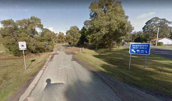
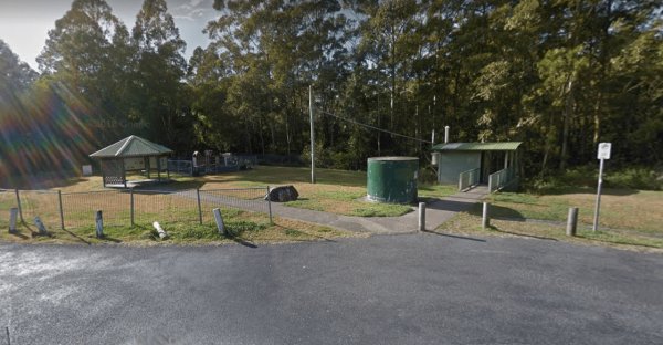
Entrance to the Newmerella Rest Area Newmerella Rest Area location map
, , , ,
Entrance to the Nhill Caravan Park Nhill Caravan Park location map
, , , , , , , , ,
Entrance to the Nicholson Rest Area Nicholson Rest Area location map
, , , , , ,
Entrance to the Nicholson River Caravan Park Nicholson River Caravan Park location map
, , , , , , , , , , , ,
Entrance to the Nitmiluk Gorge Caravan Park Nitmiluk Gorge Caravan Park Location Map
Entrance to the Noorinbee Rest Area Noorinbee Rest Area location map
, ,
North Arm Tourist Park
Entrance to the North Arm Tourist Park North Arm Tourist Park location map
, , , , , , , , ,
Entrance to the NRMA Halls Gap Holiday Park BIG4 NRMA Halls Gap Holiday Park BIG4 location map
, , , , , , , , , , , , , ,
Nyah Lions Club Recreation Reserve Camping Area, is an amazing place to camp at. With plenty of room for any size camper and access to the river, there's a dump point and potable water available, along with rubbish bins, bbqs are provided free for all to ...
Read More...
, , , , , , ,
Entrance to the Nyngan Riverside Tourist Park Nyngan Riverside Tourist Park location map
, , , , , , , , , ,
Ocean Grove Holiday Park
Entrance to the Ocean Grove Holiday Park Ocean Grove Holiday Park location map
, , , , , , , ,
Entrance to the Palm Cove Foreshore Reserve Camping Area Palm Cove Foreshore Reserve Camping Area location map
, , , , , , , ,
Entrance to the Peninsula Holiday Park Peninsula Holiday Park location map
, , , , , , , , , ,
Entrance to the Pinasters Picnic Rest Area Pinasters Picnic Rest Area location map
, ,
The Pindari Dam Camping Area is utopia if you enjoy fishing and camping and has a boat ramp available if needed. There is plenty of shoreline fishing spots available, great place for a kayak and camera , undercover picnic tables, public long drop toilets, ...
Read More...
, , , , ,
Point Lowly Camping Area
The Point Lowly Camping Area has it all, great views, good fishing, clean facilities its a credit to the Whyalla Council. As of 1 July 2013 a camping permit system was introduced at Point Lowly Camping Area.
Entrance to the Point Lowly Camping Area
Po ...
Read More...
, , , , ,
Pootnoura Rest Area
The Pootnoura Rest Area has an amazing view... oooopps maybe the heat is getting to me, there's not much to do here but take a break from driving, and maybe hallucinate a bit from the heat and read the information board. This site is set back from the mai ...
Read More...
,
Porepunkah Bridge Caravan Park
Entrance to the Porepunkah Bridge Caravan Park Porepunkah Bridge Caravan Park location map
, , , , , , , ,
Porepunkah Holiday Park Big4
Entrance to the Porepunkah Holiday Park Big4 Porepunkah Holiday Park Big4 location map
, , , , , , , , , , , , , , , ,
Porepunkah Pines Tourist Resort
Entrance to the Porepunkah Pines Tourist Resort Porepunkah Pines Tourist Resort location map
, , , , , , , , , , , , ,
Port Gibbon Camping Area
If your planning on going to Port Gibbon Camping Area be sure to bring plenty of supplies with you, as there are no local shops to replenish from, and I'm sure you will get fed up eating fish everyday and nothing else.
Entrance to the Port Gibbon Camping ...
Read More...
, , , , , , , ,
Entrance to the Prom Central Caravan Park Prom Central Caravan Park location map
, , , , , , , , , ,
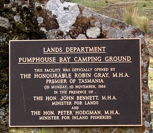
Pump House Bay Campground
The Pump House Bay campground has toilets and showers adjacent Hydro Bay area of Arthurs Lake and this lake has some of the best trout fishing in Tasmania, the campsite can be closed during the winter months due to snow.
Entrance to the Pump House Bay ca ...
Read More...
, , , , ,
Entrance to the RAC Cervantes Holiday Park RAC Cervantes Holiday Park location map
, , , , , , , , , ,
Reddas Park Camping Area toilets have two hot and cold showers each, and are clean and tidy and the nighttime lights are timed by push button. There are 2 powered camping areas, each with a power pole and four outlets. This campground is illuminated at ni ...
Read More...
, , , , ,
Riverview Caravan Park
Entrance to the Riverview Caravan Park Riverview Caravan Park location map
, , , , , , , , , , , ,
Rose Bay Park Rest Area 12 Hour Limit
The Rose Bay Park Rest Area is a lovely park with shady trees and good playground for kids, plus a skate ramp and Basketball hoops. There is also a public toilet, some undercover picnic tables, rubbish bins and free electric BBQ's . You can easliy walk ov ...
Read More...
, , , , , , , ,
Rutherglen Caravan & Tourist Park
Entrance to the Rutherglen Caravan & Tourist Park Rutherglen Caravan & Tourist Park location map
, , , , ,
Entrance to the Sale Showgrounds Motor Home Facility Sale Showgrounds Motor Home Facility location map
, , ,
The Seaforth Foreshore Reserve Camping Area has a camp kitchen, toilets, showers, BBQ, powered and unpowered sites, washing machines, easy access to the beach, even outside showers Bookings are advised for peak periods. Seaforth - Booking office is locate ...
Read More...
, , , , , , , ,
Entrance to the Seven Mile Beach Holiday Park Seven Mile Beach Holiday Park location map
, , , , , , , , , ,
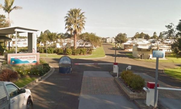
Shoalhaven Heads Holiday Park
Entrance to the Shoalhaven Heads Holiday Park Shoalhaven Heads Holiday Park location map
, , , , , , , , , , , , ,
Entrance to the Shoalhaven Zoo - Campsite Shoalhaven Zoo - Campsite location map
, , , , , ,
The Six Mile Creek Rest Area has picnic tables, public toilets and dump point plus rubbish bins here, very noisy as right on highway, and a few local drunks who seem to congregate here. Note: a Maximum stay of 20 hours, fines apply if you exceed it.
Entr ...
Read More...
, , , , ,
Sleepy Hollow Rest Area (northbound)
Sleepy Hollow Rest Area (northbound) has seperate areas to park trucks and cars with plenty of space to park your caravan. Public toilets with water tap on side of building, undercover picnic tables and rubbish bins.
Entrance to the Sleepy Hollow Rest Ar ...
Read More...
, , , ,
The Smiths Bridge Campground, is fairly close to the main road, but not to many cars at night so you can relax in amongst the tall trees, and take advantage of public toilets and the picnic facilities.
Entrance to the Smiths Bridge Campground
Smiths B ...
Read More...
, , , ,
Entrance to the South Australia - Northern Territory Border Rest Area South Australia - Northern Territory Border Rest Area location map
, , ,
Entrance to the South Australia - Northern Territory Rest Area Location Map of the South Australia - Northern Territory Rest Area
, , ,
Entrance to the South Canberra Caravan Park South Canberra Caravan Park location map
, , , , , , , ,
Spring Hill Rest Area
At the Spring Hill Rest Area you will find an undercover children’s playground, Undercover picnic tables, public toilet, tank water and rubbish bins. There is a normally dry creek-bed to explore, overall it's a nice spot to take a rest and refresh yoursel ...
Read More...
, , , , , ,
The St Helens Holiday Park Big4 location is with easy walking distance to town and the waters edge. This park has a well equipped camp kitchen and the outdoor camp kitchen with wood fired pizza oven.
Note to campers: At night they play the radio in the t ...
Read More...
, , , , , , , , , , , , , ,
St Peters Pass Rest Area is a nice secluded rest stop, just north of Oatlands. Pass Creek runs behind the rest area, this is fairly level ground with an old stone shelter and picnic tables, public toilets and rubbish bins.
Entrance to the St Peters Pass ...
Read More...
, , , , ,
Sun City Caravan Park
Entrance to the Sun City Caravan Park Sun City Caravan Park location map
, , , , , , , , , ,
Entrance to the Surf Beach Holiday Park Surf Beach Holiday Park location map
, , , , , , , , , ,
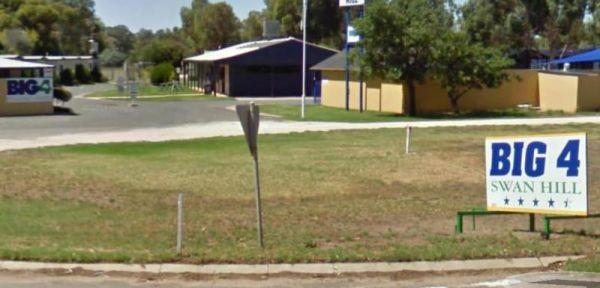
Entrance to the Swan Hill BIG4 Swan Hill BIG4 location map
, , , , , , , , , , , , , , , , ,
Entrance to the Big4 Swan Hill Riverside Caravan Park Big4 Swan Hill Riverside Caravan Park location map
, , , , , , , , , , , , ,
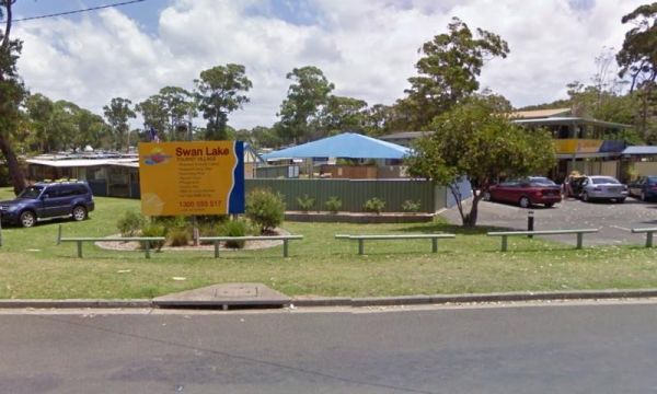
Entrance to the Swan Lake Holiday Park Swan Lake Holiday Park location map
, , , , , , , , , , , , , , ,
Swan Reach Gardens Tourist Park
Entrance to the Swan Reach Gardens Tourist Park Swan Reach Gardens Tourist Park location map
, , , , , , , , , , ,
Entrance to the Taggerty Holiday Park BIG4 Taggerty Holiday Park BIG4 location map
, , , , , , , , , , , , , , , , , , ,
The Tarcutta Rest Area has some shade and 2 picnic tables, but no toilets on both Northbound and Southbound side. There is enough room for large rigs to maneuver, and is located near the junction of the Keajura and Kilgowla Creek, so yabbies might be avai ...
Read More...
,
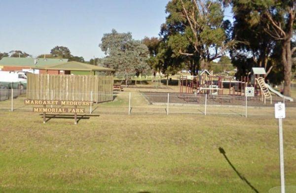
Entrance to the Tarpeena Margaret Medhurst Memorial Park Rest Area Tarpeena Margaret Medhurst Memorial Park Rest Area location map
, , , ,
Tawonga Caravan Park location map
, , , , , , , , , ,
Taylor Creek Rest Area has a mobile-phone signal enhancer that enable your phone to access the network. Plenty of room to park with undercover picnic tables, wood fired bbqs, rubbish bins, tank water and public toilet making this a well equipped rest spot ...
Read More...
, , , , ,
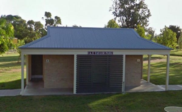
The Taylor Park Rest Area is a nice free overnighter with toilets and a pump out station for RV's. This spot is directly opposite the Commercial Hotel, drop in for a bite to eat while your stopping at the rest area.
Entrance to Taylor Park Rest Area ...
Read More...
, , , , , ,
Thackaringa Hills Rest Area
At the Thackaringa Hills Rest Area you can pull off the Barrier Highway along a strip of gravell that has a few low trees for shade, a public toilet, undercover picnic table, rubbish bins and tank water. There is not a lot to do here, apart from sitting a ...
Read More...
, , , ,
Take a short toilet break at the Thangool Memorial Park Rest Area, check out the military hardware on-site, then pop down the road to the pup for a cold drink, before heading off again on your adventure.
The entrance to the Thangool Memorial Park Rest Ar ...
Read More...
, , , , , ,
The Ponds Camp Rest Area has the Andersons Creek adjacent this spot, but only has a small amount of water in it. There is tank water, a few trees for shade, undercover picnic tables, wood fired bbqs, rubbish bins and plenty of room to park your caravan
E ...
Read More...
,
The Tiaro Memorial Park Free Camping Area is a great place to stop grab a meal and stock up on supplies, it also has Hot Showers in the amenities block. The Park has a 48 hour time limit on camping. Tiaro Memorial Park Free Camping Area location map
, , , ,
There is also off-road parking on the other side of the TM Price Rotary Park Rest Area for motorhomes, with a 24 Hour Limit and No Caravans permitted. Entrance to the TM Price Rotary Park Rest Area TM Price Rotary Park Rest Area location map
, , , ,
Entrance to Tolmie Rest Area Tolmie Rest Area location map
, , , ,
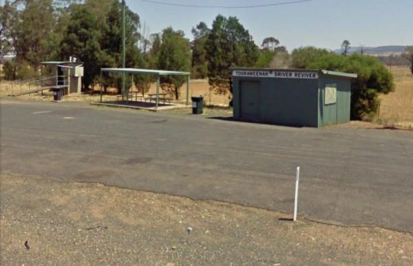
Tooraweenah Rest Area
Tooraweenah Rest Area is a strip of asphalt with public toilets, undercover picnic tables and rubbish bins with nice views of the mountains in the distance. Entrance to the Tooraweenah Rest Area Tooraweenah Rest Area location map
, , , ,
Trial Bay Gaol campground
At Trial Bay Gaol Campground the camp kitchen and toilets were very clean, hot showers are also available but on a timer. The unpowered sites are right on the beachfront, with the occasional kangaroo grazing nearby. There are also a few powered sites avai ...
Read More...
, , , , ,
Visit Prom Country Information Centre, has Free Wi-Fi, very helpful and informative staff who will make sure you enjoy your visit to the area. They will also help you find the best accommodation to suit your needs. There is also plenty of room to park all ...
Read More...
, , , , ,
The Waanyarra Camping Grounds is situated in the Waanyarra/Dunolly state forest. There are long drop toilets, a shade hut with seating, and tank water but not suitable for drinking. The campground is quite large and is accessible for all vehicles includin ...
Read More...
, , , ,
Entrance to the Waldrons Swamp Rest Area Waldrons Swamp Rest Area location map
, , , ,
Entrance to the Walpeup Rest Area Walpeup Rest Area location map
, ,
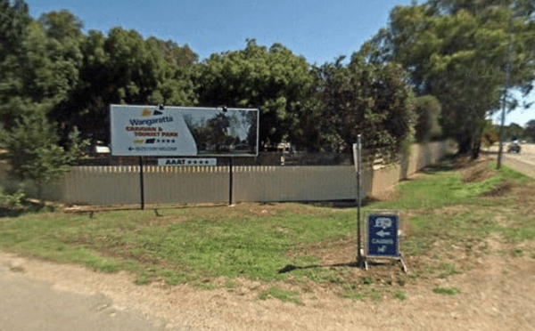
Wangaratta Caravan & Tourist Park
Entrance to the Wangaratta Caravan & Tourist Park Wangaratta Caravan & Tourist Park location map
, , , , , , , , , , , , ,
Entrance to the Warburton Caravan Camping Park Warburton Caravan Camping Park location map
, , , , , , , , , ,
Warrnambool Claremont Holiday Village
Entrance to the Warrnambool Claremont Holiday Village Warrnambool Claremont Holiday Village location map
, , , , , , ,
Warrnambool Discovery Holiday Parks
Entrance to the Warrnambool Discovery Holiday Parks Warrnambool Discovery Holiday Parks location map
, , , , , , , , , , ,
Entrance to Water Tanks Rest Area Water Tanks Rest Area Location Map
, , , ,
Entrance to Wave Rock Caravan Park. Wave Rock Caravan Park location map.
, , , , , , , , , ,
Waverley Creek Rest Area 20 Hour Limit
The Waverley Creek Rest Area has a maximum stay 20 hours allowed, Facilities include Wood fired BBQs, and tap water, as with most water your not sure about, it's advisable to purify it first by boiling before drinking. There is also a telephone box availa ...
Read More...
, , , , ,
Werribee South Beach Caravan Park
Entrance to the Werribee South Beach Caravan Park Werribee South Beach Caravan Park Location map
, , , , , , , ,
The Western Beach Camping Area has excellent toilets and cold showers with lighting, and tank water on tap. Fishing is not an option here as the lake has been dry for many years, and fills approx every 20 years or so.
Western Beach Camping Area location ...
Read More...
, , , ,
The Widgiwa Rest Area has a reasonably large turning area that caters for all sized rigs. There is a picnic table, some large trees, plus rubbish bins and room for bigger caravans. There is water available but treat it first if you intend to drink it.
En ...
Read More...
,
Wilks Park Rest Area 72 Hour Limit
The Wilks Park Rest Area is a lovely camping spot within walking distance to shopping centres. There are flushing public toilets with a hair dryer, and dump point, rubbish bins, potable water, there is also a bicycle way through the park with camping with ...
Read More...
Willalooka Park Rest Area
Entrance to the Willalooka Park Rest Area Willalooka Park Rest Area location map
, , , ,

The Wollomombi Gorge National Park Camping Area is a great campground, with 10 spaces well-separated from each other suitable for cars and small caravans. Firewood is supplied for the fire pits with bbq hot plate, there is water onsite and a long drop toi ...
Read More...
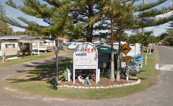
The Wooli Caravan Park is a tidy little park located between the Wooli Wooli River and the open Ocean. Try and get a campsite facing the river, that way you'll get great uninterrupted sunsets.
{tab title="Local Places to Eat" class="grey"}
Harry's Chi ...
Read More...
, , , , ,
Entrance to Wooramel Roadhouse Caravan Park Wooramel Roadhouse Caravan Park Location Map
, ,
Wulgulmeran Recreation Reserve
Entrance to the Wulgulmeran Recreation Reserve - Free Dump Point Wulgulmeran Recreation Reserve - Free Dump Point location map
, , ,
Wuruma Dam Rest Area 14 Day Limit
The Wuruma Dam Rest Area is a popular spot for us Grey Nomads, take your kayak off the roof and go for an exploratory paddle and maybe drag a fishing line behind just in case. There is a 14 Day maximum limit for all campers.
Wuruma Dam Rest Area location ...
Read More...
, , , , ,
The Wyaralong Dam Camping Area with easy access to picnic tables, and bbqs there are two camping areas available.
The lilybrook Recreation Area and Ngumbi campsite have a public toilet, cold showers, water tanks, bbq's, undercover picnic tables and a chi ...
Read More...
, , , , , ,
Wycheproof Caravan Park
Entrance to Wycheproof Caravan Park Wycheproof Caravan Park Location Map
, , , , , , ,
The Yaamba Rest Area is a bit noisy from the constant road traffic as it's just off the Bruce Highway. There is a public toilet, a bbq and undercover picnic tables, and plenty of level ground to park on.
The Royal Oak Hotel is worth a visit to get a good ...
Read More...
, , , ,
Entrance to the Lance Moon Park Lance Moon Park location map
, , ,
Entrance to the Yea Riverside Caravan Park Yea Riverside Caravan Park location map
The Yeoval Showground Camping, has showers and toilets, with lots of space to park your caravan. The main business area of town is within easy walking distance from the showground.
Entrance to the Yeoval Showground Camping Area
Yeoval Showground Campi ...
Read More...
, , , , ,
Yerong Creek Camping Area
Entrance to the Yerong Creek Camping Area Yerong Creek Camping Area location map
, , , ,