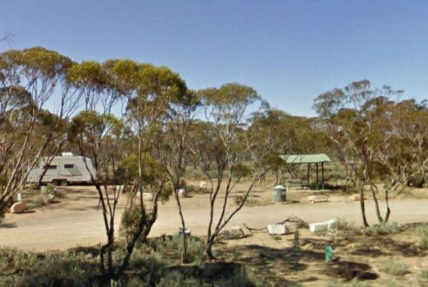
Category: Rest Area
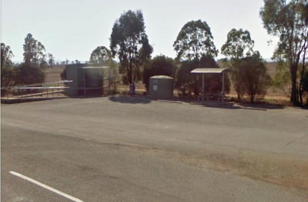
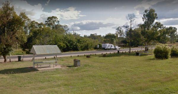
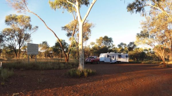
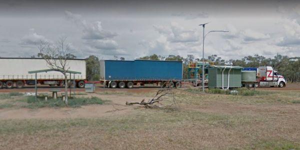
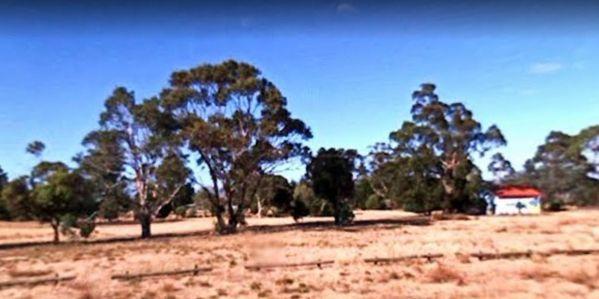
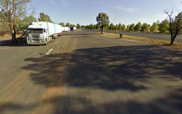
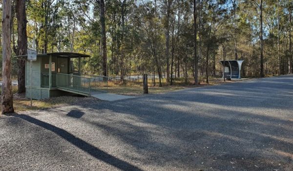
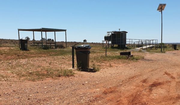
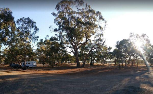
10 Mile Rocks Rest Area 24 Hour Limit
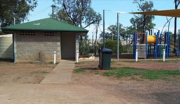
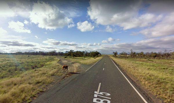
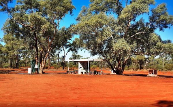
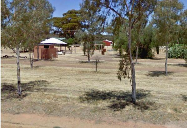
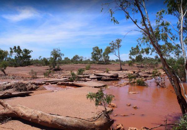
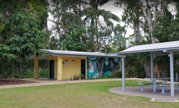
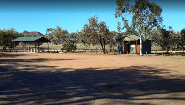
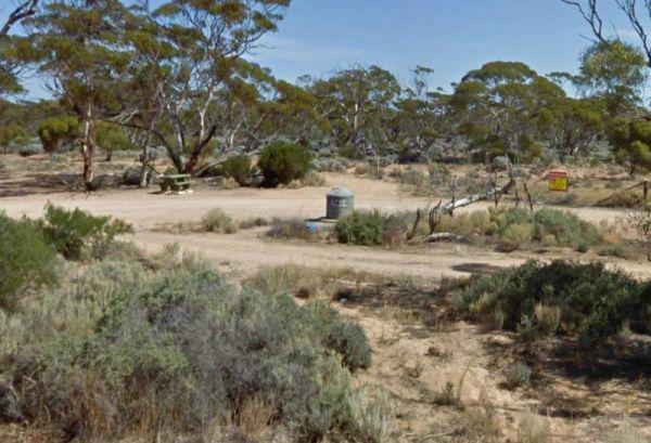
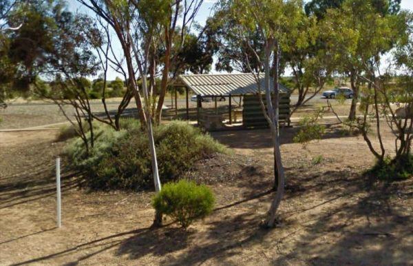
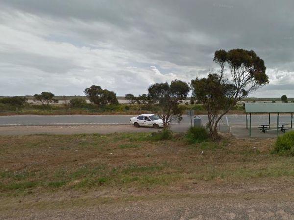
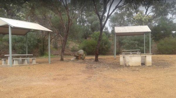
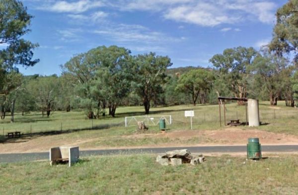
The 10 Mile Rocks Rest Area is set back a short distance from the Eyre Highway, on an asphalt section. There are plenty of shady spots on a level gravel surface just behind this rest spot, to park your caravan. There is a public toilet, solar heated showe ...
Read More...
 ,
,  ,
, 
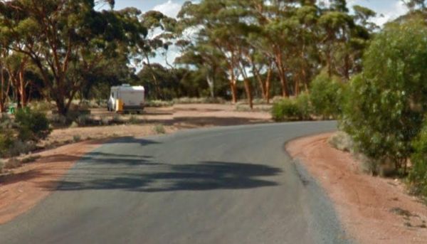
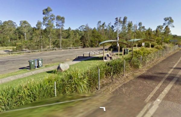
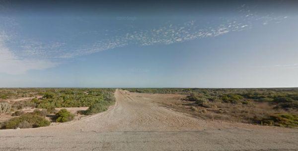
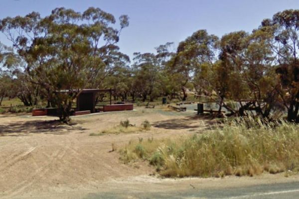
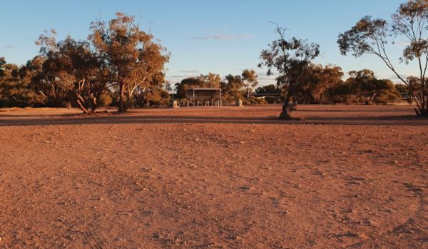
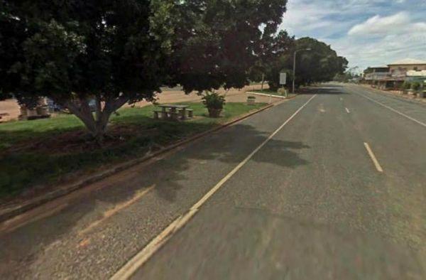
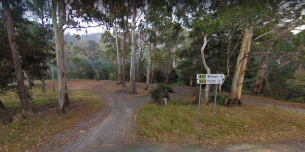
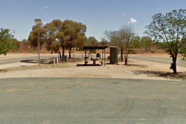
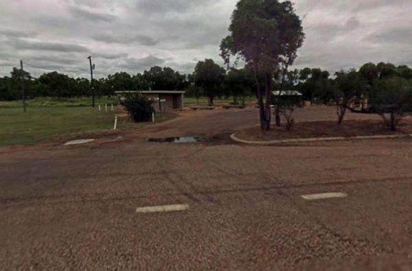
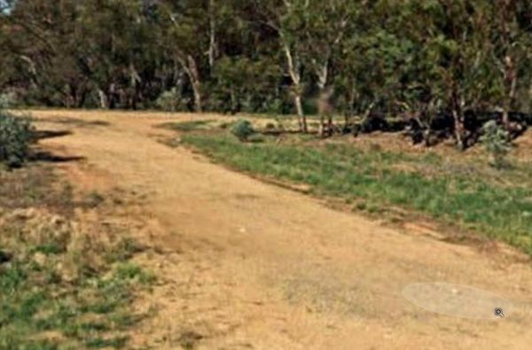
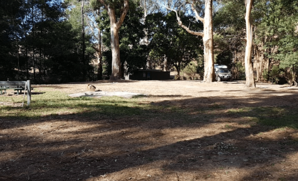
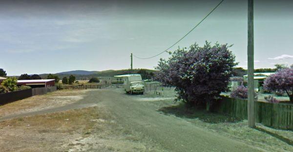
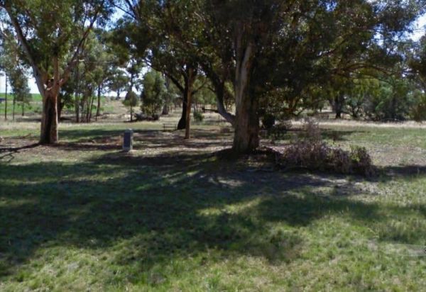
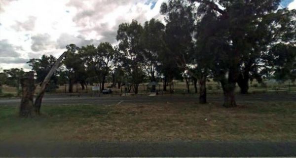
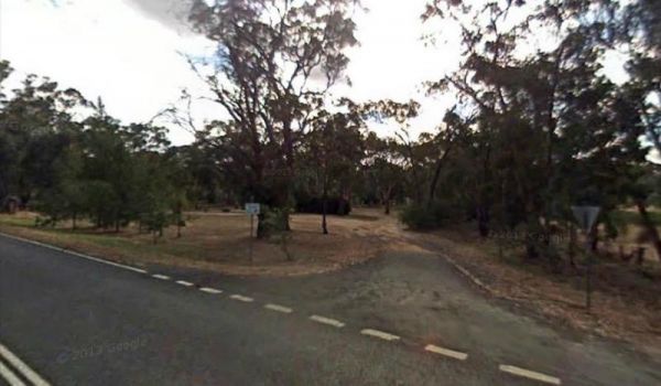
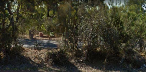
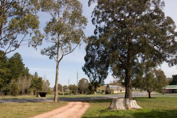
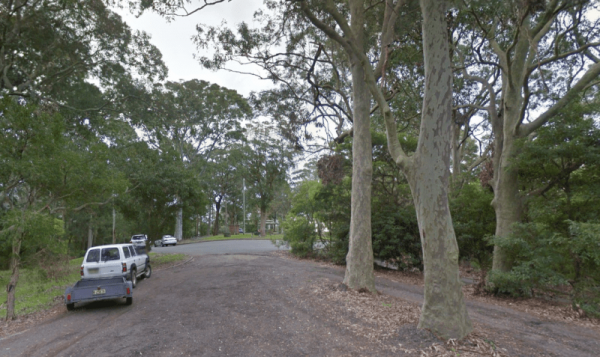
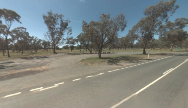
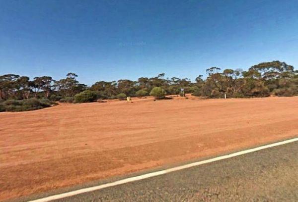
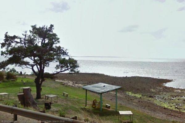
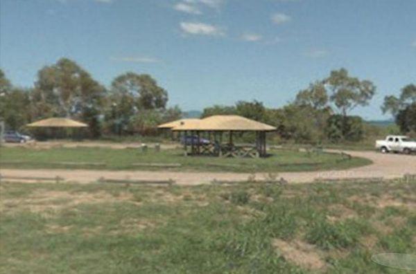
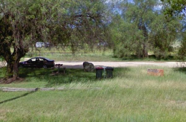
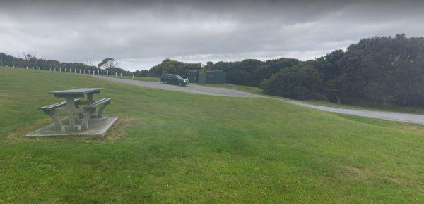
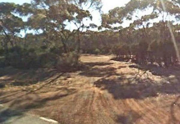
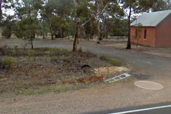
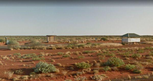
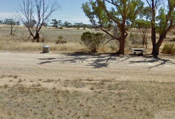
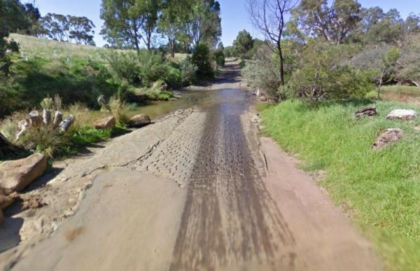
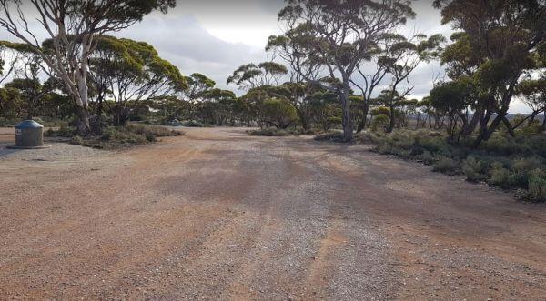
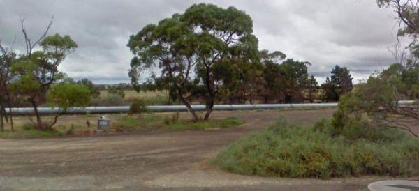
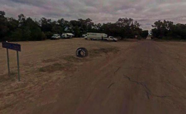
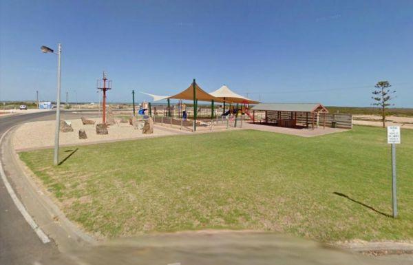
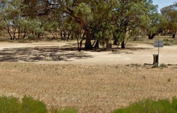
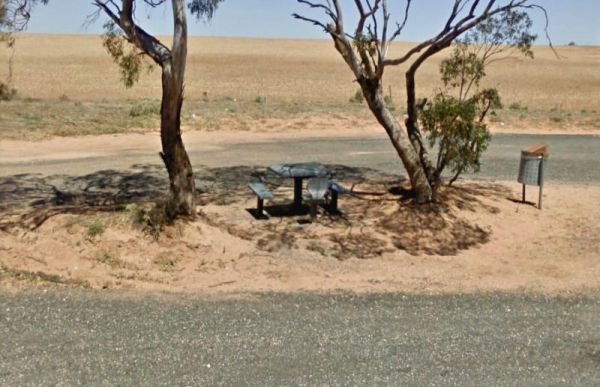
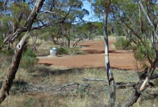
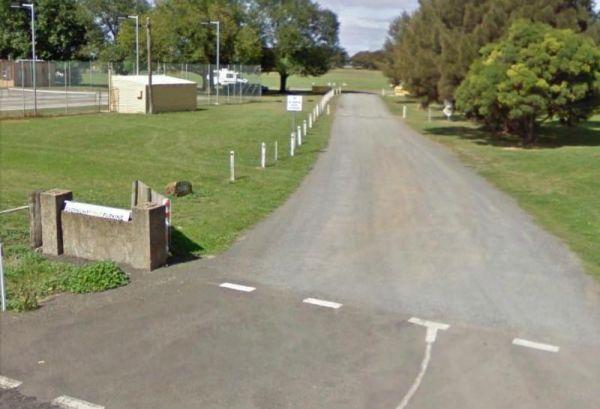
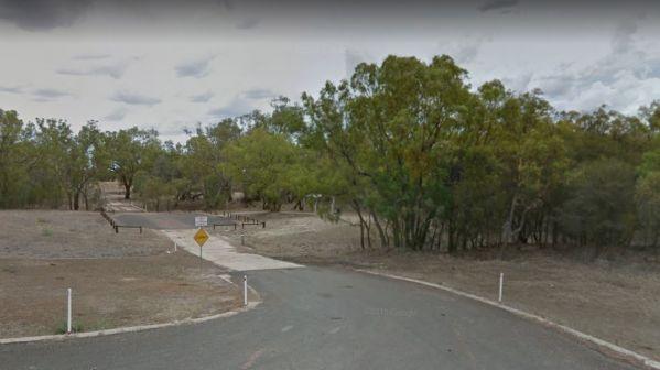
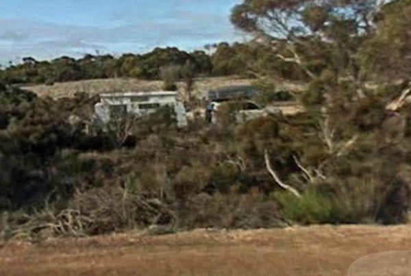
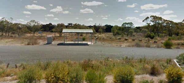
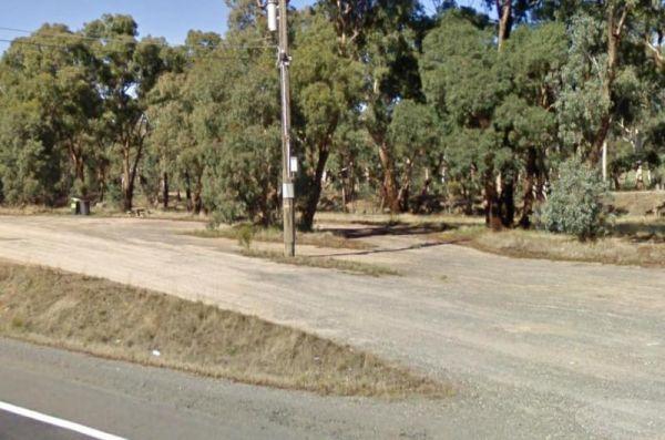
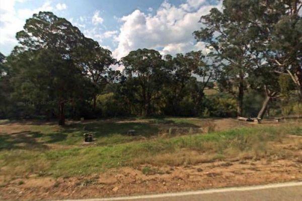
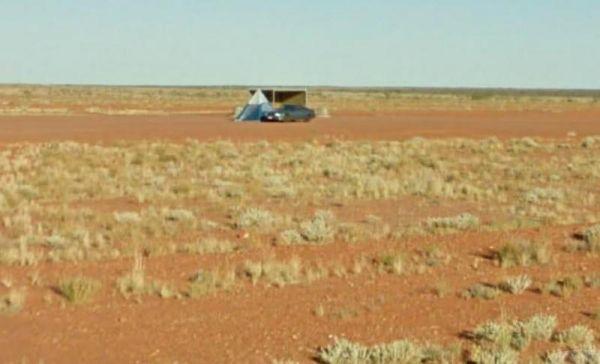
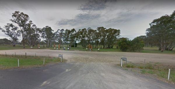
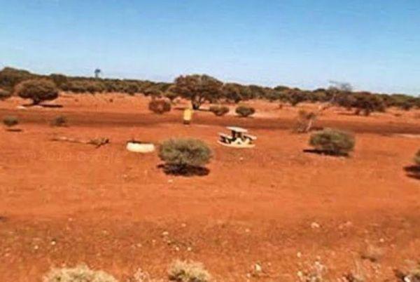
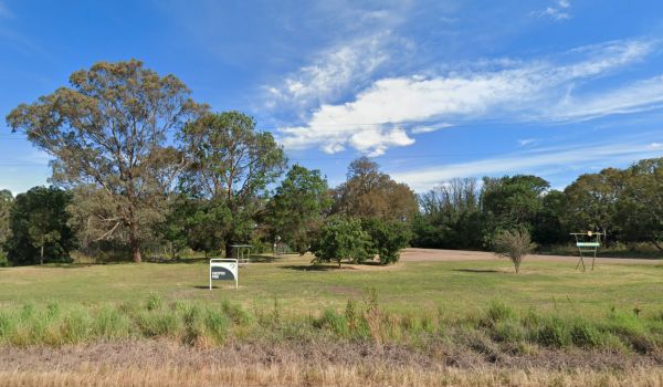
Entrance to the 10k Peg Rest Area 10k Peg Rest Area location map
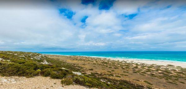
12 Mile Beach Camping Area
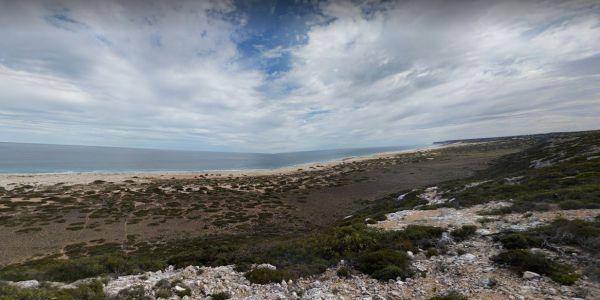
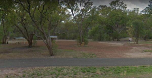
At the 12 Mile Beach Camping Area there are a few camping areas on various levels to choose from, also popular with local fishermen. 12 Mile Beach Camping Area location map
,  ,
,
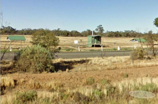
12 Mile Dam Rest Area
The 12 Mile Dam Rest Area is a handy place to pull over on the edge of the Eyre Highway, straight onto a level surface, and take a short rest from driving then on your way again.
Entrance to the 12 Mile Dam Rest Area
12 Mile Dam Rest Area location map ...
Read More...
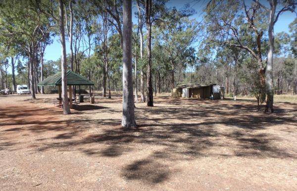
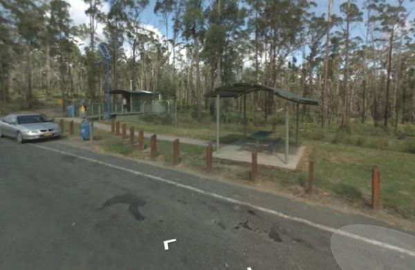
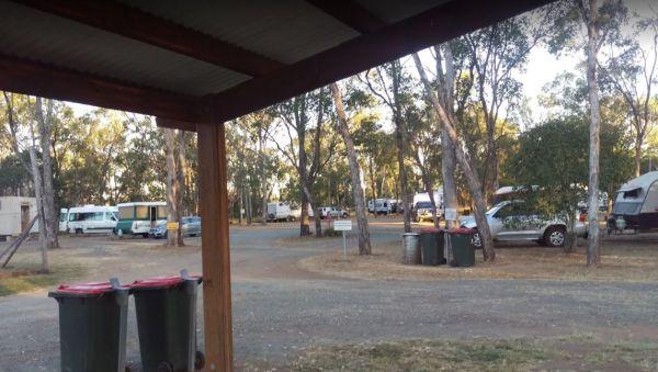
12 Mile Rest Area - Southbound
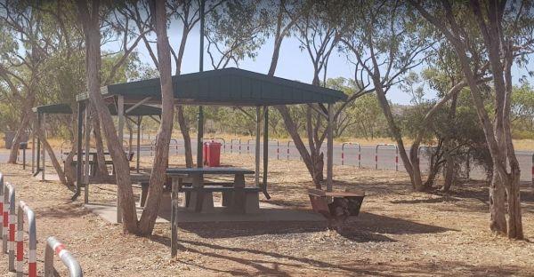
The 12 Mile Rest Area has two public toilets, and a few rubbish bins and undercover picnic tables. You will have plenty of room to park your caravan, but please make room for the truckies, as it's a popular truck rest area for them.
Entrance to the 12 Mi ...
Read More...
, , , 
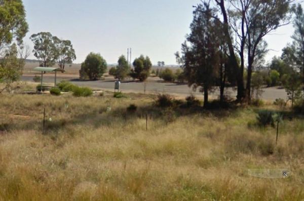
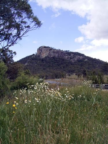
Entrance to the 13k Peg Scenic Lookout 13k Peg Scenic Lookout location map
157k Peg Rest Area
Entrance to the 157k Peg Rest Area 157k Peg Rest Area Location Map
164k Peg Rest Area
Entrance to the 164k Peg Rest Area 164k Peg Rest Area location map
Entrance to the 17k Peg Rest Area 17k Peg Rest Area location map
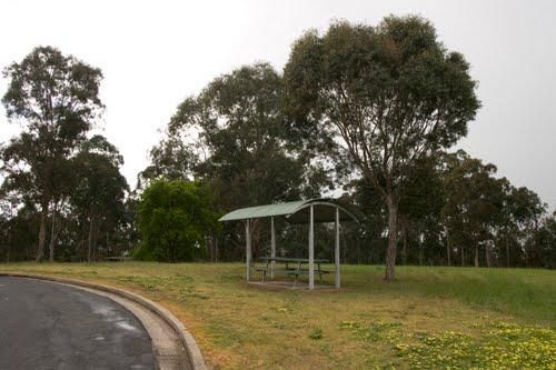
The 21k Peg Rest Area is level with a little bit of shade and quite a bit of room for the larger rigs. Entrance to the 21k Peg Rest Area 21k Peg Rest Area location map
Entrance to the 222k Peg Rest Area 222k Peg Rest Area location map
25 Mile Well Rest Area
The 25 Mile Well Rest Area has rubbish bins, and an undercover picnic table, and not much shade, all on reasonably level ground. This place has plenty of room to park your caravan or motorhome, just off the Great Northern Highway. This rest area is locate ...
Read More...
,  ,
,
Entrance to the 25k Peg Rest Area 25k Peg Rest Area location map
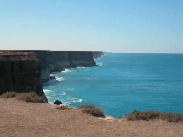
The 38k Peg Rest Area is a large level gravel area to park your caravan for an hour or two. The Cliffs overlooking the Ocean are just a short walk away if you want to grab a photo. Entrance to the 38k Peg Rest Area 38k Peg Rest Area location map
Entrance to the 41 Mile Bore Camp 41 Mile Bore Camp Location Map
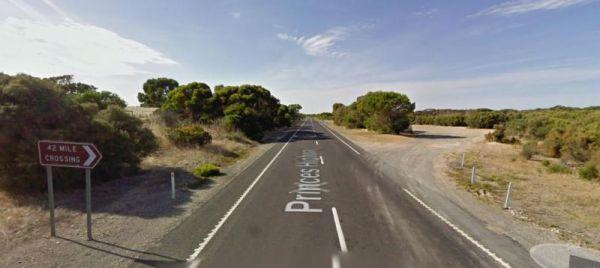
42 Mile Crossing Rest Area
The 42 Mile Crossing Rest Area has a few small trees that separate you from the Princes Highway. Entrance to the 42 Mile Crossing Rest Area 42 Mile Crossing Rest Area location map
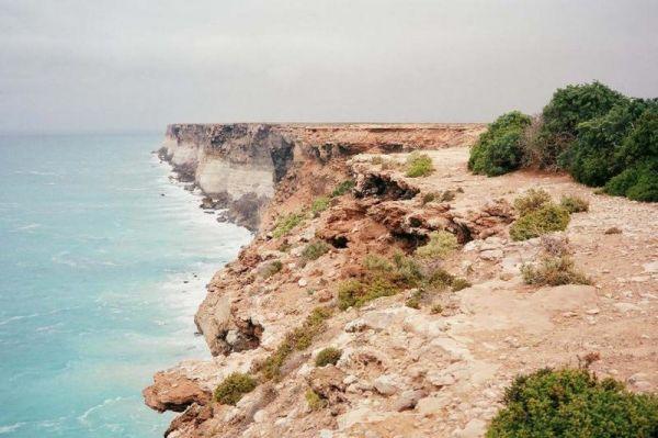
The 42k Peg Scenic Lookout parking area is on a gravel surface with no amenities, and it's a short drive off the Eyre Highway with a Beautiful view of the Great Australian Bight, so plenty of room to let your pet have a run if you like.
Entrance to the 4 ...
Read More...
Entrance to the 52k Peg Rest Area 52k Peg Rest Area location map
, 
75k Peg Scenic Lookout
To get to the 75k Peg Scenic Lookout, drive down the road for approx 1 Kilometre to the 75k Peg Scenic Lookout, it's well worth the effort. Entrance to the 75k Peg Scenic Lookout 75k Peg Scenic Lookout location map
90 Mile Sign Parking Area 24 Hour Limit
The 90 Mile Sign Parking Area has ample room to park your caravan, with limited shade, picnic tables, and rubbish bins, this rest area is located on gravel just off the Eyre Highway.
Note: This section of road, is the longest straight road in Australia a ...
Read More...
The Abbotts Tank Rest Area has undercover picnic tables and wood fired bbq and some rubbish bins and a few trees for shade. So take break from driving and grab a bite to eat and chill out for a bit.
Entrance to the Abbotts Tank Rest Area
Abbotts Tank ...
Read More...
, ,
Acacia Roadhouse
Entrance to the Acacia Roadhouse Acacia Roadhouse location map
Aeroplane Parking Bay has a public toilet, picnic tables and rubbish bins and lots of room to park. This is perhaps not the best place for an overnight stay for your caravan or camper, as trucks use this halfway point between Sydney and Melbourne to meet ...
Read More...
,  , ,
, ,
Afghan Rock Rest Area 24 Hour Limit
The Afghan Rock Rest Area is on a reasonably level asphalt area, with plenty of room to park your caravan or motorhome. There are picnic tables under shady trees, and a few rubbish bins.
Note: This spot, this is a popular truck stop, so please make sure ...
Read More...
,
Agnes Creek Rest Area
The Agnes Creek Rest Area has a picnic table, a few rubbish bins and a bit of shade to park under and far enough from the Stuart Highway to get a good nights sleep. Entrance to the Agnes Creek Rest Area Agnes Creek Rest Area location map
,
Entrance to the Agnes River Rest Area Agnes River Rest Area location map
, , , ,
Entrance to the Airport Rest Area Airport Rest Area location map
, ,  , ,
, ,
Albert Tognolini Rest Area
The Albert Tognolini Rest Area is a beautiful place and big enough to have quite a few Caravans and cars camping together. There are some nice walks or mountain bike rides, with some incredible views of of Munjina East Gorge to be had. This camp is approx ...
Read More...
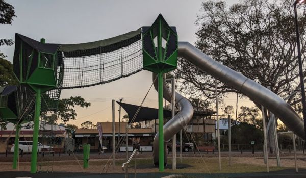
Alf Larson Lions Park
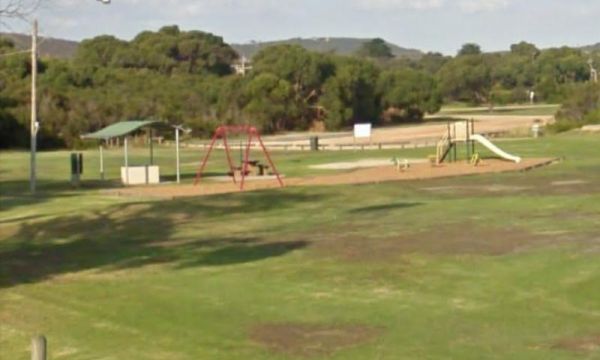
From the Alf Larson Lions Park has an amazing playground for kids and dog friendly with a takeaway & convenience store over the road. Access to the Dump point is via the car park opposite Dougall Street GPS -24.327585, 151.561173 Be sure to pop over t ...
Read More...
, , ,
Alfred Town East Rest Area
The Alfred Town East Rest Area has a rubbish bin, shade trees to park under, and is set back a short distance from the Sturt Highway, with plenty lots of places to stop for an hour or two.
Entrance to the Alfred Town East Rest Area
Alfred Town East Re ...
Read More...
To get to the Alfred Town Riverside Reserve, follow signs to a small shaded camping area on the banks of the Murrumbidgee River. Entrance to the Alfred Town Riverside Reserve location map Alfred Town Riverside Reserve Location Map
, ,
Allans Flat Reserve
Allans Flat Reserve is just a short distance off the main road. The turn-off is easy to miss. Walk around the lake, enjoy the surrounding countryside' sit back and Relax.This lake was created by barge mining during the 1850s to 1890's in the quest for Gol ...
Read More...
, ,

The Alma Reserve Picnic Area is a nice spot for a rest and a picnic, grab your fishing rod and try your luck, or launch your kayak and have a quick exploratory paddle of the waterway.
No Camping is permitted here
Entrance to the Alma Reserve Picnic Area ...
Read More...
,  ,
,
When at the Alpha Rest Area you can grab a bite at the Cafe or the Hotel across the road, stock up on some fresh bread from the bakery, and get a haircut, all within easy walking distance. Entrance to the Alpha Rest Area Alpha Rest Area location map
, ,

Entrance to the Ambrosia Rest Area Ambrosia Rest Area location map
,
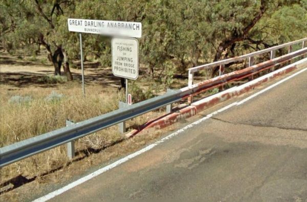
At the Anabranch Bridge Rest Area, water may or may not, be running in the creek, as it is often a dry creek bed. So I think I’ll pass on swimming, and fishing from the bridge hahahaha.
Entrance to the Anabranch Bridge Rest Area
Anabranch Bridge Rest ...
Read More...
,
Anderson VC Rest Area
Entrance to the Anderson VC Rest Area Anderson VC Rest Area location map
, ,
Entrance to the Anglesea Lions Park Reserve Rest Area Anglesea Lions Park Reserve Rest Area location map
, , , , ,
Apollo Bay Rest Area
Entrance to the Apollo Bay Rest Area Apollo Bay Rest Area location map
, ,
Apple Tree Creek Rest Area
The Apple Tree Creek Rest Area has the Flying High Bird Sanctuary across the road if your interested and a cafe. This rest spot has picnic tables, a Public toilet and a few rubbish bins. There is room to park your caravan, you will hear the trucks passing ...
Read More...
, , ,
The Apsley Rest Area is a rather small area, so be wary if you decide to drive in with your large caravan behind you. Entrance to the Apsley Rest Area Apsley Rest Area location map
, ,
The Araluen Creek campground is a secluded camping spot with plenty of flat grassed ground, two public toilets, tank water, rubbish bins and is a nice quiet spot to enjoy a break from driving. Walk over to the creek "it's a seasonal flow" and have a walk ...
Read More...
, , , ,
The Ardlethan Rest Area has long drop toilets, picnic tables and rubbish bins. You will hear some road noise through the night from the Newell Highway. This rest spot straddles both sides of the Highway and it's popular with truck drivers.
Entrance to th ...
Read More...
, , , ,
The Arno Bay Park Rest Area is a nice place for a stroll along the beach or have a bite to eat at one of the picnic tables, then use the public toilets and rubbish bins. Entrance to the Arno Bay Park Rest Area Arno Bay Park Rest Area location map
, , , ,
The Arrino Siding Rest Area is great place for an overnight stop if you have a caravan, or if you are driving and need a rest. There is a flushing public toilet, picnic tables, rubbish bins, but very limited shade. The Arrino Siding Rest Area is on the co ...
Read More...
,
Arrowsmith Rest Area
The Arrowsmith Rest Area, has a a few small trees for shade, a public toilet, fireplaces with bbq, undercover picnic tables and rubbish bins. It's located on a gravel surface just off the Brand Highway. No Overnight Camping Permitted This is strictly a Re ...
Read More...
, , , ,
Arve River Picnic Area is a rather nice spot for a picnic, it's situated on the bank of the Arve River, just off the main road and in amongst the forest, with roughly 4 parking spots if you're in a campervan. There are picnic tables, flushing public toile ...
Read More...
, , , , ,
Entrance to the Atkinson Park Rest Area Atkinson Park Rest Area location map
, , ,
Attack Creek Rest Stop
Attack Creek Rest Stop has some history attached to this place, and there is a cairne plaque dedicated to John McDouall Stuart and party on what occurred on 25th June 1860 an it's well worth reading. There is plenty of room to park with a few trees for sh ...
Read More...
, , , ,

The Baan Hill Reserve Picnic Area is a popular spot for the 4x4 enthusiasts not far from the Ngarkat Conservation Park HIstoric site. Baan Hill Reserve Picnic Area location map
, , , ,
Badcoe VC Rest Area
If stopping at the Badcoe VC Rest Area has picnic two tables with a beautiful expansive peace of landscape and Lake George, water is not always present in it, so don't get excited at the prospect of catching fish.
Entrance to the Badcoe VC Rest Area
B ...
Read More...
,
The Baden Park Rest Area has plenty of parking spaces, long drop toilet, wood fired bbq, undercover picnic table with rubbish bins and tank water. There's really not a lot to do here, apart from taking a break from driving, and contemplate how hard it was ...
Read More...
, , , , ,
The Baden Powell Mine Rest Area has picnic tables with very limited shade, and plenty of room to park quite a few caravans and campervans on a gravel surface. Entrance to the Baden Powell Mine Rest Area Baden Powell Mine Rest Area location map
Entrance to the Bahloo Rest Area Bahloo Rest Area location map
Entrance to the Balmattum Rest Area (Northbound) Balmattum Rest Area (Northbound) location map
, , , ,
Ban Ban Springs Rest Area 24 Hour Limit
From the Ban Ban Springs Rest Area has a clear flowing spring bubbling up around rocks, and with an interesting plaque and mural depicting the early inhabitants, the Wakka Wakka's. From here take a short walk up the Burnett Highway to the Roadhouse and gr ...
Read More...
, ,
The Bangalow North Rest Area access is from southbound traffic only, with a great view if you decide to pop in for a minute or two. Entrance to the Bangalow North Rest Area Bangalow North Rest Area location map
, ,
The Bannister Rest Area has picnic tables and a rubbish bin, there are some trees for shade and plenty room for big rigs and caravans. Entrance to the Bannister Rest Area Bannister Rest Area location map
,
The Barbour Park is a beautiful place by the river and plenty of room to park your caravan. There are free bbqs, toilets & hot showers, and swimming pool accross the road and you can walk to the main shopping centre on the Old Hume Highway, and spend ...
Read More...
, , , , ,  ,
,
Barcaldine East Rest Area
The Barcaldine East Rest Area has a toilet, picnic tables, rubbish bins a bit of room to park with limited shade. There's not have a lot to do here, apart from take a rest driving, and watch the occasional aeroplane land at the airport across the road.
E ...
Read More...
, ,
At the Barcoo River Rest Area you can take a short break from driving. This spot is set well back from the highway with plenty of shade to select from, with undercover picnic tables, rubbish bins, and quiet a few shady spots to park your caravan.
Entran ...
Read More...
,
If staying overnight at Barmedman Mineral Pool Rest Area you can visit the mineral pool which is spacious and salty. There are shower facilities to wash away the salt after your dip, or have bbq.
Minimum Camping Fees apply, and a small fee for the shower ...
Read More...
, , ,
Entrance to the Barmera Apex Park Rest Area Barmera Apex Park Rest Area location map
, , , , ,
Entrance to the Barnadown River Reserve Barnadown River Reserve location map
, , ,
The Barraba Lions Park Rest Area is a credit to the Lions and Shire council. This is pleasant little area adjacent the main road, offering a bit of shade and covered picnic tables, bbqs and long drop toilets.
Entrance to the Barraba Lions Park Rest Area ...
Read More...
, , , , , ,
The Barradale Rest Area has a few picnic tables, rubbish bins, and plenty of level space just off the North West Coastal Highway. Be careful if you decide to go further off the rest area in wet weather, you might get bogged and have to wait for the ground ...
Read More...
, , ,
Entrance to the Barwidgee Rest Area Barwidgee Rest Area location map
, ,
The Bass Valley Reserve Rest Area. This is a nice spot with quite a bit of room to park your caravan. There is an onsite toilet, and a few picnic tables set among the gum trees.
THE LOCAL COUNCIL HAS PERMANENTLY CLOSED THIS REST AREA
Entrance to the ...
Read More...
, , ,
The Battery Rock Rest Area is a great place to stop and stretch the legs. Plenty of parking available and toilet facilities all set back away from the road with some shade available.The area gets its name "The Batteries" from rock formations on each side ...
Read More...
,
Baxter Rest Area 24 Hour Limit
The Baxter Rest Area has public toilets, and a black water dump point, picnic tables, rubbish bins, and lots of level ground to put your caravan on. This site is off the Eyre Highway and set well back from the main road, with a few small trees offering so ...
Read More...
,  ,
,
Bea Bea Creek Rest Area
The Bea Bea Creek Rest Area has a few spots to park your caravan, and only a few small trees for shade, there is a rubbish bin here to keep you company and not much else. This site is on a gravel surface just off the Great Northern Highway on a gentle slo ...
Read More...
Beaconsfield Showground Rest Area 12 Hour Limit
Entrance to the Beaconsfield Showground Rest Area Beaconsfield Showground Rest Area location map
, , ,
Beardy Waters Rest Area
The Beardy Waters Rest Area is a quite area and room for your caravan with some shady trees to park under, and quite close to the River. There is undercover picnic tables and fireplace base bbqs, and you can drop a line in or have a paddle in your Kayak w ...
Read More...
, , , , ,
Beardy Waters Woodland Park Rest Area
Please Note: Beardy Waters Woodland Park is intended to be a Rest Area Only, and strictly day use for picnics, bush walking, fishing, etc.
No Overnight Camping of any type is permitted.
Entrance to the Beardy Waters Woodland Park Rest Area
Beardy Wat ...
Read More...
, , , ,
Bears Lagoon Fruit Fly Rest Area
The Bears Lagoon Fruit Fly Rest Area has plenty of room to park your caravan. There are a few picnic tables and rubbish bins, and the lagoon is not to far away if you want to try some fishing.
Entrance to the Bears Lagoon Fruit Fly Rest Area
Bears Lag ...
Read More...
, ,
The Beasley River Rest Area has a public toilet, fire places, picnic tables and some small tree for shade. It's is set back a few hundred metres from the Nanutarra Wittenoom Road and runs parallel with it for a few kilometers, use the GPS coordinate below ...
Read More...
, ,
Beatrice Hill Rest Area
Entrance to the Beatrice Hill Rest Area Beatrice Hill Rest Area location map
Beau Morton Park Rest Area
From the Beau Morton Park Rest Area you can take a stroll along edge of Racecourse lake, maybe throw a line in just for fun, you never know... they might be on the bite, or you could take the kayak of the the roof rack and have a paddle.
Entrance to the ...
Read More...
, , , ,
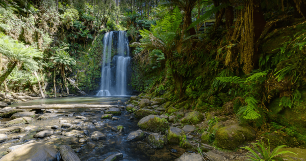
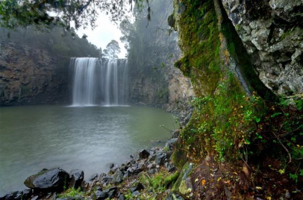
Beauchamp Falls Reserve
360 panorama of the Beauchamp Falls Beauchamp Falls Reserve location map
Beazleys Bridge Rest Area
The Beazleys Bridge Rest Area is just off the Ararat-St Arnaud Road, it's a nice shady spot to take a break from driving and grab a bite to eat. Entrance to the Beazleys Bridge Rest Area Beazleys Bridge Rest Area location map
Entrance to the Beckom Rest Area Beckom Rest Area location map
,
The Bedunburra East Rest Area has ample room to park your caravan or motorhome, there are a few rubbish bins in the middle of a large level gravel area that's a popular spot for truckies so please make sure not to block them. There is not a lot to do here ...
Read More...
The Beemery Rest Area is close to the Bogan River, it runs near the southerly end of this rest area, and is within easy walking distance for photo opportunities, and a bit of exercise. Beemery Rest Area location map
, 
Entrance to the Bega Lookout Park Rest Area Bega Lookout Park Rest Area location map
,
Beleringar Creek Rest Area
When visiting the Beleringar Creek Rest Area you can walk over to Sandy Creek and checkout how much water is flowing. I wouldn't be unpacking the kayak in anticipation just yet. I tagged fishing at this location, but maybe catching a yabby might be more a ...
Read More...
, , ,
Bellbird Creek Rest Area
When at the Bellbird Creek Rest Area you can pop into the pub for a meal while your here. Entrance to the Bellbird Creek Rest Area Bellbird Creek Rest Area location map
,
At the Belyando River Rest Area has an undercover picnic table and you can stop and stretch the legs and you have just about done all there is to do here. Be wary of the wet season if you intend to stop overnight, flat country and flash flooding go togeth ...
Read More...
The Ben Hall Park Rest Area is on the main Highway just before the ACT border, with a few covered picnic tables and bins, and some trees spread out if you feel like stretching your legs.
Entrance to the Ben Hall Park Rest Area
Ben Hall Park Rest Area ...
Read More...
, ,
Entrance to the Benalla North Truck Parking Rest Area (Northbound) Benalla North Truck Parking Rest Area (Northbound) location map
, , ,
At the Benaraby Public Campgrounds there are cold showers available, tap water, a public toilet, picnic tables, bbqs, some rubbish bins and you can get phone reception here.
Entrance to the Benaraby Public Campgrounds
Boyne River Rest Area location ma ...
Read More...
, , , , , , ,
The Bendemeer Park Rest Area is located next to the Watson Creek quite a nice place to pull over and relax a bit. Note: No Camping Permitted Entrance to the Bendemeer Park Rest Area Bendemeer Park Rest Area location map
Bendick Murrell Rest Area
Entrance to the Bendick Murrell Rest Area Bendick Murrell Rest Area location map
, ,
Berriwillock North Rest Area
The Berriwillock North Rest Area is a Truck Stop along the Calder Hwy and next to the Railway Line. Entrance to the Berriwillock North Rest Area Berriwillock North Rest Area location map
,
Berriwillock Tynan Park Rest Area
At the Berriwillock Tynan Park Rest Area you can pop over to the Golden Crown Hotel for a bite to eat, use the public phone out front, or buy a paper from the Post Office Newsagent.
Entrance to the Berriwillock Tynan Park Rest Area
Berriwillock Tynan ...
Read More...
, ,
The Berry Jerry Rest Area has plenty of shady spots to stop on a hot day. There are public toilets, picnic tables and rubbish bins and is a popular Truck stop and it's set-up accordingly to accommodate big rigs, so make sure you park with them in mind.
E ...
Read More...
, ,
Berry Springs - Territory Wildlife Park
Entrance to the Berry Springs - Territory Wildlife Park Berry Springs - Territory Wildlife Park location map
,
The Bethungra Rest Area is a short walk along the Olympic Hwy, to the Old Bethungra Hotel and remember to take your camera with you. Entrance to the Bethungra Rest Area Bethungra Rest Area location map
, , ,
The Bewong Rest Area is a popular place to pull over for many travellers, there is a public toilet, picnic tables and rubbish bins here. Pop over to the Caltex Roadhouse for a bite to eat, and if you need a few bits and pieces for your pantry.
Entrance t ...
Read More...
, ,
The Bicentennial Gardens Rest Area has a public toilet, tap water, undercover picnic tables and rubbish bins and plenty of space to park your rig, and close to the Aldi Supermarket, so take advantage and stock up on supplies (GPS -28.850545,153.553775)
E ...
Read More...
, , ,
The Big Spring Creek Rest Area is a good overnight location to stop prior to entering into the Bungles, so this place can get pretty crowded at times. There are Public Long Drop Toilets, undercover picnic tables, and bbq facilities and some trees for shad ...
Read More...
, , , ,
Entrance to the Billabong Creek Rest Area Billabong Creek Rest Area location map
,
The Bilpin Reserve Rest Area has flushing toilets, undercover picnic tables and some shady spots to park your caravan under. This reserve is set back a short distance from Bells Line Road, and it's a nice open area to let the kids go wild for a few minute ...
Read More...
, , ,
The Bilyana Rest Area has all requirements needed with a rest area it has a public toilet, and undercover picnic tables with a few rubbish bins and room to park your caravan. This rest area can get quiet busy with grey nomads.
Entrance to the Bilyana Res ...
Read More...
, ,
The Bindoon Hill Rest Area Bindoon Hill is situated northeast of Mount Byroomanning and this rest area is located on both sides of the Great Northern Highway. There is a public toilet, picnic tables, fireplace with bbqs, and some trees for shade with room ...
Read More...
, , ,
The Binjour Range Rest Area is a rather pleasant spot, set back from the main road in amongst tall trees, with no noise from passing traffic. This is a nice spot to stay overnight, with relatively level ground, a public toilet, undercover picnic tables an ...
Read More...
, , ,
Birdcage River Reserve Rest Area
The Birdcage River Reserve Rest Area has lots of room for a caravan and campers covers both sides of the road and is a large area with access to the Murrumbidgee River and plenty of places to rest for an hour or two or try to catch a fish. There are compo ...
Read More...
, , ,
Entrance to the Black Rock South Rest Area Black Rock South Rest Area location map
Black Springs Rest Area
Entrance to the Black Springs Rest Area Black Springs Rest Area location map
, , ,
The Black Stump Mundubbera Rest Area is a nicely set up rest area, it has flushing toilets, good water, internet, a free camp kitchen with plenty of tables, seats and a children's playground.
Entrance to the Black Stump Mundubbera Rest Area
Black Stum ...
Read More...
, , ,
At the Blackall Park Rest Area stop and have a picnic using the undercover table and chairs, and watch the occasional car or truck go by. Entrance to the Blackall Park Rest Area Blackall Park Rest Area location map
, ,
The Blackburn Creek Rest Area doesn't have a lot to offer here, maybe explore a dry creek bed, or count the cars that go by. Entrance to the Blackburn Creek Rest Area Blackburn Creek Rest Area location map
,
Entrance to the Blackbutt Reserve Blackbutt Reserve location map
, ,
Blackwater Lions Park Rest Area
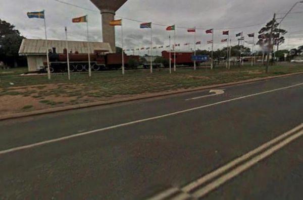
From the Blackwater Lions Park Rest Area you can let the Kids go wild on the Stationary Steam Train they have in this park. There are 6 major open cut coal mines located in the area, and just up the road you will find this Dragline Bucket to admire and ta ...
Read More...
, , , ,
The Blandford Rest Area has a public toilet block, undercover picnic tables and rubbish bins, plus there are fixed BBQ fireplaces scattered around also. The road is a bit on the tight side for large rigs, so you might want to check it out first before com ...
Read More...
, , , , ,
Entrance to the Blind Joe Creek Rest Area Blind Joe Creek Rest Area location map
, , ,
Entrance to the Bloodwood Ridge Rest Area Northbound Bloodwood Ridge Rest Area Northbound location map
Bluebird Rest Area
The Bluebird Rest Area is a large level gravell area with a picnic table, fire pit and rubbish bins. There is plenty of space to park your caravan, and this is a popular truck stop. There are a few tracks just off the main parking area for the more advent ...
Read More...
, ,
The Bluewater creek runs alongside the Bluewater Park Rest Area is a lovely park area with a clean toilet block and dump point, picnic tables plus a playground for the kids, so check it out while your there.
Entrance to the Bluewater Park Rest Area
Bl ...
Read More...
, , , , , , ,
The Bluff Rest Area is a great stop over if your interested in Trains, you will be able to see some with many carriages, making some of these trains over two kilometres in length from end to end. Bluff is a major interchange for coal trains in the region. ...
Read More...
, ,
Bluff Rock Lookout is an impressive rock feature with a sad Aboriginal story of a massacre that took place in 1884. There is room to park your caravan, long drop toilets, bbqs, undercover picnic tables and rubbish bins, and a pretty creek with some nice r ...
Read More...
, , , ,
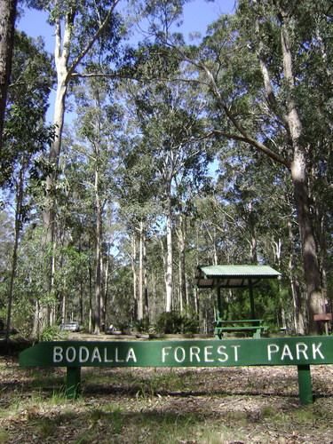
Bodalla Park Rest Area is an awesome spot, great facilities and close to town, and good for caravans and camper vans. There are also some large flat gravel sites to accommodate large caravans and car, and plenty of nice grassy areas to pitch tents. Long d ...
Read More...
, , , ,
The Bodallin Pioneers Park has a nice childrens playground and an undercover picnic table and it's located next to the Bodallin Roadhouse, so you can get some food and fuel at this stopover, remember that these guys maintain this parking area.
Entrance t ...
Read More...
, , ,
The Boggabri South Rest Area is just off the Kamilaroi Highway, with room to turn and park your caravan. There is an undercover picnic table, tank water, rubbish bins and public toilets with wheelchair access located here.
If your visiting the Boggabri S ...
Read More...
, , ,
The Bogolong Creek Rest Area is set amongst tall trees and a very small creek if you care to walk to it. No chance of catching any fish or boating at this location.
Entrance to the Bogolong Creek Rest Area location map
Bogolong Creek Rest Area Locatio ...
Read More...
,
Bohena Creek Rest Area
Bohena Creek Rest Area is a large asphalted and slightly elevated spot with plenty of room to park all sized caravans and motorhomes. There are trees running alongside the rest area to park under with public toilets offering wheelchair access and a few ru ...
Read More...
, , ,
The Bon Bon Rest Area is set back from the Stuart Hwy this rest stop has a public telephone, toilets, an undercover picnic table, rubbish bins and an emergency supply of drinking water, as with all tank water, its best to boil your water first before drin ...
Read More...
, ,
Bookaloo Rest Area
Entrance to the Bookaloo Rest Area Bookaloo Rest Area location map
If your at the Bookham Park Rest Area has flushing public toilets with wheelchair access, undercover picnic tables and ample shade for travellers to park under. While your here pop over and take a look at the old Church while your in Bookham, It's just ac ...
Read More...
, ,
The Bool Lagoon Turnoff Rest Area is reasonably level with an information wall and an undercover picnic table. Entrance to the Bool Lagoon Turnoff Rest Area Bool Lagoon Turnoff Rest Area location map
,
Boolaboola Rest Area
The Boolaboola Rest Area has a lot of room for caravans, motorhomes and trucks, on a level gravel surface, but no shade trees here. There are picnic tables, rubbish bins and it's just off the Eyre Highway if you need a place stay overnight, there are some ...
Read More...
The Boolooroo Rest Area is next to the Gydir River so you might be able to catch dinner here. There is a public toilet and undercover picnic tables and a few rubbish bins, with plenty of room to park quite a few caravans.
From the Boolooroo Rest Area you ...
Read More...
, , , , ,
Boondi Lookout Rest Area
The Boondi Lookout Rest Area is on the verge ot the Great Eastern Highway with a rubbish bin and no shade. You are close to the highway and will hear every passing car and truck day and night. There's not much to do here apart from taking a rest from the ...
Read More...
,
Booroorban Rest Area
The Booroorban Rest Area is set well back from the Cobb Highway, next to the Nyangay Creek, which has seasonal flows, there is a bit of shade and a place to rest before heading off again.
Entrance to the Booroorban Rest Area
Booroorban Rest Area locat ...
Read More...
,
The Border East Rest Area is a large area with plenty of spots to choose from plus a few tracks into the bush for the more adventurous. Entrance to the Border East Rest Area Border East Rest Area location map
Entrance to the Bororen Memorial Park Rest Area Bororen Memorial Park Rest Area location map
, , ,
Entrance to the Boston Bay Rest Area Boston Bay Rest Area location map
, , ,
Entrance to the Bottle Bend Forest Reserve Picnic Area Bottle Bend Forest Reserve Picnic Area location map
, , , , ,
Bouldercombe Park Rest Area
When at the Bouldercombe Park Rest Area be sure to pop into the Pub which is directly opposite the park, and grab a meal or cold drink to help you on your way. Entrance to the Bouldercombe Park Rest Area Bouldercombe Park Rest Area location map
, , , ,
Boundary Bend East Park Rest Area
Boundary Bend East Park Rest Area has a public toilet and is a nice spot alongside the Murray River to kill a few hours. Entrance to the Boundary Bend East Park Rest Area Boundary Bend East Park Rest Area location map
, , ,
From the Bourkes Bridge Rest Area you can walk over to the bridge and take some fishing tackle with you. Entrance to the Bourkes Bridge Rest Area Bourkes Bridge Rest Area Location Map
, ,
Entrance to the Bowen South Rest Area Bowen South Rest Area location map
, , , ,
The Bowna Rest Area has a public toilet, some undercover picnic tables and BBQ facilities plus a few rubbish bins Entrance to the Bowna Rest Area Bowna Rest Area location map
, , ,
Boyagin Rock Rest Area
The Boyagin Rock Rest Area is a smallish area with two seperate toilets, fireplaces, and tables with no seating. You will need leveling blocks if you stop here, and good walking shoes for the bush walking tracks, roughly 16 kilometers of them in total.
E ...
Read More...
Brachina Creek Rest Area
The Brachina Creek Rest Area is not so level area, but a reasonable distance away from the main road, not really suitable for large rigs. Entrance to the Brachina Creek Rest Area Brachina Creek Rest Area location map
The Braefield Rest Area is wedged between the railway line and Kamilaroi Highway. The rest area is fairly level with picnic tables, fireplaces, rubbish bins and plenty of shade to park your caravan under.
Entrance to the Braefield Rest Area
Braefield ...
Read More...
, ,
Branxholme Rest Area
The Branxholme Rest Area is an ideal rest area, with excellent shady areas on the highway. The shady parking bay on the highway has been developed as a commemorative area for soldiers lost during World War One. Byaduk is home to the magnificent Byaduk cav ...
Read More...
, , ,
The Breelong Rest Area has some rubbish bins, bbq facilities along with undercover picnic tables here and some small trees offering some shade from the sun. Entrance to the Breelong Rest Area Breelong Rest Area location map
, ,
Brewarrina Rest Area
The Brewarrina Rest Area is a beautiful little spot down near the old lift span bridge in Brewarrina. There are lots of room for caravans and campers to set up camp at, but access could be boggy if rains. There are undercover picnic tables, a fitness gym, ...
Read More...
, , , , , ,
Brickmakers Beach Rest Area
The Brickmakers Beach Rest Area is a nice day rest area, with the beach only a short distance from the car park area. I believe it's a bit too rocky for fishing on the left hand side, but you are welcome to prove me wrong. My preference is over off the sa ...
Read More...
, , , , ,
Bridgewater on Loddon Rest Area
The Bridgewater on Loddon Rest Area has a public toilet, and plenty of room to park your camping rigs. When reasonable water levels flow, the Mill Rapid downstream of the Calder Hwy bridge provides technical whitewater kayaking of Grade 3 standard featuri ...
Read More...
, , ,
Brightlight Saddle Rest Area
The Brightlight Saddle Rest Area is on the edge of the Princes Highway, with plenty of room to park your caravan. There are a few picnic tables and a rubbish bin, and plenty of trees for shade.
Entrance to the Brightlight Saddle Rest Area
Brightlight ...
Read More...
Brocklehurst Rest Area
Brocklehurst Rest Area is a large gravel area just a short distance from the Newell Highway with a few trees for shade that you will be sharing with truck drivers, so please allow them plenty of room. There are undercover picnic tables, public toilets and ...
Read More...
, , ,
The Brockway Rest Area has limited shade with plenty of room to park your caravan. This rest area is slightly elevated on a gravel surface and just off the main highway with plenty of room for trucks and caravans.
Entrance to the Brockway Rest Area
Br ...
Read More...
The Brown Mountain Rest Area has plenty of room to pull over for an hour to revive yourself and work out where your next camp will be. There is plenty of level ground to park your caravan or motorhome with a few sparse trees for shade, and a rubbish bin ...
Read More...
 , ,
, ,
Browns Flat Rest Area Southbound with plenty of parking for both light and heavy vehicles. There are flushing public toilets with wheelchair access, covered picnic tables and rubbish bins. The stop is a large area with plenty of room for large caravans mo ...
Read More...
, , ,
Bulahdelah South Rest Area
The Bulahdelah South Rest Area is a popular truck stop, all I can suggest is to keep out of the sun, pick a shady spot near the trees, rest a bit, then on your way again.
Entrance to the Bulahdelah South Rest Area
Bulahdelah South Rest Area location m ...
Read More...
, ,
To get to the Buldania Rocks you will need to travel down a gravel road for approximately 2 kilometers with lots of room to park in a larger cleared area. Entrance to the Buldania Rocks Buldania Rocks location map
The Bulla Park Rest Area has plenty of room to park your caravan with some small trees for shade. There is an undercover picnic table, wood fired bbq facilities and rubbish bins. This is a located in a desolate countryside, don't wander too far away from ...
Read More...
, , ,
Bundaburrah Rest Area
Entrance to the Bundaburrah Rest Area Bundaburrah Rest Area location map
, ,
Entrance to the Bundalong Rest Area Bundalong Rest Area location map
,
Entrance to the Bundure Rest Area Bundure Rest Area location map
, ,
The Bung Bong Rest Area has an old decommissioned Anglican church, which has a date inscription above the door showing 1876. Entrance to the Bung Bong Rest Area Bung Bong Rest Area location map
,
The Bunjil Rocks consists of a large rock formation which includes several gnamma holes and water catchment areas. It's a bit off the beaten track so I'd leave the caravan behind, and simply explore with your 4x4x.
This is another rough bush camp where y ...
Read More...
Bunyip River Rest Area
The Bunyip River Rest Area Set back a short distance from the Princes Freeway, you can let the kids run without fear of them getting run over. Entrance to the Bunyip River Rest Area Bunyip River Rest Area location map
, , , , ,
Entrance to Burdett Park Burdett Park Location Map
, ,
The Burkett Road Rest Area has no shade trees, a public toilet, rubbish bins, undercover picnic table with an information board, all located on a large gravel area just off the North West Coastal Highway with room to park all sized rigs. There is
Entranc ...
Read More...
, , ,
Burnt Creek Rest Area
The Burnt Creek Rest Area is a nice shady place to pull over for a rest, have a sit on the picnic tables and relax a bit. Entrance to the Burnt Creek Rest Area Burnt Creek Rest Area location map
,
The Burra Range Rest Area has a scenic lookout that is worth checking out. The rest area itself is reasonably flat with some undercover picnic tables and rubbish bins and is locate on the edge of the Flinders Highway so you will hear passing traffic.
Ent ...
Read More...
At the Burra Range Rest Area 2 there is absolutely nothing to do here, apart from take a break from driving, and a grab a bite to eat or take the dog for a walk. Entrance to the Burra Range Rest Area 2 Burra Range Rest Area 2 location map
Burracoppin Centenary Park
The Burracoppin Centenary Park has flushing public toilets, some shade trees, undercover picnic tables, bbqs, water taps and just across from the Tavern where you can grab a cold drink to help wash away the dust. This park is on the corner of Great Easter ...
Read More...
, , , , ,
Burrawan Rest Area
Entrance to the Burrawan Rest Area Burrawan Rest Area location map
,
Burren Junction Baths Reserve Camping Area
Burren Junction Baths Reserve Camping Area has plenty of room to park your caravan at this is an Iconic mineral bath. There are public toilets and showers, picnic tables and rubbish bins, plus the council ranger collects camping fees daily.
Entrance to t ...
Read More...
, , ,
Burrill Lake Park Rest Area
Entrance to the Burrill Lake Park Rest Area Burrill Lake Park Rest Area location map
, , , , ,
Bushy Parker Park Rest Area 48 Hour Limit
The Bushy Parker Park Rest Area has flushing public toilets and a blackwater dump point, water taps connected to town water, picnic tables, bbqs next to a beautiful creek. The local store and police station are just down the road. Understandably this is a ...
Read More...
, , , , , , ,
Calder Inbound Rest Area Southbound Only
At the Calder Inbound Rest Area Southbound, you can grab a bite to eat or fill your fuel tank plenty of parking at the rear of this stop. Public Telephone onsite.
Entrance to the Calder Inbound Rest Area Southbound Only
Calder Inbound Rest Area Southb ...
Read More...
, ,
Calder Outbound Rest Area Northbound Only
At Calder Outbound Rest Area Northbound, you can fill up with fuel and pop in for a choice of takeaways with plenty of space to park your Caravan or RV onsite. There is also a public telephone and Tourist Information available.
Entrance to the Calder Out ...
Read More...
, ,
The Calder Woodburn Memorial Rest Area is right on the edge but separated by a wire crash barrier and very easy to miss the turn-off. There are a few picnic tables where you can enjoy a meal and watch the traffic go by.
Entrance to the Calder Woodburn Me ...
Read More...
,
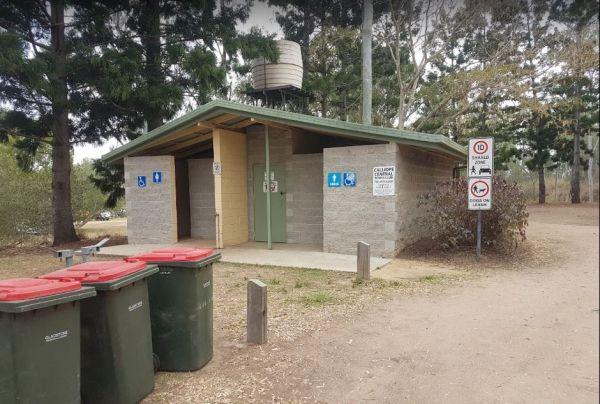
Calliope River Rest Area 48 Hour Limit
The Calliope River Rest Area has spacious camping areas on both sides, with the opportunity to sleep the night next to the Calliope River. There are public drop toilets, fireplaces and fishing and it is a popular spot to free camp.
Be Aware: Crocodiles a ...
Read More...
, , , , ,
At the Caltigeena Rest Area you can haul your rig in here and take a break from driving in the heat. There is no shade to speak of, but the picnic table is under cover, and plenty of space to park.
Entrance to the Caltigeena Rest Area
<h3>Caltigee ...
Read More...
, ,
Camerons Reserve rest area is set back a short distance from the Western Highway, with room to park your caravan. There is a public toilet with an interesting night lighting system for the toilet block.
Entrance to the Camerons Reserve Rest Area
Camer ...
Read More...
Water is limited at the Campaspe River Rest Area, the river runs at trickle in the river most times, and it's worth the time to walk over and take a peek. This location is quite a popular rest area, so expect company if you decide to stay overnight.
Entr ...
Read More...
, , , ,
Campbell Town Lions Park Rest Area
The Campbell Town Lions Park Rest Area is a place to relax and take in the tranquil scenery, grab your kayak and g for a paddle, try your luck at catching dinner, grab your bikes and ride around town, all in all plenty to do here.
Entrance to the Campbel ...
Read More...
, , , ,
Campbells Reserve Camping Area
The Campbells Reserve Camping Area is a genuine bush camp where you bring and take everything with you, located on the banks of the Murrumbidgee River, fishing at your doorstep, and generally your on your own as these sites are hardly ever marked with cle ...
Read More...
The Canadian Gully Bushland Reserve Rest Area you might be lucky and catch a yabbie or two for the tucker bag. Entrance to the Canadian Gully Bushland Reserve Rest Area Canadian Gully Bushland Reserve Rest Area location map
, , ,
The Candelo Rest Area has a Sunday Market and public toilet close to a children's playground that's worth visiting, plus a good general store and café directly opposite so you can easily restock your pantry, plus a public phone-box.
Entrance to the Cande ...
Read More...
, , , ,
The Cane River Rest Area located on the banks of the Cane River, close to the road is level with no shade to park your caravan, but you can go inland a bit further away from the highway, for a bit more privacy. Managed by Parks and Wildlife - NO CAMPING P ...
Read More...
,
Cann River Rest Area
The Cann River Rest Area is a long slightly raised gravel area running alongside the Princes Highway, Not much to do here, apart from take a power nap, and then be on your way again.
Entrance to the Cann River Rest Area
Cann River Rest Area location m ...
Read More...
The Clarence Pirie Memorial Park has public toilets and rubbish bins and is next door to the Capertee Rest Area, with a children’s playground. You can also take a short stroll around town quite easily and be back in next to no time a all.
Entrance to the ...
Read More...
, , ,
The Caragabal Rest Area has a small area to park on with a public toilet and no shade, you can take a walk down the street to stretch your legs and maybe make a phone call from the telephone box.
Entrance to the Caragabal Rest Area
Caragabal Rest Area ...
Read More...
, ,
The Cardwell Park Rest Area is a nice place for a break from the road or for a picnic. There is soft grass, shady trees, picnic shelters and tables and you can take a stroll along the beach, and take in the sea air for an hour or two.
Entrance to the Car ...
Read More...
, ,
Carlabeencabba Rockhole Rest Area
The Carlabeencabba Rockhole Rest Area has no facilities apart from a public phone and picnic tables and reasonably level ground to park your caravan on. This rest area is set back approximately 500 metres from the Eyre Highway.
Entrance to the Carlabeenc ...
Read More...
The Caroline Pool Rest Area, is a nice naturally formed water hole, so make sure you have your camera on hand to capture the wildlife at dusk coming to drink. The water level varies depending on drought conditions.
Turn off Duncan Road at GPS -18.240968, ...
Read More...
, , ,
The Casey Weir Rest Area is located on the Broken River set well back from the Midland Hwy and just a short walk to the Weir itself. Entrance to the Casey Weir Rest Area Casey Weir Rest Area location map
, , ,
The Casino South Rest Area is on the edge of the Braemar Forest Park, with plenty of shade available and a public toilet, plus picnic tables and rubbish bins. Entrance to the Casino South Rest Area Casino South Rest Area location map
,
The Cassilis Park Rest Area is a big spacious area covered picnic tables, public long drop toilet, fire pits and rubbish bins. This spot is set well back and elevated from the Golden Highway, you will have access to many shady places to park your caravan. ...
Read More...
, ,
The Casterton Park Rest Area is on the banks of the Glenelg River, and the Casterton Bridge is within easy walking distance. Entrance to the Casterton Park Rest Area Casterton Park Rest Area location map
, , ,
The Casuarina Sands Reserve is a really great place to swim in freshwater then have a bbq, and undercover picnic tables, then use the public toilets. This picnic area is located on the banks of the mighty Murrumbidgee River.
Entrance to the Casuarina San ...
Read More...
Entrance to the Cathcart Rest Area Cathcart Rest Area location map
,
Caurnamont Reserve Rest Area
From the Caurnamont Reserve Rest Area you can take the ferry across the Murray River to Purnong Landing. Entrance to the Caurnamont Reserve Rest Area Caurnamont Reserve Rest Area location map
The Cawsey Rotary Park is a nice place to have a break and use the public restroom, or sit down at the undercover picnic tables with nice views overlooking a man made lake. Entrance to the Cawsey Rotary Park Cawsey Rotary Park location map
,
The Ceratodus Rest Area is on the banks of the Burnett River, There is a railway building that has been moved onsite, undercover picnic tables and rubbish bins, so you can refresh oneself, ready for the next destination.
Entrance to the Ceratodus Rest Ar ...
Read More...
, ,
The Chandada Pioneer Park runs alongside the main highway, level area and OK for a break from driving and a picnic using the table provided. Entrance to the Chandada Pioneer Park Chandada Pioneer Park location map
,
The Chapman Valley Rest Area has a few trees for shade, undercover picnic tables, undercover bbq facilities, public toilet block, rubbish bins, and it's set back on a large gravel surface, with plenty of space to park the largest caravan.
Entrance to the ...
Read More...
, , ,
The Cherrypool Park is next to the Glenelg River. with room to maneuver and places to park along this dirt road. You can try your hand at fishing or grab a camera and stretch your legs. If your in need of the toilets you have a around half a kilometer to ...
Read More...
, , ,
The Cherrypool Park Rest Area is next to Cherrypool waterhole on the Glenelg River It's a nice place to stop and have a picnic. Entrance to the Cherrypool Park Rest Area Entrance to the Cherrypool Rest Area
, , ,
Chiltern Park Rest Area has a short walk to some historic Gold diggings and an undercover bbq, picnic tables and public toilet, with plenty of room to park your caravan.
Entrance to the Chiltern - Ironbark Rest Area
Chiltern - Ironbark Rest Area locat ...
Read More...
, , , ,
At the Chinaman Creek Dam Recreation Park you should keep an eye open for freshwater crocodiles in the dam, take your kayak for a spin and a camera in case something pops up out of the water with big teeth, or try your hand at fishing.
NO CAMPING PERMITT ...
Read More...
, , , ,
Chinchilla Weir Camping Area
While at the Chinchilla Weir Camping Area you will enjoy hearing hardly any traffic noise, as the main camping area is set well away from the road. Approx 8 powered sites - donation can be made at tourist info centre for power. Drop the kayak and go for a ...
Read More...
, , , , ,
If stopping at the Chowne VC Memorial Rest Area it's worth your time to read as to whom this site is named after, and understand how a brave man died for his country. This rest spot has a public toilet, tank water, some undercover picnic tables and a few ...
Read More...
, ,
At the Clairview Park Rest Area Fishing is mainly at High Tide, unless you want to walk forever in the mud, and run like hell when the tide turns hahahaha, and when you do catch a fish there are electric and wood-fired BBQs available.
No Camping Permitte ...
Read More...
, ,
The Clarendon Rest Area has plenty of trees to keep the sun off you, picnic tables and some rubbish bins, and lots of room to park your caravan. Entrance to the Clarendon Rest Area Clarendon Rest Area loction map
,
The Claude Wharton Weir Park is busy in the morning with locals taking a walk, nice boat ramp and plenty of opportunities to get your line wet, it's well worth a peek.
NO CAMPING PERMITTED
Entrance to the Claude Wharton Weir Park
Claude Wharton Weir ...
Read More...
, , , , ,
The Clay Wells Rest Area is a level area that runs parallel to the Princes Highway with not a lot between you and the road. Entrance to the Clay Wells Rest Area Clay Wells Rest Area location map
,
Entrance to the Clover Hills Rest Area Clover Hills Rest Area location map
, ,
Club Terrace Rest Area
Entrance to the Club Terrace Rest Area Club Terrace Rest Area location map
The Coach Road Rest Area is a Popular Truck overnight rest area so expect to have plenty of company if you decide to stay here. Entrance to the Coach Road Rest Area Coach Road Rest Area location map
, , ,
Cobar Free Camp Truck Stop is close to main road intersection it can be a bit noisy. It's a great overnighter on edge of town, skip bins, public toilets and picnic tables with plenty of room to park but no shade.
Entrance to the Cobar Truck Stop Rest Are ...
Read More...
Cobbledicks Ford Reserve
The Cobbledicks Ford Reserve is a historic site with the river crossing at the Werribee River, it has bluestone pavers laid across it, and you can go for a walk along the tracks. This location is very close to Tarneit, Hoppers, Werribee and Wyndham Vale. ...
Read More...
, , ,
The Cockatoo Lake Reserve is a lovely bush camp where you can take the kids with you. The lake itself may or maynot have water in it, due to seasonal drought conditions. Cockatoo Lake Reserve location map
, , ,
Cockburn Rest Area
Entrance to the Cockburn Rest Area Cockburn Rest Area location map
, ,
Entrance to the Cockburn South Rest Area Cockburn South Rest Area location map
The Cohen Rest Area has a few fireplaces with plenty of space to park your caravan with easy access for all sized rigs, there are some rubbish bins and lots of shady spots to choose from. If you do stay overnight, you will hear some traffic noise as truck ...
Read More...
, ,
The Colinton Rest Area is a short distance off the Monaro Highway with a public toilet, picnic tables and some rubbish bins, with plenty of room to park. Colinton Rest Area entrance area Colinton Rest Area location map
,
Entrance to the Collie East Rest Area Collie East Rest Area location map
, ,
The Colona Rest Area with a bit of shade, picnic table and rubbish bin and has room for the dog to have a bit of a run. It's a level gravel area just off the the Eyre Highway with plenty of room to park your caravan or motorhome.
Entrance to the Colona R ...
Read More...
Conara Roadside Park Rest Area why not pop in and take a short break, walk down to the main town for a bit of exercise, pass 33 or so houses, and you’ve seen it all. And the Railway Station.
Entrance to the Conara Roadside Park Rest Area
Conara Roadsi ...
Read More...
, , ,
At the Condamine Park you can let the kids enjoy the slide and a bit of a run around, while you checkout the Condamine River nearby, or walk over to the Pub and grab a meal or cool drink. Entrance to the Condamine Park Condamine Park location map
, , , , ,
Coo-Ee March Memorial Park is a good rest stop option along the Newell Highway. Some shady trees, covered picnic tables and benches and public toilet and rubbish bins, next to the historical society building.
Entrance to the Coo-Ee March Memorial Park ...
Read More...
, , , ,
The Cooinda Reserve Poppet Head Mine Rest Area is a a short walk to the Old mining Poppet Head and get your photo taken next to it. There are bbq facilities, undercover picnic tables and rubbish bins, with plenty of room to park your caravan.
Entrance to ...
Read More...
, ,
Coomandook North Rest Area
The Coomandook North Rest Area turnoff is easy to miss, there is a rubbish bin and picnic table along with limited shade, just just off the Dukes Highway. This is a place to stop when you really need a few minutes rest from driving, then to go on your way ...
Read More...
Coomandook Park Rest Area
The Coomandook Park Rest Area is set just a short distance from the Dukes Highway, not a lot to do apart from resting before heading off again. Entrance to the Coomandook Park Rest Area Coomandook Park Rest Area location map
, ,
Coonawarra Rest Area
The Coonawarra Rest Area is reasonably flat and surrounded by winery vines, it's a rather pretty place to pop in for a few minutes, and have a bite to eat at the picnic table provided.
Entrance to the Coonawarra Rest Area
Coonawarra Rest Area location ...
Read More...
,
Coongan River Rest Area
The Coongan River Rest Area is a flat stretch of gravel with low shrubby trees that offer little shade if any alongside the Marble Bar Road, there is a rubbish bin to keep you company and not much else. If you feel up to it, take a short hike to the Coong ...
Read More...
The Cooper's Creek Rest Area offers plenty of spots to choose from, with time to drop the kayak in and wets its bottom while your there. Entrance to the Cooper's Creek Rest Area Cooper's Creek Rest Area location map
, , ,
At the Cootra Rest Area you can sit at the picnic table and throw rubbish in the bin apart from that nothing really here to do but take a break from driving. Entrance to the Cootra Rest Area Cootra Rest Area location map
The Cooyar Swinging Bridge Park is set well back from the main road. If you need power, walk over to the Pub and grab the key for a small fee. Entrance to the Cooyar Swinging Bridge Park Cooyar Swinging Bridge Park location map
, , , , ,
The get to the Corryong Park Rest Area from Murray Valley Highway, NW into Donaldson St at Corryong College, 800m to saleyards. Exit Dump Point area via the saleyards as the trees have closed off the normal exit.
Entrance to the Corryong Park Rest Area ...
Read More...
, ,
Entrance to the Cowell Park Rest Area Cowell Park Rest Area location map
, , ,
If stopping at the Crawford Creek Rest Area take a rest, and stretch the legs, use the public toilets, or have bbq and picnic at one of the tables, or simply have a yawn or two, and that pretty well sums up this spot.
Entrance to the Crawford Creek Rest ...
Read More...
, , ,
Crooked Creek Rest Area
The Crooked Creek Rest Area, the reek is clean & running, trails to meander along. Lots of birdlife and is a secluded and large area, with plenty of room to choose a campsite from, there are suitable areas for your solar panels to keep you going for a ...
Read More...
, , , ,
The Culburra North Rest Area is reasonably flat and there is a few areas further back on dirt tracks worth a look, but close to train line. Entrance to the Culburra North Rest Area Culburra North Rest Area location map
,
Entrance to the Culgoa South Rest Area Culgoa South Rest Area location map
, , ,
Cullulleraine Rest Area
At the Cullulleraine Rest Area there is not a lot to do, apart from sitting down at the picnic tables, and watch the traffic go by. A couple of rubbish bins are also provided.
Entrance to the Cullulleraine Rest Area
Cullulleraine Rest Area location ma ...
Read More...
From the Cummings Lookout Rest Area you can take a short trip down to the lookout area. It's NOT recommended to take your caravan down, as you may have problems turning around.
Entrance to the Cummings Lookout Rest Area
Cummings Lookout Rest Area loca ...
Read More...
The Curdimurka Siding Rest Area is an old historic railway siding with the rial intack. This "Old Ghan" passenger train used to run passed here up until 1980. It has now been superseded with "all weather" rail route between Tarcoola and Alice Springs .
C ...
Read More...
The Currajong Rest Area has public toilets, a few rubbish bins, a few trees for shade and lots of space to park your caravan. This is a popular truck stop next to the highway, so don't expect to get too much sleep, if you decide to stay overnight here.
E ...
Read More...
, ,
Curraweena Rest Area
The Curraweena Rest Area is set back a short distance from Kidman Way. It's a long strip of asphalt with picnic tables, rubbish bins, and at least one shady tree to park under. This is a popular Truck stop, so expect a few to keep you company if you plan ...
Read More...
,
Cutana Rest Area
The Cutana Rest Area has some fairly level areas to stop at for a break from driving and a picnic, and is located on both sides of the Barrier Highway, apart from that, there's not a lot to do here.
Entrance to the Cutana Rest Area
Cutana Rest Area lo ...
Read More...
The Dadswells Bridge South Rest Area, has a few trees for shade, a couple of picnic tables and rubbish bins. This is a place to pull over when feeling like you need a break from driving.
Entrance to the Dadswells Bridge South Rest Area
Dadswells Bridg ...
Read More...
,
The Dangar Falls Picnic Area has a great photographic opportunity in almost any direction, as long as you're pointing at the waterfall hahaha. It's easy walking along the boardwalk.
Entrance to the Dangar Falls Picnic Area
Dangar Falls Picnic Area loc ...
Read More...
, , , , , ,
The Dangin Rest Area is along a level tree lined gravel stretch of road running next to the Quairading York Road, There is a rubbish bin, plus a bit of shade to park your caravan, and nothing else to do apart from taking a break and continuing your journe ...
Read More...
,
Danyo Rest Area
Danyo Rest Area has a picnic table and seats shaded by some trees. it's a handy place to pull over and take a break from driving. Entrance to the Danyo Rest Area Danyo Rest Area location map
Darbys Falls River Reserve Rest Area
Entrance to the Darbys Falls River Reserve Rest Area Darbys Falls River Reserve Rest Area location map
, , ,
The Darkes Memorial Rest Area has rubbish bins, some small shady trees, and plenty of parking areas that are relatively flat, all set back a short distance from the Eyre Highway on a gravel surface.
Entrance to the Darkes Memorial Rest Area
Darkes Mem ...
Read More...
The Dartmoor Turnoff Rest Area has plenty of room to park your caravan for the night. Shade is fairly limited and there are two picnic tables at your disposal here. Entrance to the Dartmoor Turnoff Rest Area Dartmoor Turnoff Rest Area location map
,
At the David Hall Rest Area you take a break, and have a picnic in the covered tables area, there is no shade here, so don't think you can stay in your van during the day, you'll cook. There is a Monument to Engineer David Hall located here.
Entrance to ...
Read More...
, ,
The De Grey River Rest Area is next to the river, with amazing pools of water along river. This is a very large and popular stopping place for caravanners, there are flushing public toilets with a black water dump point and some rubbish bins. You can take ...
Read More...
, , , ,
Dead Mans Point Rest Area
The Dead Mans Point Rest Area is for fishing and that’s about all there is to do at this location, unless you want to play with your kayak. Entrance to the Dead Mans Point Rest Area Dead Mans Point Rest Area location map
, , ,
The Dederang North Rest Area is a nice place to pull over if you are feeling tired, grab a bite to eat, then on your way again. Entrance to the Dederang North Rest Area Dederang North Rest Area location map
The Derby Park is set well back from the main road, with a river right next to your spot you have pulled over at. If you have a bike with you, ride over to Briseis Lake Entrance to the Derby Park Derby Park location map
, , , , , ,
Derrick VC Rest Area
While stopping at the Derrick VC Rest Area, is a good place for rest with trees for shade, public toilets with hand wash basin, undercover picnic tables, rubbish bins and tank water. Take a look at the Towrang Bridge, it's a Convict built bridge from a by ...
Read More...
, , , ,
Derrinallum Recreation Reserve Rest Area 24 Hour Limit
The Derrinallum Recreation Reserve Rest Area is a free camp run by the local council, so drop some money in town and make a donation if you use this spot.
Entrance to the Derrinallum Recreation Reserve Rest Area
Derrinallum Recreation Reserve Rest Are ...
Read More...
, , , ,
Des Streckfuss Rest Area 24 Hour Limit
The Des Streckfuss Rest Area has public composting toilets, undercover picnic tables and bbq facilities. You can walk to the Gorge Creek, but the water levels will vary with the season, so it may or may not have any water in it, but take your camera anywa ...
Read More...
, , , ,
The Diana's Basin Camping Area is another sandy beach within easy walking distance of your camp, you can try and catch a fish for supper. Entrance to the Diana's Basin Camping Area Diana's Basin Camping Area location map
, ,
Dingo Fence Rest Area
At the Dingo Fence Rest Area the road noise is minimized slightly by the elevated position of this site amongst the trees. Entrance to the Dingo Fence Rest Area Dingo Fence Rest Area location map
The Dinjerra Road Rest Area has plenty of room to park all sized rigs, with public toilets that have hand wash basins and wheelchair access, picnic tables, rubbish bins, fireplaces with bbq facilities and a children's playground. This rest spot is set a s ...
Read More...
, ,
Entrance to the Dobie Highway Park Dobie Highway Park location map
,
The Dodds Bridge Rest Area is set amongst tall gumtrees. Don't expect water in the creek (Unless you are here in winter) so fishing is really not an option here. Entrance to the Dodds Bridge Rest Area Dodds Bridge Rest Area location map
The Dogwood Creek Rest Area is just a short walk to the creek to drop a line in and try your luck, or Pop the Kayak in and take it for a quick explore of the area. Entrance to the Dogwood Creek Rest Area Dogwood Creek Rest Area location map
, , , , ,
Dolo Hill Rest Area
Dolo Hill Rest Area has plenty of parking with public toilets with wheelchair access, undercover picnic tables, fireplaces with bbq facilities and rubbish bins, this is not the quietest place to have a sleep, but you get a nice breeze even in summer.
Ent ...
Read More...
,
The Domblegabby Rest Area, has a fairly level gravel surface to park your caravan. There is a large undercover area and a few shade trees, and lots of rubbish bins. There is tank water here, so make sure you boil the water before drinking it.
Entrance to ...
Read More...
, , ,
Entrance to the Dongara Free Dump Point Dongara Free Dump Point location map
, , ,
Dongara East Rest Area is a large gravel area with some shade trees to park under. There are some picnic tables and rubbish bins at your disposal and is fairly close to the Midlands Road, so could be a bit noisy at times.
Entrance to the Dongara East Res ...
Read More...
, ,
The Douglas Ponds Rest Area is set well away from the Highway and offers a peaceful rest spot, to invigorate you and get you on your way. Entrance to the Douglas Ponds Rest Area Douglas Ponds Rest Area location map
If your tired, pull into the Drain M Rest Area, otherwise keep driving, because all that's here, is a small row of trees for shade, and a rubbish bin on a fairly level surface. Entrance to the Drain M Rest Area Drain M Rest Area location map
,
When stopping at the Drillham Rest Area that has parking spaces on both sides of the road, you can take a stroll along the banks of the creek, paddle your kayak or simply take a quick look around the small town.
Entrance to the Drillham Rest Area
Dril ...
Read More...
, , , ,
Entrance to the Drummond Range Lookout Drummond Range Lookout location map
The Dry Stone Walling Rest Area and it's next to a long dry stone wall. There are a few small trees separating this rest area and the Princes Highway and it's quite close to Lake Tunketta,
Entrance to the Dry Stone Walling Rest Area
Dry Stone Walling ...
Read More...
Dubbo West Rest Area
Entrance to the Dubbo West Rest Area Dubbo West Rest Area location map
,
The Dublin Lions Park Rest Area does not offer a lot of shelter from the sun or road traffic noise, but it's a place to pull over and take advantage of the undercover picnic table.
Entrance to the Dublin Lions Park Rest Area
Dublin Lions Park Rest Are ...
Read More...
, , , ,
The Dublin North Rest Area does not a lot of shelter from the sun or road traffic noise, but it's a place to pull over and take advantage of the undercover picnic table. Entrance to the Dublin North Rest Area Dublin North Rest Area location map
,
If your stopping at the Dululu Rest Area pop in to the Dululu Hotel for showers and power if needed, walk over to the Dee River and cast a line in to try and catch lunch. Entrance to the Dululu Rest Area Dululu Rest Area location map
, , , , , ,
Dumaresq Dam Recreation Area
The Dumaresq Dam Recreation Area is a beautiful, peaceful, atmospheric place to be with plenty of room to park, a children's playground, fireplaces with bbq facilities, good fishing and a few picnic tables and rubbish bins. Just be careful, and check for ...
Read More...
, , , , , ,
Entrance to the Dumboy Creek Rest Area Dumboy Creek Rest Area location map
, ,
The Dunham River Rest Area is a great spot for a short stopover, located on a large gravel area with some shady trees. There are public toilets with a black water dump point, undercover picnic tables and wood fired BBQ's. (Bring your own wood). Water leve ...
Read More...
, , , , ,
The Eadine Springs Rest Area is a good place to stop over for the night for motorhomes, caravans etc. There are some undercover picnic tables, wood fired bbqs, rubbish bins, and some shady trees to park under.
Entrance to the Eadine Springs Rest Area ...
Read More...
, , , , ,
The Edaggee Rest Area is a large gravel area to park your caravan, it has a flushing public toilet with a black water dump point, undercover picnic tables, rubbish bins, but no shade. This is a popular place, so you will have quite a few fellow travellers ...
Read More...
, , , , ,
The Edgeroi Rest Area is a nice place to take a break from driving, there is a public toilet, and picnic tables here. Consider popping into the local shop or fill up with fuel to help this small community.
Entrance to the Edgeroi Rest Area
Edgeroi Res ...
Read More...
, , ,
At the Edi Turnoff Rest Area take your camera over to the bridge over the King River and grab a nice photo to remember this place by. Entrance to the Edi Turnoff Rest Area Edi Turnoff Rest Area Location Map
, , ,
Eight Mile Corner Rest Area 20 Hour Limit
The Eight Mile Corner Rest Area is a large wide and flat area that will take all sized caravans and motorhomes. There is a 20 hour stopover permitted at this rest stop.
Entrance to the Eight Mile Corner Rest Area
Eight Mile Corner Rest Area location m ...
Read More...
,
The El Arish Rest Area is on the banks of the Digger Creek, you can try your luck at catching a fish in the small creek that runs along the rest area. Entrance to the El Arish Rest Area El Arish Rest Area location map
, ,
Ellendale Rest Area 24 Hour Limit
The Ellendale Rest Area is gravel surface with no shade, set back approximately 300 metres from the main road. There are public toilets with a black water dump point, fireplaces, and undercover picnic tables with plenty of room to park your caravan or mot ...
Read More...
, , , , ,
Ellis Bridge Rest Area 24 Hour Limit
Ellis Bridge Rest Area is on the banks of the Mitta Mitta River and it's a nice place to take your camera over to the bridge over the King River, and grab a nice photo to remember this place by.
Entrance to the Ellis Bridge Rest Area
Ellis Bridge Rest ...
Read More...
, ,
Entrance to the Elmore Highway Park Rest Area Elmore Highway Park Rest Area location map
, , ,
Entrance to the Elphinstone North Rest Area Elphinstone North Rest Area location map
, ,
The Endrick River Crossing Rest Area is good for fishing with plenty of images waiting to be captured with your camera. Entrance to the Endrick River Crossing Rest Area Endrick River Crossing Rest Area location map
, ,
Entrance to the Enngonia South Rest Area Enngonia South Rest Area location map
, ,
The Ensay South Rest Area is on the banks of the Tambo River you will pretty much get this place all to yourself. Entrance to the Ensay South Rest Area Ensay South Rest Area location map
, , ,
The Escort Rock Rest Area is a nice little spot off the main road, with plenty of shade to be had. There are undercover picnic tables, fireplaces with bbq facilities, rubbish bins and a few tracks that lead into the scrub, but make sure you know where you ...
Read More...
, , , ,
The Esrine Range Rest Area has some rubbish bins on a gravel strip running parallel to the Great Northern Highway with only a sparse amount of small trees between you and the traffic going by. There is plenty of room to pull your caravan over, so simply e ...
Read More...
While visiting the Euroley Bridge Reserve Rest Area, you can drop the kayak into the Murrumbidgee River via the boat ramp, or fish from the banks and as always take your camera with you.
Entrance to the Euroley Bridge Reserve Rest Area
Euroley Bridge ...
Read More...
, ,
The Evelyn Downs Rest Area has an undercover picnic table and some rubbish bins set on a flat gravel surface, and a more desolate place would be hard to find. On a good note though, its flat as a tack as far as the eyes can see in all directions.
Entranc ...
Read More...
Everard Park Streamside Reserve
The Everard Park Streamside Reserve is located on both sides of the Maroondah Highway, and a great place to drop your kayak in for a quick explore of the area.
Entrance to the Everard Park Streamside Reserve
Everard Park Streamside Reserve location ma ...
Read More...
, ,
Eyre's Water Hole Rest Area
The Eyre's Water Hole Rest Area is a large flat area with a nice amount of shade. Entrance to the Eyre's Water Hole Rest Area Eyre's Water Hole Rest Area location map
,
The Fassifern Memorial Park Rest Area does not a lot to do here apart from take a break from driving, grab a bite to eat and get ready for more driving.
P.S. The Warrill Creek is on the opposite side of the road hidden behind long grass.
Entrance to the ...
Read More...
, ,
When stopping at the Father Woods Park you can checkout the Timber Carvings while you take a short break from your journey. Entrance to the Father Woods Park Father Woods Rest Area location map
,
Fine Spring Creek Rest Area
Fine Spring Creek Rest Area is not often used, but there is a picnic table and fireplace here, the surface is gravel and there are a few trees for shade. Entrance to the Fine Spring Creek Rest Area Fine Spring Creek Rest Area location map
,
The Fishermans Rest Riverside Reserve is just out of Mitchell town, there is a public drop pit toilet, picnic tables and rubbish bins. There are plenty of shady spots to camp under, and it's only a short walk to the Maranoa River, so fishing and kayaking ...
Read More...
, , , ,
Fitzroy River Streamside Reserve Rest Area
The Fitzroy River Streamside Reserve Rest Area has a few spots to choose from along the Fitzroy River waterfront. Entrance to the Fitzroy River Streamside Reserve Rest Area Fitzroy River Streamside Reserve Rest Area location map
, ,
Entrance to the Florida Rest Area Florida Rest Area location map
,
Entrance to the Flynn Rest Area Flynn Rest Area location map
,
The Forbes Apex Riverside Park is a huge level camping ground located adjacent the old bridge and is very inexpensive with toilets, potable water and under cover areas right on the river. You can enjoy fishing and kayaking, but be prepared for a few neigh ...
Read More...
, , , ,
The Forbes Taylor Underpass Rest Area is is next to Lake Forbes with a public toilet and plenty of places to park with water views, it is a Short term Rest Area, while your there pop over to the Lions Park next door and checkout some of the Old Machinery ...
Read More...
, , , ,
Ford Run Rest Area is a gravel area set amongst low shrubs with plenty of places to park your caravan on fairly level ground. There a few picnic tables, a fixed fireplace, no shade, and not much to to do here.
Entrance to the Ford Run Rest Area
Ford R ...
Read More...
, ,
The Forestry Information Stop is best to leave this spot to the offroaders as it's a bit of a squeeze for larger caravans. Entrance to the Forestry Information Stop Forestry Information Stop location map
,
At Fossey River Rest Area, you can have a picnic and a short break from driving. Check out the Information board to show you what’s in the area. Entrance to the Fossey River Rest Area Fossey River Rest Area location map
, ,
The Fountain Springs Rest Area has flushing public toilets, and a water tap (The water is not suitable for drinking).You will find this is a popular spot so if you get there late, you might have a problem finding a place to park your caravan.
Entrance to ...
Read More...
, , , ,
Frampton Rotary Park Rest Area
Frampton Rotary Park Rest Area has room to park your caravan with some small trees offering some shade, and an undercover picnic table. The Mishurley Creek is next to this rest area, and it's seasonal, there's not much to do apart from relaxing a bit befo ...
Read More...
,
Frances Creek Rest Area
The Frances Creek Rest Area is surrounded by trees and sugar cane, has a public toilet and black water dump point, a bbq with picnic tables and rubbish bins near by. Entrance to the Frances Creek Rest Area Frances Creek Rest Area location map
, , , ,
Entranced to the Frank Jackman Memorial Lookout Frank Jackman Memorial Lookout location map
,
The Fraser Range Rest Area is an excellent overnight stop, with plenty of shaded and level camp spots to park your caravan, or motorhome. There is a long drop toilet with a black water dump point, undercover picnic tables, and rubbish bins.
Entrance to t ...
Read More...
, , , , ,
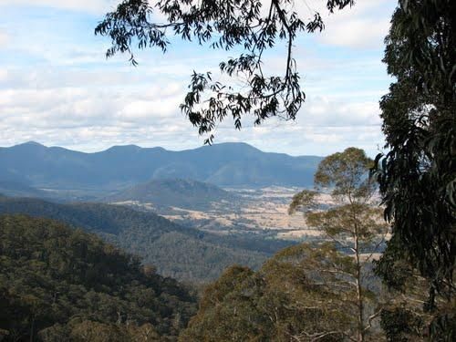
The Fred Piper Memorial Lookout Park Rest Area does not have a lot of parking space available, but if your lucky and get a spot, you can pop over the road and take in the scenic view from the lookout.
Entrance to the Fred Piper Memorial Lookout Park Rest ...
Read More...
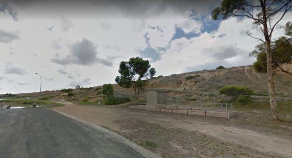
Freds Landing Rest Area
From the Freds Landing Rest Area you can launch your Kayak and go for a paddle up or down the Murray River, or try your hand at catching dinner. Entrance to the Freds Landing Rest Area Freds Landing Rest Area location map
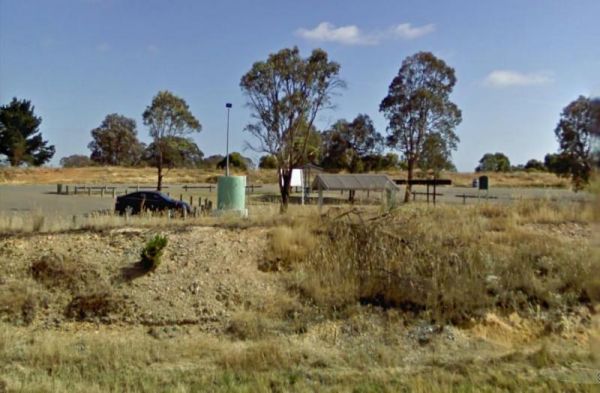
French VC Rest Area although there is loads of parking space, there's very little shade for you to park your caravan under. There are 2 long drop toilets with hand-wash basin, undercover picnic tables, tank water and fireplaces with bbq facilities.
Entra ...
Read More...
, , , ,
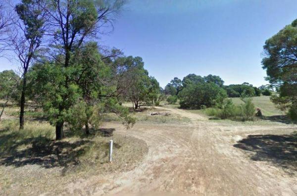
Freshwater Lake Rest Area
Entrance to the Freshwater Lake Rest Area Freshwater Lake Rest Area location map
,
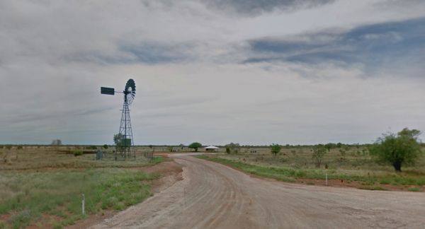
Entrance to the Frewena Rest Stop Frewena Rest Stop Location Map
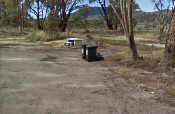
The Fullers Lane Rest Area is set back from the road it's a rather large area to pull over, with plenty of space to park your RV or Caravan. Entrance to the Fullers Lane Rest Area Fullers Lane Rest Area location map
, , ,
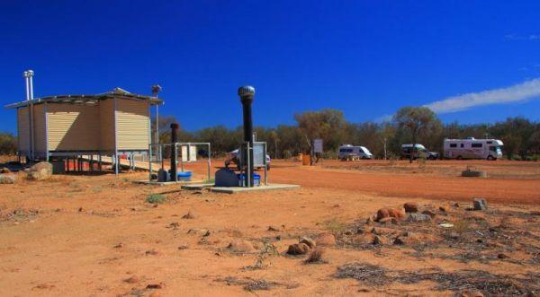
The Galena Bridge Rest Area is a beautiful bush camping spot for overnight stop with plenty of room on both sides of the river to find a quiet spot. There are quite a few long drop public toilets with black water dump point, picnic tables and rubbish bins ...
Read More...
, , , , ,
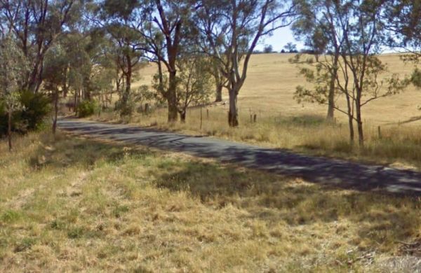
The Gamboola Rest Area is set back a fair way from the main road, and the area opens up with plenty of space to park your RV. There is plenty of shade, picnic tables and some rubbish bins.
Entrance to the Gamboola Rest Area
Gamboola Rest Area location ...
Read More...
,
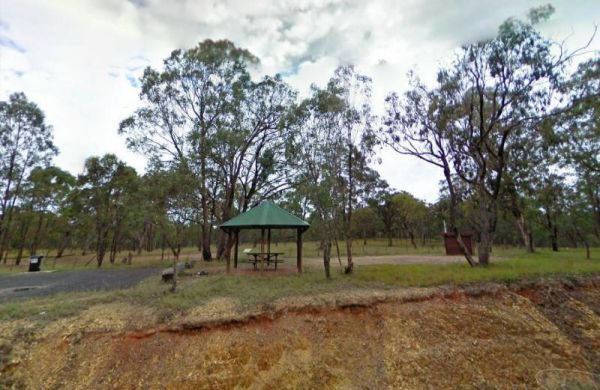
The Gara River Rest Area is alongside Grafton Road, with quiet a few shady areas to park your caravan. There is an undercover picnic table, rubbish bins you can have bite to eat and watch the traffic go by.
Entrance to the Gara River Rest Area
Gara Ri ...
Read More...
,
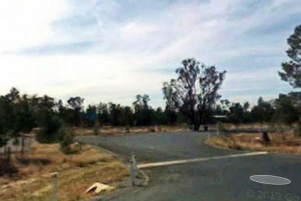
The Garoolgan Rest Area has plenty of room to park all sized rigs and a few rubbish bins, and the area is wedged between the railway line and the Burley Griffin Way, so perhaps not the quietest place to be.
Entrance to the Garoolgan Rest Area
Garoolga ...
Read More...
,
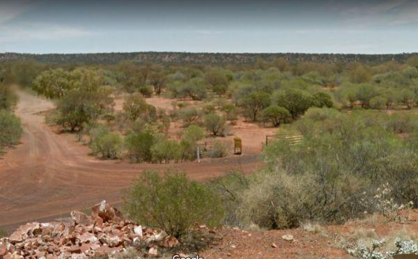
The Gascoyne River Middle Branch Rest Area is a good place to stay overnight with room to park all sized rigs. There are long drop public toilets with a black water dump point, undercover picnic tables, and rubbish bins. There is a mining sleuth that was ...
Read More...
, , , ,
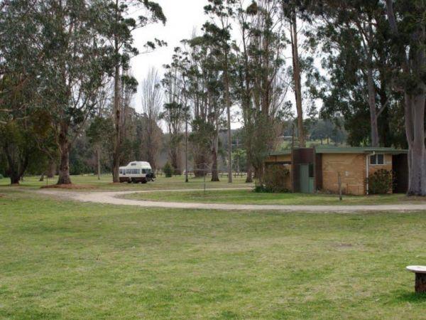
The Genoa Rest Area has a General store just over the footbridge, so you can stock up your larders, and access to a public phone box if needed. Entrance to the Genoa Rest Area Genoa Rest Area location map
, , , ,
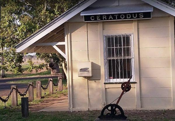
The Geo Spencer Memorial Rest Area has a 48 Hour Limit for stopovers. There are a few level places to park your caravan under shady trees. Here you will find flushing toilets, an undercover BBQ and some picnic tables and rubbish bins.
Entrance to the Geo ...
Read More...
, , , , ,
The Geranium Rest Area is level and only a few metres from the Mallee Highway, if you need toilets, you can take a stroll into town, approx 1 kilometre away. Entrance to the Geranium Rest Area Geranium Rest Area location map
,
The Geurie North Rest Area is a small level area with some shade to park, with an undercover picnic table and rubbish bins just off the Mitchell Highway, soyou will hear passing traffic.
Entrance to the Geurie North Rest Area
Geurie North Rest Area lo ...
Read More...
,
The Gil Gil Creek North Rest Area has a bit of shade to the side, a few rubbish bins and an undercover picnic table. Entrance to the Gil Gil Creek North Rest Area Gil Gil Creek North Rest Area location map
,
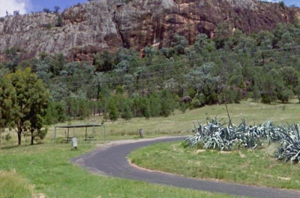
The Gil Gil Creek North Rest Area has a bit of shade to the side, a few rubbish bins and an undercover picnic table. Entrance to the Gil Gil Rest Area Gil Gil Rest Area location map
The Gilgunnia Rest Area is on the corner of Tara-Tallebung Rd and Kidman Way, it's a place to stop and rest a bit and nothing more. There is a public toilet, some rubbish bins, and a few places to park your caravan under some shade trees.
Entrance to the ...
Read More...
, ,
The Gillenbah South Rest Area is set back and running parallel with the Newell Highway. There are plenty of places to park your caravan under shady trees, public toilets with wheelchair access, picnic tables and some rubbish bins.
Entrance to the Gillenb ...
Read More...
, , ,
Gilles Downs Rest Area
At the Gilles Downs Rest Area you can sit at the picnic table in the shade and watch the traffic go by ohhh and take a break from driving. There is plenty of space available to pull over at this location but only one picnic table so be quick, also a rubbi ...
Read More...
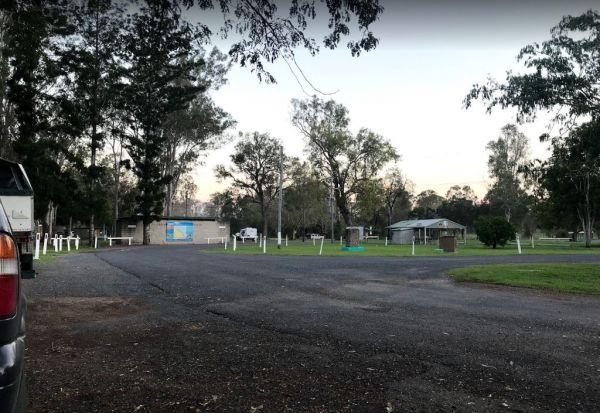
If stopping overnight at the Gin Gin Rest Area, you'll find plenty of room for your caravan, public toilets with hand wash basin and picnic tables and chairs, plus a water tap. Entrance to the Gin Gin Rest Area Gin Gin Rest Area location map
, , ,
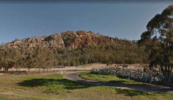
The Gins Leap Rest Area has a small graveyard with information on a board at this location, pay your respects, and enjoy what is left of the original Aloe garden. Entrance to the Gins Leap Rest Area Gins Leap Rest Area location map
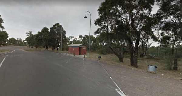
The Gisborne Northbound Rest Area is a popular Truck stop with plenty of parking for large Caravans and RV's. Entrance to the Gisborne Northbound Rest Area Gisborne Northbound Rest Area location map
, , ,
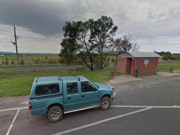
Entrance to the Gisborne Southbound Rest Area Gisborne Southbound Rest Area location map
, , ,
The Glenriddle Recreation Reserve Camp Area is a large area with plenty of places to choose your campsite,. There is an undercover picnic table, a public toilet and a few rubbish bins. The Manilla River is close by for those eager fishermen amongst you, a ...
Read More...
, , , , , ,
Glen Road Recreation Reserve Rest Area
Entrance to the Glen Road Recreation Reserve Rest Area Glen Road Recreation Reserve Rest Area location map
, , ,
The Glenariff Rest Area is off the main road with a few trees to keep the sun off your head, while you are getting ready to continue your journey. Entrance to the Glenariff Rest Area Glenariff Rest Area location map
,
The Rest Area Stuart Highway Southbound has room for your dog to have a bit of run. There is an undercover picnic table and rubbish bins and is a rest spot in the middle of nowhere, but you'll get lovely sunsets here.
Entrance to the Glendambo Rest Area ...
Read More...
Entrance to the Glenelg River Rest Area Glenelg River Rest Area location map
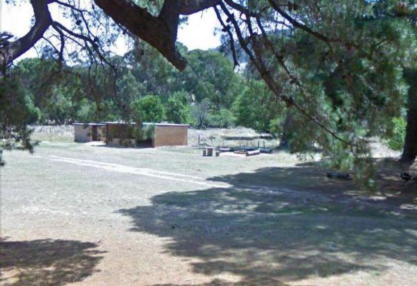
Glenpatrick Recreation Reserve
Entrance to the Glenpatrick Recreation Reserve Glenpatrick Recreation Reserve location map
, , ,
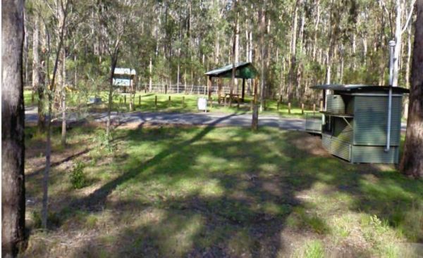
Entrance to the Glenugie Creek Rest Area Glenugie Creek Rest Area location map
, ,
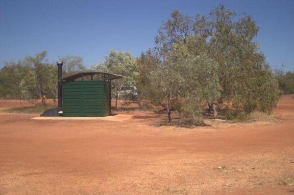
The Goldwire Rest Area has some long drop public toilets with a black water dump point, picnic tables, some wood fired bbqs and plenty of level ground to park your caravan. This rtes area is set well back from the Great Northern Highway, so passing noise ...
Read More...
, , , , ,
Entrance to the Goolgowi West Rest Area Goolgowi West Rest Area location map
,
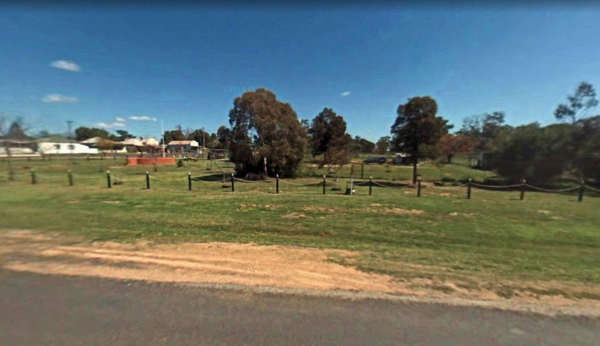
Gooloogong Park Rest Area
At the Gooloogong Park Rest Area you can settle in, take a walk up to the pub, and check out the local shops, remember to spend some money, towns like this need a helping hand from tourism.
Entrance to the Gooloogong Park Rest Area location map
Gooloo ...
Read More...
, , , ,
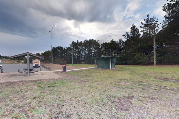
Gordon VC Rest Area
The Gordon VC Rest Area is a Largish asphalted area with plenty of room to park all sized caravans and motorhomes. There is a public toilet, picnic tables and rubbish bins located here.
Entrance to the Gordon VC Rest Area
Gordon VC Rest Area location ...
Read More...
, ,
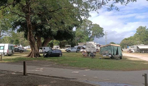
Gordonvale Rest Area
From the Gordonvale Rest Area you can take a walk along the banks of the small creek that runs into the Mulgrave River or be more adventurous and drop the kayak in. Entrance to the Gordonvale Rest Area Gordonvale Rest Area location map
, , , , ,
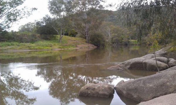
The Goulburn River Rest Area is a place to take a break from driving and maybe catch a fish for dinner. It's a nice spot to have a rest, and take a few photos while exploring the Goulburn River.
Entrance to the Goulburn River Rest Area
Goulburn River ...
Read More...
, ,
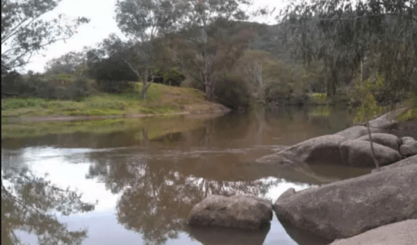
Entrance to the Goulburn River Rest Area Goulburn River Rest Area Location Map
,
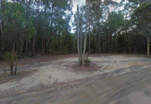
Governors Bend Rest Area
The Governors Bend Rest Area is a bit tight for caravans with not a lot to do apart from taking a break from driving. Entrance to the Governors Bend Rest Area Governors Bend Rest Area location map
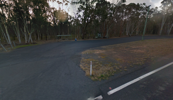
The Gowan North Rest Area is on the verge of the Newell Highway with a public toilet, undercover picnic tables with some rubbish bins, and has quite a few spots to pull over along this stretch of road, fishing and dropping the kayak in to the river come t ...
Read More...
, ,
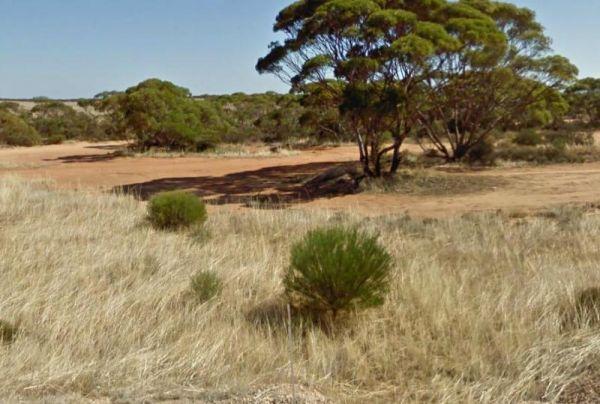
The Goyder's Line Memorial Rest Area, is a gravel area just off the Eyre Highway. The rest area itself is nothing special, but it does have room to park your caravan. There is a memorial plaque dedicated to George Woodgroff Goyder. He surveyed a line on t ...
Read More...
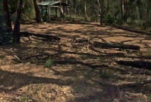
Granite Creek Rest Area is a bit of a squeeze for big rigs so be aware of this if you intend to stop and have a BBQ here. Entrance to the Granite Creek Rest Area Granite Creek Rest Area location map
,
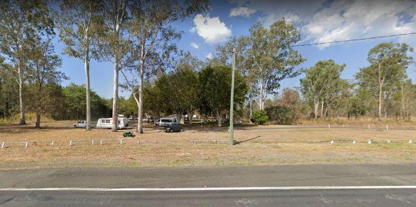
Entrance to the Granite Creek Rest Area Granite Creek Rest Area location map
, , , , ,
Grantville - Picnic BBQ Area
Entrance to the Grantville - Picnic BBQ Area Grantville - Picnic BBQ Area location map
, , , , ,
Grass Trees Rest Area Northbound Entrance to the Grass Trees Rest Area Northbound Grass Trees Rest Area Northbound location map
, , , ,
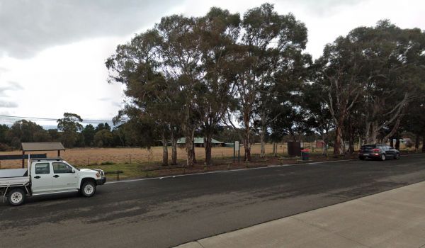
The Gratwick VC Rest Area is on an asphalt surface running adjacent the Federation Highway. There are a few trees for shade, undercover picnic tables and Entrance to the Gratwick VC Rest Area Gratwick VC Rest Area location map
, ,
Gre Gre South Rest Area
The Gre Gre South Rest Area has the Avon Creek runs behind this location but hardly any water in it. But worth a look with your camera in hand. Entrance to the Gre Gre South Rest Area Gre Gre South Rest Area location map
,
Great Western Rest Area
Entrance to the Great Western Rest Area Great Western Rest Area location map
,
When your at the Greenrise Lake Rest Area don't waste your time if you want to go fishing in the lake, as its been dry for a few years. Entrance to the Greenrise Lake Rest Area Greenrise Lake Rest Area location map
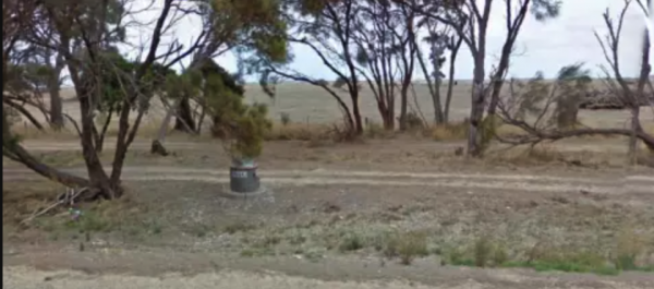
The Greenways West Rest Area is a flat area just off the Princes Highway with plenty of shade and not much else. Greenways West Rest Area Location Map Entrance to the Greenways West Rest Area
Entrance to the Grenfell West Rest Area Grenfell West Rest Area location map
, , , , ,
Grong Grong Park Rest Area
At the Grong Grong Park Rest Area there is plenty of parking over near the Grain Silos, there is a public toilet undercover picnic table and bbq, rubbish bins and a small playground for the children.and a phone box and a shop nearby.
Entrance to the Gron ...
Read More...
, , , , ,
Gumbuya Rest Area
The Gumbuya Rest Area is next to Gumbuya Park while your in the area you could drop in. Entrance to the Gumbuya Rest Area Gumbuya Rest Area location map
, ,
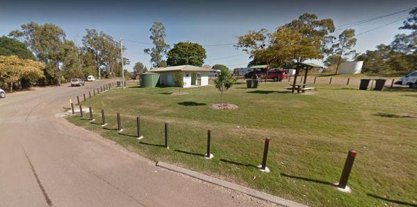
Entrance to the Gunalda Rest Area Gunalda Rest Area location map
, , ,
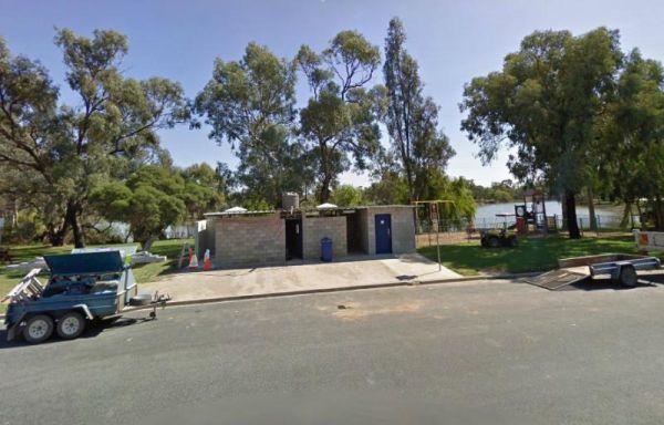
The Gunbower Park Rest Area is on the banks of the Gunbower Creek.So why not take a stroll and check it out, or drop your kayak in for a better look.There is a children's playground right next to the toilets to keep the kids amused.
Entrance to the Gunbo ...
Read More...
, , , , , ,
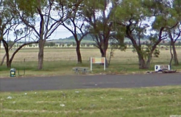
Entrance to the Gunnedah North Rest Area Gunnedah North Rest Area location map
, ,
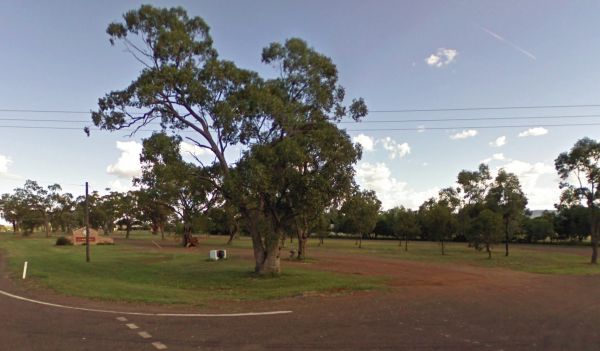
The Gunnedah North Rest Area 2 is just off the Kamilaroi Highway, a rubbish bin and an old wood fired BBQ are located here. There is plenty of room to park your caravan under some gum trees.
Entrance to the Gunnedah North Rest Area 2
Gunnedah North Re ...
Read More...
, ,
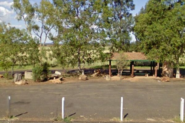
Entrance to the Gunnedah South Rest Area Gunnedah South Rest Area location map
, ,
Gurney VC Rest Area
Gurney VC Rest Area has good views across the dry Lake George. There are some trees for shade and a loop road that you can pull off with your caravan. Public toilets, picnic tables, wood fired bbq facilities and some rubbish bins.
Entrance to the Gurney ...
Read More...
, , , ,
Guthalungra Rest Area
At the Guthalungra Rest Area has room for the kids to kick a football. plus undercover picnic tables and rubbish bins, and room to park your caravan on the road. There is not a lot to do here, you can use the public telephone box or pop over to the petrol ...
Read More...
,
The Hadspen Lions Park Reserve Area is a nice open area with boat ramp, and is a lovely spot for a bbq and picnic. This is a great park on the banks of the South Esk River, with playground and off lead dog area.
Entrance to the Hadspen Lions Park Reserve ...
Read More...
, ,  , , , , ,

Half Way Rest Area Permanently Closed
Entrance to the Half Way Rest Area Half Way Rest Area location map
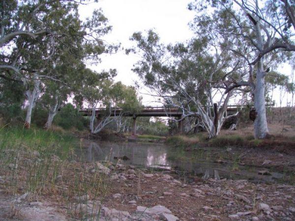
The Halfway Bridge Rest Area is really nothing more than a place to pull off the main road and take a break from driving. The parking area is short dirt road, with a few trees for shade, and you can walk along the creek to get a photograph of the bridge i ...
Read More...
,
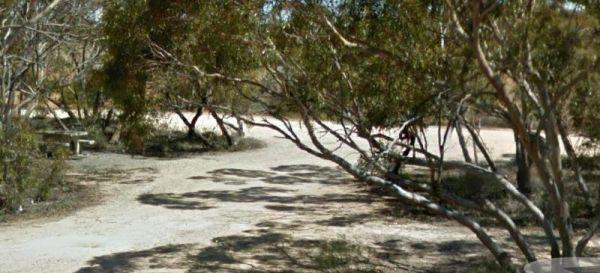
The Halidon Rest Area is reasonably level area, on the edge of the Karoonda Highway, not much to do apart from sit at the table and grab a bite to eat or a cuppa. Entrance to the Halidon Rest Area Halidon Rest Area location map
The Hamilton Rest Area is opposite the Bicentennial Park, is a beautiful place with apple and pear trees, public toilet and showers, laundry, dump point and potable water. where you'll find a public toilet, undercover picnic tables and rubbish bins. Or yo ...
Read More...
, , , , , , , ,
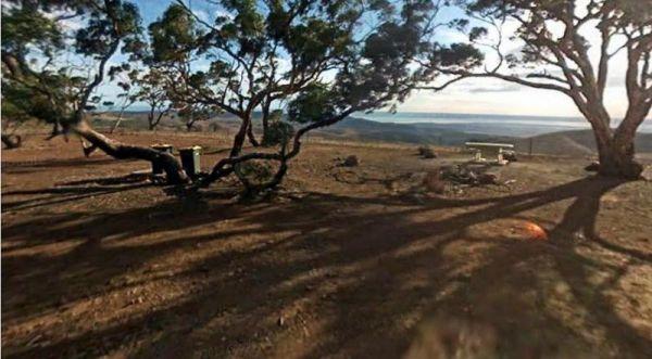
Hancocks Lookout Rest Area
The Hancocks Lookout Rest Area is a quiet place in the middle of nowhere and you can stay as long as you like, once you find some level ground to camp at. You will get some nice photos for your album here.
Entrance to the Hancocks Lookout Rest Area
Ha ...
Read More...
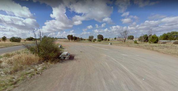
The Hanson Rest Area is set on flat ground, and it's a short distance from the Barrier Highway, with plenty of parking spots to choose from. Entrance to the Hanson Rest Area Hanson Rest Area location map
,
Happy Jacks Recreation Reserve
The Happy Jacks Recreation Reserve has the Bullock Creek runs just behind the reserve for those who are a bit curious as to if there are any fish in it. Entrance to the Happy Jacks Recreation Reserve Happy Jacks Recreation Reserve location map
, , ,
Harms Lake Rest Area 24 Hour Limit
The Harms Lake Rest Area is fairly roomy with quite a few places to park your caravan under some small shady gum trees. There are some fireplaces, picnic tables, and rubbish bins here, and you can park a bit further into the scrub if your game.
Entrance ...
Read More...
, ,
Hattah North Rest Area is set back from the main road with plenty of parking with low shrubs for shade. Entrance to the Hattah North Rest Area Hattah North Rest AreaLocation Map
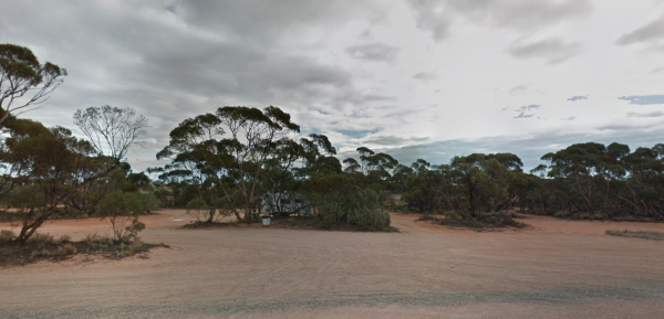
Entrance to the Hattah South Rest Area Hattah South Rest Area Location Map
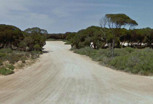
The Hearder Hill Rest Area has some picnic tables, and rubbish bins with level ground to park your caravan. This site only has low shrubs so there's no shade to park your van under and is a place to have a short rest from driving. For the more adventurous ...
Read More...
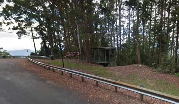
Entrance to the Heffrons Lookout Rest Area Heffrons Lookout Rest Area location map
,
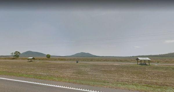
Helens Hill Rest Area
Entrance to the Helens Hill Rest Area Helens Hill Rest Area location map
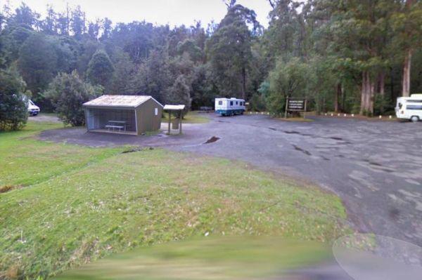
The Hellyer Gorge Rest Area is a lovely spot to stop if you're heading through to Cradle Mountain or Waratah, with beautiful walks through the myrtle rainforest down to the Hellyer River.
Entrance to the Hellyer Gorge Rest Area
Hellyer Gorge Rest Area ...
Read More...
, , , , ,
At the Henty Man Rest Area, cars have there own parking area set away from trucks and Caravans.
So expect a few heavy vehicles to pull in and take advantage of this rest site, and please make sure you don't block any trucks from parking.
Entrance to the ...
Read More...
, , ,
Herbert Parker Rest Area
The Herbert Parker Rest Area plentiful wildlife and birds here, so have your camera on hand. There is an undercover picnic table and level ground with lots of shady trees to park your caravan under. This area is accessed through a closed gate, the water l ...
Read More...
At the Herbert Reserve Rest Area you can take a short stroll into town and hang a right at Paynes Crossing Rd to go to the Broke Village Store and grab a bite to eat. (GPS -32.75062,151.10358)
Entrance to the Herbert Reserve Rest Area
Herbert Reserve ...
Read More...
, , ,
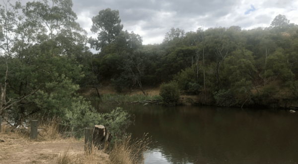
Heritage Park
Heritage Park location map
, , ,
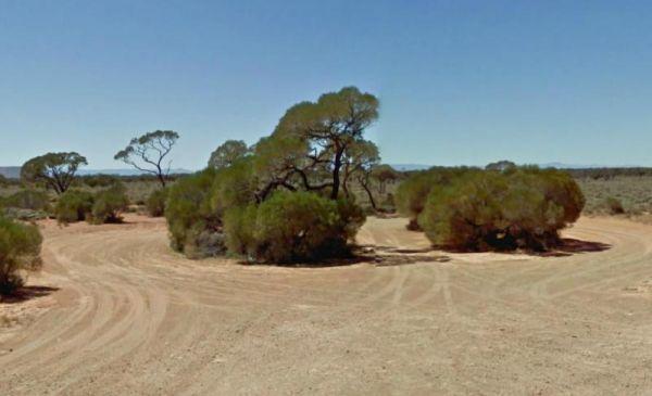
Hesso Rest Area
The Hesso Rest Area is on level ground, right next to the main road and Railway line, so you will hear the passing traffic. This rest area has no amenities and no trees for shade. Entrance to the Hesso Rest Area Hesso Rest Area location map
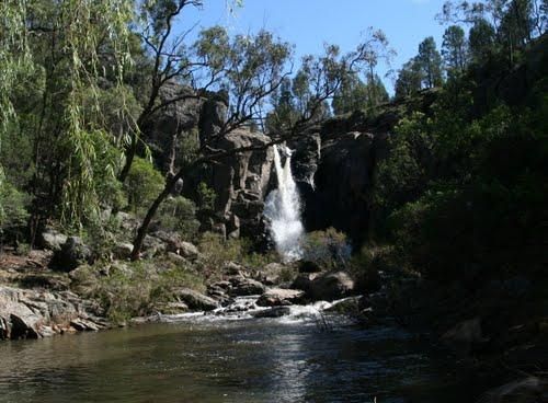
Hickeys Falls Rest Area has a beautiful waterfall close to the highway and plenty of parking with picnic tables and rubbish bins. It takes roughly two minutes to walk to the falls, and there is a pool at the bottom of it.
Entrance to the Hickeys Falls Re ...
Read More...
, ,
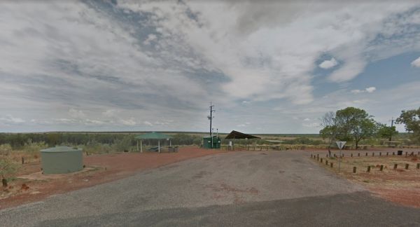
Entrance to the Highway Rest Area Location map for the Highway Rest Area
, , ,
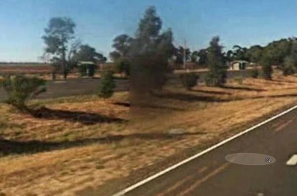
The Hillston Rest Area is set on an asphalt strip running alongside the Kidman Way, it's a well known truck stop. There is a public toilet ,picnic tables and some rubbish bins. Entrance to the Hillston Rest Area Hillston Rest Area location map
, , ,
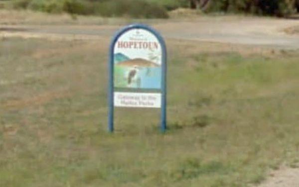
Hopetoun Rest Area
The Hopetoun Free Dump Point has now been installed into the rest area, you can take some time off driving, and stroll around the lake if your up to it. Entrance to the Hopetoun - Free Dump Point Hopetoun - Free Dump Point location map
, , , ,
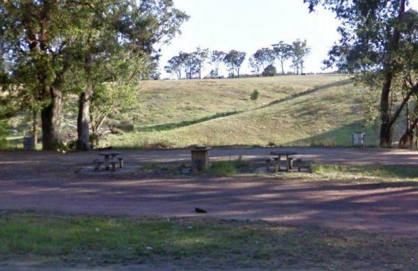
Set next to the Hospital Creek and just off the Princess Highway, Its a place to stop and have a BBQ at. Entrance to the Hospital Creek Rest Area Hospital Creek Rest Area location map
, ,
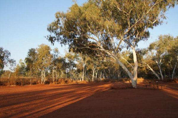
The House Creek Bridge Rest Area has public toilets with black water dump points, picnic tables, rubbish bins and some shade trees to park your caravan under. The ground is fairly level for camping, and the main camp area approximately one hundred metres ...
Read More...
, , , , ,
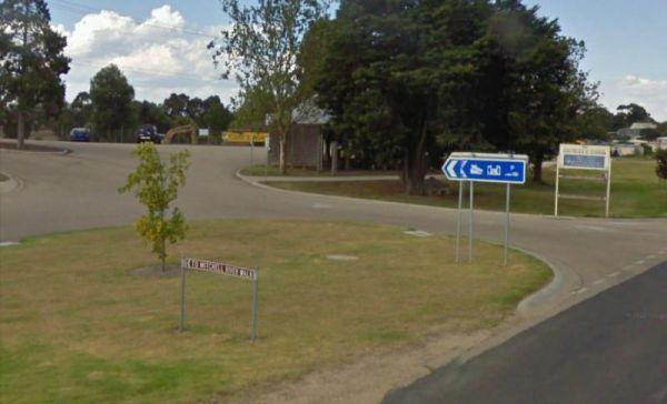
Howitt Park
Entrance to the Howitt Park Howitt Park location map
, , , , ,
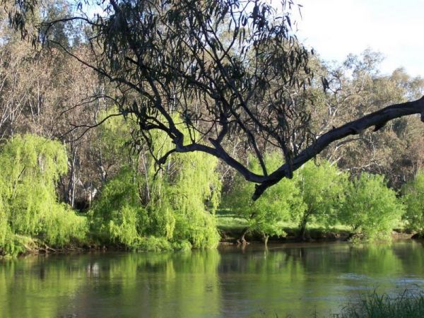
The Howlong Lions Park Rest Area is not a bad spot on the Murray River. There are public toilets, picnic tables, bbqs, and rubbish bins with a lot of level ground to park your caravan, and gum trees for shade.
NOTE: No Camping Allowed
Pop over to the Tr ...
Read More...
, , , , , ,
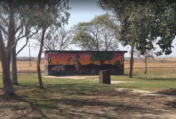
Pull off the main road on the outskirts of town at the Hughenden Rotary Rest Area, walk or ride your bike to Brodie Street, the main shopping centre for Hughenden, pop over and take a meal next to the dinosaur.
Entrance to the Hughenden Rotary Rest Area ...
Read More...
, , , , ,
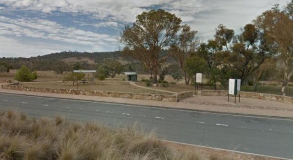
The Hughie Edwards VC Rest Area has a public drop toilet, some picnic tables with some rubbish bins and is quite noisy due to the main road running past. However it's a handy place to stop and have a rest from driving to Canberra.
Entrance to the Hughie ...
Read More...
,
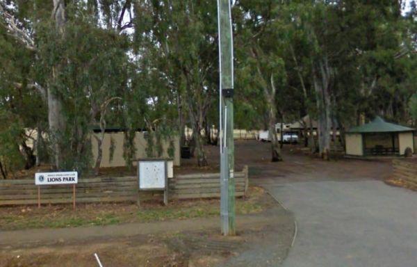
Entrance to the Huntly Lions Park Rest Area Huntly Lions Park Rest Area location map
, , , ,
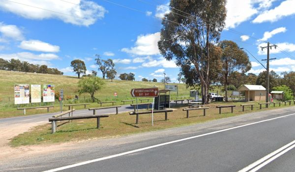
The Ilford Rest Area is just off the main highway, not a lot to do here, apart from rest and refresh, before heading on your way. There are public toilets, picnic tables, rubbish bins and tank water with room to park your caravan under a few shade trees. ...
Read More...
, , , ,
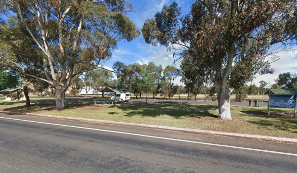
The Illabo Rest Area is located opposite the Illabo Pub, the rest area has a public toilet undercover picnic tables, rubbish bins and plenty of room to park your caravan. Entrance to the Illabo Rest Area Illabo Rest Area location map
, , , ,
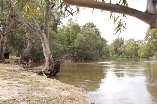
At the Illilawa River Reserve Rest Area you can drop your Kayak in the Murrumbidgee River and go for a short paddle or drop a line in and try and catch dinner. This is quite a large off road site with plenty of opportunities to park.
Entrance to the Illi ...
Read More...
, , ,
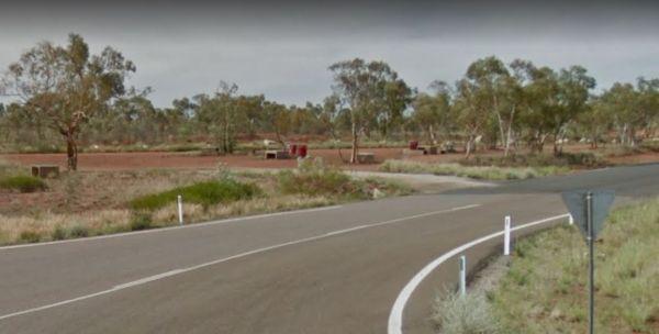
The Inca Creek Rest Area has plenty of room to park your caravan. There are a few picnic tables and wood fired bbq facilities with a few shade trees here, and plenty of room to walk the dog.
Entrance to the Inca Creek Rest Area
Inca Creek Rest Area lo ...
Read More...
, , ,
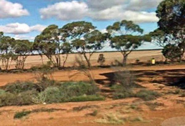
The Indarra Rest Area is a small gravel area with a few trees for shade to park your caravan, and a rubbish bin. This is a popular truck stop, so make sure you if you stop here give them plenty of room.
Entrance to the Indarra Rest Area
Indarra Rest A ...
Read More...
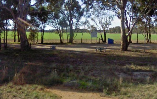
Indigo Creek Rest Area
Entrance to the Indigo Creek Rest Area Indigo Creek Rest Area location map
,

Information Bay Rest Area
From the Information Bay Rest Area you can walk approximately 400 metres, and check out the graffiti on the tanks, or get your bearings from the information board while enjoying the picnic tables.
Entrance to the Information Bay Rest Area
Information ...
Read More...
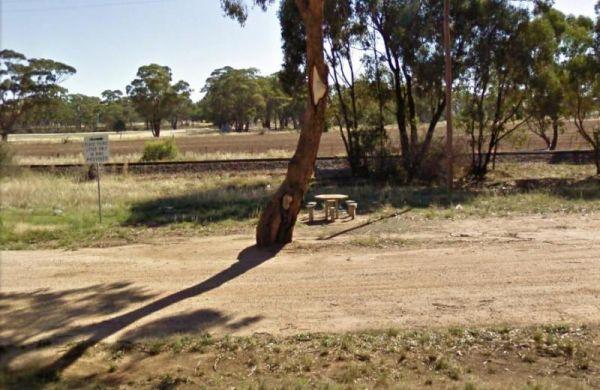
Entrance to the Inglewood East Rest Area Inglewood East Rest Area location map
,
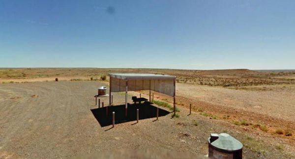
The Ingomar North Rest Area is set back from the road with undercover picnic tables plus an emergency supply of drinking water and a public phone. As with all supplies of unknown tank water, it should be boiled first before drinking. Although I must admit ...
Read More...
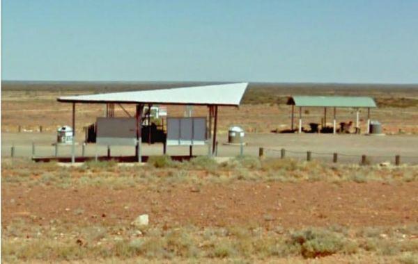
From the Ingomar Rest Area there is a lot of nothing to look at from a fairly level area that's not too far from the highway, with an undercover picnic table, it's a place to stop if you need a break.
Entrance to the Ingomar Rest Area
Ingomar Rest Are ...
Read More...
,
Iron Knob East Rest Area
The Iron Knob East Rest Area is flat with plenty of room to park all sixed rigs, however, much of the offroad area has been fenced off to prevent you from straying too far from the main road.
Entrance to the Iron Knob East Rest Area
Iron Knob East Res ...
Read More...
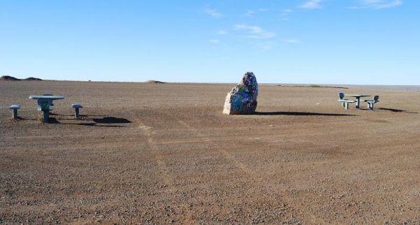
The Island Lagoon Lookout is a large level area suitable for all sized rigs, set a bit back from the main road with nothing to stop any road noise that may occur overnight. Entrance to the Island Lagoon Lookout Island Lagoon Lookout location map
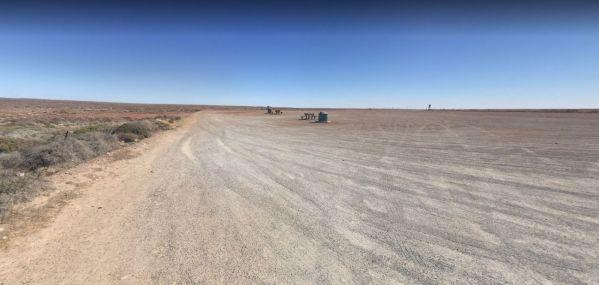
The Island Lagoon Rest Area is a large level area suitable for all sized rigs, set a bit back from the main road with nothing to stop any road noise that may occur overnight.
Entrance to the Island Lagoon Rest Area
Island Lagoon Rest Area location map ...
Read More...
Entrance to the J.Sloane Park Rest Area J.Sloane Park Rest Area location map
, , , ,
Jacka Park Rest Area
Entrance to the Jacka Park Rest Area
Jacka Park Rest Area location map
Wedderburn is a rural town located in Victoria, Australia on the Calder Highway, 214 kilometres north of Victoria's capital city, Melbourne. At the 2006 census, Wedderburn ...
Read More...
, , , , , ,
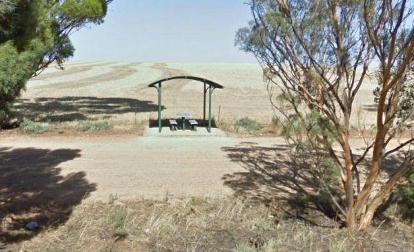
The James Ainsworth Horrock Monument Rest Area has a small strip of tree lined land running alongside the main road with a fair amount of room for your van.
Entrance to the James Ainsworth Horrock Monument Rest Area
James Ainsworth Horrock Monument Re ...
Read More...
,
The James King Park is just a short walk to the Murray River, there is a boat ramp plus parking this spot gets rather busy on weekends. Entrance to the James King Park James King Park location map
, , , , ,
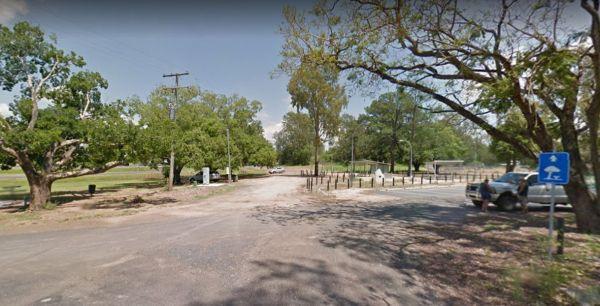
James Norman Hedges Park Rest Area
Entrance to the James Norman Hedges Park Rest Area James Norman Hedges Park Rest Area location map
, , , , , , ,
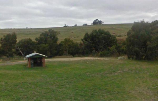
Entrance to the JC Stretch Memorial Park Rest Area JC Stretch Memorial Park Rest Area location map
, , , ,
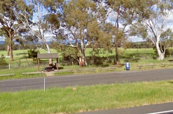
At the Jeir Creek Rest Area there is not much to do apart from stop use the rubbish bin or have a picnic on the undercover table and seats. Entrance to the Jeir Creek Rest Area Jeir Creek Rest Area location map
,
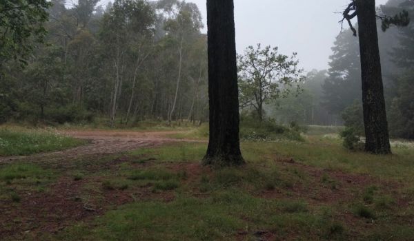
Jenolan Caves Road Rest Area
At the Jenolan Caves Road Rest Area just relax and sit back have a picnic and breath in the mountain air, and maybe take a short nap. Entrance to the Jenolan Caves Road Rest Area Jenolan Caves Road Rest Area location map
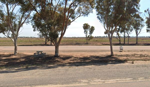
Jerilderie South Rest Area
At the Jerilderie South Rest Area there is not a lot here to see or photograph, but at least there is a shady spot with a picnic table and rubbish bin to enjoy a break from driving.
Entrance to the Jerilderie South Rest Area
Jerilderie South Rest Area ...
Read More...
,
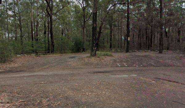
Jerrawangala Rest Area
The Jerrawangala Rest Area is right on the edge of the Princes Highway, it's a place to have a break and a picnic. Entrance to the Jerrawangala Rest Area Jerrawangala Rest Area location map
,
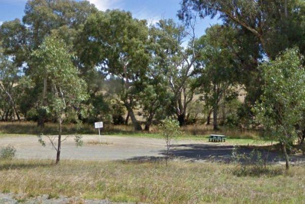
Jessie Kennedy Reserve Rest Area
The Jessie Kennedy Reserve Rest Area is not the most quietest of places to rest at with the Midland Hwy running past. Entrance to the Jessie Kennedy Reserve Rest Area Jessie Kennedy Reserve Rest Area location map
, , ,
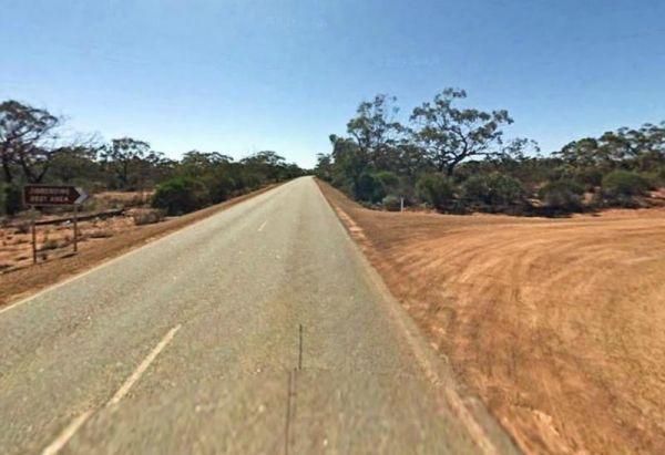
Jibberding Rock Rest Area
The Jibberding Rock Rest Area is a rough bush camp set back from Great Northern Highway, you will need to bring everything you need, and take your rubbish with you when you leave. This rest area is located on a level gravel surface, inside the Jibberding ...
Read More...
,
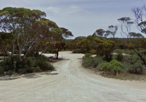
Jilah Rockhole Rest Area
The Jilah Rockhole Rest Area has public toilets, picnic tables, and rubbish bins with lots of shady spots on level ground to park your caravan. This rest area is a short distance off the Eyre Highway with plenty of campsites under trees to choose from.
E ...
Read More...
, ,
Jillbunya Rockhole Rest Area
The Jillbunya Rockhole Rest Area is a short distance from the Eyre Highway. There are some rubbish bins along a long level asphalt strip to park your rig. You will also some tracks that will take you further away from the highway.
Entrance to the Jillbun ...
Read More...
At the Jim Newman Rest Area you can take a break from driving long enough to have a picnic then on your way feeling refreshed. Jim Newman Rest Area Entrance to the Jim Newman Rest Area Jim Newman Rest Area location map
, 
Jock Comini Memorial Rest Area
The Jock Comini Memorial Rest Area is not suitable for large caravans and motorhomes so it would be best to continue your journey down the road a bit further.
Jock Comini Memorial Rest Area
Entrance to the Jock Comini Memorial Rest Area
Jock Comini ...
Read More...
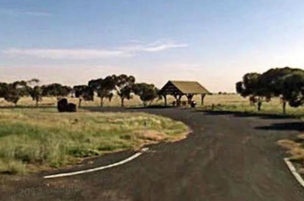
John Oxley Rest Area
The John Oxley Rest Area is a short distance off the Castlereagh Highway, with an undercover picnic tables and rubbish bin. Entrance to the John Oxley Rest Area John Oxley Rest Area location map
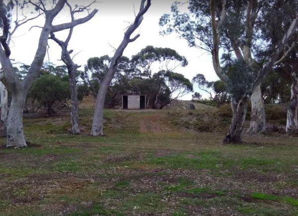
John S Christian Reserve
The John S Christian Reserve is a reasonably level area and a public toilet with a few spots to park your caravan at. You. have mobile phone signal here and your dog can get a break from the backseat of your car.
Entrance to the John S Christian Reserve ...
Read More...
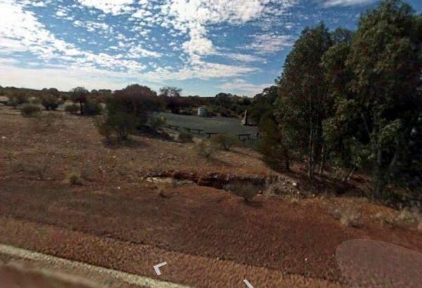
Jones Creek Rest Area
The Jones Creek Rest Area is a rest stop by a seasonal creek that is mostly dry throughout the year. The parking area has plenty of room to turn your caravan around and loads of space to park on a large level area set on bluestone crushed rock surface . ...
Read More...
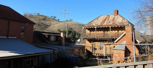
The Joyce Pearce Memorial Park, is just on the edge of Sofalla you should take the time to walk through the Historic town of Sofala. Grab a bite to eat from one of the cafés or checkout the museum. If that doesn't tickle your fancy drop a line in the Turo ...
Read More...
, , , ,
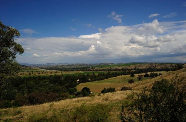
The Jugiong Hill Rest Area is good for picnic time and a quick nap and your on your way again, and it's right next to the Hume Hwy and it's a popular truck stop. Entrance to the Jugiong Hill Rest Area Jugiong Hill Rest Area location map
Kangaroo Flat Park Area
Entrance to the Kangaroo Flat Park Area Kangaroo Flat Park Area location map
, , , , , ,
The Karoonda East Rest Area is stuck in between a railway line, and Loxton Road, on fairly level ground. Entrance to the Karoonda East Rest Area Karoonda East Rest Area location map
,

Katamatite Lions Memorial Park Rest Area
The Katamatite Lions Memorial Park Rest Area has a bakery is just down the road within easy walking distance. Entrance to the Katamatite Lions Memorial Park Rest Area Katamatite Lions Memorial Park Rest Area location map
, ,
Kathala Pass Rest Area
The Kathala Pass Rest Area is set back approximately 620 meters from the Eyre Highway, with two large undercover water tanks. There is also a bit of shade beside these tanks for a picnic break, and room to park your van back a bit from here.
Entrance to ...
Read More...
,
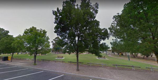
The Keith Park Rest Area is a rather large park that spans both sides of the road, with plenty of picnic tables to chooses from. Entrance to the Keith Park Rest Area Keith Park Rest Area location map
, , , , , ,
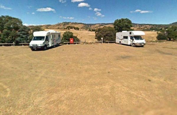
From the Kempton Rest Area you can take a short walk or get your bikes off the back of the van, and have a short sightseeing trip around town, then settle in for the night.
There is a Tavern with meals and takeaways within walking distance and that the K ...
Read More...
, , , , ,
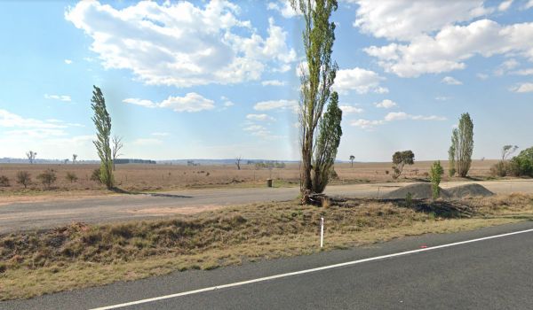
The Kentucky Truck Parking Rest Area is a simple Truck Stop with a rubbish bin or two and not much else. Entrance to the Kentucky Truck Parking Rest Area Kentucky Truck Parking Rest Area location map
,
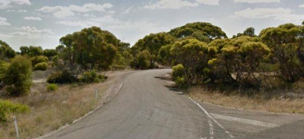
The Ki Ki South Rest Area is slightly elevated and running alongside the Dukes Highway with a bit of scrub to help shield noise. Entrance to the Ki Ki South Rest Area Ki Ki South Rest Area location map
,
If you intend to stop at the Kiama North Rest Area, it's worth taking a photo of the recently restored 1890's Police Station and Courthouse, set isolated against the mountains.
Entrance to the Kiama North Rest Area
Kiama North Rest Area location map ...
Read More...
, , ,
Entrance to the Kiandra Courthouse Rest Area Kiandra Courthouse Rest Area location map
, ,
The Kibby VC Rest Area, has plenty of room to park, long drop toilets with hand basin, undercover picnic tables, rubbish bins and tank water.
You will also see a couple of old deserted buildings in the area, that might warrant taking a photo of.
Entranc ...
Read More...
, , , ,
The Kidnippy Rest Area is a large gravel area, with picnic tables and rubbish bins here, plus some shade, and a few trees. You can grab a bit of shut eye here, then be on your way again.
Entrance to the Kidnippy Rest Area
Kidnippy Rest Area location m ...
Read More...
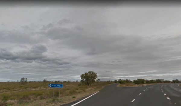
The Kiga Bore Rest Area is a large roadway section on either side of the Hwy to pull over and take a break from driving, not much to look at as the area is quite flat. Entrance to the Kiga Bore Rest Area Kiga Bore Rest Area location map
,
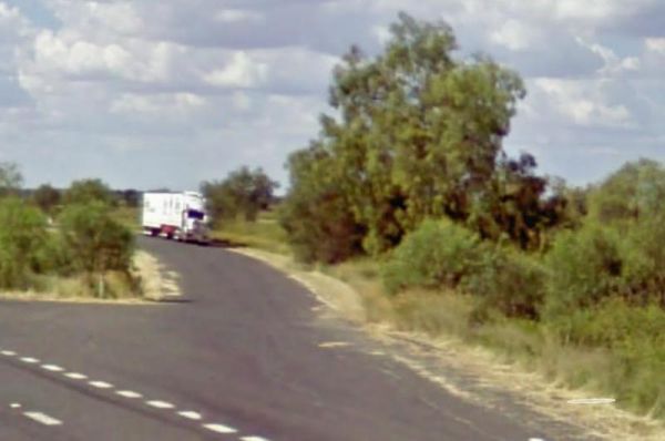
Entrance to the Kiga Bore Rest Area Southbound Kiga Bore Rest Area Southbound location map
,
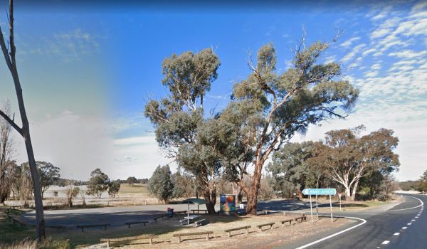
The Kilgowlah Creek Rest Area is an oval shaped parking area that might not be suitable for large caravans especially if someone else is already there. You can take a short walk to the banks of the Keajura Creek, its roughly 100 metres along the path, rub ...
Read More...
, , ,
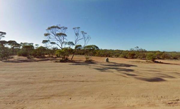
Kimba East Rest Area
The Kimba East Rest Area is reasonably level, with a few dirt tracks leading off into the bush for the more adventurous. I would suggest you walk them first before commiting your van.
Entrance to the Kimba East Rest Area
Kimba East Rest Area location ...
Read More...
The Kimba Rest Area is a handy spot to stop at, there is an IGA supermarket across the road so pick up some supplies while visiting here, AND the Big Galah nearby GPS -33.141783,136.421747 Entrance to the Kimba Rest Area Kimba Rest Area location map
, , , ,
The Kinchela Rest Area is a popular stopping place for weary travellers, not a lot to see or do here apart from a break in driving. Entrance to the Kinchela Rest Area Kinchela Rest Area location map
King Parrot Creek Rest Area
The King Parrot Creek Rest Area with the King Parrot Creek is on your doorstep and is set back away from the Goulburn Valley Highway. It's not a bad place to take a break from diving and do a bit of relaxation.
Entrance to the King Parrot Creek Rest Area ...
Read More...
, ,
King Street Oval Rest Area 24 Hour Limit
Entrance to the King Street Oval Rest Area King Street Oval Rest Area location map
, , , , ,
At the Kings Billabong Rest Area camping is permitted around the reserve, when backpacking in, you will find plenty of bush camping spots. Entrance to the Kings Billabong Rest Area Kings Billabong Rest Area location map
, ,
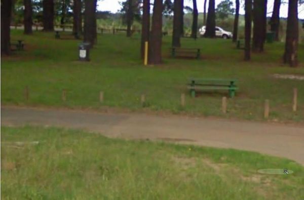
The Kingsbury VC Rest Area entrance is off stingray road, this is a nice shaded spot set a reasonable distance away from the Hume Highway with public toilets, bench seats under shady trees and a few rubbish bins.
Entrance to the Kingsbury VC Rest Area ...
Read More...
,
The Kingsley Fairbridge Memorial Park Rest Area is close to the Molong Creek, which runs just behind this spot, but I wouldn't get too excited if you want to go fishing.
Entrance to the Kingsley Fairbridge Memorial Park Rest Area
Kingsley Fairbridge M ...
Read More...
,
Entrance to the Kingston South Rest Area Kingston South Rest Area location map
,
The Koonalda Rest Area is a flat desolate area, with the only shade available being the undercover picnic table. There are rubbish bins located her also, with room for your caravan or motorhome.
Entrance to the Koonalda Rest Area
Koonalda Rest Area lo ...
Read More...
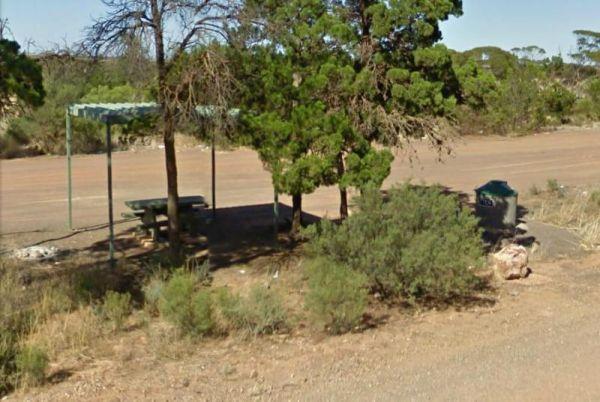
The Koongawa East Rest Area is another level area just off the main road spot, with plenty of room for all sized vans and motorhomes. There are a few tall trees for shade. along with undercover picnic tables and rubbish bins.
Entrance to the Koongawa Eas ...
Read More...
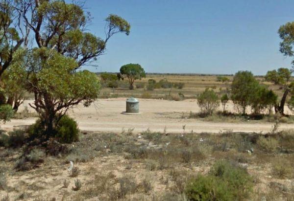
The Koonibba Rest Area has lots of room to park your caravan on a large level gravel area. There are some trees for shade and some rubbish bins and not much else. Entrance to the Koonibba Rest Area Koonibba Rest Area location map
The Koorangie Game Reserve Water levels in the lake vary quite a bit, so don’t expect to be able to do water related activities in a dry year. Koorangie Game Reserve location map
The Koorarawalyee Rest Area is level and on a natural dirt surface with lots of places to park your caravan for the night under shady trees. There is a public toilet, fireplaces with bbq facilities, picnic tables and lots of room for your dog to have a ru ...
Read More...
, , , ,
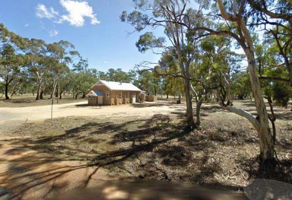
The Kooreh Hall Rest Area, the hall itself was built in 1923 as a tribute to the lost soldiers of the Boer and First World Wars. Entrance to the Kooreh Hall Rest Area Kooreh Hall Rest Area location map
, , ,
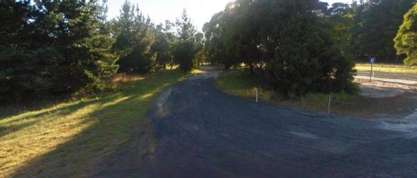
Kromelite Road Rest Area
The Kromelite Road Rest Area is surrounded by forest and is a short distance from the the Princes Highway. There are tall trees for shade and a rubbish bin to keep you company.
Entrance to the Kromelite Road Rest Area
Kromelite Road Rest Area location ...
Read More...
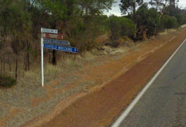
The Kulyaling Park Picnic Ground is off Kulyaling Road with plenty of space for caravans to pop in and have a picnic. There are some shady trees here and room for your dog to have a run, and this spot is approximately 200 metres from the Great Southern Hi ...
Read More...
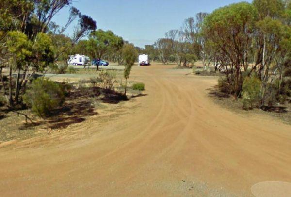
Kumarl Siding Rest Area 24 Hour Limit
The Kumarl Siding Rest Area is a large area with some small trees offering some shade to park your caravan. There are picnic tables, fireplaces with bbq facilities, and rubbish bins so it's not a bad place for an overnighter, but you will be quite close a ...
Read More...
, , ,
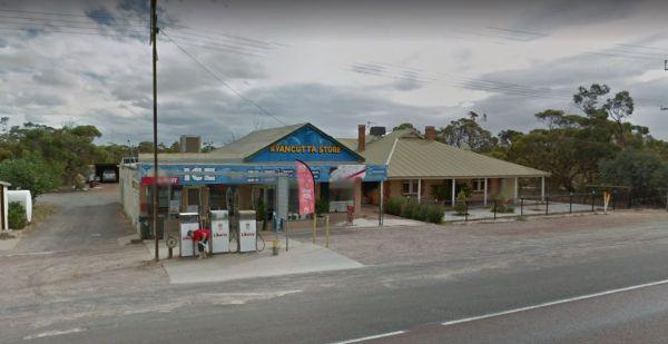
When stopping at the Kyancutta Rest Area you can have a look at the Old World War 2 Artillery Gun, make a call from the Phone box or walk to the General Store and pick up supplies should keep you occupied for a short time.
Entrance to the Kyancutta Rest ...
Read More...
If stopping at the Kyneton Mineral Springs Rest Area, why not grab some fresh Mineral Water direct from the old hand pump and with the Campaspe River is next to the car-park, it's a nice place for a rest.
Entrance to the Kyneton Mineral Springs Rest Area ...
Read More...
, , , ,
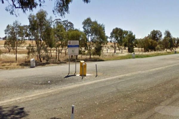
The Kywong Rest Area is also a Fruit Fly Checkpoint, so remember to dump any fruit you have to help prevent the fly from destroying fruit crops. Entrance to the Kywong Rest Area Kywong Rest Area location map
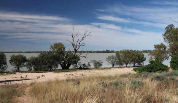
The Lake Benanee Rest Area has great views of lake and birdlife and sunsets are nice. This is a gravel area with a public toilet with wheelchair access, a few picnic tables, rubbish bins and plenty of spots to park your caravan.
Entrance to the Lake Bena ...
Read More...
, , , ,
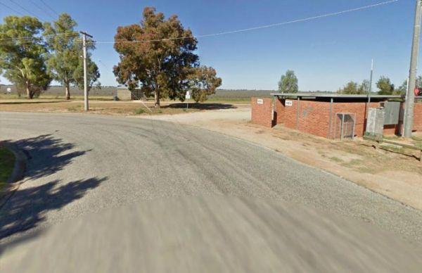
The Lake Boga Rest Area lake is sometimes subject to drought condition, so NO Permanent WATER. Entrance to the Lake Boga Rest Area Lake Boga Rest Area location map
, , , ,
Lake Bolac Rest Area
The Lake Bolac Rest Area is a short distance to Lake Bolac and water levels in the lake fluctuate, depending on seasonal conditions. Entrance to the Lake Bolac Rest Area Lake Bolac Rest Area location map
,
Entrance to the Lake Bonney Rest Area Lake Bonney Rest Area location map
, ,
Entrance to the Lake Buninjon Rest Area Lake Buninjon Rest Area location map
,
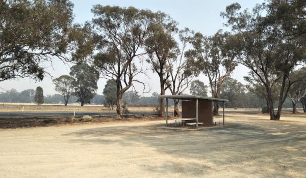
The Lake Centenary Rest Area has a few trees for shade and room to park your caravan, there is undercover picnic tables and a dedicated Jet Boat Circuit just behind here, so it should prove to be a great photo opportunity if a few boats are running.
Entr ...
Read More...
,
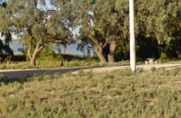
Lake Charm Rest Area
At the Lake Charm Rest Area, you can take a break and have a bbq. This rest area is next to Racecourse Lake.Note: the lakes water levels vary according to the seasonal conditions.
Entrance to the Lake Charm Rest Area
Lake Charm Rest Area location map ...
Read More...
, , , ,
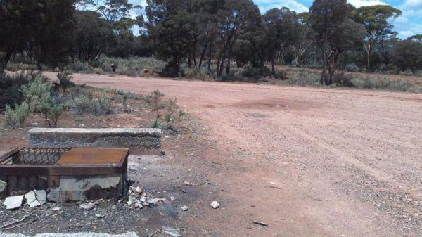
The Lake Cowan Rest Area is very close to the Coolgardie-Esperance Highway with level gravel surfaces with a few small trees for shade to park your caravan under. There are rubbish bins, fireplace with bbq facilities and for the more adventurous, you can ...
Read More...
, , ,
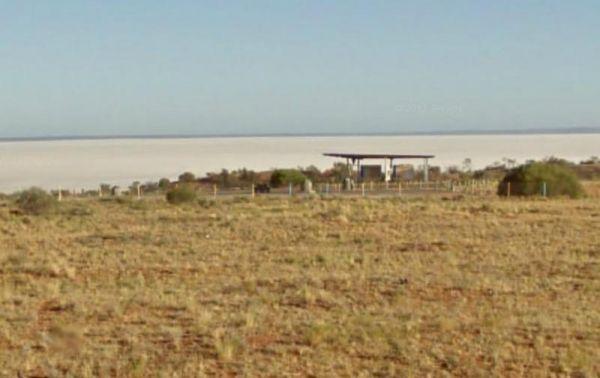
The Lake Hart Rest Area and Lookout is good for a break stop when driving down the Stuart Highway. You can stretch your legs, walking over to the salt pans.
There are picnic tables and rubbish bins here, and Don't get your hopes up if you want to go fish ...
Read More...
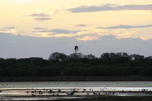
The Lake Nallan Rest Area is set back a bit from the main road on a level area of natural dirt area. There's not much to do here as this lake is often dry during drought times, so this is just a place to take a break from driving.
Lake Nallan Rest Area l ...
Read More...
,
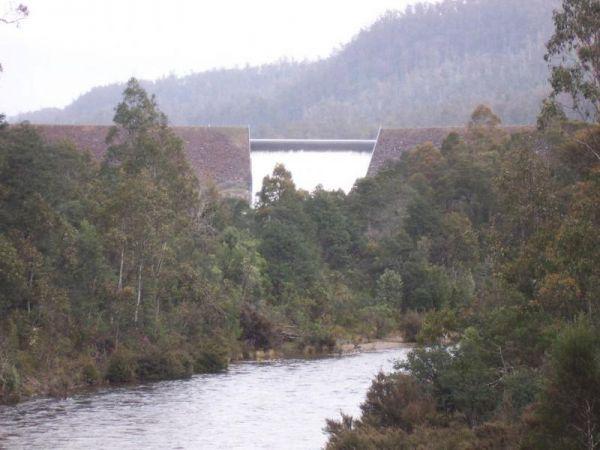
Lake Rowallan Bridge Rest Area
The Lake Rowallan Bridge Rest Area is on the banks of the Mersey River. I’ve said fishing is available, but you do have to walk a short while to find a suitable place near the bridge. Lake Rowallan Bridge Rest Area location map
, , ,
Lake Tyers Forest Park - Toorloo Arm Rest Area
Entrance to the Lake Tyers Forest Park - Toorloo Arm Rest Area Lake Tyers Forest Park - Toorloo Arm Rest Area location map
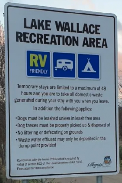
Lake Wallace Reserve Rest Area
Lake Wallace Reserve Rest Area
The onsite taps use Town water.
Time to take that Kayak off the roof and put it to good use there is also a public boat ramp.
Both Rainbow and Brown trout are in the lake so good luck.
There is now a children's play ar ...
Read More...
, , , ,
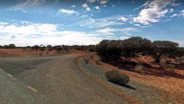
The Lake Way Rest Area is about 150 metres from the Goldfields Highway on a reasonable level surface for caravans. There is an undercover picnic table and seating, nothing you can really call shade so this is a place to pull over if your tired, rest a bit ...
Read More...
,
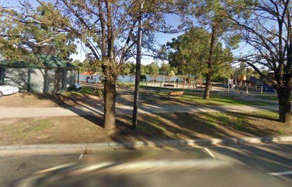
Entrance to the Lake Weeroona Park Rest Area Lake Weeroona Park Rest Area location map
, , , , ,
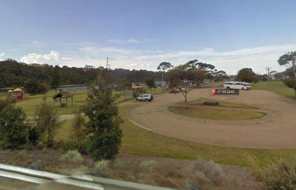
Lakes Entrance Parking Area
The Lakes Entrance Parking Area Walk over to the Tidal inlet and toss a line in. Have a BBQ while the kids play on the playground or pop over to the Visitor Information Centre.
Entrance to the Lakes Entrance Parking Area
Lakes Entrance Parking Area lo ...
Read More...
, , , ,
Landsborough Park Rest Area
The Landsborough Park Rest Area has a Railway running about 50 metres from this spot, so it's great if your a train watcher. Entrance to the Landsborough Park Rest Area Landsborough Park Rest Area location map
, , ,
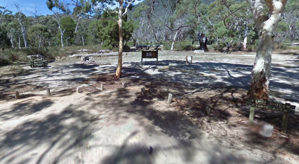
The Langi Ghiran Rest Area is a handy place to pull over and not to far from Ararat and located just on the edge of the State Park. Entrance to the Langi Ghiran Rest Area Langi Ghiran Rest Area location map
,
Larras Lee Rest Area
Larras Lee Rest Area is a good place for stop, rest and refresh. Plenty of parking available, long drop public toilet with hand wash basin, undercover picnic table and rubbish bins.
Entrance to the Larras Lee Rest Area
Larras Lee Rest Area location ma ...
Read More...
,
From the Lawless Rest Area, you can walk over to the Boonara Creek, have a picnic, and when you feel well rested, you can set off on your way again. Lawless Rest Area location map
Leigh Creek Junction Rest Area
The Leigh Creek Junction Rest Area is located off a gravel road, just off The Outback Way, there are a few trees offering limited shade and rubbish bins and space to park your caravan.
Leigh Creek itself, is a former coal-mining town.
Entrance to the Le ...
Read More...
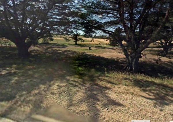
Leigh River Rest Area
Entrance to the Leigh River Rest Area Leigh River Rest Area location map
, , ,
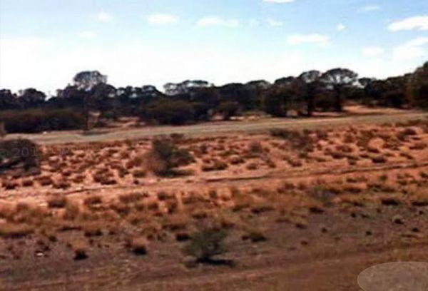
The Leinster South Rest Area is a long gravel area running about 40 meters in and parallel with the Goldfields Highway. There is plenty of space to park your caravan on level ground, with some small shrubs for shade, if you can it that.
Entrance to the L ...
Read More...
,
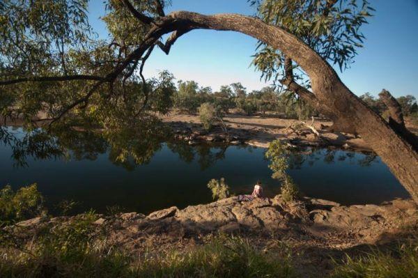
Lennard River Rest Area
The Lennard River Rest Area is along the banks of the Lennard River, so you might be able to catch a fish here. The campsite is reasonably level and approximately 100 metres of the main road with some small trees for shade.
Entrance to the Lennard River ...
Read More...
, ,
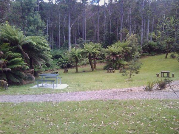
At the Leven Canyon Camping Area if you intend to take the 1.2km circuit walk allow a minimum of 45 minutes, be prepared for 697 Steps and some steep sections in the walking track. Also be prepared for severe weather conditions that change quite quickly, ...
Read More...
, , , , ,
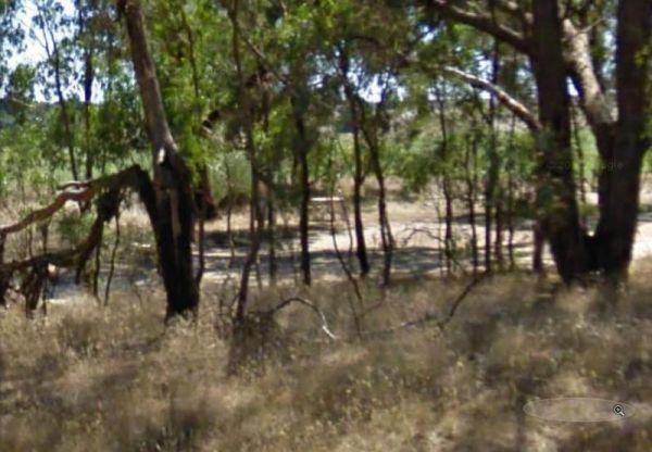
Lexton South Rest Area is located on the outskirts of Lexton, there is not a lot to do here apart from take a rest from driving, and try and work out which way to Ararat hahaha.
Entrance to the Lexton South Rest Area
Lexton South Rest Area location ma ...
Read More...
,
The Leycesters Rest Area has plenty of room with some sites shaded while the others are in full sun. There is a public toilet with a black water dump point, undercover picnic tables, and a rubbish bin just a short distance from the Ord River. The river is ...
Read More...
, , , ,
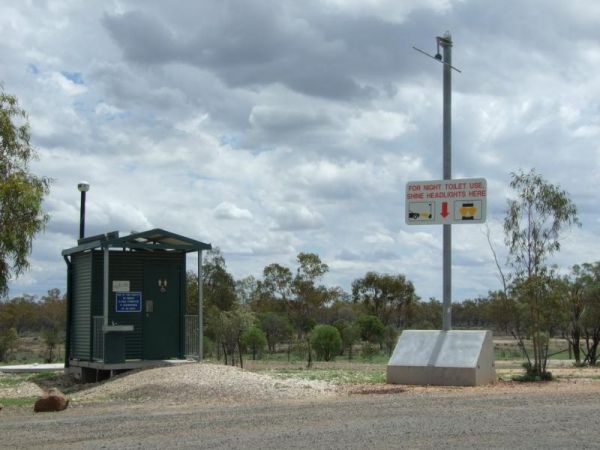
Lightning Ridge Turnoff Rest Area
Entrance to the Lightning Ridge Turnoff Rest Area Lightning Ridge Turnoff Rest Area location map
, ,
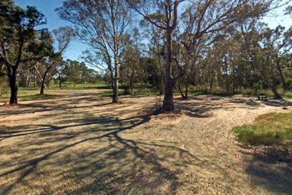
The Lima East Creek Rest Area, is a gravel parking area on the edge of the Midland Highway, with lots of trucks going by. There is a picnic table, a fireplace and a bit of shade. the creek has a trickle of water in it.
Entrance to the Lima East Creek Res ...
Read More...
, ,
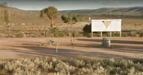
Lincoln Eyre Highway Junction Rest Area
Entrance to Lincoln Eyre Highway Junction Rest Area Lincoln Eyre Highway Junction Rest Area location map
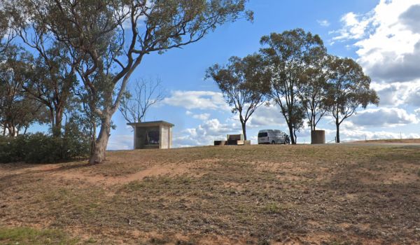
The Lions Lookout Rest Area is set back from the highway with a few trees around for shade, its OK for a snooze and not much else, with a few trees around for shade and a picnic table to sit and enjoy a short break from driving.
Entrance to the Lions Loo ...
Read More...
,
Little Billabong Northbound Truck Bay
The Little Billabong Northbound Truck Bay is slightly elevated and running parallel to the Hume Highway with room to park your caravan, however there is only limited shade available, and a few rubbish bins.
Entrance to the Little Billabong Northbound Tru ...
Read More...
,
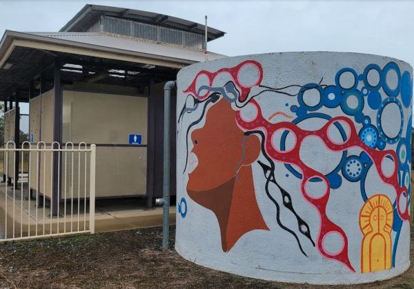
Little Billabong Rest Area
Little Billabong Rest Area has some historical information boards, nice view across farm paddocks to the hills. There is plenty of room to park your caravan, public toilets, undercover seating and rubbish bins, but no shade for your vehicle.
Entrance to ...
Read More...
, , ,
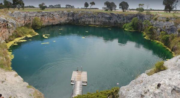
Little Blue Lake Rest Area
From the Little Blue Lake Rest Area a good path leads down to the water's edge where you will find a pontoon, check the warning sign as there is often a blue green algae growing in this limestone lake.
Entrance to the Little Blue Lake Rest Area
Little ...
Read More...
,
The Little Creek Reserve Picnic & Rest Area does not have enough water for a kayak unless you enjoy lifting it over the shallow rocky sections. There are wood fired bbqs and picnic tables and some shade to park under.
Little Creek Reserve Picnic & ...
Read More...
, , ,
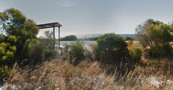
Little Freshwater Point Rest Area
The Little Freshwater Point Rest Area is a strip of asphalt running approximately 20 meters parallel with the Indian Ocean Drive offering nice views of the Indian Ocean with a public toilet block, some rubbish bins and a nice view of the with plenty of ro ...
Read More...
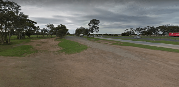
Little River Highway Rest Stop (Northbound)
Entrance to the Little River Highway Rest Stop (Northbound) Little River Highway Rest Stop (Northbound) location map
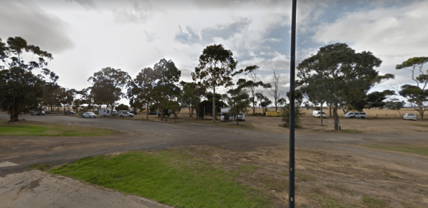
Little River Highway Rest Stop (Southbound)
The Little River Highway Rest Stop (Southbound) now has NO CAMPING signs but it's a nice place to take a break from driving. There is a petrol station next to this rest spot with take away food and an Information Center.
Entrance to the Avalon Rest Area ...
Read More...
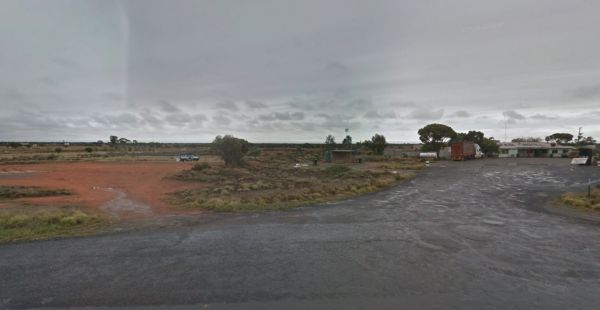
Little Topar Rest Area
If stopping at the Little Topar Rest Area, you can walk across the road to the local Hotel for a lemonade. There is room to park your caravan, with some wood fired bbqs, undercover picnic tables and public toilets for those who don't want some pub food. ...
Read More...
, , ,
Lloyd Jones Weir Riverside Reserve Camp Area
The Lloyd Jones Weir Riverside Reserve Camp Area is a nice place to enjoy a day or two, this is a popular stopover so it always a good idea to arrive early and pick a good spot to stay. Lloyd Jones Weir Riverside Reserve Camp Area location map
, , , ,
The Lochiel South Rest Area is reasonably level with a few trees offering limited shade, and no sound barrier between you and the Princess Highway.
P.S. Don't waste your time to go fishing, as there is nothing to catch here, and water levels vary dependi ...
Read More...
,
Log Crossing Picnic Area
Log Crossing Picnic Area Log Crossing Picnic Area location map
, , , ,
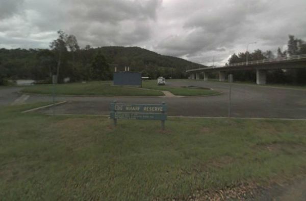
Log Wharf Reserve Rest Area
The Log Wharf Reserve Rest Area has a boat ramp, and plenty of space to park your caravan. There are undercover picnic tables, a few BBQ's and rubbish bins, and a public toilet. This is a nice scenic spot on the banks of the Wilson River to take a break f ...
Read More...
, , , , ,
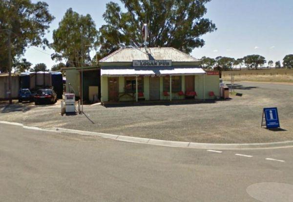
To stay at the Logan Pub Rest Area, please phone ahead, and ask for permission at the pub to camp. ph: (03) 5496 2220 Entrance to the Logan Pub Rest Area Logan Pub Rest Area location map
, ,
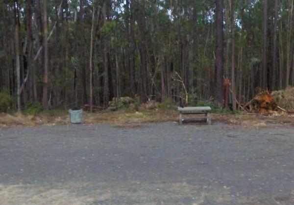
Lomond Hill Rest Area is just another place to take a break from driving and sit at the table and grab a bite to eat. Entrance to the Lomond Hill Rest Area Lomond Hill Rest Area location map
Longwarry North Rest Area (Westbound only)
Entrance to the Longwarry North Rest Area (Westbound only) Longwarry North Rest Area (Westbound only) location map
, ,
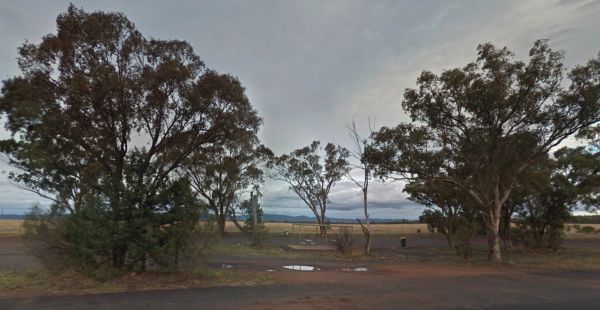
The Lyndabale Rest Area is surrounded by flat land in all directions, so not a lot see or do here, so take advantage of the undercover picnic table. Entrance to the Lyndabale Rest Area Lyndabale Rest Area location map
,
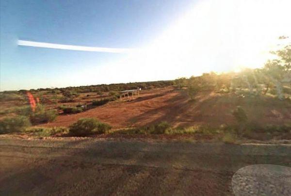
Entrance to the Lyndon River East Rest Area Lyndon River East Rest Area location map
, , ,
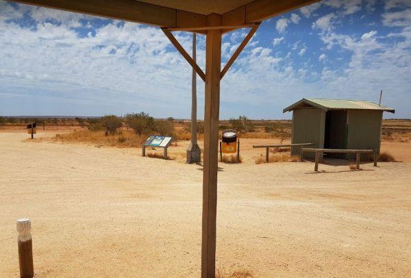
Entrance to the Lyndon River West Rest Area Lyndon River West Rest Area location map
, ,
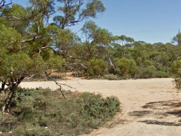
The Lyrup Turn Off Rest Area is right next to the Sturt Highway, you will hear all the road noise from passing cars and trucks. Entrance to the Lyrup Turn Off Rest Area Lyrup Turn Off Rest Area location map
,
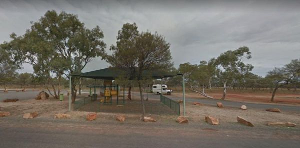
The MacCullochs Range Rest Area is next to the Barrier Highway and accessible from both sides of the highway. There's plenty of room to park your caravan, rubbish bins, undercover picnic tables, bbq, rubbish bins and emergency tank water supply. Plus a we ...
Read More...
, ,
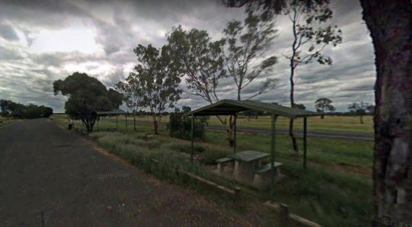
MacFarlane Rest Area
At the MacFarlane Rest Area there is not much to do here, other than take a break from driving, and make a cuppa. The scenery is pretty much the same in all directions. (Rather flat)
Entrance to the MacFarlane Rest Area
MacFarlane Rest Area location m ...
Read More...
, , , ,
Mackay Park Rest Area
The Mackay Park Rest Area, you can stretch the legs a bit and walk over to the corner of Burley Griffin Way and Olympic Hwy to a local store and get the local gossip. There are picnic tables, Public toilets, wood fired bbq facilities, rubbish bins and ple ...
Read More...
, , , ,
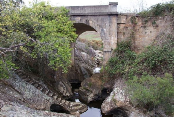
Mackey VC Rest Area
Mackey VC Rest Area is in close proximity to the highway and obviously noisy. There are composting toilets with hand washing basin, undercover picnic tables, bbqs, and rubbish bins and room to park your van. There is a fascinating bridge over Black Bobs C ...
Read More...
, ,
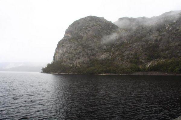
The Mackintosh Dam Rest Area camping area is past the dam wall, further down the road. Entrance to the Mackintosh Dam Rest Area Mackintosh Dam Rest Area location map
,
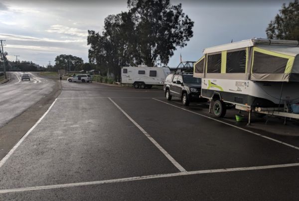
Macksville Lions Park Rest Area
Macksville Lions Park Rest Area is a small tidy park right on the river's edge and very popular amongst travellers. The park has bbq facilities, public toilets, boat ramp, children's playground, rubbish bins, and it's a free overnight stop over with room ...
Read More...
, , , , , ,
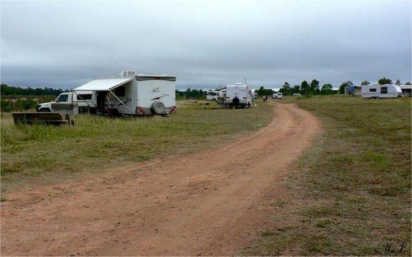
From the Macrossan Park Rest Area you can drop the kayak in and paddle down and have a look at the twin railway bridges. Perhaps you would prefer to sit on the bank of the Burdekin River, and kill some time fishing. Don't forget to take your camera with y ...
Read More...
, , , , , ,
The Macsland Rest Area is a popular overnight stop for Trucks, you can move off into the scrub if you like and stay overnight there instead if you like. Entrance to the Macsland Rest Area Macsland Rest Area location map
, ,
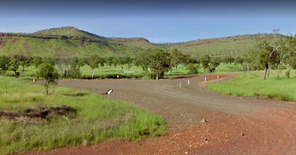
Entrance to the Maggie Creek Rest Area Maggie Creek Rest Area location map
, ,
Entrance to the Malcolm Dam Nature Reserve Malcolm Dam Nature Reserve location map
, ,
The Malone Park Rest Area has plenty of space for all caravans and motorhomes of all sizes. Entrance to the Malone Park Rest Area Malone Park Rest Area location map
, , ,
Mambray Creek Rest Area
From the Mambray Creek Rest Area check out the Old rail bridge while your there, you'll find plenty of parking on both sides of the road. Entrance to the Mambray Creek Rest Area Mambray Creek Rest Area location map
,
Manangatang Rest Area
The Manangatang Rest Area is opposite the a Manangatang hotel and set on a large gravel with toilets and plenty of room to park your rig. Note a donation is asked if you use the power and toilets. These small towns are struggling, so do help them out, and ...
Read More...
, , ,
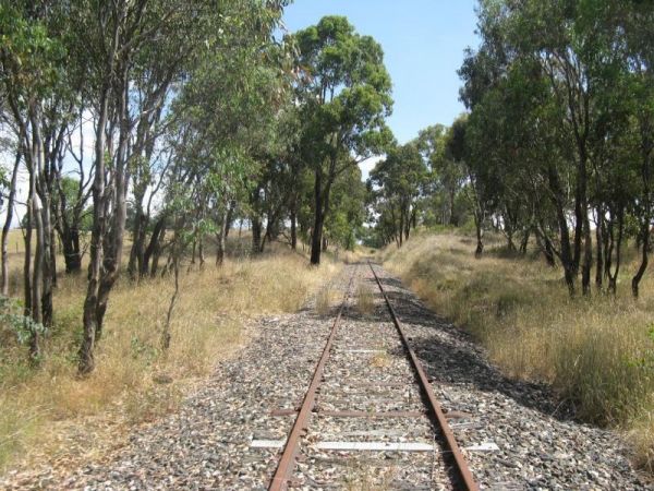
The Mandurama East Rest Area has a Railway line running along the back of this spot, it's an OK spot to enjoy a break from driving and BBQ picnic at the same time. Entrance to the Mandurama East Rest Area Mandurama East Rest Area location map
, ,
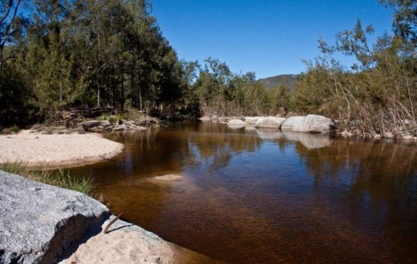
When visiting the Mann River Nature Reserve, why not pop your Kayak in and paddle up to the Old Bridge, all that's left to see are the supports jutting out of the water. Or you can cross over the river and stay in the Mann River Caravan Park. There is a p ...
Read More...
, , , , ,
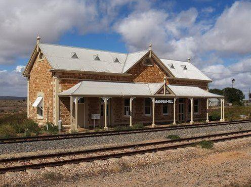
Manna Hill Park Rest Area
From the Manna Hill Park Rest Area pop over and take a photo of the railway station, it's a nice old stone building and take a look at the local museum its located in the Hotel Building.
Entrance to the Manna Hill Park Rest Area
Manna Hill Park Rest A ...
Read More...
, ,
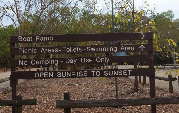
Manton Dam Recreation Area
The Manton Dam Recreation Area has plenty of places to have a picnic in the shade, and there is a public toilet and rubbish bins present. This is a nice spot to pop your Kayak into and paddle around for a bit, and maybe do some fishing.
Gates are Open: M ...
Read More...
, ,
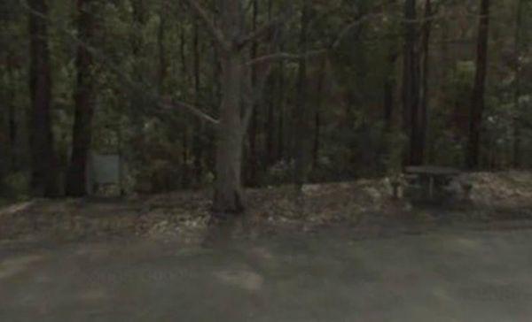
Maramingo Creek Rest Area
Entrance to the Maramingo Creek Rest Area Maramingo Creek Rest Area location map
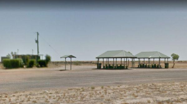
Marathon Rest Area if you don't like this place to stop, then your in for another 48 kilometre drive to the next one. So take a short break from driving, then continue on to the next one, at either, Richmond or Hughenden, depending which upon direction yo ...
Read More...
, , , ,
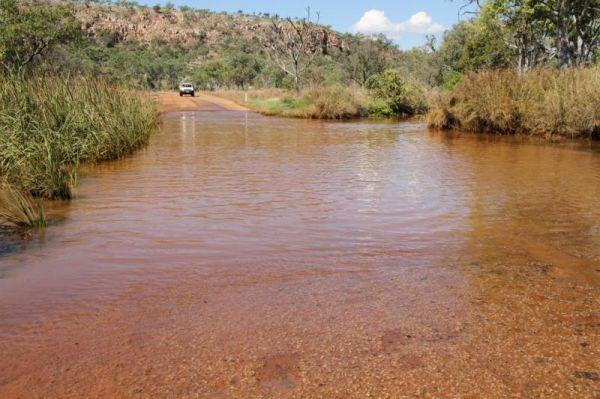
March Fly Glen Rest Area
March Fly Glen Rest Area location map
, , ,
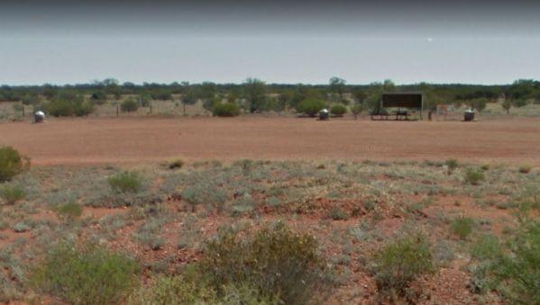
The Marla South Rest Area has lots of nothing in every direction, but at least its level ground for the caravan. Entrance to the Marla South Rest Area Marla South Rest Area location map
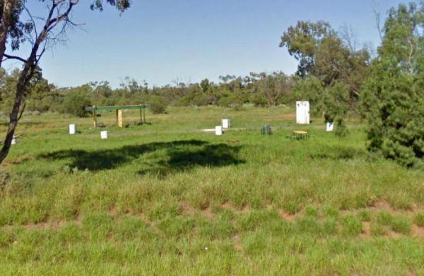
The Maroona Rest Area is just another stop over and take a short rest from driving, and it's a short distance from the Mitchell Highway on a small gravel section with an undercover picnic table, wood fired bbq and a few rubbish bins.
Entrance to the Maro ...
Read More...
, ,
Marr Creek Rest Area
The Marr Creek Rest Area has the makings of a wonderful overnight spot, with the Mann River on your doorstep. There are undercover picnic tables, wood fired bbqs, rubbish bins and tank water here.
Entrance to the Marr Creek Rest Area
Marr Creek Rest A ...
Read More...
, , , , , ,
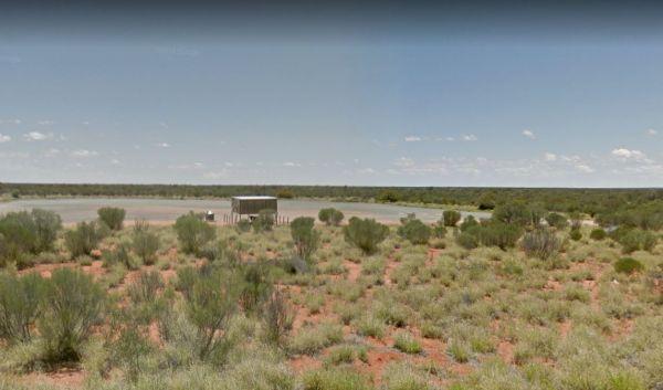
Marryat Creek North Rest Area
The Marryat Creek North Rest Area is Hot, Flat, Dry and desolate, it makes you wonder how anything can live in a place like this. There are undercover picnic tables, rubbish bins, tank water and plenty of off road parking for your caravan or motorhome.
E ...
Read More...
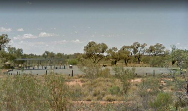
Marryat Creek Rest Area
The Marryat Creek Rest Area has an emergency Phone and emergency rainwater tank to supply of Drinking water. There is lots of space for your caravan, you will find undercover picnic tables, rubbish bins to compliment this rest area.
Entrance to the Marry ...
Read More...
,
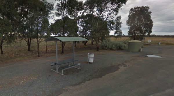
Marsden Rest Area Northbound
Entrance to the Marsden Rest Area Northbound Marsden Rest Area Northbound location map
, ,
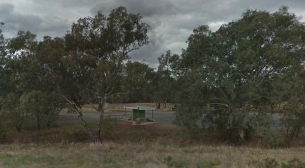
Marsden Rest Area Southbound
Entrance to the Marsden Rest Area Southbound Marsden Rest Area Southbound location map
, , ,
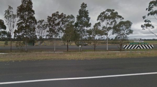
Marthaguy Rest Area
The Marthaguy Rest Area is on a long strip of asphalt running parallel to the Newell Highway with a few trees for shade. It's place to pull over and have a bite to eat in the undercover table and seating area, or use the public toilet and rubbish bins.. ...
Read More...
, ,
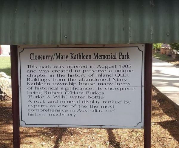
From the Mary Kathleen Memorial Park you can check out the memorial park with associated museum pieces, you can always pop over to the Open Air Theatre to see what’s showing. Also pop into the Visitor Information Centre for more things to do and see in th ...
Read More...
,
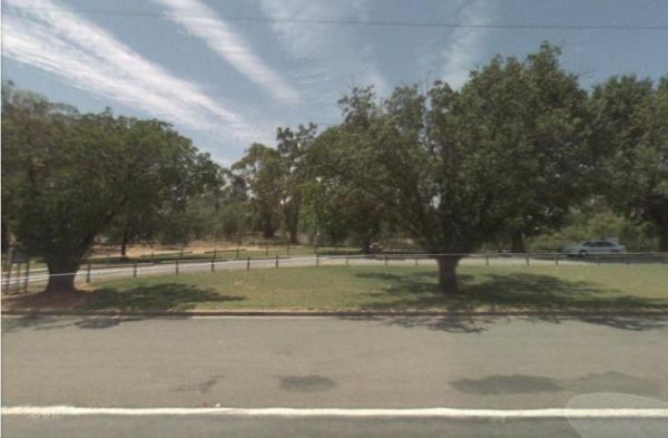
The Mary Lawson wayside Rest Area has an undercover picnic table plus rubbish bins. plus a museum beside this park, it's called the Log Museum. There is no camping allowed at Mary Lawson Wayside. If you want to stay longer, pop over to the Finley Lakeside ...
Read More...
,
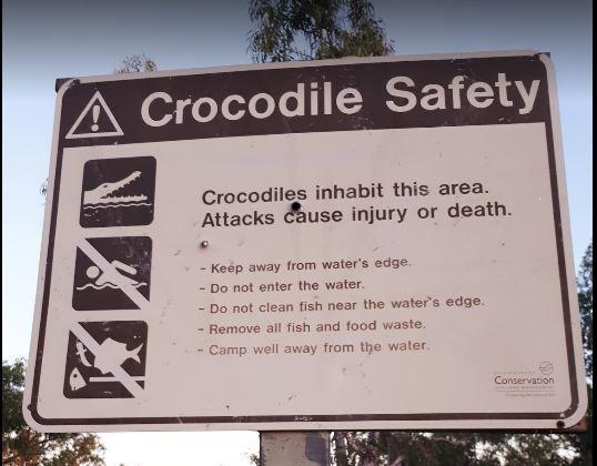
Mary Pool Rest Area
Mary Pool Rest Area location map
, , , ,
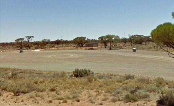
Maslin Rest Area
The Maslin Rest Area is a large dusty open flat area with limited shade, suitable for all sized caravans and motorhomes. This spot is just off the Stuart Highway with an undercover picnic table and a few rubbish bins.
Entrance to the Maslin Rest Area ...
Read More...
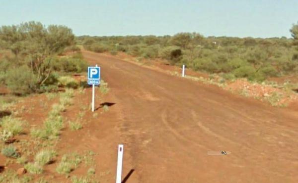
Mathesons Bore Rest Area
The Mathesons Bore Rest Area is a popular spot with plenty of room to cater for rigs of all sizes, the rest area is about 300 metres from the main road. Entrance to the Mathesons Bore Rest Area Mathesons Bore Rest Area location map
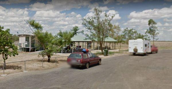
The Maxwelton Rest Area does not a lot to see or do here, so take a break and rest your weary bones a bit, and make use of the undercover picnic tables. Entrance to the Maxwelton Rest Area Maxwelton Rest Area location map
, ,
McDonalds Hole Road Rest Area
The McDonalds Hole Road Rest Area is set back a short way from the main road with a few picnic tablets spread around with a nice shaded area. The rest area is on an elevated gravel section, running next to the Castlereagh Highway
Entrance to the McDonald ...
Read More...
, ,
McKenzie River Rainforest Walk
The McKenzie River Rainforest Walk is approximately a 1 kilometer easy walk (there are a few stairs to negotiate), and is a nice break from driving. The picnic tables, rubbish bins, and toilet facilities make this a nice place to pull over, and as a bonus ...
Read More...
,
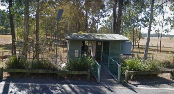
Entrance to the McPhillips Creek Rest Area McPhillips Creek Rest Area location map
, ,
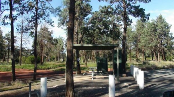
The Meadow Glen Rest Area is set a short distance away from the main road in amongst some trees with a public toilet, picnic table and fixed fire place, water is also available.
Entrance to the Meadow Glen Rest Area
Meadow Glen Rest Area location map ...
Read More...
, , , ,
Entrance to the Meckering Memorial Park Meckering Memorial Park location map
, , , , ,
Medowie Rest Area
Entrance to the Medowie Rest Area Medowie Rest Area location map
, ,
Entrance to the Meilman East Truck Parking Area Meilman East Truck Parking Area location map
, ,
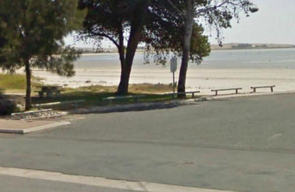
The Meningie Lions Jubilee Park has shops within walking distance. You can fish from the beach or from the small jetty at high tide, or take a nice walk along the sandy shoreline.
Entrance to the Meningie Lions Jubilee Park
Meningie Lions Jubilee Park ...
Read More...
, , ,
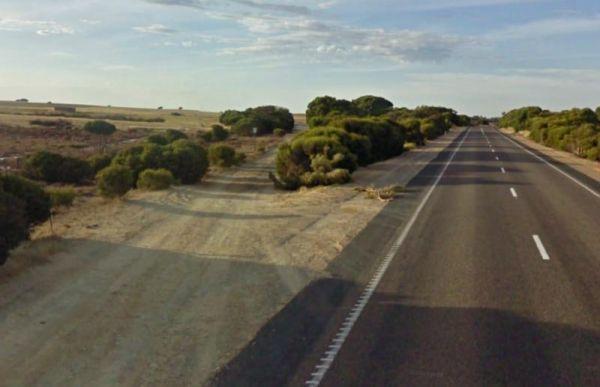
The Meningie South Rest Area is very easy to miss use the supplied GPS coordinates to locate this rest stop, it seems like it's seldom used so use at your own peril. Entrance to the Meningie South Rest Area Meningie South Rest Area location map
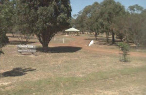
The Meredith Rest Area has a toilet block a BBQ, undercover seating and plenty of room to park your caravan. Meredith Rest Area 360 Entrance to the Meredith Rest Area Meredith Rest Area location map
, , , ,
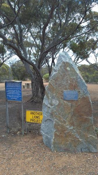
Meridian Rest Area
Entrance to the Meridian Rest Area Meridian Rest Area location map
,
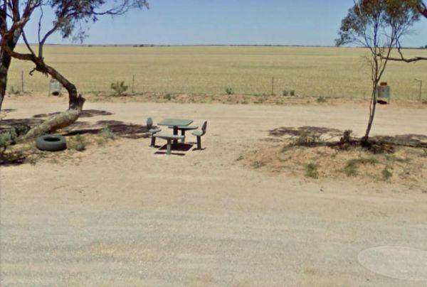
The Merrinee North Rest Area has a few trees for shade, a picnic table and rubbish bin onsite, with plenty of room to park your caravan or motorhome. Entrance to the Merrinee North Reset Area Merrinee North Reset Area location map
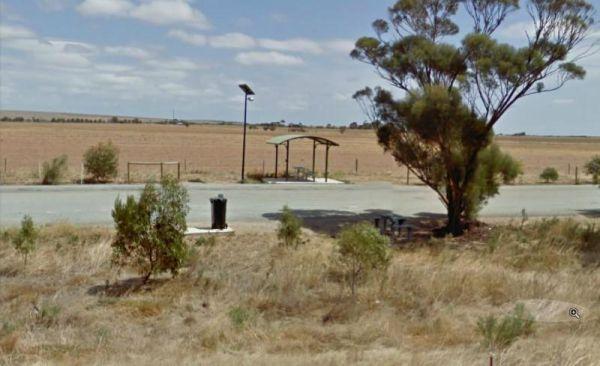
The Merriton North Rest Area is quite a long flat area with a few tall trees for shade, There are rubbish bins and undercover picnic tables, running alongside the Augusta Highway, so you will get road noise from the passing traffic.
Entrance to the Merri ...
Read More...
,
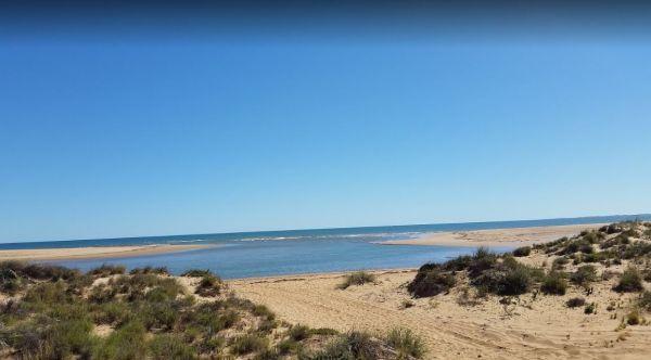
Miaboolya Beach Rest Area location map
,
Entrance to the Miaree Pool Rest Area Miaree Pool Rest Area location map
, , , , , ,
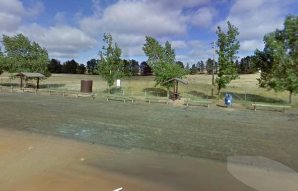
The Middleton VC Rest Area is located on the Remembrance Driveway it's a place to stop for a rest and a bite to eat before continuing on your way. There are undercover picnic tables, rubbish bins and tank water located here.
Entrance to the Middleton VC ...
Read More...
, ,
The Millicent North Rest Area is quite flat and it's an OK place to take a break from driving when tired. Park your caravan and sit at the table and watch the traffic go by to help pass the time.
Entrance to the Millicent North Rest Area
Millicent Nor ...
Read More...
,
The Millicent South Rest Area is a flat area, with plenty of shade, and can take all sized rigs fairly easily. There are rubbish bins and a fair amount of traffic noise from passing cars and trucks.
Entrance to the Millicent South Rest Area
Millicent ...
Read More...
In 1970 the Millionth Acre Park was created as a symbol to represent the one million acres mark of planted radiata pine trees throughout Australia. Entrance to the MIllionth Acre Picnic Area MIllionth Acre Picnic Area location map
,
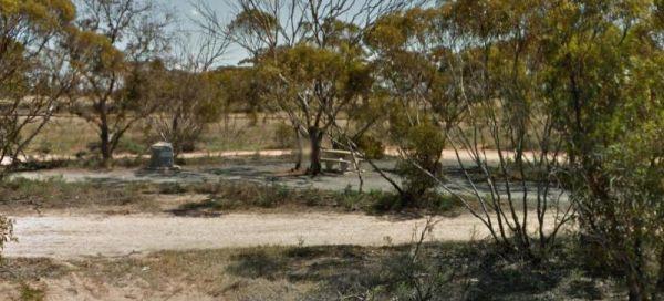
The Mindarie Rest Area is just off the Karoonda Highway with a few low shrubs offering a bit of relief from the sun and some rubbish bins and picnic table set in amongst low bushes for shade.
Entrance to the Mindarie Rest Area
Mindarie Rest Area locat ...
Read More...
The Mingary Siding Rest Area is on gravel surface and has an abandoned water tower close by to grab a photo of, but not much else. Entrance to the Mingary Siding Rest Area Mingary Siding Rest Area location map
Entrance to the Minnivale Rest Area Minnivale Rest Area location map
, , ,
The Delatite River runs along the side of the Mirimbah West Rest Area, it's a nice spot to take a quick stroll with your trusty camera in hand. Entrance to the Mirimbah West Rest Area Mirimbah West Rest Area Location Map
, ,
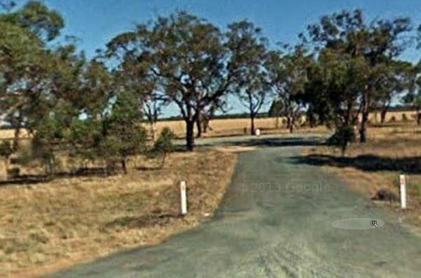
The Moama North Rest Area is set back approximately 60 metres from the Cobb Highway, with plenty of shady trees and a rubbish bin and not much else to do, sums up this location.
Entrance to the Moama North Rest Area
Moama North Rest Area location map ...
Read More...
,
The Mokoan Rest Area (North Bound) is a busy truck stop and very well appointed, a great place to pull over to take a break from driving with plenty of room to park and a double 15amp powerpoint in the BBQ hut.
Entrance to the Mokoan Rest Area (North Bou ...
Read More...
, , ,
The Mokoan Rest Area (South Bound) has electric bbqs, public toilets with hand washing facilities, picnic tables, plus plenty of room to park all sized rigs. Entrance to the Mokoan Rest Area (South Bound) Mokoan Rest Area (South Bound) location map
, , , ,
The Moliagul Rest Area, a monument commemorating John Flynn the founder of the Flying Doctor service who was born nearby. Here you will find flushing public toilets, an undercover picnic table and a bbq.
Entrance to the Moliagul Rest Area
Moliagul Res ...
Read More...
, , ,
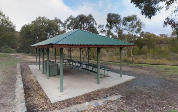
Molonglo Gorge Reserve Rest Area has a public toilet, plus bbq and a small children's playground, and the Molonglo River is very close if you want to try your hand at fishing, or take a few photos to remember this place.
Molonglo Gorge Reserve rest area ...
Read More...
, , , , ,
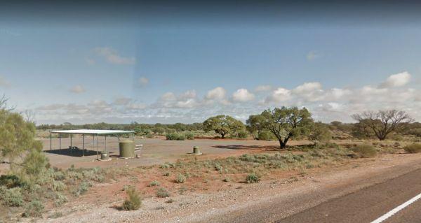
Monalena Lagoon Rest Area
The Monalena Lagoon Rest Area does not much to do apart from taking a rest from driving, and have a picnic, either under the trees or under the roof of the pavillion. Emergency Drinking water is available from the tank, but it would be advisable to boil i ...
Read More...
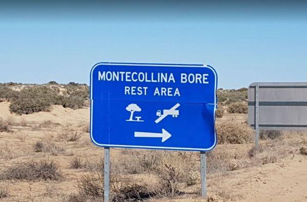
If your planning on stopping at the Montecollina Bore Rest Area contact first to check weather conditions. Raylene and Ken Ogilvy. Lindon Station (SA) via Tibooburra, NSW, 28800427 878899
We ask you care for the land and it's Aboriginal heritage, keep yo ...
Read More...
Entrance to the Montieth Rest Area Montieth Rest Area location map
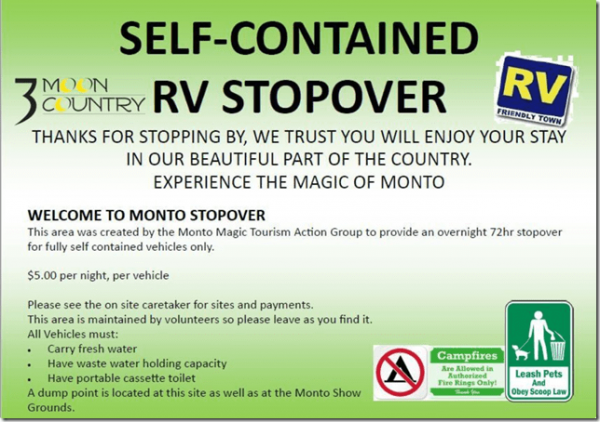
Monto Community Rest Area Campground location map
, , , ,
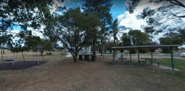
At the Monto Lions Park Rest Area freshen yourself up and take a rest from driving, pop into the main town and restock your larder in Newton Street.
No Overnight Camping Permitted.
Entrance to the Monto Lions Park Rest Area
Monto Lions Park Rest Area ...
Read More...
, , , ,
Moochalabra Dam Picnic Area location map
, , 
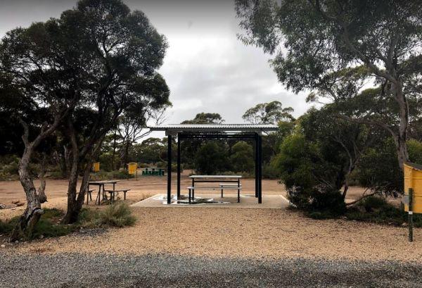
Entrance to the Moodini Bluff Rest Area Moodini Bluff Rest Area location map
, ,
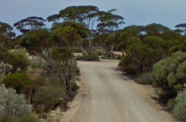
Entrance to the Moonera Tank Rest Area Moonera Tank Rest Area location map
, ,
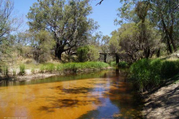
Entrance to the Moore River Bridge Rest Area Moore River Bridge Rest Area location map
, ,
The Mooroopna Rest Area has a skateboard ramp, public toilets, bbqs, undercover picnic tables, and a few playground attractions for the little ones. Entrance to the Mooroopna Rest Area Mooroopna Rest Area location map
, , , , ,
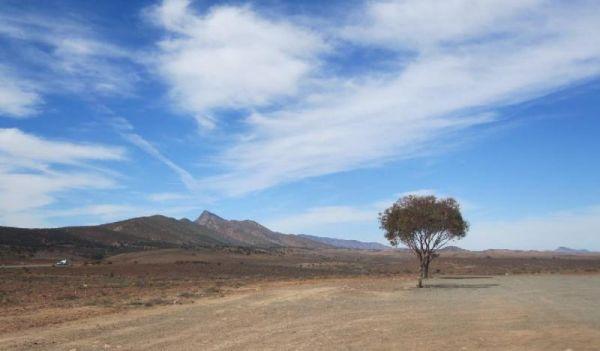
Moralana Creek Rest Area
The Moralana Creek Rest Area is a large level gravel area with one tree to give you some shade, a few distant mountains to look at, an not much else to do here. Entrance to the Moralana Creek Rest Area Moralana Creek Rest Area location map
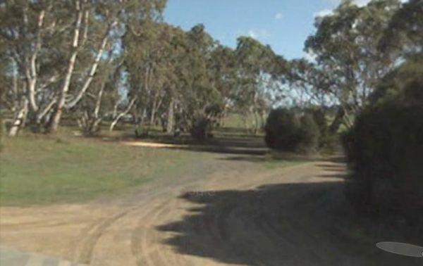
Entrance to the Morambro Creek Rest Area Morambro Creek Rest Area location map
,
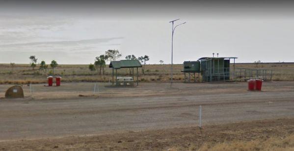
From the Morella Rest Area you can watch the Trains go by, or watch the Trucks go by, and you’ve seen it all. So it's a break in driving sort of place. Entrance to the Morella Rest Area Morella Rest Area location map
, ,
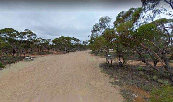
Morgan Road Rest Area
The Morgan Road Rest Area is a large level gravel area with a few tracks leading into the bush. This spot has plenty of shade, a picnic table and a few rubbish bins. Entrance to the Morgan Road Rest Area Morgan Road Rest Area location map
,
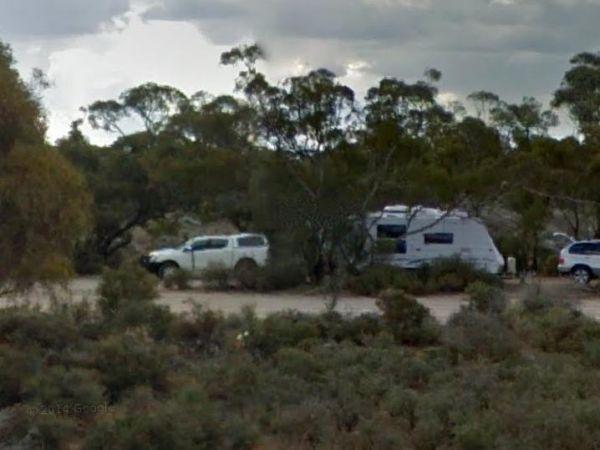
The Morgan West Rest Area is just off the Thiele Highway, with a bit of shade on reasonably level ground, OK for a Rest from driving. Entrance to the Morgan West Rest Area Morgan West Rest Area location map
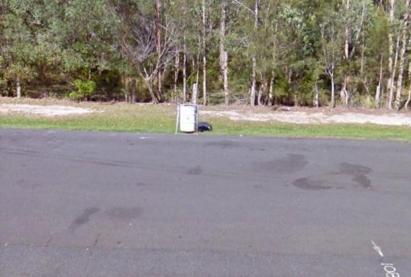
The Mororo Rest Area is a tree lined strip of asphalt that runs along the Pacific Highway. There is plenty of room to park your caravan, but only two rubbish bins here. Entrance to the Mororo Rest Area Mororo Rest Area location map
,
Mount Bryan Rest Area
The Mt Bryan Rest Area is just off the Barrier Highway there is a turbine blade on display, You don't realise how big these things are until your up close to one. The parking area is on a large a gravel surface, where you can park many caravans of all siz ...
Read More...
, , ,
Mount Dutton Bay Rest Area
The Mount Dutton Bay Rest Area is level and right on the bay's edge. Please keep the adjacent boat launching area and carpark clear for the locals. Entrance to the Mount Dutton Bay Rest Area Mount Dutton Bay Rest Area location map
, ,
The Mount Gladstone Lookout Rest Area has nice views available from the lookout platform remember to take your camera and not your fishing line. (A bit of humor, Oh Well, sometimes it works hahaha) Mount Gladstone Lookout Rest Area location map
,
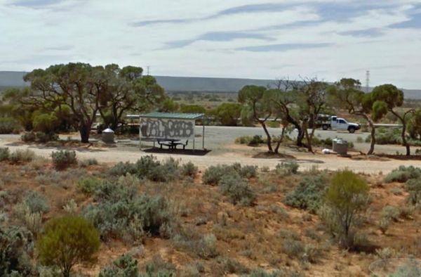
Mount Whyalla Rest Area
Entrance to the Mount Whyalla Rest Area Mount Whyalla Rest Area location map
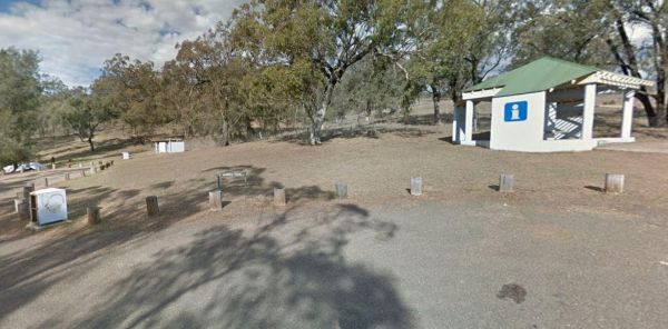
Mount Wingen Burning Mountain Nature Reserve, which is administered by the NSW National Parks and Wildlife Service A trail runs from the Park carpark to the site where smoke emanates from the ground and includes information panels. The scientific estimate ...
Read More...
,
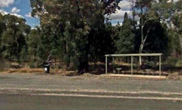
Mountain Creek Rest Area
At the Mountain Creek Rest Area you can stretch your legs and have a look at a few of the tracks into the trees if you want. Entrance to the Mountain Creek Rest Area Mountain Creek Rest Area location map
,
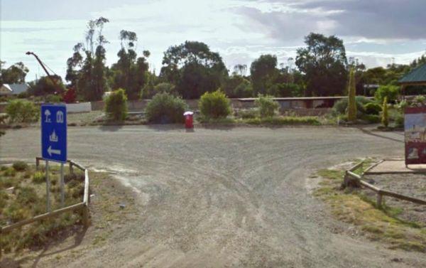
The Mt Bryan Rest Area is just off the Barrier Highway there is a turbine blade on display, You don't realise how big these things are until your up close to one. The parking area is on a large a gravel surface, where you can park many caravans of all siz ...
Read More...
, , , ,
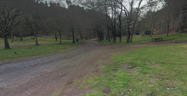
Mt Franklin Rest Area
Turn from Midland Highway to the Mt Franklin Rest Area Mt Franklin Rest Area location map
, ,
The Mt Korong Scenic Reserve has a walking track with a slow incline from the car park to the top of the rock outcrop. Mt Korong Scenic Reserve location map
The Mt Kosciuszko Lookout Rest Area has plenty of room to park all sized caravans on a large gravel surface. There is an information board and a few bench seats, and on a clear day you can see Mt Kosciusko in the distance.
Mt Kosciuszko Lookout Rest Area ...
Read More...
From the Mt Larcom Park Rest Area you can walk over to the the local shop and buy a Big Mama Pie then walk back and sit at the picnic tables and enjoy eating the pies. Entrance to the Mt Larcom Park Rest Area Mt Larcom Park Rest Area location map
, , ,
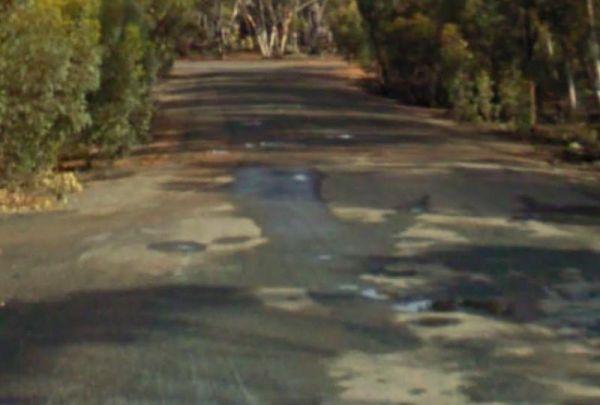
Mt Pleasant Rest Area
Entrance to the Mt Pleasant Rest Area Mt Pleasant Rest Area location map
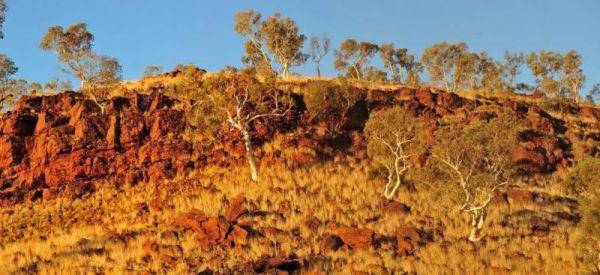
Entrance to the Mt Robinson Rest Area Mt Robinson Rest Area location map
, , ,
Mt Sturgeon Rest Area is the southernmost tip of the Grampians and just outside the township of Dunkeld and alongside the Glenelg Highway, with plenty of parking space a picnic table, plus tourist information board.
Entrance to the Mt Sturgeon Rest Area ...
Read More...
,
Entrance to the Mt Thirsty Rest Area Mt Thirsty Rest Area location map
, , ,
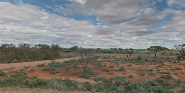
The Mt Vivian Rest Area is set a reasonable way back from the Stuart Hwy with a picnic table undercover to sit at, there really isn't much else to do to help pass the time away. So enjoy the flat desolate surroundings, but don't stray too far from you car ...
Read More...
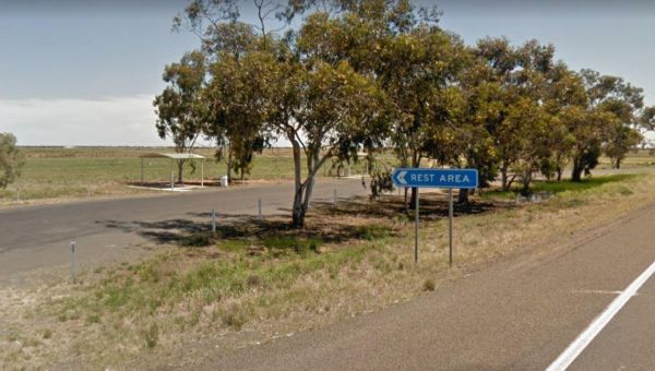
Mulberrygong Rest Area
Entrance to the Mulberrygong Rest Area Mulberrygong Rest Area location map

The Mulga Well North Rest Area is set back a reasonable distance from the Stuart Highway, on a level gravel surface with rubbish bins and an undercover picnic table for a bite to eat.
Entrance to the Mulga Well North Rest Area
Mulga Well North Rest Ar ...
Read More...
The Mullaley Park Rest Area has a Post Office across the road with a public phone booth if your mobile has died on you. Entrance to the Mullaley Park Rest Area Mullaley Park Rest Area location map
, , ,
Mullengandra Creek Rest Area
Entrance to the Mullengandra Creek Rest Area Mullengandra Creek Rest Area location map
,
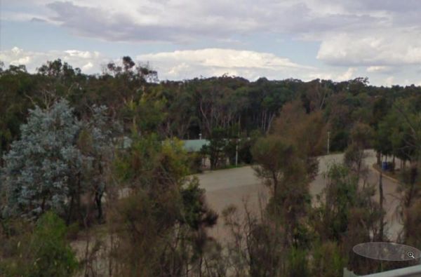
The Mundoonan Rest Area is an extremely well appointed rest area and accessible to northbound traffic on the Hume Highway. There are modern public toilets, undercover parking for cars, undercover picnic tables and free electric bbqs rubbish bins and emerg ...
Read More...
, , , , ,
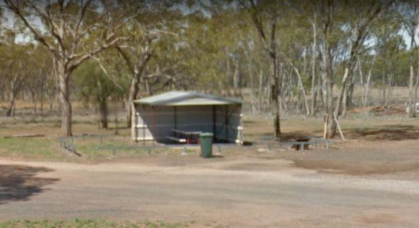
Mungallala Creek Rest Area
Entrance to the Mungallala Creek Rest Area Mungallala Creek Rest Area location map
, , ,
Entrance to the Munglinup Rest Area Munglinup Rest Area location map
, , , , ,
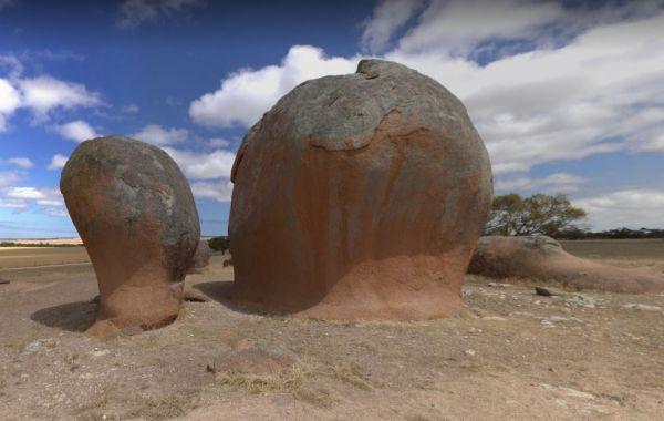
At the Murphy's Haystacks Park Rest Area you can walk along the path and explore the unusual rock formations at the park location. Entrance to the Murphy's Haystacks Park Rest Area Murphy's Haystacks Park Rest Area location map
,
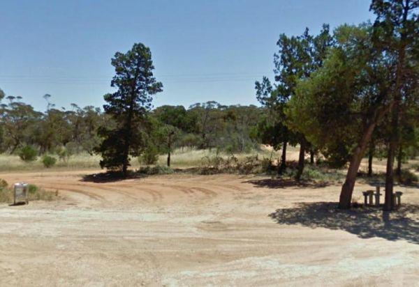
Murrayville East Rest Area
The Murrayville East Rest Area has a train track running parallel with the main road. There are quite a few tacks into the scrub for the more adventurous. Entrance to the Murrayville East Rest Area Murrayville East Rest Area location map
,
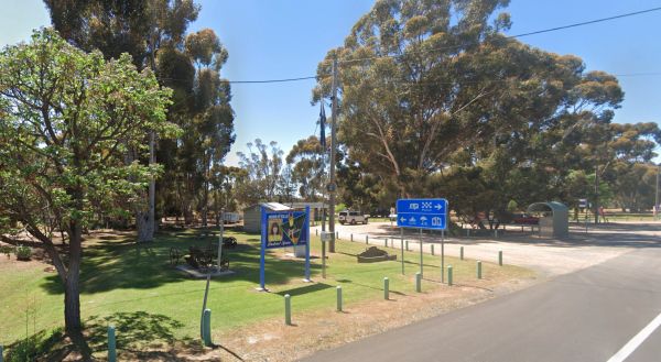
Murrayville Park Rest Area
The Murrayville Park Rest Area has a phone box and public toilet block, some old farm equipment on display, bbq, picnic tables, some shade spots to park your vehicle, and the Murrayville Hotel is directly across the road.
Entrance to the Murrayville Park ...
Read More...
, , ,
Murrungower Rest Area
The Murrungower Rest Area is set back from the Princes Hwy with a few trees to block the traffic noise. This rest area has had a major upgrade with asphalt being laid with plenty of room to park all sized rigs. There is a public toilet block, picnic table ...
Read More...
, ,
Myall Creek Rest Area
The Myall Creek Rest Area is a shady spot set back from the main road in amongst some tall trees that offer some nice shade. Entrance to the Myall Creek Rest Area Myall Creek Rest Area location map
, , ,
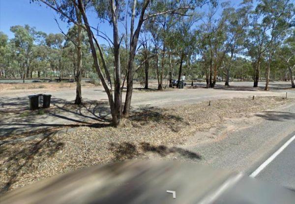
Myers Flat Rest Area
Myers Flat Rest Area is wedged between the railway and the Loddon Valley Hwy and on the outskirts of Bendigo (Eaglehawk end) so lots to explore in town, a good spot to stop and work out where you are going to stay, and there is lots of room to park, with ...
Read More...
, ,
The Nackara East Rest Area is on a gravel surface set back a fair distance from the Barrier Highway, with a few trees for shade, so time to take your dog for a short walk. Entrance to the Nackara East Rest Area Nackara East Rest Area location map
Entrance to the Najada Rockhole Rest Area Najada Rockhole Rest Area location map
Nalinga Rest Area
The Nalinga Rest Area has an undercover picnic tables area with rubbish bins. This rest area is on a large gravel area with plenty of parking for your caravan. The Broken River runs quite close to this rest area, so take your fishing rod with you, and try ...
Read More...
, ,
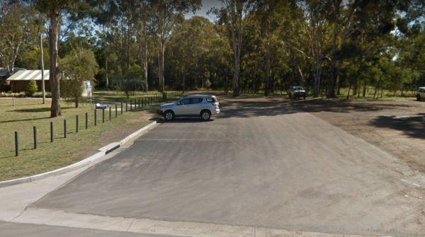
Entrance to the Nanango Dump Point Nanango Dump Point location map
, , ,
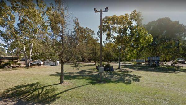
From the Nanango Tipperary Flat Rest Area you can stock up on supplies from the main strip shopping centre, which is located on the D'Aguilar Highway, Nanango.
Entrance to the Nanango Tipperary Flat Rest Area
Nanango Tipperary Flat Rest Area location ...
Read More...
, , , ,
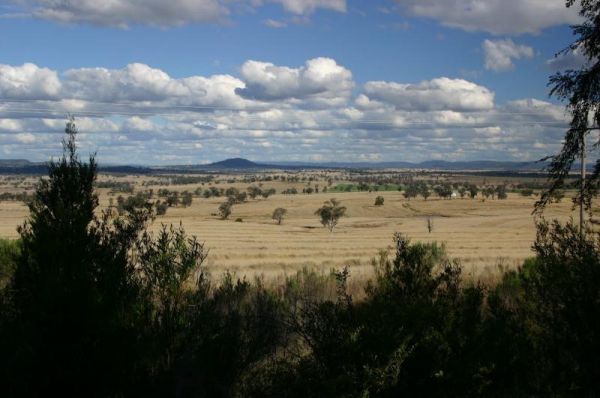
Stop for rest at the Nancy Coulton Lookout Rest Area and enjoy the elevated view of the surrounding countryside. Entrance to the Nancy Coulton Lookout Rest Area Nancy Coulton Lookout Rest Area location map
,
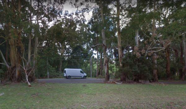
Naringal East Rest Area
Entrance to the Naringal East Rest Area Naringal East Rest Area location map
,
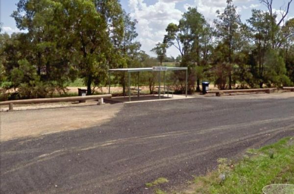
Entrance to the Narromine East Lions Park Rest Area Narromine East Lions Park Rest Area location map
, ,
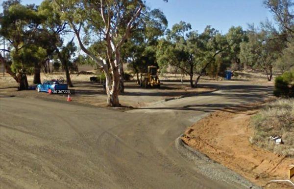
Entrance to the Native Waterhole Rest Area Native Waterhole Rest Area location map
,
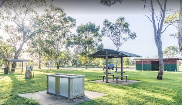
The Neil Turner Weir Rest Area is a nice safe area for your Kayak, the banks can be a bit steep, so be careful if you have young children. P.S. There is a Concrete Boat Ramp which will make it a lot easier to launch the larger rubber boats etc.
Entrance ...
Read More...
, , , , , , ,
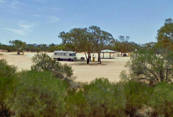
Nerren Nerren Rest Area 24 Hour Limit
Entrance to the Nerren Nerren Rest Area Nerren Nerren Rest Area location map
, , ,
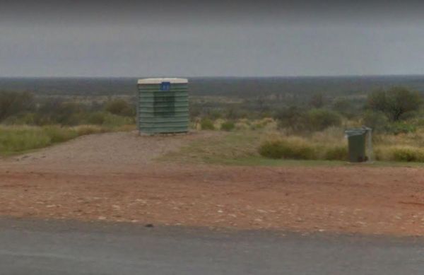
Entrance to the Netallie Rest Area Netallie Rest Area location map
,
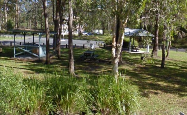
Entrance to the New Italy Rest Area New Italy Rest Area location map
,

Entrance to the Newmans Road Rest Area Northbound Newmans Road Rest Area Northbound location map
, , ,
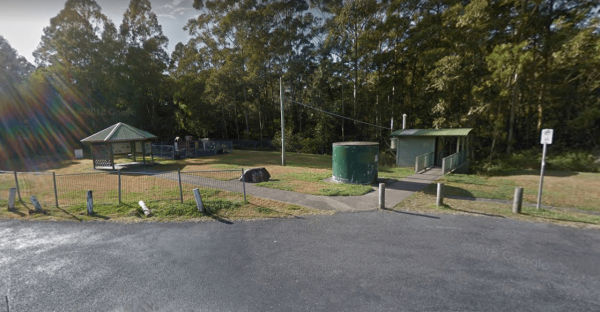
The Newmans Road Rest Area Southbound has an emergency phone is located at this spot along with a few rubbish bins. Entrance to the Newmans Road Rest Area Southbound Newmans Road Rest Area Southbound location map
, , , , ,
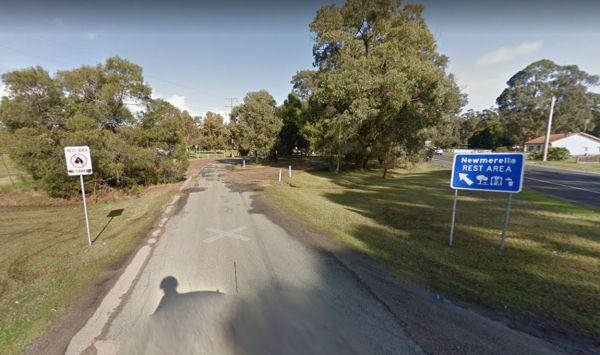
Entrance to the Newmerella Rest Area Newmerella Rest Area location map
, , , ,
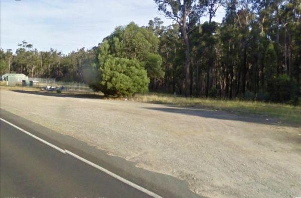
Newmerella Truck Rest Area
Entrance to the Newmerella Truck Rest Area Newmerella Truck Rest Area location map
,
Ngumban Cliff Lookout Rest Area 24 Hour Limit
Entrance to the Ngumban Cliff Lookout Rest Area Ngumban Cliff Lookout Rest Area location map
, , , ,
Entrance to the Nicholson Rest Area Nicholson Rest Area location map
, , , , , ,
Entrance to the Nillibubbica Rest Area Nillibubbica Rest Area location map
, , , ,

The Nine Mile Creek Reserve is just off the Sturt Highway with access to the Murrumbidgee River.
Note: No Camping is permitted here, but you might catch a fish if your lucky. Map Info:
Entrance to the Nine Mile Creek Rest Area
Nine Mile Creek Rest Ar ...
Read More...
, ,
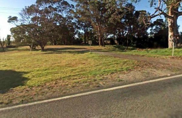
The Nine Mile Creek Rest Area is set back a short distance from the South Gippsland Highway. There are no facilities here, so not much to do apart from take a rest from driving, and stretch your legs.
Entrance to the Nine Mile Creek Rest Area
Nine Mil ...
Read More...
, ,
The Nooltana Creek Rest Area is a large gravel area slightly elevated from the Barndioota Rd. This is a truck stop with plenty of room for the campervan etc. please don't block the truckies from parking.
Entrance to the Nooltana Creek Rest Area
Noolta ...
Read More...
,
Entrance to the Noorinbee Rest Area Noorinbee Rest Area location map
, ,
The Norman Johnson Park Rest Area is just off the Woodenbong Road, and has a few things for the kids to play on, and a public toilet, and overnight stays are permitted.
Entrance to the Norman Johnson Park Rest Area
Norman Johnson Park Rest Area locati ...
Read More...
, , ,
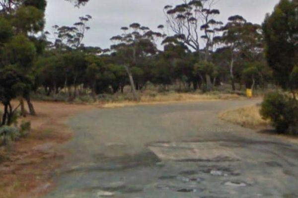
Entrance to the Norseman East Rest Area Norseman East Rest Area location map
,
North Billabong Rest Area - Permanently Closed
North Billabong Rest Area - Permanently Closed Entrance to the North Billabong Rest Area North Billabong Rest Area location map
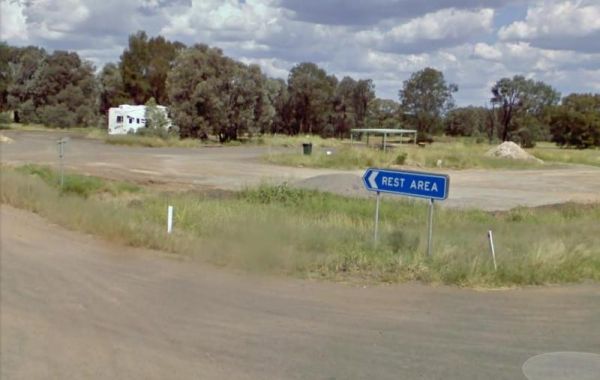
North Star Road Rest Area
The North Star Road Rest Area is a large gravel area just off the Newell Highway on the corner of I B Bore Road with lots of room to park all sized rigs. There are picnic tables and rubbish bins, a few trees for shade and a public toilet.
Entrance to the ...
Read More...
, ,
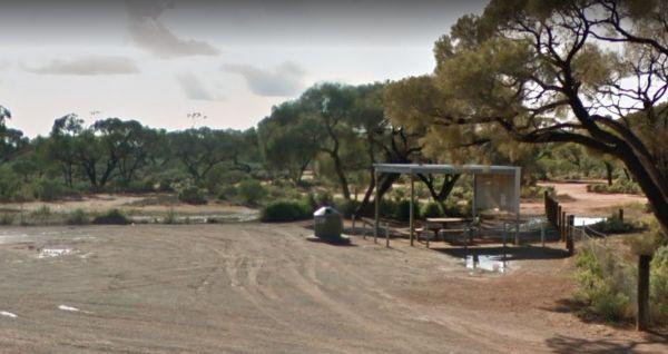
North Tent Hill Rest Area
The North Tent Hill Rest Area has an undercover picnic table and a few rubbish bins offering little shade, but has plenty of room to park all sized rigs. Entrance to the North Tent Hill Rest Area North Tent Hill Rest Area location map
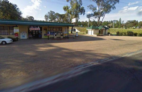
Entrance to the Nowa Nowa Rest Area Nowa Nowa Rest Area location map
, ,
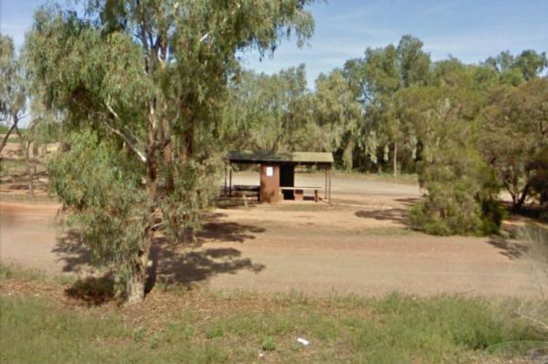
The Nugan Bend Rest Area is located on the corner of Millis Road and Kidman Way. There are some rubbish bins and undercover picnic tables plus a public toilet, and some shady spots to park your caravan.
Entrance to the Nugan Bend Rest Area
Nugan Bend ...
Read More...
,
The Nullarbor Rest Area is located on a rough gravel surface with Ocean Views. It's not too far from the Eyre Highway and worth the drive, once there you will find a fair amount of room to park your caravan, and stretch your legs.
Entrance to the Nullarb ...
Read More...
Entrance to the Nullarbor Truck Stop Rest Area Nullarbor Truck Stop Rest Area location map
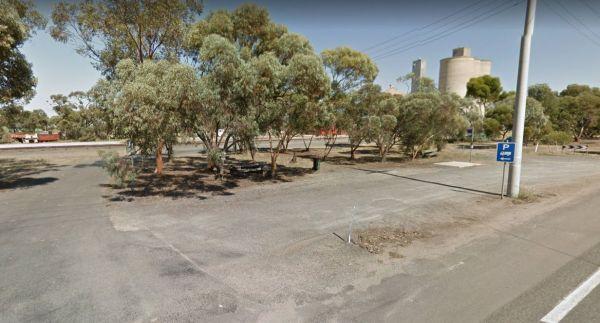
Entrance to the Nullawil Rest Area Nullawil Rest Area location map
,
The Numeralla River Rest Area has the river close at hand, so it's hard not to try some fishing and a spot of camera work, not to mention a crack at trying to get the kayak on the water.
Entrance to the Numeralla River Rest Area
Numeralla River Rest A ...
Read More...
, , , ,
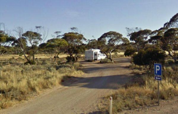
Entrance to the Nundroo East Rest Area Nundroo East Rest Area location map
Entrance to the Nungarry Rest Stop Southbound Only Nungarry Rest Stop Southbound Only location map
, , ,
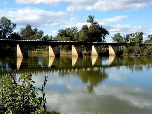
At the Nyngan Rotary Park Rest Area there is No Camping permitted at this location, it is a rest areas only. Entrance to the Nyngan Rotary Park Rest Area Nyngan Rotary Park Rest Area location map
, , , , ,
O'Briens Crossing Picnic Area
O'Briens Crossing Picnic Area location map
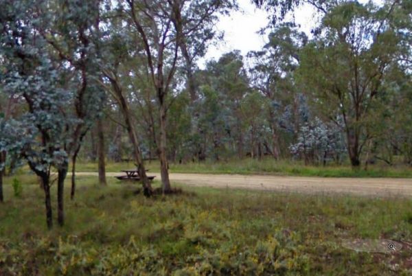
Oaky Creek Rest Area
The Oaky Creek Rest Area is just a short walk to the Oakley River, but don't expect to see a massive amount of water, but there are fish in there if your keen enough. Entrance to the Oaky Creek Rest Area Oaky Creek Rest Area location map
, ,
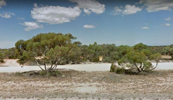
Observatory Turnoff Rest Area
Entrance to the Observatory Turnoff Rest Area Observatory Turnoff Rest Area location map
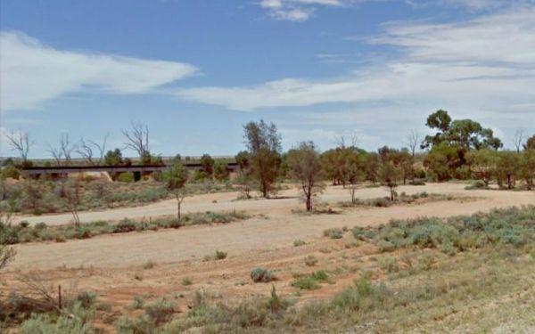
Not much to do at the Olary Creek Rest Area maybe go for a walk along the Dry Creek Bed to stretch the legs. Entrance to the Olary Creek Rest Area Olary Creek Rest Area location map
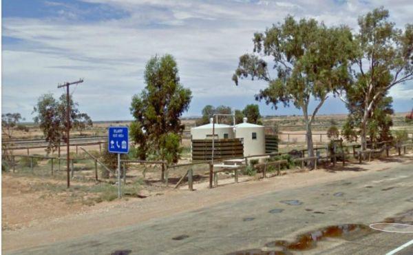
The Olary Rest Area has a pub directly across the road, so save yourself cooking a meal tonight. There is a public toilet and some rubbish bins here also. Entrance to the Olary Rest Area Olary Rest Area location map
,
Old Bonalbo Pioneers Park Rest Area 24 Hour Limit
The Old Bonalbo Pioneers Park Rest Area has room to park your caravan and is right on the banks of the Duck Creek for fishing enthusiasts. You will experience a bit of Road noise, but apart from that, it's a nice spot for an overnighter.
Entrance to the ...
Read More...
, , , , ,
Entrance to the Old Junee Recreation Reserve Old Junee Recreation Reserve location map
,
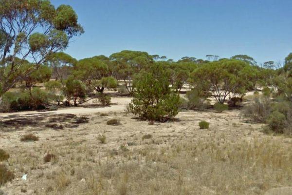
The Old Perlubie School Rest Area has some suitable level spots to pop the caravan on and is set back from the Eyre Highway with low scrub surrounding this place.
Entrance to the Old Perlubie School Rest Area
Old Perlubie School Rest Area location map ...
Read More...
Entrance to the Olwolgin Bluff Rest Area Olwolgin Bluff Rest Area location map
Entrance to the Onslow Turnoff Rest Area Onslow Turnoff Rest Area location map
Entrance to the Oodla Wirra South Rest Area Oodla Wirra South Rest Area location map
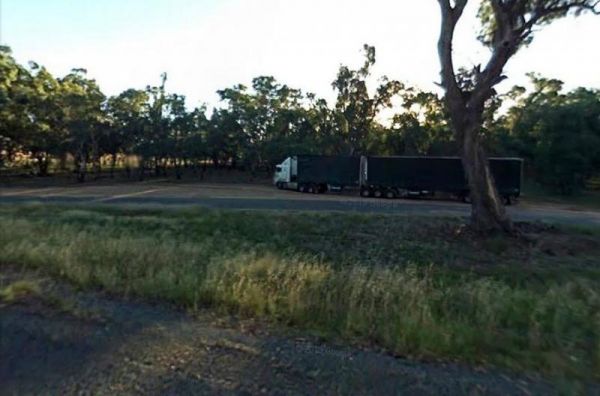
Entrance to the Ooma Creek Rest Area Ooma Creek Rest Area location map
, , ,
Oorindi Rest Area
The Oorindi Rest Area has undercover picnic tables, public toilets with wheelchair access. This a place to pull over if its getting late, as your next rest area is approximately 70 kilometres in either direction.
Entrance to the Oorindi Rest Area
Oori ...
Read More...
,
The Orroroo Rest Area runs is another large area to pull over that will take all vans and campervans easily. Entrance to the Orroroo Rest Area Orroroo Rest Area location map
,
The Oura Beach Reserve is a huge area so you should always find a nice grassy site with access to the Murrumbidgee River on your doorstep, drop a line in or try out your Kayak and remember to take your camera.
Entrance to the Oura Beach Reserve
Oura B ...
Read More...
, , , , ,
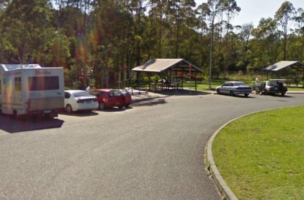
Entrance to the Ourimbah Exit Rest Area Ourimbah Exit Rest Area location map
, , ,
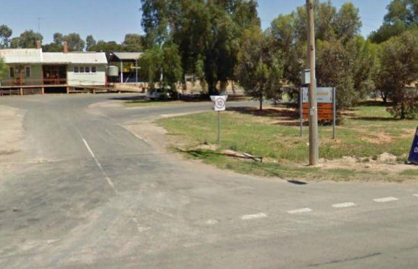
Entrance to the Ouyen Park Ouyen Park location map
,
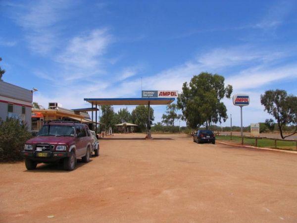
Overlander Rest Area
Entrance to the Overlander Rest Area Overlander Rest Area location map
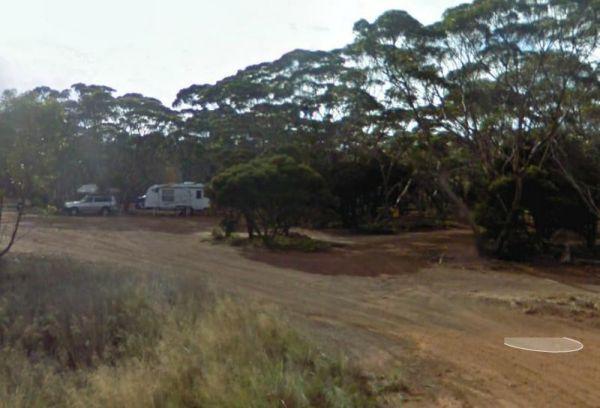
Overshot Hill Nature Reserve 24 Hour Limit - PERMANENTL...
Entrance to the Overshot Hill Nature Reserve Overshot Hill Nature Reserve location map
, , ,
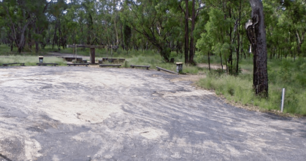
Oxley's Crossing Rest Area
The Ourimbah Exit Rest Area is a popular spot, there is a public toilet, water taps, plus quite a few undercover picnic tables, and rubbish bins. Parking can be a bit tricky with caravans on public holidays, but you can drive through if you don't find a s ...
Read More...
, ,
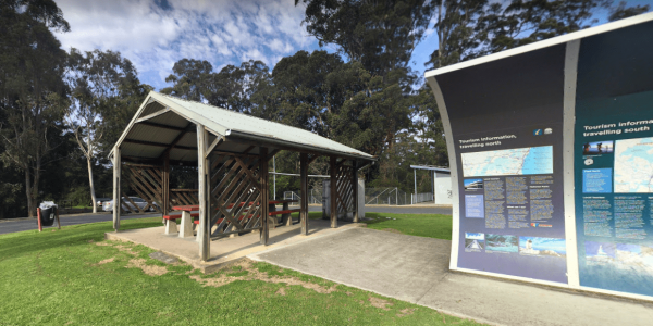
Paddy's Rest Area
Entrance to the Paddy's Rest Area Paddy's Rest Area location map
, ,
Paddys River Rest Area
You can catch some trout at the Paddys River Rest Area, it's a nice place to spend a few minutes, or for an overnight stop if needed. There is a children's playground, and bbqs here.
Entrance to the Paddys River Rest Area
Paddys River Rest Area locati ...
Read More...
, , , ,
The Padthaway North Rest Area has some low trees for shade, and undercover picnic tables, plus some rubbish bins set on a gravel road that runs parallel to the Riddoch Highway, so you will hear passing traffic.
Entrance to the Padthaway North Rest Area ...
Read More...
,
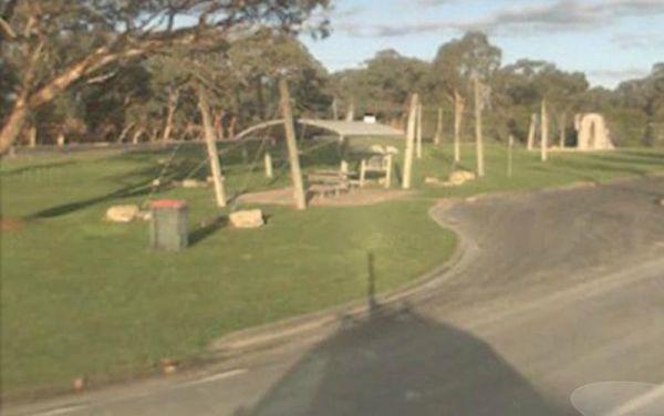
The Padthaway Park Rest Area is quite a long Apex Park with plenty of places to pull over for a rest. There is a public toilet, some rubbish bins, and a children's playground.
Entrance to the Padthaway Park Rest Area
Padthaway Park Rest Area location ...
Read More...
, , , ,
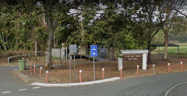
Entrance to the Palm Beach Creek Rest Area Palm Beach Creek Rest Area location map
, ,
Palm Springs Rest Area
Palm Springs Rest Area location map
, ,
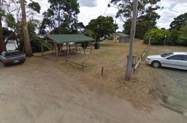
Paper Beach Reserve Rest Area 12 Hour Limit
At the Paper Beach Reserve Rest Area you can make a call from the phone box, pop over to the water, turn right, and take a walk along the water's edge to the point, and take your camera with you.
Entrance to the Paper Beach Reserve Rest Area
Paper Bea ...
Read More...
, , , ,
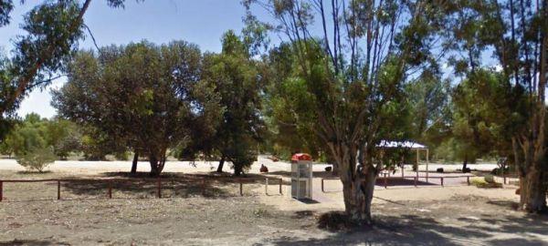
The Parilla Rest Area is in the Parilla township, undercover picnic tables, a few rubbish bins,and public toilets, the Parilla Hotel is directly opposite this rest area. Entrance to the Parilla Rest Area Parilla Rest Area location map
, ,
The Parrakie Rest Area is a designated truck rest area, so plenty of room for all sized rigs. Entrance to the Parrakie Rest Area Parrakie Rest Area location map
,
Peake Creek Siding Rest Area
Peake Creek Siding Rest Area location map
The Peake Rest Area is OK to take a break from driving and walk over to the Silos and take a photo, this rest area has rubbish bins provided. Entrance to the Peake Rest Area Peake Rest Area location map
,
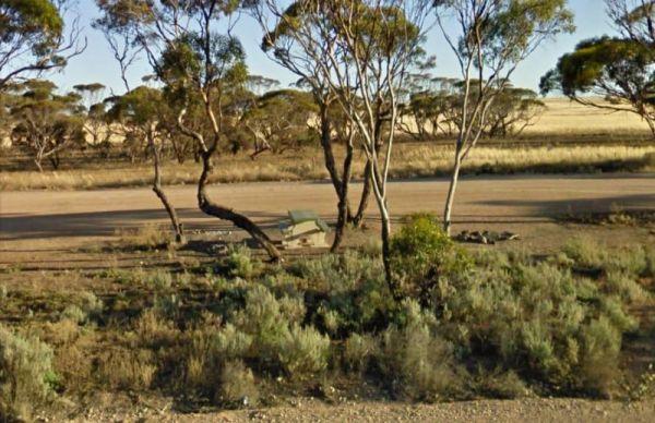
Entrance to the Penong East Rest Area Penong East Rest Area location map
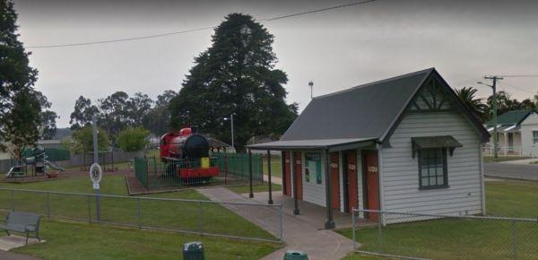
Visiting the Perth Lions Park Rest Area might be a bit of a tight squeeze if you have a big rig and try to park in Little Mulgrave Street, as the end of the street is a court, and you might have trouble turning.
Entrance to the Perth Lions Park Rest Area ...
Read More...
, , , , ,
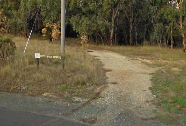
Entrance to the Perts River Reserve Perts River Reserve location map
, , ,
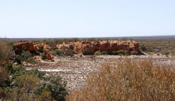
Entrance to the Peter Denny Lookout Peter Denny Lookout location map
, ,
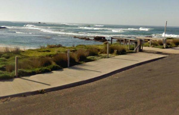
Peterborough Park Rest Area
Entrance to the Peterborough Park Rest Area Peterborough Park Rest Area location map
, , , ,
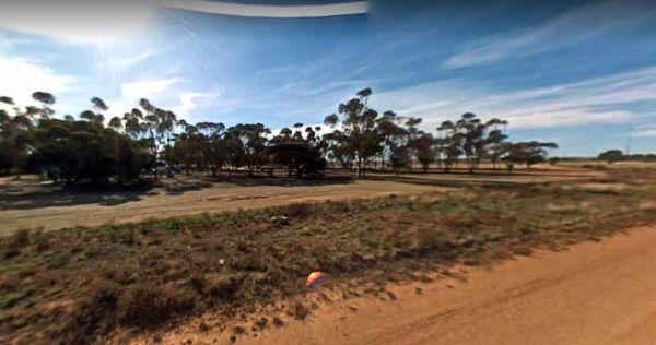
Peterborough Rest Area
The Peterborough Rest Area is set just back from the main road and set amongst some gum trees for shelter, with plenty of room for all sized caravans. Entrance to the Peterborough Rest Area Peterborough Rest Area location map
,
Peters Bridge Rest Area
The Peters Bridge Rest Area is a large grassy area next to the Mitta Mitta River. This is a nice rest spot to try your kayak out, and maybe a bit of fishing also. Entrance to the Peters Bridge Rest Area Peters Bridge Rest Area location map
, ,
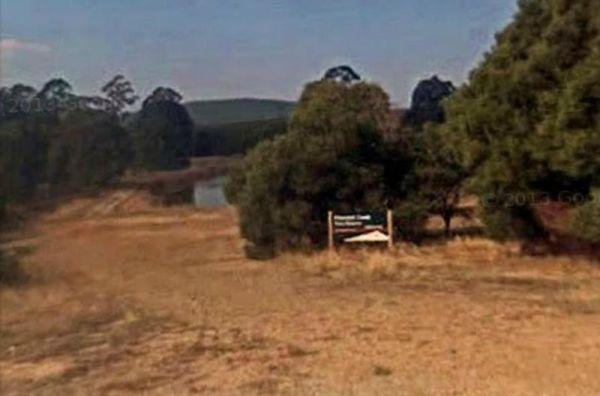
Entrance to the Pheasant Creek Flora Reserve Pheasant Creek Flora Reserve location map
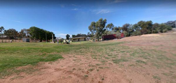
Entrance to the Piangil Memorial Park Rest Area Piangil Memorial Park Rest Area location map
, ,
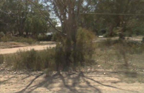
Entrance to the Piangil North Rest Area Piangil North Rest Area location map
, , ,
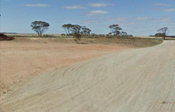
The Piangil West Rest Area is set well back from the Mallee Highway, and is a truck stop, so expect some company if you pop in here. Entrance to the Piangil West Rest Area Piangil West Rest Area location map
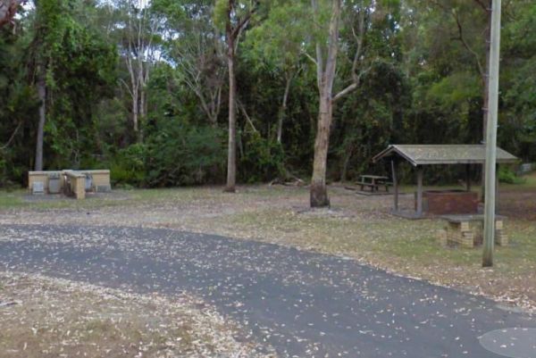
Pilgrim Memorial Park Rest Area
The Pilgrim Memorial Park Rest Area is just outside Brunswick on Tweed Street, there is room to park your caravan, a public toilet, some picnic tables and rubbish bins, and a wood fired bbq. With the Simpsons Creek on the other side of Tweed Street, grab ...
Read More...
, , , , , ,
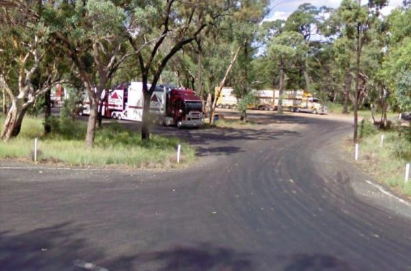
Pilliga Rest Area
Entrance to the Pilliga Rest Area Pilliga Rest Area location map
Entrance to the Pinasters Picnic Rest Area Pinasters Picnic Rest Area location map
, ,
The Pindari Dam Camping Area is utopia if you enjoy fishing and camping and has a boat ramp available if needed. There is plenty of shoreline fishing spots available, great place for a kayak and camera , undercover picnic tables, public long drop toilets, ...
Read More...
, , , , ,
Pioneer Bridges Rest Area Location Map
, , ,
Pirron Yallock West Rest Area
Entrance to the Pirron Yallock West Rest Area Pirron Yallock West Rest Area Location Map
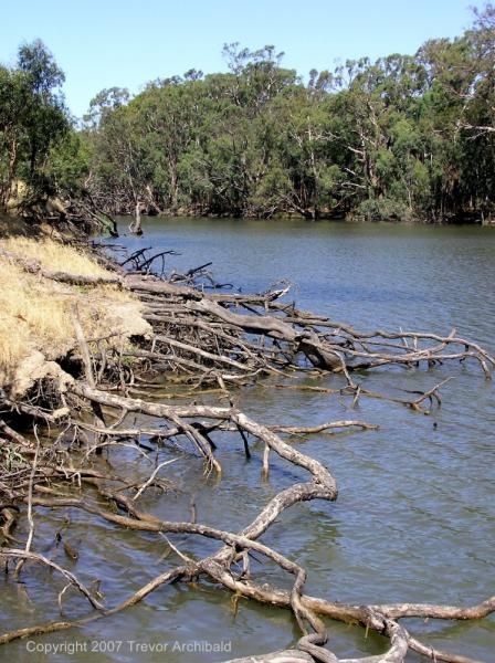
Entrance to the Pocock Park Rest Area Pocock Park Rest Area location amp
, , , , , ,
Police Heritage Monument Rest Area
The Police Heritage Monument Rest Area is on a gravel surface and is reasonably level, with the Sturt Highway so close, you will hear all the passing traffic..
Entrance to the Police Heritage Monument Rest Area
Police Heritage Monument Rest Area locat ...
Read More...
,
The Polkdinney Park Kyancutta Rest Area has a fair amount level gravel surface to park on, with small trees for shade. It's located on the corner of Elliston Stock Route and Railway Terrace with some rubbish bins also onsite. You can easily walk to the Ky ...
Read More...
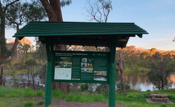
Polly McQuinn Reserve
Polly McQuinn Reserve Location Map
,
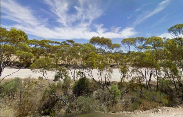
The Poochera Rest Area has a few rubbish bins and plenty of parking space. Entrance to the Poochera Rest Area Poochera Rest Area location map
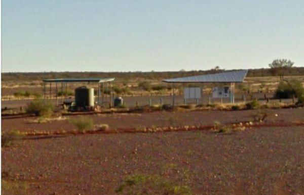
Pootnoura Rest Area
The Pootnoura Rest Area has an amazing view... oooopps maybe the heat is getting to me, there's not much to do here but take a break from driving, and maybe hallucinate a bit from the heat and read the information board. This site is set back from the mai ...
Read More...
,
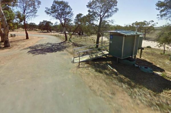
The Popiltah Rest Area is a great spot for overnight stop in the middle of nowhere, there is a little road noise but quietens down at night. There is a bit of a change with tall trees giving shade, and nice picnic facilities available overlooking the Popi ...
Read More...
,
Port Albert Rest Area 24 Hour Limit
Entrance to the Port Albert Rest Area Port Albert Rest Area location map
, , , ,
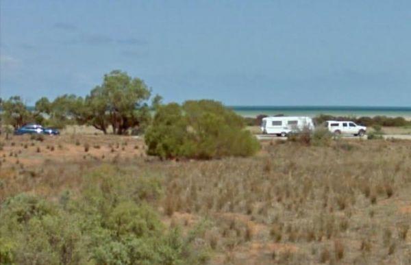
Port Germein South Rest Area
The Port Germein South Rest Area is poorly signposted very easy to miss. Use the supplied GPS coordinate to find this location easily. If your up to it, the Beach is not too far away. approx 600 metres.
Entrance to the Port Germein South Rest Area
Por ...
Read More...
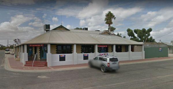
Port Kenny Park Rest Area
The Pub is not too far away from the Port Kenny Park Rest Area, just a nice stroll to grab a bite to eat from. If you are a really Keen Fisher person, then you might like to take a VERY LONG Walk down the local Jetty and try your luck.
Entrance to the Po ...
Read More...
, ,
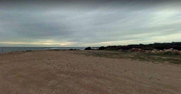
At the Port Minlacowie Boat Ramp you can open your door and look out at the Spencer Gulf, Please keep well clear of the boat ramp area. Entrance to the Port Minlacowie Boat Ramp Port Minlacowie Boat Ramp location map
, ,
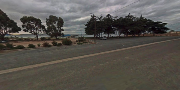
Pop over to the pub from the Port Neill Park Area, it's on the other side of the road or go for a stroll along the beach or go for a walk along the Jetty. Entrance to the Port Neill Park Rest Area Port Neill Park Rest Area location map
, , ,
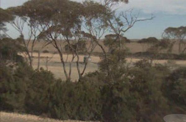
Port Neill South Rest Area, I know which spot I'd spend a night at for the sake of five minutes extra driving if your up to it there is a great beach front rest area a few K's away along Coast Rd. GPS -34.19776,136.298891
Entrance to the Port Neil South ...
Read More...
,
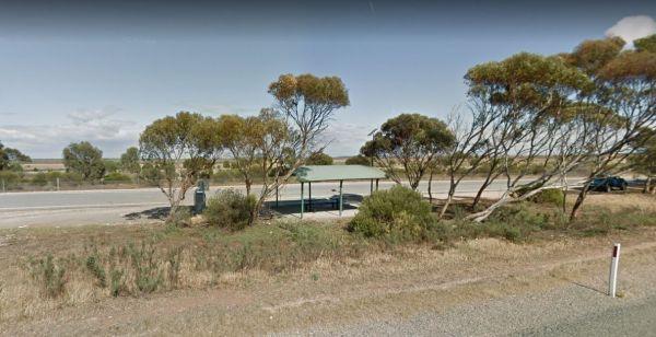
Entrance to the Port Wakefield South Rest Area Port Wakefield South Rest Area location map
,
The Porters Creek Picnic Area is located on the corner of Porters Creek Road and Hut Road. This spot is on the banks of the Murray River, with a few picnic tables and shady trees to park under. Remember to take everything you need with you, and take your ...
Read More...
, , , ,
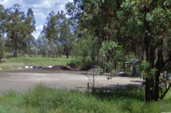
The Pothana Lane Rest Area is near the corner of Belford Street and Porthana Lane. There is plenty of room to turn around even the largest rigs. A public toilet, an undercover picnic table and rubbish bin and an emergency supply of tank water is what awai ...
Read More...
, , ,
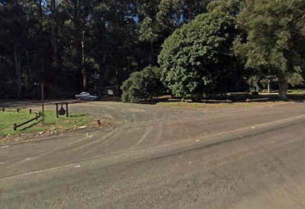
Powelltown Rest Area
Entrance to the Powelltown Rest Area Powelltown Rest Area location map
, , , ,
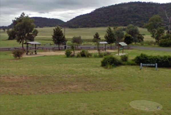
The Private Jackson Park Gungal Rest Area is set back approximately 70 metres from Maitland Street, with a public toilet, some undercover picnic tables and rubbish bins. There is quite a bit of space to park your caravan and enjoy a break from driving.
E ...
Read More...
, , , ,
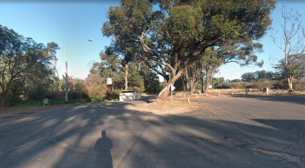
Entrance to the Providence Ponds Rest Area Providence Ponds Rest Area location map
,
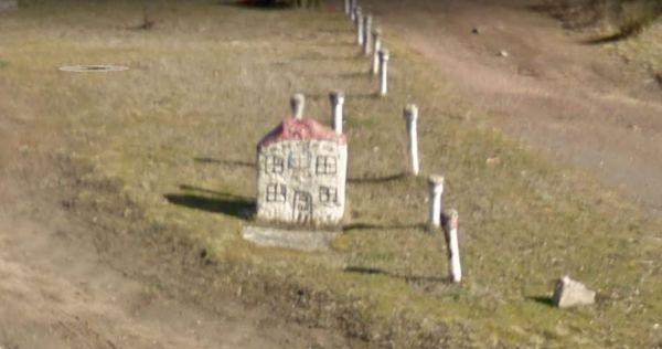
The Pub with No Beer Rest Area, Stop if you need a rest from driving, otherwise keep going to the nest spot to say overnight. This place got its name from a stone painted in the form of a Pub, hence the name for this rest spot.
Entrance to the Pub with N ...
Read More...
,
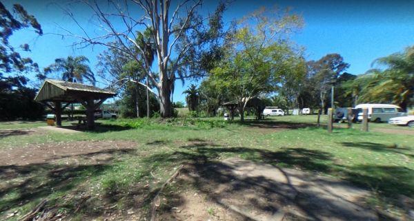
The Puma Kybong Rest Area has a public toilet and a paid shower facility, some undercover picnic tables with rubbish bins. The rest area is reasonably level and is located just behind the petrol station. You can walk along a path back to the servo shop, a ...
Read More...
, , ,
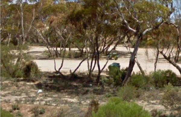
Entrance to the Puntabie East Rest Area Puntabie East Rest Area location map
,
Entrance to the Quaama Rest Area Quaama Rest Area location map
, , , ,
The Ramornie Rest Area can be a bit of a tight squeeze for big rigs if few are parked here. Entrance to the Ramornie Rest Area Ramornie Rest Area location map
, ,
Ranges View Rest Area
Entrance to the Ranges View Rest Area Ranges View Rest Area location map
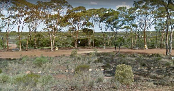
Ravensthorpe East Rest Area
Entrance to the Ravensthorpe East Rest Area Ravensthorpe East Rest Area location map
,
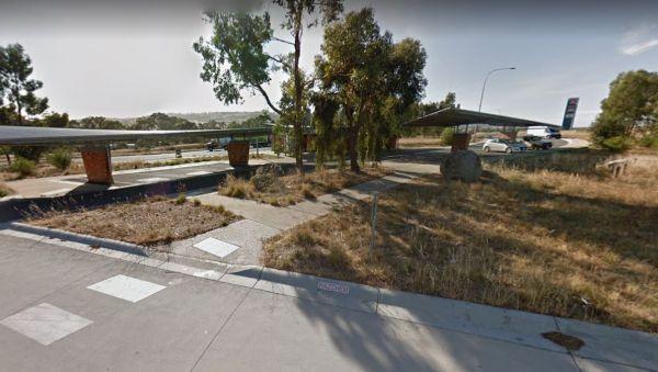
Ravenswood Rest Area - Northbound Truck Stop
Entrance to the Ravenswood Rest Area - Northbound Truck Stop Ravenswood Rest Area - Northbound Truck Stop location map
, ,
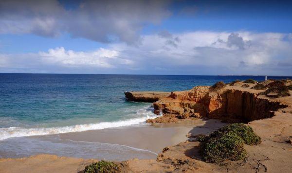
Turn off Lincoln Highway onto an unnamed dirt road to get to the Red Banks Rest Area, and follow for about 1 kilometre to camping area. There are spots for approx 6 caravans. Entrance to the Redbanks Rest Area Red Banks Rest Area location map
,
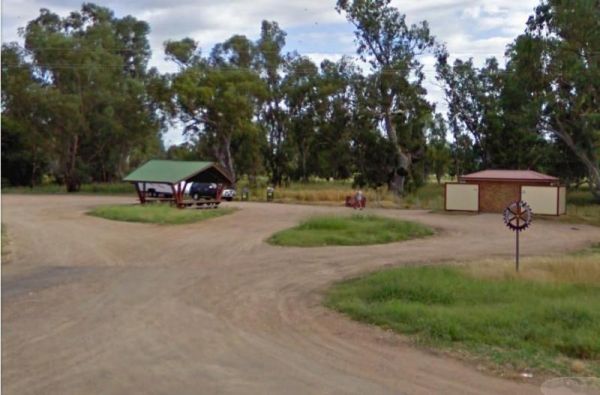
Entrance to the RedBank Rest Area RedBank Rest Area location map
, , , , , ,
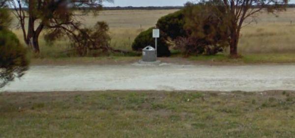
Reedy Creek South Rest Area
The Reedy Creek South Rest Area is like a little oasis in the middle of nowhere, with fairly level parking areas to choose from. Entrance to the Reedy Creek South Rest Area Reedy Creek South Rest Area location map
,
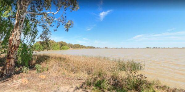
Reedy Lake Apex Park Rest Area
Entrance to the Reedy Lake Apex Park Rest Area Reedy Lake Apex Park Rest Area location map
, ,
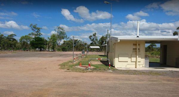
Reid River Rest Area
The Reid River Rest Area is not a bad spot to have a rest from driving, but not a lot to do or see at this location as the river is mostly dry and flows in the wet season. Entrance to the Reid River Rest Area Reid River Rest Area location map
, , , ,
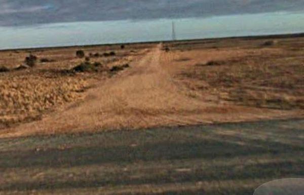
Entrance to the Repeater Station Rest Area Repeater Station Rest Area location map
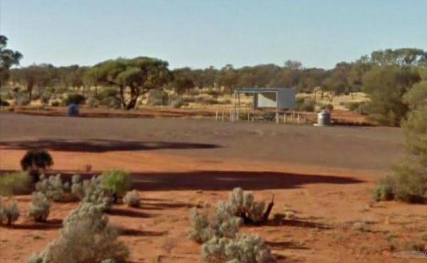
The Rest Area Stuart Highway South Bound in the middle of nowhere. There is an undercover picnic table and a few rubbish bins all set back a sort distance from the Stuart Highway. This is a large level rest area with a few rough tracks leading further awa ...
Read More...
Entrance to the Rest Stop - Northern Territory - Queensland Border (Barkly Highway) Rest Stop - Northern Territory - Queensland Border (Barkly Highway) location map
From the Richmond Rest Area you can walk over to the lake and pop a line in and see what bites, take a quick paddle around the lake for some exercise, or simple take a walk and stretch your legs for a bit.
Entrance to the Richmond Rest Area
Richmond R ...
Read More...
, , , ,
Ricky Bates Reserve
No Camping permitted at the Ricky Bates Reserve NOTE: There are a few low cost camp sites available not far away, my Dutton bay woolshed, Farm beach. Shelly beach. So you can camp legally, and enjoy what the local area has to offer.
Entrance to the Ricky ...
Read More...
,
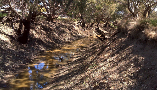
Entrance to the Ripley Reserve Rest Area Ripley Reserve Rest Area Location Map
,
Entrance to the Riverton South Rest Area Riverton South Rest Area location map
Rix's Creek Rest Area
The Rix's Creek Rest Area is a small gravel are next to the New England Highway, there is room to turn around and an undercover picnic table, flushing public toilets and not much else here.
Entrance to the Rix's Creek Rest Area
Rix's Creek Rest Area l ...
Read More...
,
Entrance to the Robe River Rest Area Robe River Rest Area location map
, , , , ,
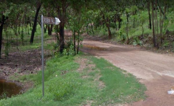
Robin Falls Rest Area
The Robin Falls Rest Area has a natural spring however the little creek does get a little low at the end of the year, and is a nice place for a swim on a hot day, or use your fishing rod to try and catch dinner. (The Robin Falls are approx 1 kilometre fro ...
Read More...
Rochester North Rest Area
Entrance to the Rochester North Rest Area Rochester North Rest Area location map
, , ,
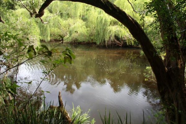
Rocks Crossing Reserve
The Rocks Crossing Reserve is a small spot just off the Nowendoc Road, there are picnic tables and rubbish bins here, plus the Nowendoc River runs behind the reserve, so it might be worth a look. To get to the water, you need to walk down two flights of s ...
Read More...
, , ,
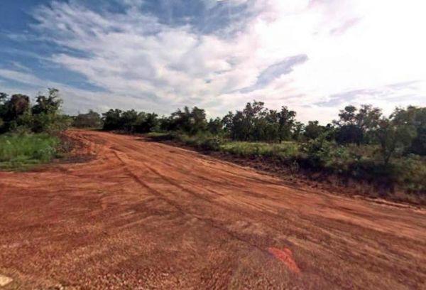
Entrance to the Roebuck Plains Rest Area Roebuck Plains Rest Area location map
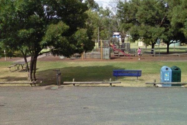
Rose Bay Park Rest Area 12 Hour Limit
The Rose Bay Park Rest Area is a lovely park with shady trees and good playground for kids, plus a skate ramp and Basketball hoops. There is also a public toilet, some undercover picnic tables, rubbish bins and free electric BBQ's . You can easliy walk ov ...
Read More...
, , , , , , , ,
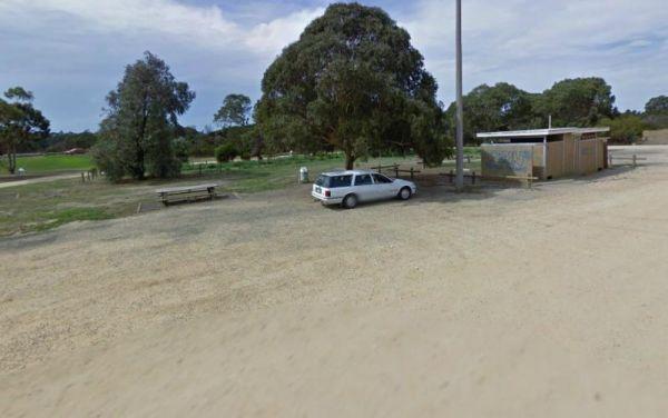
Entrance to the Rosedale Vicroads Wayside Stop Rosedale Vicroads Wayside Stop location map
, , ,
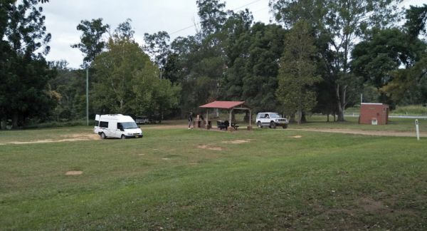
The Roses Park Rest Area is a lovely place to let a few hours drift away, drop the kayak and do a quick explore or a bit of river fishing in time for dinner. Entrance to the Roses Park Rest Area Roses Park Rest Area location map
, , , , ,
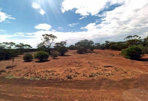
Entrance to the Ross Road Rest Area Ross Road Rest Area location map
Round Hill Rest Area
The Round Hill Rest Area has parking on either side of the Barrier Hwy, toilet and covered tables are on the southbound side only. Entrance to the Round Hill Rest Area Round Hill Rest Area location map
, ,
Entrance to the Roy Hill Rest Area Roy Hill Rest Area location map
The Royal Hotel Mount Hope Rest Area has Take away food, pub meals and cold drinks are just across the road from your camp. Entrance to the Royal Hotel Mount Hope Rest Area Royal Hotel Mount Hope Rest Area location map
,
Rudds Point Reserve Camping Area
Rudds Point Reserve Camping Area has some picnic tables, and fireplaces and plenty of places to park your caravan close to the Murrumbidgee River. The turn off can be easily missed, so use your GPS and you’ll be OK finding this place.
Entrance to the Rud ...
Read More...
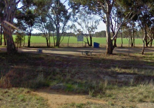
Rutherglen East Rest Area
Entrance to the Rutherglen East Rest Area Rutherglen East Rest Area location map
,
Entrance to the Ryan Creek Rest Area Ryan Creek Rest Area location map
, ,
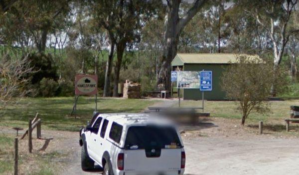
Saddleworth Rest Area
The Saddleworth Rest Area backs onto the Gilbert River, this gravel area is reasonably flat to park your caravan on. There are some fireplaces, picnic tables and rubbish bins here.
Entrance to the Saddleworth Rest Area
Saddleworth Rest Area location m ...
Read More...
Saddleworth Rest Area 2
The Saddleworth Rest Area 2 has a few low trees offering some shade, and a rubbish bin on a gravel surface just off the Barrier Highway. Entrance to the Saddleworth Rest Area 2 Saddleworth Rest Area 2 location map
Entrance to the Sandbanks Reserve Sandbanks Reserve location map
The Sandigo Rest Area Truck Stop is a strip of asphalt a short distance from the Sturt Highway. This is a truck parking area, so please make sure you allow room for them. There is plenty of room to park here, plus an undercover picnic table and rubbish bi ...
Read More...
,
Entrance to the Sandleton Fruit Fly Rest Area Sandleton Fruit Fly Rest Area location map
,
The Sandside Rest Area is an overnight camp at roadside truck stop. There are composting toilet facilities with wheelchair access, undercover picnic tables and plenty of room for large caravans and motorhomes. The rest area is bit noisy from passing traff ...
Read More...
, ,
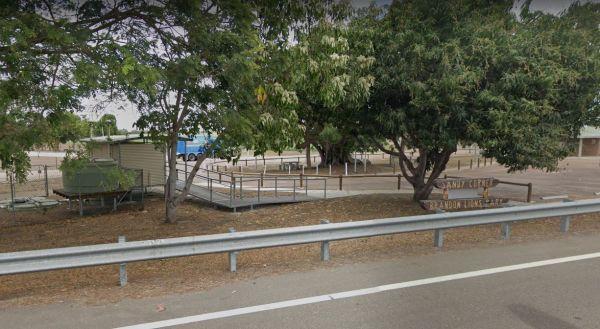
Entrance to the Sandy Corner Rest Area Sandy Corner Rest Area location map
, ,
Sandy Creek Rest Area
Entrance to the Sandy Creek Rest Area Sandy Creek Rest Area location map
, , ,
The Apex Park is on the Opposite side of the road. which also has parking but its a bit harder for caravans to get in and out of. This is a nice site on the banks of Pine Creek.
Entrance to the Sarina Apex Park Rest Area
Sarina Apex Park Rest Area loc ...
Read More...
, , , ,
Entrance to the Sarsfield Rest Area Sarsfield Rest Area location map
, , ,
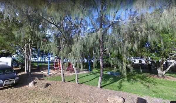
Saunders Beach Park Rest Area 48 Hour Limit
When stopping at the Saunders Beach Park Rest Area bear in mind the maximum number of stays at any of these sites is 48 hours once per week. Council officers routinely visit camping areas to check on how long people have stayed. If it is found that camper ...
Read More...
, , , , ,
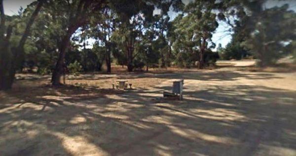
Entrance to the Scarsdale Rest Area Scarsdale Rest Area location map
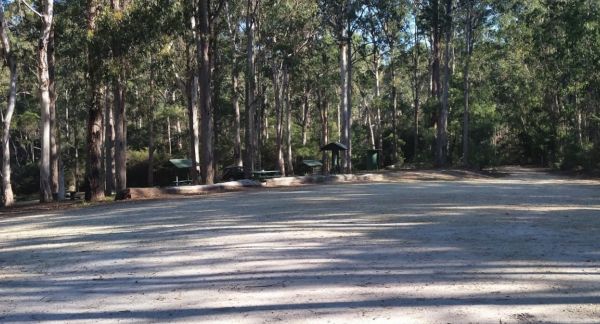
Scrubby Creek Rest Area
Scrubby Creek Rest Area is a fantastic place to stop, clean and quiet, fireplace rotating bbq facilities, picnic tables, a large dumpmaster bin, with room to park your caravan. You are close to the highway, so expect some noise during the day, but it's be ...
Read More...
, ,
Entrance to the Sea Lake North Rest Area Sea Lake North Rest Area location map
,
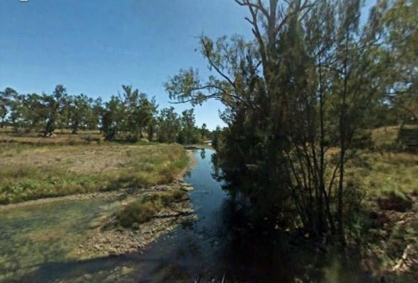
The Severn River Rest Area Site has been upgraded since and I don't have a current photo, so Old photos used. The Severn River is within easy walking distance for those interested in fishing, photography and of cause the kayak.
Entrance to the Severn Riv ...
Read More...
, , ,
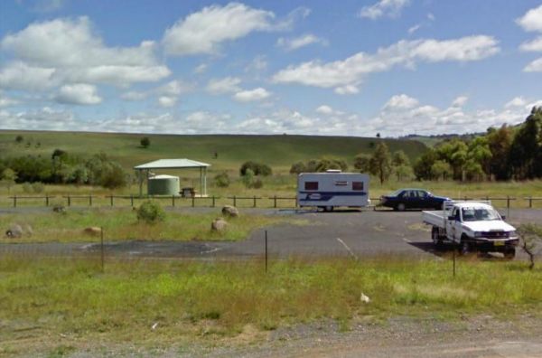
The Shadforth Reserve Rest Area offers no shade and is located at the corner of Millthorpe Road and Mitchell Highway. Lots of room to park your caravan while you take advantage of the public toilet, picnic tables and rubbish bins.
Entrance to the Shadfor ...
Read More...
, , ,
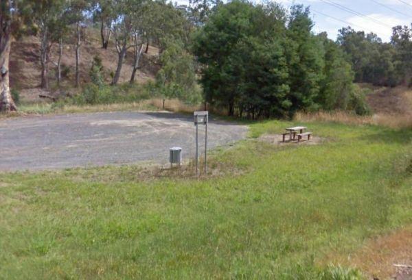
Sheepwash Lagoon Rest Area
Entrance to the Sheepwash Lagoon Rest Area Sheepwash Lagoon Rest Area location map
,
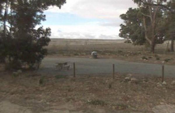
Entrance to the Sheringa Rest Area Sheringa Rest Area location map
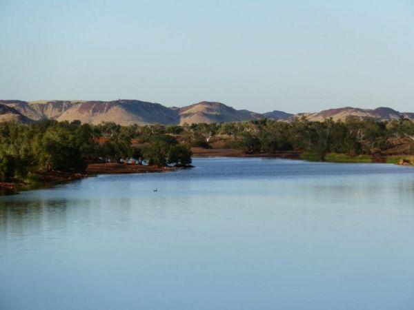
Entrance to the Sherlock River Rest Area Sherlock River Rest Area location map
, , ,
Entrance to the Sherwoods Dam Rest Area Sherwoods Dam Rest Area location map
The Shoalhaven River Crossing, is a nice place to take a swim and gold pan. There are no facilities, or camping amenities, but it's a great stretch your legs and maybe catch a fish for dinner, or some gold in your pan after a day of fossicking.
Entrance ...
Read More...
Entrance to the Silver Gum Reserve Rest Area https://goo.gl/maps/UKdLSLkMD1YM5Yae8 Silver Gum Reserve Rest Area location map
Sir William Bridges Rest Area
Sir William Bridges Rest Area has a good parking area and shade to park your caravan, undercover picnic tables and some rubbish bins. Entrance to the Sir William Bridges Rest Area Sir William Bridges Rest Area location map
The Six Mile Creek Rest Area has picnic tables, public toilets and dump point plus rubbish bins here, very noisy as right on highway, and a few local drunks who seem to congregate here. Note: a Maximum stay of 20 hours, fines apply if you exceed it.
Entr ...
Read More...
, , , , ,
Sixteen Mile Gums Rest Area
The Sixteen Mile Gums Rest Area has No Shade, No Creature Comforts, unless you use the rubbish bin, and nothing as far as the eye can see, apart from that, it's a place to take a rest at.
Entrance to the Sixteen Mile Gums Rest Area
Sixteen Mile Gums R ...
Read More...
Skinners Flat Rest Area
Skinners Flat Rest Area 360 Skinners Flat Rest Area location map
, ,
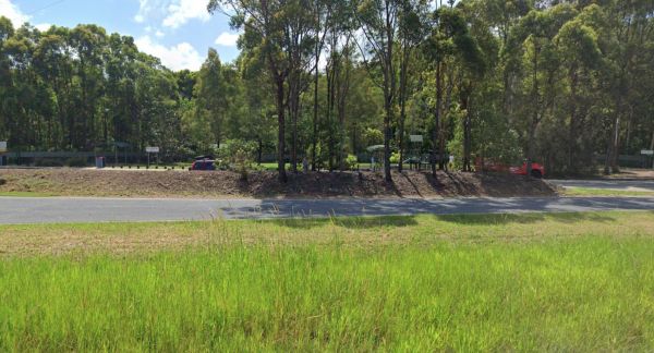
Sleepy Hollow Rest Area (northbound)
Sleepy Hollow Rest Area (northbound) has seperate areas to park trucks and cars with plenty of space to park your caravan. Public toilets with water tap on side of building, undercover picnic tables and rubbish bins.
Entrance to the Sleepy Hollow Rest Ar ...
Read More...
, , , ,
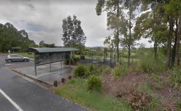
Sleepy Hollow Rest Area (southbound)
Sleepy Hollow Rest Area (southbound) is a nice little shaded rest spot maybe 15 to 20 minutes south of Queensland border, with separate areas for trucks and cars to park. There is ample room for your caravan, a playground for the kids, public toilets with ...
Read More...
, , ,
Entrance to the Snowtown North Rest Area Snowtown North Rest Area location map
The Snowy Range Rest Area located on a gravel surface near the corner of Waterfall Way and Guyra Road. There is an undercover picnic table and rubbish bins, and room to park your caravan or motorhome, its a spot to have a lunch break, and rest a few minut ...
Read More...
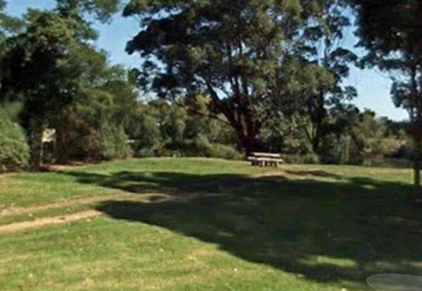
Entrance to the Snowy River Rest Area No 1 Snowy River Rest Area No 1 location map
, , ,
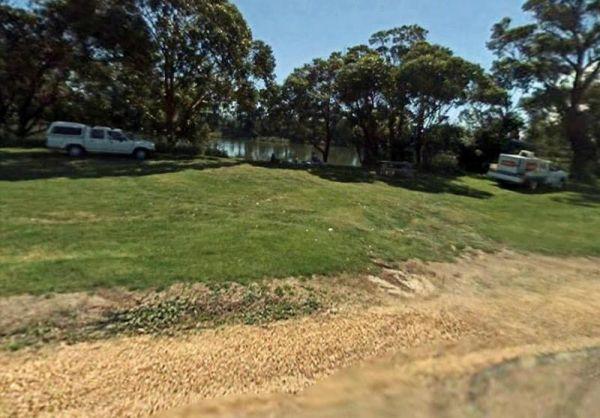
Entrance to the Snowy River Rest Area No 2 Snowy River Rest Area No 2 location map
, , ,
At the Somerset Memorial Park let the kids go wild on the playgrounds, or you can take a short stroll down along the beach, the choice is yours. Entrance to the Somerset Memorial Park Somerset Memorial Park location map
, , , ,
Entrance to the South Australia - Northern Territory Border Rest Area South Australia - Northern Territory Border Rest Area location map
, , ,
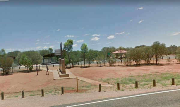
Entrance to the South Australia - Northern Territory Rest Area Location Map of the South Australia - Northern Territory Rest Area
, , ,
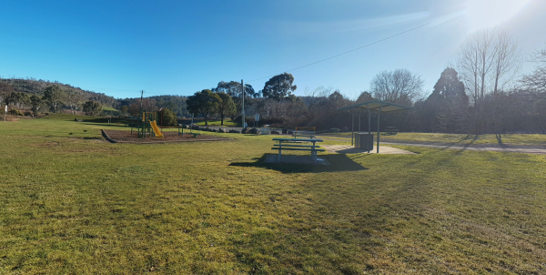
The South Esk Lions Park Rest Area is set on the Banks of the South Esk River, a nice spot for a picnic, you could try your hand at fishing, drop your kayak in, or use the boat ramp if you prefer.
Entrance to the South Esk Lions Park Rest Area
South E ...
Read More...
, , , , ,
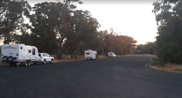
South Tomingley Rest Area is a large asphalted area, with some trees for shade, trucks pull in here also. There are public toilets, picnic tables and a few rubbish bins. Entrance to the South Tomingly Rest Area South Tomingly Rest Area location map
, ,
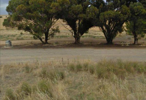
The Spalding Junction Rest Area is on a reasonably level gravel surface . for parking your caravan. There is a picnic table, rubbish bins and some shade just off the Barrier Highway.
Entrance to the Spalding Junction Rest Area
Spalding Junction Rest A ...
Read More...
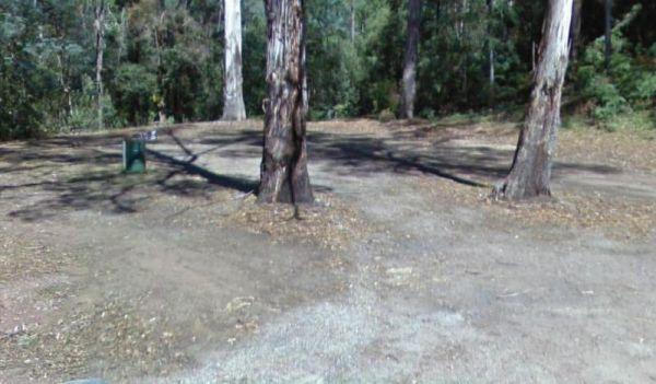
Spellmans Reserve
The Spellmans Reserve is a small area next to a stony Wilmot River with a few deep holes, with the possibility of a trout or two lurking in them. Entrance to the Spellmans Reserve Spellmans Reserve location map
, ,
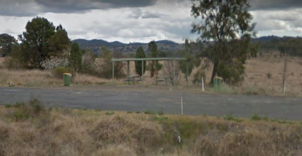
Entrance to the Spire View Rest Area Spire View Rest Area location map
Entrance to the Spring Creek Rest Area Spring Creek Rest Area location map
, , , , , ,
Spring Hill Rest Area
At the Spring Hill Rest Area you will find an undercover children’s playground, Undercover picnic tables, public toilet, tank water and rubbish bins. There is a normally dry creek-bed to explore, overall it's a nice spot to take a rest and refresh yoursel ...
Read More...
, , , , , ,
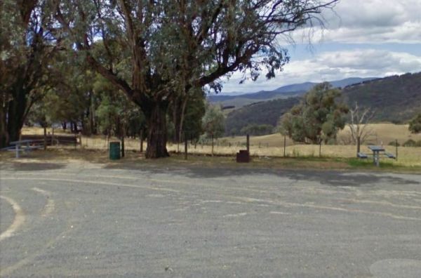
The Springfield Rest Area is right on the doorstep of Springfield Orchard so you can stock up on some fresh fruit from the shop. Entrance to the Springfield Rest Area Springfield Rest Area location map
, , ,
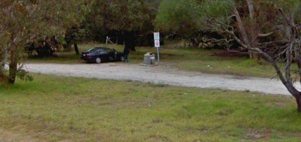
The Springs Road Rest Area has a bit of shade, and a bit of reasonably level area to pop the van on. You'll find a picnic table, rubbish bin, and a bit of shade here. Entrance to the Springs Road Rest Area Springs Road Rest Area location amp
,
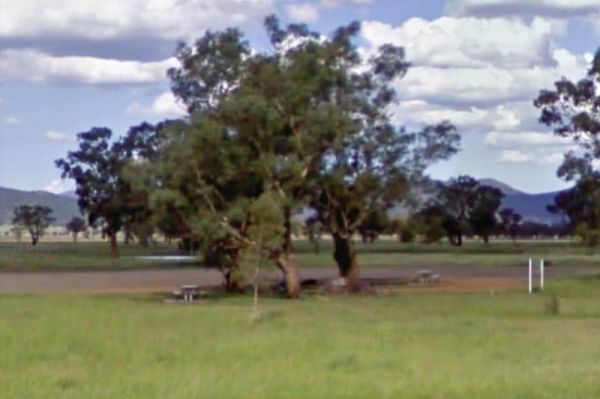
At the Square Bush Rest Area the picnic table and wood fired bbq that is under the shade of a large gum tree, and set well back from the main road, but you will still hear every road noise.
Entrance to the Square Bush Rest Area
Square Bush Rest Area l ...
Read More...
, , ,
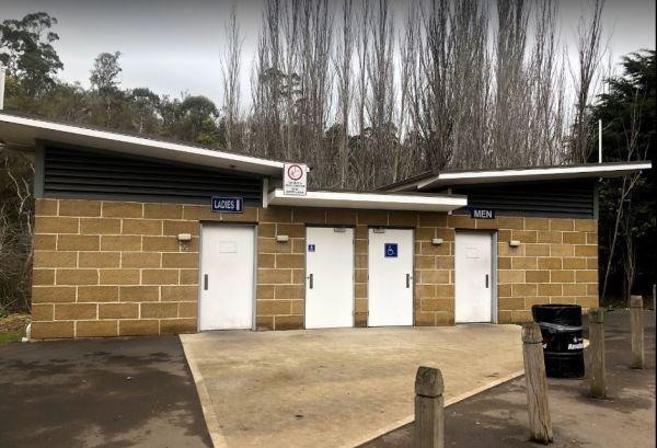
St Peters Pass Rest Area is a nice secluded rest stop, just north of Oatlands. Pass Creek runs behind the rest area, this is fairly level ground with an old stone shelter and picnic tables, public toilets and rubbish bins.
Entrance to the St Peters Pass ...
Read More...
, , , , ,
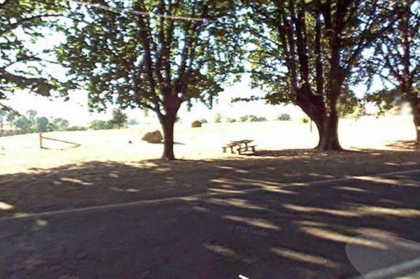
Staghorn Flat Rest Area
Entrance to the Staghorn Flat Rest Area Staghorn Flat Rest Area location map
,
Entrance to the Stan Allen Reserve Rest Area Stan Allen Reserve Rest Area location map
, , ,
Entrance to the Stanhope East Rest Area Stanhope East Rest Area location map
,
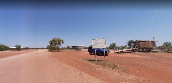
Stanley Rest Area 24 Hour Limit
Entrance to the Stanley Rest Area Stanley Rest Area location map
, , , ,
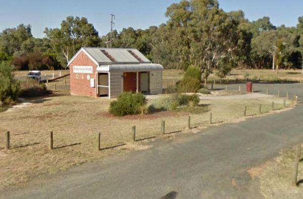
Entrance to the Stawell Federation Park Rest Area Stawell Federation Park Rest Area location map
, , ,
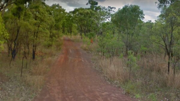
Entrance to the Sterling Mill Rest Area Sterling Mill Rest Area location map
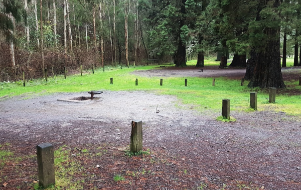
Stevenson Falls Scenic Reserve Rest Area
Stevenson Falls Scenic Reserve Location Map View Larger Map
, , , , ,
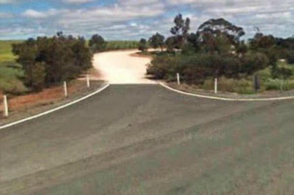
At the Stockwell Rest Area there is not a lot to do apart from take a short break from driving for a few minutes. Entrance to the Stockwell Rest Area Stockwell Rest Area location map
,
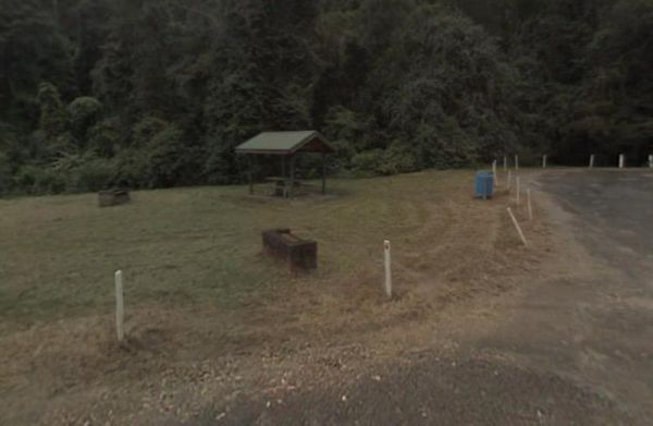
Stockyard Creek Rest Area
The Stockyard Creek Rest Area is located on the corner of Oxley Highway and Stockyard Creek Road, between Port Macquarie to Walcha. Its not the largest place to park your caravan but ample room to turn around if needed. There are public toilets, undercove ...
Read More...
, , , ,
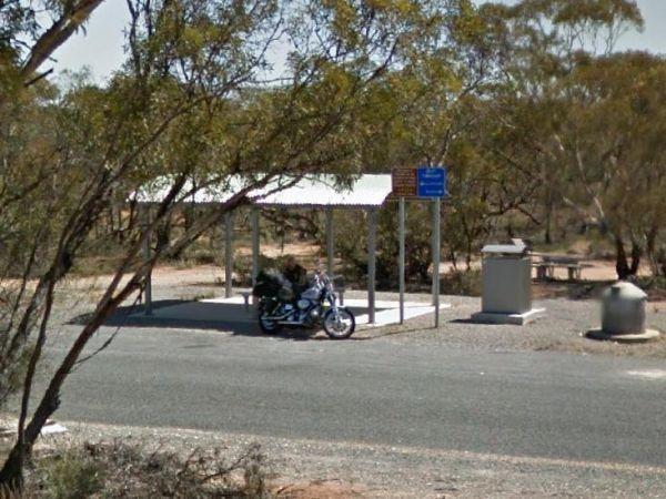
Stockyard Plain Rest Area
The Stockyard Plain Rest Area has an undercover picnic table and rubbish bins, with reasonably level ground to park your caravan but with limited shade. It's a slightly elevated area running alongside the Sturt Highway so you can expect a bit of traffic n ...
Read More...
,
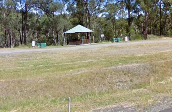
Entrance to the Stoney Creek Rest Area Stoney Creek Rest Area location map
, , ,
Entrance to the Stratford Rest Area Stratford Rest Area location map
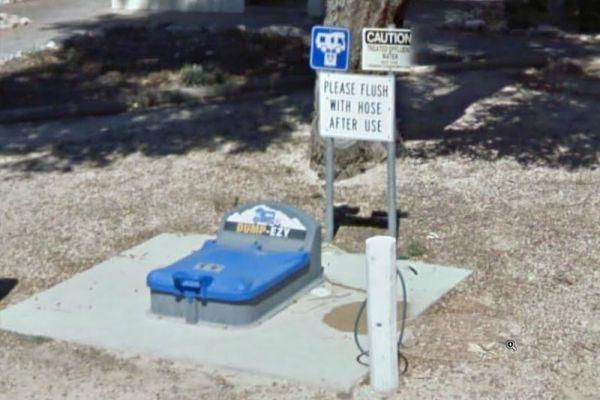
Streaky Bay Park Free Dump Point
Entrance to the Streaky Bay Park Free Dump Point Streaky Bay Park Free Dump Point location map
, , , , ,
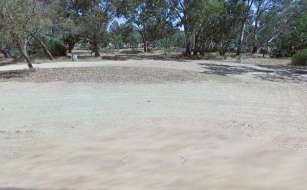
Stuart Mill South Rest Area
Entrance to the Stuart Mill South Rest Area Stuart Mill South Rest Area location amp
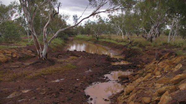
Sturt Creek Rest Area
Sturt Creek Rest Area location map
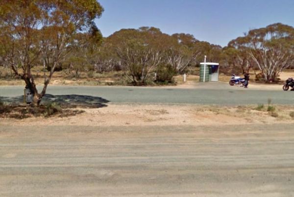
At the Sturt Highway Rest Area you can pull off the asphalt onto the gravel area on both sides of the Sturt Highway. There is a public toilet on the eastbound side, and undercover picnic tables and rubbish bins on both sides. So if you are a bit on the t ...
Read More...
,
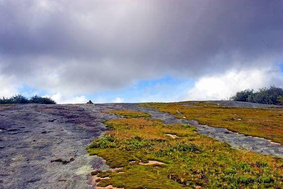
Sullivan Rock Rest Area
Entrance to the Sullivan Rock Rest Area Sullivan Rock Rest Area location map
Sunny Corner Recreation Reserve
The Sunny Corner Recreation Reserve is a great place to go and get away from it all, and there is some interesting mining relics to be found here. is located in an Old mining area (GPS Location for the Stamper Battery below -33.38315,149.887969)
Entrance ...
Read More...
,
Surveyors Memorial Reserve Rest Area
The Surveyors Memorial Reserve Rest Area is the actual Memorial to Tasmania's Early Surveyors, Lyell Highway, is located in a small cut-out on the other-side of the bridge.
Entrance to the Surveyors Memorial Reserve Rest Area
Surveyors Memorial Reserv ...
Read More...
, ,
The Swan Brook Rest Area is a nice location next to a small creek, no large truck access but ample room for large rigs. With a public toilet with wheelchair access, undercover picnic table, wood fired bbq and rubbish bins next to the Swan Brook for fishin ...
Read More...
, , ,
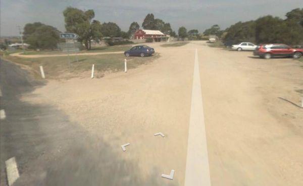
Swan Reach Rest Area
The Swan Reach Rest Area is directly opposite the Swan Reach General Store, so you can pop over and purchase a few essentials for your journey while stopping here. Entrance to the Swan Reach Rest Area Swan Reach Rest Area location map
, ,
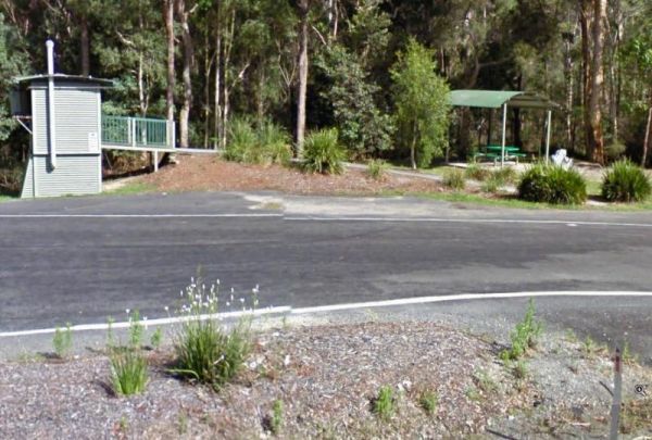
Tabbimoble Rest Area (Northbound Only)
The Tabbimoble Rest Area (Northbound Only) is surrounded by the Doubleduke State Forest, be careful if you decide to explore on foot, as it is quite easy to get lost.
Entrance to the Tabbimoble Rest Area (Northbound Only)
Tabbimoble Rest Area (Northbo ...
Read More...
,
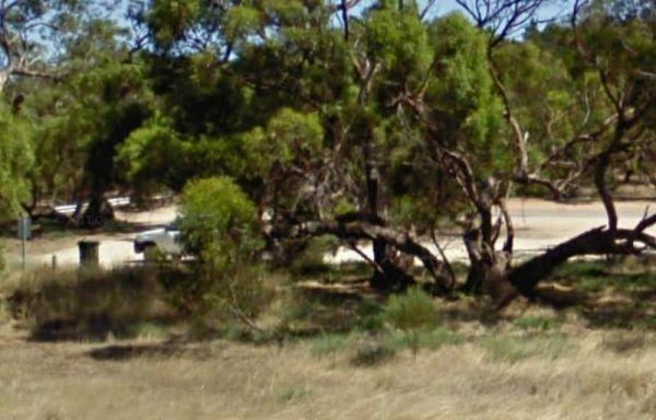
Tailem Bend South Rest Area
The Tailem Bend South Rest Area is close to the Princes Highway, and with only a few trees sepereting this location from the traffic noise you'll hear it. Entrance to the Tailem Bend South Rest Area Tailem Bend South Rest Area location map
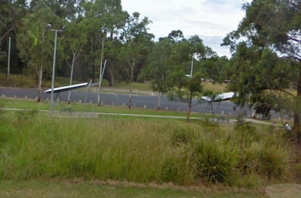
Talawahl Creek Rest Area
Entrance to the Talawahl Creek Rest Area Talawahl Creek Rest Area location map
, ,
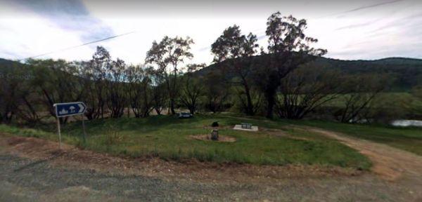
Entrance to the Tallandoon Rest Area Tallandoon Rest Area location map
, , ,
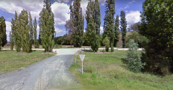
Entrance to the Tallangatta Creek Rest Area Tallangatta Creek Rest Area location map
, , ,
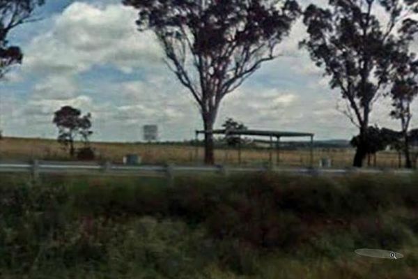
Entrance to the Tallawang Rest Area Tallawang Rest Area location map
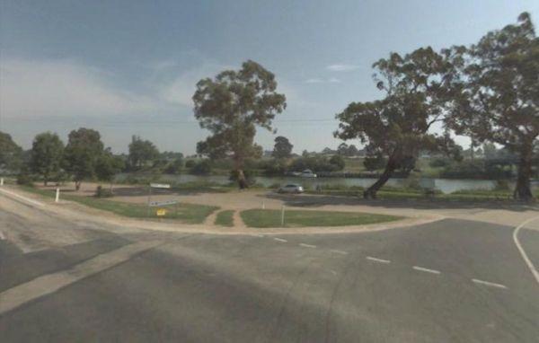
Tambo River Swan Reach Rest Area
Entrance to the Tambo River Swan Reach Rest Area Tambo River Swan Reach Rest Area location map
, ,
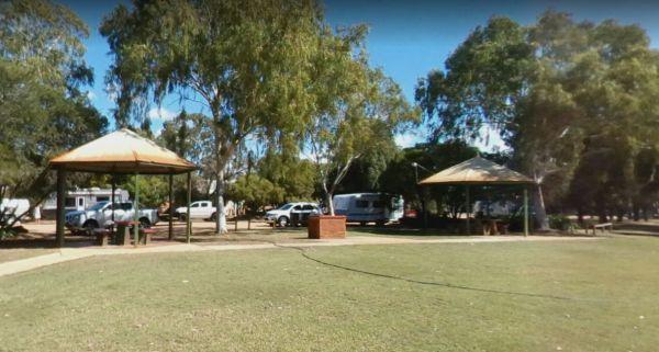
From the Tambo Wetland Reserve Rest Area enjoy the view and count the birds and wildlife that is attracted to this lake system. P.S. It's a fair walk to the local eatery
Entrance to the Tambo Wetland Reserve Rest Area
Tambo Wetland Reserve Rest Area l ...
Read More...
, , ,
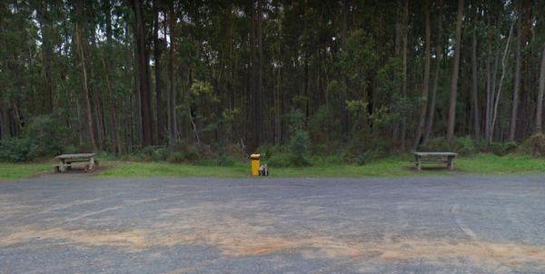
Entrance to the Tamboon Rest Area - East of Cann River Tamboon Rest Area - East of Cann River location map
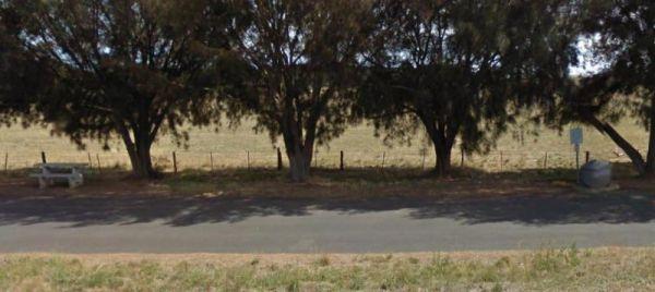
Tantanoola East Rest Area
The Tantanoola East Rest Area is reasonably level with plenty of shade and directly opposite a petrol station. Entrance to the Tantanoola East Rest Area Tantanoola East Rest Area location map
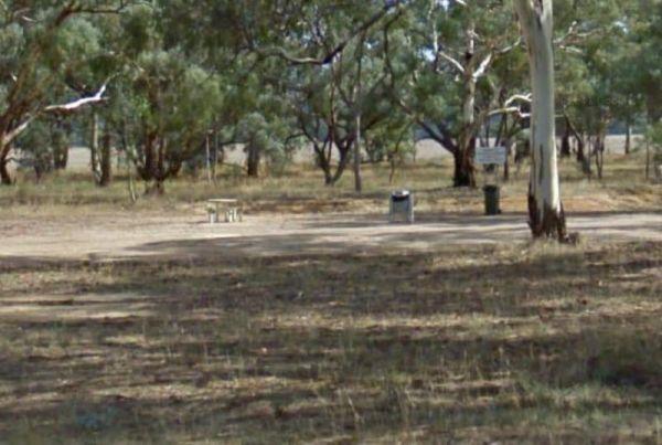
Entrance to the Tanwood South Rest Area Tanwood South Rest Area location map
,
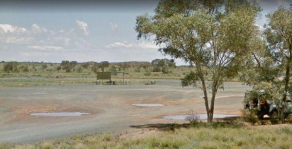
The Tarcoonyinna Rest Area is a large area suitable for all sized rigs, with a few trees in a barren landscape, and not much else to see and do here. Entrance to the Tarcoonyinna Rest Area Tarcoonyinna Rest Arealocation map
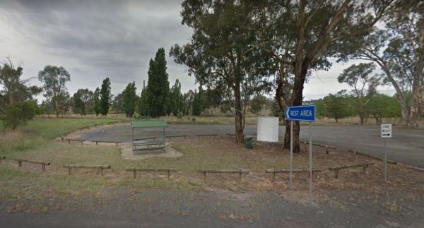
The Tarcutta Rest Area has some shade and 2 picnic tables, but no toilets on both Northbound and Southbound side. There is enough room for large rigs to maneuver, and is located near the junction of the Keajura and Kilgowla Creek, so yabbies might be avai ...
Read More...
,
From the Tarlee Park Rest Area you can take a short stroll to the Take Away, which is located approx one hundred metres down the road. There is a public phone box a bit further down if you need it.
Entrance to the Tarlee Park Rest Area
Tarlee Park Res ...
Read More...
, ,
Entrance to the Tarlee Park Rest Area Tarlee Park Rest Area location map
,
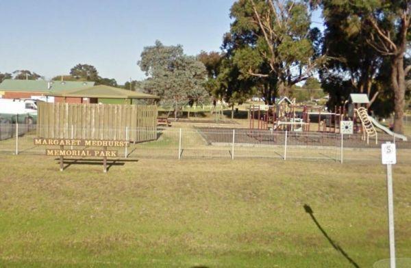
Entrance to the Tarpeena Margaret Medhurst Memorial Park Rest Area Tarpeena Margaret Medhurst Memorial Park Rest Area location map
, , , ,
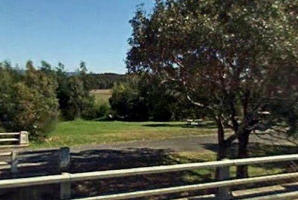
Entrance to the Tarra River Rest Area Tarra River Rest Area local map
, , ,
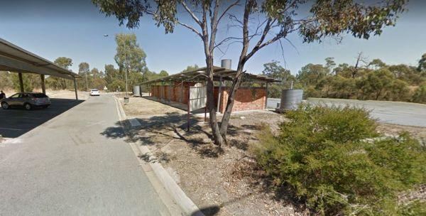
Entrance to the Taungurung Truck Stop Rest Area (Southbound Only) Taungurung Truck Stop Rest Area (Southbound Only) location map
, , ,
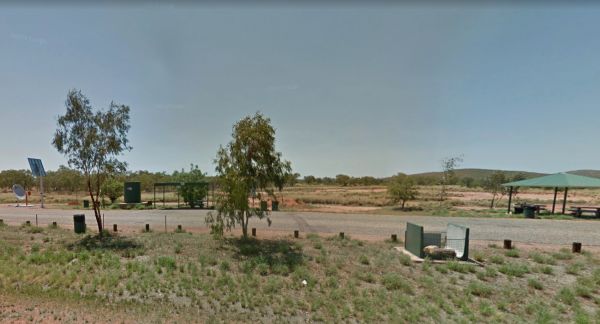
Taylor Creek Rest Area has a mobile-phone signal enhancer that enable your phone to access the network. Plenty of room to park with undercover picnic tables, wood fired bbqs, rubbish bins, tank water and public toilet making this a well equipped rest spot ...
Read More...
, , , , ,
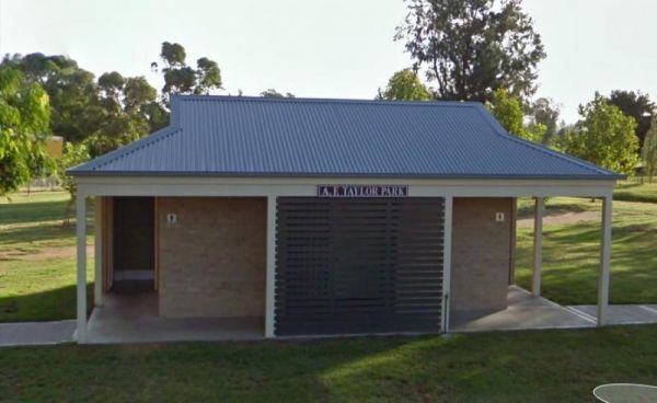
The Taylor Park Rest Area is a nice free overnighter with toilets and a pump out station for RV's. This spot is directly opposite the Commercial Hotel, drop in for a bite to eat while your stopping at the rest area.
Entrance to Taylor Park Rest Area ...
Read More...
, , , , , ,
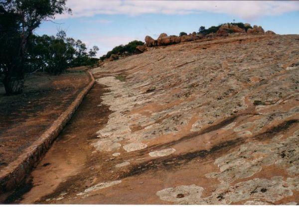
The Tcharkulda Rock Rest Area is a nice stop over for a couple of peaceful nights. With easy walks over and around the interesting granite rocks formations. There is a gas bbq, public toilets, an old stone hut with fireplace and some history to it. While ...
Read More...
, ,
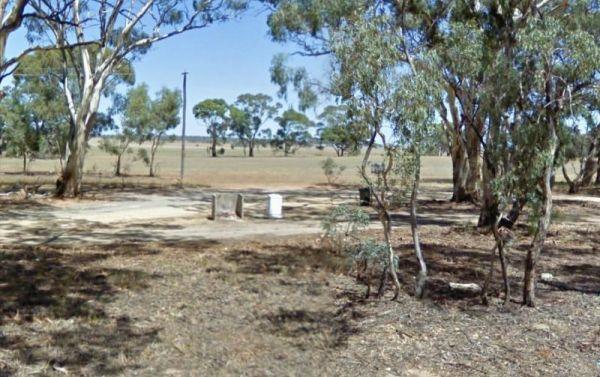
Teddywaddy Rest Area
Entrance to the Teddywaddy Rest Area Teddywaddy Rest Area location map
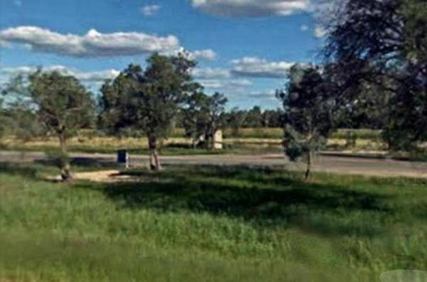
The Telleraga Rest Area doesn't have much to see or do apart from a small pit stop before heading off to your next destination. Entrance to the Telleraga Rest Area Telleraga Rest Area location map
, , ,
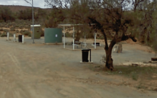
Thackaringa Hills Rest Area
At the Thackaringa Hills Rest Area you can pull off the Barrier Highway along a strip of gravell that has a few low trees for shade, a public toilet, undercover picnic table, rubbish bins and tank water. There is not a lot to do here, apart from sitting a ...
Read More...
, , , ,
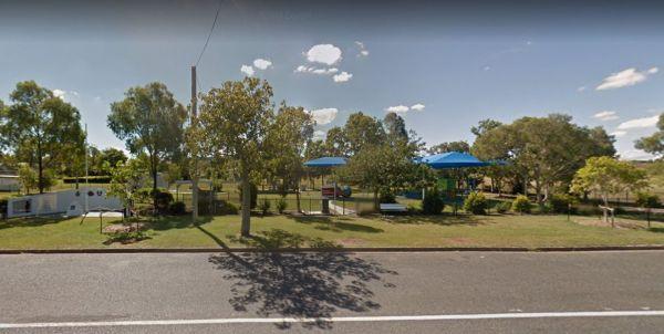
Take a short toilet break at the Thangool Memorial Park Rest Area, check out the military hardware on-site, then pop down the road to the pup for a cold drink, before heading off again on your adventure.
The entrance to the Thangool Memorial Park Rest Ar ...
Read More...
, , , , , ,
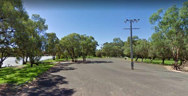
Entrance to the The Bert Dix Memorial Park The Bert Dix Memorial Park location map
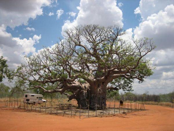
Entrance to the The Boab Rest Area The Boab Rest Area location map
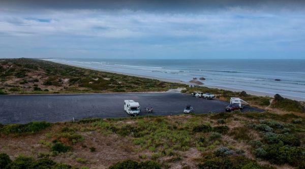
The Granites Parking Area is a popular spot for fishermen with the open Ocean within easy walking distance. Remember to bring everything you need and take your rubbish with you when you leave.
Entrance to The Granites Parking Area
The Granites Parking ...
Read More...
, ,
The Ponds Camp Rest Area has the Andersons Creek adjacent this spot, but only has a small amount of water in it. There is tank water, a few trees for shade, undercover picnic tables, wood fired bbqs, rubbish bins and plenty of room to park your caravan
E ...
Read More...
,
The Rest House Kosciuszko National Park Rest Area
Entrance to the The Rest House Kosciuszko National Park Rest Area The Rest House Kosciuszko National Park Rest Area location map
The 10 Mile Rocks Rest Area is a nice and level with lots of space available to pull over and take a rest from driving. There is an undercover picnic tablem rubbish bins and a public toilet
Entrance to the The Rocks Rest Area
The Rocks Rest Area locat ...
Read More...
, ,
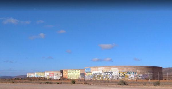
The Tanks Rest Area
Entrance to The Tanks Rest Area The Tanks Rest Area location map
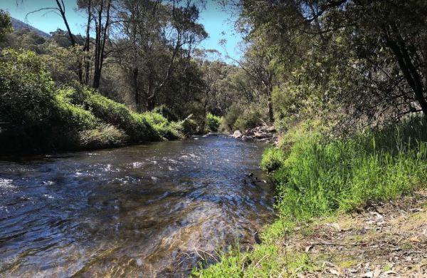
The Walnuts Campground
Entrance to the Walnuts Campground Walnuts Campground location map
, , ,
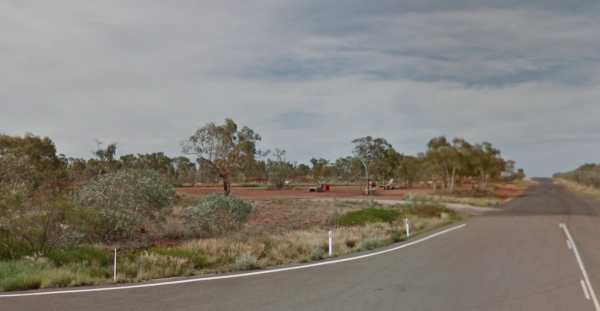
The Thorntonia Yelvertoft Road Rest Area is a place to rest for the night and not much else, but at least you will start out fresh in the morning and hopefully beat the heat to your next location.
Entrance to the Thorntonia Yelvertoft Road Rest Area
T ...
Read More...
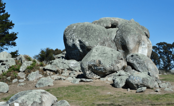
Entrance to the Thunderbolts Rock Park Rest Area Thunderbolts Rock Park Rest Area location map
,
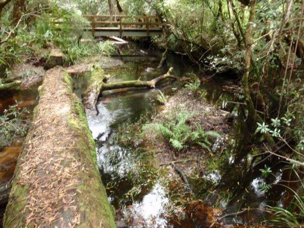
Entrance to the Thurra River Rest Area Thurra River Rest Area location map
, ,
Ti Tree Creek Rest Area
The Ti Tree Creek Rest Area is a small rest area with some shade located next to a dry creek, no chance of fishing here. Entrance to the Ti Tree Creek Rest Area Ti Tree Creek Rest Area location map
When at the Tia River Rest Area walk over to the Tia River and try your luck at angling. There is an undercover picnic table with wood fired bbq, and some rubbish bins. Entrance to the Tia River Rest Area Tia River Rest Area location map
, , , , ,
The Tiaro Memorial Park Free Camping Area is a great place to stop grab a meal and stock up on supplies, it also has Hot Showers in the amenities block. The Park has a 48 hour time limit on camping. Tiaro Memorial Park Free Camping Area location map
, , , ,
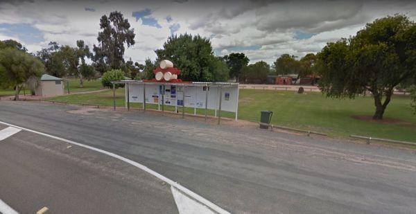
There is also off-road parking on the other side of the TM Price Rotary Park Rest Area for motorhomes, with a 24 Hour Limit and No Caravans permitted. Entrance to the TM Price Rotary Park Rest Area TM Price Rotary Park Rest Area location map
, , , ,
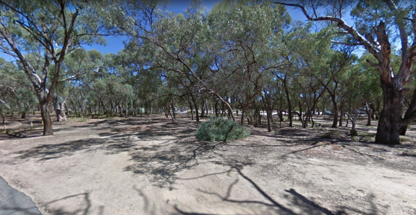
When stopping at the Tolderol Game Reserve don't get excited about Lake Alexandrina having water in it as its often in drought conditions. But it's still a good place for your camera. Tolderol Game Reserve Location Map
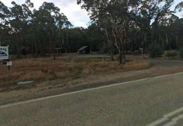
Entrance to Tolmie Rest Area Tolmie Rest Area location map
, , , ,
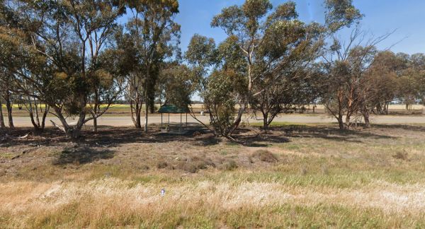
The Tongaboo Rest Area is a long strip of asphalt running alongside the Newell Highway, with some small trees for shade, and an undercover picnic table plus a few rubbish bins, there is plenty of room to park your caravan or motorhome here.
Entrance to t ...
Read More...
,
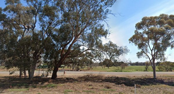
Entrance to the Tongaboo Rest Area 2 Tongaboo Rest Area 2 location map
,
Entrance to the Tongala Turnoff Rest Area Tongala Turnoff Rest Area location map
, ,
Tookey Creek Rest Area is a large bitumen parking area Entrance to the Tookey Creek Rest Area Tookey Creek Rest Area location map
,
Toolangi Streamside Reserve location map
, ,
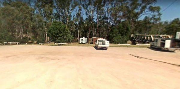
Entrance to the Tooleybuc Park Tooleybuc Park location map
, , , ,
The Toomingley North Rest Area has plenty of spots to park the caravan for an hour or two, and a few trees for shade, there are picnic tables and rubbish bins located along this asphalted area.
Entrance to the Toomingley North Rest Area
Toomingley Nor ...
Read More...
,
Entrance to the Tooradin foreshore camping Tooradin foreshore camping location map
, , , , ,
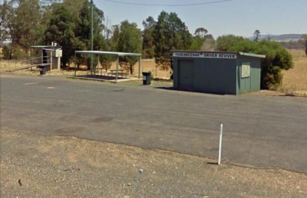
Tooraweenah Rest Area
Tooraweenah Rest Area is a strip of asphalt with public toilets, undercover picnic tables and rubbish bins with nice views of the mountains in the distance. Entrance to the Tooraweenah Rest Area Tooraweenah Rest Area location map
, , , ,
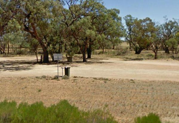
Entrance to the Torneys Tank Bushland Reserve Rest Area Torneys Tank Bushland Reserve Rest Area location map
, , ,
Entrance to the Torquay Taylor Park Rest Area Torquay Taylor Park Rest Area location map
, , , ,
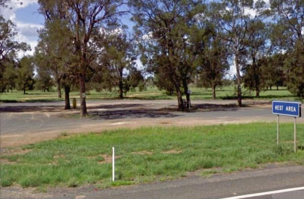
Entrance to the Trangie Rest Area Trangie Rest Area location map
,
Entrance to the Traralgon Rest Area (West) Traralgon Rest Area (West) location map
,
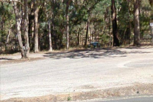
Entrance to the Trawalla State Forest Rest Area Trawalla State Forest Rest Area location map
,
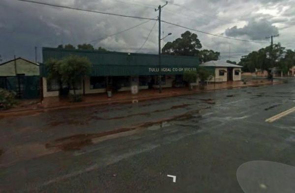
Tullibigeal Pioneer Park Rest Area
The Tullibigeal Pioneer Park Rest Area is directly opposite the Co Op, so you can stock up on essential supplies, or walk up the road for a take away meal. P.S. You will need a long leads if you intend to use the free power at this site. (30 metre)
Entra ...
Read More...
, , , ,
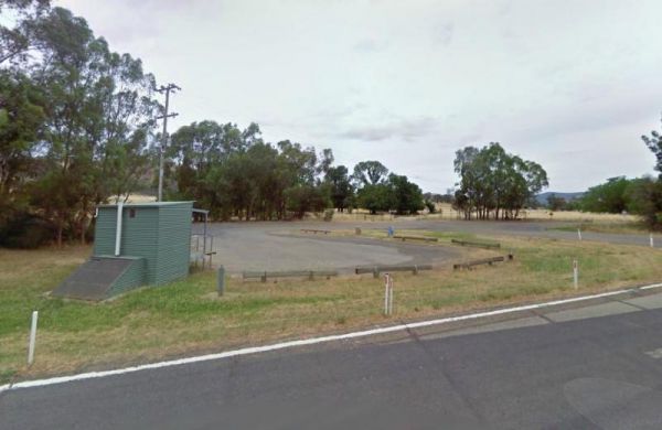
Entrance to the Tumblong Rest Area Tumblong Rest Area location map
, , ,
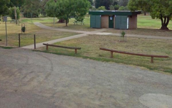
At the Tumut Park Rest Area you can take a short stroll around the Park and stretch your legs. There are plenty of places to pull over and take a break from driving. Entrance to the Tumut Park Rest Area Tumut Park Rest Area location map
, , ,
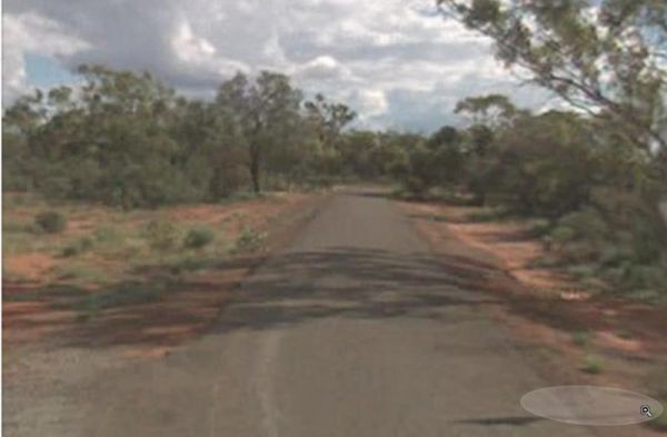
The Tuncoona Rest Area is on the way to Bourke set back a fair distance from the Mitchell Highway. There are some trees for shade and rubbish bins. Entrance to the Tuncoona Rest Area Tuncoona Rest Area location map
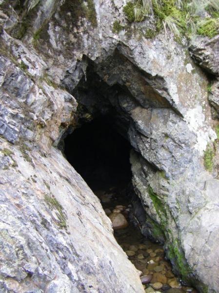
Tunnel Bend Camping Area
Tunnel Bend Camping Area 360 Tunnel Bend Camping Area location map
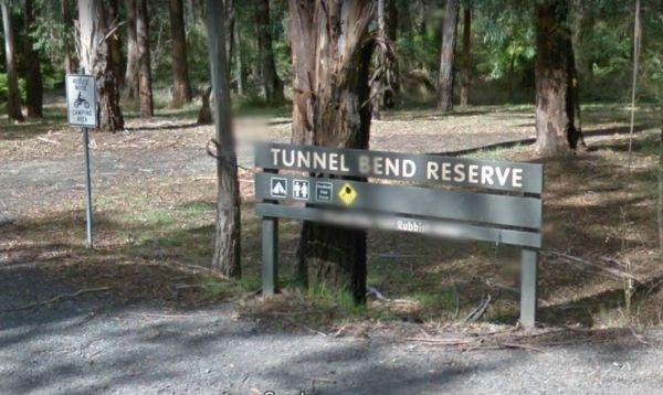
Entrance to the Tunnel Bend Reserv Camping Area Tunnel Bend Reserve Camping Area location map
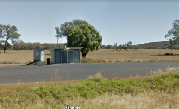
The Two Mile Creek Rest Area is far enough off the road to be safe enough fo the kids. Located on the Mitchell Highway, Cundumbul and has a toilet block, mobile phone coverage and is pet friendly, there is not a lot to do here but take a rest from driving ...
Read More...
, ,
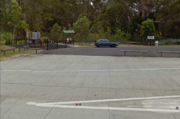
If stopping at the Tyagarah Rest Area flushing style composting toilets and tank water. If your lucky you will see the Byron Bay Gliding Club use the runway which is at a 90 degree angle to this spot, on the other side of the Hwy. You might get to see a f ...
Read More...
, , , ,
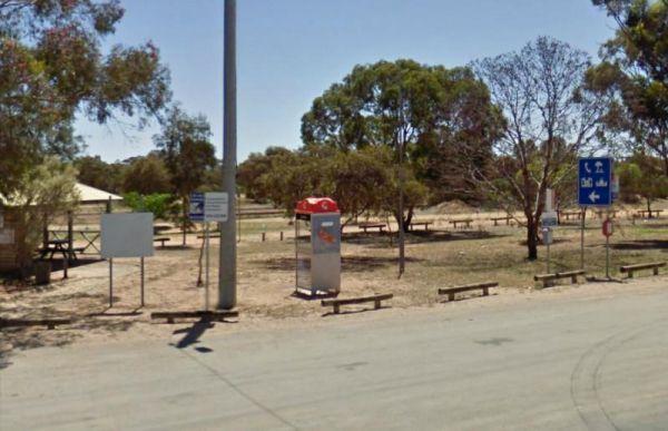
Entrance to the Underbool Park Underbool Park location map
, , ,
The Uralla South Rest Area is a great place to stop to give the dog a chance to run around while you take in the sculptures. There is an Electric BBQ, picnic table & rubbish bin is available but no potable water, it's a nice shady spot to pull and hav ...
Read More...
,
Victoria - South Australia Border Rest Area
Entrance to the Victoria - South Australia Border Rest Area Victoria - South Australia Border Rest Area location map
, , ,
Entrance to the Victory Park Victory Park location map
, , ,
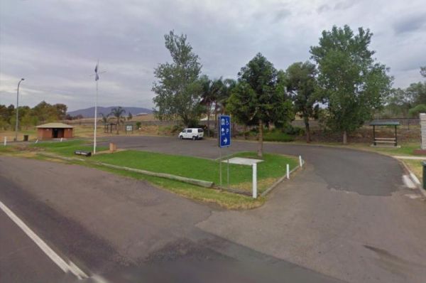
Vietnam Memorial Rest Area - Muswellbrook North
At the Vietnam Memorial Rest Area - Muswellbrook North some uncaring Campers are doing the wrong thing by all of us, and are causing damage to these free facilities provided by the local RSL, and if it continues, we are possibly all going to lose the abil ...
Read More...
, , ,
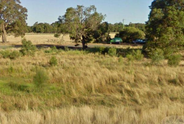
Entrance to the Wagerup Rest Area Wagerup Rest Area location map
, , ,
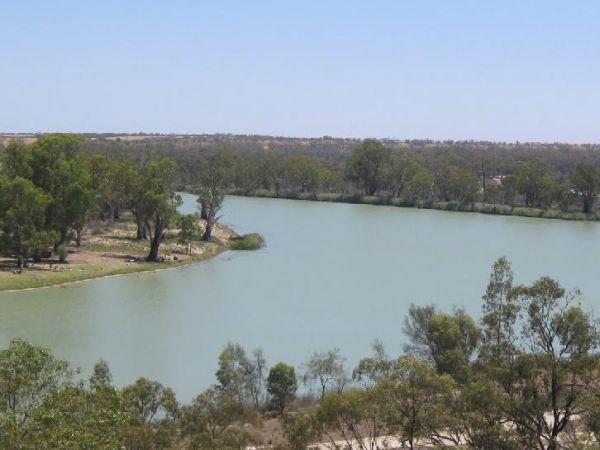
Entrance to the Waikerie Lookout Rest Area Waikerie Lookout Rest Area location map
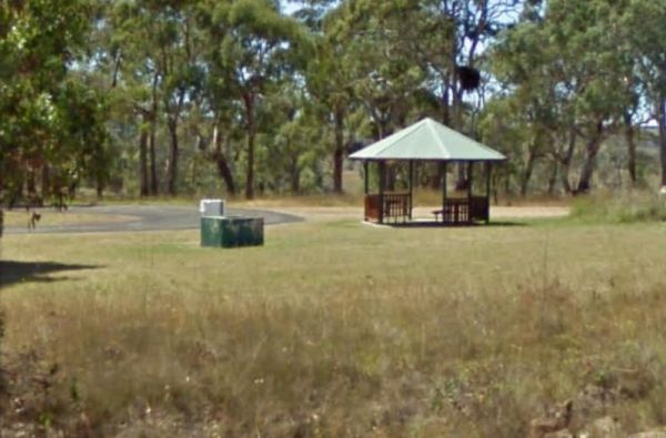
The Walcha East Rest Area has very large bays for B Doubles etc, and plenty of room for caravans. This site is set back from the Oxley Highway, with public toilets, undercover picnic table, a bbq fireplace and a few rubbish bins, plus some trees for shade ...
Read More...
, , , ,
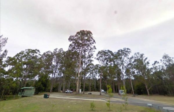
Entrance to the Waldrons Swamp Rest Area Waldrons Swamp Rest Area location map
, , , ,
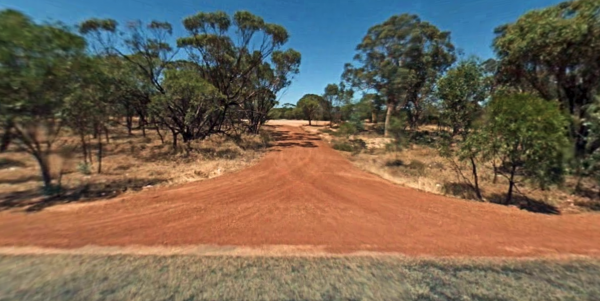
Walebing Nature Reserve
Walebing Nature Reserve
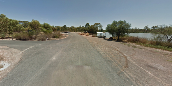
Walker Flat Boat Ramp Reserve
The Walker Flat Boat Ramp Reserve is a nice place to drop your kayak into the Murray. Walker Flat Boat Ramp Reserve Location Map Entrance to the Walker Flat Boat Ramp Reserve
, , , ,
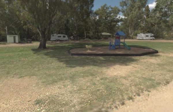
Wallabadah Rest Area
At the Wallabadah Rest Area you can take a short stroll along the banks of the Quinndi Creek NOTE: Onsite Public Toilets close at 5:00 pm. Entrance to the Wallabadah Rest Area Wallabadah Rest Area location map
, , , , ,
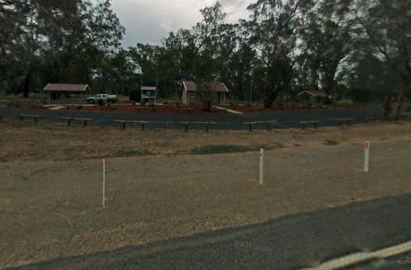
From the Wallacetown Rest Area you can walk over to the shop and grab a few things and ask what’s in the area worth visiting. Entrance to the Wallacetown Rest Area Wallacetown Rest Area location map
, , , , ,
Wallagaraugh River Rest Area
Entrance to the Wallagaraugh River Rest Area Wallagaraugh River Rest Area location map
Wallangarra Lions Park Rest Area
Entrance to the Wallangarra Lions Park Rest Area Wallangarra Lions Park Rest Area location map
, , , ,
Wallaroi Creek Rest Area
Entrance to the Wallaroi Creek Rest Area Wallaroi Creek Rest Area location map
, , ,
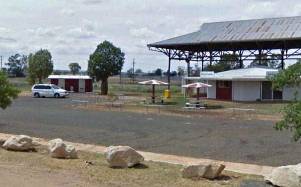
Wallumbilla Rest Area
The Wallumbilla Rest Area is located in the Centre of Town, you can cross the road and walk to the Newsagent and Grab a Take Away while your there. Heritage Complex and Calico Cottage are in the same location. The Queens Theatre and Museum is a short walk ...
Read More...
, , ,
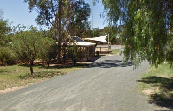
Entrance to the Walpeup Rest Area Walpeup Rest Area location map
, ,
The Wang Wauk Rest Area is a nice spot to take a break from driving. with plenty of room for big rigs. Entrance to the Wang Wauk Rest Area Wang Wauk Rest Area location map
, , , , ,
The Wangary Rest Area is reasonable level gravel surface just off the Flinders Highway, with an undercover picnic table area, and some trees for shade for your car and caravan. Entrance to the Wangary Rest Area Wangary Rest Area location map
,
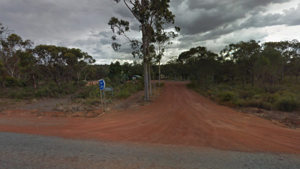
Entrance to Wannamal Rest Area Wannamal Rest Area Location Map
, , ,
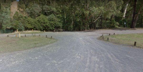
Warburton East Rest Area
Entrance to the Warburton East Rest Area Warburton East Rest Area location map
, , ,
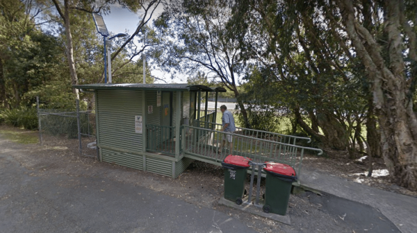
Entrance to the Wardell Rest Area (Southbound) Wardell Rest Area (Southbound) location map
, , ,
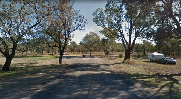
The Warialda Creek Rest Area has a few trees and birds to keep you company, and not much else at this location. Entrance to the Warialda Creek Rest Area location map Warialda Creek Rest Area Location Map
,
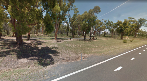
When stopping at the Warialda Rotary Park Rest Area check out the walking tracks and take your camera with you. Entrance to the Warialda Rotary Park Rest Area location map Warialda Rotary Park Rest Area Location Map
,

Entrance to the Warra Rest Area Warra Rest Area location map
, , , , ,
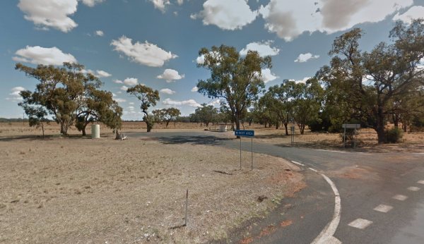
Entrance to the Warren North Rest Area Warren North Rest Area location map
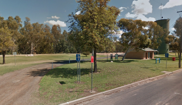
Warren Park Rest Area
Entrance to the Warren Park Rest Area Warren Park Rest Area location map
, , , ,  ,
,
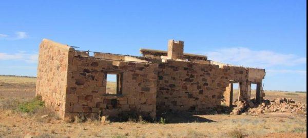
Warrina Siding
The Warrina Siding is an easy walk to the Old Ruins, and this rest area is a short distance from the Oodnadatta Track, but make sure you are well stocked with water, fuel and food, as this is an unforgiving area you are visiting, it's always advisable to ...
Read More...
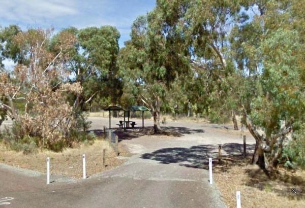
Warrow North Rest Area
The Warrow North Rest Area has an undercover picnic table, and a few rubbish bins, and room to park your caravan on a large gravel surface, on the corner Ulina Lane and Flinders Highway. There is
Entrance to the Warrow North Rest Area
Warrow North Res ...
Read More...
The Warwick Victoria Park Rest Area is on large flat bitumen area with grassy areas and plenty of room to turn around big rigs. There is a wood-fired bbq, public toilet with wheelchair access, and a childrens playground.
Entrance to the Warwick Victoria ...
Read More...
, , , ,
Entrance to Water Tanks Rest Area Water Tanks Rest Area Location Map
, , , ,
The Watraba Rest Area has plenty of room to park your caravan on a large gravel area, but there is very little shade, some rubbish bins and picnic tables, located just off the Eyre Highway. You can also sit and watch the traffic go by, before heading off ...
Read More...
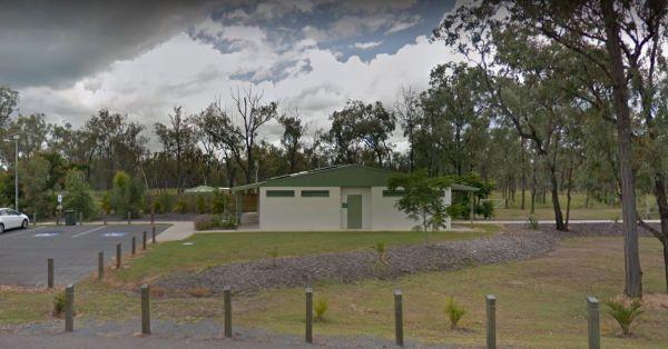
Waverley Creek Rest Area 20 Hour Limit
The Waverley Creek Rest Area has a maximum stay 20 hours allowed, Facilities include Wood fired BBQs, and tap water, as with most water your not sure about, it's advisable to purify it first by boiling before drinking. There is also a telephone box availa ...
Read More...
, , , , ,
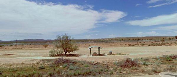
Wawirra Creek Rest Area
The Wawirra Creek Rest Area is quite a large gravel area to pull into, it's nestled between the Railway and the Barrier Highway, so expect a bit of traffic noise if you stop here.
Entrance to the Wawirra Creek Rest Area
Wawirra Creek Rest Area locatio ...
Read More...
Wedderburn West Rest Area
Entrance to the Wedderburn West Rest Area Wedderburn West Rest Area location map
,
Entrance to the Weethalle Rest Area Weethalle Rest Area location map
, ,
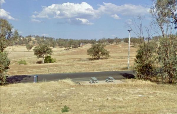
If your at the Wellington South Rest Area you might as well visit the Wellington Caves, the turn off to them is a hundred metres or so down the road. Entrance to the Wellington South Rest Area Wellington South Rest Area location map
,
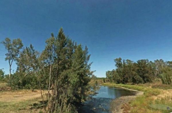
The Wells Crossing Rest Area is a popular and well known fishing spot on the Severn River, so expect company when stopping here. Wells Crossing Rest Area location map
, ,
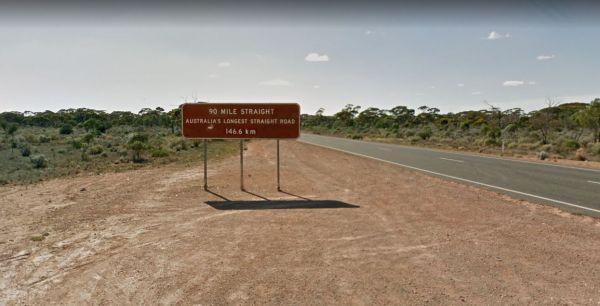
West End of "90 Mile Straight"
Entrance to the West End of "90 Mile Straight" West End of "90 Mile Straight" location map
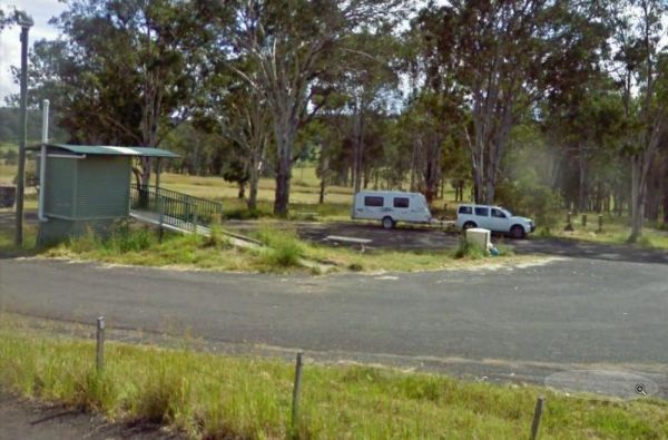
West of The Range Rest Area
The West of The Range Rest Area has a public toilet and picnic tables but no rubbish bins. Entrance to the West of The Range Rest Area West of The Range Rest Area location map
, , ,
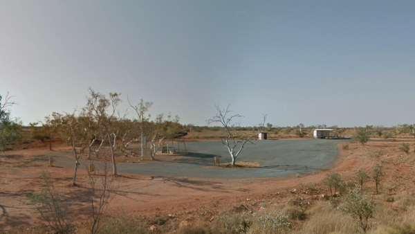
Entrance to West Peawah River Rest Area West Peawah River Rest Area Location Map
, , , ,
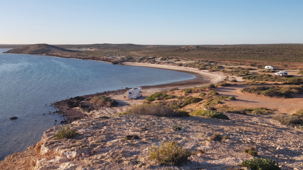
Entrance to Whalebone Bay Rest Area Whalebone Bay Rest Area Location Map
,
Checkout the website link to find out more about the Wharminda Soaks Picnic Area, there is a public toilet, and a bit of room to park your caravan, and enjoy a nice picnic. P.S. Your camera will be need with full a battery.
Wharminda Soaks Picnic Area lo ...
Read More...
,
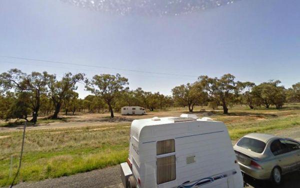
Entrance to the Wharparilla Flora Reserve Rest Area Wharparilla Flora Reserve Rest Area location map
,
Wheatley VC Rest Area
Pull over at the Wheatley VC Rest Area and have a break from driving, and take time to think how this site came about. Read the history in the web link on this page. Entrance to the Wheatley VC Rest Area Wheatley VC Rest Area location map
,  ,
,
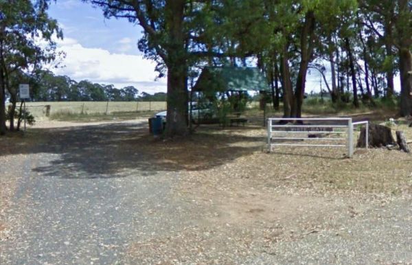
The White Gate Rest Area has mobile phone reception, and it's dog friendly. There is a picnic table with plenty of shade, with an iconic white gate. I wouldn't recommend towing a large caravan into here.
Entrance to the White Gate Rest Area
White Gate ...
Read More...
,
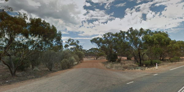
White Wells Rest Area
Entrance to White Wells Rest Area White Wells Rest Area Location Map
, , ,
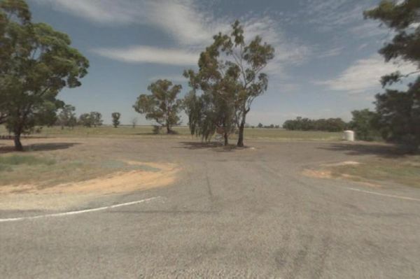
The Widgiwa Rest Area has a reasonably large turning area that caters for all sized rigs. There is a picnic table, some large trees, plus rubbish bins and room for bigger caravans. There is water available but treat it first if you intend to drink it.
En ...
Read More...
,
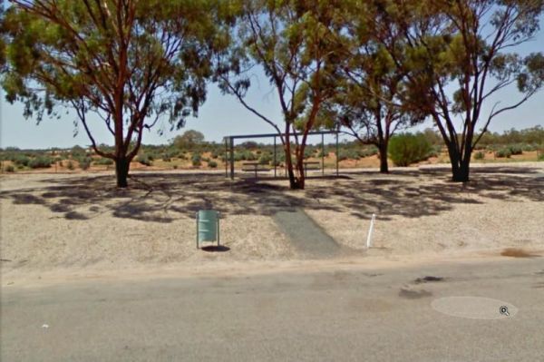
Wilcannia South Rest Area has Four Trees, a picnic table nicely shaded by them. and two rubbish bins, and not a lot to do or see here. Entrance to the Wilcannia South Rest Area Wilcannia South Rest Area location map
,
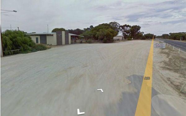
Willalooka Park Rest Area
Entrance to the Willalooka Park Rest Area Willalooka Park Rest Area location map
, , , ,
Willie Creek Rest Area Location Map
,
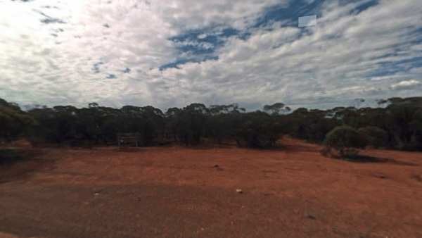
Entrance to Wilroy Nature Reserve Rest Area Wilroy Nature Reserve Rest Area Location Map
,
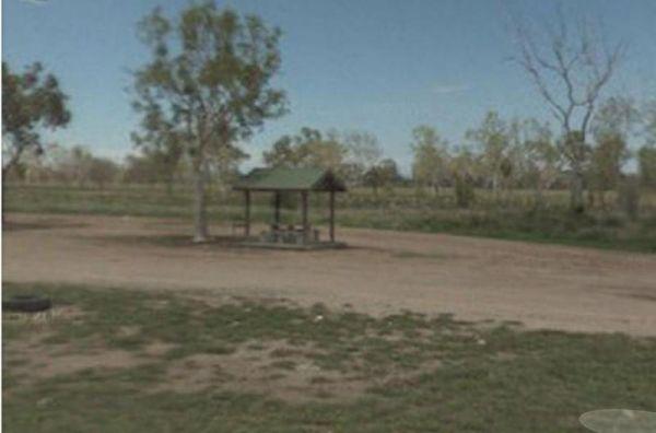
Entrance to the Wilson Creek Rest Area Wilson Creek Rest Area location map
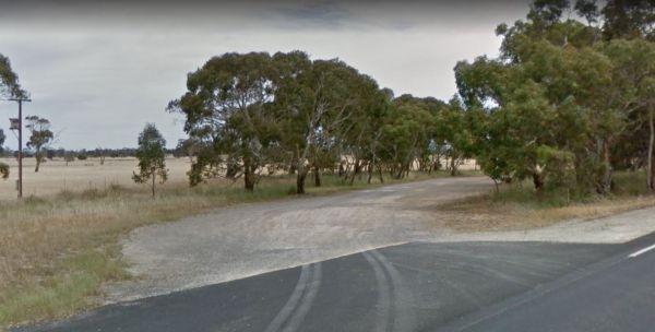
Entrance to the Winavon Rest Area Winavon Rest Area location map
,
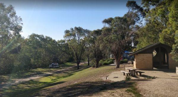
Winchelsea Park Rest Area
Entrance to the Winchelsea Park Rest Area Winchelsea Park Rest Area location map
Windsor Rest Area
Windsor Rest Area Location Map
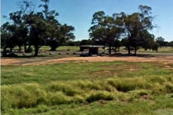
The Woodburn Park Rest Area has nicely shaded car parking ares, flushing public toilets, electric bbq, and quite a few picnic tables along the Richmond River. Entrance to the Wingadee Rest Area Wingadee Rest Area location map
,
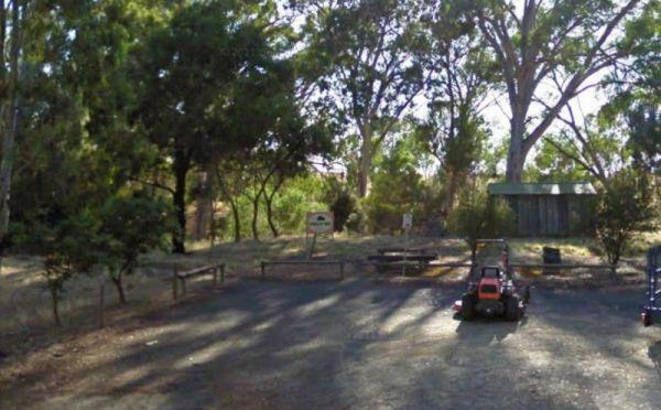
Winkler Park Rest Area
Entrance to the Winkler Park Rest Area Winkler Park Rest Area location map
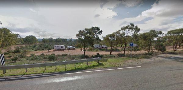
The Winnininnie Creek Rest Area is nothing more than a Dry Creek bed, with seasonal flows if your lucky. Entrance to the Winnininnie Creek Rest Area Winnininnie Creek Rest Area location map
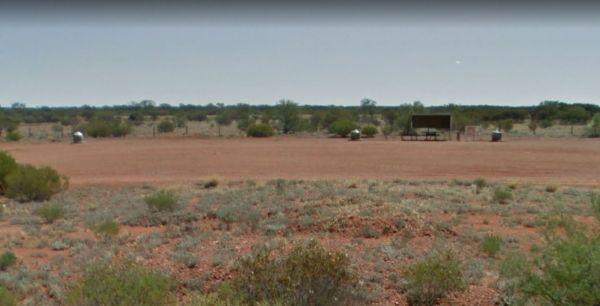
The Wintinna Rest Area is set back from the Stuart Hwy with an undercover picnic table and one in the great outdoors a couple of rubbish bins and not much else. At least the shrubs are getting bigger, come here in spring after some rain and it's a differe ...
Read More...
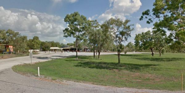
Entrance to the Wirnwirnmila Mary River Roadhouse Wirnwirnmila Mary River Roadhouse location map
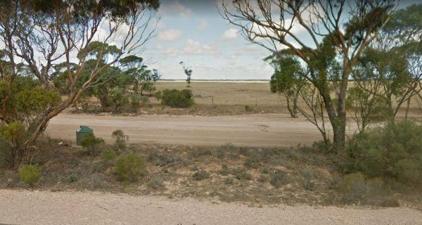
Entrance to the Wirrulla West Rest Area Wirrulla West Rest Area location map
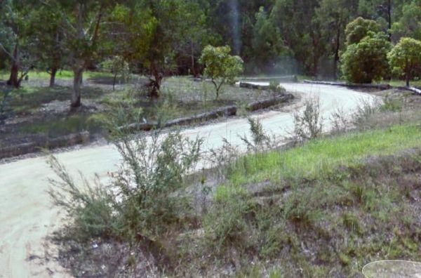
Entrance to the Won Wron North Rest Area Won Wron North Rest Area location map
,
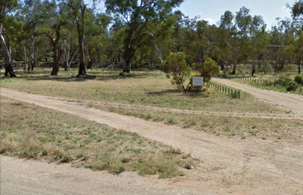
Entrance to the Wood Wood Rest Area Wood Wood Rest Area location map
When stopping at the Woodburn Park Rest Area you can pop over the road to the take away or you can have a go at catching your own dinner in the Richmond River. Entrance to the Woodburn Park Rest Area Woodburn Park Rest Area location map
, , , ,
Entrance to the Woolbrook Rest Area Woolbrook Rest Area location map
, , , ,
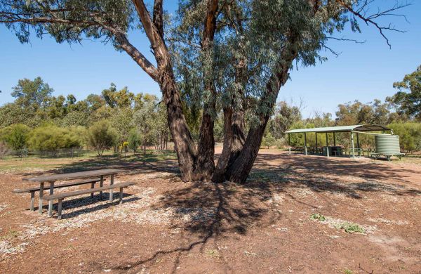
The Woolshed Flat Rest Area is a large and reasonably flat area, with plenty of room to turn with any sized off-road camper. Entrance to the Woolshed Flat Rest Area Woolshed Flat Rest Area location map
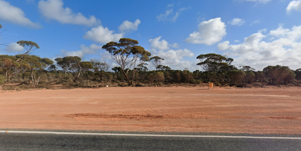
Entrance to Woorlba East Rest Area Woorlba East Rest Area Location Map >
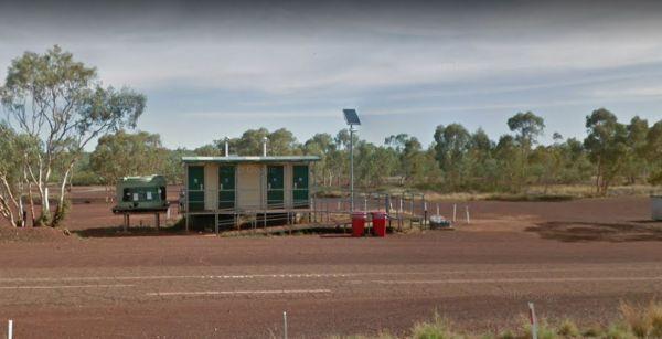
The World War II Historical Site Rest Area is not too bad a place to stop for a night or two, but not a lot to see or do once you turn off the car engine. This site gets its name from being a WWII Aircraft landing strip nearby.
Entrance to the World War ...
Read More...
, ,
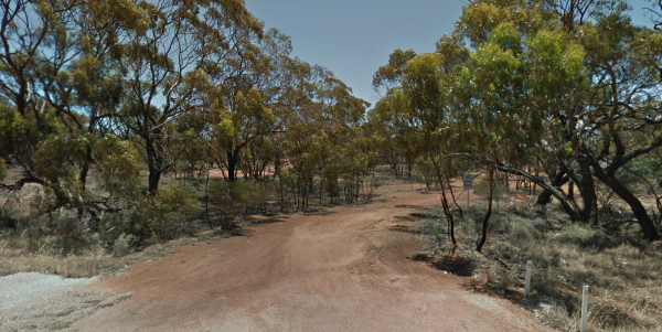
Wubin Rocks Rest Area Location Map
,
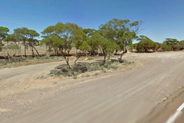
The Wudinna East Rest Area is located on the edge of Eyre Highway on reasonably level gravel surface for you to park your caravan. There's not a lot to do here, apart from take a break from driving.
Entrance to the Wudinna East Rest Area
Wudinna East ...
Read More...
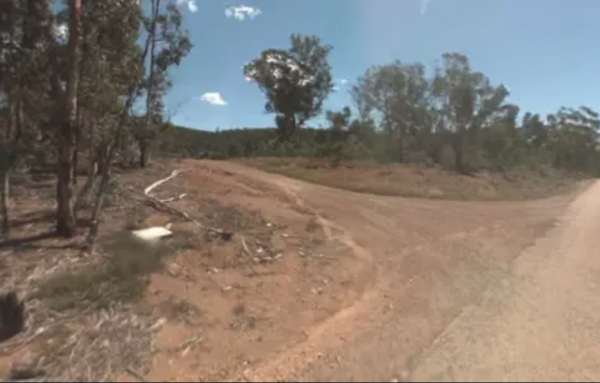
Wulgulmeran Recreation Reserve
Entrance to the Wulgulmeran Recreation Reserve - Free Dump Point Wulgulmeran Recreation Reserve - Free Dump Point location map
, , ,
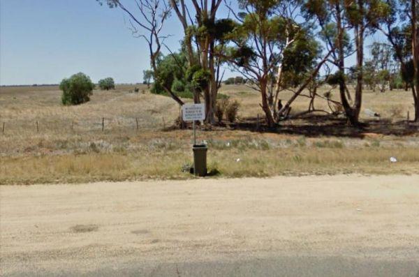
Wycheproof North Rest Area 1
Entrance to the Wycheproof North Rest Area 1 Wycheproof North Rest Area 1 location map
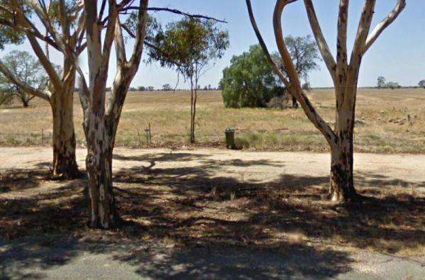
Wycheproof North Rest Area 2
Entrance to the Wycheproof North Rest Area 2 Wycheproof North Rest Area 2 location map
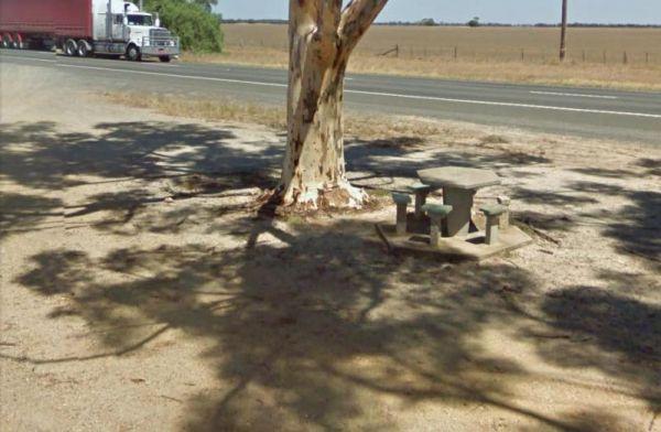
Wycheproof South Rest Area
The Wycheproof South Rest Area Entrance to the Wycheproof South Rest Area Wycheproof South Rest Area location map
,
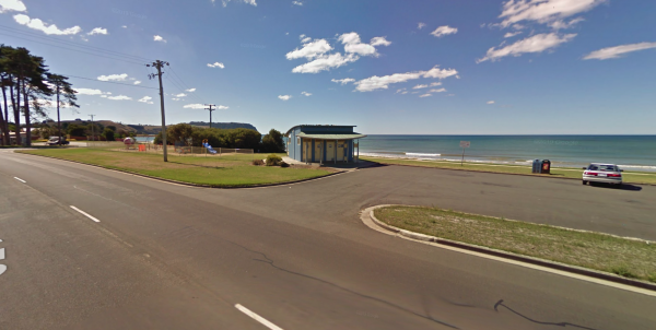
The Wynyard Foreshore Parking Area is a quiet beach front day parking area, with good facilities, and will keep the kids entertained for a while in the playground area. Entrance to the Wynyard Parking Area Wynyard Parking Area Location Map
, , , ,
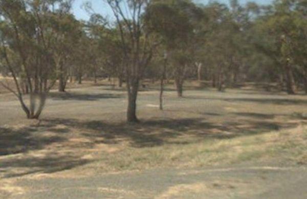
Entrance to the Wyuna Rest Area Wyuna Rest Area location map
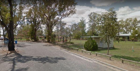
The Yaamba Rest Area is a bit noisy from the constant road traffic as it's just off the Bruce Highway. There is a public toilet, a bbq and undercover picnic tables, and plenty of level ground to park on.
The Royal Oak Hotel is worth a visit to get a good ...
Read More...
, , , ,
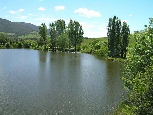
Yackandandah Lake Picnic Reserve
Entrance to the Yackandandah Lake Picnic Reserve Yackandandah Lake Picnic Reserve location map
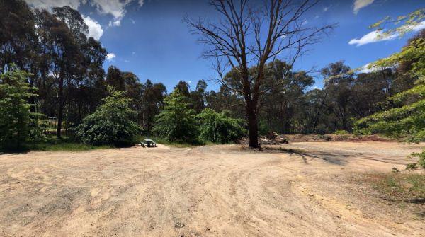
The Yackandandah North Rest Area Entrance to the Yackandandah North Rest Area Yackandandah North Rest Area location map
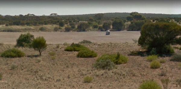
At the Yalata West Rest Area there is a rubbish bin, and room to park your caravan on a large gravel surface that is reasonably flat. Entrance to the Yalata West Rest Area Yalata West Rest Area location map
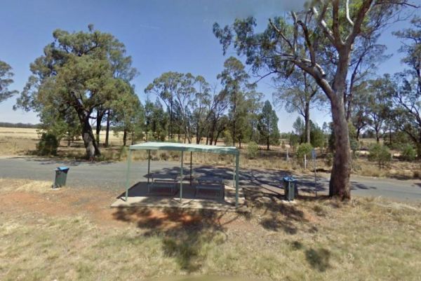
At the Yalcogrin Rest Area you can get mobile phone reception, and the site is just off the Newell Highway with an undercover picnic table and a couple of rubbish bins and not much shade for you caravan.
Entrance to the Yalcogrin Rest Area
Yalcogrin R ...
Read More...
,
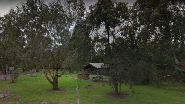
Yallock Creek Rest Area
The Yallock Creek Rest Area has room to park your van, an undercover picnic table and a few BBQ's to help take the stress out of driving. Entrance to the Yallock Creek Rest Area Yallock Creek Rest Area location map
,
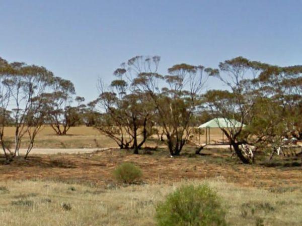
The Yamba East Rest Area is on both sides of the Sturt Highway, there some rubbish bins and small shade trees. Entrance to the Yamba East Rest Area Yamba East Rest Area location map
,
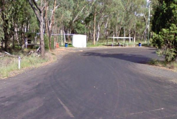
Yamminba Rest Area
The Yamminba Rest Area is good for those of you who like a bit of a stroll, the Timmallallie Creek is 500 metres up the road. Entrance to the Yamminba Rest Area Yamminba Rest Area location map
,
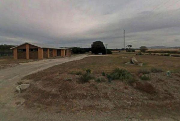
Entrance to the Lance Moon Park Lance Moon Park location map
, , ,
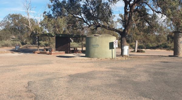
At the Yanga Creek Rest Area you'll get to see beautiful sunrises over Hay Plains. Even though it's set back a fair way from the Sturt Highway, you'll still hear some highway noise. with very little shade. There is also nothing between you and the main ro ...
Read More...
, , ,
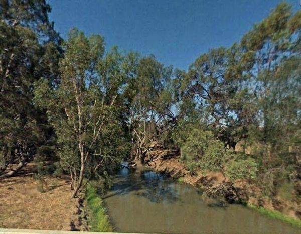
The Yanko Creek Rest Area is very close to the creek from the rest area so a bit of relaxing with a fishing rod might be what is needed here. Entrance to the Yanko Creek Rest Area Yanko Creek Rest Area location map
, ,
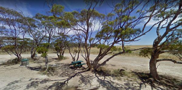
The Yantanabie South Rest Area is another not a lot to do place with level ground and close to the Eyre Highway. There is a picnic table under some small trees, and some rubbish bins, and that sums this rest spot up.
Entrance to the Yantanabie South Rest ...
Read More...
The Yass South Rest Area has no signposts, and easily missed believe it or not, this rest area runs adjacent part of the Barton Hwy, just after the form 1 lane sign. Entrance to the Yass South Rest Area Yass South Rest Area location map
,
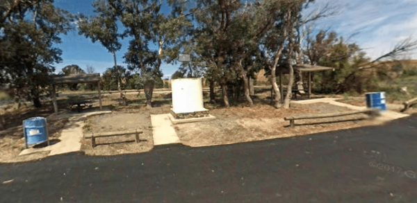
The Yass Valley Way Rest Area is on the corner of two major roads, the Yass Valley Way and Hume Hwy. a quick spot to chill out from driving for a minute or two. Entrance to the Yass Valley Way Rest Area Yass Valley Way Rest Area location map
,
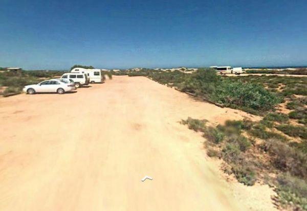
Entrance to the Yerdani Well Rest Area Yerdani Well Rest Area location map
, ,
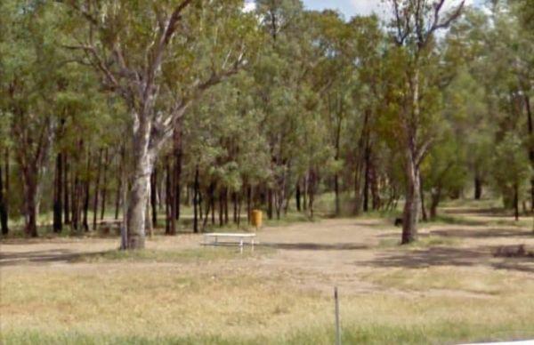
The Yuleba Creek Rest Area is a place to pull off the main road and take a short break from driving, walk over to the creek and you've nearly seen all there is here of interest.
Entrance to the Yuleba Creek Rest Area
Yuleba Creek Rest Area location ma ...
Read More...
, , ,
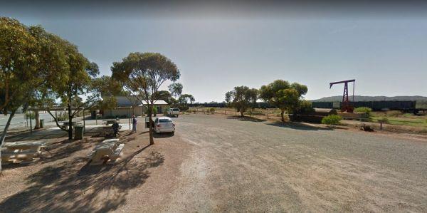
Walk to the undercover information boards at the Yunta Rest Area, or cross the road to have a bite to eat in the Hotel. Entrance to the Yunta Rest Area Yunta Rest Area location map
,
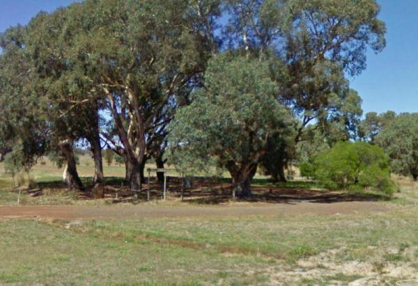
Yuppeckiar Park Rest Area 20 Hour Limit
Entrance to the Yuppeckiar Park Rest Area Yuppeckiar Park Rest Area location map
, , ,
The Zonhoven Park Rest Area is just a hop step and a jump from the Burnett River if your into fishing, perhaps a short walk to the Big Orange is more your thing. (About 400 metres up the road.)
You will hear some noise from passing trucks at night and th ...
Read More...
, , , , , , ,