Pet Friendly Sites

Travelling with your Dog in South Australia
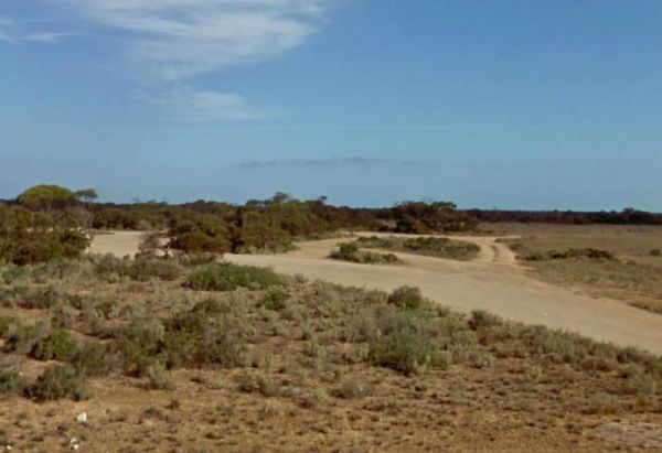
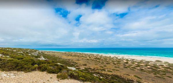
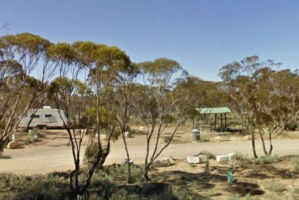
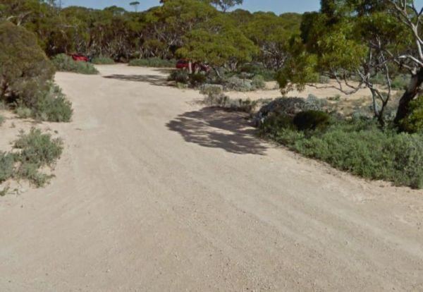
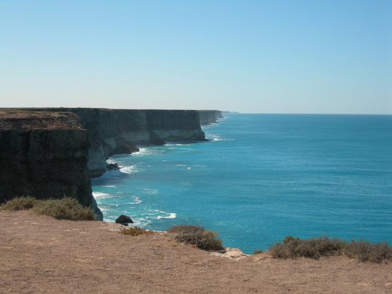
South Australia has some Dog Friendly Free Camping, Rest Areas, and Caravan Parks to camp at.
We have compiled a list, to help make it easy for you to find the perfect one for you and your pet.
Results 1 - 10 of 229
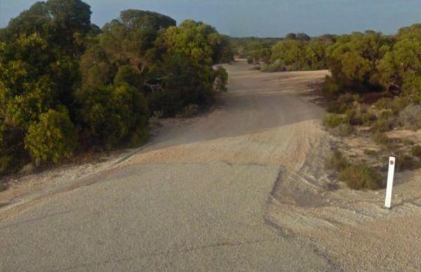

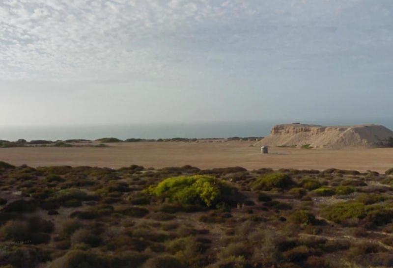
12 Mile Dam Rest Area
Eyre Highway, Gilles Downs, 5600, South Australia
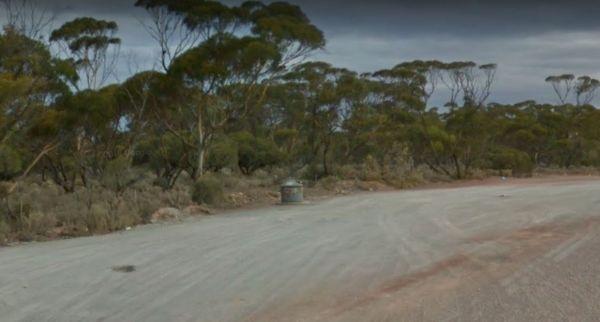
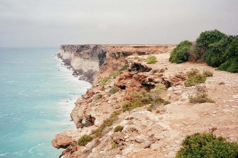
157k Peg Rest Area
Eyre Highway, Border Village, 5690, South Australia
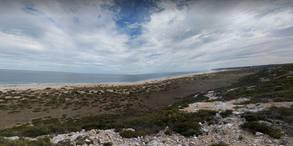
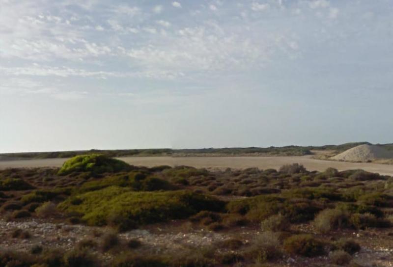
164k Peg Rest Area
Eyre Highway, Border Village, 5690, South Australia
Page 1 of 23