Directory: Recently Added Listings
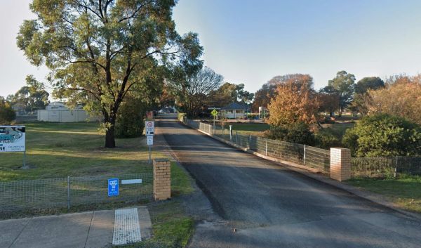
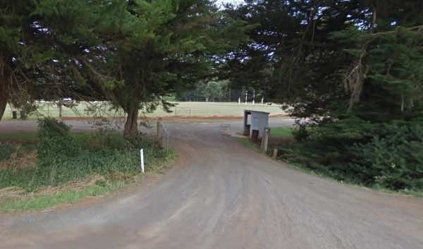
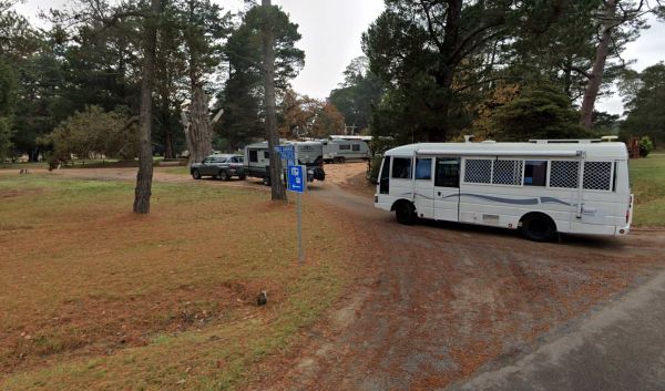
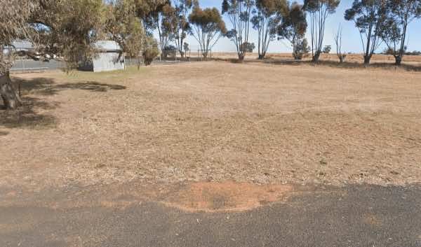
The Willaura Recreation Reserve offers a budget-friendly and welcoming camping experience in a bushland setting.
It provides both powered and unpowered sites suitable for tents, camper trailers, motorhomes, caravans, and big rigs. The reserve is known f ...
Read More...
 ,
,  ,
,  ,
,  ,
,  ,
, 

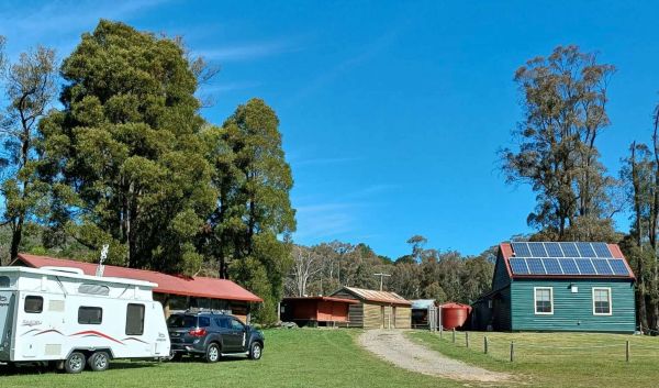
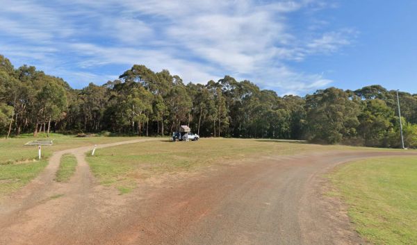
The Whorouly Recreation Reserve offers a tranquil and spacious setting for camping and recreation. Situated in a peaceful rural environment, it's a popular spot for those seeking a quiet getaway or a base to explore the surrounding region. The reserve fea ...
Read More...
, ,  , ,
, ,  , ,
, ,
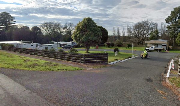
Whittlesea Showgrounds
The Whittlesea Showgrounds is a large, multi-purpose facility that hosts the annual Whittlesea Show, along with various other events throughout the year. While primarily known for these events, it occasionally offers camping for specific occasions, such ...
Read More...
, , , , ,
The Underbool Recreation Reserve offers budget-friendly camping in a relaxed, rural setting. It provides both powered and unpowered sites and is a convenient stop for travellers exploring the Mallee region. The reserve is located near the town and offers ...
Read More...
, , , , 
Tungamah Lions Park is a welcoming and free campground and RV park situated on the picturesque banks of the Boosey Creek. It is run by volunteers and prides itself on being a clean and pet-friendly location, accommodating tents, caravans, RVs, and mobile ...
Read More...
, , ,  , ,
, ,  , , , , ,
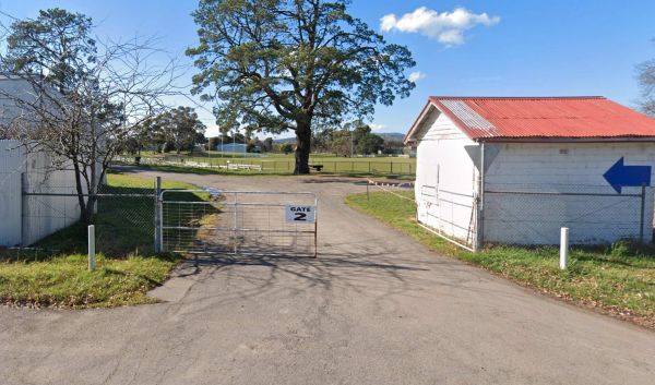
The Trentham Sports Ground Reserve serves as a central point for the local community, proudly hosting the Trentham District Football Netball Club and the Trentham District Cricket Club. It's a versatile area catering to organised sports events as well as ...
Read More...
Tolmie Recreation Reserve: Your Guide to Camping and Exploring
Tolmie Recreation Reserve, nestled in the natural surrounds of Tolmie, Victoria, offers a relaxed camping experience with essential facilities and proximity to the region's attractions.
Faci ...
Read More...
, ,  , , , ,
Timboon Recreation Reserve, located in Timboon, Victoria, offers a convenient spot for camping and provides access to local amenities and the stunning attractions of the Great Ocean Road region.
Facilities
The Timboon Recreation Reserve provides a range ...
Read More...
, , , ,
Terang Community Caravan Park
Located in the charming town of Terang in regional Victoria, the Terang Community Caravan Park offers a convenient and relaxed base for travellers exploring the area, particularly the beautiful Western District and the nearby volcanic Lakes and Craters re ...
Read More...
, , , , , ,
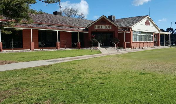
Hill Top Golf & Country Club is a well-regarded sporting and social hub nestled in Tatura, within the Goulburn Valley region of Victoria, Australia. The club is perhaps best known for its challenging golf course but also offers other amenities and ser ...
Read More...
,  , ,
, ,
Tarnagulla Recreation Reserve
Tarnagulla Recreation Reserve offers a tranquil camping experience in the heart of Victoria's historic goldfields. Please note that powered sites are not available at this reserve; camping is unpowered only.
Facilities:
The reserve provides essential am ...
Read More...
, , ,  , , , ,
Tallangatta Showgrounds
The Tallangatta Showground, located in Tallangatta, Victoria, serves as an expansive rural camping area offering a tranquil retreat for visitors. It is situated within easy walking distance of the Tallangatta town centre, providing convenient access to lo ...
Read More...
, , , , , ,
Talbot Recreation Reserve offers a rural camping experience in the historic goldfields region of Victoria. It serves as a convenient base for visitors wishing to explore the local area and its history.
Facilities: The reserve provides a range of faciliti ...
Read More...
, , , ,  , , ,
, , ,  , ,
, ,
Smythesdale Gardens
Smythesdale Public Gardens, located in Smythesdale, Victoria, is a public reserve that offers camping facilities. It is known for being a community-managed space that provides a convenient and often free or low-cost stop for travellers, particularly those ...
Read More...
, , , , , , , ,
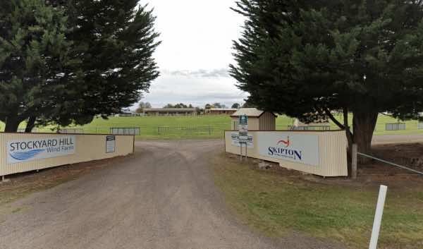
Skipton Recreation Reserve offers camping facilities and is known as a convenient and often low-cost place to stay in the town of Skipton, Victoria.
Facilities:
The reserve provides essential amenities for campers:
Toilets
Power access (limited powe ...
Read More...
, ,
The Skipton Golf & Bowls Club offers camping for self-contained vehicles, providing a relaxed stopover option.
Camping is available by donation: Donations can be placed in envelopes provided near the clubroom's front door, with a note indicating it i ...
Read More...
, , , ,
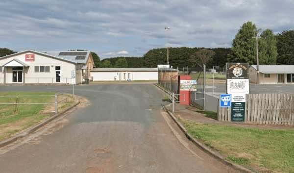
Simpson Recreation Reserve Camping
Note: Must book in advance. 0428363604 or 0408034359.
Facilities:
Toilets and showers
Drinking water
Power hookups
Dump point
Pets allowed (must be controlled)
Suitable for caravans, big r ...
Read More...
, , , , , ,
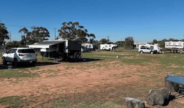
Serviceton Recreation Reserve and Campground
Serviceton Recreation Reserve and Campground offers a tranquil camping experience just one kilometre south of the township of Serviceton in Victoria, Australia. Utilising standard English spelling, the campground is situated within the recreation reserve, ...
Read More...
,
Sebastian Racecourse & Recreation Reserve, located at 23 Vogele Road, Sebastian VIC 3556, offers a budget-friendly camping option with a focus on community support. This reserve functions as a locally maintained campsite, situated on an active trottin ...
Read More...
, , , ,
Sea Lake Recreation Reserve Caravan Park offers convenient and well-equipped accommodation in the heart of Sea Lake, Victoria, making it an excellent base for exploring the unique natural attractions and art installations of the Mallee region. Located on ...
Read More...
, , , , , ,