List Categories and Listings by S
The Shadbolts Picnic Area well maintained and with toilets and picnic tables. Very quiet and some great walks to be had here. This is not the best setup for caravans to park here.
 ,
, 
The Sharps Track Camping Area is a nice spot with some very friendly birds. This campground has 6 official campsites, some are so small it's better for small campervans, than a car with a tent pitched next to it..
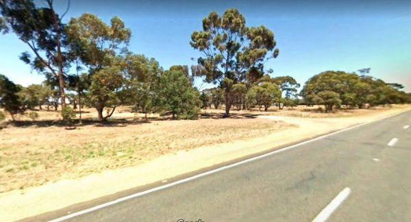
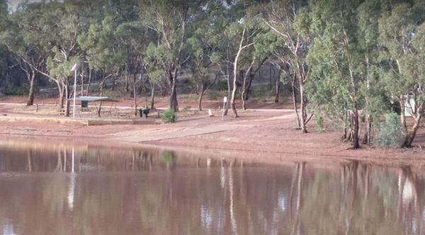
Sheepwash Lagoon Rest Area

Sheepyard Flat Camping Area
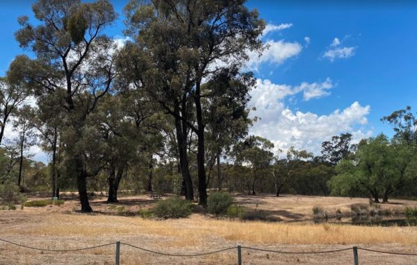
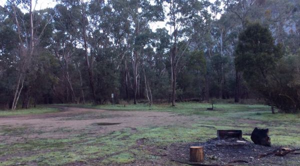
The Sheepyard Flat Camping Area is a lovely quiet and relaxing campsite that has plenty of grassy areas to choose from on the banks of the Howqua River. For the fishermen amongst us, the river seems to only hold carp, but I could be wrong. To get to the c ...
Read More...

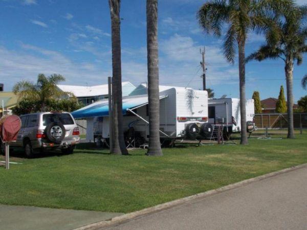
Silver Sands Tourist Park


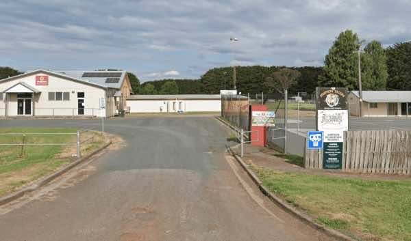
Simpson Recreation Reserve Camping
Note: Must book in advance. 0428363604 or 0408034359.
Facilities:
Toilets and showers
Drinking water
Power hookups
Dump point
Pets allowed (must be controlled)
Suitable for caravans, big r ...
Read More...
,  ,
,  ,
,  ,
,  ,
,  ,
, 

Skenes Creek Beachfront Park


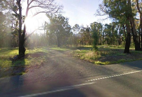
Skinners Flat Rest Area
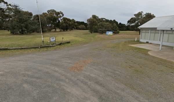
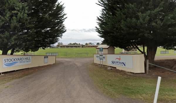
The Skipton Golf & Bowls Club offers camping for self-contained vehicles, providing a relaxed stopover option.
Camping is available by donation: Donations can be placed in envelopes provided near the clubroom's front door, with a note indicating it i ...
Read More...
, , , , 
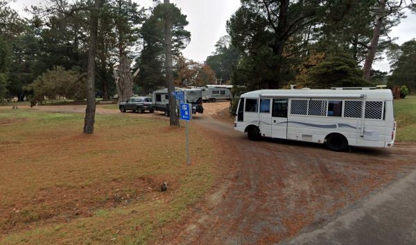
Skipton Recreation Reserve offers camping facilities and is known as a convenient and often low-cost place to stay in the town of Skipton, Victoria.
Facilities:
The reserve provides essential amenities for campers:
Toilets
Power access (limited powe ...
Read More...
, ,
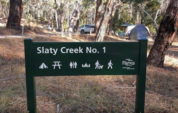
Slaty Creek Campground No1
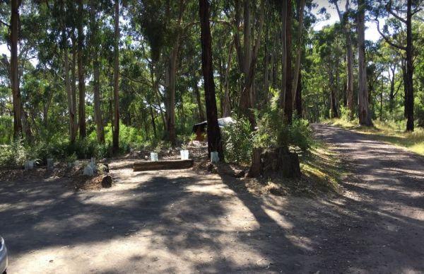
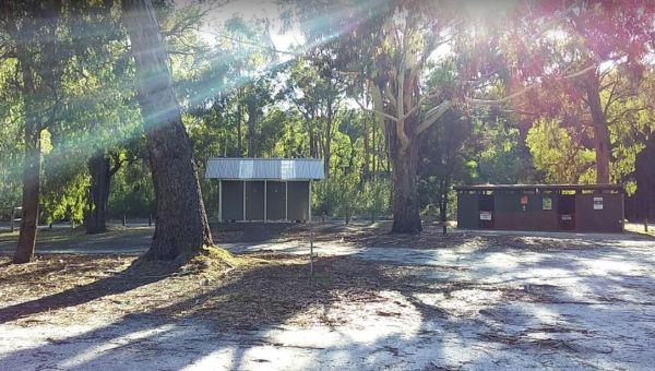
The Slaty Creek Campground No1 has a public long drop toilet, fire pits with bbq, picnic tables and quite a few places to camp at with your caravan. You will share this place with a few gold prospectors and a few motorbikes.
,  , ,
, ,
Slaty Creek Campground No2
The Slaty Creek Campground No2 is a nice place for an overnight camp, and it's only a 5 minutes walk to the toilets at Campground No1. This cam is best suited to tents and camper trailers, or small campervans.
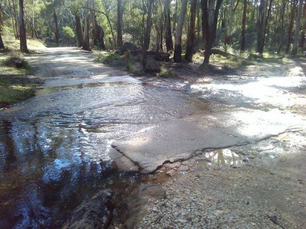
Note: The small creek has no water flowing i ...
Read More...
,
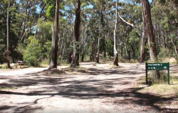
Slaty Creek Campground No3
To get the Slaty Creek Campground No3, it's best to drive in from the slaty creek road end as its an easier road. Some campsites have small concrete slabs for leveling your van. Campground No1 has a public toilet
,
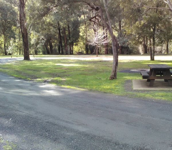
The Smiths Bridge Campground, is fairly close to the main road, but not to many cars at night so you can relax in amongst the tall trees, and take advantage of public toilets and the picnic facilities.
, , , ,
Smythesdale Gardens
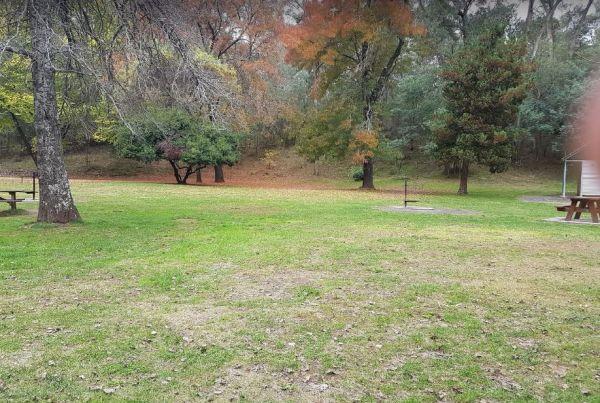
Smythesdale Public Gardens, located in Smythesdale, Victoria, is a public reserve that offers camping facilities. It is known for being a community-managed space that provides a convenient and often free or low-cost stop for travellers, particularly those ...
Read More...
, ,  , , , , , ,
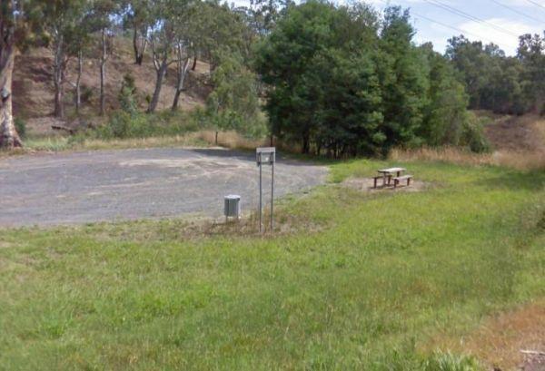
Smythesdale Park Rest Area
The Smythesdale Park Rest Area has room for caravans and motorhomes. There is a small fee charged for those interested in camping at the Park.
, , ,