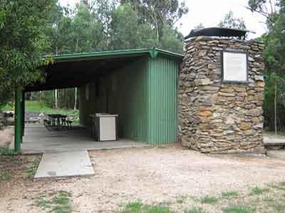
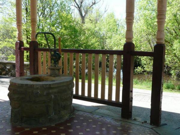
Facilities: BBQ
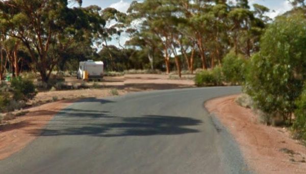
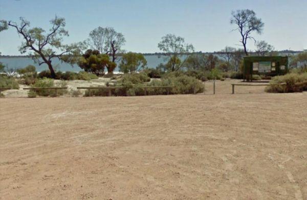
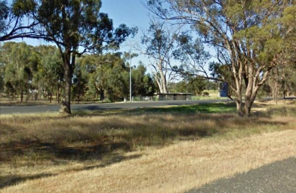
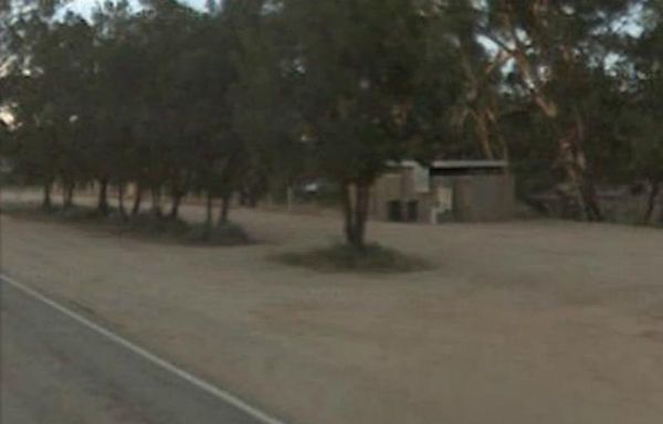
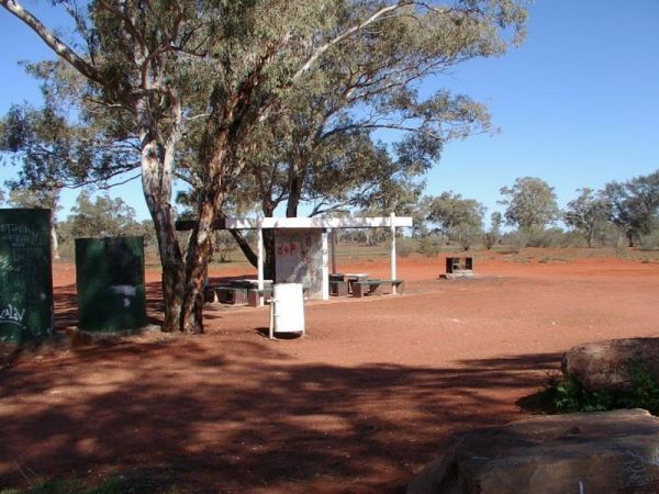
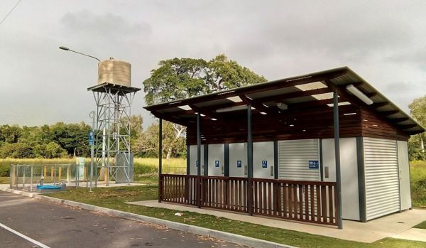
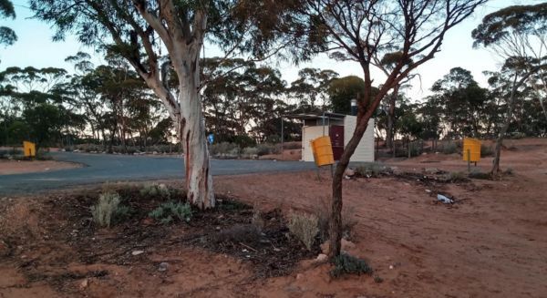
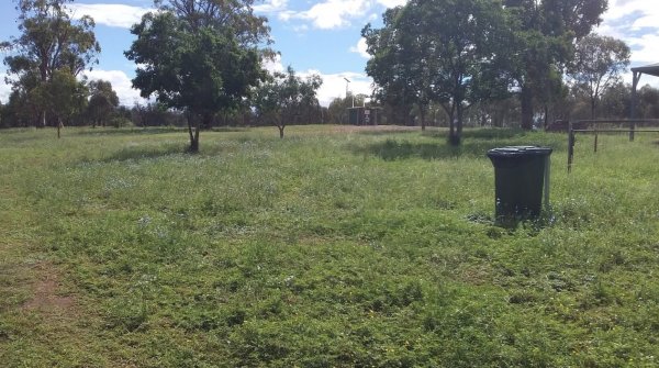
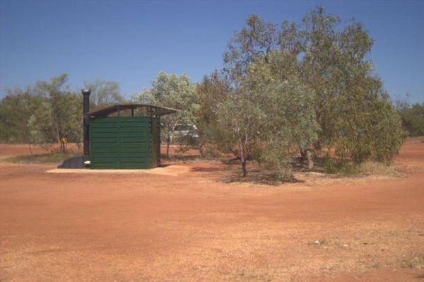
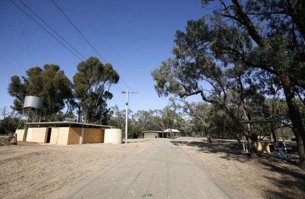
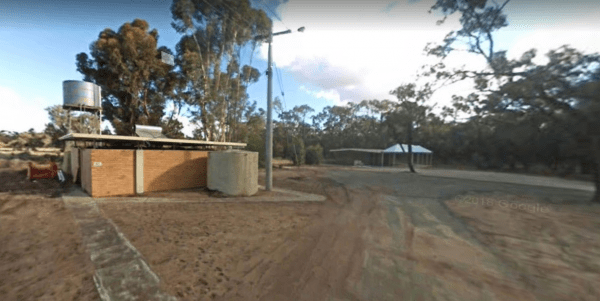
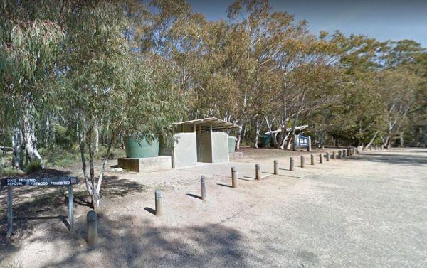
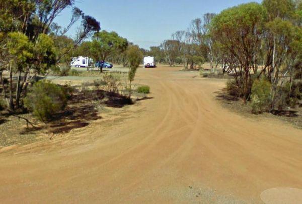
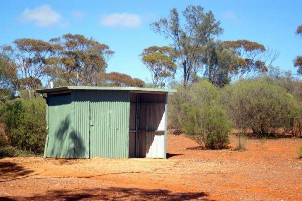
10 Mile Rocks Rest Area 24 Hour Limit
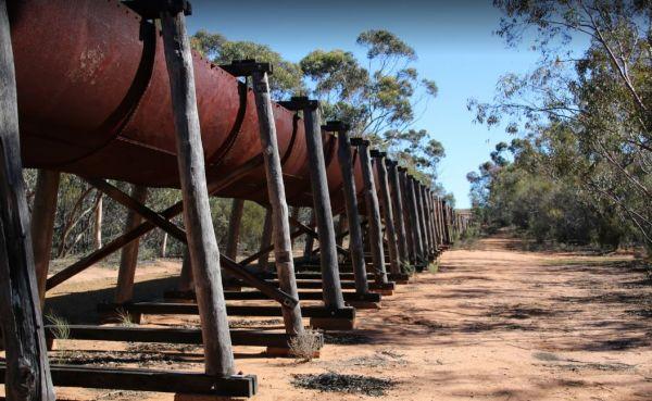
The 10 Mile Rocks Rest Area is set back a short distance from the Eyre Highway, on an asphalt section. There are plenty of shady spots on a level gravel surface just behind this rest spot, to park your caravan. There is a public toilet, solar heated showe ...
Read More...
 ,
,  ,
, 
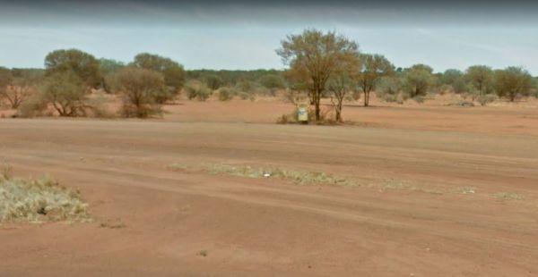
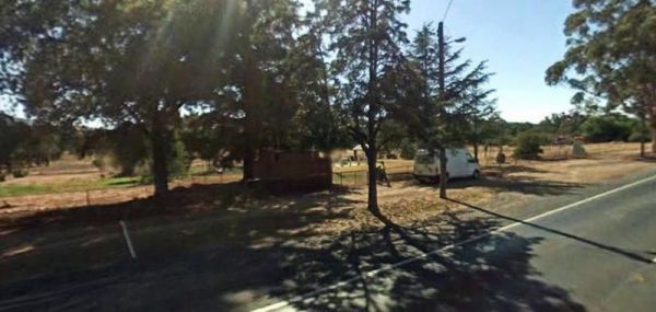
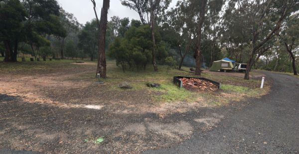
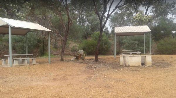
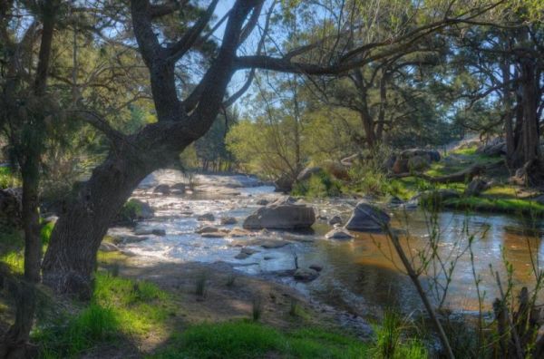
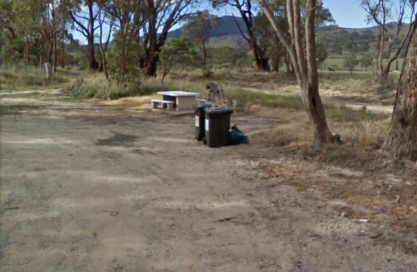
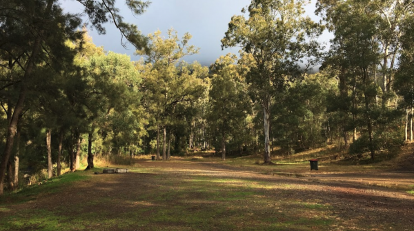
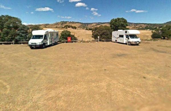
25 Mile Well Rest Area
The 25 Mile Well Rest Area has rubbish bins, and an undercover picnic table, and not much shade, all on reasonably level ground. This place has plenty of room to park your caravan or motorhome, just off the Great Northern Highway. This rest area is locate ...
Read More...
,  ,
,
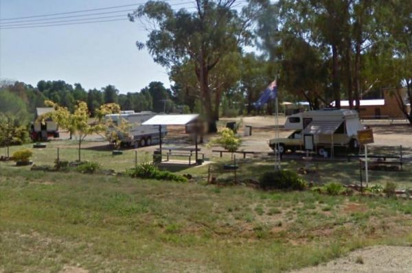
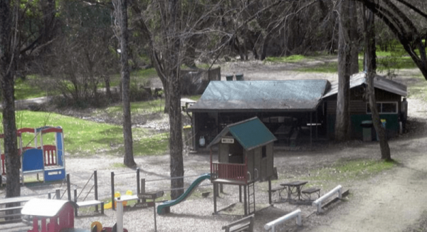
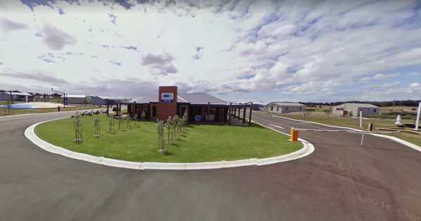
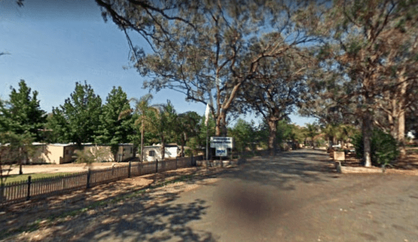
Entrance to the A Maze'N Things Holiday Park A Maze'N Things Holiday Park location map <
, ,  ,
,  ,
,  ,
,  ,
,  ,
,  ,
,  , ,
, , 
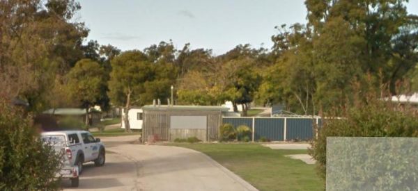
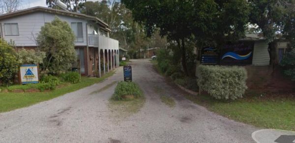
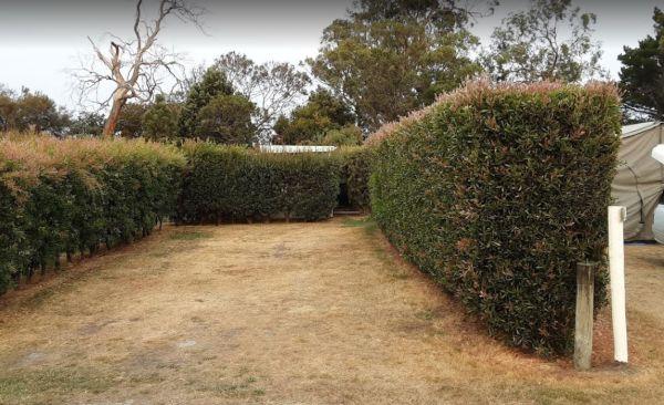
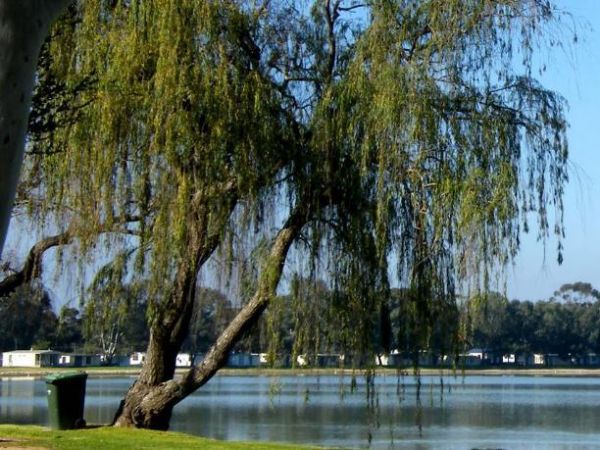
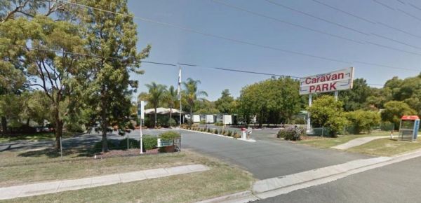
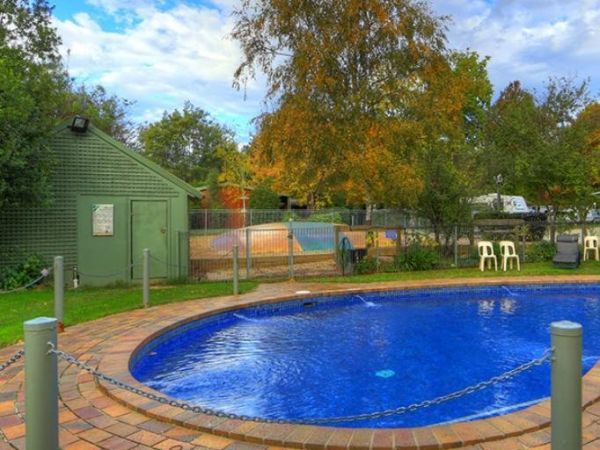
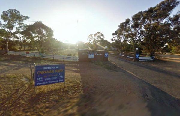
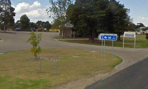
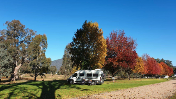
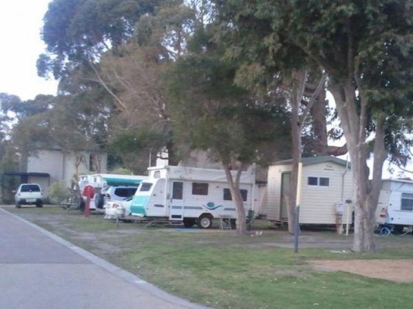
A-Line Holiday Park
{tab title="Local Places to Eat" class="grey"}
Red Pepper Cafe - Lansell Square, 267 High St, Kangaroo Flat
Jin Yang Chinese Restaurant, 180 High St, Kangaroo Flat
McDonald's Kangaroo Flat, 166-170 High St, Kangaroo Flat
Bee Yua ...
Read More...
, , , ,  , ,
, ,  ,
,  ,
, 
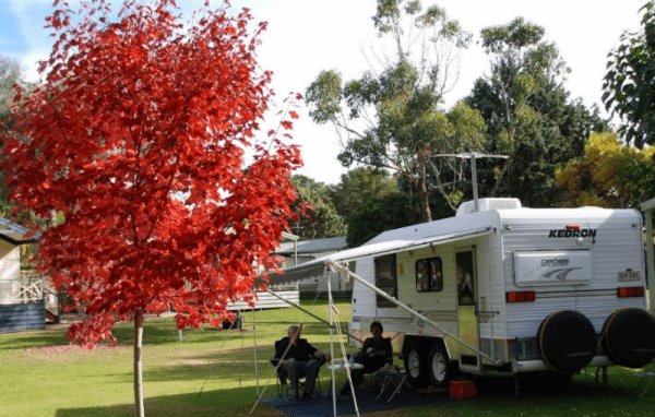
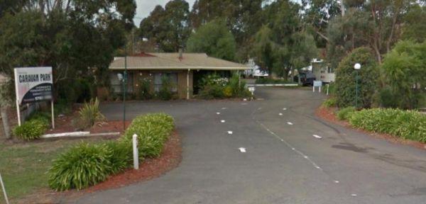
A'wangralea Caravan Park
Entrance to the A'wangralea Caravan Park A'wangralea Caravan Park location map
, , , , ,
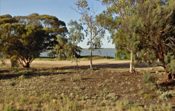
AAOK Lakes Resort & Caravan Park
Entrance to the AAOK Lakes Resort & Caravan Park AAOK Lakes Resort & Caravan Park location map
, , , , ,
The Abbotts Tank Rest Area has undercover picnic tables and wood fired bbq and some rubbish bins and a few trees for shade. So take break from driving and grab a bite to eat and chill out for a bit.
Entrance to the Abbotts Tank Rest Area
Abbotts Tank ...
Read More...
, ,
Abel Tasman Caravan Park
The Abel Tasman Caravan Park is an older style park, the unpowered campsite area is quite large with the beachfront protected from wind. The caravan park is close to where the boarding and disembarking occurs for the Spirit of Tasmania, so it's convenient ...
Read More...
, , , , , ,
Local weather forecast for Ararat, Victoria: Weather report Ararat
, , , , ,  , , , , ,
  ,
,
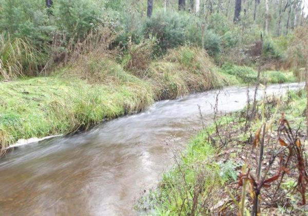
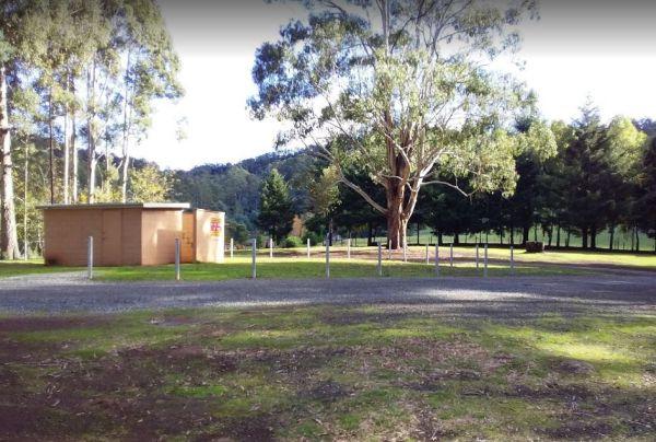
Ada River Camping Area
The Ada River Campground is isolated and quiet, and it's distance from the Princes Highway deters most overnight travellers. This campsite is set among tall gum trees with plenty of room for your caravan to spend a pleasant day or two. You have drop toile ...
Read More...
Entrance to the Agnes River Rest Area Agnes River Rest Area location map
,  , , ,
, , ,
The AH Youngs Camping Area has long drop toilets, and the Buckland River water is clear with plenty of places to swim. The campsite has large grassy areas to park your caravan, or pitch a tent. AH Youngs Camping Area location map
Aireys Inlet Holiday Park
Entrance to the Aireys Inlet Holiday Park Aireys Inlet Holiday Park location map
, , , , , , , , ,  ,
,
Entrance to the Airport Rest Area Airport Rest Area location map
, , , ,

Entrance to the Alexandra Tourist Park Alexandra Tourist Park location map
, , , , , , , ,
Alexandra Visitor Information Centre is next to the Rotary Park that has free electric bbq's, picnic tables, rubbish bins, children's playground etc.
Open 7 Days: 9.00 to 5.00pm daily
Entrance to the Alexandra Visitor Information Centre
Alexandra Vis ...
Read More...
, ,
Entrance to the Alice Springs Tourist Park Alice Springs Tourist Park location map
, , , , , ,  , , ,
, , ,

Very good pool area for young children, other activities include a recreation room, tennis court, cycling, basketball, volleyball and more.
Not suitable for Camper trailers that need to hammer pegs into the ground
Entrance to the Alivio Tourist Park ...
Read More...
,  ,
,  , ,
, ,  ,
,  , , , ,
  , , , , ,
  ,
,  , , ,
, , ,
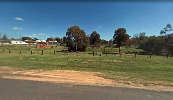
Allans Flat Reserve
Allans Flat Reserve is just a short distance off the main road. The turn-off is easy to miss. Walk around the lake, enjoy the surrounding countryside' sit back and Relax.This lake was created by barge mining during the 1850s to 1890's in the quest for Gol ...
Read More...
, ,
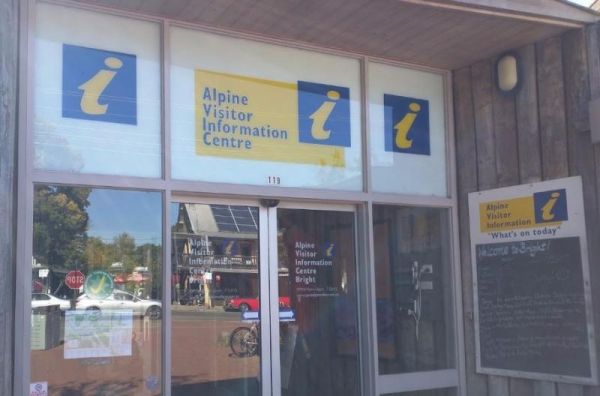
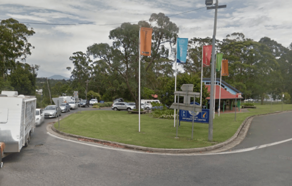
The Alpine Visitor Information Centre is located in the township of Bright and open seven days a week (excluding Christmas day). Entrance to the Alpine Visitor Information Centre Alpine Visitor Information Centre location map
, , ,  , ,
, ,
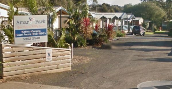
Entrance to the Amaroo Park Amaroo Park location map
, , , , , , ,
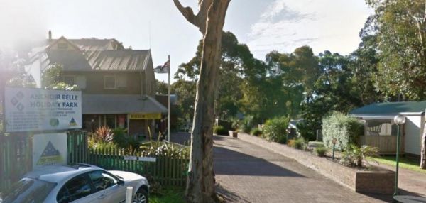
Entrance to the Anchor Belle Holiday Park Anchor Belle Holiday Park location map
, , , , ,  , , , , ,
Andersons Garden Camping Area
The Andersons Garden Camping Area, the toilets are as clean as a drop toilet can be. There are a lot of mud tracks and roads to explore. There is a nice little creek for the kids to paddle in. The campground is now boarded off so you won't be able to get ...
Read More...
Anglers Rest Campground Area
When stopping at the Anglers Rest Camping Area, is the first of many river access areas from Anglers Rest. There is a drop toilet, with not a lot of level ground to camp at, but you can walk over to the Blue Duck Inn for a bite to eat.
Entrance to the An ...
Read More...
Entrance to the Anglesea Beachfront Family Caravan Park Anglesea Beachfront Family Caravan Park location map
, , , , , , ,  , , ,
, , ,  ,
,  , ,
, ,  , ,
, ,  , , , , ,
Entrance to the Anglesea Holiday Park BIG4 Anglesea Holiday Park BIG4 location map
, , , , ,  , , , , , , ,
Entrance to the Anglesea Lions Park Reserve Rest Area Anglesea Lions Park Reserve Rest Area location map
, , , , ,
Apex Caravan Park
Entrance to the Apex Caravan Park Apex Caravan Park location map
, , , , ,
Entrance to the Apex Club Caravan Park - Leongatha Apex Club Caravan Park - Leongatha location map
, , , , ,
Entrance to the Apex RiverBeach Holiday Park Apex RiverBeach Holiday Park location map
, , , , , , , , , ,
Apollo Bay Holiday Park
Entrance to the Apollo Bay Holiday Park Apollo Bay Holiday Park location map
, , , , ,

Apollo Bay Pisces Holiday Park Big4
Entrance to the Apollo Bay Pisces Holiday Park Big4 Apollo Bay Pisces Holiday Park Big4 location map
, , , , , , ,
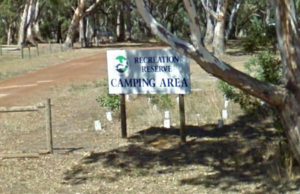
Apollo Bay Recreation Reserve
Entrance to the Apollo Bay Recreation Reserve Apollo Bay Recreation Reserve location map
, , , , , ,
The Apsley Rest Area is a rather small area, so be wary if you decide to drive in with your large caravan behind you. Entrance to the Apsley Rest Area Apsley Rest Area location map
, ,
The Araluen Creek campground is a secluded camping spot with plenty of flat grassed ground, two public toilets, tank water, rubbish bins and is a nice quiet spot to enjoy a break from driving. Walk over to the creek "it's a seasonal flow" and have a walk ...
Read More...
, , , ,

The Archers Crossing Camping Area (Southside) has mobile phone reception and some fireplaces, bbqs and picnic tables and some shade trees located on the banks of the Condamine River. You might like to pop your kayak into the river and try to catch a fish ...
Read More...
, , , , ,
Ariah Park Campground
This is an inexpensive place to stay, power is available, a camp kitchen plus you can get a hot shower. When pitching a tent or awning ropes take note that the ground is hard so you need strong pegs and a good hammer.
Entrance to the Ariah Park Campgroun ...
Read More...
, , , , , ,
Entrance to the Armidale Tourist Park Armidale Tourist Park location map
, , , , , , ,
Arrowsmith Rest Area
The Arrowsmith Rest Area, has a a few small trees for shade, a public toilet, fireplaces with bbq, undercover picnic tables and rubbish bins. It's located on a gravel surface just off the Brand Highway. No Overnight Camping Permitted This is strictly a Re ...
Read More...
, , , ,
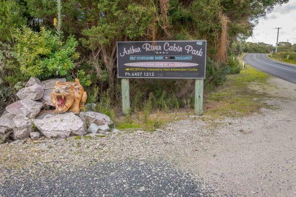
Arthur River Cabin Park
Entrance to the Arthur River Cabin Park Arthur River Cabin Park location map
, ,
Arve River Picnic Area is a rather nice spot for a picnic, it's situated on the bank of the Arve River, just off the main road and in amongst the forest, with roughly 4 parking spots if you're in a campervan. There are picnic tables, flushing public toile ...
Read More...
, , , , ,

Ascot Holiday Park BIG4
Entrance to the Ascot Holiday Park BIG4 Ascot Holiday Park BIG4 location map
, , , , , , , , , , , , , , ,

Entrance to the Ashley Gardens BIG4 Ashley Gardens BIG4 location map
, , , , , , , , ,
Entrance to the Atkinson Park Rest Area Atkinson Park Rest Area location map
, , ,
Attack Creek Rest Stop
Attack Creek Rest Stop has some history attached to this place, and there is a cairne plaque dedicated to John McDouall Stuart and party on what occurred on 25th June 1860 an it's well worth reading. There is plenty of room to park with a few trees for sh ...
Read More...
, , , ,
Entrance to the Austin Tourist Park Austin Tourist Park location map
, , , , , , , ,
Avoca Lions Park has free Camping overlooking the Avoca River its a beautiful place to stop and unwind. The kids can play on the playground and you can sit by and cook dinner on the Barby, or have a crack at fishing in the nearby Avoca River.
Entrance to ...
Read More...
Avondel Caravan Park
Entrance to the Avondel Caravan Park Avondel Caravan Park location map
, , , , , , ,
The Baan Hill Reserve Picnic Area is a popular spot for the 4x4 enthusiasts not far from the Ngarkat Conservation Park HIstoric site. Baan Hill Reserve Picnic Area location map
, , , ,
The Babinda Rotary Park Campground has picnic tables, rubbish bins and a toilet block a blackwater dump point next to it, there is also a potable water tap in the shower room. The park is on the banks of the Babinda Creek with plenty of room to park all s ...
Read More...
, , , , , , ,
The Baden Park Rest Area has plenty of parking spaces, long drop toilet, wood fired bbq, undercover picnic table with rubbish bins and tank water. There's really not a lot to do here, apart from taking a break from driving, and contemplate how hard it was ...
Read More...
, , , , ,
Baileys Rocks Camping Area is a great camping spot, it's isolated and secluded, with a very rough corrugated road leading in. There are picnic tables and some fire pits plus public drop toilets. This is a shady forest campsite, amongst huge trees and inte ...
Read More...
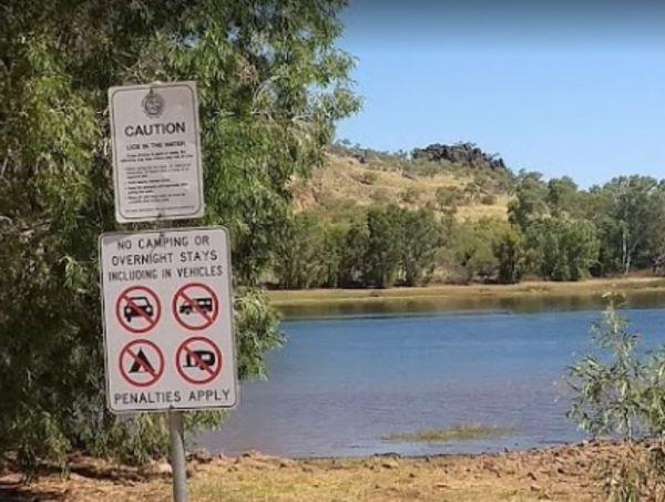
The maximum number of stays at any of the Balgal Beach Foreshore Reserve Camping Area sites is once per week. Council officers routinely visit camping areas to check on how long people have stayed. If it is found that campers are not complying with this p ...
Read More...
, , ,
The maximum number of stays at any of the Balgal Beach Foreshore Reserve Camping Area sites is once per week. Council officers routinely visit camping areas to check on how long people have stayed. If it is found that campers are not complying with this p ...
Read More...
, , ,
The Ball Bay Foreshore Reserve Camping Area has an electric bbq, and hot water sink, clean toilets, outside cold showers, bins, right on the edge of the Coral Sea. Local Council Attendants visit daily to collect fees. Contact: Mackay Regional Council on 1 ...
Read More...
, ,
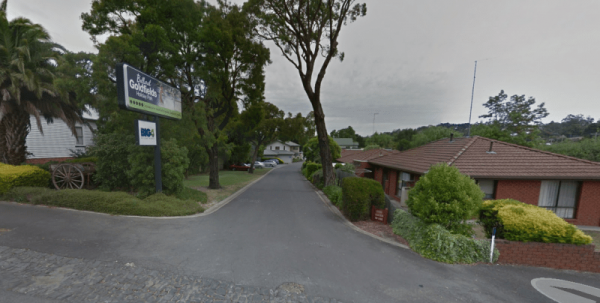
Entrance to the Ballarat Goldfields Holiday Park Big4 Ballarat Goldfields Holiday Park location map
, , , , , , , , , ,
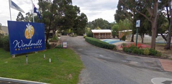
Entrance to the Ballarat Windmill Holiday Park BIG4 Ballarat Windmill Holiday Park BIG4 location map
, , , , , , , , , ,
Entrance to the Balmattum Rest Area (Northbound) Balmattum Rest Area (Northbound) location map
, , , ,
The Barbour Park is a beautiful place by the river and plenty of room to park your caravan. There are free bbqs, toilets & hot showers, and swimming pool accross the road and you can walk to the main shopping centre on the Old Hume Highway, and spend ...
Read More...
, , , , , ,
Entrance to the Barham Caravan & Tourist Park. Barham Caravan & Tourist Park location map
, ,  , , , , , , ,
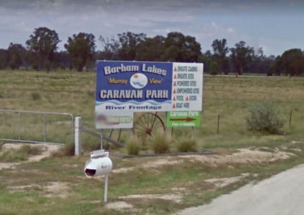
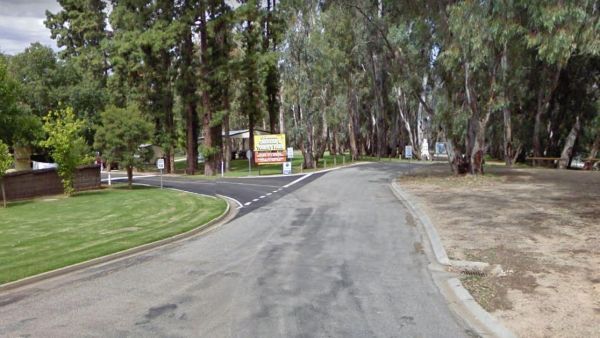
Entrance to the Barham Lakes Caravan Park Barham Lakes Caravan Park location map
, , , , , , , , , , , , ,
Entrance to the Barilla Holiday Park Barilla Holiday Park location map
, , , , , , ,
If staying overnight at Barmedman Mineral Pool Rest Area you can visit the mineral pool which is spacious and salty. There are shower facilities to wash away the salt after your dip, or have bbq.
Minimum Camping Fees apply, and a small fee for the shower ...
Read More...
, , ,
Entrance to the Barmera Apex Park Rest Area Barmera Apex Park Rest Area location map
, , , , ,
The Barraba Lions Park Rest Area is a credit to the Lions and Shire council. This is pleasant little area adjacent the main road, offering a bit of shade and covered picnic tables, bbqs and long drop toilets.
Entrance to the Barraba Lions Park Rest Area ...
Read More...
, , , , , ,
The Barradale Rest Area has a few picnic tables, rubbish bins, and plenty of level space just off the North West Coastal Highway. Be careful if you decide to go further off the rest area in wet weather, you might get bogged and have to wait for the ground ...
Read More...
, , ,
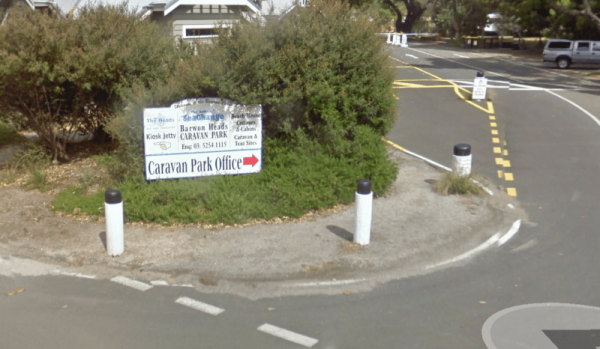
Barwon Heads Caravan Park
Entrance to the Barwon Heads Caravan Park Barwon Heads Caravan Park location map
, , , , , , ,

Entrance to the Batchelor Holiday Park
, , , , , , ,
Entrance to the Beach Park Tourist Caravan Park Beach Park Tourist Caravan Park location map
, , , , , , , , ,
Beacon Resort BIG4
Entrance to the Beacon Resort BIG4 Beacon Resort BIG4 location map
, , , , , , , , , , , , ,
Beardy Waters Rest Area
The Beardy Waters Rest Area is a quite area and room for your caravan with some shady trees to park under, and quite close to the River. There is undercover picnic tables and fireplace base bbqs, and you can drop a line in or have a paddle in your Kayak w ...
Read More...
, , , , ,
Beardy Waters Woodland Park Rest Area
Please Note: Beardy Waters Woodland Park is intended to be a Rest Area Only, and strictly day use for picnics, bush walking, fishing, etc.
No Overnight Camping of any type is permitted.
Entrance to the Beardy Waters Woodland Park Rest Area
Beardy Wat ...
Read More...
, , , ,
Beau Morton Park Rest Area
From the Beau Morton Park Rest Area you can take a stroll along edge of Racecourse lake, maybe throw a line in just for fun, you never know... they might be on the bite, or you could take the kayak of the the roof rack and have a paddle.
Entrance to the ...
Read More...
, , , ,
Beauty Point Tourist Park
Entrance to the Beauty Point Tourist Park Beauty Point Tourist Park location map
, , , , ,
Beechworth Holiday Park
Entrance to the Beechworth Holiday Park Beechworth Holiday Park location map
, , , , , , , , , , ,
Beechworth Lake Sambell Caravan Park
Entrance to the Beechworth Lake Sambell Caravan Park Beechworth Lake Sambell Caravan Park location map
, , , , , , , , , , , ,
Bellarine Holiday Park BIG4
Entrance to the Bellarine Holiday Park BIG4 Bellarine Holiday Park BIG4 location map
, , , , , , , , , , , ,
Entrance to the Bellingen Shire Tourist Information Centre Bellingen Shire Tourist Information Centre location map
, , ,
Entrance to the Bemboka Rest Area Bemboka Rest Area location map
, , , , , , ,
Bemm River Caravan Park
Entrance to the Bemm River Caravan Park Bemm River Caravan Park location map
Entrance to the Benalla North Truck Parking Rest Area (Northbound) Benalla North Truck Parking Rest Area (Northbound) location map
, , ,
At the Benaraby Public Campgrounds there are cold showers available, tap water, a public toilet, picnic tables, bbqs, some rubbish bins and you can get phone reception here.
Entrance to the Benaraby Public Campgrounds
Boyne River Rest Area location ma ...
Read More...
, , , , , , ,
Entrance to the Holiday Haven Bendalong Holiday Haven Bendalong location map
, , , , , , , , ,
The Bendemeer Park Rest Area is located next to the Watson Creek quite a nice place to pull over and relax a bit. Note: No Camping Permitted Entrance to the Bendemeer Park Rest Area Bendemeer Park Rest Area location map
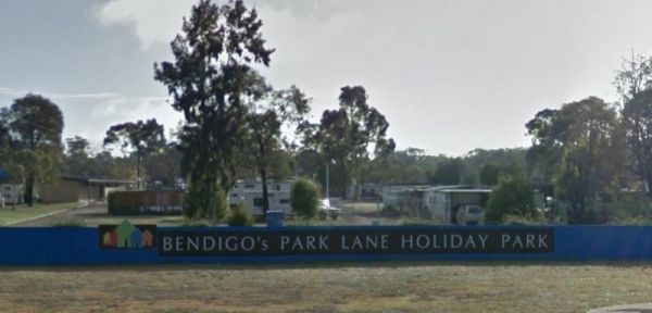
Entrance to the Bendigo Park Lane Holiday Park Bendigo Park Lane Holiday Park location map
, , , , , , , , , , , , , ,
Bents Basin Campground has nice open areas, lots of areas to setup a tent, caravan, camper trailer or for a day visit. Lots of areas to choose a campsite, there are fire pits, clean toilets with hot showers too. The Nepean River is close by if you want to ...
Read More...
, , , ,
Best Friend Holiday Retreat
Entrance to the Best Friend Holiday Retreat Best Friend Holiday Retreat location map
, , , , ,
From the Bethune Park Camping Area you can go Fishing, Boating, Kayak, and walks along the lake shore are all available from this popular spot. Entrance to the Bethune Park Camping Area Bethune Park Camping Area location map
, , , , ,
The Bethungra Rest Area is a short walk along the Olympic Hwy, to the Old Bethungra Hotel and remember to take your camera with you. Entrance to the Bethungra Rest Area Bethungra Rest Area location map
, , ,
The Bicentennial Gardens Rest Area has a public toilet, tap water, undercover picnic tables and rubbish bins and plenty of space to park your rig, and close to the Aldi Supermarket, so take advantage and stock up on supplies (GPS -28.850545,153.553775)
E ...
Read More...
, , ,
Entrance to the Bicheno Caravan Park & Takeaway Food Bicheno Caravan Park & Takeaway Food location map
, , , , , ,
The Big Spring Creek Rest Area is a good overnight location to stop prior to entering into the Bungles, so this place can get pretty crowded at times. There are Public Long Drop Toilets, undercover picnic tables, and bbq facilities and some trees for shad ...
Read More...
, , , ,
Bimbi Park
You will literally be camping with koalas, kangaroos and possums, the campsites are set amongst Coastal Gum trees on nice grassy areas. This place has lots of things to keep the little ones busy, there's even some chickens and horses onsite. You will find ...
Read More...
, , , ,
At the Binalong Rest Area you can take a swim in the swimming pool, have a BBQ or let the kids play on the playground, perhaps take a stroll along the streets and checkout the neighbourhood.
Entrance to the Binalong Rest Area
Binalong Rest Area locati ...
Read More...
, , , , ,
The Bindoon Hill Rest Area Bindoon Hill is situated northeast of Mount Byroomanning and this rest area is located on both sides of the Great Northern Highway. There is a public toilet, picnic tables, fireplace with bbqs, and some trees for shade with room ...
Read More...
, , ,
The Binjour Range Rest Area is a rather pleasant spot, set back from the main road in amongst tall trees, with no noise from passing traffic. This is a nice spot to stay overnight, with relatively level ground, a public toilet, undercover picnic tables an ...
Read More...
, , ,
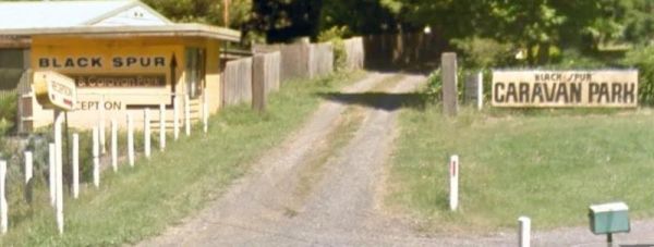
Black Spur Motel & Caravan Park
Permanently Closed Entrance to the Black Spur Motel & Caravan Park Black Spur Motel & Caravan Park location map
, , , , , ,
The Black Stump Mundubbera Rest Area is a nicely set up rest area, it has flushing toilets, good water, internet, a free camp kitchen with plenty of tables, seats and a children's playground.
Entrance to the Black Stump Mundubbera Rest Area
Black Stum ...
Read More...
, , ,
Entrance to the Blackbutt Reserve Blackbutt Reserve location map
, ,
Entrance to the Blackwood Mineral Springs Caravan Park Blackwood Mineral Springs Caravan Park location map
, , , , ,
The Blandford Rest Area has a public toilet block, undercover picnic tables and rubbish bins, plus there are fixed BBQ fireplaces scattered around also. The road is a bit on the tight side for large rigs, so you might want to check it out first before com ...
Read More...
, , , , ,
Note: The hut interior has only an open fireplace and picnic table, so you will need to bring all your supplies with you. To stay at the Blue Range Hut Recreation area, Bookings are essential, as you will not be able to get inside the locked gate unless y ...
Read More...
, , , ,
Entrance to the Bluegums Riverside Holiday Park Bluegums Riverside Holiday Park location map
, , , , , , , , , , ,
Bluff Rock Lookout is an impressive rock feature with a sad Aboriginal story of a massacre that took place in 1884. There is room to park your caravan, long drop toilets, bbqs, undercover picnic tables and rubbish bins, and a pretty creek with some nice r ...
Read More...
, , , ,
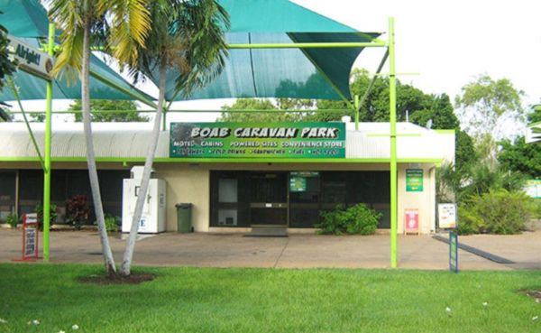
Boab Caravan Park
Entrance to the Boab Caravan Park Boab Caravan Park location map
, , , , , ,
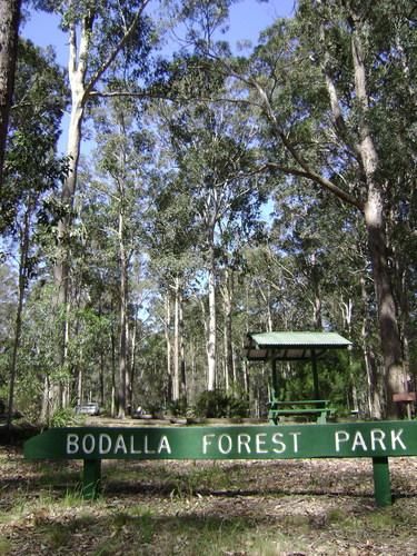
Bodalla Park Rest Area is an awesome spot, great facilities and close to town, and good for caravans and camper vans. There are also some large flat gravel sites to accommodate large caravans and car, and plenty of nice grassy areas to pitch tents. Long d ...
Read More...
, , , ,
At the Bombay Reserve Camping Area, small caravans or camper trailers are best suited for this spot. It's about 100 metres or so to the Shoalhaven river for those fishing enthusiasts out there, which is a bit too far and difficult to carry the kayak.
It' ...
Read More...
The Bonnie Vale Campground has powered and unpowered sites suitable for tents, trailers, and caravans.Located btw Bundeena and Maianbar at the Royal National Park, Swimming, kayaking and fishing are all perfect in these waters.
Note: This campsite can ge ...
Read More...
, , , ,
Entrance to the Boort Lakes Holiday Park Boort Lakes Holiday Park location map
, , , , ,  , , , , , , , , , , ,
Entrance to the Borderland Caravan Park BIG4 Borderland Caravan Park BIG4 location map
, , , , , , , , , , , , , , , , , ,
Entrance to the Bororen Memorial Park Rest Area Bororen Memorial Park Rest Area location map
, , ,
Entrance to the Bottle Bend Forest Reserve Picnic Area Bottle Bend Forest Reserve Picnic Area location map
, , , , ,
Bouldercombe Park Rest Area
When at the Bouldercombe Park Rest Area be sure to pop into the Pub which is directly opposite the park, and grab a meal or cold drink to help you on your way. Entrance to the Bouldercombe Park Rest Area Bouldercombe Park Rest Area location map
, , , ,
Boundary Bend East Park Rest Area
Boundary Bend East Park Rest Area has a public toilet and is a nice spot alongside the Murray River to kill a few hours. Entrance to the Boundary Bend East Park Rest Area Boundary Bend East Park Rest Area location map
, , ,
Boundary Falls Campground has quite a few walking tracks to choose from, with long drop toilets, fire places with camp oven stands. The Falls are just a short stroll from the camping ground, with a crystal clear swimming hole at base of falls
Boundary Fa ...
Read More...
, , , ,
Bourkes Bend State Forest Camping Area
Bourkes Bend State Forest Camping Area location map
The Bowna Rest Area has a public toilet, some undercover picnic tables and BBQ facilities plus a few rubbish bins Entrance to the Bowna Rest Area Bowna Rest Area location map
, , ,
Bramston Beach Campground
The Bramston Beach Campground is Council Run and Bookings are made direct to the Caretakers. Ph: Caretaker on (07) 4067 4121 Entrance to the Bramston Beach Campground Bramston Beach Campground location map
, , , ,
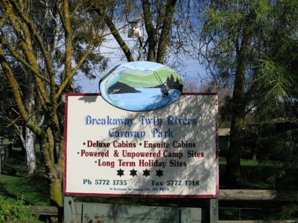
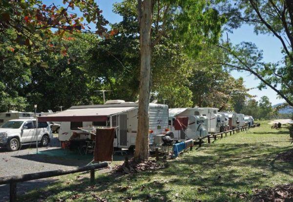
Breakaway Twin Rivers Caravan Park location map
, , , , , , , , , ,
The Breelong Rest Area has some rubbish bins, bbq facilities along with undercover picnic tables here and some small trees offering some shade from the sun. Entrance to the Breelong Rest Area Breelong Rest Area location map
, ,
Brewarrina Rest Area
The Brewarrina Rest Area is a beautiful little spot down near the old lift span bridge in Brewarrina. There are lots of room for caravans and campers to set up camp at, but access could be boggy if rains. There are undercover picnic tables, a fitness gym, ...
Read More...
, , , , , ,
Brickmakers Beach Rest Area
The Brickmakers Beach Rest Area is a nice day rest area, with the beach only a short distance from the car park area. I believe it's a bit too rocky for fishing on the left hand side, but you are welcome to prove me wrong. My preference is over off the sa ...
Read More...
, , , , ,
Bridgewater on Loddon Tourist Park
Entrance to the Bridgewater on Loddon Tourist Park Bridgewater on Loddon Tourist Park location map
, , , , , , , ,
Entrance to the Bright Accommodation Park Bright Accommodation Park location map
, , , , , , , , , ,
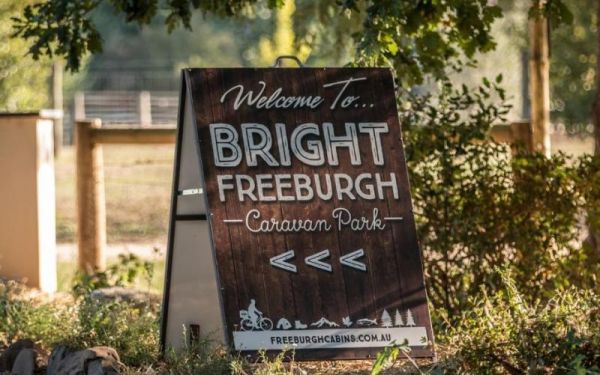
Entrance to the Bright Freeburgh Caravan Park Bright Freeburgh Caravan Park location map
, , , , , , , , , , , ,
Entrance to the Bright Pine Valley Tourist Park Bright Pine Valley Tourist Park location map
, , , , , , , , , , , , ,
Brooms Head Caravan Park
Entrance to the Brooms Head Caravan Park Brooms Head Caravan Park location map
, , , , , , ,
Buckety Plain Camping Area is a great campsite and not far from the Bogong High Plains road. There is abundant open space where you can pitch tents, or set up a camper trailer. At this campsite you'll find picnic tables and fireplaces along with a single ...
Read More...
, ,
Budj Bim Campground is a lovely place to stay with the treat of flushing toilets and warm water showers, picnic tables and bbq, located in the Mount Eccles National Park in Victoria, Australia, 270 km west of Melbourne, and is located inside the national ...
Read More...
, ,
The Bulla Park Rest Area has plenty of room to park your caravan with some small trees for shade. There is an undercover picnic table, wood fired bbq facilities and rubbish bins. This is a located in a desolate countryside, don't wander too far away from ...
Read More...
, , ,
Bunyip River Rest Area
The Bunyip River Rest Area Set back a short distance from the Princes Freeway, you can let the kids run without fear of them getting run over. Entrance to the Bunyip River Rest Area Bunyip River Rest Area location map
, , , , ,
Entrance to Burdett Park Burdett Park Location Map
, ,
The Burnt Bridge Camping Area is an amazing place, with easy access to the river, good for fishing. There are 2 separate drop toilets, one in the main area, and the other further down the towards the end of Burnt Bridge.
Most of the camping areas are of ...
Read More...
Burracoppin Centenary Park
The Burracoppin Centenary Park has flushing public toilets, some shade trees, undercover picnic tables, bbqs, water taps and just across from the Tavern where you can grab a cold drink to help wash away the dust. This park is on the corner of Great Easter ...
Read More...
, , , , ,
Burrill Lake Park Rest Area
Entrance to the Burrill Lake Park Rest Area Burrill Lake Park Rest Area location map
, , , , ,
Entrance to the Bushlands Holiday Village and Caravan Park Bushlands Holiday Village and Caravan Park location map
, , , , , , ,
Bushy Parker Park Rest Area 48 Hour Limit
The Bushy Parker Park Rest Area has flushing public toilets and a blackwater dump point, water taps connected to town water, picnic tables, bbqs next to a beautiful creek. The local store and police station are just down the road. Understandably this is a ...
Read More...
, , , , , , ,
Entrance to the Calder Tourist Park Calder Tourist Park location map
, , , , , , , , ,
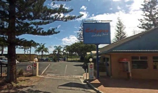
Entrance to the Calypso Holiday Park Calypso Holiday Park location map
, , , , ,
Entrance to Camp Crusty Eldorado Camp Crusty Eldorado location Map
, , , , ,
Water is limited at the Campaspe River Rest Area, the river runs at trickle in the river most times, and it's worth the time to walk over and take a peek. This location is quite a popular rest area, so expect company if you decide to stay overnight.
Entr ...
Read More...
, , , ,
Entrance to the Canberra South Motor Park Canberra South Motor Park location map Local weather forecast for the Symonston area of ACT: https://www.willyweather.com.au/act/canberra/symonston.html
, , , , ,
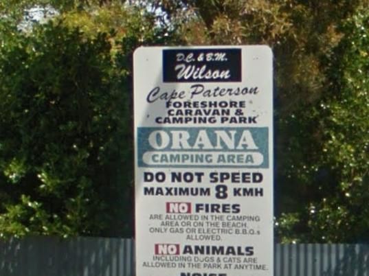
Cape Paterson Foreshore Caravan Park
Entrance to the Cape Paterson Foreshore Caravan Park Cape Paterson Foreshore Caravan Park location map
, , , , , , , , ,
Entrance to the Capital Country Holiday Park Capital Country Holiday Park Location Map
, , , , , , , , , , ,
Carrum Downs Holiday Park
Entrance to the Carrum Downs Holiday Park Carrum Downs Holiday Park location map
, , , , , , , , ,
The Casterton Visitor Information Centre the Racecourse Road turn off is not far from the Glenelg River. Once your here there are a few picnic tables and BBQ facilities at your disposal.
Open Hours: 9.00am to 5.00pm everyday
Entrance to the Casterton Vi ...
Read More...
,
Castlemaine Central Cabin Van Park
Entrance to the Castlemaine Central Cabin Van Park Castlemaine Central Cabin Van Park location map
, , , ,
Castlemaine Gardens Caravan Park
Entrance to the Castlemaine Gardens Caravan Park Castlemaine Gardens Caravan Park location map
, , , , , , , , , , , , ,
The Casuarina Sands Reserve is a really great place to swim in freshwater then have a bbq, and undercover picnic tables, then use the public toilets. This picnic area is located on the banks of the mighty Murrumbidgee River.
Entrance to the Casuarina San ...
Read More...
Cavendish Recreation Reserve Camping Area has Power available along with Hot Showers. (Thanks goes to Mike Wright for this updated information.) Important: Due to Covid-19 All campers must be fully self contained (Toilet, Shower, cooking etc) until furthe ...
Read More...
The Chapman Valley Rest Area has a few trees for shade, undercover picnic tables, undercover bbq facilities, public toilet block, rubbish bins, and it's set back on a large gravel surface, with plenty of space to park the largest caravan.
Entrance to the ...
Read More...
, , ,
Chiltern Park Rest Area has a short walk to some historic Gold diggings and an undercover bbq, picnic tables and public toilet, with plenty of room to park your caravan.
Entrance to the Chiltern - Ironbark Rest Area
Chiltern - Ironbark Rest Area locat ...
Read More...
, , , ,
At the Chinaman Creek Dam Recreation Park you should keep an eye open for freshwater crocodiles in the dam, take your kayak for a spin and a camera in case something pops up out of the water with big teeth, or try your hand at fishing.
NO CAMPING PERMITT ...
Read More...
, , , ,
Chinchilla Weir Camping Area
While at the Chinchilla Weir Camping Area you will enjoy hearing hardly any traffic noise, as the main camping area is set well away from the road. Approx 8 powered sites - donation can be made at tourist info centre for power. Drop the kayak and go for a ...
Read More...
, , , , ,
The Claude Wharton Weir Park is busy in the morning with locals taking a walk, nice boat ramp and plenty of opportunities to get your line wet, it's well worth a peek.
NO CAMPING PERMITTED
Entrance to the Claude Wharton Weir Park
Claude Wharton Weir ...
Read More...
, , , , ,
Cloncurry Visitor Information Centre
Open hours:Monday to Friday 8.30am - 4:30pmWeekends & Public Holidays 9am – 4.30pmMay to end of October 9am – 2pmClosed Christmas Day, Boxing Day & New Years Day
The highest recorded temperature for Cloncurry ...
Read More...
, , ,
Entrance to the Clunes Caravan Park Clunes Caravan Park location map
, , , , , , ,
The Coach Road Rest Area is a Popular Truck overnight rest area so expect to have plenty of company if you decide to stay here. Entrance to the Coach Road Rest Area Coach Road Rest Area location map
, , ,
Entrance to the Coachman Tourist Park Coachman Tourist Park location map
, , , , , , , , , ,

Entrance to the Coalfields Caravan Park Coalfields Caravan Park location map
, , , , , , , , ,
Entrance the the Cobram East Caravan Park Cobram East Caravan Park location map
, , , , , , , , , , ,
Entrance to the Cobram Willows Caravan Park Cobram Willows Caravan Park location map
, , , , , , , , , , ,
Cockburn River Camp Area the rivers water level can be anything from a bunch of pools to a trickle, so make sure you have brought sufficient drinking water with you, if you intend to stay a few days. Cockburn River Camp Area location map
, , , ,
Entrance to the Cohuna Waterfront Holiday Park Cohuna Waterfront Holiday Park location map
, , , , , , , , , , , , , , , , ,
Colac Colac Caravan Park
Entrance to the Colac Colac Caravan Park Colac Colac Caravan Park location map
, , , , , , , , , ,
Entrance to the Colombo Park Colombo Park location map
, , , , ,
At the Condamine Park you can let the kids enjoy the slide and a bit of a run around, while you checkout the Condamine River nearby, or walk over to the Pub and grab a meal or cool drink. Entrance to the Condamine Park Condamine Park location map
, , , , ,
Coo-Ee March Memorial Park is a good rest stop option along the Newell Highway. Some shady trees, covered picnic tables and benches and public toilet and rubbish bins, next to the historical society building.
Entrance to the Coo-Ee March Memorial Park ...
Read More...
, , , ,
Coochin Creek Camping Area
Coochin Creek Camping Area is a flat, grassy area beside Coochin Creek, ideal for visitors who enjoy fishing and boating and there is also a boat ramp available. Entrance to the Coochin Creek Camping Area Coochin Creek Camping Area location map
, , , , ,
The Cooinda Reserve Poppet Head Mine Rest Area is a a short walk to the Old mining Poppet Head and get your photo taken next to it. There are bbq facilities, undercover picnic tables and rubbish bins, with plenty of room to park your caravan.
Entrance to ...
Read More...
, ,
Entrance to the Cooloola Caravan Park Cooloola Caravan Park location map
, , , ,
The Coonalpyn Soldiers Memorial Caravan Park is an older style park, but everything thing you need is available here, and very reasonably priced.
Entrance to the Coonalpyn Soldiers Memorial Caravan Park
Coonalpyn Soldiers Memorial Caravan Park locatio ...
Read More...
, , , , , , ,
Coonawarra Bush Holiday Park
Entrance to the Coonawarra Bush Holiday Park Coonawarra Bush Holiday Park location map
, , , , , , ,
Coopernook Forest Park Camping Area
The Coopernook Forest Park Camping Area has some nice large grassy areas to pitch a tent or park your caravan. Coopernook Forest Park Camping Area location map
, , ,
The Cooyar Swinging Bridge Park is set well back from the main road. If you need power, walk over to the Pub and grab the key for a small fee. Entrance to the Cooyar Swinging Bridge Park Cooyar Swinging Bridge Park location map
, , , , ,
Coronation Beach Campground
The Coronation Beach Campground is a lovely little spot with drop toilets, shower cubicles, covered eating areas, rubbish bins and a small playground. There is a protected beach with outer reef, fishing, diving and snorkelling are pretty good here.
This ...
Read More...
, , , , , , ,
The Cotter Campground is located on the banks of the Cotter River with access to fishing, swimming and quite a bit of wildlife including emus and kangaroos, and there are walking tracks available. This campsite has bbs, fireplaces, potable water, hot show ...
Read More...
Cotton Tree Creek Camping Area is a beautiful campground! Quite, peaceful, and good facilities. For those of you who enjoy short walks, the Granya Falls (seasonal waterfalls) is about a one Kilometre walk away from here. Plus there is also another 5k walk ...
Read More...
, ,
Entrance to the Cowell Park Rest Area Cowell Park Rest Area location map
, , ,
Entrance to the Cowes Caravan Park Cowes Caravan Park location map
, , , , , , , ,
If stopping at the Crawford Creek Rest Area take a rest, and stretch the legs, use the public toilets, or have bbq and picnic at one of the tables, or simply have a yawn or two, and that pretty well sums up this spot.
Entrance to the Crawford Creek Rest ...
Read More...
, , ,
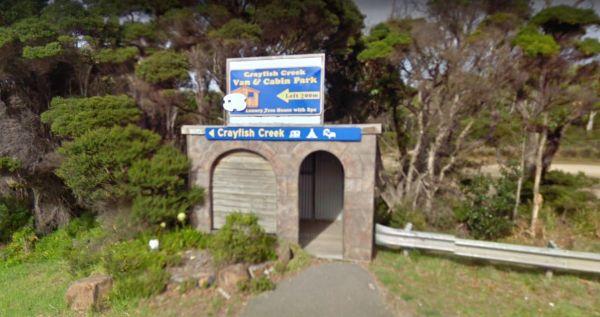
Crayfish Creek Van and Cabin Park
The Crayfish Creek Van and Cabin Park has good facilities and they have an after hour phone number available plus an on site manager 24 hours a day. Entrance to the Crayfish Creek Van and Cabin Park Crayfish Creek Van and Cabin Park location map
, , , , , , , , ,
CRB Camping Area
CRB Camping Area is close to the Cobungra River, so have a go at fishing or swimming, and for the more adventurous, grab your kayak and navigate upstream a bit. h3>CRB Camping Area location map
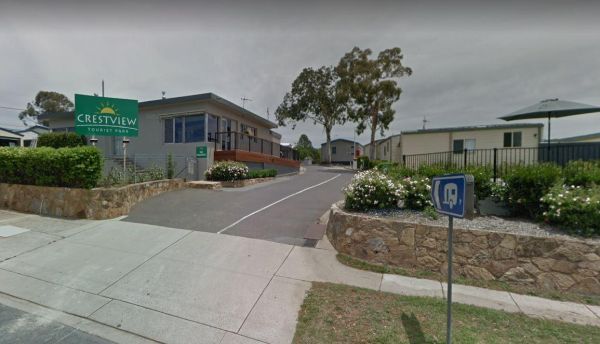
Entrance to the Crestview Tourist Park Crestview Tourist Park Location Map
, , , , , ,
Entrance to the Creswick Calembeen Lake Caravan Park Creswick Calembeen Lake Caravan Park location map
, , , , , , , ,
Crooked Creek Rest Area
The Crooked Creek Rest Area, the reek is clean & running, trails to meander along. Lots of birdlife and is a secluded and large area, with plenty of room to choose a campsite from, there are suitable areas for your solar panels to keep you going for a ...
Read More...
, , , ,
Crows Nest National Park Camping Ground
The Crows Nest National Park Camping Ground, has allocated campsites and there some nice walking tracks to explore, with a few more difficult for those younger. There are thirteen sites, mostly flat with wood fired barbecues (byo wood) and drop toilets. T ...
Read More...
, ,
Crystal Brook Holiday Centre
Entrance to the Crystal Brook Holiday Centre Crystal Brook Holiday Centre location map
, , , , , , , , , , , , ,
Entrance to the Culgoa South Rest Area Culgoa South Rest Area location map
, , ,
Entrance to the Cumberland River Holiday Park Cumberland River Holiday Park location map
, , , , ,
Entrance to the Currarong Beachside Holiday Park Currarong Beachside Holiday Park location map
, , , , , , , , ,
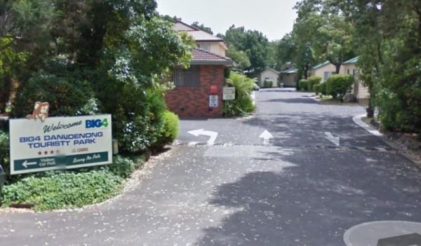
Dandenong Tourist Park Big4
Entrance to the Dandenong Tourist Park Big4 Dandenong Tourist Park Big4 location map
, , , , , , , , , , , ,
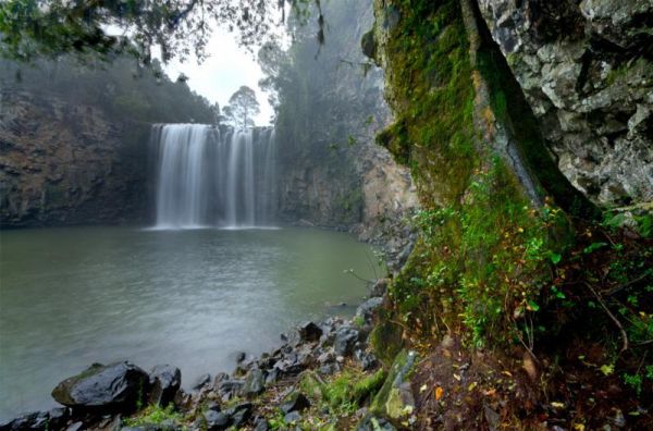
The Dangar Falls Picnic Area has a great photographic opportunity in almost any direction, as long as you're pointing at the waterfall hahaha. It's easy walking along the boardwalk.
Entrance to the Dangar Falls Picnic Area
Dangar Falls Picnic Area loc ...
Read More...
, , , , , ,
Dangars Gorge campground
Dangars Gorge campground has public toilets, undercover picnic tables, wood fireplaces with bbq facilities, wood is supplied, and there are some nice places for your caravan to park. Dangars Gorge campground location map
, ,
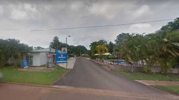
Entrance to the Discovery Parks - Darwin Map Location to the Discovery Parks - Darwin
, , , , , , , ,
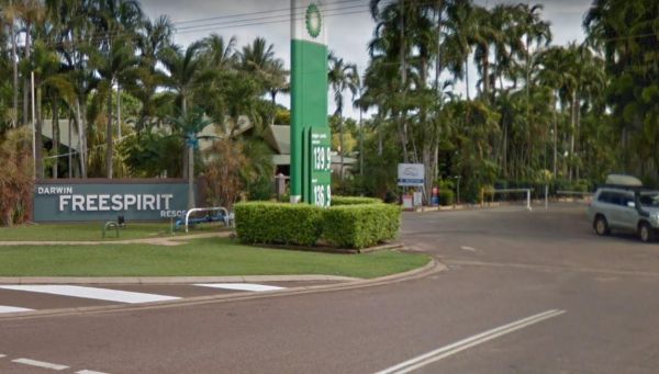
Entrance to the Darwin Freespirit Resort Darwin Freespirit Resort location map
, , , , , , , ,
At the David Hall Rest Area you take a break, and have a picnic in the covered tables area, there is no shade here, so don't think you can stay in your van during the day, you'll cook. There is a Monument to Engineer David Hall located here.
Entrance to ...
Read More...
, ,
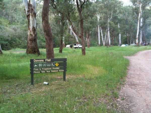
Davons Flat Camping Area
The Davons Flat Camping Area is a beautiful spot alongside the Howqua River and hugely popular. It is part of the Howqua Hills Historic area and just next door to Sheepyard Flats another very popular camping area. This area was used for gold mining, so if ...
Read More...
Daylesford Victoria Caravan Park
Entrance to the Daylesford Victoria Caravan Park Daylesford Victoria Caravan Park location map
, , , , , , , ,
The Delegate River Camping Area and is a beautiful little campground with approximately 6 suitable areas to camp at. There are fire pits with bbq plates, a long drop toilet. As the name suggests, this camping ground is next to the Delegate River, so don't ...
Read More...
Depot Beach Campground
Entrance to the Depot Beach Campground Depot Beach Campground location map
, , , ,
The Derby Park is set well back from the main road, with a river right next to your spot you have pulled over at. If you have a bike with you, ride over to Briseis Lake Entrance to the Derby Park Derby Park location map
, , , , , ,
Derrick VC Rest Area
While stopping at the Derrick VC Rest Area, is a good place for rest with trees for shade, public toilets with hand wash basin, undercover picnic tables, rubbish bins and tank water. Take a look at the Towrang Bridge, it's a Convict built bridge from a by ...
Read More...
, , , ,
Des Streckfuss Rest Area 24 Hour Limit
The Des Streckfuss Rest Area has public composting toilets, undercover picnic tables and bbq facilities. You can walk to the Gorge Creek, but the water levels will vary with the season, so it may or may not have any water in it, but take your camera anywa ...
Read More...
, , , ,
Entrance to the Diamond Head Campground Diamond Head Campground location map
, ,
Entrance to the Dimboola Riverside Caravan Park Dimboola Riverside Caravan Park location map
, , , , , , , ,
The Ditchfield Camping Area is a great campsite, it has drop toilet and hut with a fireplace. There are a few of the hiking trails that might be of interest. Ditchfield Camping Area location map
, , ,
The Dogwood Creek Rest Area is just a short walk to the creek to drop a line in and try your luck, or Pop the Kayak in and take it for a quick explore of the area. Entrance to the Dogwood Creek Rest Area Dogwood Creek Rest Area location map
, , , , ,
The Domblegabby Rest Area, has a fairly level gravel surface to park your caravan. There is a large undercover area and a few shade trees, and lots of rubbish bins. There is tank water here, so make sure you boil the water before drinking it.
Entrance to ...
Read More...
, , ,
The Donald Lakeside Caravan Park is a beautiful lakeside area with large sites and very clean amenities. There is an honesty box, and the caretaker drops in daily to collect for powered sites.
Entrance to the Donald Lakeside Caravan Park
Donald Lakesi ...
Read More...
, , , , , , , ,

Dongara East Rest Area is a large gravel area with some shade trees to park under. There are some picnic tables and rubbish bins at your disposal and is fairly close to the Midlands Road, so could be a bit noisy at times.
Entrance to the Dongara East Res ...
Read More...
, ,
Doon Reserve Caravan Park
Doon Reserve is a great place to come with your caravan or motorhome & to camp as a family, couple or individual..
You’ll enjoy great access to the Yarra as well as the beautiful surrounds including mountain views.
With Yarra Junction just minutes a ...
Read More...
, , , , , , , , , , , ,
Entrance to the Dromana Holiday & Lifestyle Village Dromana Holiday & Lifestyle Village location map
, , , , , , , , , ,
The Duaringa Campgrounds is a popular spot with very good amenities provided by the local council. You should pop a donation at the visitors centre, to help offset the cost of running the hot showers and free drinking water.
Entrance to the Duaringa Camp ...
Read More...
, , , , , ,

The Dublin Lions Park Rest Area does not offer a lot of shelter from the sun or road traffic noise, but it's a place to pull over and take advantage of the undercover picnic table.
Entrance to the Dublin Lions Park Rest Area
Dublin Lions Park Rest Are ...
Read More...
, , , ,
If your stopping at the Dululu Rest Area pop in to the Dululu Hotel for showers and power if needed, walk over to the Dee River and cast a line in to try and catch lunch. Entrance to the Dululu Rest Area Dululu Rest Area location map
, , , , , ,
Dumaresq Dam Recreation Area
The Dumaresq Dam Recreation Area is a beautiful, peaceful, atmospheric place to be with plenty of room to park, a children's playground, fireplaces with bbq facilities, good fishing and a few picnic tables and rubbish bins. Just be careful, and check for ...
Read More...
, , , , , ,
The Dundas Rocks Camping Area has some picnic tables in the shade, and fire pits with bbq and some rubbish bins. There is not a lot of level ground for any sort of camping. There are natural rock formations, the ruins of the town water supply, the town it ...
Read More...
, ,
The Dunham River Rest Area is a great spot for a short stopover, located on a large gravel area with some shady trees. There are public toilets with a black water dump point, undercover picnic tables and wood fired BBQ's. (Bring your own wood). Water leve ...
Read More...
, , , , ,
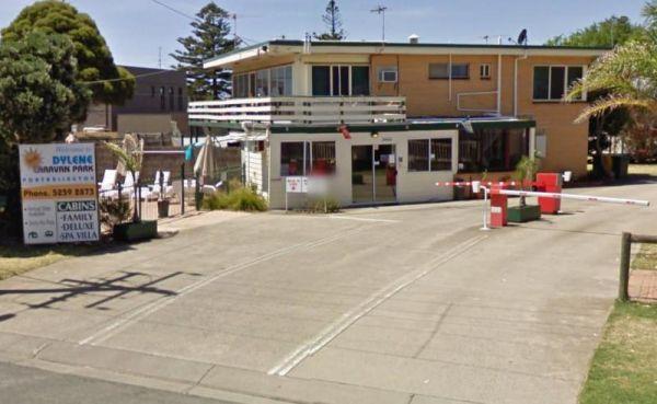
Dylene Caravan Park
Entrance to the Dylene Caravan Park Dylene Caravan Park location map
, , , , , , , , , , , ,
The Eadine Springs Rest Area is a good place to stop over for the night for motorhomes, caravans etc. There are some undercover picnic tables, wood fired bbqs, rubbish bins, and some shady trees to park under.
Entrance to the Eadine Springs Rest Area ...
Read More...
, , , , ,
Eagle Point Caravan Park
Entrance to the Eagle Point Caravan Park Eagle Point Caravan Park location map
, , , , , , , , ,
This is an older style caravan park, offers some of the cheapest accommodation options in the region, and is only a few minutes drive to the heart of the National Capital
It has a few facilities and a tennis court, plus a couple of drive through ensuite ...
Read More...
, , , , , , ,
Echo Beach Tourist Park
Entrance to the Echo Beach Tourist Park Echo Beach Tourist Park location map
, , , , , , , , , , , ,
Entrance to the Echuca Discovery Parks Echuca Discovery Parks location map
, , , , , , , , , , , , , ,
Entrance to the NRMA Echuca Holiday Park NRMA Echuca Holiday Park location map
, , , , , , , , , , , , ,
Entrance to the Edenhope Lakeside Tourist Park Edenhope Lakeside Tourist Park location map
, , , , , , , , , , , ,
Entrance to the Eildon Pondage Holiday Park Eildon Pondage Holiday Park location map
, , , , , , , , , , , , ,
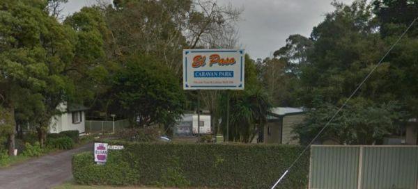
Entrance to the El-Paso Caravan Park El-Paso Caravan Park location map
, , , , , ,
Ellenborough Reserve Camping Area 14 Day Limit
The Ellenborough Reserve Camping Area is a nice grassy area where the Hastings and Ellenborough Rivers meet.
It's a rather nice spot to spend a few hours or days simply relaxing.
Entrance to the Ellenborough Reserve Camping Area 14 Day Limit
Ellenbor ...
Read More...
The Ellendale Pool Camping Area is an excellent peaceful camp over well worth the stop, bitumen road for most of the way and approximately 1.3km dirt road. It's incredibly affordable and has flushing toilets a Gas bbq, Rubbish Bins a shaded seating area. ...
Read More...
, , , , , , ,
Ellendale Rest Area 24 Hour Limit
The Ellendale Rest Area is gravel surface with no shade, set back approximately 300 metres from the main road. There are public toilets with a black water dump point, fireplaces, and undercover picnic tables with plenty of room to park your caravan or mot ...
Read More...
, , , , ,
Emmdale Roadhouse Camping Area is an oasis approx 100 k's east of Wilcannia, it's a good place to stop for a break. It's a roadhouse with camping and showers and toilets.
Fuel prices are very competitive
Entrance to the Emmdale Roadhouse Camping Area ...
Read More...
, , , ,
Entrance to the Erica Caravan Park Erica Caravan Park location map
, , , , , ,
The Escort Rock Rest Area is a nice little spot off the main road, with plenty of shade to be had. There are undercover picnic tables, fireplaces with bbq facilities, rubbish bins and a few tracks that lead into the scrub, but make sure you know where you ...
Read More...
, , , ,
FigTree Holiday Village
Entrance to the FigTree Holiday Village FigTree Holiday Village location map
, , , , , , , , , , , ,
Fishbone Flat Camping Area is a nice spot along the Arnold Creek, with a few fireplaces and no other facilities to grace this campsite. Fishbone Flat Camping Area location map
Flat Rock Camping Area is a nice spot with a decent amount of wildlife. Watch out for wallabies, roos and wombats on the side of the road if driving In the evening or night. Great campsite with lots of camping space to base yourself and go exploring from ...
Read More...
Foster North Scenic Lookout
The Foster North Scenic Lookout, there are undercover picnic tables and a few rubbish bins to make your break from driving rather pleasant. Entrance to the Foster North Scenic Lookout Foster North Scenic Lookout location map
, ,
The Fountain Springs Rest Area has flushing public toilets, and a water tap (The water is not suitable for drinking).You will find this is a popular spot so if you get there late, you might have a problem finding a place to park your caravan.
Entrance to ...
Read More...
, , , ,
Four Mile Reserve Camping Area
The Four Mile Reserve Camping Area is a great spot on the Barwon River, with flushing toilets, cold water showers and bbqs. This is a large campground with plenty of flat spots to park your caravan. There is a Jetty and a Boat Ramp, for those who like fis ...
Read More...
Frances Creek Rest Area
The Frances Creek Rest Area is surrounded by trees and sugar cane, has a public toilet and black water dump point, a bbq with picnic tables and rubbish bins near by. Entrance to the Frances Creek Rest Area Frances Creek Rest Area location map
, , , ,
Entrance to the Frank Lupino Memorial Park Frank Lupino Memorial Park location Map
, , ,
The Franklin River Reserve is close to the Franklin River, with wood BBQ's and picnic tables scattered around. Entrance to the Franklin River Reserve Campground Franklin River Reserve Campground location map
, , , , ,
The Frankston Visitor centre is next to an Award winning beach, located on Port Phillip Bay, and the Frankston pier is within easy walking distance for those who like fishing.Be sure to check out the locally made gifts and Souvenirs while your in the Fran ...
Read More...
, , , , ,
The Fraser Range Rest Area is an excellent overnight stop, with plenty of shaded and level camp spots to park your caravan, or motorhome. There is a long drop toilet with a black water dump point, undercover picnic tables, and rubbish bins.
Entrance to t ...
Read More...
, , , , ,
French VC Rest Area although there is loads of parking space, there's very little shade for you to park your caravan under. There are 2 long drop toilets with hand-wash basin, undercover picnic tables, tank water and fireplaces with bbq facilities.
Entra ...
Read More...
, , , ,
The Frenchmans Creek Camping Area is a really nice peaceful and quiet camping ground next to the Big River for fishing. There are lots of tracks to explore and heaps of spots to camp and the campsites are better suited to vehicle based camping rather than ...
Read More...
The Fullers Lane Rest Area is set back from the road it's a rather large area to pull over, with plenty of space to park your RV or Caravan. Entrance to the Fullers Lane Rest Area Fullers Lane Rest Area location map
, , ,
Entrance to the Geelong Discovery Park Geelong Discovery Park location map
, , , , , , , , , ,
The Geo Spencer Memorial Rest Area has a 48 Hour Limit for stopovers. There are a few level places to park your caravan under shady trees. Here you will find flushing toilets, an undercover BBQ and some picnic tables and rubbish bins.
Entrance to the Geo ...
Read More...
, , , , ,
Entrance to the Gilgandra Visitor Information Centre Gilgandra Visitor Information Centre location map
, ,
Glebe Weir
At the Glebe Weir they hold a Fishing comp on the June long weekend. this is a low cost camp site. There is asphalt all the way to the weir, and plenty of space once you get there.
BRING Your own water and wood for your fireplace plus a long power leads. ...
Read More...
, , , , , ,
Glen Cromie Reserve
Entrance to the the Glen Cromie Reserve
, , , , ,
Glen Davis Camping Area
The Glen Davis Camping Area is a great camping spot, stunning scenery and close to hiking trails and a river. Basic camping toilets, fire pits, children's playground, undercover picnic tables, bbqs and hot showers, and lots of native wildlife around the c ...
Read More...
, , , ,
The Glenriddle Recreation Reserve Camp Area is a large area with plenty of places to choose your campsite,. There is an undercover picnic table, a public toilet and a few rubbish bins. The Manilla River is close by for those eager fishermen amongst you, a ...
Read More...
, , , , , ,

Glendinning Camping Area has plenty of space for you to find that perfect spot to setup camp. There are long drop toilets, views of grampians, and good fishing spots. Entrance to Glendinning Camping Area Glendinning Camping Area Location Map
, , , ,
Glenpatrick Recreation Reserve
Entrance to the Glenpatrick Recreation Reserve Glenpatrick Recreation Reserve location map
, , ,
Glenriddle Rec Reserve Camp Area is a great free camping ground beside Manilla River on the upper limits of Split Rock dam. This is a huge area suitable for all types of camping - caravans, campervans, mobile homes, tents, and there is a boat ramp. There ...
Read More...
, , , , , ,
Gloryvale Reserve Camping Area is a great spot for a weekend or overnight just to get away. Reasonably level ground for your caravan with concrete fire pit bbq, long drop toilet, and picnic tables. There are fish and yabbies in the Manning River that runs ...
Read More...
, , , , ,
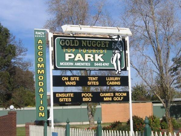
Entrance to the Gold Nugget Tourist Park Gold Nugget Tourist Park location map
, , , , , , , , , , , , , , ,
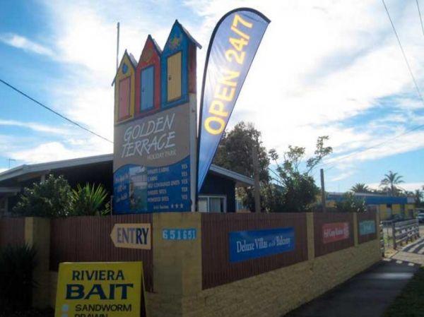
Golden Terrace Caravan Park
Entrance to the Golden Terrace Caravan Park Golden Terrace Caravan Park location map
, , , , , , , ,
The Goldwire Rest Area has some long drop public toilets with a black water dump point, picnic tables, some wood fired bbqs and plenty of level ground to park your caravan. This rtes area is set well back from the Great Northern Highway, so passing noise ...
Read More...
, , , , ,
Gooloogong Park Rest Area
At the Gooloogong Park Rest Area you can settle in, take a walk up to the pub, and check out the local shops, remember to spend some money, towns like this need a helping hand from tourism.
Entrance to the Gooloogong Park Rest Area location map
Gooloo ...
Read More...
, , , ,
This site has flushing toilets, there is a water tank but make sure you boil the water first. A nice grassy area for you to set up camp and the beach nearby for sightseeing and fishing.
Entrance to the Gordon Foreshore Reserve Camping Area
Gordon Fore ...
Read More...
, , , ,
Gorge Rock Pool Picnic Area
Entrance to the Gorge Rock Pool Picnic Area Gorge Rock Pool Picnic Area location map
, ,
Goughs Bay Caravan Park
Goughs Bay Caravan Park location map
, , , , , , ,
Grampians Paradise Camping Caravan Parkland location map
, , ,
Grantville - Picnic BBQ Area
Entrance to the Grantville - Picnic BBQ Area Grantville - Picnic BBQ Area location map
, , , , ,
Entrance to the Great Aussie Holiday Park Great Aussie Holiday Park location map
, , , , , , , , , , ,
At the Green Hill Lake Camping Area, you can stay for 4-5 days and a permit is need for longer stays. free hot showers and a good toilet facility, bbq, fire pits, a children's playground and lots of rubbish bins. You can swim,kayak and explore the islands ...
Read More...
, , , , , , , ,
The Greens Lake Recreation Area is a lovely place with showers, toilets, bbqs and a Boat Launching Ramp, BUT that means very little if there is a drought, as the lake is very shallow and dries up rapidly. Greens Lake Recreation Area location map
, , ,
Greens Lake Regional Park Camping Area has plenty of camp spaces, power, toilets and showers and fire pits provided and it's right on the lake with safe swimming for kids.
Entrance to the Greens Lake Regional Park Camping Area
Greens Lake Regional Par ...
Read More...
, , ,
Entrance to the Grenfell West Rest Area Grenfell West Rest Area location map
, , , , ,
Grong Grong Park Rest Area
At the Grong Grong Park Rest Area there is plenty of parking over near the Grain Silos, there is a public toilet undercover picnic table and bbq, rubbish bins and a small playground for the children.and a phone box and a shop nearby.
Entrance to the Gron ...
Read More...
, , , , ,
Gum Bend Lake Camping Area 14 Day Limit
The Gum Bend Lake Camping Area has hot showers, rubbish bins, undercover picnic tables and bbqs with plenty of camping places to pick from, fishing, photographic opportunities everywhere and it's about 5km from the town of Condobolin in Central NSW. The G ...
Read More...
, , , , , , , ,
Gurney VC Rest Area
Gurney VC Rest Area has good views across the dry Lake George. There are some trees for shade and a loop road that you can pull off with your caravan. Public toilets, picnic tables, wood fired bbq facilities and some rubbish bins.
Entrance to the Gurney ...
Read More...
, , , ,
The Hadspen Lions Park Reserve Area is a nice open area with boat ramp, and is a lovely spot for a bbq and picnic. This is a great park on the banks of the South Esk River, with playground and off lead dog area.
Entrance to the Hadspen Lions Park Reserve ...
Read More...
, , , , , , ,
Entrance to the Halls Gap Gardens Caravan Park Halls Gap Gardens Caravan Park location map
, , , , , , , , , ,
Entrance to the the NRMA Halls Gap Holiday Park BIG4
, , , , , , , , , , , ,

Entrance to the the Halls Gap Lakeside Caravan Park.
, , , , , , , , , ,
The Hamilton Rest Area is opposite the Bicentennial Park, is a beautiful place with apple and pear trees, public toilet and showers, laundry, dump point and potable water. where you'll find a public toilet, undercover picnic tables and rubbish bins. Or yo ...
Read More...
, , , , , , , ,
Entrance to Happy Wanderer Holiday Resort. Happy Wanderer Holiday Resort location map.
, ,
Harms Lake Rest Area 24 Hour Limit
The Harms Lake Rest Area is fairly roomy with quite a few places to park your caravan under some small shady gum trees. There are some fireplaces, picnic tables, and rubbish bins here, and you can park a bit further into the scrub if your game.
Entrance ...
Read More...
, ,
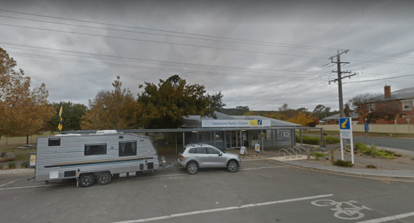
Heathcote Visitor Information Centre Open Hours:9.00am to 5.00pm everyday Entrance to the Heathcote Visitor Information Centre Heathcote Visitor Information Centre location map
, ,
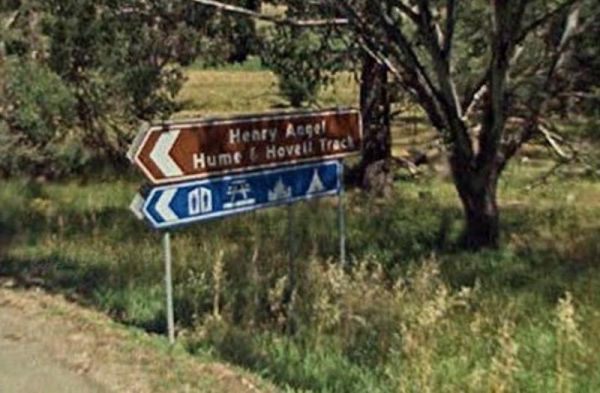
The Henry Angel Flat Camping Area is a nice spot to enjoy a week or two, fishing swimming photography and short walks all on your doorstep. Entrance to the Henry Angel Flat Camping Area Henry Angel Flat Camping Area location map
, , , , , , ,
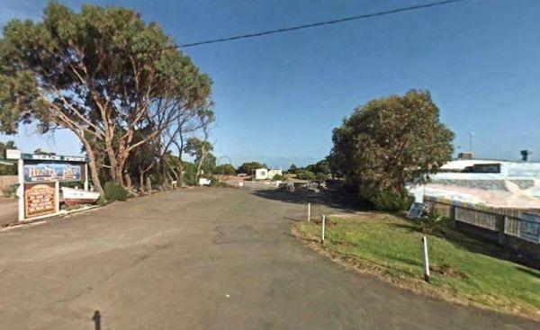
Entrance to the Henty Bay Beach Front Van & Cabin Park Henty Bay Beach Front Van & Cabin Park location map
, , , , , , , , , , , , ,
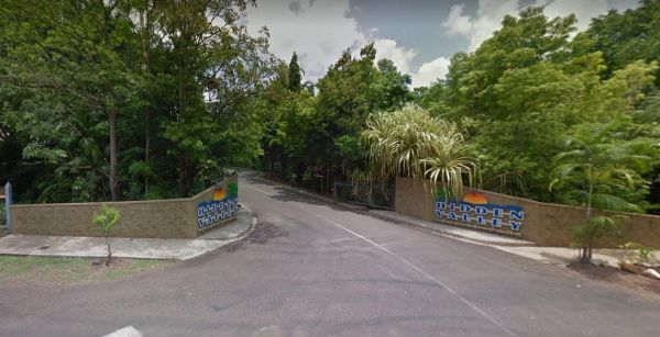
Entrance to the Hidden Valley Holiday Park Hidden Valley Holiday Park location map
, , , , , , ,
Entrance to the the High Country Holiday Par.
, , , , , , , , , , , , , ,
The Hobart Beach campground has drop toilets, hot showers, wood fired bbq on each campsite. Close to lake and beach, with lots of wildlife, including goannas, wallabies, echidnas and possums.
For the fishermen, you can catch prawns at night
Note: The pa ...
Read More...
, , , , ,
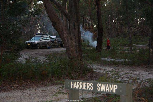
The Holey Plains State Park - Harriers Swamp Campground is 10kms south east of Rosedale. The park is situated south of the Princes Highway between Rosedale and Sale. The main access is from Rosedale, via the Rosedale Willung Road and Recreation Racecourse ...
Read More...
, ,
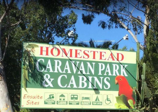
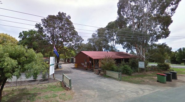
The Homestead Caravan Park and Cabins is an older style caravan park situated on 7 acres. They have a camp kitchen, laundry facilities, covered bbq area, and hey have added a new salt water swimming pool and games area, there are also Powered Ensuite Site ...
Read More...
, , , , , , , , , ,
The Honeysuckle Campground has good spacing for campsites so you don't feel too crowded, but it does get busy over the weekends. There are public toilets no flushable type also undercover picnic table, fireplace and two gas barbeques.
Note: Rain water ta ...
Read More...
, , ,
Entrance to the Horsham Riverside Caravan Park Horsham Riverside Caravan Park location map
, , , , , , , , , , ,
Set next to the Hospital Creek and just off the Princess Highway, Its a place to stop and have a BBQ at. Entrance to the Hospital Creek Rest Area Hospital Creek Rest Area location map
, ,
The House Creek Bridge Rest Area has public toilets with black water dump points, picnic tables, rubbish bins and some shade trees to park your caravan under. The ground is fairly level for camping, and the main camp area approximately one hundred metres ...
Read More...
, , , , ,

Howard Springs Holiday Park Big4
Entrance to the BIG4 Howard Springs Holiday Park BIG4 Howard Springs Holiday Park location map
, , , , , , , , , , ,
Howitt Park
Entrance to the Howitt Park Howitt Park location map
, , , , ,
The Howlong Lions Park Rest Area is not a bad spot on the Murray River. There are public toilets, picnic tables, bbqs, and rubbish bins with a lot of level ground to park your caravan, and gum trees for shade.
NOTE: No Camping Allowed
Pop over to the Tr ...
Read More...
, , , , , ,
Entrance to the Howqua Valley Resort Howqua Valley Resort location map
, , , , , , , , , , , ,
Pull off the main road on the outskirts of town at the Hughenden Rotary Rest Area, walk or ride your bike to Brodie Street, the main shopping centre for Hughenden, pop over and take a meal next to the dinosaur.
Entrance to the Hughenden Rotary Rest Area ...
Read More...
, , , , ,
The Humes Crossing Camping Area is a beautiful spot! There are long drop toilets, wood fireplaces with bbq facilities, and picnic tables, but it's best to bring levelling blocks for your caravan if you intend to camp here. This campground is just a short ...
Read More...
, , , ,
Entrance to the Huskisson White Sands Holiday Park Huskisson White Sands Holiday Park location map
, , , , , , , , ,
Entrance to the Hynes Reserve - Water Reserve Camping Area Hynes Reserve - Water Reserve Camping Area location map
, ,
Entrance to the Iluka on Freycinet Holiday Park Big4 Iluka on Freycinet Holiday Park Big4 location map
, , , , , , , , , ,
The Inca Creek Rest Area has plenty of room to park your caravan. There are a few picnic tables and wood fired bbq facilities with a few shade trees here, and plenty of room to walk the dog.
Entrance to the Inca Creek Rest Area
Inca Creek Rest Area lo ...
Read More...
, , ,
Indented Head Bellarine Bayside Holiday Parks
Entrance to the Indented Head Bellarine Bayside Holiday Parks Indented Head Bellarine Bayside Holiday Parks location map
, , , , , , , ,
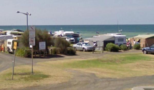
Entrance to the Inverloch Foreshore Camping Inverloch Foreshore Camping location map
, , , , , , , ,
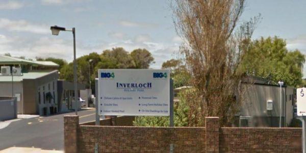
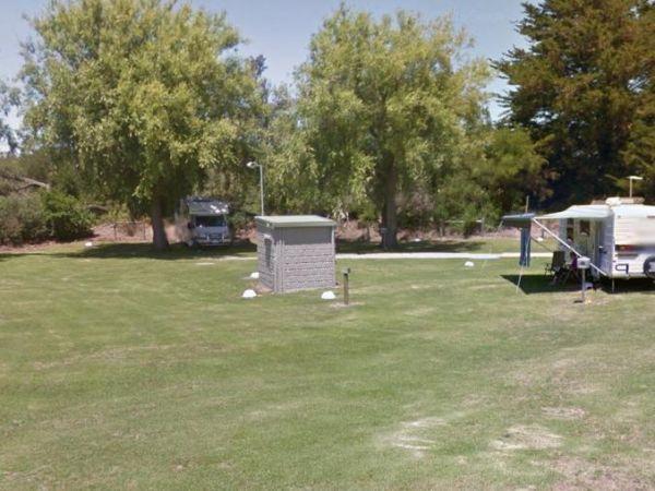
Entrance to the Inverloch Holiday Park BIG4 Inverloch Holiday Park BIG4 location map
, , , , , , , , , , , , , , , ,
Italian Flat is a large flat campsite, with one toilet located on the banks of the Upper Dargo River. You will find a couple of small shallow swimming holes on the river and this camp is only 10 min from Dargo. Italian Flat Campground location map
, , , , ,
Jacka Park Rest Area
Entrance to the Jacka Park Rest Area
Jacka Park Rest Area location map
Wedderburn is a rural town located in Victoria, Australia on the Calder Highway, 214 kilometres north of Victoria's capital city, Melbourne. At the 2006 census, Wedderburn ...
Read More...
, , , , , ,
The James King Park is just a short walk to the Murray River, there is a boat ramp plus parking this spot gets rather busy on weekends. Entrance to the James King Park James King Park location map
, , , , ,
James Norman Hedges Park Rest Area
Entrance to the James Norman Hedges Park Rest Area James Norman Hedges Park Rest Area location map
, , , , , , ,
Entrance to the the Jamieson Caravan Park.
, , , , , , , , ,
The Jane Duff Highway Park Rest Area has a historical marker dedicated to Jane Duff, one of three Duff children who in 1864 that was found by an Aboriginal tracker, after being lost for nine days in the bush.
There is also a small lake nearby if you fanc ...
Read More...
, , , ,
Entrance to the JC Stretch Memorial Park Rest Area JC Stretch Memorial Park Rest Area location map
, , , ,
The Jounama Creek Camping Area, has plenty of riverbank areas for camping on with your caravan. There is a long drop toilet, fire pits and the Jounama Creek has crystal clear water, with Rainbow and Brown Trout waiting to be caught. You will also see cock ...
Read More...
The Joyce Pearce Memorial Park, is just on the edge of Sofalla you should take the time to walk through the Historic town of Sofala. Grab a bite to eat from one of the cafés or checkout the museum. If that doesn't tickle your fancy drop a line in the Turo ...
Read More...
, , , ,
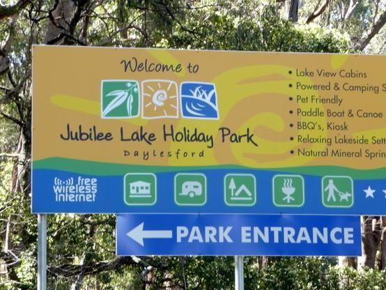
Jubilee Lake Caravan Park
Entrance to the Jubilee Lake Caravan Park Jubilee Lake Caravan Park location map
, , , , , , , , ,
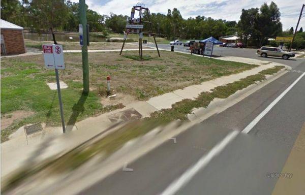
Kangaroo Flat Park Area
Entrance to the Kangaroo Flat Park Area Kangaroo Flat Park Area location map
, , , , , ,
Kangaroo Valley Tourist Park
Entrance to the Kangaroo Valley Tourist Park Kangaroo Valley Tourist Park location map
, , , , , , , , , , , ,

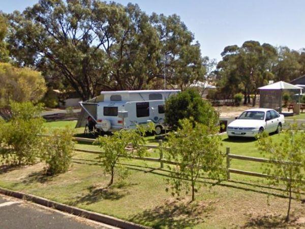
Entrance to the Kangerong Holiday Park Kangerong Holiday Park location map
, , , , , ,
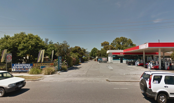
Entrance to the the Kangerong Holiday Park.
, , , , , , ,
Entrance to the Kaniva Poolside Caravan Park Kaniva Poolside Caravan Park location map
, , , , , ,
Karalee Rocks Camping Area 72 Hou Limit
The Karalee Rocks Camping Area is a nice place to stay, there is a flushing toilet and an RV black water dump point, picnic tables and fire pits. You can swim in the dam, or catch a feed of yabbies. The camping area has lots of shade to park your caravan. ...
Read More...
, , , , , ,

Katamatite Lions Memorial Park Rest Area
The Katamatite Lions Memorial Park Rest Area has a bakery is just down the road within easy walking distance. Entrance to the Katamatite Lions Memorial Park Rest Area Katamatite Lions Memorial Park Rest Area location map
, ,
Entrance to the Katherine Holiday Park Katherine Holiday Park location map
, , , , , , , , , ,
The Keith Park Rest Area is a rather large park that spans both sides of the road, with plenty of picnic tables to chooses from. Entrance to the Keith Park Rest Area Keith Park Rest Area location map
, , , , , ,
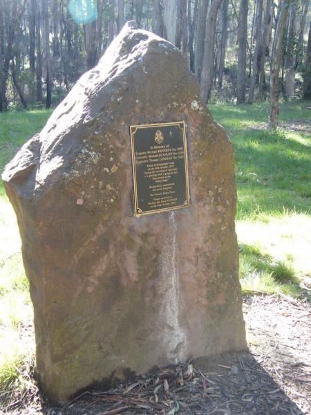
The Kelly Tree Stringybark Creek Camping Area, has public toilets, picnic tables and fire pits, and plenty of space to set up camp. This campground is located where Ned Kelly's gang murdered 3 Police officers.The names of the fallen officers is listed bel ...
Read More...
, , ,
From the Kempton Rest Area you can take a short walk or get your bikes off the back of the van, and have a short sightseeing trip around town, then settle in for the night.
There is a Tavern with meals and takeaways within walking distance and that the K ...
Read More...
, , , , ,
Kennett River Holiday Park
Entrance to the the Kennett River Holiday Park.
, , , ,
Kentish Park Camping Area - Permanetly Closed
NOTE: Kentish Campground has Permanently closed, there are no longer toilet facilities at this site. Parks & Wildlife Tasmania have taken over.
The Kentish Park Camping Area has a boat ramp is located just below the toilet block area, there are plent ...
Read More...
, , , , ,
Entrance to the Kerang Caravan & Tourist Park Kerang Caravan & Tourist Park location map
, , , , , , ,
Entrance to the the Kergunyah Caravan Park.
, , , , , ,
Entrance to the Kilmore Caravan Park Kilmore Caravan Park location map
, , , , , , ,
The Kimba Rest Area is a handy spot to stop at, there is an IGA supermarket across the road so pick up some supplies while visiting here, AND the Big Galah nearby GPS -33.141783,136.421747 Entrance to the Kimba Rest Area Kimba Rest Area location map
, , , ,
Entrance to the Koondrook Caravan Park Koondrook Caravan Park location map
, , , , , , , , ,
Koonwarra Family Holiday Park
Entrance to the Koonwarra Family Holiday Park Koonwarra Family Holiday Park location map
, , , , , , , , , , , ,
The Koorarawalyee Rest Area is level and on a natural dirt surface with lots of places to park your caravan for the night under shady trees. There is a public toilet, fireplaces with bbq facilities, picnic tables and lots of room for your dog to have a ru ...
Read More...
, , , ,
Kooyoora Park Retreat has pet friendly camping and it's only 15 minutes from the Melville Caves with magnificent views of Mt Kooyoora. Camping with all the features of an outdoor kitchen, large fire pit, 80 acres of beautiful private bushland plus thousan ...
Read More...
Korumburra Tourist Park
Entrance to the Korumburra Tourist Park Korumburra Tourist Park location map
, , , , , , ,
Kumarl Siding Rest Area 24 Hour Limit
The Kumarl Siding Rest Area is a large area with some small trees offering some shade to park your caravan. There are picnic tables, fireplaces with bbq facilities, and rubbish bins so it's not a bad place for an overnighter, but you will be quite close a ...
Read More...
, , ,
The Kurth Kiln Picnic and Camping Ground is a place for you to chill and relax, walk around the nature along one of the walking tracks found here. There are plenty of good flat spots to pitch tents. this is a lovely little spot close to Melbourne, with go ...
Read More...
Entrance to the Kyabram Caravan & Tourist Park Kyabram Caravan & Tourist Park location map
, , , , ,
Entrance to the Kyabram Western Gums Tourist Park Kyabram Western Gums Tourist Park location map
, , , , , , , , , , ,
If stopping at the Kyneton Mineral Springs Rest Area, why not grab some fresh Mineral Water direct from the old hand pump and with the Campaspe River is next to the car-park, it's a nice place for a rest.
Entrance to the Kyneton Mineral Springs Rest Area ...
Read More...
, , , ,
Laanecoorie Lakeside Park
Entrance to the Laanecoorie Lakeside Park Laanecoorie Lakeside Park location map
, , , , , , , , , , , , ,
Lake Albacutya Regional Park Camping Area, avoid travelling here on public holidays, as this place can get jam packed with dirt bikes & loud generators. There are flushing toilets, cold shower facilities, and a boat ramp to a lake that's been dry for ...
Read More...
, ,
Entrance to the Lake Anderson Caravan Park Lake Anderson Caravan Park location map
, , , , ,
At Lake Barrington Camping Area you can pick your spot from a large grassed area surrounded by large trees. Walk down to the boat ramp and enjoy the scenic view over the lake, or drop a line in and see if there biting today.
Entrance to the Lake Barringt ...
Read More...
, , , , , ,
Lake Boga Caravan Park Entrance to the Lake Boga Caravan Park Lake Boga Caravan Park location map
, , , , , , , ,
The Lake Boga Rest Area lake is sometimes subject to drought condition, so NO Permanent WATER. Entrance to the Lake Boga Rest Area Lake Boga Rest Area location map
, , , ,
Lake Bolac Caravan & Tourist Park
Entrance to the Lake Bolac Caravan Park Lake Bolac Caravan Park location map
, , , , , , , ,
Lake Burrumbeet Caravan Park
Entrance to the Lake Burrumbeet Caravan Park Lake Burrumbeet Caravan Park location map
, , , , , , , , , , , , ,
Lake Charm Rest Area
At the Lake Charm Rest Area, you can take a break and have a bbq. This rest area is next to Racecourse Lake.Note: the lakes water levels vary according to the seasonal conditions.
Entrance to the Lake Charm Rest Area
Lake Charm Rest Area location map ...
Read More...
, , , ,
Entrance to the Lake Colac Caravan Park Lake Colac Caravan Park location map
, , , , , , ,
The Lake Cowan Rest Area is very close to the Coolgardie-Esperance Highway with level gravel surfaces with a few small trees for shade to park your caravan under. There are rubbish bins, fireplace with bbq facilities and for the more adventurous, you can ...
Read More...
, , ,
The Lake Douglas Recreation Reserve road in, past the quarry is very corrugated that leads to a large camping area. The camping area is suitable for caravans that have levelling blocks with them. There is one long-drop toilet, picnic tables and fire pits ...
Read More...
, , , , , ,
Entrance to the Lake Eppalock Holiday Park Lake Eppalock Holiday Park location map
, , , , , ,
Lake Fyans Holiday Park
Entrance to the Lake Fyans Holiday Park Lake Fyans Holiday Park location map
, , , , , , , , ,  , , , , , ,
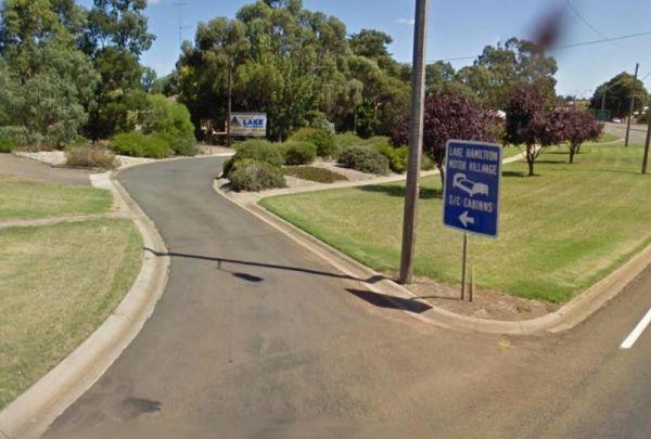
Entrance to the Lake Hamilton Motor Village and Caravan Park Lake Hamilton Motor Village and Caravan Park location map
, , , , , , , , , , , ,
Entrance to the Lake Hume - Discovery Parks Lake Hume - Discovery Parks location map
, , , , , , , , , , , , , ,

The Lake Johnston Camping Area camping ground is reasonable level for your caravan. There are fireplaces with bbq plates and a few trees for shade and quite close the salt lake itself.
Entrance to the Lake Johnston Camping Area
Lake Johnston Camping A ...
Read More...
, ,
NOTE: NO Camping in Tents PermittedEntrance to the Lake Learmonth Caravan Park Lake Learmonth Caravan Park location map
, , , , , ,
Lake Narracan Caravan Park
Entrance to the Lake Narracan Caravan Park Lake Narracan Caravan Park location map
, , , , , ,
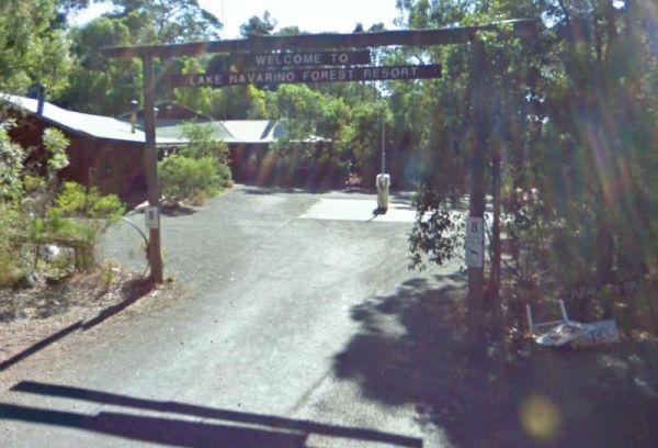
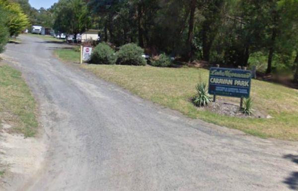
Entrance to the Lake Navarino Holiday Park Lake Navarino Holiday Park location map
, , , , , , , ,
The Lake Ratzcastle Camping Area is an awesome little location right next to the lake. There are two flushing toilets, tank water and a solar powered shower, and lots os campsites to choose from. Maybe you would like to try your luck at catching a Yabbie ...
Read More...
, , , ,
Lake Towerrinning Lakeside Camping
Entrance to the Lake Towerrinning Lakeside Camping Lake Towerrinning Lakeside Camping location map
, , , , , ,
Entrance to the Lake Weeroona Park Rest Area Lake Weeroona Park Rest Area location map
, , , , ,
Lake Wyangan Picnic Area 72 Hour Limit
When staying at the Lake Wyangan Picnic Area, you will find some camping spots for your caravan close to the lake with some trees for shade. There are some picnic tables, bbqs and flushing public toilets with cold showers, plus the occasional got and peac ...
Read More...
, , , , , ,
Lakes & Craters Holiday Park
Entrance to the Lakes & Craters Holiday Park Lakes & Craters Holiday Park location map
, , , , , , , , ,
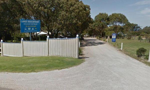
Lakes Beachfront Holiday Retreat
Entrance to the Lakes Beachfront Holiday Retreat Lakes Beachfront Holiday Retreat location map
, , , , , , , , , , , , , ,
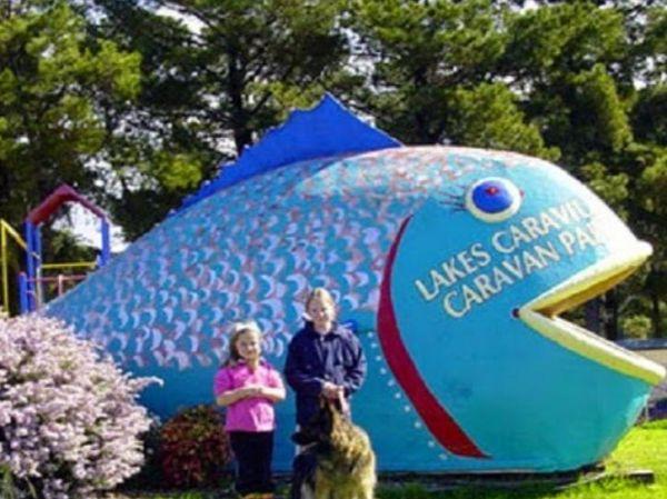
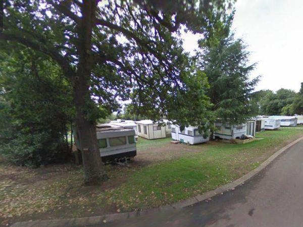
Lakes Caravilla Caravan Park
Entrance to the Lakes Caravilla Caravan Park Lakes Caravilla Caravan Park location map
, , , , , , , ,
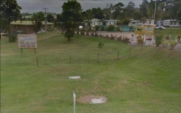
Lakes Entrance Tourist Park
Entrance to the Lakes Entrance Tourist Park Lakes Entrance Tourist Park location map
, , , , , , , , ,
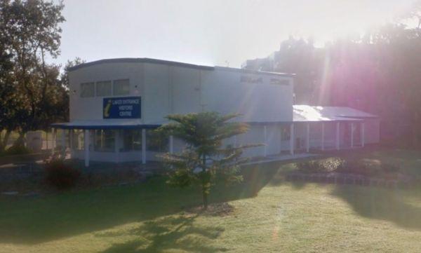
Lakes Entrance Visitors Information Centre
The Lakes Entrance Visitors Information Centre is opposite the Marine Parade Reserve which has bbq facilities and fishing. Entrance to the Lakes Entrance Visitors Information Centre Lakes Entrance Visitors Information Centre location map
, , ,
LakeView Caravan Park
Entrance to the LakeView Caravan Park LakeView Caravan Park location map
, , , , , , , , ,
Entrance to the Lakeview Caravan Park Lakeview Caravan Park location map
, , , , , , ,
The Lal Lal Blast Furnace Rest Area has a picturesque short historical walk at a unique and interesting chapter of Victorian history. There are flushing toilets and a picnic area consisting of some grass that you can put a blanket down on. Be sure to take ...
Read More...
, , , ,
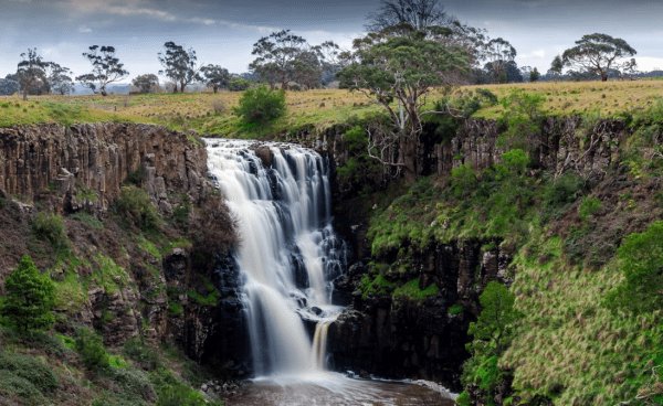
The Lal Lal Falls Rest Area is well worth a detour from the highway to experience this wonder of nature. From the carpark it's a short,250m walk, that allows you to view the falls from 2 different viewing platforms. This spot has a bbq, toilets and shelte ...
Read More...
, , , ,

Entrance to the Lameroo Lakeside Caravan Park Lameroo Lakeside Caravan Park location map
, , , , , ,
Lealow Caravan Park
Entrance to the Lealow Caravan Park Lealow Caravan Park location map
, , , , ,
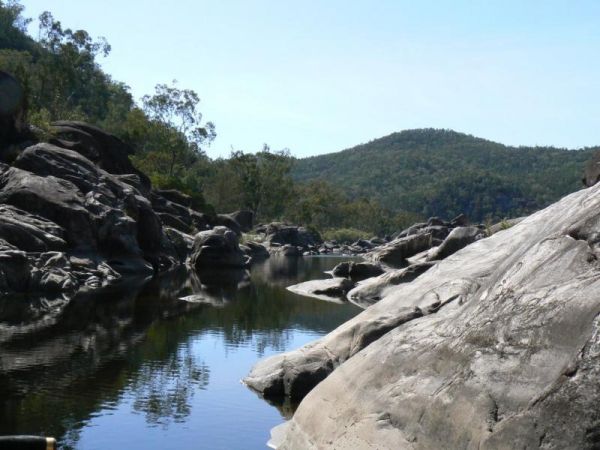
Lemon Tree Flat Camping Area is next to the Severn River. There is one free gas BBQ in a shelter, toilets, and some fireplaces. You will find a few walking tracks here. You'll find lots of wildlife, including Kangaroos echidnas goannas possums platypus et ...
Read More...
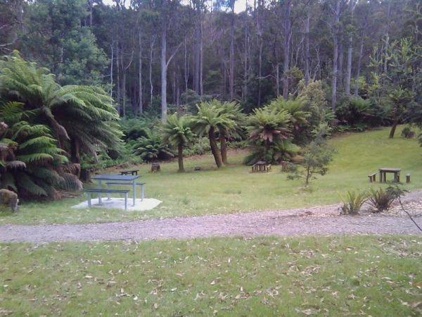
At the Leven Canyon Camping Area if you intend to take the 1.2km circuit walk allow a minimum of 45 minutes, be prepared for 697 Steps and some steep sections in the walking track. Also be prepared for severe weather conditions that change quite quickly, ...
Read More...
, , , , ,
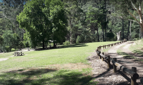
Lightning Creek Camping Area
The Lightning Creek Camping Area is a large level and well grassed area with beautiful mountain scenery to set up camp in. There is plenty of room for caravans, clean long drop toilets with wheelchair access, bbqs, picnic tables, large grassy areas with s ...
Read More...
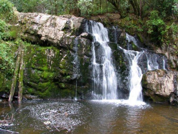
From the Lilydale Falls Reserve Camping Area is best suited to vehicle based tents. It's a short walk to the waterfall, and well worth your time to check it out. Remember to take your camera as you will be snapping off a few shots along your walk.
Entran ...
Read More...
, , , ,

Lilydale Pine Hill Caravan Park is at the gateway to Victoria’s famous Yarra Valley and the Dandenong Ranges.
We have a range of modern & affordable accommodation in Lilydale, Victoria. Whether you need a Cabin or a Site for your RV’s, caravan, larg ...
Read More...
, , , , , , , , , , , , , ,
Litchfield Tourist Park
Entrance to the Litchfield Tourist Park Litchfield Tourist Park location map
, , , , ,
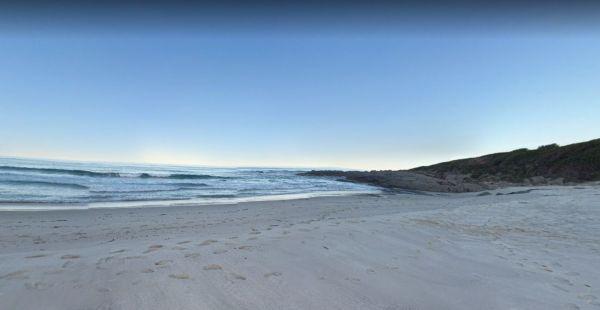
Little Beach Camping Area
The Little Beach Camping Area has a drop toilet, and bbq, and is a back to basics camp, you bring everything you need and take your rubbish away with you. P.S. Good Rock Fishing at either end of the white sand beach. this campsite Gets Noisy around school ...
Read More...
, ,
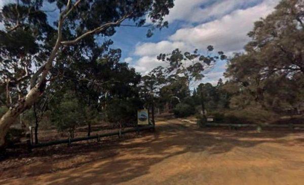
Entrance to the Little Desert Nature Lodge Little Desert Nature Lodge location map
, , ,
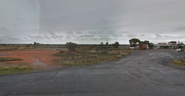
Little Topar Rest Area
If stopping at the Little Topar Rest Area, you can walk across the road to the local Hotel for a lemonade. There is room to park your caravan, with some wood fired bbqs, undercover picnic tables and public toilets for those who don't want some pub food. ...
Read More...
, , ,
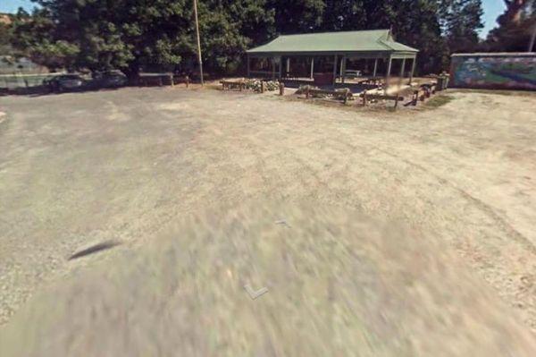
From the Loch Memorial Reserve Camping Area, you can take a short stroll down Victoria Road to the local General Store and pick up a newspaper and some supplies.
Entrance to the Loch Memorial Reserve Camping Area
Loch Memorial Reserve Camping Area loc ...
Read More...
, , , ,
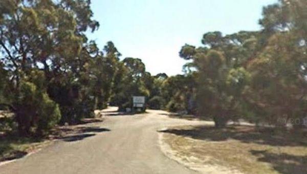
Loch Sport Caravan Park
Entrance to the Loch Sport Caravan Park Loch Sport Caravan Park location map
, , , , , , , ,
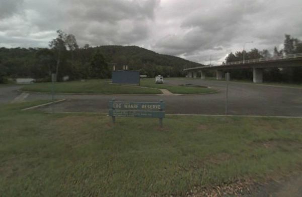
Log Wharf Reserve Rest Area
The Log Wharf Reserve Rest Area has a boat ramp, and plenty of space to park your caravan. There are undercover picnic tables, a few BBQ's and rubbish bins, and a public toilet. This is a nice scenic spot on the banks of the Wilson River to take a break f ...
Read More...
, , , , ,
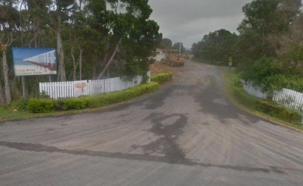
Long Jetty Caravan Park
Entrance to the Long Jetty Caravan Park Long Jetty Caravan Park location map
, , , , , , ,
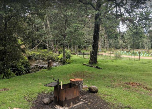
The Lower Liffey Reserve Camping Area is on the banks of the Liffey River, DO NOT ATTEMPT to Take Your Rig Up To The Falls, you will be asking for trouble if you do. The road is narrow and very winding up to the falls car-park.
Entrance to the Lower Liff ...
Read More...
, , , ,
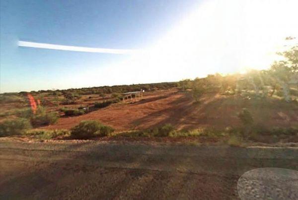
Entrance to the Lyndon River East Rest Area Lyndon River East Rest Area location map
, , ,
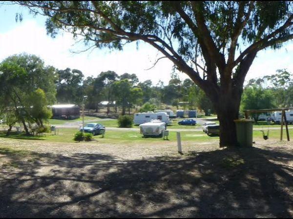
Entrance to the Macedon Caravan Park Macedon Caravan Park location map
, , , , , ,
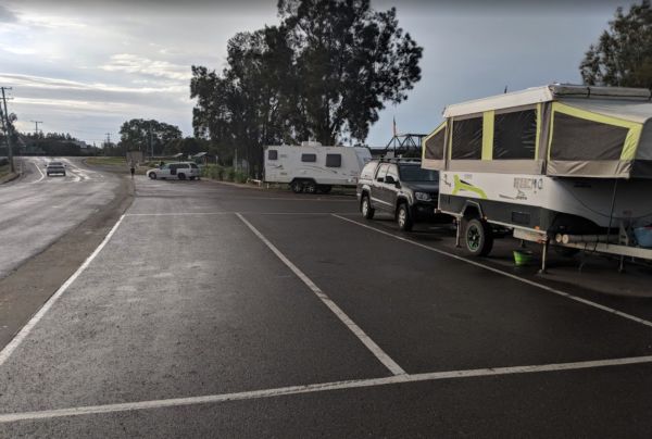
Macksville Lions Park Rest Area
Macksville Lions Park Rest Area is a small tidy park right on the river's edge and very popular amongst travellers. The park has bbq facilities, public toilets, boat ramp, children's playground, rubbish bins, and it's a free overnight stop over with room ...
Read More...
, , , , , ,
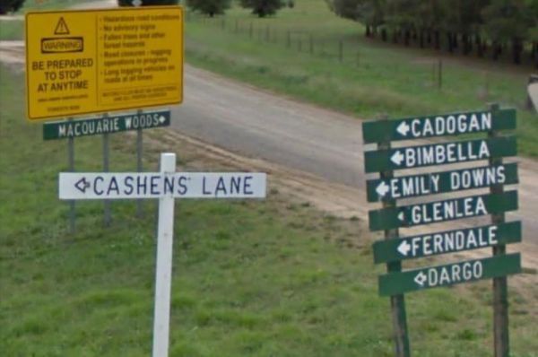
The Macquarie Woods Forest Reserve is a fantastic spot to park our caravan for a few nights to explore Bathurst and has more camping spots than you can poke a stick at. There is a public long drop toilet, picnic tables, fireplaces with bbq facilities, a f ...
Read More...
, , , , , , ,

From the Macrossan Park Rest Area you can drop the kayak in and paddle down and have a look at the twin railway bridges. Perhaps you would prefer to sit on the bank of the Burdekin River, and kill some time fishing. Don't forget to take your camera with y ...
Read More...
, , , , , ,
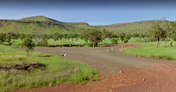
Entrance to the Maggie Creek Rest Area Maggie Creek Rest Area location map
, ,
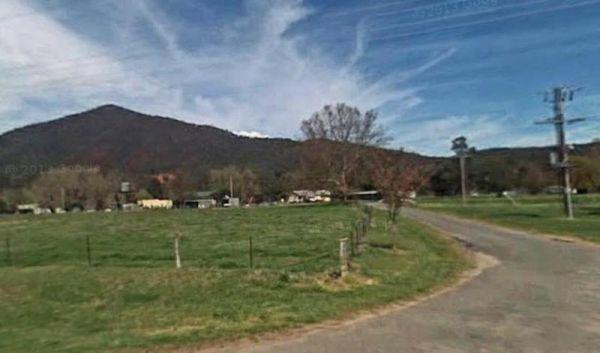
Magorra Caravan Park
Entrance to the Magorra Caravan Park Magorra Caravan Park location map
, , , , , , , , , , , ,
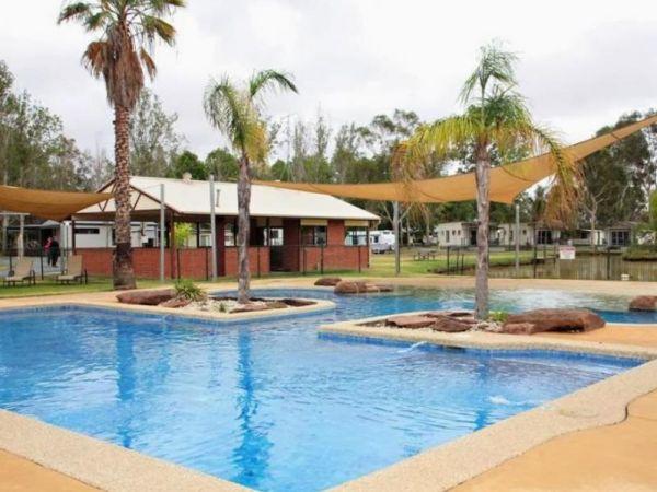
Entrance to the Maiden's Inn Holiday Park Maiden's Inn Holiday Park location map
, , , , , , , , , , ,
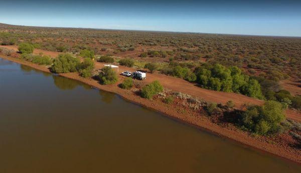
Entrance to the Malcolm Dam Nature Reserve Malcolm Dam Nature Reserve location map
, ,
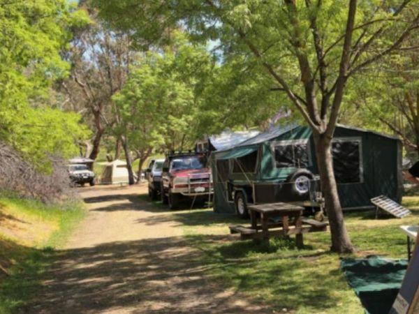
Entrance to the Maldon Caravan & Camping Park Maldon Caravan & Camping Park location map
, , , , , ,
No camping is allowed within the Mallala Oval camping area itself, only outside the Mallala Oval Rest Area.Hot showers are available are coin operated. Why not Pop into town and spend some money at the IGA or the Take away next door on Wasleys Road. near ...
Read More...
, , , ,
The Mallee Fowl Rest Area is just off the Sturt Highway, with plenty of room to park all sized rigs. There are public toilets, some wood fired BBQ's, and enough room to take your dog for a walk.
Entrance to the Mallee Fowl Rest Area
Mallee Fowl Rest A ...
Read More...
, , , ,
The Malone Park Rest Area has plenty of space for all caravans and motorhomes of all sizes. Entrance to the Malone Park Rest Area Malone Park Rest Area location map
, , ,
Mambray Creek Rest Area
From the Mambray Creek Rest Area check out the Old rail bridge while your there, you'll find plenty of parking on both sides of the road. Entrance to the Mambray Creek Rest Area Mambray Creek Rest Area location map
,
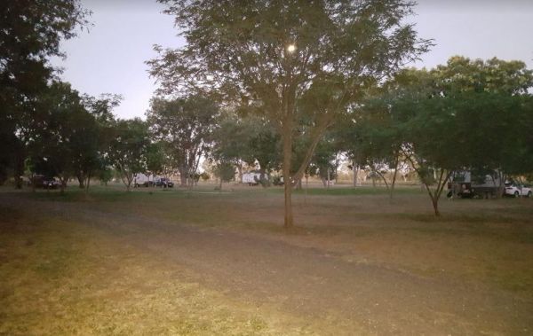
Entrance to the Manbulloo Homestead Manbulloo Homestead location map
, , , ,
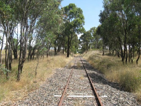
The Mandurama East Rest Area has a Railway line running along the back of this spot, it's an OK spot to enjoy a break from driving and BBQ picnic at the same time. Entrance to the Mandurama East Rest Area Mandurama East Rest Area location map
, ,
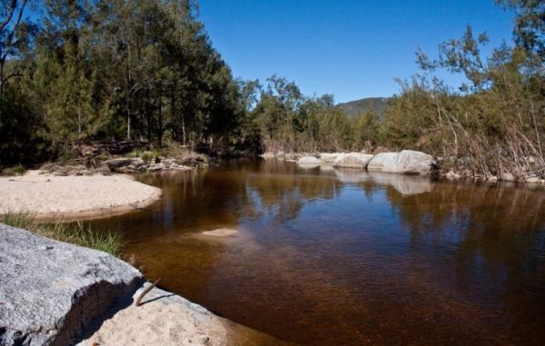
When visiting the Mann River Nature Reserve, why not pop your Kayak in and paddle up to the Old Bridge, all that's left to see are the supports jutting out of the water. Or you can cross over the river and stay in the Mann River Caravan Park. There is a p ...
Read More...
, , , , ,
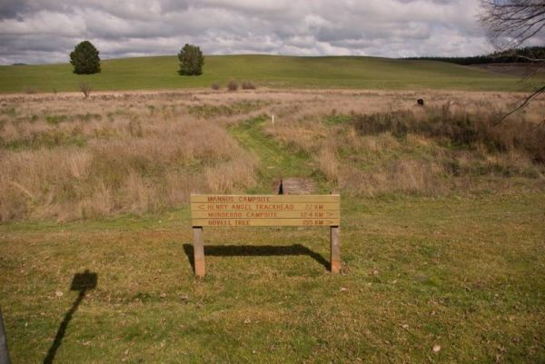
Mannus Camping Area
The Mannus Creek runs next to this site, this is a great base-camp for hiking into the surrounding mountains. Entrance to the Mannus Camping Area Mannus Camping Area location map
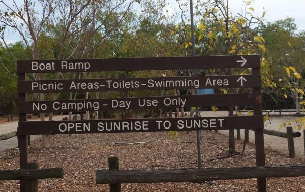
Manton Dam Recreation Area
The Manton Dam Recreation Area has plenty of places to have a picnic in the shade, and there is a public toilet and rubbish bins present. This is a nice spot to pop your Kayak into and paddle around for a bit, and maybe do some fishing.
Gates are Open: M ...
Read More...
, ,
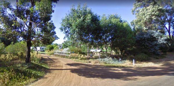
Entrance to the Maranup Ford Caravan Park Maranup Ford Caravan Park location map
, , , , ,
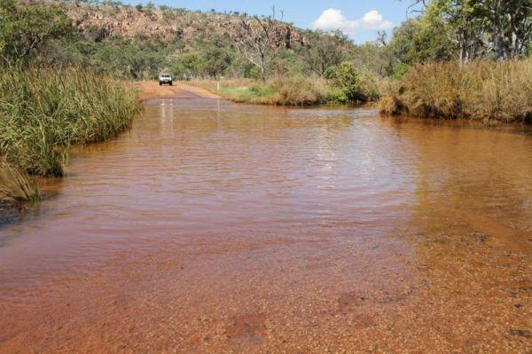
March Fly Glen Rest Area
March Fly Glen Rest Area location map
, , ,
Marengo Holiday Park
Entrance to the Marengo Holiday Park Marengo Holiday Park location map
, , , , , , , ,
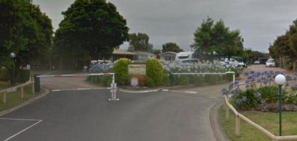
Entrance to the Marina View Van Village Marina View Van Village location map
, , , , ,
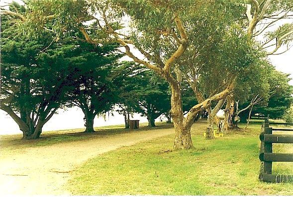
The Marlay Point Free Camping has public toilets and an old water tank with water, with camping right on the edge of the beach on a nice grassy area (just near yacht club). This campsite is located approx 18kms from Sale on Clydebank Road, turn off at sig ...
Read More...
, , , ,
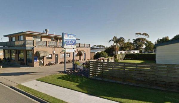
Entrance to the Marlo Caravan Park Marlo Caravan Park location map
, , ,
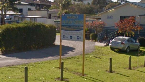
Entrance to the Marlo Ocean View Caravan & Camping Park Marlo Ocean View Caravan & Camping Park location map
, , , , , , , ,
Entrance to the Marong Caravan & Cabin Village BIG4 Marong Caravan & Cabin Village BIG4 location map
, , , , , , , ,
The Married Mens Camping Area has a nice new long drop toilet and room for 10+ cars, with good access to running water and dead wood everywhere goes not a lot of tent space available and best suited to 4x4's Married Mens Camping Area location map
At the Martin's Bend Reserve Campground riverside camping is not permitted, you now have dedicated areas set aside at reasonable prices. Entrance to the Martin's Bend Reserve Campground Martin's Bend Reserve Campground location map
Martins Bend Riverside Reserve Camping Area
To find the Martins Bend Riverside Reserve Camping Area, follow Riverview Dr then turn onto Unnamed Road. Use GPS to find it more easily
Note: This site is more suited to smaller rigs or Tent Camping.
Martins Bend Riverside Reserve Camping Area location ...
Read More...
, , , , ,
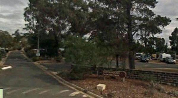
Maryborough Caravan Park
Entrance to the Maryborough Caravan Park Maryborough Caravan Park location map
, , , , , , , , , , , , ,

Marysville Caravan and Holiday Park
Entrance to the Marysville Caravan and Holiday Park Marysville Caravan and Holiday Park location map
, , , , ,
The McClelland Camping Area is a great spot by the river and accessible by 2wd, but best accessed with 4x4's with vehicle based tent camping. You will need to bring everything, and take your rubbish with you, water is available from the Big River, but mak ...
Read More...
The McDermid Rock Camping Area is an excellent small campground with beautiful walks on McDermid Rock. This rock is a smaller Wave Rock, with an interesting trail to follow when you climb it.
It's an easy road for a single axle caravan making it a perfec ...
Read More...
, , ,
Entrance to the Meckering Memorial Park Meckering Memorial Park location map
, , , , ,
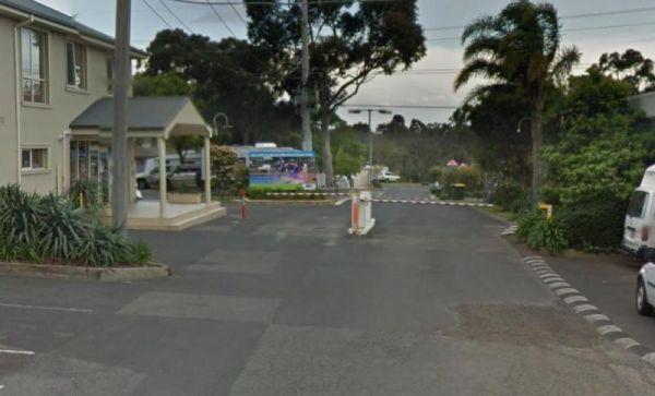
Entrance to the Melbourne Big4 Holiday Park Melbourne Big4 Holiday Park location map
, , , , , , ,
The Mendooran Free Camp is a picturesque area on the river and close to township, beautiful setting with plenty of space for caravans and mobile homes. There are undercover picnic tables, flushing toilets, cold showers, and town water tap behind amenities ...
Read More...
, , , , , , , ,
Lake Colac holds Redfin and Carp for those who like fishing, and it's a great place to put your kayak into the water, there is even a boat ramp located here. The campsites is on 6 hectares of land with plenty of places to pitch a tent on grass and quiet c ...
Read More...
, , , , , ,
The Meredith Rest Area has a toilet block a BBQ, undercover seating and plenty of room to park your caravan. Meredith Rest Area 360 Entrance to the Meredith Rest Area Meredith Rest Area location map
, , , ,
Entrance to the Miaree Pool Rest Area Miaree Pool Rest Area location map
, , , , , ,
Entrance to the Mick Tuck Riverside Reserve Mick Tuck Riverside Reserve location map
, , , , , , ,
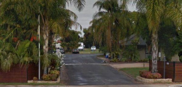
Entrance to the All Seasons Holiday Park All Seasons Holiday Park location map.
, , , , , , , , , , ,
Entrance to the Mildura Deakin Holiday Park BIG4 Mildura Deakin Holiday Park BIG4 location map
, , , , , , , , ,
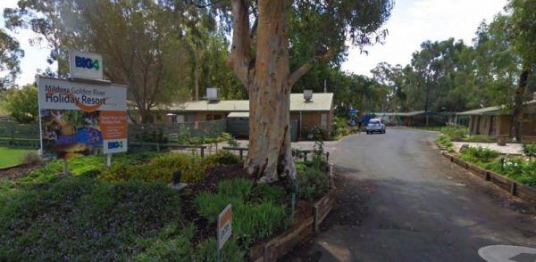
Entrance to the Mildura Golden River Holiday Resort BIG4 Mildura Golden River Holiday Resort BIG4 location map
, , , , , , , , , , , , , ,
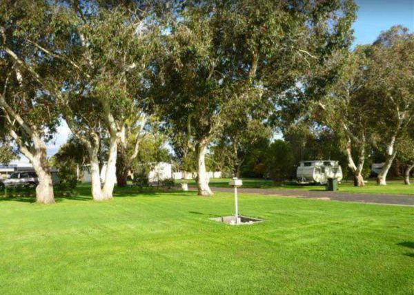
Entrance to the Millicent Lakeside Caravan Park Millicent Lakeside Caravan Park location map
, , , ,

Entrance to the Millicent Lakeside Caravan Park Millicent Lakeside Caravan Park location map
, , , , , , , , ,

The Miners Campground Creek dry except for salt encrusted pools. Interesting geology/topography and it's hard to imagine the people who worked here having to dig for coal. This campground has two drop toilets, and a communal fire in the evening.
During w ...
Read More...
,
The Miners Flat Camping Area has some fireplace bbqs, and parking space mainly for 4x4 vehicle based camping and a few tents. Miners Flat Camping Area location map
Entrance to the Miners Rest Caravan Park Miners Rest Caravan Park location map
, , , ,
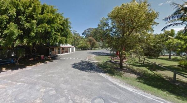
Minnie Water Holiday Park
Entrance to the Minnie Water Holiday Park Minnie Water Holiday Park location map
, , , , , ,
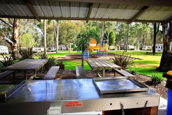
Entrance to the Moama West Holiday Park Moama West Holiday Park location map
, , , , , , , , , , , , , ,
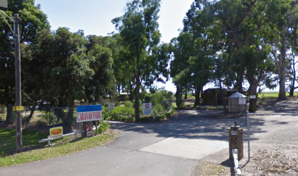
Entrance to the Moe Gardens Caravan Park Moe Gardens Caravan Park location map
, , , , , , , ,
The Mokoan Rest Area (North Bound) is a busy truck stop and very well appointed, a great place to pull over to take a break from driving with plenty of room to park and a double 15amp powerpoint in the BBQ hut.
Entrance to the Mokoan Rest Area (North Bou ...
Read More...
, , ,
The Mokoan Rest Area (South Bound) has electric bbqs, public toilets with hand washing facilities, picnic tables, plus plenty of room to park all sized rigs. Entrance to the Mokoan Rest Area (South Bound) Mokoan Rest Area (South Bound) location map
, , , ,
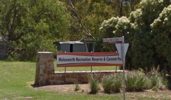
Molesworth Reserve Camping Ground
Entrance to the Molesworth Reserve Camping Ground Molesworth Reserve Camping Ground location map
, , , , , ,
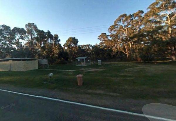
The Moliagul Rest Area, a monument commemorating John Flynn the founder of the Flying Doctor service who was born nearby. Here you will find flushing public toilets, an undercover picnic table and a bbq.
Entrance to the Moliagul Rest Area
Moliagul Res ...
Read More...
, , ,

Molonglo Gorge Reserve Rest Area has a public toilet, plus bbq and a small children's playground, and the Molonglo River is very close if you want to try your hand at fishing, or take a few photos to remember this place.
Molonglo Gorge Reserve rest area ...
Read More...
, , , , ,
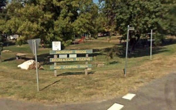
Mongans Bridge Caravan Park
Entrance to the Mongans Bridge Caravan Park Mongans Bridge Caravan Park location map
, , , , ,
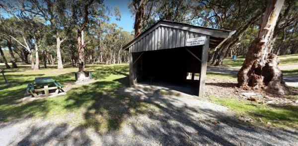
The Montagu Camping Area is a very popular place for fishermen with boats. If your shore based fishing there, you can walk out to the Robbins Passage channel at low tide. Montagu Camping Area location map
, , , , , ,
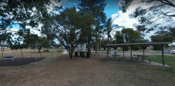
At the Monto Lions Park Rest Area freshen yourself up and take a rest from driving, pop into the main town and restock your larder in Newton Street.
No Overnight Camping Permitted.
Entrance to the Monto Lions Park Rest Area
Monto Lions Park Rest Area ...
Read More...
, , , ,
Moochalabra Dam Picnic Area location map
, ,
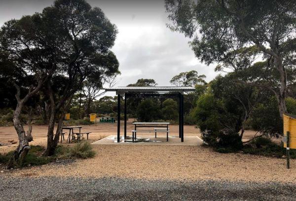
Entrance to the Moodini Bluff Rest Area Moodini Bluff Rest Area location map
, ,
Entrance to the Moonera Tank Rest Area Moonera Tank Rest Area location map
, ,
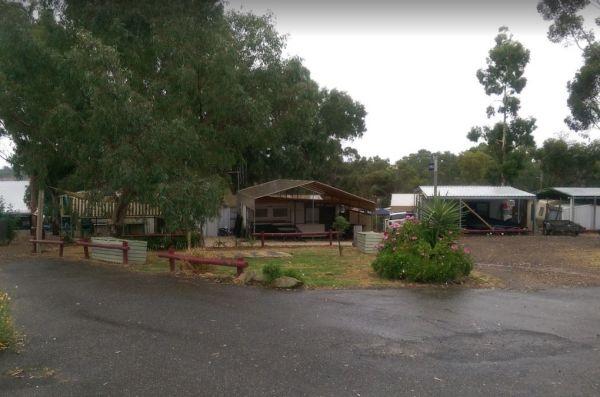
Moorabee Lodge Caravan Park location map
, , , , , , , ,
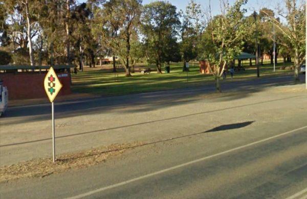
The Mooroopna Rest Area has a skateboard ramp, public toilets, bbqs, undercover picnic tables, and a few playground attractions for the little ones. Entrance to the Mooroopna Rest Area Mooroopna Rest Area location map
, , , , ,
Mornington Gardens Holiday Village
Entrance to the Mornington Gardens Holiday Village Mornington Gardens Holiday Village location map
, , , , , , , , ,
Entrance to the Mornington Peninsula Holiday Park BIG4 Mornington Peninsula Holiday Park BIG4 location map
, , , , , , , , , , , , , , ,
Entrance to the Mount Beauty Holiday Centre and Caravan Park Mount Beauty Holiday Centre and Caravan Park location map
, , , , , , , ,
Mount Bryan Rest Area
The Mt Bryan Rest Area is just off the Barrier Highway there is a turbine blade on display, You don't realise how big these things are until your up close to one. The parking area is on a large a gravel surface, where you can park many caravans of all siz ...
Read More...
, , ,
Mount Buffalo Caravan Park
Entrance to the Mount Buffalo Caravan Park Mount Buffalo Caravan Park location map
, , , , , , , , ,
The Mt Bryan Rest Area is just off the Barrier Highway there is a turbine blade on display, You don't realise how big these things are until your up close to one. The parking area is on a large a gravel surface, where you can park many caravans of all siz ...
Read More...
, , , ,
The Mt Langi Ghiran State Park Camp Area is a very basic free camping bush site for setting up a hiking or 4WDriving camp base. Entrance to the Mt Langi Ghiran State Park Camp Area Mt Langi Ghiran State Park Camp Area location map
, ,
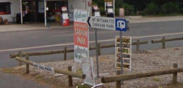
Entrance to the Mt Mittamatite Caravan Park Mt Mittamatite Caravan Park location map
, , , , , , , , ,
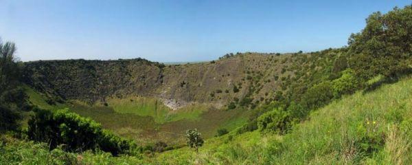
Mt Schank Picnic Area - Extinct Volcano
Entrance to the Mt Schank Picnic Area - Extinct Volcano Mt Schank Picnic Area - Extinct Volcano location map
, , ,
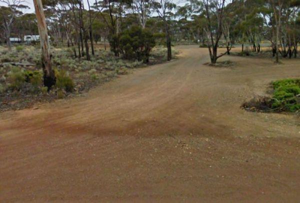
Entrance to the Mt Thirsty Rest Area Mt Thirsty Rest Area location map
, , ,
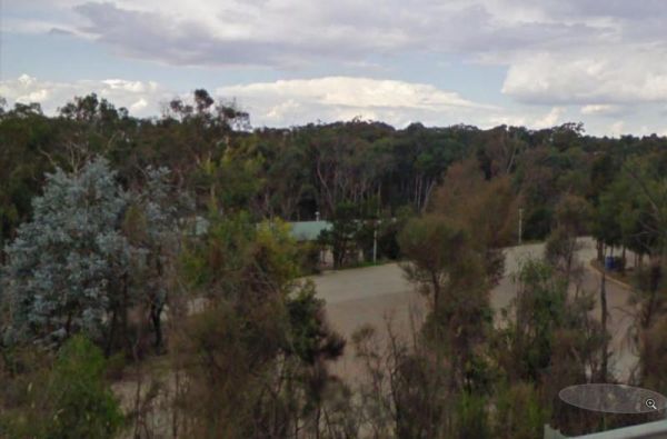
The Mundoonan Rest Area is an extremely well appointed rest area and accessible to northbound traffic on the Hume Highway. There are modern public toilets, undercover parking for cars, undercover picnic tables and free electric bbqs rubbish bins and emerg ...
Read More...
, , , , ,
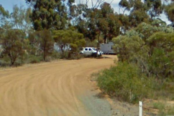
Entrance to the Munglinup Rest Area Munglinup Rest Area location map
, , , , ,
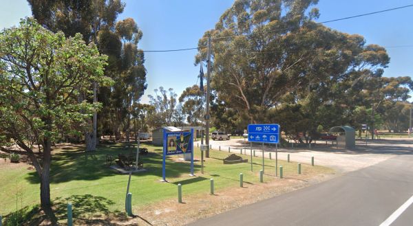
Murrayville Park Rest Area
The Murrayville Park Rest Area has a phone box and public toilet block, some old farm equipment on display, bbq, picnic tables, some shade spots to park your vehicle, and the Murrayville Hotel is directly across the road.
Entrance to the Murrayville Park ...
Read More...
, , ,
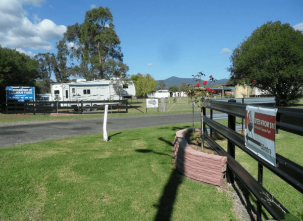
Murrurundi Caravan Park
Entrance to the Murrurundi Caravan Park Murrurundi Caravan Park location map
, , , , ,
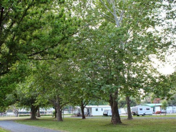
Myrtleford Holiday Park
Entrance to the Myrtleford Holiday Park Myrtleford Holiday Park location map
, , , , , , , , , , ,
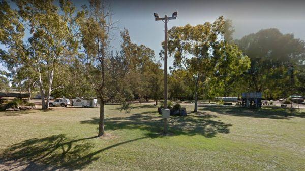
From the Nanango Tipperary Flat Rest Area you can stock up on supplies from the main strip shopping centre, which is located on the D'Aguilar Highway, Nanango.
Entrance to the Nanango Tipperary Flat Rest Area
Nanango Tipperary Flat Rest Area location ...
Read More...
, , , ,
Entrance to the Narrawong Caravan Park Narrawong Caravan Park location map
, , , , , , , , ,
Plenty of spots at the Narrung Jetty Reserve, all on a nice grassy area within easy walking distance of the waters edge. There are rubbish bins toilets and a water tap for washing dishes etc. NOTE: 72 Hour Limit for camping NOTE: 72 Hour Limit for camping ...
Read More...
, , , ,
Neerim South Caravan Park
Entrance to the Neerim South Caravan Park Neerim South Caravan Park location map
, , , , ,
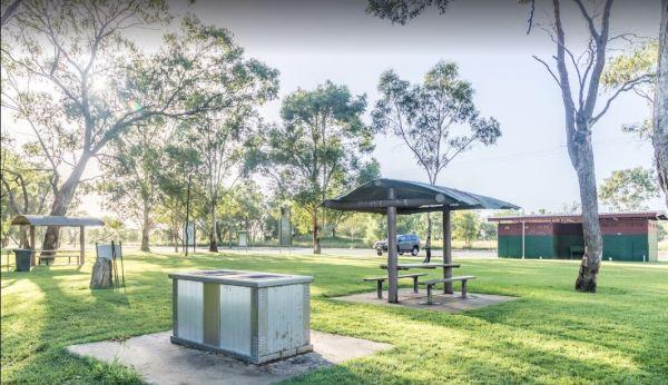
The Neil Turner Weir Rest Area is a nice safe area for your Kayak, the banks can be a bit steep, so be careful if you have young children. P.S. There is a Concrete Boat Ramp which will make it a lot easier to launch the larger rubber boats etc.
Entrance ...
Read More...
, , , , , , ,
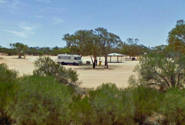
Nerren Nerren Rest Area 24 Hour Limit
Entrance to the Nerren Nerren Rest Area Nerren Nerren Rest Area location map
, , ,
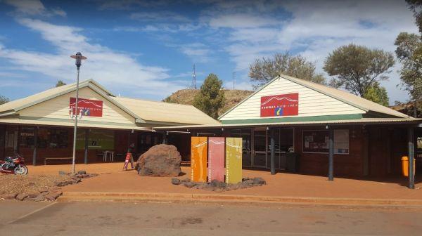
Entrance to the Newman Visitor Information Centre Newman Visitor Information Centre location map
, ,
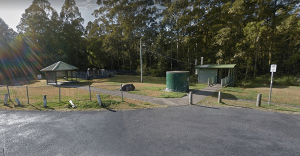
The Newmans Road Rest Area Southbound has an emergency phone is located at this spot along with a few rubbish bins. Entrance to the Newmans Road Rest Area Southbound Newmans Road Rest Area Southbound location map
, , , , ,
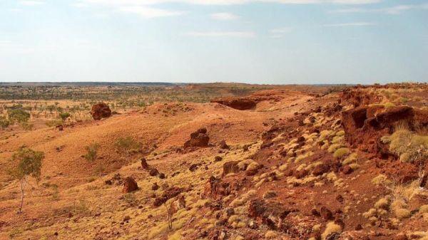
Ngumban Cliff Lookout Rest Area 24 Hour Limit
Entrance to the Ngumban Cliff Lookout Rest Area Ngumban Cliff Lookout Rest Area location map
, , , ,
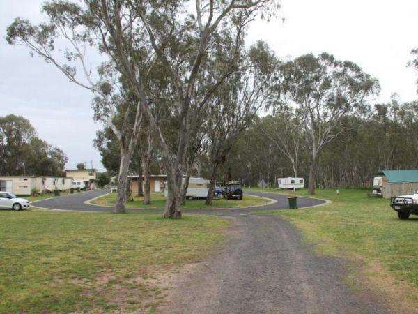
Entrance to the Nhill Caravan Park Nhill Caravan Park location map
, , , , , , , , ,
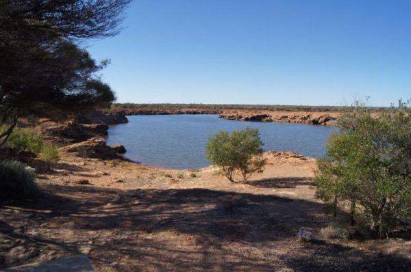
The Niagara Dam Camping Area is a great place to camp for a night or a week has public long drop toilets, a black water dump point, rubbish bins and fire pits, be sure to bring your own drinking water.There are two short walking trails from the day use ar ...
Read More...
, , , , ,
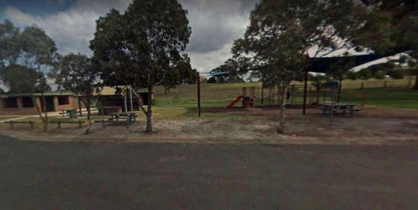
Entrance to the Nicholson Rest Area Nicholson Rest Area location map
, , , , , ,
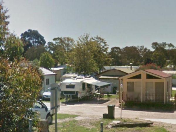
Entrance to the Nicholson River Caravan Park Nicholson River Caravan Park location map
, , , , , , , , , , , ,
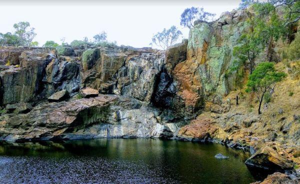
The Nigretta Falls Scenic Reserve were previously known as the Upper Wannon Falls, these waterfalls are located in the Southern Grampians Shire, approximately 16 kilometres west of Hamilton. There are three different viewing areas, one from car park and w ...
Read More...
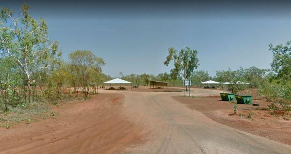
Entrance to the Nillibubbica Rest Area Nillibubbica Rest Area location map
, , , ,
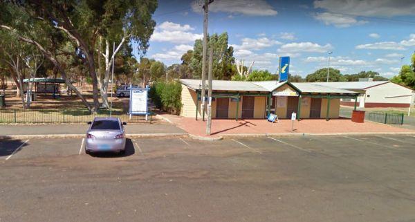
Entrance to the Norseman Visitor Centre Norseman Visitor Centre location map
, ,
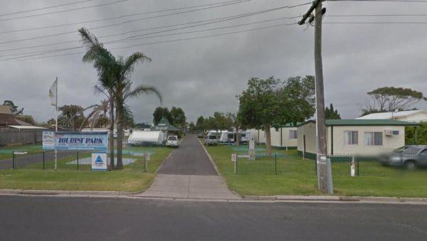
North Arm Tourist Park
Entrance to the North Arm Tourist Park North Arm Tourist Park location map
, , , , , , , , ,
NRMA Bairnsdale Riverside Holiday Park
The NRMA Bairnsdale Riverside Holiday Park is pet friendly and has a great location next to the Mitchell River, plus its within easy walking to the local shops, and restaurants.
Entrance to the NRMA Bairnsdale Riverside Holiday Park
NRMA Bairnsdale Ri ...
Read More...
, , , , , , , ,
The NRMA Bright Holiday Park is located on the banks of Morse’s Creek which flows into the Ovens River all within easy walking distance from your campsite. Entrance to the NRMA Bright Holiday Park NRMA Bright Holiday Park location map
, , , , , , , , , , , ,
Entrance to the NRMA Halls Gap Holiday Park BIG4 NRMA Halls Gap Holiday Park BIG4 location map
, , , , , , , , , , , , , ,
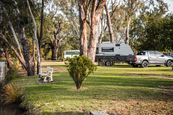
Entrance to the the Numurkah Caravan Park.
, , , , , ,
Entrance to the Nungarry Rest Stop Southbound Only Nungarry Rest Stop Southbound Only location map
, , ,
Nyah Lions Club Recreation Reserve Camping Area, is an amazing place to camp at. With plenty of room for any size camper and access to the river, there's a dump point and potable water available, along with rubbish bins, bbqs are provided free for all to ...
Read More...
, , , , , , ,
Entrance to the Nyah Village Caravan Park Nyah Village Caravan Park location map
, , , , , ,
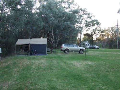
Entrance to the Nyngan Riverside Tourist Park Nyngan Riverside Tourist Park location map
, , , , , , , , , ,
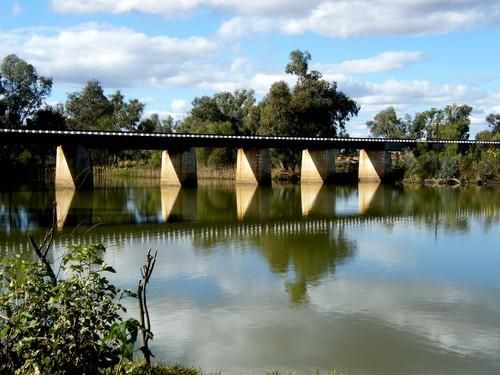
At the Nyngan Rotary Park Rest Area there is No Camping permitted at this location, it is a rest areas only. Entrance to the Nyngan Rotary Park Rest Area Nyngan Rotary Park Rest Area location map
, , , , ,
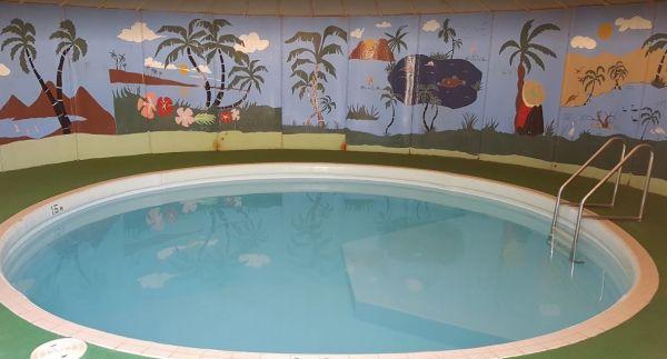
Oasis Tourist Park
Entrance to the Oasis Tourist Park Oasis Tourist Park location map
, , , , , , , , ,
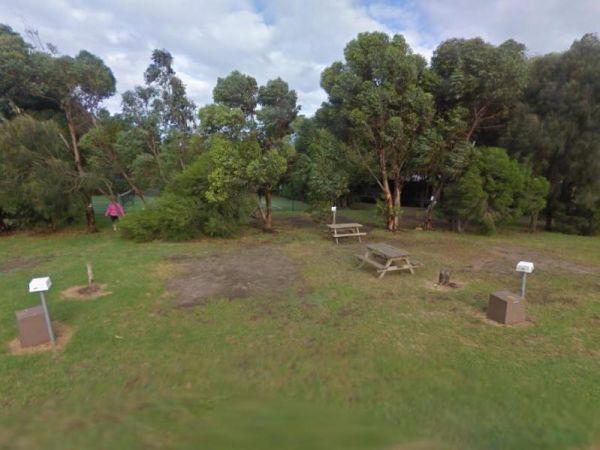
Ocean Grove Holiday Park
Entrance to the Ocean Grove Holiday Park Ocean Grove Holiday Park location map
, , , , , , , ,
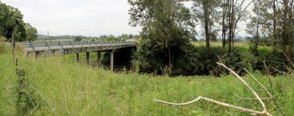
Old Bonalbo Pioneers Park Rest Area 24 Hour Limit
The Old Bonalbo Pioneers Park Rest Area has room to park your caravan and is right on the banks of the Duck Creek for fishing enthusiasts. You will experience a bit of Road noise, but apart from that, it's a nice spot for an overnighter.
Entrance to the ...
Read More...
, , , , ,
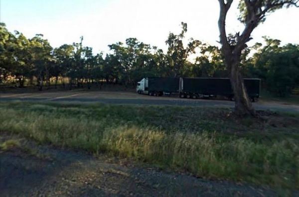
Entrance to the Ooma Creek Rest Area Ooma Creek Rest Area location map
, , ,
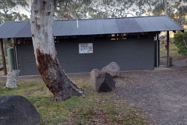
Orroral Campground
Orroral Campground is located in a National Park and can accommodate up to six small camper trailers or campervans, there are also plenty of vehicle tent spaces available. There is plenty of wildlife around - kangaroos, birds, frogs, possums etc.
This ca ...
Read More...
, , ,
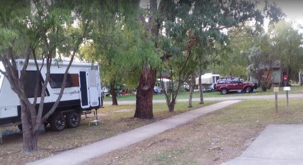
Otways Tourist Park
Entrance to the Otways Tourist Park Otways Tourist Park location map
, , , , , , , , , , , ,
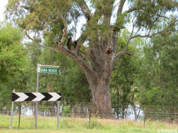
The Oura Beach Reserve is a huge area so you should always find a nice grassy site with access to the Murrumbidgee River on your doorstep, drop a line in or try out your Kayak and remember to take your camera.
Entrance to the Oura Beach Reserve
Oura B ...
Read More...
, , , , ,
Overshot Hill Nature Reserve 24 Hour Limit - PERMANENTL...
Entrance to the Overshot Hill Nature Reserve Overshot Hill Nature Reserve location map
, , ,
Oxley's Crossing Rest Area
The Ourimbah Exit Rest Area is a popular spot, there is a public toilet, water taps, plus quite a few undercover picnic tables, and rubbish bins. Parking can be a bit tricky with caravans on public holidays, but you can drive through if you don't find a s ...
Read More...
, ,
Paddys River Rest Area
You can catch some trout at the Paddys River Rest Area, it's a nice place to spend a few minutes, or for an overnight stop if needed. There is a children's playground, and bbqs here.
Entrance to the Paddys River Rest Area
Paddys River Rest Area locati ...
Read More...
, , , ,
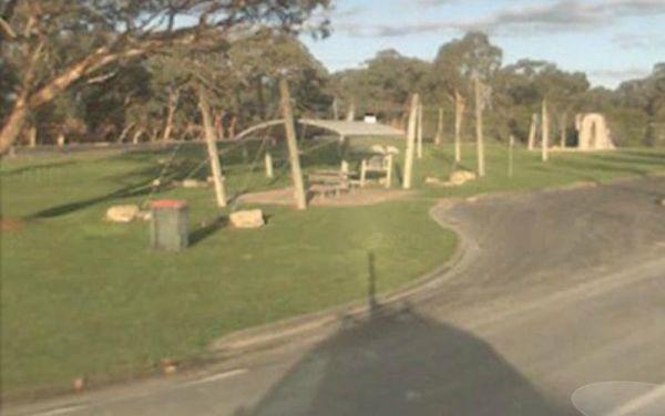
The Padthaway Park Rest Area is quite a long Apex Park with plenty of places to pull over for a rest. There is a public toilet, some rubbish bins, and a children's playground.
Entrance to the Padthaway Park Rest Area
Padthaway Park Rest Area location ...
Read More...
, , , ,
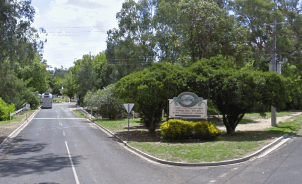
Painters Island Caravan Park
Entrance to the Painters Island Caravan Park Painters Island Caravan Park location map
, , , , , , , , , ,
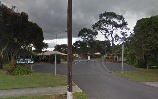
Entrance to the Pakenham Caravan Park Pakenham Caravan Park location map
, , , , , ,

Peak Charles National Park Camping Area
The Peak Charles National Park Camping Area is located at the base of the largest granite outcrop in the Great Western Woodlands. The campground is small with some shade available, theres public long drop toilets, fire pits, undercover picnic tables, and ...
Read More...
, ,
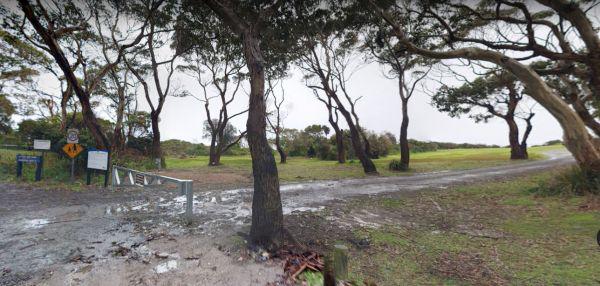
Peggs Beach Conservation Area Campgrounds
The Peggs Beach Conservation Area Campgrounds has no Power available, Bring your Own Wood for the BBQ's, this campground is controlled by Parks Tasmania. This is a popular spot with easy access to nice sandy beaches.
Entrance to the Peggs Beach Conservat ...
Read More...
, , , ,
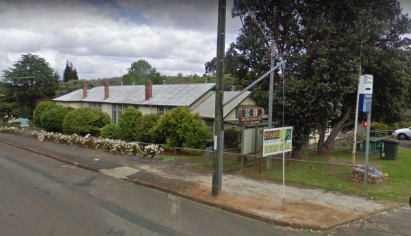
Entrance to the Pemberton Visitor Information Centre Pemberton Visitor Information Centre location map
, ,
Visiting the Perth Lions Park Rest Area might be a bit of a tight squeeze if you have a big rig and try to park in Little Mulgrave Street, as the end of the street is a court, and you might have trouble turning.
Entrance to the Perth Lions Park Rest Area ...
Read More...
, , , , ,
Entrance to the Peter Denny Lookout Peter Denny Lookout location map
, ,
The Petrudor Rock Camping Area has plenty of space for a caravan, there is a long drop toilet and some picnic tables, plus a few walking tracks. It's a nice spot to enjoy the wildflowers when there in season, and a large expanse of granite, with flowing w ...
Read More...
, , , ,
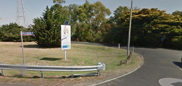
Entrance to the Phillip Island Caravan Park Big4 Phillip Island Caravan Park Big4 location map
, , , , , , , , , , , ,
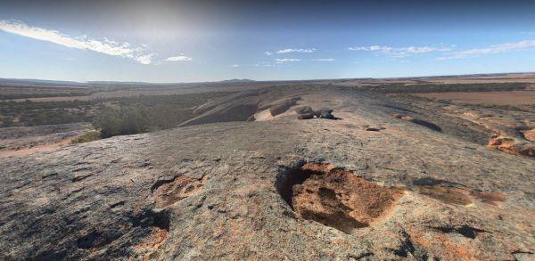
The Pildappa Rock is a beautiful place to pop in on your way to your overnight destination, many photo opportunities available here. Note: The local council does not encourage camping here. Pildappa Rock location map
, ,
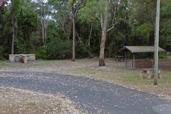
Pilgrim Memorial Park Rest Area
The Pilgrim Memorial Park Rest Area is just outside Brunswick on Tweed Street, there is room to park your caravan, a public toilet, some picnic tables and rubbish bins, and a wood fired bbq. With the Simpsons Creek on the other side of Tweed Street, grab ...
Read More...
, , , , , ,
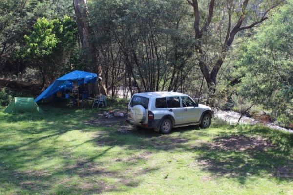
Pinch River Camping Area
When stopping at the Pinch River Camping Area is split into two camping grounds on both sides of the Pinch River. This is a nice spot to stay along the Barry way. with some long drop toilets, picnic shelters and fire rings. The pinch river is a small cree ...
Read More...
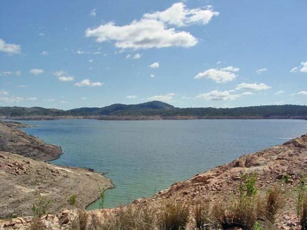
The Pindari Dam Camping Area is utopia if you enjoy fishing and camping and has a boat ramp available if needed. There is plenty of shoreline fishing spots available, great place for a kayak and camera , undercover picnic tables, public long drop toilets, ...
Read More...
, , , , ,
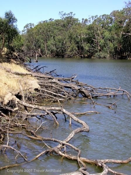
Entrance to the Pocock Park Rest Area Pocock Park Rest Area location amp
, , , , , ,
Porepunkah Holiday Park Big4
Entrance to the Porepunkah Holiday Park Big4 Porepunkah Holiday Park Big4 location map
, , , , , , , , , , , , , , , ,
Porepunkah Pines Tourist Resort
Entrance to the Porepunkah Pines Tourist Resort Porepunkah Pines Tourist Resort location map
, , , , , , , , , , , , ,
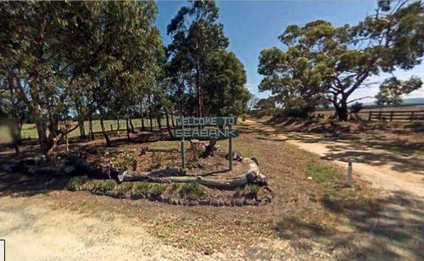
Port Albert Seabank Caravan Park
Entrance to the Port Albert Seabank Caravan Park Port Albert Seabank Caravan Park location map
, , , , , ,
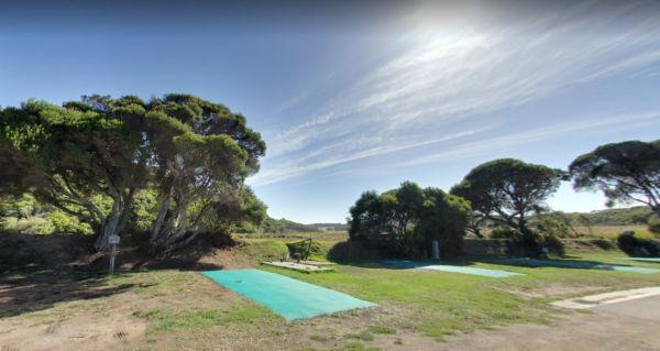
Port Campbell Caravan Park
Entrance to the Port Campbell Caravan Park Port Campbell Caravan Park location map
, , , , , , , , ,

Port Fairy Anchorage Holiday Park BIG4
Entrance to the Port Fairy Anchorage Holiday Park BIG4 Port Fairy Anchorage Holiday Park BIG4 location map
, , , , , , , , , , , , , , , , , , , ,
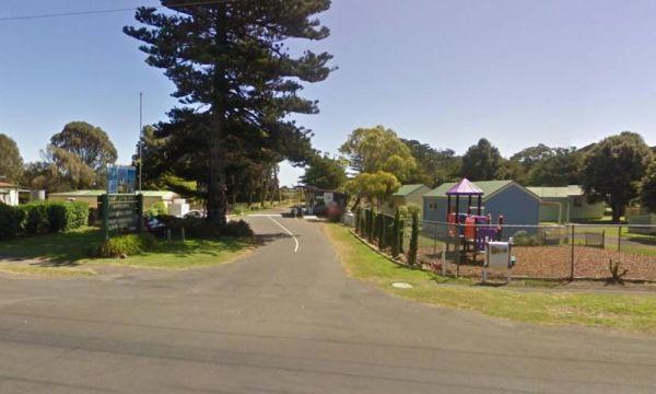
Port Fairy Holiday Park
Entrance to the Port Fairy Holiday Park Port Fairy Holiday Park location map
, , , , , , , , , , , , ,
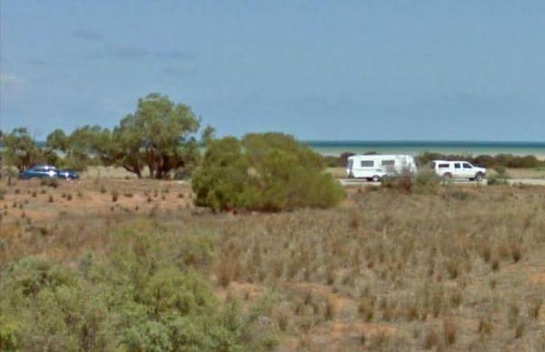
Port Gibbon Camping Area
If your planning on going to Port Gibbon Camping Area be sure to bring plenty of supplies with you, as there are no local shops to replenish from, and I'm sure you will get fed up eating fish everyday and nothing else.
Entrance to the Port Gibbon Camping ...
Read More...
, , , , , , , ,
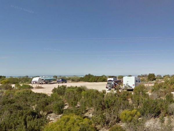
The Port Parham Foreshore Camping Reserve is a really nice location, but make sure you bring plenty of supplies with you as there are no shops close by to stock up.
Note: For those of you tent camping, make sure you have heavy duty tent pegs as the groun ...
Read More...
, , , ,
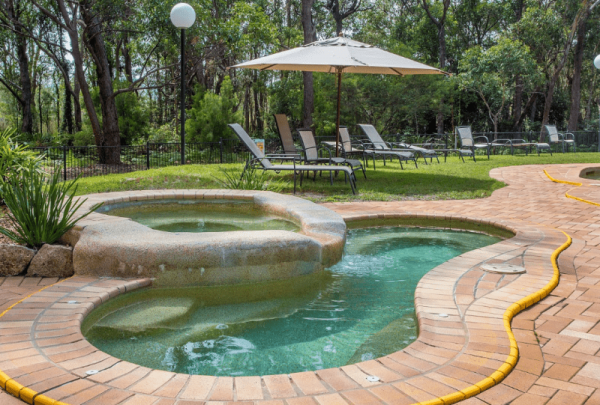
Port Stephens Treescape Camping and Accommodation
Entrance to the Port Stephens Treescape Camping and Accommodation Port Stephens Treescape Camping and Accommodation location map
, , , , , , , ,
Entrance to the Portland Holiday Village Portland Holiday Village location map
, , , , , , , ,
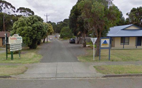
Entrance to the Portland Tourist Park Portland Tourist Park location map
, , , , , , , , , , ,
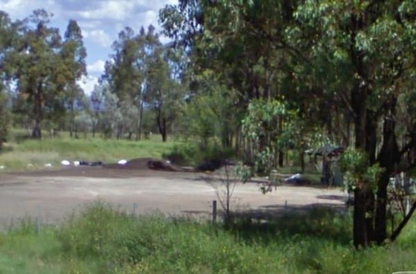
The Pothana Lane Rest Area is near the corner of Belford Street and Porthana Lane. There is plenty of room to turn around even the largest rigs. A public toilet, an undercover picnic table and rubbish bin and an emergency supply of tank water is what awai ...
Read More...
, , ,
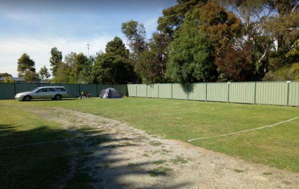
Entrance to the Prom Central Caravan Park Prom Central Caravan Park location map
, , , , , , , , , ,
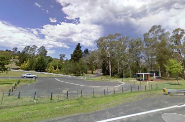
Entrance to the Quaama Rest Area Quaama Rest Area location map
, , , ,
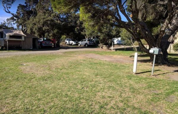
Queenscliff Victoria Park
Entrance to the Queenscliff Victoria Park Queenscliff Victoria Park location map
, , , ,
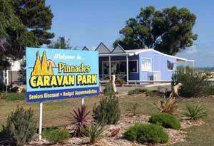
Entrance to the RAC Cervantes Holiday Park RAC Cervantes Holiday Park location map
, , , , , , , , , ,
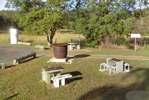
The Ramornie Rest Area can be a bit of a tight squeeze for big rigs if few are parked here. Entrance to the Ramornie Rest Area Ramornie Rest Area location map
, ,
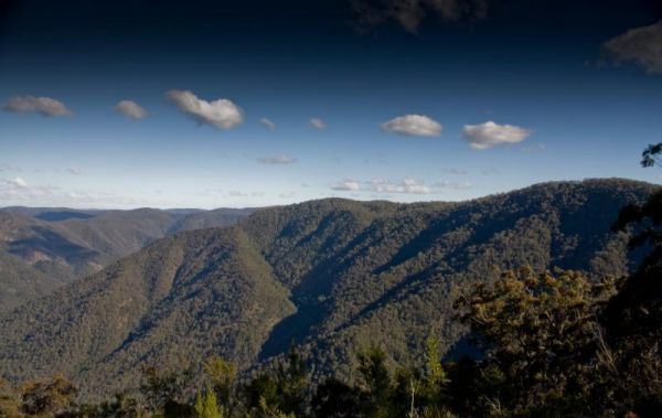
Raspberry Lookout Gibraltar Range National Park Rest Ar...
Raspberry Lookout Gibraltar Range National Park Rest Area location map
, ,
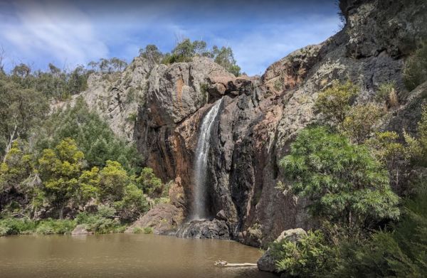
The cascades and falls are first rate at the Raymond Creek Falls Campground, there is a large swimming hole at the base of the falls and some smaller holes at the top. This campsite has some picnic tables, wood fired BBQ's, and public toilets. There is a ...
Read More...
,
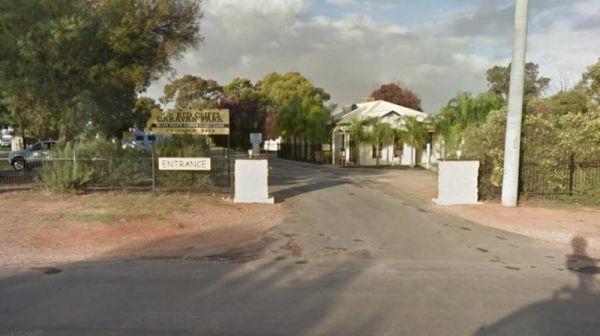
Red Cliffs Caravan Park
Entrance to the Red Cliffs Caravan Park Red Cliffs Caravan Park location map
, , , , , , ,
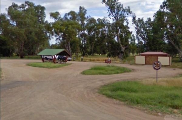
Entrance to the RedBank Rest Area RedBank Rest Area location map
, , , , , ,
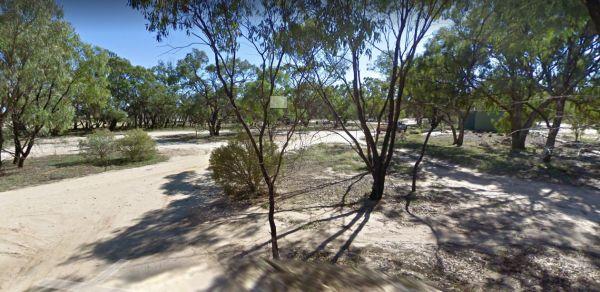
Reddas Park Camping Area toilets have two hot and cold showers each, and are clean and tidy and the nighttime lights are timed by push button. There are 2 powered camping areas, each with a power pole and four outlets. This campground is illuminated at ni ...
Read More...
, , , , ,
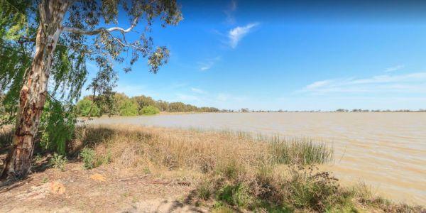
Reedy Lake Apex Park Rest Area
Entrance to the Reedy Lake Apex Park Rest Area Reedy Lake Apex Park Rest Area location map
, ,
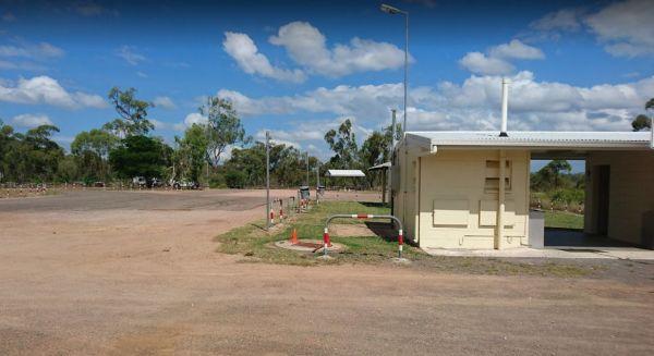
Reid River Rest Area
The Reid River Rest Area is not a bad spot to have a rest from driving, but not a lot to do or see at this location as the river is mostly dry and flows in the wet season. Entrance to the Reid River Rest Area Reid River Rest Area location map
, , , ,
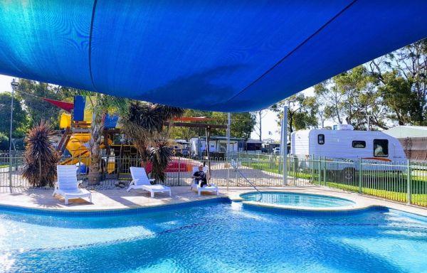
Resthaven Caravan Park
Entrance to the Resthaven Caravan Park Resthaven Caravan Park location map
, , , , , , , , , , ,
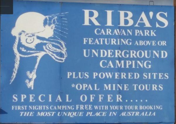
Riba's Underground Camping & Caravan Park
When staying at the Riba's Underground Camping & Caravan Park, the first night you're camping FREE with mine tour booking! Riba's Underground Camping & Caravan Park location map
, , , , ,
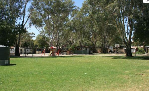
Entrance to the Riverlander Caravan Park Riverlander Caravan Park location map
, , , , , , ,
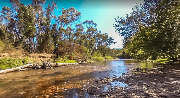
Riverview Caravan Park
Entrance to the Riverview Caravan Park Riverview Caravan Park location map
, , , , , , , , , , , ,
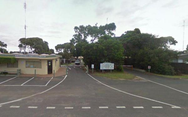
Riverview Family Caravan Park
Entrance to the Riverview Family Caravan Park Riverview Family Caravan Park location map
, , , , , , , , ,
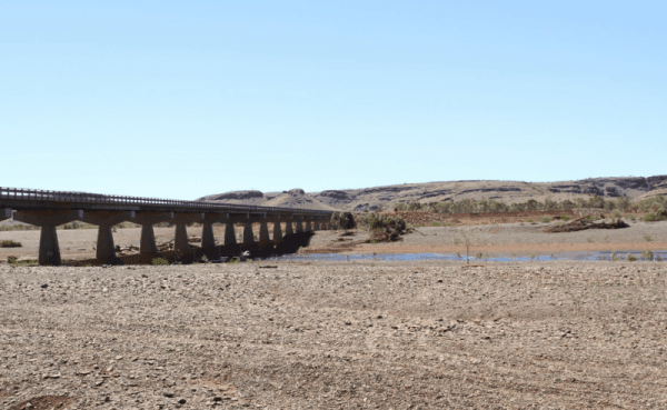
Entrance to the Robe River Rest Area Robe River Rest Area location map
, , , , ,
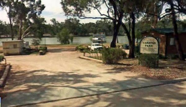
Entrance to the Robinvale Riverside Caravan Park Robinvale Riverside Caravan Park location map
, , , , , , , , ,
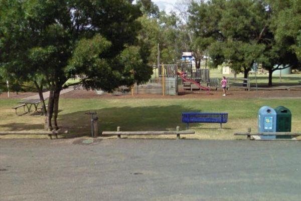
Rose Bay Park Rest Area 12 Hour Limit
The Rose Bay Park Rest Area is a lovely park with shady trees and good playground for kids, plus a skate ramp and Basketball hoops. There is also a public toilet, some undercover picnic tables, rubbish bins and free electric BBQ's . You can easliy walk ov ...
Read More...
, , , , , , , ,
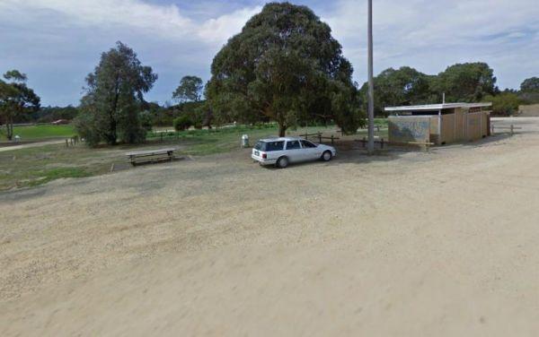
Entrance to the Rosedale Vicroads Wayside Stop Rosedale Vicroads Wayside Stop location map
, , ,
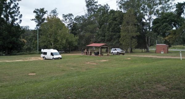
The Roses Park Rest Area is a lovely place to let a few hours drift away, drop the kayak and do a quick explore or a bit of river fishing in time for dinner. Entrance to the Roses Park Rest Area Roses Park Rest Area location map
, , , , ,
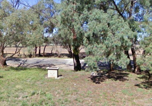
Entrance to the Ryan Creek Rest Area Ryan Creek Rest Area location map
, ,
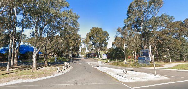
The Sale Visitor Centre is located in the council building. Entrance to the Sale Visitor Centre Sale Visitor Centre location map
, , ,
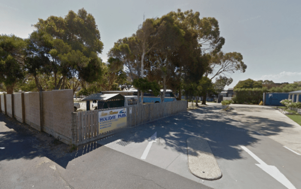
Entrance to the San Remo Holiday Park San Remo Holiday Park location map
, , , , , ,
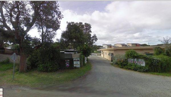
Sandy Point Holiday Park
Entrance to the Sandy Point Holiday Park Sandy Point Holiday Park location map
, , , , , , ,
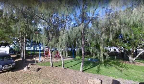
Saunders Beach Park Rest Area 48 Hour Limit
When stopping at the Saunders Beach Park Rest Area bear in mind the maximum number of stays at any of these sites is 48 hours once per week. Council officers routinely visit camping areas to check on how long people have stayed. If it is found that camper ...
Read More...
, , , , ,
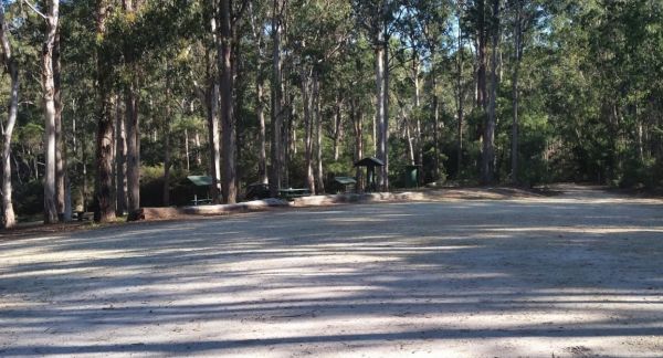
Scrubby Creek Rest Area
Scrubby Creek Rest Area is a fantastic place to stop, clean and quiet, fireplace rotating bbq facilities, picnic tables, a large dumpmaster bin, with room to park your caravan. You are close to the highway, so expect some noise during the day, but it's be ...
Read More...
, ,
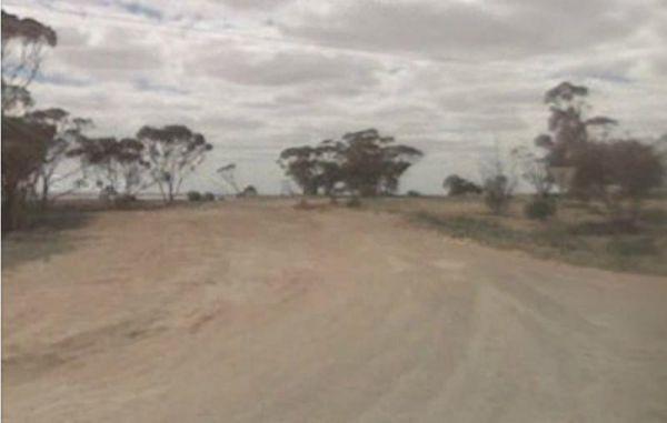
Entrance to the Sea Lake North Rest Area Sea Lake North Rest Area location map
,
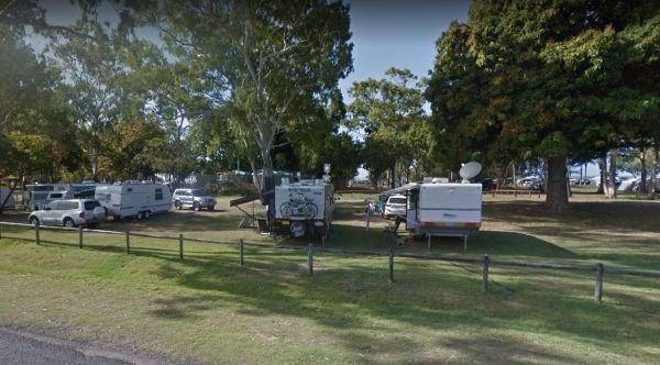
The Seaforth Foreshore Reserve Camping Area has a camp kitchen, toilets, showers, BBQ, powered and unpowered sites, washing machines, easy access to the beach, even outside showers Bookings are advised for peak periods. Seaforth - Booking office is locate ...
Read More...
, , , , , , , ,
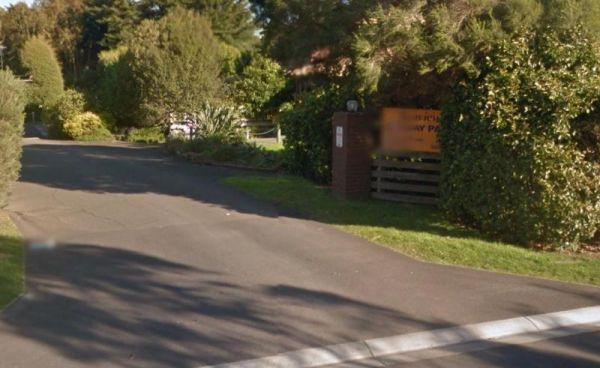
Entrance to the Seaview Holiday Park Seaview Holiday Park location map
, , ,
Entrance to the Seven Mile Beach Holiday Park Seven Mile Beach Holiday Park location map
, , , , , , , , , ,
The Seymour Regional Visitor Information Centre is located in the Old Court House historic building. There is also a small art gallery to look at when you visit here.
Entrance to the Seymour Regional Visitor Information Centre
Seymour Regional Visitor ...
Read More...
, ,
The Shadbolts Picnic Area well maintained and with toilets and picnic tables. Very quiet and some great walks to be had here. This is not the best setup for caravans to park here.
Entrance to Shadbolts Picnic Area
Shadbolt Camping Area the location ma ...
Read More...
,
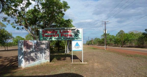
Entrance to the Shady Lane Tourist Park Shady Lane Tourist Park location map
, , , , , ,
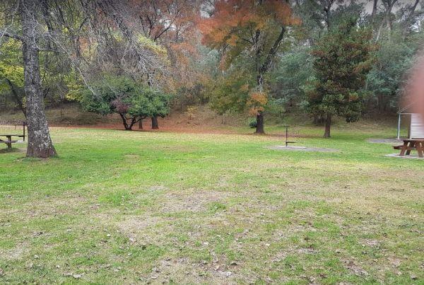
Sheepyard Flat Camping Area
The Sheepyard Flat Camping Area is a lovely quiet and relaxing campsite that has plenty of grassy areas to choose from on the banks of the Howqua River. For the fishermen amongst us, the river seems to only hold carp, but I could be wrong. To get to the c ...
Read More...
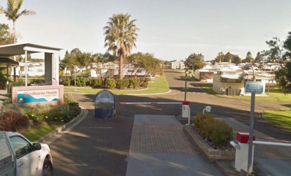
Shoalhaven Heads Holiday Park
Entrance to the Shoalhaven Heads Holiday Park Shoalhaven Heads Holiday Park location map
, , , , , , , , , , , , ,
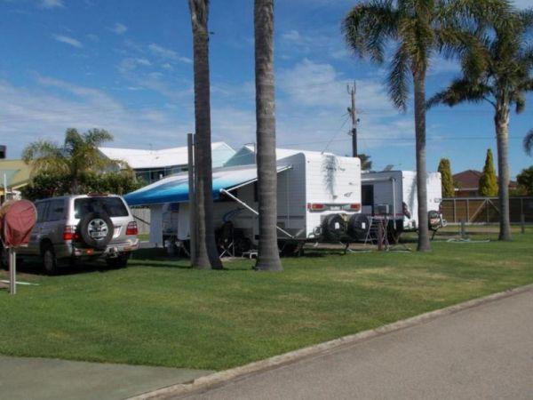
Silver Sands Tourist Park
Entrance to the Silver Sands Tourist Park Silver Sands Tourist Park location map
, , , , , , , , ,
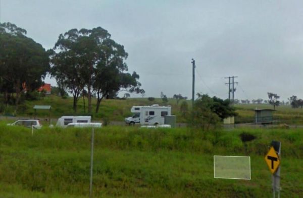
Singleton East Rest Area Will be Permanently Closed on ...
Entrance to the Singleton East Rest AreaWill be Permanently Closed on the 20th February 2020 Singleton East Rest Area location map
, , , ,
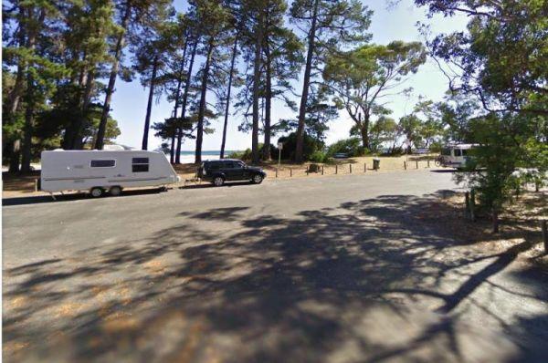
Sisters Beach Foreshore Parking Area
The Sisters Beach Foreshore Parking Area is a pleasant day stopover, with the foreshore only a few steps away from the car park, and a nice place to enjoy a picnic.
No Camping Permitted
Entrance to the Sisters Beach Foreshore Parking Area
Sisters Bea ...
Read More...
, , , , ,
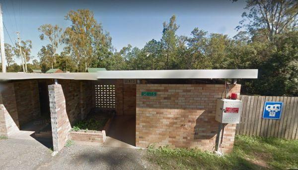
The Six Mile Creek Rest Area has picnic tables, public toilets and dump point plus rubbish bins here, very noisy as right on highway, and a few local drunks who seem to congregate here. Note: a Maximum stay of 20 hours, fines apply if you exceed it.
Entr ...
Read More...
, , , , ,
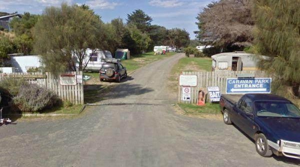
Skenes Creek Beachfront Park
Entrance to the Skenes Creek Beachfront Park Skenes Creek Beachfront Park location map
, , , , , , , , , , ,
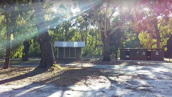
The Smiths Bridge Campground, is fairly close to the main road, but not to many cars at night so you can relax in amongst the tall trees, and take advantage of public toilets and the picnic facilities.
Entrance to the Smiths Bridge Campground
Smiths B ...
Read More...
, , , ,
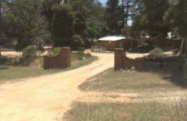
Smythesdale Park Rest Area
The Smythesdale Park Rest Area has room for caravans and motorhomes. There is a small fee charged for those interested in camping at the Park. Entrance to the Smythesdale Park Rest Area Smythesdale Park Rest Area location map
, , ,
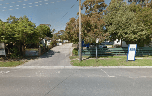
Entrance to the Somers Caravan Park Somers Caravan Park location map
, , , , , , ,
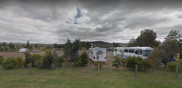
The Sorell Council Overnight Stop Area is a simple no frills place where you can empty your Porta Potti, swing a cat and let the dog and kids go crazy for a while. Be sure to stock up on your supplies in the main town before leaving. there is a maximum of ...
Read More...
, , , ,
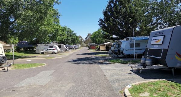
Entrance to the South Canberra Caravan Park South Canberra Caravan Park location map
, , , , , , , ,
The South Esk Lions Park Rest Area is set on the Banks of the South Esk River, a nice spot for a picnic, you could try your hand at fishing, drop your kayak in, or use the boat ramp if you prefer.
Entrance to the South Esk Lions Park Rest Area
South E ...
Read More...
, , , , ,
Entrance to the Spring Creek Rest Area Spring Creek Rest Area location map
, , , , , ,
Spring Hill Rest Area
At the Spring Hill Rest Area you will find an undercover children’s playground, Undercover picnic tables, public toilet, tank water and rubbish bins. There is a normally dry creek-bed to explore, overall it's a nice spot to take a rest and refresh yoursel ...
Read More...
, , , , , ,
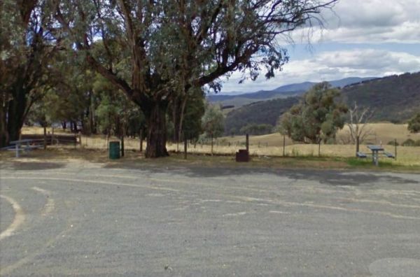
The Springfield Rest Area is right on the doorstep of Springfield Orchard so you can stock up on some fresh fruit from the shop. Entrance to the Springfield Rest Area Springfield Rest Area location map
, , ,
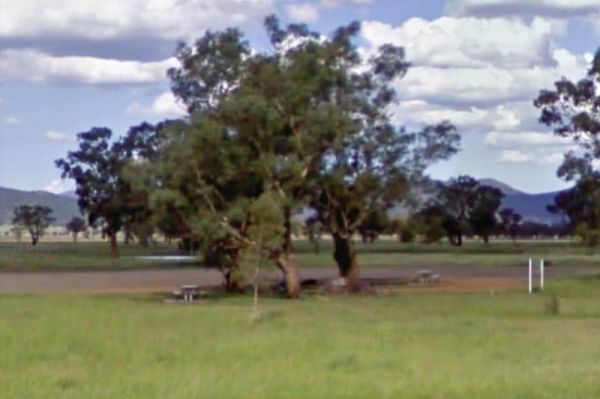
At the Square Bush Rest Area the picnic table and wood fired bbq that is under the shade of a large gum tree, and set well back from the main road, but you will still hear every road noise.
Entrance to the Square Bush Rest Area
Square Bush Rest Area l ...
Read More...
, , ,
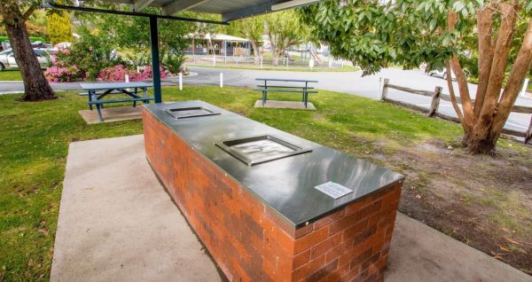
The St Helens Holiday Park Big4 location is with easy walking distance to town and the waters edge. This park has a well equipped camp kitchen and the outdoor camp kitchen with wood fired pizza oven.
Note to campers: At night they play the radio in the t ...
Read More...
, , , , , , , , , , , , , ,
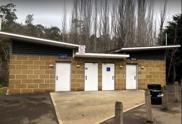
St Peters Pass Rest Area is a nice secluded rest stop, just north of Oatlands. Pass Creek runs behind the rest area, this is fairly level ground with an old stone shelter and picnic tables, public toilets and rubbish bins.
Entrance to the St Peters Pass ...
Read More...
, , , , ,
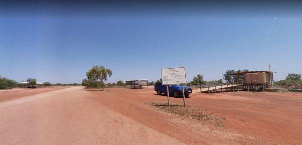
Stanley Rest Area 24 Hour Limit
Entrance to the Stanley Rest Area Stanley Rest Area location map
, , , ,
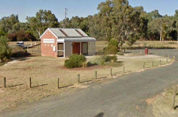
Entrance to the Stawell Federation Park Rest Area Stawell Federation Park Rest Area location map
, , ,
Entrance to the Stawell Grampians Gate Caravan Park
, , , , , , , ,
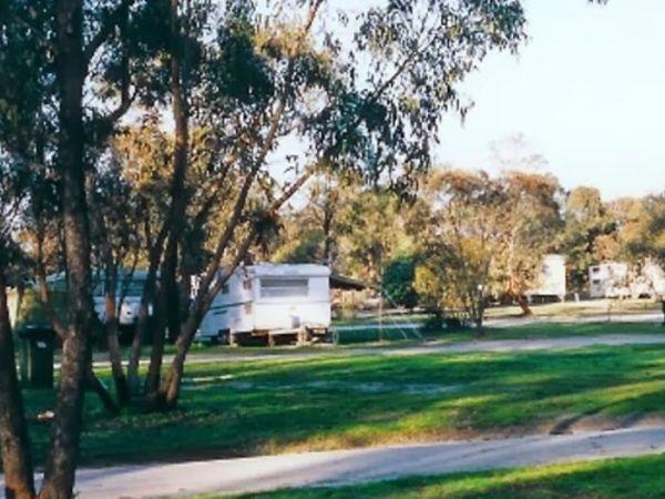
Stawell Park Caravan Park
Entrance to the Stawell Park Caravan Park Stawell Park Caravan Park location map
, , , , , , , , , , , , ,
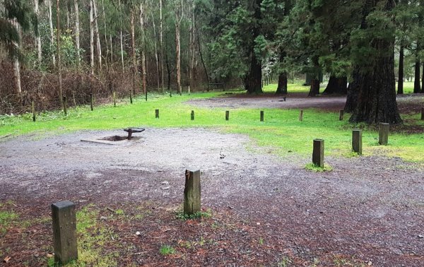
Stevenson Falls Scenic Reserve Rest Area
Stevenson Falls Scenic Reserve Location Map View Larger Map
, , , , ,

Stockmans Reward Camping Ground is a well set up camp ground with fire pits and a long drop toilet sand good access to water at Arnold Creek. There is a fair amount of suitable areas to camp at. You can get a small camper trailer in, but it's more suited ...
Read More...
, , , , ,
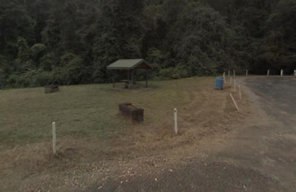
Stockyard Creek Rest Area
The Stockyard Creek Rest Area is located on the corner of Oxley Highway and Stockyard Creek Road, between Port Macquarie to Walcha. Its not the largest place to park your caravan but ample room to turn around if needed. There are public toilets, undercove ...
Read More...
, , , ,
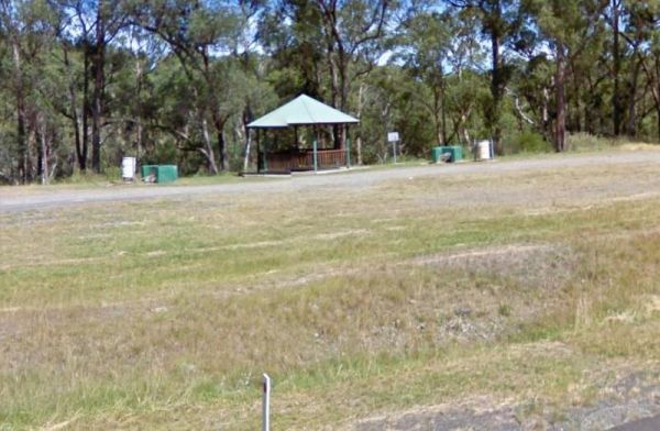
Entrance to the Stoney Creek Rest Area Stoney Creek Rest Area location map
, , ,
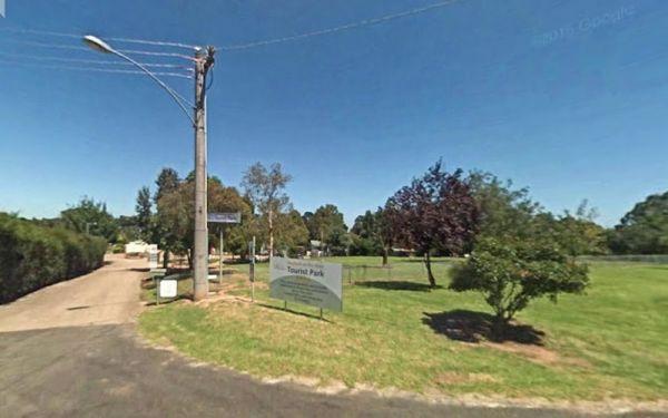
Entrance to the Stratford Top Tourist Park Stratford Top Tourist Park location map
, , , , , , , ,
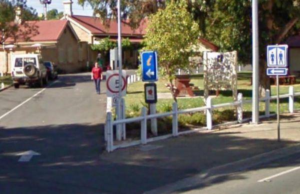
Strathalbyn Visitor Information Centre
The Strathalbyn Visitor Information Centre is located in the old Railway Station. It's well worth your time to drop in, and get more information as to what there is available to do and see in the local area.
Entrance to the Strathalbyn Visitor Informatio ...
Read More...
, , ,
Streaky Bay Park Free Dump Point
Entrance to the Streaky Bay Park Free Dump Point Streaky Bay Park Free Dump Point location map
, , , , ,
Sun City Caravan Park
Entrance to the Sun City Caravan Park Sun City Caravan Park location map
, , , , , , , , , ,
Entrance to the Surf Beach Holiday Park Surf Beach Holiday Park location map
, , , , , , , , , ,
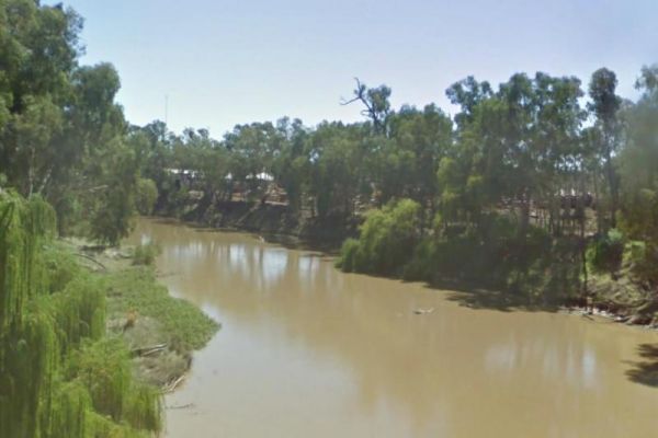
Swaggies Beach Camping Area
The Swaggies Beach Camping Area can be a bit hard to find unless you use GPS with off road maps is a great help in finding camping spots like this one. Swaggies Beach Camping Area location map
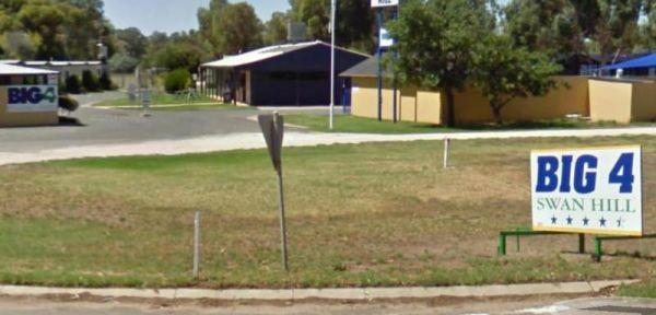
Entrance to the Swan Hill BIG4 Swan Hill BIG4 location map
, , , , , , , , , , , , , , , , ,
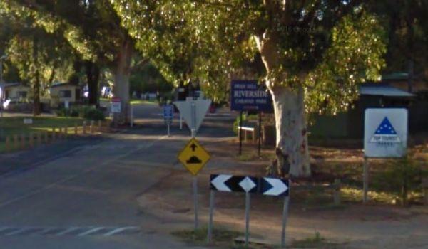
Entrance to the Big4 Swan Hill Riverside Caravan Park Big4 Swan Hill Riverside Caravan Park location map
, , , , , , , , , , , , ,
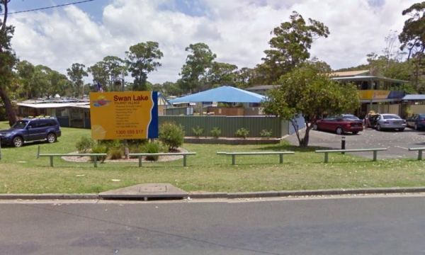
Entrance to the Swan Lake Holiday Park Swan Lake Holiday Park location map
, , , , , , , , , , , , , , ,
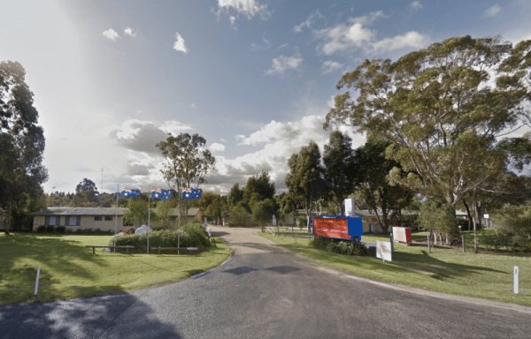
Swan Reach Gardens Tourist Park
Entrance to the Swan Reach Gardens Tourist Park Swan Reach Gardens Tourist Park location map
, , , , , , , , , , ,
Entrance to the Taggerty Holiday Park BIG4 Taggerty Holiday Park BIG4 location map
, , , , , , , , , , , , , , , , , , ,
Tall Timbers Tasmania, welcome you and your fully self-contained vehicle for maximum stays of up to 72 hours in any 14 day consecutive period.
Your visitors are welcome but out of respect to our other guests should not be in the park after 10pm or before ...
Read More...
, , , , , , , ,
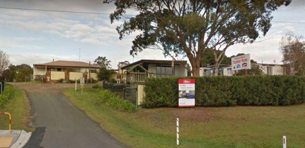
Tambo River Tourist Park
Entrance to the Tambo River Tourist Park Tambo River Tourist Park location map
, , , , , , , , ,
Entrance to the Tarpeena Margaret Medhurst Memorial Park Rest Area Tarpeena Margaret Medhurst Memorial Park Rest Area location map
, , , ,
Tarra Valley Caravan Park
Entrance to the Tarra Valley Caravan Park Tarra Valley Caravan Park location map
, , , , , , , , ,
Entrance to the Taungurung Truck Stop Rest Area (Southbound Only) Taungurung Truck Stop Rest Area (Southbound Only) location map
, , ,
Tawonga Caravan Park location map
, , , , , , , , , ,
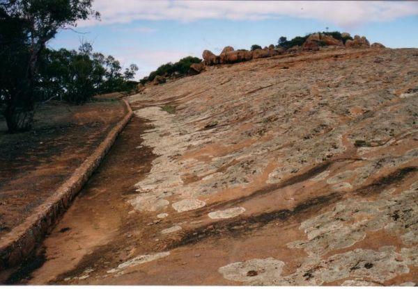
The Tcharkulda Rock Rest Area is a nice stop over for a couple of peaceful nights. With easy walks over and around the interesting granite rocks formations. There is a gas bbq, public toilets, an old stone hut with fireplace and some history to it. While ...
Read More...
, ,
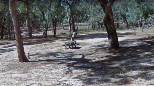
Teddington Reservoir Camping Area
When at Teddington Reservoir Camping Area, is an absolutely beautiful spot with flushing toilets, some fire pits, and quite a few places to choose a campsite for a day or two, there's plenty of wildlife passing by. You can walk over and take a look at the ...
Read More...
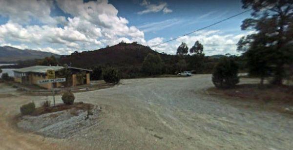
Teds Beach Camping Area
Teds Beach Camping Area has Free Electric BBQ, Boat Ramp, Great Views. Take an easy stroll along the walkway to get some great photos to remember this spot you visited on the Lake Pedder foreshore.
Entrance to the Teds Beach Camping Area
Teds Beach Ca ...
Read More...
, , , ,
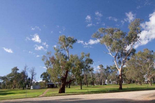
Terramungamine Reserve 24 Hour Limit
The Terramungamine Reserve is a great free place to camp right next to the river. It's great for swimming, water actives, canoes, kayaks etc. and for those who like fishing, Murray Cod and Golden Perch. The reserve is set well back from the main road, wit ...
Read More...
, , , , , ,
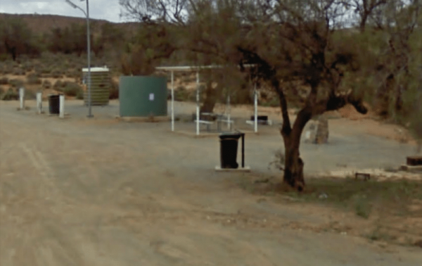
Thackaringa Hills Rest Area
At the Thackaringa Hills Rest Area you can pull off the Barrier Highway along a strip of gravell that has a few low trees for shade, a public toilet, undercover picnic table, rubbish bins and tank water. There is not a lot to do here, apart from sitting a ...
Read More...
, , , ,
Take a short toilet break at the Thangool Memorial Park Rest Area, check out the military hardware on-site, then pop down the road to the pup for a cold drink, before heading off again on your adventure.
The entrance to the Thangool Memorial Park Rest Ar ...
Read More...
, , , , , ,
Entrance to the The Bert Dix Memorial Park The Bert Dix Memorial Park location map
You need to register at the Boolarra Club Hotel first, if you want to camp at the Boolarra Recreation Reserve. Entrance to the The Boolarra Recreation Reserve The Boolarra Recreation Reserve location map
, , ,
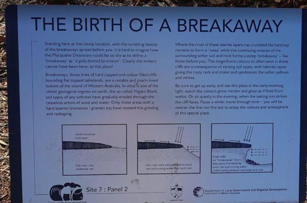
The Breakaways Camping Area is a truly beautiful and breathtaking location, where all the colours of orange are illustrated into the sand, cliffs and stone. It's an easy drive even in a two wheel drive as long as it's not raining or wet. There is a public ...
Read More...
, , ,
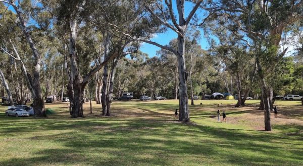
The Fort O'Hare Camping Area has large campsite with built in fire pits with bbq plate, a public drop toilet and picnic tables, located on the banks of the Glenelg River, pet friendly.
You will also find an Honesty box at the local store for camp fees. W ...
Read More...
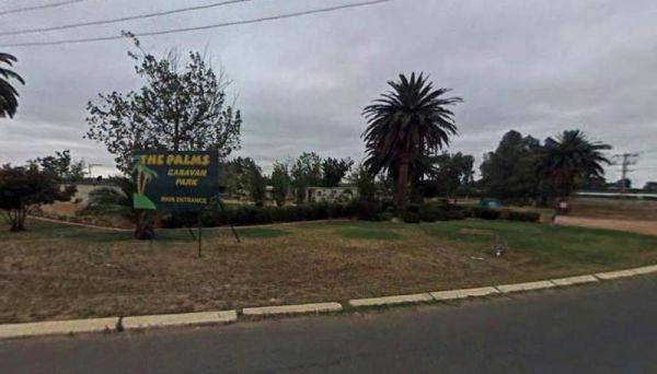
Entrance to the The Palms Caravan Park The Palms Caravan Park location map
, , , , , , , , , , ,
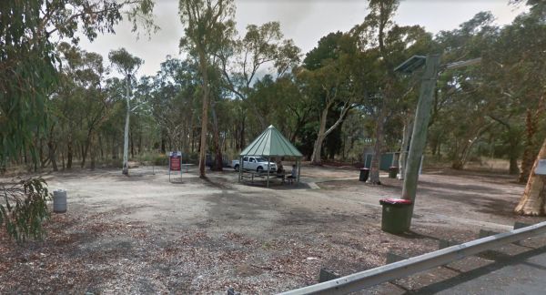
The 10 Mile Rocks Rest Area is a nice and level with lots of space available to pull over and take a rest from driving. There is an undercover picnic tablem rubbish bins and a public toilet
Entrance to the The Rocks Rest Area
The Rocks Rest Area locat ...
Read More...
, ,
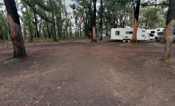
The Sawpit Forest Reserve Camp Area is a rough Bush Camp so bring everything with you including the kitchen sink. Plenty of camping sites to choose from once you get there. Entrance to the Sawpit Campground Sawpit Campground location map
,
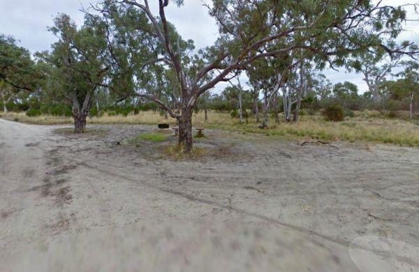
The Wattles Camping Area, you are not permitted to fly drones without a permit here. The camping area has a few suitable campsites available for tents, and smaller campervans than large caravans.
Entrance to the Wattles Camping Area
The Wattles Campin ...
Read More...
,
Entrance to the Thurra River Rest Area Thurra River Rest Area location map
, ,
Tia Falls Camping Area
The Tia Falls Camping Area is a good camping spot with free firewood, public toilets, with large level caravan sites. You will encounter Kangaroos and Wallabies and nice easy walking track to the falls 750 metre one-way, (then 750 metres back haha) take y ...
Read More...
, ,
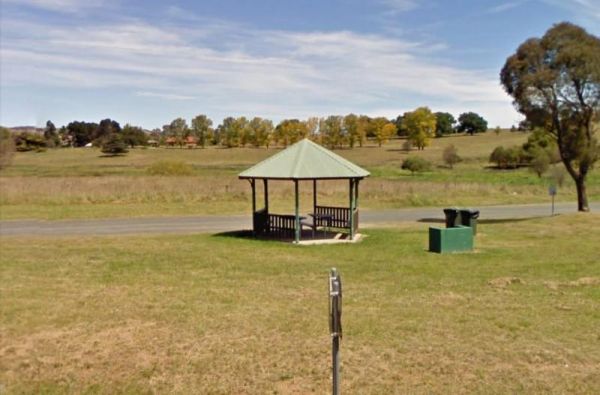
When at the Tia River Rest Area walk over to the Tia River and try your luck at angling. There is an undercover picnic table with wood fired bbq, and some rubbish bins. Entrance to the Tia River Rest Area Tia River Rest Area location map
, , , , ,
The Tiaro Memorial Park Free Camping Area is a great place to stop grab a meal and stock up on supplies, it also has Hot Showers in the amenities block. The Park has a 48 hour time limit on camping. Tiaro Memorial Park Free Camping Area location map
, , , ,
There is also off-road parking on the other side of the TM Price Rotary Park Rest Area for motorhomes, with a 24 Hour Limit and No Caravans permitted. Entrance to the TM Price Rotary Park Rest Area TM Price Rotary Park Rest Area location map
, , , ,
Entrance to Tolmie Rest Area Tolmie Rest Area location map
, , , ,
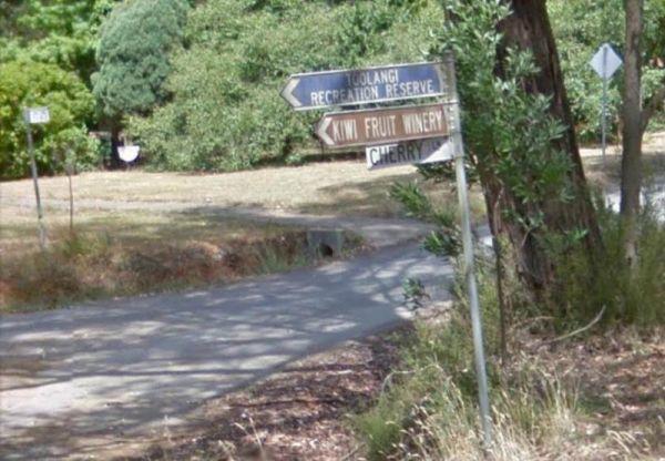
Toolangi Streamside Reserve location map
, ,
Entrance to the Tooleybuc Park Tooleybuc Park location map
, , , ,
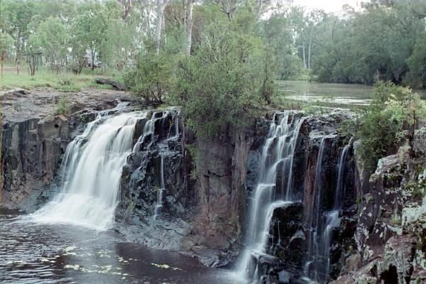
Tooloom Falls Camping Area
The Tooloom Falls Camping Area has a drop toilet and some basic facilities, with the main attraction being the waterfall. There’s a few picnic benches dotted around (some covered) and also fire pits. Tooloom Falls Camping Area location map
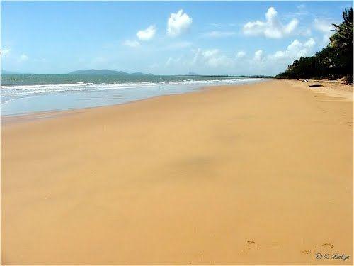
The Toomulla Beach Foreshore Reserve is located in Toomulla which is a small township approximately 47 kilometres north-east of Townsville, Queensland, Australia. At the 2006 Census, the population of Toomulla was 141. Located 2 kilometres north of the Br ...
Read More...
, , , , ,
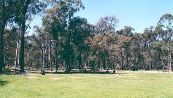
Entrance to the Toora Tourist Park Toora Tourist Park location map
, , , , , , , , , , , , , , ,
Entrance to the Tooradin foreshore camping Tooradin foreshore camping location map
, , , , ,
The Toorongo Falls Camping Area provides bush camping sites near the Toorongo River. Camping sites are available on a first come, first served basis and no booking is required.
Directions: From the Noojee Township head east for 4kms, then turn left onto ...
Read More...
, , ,
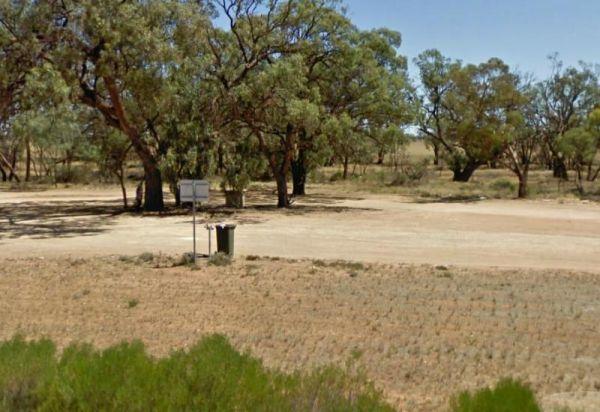
Entrance to the Torneys Tank Bushland Reserve Rest Area Torneys Tank Bushland Reserve Rest Area location map
, , ,
Entrance to the Torquay Foreshore Caravan Park Torquay Foreshore Caravan Park location map
, , , , , , , , , ,
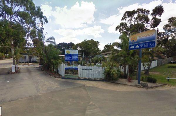
Entrance to the Torquay Holiday Park Torquay Holiday Park location map
, , , , , , , , , , , , , , ,
Trial Bay Gaol campground
At Trial Bay Gaol Campground the camp kitchen and toilets were very clean, hot showers are also available but on a timer. The unpowered sites are right on the beachfront, with the occasional kangaroo grazing nearby. There are also a few powered sites avai ...
Read More...
, , , , ,
Tullibigeal Pioneer Park Rest Area
The Tullibigeal Pioneer Park Rest Area is directly opposite the Co Op, so you can stock up on essential supplies, or walk up the road for a take away meal. P.S. You will need a long leads if you intend to use the free power at this site. (30 metre)
Entra ...
Read More...
, , , ,
You will need Camping permits to stay at Tully Gorge National Park Camping grounds, they are available both online and at the park. We advise you book in advance to avoid disappointment. Generator use is permitted between 9.00 am and 12.00 noon and only i ...
Read More...
, , , ,
At the Tumut Park Rest Area you can take a short stroll around the Park and stretch your legs. There are plenty of places to pull over and take a break from driving. Entrance to the Tumut Park Rest Area Tumut Park Rest Area location map
, , ,
Twin Dolphins Holiday Park has a nice swimming pool and camp kitchen, new amenities and spacious powered sites. It has lots of cycle paths that take you right to shops, bushland or the beach
Tuncurry Chinese Restaurant, 110 Manning Street
Royal India ...
Read More...
, , , , , , , , , , , ,
Entrance to the Underbool Park Underbool Park location map
, , ,
Entrance to the Valley View Caravan Park Valley View Caravan Park location map
, , , ,
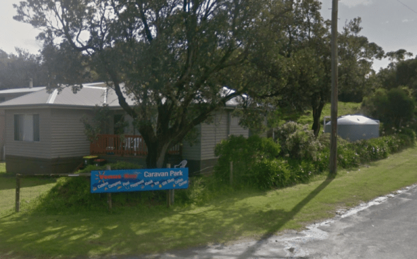
Entrance to the Venus Bay Caravan Park Venus Bay Caravan Park location map
, , , , , , , , , , ,
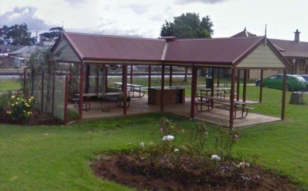
Entrance to the Victory Park Victory Park location map
, , ,
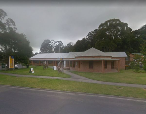
Visit Prom Country Information Centre, has Free Wi-Fi, very helpful and informative staff who will make sure you enjoy your visit to the area. They will also help you find the best accommodation to suit your needs. There is also plenty of room to park all ...
Read More...
, , , , ,
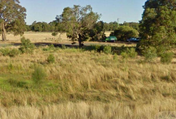
Entrance to the Wagerup Rest Area Wagerup Rest Area location map
, , ,
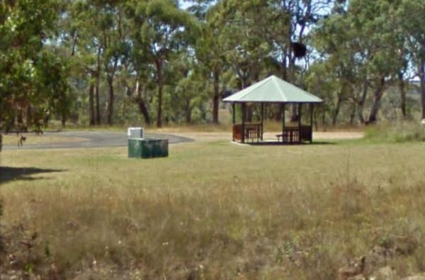
The Walcha East Rest Area has very large bays for B Doubles etc, and plenty of room for caravans. This site is set back from the Oxley Highway, with public toilets, undercover picnic table, a bbq fireplace and a few rubbish bins, plus some trees for shade ...
Read More...
, , , ,
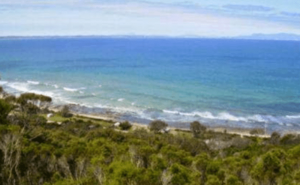
Walkerville Foreshore Camping Reserve
Entrance to the Walkerville Foreshore Camping Reserve Walkerville Foreshore Camping Reserve location map
, , , , , ,
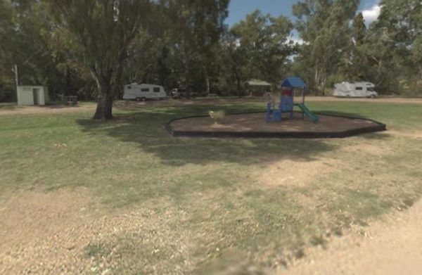
Wallabadah Rest Area
At the Wallabadah Rest Area you can take a short stroll along the banks of the Quinndi Creek NOTE: Onsite Public Toilets close at 5:00 pm. Entrance to the Wallabadah Rest Area Wallabadah Rest Area location map
, , , , ,
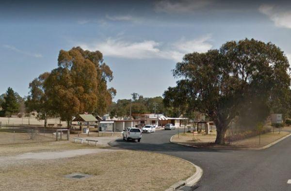
Wallangarra Lions Park Rest Area
Entrance to the Wallangarra Lions Park Rest Area Wallangarra Lions Park Rest Area location map
, , , ,
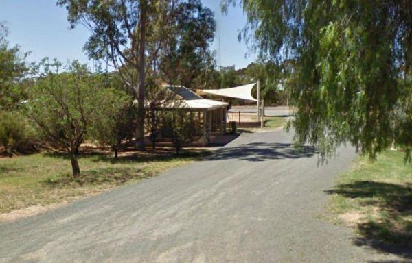
Entrance to the Walpeup Rest Area Walpeup Rest Area location map
, ,
Wanda Wandong Camping Area is a great campsite with clean toilets, fire places, and plenty of walking trails. This is a large open area for Caravans and Campervans etc.
The walking track includes several informative signs that give insight into the local ...
Read More...
, ,
The Wang Wauk Rest Area is a nice spot to take a break from driving. with plenty of room for big rigs. Entrance to the Wang Wauk Rest Area Wang Wauk Rest Area location map
, , , , ,
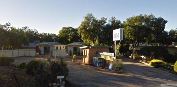
Wangaratta BIG4 - North Cedars Holiday Park
Entrance to the Wangaratta BIG4 - North Cedars Holiday Park Wangaratta BIG4 - North Cedars Holiday Park location map
, , , , , , , ,
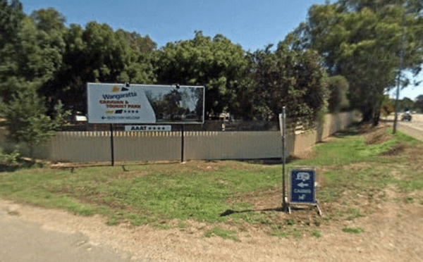
Wangaratta Caravan & Tourist Park
Entrance to the Wangaratta Caravan & Tourist Park Wangaratta Caravan & Tourist Park location map
, , , , , , , , , , , , ,
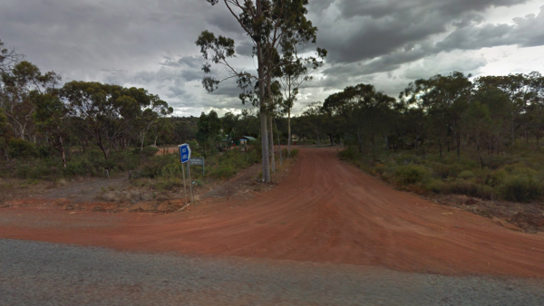
Entrance to Wannamal Rest Area Wannamal Rest Area Location Map
, , ,
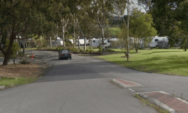
Entrance to the Wantirna Park Caravan Park Wantirna Park Caravan Park location map
, , , , , , , , , , ,
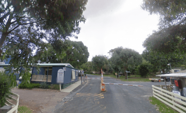
Waratah Bay Caravan Park
Entrance to the Waratah Bay Caravan Park Waratah Bay Caravan Park location map
, , , , , , , , ,
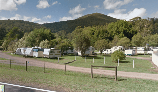
Entrance to the Warburton Caravan Camping Park Warburton Caravan Camping Park location map
, , , , , , , , , ,
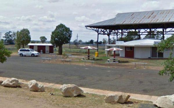
Entrance to the Warra Rest Area Warra Rest Area location map
, , , , ,
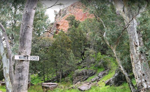
The Warren Gorge Camping Area has public toilets, and fireplace bbqs. and is run by the local council and for a nominal fee placed in the donation box. Warren Gorge Camping Area location map
, , ,
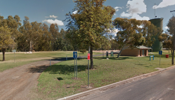
Warren Park Rest Area
Entrance to the Warren Park Rest Area Warren Park Rest Area location map
, , , , ,
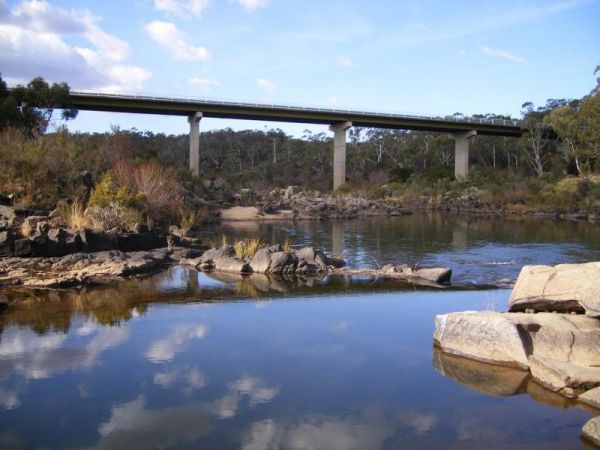
The Warri Camping Reserve is a great area to camp close the Shoalhaven River with some road noise during the day but quiet at night.
Access to some sites are better suited to off road setups, but there are plenty of sites accessible for most. The campgro ...
Read More...
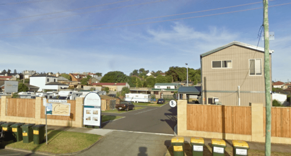
Warrnambool Claremont Holiday Village
Entrance to the Warrnambool Claremont Holiday Village Warrnambool Claremont Holiday Village location map
, , , , , , ,
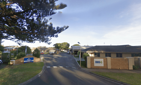
Warrnambool Discovery Holiday Parks
Entrance to the Warrnambool Discovery Holiday Parks Warrnambool Discovery Holiday Parks location map
, , , , , , , , , , ,
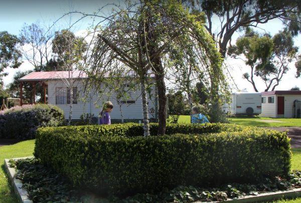
Warrnambool Holiday Park
Entrance to the Warrnambool Holiday Park Warrnambool Holiday Park location map
, , , , , ,
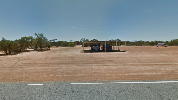
Entrance to Water Tanks Rest Area Water Tanks Rest Area Location Map
, , , ,
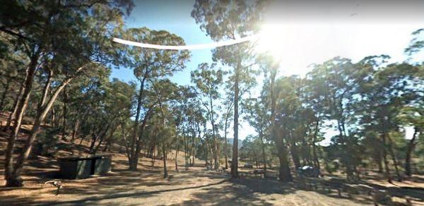
The Waterfalls Picnic and Campground has quite a few hiking tracks to choose from, including an 18 km Pyrenees Endurance Walk for the more energetic amongst us.
Entrance to the Waterfalls Picnic and Campground
Waterfalls Picnic and Campground location ...
Read More...
, , ,
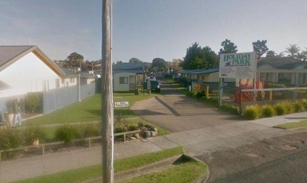
Waters Edge Holiday Park BIG4
Entrance to the Waters Edge Holiday Park BIG4 Waters Edge Holiday Park BIG4 location map
, , , , , , , , , , ,
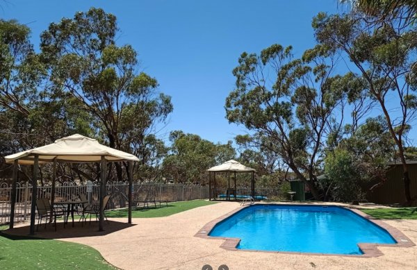
Entrance to Wave Rock Caravan Park. Wave Rock Caravan Park location map.
, , , , , , , , , ,
Waverley Creek Rest Area 20 Hour Limit
The Waverley Creek Rest Area has a maximum stay 20 hours allowed, Facilities include Wood fired BBQs, and tap water, as with most water your not sure about, it's advisable to purify it first by boiling before drinking. There is also a telephone box availa ...
Read More...
, , , , ,
Wedderburn Pioneer Caravan Park
Entrance to the Wedderburn Pioneer Caravan Park Wedderburn Pioneer Caravan Park location map
, , , , , , ,
Werribee South Beach Caravan Park
Entrance to the Werribee South Beach Caravan Park Werribee South Beach Caravan Park Location map
, , , , , , , ,
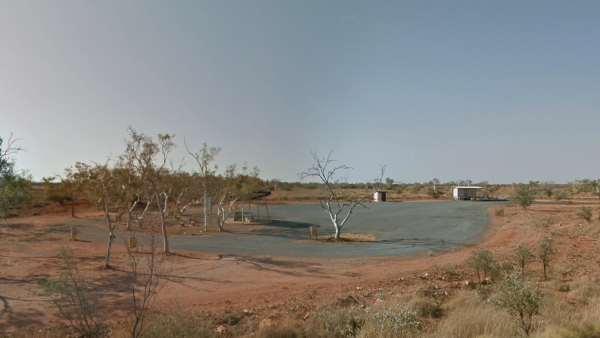
Entrance to West Peawah River Rest Area West Peawah River Rest Area Location Map
, , , ,
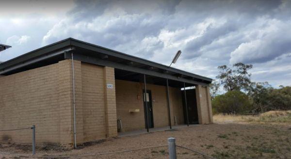
The Western Beach Camping Area has excellent toilets and cold showers with lighting, and tank water on tap. Fishing is not an option here as the lake has been dry for many years, and fills approx every 20 years or so.
Western Beach Camping Area location ...
Read More...
, , , ,
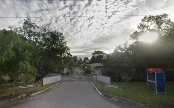
Western Port Harbour Caravan Park
Entrance to the Western Port Harbour Caravan Park Western Port Harbour Caravan Park location map
, , , , , ,
White Wells Rest Area
Entrance to White Wells Rest Area White Wells Rest Area Location Map
, , ,
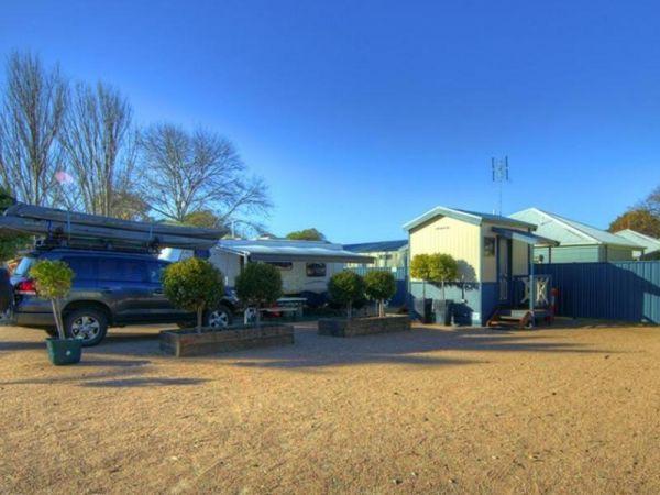
Whiters Holiday Village Big4
Entrance to the Whiters Holiday Village Big4 Whiters Holiday Village Big4 location map
, , , , , , , , , ,
Wilks Park Rest Area 72 Hour Limit
The Wilks Park Rest Area is a lovely camping spot within walking distance to shopping centres. There are flushing public toilets with a hair dryer, and dump point, rubbish bins, potable water, there is also a bicycle way through the park with camping with ...
Read More...
Willowbrook Farm Tearooms & Caravan Park
Entrance to Willowbrook Farm Tearooms & Caravan Park Willowbrook Farm Tearooms & Caravan Park Location Map
, , , , ,
Entrance to the Wimmera Lakes Caravan Resort Wimmera Lakes Caravan Resort location map
Entrance to the Wingham Riverside Reserve Overnight Parking location map Wingham Riverside Reserve Overnight Parking Location Map
, , , , , ,
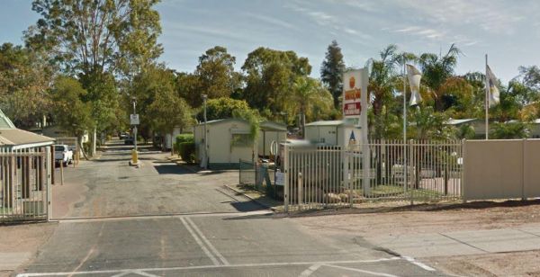
Wintersun Cabin & Caravan Park
Entrance to the Wintersun Cabin & Caravan Park Wintersun Cabin & Caravan Park location map
, , , ,
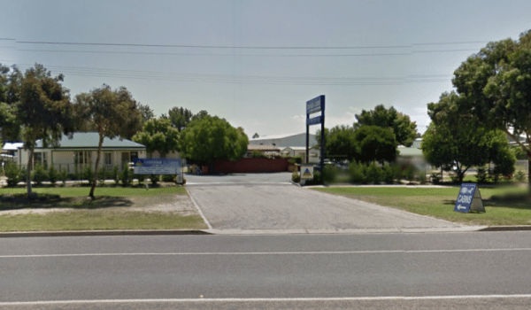
Entrance to the Wodonga Caravan & Cabin Park Wodonga Caravan & Cabin Park location map
, , , , , , , ,
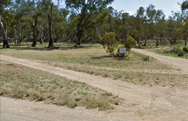
Entrance to the Wood Wood Rest Area Wood Wood Rest Area location map
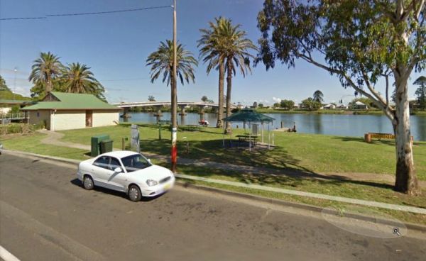
When stopping at the Woodburn Park Rest Area you can pop over the road to the take away or you can have a go at catching your own dinner in the Richmond River. Entrance to the Woodburn Park Rest Area Woodburn Park Rest Area location map
, , , ,
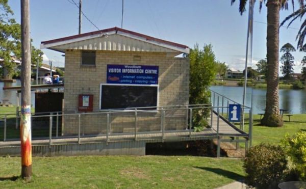
Woodburn Park Visitor Information Centre
Open Hours:Monday to Friday 8.30am to 3.30pmSaturday and Sunday 9am - 4pm
Located on the bank, of the Richmond River.
Entrance to the Woodburn Park Visitor Information Centre
Woodburn Park Visitor Information ...
Read More...
, , ,
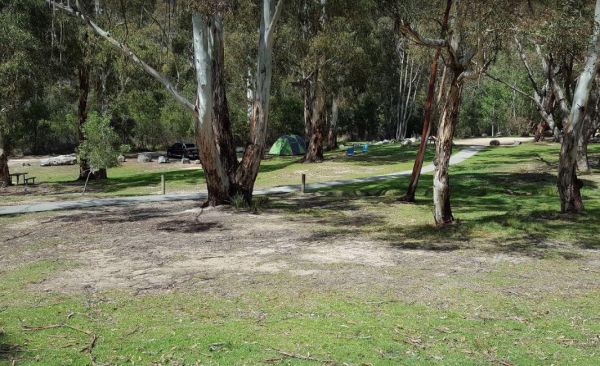
Woods Reserve
To camp at the Woods Reserve camping area, you must pre-book online first, otherwise you will not be able to stay here.
There are some fire pits, bbqs, and public toilets and showers with hot water available and a sink is provided for washing up, and thi ...
Read More...
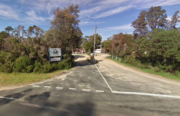
Entrance to Woodside Beach Caravan Park. Woodside Beach Caravan Park location map.
, , , , ,
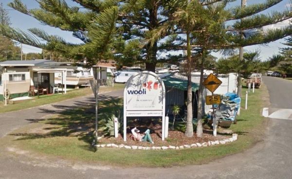
The Wooli Caravan Park is a tidy little park located between the Wooli Wooli River and the open Ocean. Try and get a campsite facing the river, that way you'll get great uninterrupted sunsets.
{tab title="Local Places to Eat" class="grey"}
Harry's Chi ...
Read More...
, , , , ,
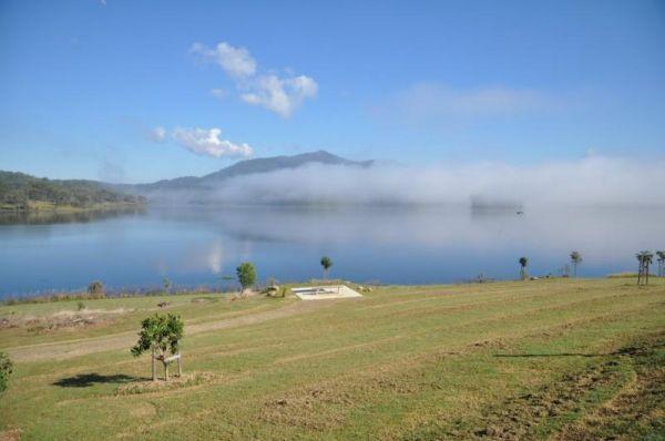
The Wyaralong Dam Camping Area with easy access to picnic tables, and bbqs there are two camping areas available.
The lilybrook Recreation Area and Ngumbi campsite have a public toilet, cold showers, water tanks, bbq's, undercover picnic tables and a chi ...
Read More...
, , , , , ,
Wycheproof Caravan Park
Entrance to Wycheproof Caravan Park Wycheproof Caravan Park Location Map
, , , , , , ,
Entrance to the Wye River Holiday Park BIG4 Wye River Holiday Park BIG4 location map
The Yaamba Rest Area is a bit noisy from the constant road traffic as it's just off the Bruce Highway. There is a public toilet, a bbq and undercover picnic tables, and plenty of level ground to park on.
The Royal Oak Hotel is worth a visit to get a good ...
Read More...
, , , ,
The Yaapeet Beach Camping Area on average the lake fills every twenty years or so. Make sure you bring plenty of drinking water with you. Yaapeet Beach Camping Area location map
The Yachting Point Camping Area is a great spot to enjoy a nice day surrounded by nature. Campsites are on large grassy areas at the edge of Blowering Dam, there is a public toilet available, There are lots of camping spots to choose from, and plenty of w ...
Read More...
, ,
Yackandandah Holiday Park
Entrance to the Yackandandah Holiday Park Yackandandah Holiday Park location map
, , , , , ,
Yackandandah Lake Picnic Reserve
Entrance to the Yackandandah Lake Picnic Reserve Yackandandah Lake Picnic Reserve location map
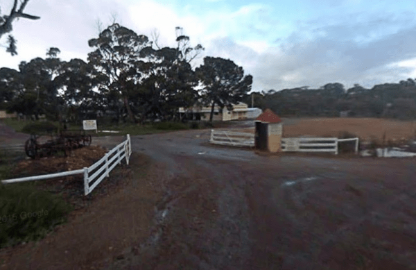
Yallunda Flat Showgrounds Camping Area
Camping at the Yallunda Flat Showgrounds Camping Area, is via a donation which goes towards the showgrounds upkeep. Entrance to the Yallunda Flat Showgrounds Camping Area Yallunda Flat Showgrounds Camping Area location map
,
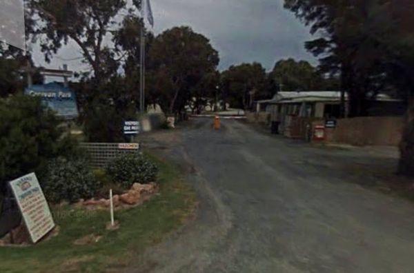
Entrance to the Yanakie Caravan Park Yanakie Caravan Park location map
, , , , , , , , ,
Entrance to the Lance Moon Park Lance Moon Park location map
, , ,
Yarra Valley Park Lane Holiday Park BIG4
Entrance to the Yarra Valley Park Lane Holiday Park BIG4 Yarra Valley Park Lane Holiday Park BIG4 location map
, , , , , , , , , , ,
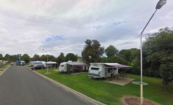
Yarrawonga Holiday Park
Entrance to the Yarrawonga Holiday Park Yarrawonga Holiday Park location map
, , , , , , , , , , , , ,
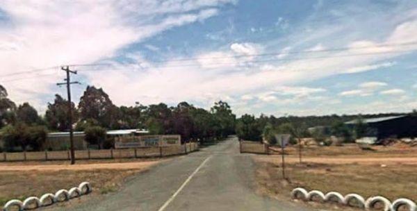
Yarrawonga Westside Caravan Park
Entrance to the Yarrawonga Westside Caravan Park Yarrawonga Westside Caravan Park location map
, , , , , , , ,
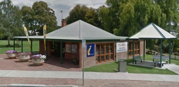
Yass Valley Visitor Information Centre Open Hours:Week Days 9.30am to 4.30pmClosed Weekends Entrance to the Yass Valley Visitor Information Centre Yass Valley Visitor Information Centre location map
, , ,
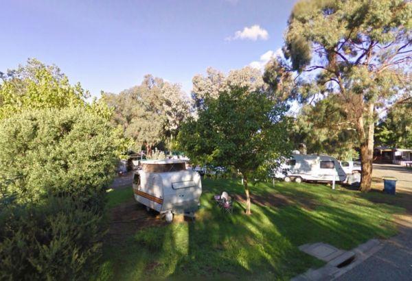
Entrance to the Yea Riverside Caravan Park Yea Riverside Caravan Park location map
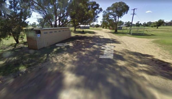
The Yeoval Showground Camping, has showers and toilets, with lots of space to park your caravan. The main business area of town is within easy walking distance from the showground.
Entrance to the Yeoval Showground Camping Area
Yeoval Showground Campi ...
Read More...
, , , , ,
Entrance to the Yerdani Well Rest Area Yerdani Well Rest Area location map
, ,
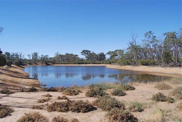
Entrance to the Yornaning Dam Rest Area Yornaning Dam Rest Area location map
, , , , ,
Yuppeckiar Park Rest Area 20 Hour Limit
Entrance to the Yuppeckiar Park Rest Area Yuppeckiar Park Rest Area location map
, , ,
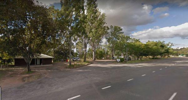
The Zonhoven Park Rest Area is just a hop step and a jump from the Burnett River if your into fishing, perhaps a short walk to the Big Orange is more your thing. (About 400 metres up the road.)
You will hear some noise from passing trucks at night and th ...
Read More...
, , , , , , ,