List Categories and Listings by M
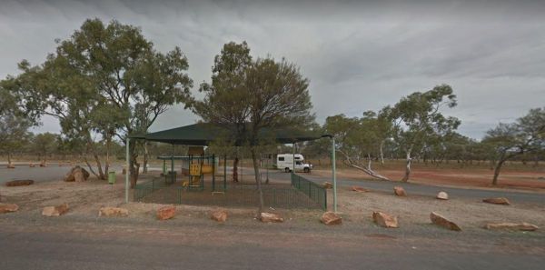
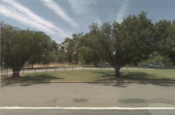
The MacCullochs Range Rest Area is next to the Barrier Highway and accessible from both sides of the highway. There's plenty of room to park your caravan, rubbish bins, undercover picnic tables, bbq, rubbish bins and emergency tank water supply. Plus a we ...
Read More...

Mackay Park Rest Area
The Mackay Park Rest Area, you can stretch the legs a bit and walk over to the corner of Burley Griffin Way and Olympic Hwy to a local store and get the local gossip. There are picnic tables, Public toilets, wood fired bbq facilities, rubbish bins and ple ...
Read More...
Mackey VC Rest Area
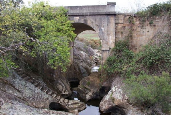
Mackey VC Rest Area is in close proximity to the highway and obviously noisy. There are composting toilets with hand washing basin, undercover picnic tables, bbqs, and rubbish bins and room to park your van. There is a fascinating bridge over Black Bobs C ...
Read More...
Macksville Lions Park Rest Area
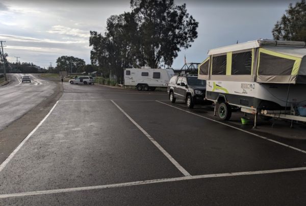
Macksville Lions Park Rest Area is a small tidy park right on the river's edge and very popular amongst travellers. The park has bbq facilities, public toilets, boat ramp, children's playground, rubbish bins, and it's a free overnight stop over with room ...
Read More...
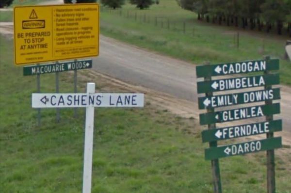
The Macquarie Woods Forest Reserve is a fantastic spot to park our caravan for a few nights to explore Bathurst and has more camping spots than you can poke a stick at. There is a public long drop toilet, picnic tables, fireplaces with bbq facilities, a f ...
Read More...
Majors Creek Recreation Reserve 24 Hour Limit
The Macquarie Woods Forest Reserve has more camping spots than you can poke a stick at. There is a public toilet, bbq, and a small creek nearby.
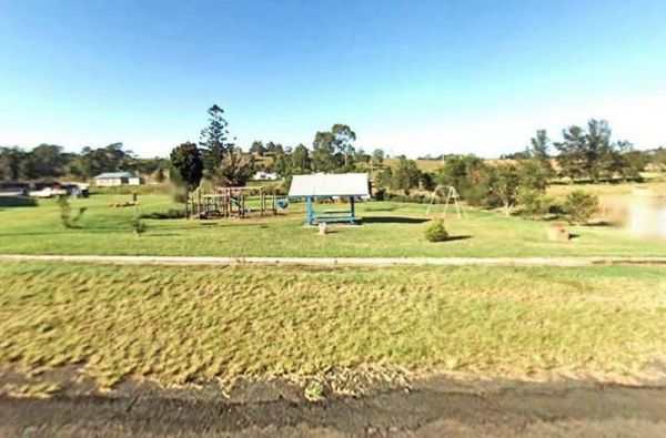
Mallanganee Oval Camping Area 24 Hour Limit
The Mallanganee Oval Camping Area is a short walk to Mallanganee Park, which has a picnic table and a few children’s playground bits.
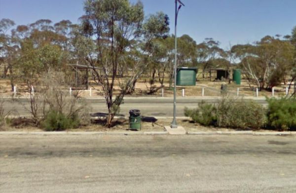
The Mallee Fowl Rest Area is just off the Sturt Highway, with plenty of room to park all sized rigs. There are public toilets, some wood fired BBQ's, and enough room to take your dog for a walk.
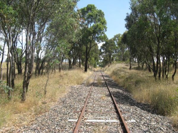
The Mandurama East Rest Area has a Railway line running along the back of this spot, it's an OK spot to enjoy a break from driving and BBQ picnic at the same time.
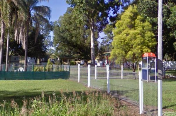
Mann River Caravan Park
When visiting the Mann River Nature Reserve, why not pop your Kayak in and paddle up to the Old Bridge, all that's left to see are the supports jutting out of the water. Or you can cross over the river and stay in the Mann River Caravan Park. There is a p ...
Read More...
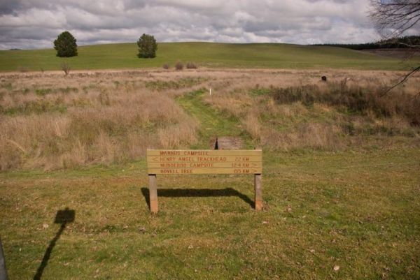
Mannus Camping Area
The Mannus Creek runs next to this site, this is a great base-camp for hiking into the surrounding mountains.
The Markeys Beach Camping Area is beautiful and isolated with great campsites with a very isolated beach. This is an awesome place to get away and it's so quiet, and is the sort of location where you really need to use GPS navigation to find your campsite ...
Read More...
The Maroona Rest Area is just another stop over and take a short rest from driving, and it's a short distance from the Mitchell Highway on a small gravel section with an undercover picnic table, wood fired bbq and a few rubbish bins.
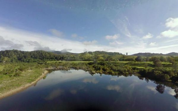
Marr Creek Rest Area
The Marr Creek Rest Area has the makings of a wonderful overnight spot, with the Mann River on your doorstep. There are undercover picnic tables, wood fired bbqs, rubbish bins and tank water here.
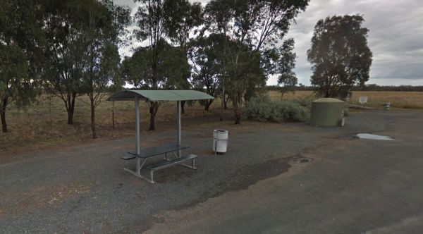
Marsden Rest Area Northbound
Located on the northbound side of the Mid Western Highway near Back Creek, NSW, the Marsden Rest Area Northbound offers a convenient roadside stop for drivers in need of a break. With easy access from the asphalt highway, this rest area provides essential ...
Read More...
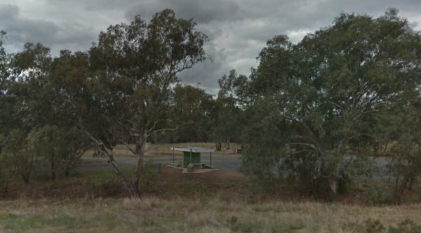
Marsden Rest Area Southbound
Situated along the southbound side of the Mid Western Highway in Back Creek, NSW, Marsden Rest Area Southbound is a welcoming stop for travellers looking to relax, refresh, or camp overnight. With both practical amenities and a touch of nature, this rest ...
Read More...
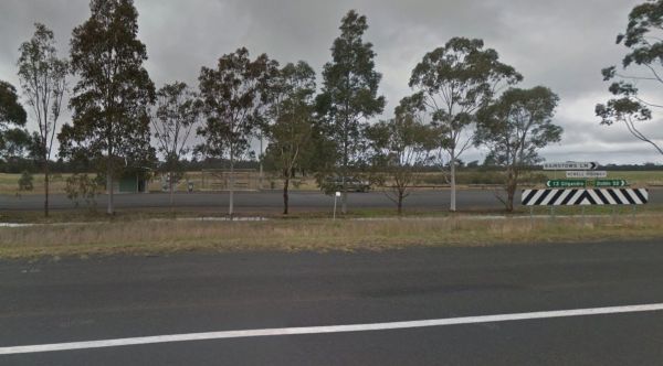
Marthaguy Rest Area
The Marthaguy Rest Area is on a long strip of asphalt running parallel to the Newell Highway with a few trees for shade. It's place to pull over and have a bite to eat in the undercover table and seating area, or use the public toilet and rubbish bins.. ...
Read More...
The Mary Lawson wayside Rest Area has an undercover picnic table plus rubbish bins. plus a museum beside this park, it's called the Log Museum. There is no camping allowed at Mary Lawson Wayside. If you want to stay longer, pop over to the Finley Lakeside ...
Read More...
