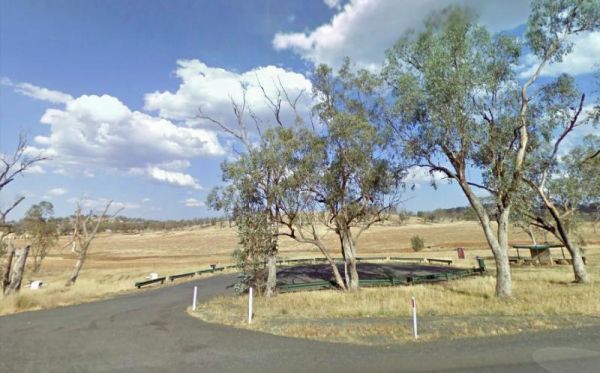
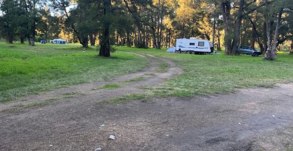
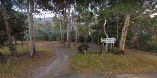
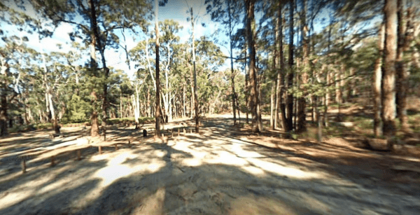
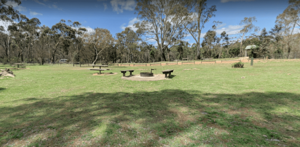
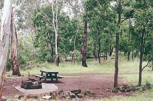
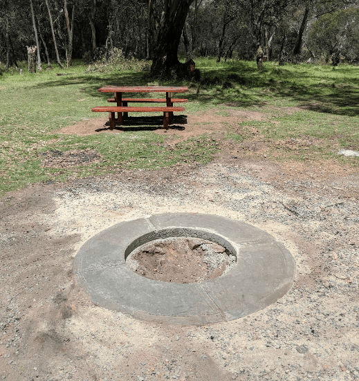
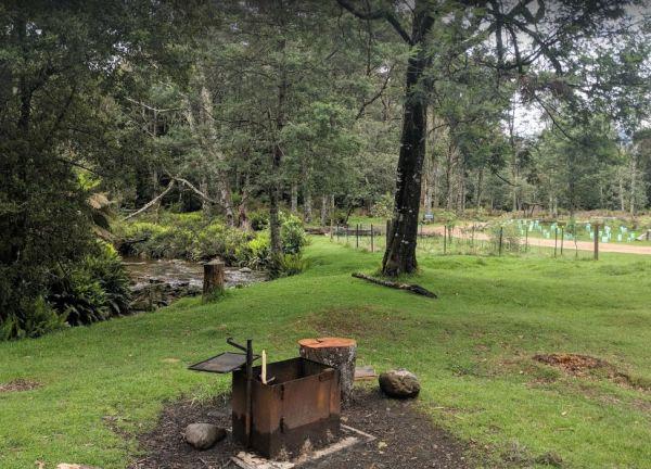
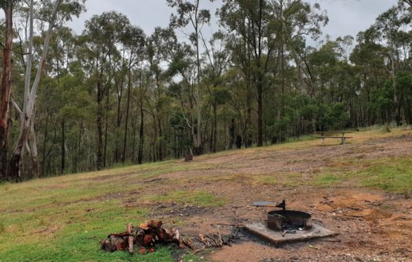
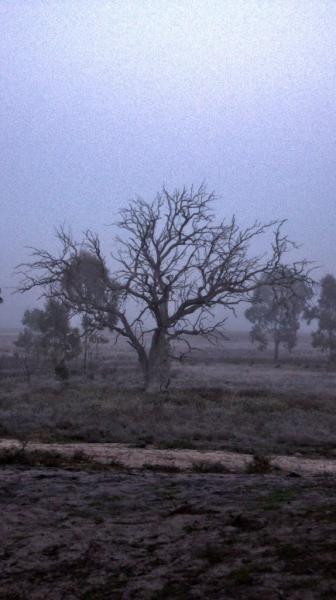
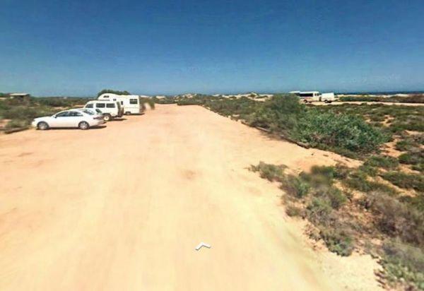
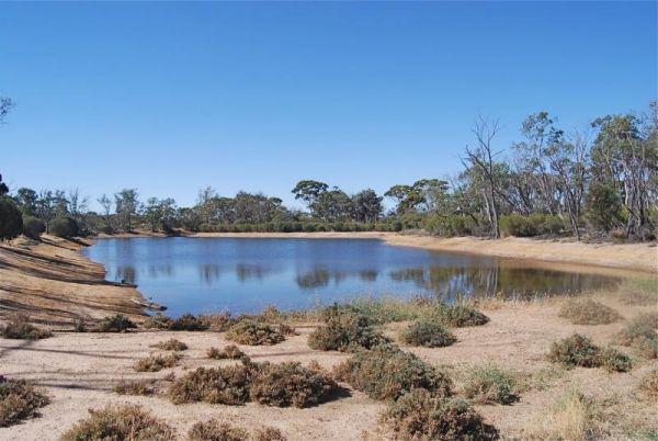
Facilities Available: Fixed Fire places
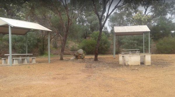
From the 25 Mile Creek Camping Ground, it's a steep walk to get to the Big River, with dinner waiting to be caught if your a fisherman, otherwise it's another rough bush campsite.
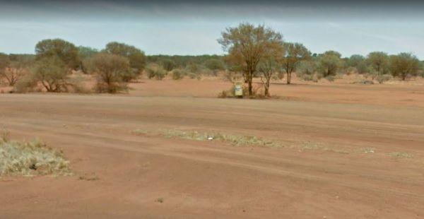
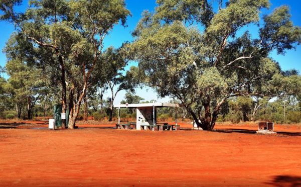
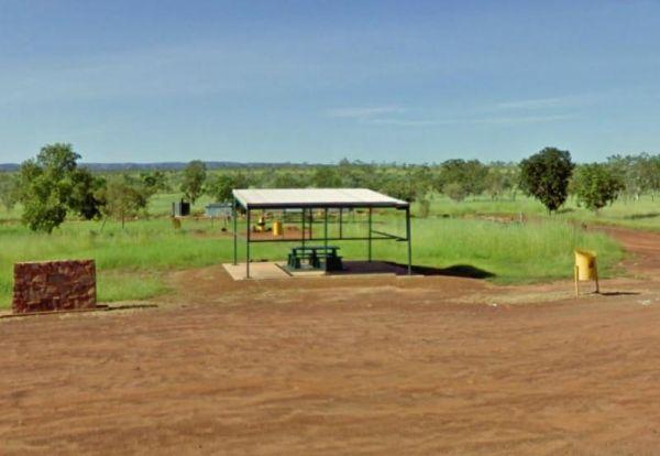
25 Mile Well Rest Area
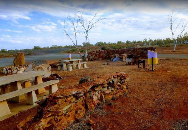
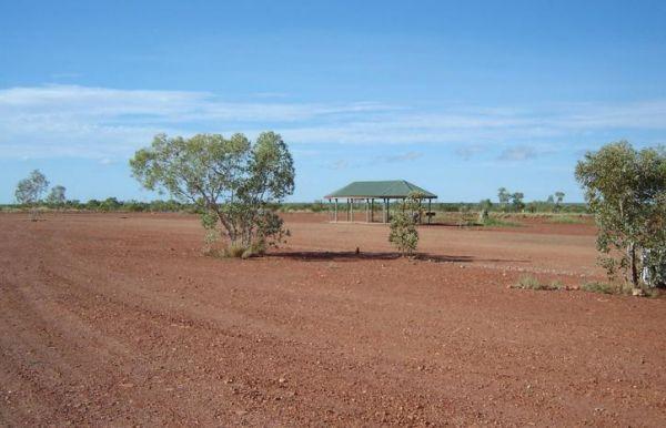
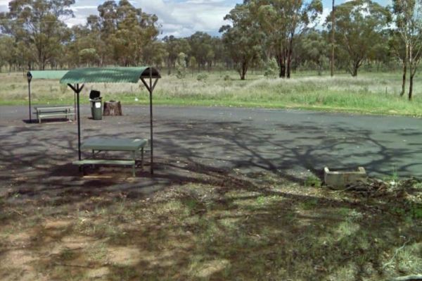
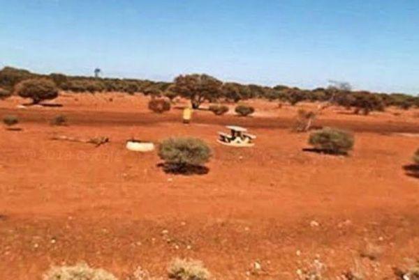
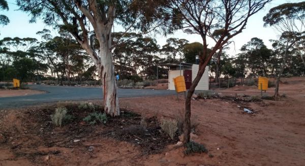
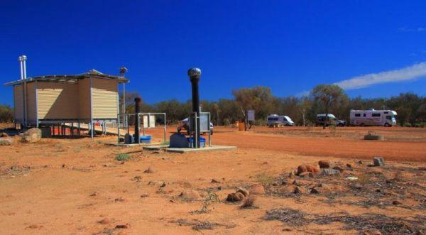
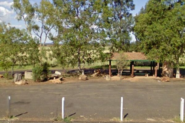
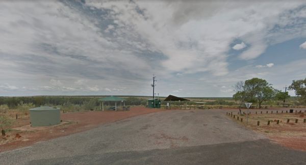
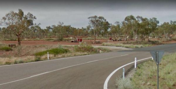
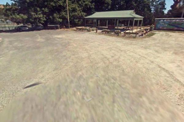
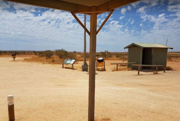
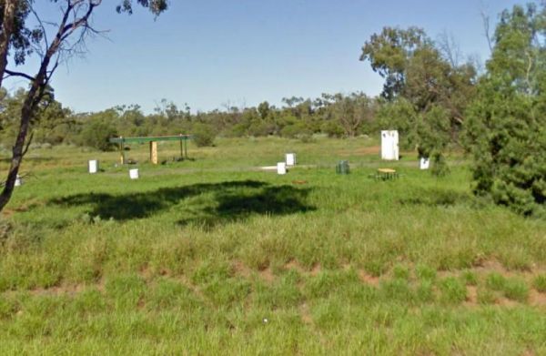
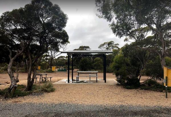
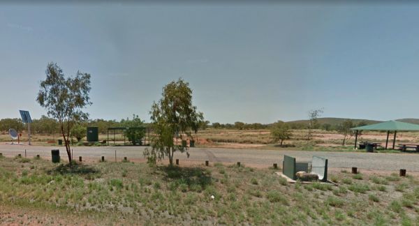
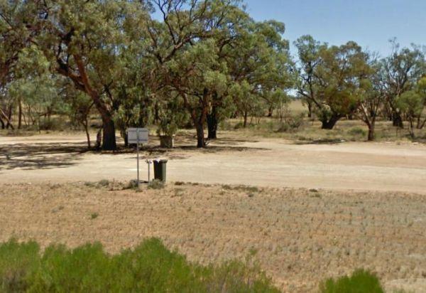
The 25 Mile Well Rest Area has rubbish bins, and an undercover picnic table, and not much shade, all on reasonably level ground. This place has plenty of room to park your caravan or motorhome, just off the Great Northern Highway. This rest area is locate ...
Read More...
Acacia Caravan Park, Ararat: Your Gateway to the Grampians and Beyond
Located in the rural city of Ararat, Victoria, Acacia Caravan Park offers a friendly and relaxed base for exploring the vibrant local area and the majestic Grampians National Park. S ...
Read More...
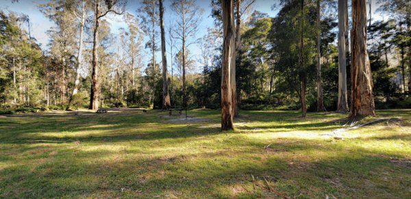
Ada River Camping Area
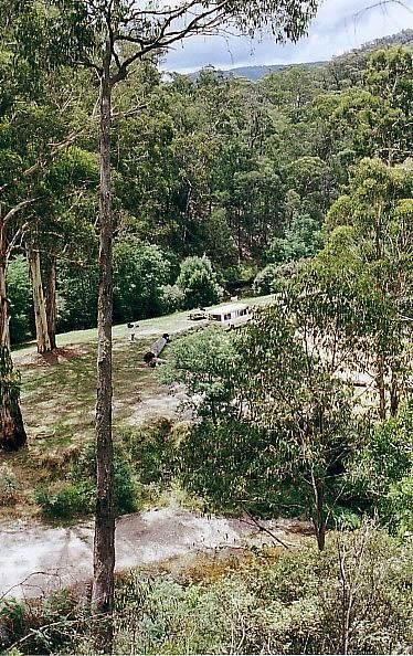
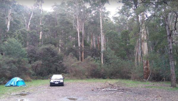
The Ada River Campground is isolated and quiet, and it's distance from the Princes Highway deters most overnight travellers. This campsite is set among tall gum trees with plenty of room for your caravan to spend a pleasant day or two. You have drop toile ...
Read More...
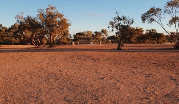
Agnes Creek Rest Area
The Agnes Creek Rest Area has a picnic table, a few rubbish bins and a bit of shade to park under and far enough from the Stuart Highway to get a good nights sleep.
The Agnes River Rest Area is a quiet, grassy roadside stop located beside the tranquil Agnes River in Victoria’s lush South Gippsland region. Ideal for a short break, picnic, or overnight stop for self-contained vehicles, the site offers basic amenities i ...
Read More...
The AH Youngs Camping Area has long drop toilets, and the Buckland River water is clear with plenty of places to swim. The campsite has large grassy areas to park your caravan, or pitch a tent.
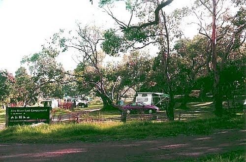
Aire River East Campground - Otway National Park
Aire River East Campground, nestled within the stunning Great Otway National Park, offers a tranquil bush camping experience by the Aire River estuary. Located in Hordern Vale, Victoria, this campground is a popular spot for those seeking a natural settin ...
Read More...
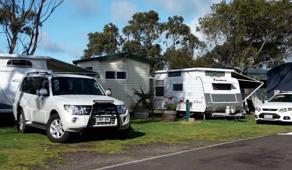
Aireys Inlet Holiday Park
BIG4 Aireys Inlet: Your Coastal Escape on the Great Ocean Road
Located at 19-25 Great Ocean Road, Aireys Inlet, Victoria, BIG4 Aireys Inlet is a popular holiday park situated at the stunning beginning of the world-famous Great Ocean Road. Nestled betwe ...
Read More...
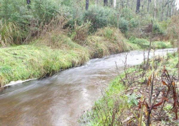
Andersons Garden Camping Area
The Andersons Garden Camping Area, the toilets are as clean as a drop toilet can be. There are a lot of mud tracks and roads to explore. There is a nice little creek for the kids to paddle in. The campground is now boarded off so you won't be able to get ...
Read More...
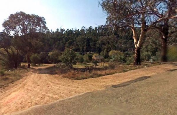
Anglers Rest Campground Area
When stopping at the Anglers Rest Camping Area, is the first of many river access areas from Anglers Rest. There is a drop toilet, with not a lot of level ground to camp at, but you can walk over to the Blue Duck Inn for a bite to eat.
Angusvale Camping Area has plenty of places for your camper trailer plus, there is a Ranger on duty in the area also, you can ask about some of the Old Gold Mining ventures that took place not too far away from here.
Annya Camping ground is not quite a Rough Bush Camp, there are a few picnic tables to choose from, and you can pitch your tent pretty well anywhere and enjoy the sounds of the Great Australian Outdoors.
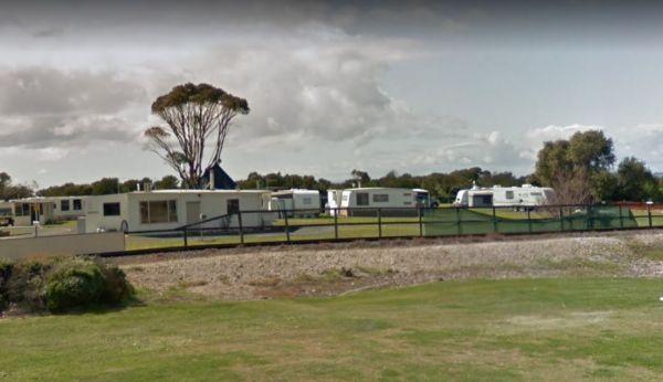
Apex Caravan Park
The Apsley Rest Area is a rather small area, so be wary if you decide to drive in with your large caravan behind you.
The Araluen Creek campground is a secluded camping spot with plenty of flat grassed ground, two public toilets, tank water, rubbish bins and is a nice quiet spot to enjoy a break from driving. Walk over to the creek "it's a seasonal flow" and have a walk ...
Read More...
The Archers Crossing Camping Area (Southside) has mobile phone reception and some fireplaces, bbqs and picnic tables and some shade trees located on the banks of the Condamine River. You might like to pop your kayak into the river and try to catch a fish ...
Read More...
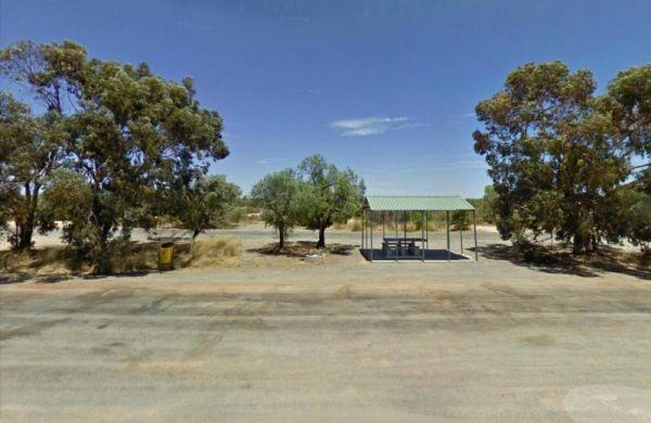
Arrowsmith Rest Area
The Arrowsmith Rest Area, has a a few small trees for shade, a public toilet, fireplaces with bbq, undercover picnic tables and rubbish bins. It's located on a gravel surface just off the Brand Highway. No Overnight Camping Permitted This is strictly a Re ...
Read More...
Arve River Picnic Area is a rather nice spot for a picnic, it's situated on the bank of the Arve River, just off the main road and in amongst the forest, with roughly 4 parking spots if you're in a campervan. There are picnic tables, flushing public toile ...
Read More...

Attack Creek Rest Stop
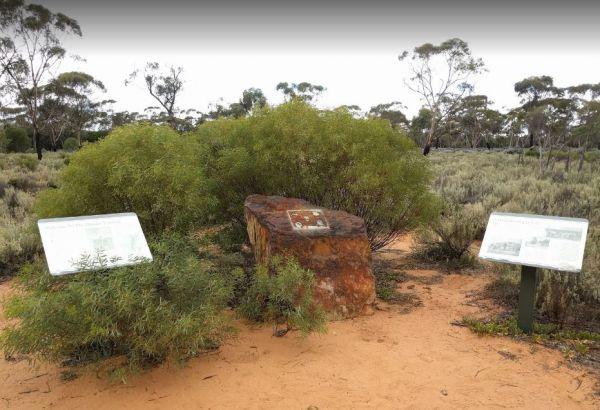
Attack Creek Rest Stop has some history attached to this place, and there is a cairne plaque dedicated to John McDouall Stuart and party on what occurred on 25th June 1860 an it's well worth reading. There is plenty of room to park with a few trees for sh ...
Read More...
The Baan Hill Reserve Picnic Area is a popular spot for the 4x4 enthusiasts not far from the Ngarkat Conservation Park HIstoric site.
The Baden Park Rest Area has plenty of parking spaces, long drop toilet, wood fired bbq, undercover picnic table with rubbish bins and tank water. There's really not a lot to do here, apart from taking a break from driving, and contemplate how hard it was ...
Read More...
Bailes Campground is located in the Mount Buangor State Park and not too far from the Ferntree Camping Ground. The only creature comforts are a few fireplaces.
The Baladjie Rock Camping Area has plenty of spots for camping, camper trailers and caravans. This is a popular picnic spot for locals and visitors, and there are fire pits, and a public toilet here. Shade is limited, and there are no rubbish bins, so ple ...
Read More...
Balley Hooley - Snowy River National Park has no bookings required, camping is strictly on a first in first-served basis
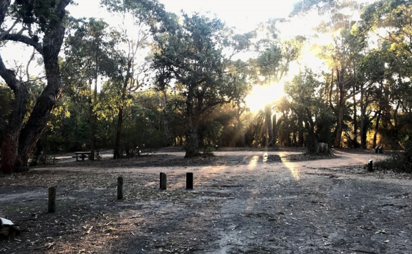
Banksia Bluff Campground
Barmah Lakes Camping Area is close to the Murray River and is great for Kayaking, Photography, Fishing, Swimming, and there is a boat ramp as well.
The Barraba Lions Park Rest Area is a credit to the Lions and Shire council. This is pleasant little area adjacent the main road, offering a bit of shade and covered picnic tables, bbqs and long drop toilets.
The Barradale Rest Area has a few picnic tables, rubbish bins, and plenty of level space just off the North West Coastal Highway. Be careful if you decide to go further off the rest area in wet weather, you might get bogged and have to wait for the ground ...
Read More...
Baw Baw National Park - Aberfeldy River Camping Area is within easy walking distance to the Aberfeldy River where you can catch a trout for dinner, or try your hand at panning for gold. This campsite set amongst gumtrees and not a bad place to camp for a ...
Read More...

Bear Gully Reserve Camping Area
Bear Gully Reserve Camping Area is a nice place off season, but very busy during School Holidays. It has beautiful Rock Pools long the beach for you to explore and capture with your camera.
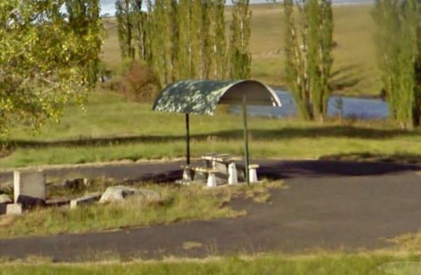
Beardy Waters Rest Area
The Beardy Waters Rest Area is a quite area and room for your caravan with some shady trees to park under, and quite close to the River. There is undercover picnic tables and fireplace base bbqs, and you can drop a line in or have a paddle in your Kayak w ...
Read More...
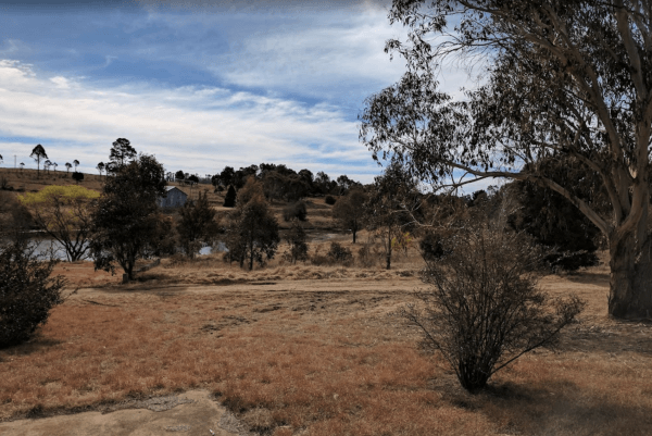
Beardy Waters Woodland Park Rest Area
Please Note: Beardy Waters Woodland Park is intended to be a Rest Area Only, and strictly day use for picnics, bush walking, fishing, etc. No Overnight Camping of any type is permitted.
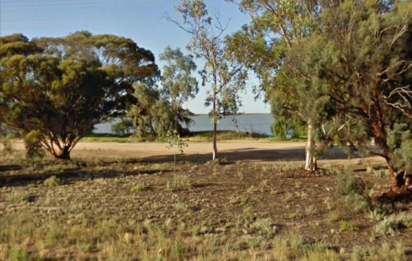
Beau Morton Park Rest Area
From the Beau Morton Park Rest Area you can take a stroll along edge of Racecourse lake, maybe throw a line in just for fun, you never know... they might be on the bite, or you could take the kayak of the the roof rack and have a paddle.
Beleringar Creek Rest Area
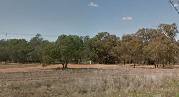
When visiting the Beleringar Creek Rest Area you can walk over to Sandy Creek and checkout how much water is flowing. I wouldn't be unpacking the kayak in anticipation just yet. I tagged fishing at this location, but maybe catching a yabby might be more a ...
Read More...
Bents Basin Campground has nice open areas, lots of areas to setup a tent, caravan, camper trailer or for a day visit. Lots of areas to choose a campsite, there are fire pits, clean toilets with hot showers too. The Nepean River is close by if you want to ...
Read More...
Berringa Recreation Reserve offers a basic, paid camping experience in the rural locality of Berringa, Victoria. It's a community-run campground that provides essential amenities for campers looking for a quiet stay and is notably dog-friendly. The reserv ...
Read More...
Bethanga Recreation Reserve is a community hub in Bethanga, Victoria, offering a range of sports facilities alongside camping options. Located in a picturesque rural setting near Lake Hume, it provides a welcoming and dog-friendly environment for visitors ...
Read More...
From the Bethune Park Camping Area you can go Fishing, Boating, Kayak, and walks along the lake shore are all available from this popular spot.
This is a nice forest campsite surrounded by trees. There are picnic tables fixed fireplaces and public toilets, this campsite gets busy during the holiday season, and you must book through Parks Victoria if you want to camp here.
If camping at the Big River Camping Area it's well worth you time to get out your fishing rods and trying your luck at catching dinner.
The Big Spring Creek Rest Area is a good overnight location to stop prior to entering into the Bungles, so this place can get pretty crowded at times. There are Public Long Drop Toilets, undercover picnic tables, and bbq facilities and some trees for shad ...
Read More...
BIG4 Apollo Bay Pisces Holiday Park
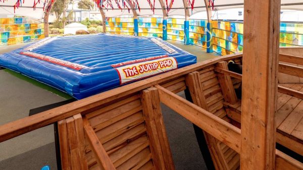
BIG4 Apollo Bay Pisces Holiday Park is ideally situated on the beachfront along the iconic Great Ocean Road in Apollo Bay, Victoria, Australia. The park offers a range of accommodation options, including modern cabins, glamping tents, and caravan/camping ...
Read More...
BIG4 Tassie Getaway Parks St Helens
BIG4 Tassie Getaway Parks St Helens, formerly BIG4 St Helens Holiday Park, offers a fantastic base for exploring the stunning East Coast of Tasmania. Situated in St Helens, known as the game fishing capital of Tasmania ...
Read More...
The Bilpin Reserve Rest Area has flushing toilets, undercover picnic tables and some shady spots to park your caravan under. This reserve is set back a short distance from Bells Line Road, and it's a nice open area to let the kids go wild for a few minute ...
Read More...
Bimbi Park
Bimbi Park - Camping Under Koalas
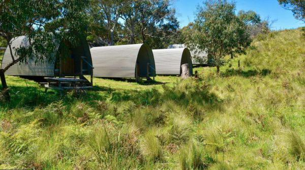
Bimbi Park offers a truly unique and immersive nature experience, nestled within 4 hectares of magnificent manna gum forest in Cape Otway, the heart of the Great Ocean Road and Great Ocean Walk. This multi-award-winning ...
Read More...
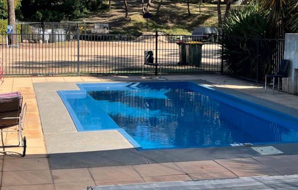
At the Binalong Rest Area you can take a swim in the swimming pool, have a BBQ or let the kids play on the playground, perhaps take a stroll along the streets and checkout the neighbourhood.
A lovely place to spend some time, you can find some quite secluded areas to pop the van into, and spend a night or two quite easily here.

Black Springs Rest Area
Blackbird Hut (Kelly's Hut) Campground
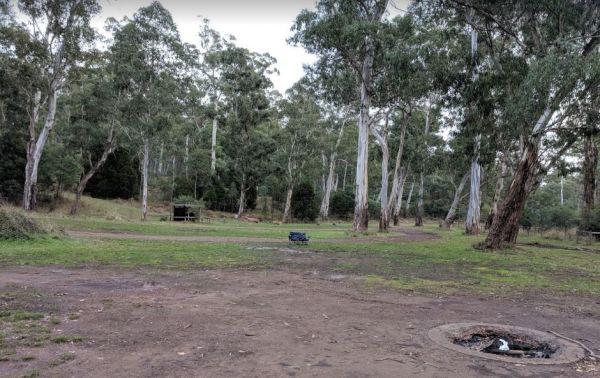
The Pickerings Flat Camping Area still has a historic cattleman's hut in use today by Parks Victoria, it's used to maintain the other huts and parks in the area. This campsite comprises of a large grassy area, with plenty of camp sites to choose from. You ...
Read More...
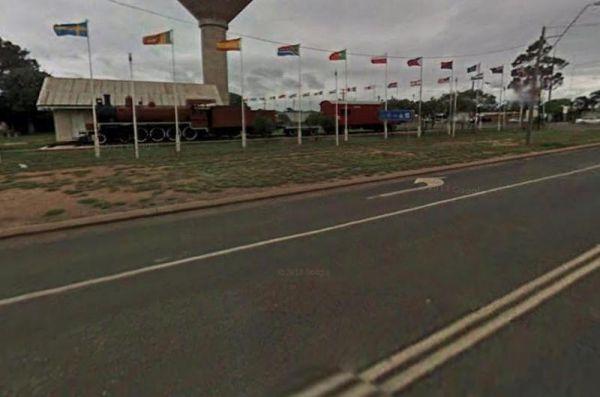
Blackwater Lions Park Rest Area
From the Blackwater Lions Park Rest Area you can let the Kids go wild on the Stationary Steam Train they have in this park. There are 6 major open cut coal mines located in the area, and just up the road you will find this Dragline Bucket to admire and ta ...
Read More...
The Blandford Rest Area has a public toilet block, undercover picnic tables and rubbish bins, plus there are fixed BBQ fireplaces scattered around also. The road is a bit on the tight side for large rigs, so you might want to check it out first before com ...
Read More...
Blanket Bay Camping Area campsites are more suited to Vehicle based camping and small camper trailers. Water tends to be a bit scarce, so it is better to bring your own. No Petrol Generators permitted. Take your Rubbish away with you.
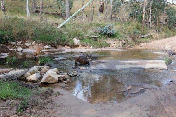
Blue Range Creek Camping Area
Blue Range Creek Camping Area is nice little campground on the river, with drop toilets located in the day area across the road. This campground is a relatively quiet spot to camp and is 20 min from Mansfield. Its set amongst tall gum trees that offer sha ...
Read More...
Note: The hut interior has only an open fireplace and picnic table, so you will need to bring all your supplies with you. To stay at the Blue Range Hut Recreation area, Bookings are essential, as you will not be able to get inside the locked gate unless y ...
Read More...
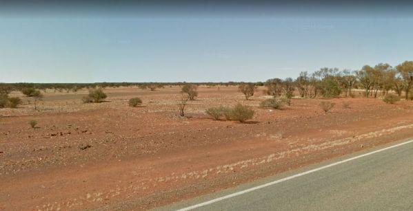
Bluebird Rest Area
The Bluebird Rest Area is a large level gravell area with a picnic table, fire pit and rubbish bins. There is plenty of space to park your caravan, and this is a popular truck stop. There are a few tracks just off the main parking area for the more advent ...
Read More...
Visiting Bluff Creek Camping Area during springtime, is a great time to take the walking trail to see the Bluff Falls, there is only 5 suitable spots for caravans.
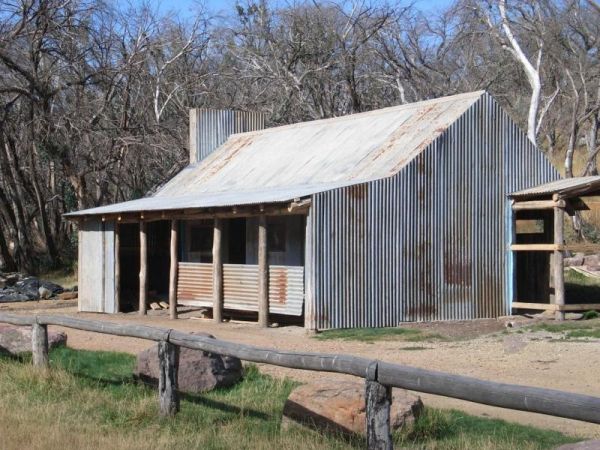
Bluff Hut Camping Area
Bluff Hut Camping Area is great for overnight trekkers, or just a stop over for The Bluff summit. There is a drop toilet and a firepit with a water tank nearby. This is a tent based or 4wd vehicle camping spot. From here summit and grab a photo or two of ...
Read More...
The Bogolong Creek Rest Area is set amongst tall trees and a very small creek if you care to walk to it. No chance of catching any fish or boating at this location.
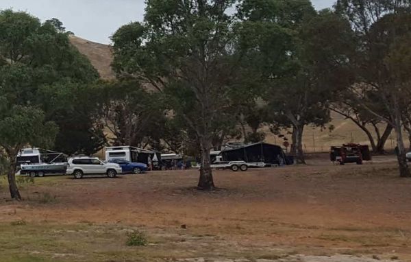
Bonnie Doon Lakeside Leisure Resort
Bonnie Doon Lakeside Leisure Resort: Your Lakeside Escape in the High Country
Bonnie Doon Lakeside Leisure Resort, often described as the "Gateway to the High Country," offers a fantastic holiday experience on the tranquil shores of Lake Eildon. Just a t ...
Read More...
Boomerang Way Tourist Park: Your Peaceful Riverside Retreat in Tocumwal
Boomerang Way Tourist Park offers a tranquil escape on a spacious 12-acre wooded property in Tocumwal, New South Wales. It's an ideal spot for those looking to relax amidst grassy, s ...
Read More...
Boort Lakes Holiday Park
Boort Lakes Holiday Park offers a serene and picturesque holiday experience, perfectly situated on the shores of Little Lake Boort in North Central Victoria. This easy-to-find park is an ideal venue for a relaxing getaway, allowi ...
Read More...
To camp at the Boreang Camping Area you need to contact Brambuk the National Park & Cultural Centre in Halls Gap on ph: (03) 5361 4000. NOTE: 15 sites available
Boundary Falls Campground has quite a few walking tracks to choose from, with long drop toilets, fire places with camp oven stands. The Falls are just a short stroll from the camping ground, with a crystal clear swimming hole at base of falls
Boundary Fa ...
Read More...
The Braefield Rest Area is wedged between the railway line and Kamilaroi Highway. The rest area is fairly level with picnic tables, fireplaces, rubbish bins and plenty of shade to park your caravan under.
Breeze Holiday Parks – Grampians: Your Gateway to the Grampians National Park
Nestled in a peaceful setting just a few minutes' drive from the centre of Halls Gap, Breeze Holiday Parks – Grampians offers a serene escape amidst the stunning landscapes of ...
Read More...

Brewarrina Rest Area
The Brewarrina Rest Area is a beautiful little spot down near the old lift span bridge in Brewarrina. There are lots of room for caravans and campers to set up camp at, but access could be boggy if rains. There are undercover picnic tables, a fitness gym, ...
Read More...
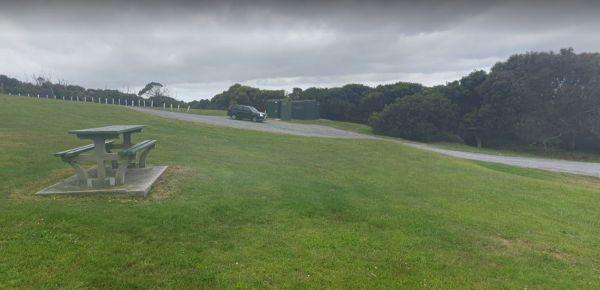
Brickmakers Beach Rest Area
The Brickmakers Beach Rest Area is a nice day rest area, with the beach only a short distance from the car park area. I believe it's a bit too rocky for fishing on the left hand side, but you are welcome to prove me wrong. My preference is over off the sa ...
Read More...

Brocklehurst Rest Area
Brocklehurst Rest Area is a large gravel area just a short distance from the Newell Highway with a few trees for shade that you will be sharing with truck drivers, so please allow them plenty of room. There are undercover picnic tables, public toilets and ...
Read More...
Buckety Plain Camping Area is a great campsite and not far from the Bogong High Plains road. There is abundant open space where you can pitch tents, or set up a camper trailer. At this campsite you'll find picnic tables and fireplaces along with a single ...
Read More...
Budj Bim Campground is a lovely place to stay with the treat of flushing toilets and warm water showers, picnic tables and bbq, located in the Mount Eccles National Park in Victoria, Australia, 270 km west of Melbourne, and is located inside the national ...
Read More...
The Bulla Park Rest Area has plenty of room to park your caravan with some small trees for shade. There is an undercover picnic table, wood fired bbq facilities and rubbish bins. This is a located in a desolate countryside, don't wander too far away from ...
Read More...
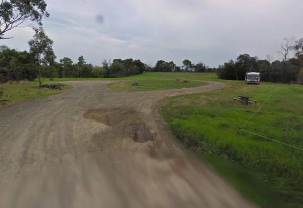
Bunyip River Rest Area
The Bunyip River Rest Area Set back a short distance from the Princes Freeway, you can let the kids run without fear of them getting run over.
The Burnt Bridge Camping Area is an amazing place, with easy access to the river, good for fishing. There are 2 separate drop toilets, one in the main area, and the other further down the towards the end of Burnt Bridge.
Most of the camping areas are of ...
Read More...
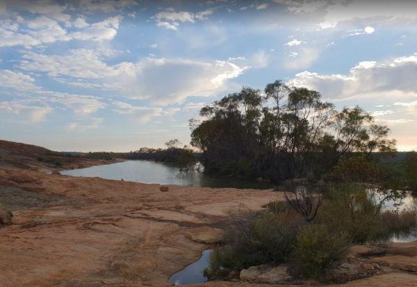
Burra Rock Nature Reserve Camping Area
The Burra Rock Nature Reserve Camping Area is a day use area with camping allowed. There are some picnic tables, fireplace and a public toilet, and at the base of the Burra Rock is a dam, once used to water the steam trains used for carrying wood back to ...
Read More...
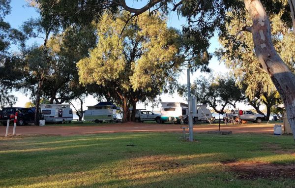
Bushman's Rest Caravan Park
Bushman's Rest Caravan Park: A Lakeside Oasis in the Mallee
Bushman's Rest Caravan Park offers a beautiful, tranquil, and shady setting on the foreshore of Lake Cullulleraine, making it a perfect stop and relaxing stay in the Mallee region of Victoria. L ...
Read More...
Buttercup Creek Camping Areas (Campgrounds 1-5) has 5 different campground locations, ranging from 2 to 20 suitable campsites in each. Plenty of 4x4 driving tracks to explore from your base camp, you can also checkout the numerous walking tracks in the ar ...
Read More...
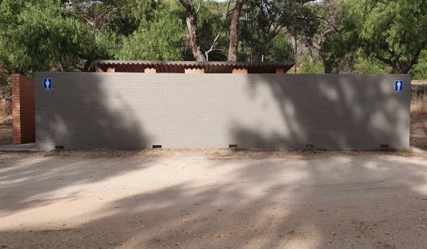
Butts Reserve
Maldon Butts Reserve is a free campground and rest area situated beneath Mount Tarrengower, on the outskirts of the historic gold mining town of Maldon in Victoria's Goldfields region. It offers a peaceful bushland setting for visitors to enjoy camping an ...
Read More...
At the Caltigeena Rest Area you can haul your rig in here and take a break from driving in the heat. There is no shade to speak of, but the picnic table is under cover, and plenty of space to park.
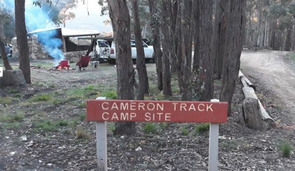
Cameron Track Camping Area
Cameron Track Camping Area is a good place to get your Hiking Boots on, and tackle a few of the walks, don't forget to take your camera with you.
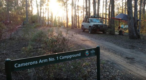
Camerons Arm No1 Camping Area
Camerons Arm No1 Camping Area, is a nice bushy camping area, you will need levelling blocks here, and this campsite is not far from Lake Tyres.
No Camping is permitted within 50 meters of the waters edge.
This is an amazing place dip your kayak in the w ...
Read More...
Water is limited at the Campaspe River Rest Area, the river runs at trickle in the river most times, and it's worth the time to walk over and take a peek. This location is quite a popular rest area, so expect company if you decide to stay overnight.
The Canadian Gully Bushland Reserve Rest Area you might be lucky and catch a yabbie or two for the tucker bag.

Cape Conran Coastal Park
Cape Conran Coastal Park
Escape to the natural beauty of Cape Conran Coastal Park, a sprawling coastal wilderness spanning 11,700 hectares in East Gippsland, Victoria. Situated near Marlo, approximately 396 km from Melbourne, this park offers a diverse l ...
Read More...
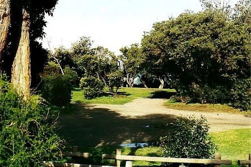
Cape Liptrap - Bear Gully
Cape Liptrap - Bear Gully Camping Area has a long drop toilet, lots of wildlife around, and you can sleep to the sound of waves crashing on the beach. Mostly rock beaches so not ideal for swimming, but there are some nice rock pools to explore.
There are ...
Read More...
The Caroline Pool Rest Area, is a nice naturally formed water hole, so make sure you have your camera on hand to capture the wildlife at dusk coming to drink. The water level varies depending on drought conditions.
Turn off Duncan Road at GPS -18.240968, ...
Read More...
The Cassilis War Memorial Park Camping Area, located in Cassilis, New South Wales, offers camping facilities for travellers. It's a convenient spot to stop and explore the local area.
The most reliable method to confirm the current price for powered site ...
Read More...
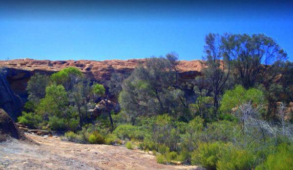
Cave Hill Camping Area
The Cave Hill Camping Area has a public toilet, fireplaces with bbq, picnic tables and some nice shady spots to camp. I would recommend a 4x4 if you wish to visit this natural rock feature, it's located approximately 90 kilometres south of Coolgardie, and ...
Read More...
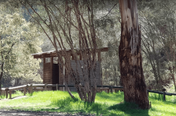
Chaffe Creek Camping Ground
Chaffe Creek Camping Ground is a great campsite spread across 2 sections, there are long drop toilets and a few fireplaces. This camping area is a bit more open than a few others close to this location. You can also catch a fish dinner if you try hard eno ...
Read More...
The Cherrypool Park is next to the Glenelg River. with room to maneuver and places to park along this dirt road. You can try your hand at fishing or grab a camera and stretch your legs. If your in need of the toilets you have a around half a kilometer to ...
Read More...
At the Chinaman Creek Dam Recreation Park you should keep an eye open for freshwater crocodiles in the dam, take your kayak for a spin and a camera in case something pops up out of the water with big teeth, or try your hand at fishing.
NO CAMPING PERMITT ...
Read More...
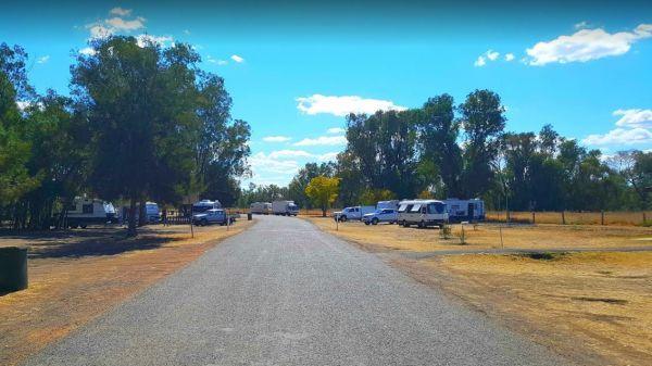
Chinchilla Weir Camping Area
While at the Chinchilla Weir Camping Area you will enjoy hearing hardly any traffic noise, as the main camping area is set well away from the road. Approx 8 powered sites - donation can be made at tourist info centre for power. Drop the kayak and go for a ...
Read More...
The Claude Wharton Weir Park is busy in the morning with locals taking a walk, nice boat ramp and plenty of opportunities to get your line wet, it's well worth a peek. NO CAMPING PERMITTED
Clunes Caravan Park: A Peaceful Retreat in Australia's First Booktown
Clunes Caravan Park offers a small, quiet, and friendly escape, ideally situated in the heart of the historic town of Clunes, Victoria. Located at 17 Purcell Street, the park is nestle ...
Read More...
The Cockatoo Lake Reserve is a lovely bush camp where you can take the kids with you. The lake itself may or maynot have water in it, due to seasonal drought conditions.
Cockburn Rest Area
Cockburn River Camp Area the rivers water level can be anything from a bunch of pools to a trickle, so make sure you have brought sufficient drinking water with you, if you intend to stay a few days.
The Cohen Rest Area has a few fireplaces with plenty of space to park your caravan with easy access for all sized rigs, there are some rubbish bins and lots of shady spots to choose from. If you do stay overnight, you will hear some traffic noise as truck ...
Read More...
Coochin Creek Camping Area
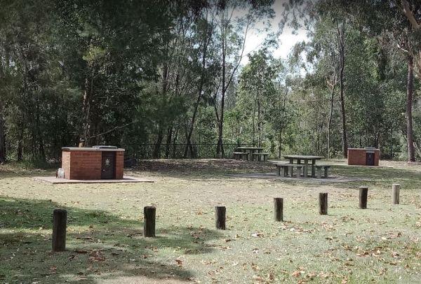
Coochin Creek Camping Area is a flat, grassy area beside Coochin Creek, ideal for visitors who enjoy fishing and boating and there is also a boat ramp available.
Coonawarra Bush Holiday Park
Coopernook Forest Park Camping Area
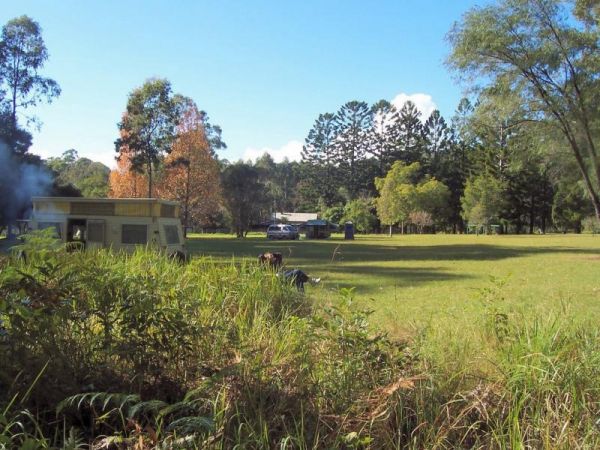
The Coopernook Forest Park Camping Area has some nice large grassy areas to pitch a tent or park your caravan.
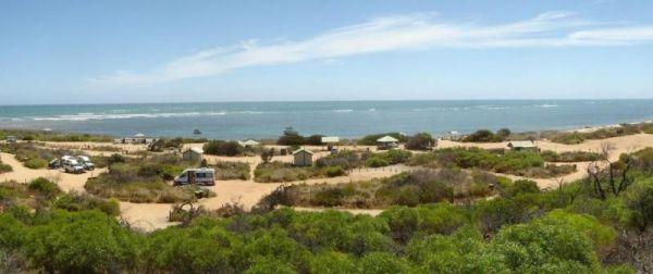
Coronation Beach Campground
The Coronation Beach Campground is a lovely little spot with drop toilets, shower cubicles, covered eating areas, rubbish bins and a small playground. There is a protected beach with outer reef, fishing, diving and snorkelling are pretty good here.
This ...
Read More...
The Cotter Campground is located on the banks of the Cotter River with access to fishing, swimming and quite a bit of wildlife including emus and kangaroos, and there are walking tracks available. This campsite has bbs, fireplaces, potable water, hot show ...
Read More...
Cotton Tree Creek Camping Area is a beautiful campground! Quite, peaceful, and good facilities. For those of you who enjoy short walks, the Granya Falls (seasonal waterfalls) is about a one Kilometre walk away from here. Plus there is also another 5k walk ...
Read More...
If stopping at the Crawford Creek Rest Area take a rest, and stretch the legs, use the public toilets, or have bbq and picnic at one of the tables, or simply have a yawn or two, and that pretty well sums up this spot.
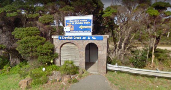
Crayfish Creek Van and Cabin Park
The Crayfish Creek Van and Cabin Park has good facilities and they have an after hour phone number available plus an on site manager 24 hours a day.
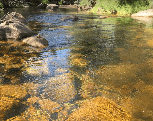
CRB Camping Area
CRB Camping Area is close to the Cobungra River, so have a go at fishing or swimming, and for the more adventurous, grab your kayak and navigate upstream a bit.
Creswick Holiday Park
Nestled in the heart of the Goldfields region, Creswick Holiday Park offers a peaceful and natural escape just a short drive from Ballarat. Surrounded by native bushland and bordered by the tranquil Creswick Creek, this park provide ...
Read More...
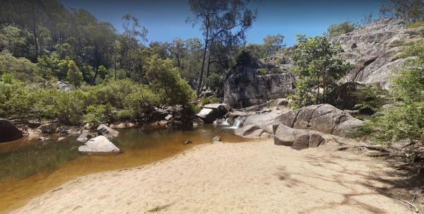
Crows Nest National Park Camping Ground
The Crows Nest National Park Camping Ground, has allocated campsites and there some nice walking tracks to explore, with a few more difficult for those younger. There are thirteen sites, mostly flat with wood fired barbecues (byo wood) and drop toilets. T ...
Read More...
Cumberland River Holiday Park
Nestled directly on the iconic Great Ocean Road, approximately 7 kilometres south-west of Lorne, Cumberland River Holiday Park offers a tranquil escape where the mountains meet the sea. This picturesque park is renowned for ...
Read More...
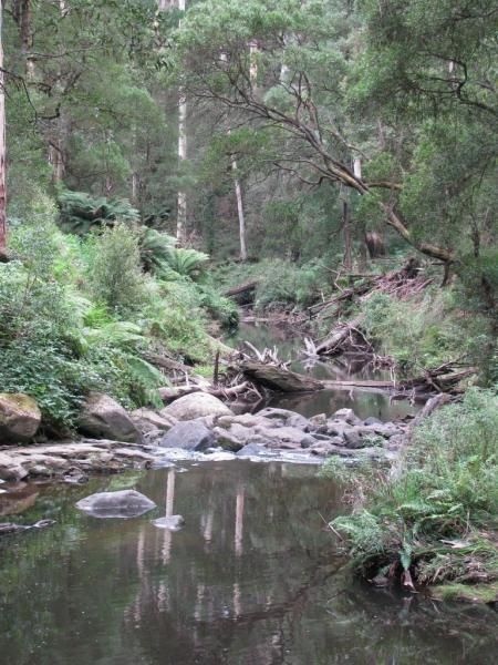
Dando's Camping Area
The Dando's Camping Area is well set up campsite with lots of camping areas and relatively easy access by car. The river is very close and easily accessible. There's 2 clean drop toilets, and some fire pits with bbq swing plates. The Dando's Camping Area ...
Read More...
The Dangar Falls Picnic Area has a great photographic opportunity in almost any direction, as long as you're pointing at the waterfall hahaha. It's easy walking along the boardwalk.
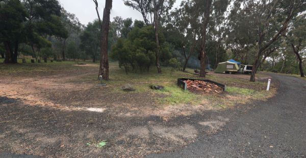
Dangars Gorge campground
Dangars Gorge campground has public toilets, undercover picnic tables, wood fireplaces with bbq facilities, wood is supplied, and there are some nice places for your caravan to park.
The Dartmoor Turnoff Rest Area has plenty of room to park your caravan for the night. Shade is fairly limited and there are two picnic tables at your disposal here.
At the David Hall Rest Area you take a break, and have a picnic in the covered tables area, there is no shade here, so don't think you can stay in your van during the day, you'll cook. There is a Monument to Engineer David Hall located here.
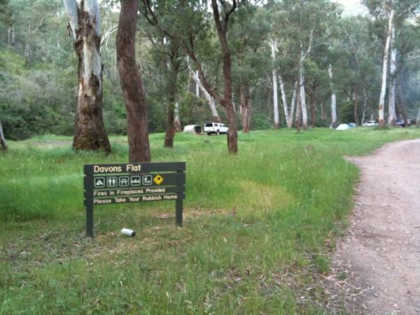
Davons Flat Camping Area
The Davons Flat Camping Area is a beautiful spot alongside the Howqua River and hugely popular. It is part of the Howqua Hills Historic area and just next door to Sheepyard Flats another very popular camping area. This area was used for gold mining, so if ...
Read More...
The Delegate River Camping Area and is a beautiful little campground with approximately 6 suitable areas to camp at. There are fire pits with bbq plates, a long drop toilet. As the name suggests, this camping ground is next to the Delegate River, so don't ...
Read More...
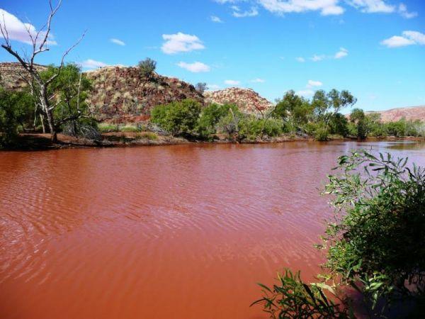
Des Streckfuss Rest Area 24 Hour Limit
The Des Streckfuss Rest Area has public composting toilets, undercover picnic tables and bbq facilities. You can walk to the Gorge Creek, but the water levels will vary with the season, so it may or may not have any water in it, but take your camera anywa ...
Read More...
Discovery Parks - Geelong
Discovery Parks - Geelong offers a fantastic holiday experience nestled alongside the picturesque Barwon River, just minutes from Geelong's vibrant city centre. This park serves as an ideal base for exploring the diverse attract ...
Read More...
The Ditchfield Camping Area is a great campsite, it has drop toilet and hut with a fireplace. There are a few of the hiking trails that might be of interest.
The Domblegabby Rest Area, has a fairly level gravel surface to park your caravan. There is a large undercover area and a few shade trees, and lots of rubbish bins. There is tank water here, so make sure you boil the water before drinking it.
Dongara East Rest Area is a large gravel area with some shade trees to park under. There are some picnic tables and rubbish bins at your disposal and is fairly close to the Midlands Road, so could be a bit noisy at times.
If your stopping at the Dululu Rest Area pop in to the Dululu Hotel for showers and power if needed, walk over to the Dee River and cast a line in to try and catch lunch.
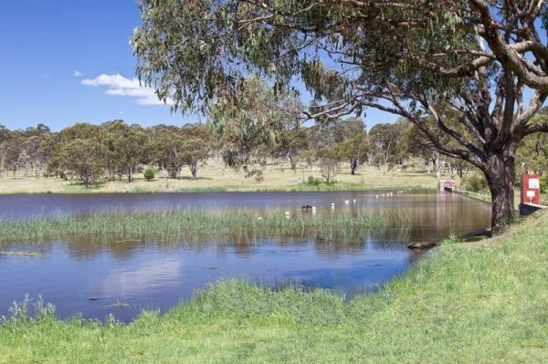
Dumaresq Dam Recreation Area
The Dumaresq Dam Recreation Area is a beautiful, peaceful, atmospheric place to be with plenty of room to park, a children's playground, fireplaces with bbq facilities, good fishing and a few picnic tables and rubbish bins. Just be careful, and check for ...
Read More...
The Dundas Rocks Camping Area has some picnic tables in the shade, and fire pits with bbq and some rubbish bins. There is not a lot of level ground for any sort of camping. There are natural rock formations, the ruins of the town water supply, the town it ...
Read More...
The Dunham River Rest Area is a great spot for a short stopover, located on a large gravel area with some shady trees. There are public toilets with a black water dump point, undercover picnic tables and wood fired BBQ's. (Bring your own wood). Water leve ...
Read More...
The Eadine Springs Rest Area is a good place to stop over for the night for motorhomes, caravans etc. There are some undercover picnic tables, wood fired bbqs, rubbish bins, and some shady trees to park under.
The Edaggee Rest Area is a large gravel area to park your caravan, it has a flushing public toilet with a black water dump point, undercover picnic tables, rubbish bins, but no shade. This is a popular place, so you will have quite a few fellow travellers ...
Read More...
Edi Cutting Camping Area has crystal clear water in the King River, and plenty space for camping. There’s two toilets available and this place gets very busy over holidays. This campsite is really a nice place for the kayak, and a bit of fishing or simply ...
Read More...

Ellenborough Reserve Camping Area 14 Day Limit
The Ellenborough Reserve Camping Area is a nice grassy area where the Hastings and Ellenborough Rivers meet. It's a rather nice spot to spend a few hours or days simply relaxing.
The Ellendale Pool Camping Area is an excellent peaceful camp over well worth the stop, bitumen road for most of the way and approximately 1.3km dirt road. It's incredibly affordable and has flushing toilets a Gas bbq, Rubbish Bins a shaded seating area. ...
Read More...
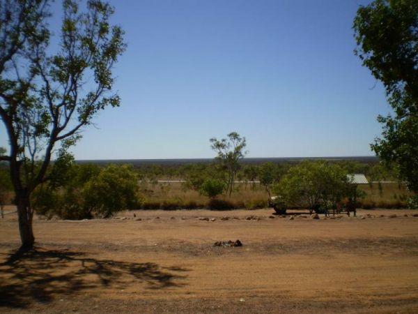
Ellendale Rest Area 24 Hour Limit
The Ellendale Rest Area is gravel surface with no shade, set back approximately 300 metres from the main road. There are public toilets with a black water dump point, fireplaces, and undercover picnic tables with plenty of room to park your caravan or mot ...
Read More...
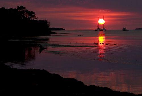
Emu Bight Camping Area - The Lakes National Park
Emu Bight Campground National Park you must bring your own drinking water, there are fireplaces and bbqs. Fires may only be lit in the fireplaces provided and Campers are required to bring their own firewood. Pop your kayak in tho the lake and enjoy the b ...
Read More...
The Ensay South Rest Area is on the banks of the Tambo River you will pretty much get this place all to yourself.
Erica Caravan Park
Erica Caravan Park is perfectly positioned as "Nature's Gateway" to the breathtaking natural attractions of Victoria's High Country. Located in the small, charming township of Erica, this park offers a peaceful and friendly atmosphere, ...
Read More...
The Escort Rock Rest Area is a nice little spot off the main road, with plenty of shade to be had. There are undercover picnic tables, fireplaces with bbq facilities, rubbish bins and a few tracks that lead into the scrub, but make sure you know where you ...
Read More...
Euroa Caravan Park
Euroa Caravan Park is a welcoming park nestled on the picturesque banks of Seven Creeks, offering a relaxing getaway surrounded by beautiful parkland. It's conveniently located a leisurely 10-minute stroll from the Euroa town centre an ...
Read More...
Ferntree Camping Ground has a short and easy walk to Ferntree Falls from the carpark. To camp here you will need to book online with Parks Victoria. has 5 suitable campsites on mostly uneven ground. Take a short hike to the Ferntree Waterfalls and take yo ...
Read More...
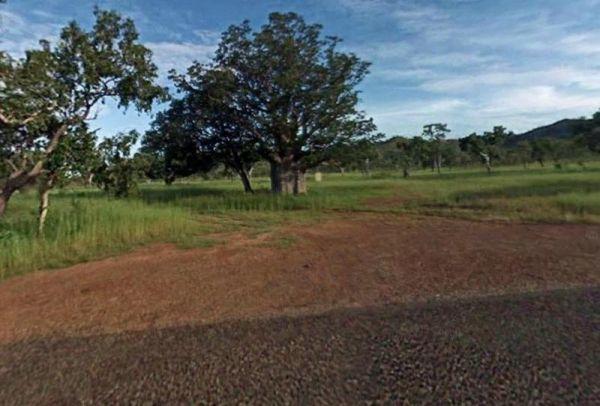
Fine Spring Creek Rest Area
Fine Spring Creek Rest Area is not often used, but there is a picnic table and fireplace here, the surface is gravel and there are a few trees for shade.
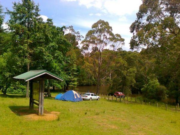
Firth Park Camping Area
The Firth Park Camping Area has some undercover Picnic Tables, there is also a small lake where you can try to catch a fish or two. Not many places for caravans, but plenty of room for tents, there are 4 long drop toilets, fireplaces with swivel bbq plate ...
Read More...
Fishbone Flat Camping Area is a nice spot along the Arnold Creek, with a few fireplaces and no other facilities to grace this campsite.
Ford Run Rest Area is a gravel area set amongst low shrubs with plenty of places to park your caravan on fairly level ground. There a few picnic tables, a fixed fireplace, no shade, and not much to to do here.
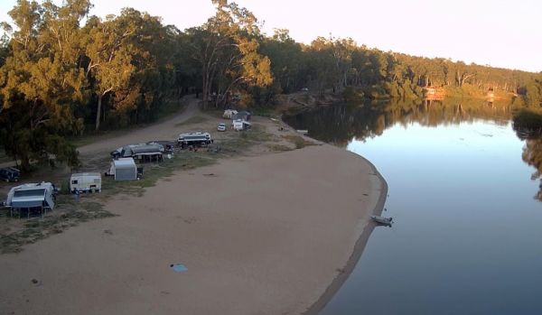
Forges Beach No 1
Forges Beach No 1 can accommodate large vans, and provides excellent camping right on the Murray River. This campsite is a safe place for the kids to swim and is very popular during public holidays. There are long drop toilets at the campground.

Four Mile Reserve Camping Area
The Four Mile Reserve Camping Area is a great spot on the Barwon River, with flushing toilets, cold water showers and bbqs. This is a large campground with plenty of flat spots to park your caravan. There is a Jetty and a Boat Ramp, for those who like fis ...
Read More...
The Franklin River Reserve is close to the Franklin River, with wood BBQ's and picnic tables scattered around.
The Fraser Range Rest Area is an excellent overnight stop, with plenty of shaded and level camp spots to park your caravan, or motorhome. There is a long drop toilet with a black water dump point, undercover picnic tables, and rubbish bins.
The Frenchmans Creek Camping Area is a really nice peaceful and quiet camping ground next to the Big River for fishing. There are lots of tracks to explore and heaps of spots to camp and the campsites are better suited to vehicle based camping rather than ...
Read More...
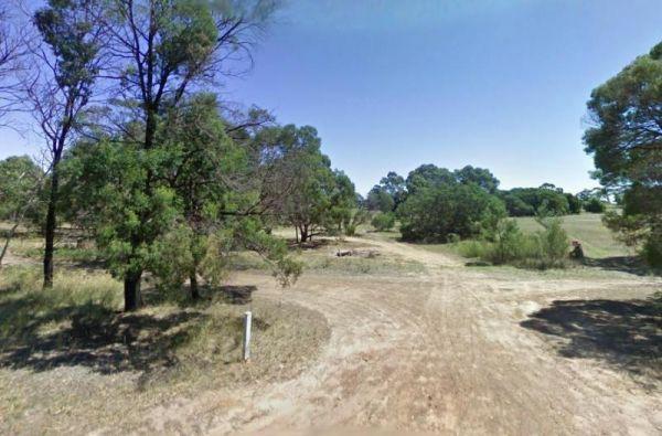
Freshwater Lake Rest Area
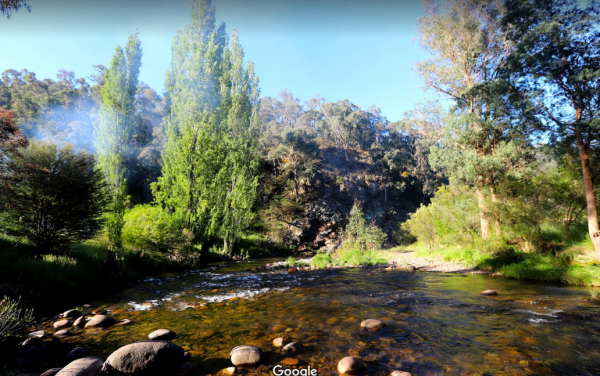
Frys Flat Camping Area
Frys Flat Camping Area is a picturesque campsite with a long drop toilet, and fire pits with the Howqua Hills Historic Walk on your doorstep and it will take you around 1 1/2 hours to complete. The king parrots and kookaburras are overly friendly, so watc ...
Read More...
The Fullers Lane Rest Area is set back from the road it's a rather large area to pull over, with plenty of space to park your RV or Caravan.
The Galena Bridge Rest Area is a beautiful bush camping spot for overnight stop with plenty of room on both sides of the river to find a quiet spot. There are quite a few long drop public toilets with black water dump point, picnic tables and rubbish bins ...
Read More...
The Gang Gang Gully Camping Area has no rubbish bins onsite, you should take your rubbish home with you. If you want to light a fire, gather only dead wood and don't cut down any trees.
The Gascoyne River Middle Branch Rest Area is a good place to stay overnight with room to park all sized rigs. There are long drop public toilets with a black water dump point, undercover picnic tables, and rubbish bins. There is a mining sleuth that was ...
Read More...
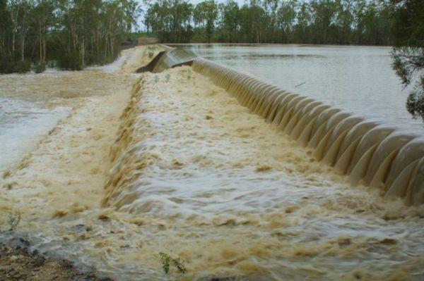
Glebe Weir
At the Glebe Weir they hold a Fishing comp on the June long weekend. this is a low cost camp site. There is asphalt all the way to the weir, and plenty of space once you get there. BRING Your own water and wood for your fireplace plus a long power leads.
The Glenriddle Recreation Reserve Camp Area is a large area with plenty of places to choose your campsite,. There is an undercover picnic table, a public toilet and a few rubbish bins. The Manilla River is close by for those eager fishermen amongst you, a ...
Read More...
Glendinning Camping Area has plenty of space for you to find that perfect spot to setup camp. There are long drop toilets, views of grampians, and good fishing spots.
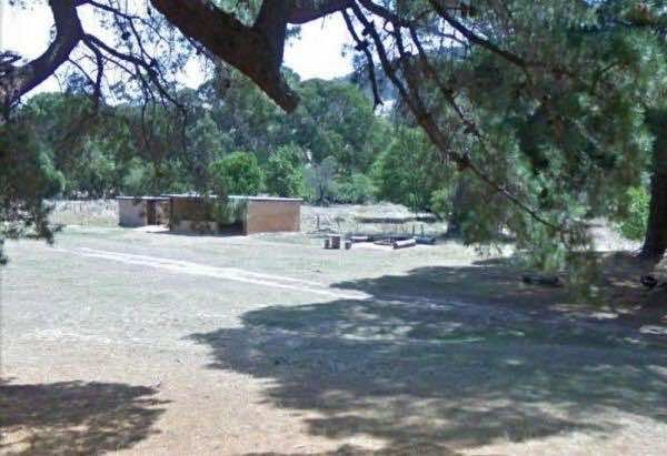
Glenpatrick Recreation Reserve
Glenpatrick Recreation Reserve, nestled in the picturesque Pyrenees region of Victoria, Australia, offers a tranquil and free camping experience for those seeking a natural bush setting. Located near the town of Glenpatrick, the reserve is a spacious, gre ...
Read More...
Glenriddle Rec Reserve Camp Area is a great free camping ground beside Manilla River on the upper limits of Split Rock dam. This is a huge area suitable for all types of camping - caravans, campervans, mobile homes, tents, and there is a boat ramp. There ...
Read More...
Glenrowan Caravan and Tourist Park
Nestled amidst 35 acres of natural bushland at the foothills of the Warby Ovens National Park, Glenrowan Caravan and Tourist Park offers a tranquil escape just 2.5 kilometres from the historic town of Glenrowan. This qu ...
Read More...
Gloryvale Reserve Camping Area is a great spot for a weekend or overnight just to get away. Reasonably level ground for your caravan with concrete fire pit bbq, long drop toilet, and picnic tables. There are fish and yabbies in the Manning River that runs ...
Read More...
The Goldwire Rest Area has some long drop public toilets with a black water dump point, picnic tables, some wood fired bbqs and plenty of level ground to park your caravan. This rtes area is set well back from the Great Northern Highway, so passing noise ...
Read More...
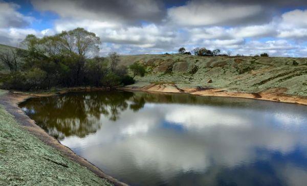
Gorge Rock Pool Picnic Area
The Goulburn River Rest Area is a place to take a break from driving and maybe catch a fish for dinner. It's a nice spot to have a rest, and take a few photos while exploring the Goulburn River.
Granite Creek Rest Area is a bit of a squeeze for big rigs so be aware of this if you intend to stop and have a BBQ here.
The Grannys Flat Camping Area has a few 4x4's tracks to check out. There are no built fireplaces at this site, so please use a previous campfire site and clean up afterwards. This is a nice place on the Jamerson River, for those of you who enjoy fishing e ...
Read More...
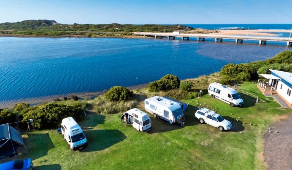
Great Ocean Road Tourist Park
Great Ocean Road Tourist Park
Great Ocean Road Tourist Park is situated at Peterborough, right on the Great Ocean Road, near the bridge over the Curdies River inlet and a short 150 metres from the main beach. This multi-award-winning park (voted Victoria ...
Read More...
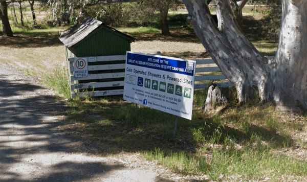
Great Western Racing & Recreation Reserve
Located in the heart of Victoria's picturesque Grampians region, the Great Western Racing & Recreation Reserve offers a spacious and shaded setting for camping and recreation. Situated within the grounds of the Great Western Racecourse, the reserve sp ...
Read More...
At the Green Hill Lake Camping Area, you can stay for 4-5 days and a permit is need for longer stays. free hot showers and a good toilet facility, bbq, fire pits, a children's playground and lots of rubbish bins. You can swim, kayak and explore the island ...
Read More...
When visiting the Greens Point Camping Area you can pop over to the historic old township of Sofala, it's well worth the short drive from your campsite.
Gulpa Island Precinct Camping Area has plenty of places to pull over and enjoy the scenery. You might want to check this location first before committing to taking a large caravan in, as the road can be a bit difficult in places.
At the Gunbower State Forest Camping Area has lots of camping spots and very clean and tidy, with long drop toilets, you can take caravans in, the tracks are a bit rough in spots, but passable, and you will be rewarded with a good campsite next to the Mur ...
Read More...
The Gunnedah North Rest Area 2 is just off the Kamilaroi Highway, a rubbish bin and an old wood fired BBQ are located here. There is plenty of room to park your caravan under some gum trees.
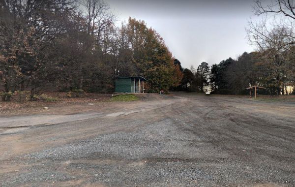
Gurney VC Rest Area
Gurney VC Rest Area has good views across the dry Lake George. There are some trees for shade and a loop road that you can pull off with your caravan. Public toilets, picnic tables, wood fired bbq facilities and some rubbish bins.
Your campsite donation can be paid at the local store using the envelopes provided.
The Halfway Bridge Rest Area is really nothing more than a place to pull off the main road and take a break from driving. The parking area is short dirt road, with a few trees for shade, and you can walk along the creek to get a photograph of the bridge i ...
Read More...
Halls Gap Lakeside Tourist Park
Halls Gap Lakeside Tourist Park is a family-owned tourist park set on nine hectares (22 acres) at the edge of the majestic Grampians National Park. It offers a tranquil, park-like setting teeming with native wildlife, incl ...
Read More...
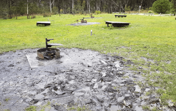
Hammonds Road Camping Area
The Hammonds Road Camping Area is a nice spot with lot of kangaroos visiting the campsite at night and colourful parrots during the day. There are individual fire pits and lot of benches near your camp, clean toilets and tank water for dishwashing. There ...
Read More...
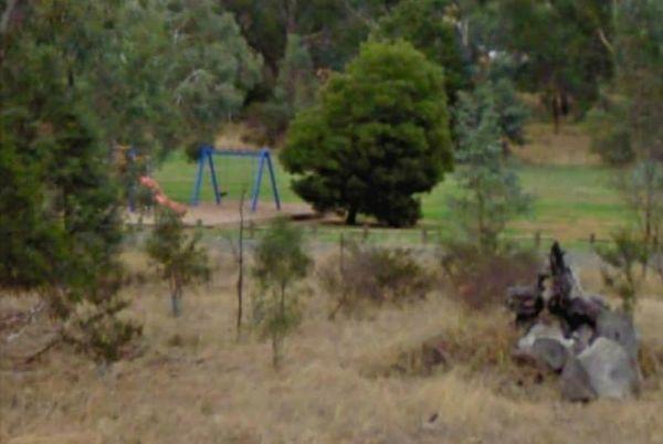
Happy Jacks Recreation Reserve
Happy Jacks Recreation Reserve is a spacious and free camping and day use area situated beside Bullock Creek in a bushland setting near Lockwood South, Victoria. It offers a relaxed natural environment for visitors.<
The reserve features a large, ligh ...
Read More...
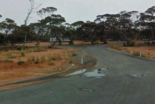
Harms Lake Rest Area 24 Hour Limit
The Harms Lake Rest Area is fairly roomy with quite a few places to park your caravan under some small shady gum trees. There are some fireplaces, picnic tables, and rubbish bins here, and you can park a bit further into the scrub if your game.
The Hattah-Kulkyne National Park Camping Area has lovely walks through the Mallee with plenty of bird life and gorgeous flora. It's a semi-desert national park, and very flat with lots of Emus, Kangaroos, Possums etc. There are a a few separate Camping ar ...
Read More...
The Haythorpe Reserve Camping Area has plenty of places to choose from, and you are right on the banks of the Murray River.
Heathcote Queen Meadow Caravan Park
Nestled at the foot of the picturesque McIvor Ranges, Heathcote Queen Meadow Caravan Park is a peaceful, 10-acre park offering a relaxed and natural setting in the heart of Victoria's Heathcote wine region. This friend ...
Read More...
The Hellyer Gorge Rest Area is a lovely spot to stop if you're heading through to Cradle Mountain or Waratah, with beautiful walks through the myrtle rainforest down to the Hellyer River.
The Henry Angel Flat Camping Area is a nice spot to enjoy a week or two, fishing swimming photography and short walks all on your doorstep.
Hiscocks Crossing Camping Area is situated on the Banks of the Crawford River, with camping permitted only at Hiscocks Crossing, where the public toilets are provided. This is 4x4 country
The Hobart Beach campground has drop toilets, hot showers, wood fired bbq on each campsite. Close to lake and beach, with lots of wildlife, including goannas, wallabies, echidnas and possums.
For the fishermen, you can catch prawns at night
Note: The pa ...
Read More...
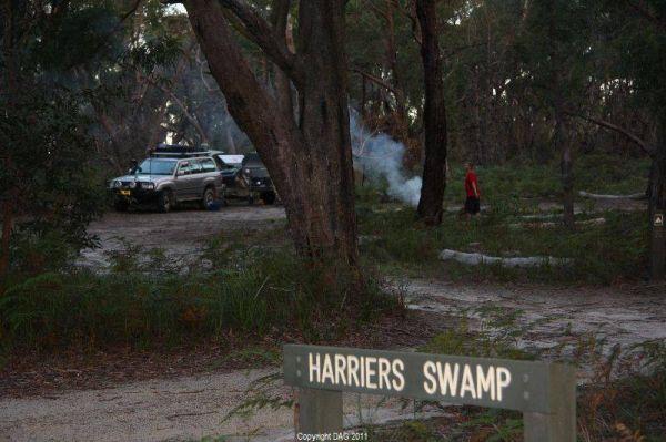
The Holey Plains State Park - Harriers Swamp Campground is 10kms south east of Rosedale. The park is situated south of the Princes Highway between Rosedale and Sale. The main access is from Rosedale, via the Rosedale Willung Road and Recreation Racecourse ...
Read More...
The Honeysuckle Campground has good spacing for campsites so you don't feel too crowded, but it does get busy over the weekends. There are public toilets no flushable type also undercover picnic table, fireplace and two gas barbeques.
Note: Rain water ta ...
Read More...
The Horseyard Flat Camping Area has a nice and the stunning walk to the Falls and gorge. There are lots of 4x4 tracks to explore, the lower campgrounds back right onto the Moroka River.
Set next to the Hospital Creek and just off the Princess Highway, Its a place to stop and have a BBQ at.
The House Creek Bridge Rest Area has public toilets with black water dump points, picnic tables, rubbish bins and some shade trees to park your caravan under. The ground is fairly level for camping, and the main camp area approximately one hundred metres ...
Read More...
The Howlong Lions Park Rest Area is not a bad spot on the Murray River. There are public toilets, picnic tables, bbqs, and rubbish bins with a lot of level ground to park your caravan, and gum trees for shade.
NOTE: No Camping Allowed
Pop over to the Tr ...
Read More...
Pull off the main road on the outskirts of town at the Hughenden Rotary Rest Area, walk or ride your bike to Brodie Street, the main shopping centre for Hughenden, pop over and take a meal next to the dinosaur.
The Inca Creek Rest Area has plenty of room to park your caravan. There are a few picnic tables and wood fired bbq facilities with a few shade trees here, and plenty of room to walk the dog.
The Isla Gorge National Park Campground is a little rocky so just a little extra care when setting up, if you tow a caravan, be aware it can be a bit of a tight squeeze to position your van into a suitable camping spot. There is a long drop toilet, underc ...
Read More...
Italian Flat is a large flat campsite, with one toilet located on the banks of the Upper Dargo River. You will find a couple of small shallow swimming holes on the river and this camp is only 10 min from Dargo.
The Jackass Fern Gully Camping Area is a peaceful stop off point to for a day or two and nice flat campsites, with a few walking tracks to take your camera along.
James Camping Area is quite close to the Moonee Creek is quite close to this spot. There are fire pits with swinging hot plate and long drop toilets with plenty of shade to park.
The James Price Point Camping Area has four cliff top campsites, there are some fireplaces and cliff top view of the open ocean. Access to the beach is via 4x4 and can be a bit tricky, it has also been reported that getting off the beach can be a bit diff ...
Read More...
The Jane Duff Highway Park Rest Area has a historical marker dedicated to Jane Duff, one of three Duff children who in 1864 that was found by an Aboriginal tracker, after being lost for nine days in the bush.
There is also a small lake nearby if you fanc ...
Read More...
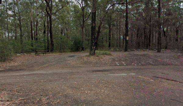
Jerrawangala Rest Area
The Jerrawangala Rest Area is right on the edge of the Princes Highway, it's a place to have a break and a picnic.
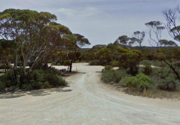
Jilah Rockhole Rest Area
The Jilah Rockhole Rest Area has public toilets, picnic tables, and rubbish bins with lots of shady spots on level ground to park your caravan. This rest area is a short distance off the Eyre Highway with plenty of campsites under trees to choose from.
At the Jim Newman Rest Area you can take a break from driving long enough to have a picnic then on your way feeling refreshed.
Jingellic Reserve Camping Area is a beautiful spot right on the Murray River, free camp, with gumtrees offering shade and quite a few spots to camp at there are some rubbish bins, the toilets and showers are available at the back of the pub across the roa ...
Read More...
The Jones Camping Area has a public toilet, and some fireplaces, and is located next to the Holland Creek, so fishing for trout is a possibility, and there are plenty of photographs waiting to be taken here.
The Jounama Creek Camping Area, has plenty of riverbank areas for camping on with your caravan. There is a long drop toilet, fire pits and the Jounama Creek has crystal clear water, with Rainbow and Brown Trout waiting to be caught. You will also see cock ...
Read More...
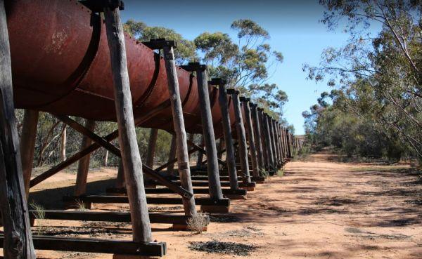
Karalee Rocks Camping Area 72 Hou Limit
The Karalee Rocks Camping Area is a nice place to stay, there is a flushing toilet and an RV black water dump point, picnic tables and fire pits. You can swim in the dam, or catch a feed of yabbies. The camping area has lots of shade to park your caravan. ...
Read More...
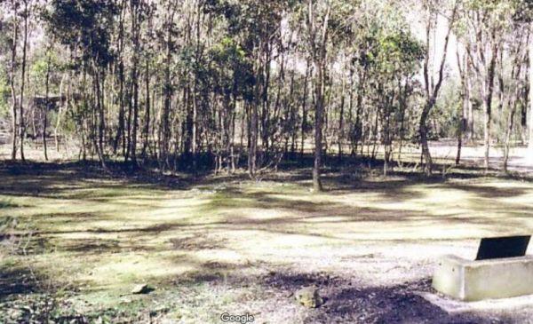
Karri Track Camping Area
The Karri Track Camping Area, there is a drop toilet and a few picnic tables and fireplaces provided.No bookings are required here and the camping area is off Old Avoca Road on the Karri Track, it's a well-graded unsealed road.
Note: This is a first in g ...
Read More...
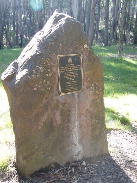
The Kelly Tree Stringybark Creek Camping Area, has public toilets, picnic tables and fire pits, and plenty of space to set up camp. This campground is located where Ned Kelly's gang murdered 3 Police officers.The names of the fallen officers is listed bel ...
Read More...
The Koorarawalyee Rest Area is level and on a natural dirt surface with lots of places to park your caravan for the night under shady trees. There is a public toilet, fireplaces with bbq facilities, picnic tables and lots of room for your dog to have a ru ...
Read More...
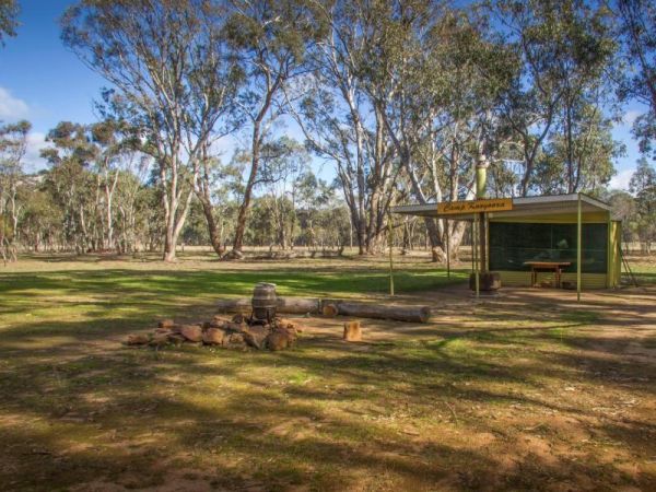
Kooyoora Park Retreat has pet friendly camping and it's only 15 minutes from the Melville Caves with magnificent views of Mt Kooyoora. Camping with all the features of an outdoor kitchen, large fire pit, 80 acres of beautiful private bushland plus thousan ...
Read More...
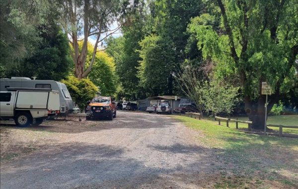
Korumburra Tourist Park
Korumburra Tourist Park
Korumburra Tourist Park offers a peaceful and family-friendly retreat nestled in the rolling green pastures of South Gippsland. Adjoining the Botanical Gardens, the park provides a tranquil atmosphere with majestic trees, abundant ...
Read More...
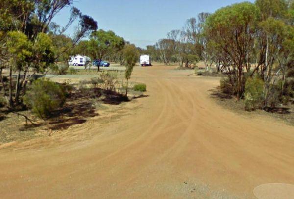
Kumarl Siding Rest Area 24 Hour Limit
The Kumarl Siding Rest Area is a large area with some small trees offering some shade to park your caravan. There are picnic tables, fireplaces with bbq facilities, and rubbish bins so it's not a bad place for an overnighter, but you will be quite close a ...
Read More...
The Kurth Kiln Picnic and Camping Ground is a place for you to chill and relax, walk around the nature along one of the walking tracks found here. There are plenty of good flat spots to pitch tents. this is a lovely little spot close to Melbourne, with go ...
Read More...
Kyabram Western Gums Tourist Park
Discover a tranquil escape in the heart of the Goulburn Valley at Kyabram Western Gums Tourist Park. This welcoming park offers a relaxing setting amongst native gums and lush lawn sites, providing the perfect base for e ...
Read More...
At Lake Barrington Camping Area you can pick your spot from a large grassed area surrounded by large trees. Walk down to the boat ramp and enjoy the scenic view over the lake, or drop a line in and see if there biting today.
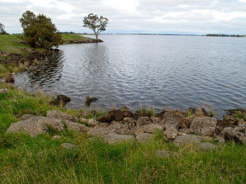
Lake Bolac East Beach Camping Area
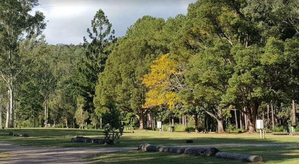
Lake Borumba Camping Grounds
Lake Borumba campgrounds are tidy and clean amenities, hot showers, kitchen and toilet.Activities include beach volleyball playground, table tennis located next to the Yabba Creek is a nice quiet place to visit for a few days, Plenty of Shade, and Grassy ...
Read More...
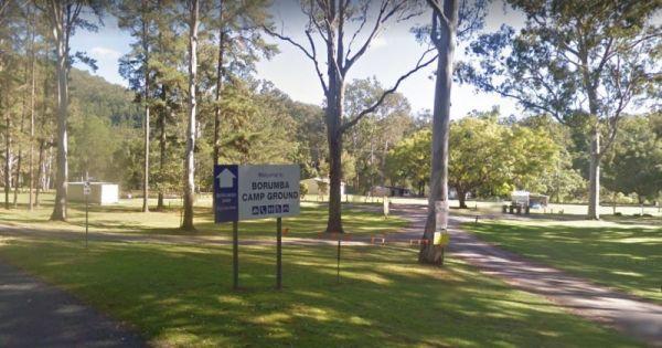
Lake Borumba Camping Grounds
The Lake Borumba Camping Grounds are adjacent the Yabba Creek which flows towards the Dam. There is a camp kitchen, fire pits a toilet block with hot showers and shady grassy spots to camp under.
NOTE: The Onsite Kiosk only accepts cash, so you can't use ...
Read More...
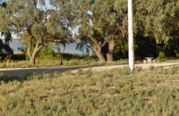
Lake Charm Rest Area
At the Lake Charm Rest Area, you can take a break and have a bbq. This rest area is next to Racecourse Lake.Note: the lakes water levels vary according to the seasonal conditions.
The Lake Cowan Rest Area is very close to the Coolgardie-Esperance Highway with level gravel surfaces with a few small trees for shade to park your caravan under. There are rubbish bins, fireplace with bbq facilities and for the more adventurous, you can ...
Read More...
The Lake Douglas Recreation Reserve road in, past the quarry is very corrugated that leads to a large camping area. The camping area is suitable for caravans that have levelling blocks with them. There is one long-drop toilet, picnic tables and fire pits ...
Read More...
Lake Eppalock Holiday Park
Lake Eppalock Holiday Park boasts an expansive 2.5 kilometres of sweeping lake frontage, making it a premier destination for families, campers, and water enthusiasts alike. Situated on the vast Lake Eppalock, a major reservoir ...
Read More...
The Lake Johnston Camping Area camping ground is reasonable level for your caravan. There are fireplaces with bbq plates and a few trees for shade and quite close the salt lake itself.
Lake Lascelles Rest Area is a great place to free camp around the lake with shady spots right next to the water and brilliant sunsets across the lake. There are toilet and shower facilities, both powered and unpowered sites, a washing machine is available ...
Read More...
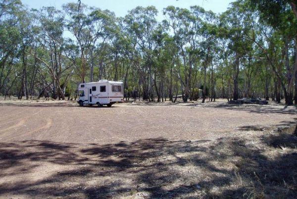
Lake Lonsdale Camping Area
The Lake Lonsdale Camping Area is an awesome free campground, there is 4 different campgrounds. This particular campground has a boat ramp and toilet facilities, and plenty of room to camp. Please Note: There are also NO CAMPING areas throughout the Natur ...
Read More...
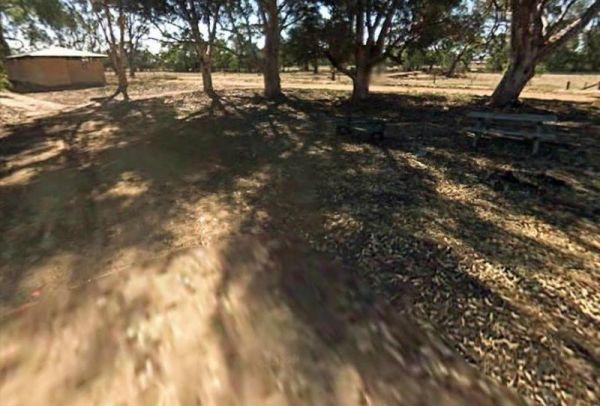
Lake Meran Camping Area
When camping at the Lake Meran Camping Area, water in the lake varies from nothing to full, so fishing is not an option here hahaha. Lake Meran has an Honesty box Fees/Donations used to upkeep of lake facilities and improvements to foreshore:
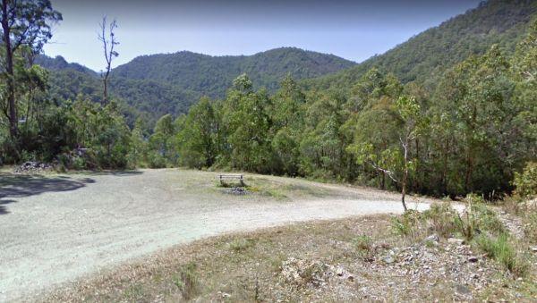
Lake Parangana Camping Area
At the Lake Parangana Camping Area you can relax with a fishing line in your hand, grab your kayak and go explore the lake, blow the dust off your camera and take some unforgettable scenery.
The Lake Ratzcastle Camping Area is an awesome little location right next to the lake. There are two flushing toilets, tank water and a solar powered shower, and lots os campsites to choose from. Maybe you would like to try your luck at catching a Yabbie ...
Read More...
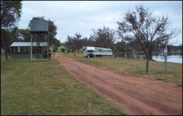
Lake Towerrinning Lakeside Camping
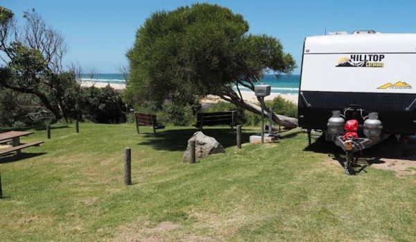
Lake Tyers Camp & Caravan Park
Lake Tyers Camp & Caravan Park, Lake Tyers Beach, Victoria
Lake Tyers Camp & Caravan Park offers a picturesque coastal and bushland camping experience at Lake Tyers Beach in Victoria. Owned and operated on behalf of the Uniting Church in Australi ...
Read More...
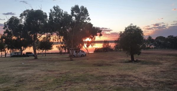
Lake Wyangan Picnic Area 72 Hour Limit
When staying at the Lake Wyangan Picnic Area, you will find some camping spots for your caravan close to the lake with some trees for shade. There are some picnic tables, bbqs and flushing public toilets with cold showers, plus the occasional got and peac ...
Read More...
Lakes Bushland Caravan Park: A Bushland Retreat in Nicholson, Victoria
Nestled on 32 acres of peaceful bushland in Nicholson, Victoria, Lakes Bushland Caravan and Lifestyle Park offers a tranquil escape with a range of facilities for a relaxing holiday. ...
Read More...
The Lal Lal Blast Furnace Rest Area has a picturesque short historical walk at a unique and interesting chapter of Victorian history. There are flushing toilets and a picnic area consisting of some grass that you can put a blanket down on. Be sure to take ...
Read More...
The Lal Lal Falls Rest Area is well worth a detour from the highway to experience this wonder of nature. From the carpark it's a short,250m walk, that allows you to view the falls from 2 different viewing platforms. This spot has a bbq, toilets and shelte ...
Read More...
Lalgambook Picnic Area was once considered the richest alluvial gold-field in the world. Checkout the Old Silkworm Farm (GPS -37.014618,144.31176) and a few other archaeological features associated with it.
The Langford West Camping Area has a pit toilet which is open when the park is open and a few designated spots for fires.
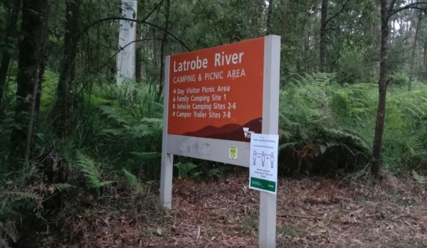
Latrobe River Camping Area
The Latrobe River Camping Area is a great forest campground with some level areas to camp on. There are 2 long drop toilets available and fire pits with bbqs are. This campground is located close to where the La Trobe River and Ada River join. I would not ...
Read More...
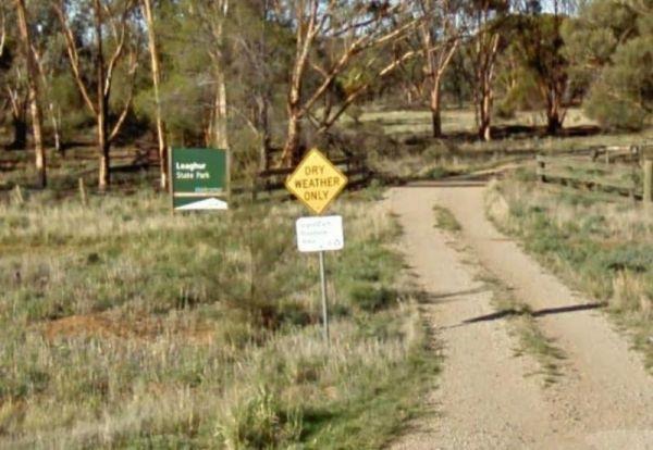
Leaghur State Park Camping Area
The Leaghur State Park Camping Area is a good basic bush camp, with lots of birds, and good bush walking tracks. This is a small campground, 2 to 3 campers most, and is subject to flooding in Winter, so you have been warned. Camping is allowed in both of ...
Read More...
Lemon Tree Flat Camping Area is next to the Severn River. There is one free gas BBQ in a shelter, toilets, and some fireplaces. You will find a few walking tracks here. You'll find lots of wildlife, including Kangaroos echidnas goannas possums platypus et ...
Read More...
At the Leven Canyon Camping Area if you intend to take the 1.2km circuit walk allow a minimum of 45 minutes, be prepared for 697 Steps and some steep sections in the walking track. Also be prepared for severe weather conditions that change quite quickly, ...
Read More...
The Leycesters Rest Area has plenty of room with some sites shaded while the others are in full sun. There is a public toilet with a black water dump point, undercover picnic tables, and a rubbish bin just a short distance from the Ord River. The river is ...
Read More...

Lightning Creek Camping Area
The Lightning Creek Camping Area is a large level and well grassed area with beautiful mountain scenery to set up camp in. There is plenty of room for caravans, clean long drop toilets with wheelchair access, bbqs, picnic tables, large grassy areas with s ...
Read More...
From the Lilydale Falls Reserve Camping Area is best suited to vehicle based tents. It's a short walk to the waterfall, and well worth your time to check it out. Remember to take your camera as you will be snapping off a few shots along your walk.
2!1sen ...
Read More...
Lilydale Pine Hill Caravan Park
Lilydale Pine Hill Caravan Park is perfectly positioned at the gateway to Victoria's renowned Yarra Valley and the majestic Dandenong Ranges. This 10-acre park offers a peaceful rural setting with native landscaping and ab ...
Read More...
The Lima East Creek Rest Area, is a gravel parking area on the edge of the Midland Highway, with lots of trucks going by. There is a picnic table, a fireplace and a bit of shade. the creek has a trickle of water in it.
The Lipson Cove Campground is not sheltered so choose your weather wisely. There are public toilets and fire pits, and good fishing available here. This is a nice sandy bay on the Eyre Peninsula overlooking the Spencer Gulf, you will be quite isolated her ...
Read More...
The Little Creek Reserve Picnic & Rest Area does not have enough water for a kayak unless you enjoy lifting it over the shallow rocky sections. There are wood fired bbqs and picnic tables and some shade to park under.
The Little Styx River Camping Area is a beautiful spot near a small trickling river and is a nice restful place to share with a few other travellers. There is a composting toilet and a few fireplaces come bbqs, and plenty of shady trees to park your carav ...
Read More...
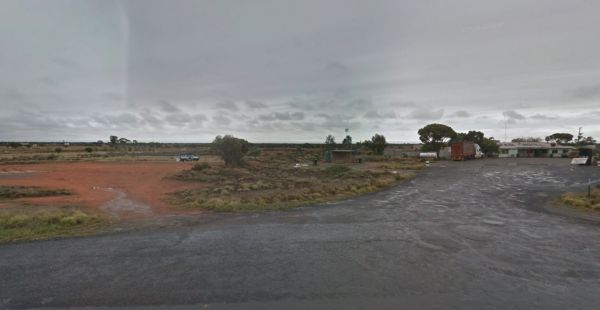
Little Topar Rest Area
If stopping at the Little Topar Rest Area, you can walk across the road to the local Hotel for a lemonade. There is room to park your caravan, with some wood fired bbqs, undercover picnic tables and public toilets for those who don't want some pub food. ...
Read More...
From the Loch Memorial Reserve Camping Area, you can take a short stroll down Victoria Road to the local General Store and pick up a newspaper and some supplies.
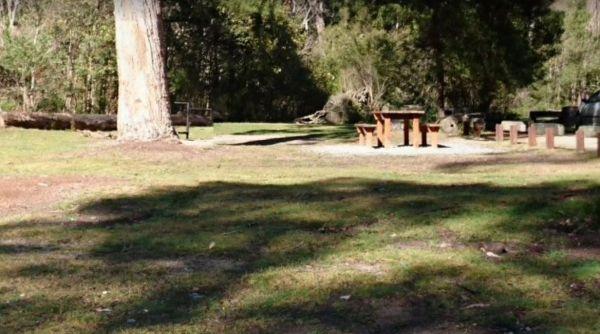
Log Crossing Picnic Area
The Lower Liffey Reserve Camping Area is on the banks of the Liffey River, DO NOT ATTEMPT to Take Your Rig Up To The Falls, you will be asking for trouble if you do. The road is narrow and very winding up to the falls car-park.
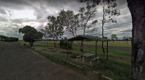
MacFarlane Rest Area
At the MacFarlane Rest Area there is not much to do here, other than take a break from driving, and make a cuppa. The scenery is pretty much the same in all directions. (Rather flat)
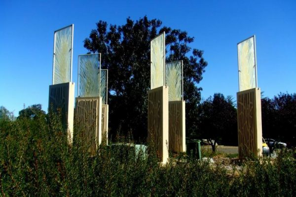
Mackay Park Rest Area
The Mackay Park Rest Area, you can stretch the legs a bit and walk over to the corner of Burley Griffin Way and Olympic Hwy to a local store and get the local gossip. There are picnic tables, Public toilets, wood fired bbq facilities, rubbish bins and ple ...
Read More...
The Macquarie Woods Forest Reserve is a fantastic spot to park our caravan for a few nights to explore Bathurst and has more camping spots than you can poke a stick at. There is a public long drop toilet, picnic tables, fireplaces with bbq facilities, a f ...
Read More...
From the Macrossan Park Rest Area you can drop the kayak in and paddle down and have a look at the twin railway bridges. Perhaps you would prefer to sit on the bank of the Burdekin River, and kill some time fishing. Don't forget to take your camera with y ...
Read More...
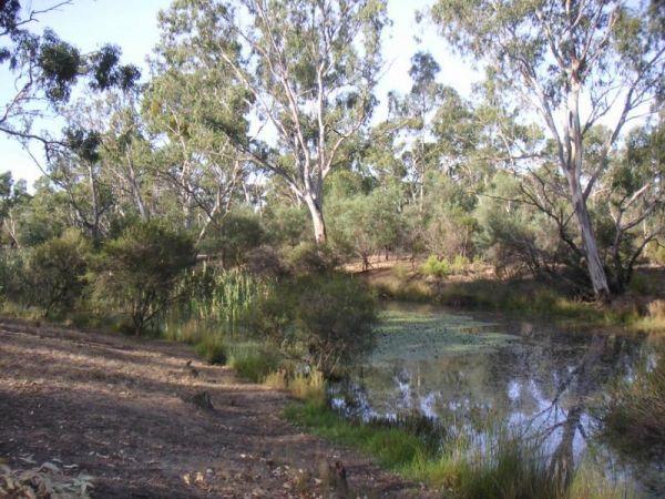
Major Creek Reserve Camping Area
The Major Creek Reserve Camping Area, is a great camp spot if you can get near the water ...it's a bit dusty otherwise with good access for caravans, and depending on what time of the year you stay here especially around Easter, you might hear the scare g ...
Read More...
The Maldon Historic Reserve Butts Camping Area has shady trees, picnic tables, fire pits and flushing toilets, and the occasional kangaroo. It's around 2-3 KLM out of the centre of Maldon, in its northern suburbs but surrounded by bush, and has proper flu ...
Read More...
The Mallee Fowl Rest Area is just off the Sturt Highway, with plenty of room to park all sized rigs. There are public toilets, some wood fired BBQ's, and enough room to take your dog for a walk.
The Mandurama East Rest Area has a Railway line running along the back of this spot, it's an OK spot to enjoy a break from driving and BBQ picnic at the same time.
When visiting the Mann River Nature Reserve, why not pop your Kayak in and paddle up to the Old Bridge, all that's left to see are the supports jutting out of the water. Or you can cross over the river and stay in the Mann River Caravan Park. There is a p ...
Read More...
The Manna Gum Camping Area is an awesome, family friendly place to camp with nice nature walks and Dalrymple Creek to swim in. Toilets and lots of room to pick a campsite from and close to the Dalrymple Creek.
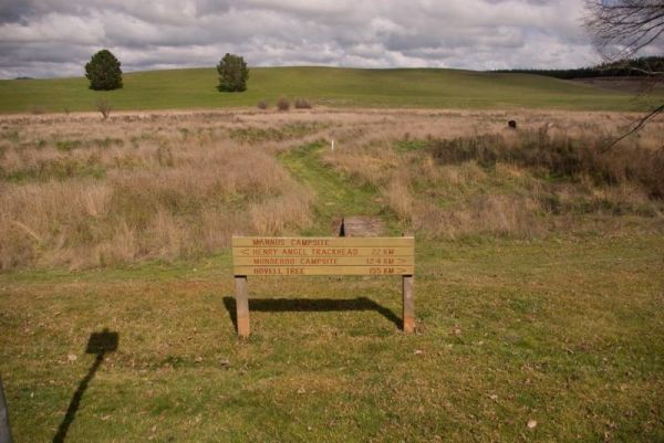
Mannus Camping Area
The Mannus Creek runs next to this site, this is a great base-camp for hiking into the surrounding mountains.
Mansfield Lakeside
Mansfield Lakeside offers a serene and picturesque escape on the tranquil shores of Lake Eildon, just seven kilometres from the vibrant town of Mansfield, Victoria. This family-friendly holiday park is perfectly situated as a gateway t ...
Read More...
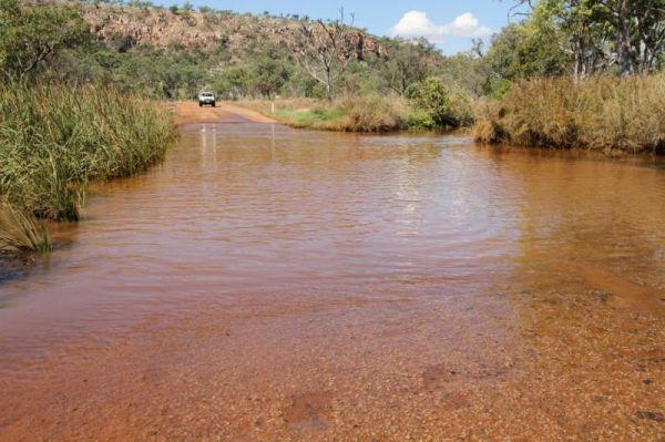
March Fly Glen Rest Area
The Markeys Beach Camping Area is beautiful and isolated with great campsites with a very isolated beach. This is an awesome place to get away and it's so quiet, and is the sort of location where you really need to use GPS navigation to find your campsite ...
Read More...
Marlo Caravan Park and Motel
Marlo Caravan Park and Motel offers a prime location at the mouth of the magnificent Snowy River, in the charming coastal town of Marlo, Victoria. Situated conveniently in the town centre, directly opposite the iconic Marlo H ...
Read More...
The Maroona Rest Area is just another stop over and take a short rest from driving, and it's a short distance from the Mitchell Highway on a small gravel section with an undercover picnic table, wood fired bbq and a few rubbish bins.
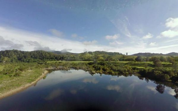
Marr Creek Rest Area
The Marr Creek Rest Area has the makings of a wonderful overnight spot, with the Mann River on your doorstep. There are undercover picnic tables, wood fired bbqs, rubbish bins and tank water here.
The Married Mens Camping Area has a nice new long drop toilet and room for 10+ cars, with good access to running water and dead wood everywhere goes not a lot of tent space available and best suited to 4x4's
The Marrinup Townsite Camping Area road in is a bit rough and corrugated, so adjust your speed accordingly. This is a popular campground that fills up quickly on long weekends, there is a long drop toilet, fireplaces and a few picnic tables. There are ple ...
Read More...
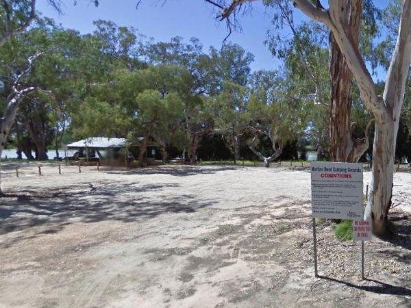
At the Martin's Bend Reserve Campground riverside camping is not permitted, you now have dedicated areas set aside at reasonable prices.
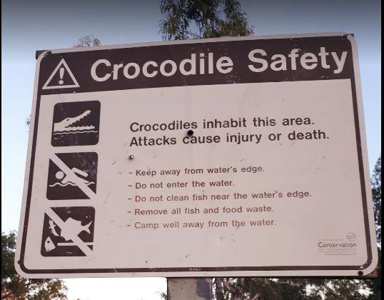
Mary Pool Rest Area
The McClelland Camping Area is a great spot by the river and accessible by 2wd, but best accessed with 4x4's with vehicle based tent camping. You will need to bring everything, and take your rubbish with you, water is available from the Big River, but mak ...
Read More...
The McDermid Rock Camping Area is an excellent small campground with beautiful walks on McDermid Rock. This rock is a smaller Wave Rock, with an interesting trail to follow when you climb it.
It's an easy road for a single axle caravan making it a perfec ...
Read More...
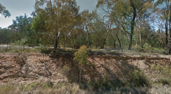
McDonalds Hole Road Rest Area
The McDonalds Hole Road Rest Area is set back a short way from the main road with a few picnic tablets spread around with a nice shaded area. The rest area is on an elevated gravel section, running next to the Castlereagh Highway
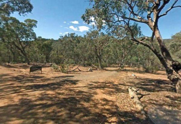
McKillops Bridge Camping Area
The McKillops Bridge Camping Area has walking tracks, a public toilet and quite limited facilities. The campground is within easy walking distance to the Snowy River, for fishing or swimming over the small rocks.
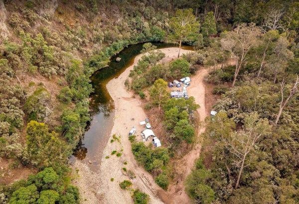
McKinnon Point Camping Area
The Mckinnon Point Camping Area is a lovely secluded flat free campsite close to the Freestone Creek, the only downside is that the sunsets early in the afternoon due to the surrounding cliffs. There is easy access from this campsite to river during the s ...
Read More...
The Meadow Glen Rest Area is set a short distance away from the main road in amongst some trees with a public toilet, picnic table and fixed fire place, water is also available.
The Mendooran Free Camp is a picturesque area on the river and close to township, beautiful setting with plenty of space for caravans and mobile homes. There are undercover picnic tables, flushing toilets, cold showers, and town water tap behind amenities ...
Read More...
Lake Colac holds Redfin and Carp for those who like fishing, and it's a great place to put your kayak into the water, there is even a boat ramp located here. The campsites is on 6 hectares of land with plenty of places to pitch a tent on grass and quiet c ...
Read More...
At the Middle Creek Camping Area, you can take a stroll along the Cave Walking Track, but be warned, it's rather steep.
The Miners Flat Camping Area has some fireplace bbqs, and parking space mainly for 4x4 vehicle based camping and a few tents. Miners Flat Camping Area location map
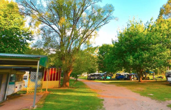
Mitta Mitta Caravan Park
Mitta Mitta Caravan Park
Mitta Mitta Caravan Park offers a tranquil and authentic bush experience, perfectly positioned on 22 acres of Crown land bordering the pristine Mitta Mitta River in Mitta Mitta, Victoria. This park is a true haven for nature love ...
Read More...
The Montagu Camping Area is a very popular place for fishermen with boats. If your shore based fishing there, you can walk out to the Robbins Passage channel at low tide.
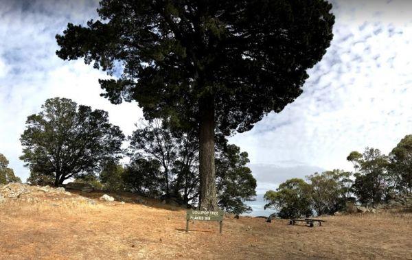
Mount Beckworth Scenic Reserve - Manna Gums - Camping A...
Mount Beckworth Scenic Reserve - Manna Gums - Camping Area, bring your own firewood and check with the local Visitor Information Centre for details on camping here
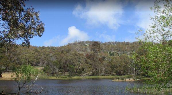
Mount Beckworth Scenic Reserve - The Dam - Camping Area
The Mount Beckworth Scenic Reserve - The Dam, you need to bring your own firewood and check with the local Visitor Information Centre for details on camping here.
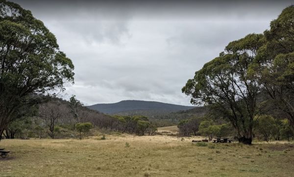
Mount Clear Campground (Namadgi)
Mount Clear Campground is a remote camping area assessable for 2wd vehicles if you take it easy.
Great spot, heaps of space, tables, and fire pits, plus a single drop toilet and a couple of rainwater tanks
You will see colourful Eucalyptus stellulata wi ...
Read More...
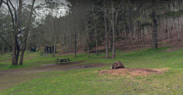
Mount Franklin Reserve Camping Area
The Mount Franklin Reserve Camping Area you are camping at this Extinct Volcano location is limited, but well worth it, with plenty of walking tracks to explore the area.
Mountain Dam Camping Area has lots of wildlife photography opportunities. There is a boat ramp, a drop toilet and a few fire pits with picnic tables at this campground. You can launch your kayak with ease, but do take it carefully, as there are lots of de ...
Read More...
The Mountain Dam Camping Area has a boat ramp so you can launch your kayak with ease. There is a drop toilet and a few fire pits with picnic tables and this campsite has plenty of campsites to choose from.
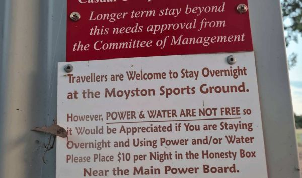
Moyston Sports Ground offers a convenient and affordable camping option located in the township of Moyston, Victoria, known as the birthplace of Australian Rules Football. It provides a relaxed base for exploring the nearby Grampians National Park and the ...
Read More...
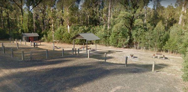
Mt Disappointment State Forest - No 1 Camping Area
Mt Disappointment State Forest - No 1 Camping Area has plenty of spots to choose a campsite from. There are picnic tables, undercover shelters, fire pits and public toilet, plus a few good mountain bike tracks in the area that are worth exploring.
The Mt Kosciuszko Lookout Rest Area has plenty of room to park all sized caravans on a large gravel surface. There is an information board and a few bench seats, and on a clear day you can see Mt Kosciusko in the distance.
The Mt Langi Ghiran State Park Camp Area is a very basic free camping bush site for setting up a hiking or 4WDriving camp base.
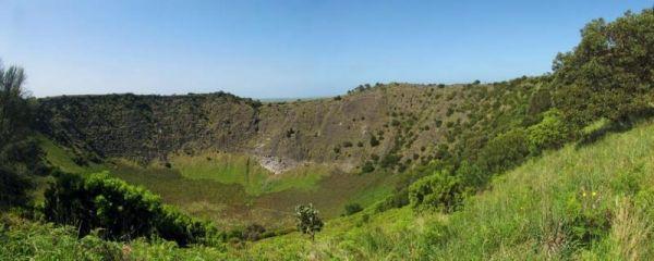
Mt Schank Picnic Area - Extinct Volcano
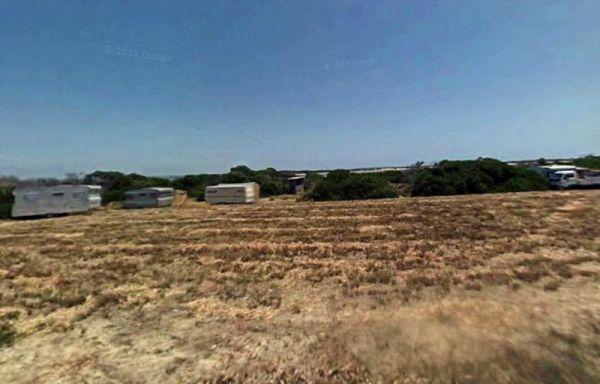
Musselroe Bay Camping Area
When camping in the Musselroe Bay Camping Area, you should bring your own firewood and use the existing fireplaces. There is a boat launching ramp just up the road in the area if you need it. GPS -40.831987,148.177916
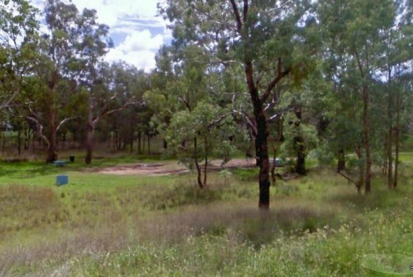
Myall Creek Rest Area
The Myall Creek Rest Area is a shady spot set back from the main road in amongst some tall trees that offer some nice shade.
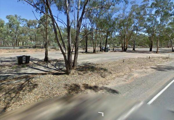
Myers Flat Rest Area
Myers Flat Rest Area is wedged between the railway and the Loddon Valley Hwy and on the outskirts of Bendigo (Eaglehawk end) so lots to explore in town, a good spot to stop and work out where you are going to stay, and there is lots of room to park, with ...
Read More...
From the Nanango Tipperary Flat Rest Area you can stock up on supplies from the main strip shopping centre, which is located on the D'Aguilar Highway, Nanango.
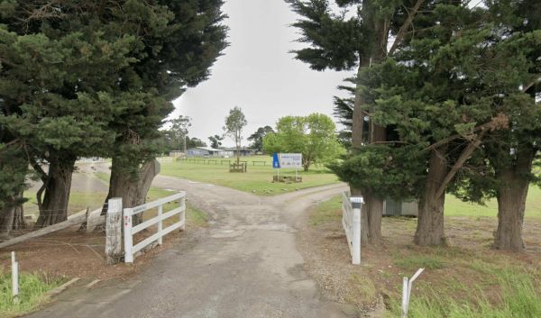
Nariel Creek Recreation Reserve
Nariel Creek Recreation Reserve is a spacious and picturesque camping area situated on the banks of Nariel Creek in the Nariel Valley, Victoria. Located approximately 12 kilometres south of Corryong along the Benambra-Corryong Road, it's known for its nat ...
Read More...
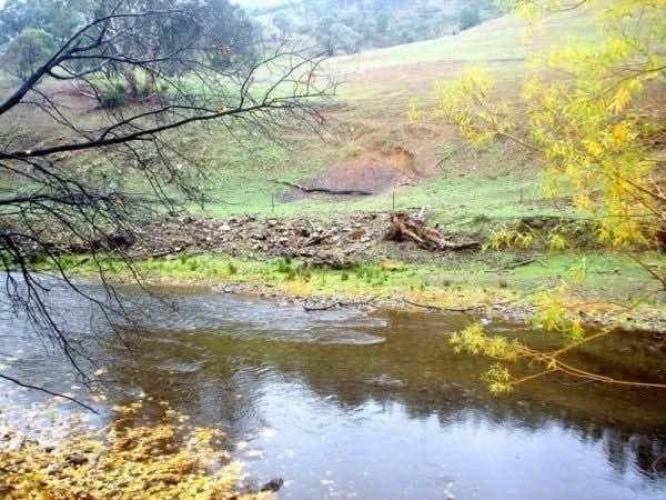
Nariel Creek Recreation Reserve Camping Area 48 Hour Li...
The Nariel Creek Recreation Reserve Camping Area is a beautiful spot, with public long drop toilets, a lovely babbling river, green grass for camping on. is on the grassy banks of the creek, lots of spots to choose from for an overnight stay. Please note ...
Read More...
Plenty of spots at the Narrung Jetty Reserve, all on a nice grassy area within easy walking distance of the waters edge. There are rubbish bins toilets and a water tap for washing dishes etc. NOTE: 72 Hour Limit for camping NOTE: 72 Hour Limit for camping
The Nash Creek Camping Ground has a few Goannas running around the campsite, long drop toilets with water tank, picnic tables and fireplaces (Bring your own wood). There are tracks that seem to attract dirt bikes and 4x4x enthusiasts.
The Native Dog Flat Campground is a nice campsite along Alpine Way near Benambra, with the Buchan River nearby. There is plenty of green grass, with large campsites and one drop toilet, it has been reported that Brumby's sometimes walk through to this cam ...
Read More...
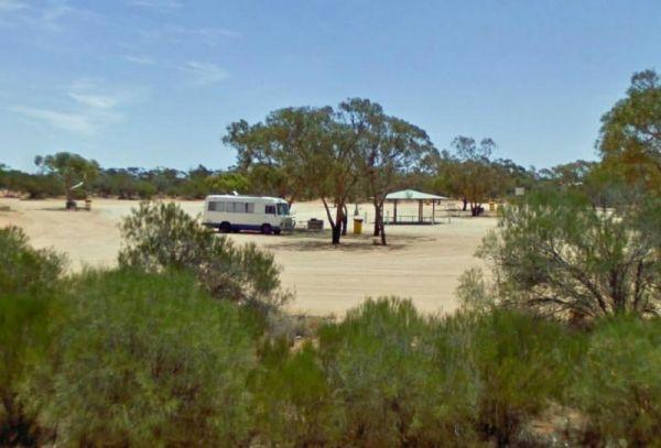
Nerren Nerren Rest Area 24 Hour Limit
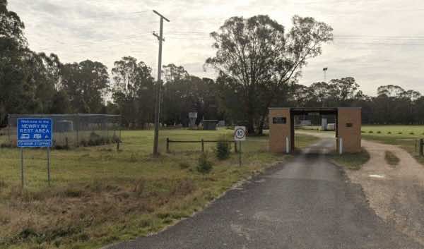
Newry Recreation Reserve is a designated free rest area located at 838 Three Chain Road in Newry, Victoria, adjacent to the Newry Golf Club. It offers a convenient and low-cost overnight stop for self-contained travellers in the Gippsland region.
Descrip ...
Read More...
Newstead Racecourse and Recreation Reserve is a historic and spacious reserve located in the town of Newstead, Victoria, situated on the banks of the Loddon River in the heart of the Goldfields region. Once renowned as the longest racecourse in Australia, ...
Read More...
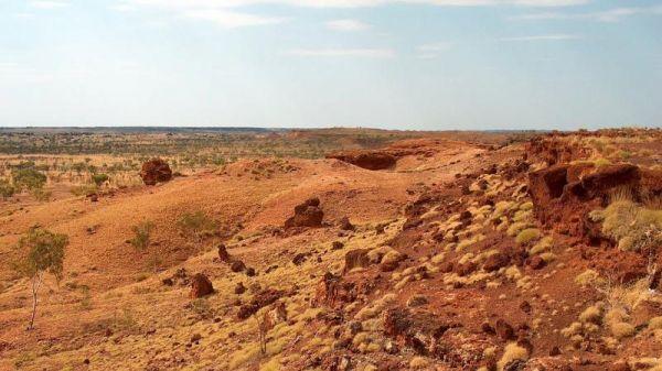
Ngumban Cliff Lookout Rest Area 24 Hour Limit
The Niagara Dam Camping Area is a great place to camp for a night or a week has public long drop toilets, a black water dump point, rubbish bins and fire pits, be sure to bring your own drinking water.There are two short walking trails from the day use ar ...
Read More...
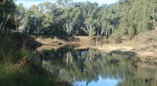
Nobles Beach Camping Area
The Nobles Beach Camping Area has a few good camping spots to stop at, along the Murrumbidgee River, and make camp for a few days.
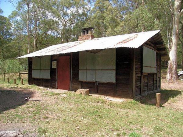
Noonans Flat Camping Area
If planning on staying at the Noonans Flat Camping Area, has amazing views with good access to the river, and an there's an old mine not far away to explore. It would be a good idea to contact Parks Victoria about prevailing conditions, before heading off ...
Read More...
At the Notley Camping Area you can enjoy the serenity of the bush, and take a short stroll along one of the tracks. There are two drop toilets, fire pits and large picnic tables located here at the campground.
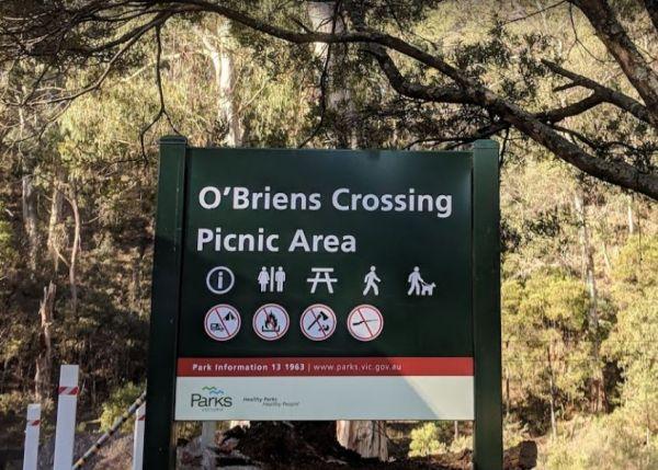
O'Briens Crossing Picnic Area
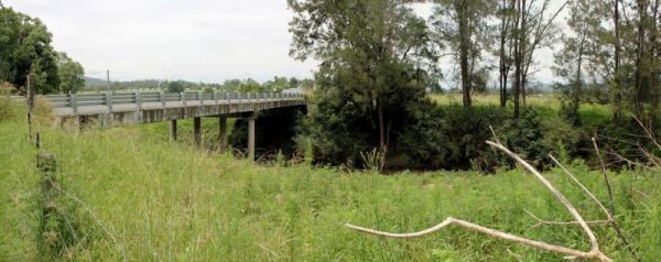
Old Bonalbo Pioneers Park Rest Area 24 Hour Limit
The Old Bonalbo Pioneers Park Rest Area has room to park your caravan and is right on the banks of the Duck Creek for fishing enthusiasts. You will experience a bit of Road noise, but apart from that, it's a nice spot for an overnighter.
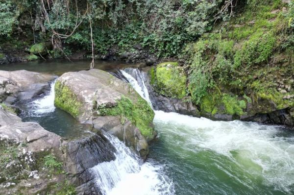
Old Camp
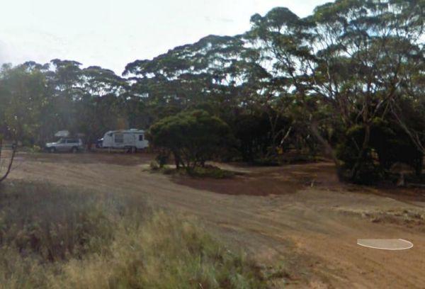
Overshot Hill Nature Reserve 24 Hour Limit - PERMANENTL...
The Paddys River Falls Camping Area is a nice quiet and not so rough bush camp, with hiking, swimming, fishing and fishing all within easy reach of your campsite. Note: There is a 4 Week camping limit in place.
When at the Pamamaroo Lake Camping Area is a huge space to camp, either along the lake shore where there are no toilets, or adjacent to the historical Burke and Wills campsite where there's toilets.
Note: The Menindee sports ground has a tap for water. ...
Read More...
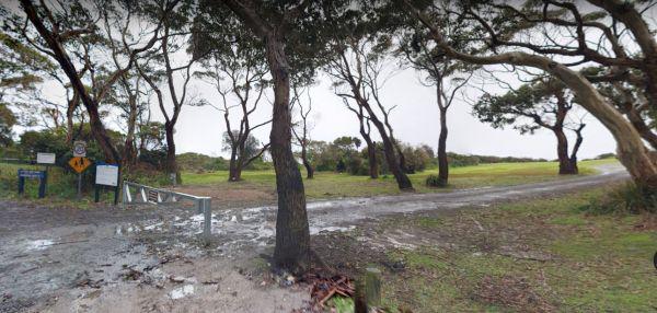
Peggs Beach Conservation Area Campgrounds
The Peggs Beach Conservation Area Campgrounds has no Power available, Bring your Own Wood for the BBQ's, this campground is controlled by Parks Tasmania. This is a popular spot with easy access to nice sandy beaches.
The Petrudor Rock Camping Area has plenty of space for a caravan, there is a long drop toilet and some picnic tables, plus a few walking tracks. It's a nice spot to enjoy the wildflowers when there in season, and a large expanse of granite, with flowing w ...
Read More...
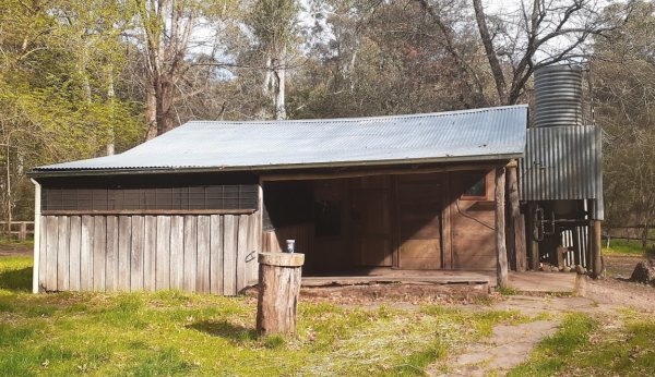
Pickerings Flat Camping Area
Pickerings Flat Camping Area is a rough bush camp, there are a few Old Mines in the area, so take care if walking off the beaten track.
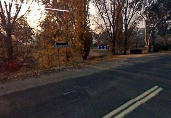
Pigs Point Reserve Camping Area
The Pigs Point Reserve Camping Area is a great spot the Mitta River on the omeo highway about 14 km from Tallangatta. It has mobile phone reception, clean long drop toilets, large well maintained camping areas and fire pits. Great area for fishing, trout, ...
Read More...
The Pildappa Rock is a beautiful place to pop in on your way to your overnight destination, many photo opportunities available here. Note: The local council does not encourage camping here.
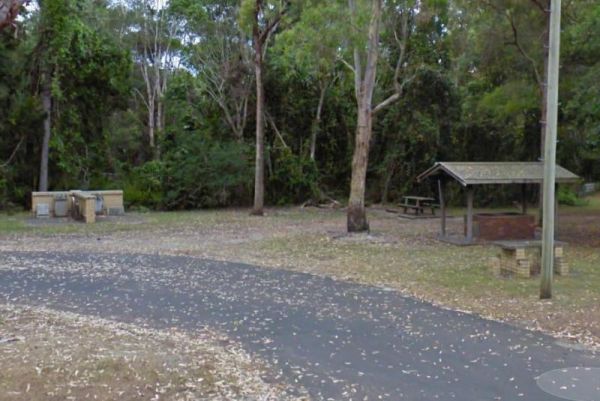
Pilgrim Memorial Park Rest Area
The Pilgrim Memorial Park Rest Area is just outside Brunswick on Tweed Street, there is room to park your caravan, a public toilet, some picnic tables and rubbish bins, and a wood fired bbq. With the Simpsons Creek on the other side of Tweed Street, grab ...
Read More...
The Pindari Dam Camping Area is utopia if you enjoy fishing and camping and has a boat ramp available if needed. There is plenty of shoreline fishing spots available, great place for a kayak and camera , undercover picnic tables, public long drop toilets, ...
Read More...
Plantation Campground it's best to bring your own water for the Bush Showers as no water on-site.
{tab title="Halls Gap Local Places to Eat" class="grey"}
Kookaburra Restaurant, 125-127 Grampians Rd
The Views Restaurant, 394-404 Grampians Rd
Quarry ...
Read More...
Port Gibbon Camping Area
If your planning on going to Port Gibbon Camping Area be sure to bring plenty of supplies with you, as there are no local shops to replenish from, and I'm sure you will get fed up eating fish everyday and nothing else.
The Porters Creek Picnic Area is located on the corner of Porters Creek Road and Hut Road. This spot is on the banks of the Murray River, with a few picnic tables and shady trees to park under. Remember to take everything you need with you, and take your ...
Read More...
The Psyche Bend Camping Area is a place you can take your dog popular spot during public holidays. There is a historic pumping station nearby, which is open, and run by local enthusiasts.
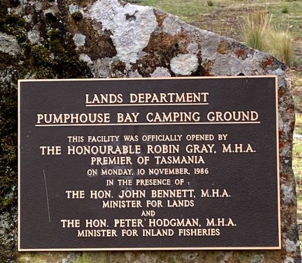
Pump House Bay Campground
The Pump House Bay campground has toilets and showers adjacent Hydro Bay area of Arthurs Lake and this lake has some of the best trout fishing in Tasmania, the campsite can be closed during the winter months due to snow.
The Ramornie Rest Area can be a bit of a tight squeeze for big rigs if few are parked here.
If you intent to camp at the Raspberry Hill Campground, this is a well-drained campsite close to Mt Cope and suitable for all styles of camping. There is a long drop toilet and a small water tank, and it's best to check first with Parks Vic, before headin ...
Read More...
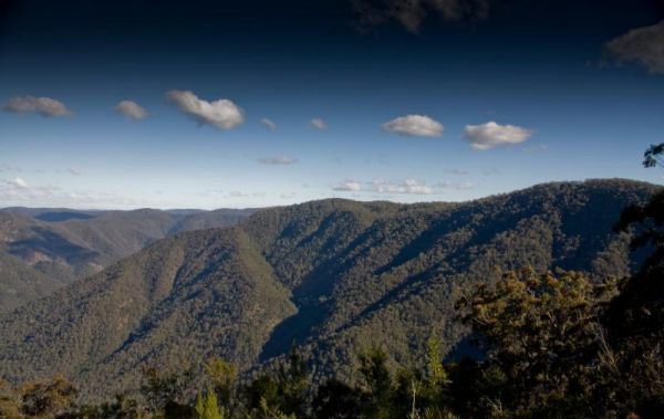
Raspberry Lookout Gibraltar Range National Park Rest Ar...
The Ration Point Camping Area is a nice spot to spend some time on the river and its interesting to see both sides of the river here have been worked for alluvial gold during the gold rush days. This campite is not far from the historic mining township of ...
Read More...
Red White and Blue Mine Camping Area, is a nice little place with a number of campsites near the dam with built in fireplaces, picnic tables, you can catch fish and yabbies in the dam. It's also a good location to ride a mountain bike to and there are som ...
Read More...
The Reef Hills State Park Camping Area there are some Mountain Bike tracks, that were built by the local young enthusiasts, complete with jumps, ramps, berms and even a see-saw, and they accommodate all levels of experience and skill. There are also a few ...
Read More...
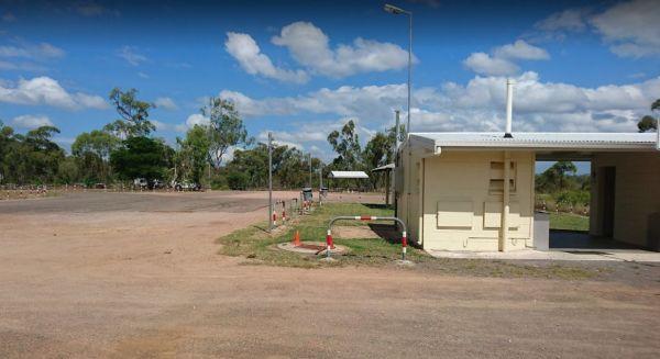
Reid River Rest Area
The Reid River Rest Area is not a bad spot to have a rest from driving, but not a lot to do or see at this location as the river is mostly dry and flows in the wet season.
The Reids Campground is a bare bones back to basic bush campsite, you need to bring everything you need, and is best suited to vehicle based camping. The Arnold Creek runs nearby, so you will be able to get some nice photos of your stay here.
The Rennick Plantation - Palpara Camping Area, it's best if you have levelling blocks with you if you intend to camp with your camper here.
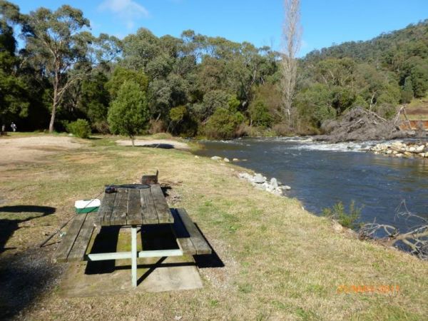
Rock Flat Camping Area
To find the Rock Flat Camping Area is an awesome place to go camping with family. There are long drop toilets, picnic tables and fireplaces with large grassy areas to camp on, use your GPS to navigate to this nice camping area. If you intend to use the fi ...
Read More...

Rocks Crossing Reserve
The Rocks Crossing Reserve is a small spot just off the Nowendoc Road, there are picnic tables and rubbish bins here, plus the Nowendoc River runs behind the reserve, so it might be worth a look. To get to the water, you need to walk down two flights of s ...
Read More...
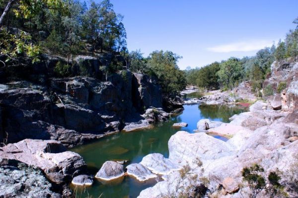
Rocky Creek Glacial Camping Area
To find the Rocky Creek Glacial Camping Area, is an amazing place with great views and it's an ancient geological glacial area, so take s stroll over the rocks lining the river banks. To get here you follow a rough dirt track that leads to a rough bush ca ...
Read More...
The Roses Park Rest Area is a lovely place to let a few hours drift away, drop the kayak and do a quick explore or a bit of river fishing in time for dinner.
The Rubicon Boys Campground is near the scenic Rubicon River and the historic hydro power station. This campground has long drop toilets and can get busy over long weekends, and holidays in general. There are some nice 4x4 tracks to explore, and fishing i ...
Read More...
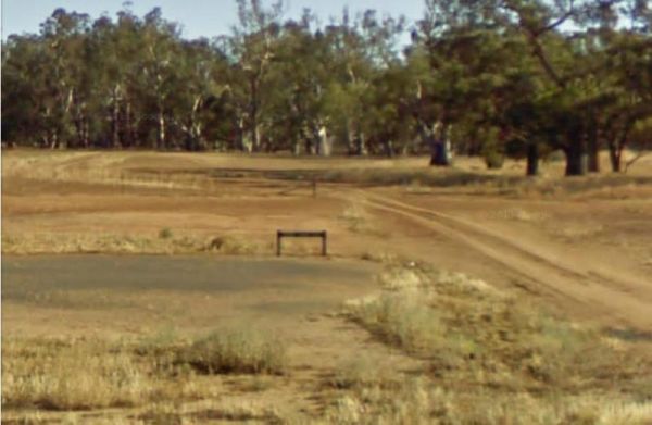
Rudds Point Reserve Camping Area
Rudds Point Reserve Camping Area has some picnic tables, and fireplaces and plenty of places to park your caravan close to the Murrumbidgee River. The turn off can be easily missed, so use your GPS and you’ll be OK finding this place.
The Running Creek Camping Area has no built fireplaces at this site, so please use a previous campfire site where possible and clean up afterwards please.
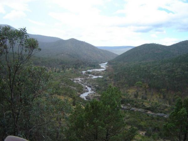
Running Waters Camping Area
At the Running Waters Camping Area you just have to love the experience of camping beside the Snowy River. There is a long drop toilet and a couple of picnic tables and fireplaces with plenty of cut logs. There are plenty of things to capture within the c ...
Read More...
Rupanyup Memorial Park, located at 89 Wimmera Highway in Rupanyup, Victoria 3388, offers a convenient and affordable stop for travellers, particularly those exploring the renowned Silo Art Trail. Situated beside a tranquil billabong, the park provides bot ...
Read More...
The Rush Dam Camping Area is a basic bush campground, you can take a walk around and check out the Old Gold Mining Area.
The Russ Creek Camping Area is not far from the Gibb River-Wyndham Road, the campsite is next to a billabong. This is a rough bush camp site where you bring everything you need and take away your rubbish, make certain you have plenty of fresh water if cho ...
Read More...
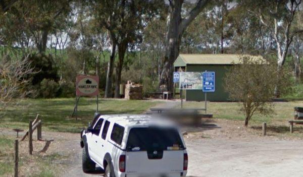
Saddleworth Rest Area
The Saddleworth Rest Area backs onto the Gilbert River, this gravel area is reasonably flat to park your caravan on. There are some fireplaces, picnic tables and rubbish bins here.
The Samaria Wells Camping Area has lots of Campsite with firepits, hikes through the forest, to various waterfalls and stunning lookouts. The road in is a bit rocky and perhaps not the best for standard 2 wheel drive vehicles. This camp is for, vehicle or ...
Read More...
Sandy Creek Rest Area
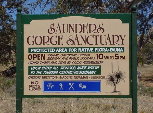
Saunders Gorge Sanctuary - Permanently Closed
The Sawpit Campground is a popular free camping spot in the Mt Clay state forest with lots of walking, mountain bike riding tracks, with abundant wildlife around. There is plenty of space between campers, plus a sheltered area with large picnic tables, bb ...
Read More...
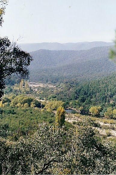
Scotchies Yard Camping Area - Permanently Closed
Permanently Closed Scotchies Yard Camping Area is another great spot for your camera, with plenty of walks and spots to drop the kayak on the water and lots of fishing spots as well.
The Sennis Campground is a quiet spot with a couple of long drop toilets and a lovely creek which meanders around the outskirt of the camping ground. This campground is located on the Tyers River, and has plenty of wildlife visiting this campsite, includi ...
Read More...
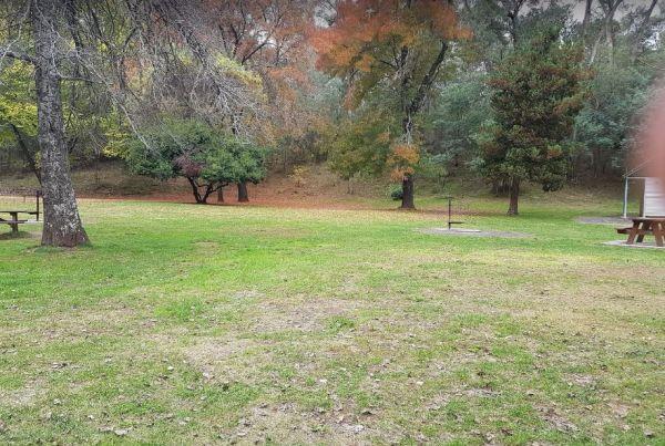
Sheepyard Flat Camping Area
The Sheepyard Flat Camping Area is a lovely quiet and relaxing campsite that has plenty of grassy areas to choose from on the banks of the Howqua River. For the fishermen amongst us, the river seems to only hold carp, but I could be wrong. To get to the c ...
Read More...
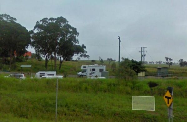
Singleton East Rest Area Will be Permanently Closed on ...
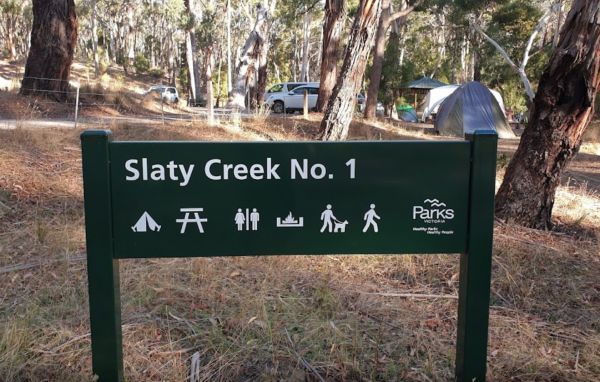
Slaty Creek Campground No1
The Slaty Creek Campground No1 has a public long drop toilet, fire pits with bbq, picnic tables and quite a few places to camp at with your caravan. You will share this place with a few gold prospectors and a few motorbikes.
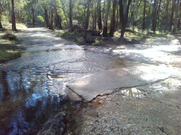
Slaty Creek Campground No2
The Slaty Creek Campground No2 is a nice place for an overnight camp, and it's only a 5 minutes walk to the toilets at Campground No1. This cam is best suited to tents and camper trailers, or small campervans.
Note: The small creek has no water flowing i ...
Read More...
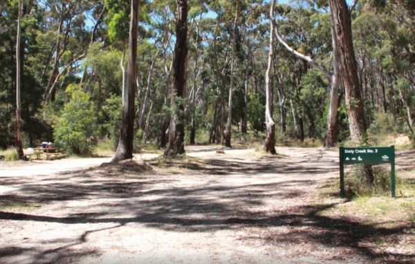
Slaty Creek Campground No3
To get the Slaty Creek Campground No3, it's best to drive in from the slaty creek road end as its an easier road. Some campsites have small concrete slabs for leveling your van. Campground No1 has a public toilet
The Smiths Bridge Campground, is fairly close to the main road, but not to many cars at night so you can relax in amongst the tall trees, and take advantage of public toilets and the picnic facilities.
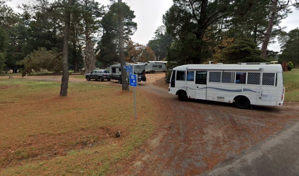
Smythesdale Gardens
Smythesdale Public Gardens, located in Smythesdale, Victoria, is a public reserve that offers camping facilities. It is known for being a community-managed space that provides a convenient and often free or low-cost stop for travellers, particularly those ...
Read More...
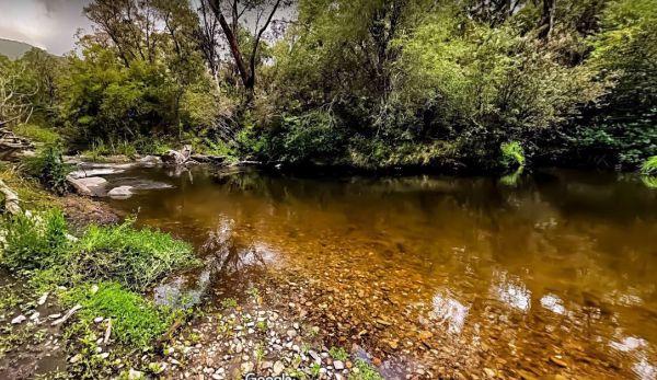
Snowy Creek Campground
The Snowy Creek Campground is located on the banks of the Snowy, with Brown and Rainbow Trout, Redfin, Yellow Belly, Blackfish.Creek, and Murray Cod waiting to be caught. There is a public toilet and picnic tables at this camp. Other activities include bu ...
Read More...
The Specimen Creek Camping Ground is a 4x4 enthusiasts with and tent based camping, so you need to bring everything you need for this rough bush campsite.
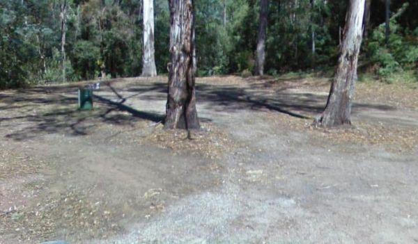
Spellmans Reserve
The Spellmans Reserve is a small area next to a stony Wilmot River with a few deep holes, with the possibility of a trout or two lurking in them.
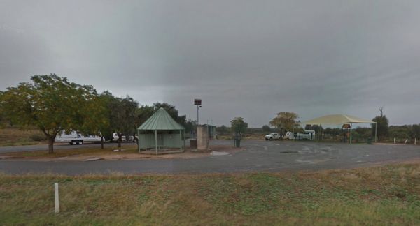
Spring Hill Rest Area
At the Spring Hill Rest Area you will find an undercover children’s playground, Undercover picnic tables, public toilet, tank water and rubbish bins. There is a normally dry creek-bed to explore, overall it's a nice spot to take a rest and refresh yoursel ...
Read More...
The Springfield Rest Area is right on the doorstep of Springfield Orchard so you can stock up on some fresh fruit from the shop.
At the Square Bush Rest Area the picnic table and wood fired bbq that is under the shade of a large gum tree, and set well back from the main road, but you will still hear every road noise.
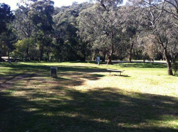
Stacey Bridge Camping Area
The Stacey Bridge Camping Area is next to the beautiful Wheeler Creek, there's two sites on either side of the road, with plenty of space your caravan. There's well maintained long drop toilets, fire pits, picnic tables. The Wheeler Creek is good for fly ...
Read More...
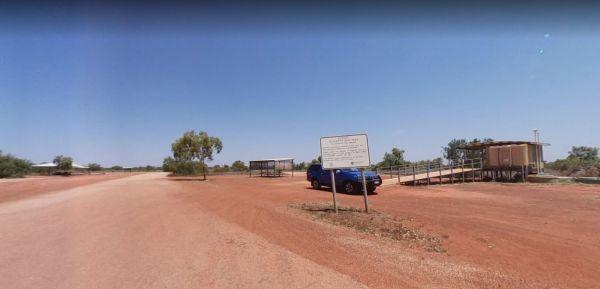
Stanley Rest Area 24 Hour Limit
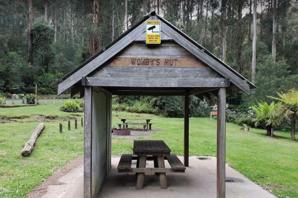
Starlings Gap Camping Area
The Starlings Gap Campground has 5 designated fire pits and two long drop toilet, picnic tables and you're surrounded by amazing trees and great views. is a bit of a tight squeeze if a few vehicles are there at the same time. The hardest part is finding a ...
Read More...
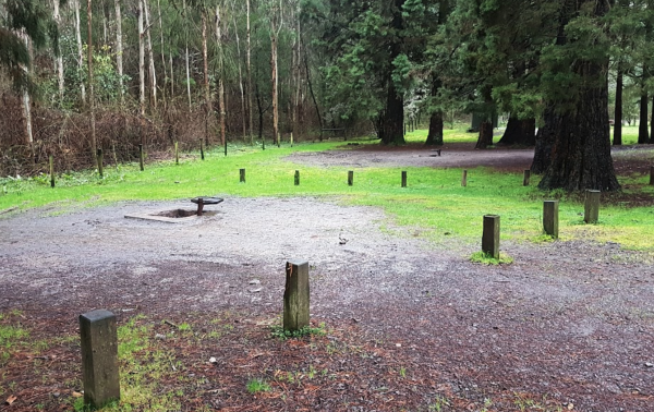
Stevenson Falls Scenic Reserve Rest Area
Stockmans Reward Camping Ground is a well set up camp ground with fire pits and a long drop toilet sand good access to water at Arnold Creek. There is a fair amount of suitable areas to camp at. You can get a small camper trailer in, but it's more suited ...
Read More...
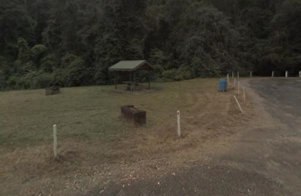
Stockyard Creek Rest Area
The Stockyard Creek Rest Area is located on the corner of Oxley Highway and Stockyard Creek Road, between Port Macquarie to Walcha. Its not the largest place to park your caravan but ample room to turn around if needed. There are public toilets, undercove ...
Read More...
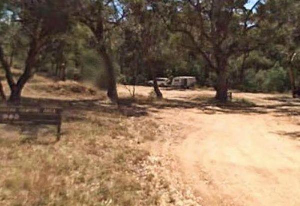
Suggan Buggan Campground
When going to Suggan Buggan Campground, be a bit wary if you intend to take a caravan to this place, it is a bit hilly, Once there pop over and have a look at the Old Schoolhouse, remember to take your camera with you.
The Surface Point Camping Area has a few walking trails, with lots of wildlife and a creek to explore plus you can try your luck at finding GOLD in the creek. Please be careful if bushwalking here as there are many hidden mine shafts in the area. There is ...
Read More...
To get to the Surry Ridge Picnic and Camping Area you need to travel down narrow dirt roads which means it's more suitable to small campervans and car based camping.
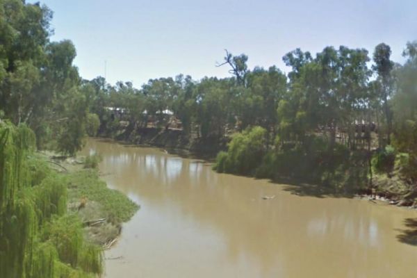
Swaggies Beach Camping Area
The Swaggies Beach Camping Area can be a bit hard to find unless you use GPS with off road maps is a great help in finding camping spots like this one.
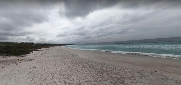
Swimcart Beach Camping
Swimcart Beach Camping Area is a beautiful free camp close to white sandy beaches and rocks with lots of spots to choose from, and it's just a short walk to the beach, overall it's a nice place to sit and relax for a while.
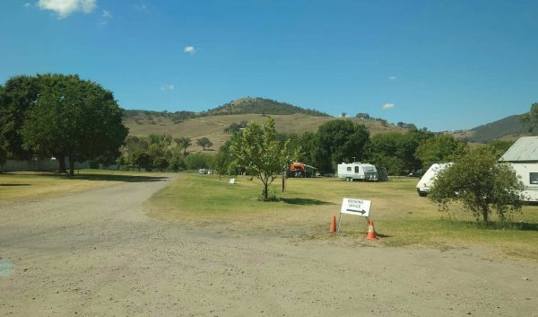
Tallangatta Showgrounds
The Tallangatta Showground, located in Tallangatta, Victoria, serves as an expansive rural camping area offering a tranquil retreat for visitors. It is situated within easy walking distance of the Tallangatta town centre, providing convenient access to lo ...
Read More...
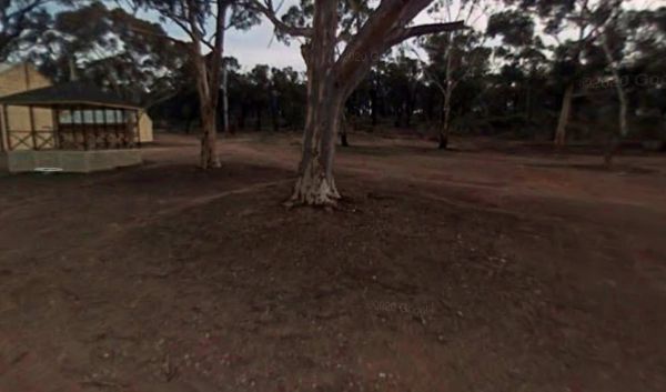
Tarnagulla Recreation Reserve
Tarnagulla Recreation Reserve offers a tranquil camping experience in the heart of Victoria's historic goldfields. Please note that powered sites are not available at this reserve; camping is unpowered only.
Facilities:
The reserve provides essential am ...
Read More...
Taylor Creek Rest Area has a mobile-phone signal enhancer that enable your phone to access the network. Plenty of room to park with undercover picnic tables, wood fired bbqs, rubbish bins, tank water and public toilet making this a well equipped rest spot ...
Read More...
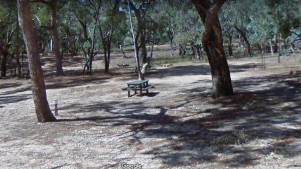
Teddington Reservoir Camping Area
When at Teddington Reservoir Camping Area, is an absolutely beautiful spot with flushing toilets, some fire pits, and quite a few places to choose a campsite for a day or two, there's plenty of wildlife passing by. You can walk over and take a look at the ...
Read More...
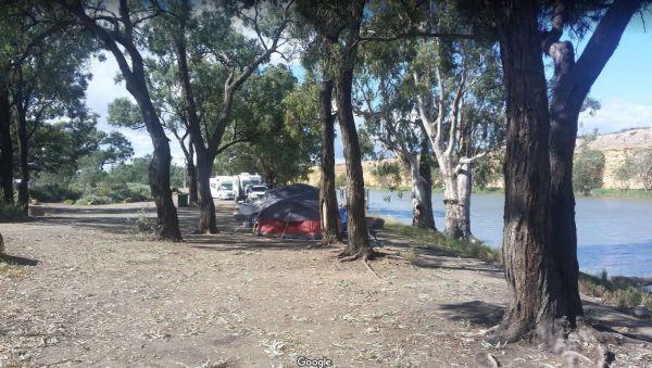
Tenbury Hunter Reserve
The Tenbury Hunter Reserve has public toilets, fire pits & ferry to Swan Reach. It appears this is no longer a Free Campsite, and fees now apply if you intend to stay here. Could someone please confirm that a small fee now applies to stay here?
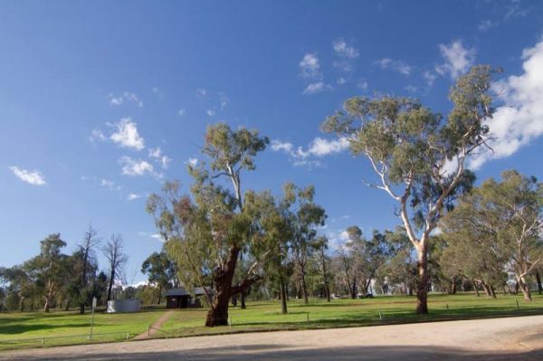
Terramungamine Reserve 24 Hour Limit
The Terramungamine Reserve is a great free place to camp right next to the river. It's great for swimming, water actives, canoes, kayaks etc. and for those who like fishing, Murray Cod and Golden Perch. The reserve is set well back from the main road, wit ...
Read More...
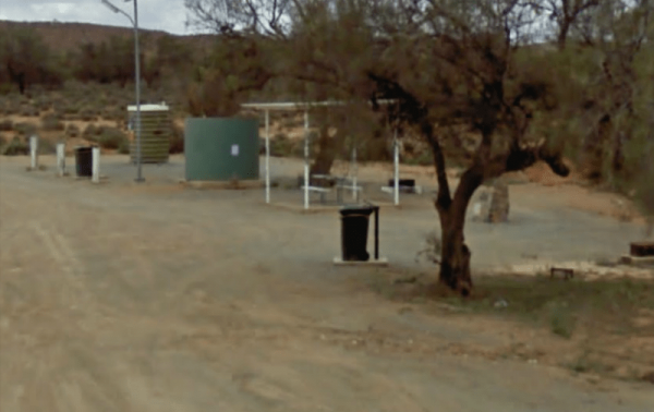
Thackaringa Hills Rest Area
At the Thackaringa Hills Rest Area you can pull off the Barrier Highway along a strip of gravell that has a few low trees for shade, a public toilet, undercover picnic table, rubbish bins and tank water. There is not a lot to do here, apart from sitting a ...
Read More...
The Breakaways Camping Area is a truly beautiful and breathtaking location, where all the colours of orange are illustrated into the sand, cliffs and stone. It's an easy drive even in a two wheel drive as long as it's not raining or wet. There is a public ...
Read More...
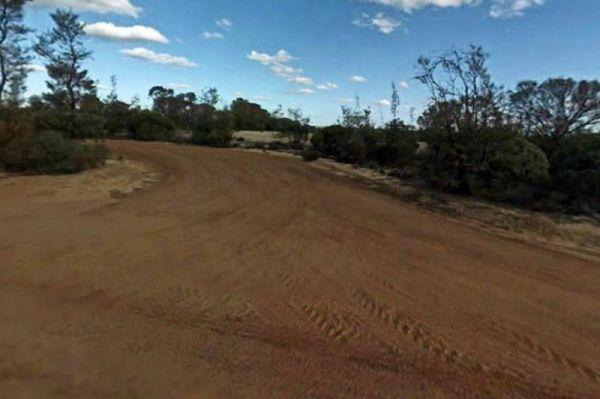
The Forrestania Plots Camping Area
The Forrestania Plots Camping Area is a great place to camp for the night on your trip across the nullarbor with Plenty of self-contained bush camping spots with a few fireplaces. Note: The ground is quite hard to drive tent pegs into.There is an old buil ...
Read More...
The Fort O'Hare Camping Area has large campsite with built in fire pits with bbq plate, a public drop toilet and picnic tables, located on the banks of the Glenelg River, pet friendly.
You will also find an Honesty box at the local store for camp fees. W ...
Read More...
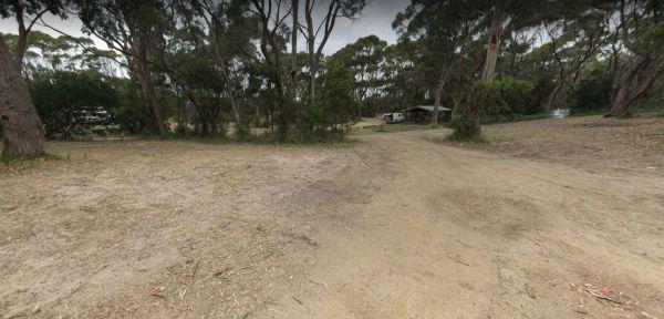
The Neck Camping Area
The Neck Camping Area is run by Parks Tas, with beach access only a short distance away. Enjoy your surroundings and walk to the beach. Be sure to check out the boardwalk viewing platforms. Keep an eye open for penguins around dusk, as the inhabit burrows ...
Read More...
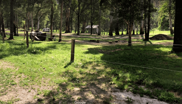
The Poplars Camping Ground
The Poplars Camping Ground is only 15 mins from Noojee Town centre. The rangers come regularly to top up toilet paper a,d give them a clean. You'll find some campsites have fire pits, level ground wiand easy accessible, and the Loch River runs next to the ...
Read More...
The Wattles Camping Area, you are not permitted to fly drones without a permit here. The camping area has a few suitable campsites available for tents, and smaller campervans than large caravans.
When at the Tia River Rest Area walk over to the Tia River and try your luck at angling. There is an undercover picnic table with wood fired bbq, and some rubbish bins.
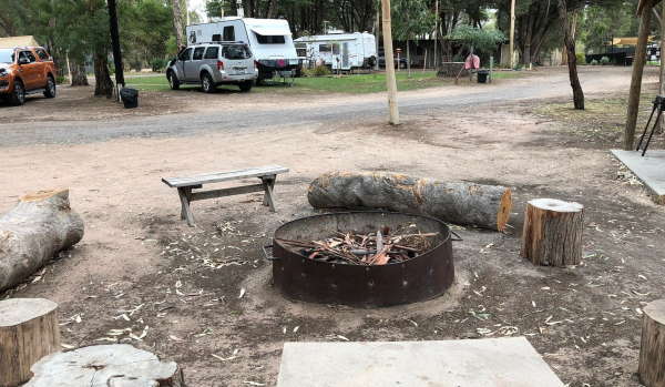
Tiny Away Escape at Grampians Edge
Tiny Away Escape at Grampians Edge offers a unique and tranquil accommodation experience nestled right on the doorstep of the majestic Grampians National Park in Victoria, Australia. This getaway features a variety of cosy tiny houses on wheels, newly ren ...
Read More...
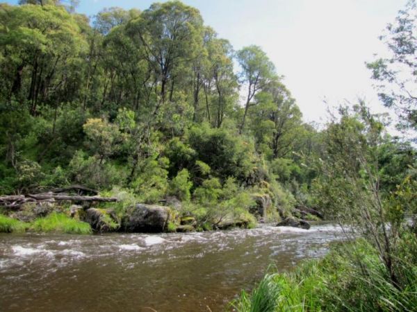
Tom Groggin Camping Area
Tom Groggin Camping Area, is a lovely location nestled right on the Murray River, NSW side and a great place to camp with toilets and lots of room to spread out on level ground. You will share your camp with eastern grey kangaroos. Emus, echidnas, brush-t ...
Read More...
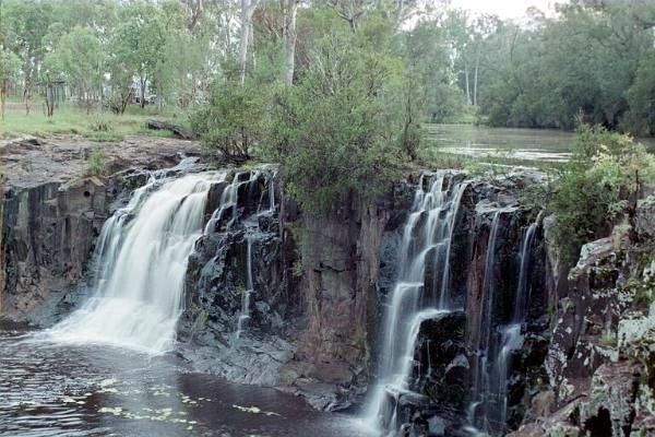
Tooloom Falls Camping Area
The Tooloom Falls Camping Area has a drop toilet and some basic facilities, with the main attraction being the waterfall. There’s a few picnic benches dotted around (some covered) and also fire pits. Tooloom Falls Camping Area location map
The Toorongo Falls Camping Area provides bush camping sites near the Toorongo River. Camping sites are available on a first come, first served basis and no booking is required.
Directions: From the Noojee Township head east for 4kms, then turn left onto ...
Read More...
The Torrumbarry Weir Camping Area is a great place for fishing, swimming or boating. This is a bush camp with plenty of spots to choose from, and not far from the Murray River. Be sure to pop over to the Weir gates and learn the history on how the weir wa ...
Read More...
The Vennells Camping Area Upper is a nice campsite, but be warned, there is some broken glass in the river. There is not a lot of tent space available and best suited to 4x4's vehicle camping.
The Victoria Falls Campground is a beautiful little sheltered campground, with a public long drop toilet and good grassy areas. It has a lovely bubbling creek with small trout to be caught. There are large areas to park your caravan, with fire pits and pi ...
Read More...
The Waanyarra Camping Grounds is situated in the Waanyarra/Dunolly state forest. There are long drop toilets, a shade hut with seating, and tank water but not suitable for drinking. The campground is quite large and is accessible for all vehicles includin ...
Read More...
The Walcha East Rest Area has very large bays for B Doubles etc, and plenty of room for caravans. This site is set back from the Oxley Highway, with public toilets, undercover picnic table, a bbq fireplace and a few rubbish bins, plus some trees for shade ...
Read More...
The Walhalla North Gardens is located next to the absolutely stunning town full of history. There picnic tables, running water taps, a public toilet, fire pits and your campsite is right next to a small stream. Walhalla can be linked back to the gold rush ...
Read More...
Walpeup Lake Camping Area is a great spot to camp, with some picnic tables and hot showers plus flushing toilets. The lake was constructed from a swamp in the 1930s but millennium drought and GWM pipeline put an end to it.
Wanda Wandong Camping Area is a great campsite with clean toilets, fire places, and plenty of walking trails. This is a large open area for Caravans and Campervans etc.
The walking track includes several informative signs that give insight into the local ...
Read More...
The Wang Wauk Rest Area is a nice spot to take a break from driving. with plenty of room for big rigs.
The Warren Gorge Camping Area has public toilets, and fireplace bbqs. and is run by the local council and for a nominal fee placed in the donation box.
The Warri Camping Reserve is a great area to camp close the Shoalhaven River with some road noise during the day but quiet at night.
Access to some sites are better suited to off road setups, but there are plenty of sites accessible for most. The campgro ...
Read More...
The Waterfalls Picnic and Campground has quite a few hiking tracks to choose from, including an 18 km Pyrenees Endurance Walk for the more energetic amongst us.
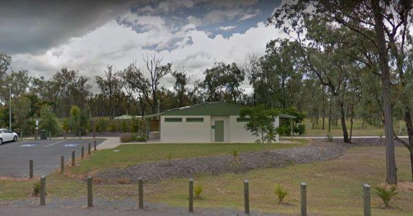
Waverley Creek Rest Area 20 Hour Limit
The Waverley Creek Rest Area has a maximum stay 20 hours allowed, Facilities include Wood fired BBQs, and tap water, as with most water your not sure about, it's advisable to purify it first by boiling before drinking. There is also a telephone box availa ...
Read More...
The Western Beach Camping Area has excellent toilets and cold showers with lighting, and tank water on tap. Fishing is not an option here as the lake has been dry for many years, and fills approx every 20 years or so.
The Whipstick Campground has an open shelter and 2 drop toilets. This is a nice tidy campsite, take note, it can get a bit noisy at night, from vehicles passing by.
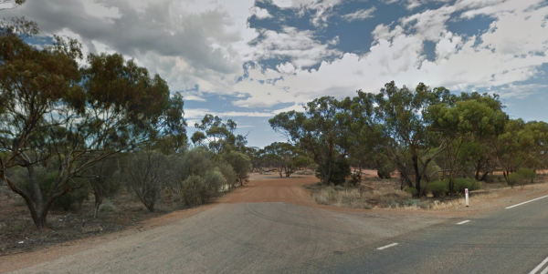
White Wells Rest Area
The Whitecliff Reserve Camping Area is a great little camping area with drop toilet and rubbish bins with shady campsites by a river that has a swimming hole.
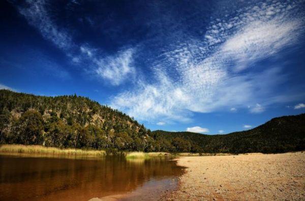
Willis Campground Area
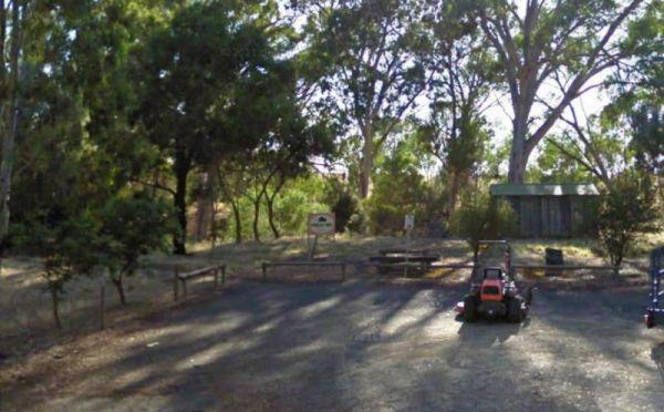
Winkler Park Rest Area
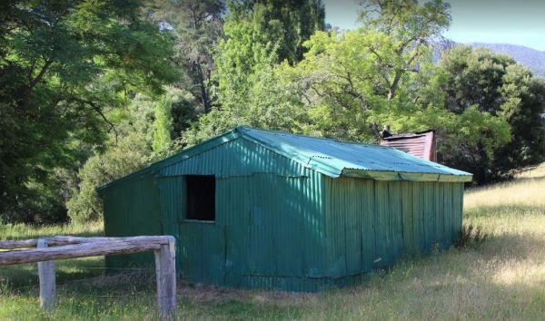
Wonnangatta Valley Camping Area
The Wonnangatta Valley Camping Area has river access and large flat areas to camp, and quite a bit to see here. Pop over to the small Cemetery and pay your respects to some of the districts Pioneers.

Woods Reserve
To camp at the Woods Reserve camping area, you must pre-book online first, otherwise you will not be able to stay here.
There are some fire pits, bbqs, and public toilets and showers with hot water available and a sink is provided for washing up, and thi ...
Read More...
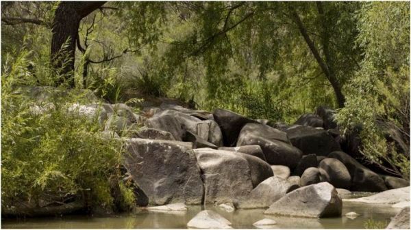
Woolridge Fossicking Camping Area
The Woolridge Fossicking Camping Area is a nice scenic and peaceful stop to try your hand at finding gold or gems near the Rocky River. This is a popular spot and, not a lot of level parking available, so make sure you have some levelling blocks with you. ...
Read More...
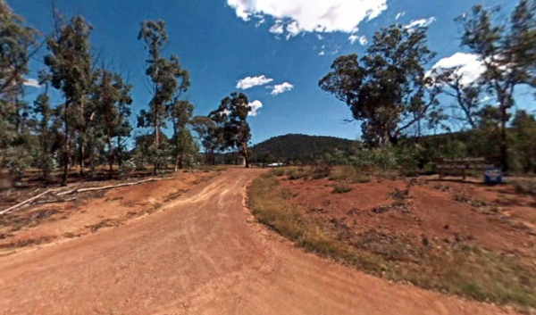
Wulgulmerang Recreation Reserve
Wulgulmerang Recreation Reserve offers both powered and unpowered sites suitable for tents, camper trailers, motorhomes, and caravans. It is a large, flat, grassy area with some trees providing shade. The reserve is looked after by the small township of W ...
Read More...
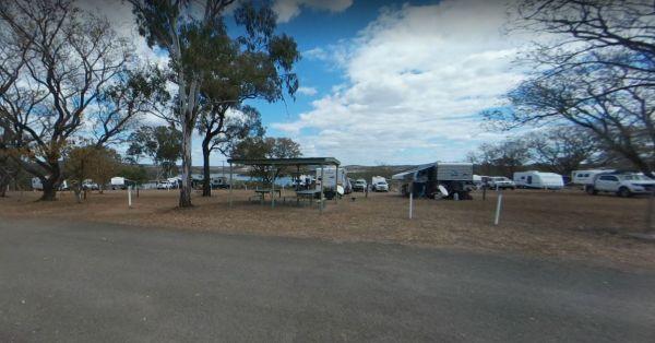
Wuruma Dam Rest Area 14 Day Limit
The Wuruma Dam Rest Area is a popular spot for us Grey Nomads, take your kayak off the roof and go for an exploratory paddle and maybe drag a fishing line behind just in case. There is a 14 Day maximum limit for all campers.
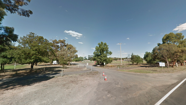
Wycheproof Caravan Park
The Yaapeet Beach Camping Area on average the lake fills every twenty years or so. Make sure you bring plenty of drinking water with you.
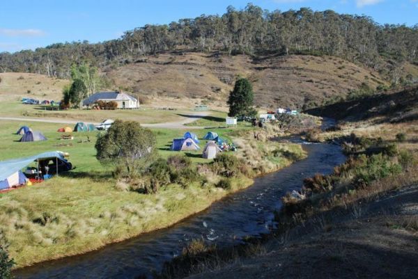
Yarrangobilly Village Camping Area
The Yarrangobilly Village Camping Area is a nice nice place for camping along the Yarrangobilly River. Long drop toilets, with lots of room to choose a campsite, there are picnic tables, fireplaces, flat mown grass, a clean creek and Brumbies roaming thro ...
Read More...
